


Hike "Rennsteig-Leiter Luisenthal" Thuringian Forest
Úroveň náročnosti: T1


Fotografie našich používateľov
-
 © JensMVytvorené dňa 29.10.2025
 -
 © JensMVytvorené dňa 29.10.2025
 -
 © JensMVytvorené dňa 29.10.2025
 -

 © Rainer KnochVytvorené dňa 10.08.2025
 -
 © Jan 2505Vytvorené dňa 03.08.2025
 -
 © Marcus HapunktVytvorené dňa 19.01.2025
 -
 © Marcus HapunktVytvorené dňa 19.01.2025
 -
 © Lars ReichVytvorené dňa 01.05.2024
 -
 © Lars ReichVytvorené dňa 01.05.2024
 -
 © Lars ReichVytvorené dňa 01.05.2024
 -
 © Lars ReichVytvorené dňa 01.05.2024
 -

 © thschoeVytvorené dňa 23.08.2025

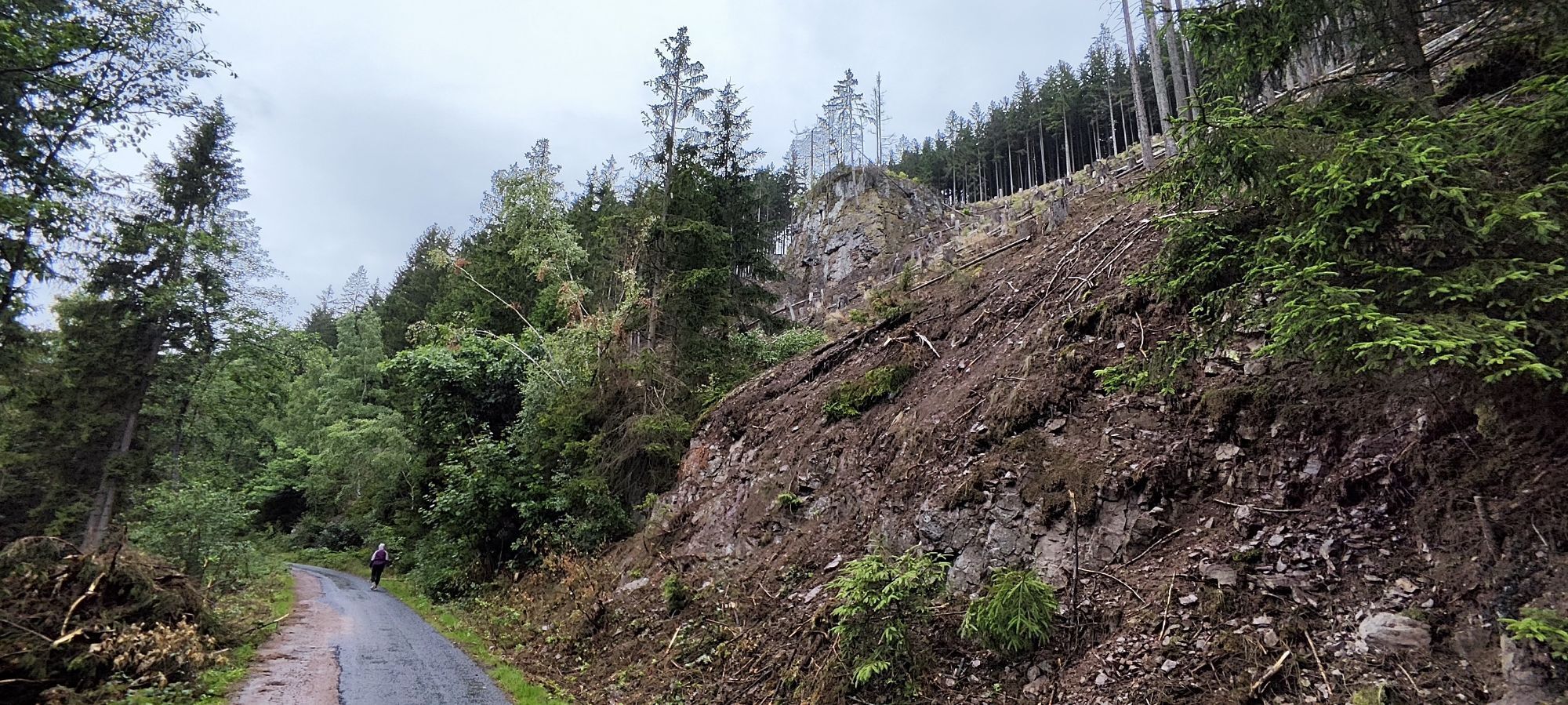

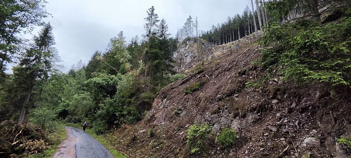
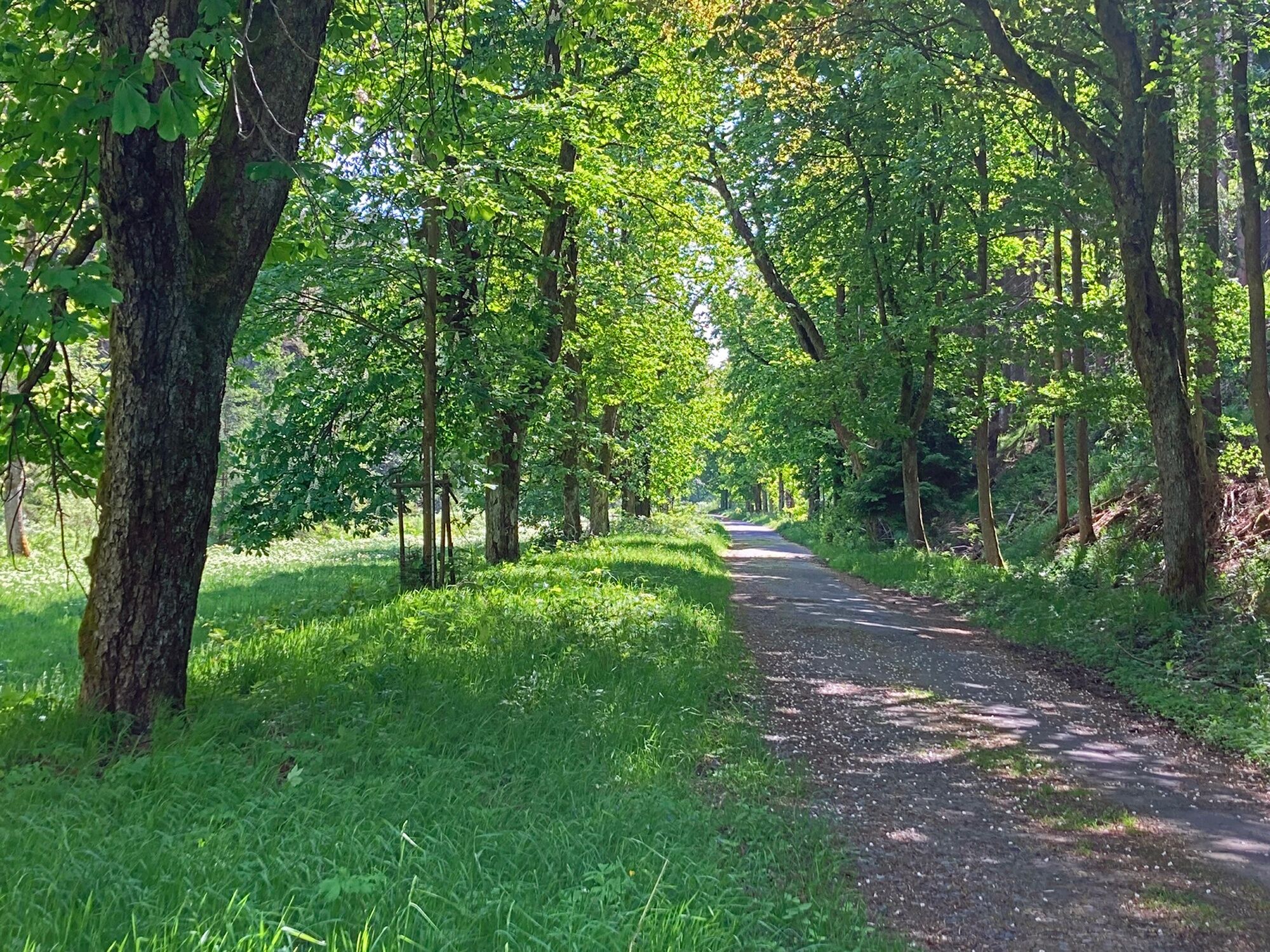
First you hike along the Alte Kunststraße, which once led from Gotha via Oberhof to Coburg.
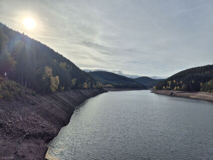
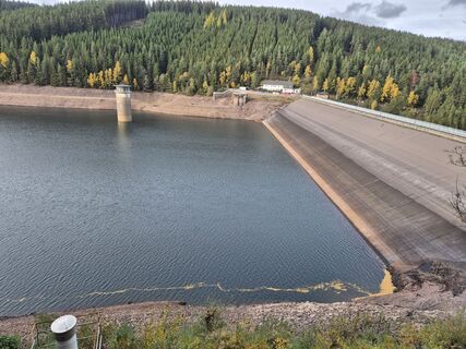
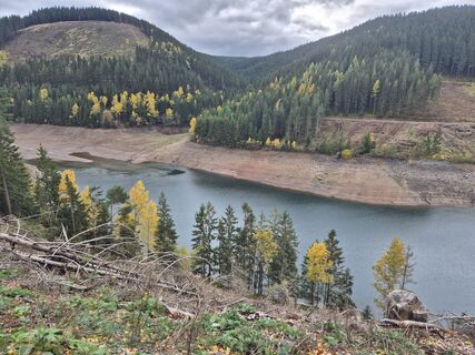
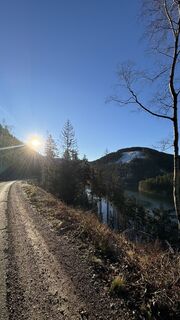
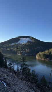
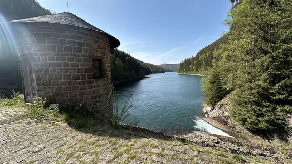
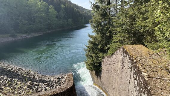
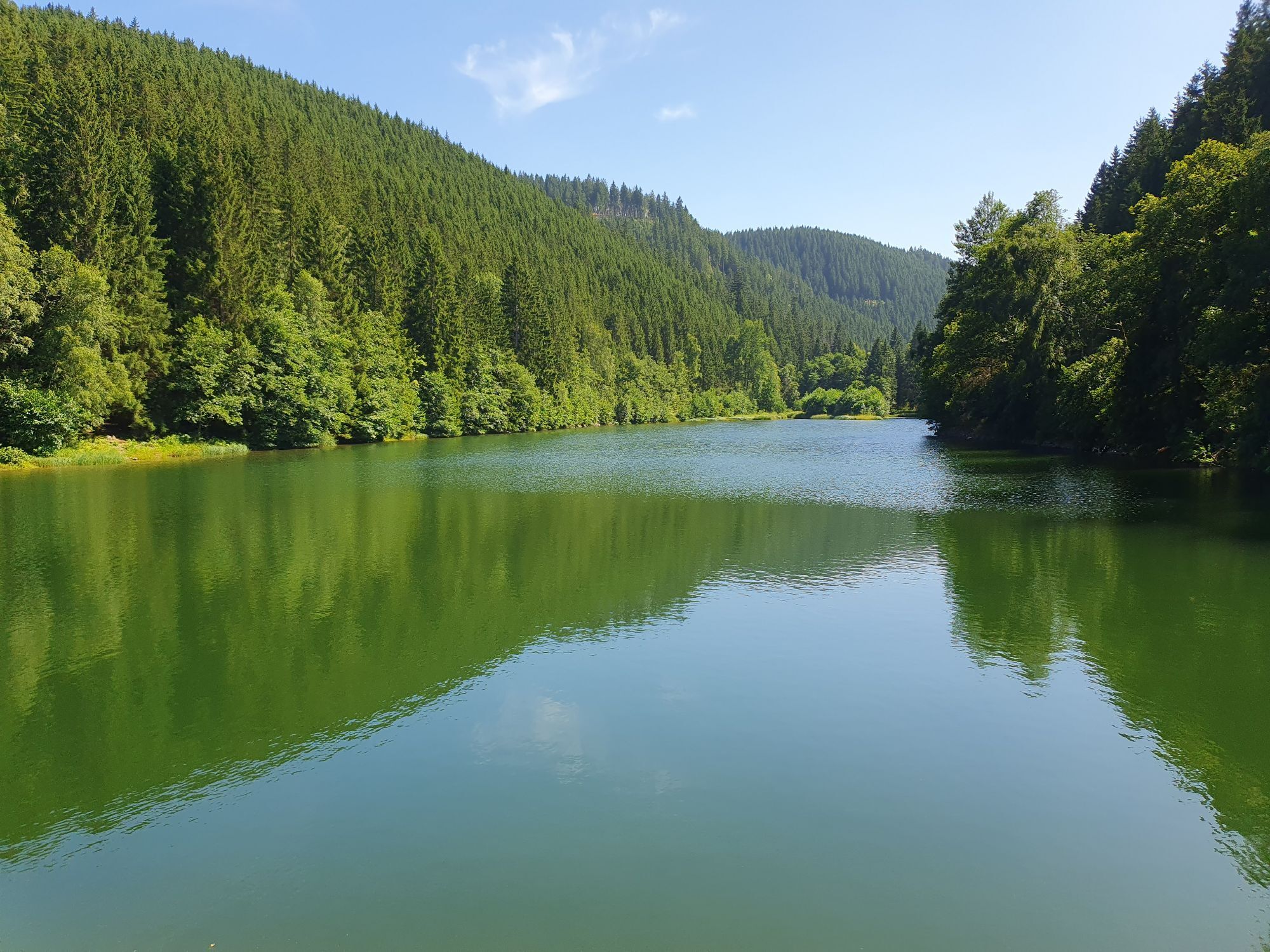
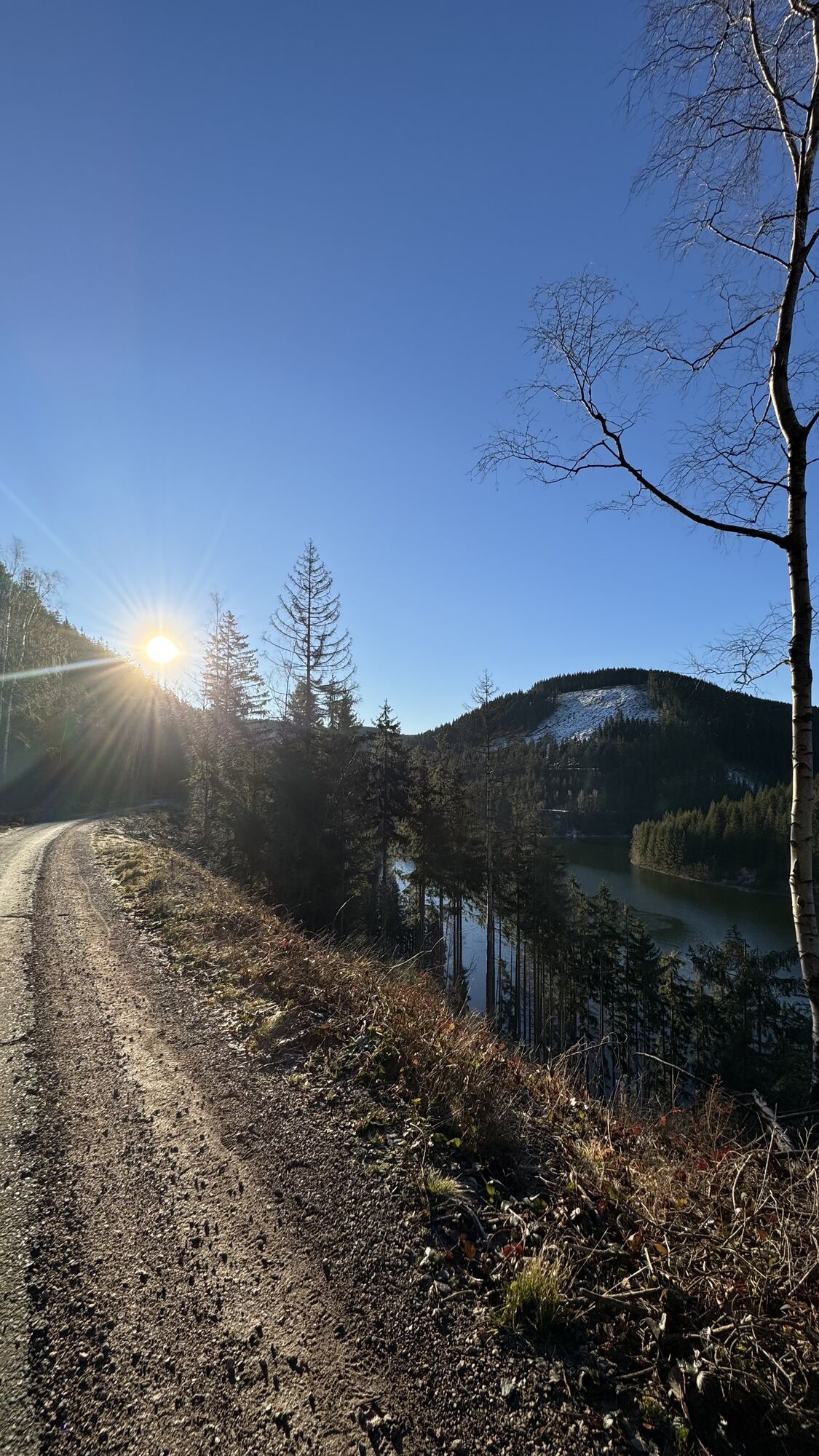
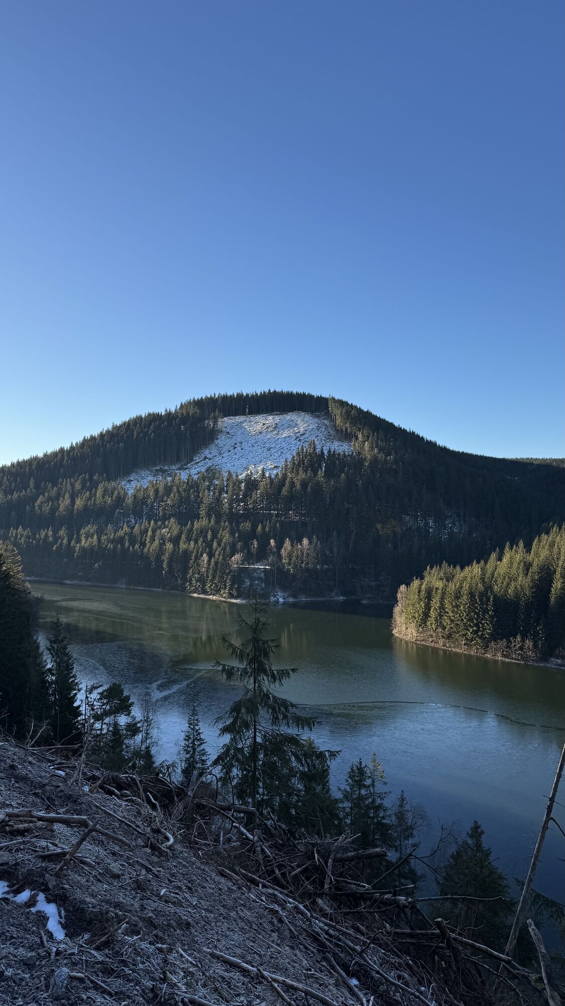
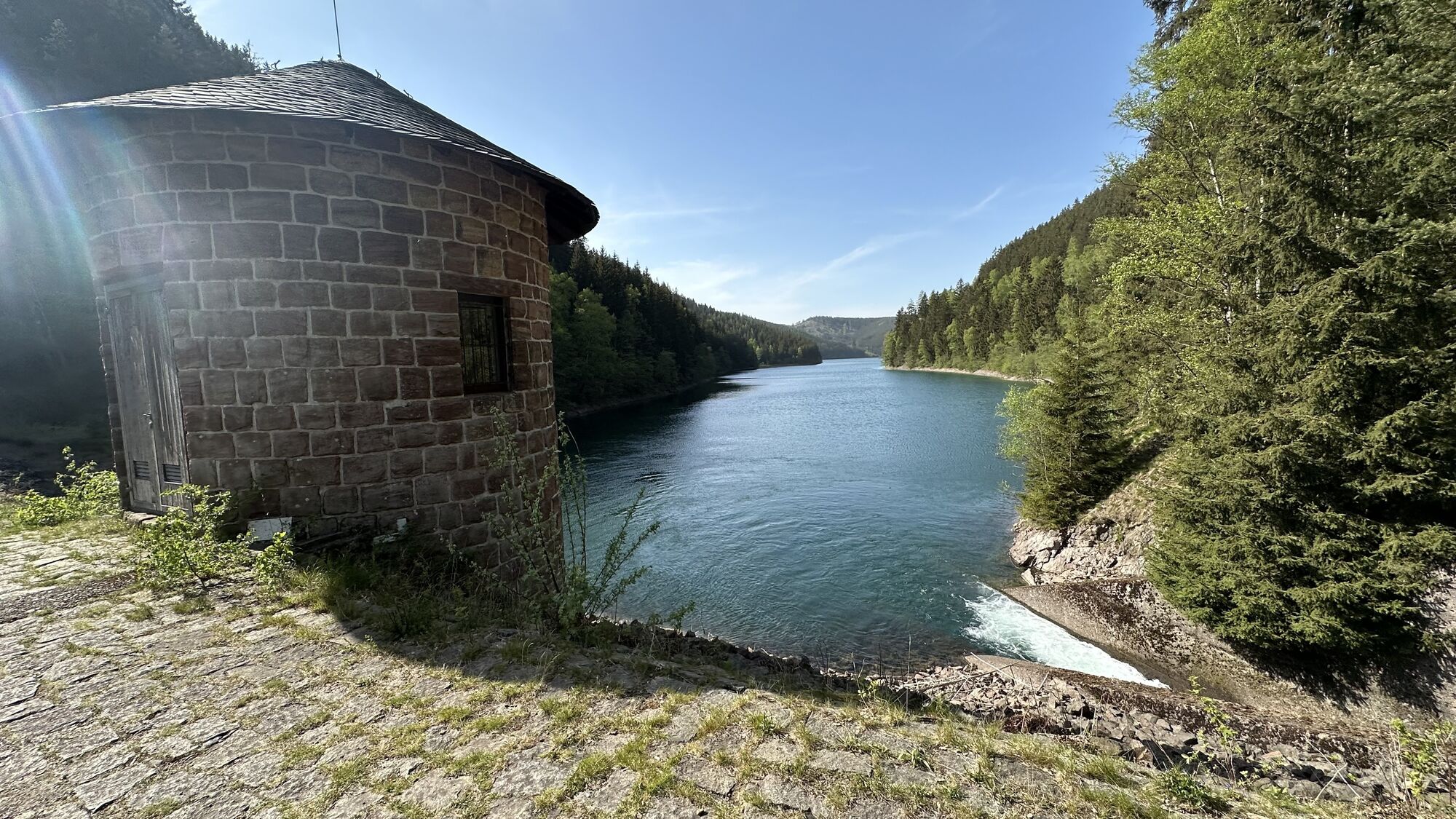
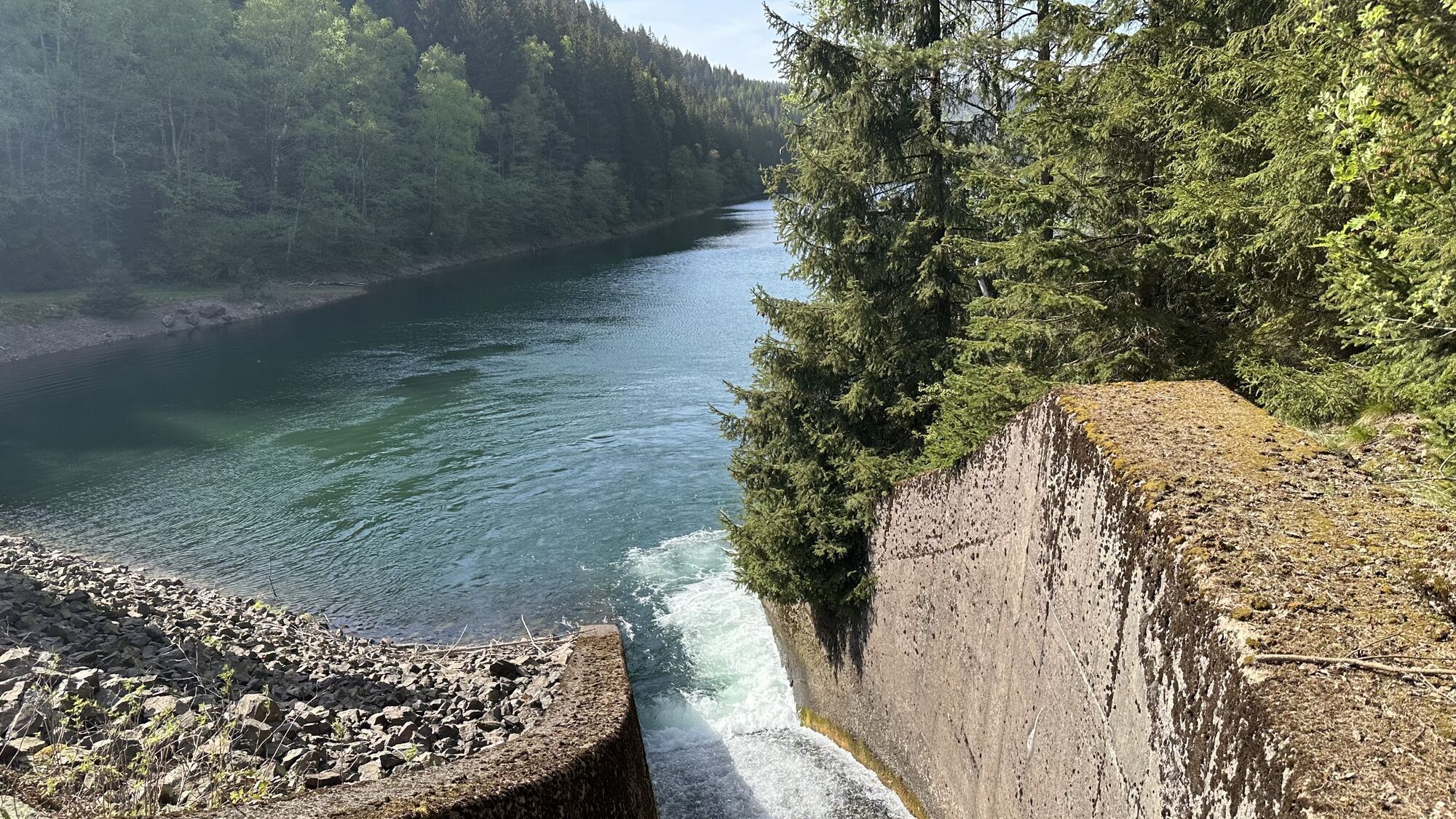
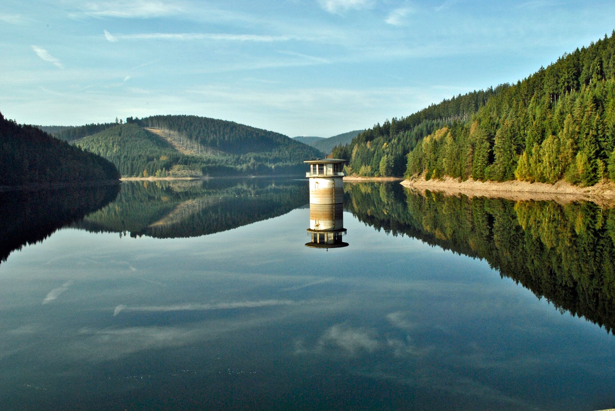
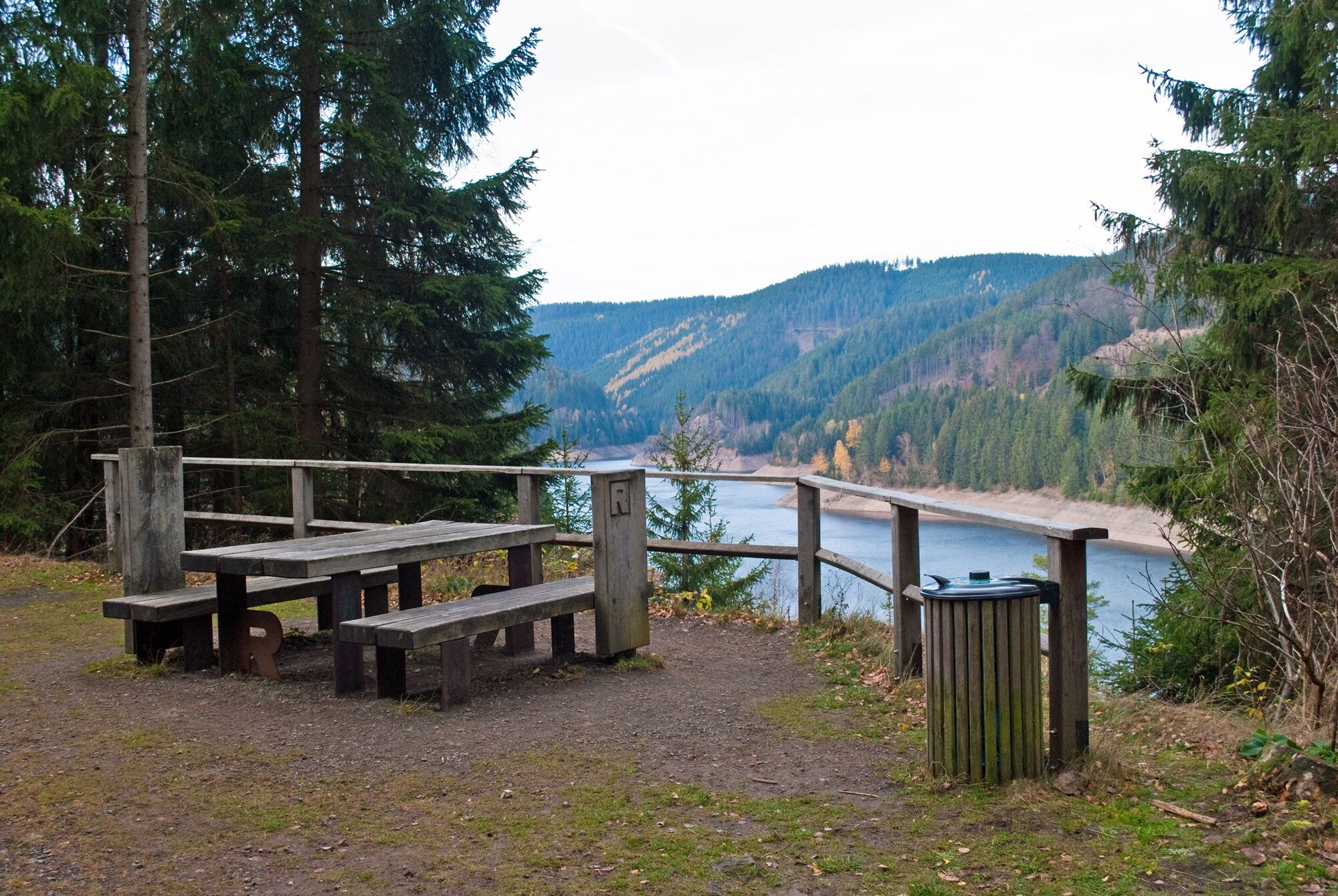
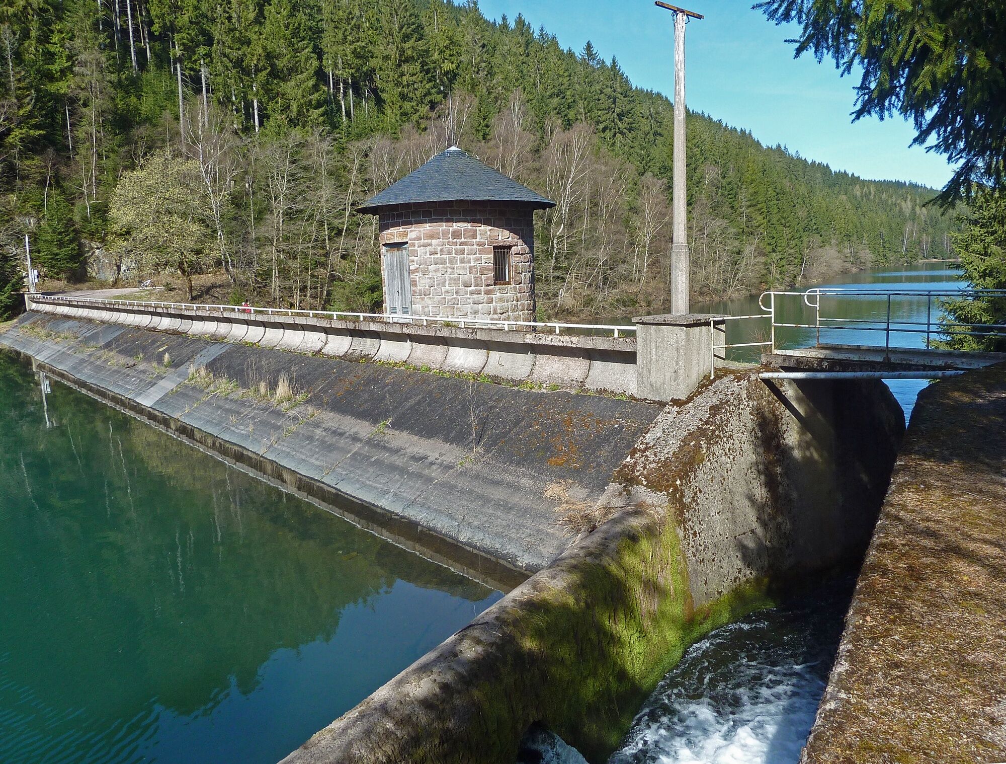
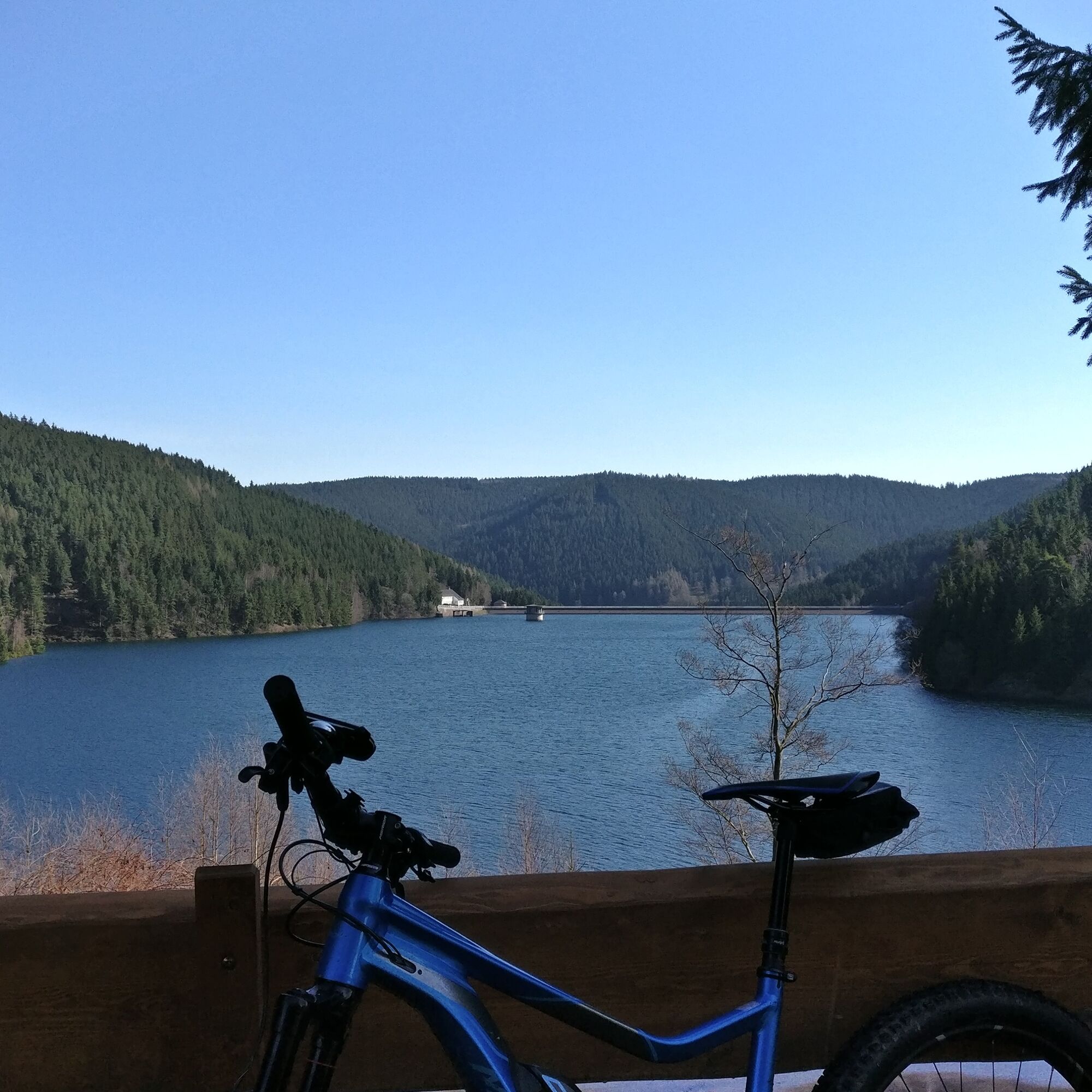
Then you continue on the circular hiking trail around the Ohratal dam. There are numerous viewpoints on the banks...
First you hike along the Alte Kunststraße, which once led from Gotha via Oberhof to Coburg.
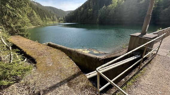
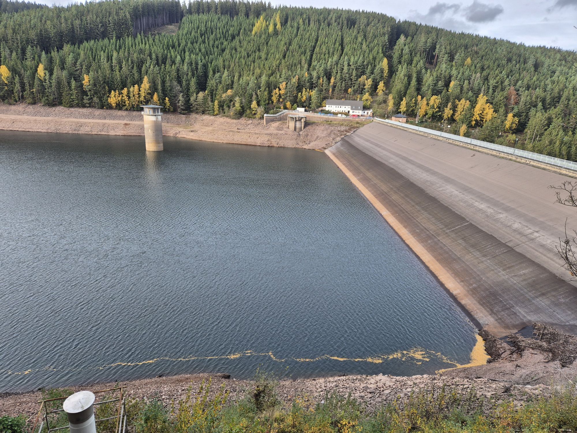
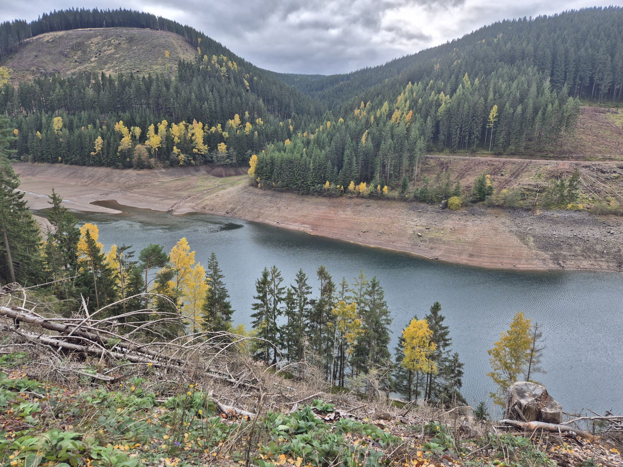
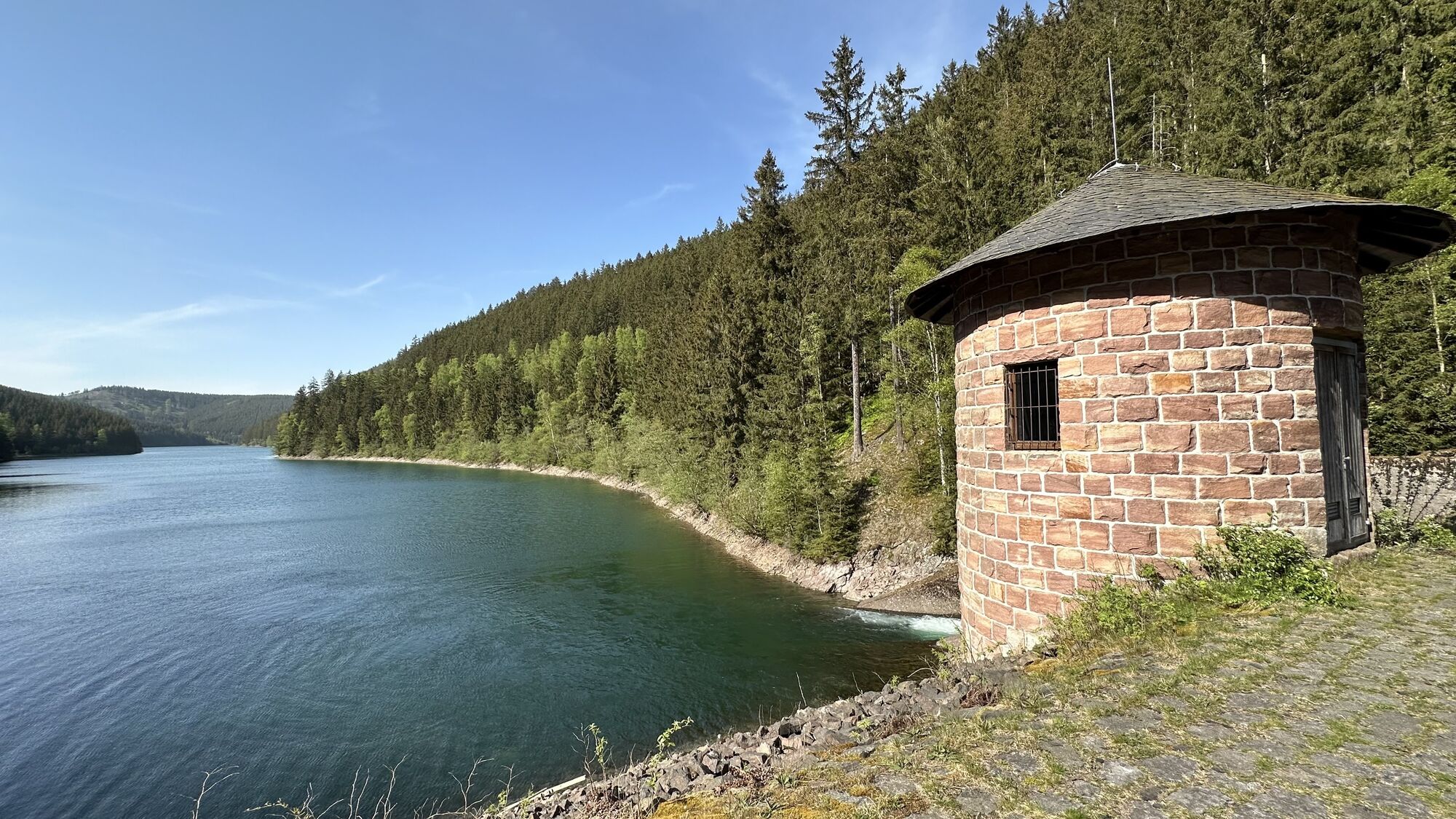
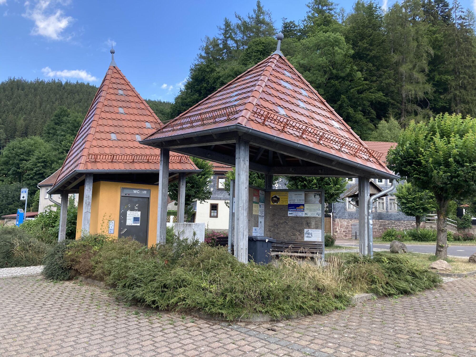
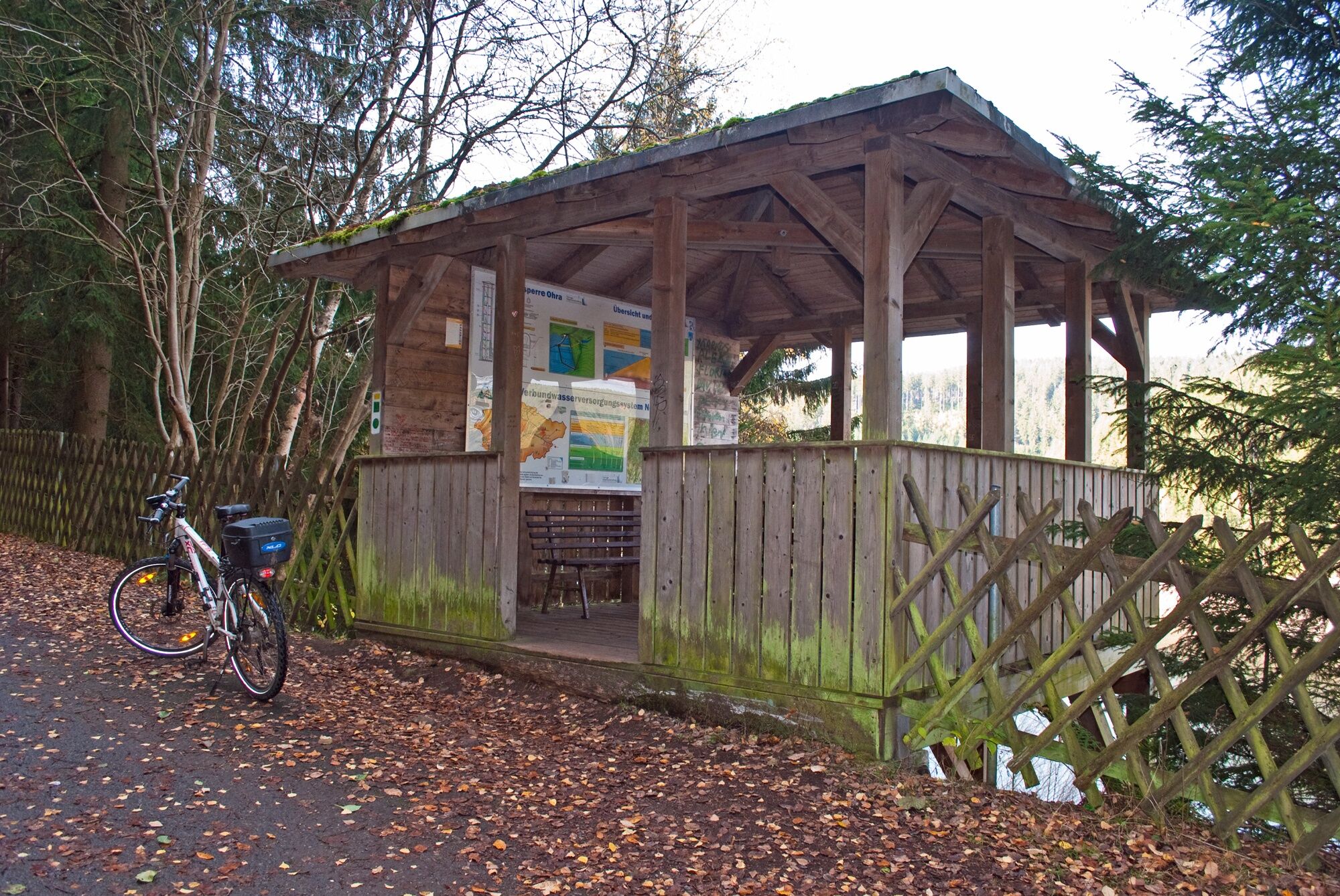
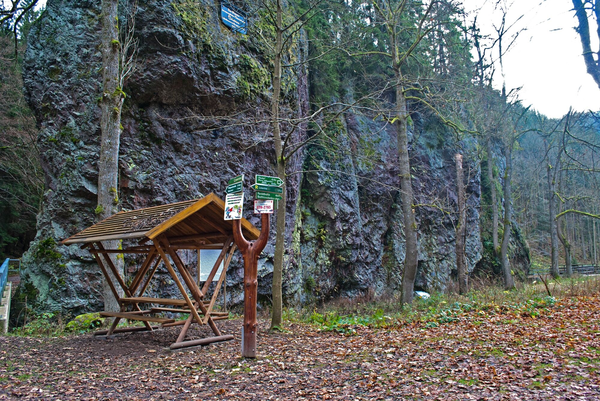
Then you continue on the circular hiking trail around the Ohratal dam. There are numerous viewpoints on the banks overlooking the stunningly beautiful landscape. The 260-metre-long and 60-metre-high dam wall is accessible and has a special charm, if only because of its size. From here, the view over the Ohratal valley or the water level of the dam surrounded by forests is particularly impressive. The reservoir holds around 18 million cubic metres of water, making a significant contribution to stabilizing the drinking water supply for the whole of Central Thuringia. More detailed information on the subject can be found on the information boards in the refuge located slightly above the dam wall.
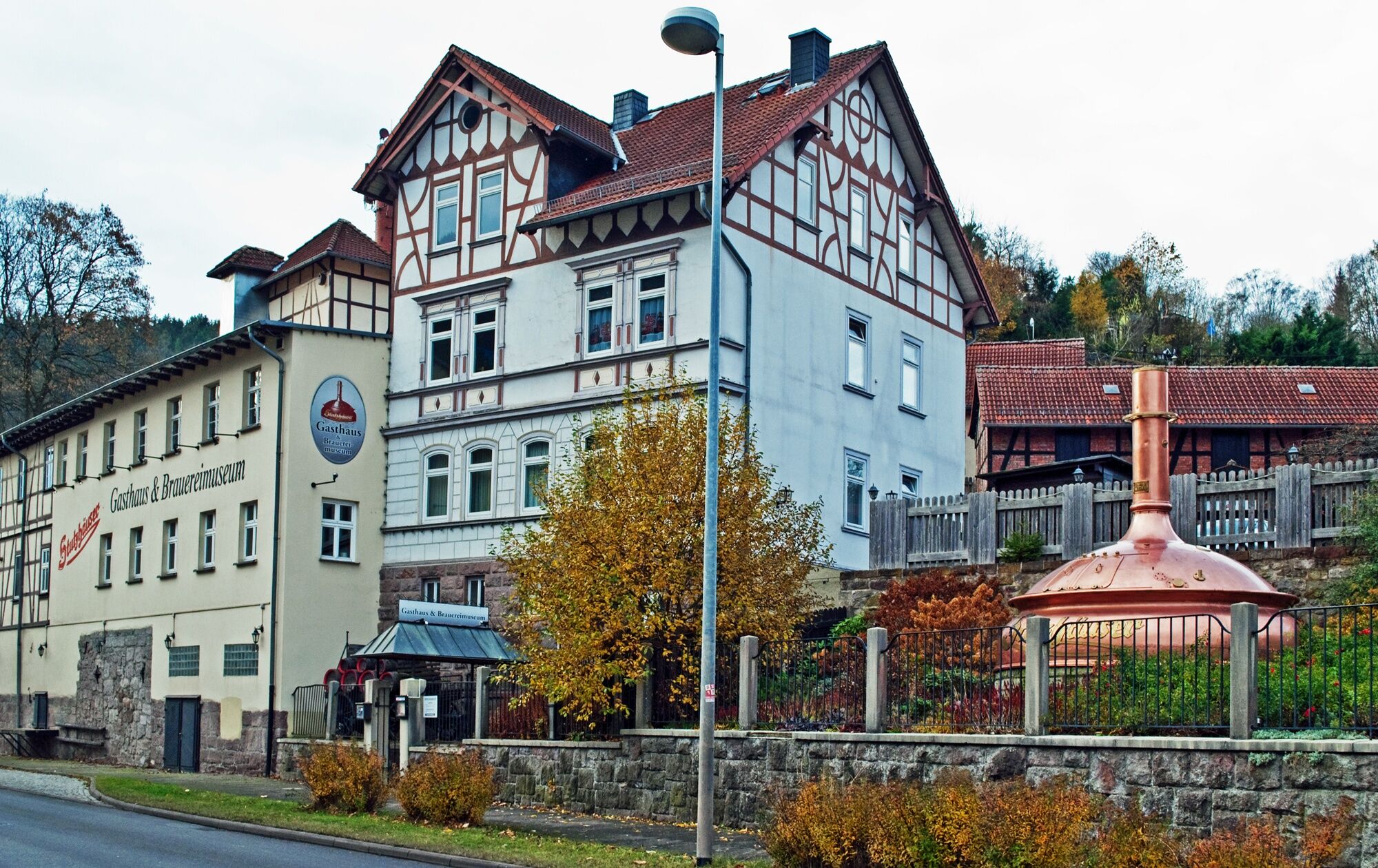
A short detour to the Käfernburg castle ruins is also worthwhile - from there you also have a wonderful view of the Ohratal valley. Beer lovers should definitely visit the brewery museum in the Stutzhäuser Gasthaus in Luisenthal. The "liquid gold" was already being brewed here in the 19th century. The brewing kettle, fermenting pan and malt mill have been lovingly restored. There are also plenty of historic brewing tools on display. During the entertaining guided tours, you can even complete a beer connoisseur diploma...

Luisenthal parking lot - Damm - Triefstein - Eimersbach - Oberhof
Áno
The hiking trail requires sturdy footwear. You walk partly on narrow paths. Avoid walking on moss-covered stones and rocks due to the risk of slipping and watch out for dead wood, branches and fallen trees.
Be aware of the typical dangers of the forest!
Walk at your own risk!
Coming from the A71, take exit 17 Gräfenroda onto the B88 towards Gräfenroda and continue via Frankenhain, Crawinkel to Ordruf. In Ordruf turn left from the L3247 towards Luisenthal
To plan your journey, please use the Deutsche Bahn travel portal at the following link: → Travel to Luisenthal
to Gotha station, from there take the 860 bus to Luisenthal
Hikers' parking lot Ohratalsperre Luisenthal (Google-NAV-Point)
T1
Ohratal Dam
Luisenthal Brewery Museum
Obľúbené výlety v okolí
-
4,1
Rund um die Ohratalsperre
svetloTuristika 14,5 km -
3,8
Wanderung zum Spitterfall
strednáTuristika 14,6 km -
5,0
Circular route - Ohratalsperre - Luisenthal - Thuringian Forest
svetloTuristika 14,3 km -
4,0
Circular hiking route "Oberschönauer Felsenwanderung" - Steinbach-Hallenberg - Thuringian Forest
ťažkéTuristika 12,0 km -
5,0
Hiking - Summit hiking trail - Suhl-Goldlauter - Thuringian Forest
ťažkéTuristika 32,1 km -
Rundwanderung Ohratalsperre
strednáTuristika 14,6 km -
4,5
Hike over the Rennsteig & the Schneekopf to the Schmücke
ťažkéTuristika 20,9 km -
Ohra Talsperre
svetloTuristika 16,8 km -
5,0
Circular Hiking Route - Lütsche-Flößgraben - Thuringian Forest
strednáTuristika 13,8 km -
Circular hike to Bärenstein & Pfanntalsteich
strednáTuristika 9,10 km
Turistika a stopovanie


Nenechajte si ujsť ponuky a inšpiráciu na ďalšiu dovolenku
Vaša e-mailová adresa bol pridaný do poštového zoznamu.