


GardaTrek - TopLoop 2: descent to Lake Tenno (Alternative route)
Úroveň náročnosti: T3


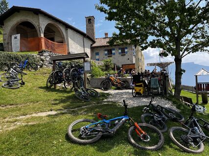
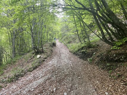
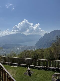
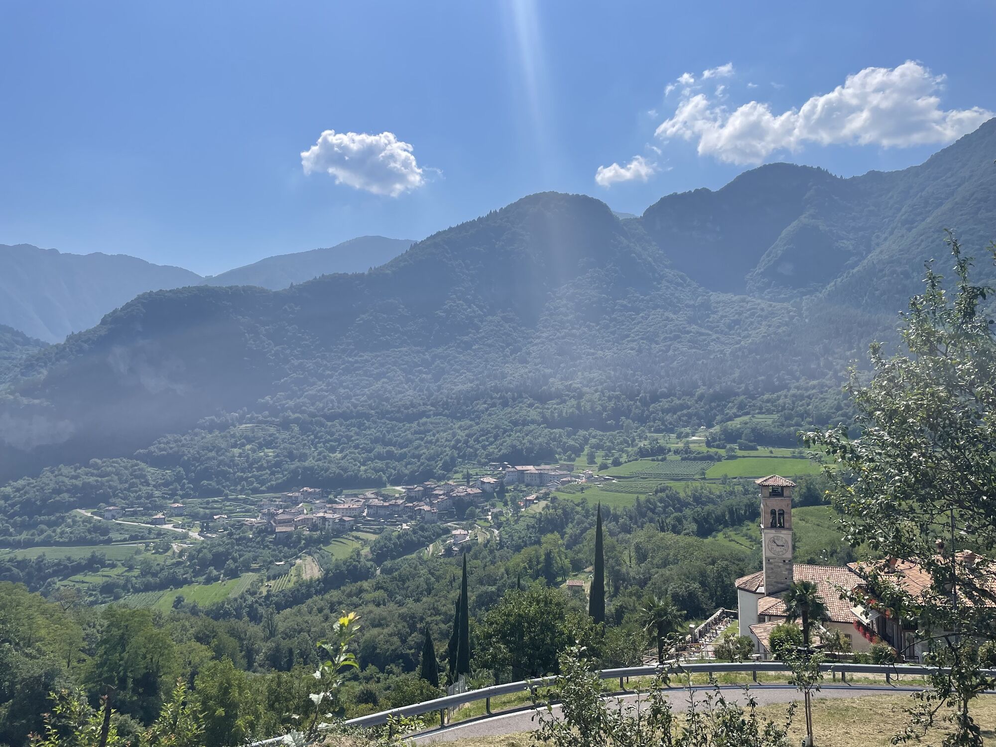
Fotografie našich používateľov
-
 © Yannick SchmidlVytvorené dňa 15.08.2023
 -
 © Sergio RasoreVytvorené dňa 04.09.2025
 -
 © Sergio RasoreVytvorené dňa 04.09.2025
 -
 © Stefano “Iddo”Vytvorené dňa 06.06.2024
 -
 © Stefano “Iddo”Vytvorené dňa 06.06.2024
 -
 © Stefano “Iddo”Vytvorené dňa 06.06.2024
 -

 © Silvia bertonVytvorené dňa 05.10.2025
 -

 © Heinz SperlVytvorené dňa 21.06.2025
 -
 © Stefano “Iddo”Vytvorené dňa 15.05.2025
 -
 © pinzgauer63Vytvorené dňa 30.04.2025


From Rifugio Pernici reach Bocca di Trat and and then take the SAT 402 path that leads to Malga Grassi and Campi, and then rejoin the Garda Trek Medium Loop path, going to Pranzo and then to Tenno.
In...
From Rifugio Pernici reach Bocca di Trat and and then take the SAT 402 path that leads to Malga Grassi and Campi, and then rejoin the Garda Trek Medium Loop path, going to Pranzo and then to Tenno.
In Canale, recognized as one of the most beautiful villages in Italy, you continue along the official path of Garda Trek Top Loop to Rifugio San Pietro.
Warning! Since this is an extraordinary situation, the signposting has not been changed. Then keep the instructions published on this page at hand.


From the Nino Pernici mountain hut, follow the SAT 402 path downhill towards Malga Grassi / Campi. Cross the village of Campi, following the Strada della Luna on the left as far as Località Zumiani. From there, continue on the Medium Loop descending towards Pranzo, a small fraction of Tenno.
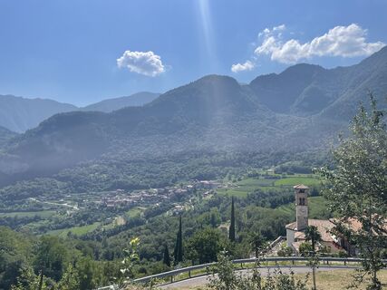
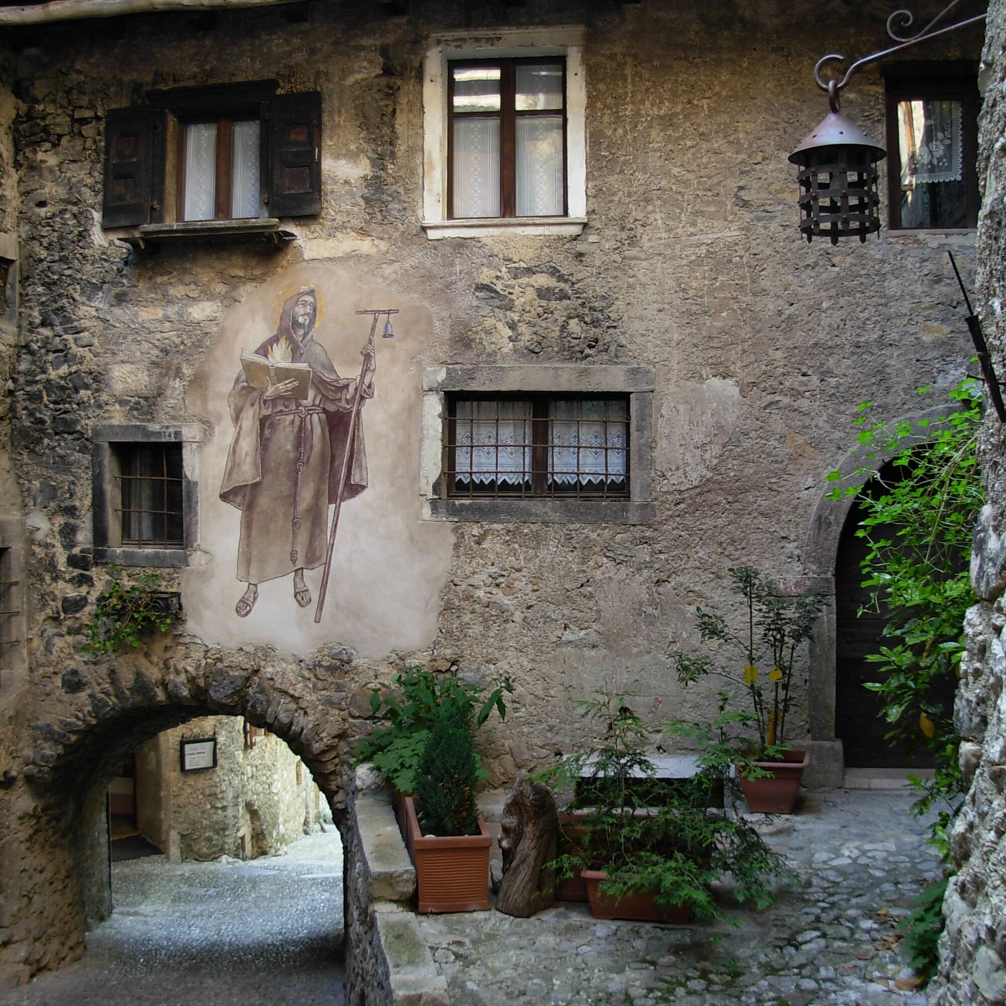
After crossing the village, pass the narrow valley of the Magnone stream and reach Ville del Monte. In a few minutes you then arrive at Canale di Tenno, one of the Most Beautiful Villages in Italy.
Here we link back to the original Top Loop route that leads to the San Pietro refuge along the SAT 406 path. Those who want to lengthen the route can continue to follow the Medium Loop, moving first to Lake Tenno and then to the San Pietro refuge SAT path 406A.
You need to wear the right clothing and take the proper gear when you go hiking in the mountains. Even on relatively short easy outings make sure to take all you need so you don't run into trouble if things take an unexpected turn, for example a storm blows up or you have a sudden drop in energy levels.
What should you take when you go on a hike?
Your rucksack (for a day trip a 25/30L capacity should do) should contain:
water canteen (1L) snacks (e.g. mixed dried fruit or chocolate) First aid kit windproof jacket fleece change of t-shirt and socks (in a plastic bag) make sure to wear or at least bring a pair of long trousers hat sun screen sunglasses gloves whistle to attract attention in an emergency
Make sure you're wearing the right footwear for the trail and season. The going can get rough and rocky underfoot and a pair of hiking boots will protect you from sprains. When wet, a grassy slope, rocky slab or steep trail can be dangerous unless you are wearing the proper footwear.
And finally... don't forget to bring your camera! You'll need it to capture the stunning views you come across all over Garda Trentino. And if you like, you can share your memories with us at #GardaTrentino.
Emergency telephone number 112.
Safety Tips
Choose itineraries that suit your physical and technical abilities. Collect information about the area you are visiting and the trail’s conditions and get a detailed trekking map. Wear clothes and take equipment that suit the difficulty and length of your tour. Keep emergency gear in your rucksack, including first aid supplies. Do not go walking alone in the mountains. In any case, tell someone where you are going and report back on returning. Look at the weather forecast before setting off and always keep an eye on the weather. In case of doubt, go back. It is better to give up than risk bad weather or face difficulties beyond your strength, ability and equipment. Do not leave marked paths and do not take shortcuts. All described walks are in a natural environment and therefore their use is at your own risk.
This information is subject to inevitable variations, so none of these indications are absolute. It is not entirely possible to avoid giving inexact or imprecise information, given how quickly environmental and weather conditions can change. For this reason, we decline any responsibility for changes which the user may encounter. In any case, it is advisable to check environment and weather conditions before setting out.
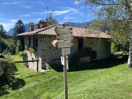
How to get to Rifugio Nino Pernici:
from Lenzumo at 796 m a.s.l. in Val Concei, by road for 7 km as far as the Trat pasture 1556 m, trail number 403, then along the trail for 20 minutes; on foot 2 h 15; from Riva del Garda 73 m, trail number 402, passing through Santa Maria Maddalena 252 m, San Giovanni 440 m, Pinza, Campi 672 m, Rifugio Grass hut 1055 m, Dosso dei Fiori pasture 1355 m, Bocca di Trat 1581 m - 4h 15min (1h 30min from Grassi hut, which you can reach by 14 km of road)
Find out how to reach Garda Trentino.
No public transport available for this tour.
The nearest available car park is located near Malga Grassi in Località San Martino.
T3
You’ve picked the perfect trail – now make sure you’re ready to enjoy it to the fullest. Local hiking specialists are here to help: guides, shops and experts with the tips and support you need for every step of the way.
In summer you should stop off at Lake Tenno. Take time out for a refreshing swim in the famous turquoise waters of the lake!
Webové kamery z prehliadky
Obľúbené výlety v okolí
-
4,8
Bocca Fortini - Tour
ťažkéMountainbike 35,4 km -
4,8
Via Ferrata Rio Sallagoni
strednáVia ferrata 2,75 km -
4,2
Tremalzo Big - Tour
ťažkéMountainbike 45,6 km -
4,6
Walking around Lake Ledro
svetloTuristika 9,40 km -
4,7
Via Ferrata Fausto Susatti - Cima Capi (from Ledro)
strednáVia ferrata 7,11 km -
4,7
Tremalzo Garda XXL - Tour
ťažkéMountainbike 66,6 km -
4,7
Via Ferrata delle Laste e Gallerie di Cima Rocca
svetloVia ferrata 6,38 km -
5,0
Via Ferrata Signora delle Acque - Rio Ruzza
ťažkéVia ferrata 5,32 km -
4,7
Sentiero Busatte Tempesta
svetloTuristika 7,90 km -
5,0
Bastione and Santa Barbara, the lords of Riva del Garda
strednáTuristika 2,94 km
Turistika a stopovanie


Nenechajte si ujsť ponuky a inšpiráciu na ďalšiu dovolenku
Vaša e-mailová adresa bol pridaný do poštového zoznamu.