


From Kristberg to Muttjöchle and back


Fotografie našich používateľov
-

 © GridlokkVytvorené dňa 02.01.2021
 -
 © GridlokkVytvorené dňa 02.01.2021
 -
 © GridlokkVytvorené dňa 02.01.2021
 -
 © GridlokkVytvorené dňa 02.01.2021
 -
 © GridlokkVytvorené dňa 02.01.2021
 -
 © GridlokkVytvorené dňa 02.01.2021
 -
 © GridlokkVytvorené dňa 02.01.2021
 -
 © GridlokkVytvorené dňa 02.01.2021
 -
 © Peter ElshuberVytvorené dňa 11.01.2025
 -
 © Peter ElshuberVytvorené dňa 11.01.2025
 -
 © Peter ElshuberVytvorené dňa 11.01.2025
 -
 © Franz GraßlVytvorené dňa 08.09.2025
 -

 © Greg+LisaVytvorené dňa 16.05.2025
 -
 © Greg+LisaVytvorené dňa 16.05.2025
 -
 © Greg+LisaVytvorené dňa 16.05.2025
 -
 © Greg+LisaVytvorené dňa 16.05.2025
 -
 © Greg+LisaVytvorené dňa 16.05.2025
 -
 © Greg+LisaVytvorené dňa 16.05.2025
 -
 © Greg+LisaVytvorené dňa 16.05.2025
 -
 © Greg+LisaVytvorené dňa 16.05.2025
 -
 © Greg+LisaVytvorené dňa 16.05.2025
 -
 © Ulrike SeebacherVytvorené dňa 05.03.2025
 -
 © Saida R.Vytvorené dňa 17.10.2024
 -
 © Saida R.Vytvorené dňa 17.10.2024
 -
 © Saida R.Vytvorené dňa 17.10.2024
 -
 © Saida R.Vytvorené dňa 17.10.2024
 -
 © Saida R.Vytvorené dňa 17.10.2024
 -
 © Saida R.Vytvorené dňa 17.10.2024
 -
 © Saida R.Vytvorené dňa 17.10.2024
 -
 © Saida R.Vytvorené dňa 17.10.2024
 -
 © Saida R.Vytvorené dňa 17.10.2024
 -
 © Saida R.Vytvorené dňa 17.10.2024
 -
 © andygrossVytvorené dňa 02.01.2023
 -
 © andygrossVytvorené dňa 02.01.2023
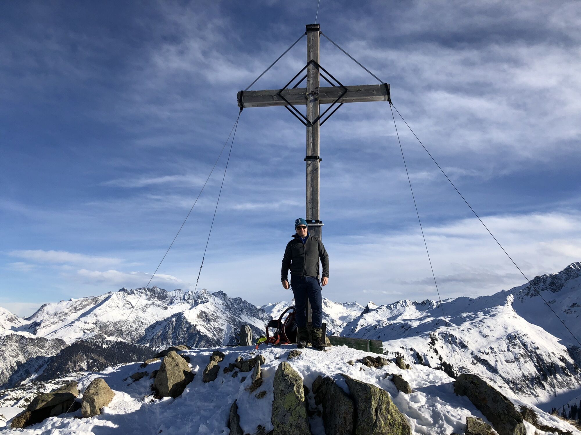

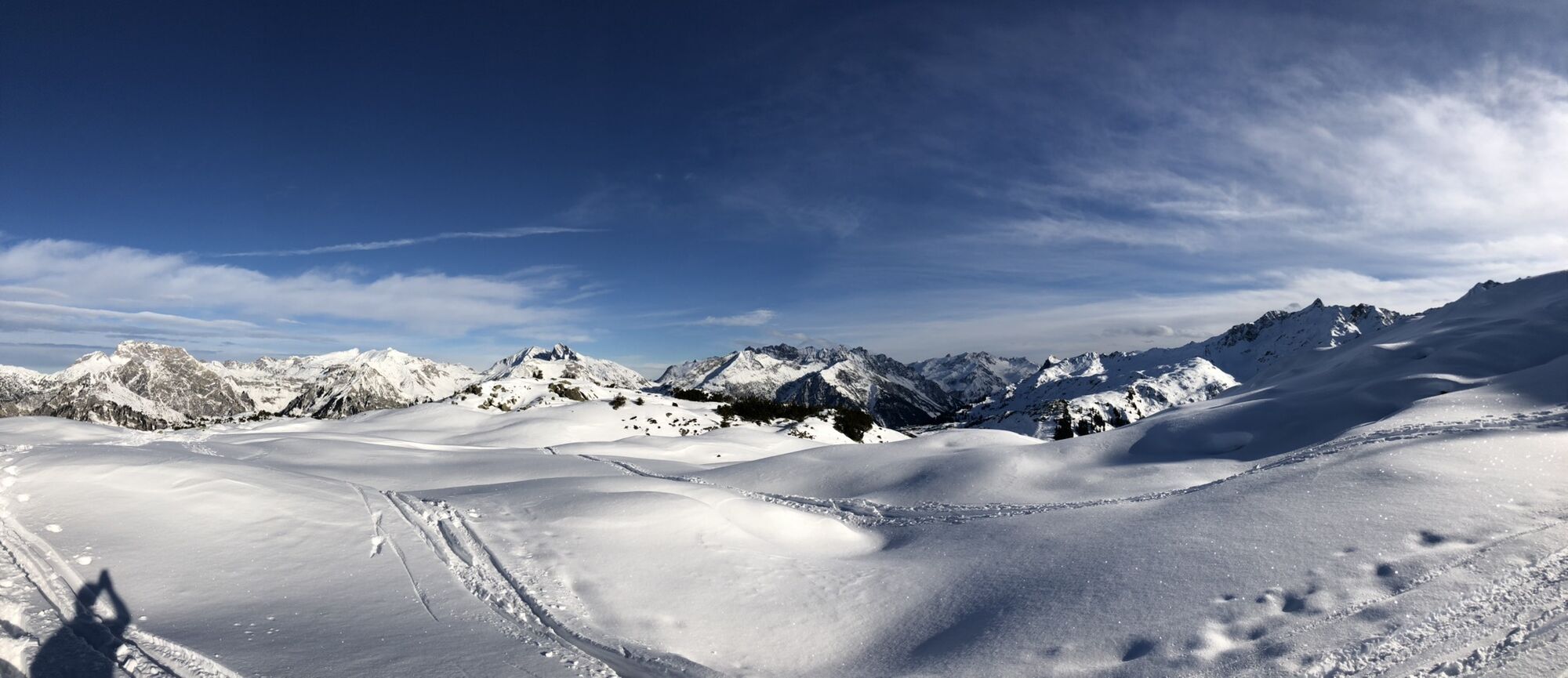
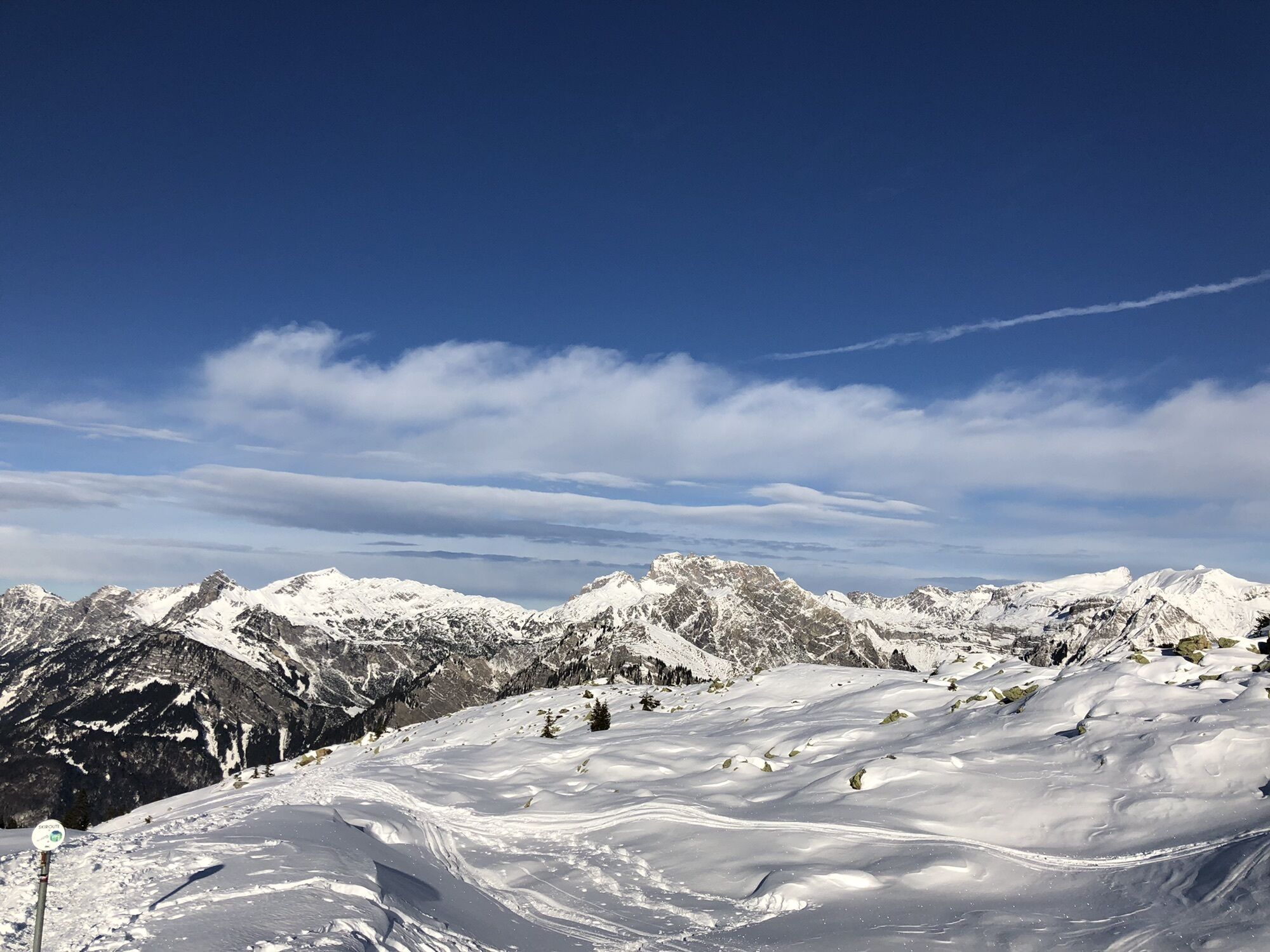
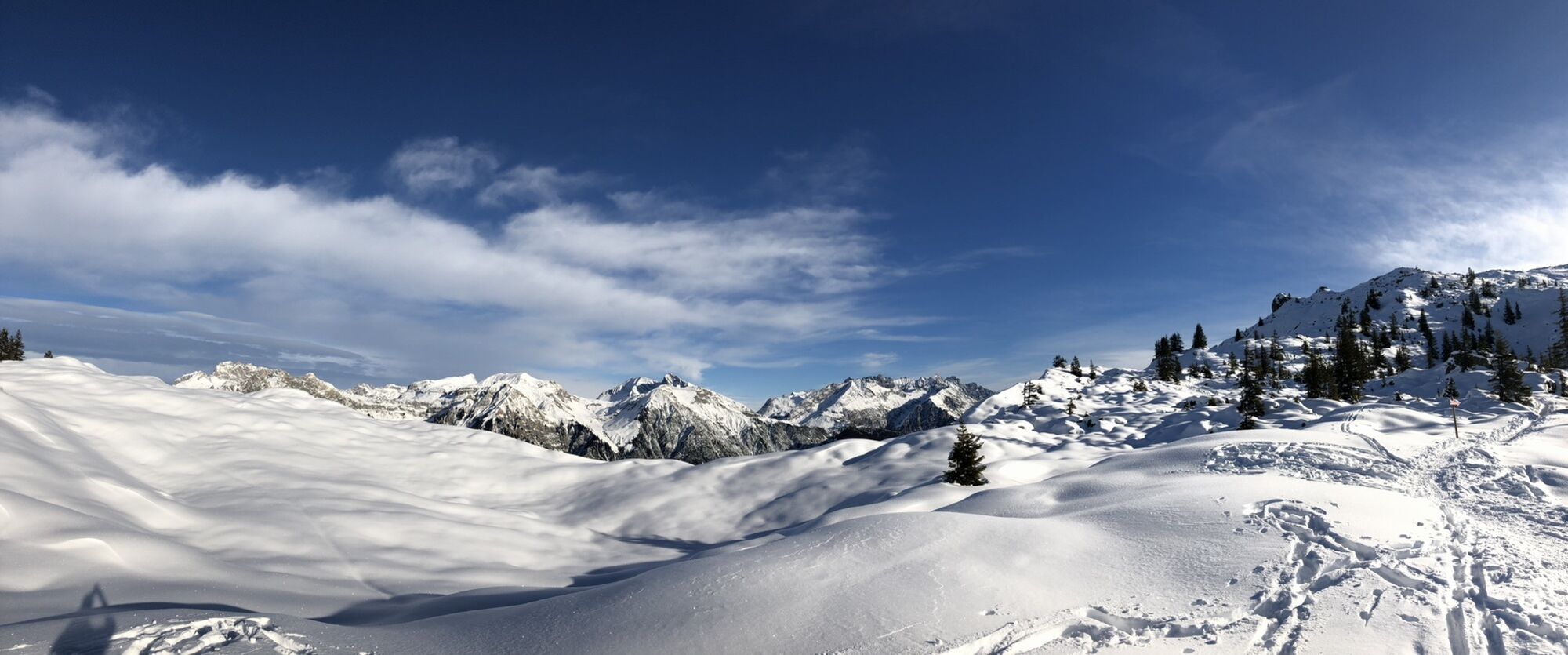

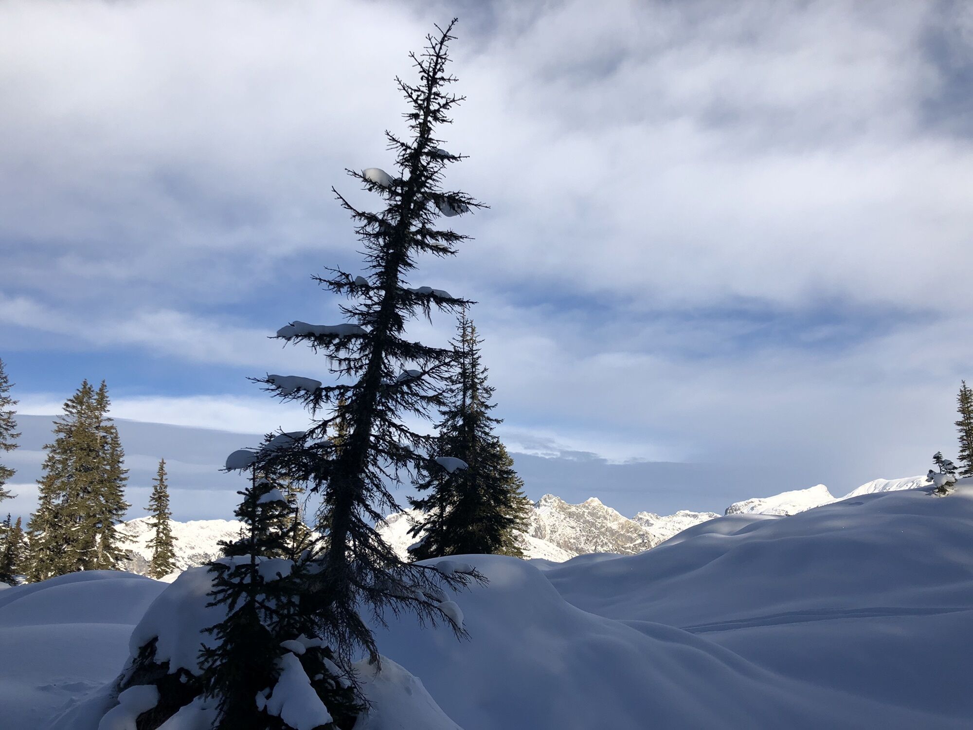

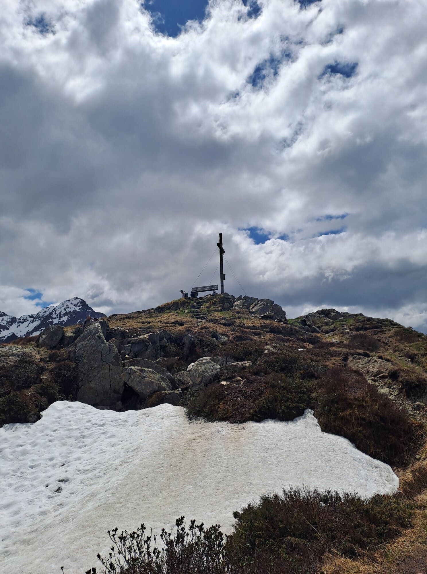
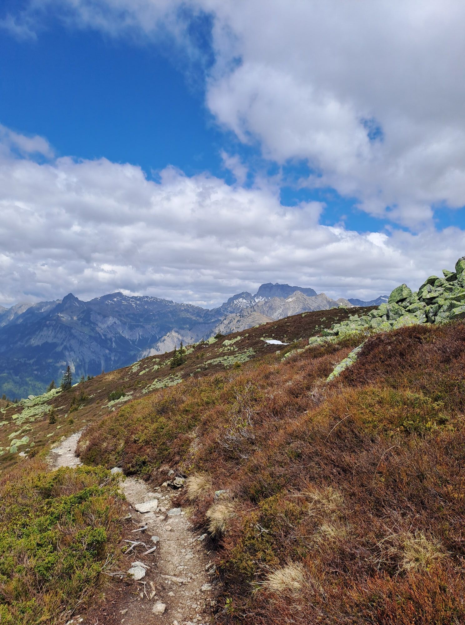


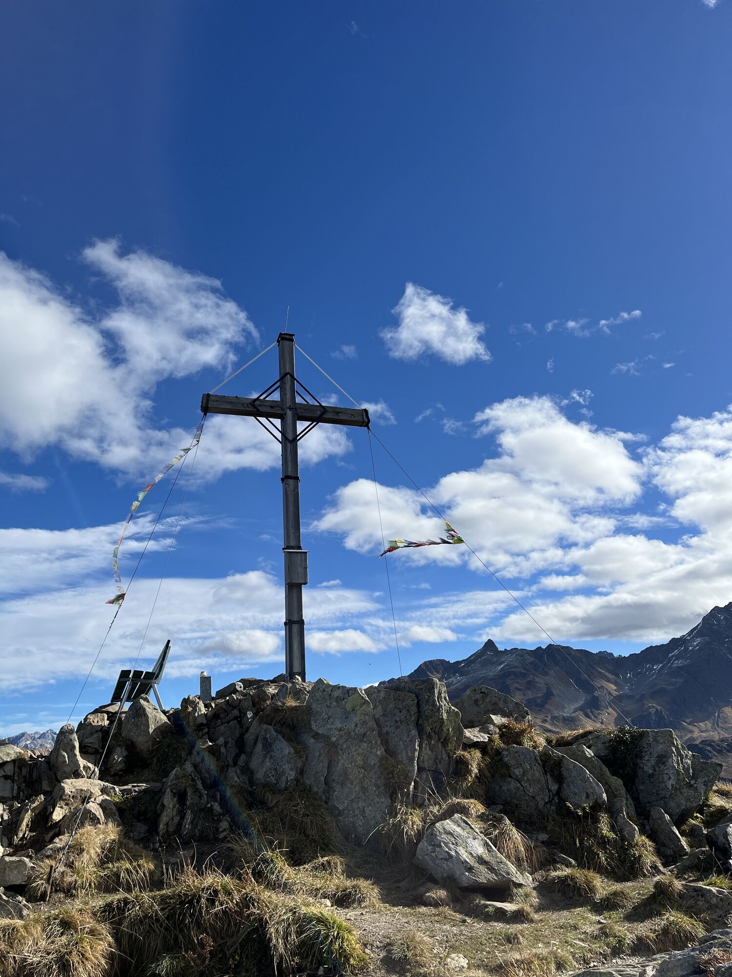

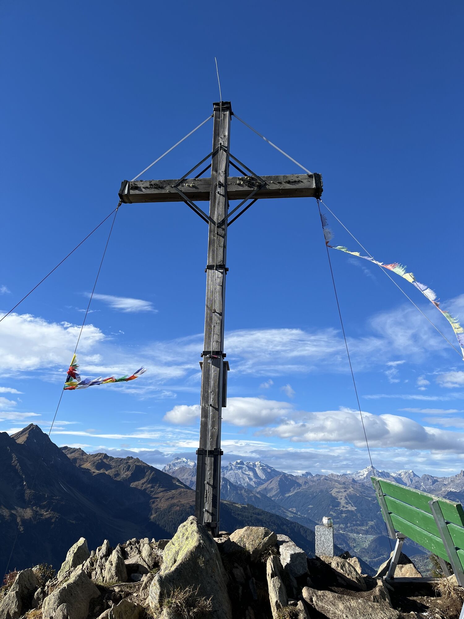
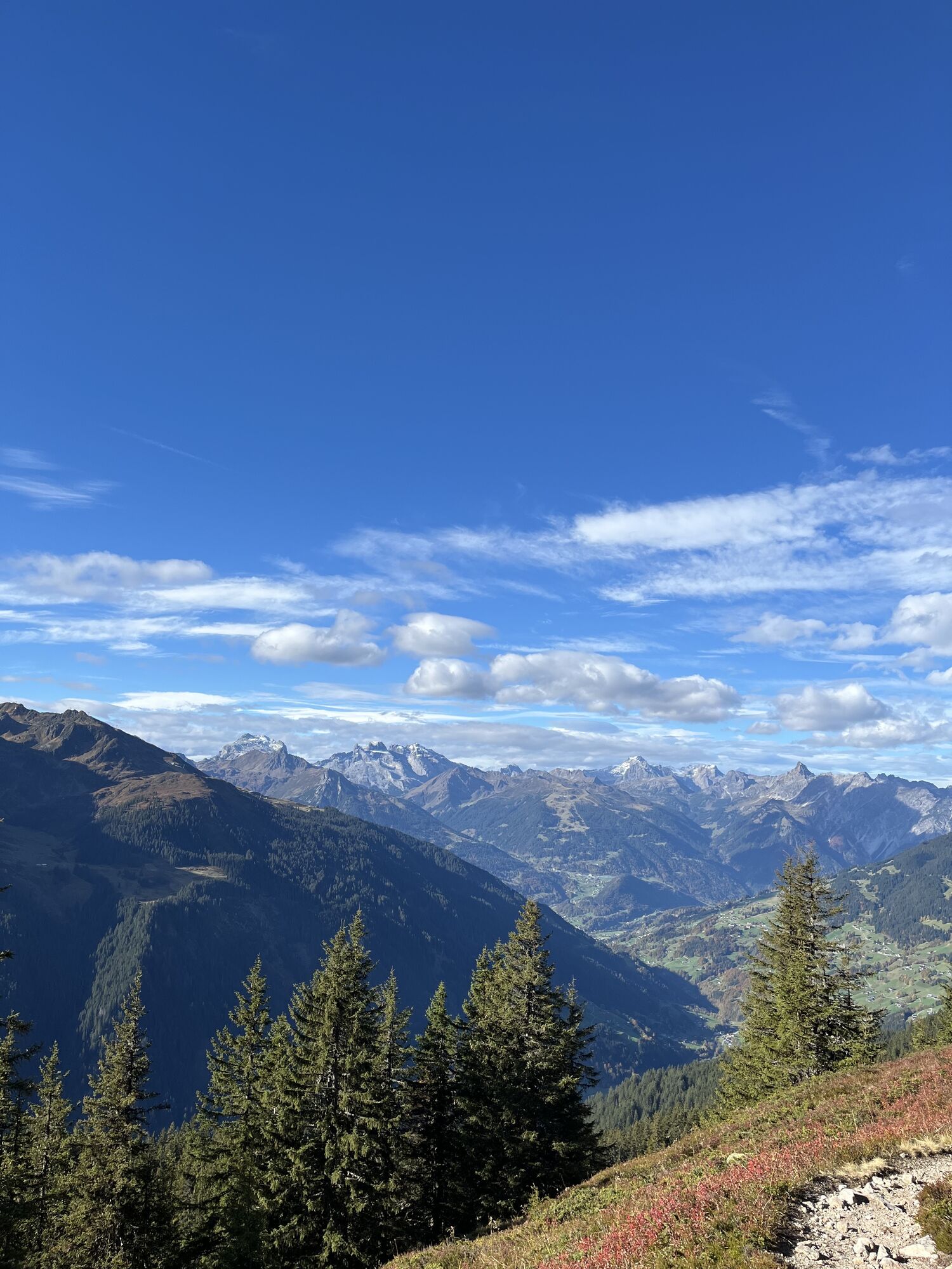
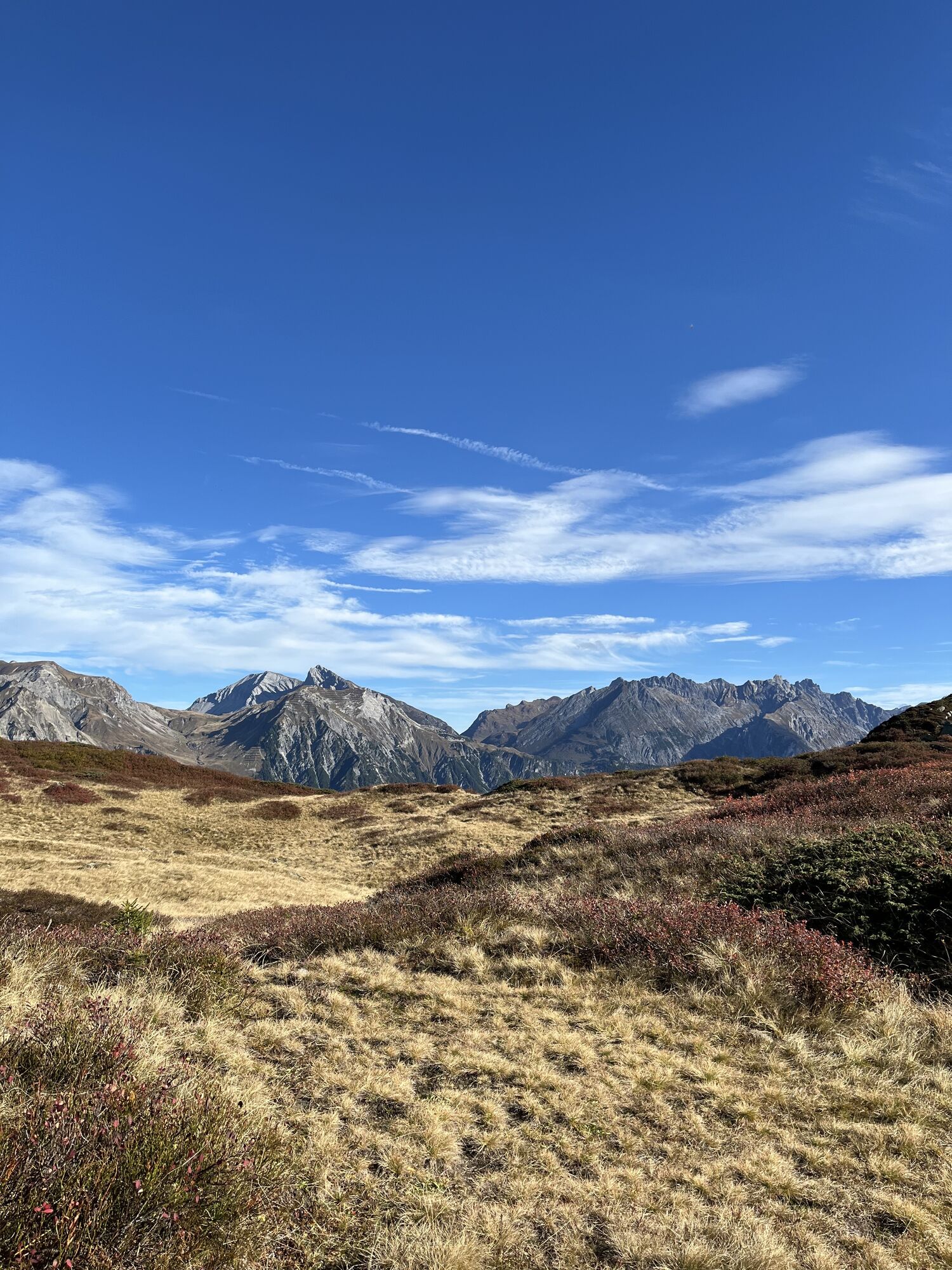

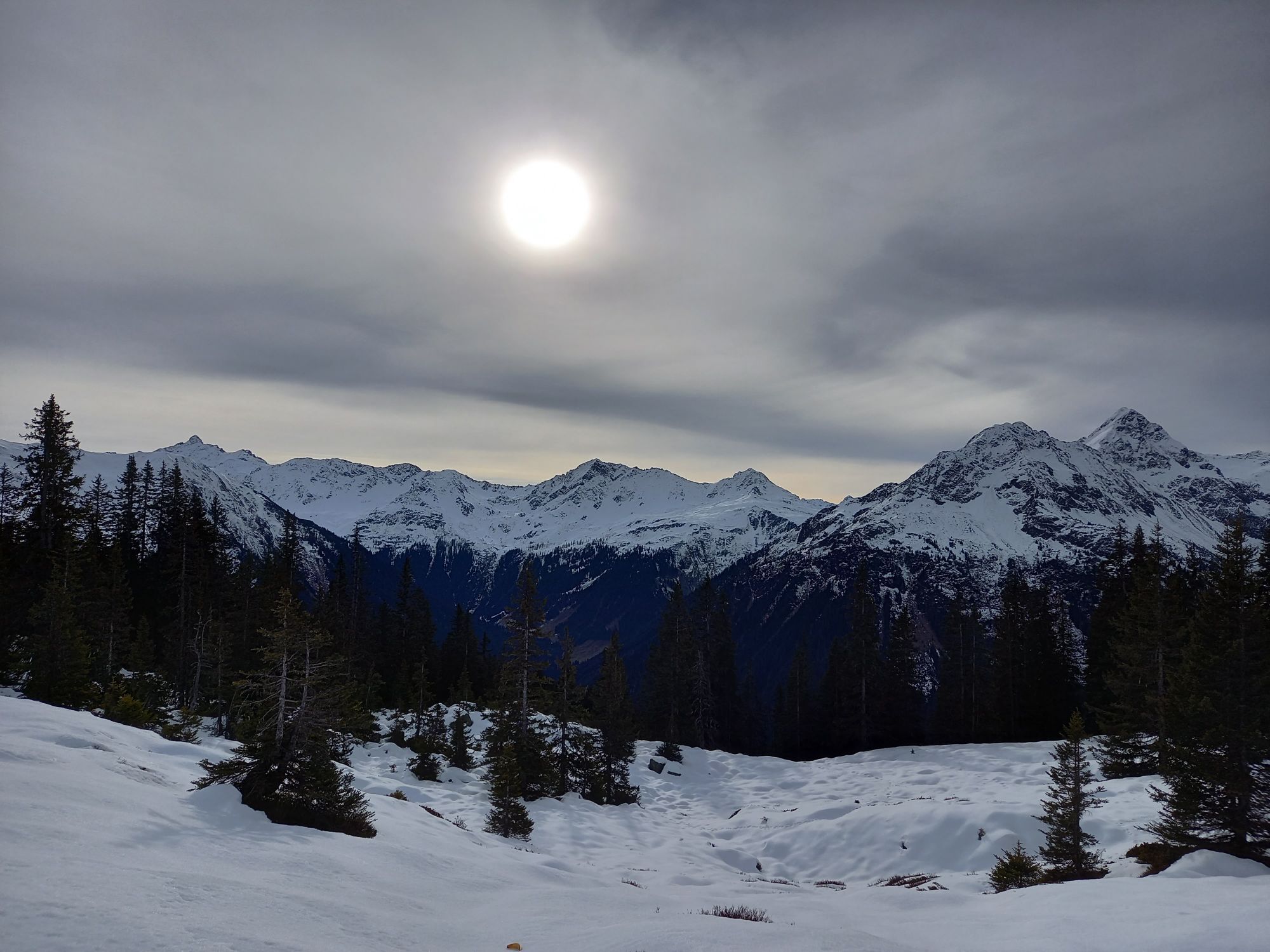
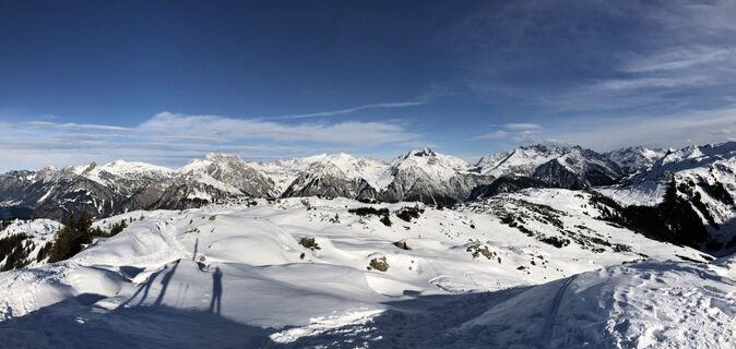
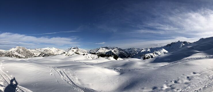
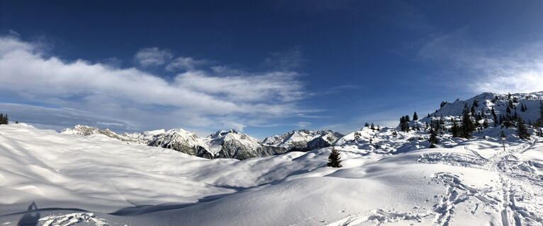
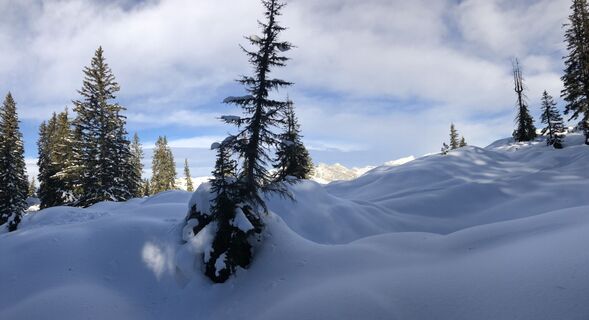
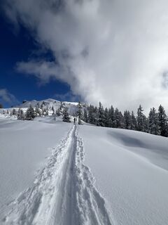
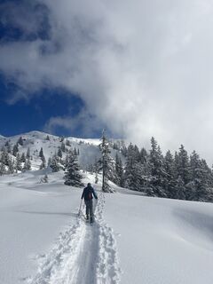
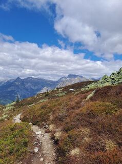
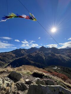
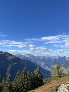
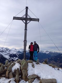
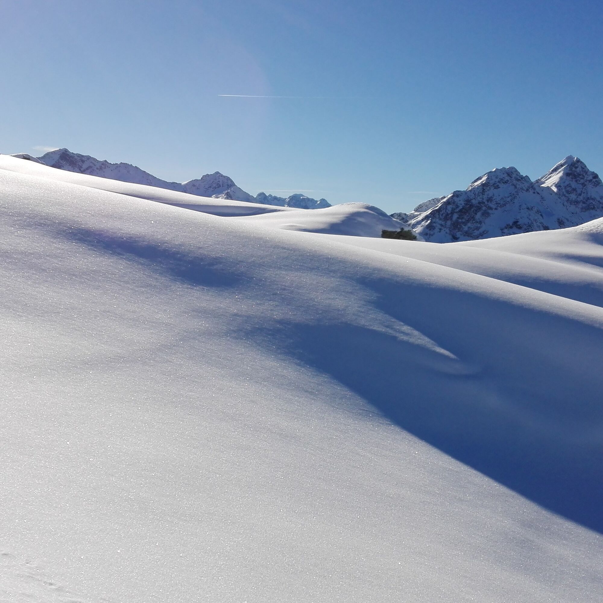
The gigantic view of the Rätikon, Verwall, and Silvretta mountain groups as well as the Lechtal Alps make this route a very special experience.

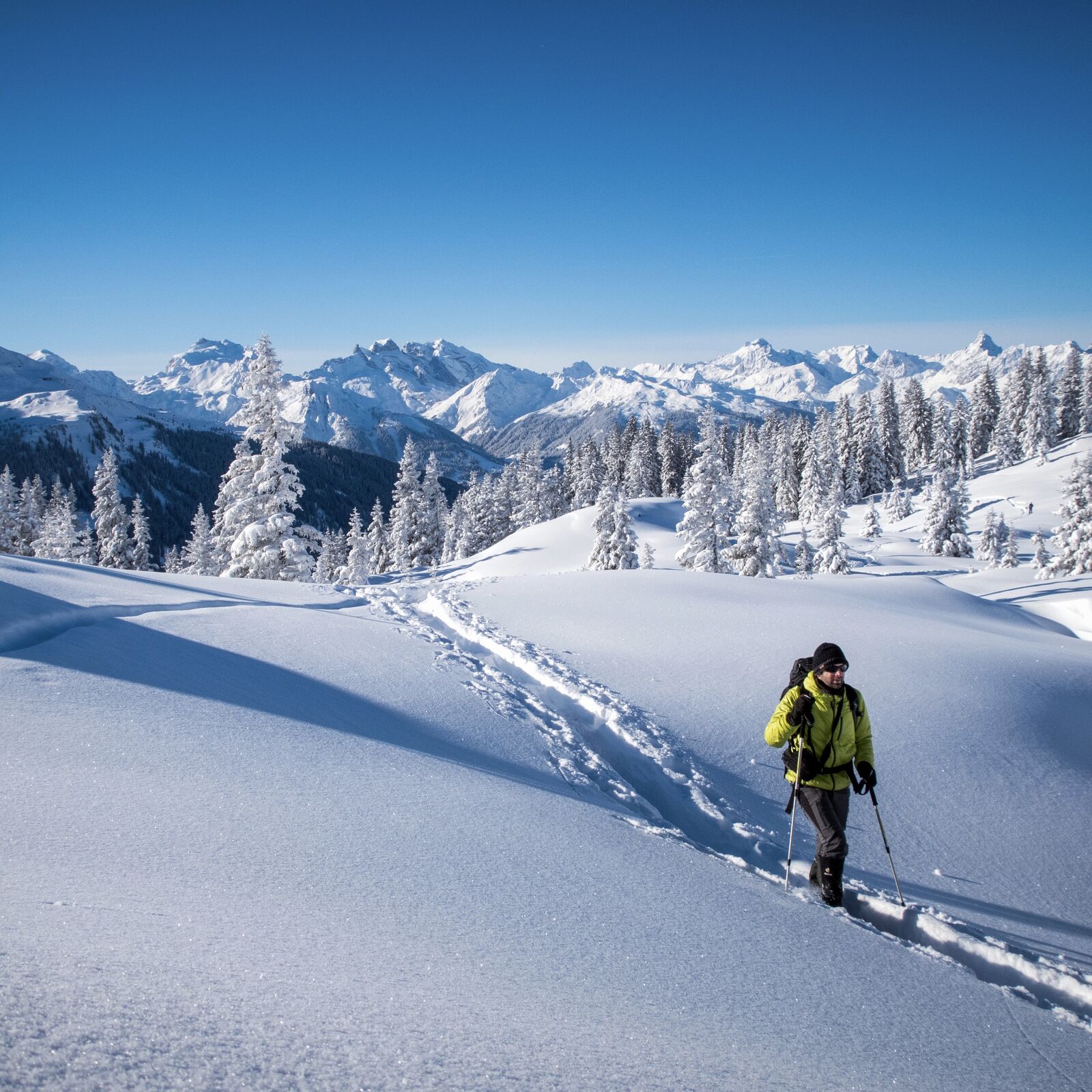
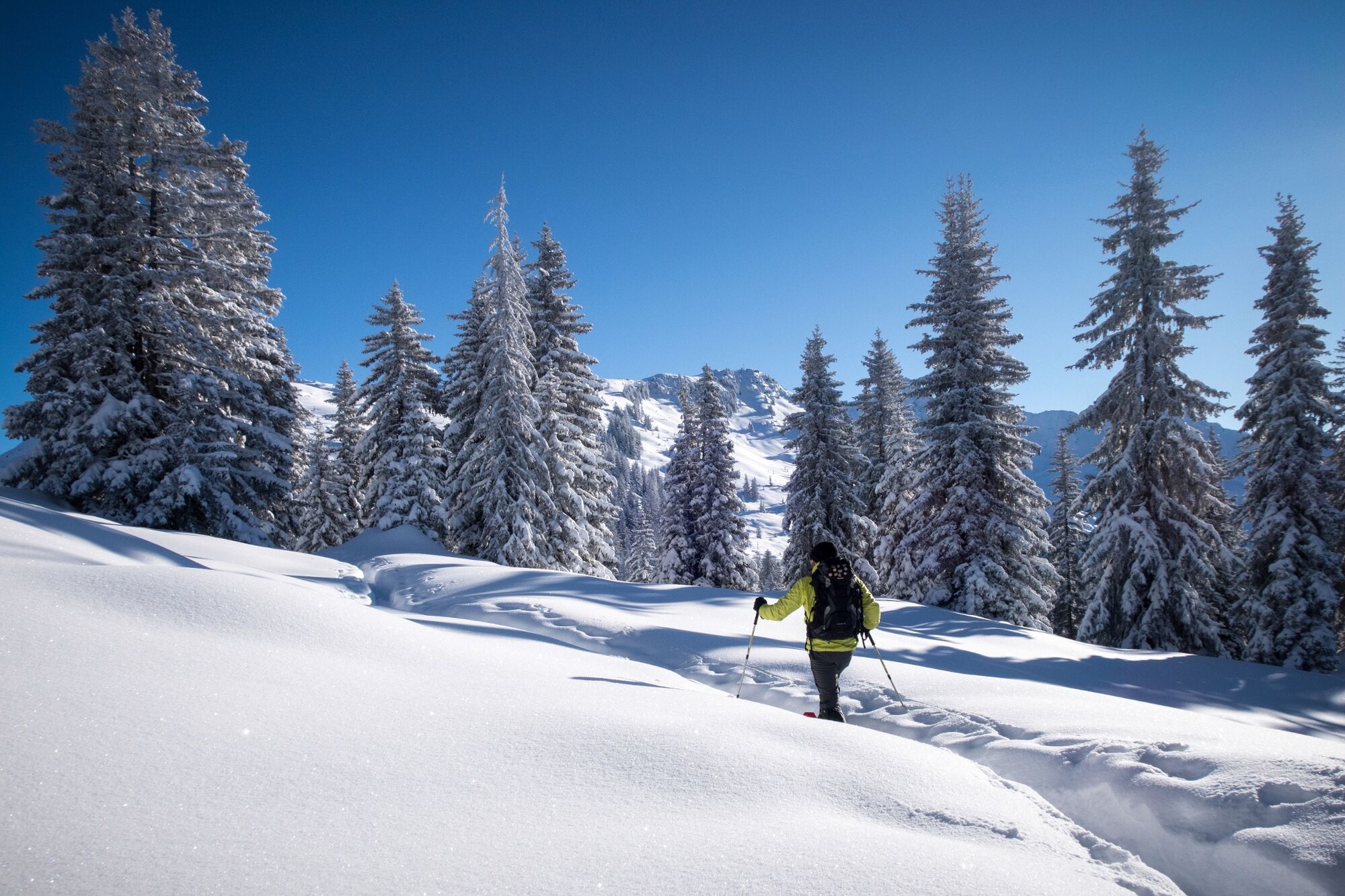
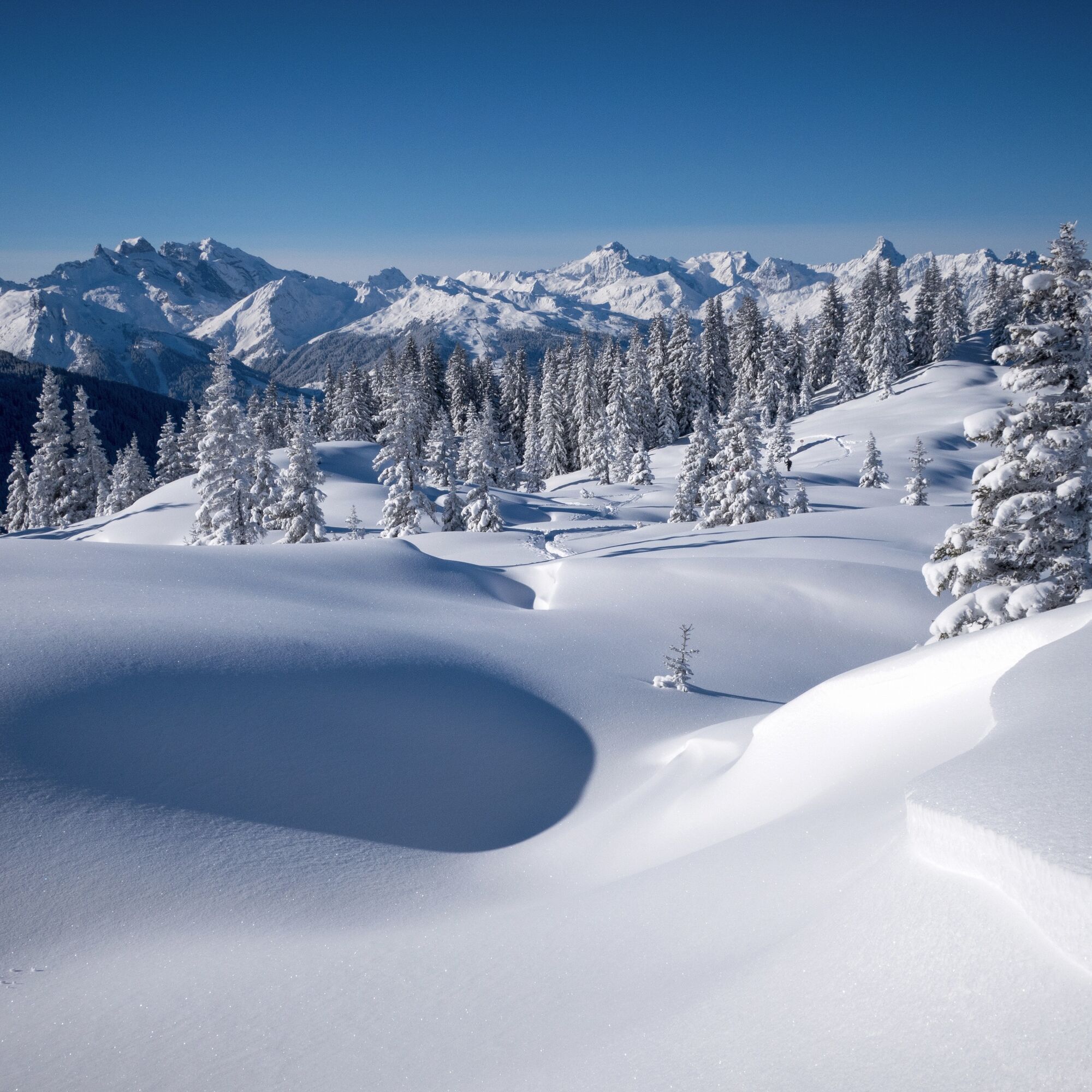
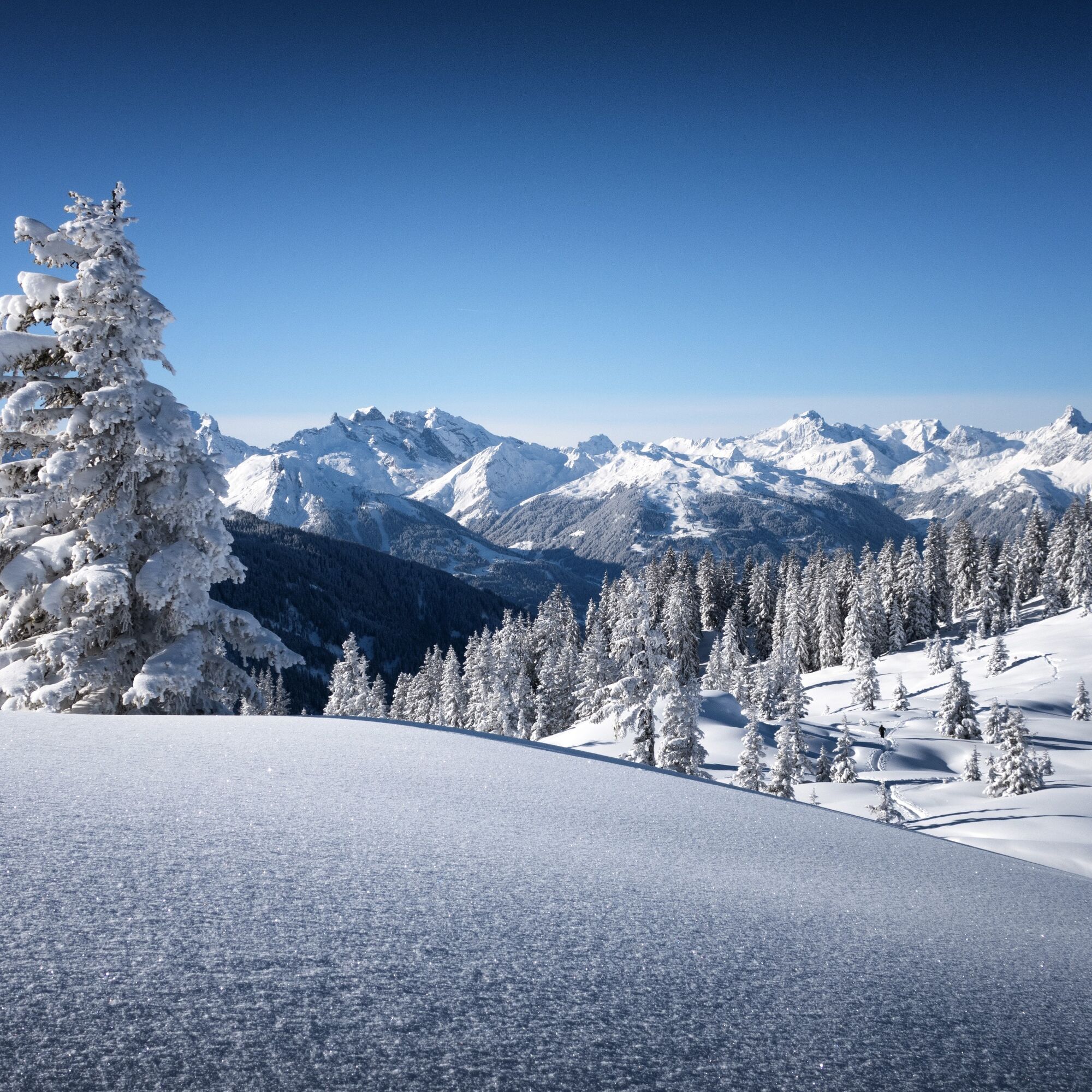
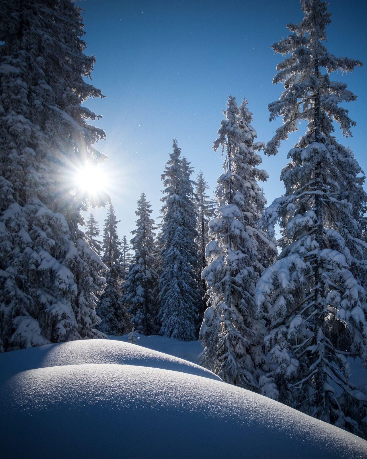
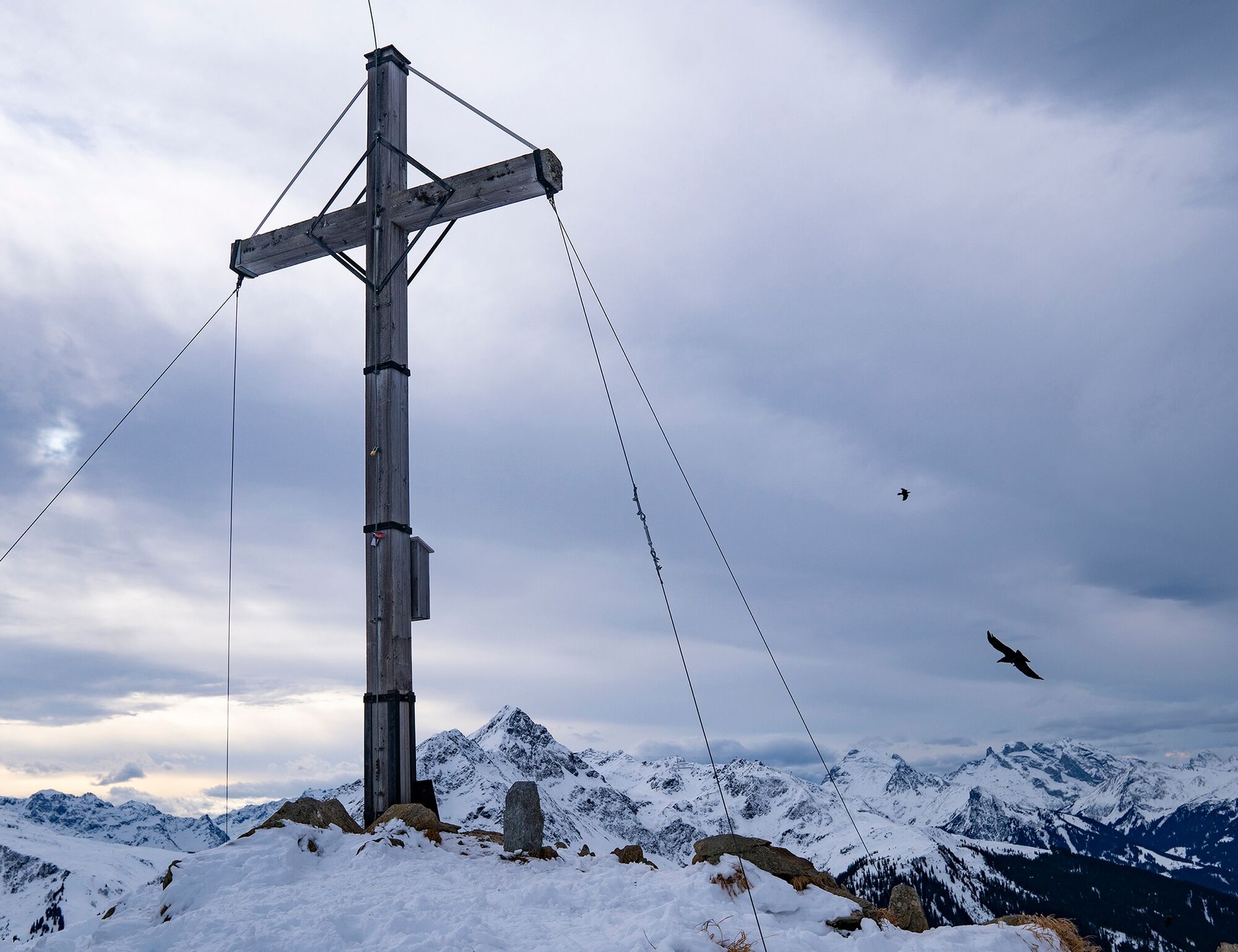
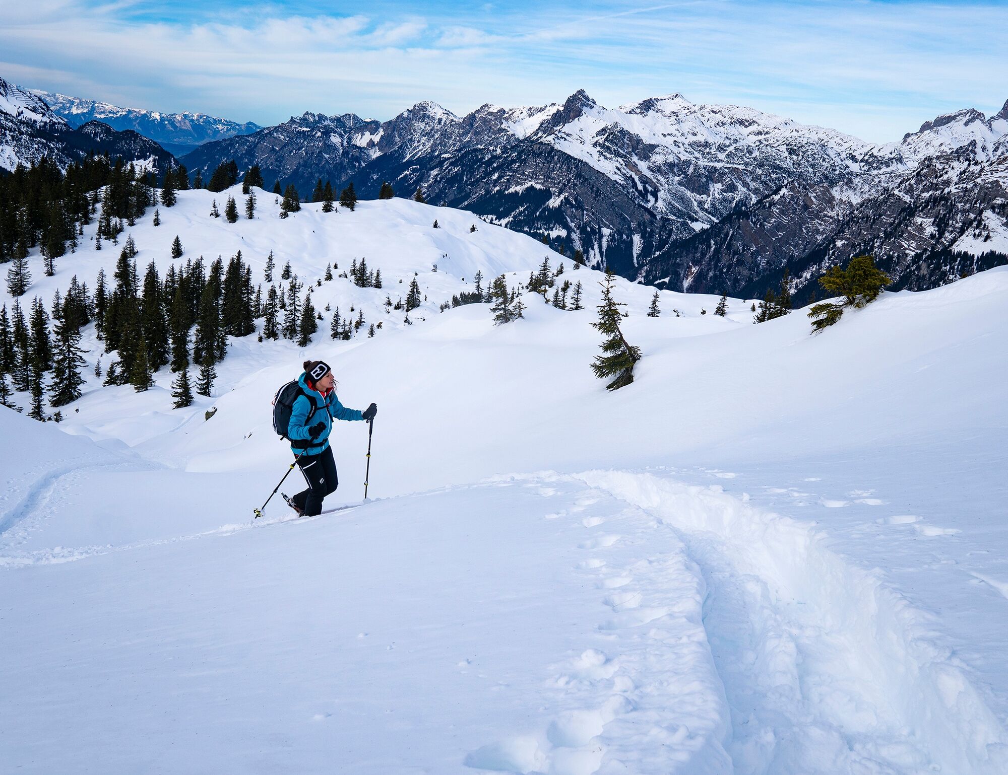
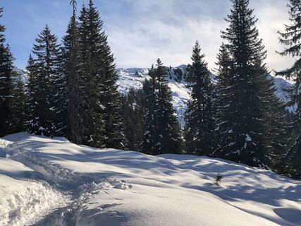
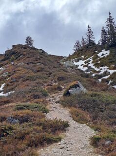
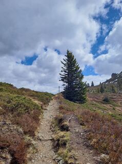
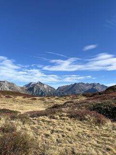
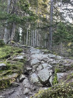
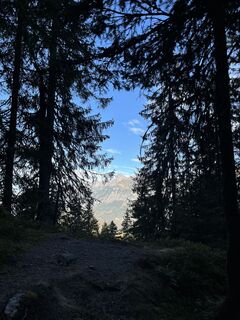
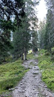
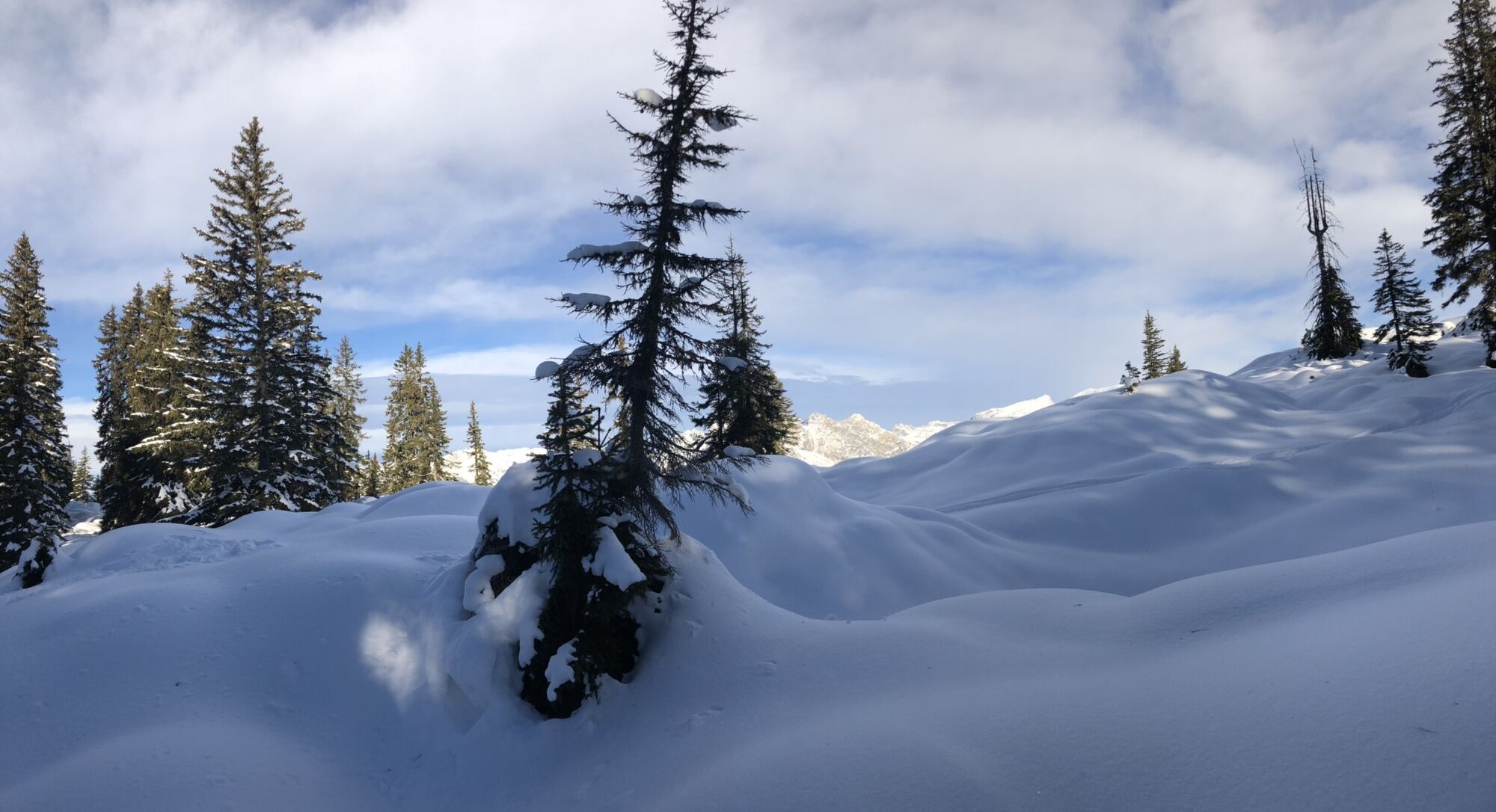
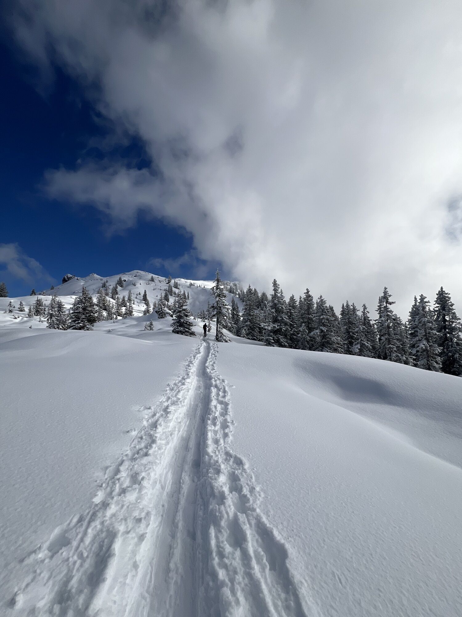
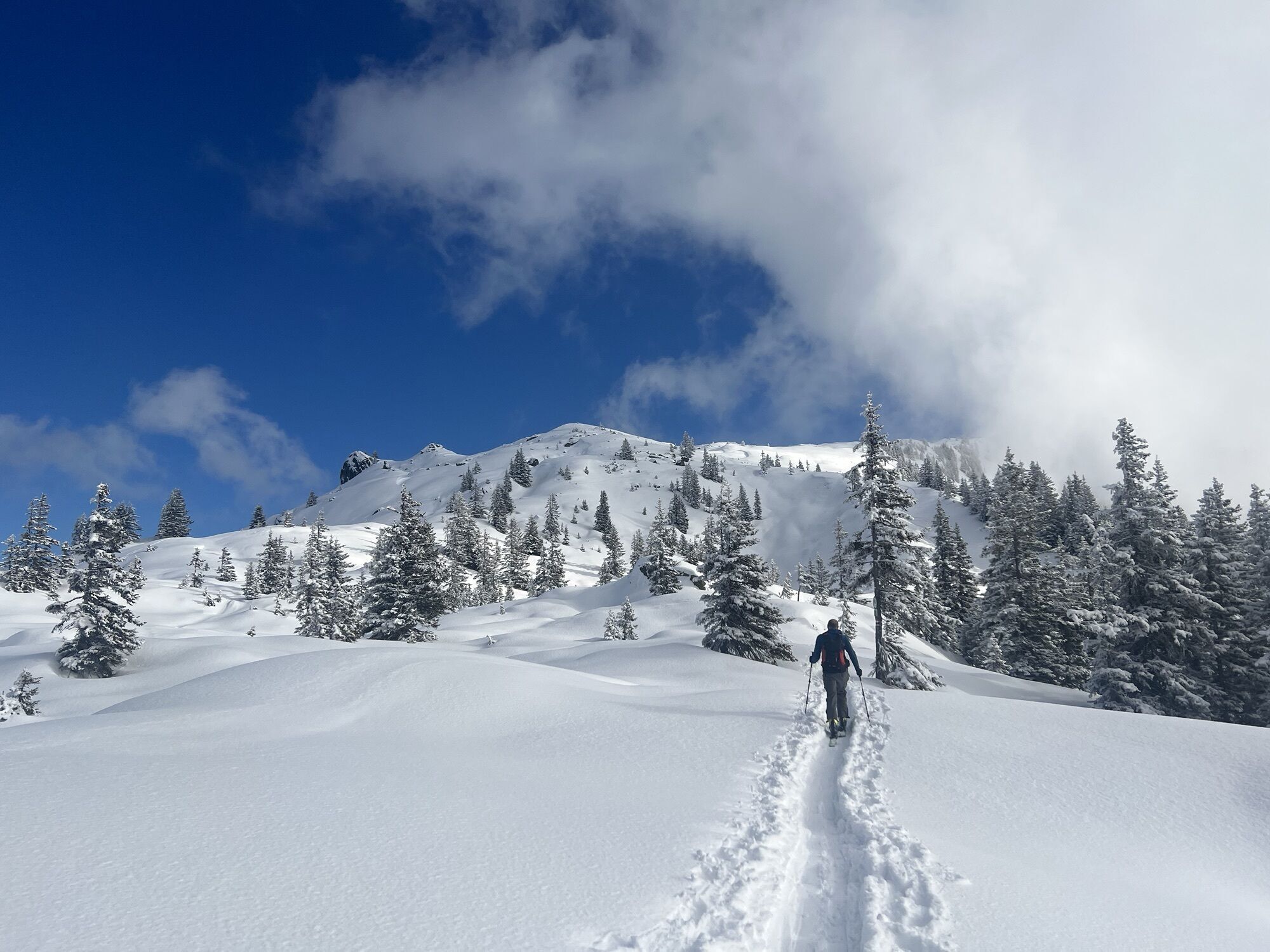
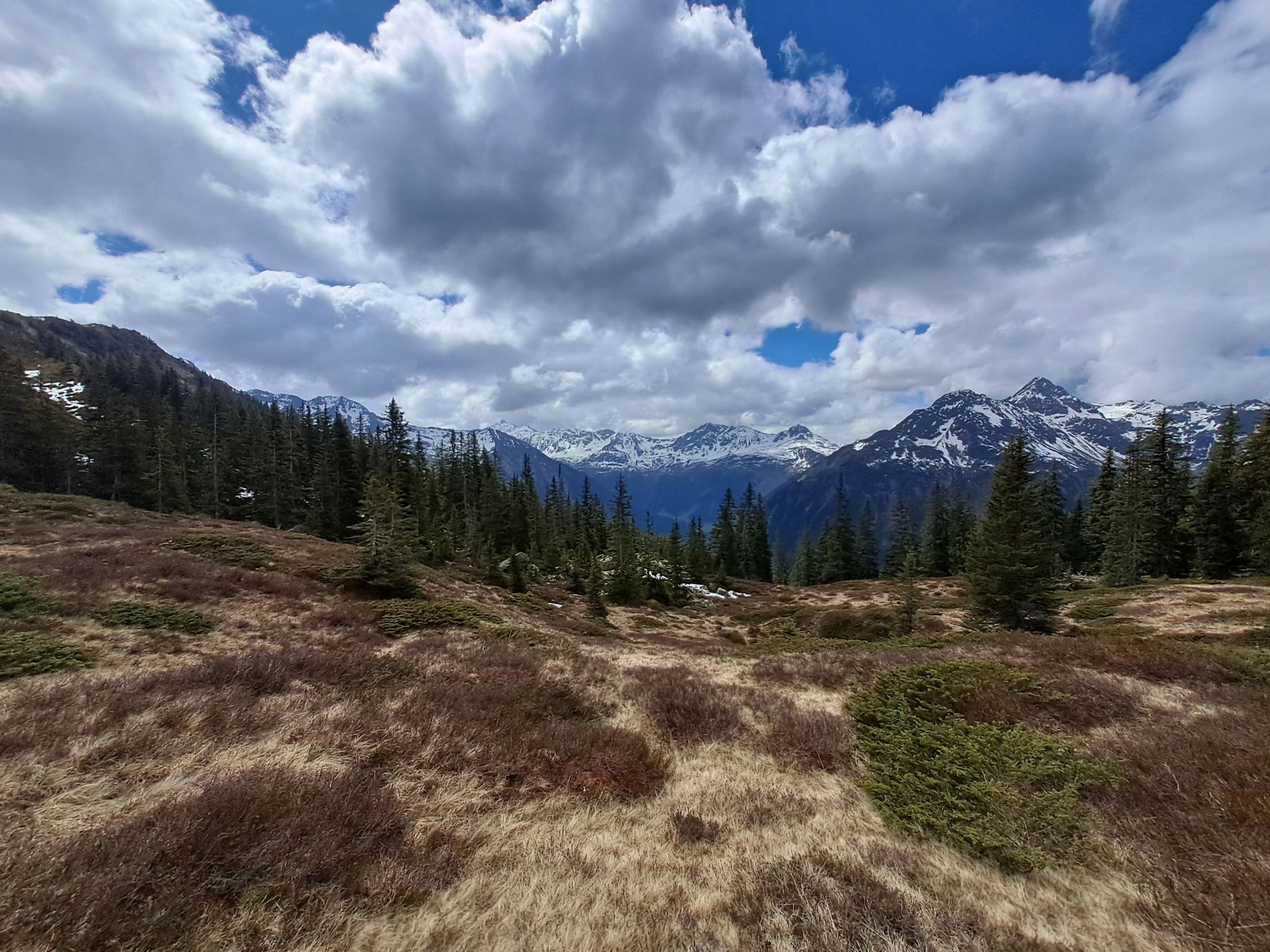
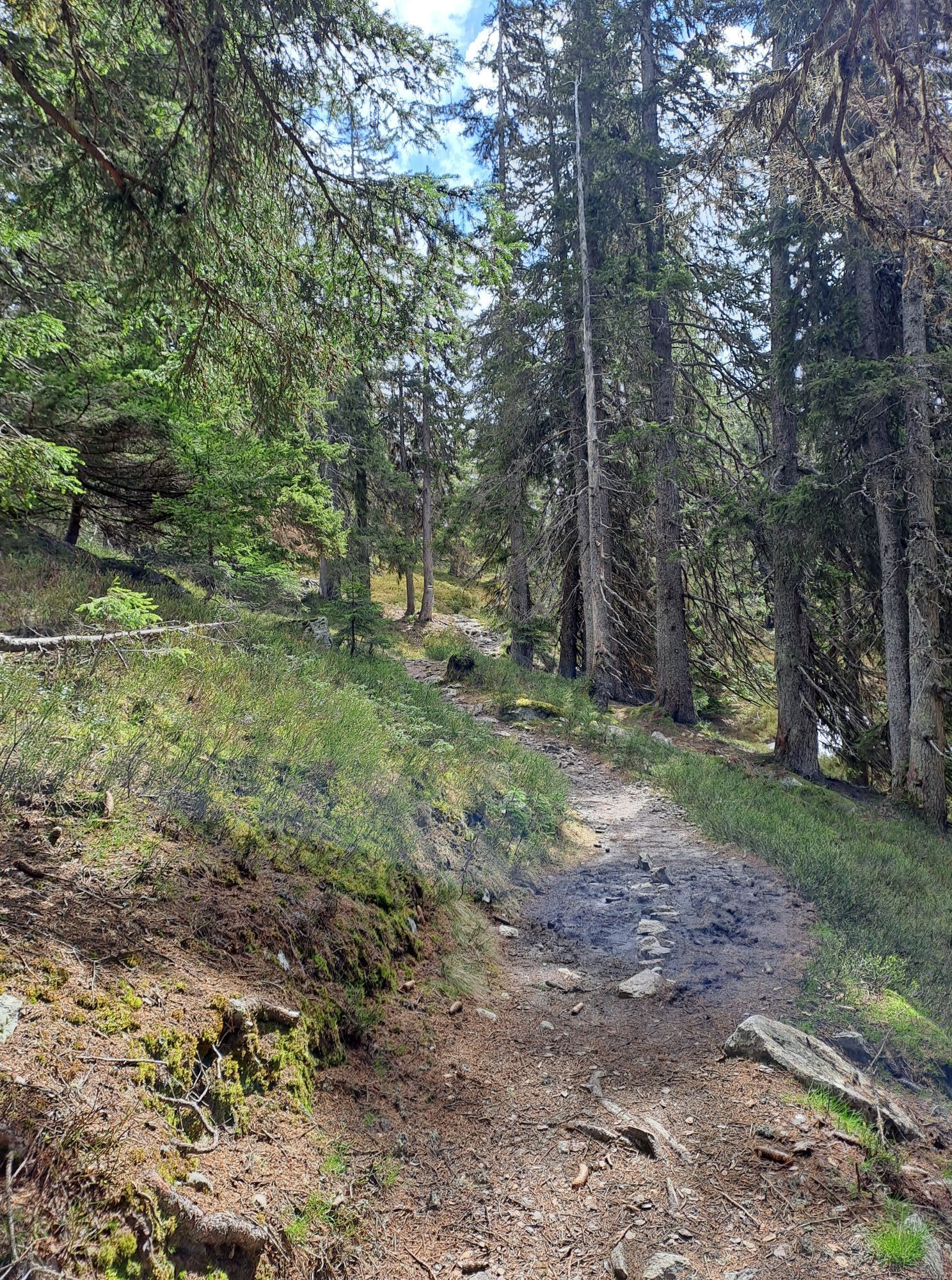
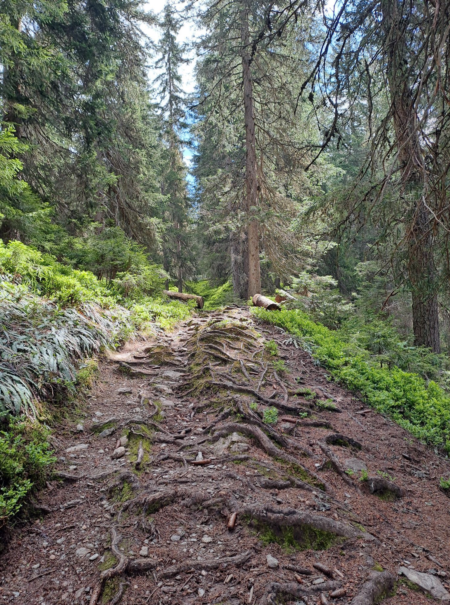
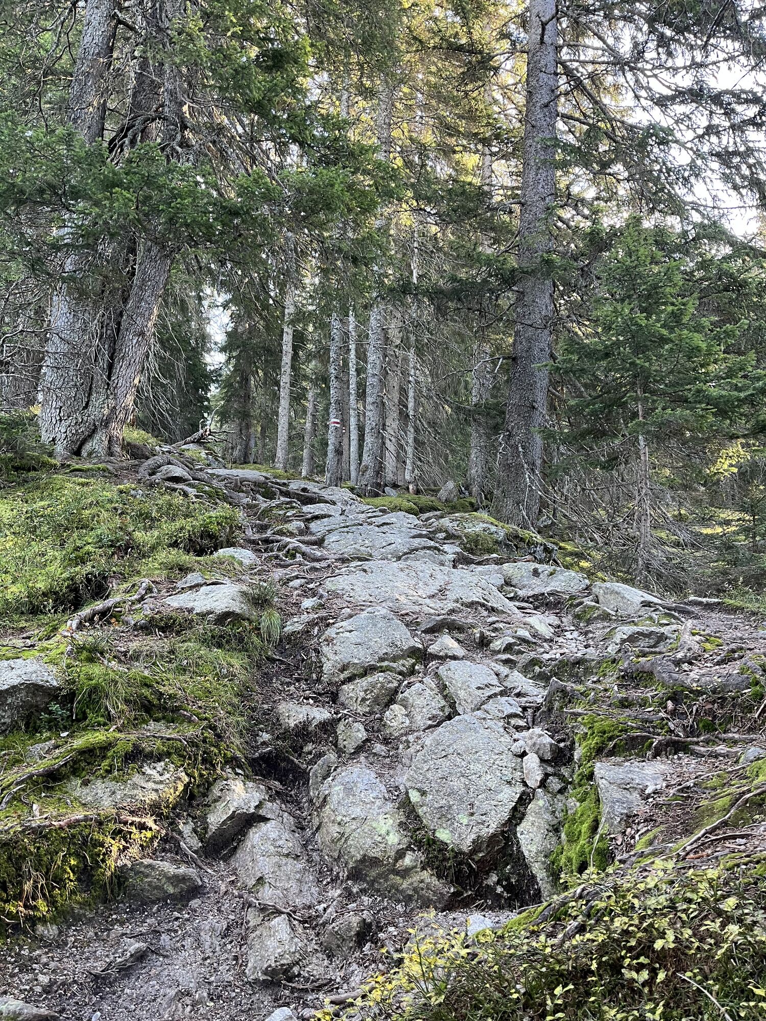
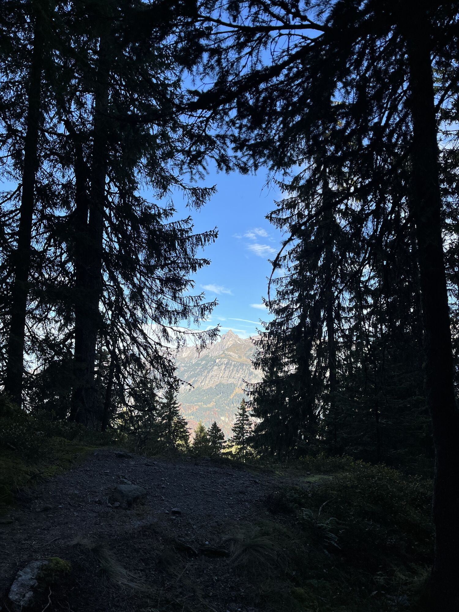
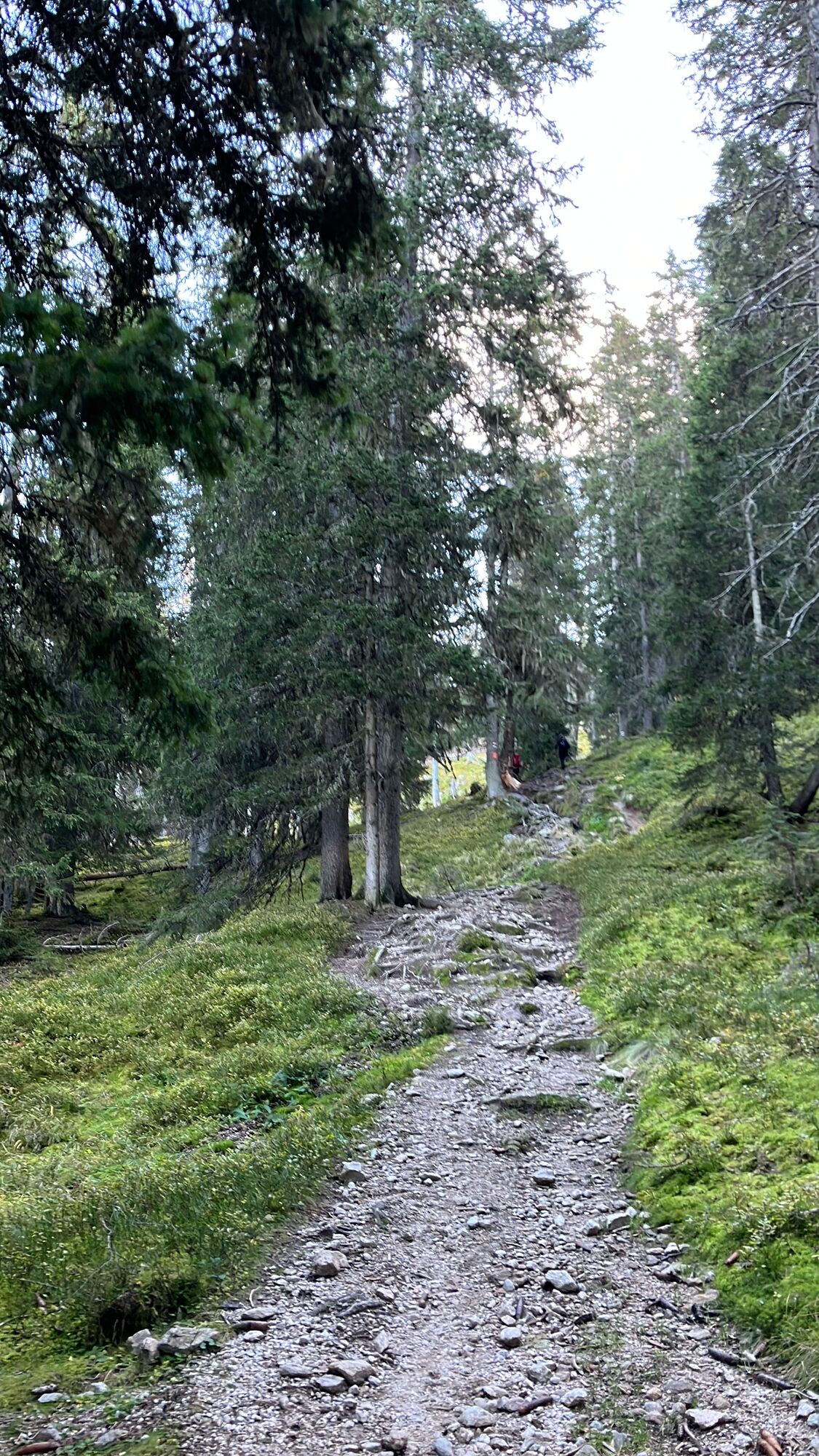
The sporty snowshoe route to the Muttjöchle starts from the Kristberg cable car mountain station. It is marked and signposted up to the entry point at Langried (ski slope). From there, follow the tracks of ski tourers and snowshoers through the Muttwald (about 1 3/4 hours to the tree line) to the summit of the Muttjöchle at 2,074 m above sea level.
After a short break, return the same way to the Kristberg cable car mountain station.
Áno
Áno
Snowshoes, telescopic poles with large baskets, avalanche equipment with transceiver, avalanche probe and shovel, day hiking backpack (approx. 30 liters) with rain cover possibly with avalanche airbag, comfortable and waterproof winter boots or sturdy hiking boots that fit into the snowshoe bindings, possibly gaiters, warm and durable clothing in layers, ski jacket and pants, hat/headband, scarf, gloves, possibly ski goggles, sun and rain protection, provisions and drinking water, thermos with hot drink, first aid kit, pocket knife, mobile phone, possibly headlamp and reflectors, maps, bivouac sack and rescue blanket
EMERGENCY CALL: 144
European emergency number: 112 (works with any mobile phone/network)
www.vorarlberg.travel/sicherheitstipps
Avalanche report:
The snowshoe routes are in open terrain. Use at your own risk.
Take the A14 to the Bludenz/Montafon exit and continue on the Montafonerstraße L188 to Schruns. Then continue via the Silbertalerstraße to Silbertal.
Just leave your car behind
The regional buses run throughout Montafon. The main lines operate every 30 minutes from Schruns station.
Bus stop at the start/finish of the route: Silbertal Kristbergbahn / line 88
Timetable: www.vmobil.at
Arrival by train to Montafon
From Bludenz station, the Montafon railway runs hourly (partly every half hour). There are also direct connections from Lindau (D) and Bregenz.
Timetable: www.oebb.at
Parking is available at the Kristberg cable car
This route is marked with the green number 9 on the overview map "Aktivkarte Schnee". The map is available free of charge at the Montafon tourist information.
Before you take the Kristberg cable car back down to the valley, you must not miss a break with Jürgen and his team at the Panoramagasthof Kristberg. They will spoil you with wonderful delicacies. My secret tip is the Kaiserschmarren with applesauce.
Webové kamery z prehliadky
-
Bergstation Sonnenkopf
-
Hochjoch Bahn Bergstation
-
Montafoner Kristbergbahn Bergstation
-
Panoramagasthof Kristberg
-
Kristberglift mit St. Agatha Kirche
-
Kinderland Skischule Silbertal
-
Silbertal Dorf
-
Innerberg
-
Bergstation Sonnenkopf
-
Bergstation Sonnenkopf
-
Bergstation Sonnenkopf
-
Bergstation Sonnenkopf
-
Bartholomäberg - Ferienhotel Fernblick
-
Kapellbahn
Obľúbené výlety v okolí
-
4,4
Golm-Rundwanderweg im Rätikon
strednáTematická trasa 7,28 km -
4,0
Stuben - Stubner See - Kaltenberghütte - Stuben
strednáTuristika 9,90 km -
5,0
Ski tour to the Lindauer Hut (1,744 m)
svetloSkitour 14,0 km -
4,8
Kristberg - Wasserstubental - Silbertal
svetloTuristika 13,8 km -
4,3
Golmer, Höhenweg und Golmer Seenrundweg
strednáHorská turistika 7,62 km -
4,8
From Latschau through the Gauertal to the Lindauer Hütte
strednáSnežnice 14,0 km -
3,5
Golmer Höhenweg
strednáTuristika 13,8 km -
4,8
Heilbronner lodge
strednáTuristika 13,0 km -
4,7
Alpgues circular route
strednáTematická trasa 9,36 km -
4,5
Zamangspitze summit path
strednáTematická trasa 7,07 km
Turistika a stopovanie


Nenechajte si ujsť ponuky a inšpiráciu na ďalšiu dovolenku
Vaša e-mailová adresa bol pridaný do poštového zoznamu.