


Latschau through the Gauertal to the Lindauer Hut
Úroveň náročnosti: 1


Fotografie našich používateľov
-
 © DidiVytvorené dňa 02.03.2025
 -
 © Erik TetterooVytvorené dňa 15.02.2025
 -
 © 9588DYVytvorené dňa 26.12.2023
 -

 © Passport1405Vytvorené dňa 10.08.2025
 -
 © Passport1405Vytvorené dňa 10.08.2025
 -
 © Passport1405Vytvorené dňa 10.08.2025
 -
 © Passport1405Vytvorené dňa 10.08.2025
 -
 © Passport1405Vytvorené dňa 10.08.2025
 -
 © Passport1405Vytvorené dňa 10.08.2025
 -
 © Passport1405Vytvorené dňa 10.08.2025
 -
 © Passport1405Vytvorené dňa 10.08.2025
 -
 © Passport1405Vytvorené dňa 10.08.2025
 -
 © Passport1405Vytvorené dňa 10.08.2025
 -
 © WernerseilVytvorené dňa 12.07.2025
 -
 © Alexander BechererVytvorené dňa 10.02.2025
 -
 © Ulrike MönnichVytvorené dňa 28.08.2024
 -
 © Ulrike MönnichVytvorené dňa 28.08.2024
 -
 © Jens BrunnerVytvorené dňa 24.06.2024
 -
 © Jens BrunnerVytvorené dňa 24.06.2024
 -

 © Stefan BrandtVytvorené dňa 13.06.2020

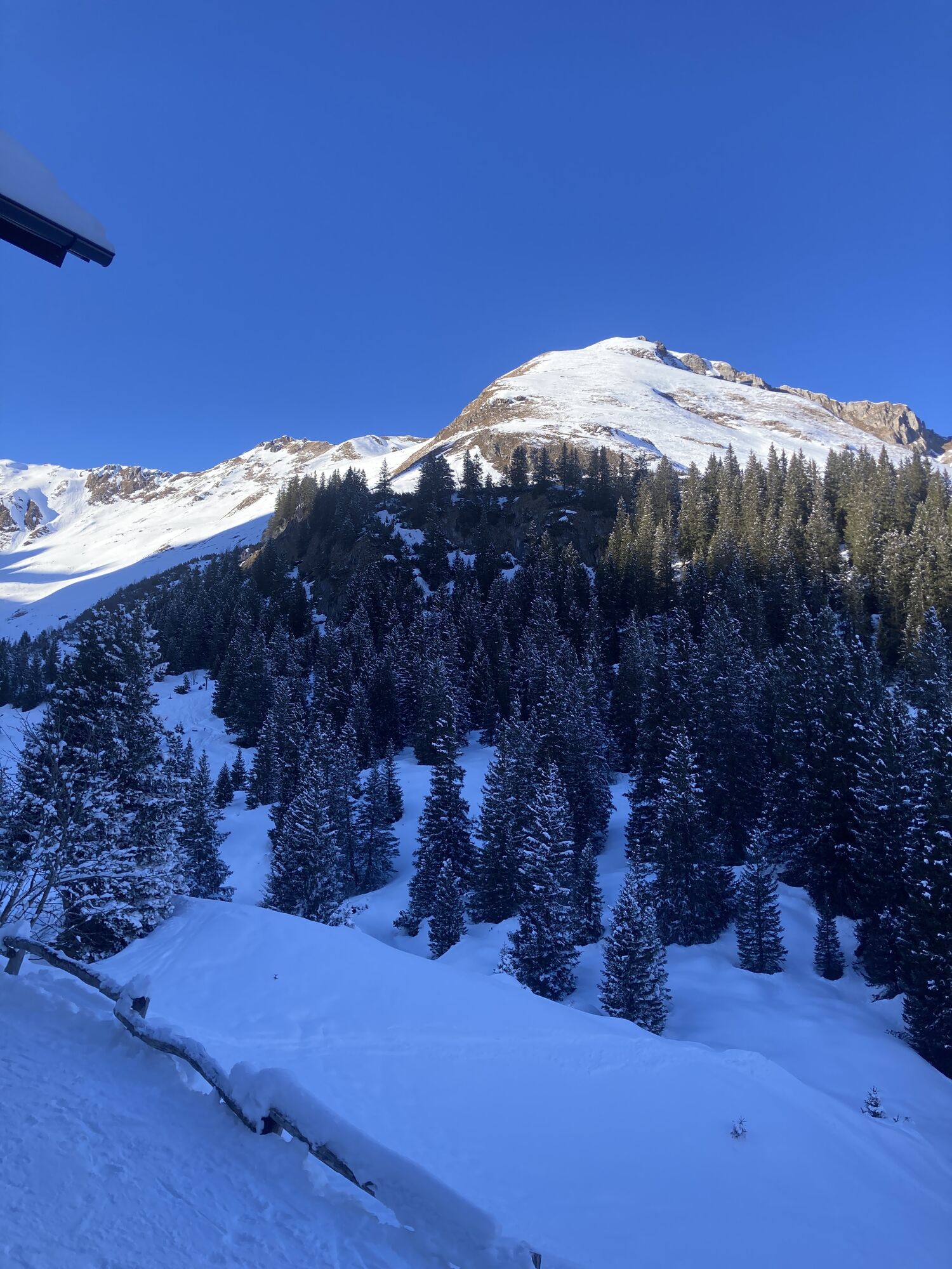

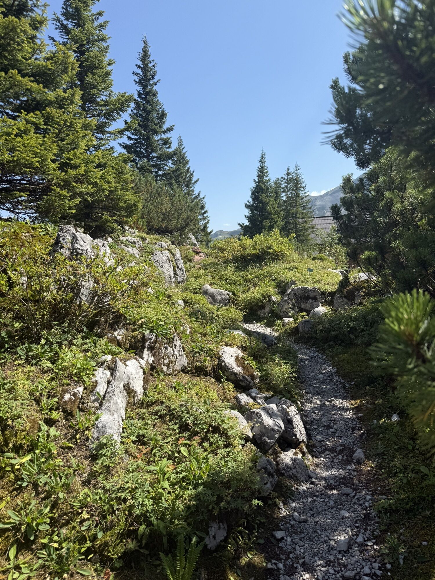
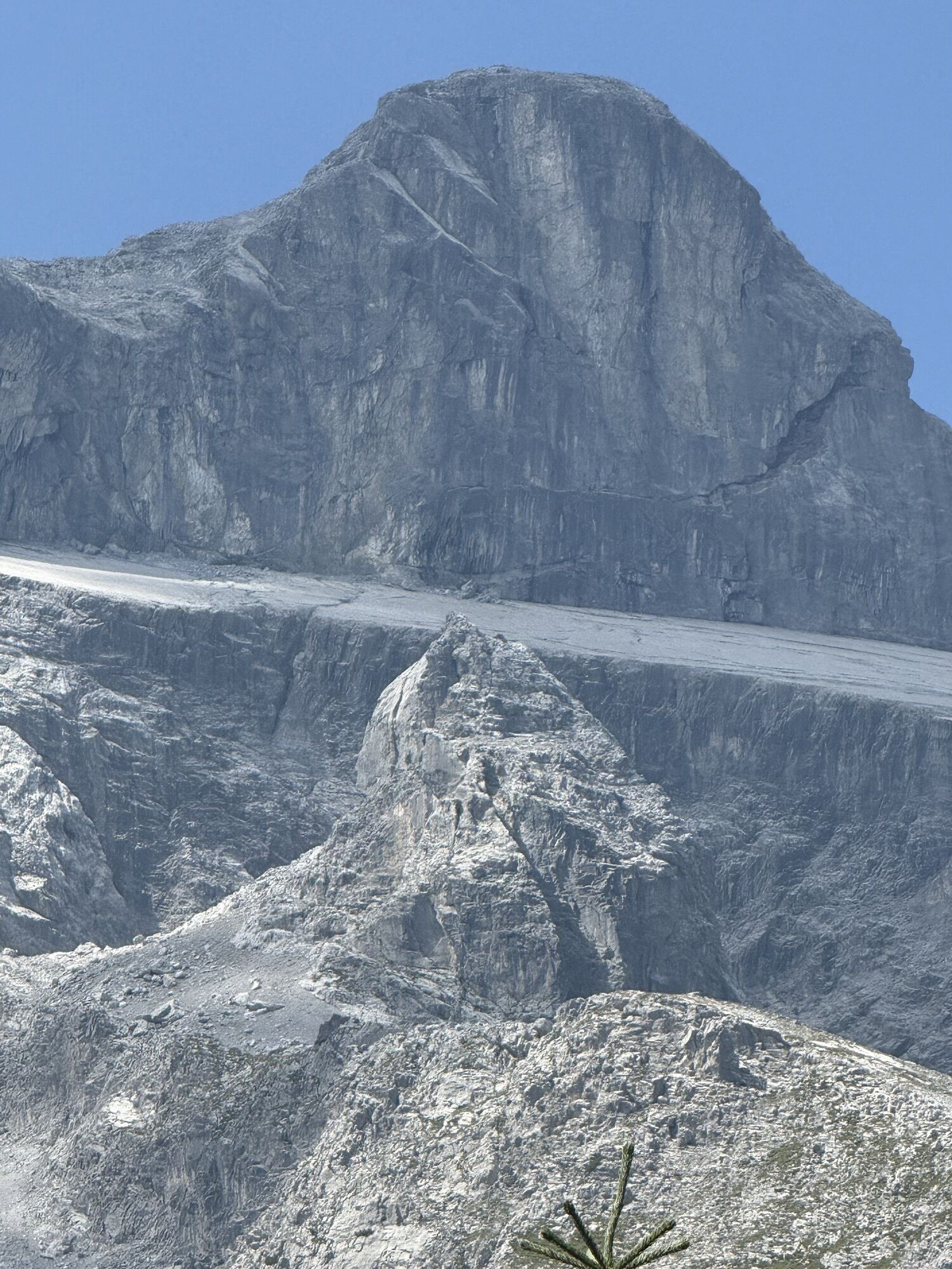
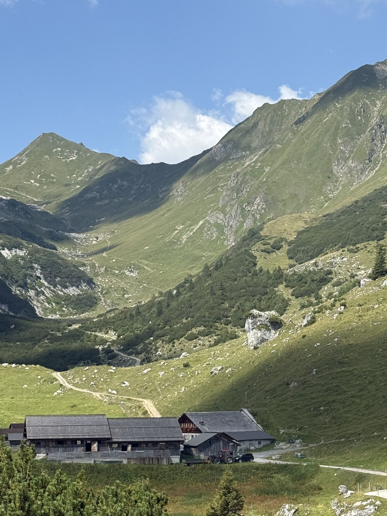
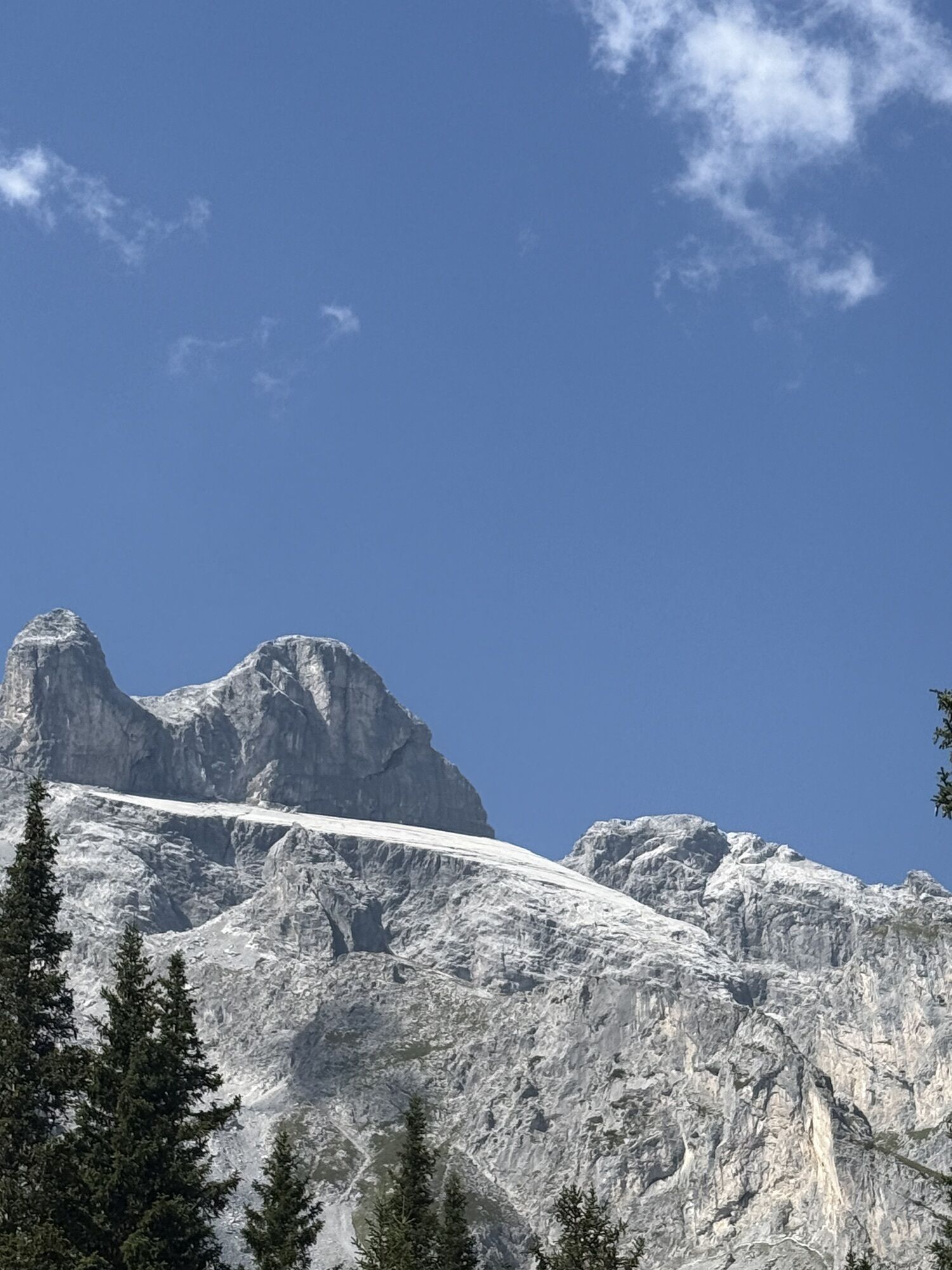
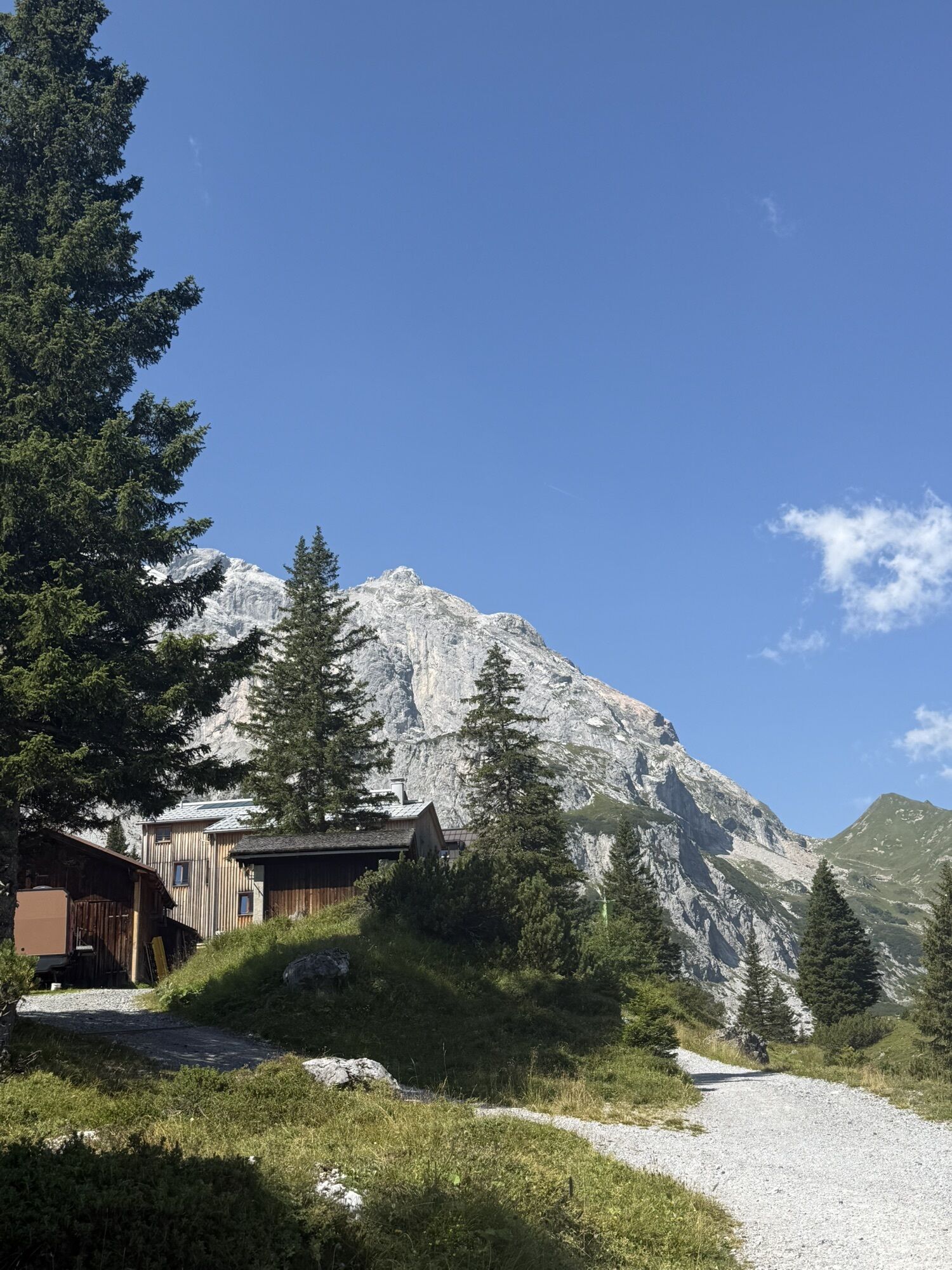
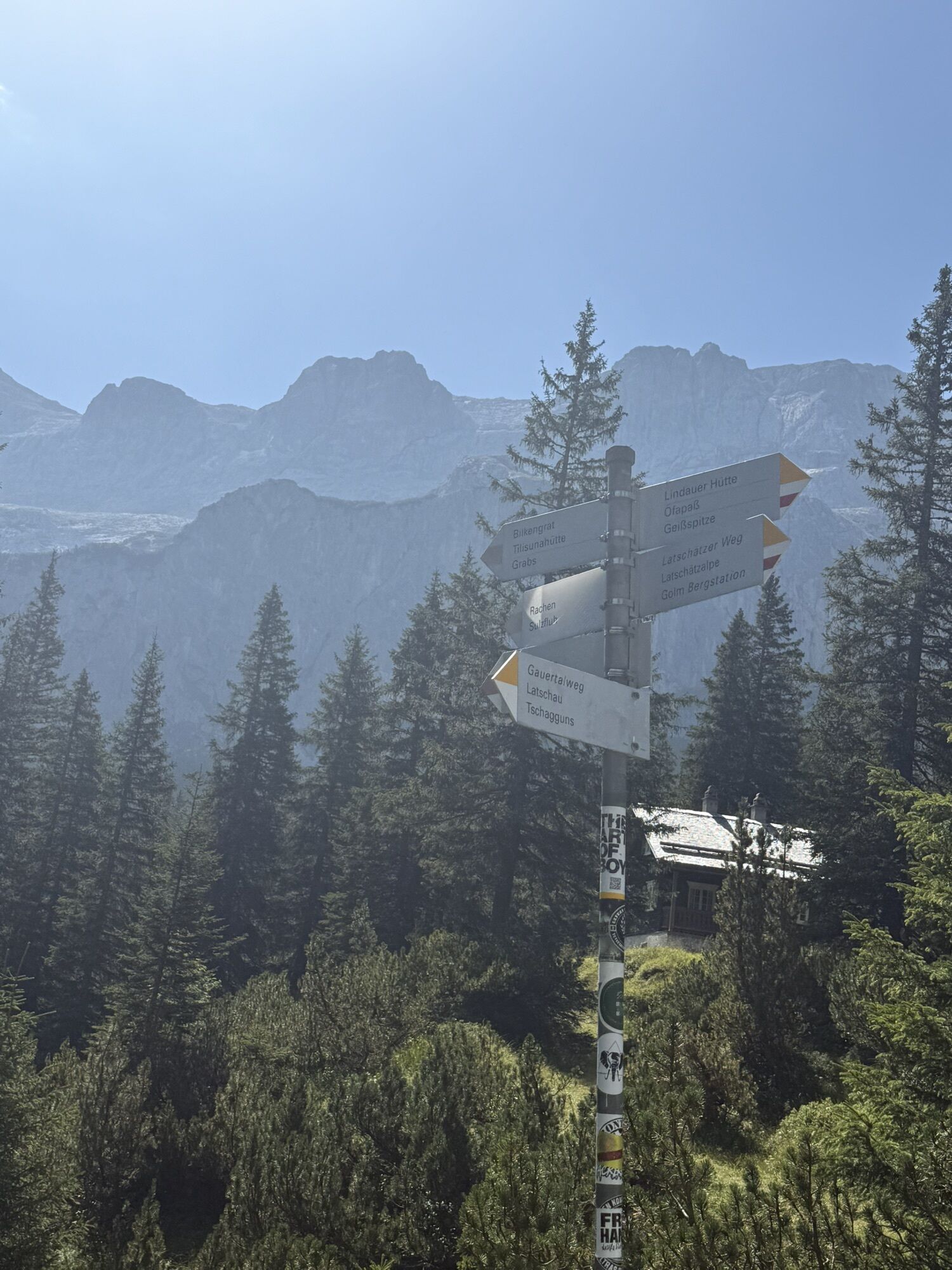
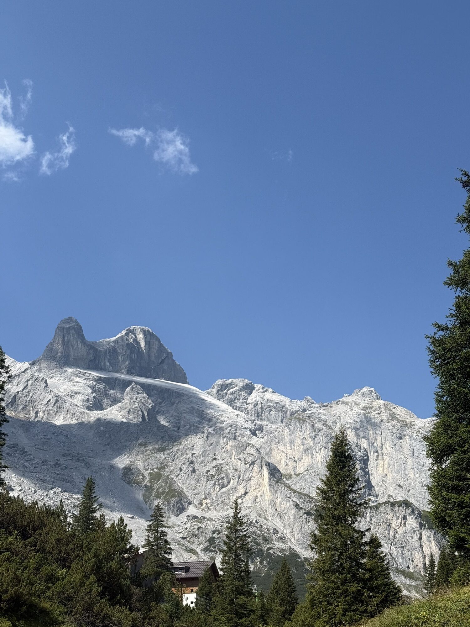
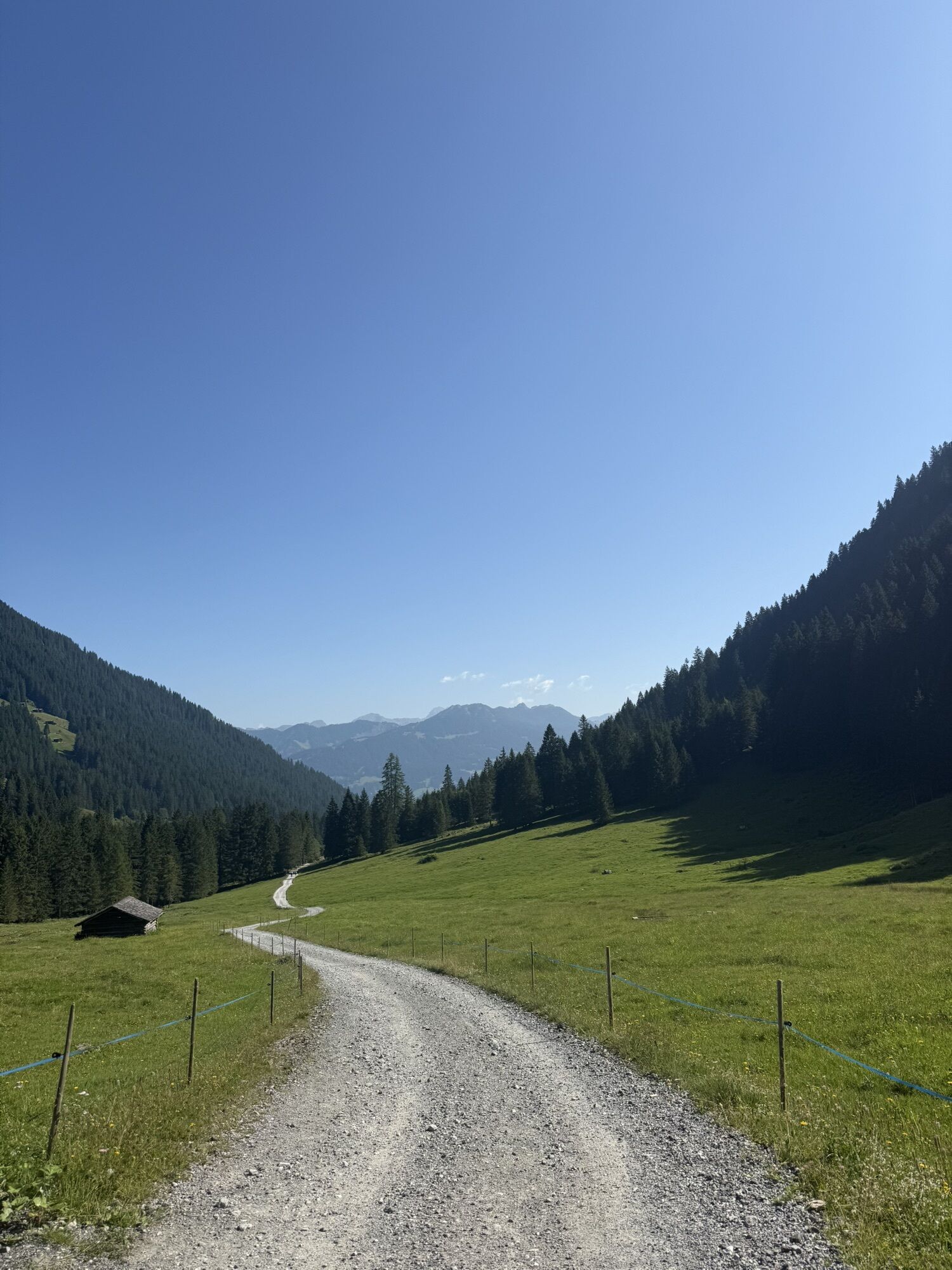
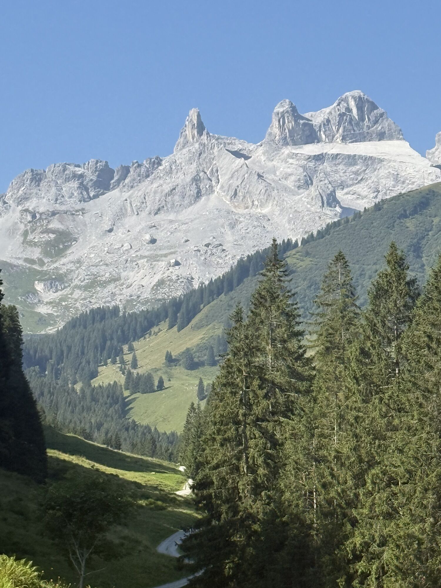


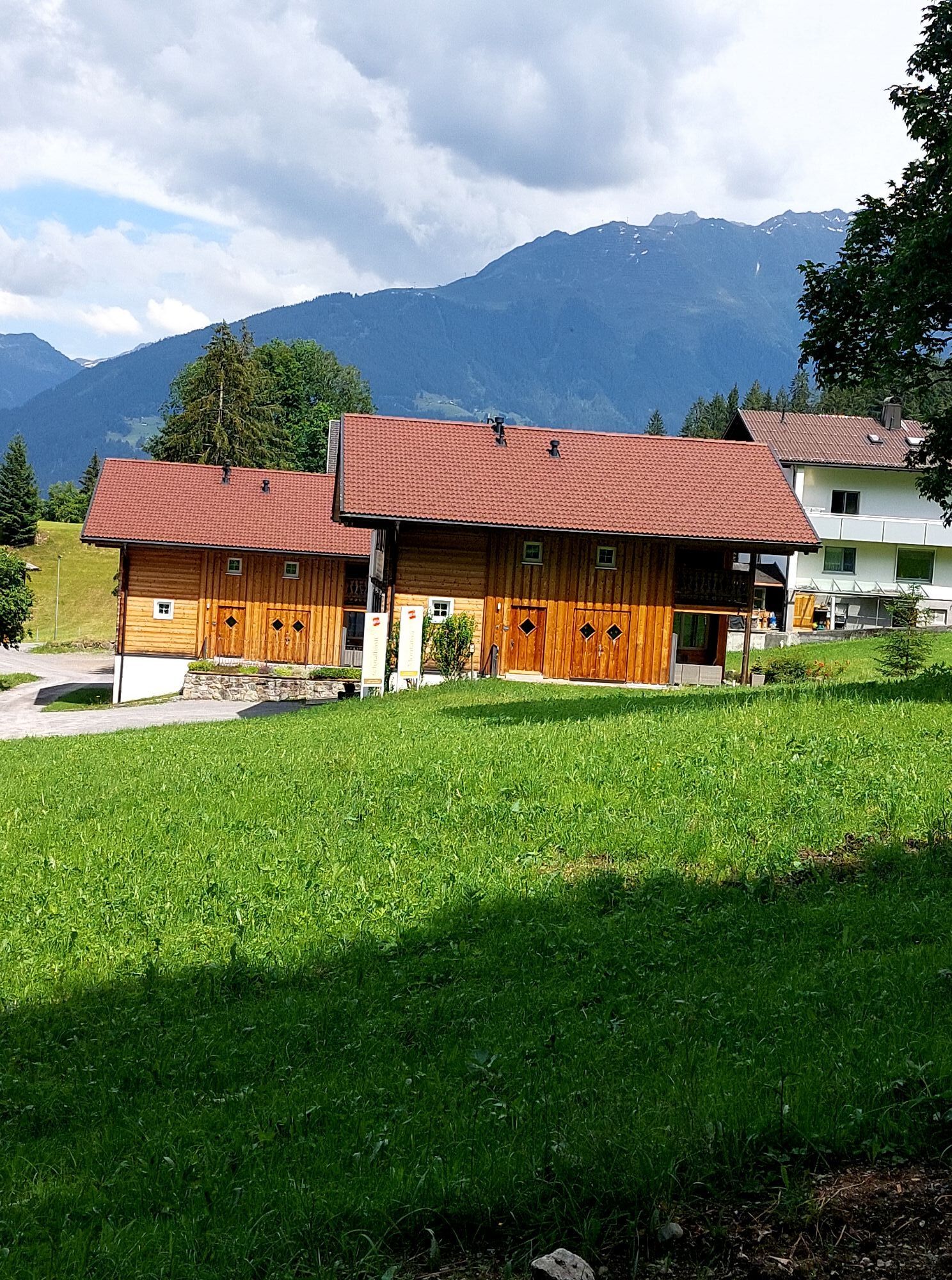
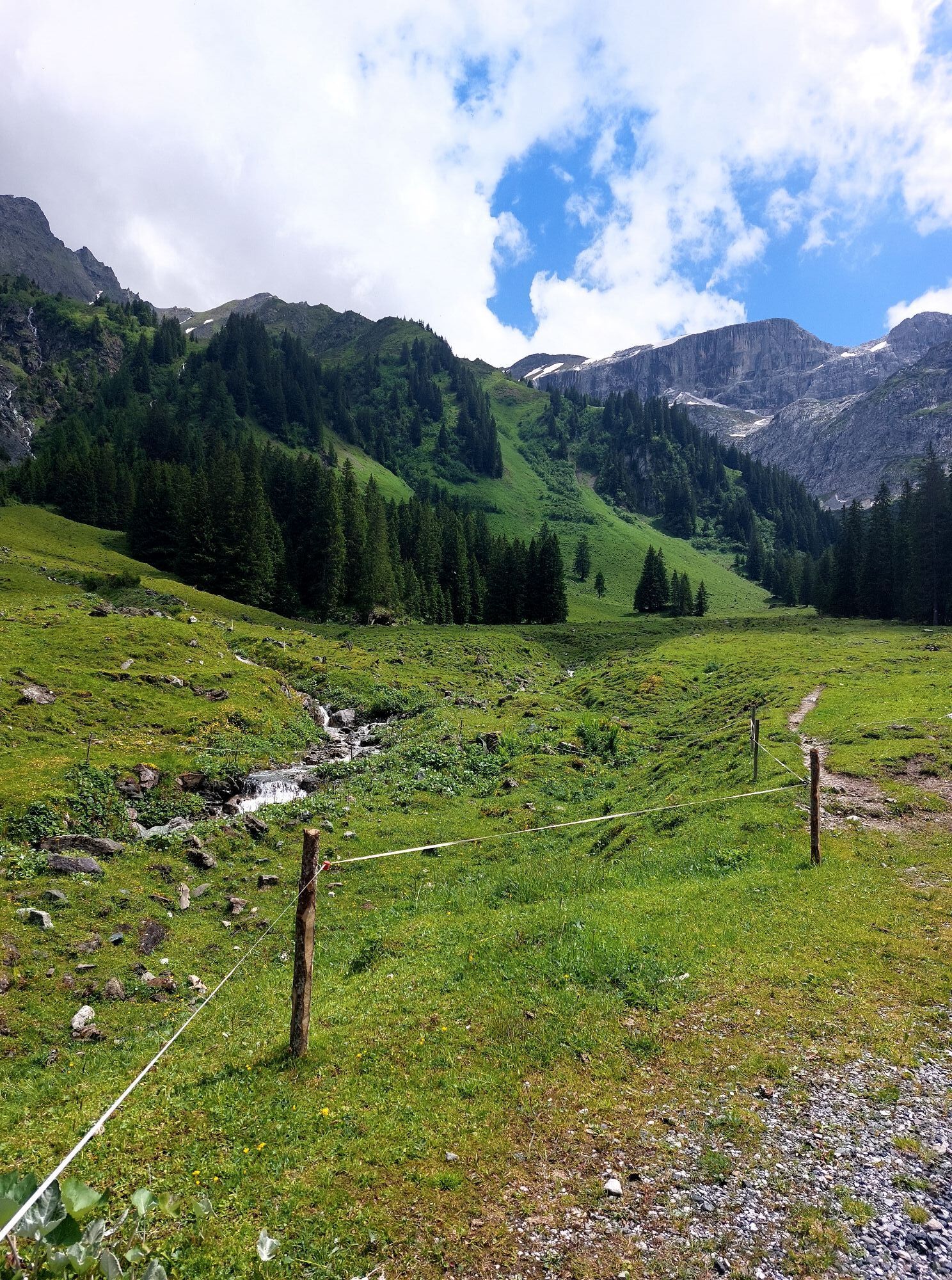
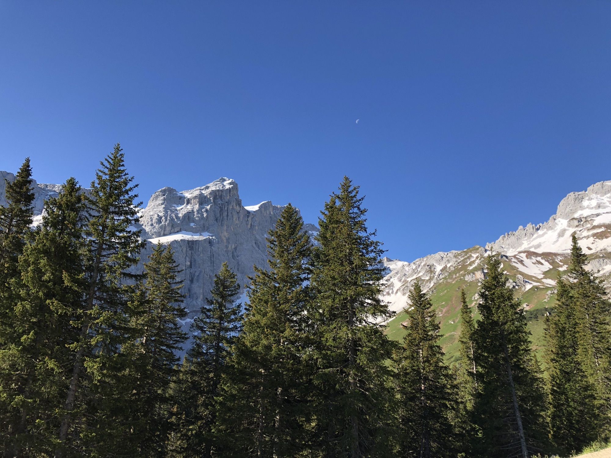
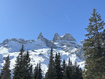
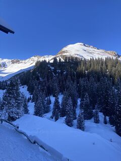
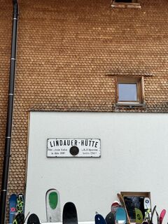
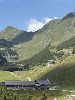
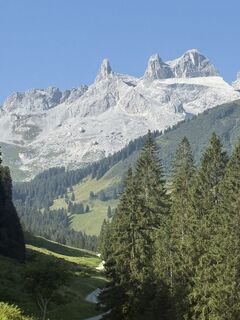
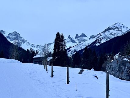
The Gauertal with the Drei Türme is considered one of the most beautiful valley ends of the Alps. The hike leads through the alpine pasture landscape Gauertal and ends directly at the Lindauer Hut. Hikers...
The Gauertal with the Drei Türme is considered one of the most beautiful valley ends of the Alps. The hike leads through the alpine pasture landscape Gauertal and ends directly at the Lindauer Hut. Hikers can expect an untouched and dreamlike winter landscape.


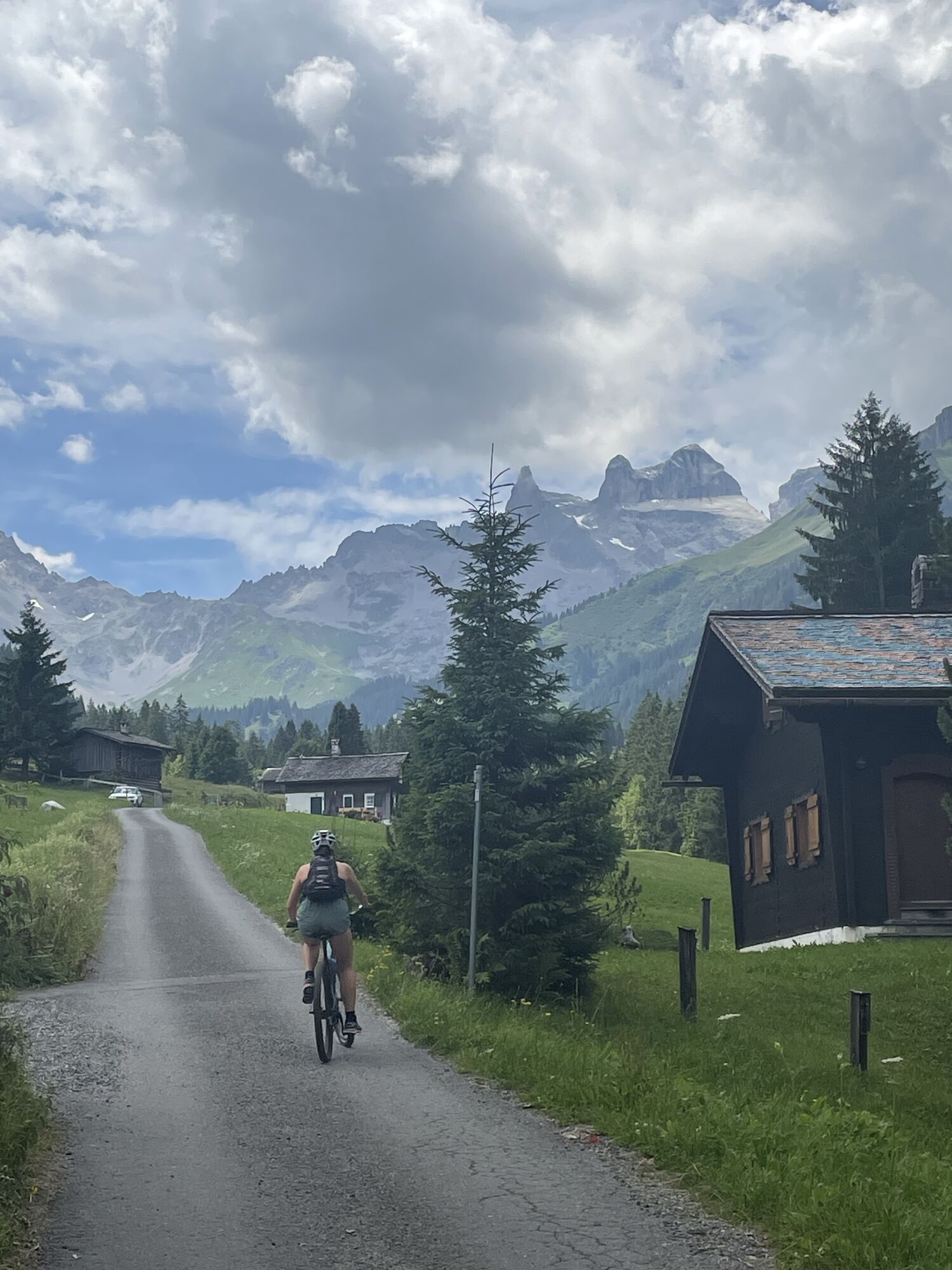
The route constantly ascends from Latschau past the alpine pastures in the Gauertal directly to the Lindauer Hut. You return along the same route back to the starting point in Latschau.
Áno
EMERGENCY CALL: 144
European emergency number: 112 (works with any mobile phone/network)
www.vorarlberg.travel/sicherheitstipps
Avalanche report:
The winter hiking trail is in open terrain. Hiking is at your own risk.
Take the A14 to the Bludenz/Montafon exit and continue on Montafonerstraße L188 to the Rätikon junction Schruns-Tschagguns. There turn right and follow the road into the center of Tschagguns. Continue straight through the center until you reach Latschau. Before the power plant, turn left and follow the road to the hiking parking lot after the fire station.
Just leave your car behind
Regional buses operate throughout Montafon. The main lines run every half hour from Schruns station.
Bus stop at the tour start/finish: Latschau Kraftwerk / Line 1
Timetable: www.vmobil.at
Arrival by train to Montafon
The Montafon railway runs hourly (sometimes every half hour) from Bludenz station. There are also direct connections from Lindau (D) and Bregenz.
Timetable: www.oebb.at
Hiking parking lot at the Latschau fire station (paid)
1
This route is marked on the overview map "Aktivkarte Schnee" with the pink number 19. The map is available for free at the Montafon tourist information offices.
It is recommended to bring a sled, as you can enjoy sledding from the Lindauer Hut down through the Gauertal to Latschau.
You also have the option to rent a sled directly at the Lindauer Hut for a rental fee of 10.00 € per sled/day. ATTENTION, only a limited number are available.
Webové kamery z prehliadky
Obľúbené výlety v okolí
-
4,7
Smuggler’s path
strednáTematická trasa 8,60 km -
4,9
Bürs, Bürserschlucht Bürs, Vorarlberg
strednáTuristika 5,31 km -
5,0
Douglasshütte, Lünersee, Gafalljoch Brand bei Bludenz, Vorarlberg
svetloTuristika 9,16 km -
4,4
Golm-Rundwanderweg im Rätikon
strednáTematická trasa 7,28 km -
5,0
Ski tour to the Lindauer Hut (1,744 m)
svetloSkitour 14,0 km -
4,8
Kristberg - Wasserstubental - Silbertal
svetloTuristika 13,8 km -
4,3
Golmer, Höhenweg und Golmer Seenrundweg
strednáHorská turistika 7,62 km -
4,8
From Latschau through the Gauertal to the Lindauer Hütte
strednáSnežnice 14,0 km -
3,5
Golmer Höhenweg
strednáTuristika 13,8 km -
4,7
Alpgues circular route
strednáTematická trasa 9,36 km
Turistika a stopovanie


Nenechajte si ujsť ponuky a inšpiráciu na ďalšiu dovolenku
Vaša e-mailová adresa bol pridaný do poštového zoznamu.