


Silbertal to Kristberg
Úroveň náročnosti: 2


Fotografie našich používateľov
-
 © Martin HudelistVytvorené dňa 27.12.2023
 -
 © Martin HudelistVytvorené dňa 27.12.2023
 -
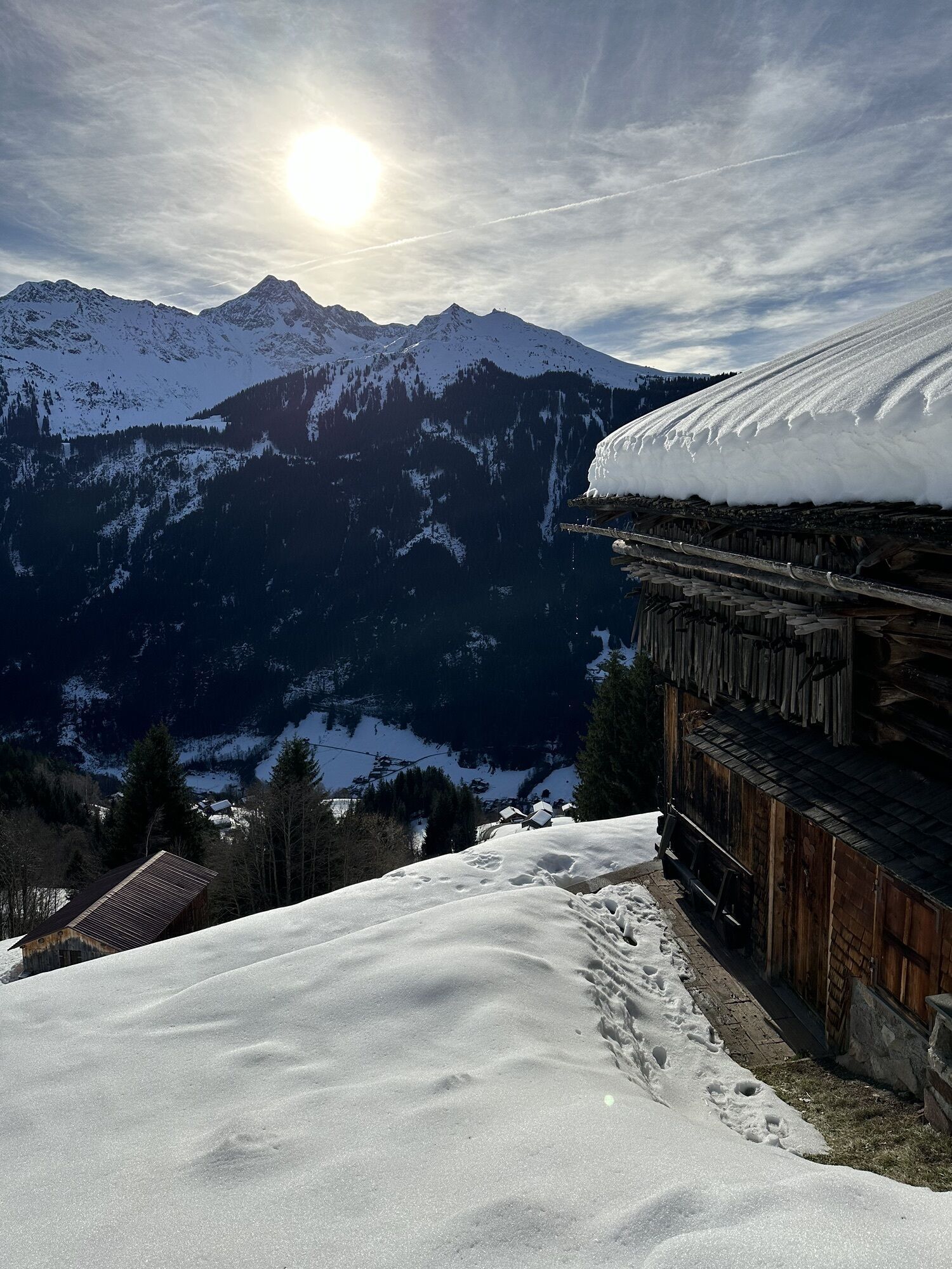
 © Martin HudelistVytvorené dňa 01.01.2025
 -
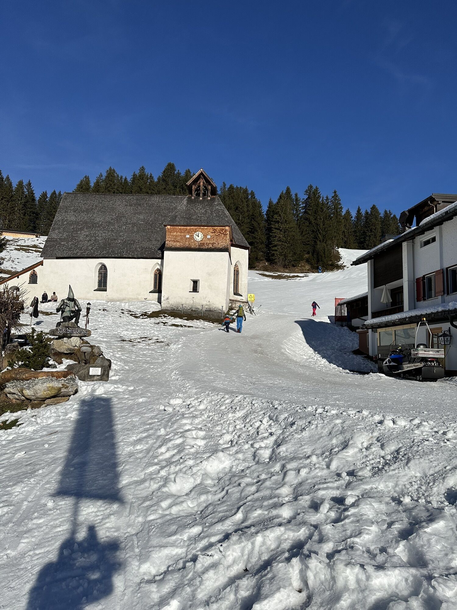
 © Martin HudelistVytvorené dňa 01.01.2025
 -
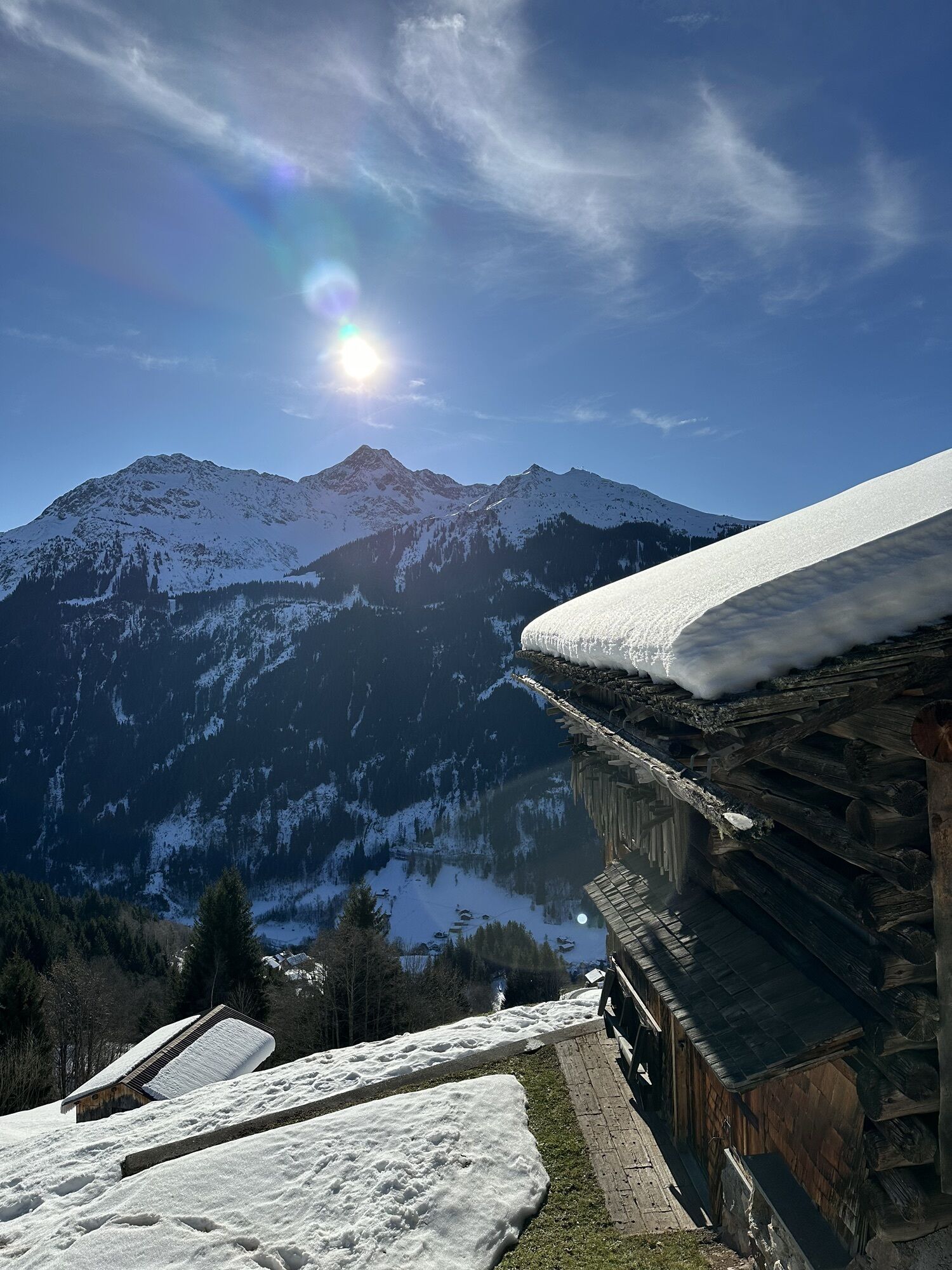
 © Martin HudelistVytvorené dňa 01.01.2025
 -

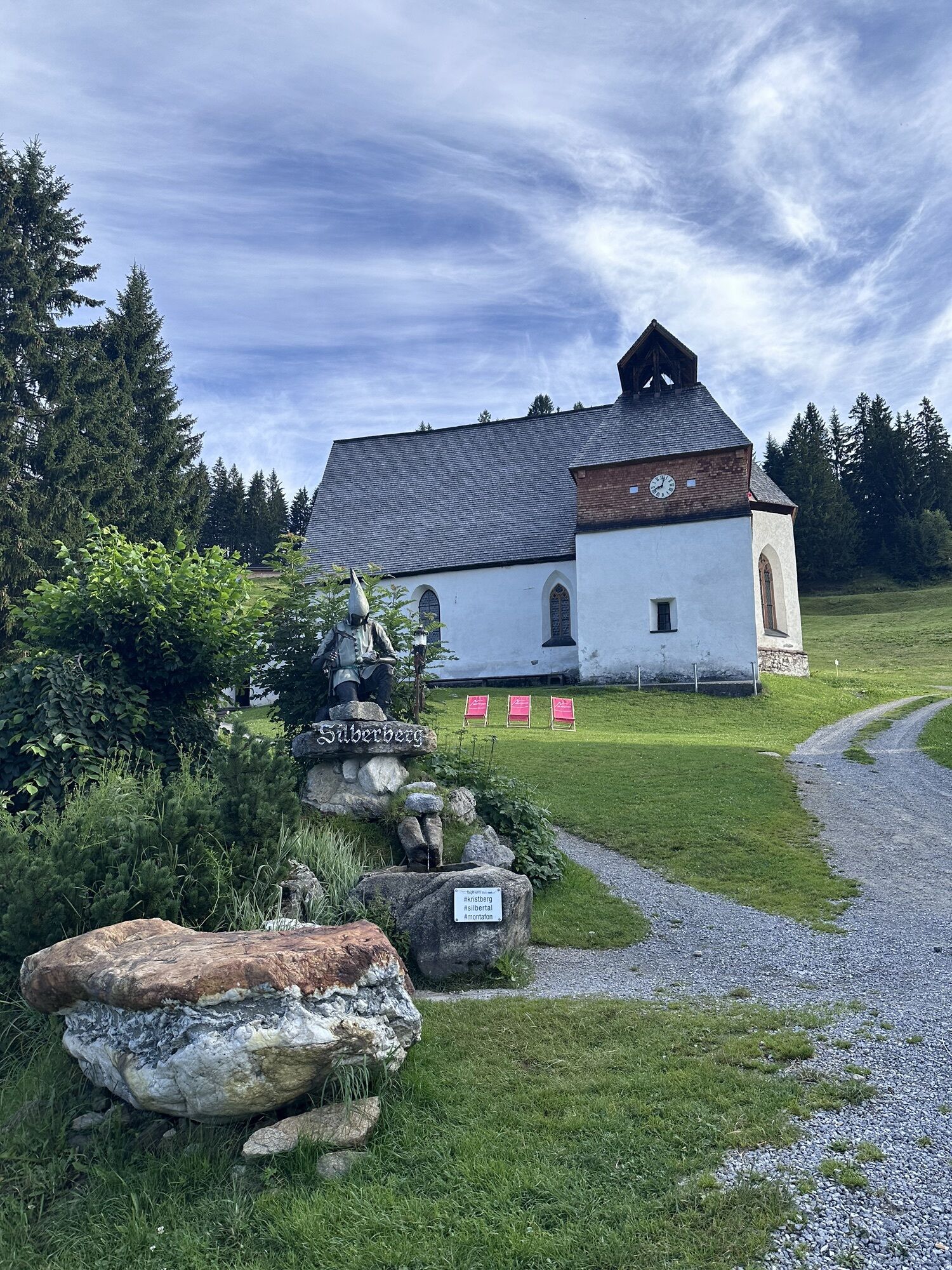
 © Monika DiemVytvorené dňa 26.07.2024
 -

 © WaldläuferVytvorené dňa 21.05.2023
 -
 © WaldläuferVytvorené dňa 21.05.2023
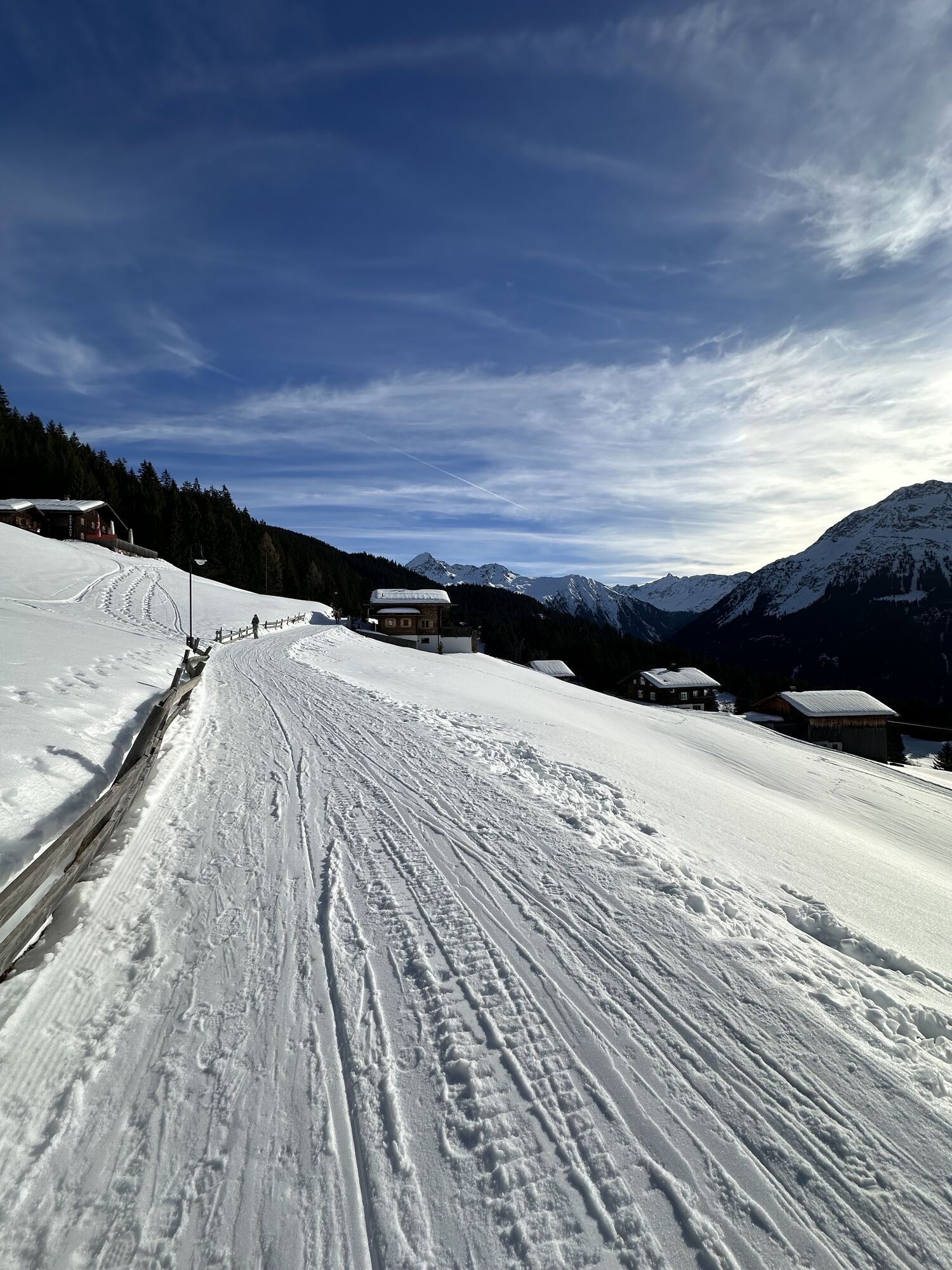

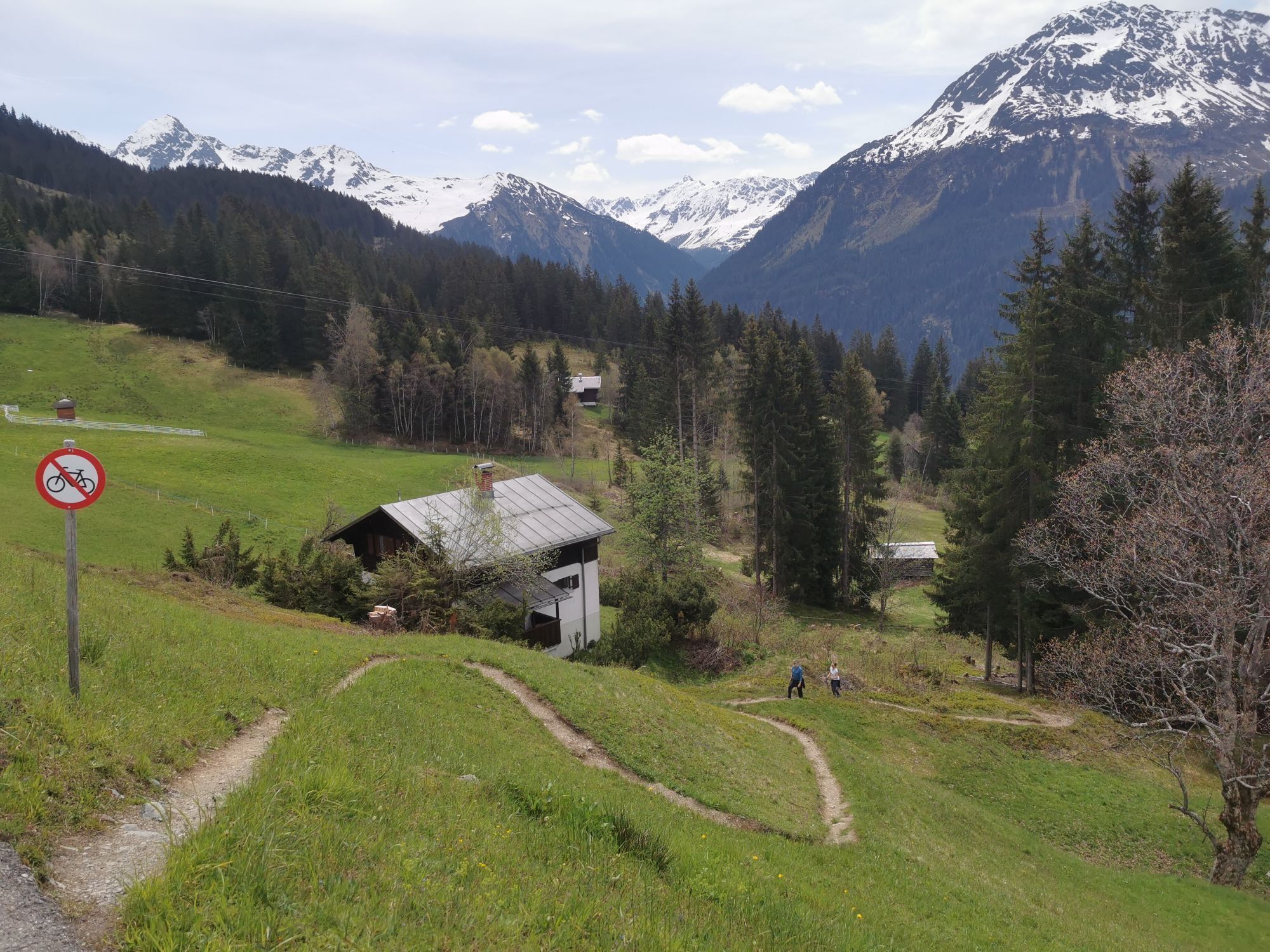
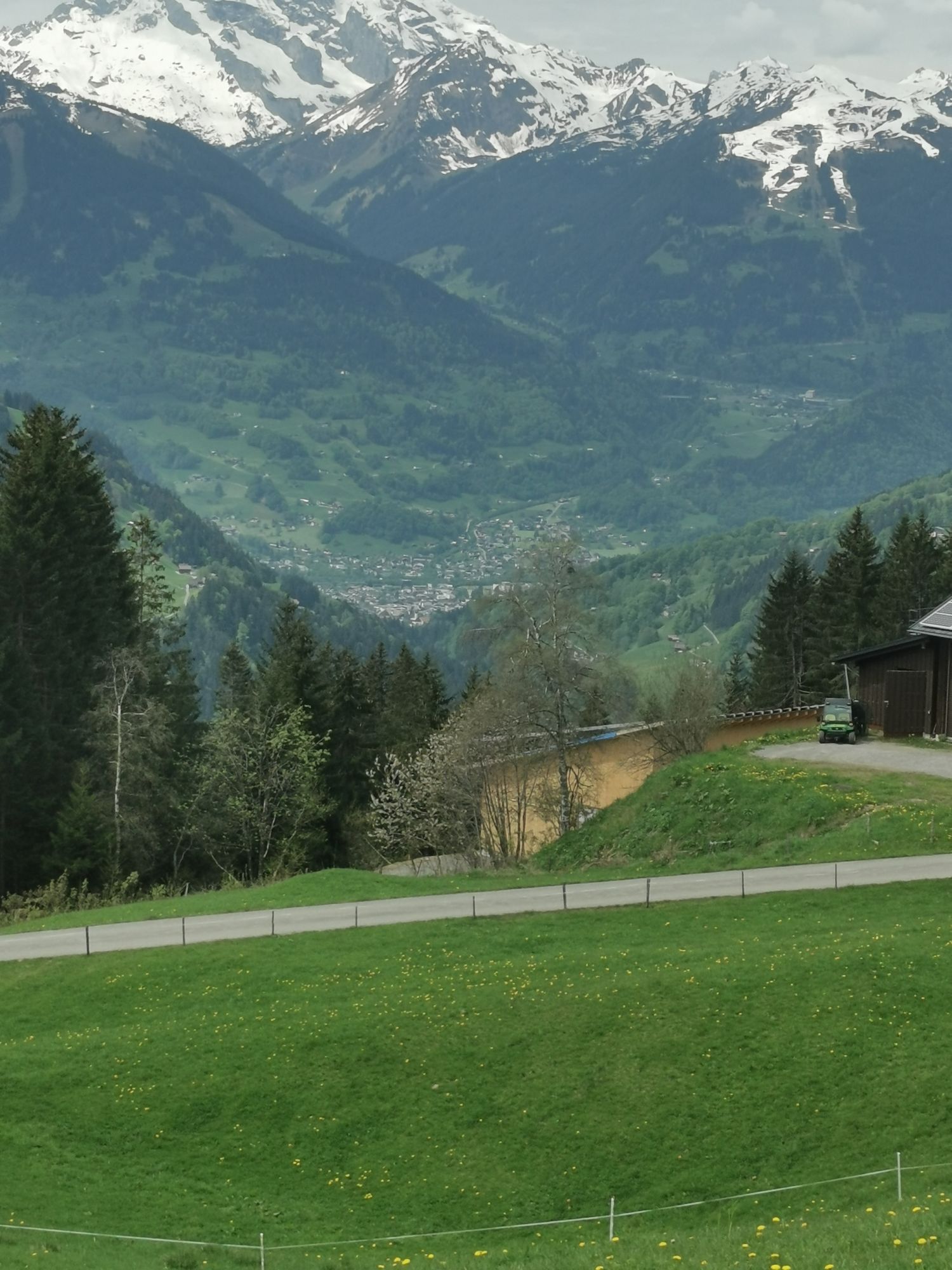


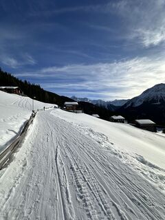
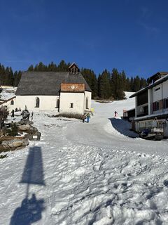
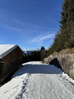
From the valley station of the Kristbergbahn, follow the road a short way downhill to the Hotel Hirschen. Above the Hotel Hirschen the path continues. Then turn into Kristbergstraße and continue uphill along the street. Along Kristbergstraße it goes up through Außerkristberg to the Totelbühel junction. Upon arrival, turn right and follow the path further to the Panorama guesthouse Kristberg. You can stop for refreshments at the Panorama guesthouse Kristberg or Knappastoba. Both guesthouses are near the Kristbergbahn mountain station. To return to the valley station, take the Kristbergbahn.
Please wear sturdy footwear appropriate for the conditions.
European emergency number: 112 (works with any mobile phone/network)
www.vorarlberg.travel/sicherheitstipps
Drive on the A14 to the Bludenz/Montafon exit and continue on Montafonerstraße L188 to Schruns. From Schruns, you reach Silbertal.
Just leave your car behind
The regional buses run throughout Montafon. The main lines operate every half hour from Schruns station.
Bus stop at the start/finish of the route: Silbertal Kristbergbahn / Line 88
Schedule: www.vmobil.at
Travel by train to Montafon
From Bludenz station, the Montafon railway runs hourly (partly every half hour). There are also direct connections from Lindau (GER) and Bregenz.
Schedule: www.oebb.at
Parking lot at the valley station of the Kristbergbahn
2
This route is marked with pink number 11 on the overview map "Active Snow Map." The map is available for free at the Montafon tourist offices.
Webové kamery z prehliadky
-
Hochjoch Bahn Bergstation
-
Montafoner Kristbergbahn Bergstation
-
Panoramagasthof Kristberg
-
Kristberglift mit St. Agatha Kirche
-
Kinderland Skischule Silbertal
-
Bergstation Hochalpila Bahn
-
Silbertal Dorf
-
Innerberg
-
Panorama Bahn - Berg
-
Bartholomäberg
-
Schruns
-
Bartholomäberg - Ferienhotel Fernblick
-
Wormserhütte
-
Wormserhütte
-
Kapellbahn
Obľúbené výlety v okolí
-
4,9
Bürs, Bürserschlucht Bürs, Vorarlberg
strednáTuristika 5,31 km -
4,5
Muttersberg - Fraßenhütte - Fraßen - Tiefenseesattel Nüziders, Österreich
strednáTuristika 10,1 km -
4,4
Golm-Rundwanderweg im Rätikon
strednáTematická trasa 7,28 km -
4,0
Stuben - Stubner See - Kaltenberghütte - Stuben
strednáTuristika 9,90 km -
5,0
Ski tour to the Lindauer Hut (1,744 m)
svetloSkitour 14,0 km -
4,8
Kristberg - Wasserstubental - Silbertal
svetloTuristika 13,8 km -
4,3
Golmer, Höhenweg und Golmer Seenrundweg
strednáHorská turistika 7,62 km -
4,8
From Latschau through the Gauertal to the Lindauer Hütte
strednáSnežnice 14,0 km -
3,5
Golmer Höhenweg
strednáTuristika 13,8 km -
4,7
Alpgues circular route
strednáTematická trasa 9,36 km
Turistika a stopovanie


Nenechajte si ujsť ponuky a inšpiráciu na ďalšiu dovolenku
Vaša e-mailová adresa bol pridaný do poštového zoznamu.