


STOCKALPER WAY - Val Bognanco


Fotografie našich používateľov
-

 © Margherita PoliniVytvorené dňa 01.10.2025
 -
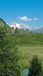
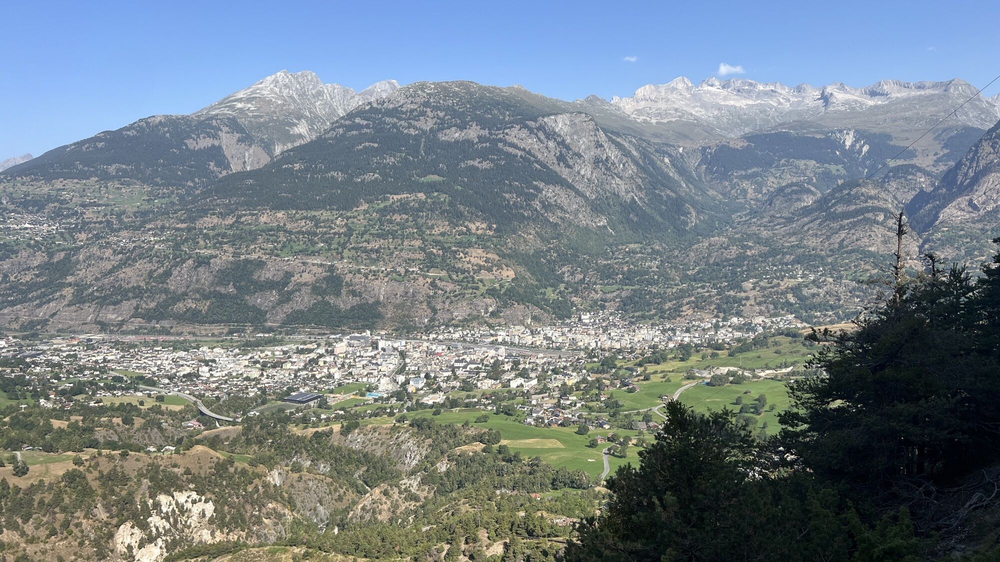
 © Stefano PaganiniVytvorené dňa 24.09.2025
 -
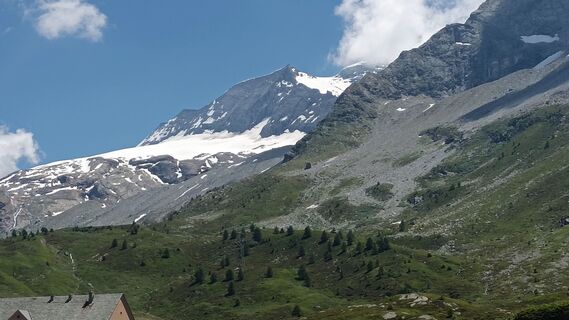
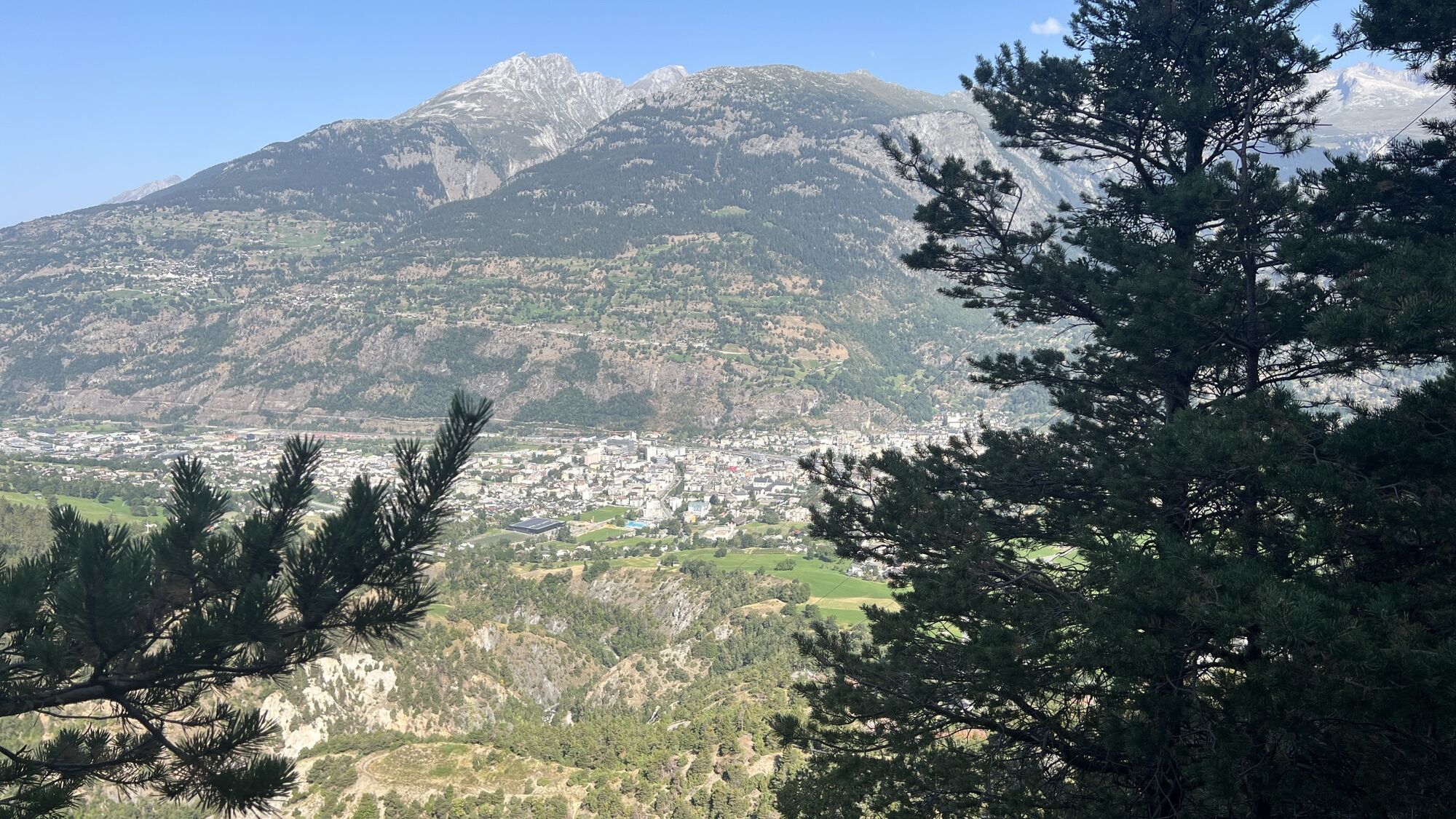
 © Stefano PaganiniVytvorené dňa 24.09.2025
 -
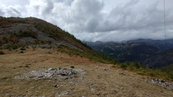
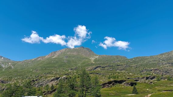
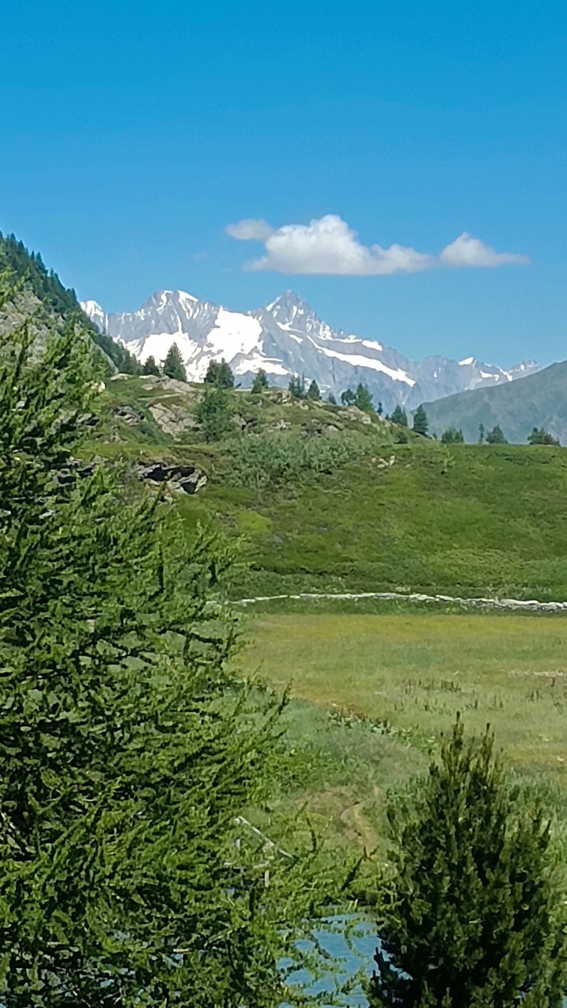
 © Stefano PaganiniVytvorené dňa 24.09.2025
 -
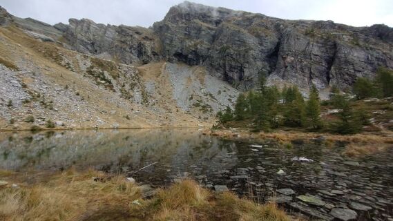
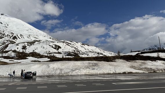
 © Stefano PaganiniVytvorené dňa 24.09.2025
 -
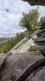 © Stefano PaganiniVytvorené dňa 24.09.2025
 -
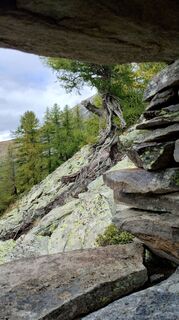 © Stefano PaganiniVytvorené dňa 24.09.2025
 -
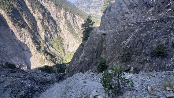
 © Gerardo BrunettiVytvorené dňa 06.09.2025
 -
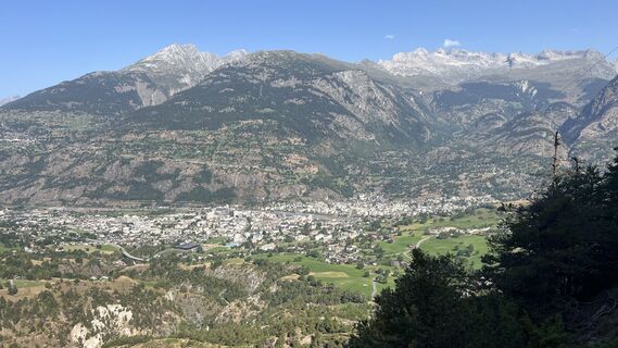
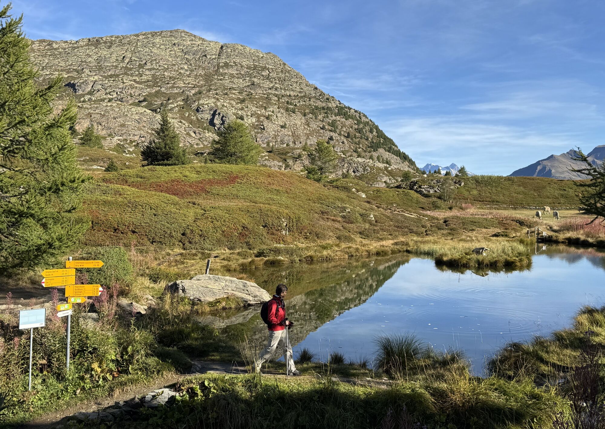
 © Peter HunzikerVytvorené dňa 15.08.2025
 -
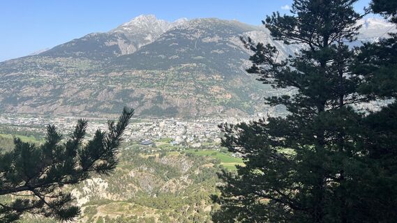
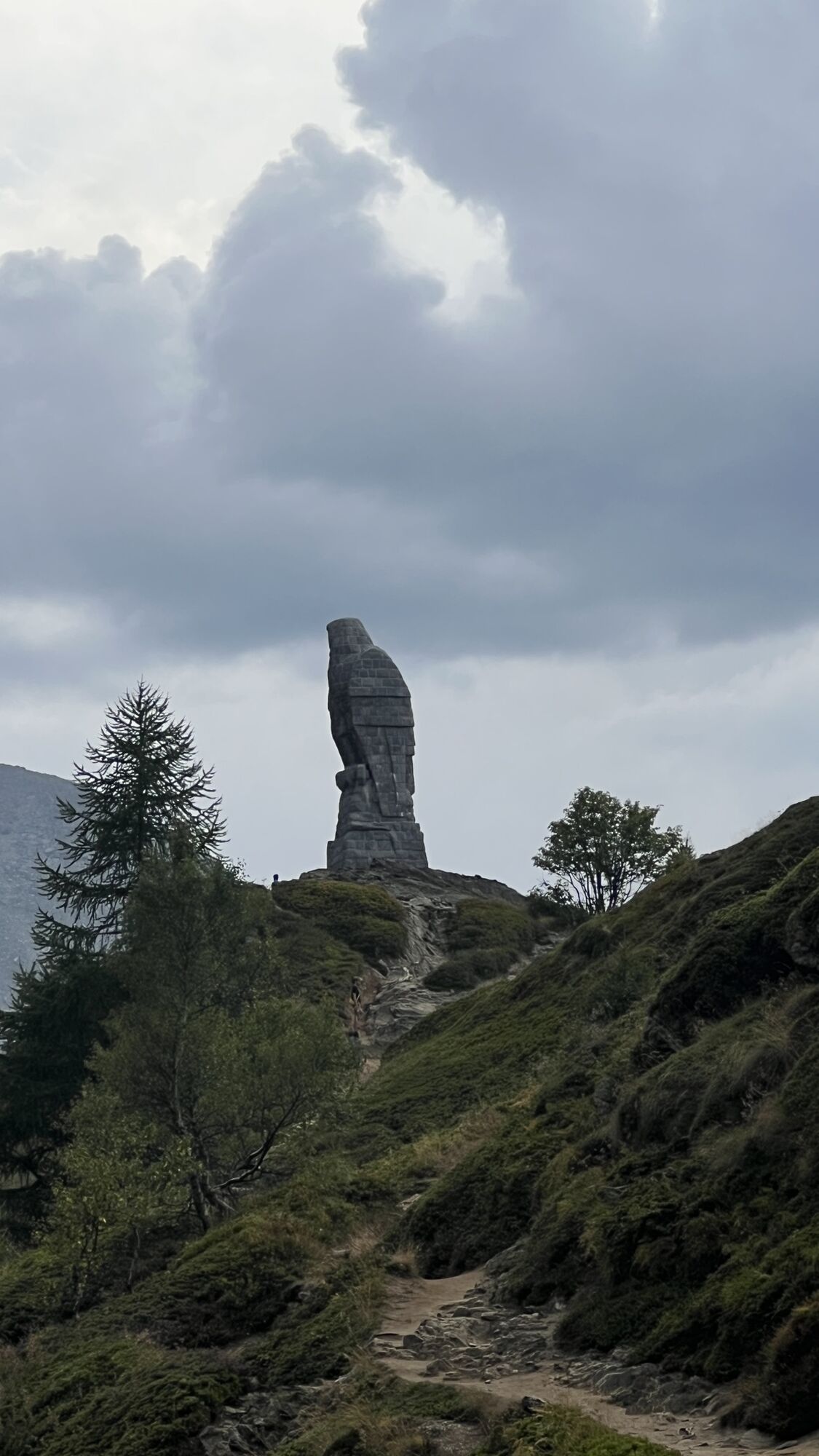
 © Peter HunzikerVytvorené dňa 15.08.2025
 -
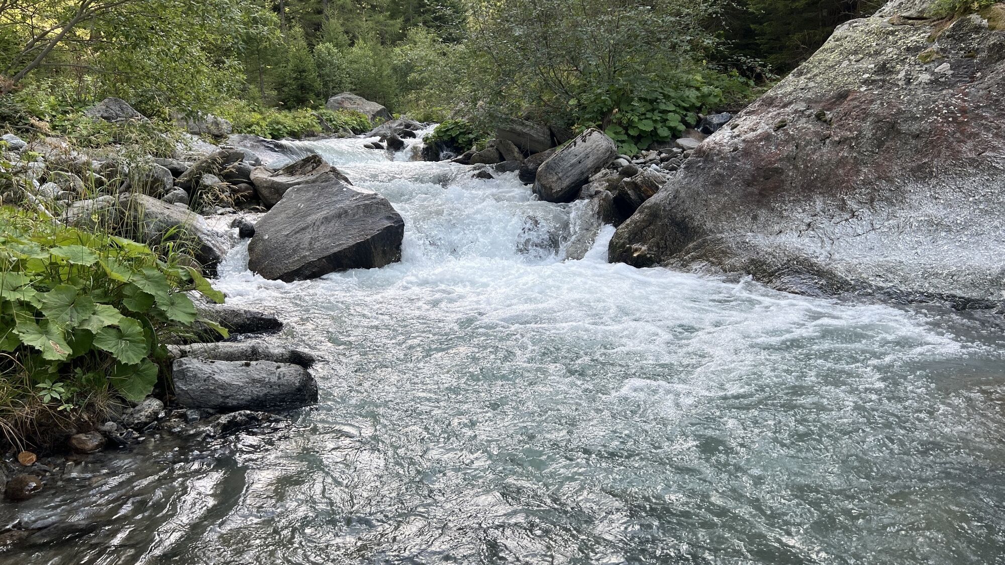
 © Peter HunzikerVytvorené dňa 15.08.2025
 -
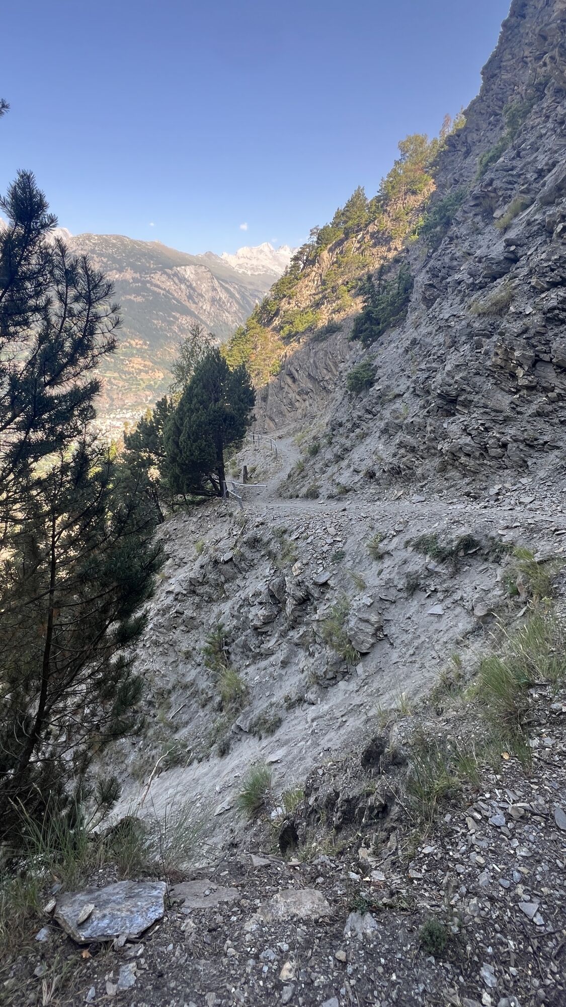
 © Peter HunzikerVytvorené dňa 15.08.2025
 -
 © Peter HunzikerVytvorené dňa 15.08.2025
 -
 © Peter HunzikerVytvorené dňa 15.08.2025
 -
 © Peter HunzikerVytvorené dňa 15.08.2025
 -
 © Regula MartiVytvorené dňa 20.02.2024
 -
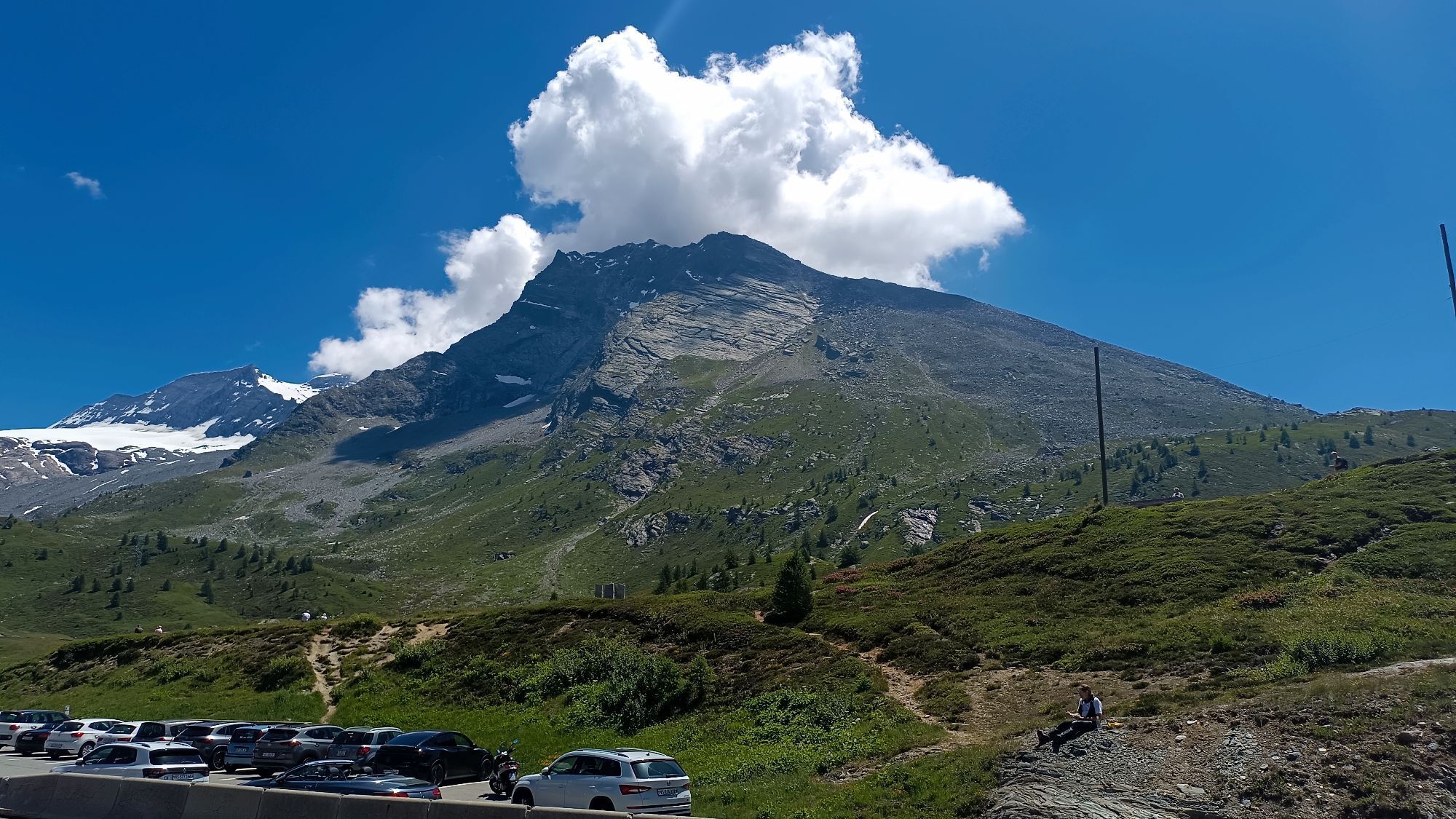
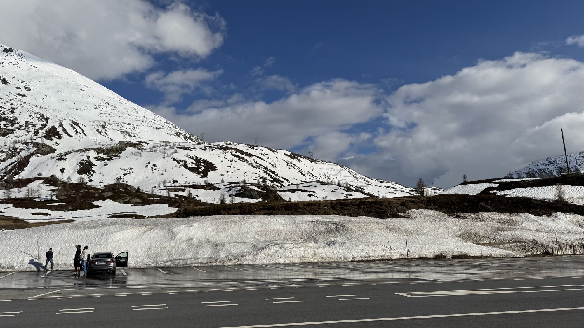
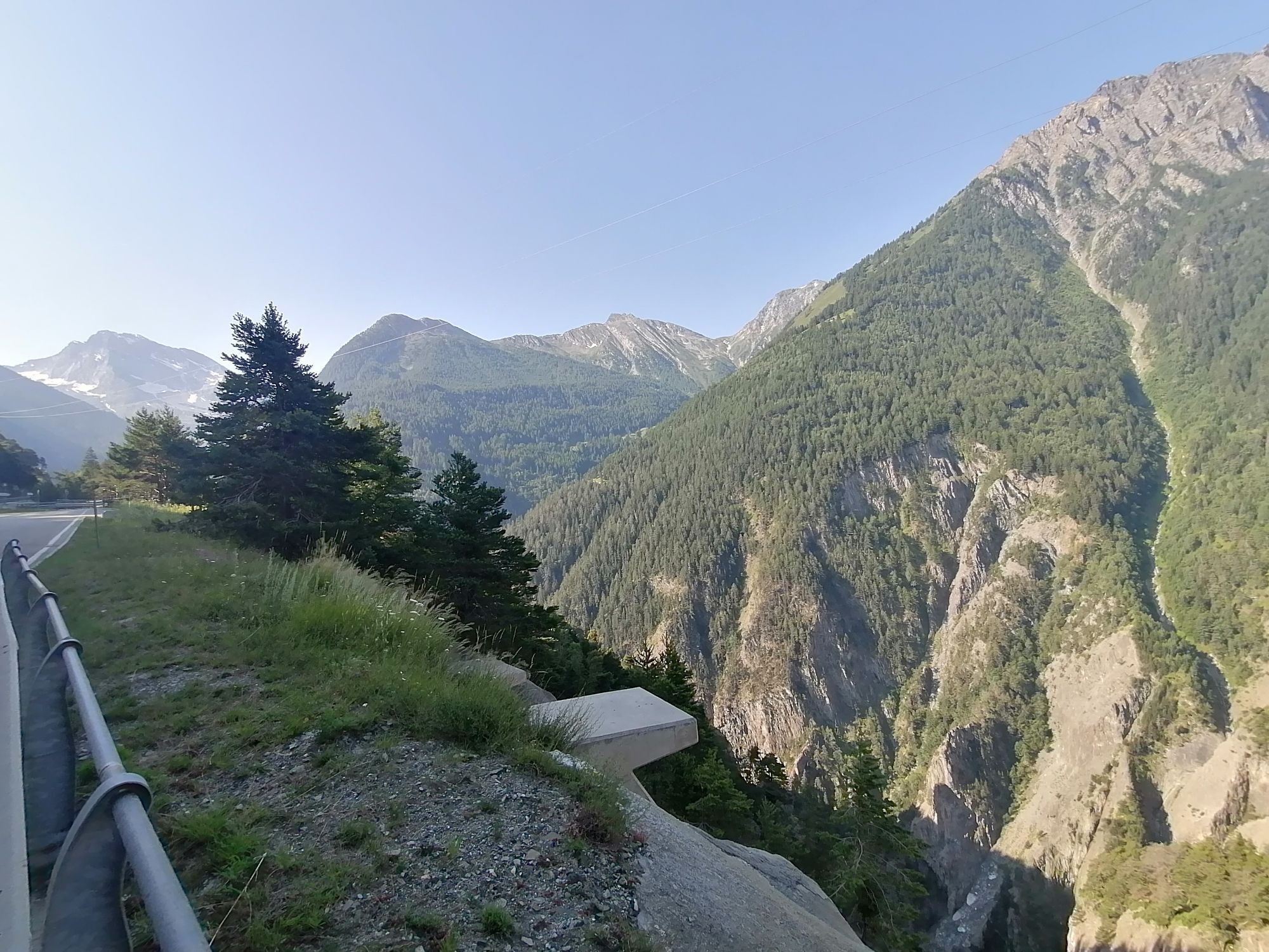
 © manny mVytvorené dňa 29.06.2025
 -
 © manny mVytvorené dňa 29.06.2025
 -
 © manny mVytvorené dňa 29.06.2025
 -
 © manny mVytvorené dňa 29.06.2025
 -
 © Jurgen AmelinckxVytvorené dňa 11.05.2025
 -
 © peter_oeVytvorené dňa 02.09.2024
 -
 © luyyyVytvorené dňa 19.07.2024


The Stockalper Route is one of the 12 Cultural Routes of national interest in Switzerland following the traces of the trade route created by Baron Kaspar Jodok Stockalper.
Great businessman, entrepreneur...
The Stockalper Route is one of the 12 Cultural Routes of national interest in Switzerland following the traces of the trade route created by Baron Kaspar Jodok Stockalper.
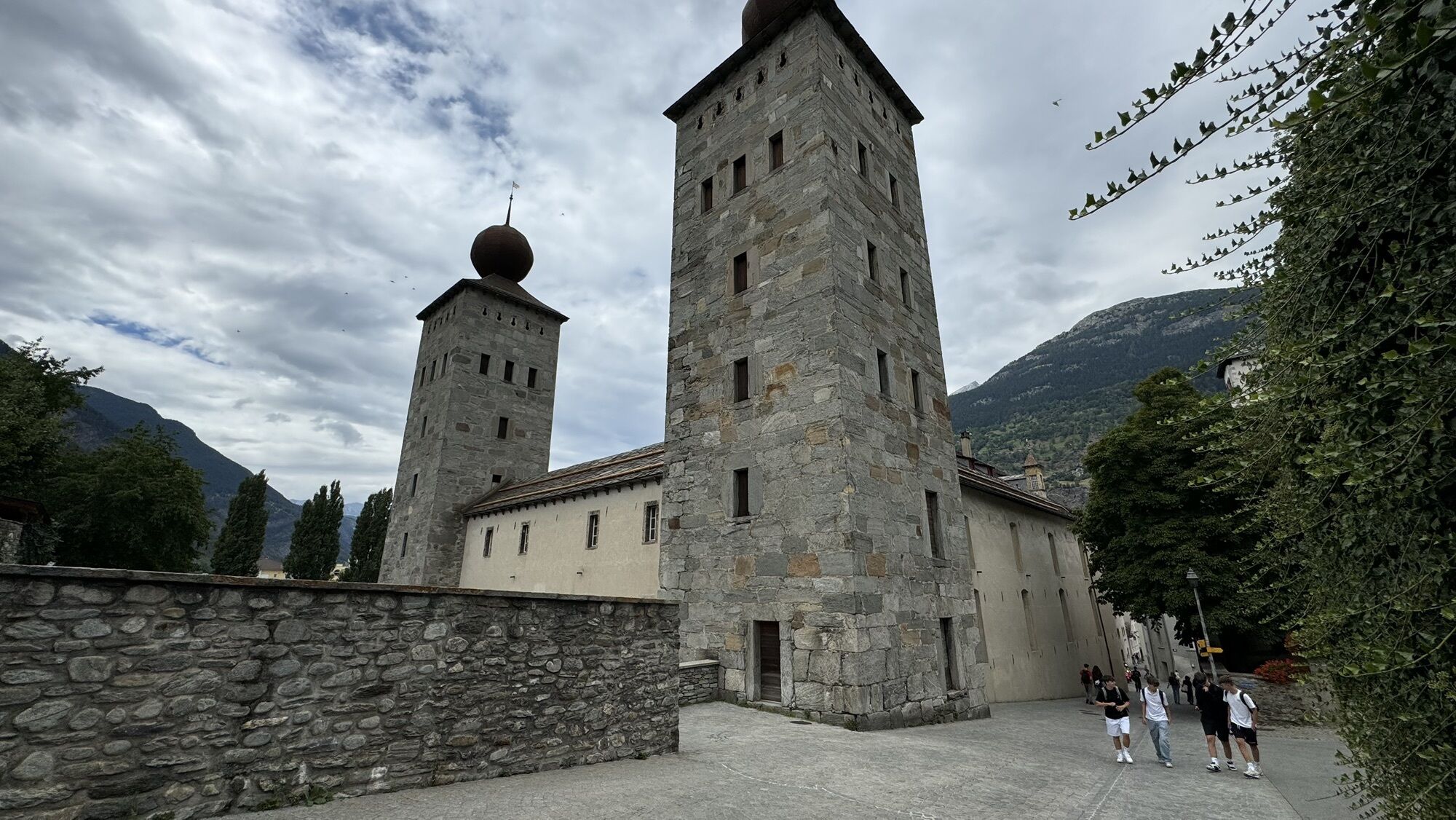
Great businessman, entrepreneur and politician from Valais in the 17th century, Stockalper, by modernizing the ancient salt route through the Simplon Pass with bridges and shelters to allow goods caravans to pass even in winter, started a commercial network between Italy and the markets of France, so profitable as to earn the nickname "King of the Simplon". From his magnificent Brig Castle he controlled trade with Antwerp, Paris and the Channel ports to the north and with Milan to the south.
Kaspar Jodock Stockalper was born in Brig in 1609 into an already very wealthy family of probable Italian origins. His wealth allowed him to travel throughout Europe and thus begin to create the basis on which to set up his future businesses. He owned all the mines in Valais and employed a total of around 5,000 men. His continued successes earned him the envy of the Valais nobles. Having fallen into political disgrace in his country, he took refuge in voluntary exile in Domodossola where he was received with all honors and lived for a few years at the Sacro Monte Calvario in Domodossola, also contributing financially to the creation of the rich artistic heritage. After five years of exile he returned to his homeland in 1685, after the death of one of his political opponents, and found his popularity still unchanged. He died in 1691 at 82 years old; his remains rest in the church of Glis, near Brig.
Following the same route, in 1805 Napoleon built the first carriage road in the Alps to move his army and armaments through the Simplon Pass. An ancient communication and trade route passed through the Monscera Pass between the Val d'Ossola and the Canton of Valais, used by the Valais troops who descended to conquer the Ossola and through which Pope Gregory in the autumn of 1275.

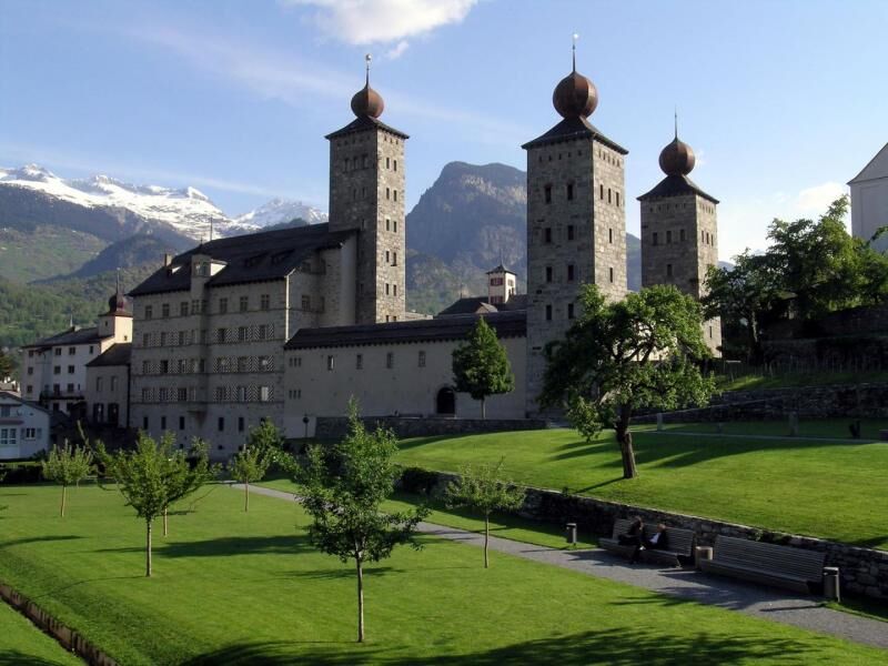
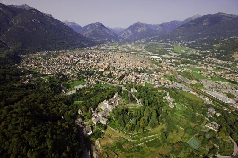
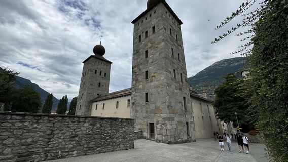
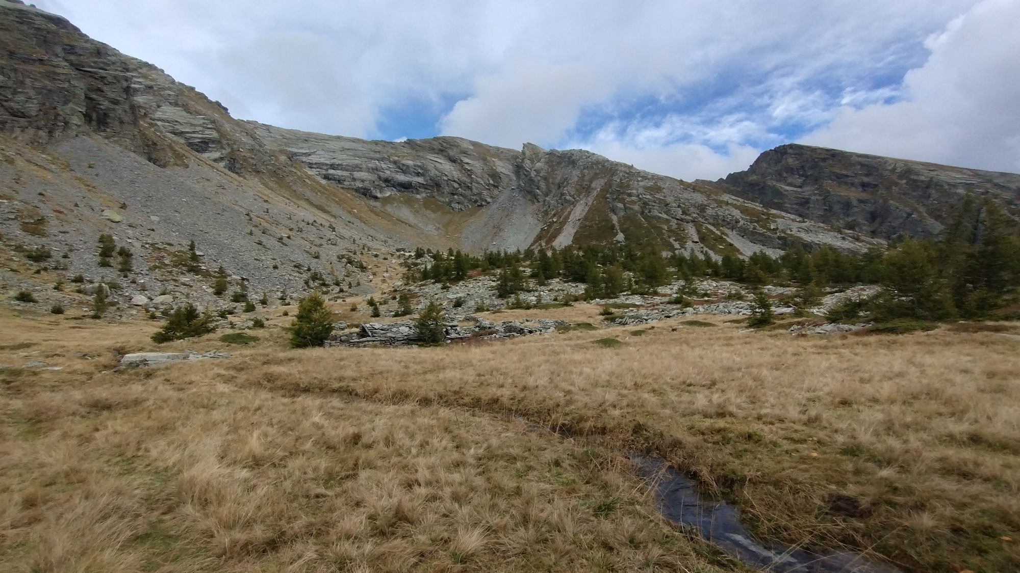
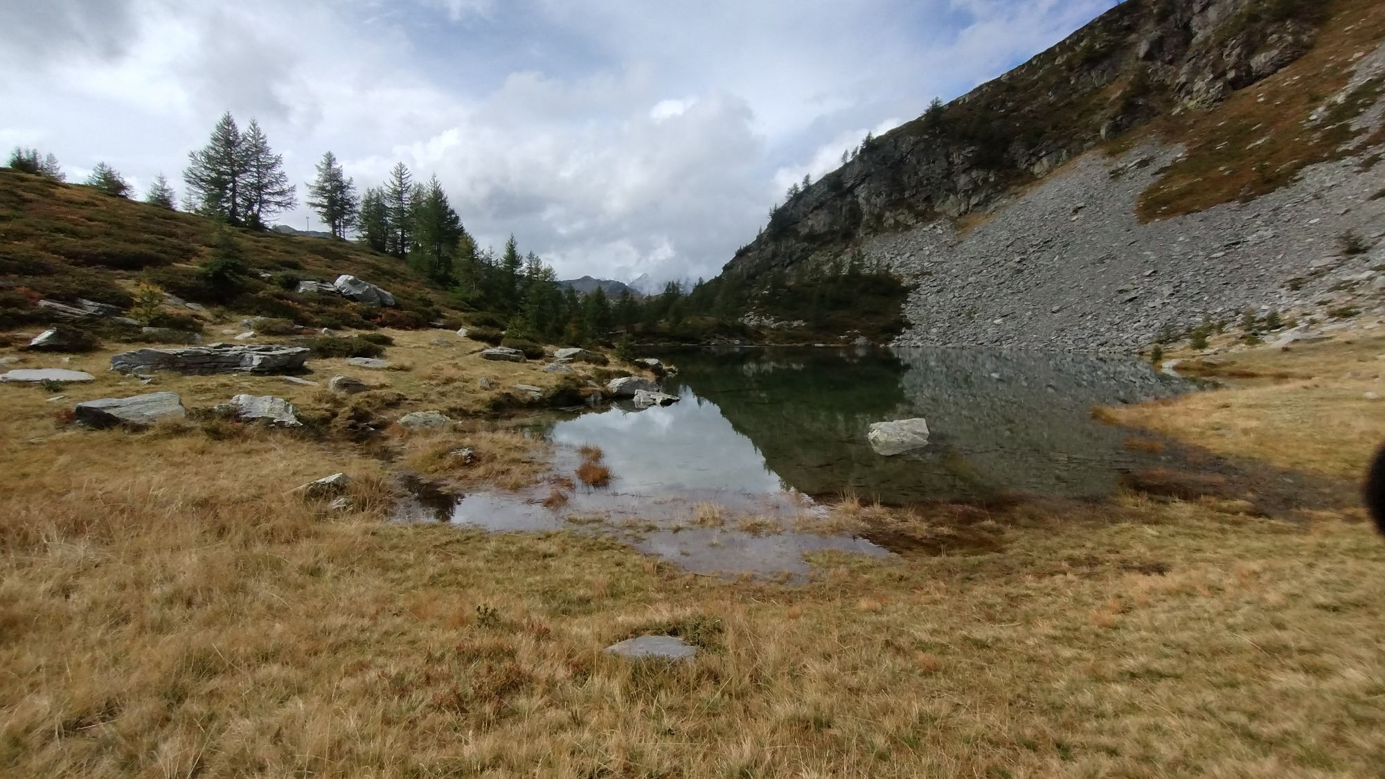
Historic centre of Briga, Historic centre of Domodossola, SacredMount Calvariy in Domodossola (UNESCO World Heritage Site), the Sempione Ecomuseum (Stockalper Castle in Briga, the lodge at Sempione Village, the Napoleonic barracks, the fort at the Gondo gorge and the Gold Museum in Gondo), Napoleonic hospice of Sempione now managed by the canons of the Congregation of Gran San Bernardo, Gondo gorge, lakes and peatbogs in upper Val Bognanco, Church of San Lorenzo (Bognanco), Bognanco Fonti and Spa Centre, villages of Val Bognanco, stone bridge and gorge of Dagliano, Church and wine press of Monteossolano, village of Cisore, Parish church of Vagna, traditional rural architecture
Webové kamery z prehliadky
-
Blatten / Blattnerhof
-
Rothwald Wasenalp
-
Rothwald Wasenalp
-
Termen
-
Simplon Pass
-
Simplon Dorf
-
Simplon Dorf
-
Simplon Dorf
-
Rothwald Wasenalp
-
Bognanco Fonti
-
Bognanco San Lorenzo
-
Alpe il Laghetto
-
Alpe il Laghetto
-
Rothwald
-
Rosswald
-
Stockalperschloss
-
Rosswald
-
Rosswald
-
Rosswald
-
Rosswald
-
Rosswald
-
Simplon Hospiz
Obľúbené výlety v okolí
-
5,0
Weissmies Südgrat von Saas Almagell
strednáVysoké turné 20,5 km -
5,0
Via ferrata Jägihorn
ťažkéVia ferrata 6,14 km -
5,0
San Domenico - Alpe Veglia - San Domenico Rundwanderung
strednáTuristika 13,9 km -
Simplon-Staldenhorn- Simplon
strednáTuristika 8,27 km -
Simplon Hospiz - Spitzhorli
strednáTuristika 13,4 km -
Drei Seen-Wanderung
strednáTuristika 15,1 km -
5,0
Iselle - Rifugio Crosta - Varzo
strednáE-MTB 31,9 km -
Ciaspolata al Cavallo di Ro
svetloSnežnice 5,25 km -
Domodossola le Quartine
strednáTuristika 47,4 km -
Goldtoni - Alpenbogen A130 Lago di Camposecco-Rifugio Alpe il Laghetto
ťažkédiaľková pešia trasa 17,0 km
Turistika a stopovanie


Nenechajte si ujsť ponuky a inšpiráciu na ďalšiu dovolenku
Vaša e-mailová adresa bol pridaný do poštového zoznamu.