






Hike from Schwägalp over Gössigenhöchi to Ennetbühl
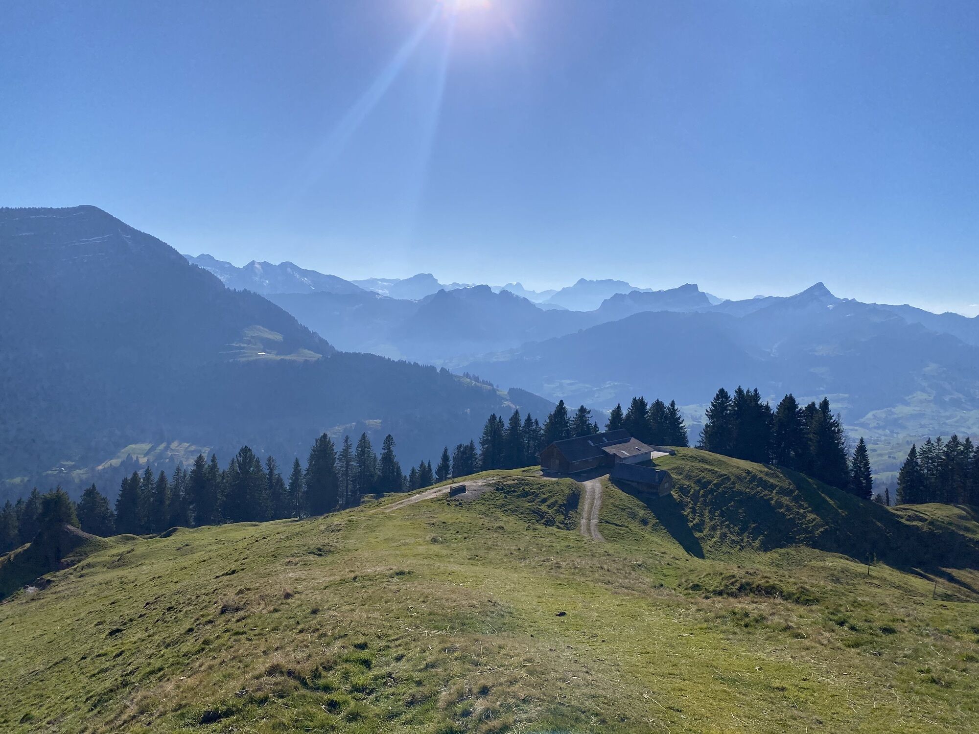
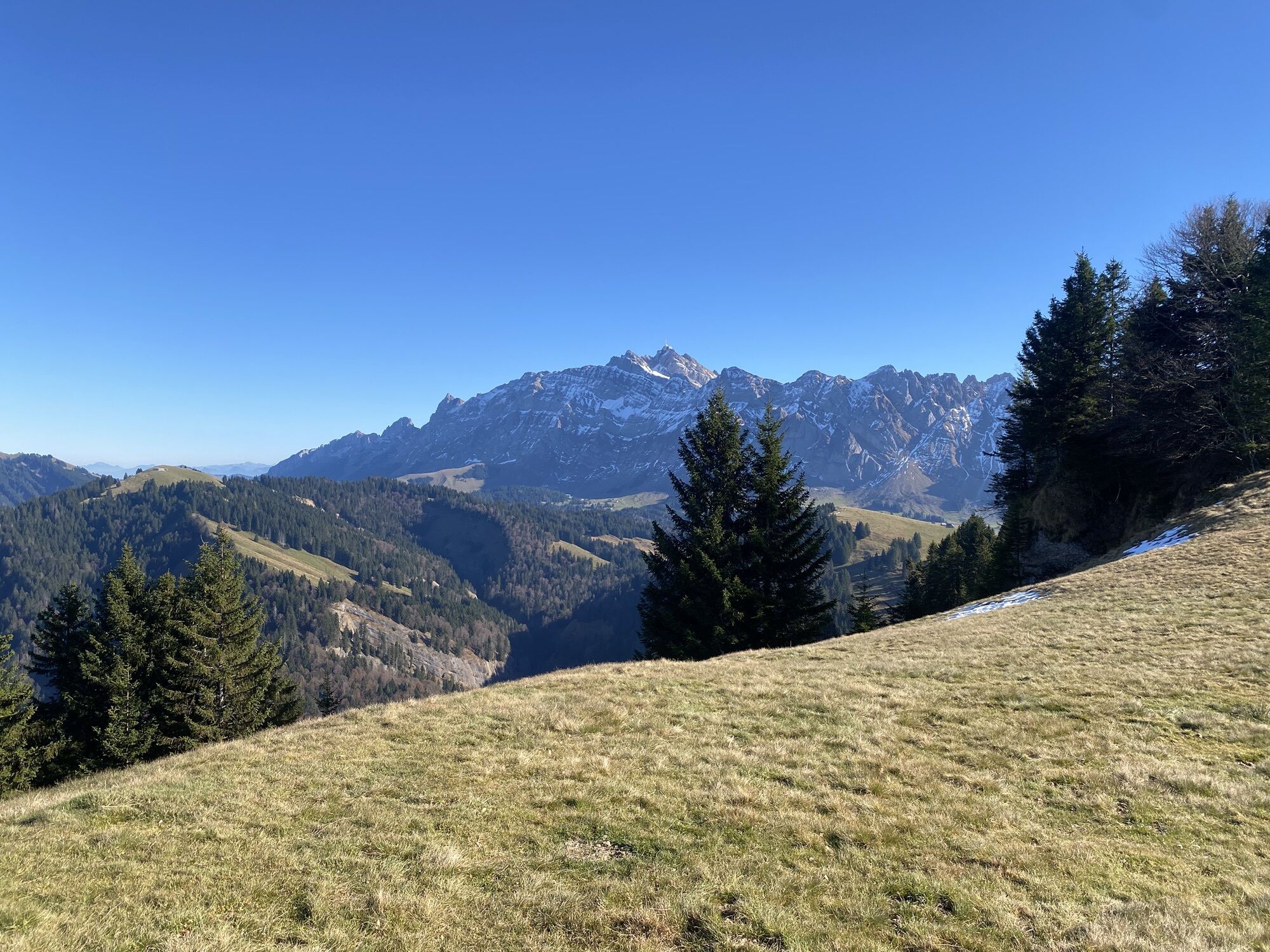
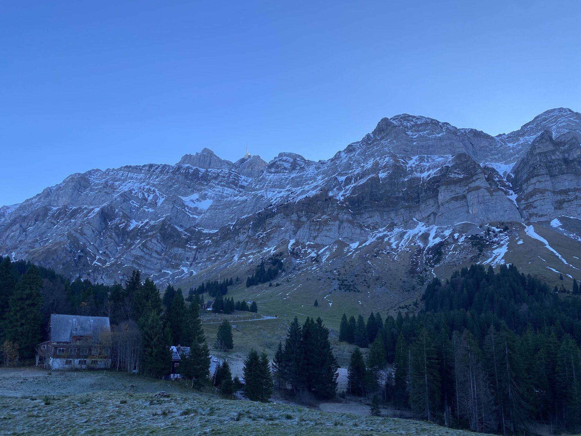
This high-altitude hike leads from Schwägalp over quiet, hilly alpine pastures to the viewpoint Gössigenhöchi (1436 m above sea level) above the Luterental valley. From there, the path gently descends...
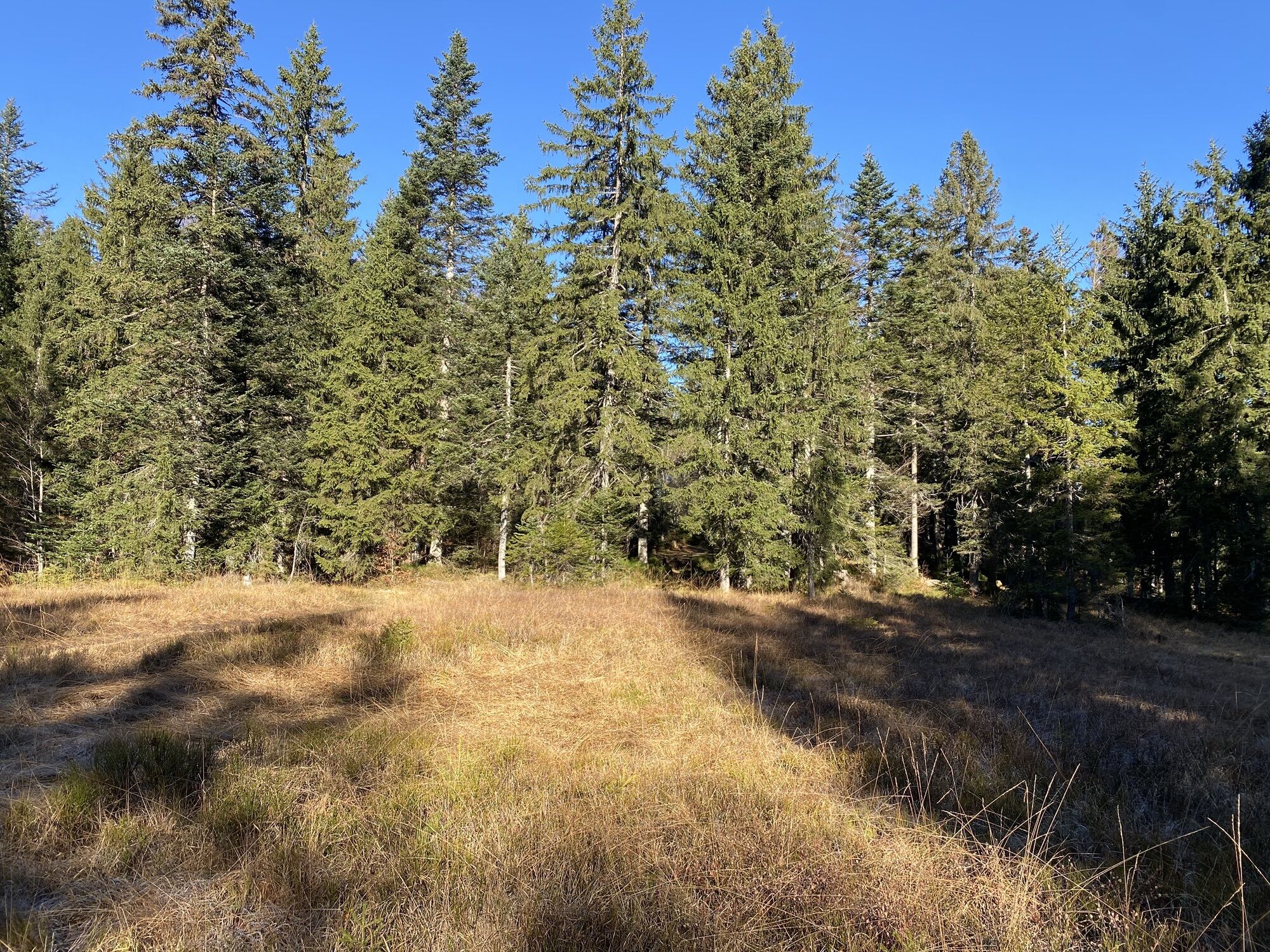
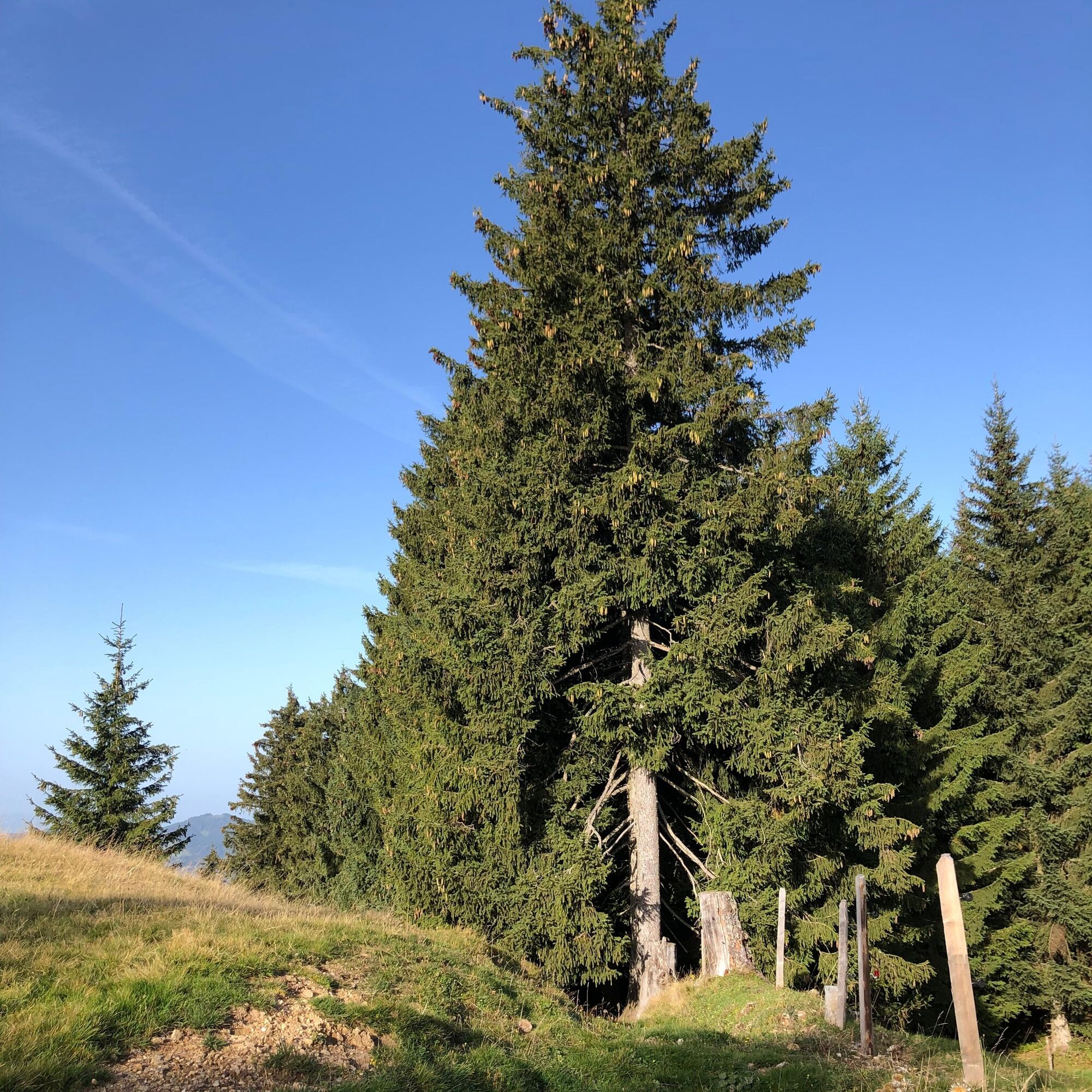
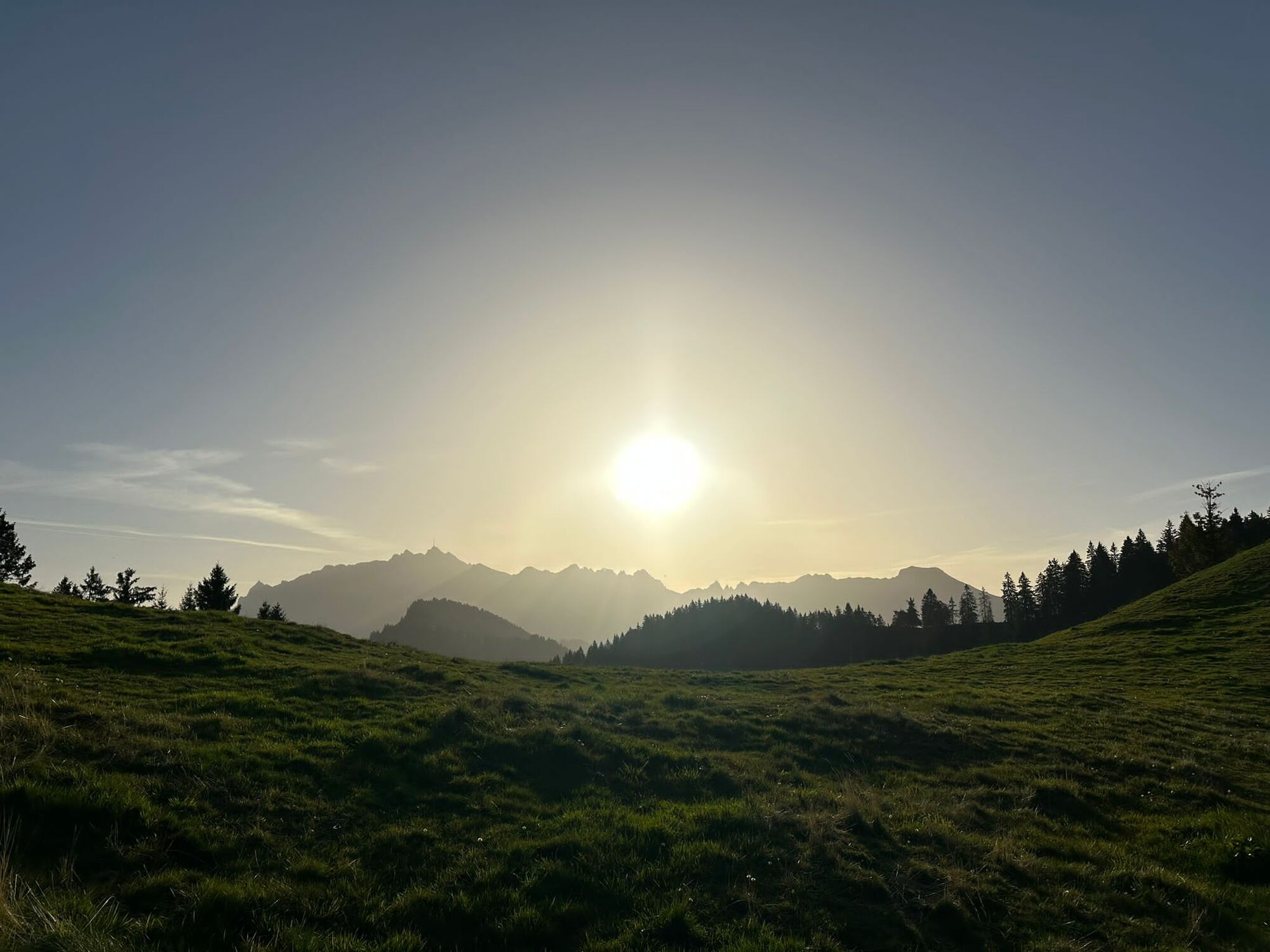
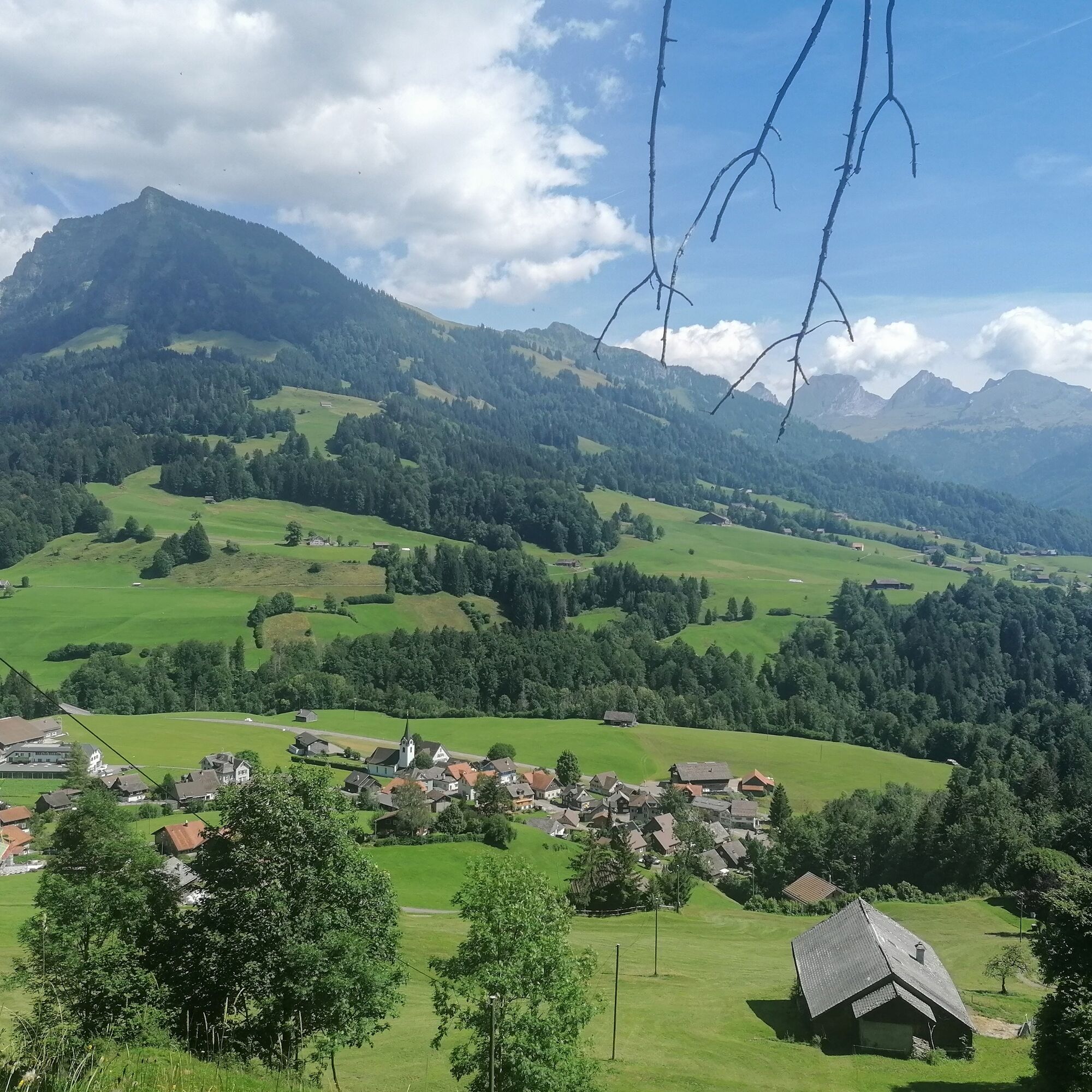
This high-altitude hike leads from Schwägalp over quiet, hilly alpine pastures to the viewpoint Gössigenhöchi (1436 m above sea level) above the Luterental valley. From there, the path gently descends over soft forest floor until it branches, and we go right towards Vordere Chlosteralp, Gössigen. The path leads directly down into the village of Ennetbühl, where a stop for refreshment beckons and you can board the post bus. The hiking trails are rarely frequented, and the landscape, especially between Gössigenhöchi and Ennetbühl with century-old sycamore maples on a landslide area, is impressive. The view of the surrounding mountain world with Säntis, Churfirsten and Speer is magnificent.

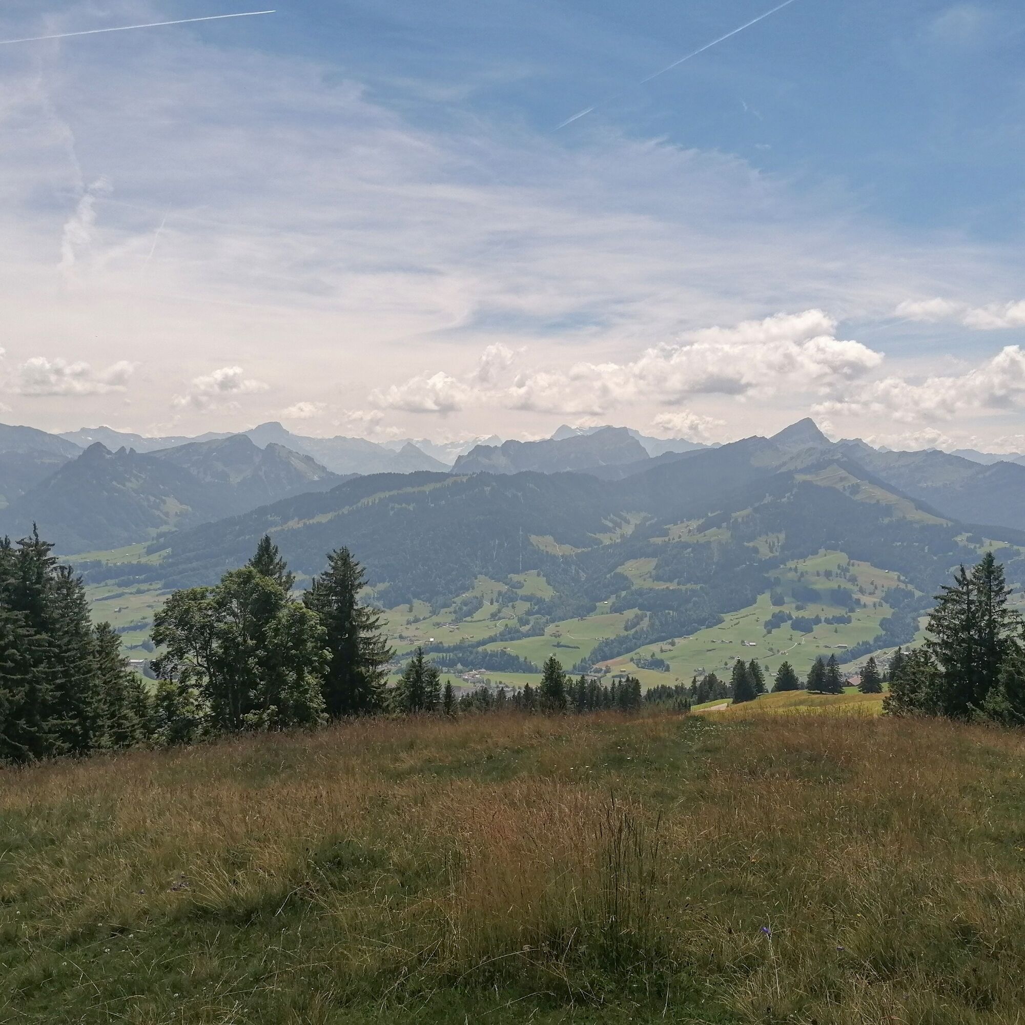
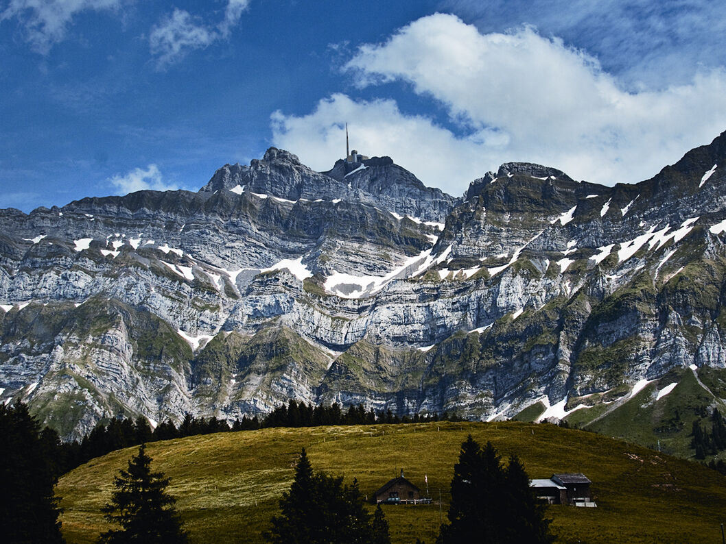
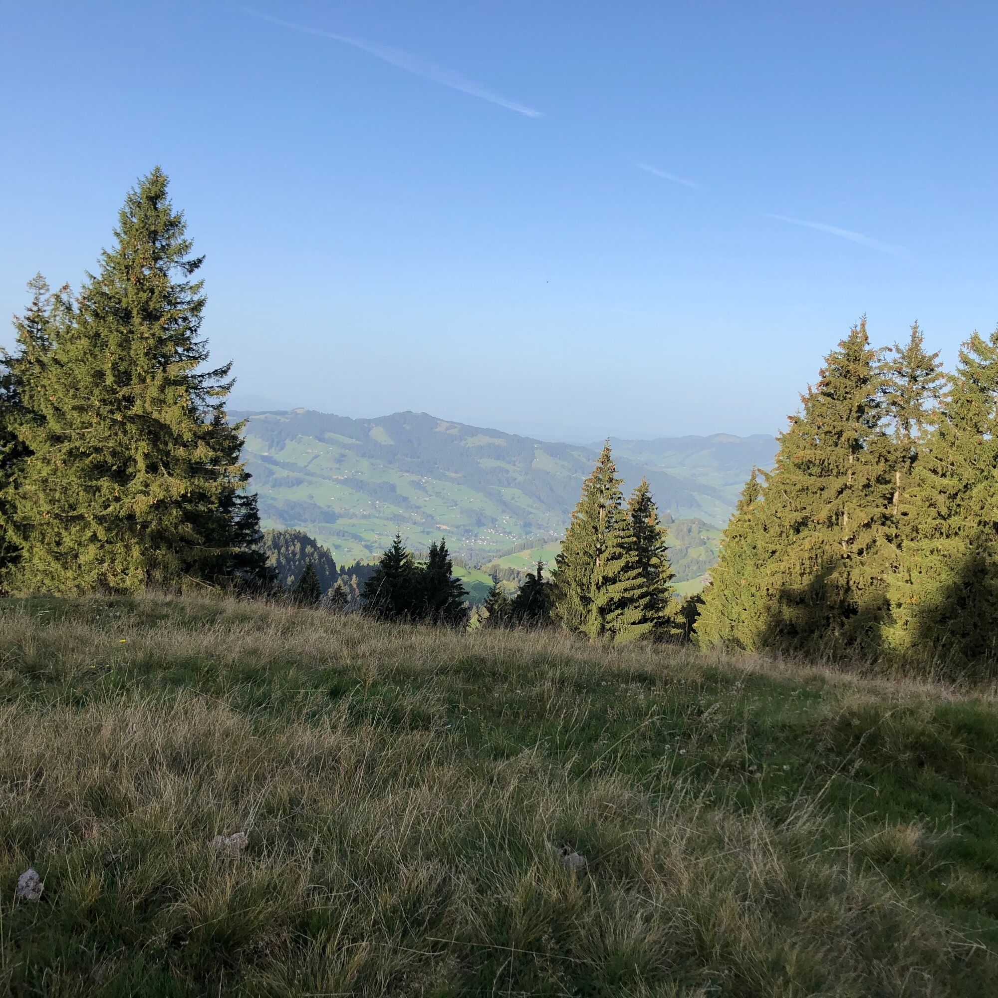
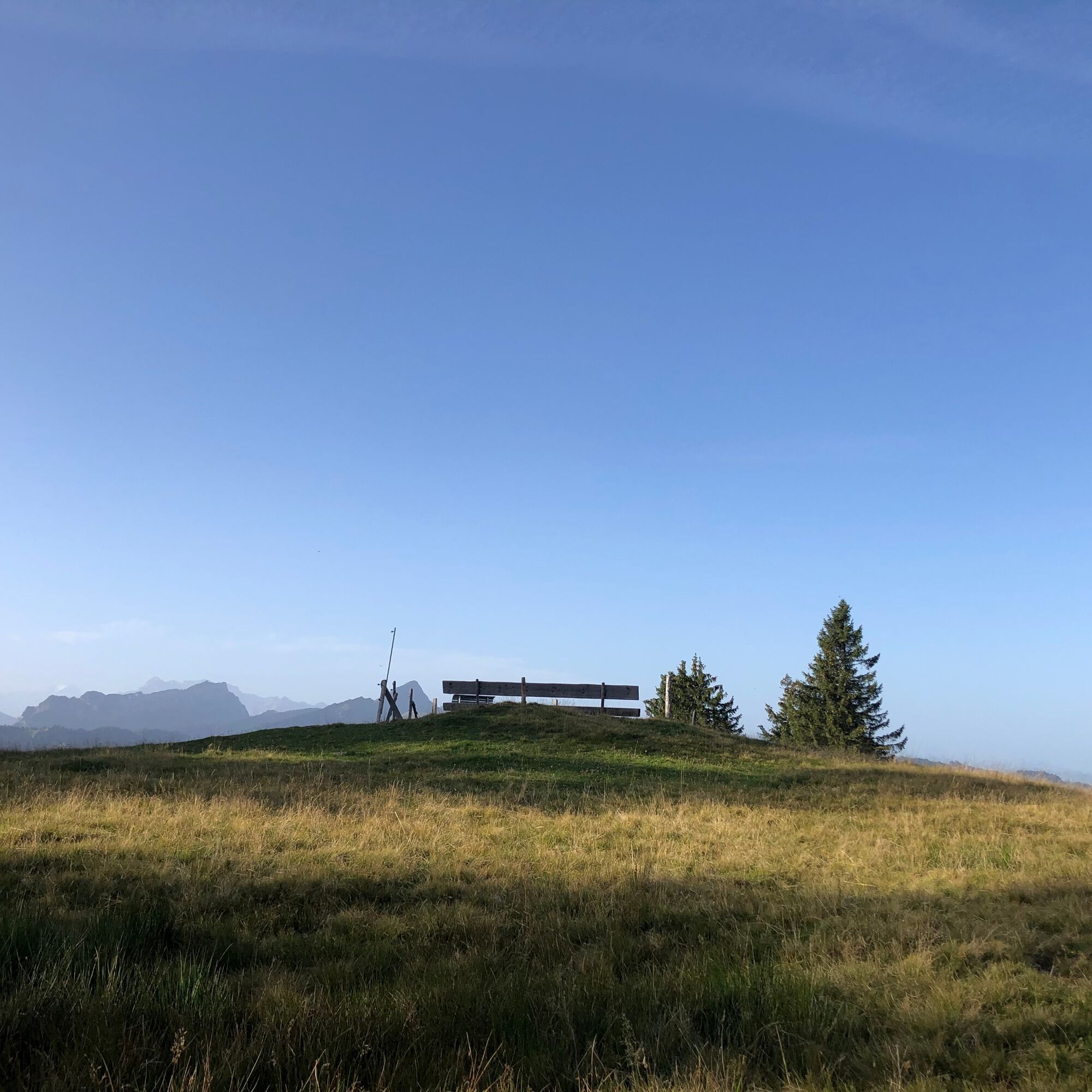

Schwägalp - Gössigenhöchi - Vordere Chlosteralp - Gössigen - Ennetbühl
Day hiking backpack (approx. 20 liters) with rain cover, sturdy and comfortable footwear, weather-appropriate and durable clothing in layers, if needed telescopic poles, sun and rain protection, provisions and drinking water, first aid kit, pocket knife, mobile phone, if needed headlamp, map material
During the alpine season, cattle graze here. Always close fences and keep away from mother cows.
- From the Greater Zurich area and Central Switzerland:
On the A3 at Reichenburg towards Rapperswil and then over the Ricken Pass to Nesslau. Turn left in Nesslau towards Schwägalp.
- From Eastern Switzerland:
From St. Gallen, take the A1 to Wil, take the Toggenburg exit. Follow the main road to Nesslau. Turn left in Nesslau towards Schwägalp.
- From southern Germany:
Via Bregenz and St. Margrethen on the A13 to Haag and take the exit towards Toggenburg/Wildhaus. Or via Konstanz to Wil, then take the Toggenburg exit and follow the main road to Nesslau. Turn left in Nesslau towards Schwägalp.
Take the train to Nesslau station and from there the post bus to the Schwägalp stop.
More detailed information can be found at https://www.sbb.ch/de.
There are parking spaces available at Schwägalp.
Toggenburg Tourism
Hauptstrasse 104
9658 Wildhaus
071 999 99 11
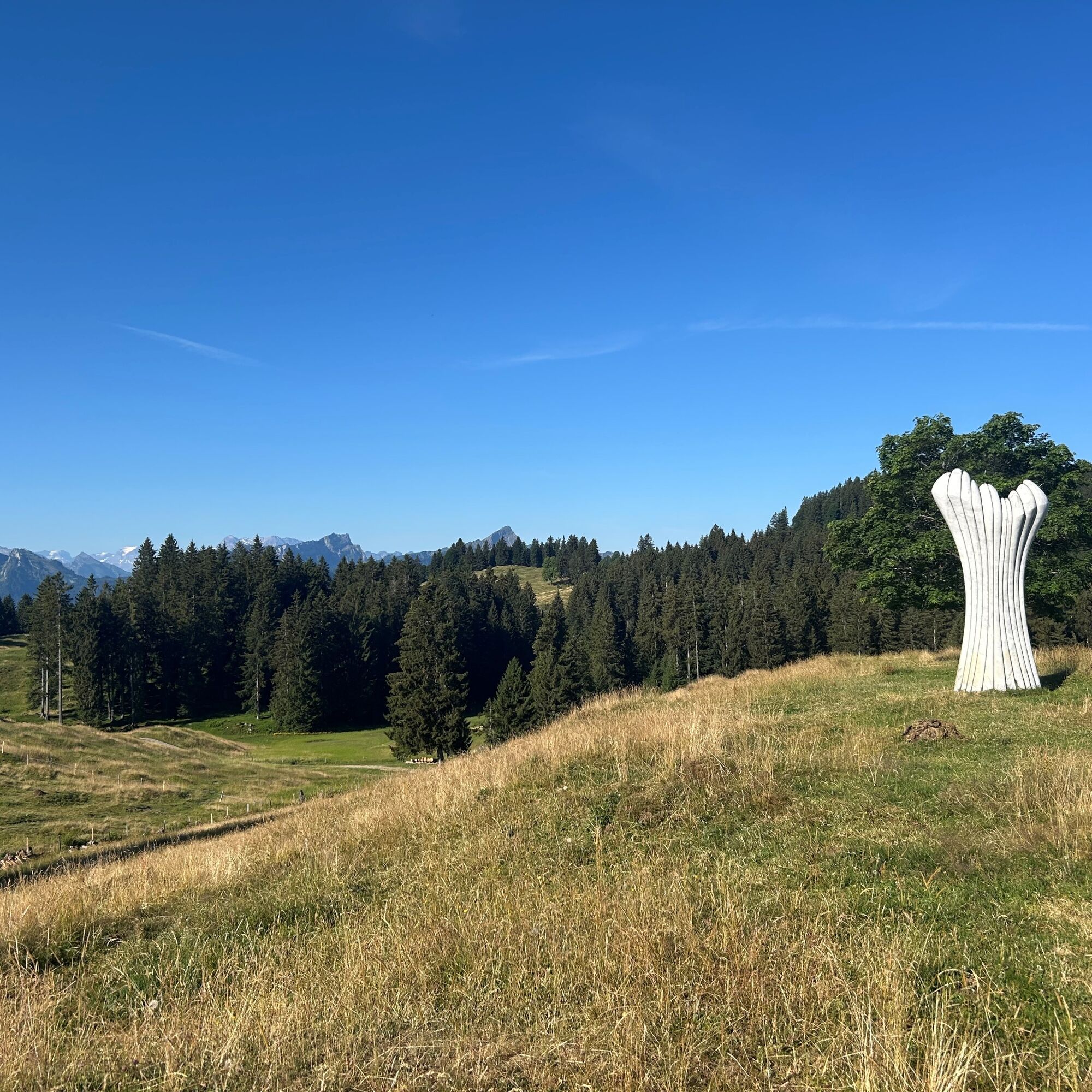
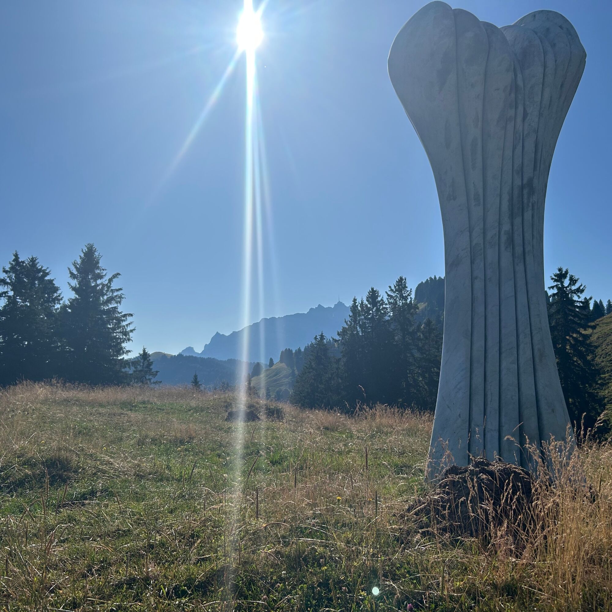
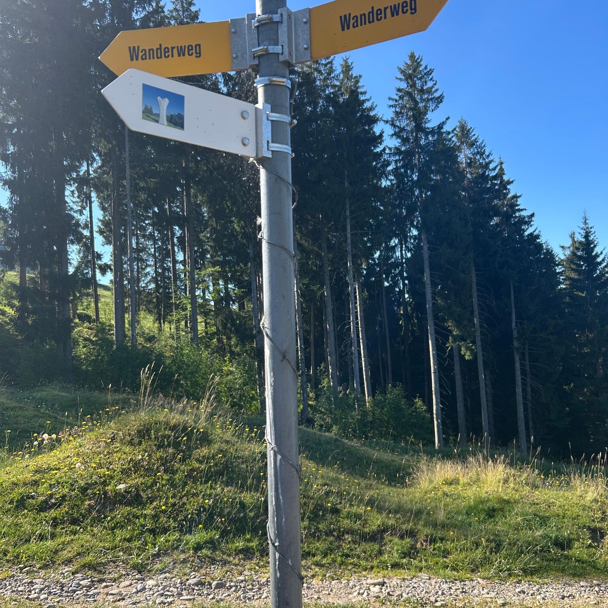
Those who have enough time make a detour towards Hintere Chlosteralp-Schwägalp. A brown signpost points the way to the Chabissenstein, a four-meter-high marble sculpture in the middle of the alp.
Získajte prehľad
Vždy naživo na mieste s viac ako 9 500 webovými kamerami. bergfex Ako používateľ Pro si teraz môžete pozrieť príslušné webové kamery pre mnohé zájazdy v aplikácii zájazdy z. Môžete si tak priamo prezerať aktuálne podmienky.
Obľúbené výlety v okolí
-
4,8
Walensee Riviera Weesen - Quinten
strednáTuristika 10,2 km -
4,7
Riviera Lake Walen Walenstadt-Quinten
strednáTuristika 10,4 km -
4,6
Weesen - Quinten - Walenstadt
ťažkéTuristika 20,6 km -
5,0
Staubern-Runde (15.8.2021)
strednáTuristika 8,65 km -
4,9
Säntis-Gipfeltour, Wasserauen / Appenzell Innerrhoden
ťažkéTuristika 21,1 km -
4,7
Tour Brülisau - Saxerlücke - Hoherkasten⛰
ťažkéTuristika 16,6 km -
4,7
Wasserauen - Seealpsee - Wasserauen
strednáTuristika 7,71 km -
4,6
Säntis
strednáHorská turistika 17,5 km -
5,0
Schrina Alp and Cultural Trail
strednáTematická trasa 11,5 km -
4,8
2 Seenwanderung Sämtisersee und Fälensee
strednáTuristika 14,6 km
Turistika a stopovanie


Nenechajte si ujsť ponuky a inšpiráciu na ďalšiu dovolenku
Vaša e-mailová adresa bol pridaný do poštového zoznamu.





