





Hike on the Neckerweg

Úroveň náročnosti: T2
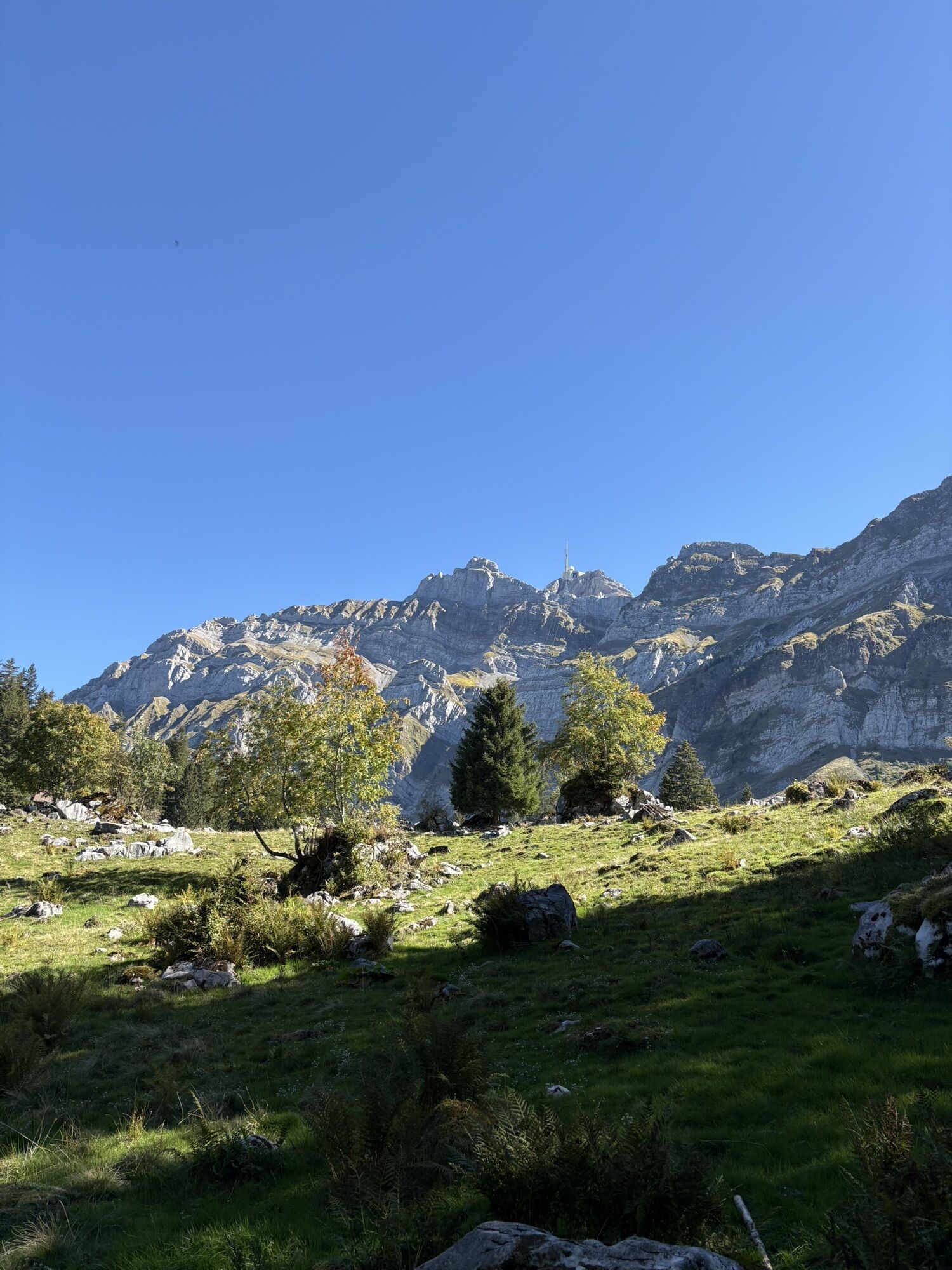
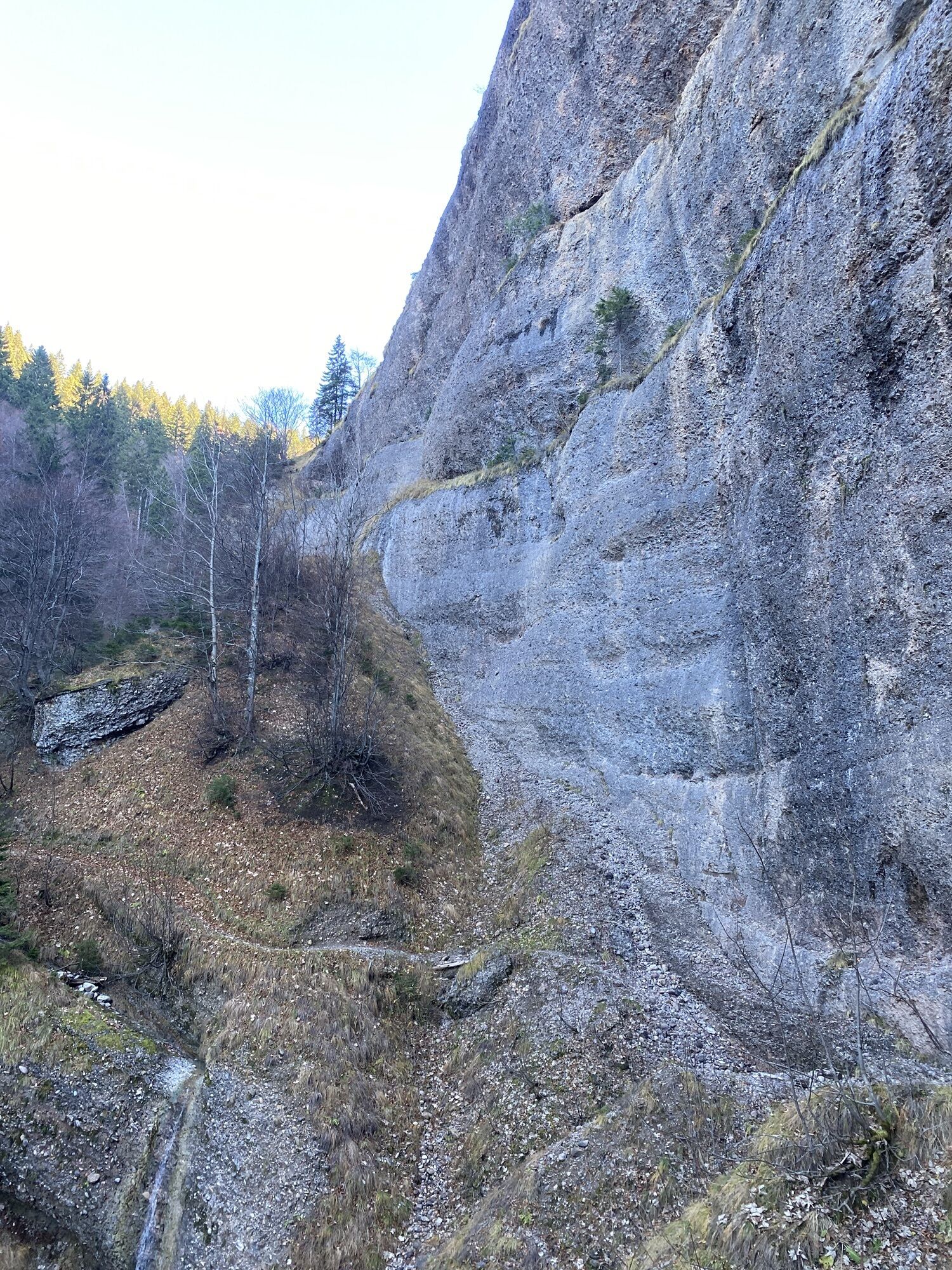
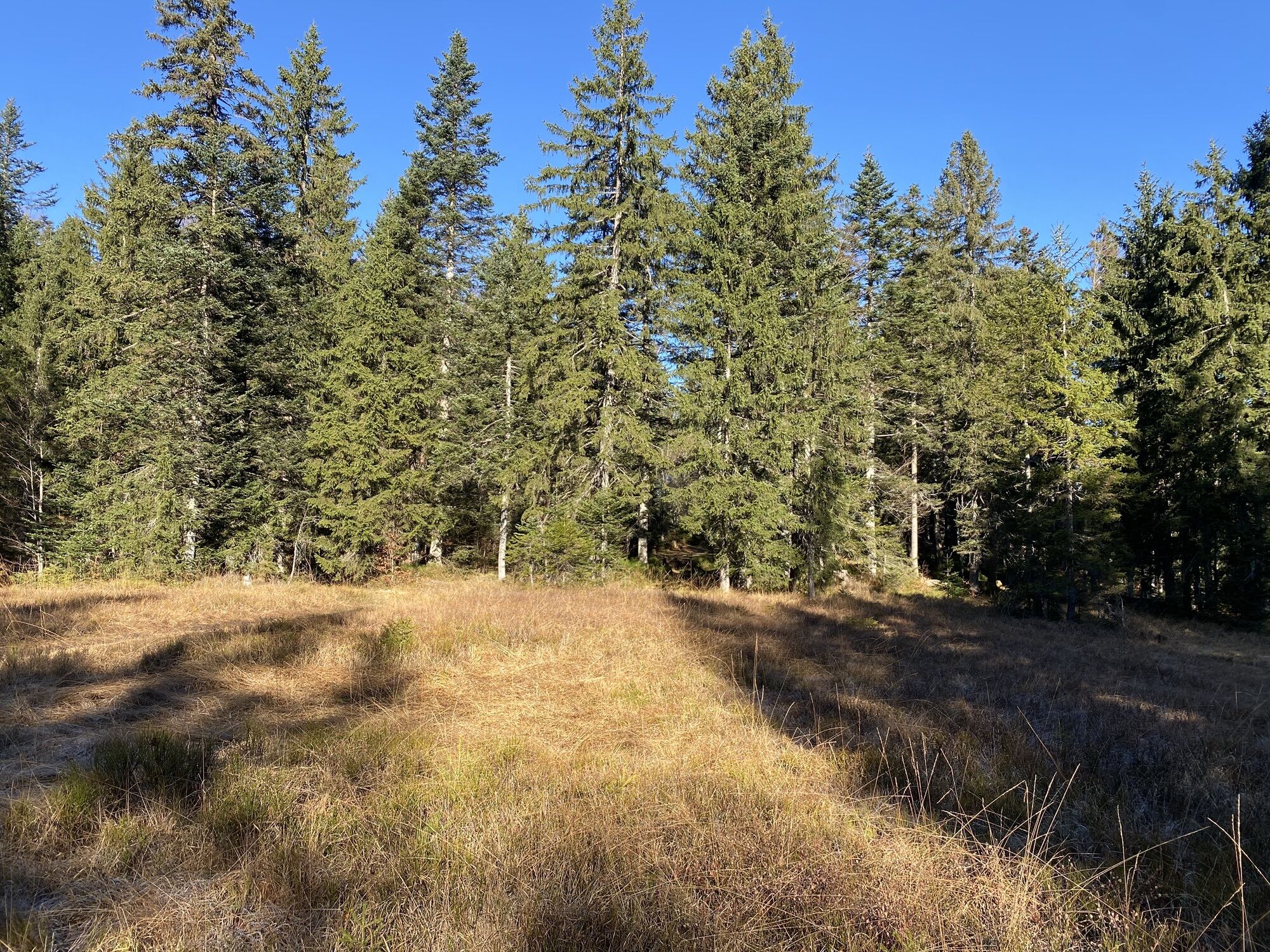
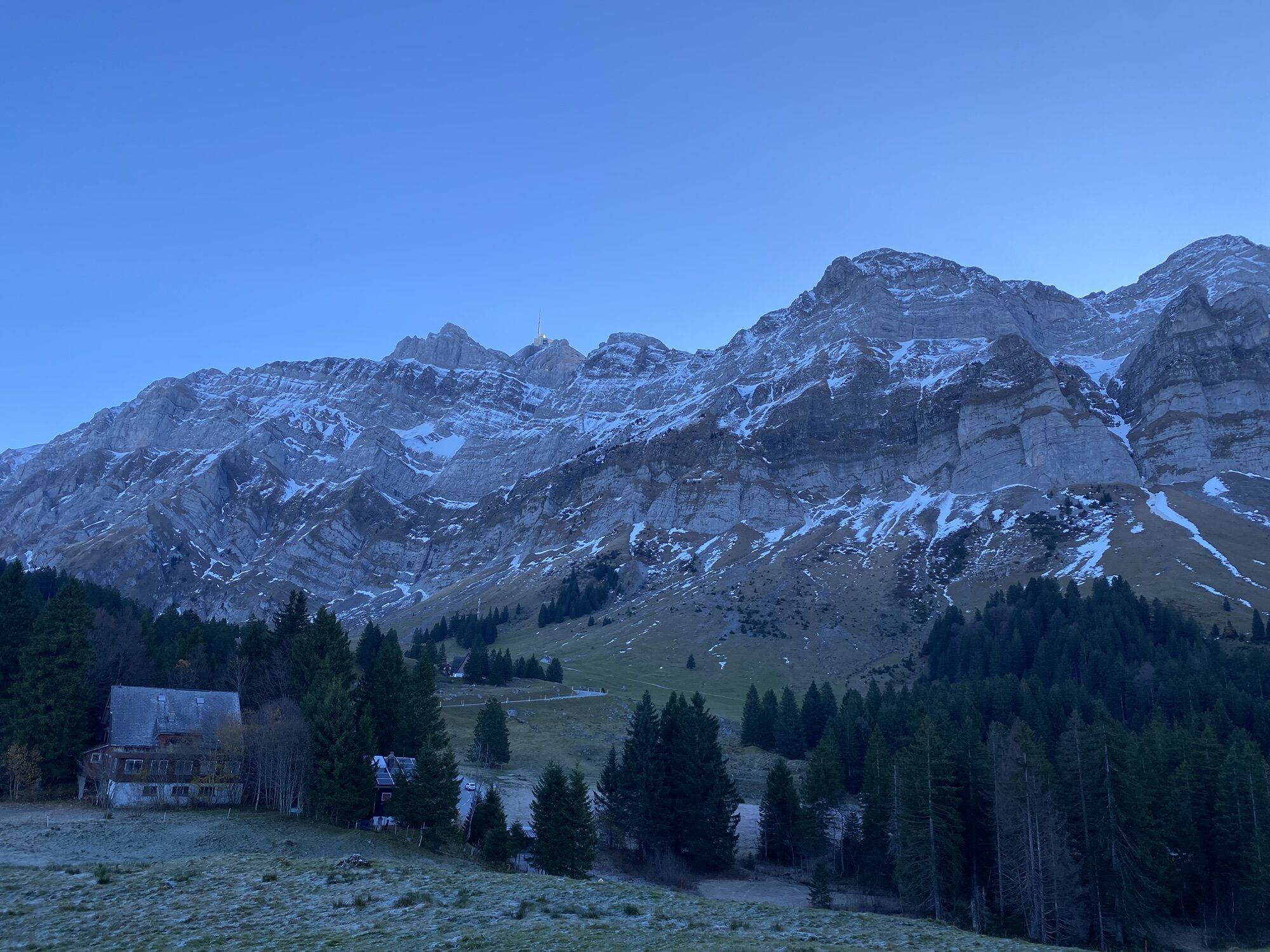
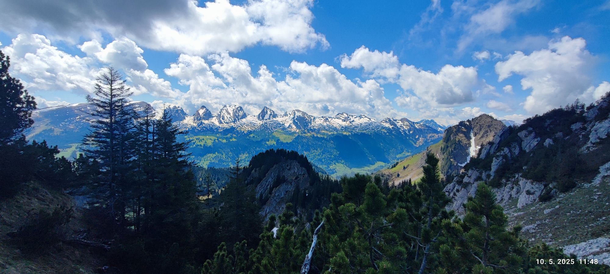
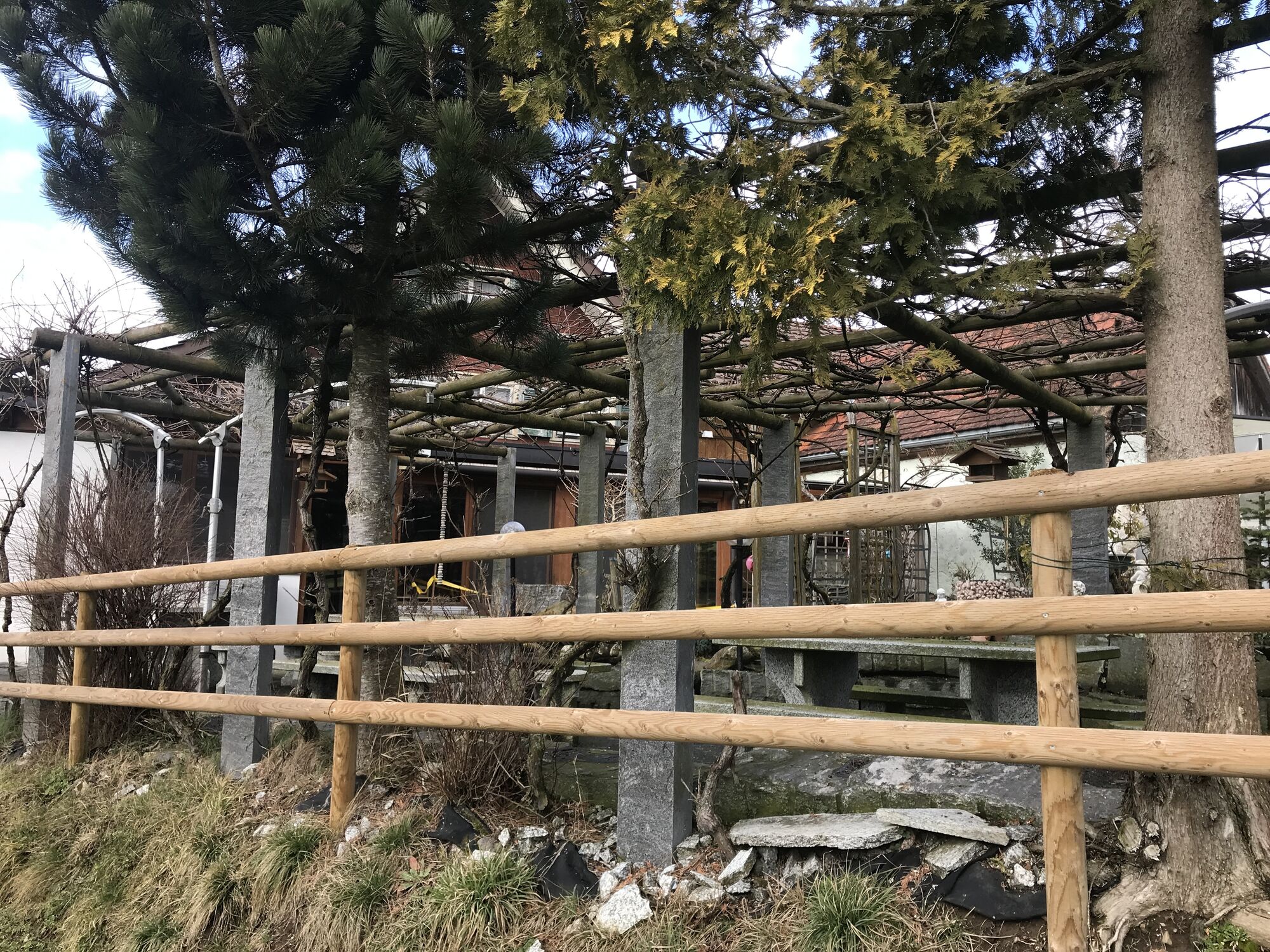
The Neckerweg stretches over around 38 kilometers and begins at the source of the Necker in Schwägalp. From here, the path leads through a varied landscape, offering a variety of surfaces, all the way...
The Neckerweg stretches over around 38 kilometers and begins at the source of the Necker in Schwägalp. From here, the path leads through a varied landscape, offering a variety of surfaces, all the way to Bazenheid. It is very well signposted and in some stages also doable with a stroller.

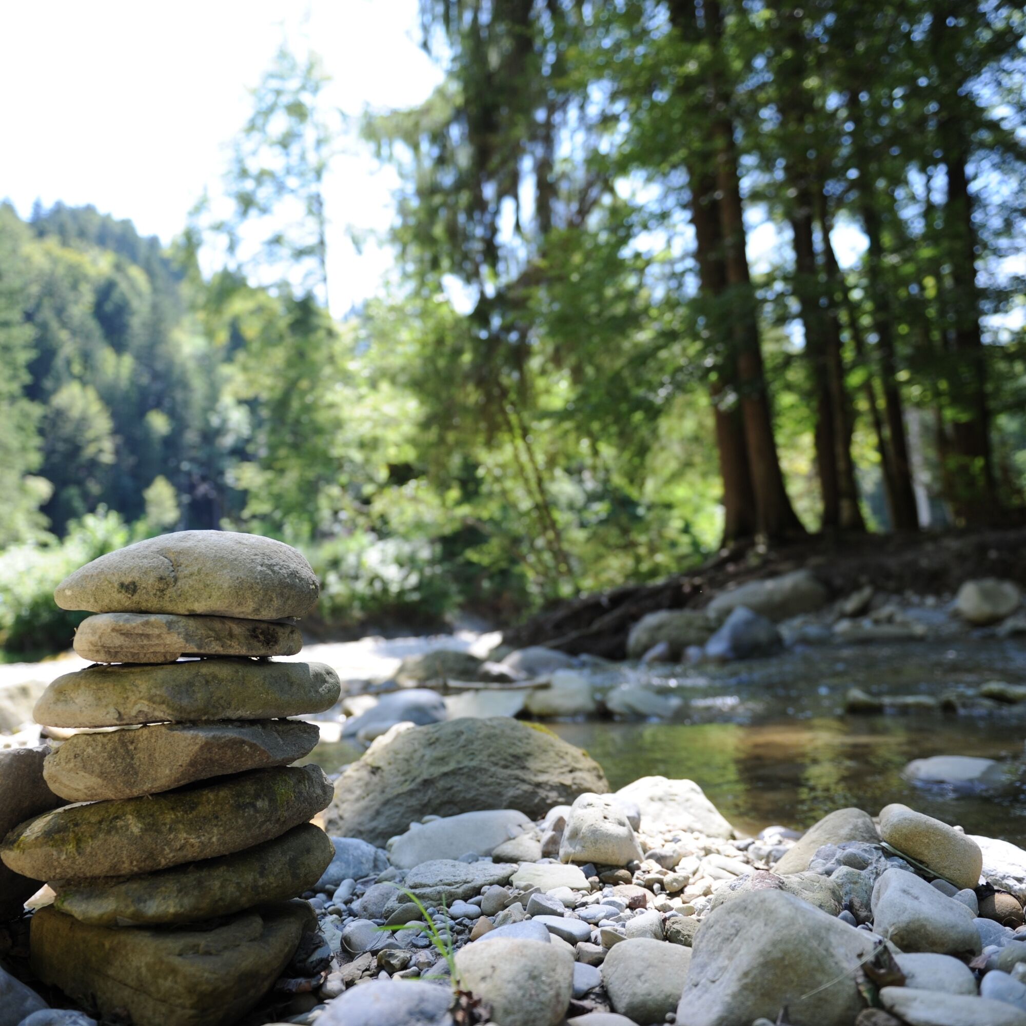
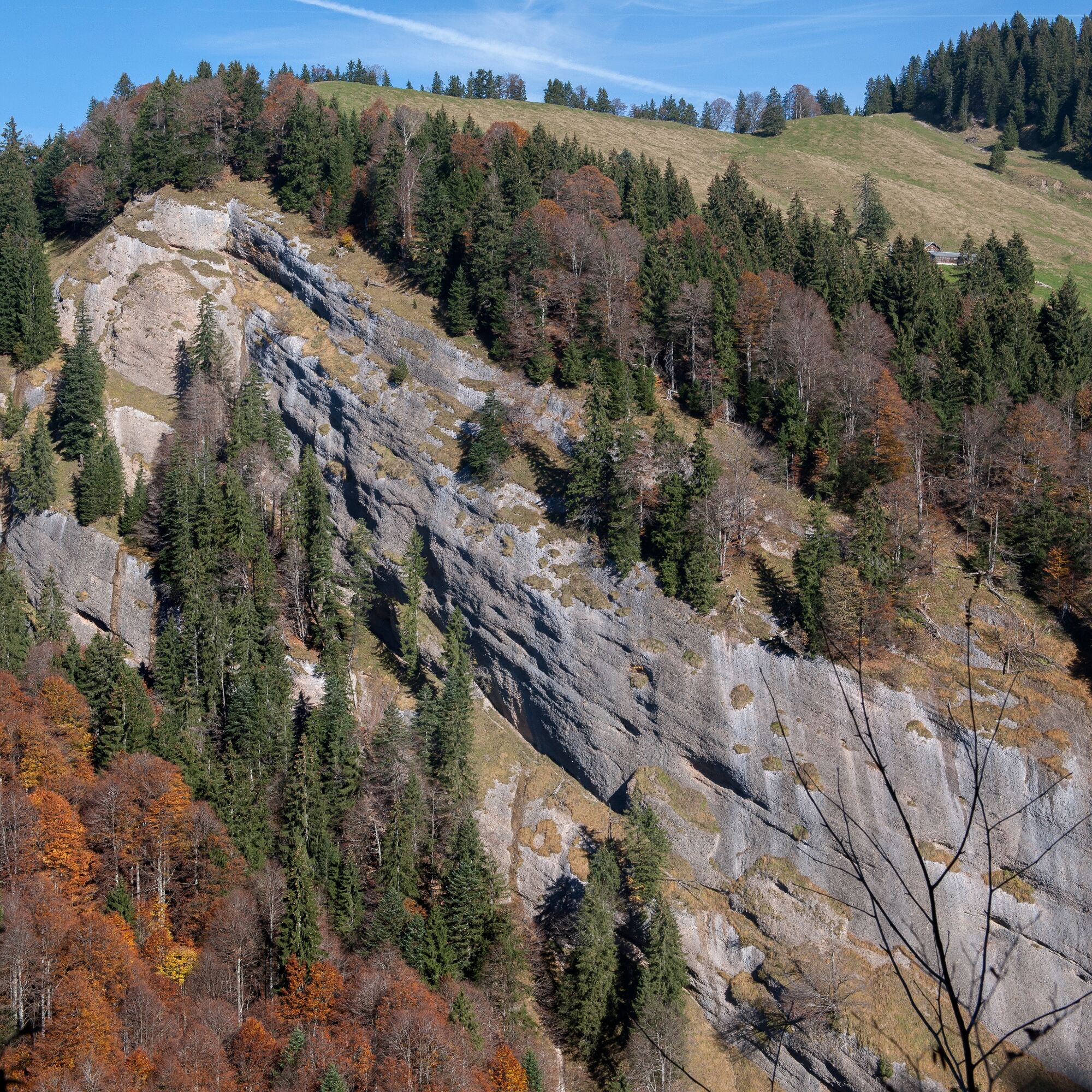
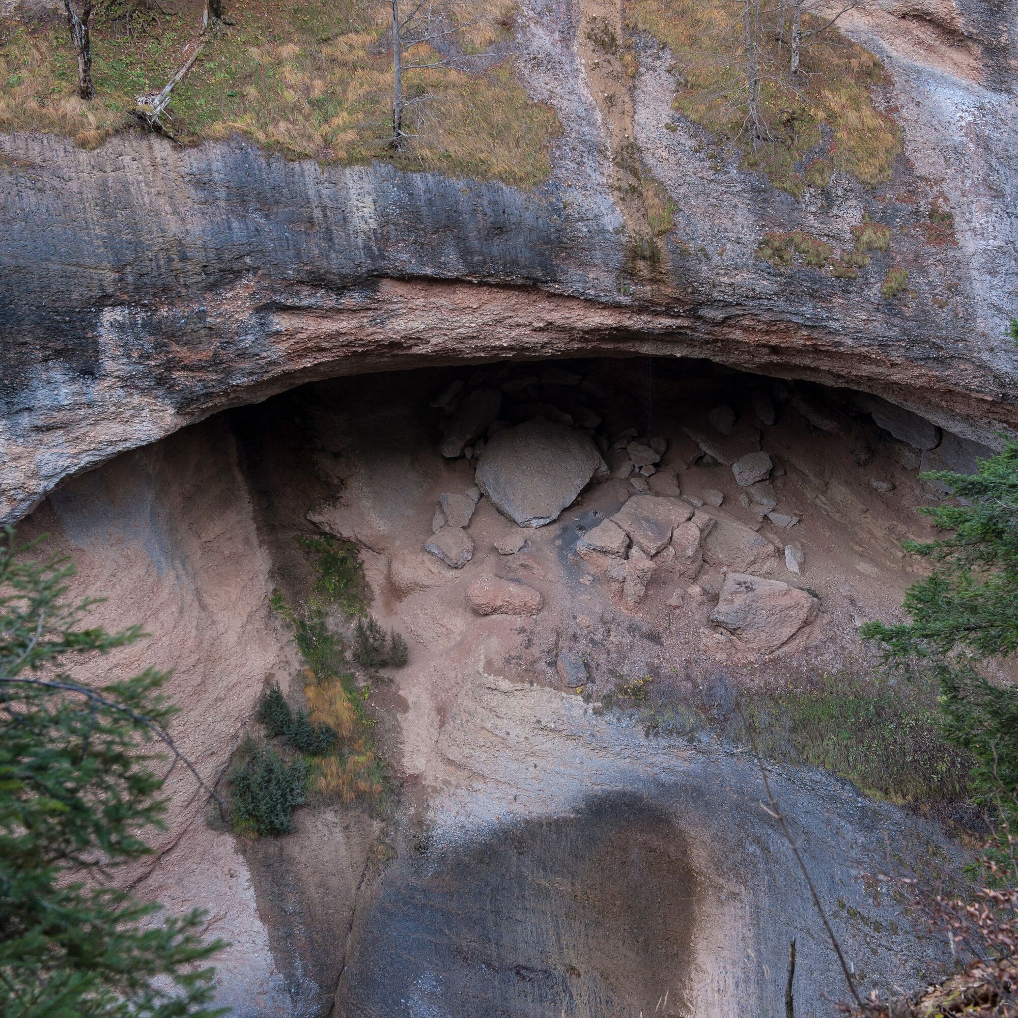
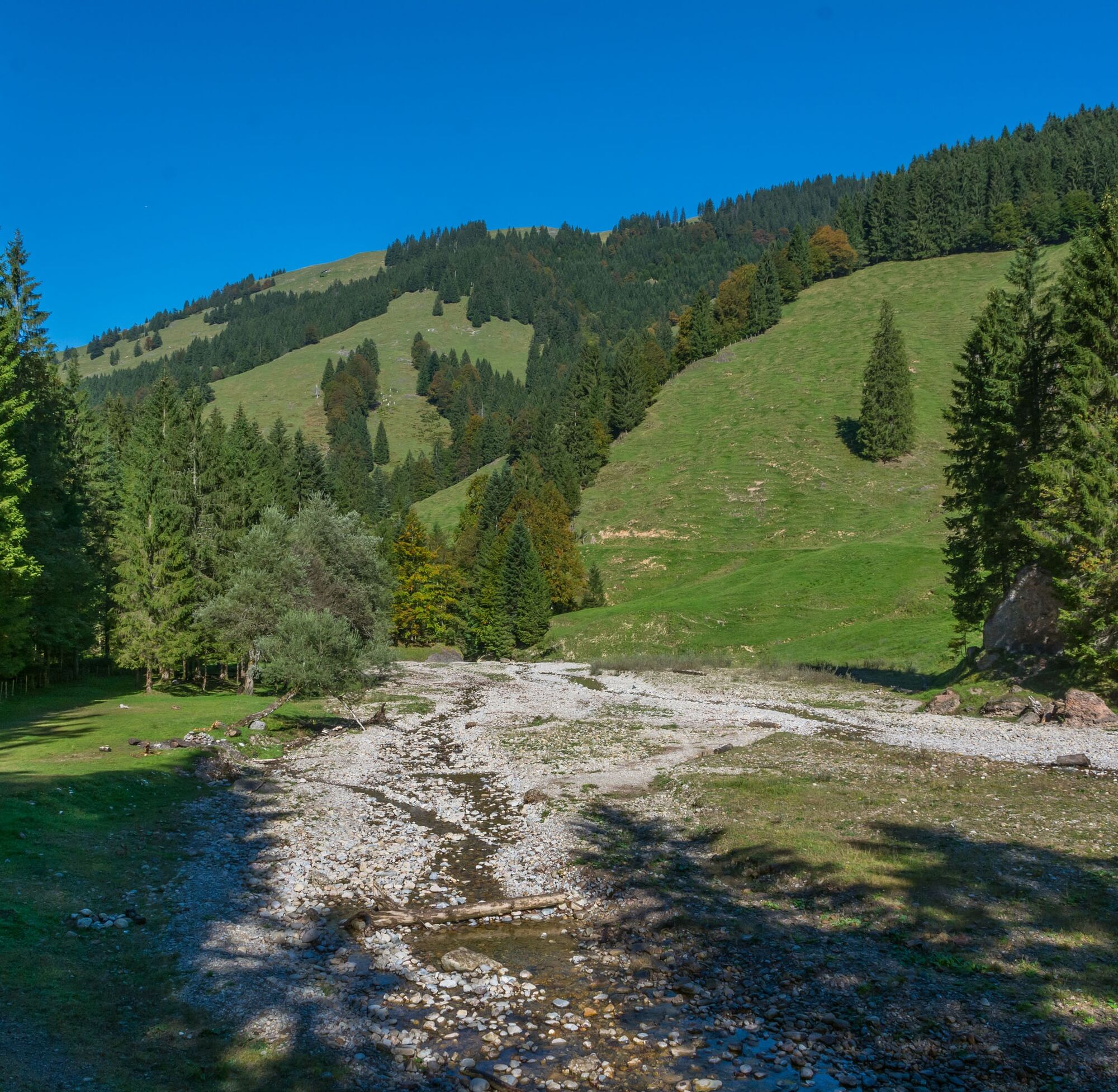
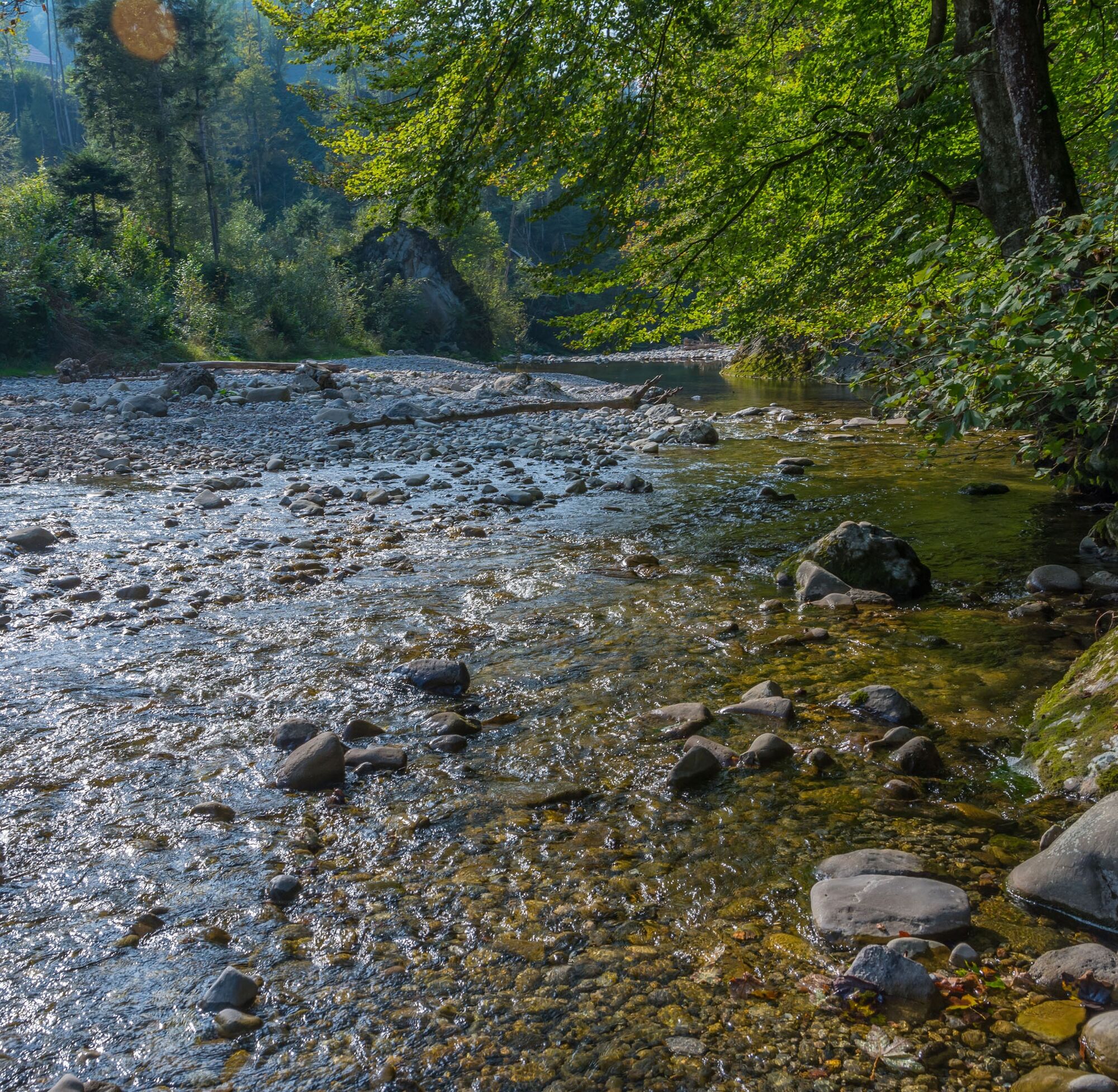

From Schwägalp over the Chräzeren Pass you reach the Spesswald forest. You follow the river course to St. Peterzell. Along the signposted hiking trail, it continues to Brunnadern and the village of Necker. The hiking trail continues downstream along the river over meadows and through forests to Ganterschwil. Shortly before Lütisburg, the Necker flows into the Thur. The Necker hike ends a little later in Bazenheid at the southernmost tip of Toggenburg.
Áno
Day hiking backpack (approx. 20 liters) with rain cover, sturdy and comfortable footwear, weather-appropriate and durable clothing in layers, optionally telescopic poles, sun and rain protection, provisions and drinking water, first aid kit, pocket knife, mobile phone, optionally headlamp, maps
The route is continuously signposted and in good condition.
From the Zurich metropolitan area and Central Switzerland: On the A3 at Reichenburg towards Rapperswil and then over the Ricken Pass to Wattwil. Then up through Toggenburg to Nesslau and there turn towards Schwägalp.
From Eastern Switzerland: From St. Gallen to Herisau and further via Urnäsch to Schwägalp.
From southern Germany: Via Bregenz and St. Margrethen on the A13 to Haag and take the exit towards Toggenburg/Wildhaus. Or via Konstanz to Wil, then take the Toggenburg exit and follow the main road to Nesslau. Then turn towards Schwägalp.
By train to Nesslau, then by post bus to the Schwägalp stop, Säntis cable car.
There are public, paid parking spaces at Schwägalp. However, we recommend traveling by public transport as the route does not end at Schwägalp.
T2
Toggenburg Tourism
Main Street 104
CH-9658 Wildhaus
Tel: +41 (0)71 999 99 11
E-mail: info@toggenburg.swiss
Internet: www.toggenburg.swiss
Enjoy a break at one of the quiet bathing spots directly on the Necker.
Webové kamery z prehliadky
-
Degersheim - Hotel Wolfensberg
-
Degersheim - Hotel Wolfensberg
-
Schwellbrunn - Restaurant Landscheide
-
Bergrestaurant Hochhamm - Schönengrund
-
Säntis
-
Schwägalp Säntis
-
Scherbhütte - Panoramaloipe
-
Kronberg
-
Wintersberg - Landgasthof Sonne
-
Berggasthaus Alter Säntis
-
Schönengrund - Wald
-
Skilift Hemberg
-
Mogelsberg

Obľúbené výlety v okolí
-
4,9
Säntis-Gipfeltour, Wasserauen / Appenzell Innerrhoden
ťažkéTuristika 21,1 km -
4,6
Säntis
strednáHorská turistika 17,5 km -
4,7
Schwägalp - Berggasthaus Tierwies - Girenspitz - Säntis
ťažkéTuristika 4,83 km -
4,2
Schnebelhorn Rundwanderung
strednáTuristika 11,9 km -
4,8
Jakobsbad - Berggasthaus Kronberg und Bergstation - Kronberg - Restaurant Scheidegg
strednáTuristika 12,0 km -
4,9
Kronberg - Schwaegalp
svetloTuristika 5,90 km -
4,7
Winterwanderung Jakobsbad - Kronberg
strednáZimná turistika 7,69 km -
4,5
Hike from Ebnat-Kappel to Tanzboden
strednáTuristika 14,5 km -
5,0
Chatzenloch hike with suspension bridge
svetloTuristika 5,91 km -
Hike from Hemberg to the Ofenloch
strednáTuristika 10,9 km
Turistika a stopovanie


Nenechajte si ujsť ponuky a inšpiráciu na ďalšiu dovolenku
Vaša e-mailová adresa bol pridaný do poštového zoznamu.





