Navigácia na stránke
Získajte túto prehliadku v mobilnom telefóne
Mapa
E-MTB route - The two Giffre

stredná
Mountainbike
13,81 km
Naskenujte kód QR a spustite navigáciu v aplikácii bergfex
QR Code
Turistika a stopovanie

E-MTB route - The two Giffre

Vzdialenosť
13,8 km
Trvanie
01:36 h
Ascent
262 hm
Hladina mora
748 - 913 m

Úroveň náročnosti: S2

Stiahnutie skladby
Mapa
E-MTB route - The two Giffre
stredná
Mountainbike
13,81 km

Fotografie našich používateľov

Trasa
Trasa
Mapa
E-MTB route - The two Giffre
stredná
Mountainbike
13,81 km
Essert aux Biord
(749 m)
Koridor/terén
0,0 km
Glière d'En-Bas
(750 m)
Koridor/terén
0,2 km
Plan de La Chapelle
(762 m)
Koridor/terén
0,2 km
La Glière
(754 m)
Zúčtovanie
0,3 km
Cavalo
(754 m)
Koridor/terén
0,5 km
Pierriers Longs
(754 m)
Koridor/terén
0,5 km
Hauterive
(767 m)
Zúčtovanie
0,7 km
Le Fay
(780 m)
Zúčtovanie
0,8 km
Englène
(820 m)
Zúčtovanie
1,4 km
Les Fontaines
(788 m)
Koridor/terén
1,6 km
La Feulatière
(899 m)
Koridor/terén
3,8 km
Lavoisière Dessus
(923 m)
Koridor/terén
3,9 km
Turchebise
(874 m)
Zúčtovanie
4,3 km
Grange de Bovère
(838 m)
Zúčtovanie
4,6 km
Penoutlay
(848 m)
Zúčtovanie
4,6 km
Maison Neuve
(820 m)
Zúčtovanie
4,7 km
Chapelle du Fay
(789 m)
Miesto uctievania
4,8 km
Combe Rateau
(810 m)
Koridor/terén
4,9 km
Le Fay
(780 m)
Zúčtovanie
5,0 km
Hauterive
(767 m)
Zúčtovanie
5,2 km
Sous Maison Neuve
(787 m)
Zúčtovanie
5,3 km
Crêts de la Chapelle
(793 m)
Zúčtovanie
5,5 km
Crêts des Faux
(801 m)
Zúčtovanie
5,6 km
La Chapelle
(768 m)
Zúčtovanie
5,7 km
Les Faux
(830 m)
Zúčtovanie
5,9 km
Sixt-Fer-à-Cheval
(758 m)
Dedina
6,1 km
Les Curtets
(788 m)
Zúčtovanie
7,1 km
L'Echarny
(839 m)
Zúčtovanie
7,7 km
Les Matelons
(819 m)
Zúčtovanie
8,0 km
Le Brairet
(824 m)
Zúčtovanie
8,5 km
Le Molliet
(834 m)
Zúčtovanie
9,2 km
Le Plan des Tattes
(833 m)
Koridor/terén
9,4 km
Le Lochet
(828 m)
Zúčtovanie
10,3 km
Les Petites Charny
(846 m)
Zúčtovanie
11,0 km
Les Matelons
(819 m)
Zúčtovanie
11,1 km
L'Echarny
(839 m)
Zúčtovanie
11,2 km
Le Crot
(826 m)
Zúčtovanie
11,9 km
Les Curtets
(788 m)
Zúčtovanie
12,2 km
Église Sainte-Madeleine
(766 m)
Miesto uctievania
12,8 km
Sixt-Fer-à-Cheval
(758 m)
Dedina
13,0 km
La Chaletaz
(785 m)
Zúčtovanie
13,2 km
La Glière
(754 m)
Zúčtovanie
13,3 km
Informácie o prehliadke

A course that takes you along the water's edge, between the Giffre and the Giffre des Fonts.

Technológia
3 / 6
Stav
2 / 6
Krajina
5 / 6
Skúsenosti
5 / 6
Najlepšie ročné obdobie
Jan
Feb
Mar
Apr
Máj
Jún
Júl
Aug
Sep
Okt
Nov
Dec
Autor
Logo
Zdieľať prehliadku
Mapa
E-MTB route - The two Giffre
stredná
Mountainbike
13,81 km
Chyba
Vyskytla sa chyba. Prosím, skúste to znova.
Informácie o trase
Trasa

Please note that this trail crosses a field where there are cows; please be respectful of this area and make sure to close the gate securely behind you.
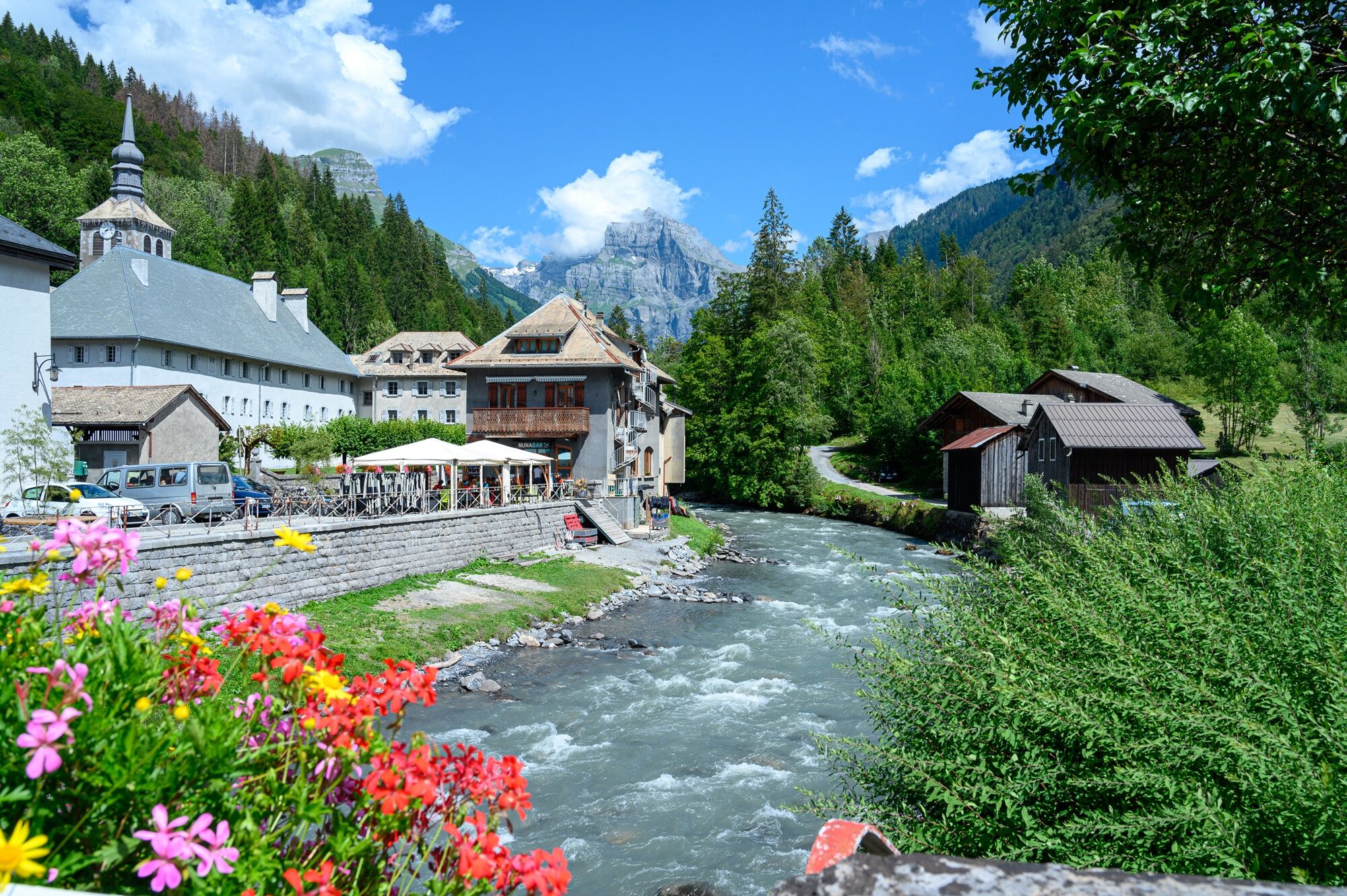
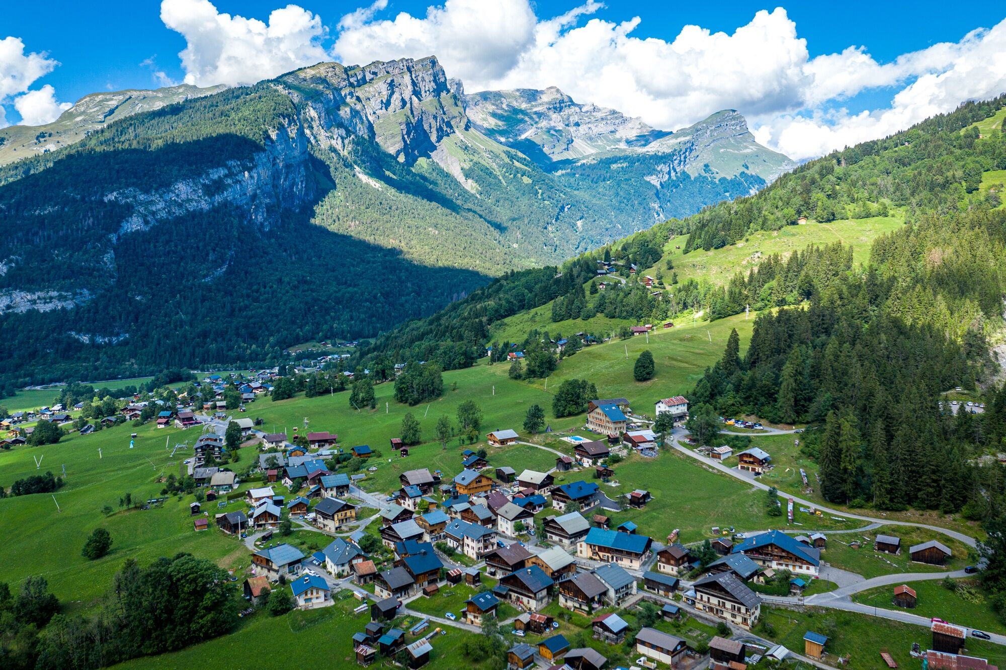
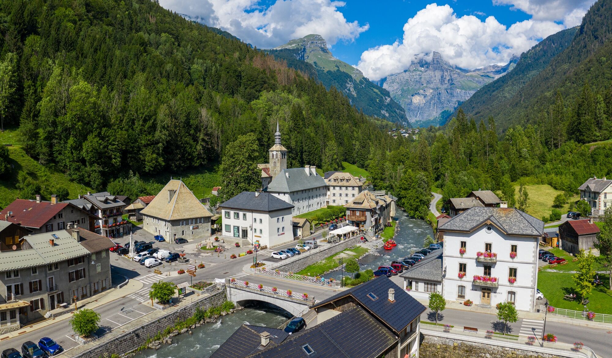
From the village of Sixt-Fer-à-Cheval, set out to explore the hamlet of Salvagny with its traditional architecture, from where you can see the Rouget Waterfall, also known as the “Queen of the Alps.” You’ll then head back down through the hamlet of Maison Neuve and follow the Giffre River to Molliet. On the way back, you’ll follow the stream to reach the village center, where you can admire the 12th-century abbey, a testament to the strong monastic presence in this glacial valley.

Geologické zaujímavosti

Áno

Bezpečnostné pokyny

In case of emergency, dial 112

Informácie o príchode
Príchod

Consider carpooling

Verejná doprava

Favor public transport for your journeys

Parkovanie

Parking near the starting point

Ďalšie informácie a tipy
Úroveň náročnosti

S2

Turistika a stopovanie

Turistika a stopovanie

Turistika a stopovanie
Viac ako 550.000 návrhov výletov, podrobné mapy a intuitívny plánovač trás robia z aplikácie povinnú výbavu pre všetkých nadšencov prírody.
bergfex