MTB Circuit 59 - The Maligneux Loop
svetlo
Získajte túto prehliadku v mobilnom telefóne
MTB Circuit 59 - The Maligneux Loop
svetlo
Mountainbike
10,05
km
Naskenujte kód QR a spustite navigáciu v aplikácii bergfex

Turistika a stopovanie


MTB Circuit 59 - The Maligneux Loop
svetlo
Vzdialenosť
10,05
km
Trvanie
01:02
h
Ascent
141
hm
Hladina mora
204 -
306
m
Stiahnutie skladby
MTB Circuit 59 - The Maligneux Loop
svetlo
Mountainbike
10,05
km
In the center of Dommartin village, a self-guided tour equipped with panels will allow you to discover the history of the former presbytery, the old town halls and schools, the 19th-century church which...
Opis
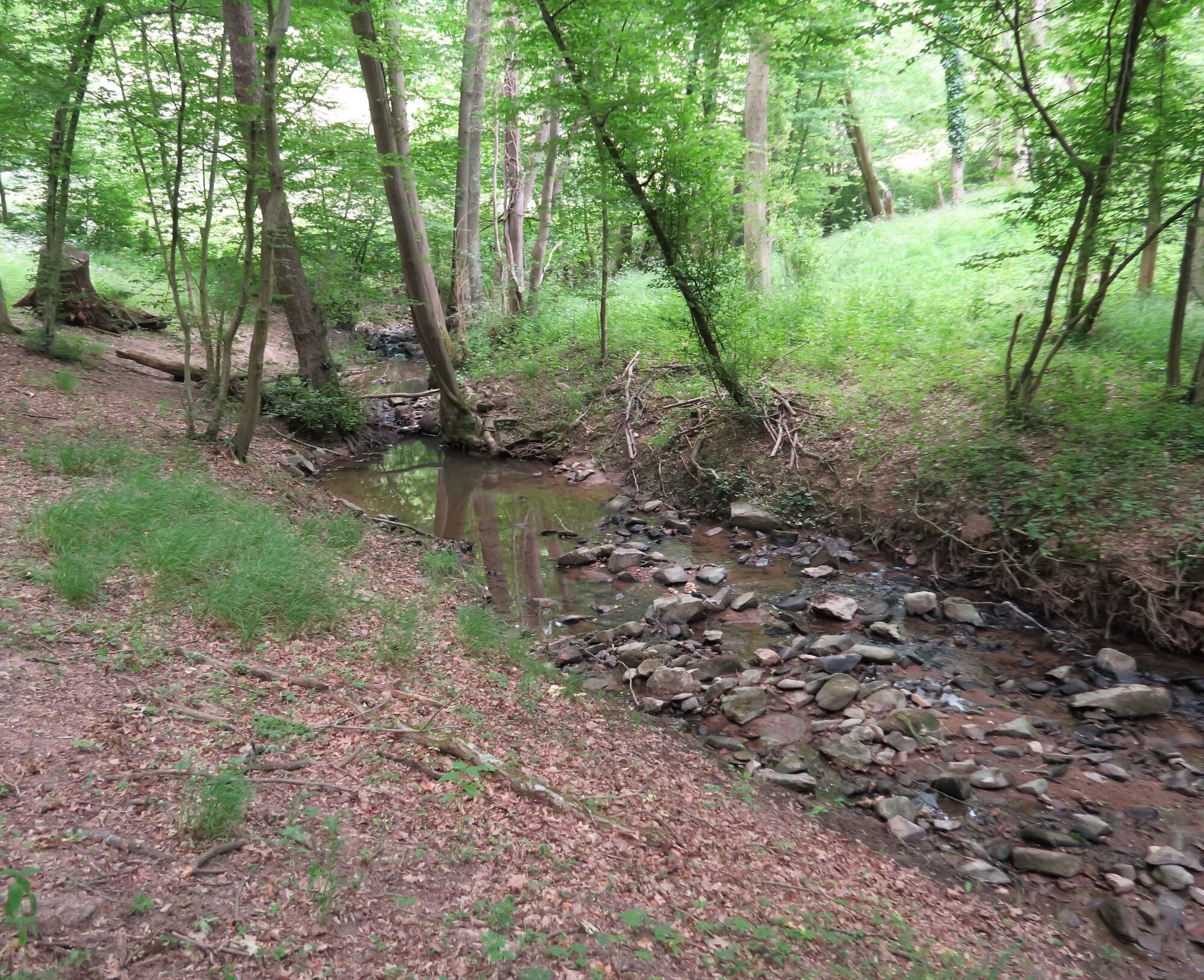
In the center of Dommartin village, a self-guided tour equipped with panels will allow you to discover the history of the former presbytery, the old town halls and schools, the 19th-century church which features a rare pine wood vault, and the wayside crosses.
Trasa
Dommartin
(296 m)
Dedina
0,2 km
Civrieux-d'Azergues
(197 m)
Dedina
4,3 km
Chardon Marand
(266 m)
Koridor/terén
5,5 km
Dommartin
(296 m)
Dedina
8,7 km
Église de l'Assomption de Notre-Dame
(294 m)
Miesto uctievania
8,7 km
Les Grandes Terres
(283 m)
Koridor/terén
9,4 km
Trasa
MTB Circuit 59 - The Maligneux Loop
svetlo
Mountainbike
10,05
km
Dommartin
(296 m)
Dedina
0,2 km
La Bergeonnière
(287 m)
Zúčtovanie
1,1 km
Communal
(247 m)
Koridor/terén
3,5 km
Civrieux-d'Azergues
(197 m)
Dedina
4,3 km
Chardon Marand
(266 m)
Koridor/terén
5,5 km
Aux Humberts
(305 m)
Koridor/terén
8,0 km
Dommartin
(296 m)
Dedina
8,7 km
Église de l'Assomption de Notre-Dame
(294 m)
Miesto uctievania
8,7 km
Les Grandes Terres
(283 m)
Koridor/terén
9,4 km
Autor
Poskytuje Monts du Lyonnais
Prehliadku MTB Circuit 59 - The Maligneux Loop zabezpečuje outdooractive.com.

Ďalšie informácie a tipy
Ďalšie informácie
Adapt your equipment and choice of route according to your level and the weather. Do not leave the trails.
Zatiaľ žiadne recenzie
Obľúbené výlety v okolí
-
The forest of Flachère - Beaujolais - Légny
svetloTuristika 6,68 km -
Porte des Pierres Dorées - Beaujolais - Jarnioux
svetloTuristika 14,8 km -
Walking towards the Aqueduct of Gier - Monts du Lyonnais - Chaponost
svetloTuristika 8,25 km -
Route around the Tourette
svetloTuristika 10,6 km -
Let's walk in the woods - Monts du Lyonnais - Pollionnay
svetloTuristika 12,6 km -
The Panoramique
svetloTuristika 7,56 km -
Z Velair do Saint-Bonnet-le-Froid - Monts du Lyonnais - Courzieu
ťažkéTuristika 14,7 km -
Buisante - Beaujolais - Pommiers
svetloTuristika 8,09 km -
5,0
MTB Circuit 23 - The Poirier
svetloMountainbike 15,6 km -
Les Carrières de Glay - Beaujolais - Chessy-Les-Mines
svetloTuristika 11,1 km
Turistika a stopovanie

Viac ako 550.000 návrhov výletov, podrobné mapy a intuitívny plánovač trás robia z aplikácie povinnú výbavu pre všetkých nadšencov prírody.

Nenechajte si ujsť ponuky a inšpiráciu na ďalšiu dovolenku
Prihlásiť sa k odberu noviniek
Chyba
Vyskytla sa chyba. Prosím, skúste to znova.
Ďakujeme za vašu registráciu
Vaša e-mailová adresa bol pridaný do poštového zoznamu.
Zájazdy po celej Európe
Rakúsko
Švajčiarsko
Nemecko
Taliansko
Slovinsko
Francúzsko
Holandsko
Belgicko
Poľsko
Lichtenštajnsko
Česko
Slovensko
španielsko
Hrvaška
Bosna a Hercegovina
Luxembursko
Andorra
Portugalsko
Island
Spojené kráľovstvo
Írsko
Grécko
Albánsko
Severné Macedónsko
Malta
Nórsko
Čierna Hora
Moldavsko
Kosovo
Maďarsko
San Maríno
Rumunsko
Estónsko
Lotyšsko
Bielorusko
Cyprus
Litva
Srbsko
Bulharsko
Monako
Dánsko
Švédsko
Fínsko