







Mountain bike route 185 - vineyards and hillsides
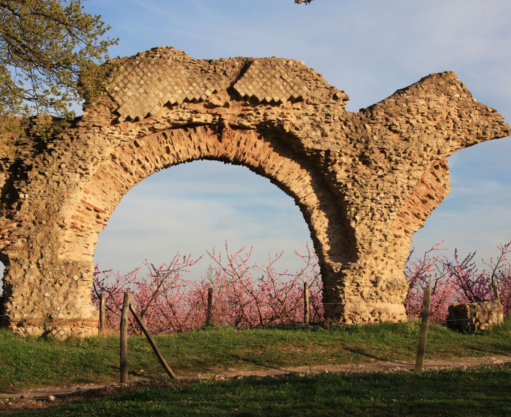
After passing the remains of the aqueduct, then the Combe Gibert pond, you will take a gentle climb to Taluyers. 2 km further, you can enjoy a bird-watching station before crossing the D83 and reaching...
After passing the remains of the aqueduct, then the Combe Gibert pond, you will take a gentle climb to Taluyers. 2 km further, you can enjoy a bird-watching station before crossing the D83 and reaching the Romanesque chapel of Saint-Vincent. For the return, take the first wide path on the right where the other routes converge.


Park in the sports hall parking lot, starting point of the loop.
Adapt your equipment and circuit choice according to your level and the weather. Do not leave the trails.
Obľúbené výlety v okolí
-
5,0
Walk to the Garon siphon bridge of the Roman Aqueduct of Gier
svetloTuristika 6,08 km -
The Signal - Monts du Lyonnais - Saint-André-la Côte
svetloTuristika 14,5 km -
Roman Gier Aqueduct path
ťažkéTuristika 44,4 km -
Wine trails at the heart of the vineyards
svetloTuristika 4,92 km -
The Tacot, ephemeral journey
svetloTematická trasa 1,91 km -
Health-sport hike: the Croix Forest bridge
svetloTuristika 9,78 km -
Walking towards the Aqueduct of Gier - Monts du Lyonnais - Chaponost
svetloTuristika 8,25 km -
Family hike "In the heart of the orchards"
svetloTuristika 4,04 km -
MTB Route 231 - Les Landes de Montagny
ťažkéMountainbike 19,9 km -
In the heart of the Millery vineyards
svetloTuristika 9,96 km
Turistika a stopovanie


Nenechajte si ujsť ponuky a inšpiráciu na ďalšiu dovolenku
Vaša e-mailová adresa bol pridaný do poštového zoznamu.





