


Hike: on the steps of the WW2 French resistance.
Úroveň náročnosti: T1
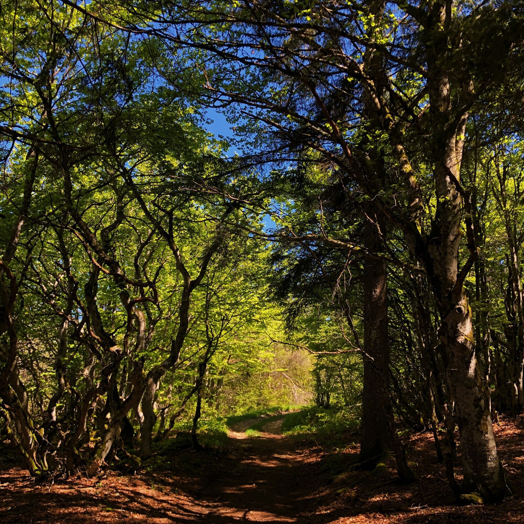
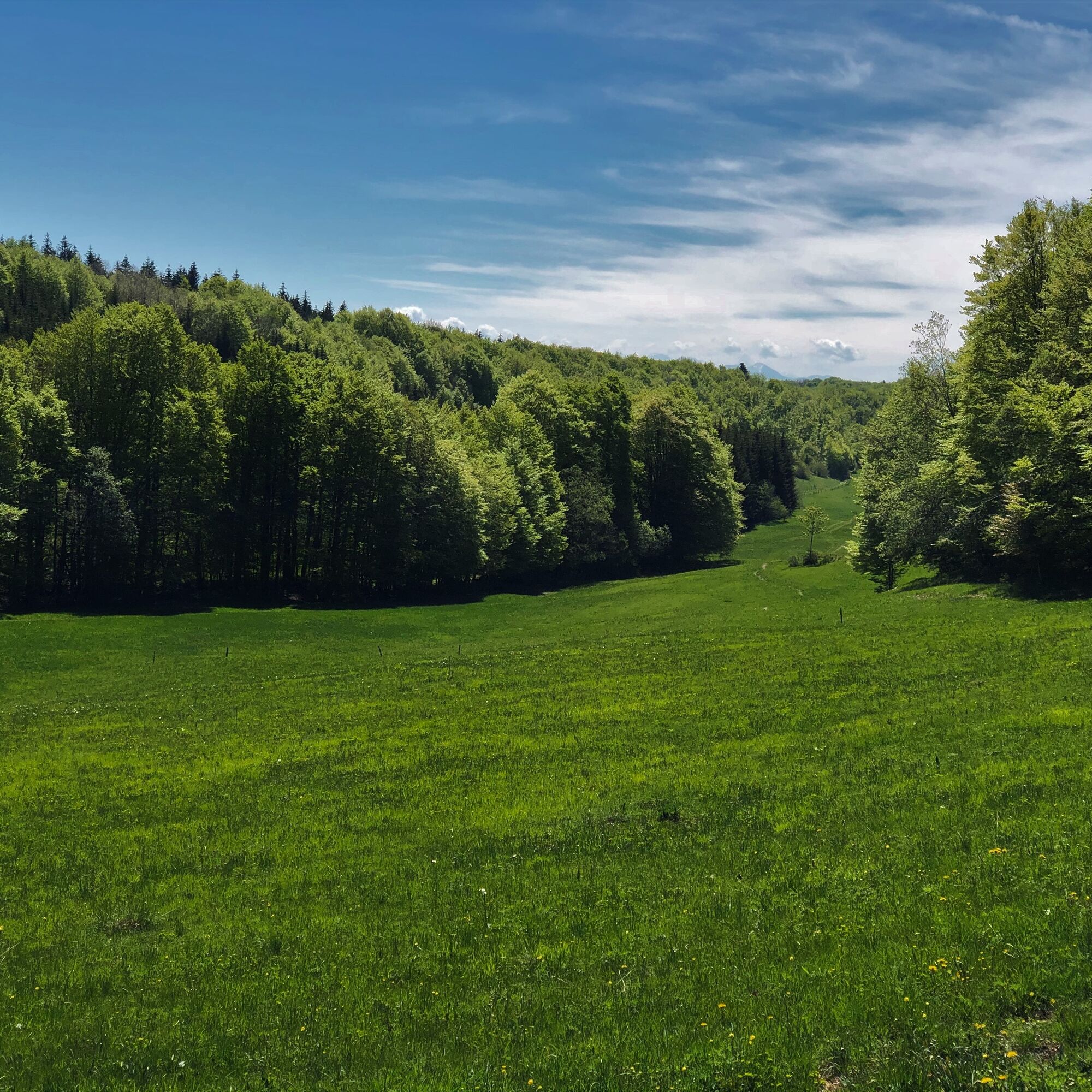
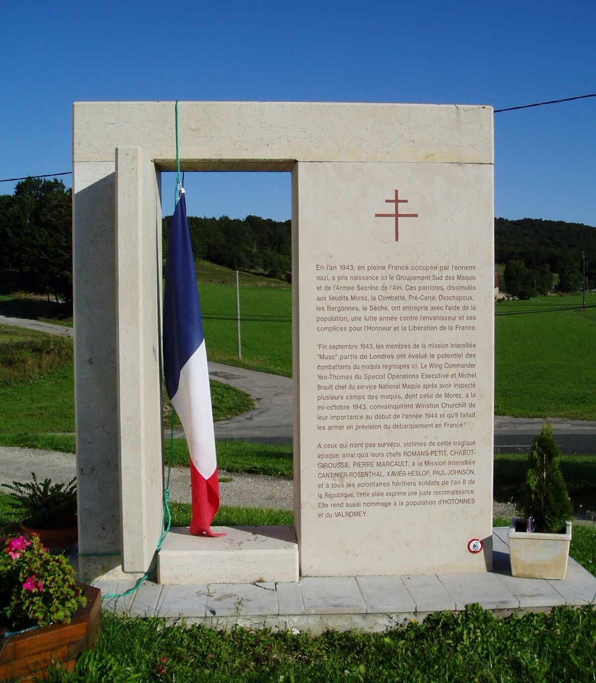
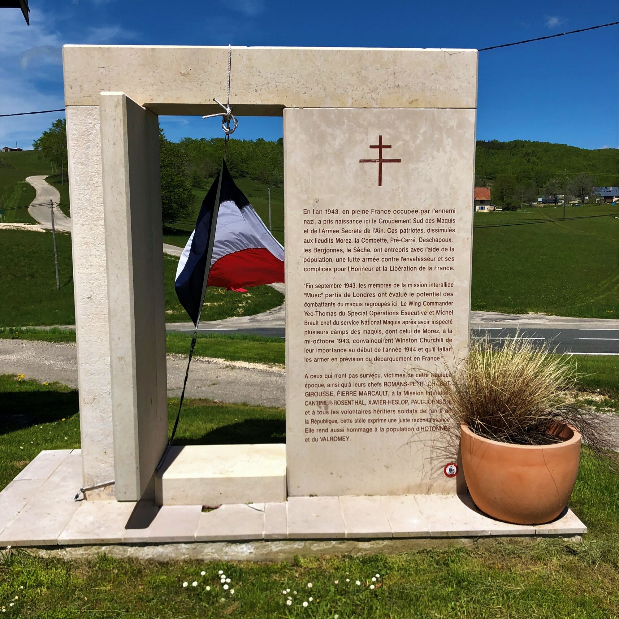
Trails retracing the history of the first resistance camps on the Plateau de Retord: training and supervising the Maquis, Maquisards with multinational origins, the Interallied Mission "Musc" and the repressive...
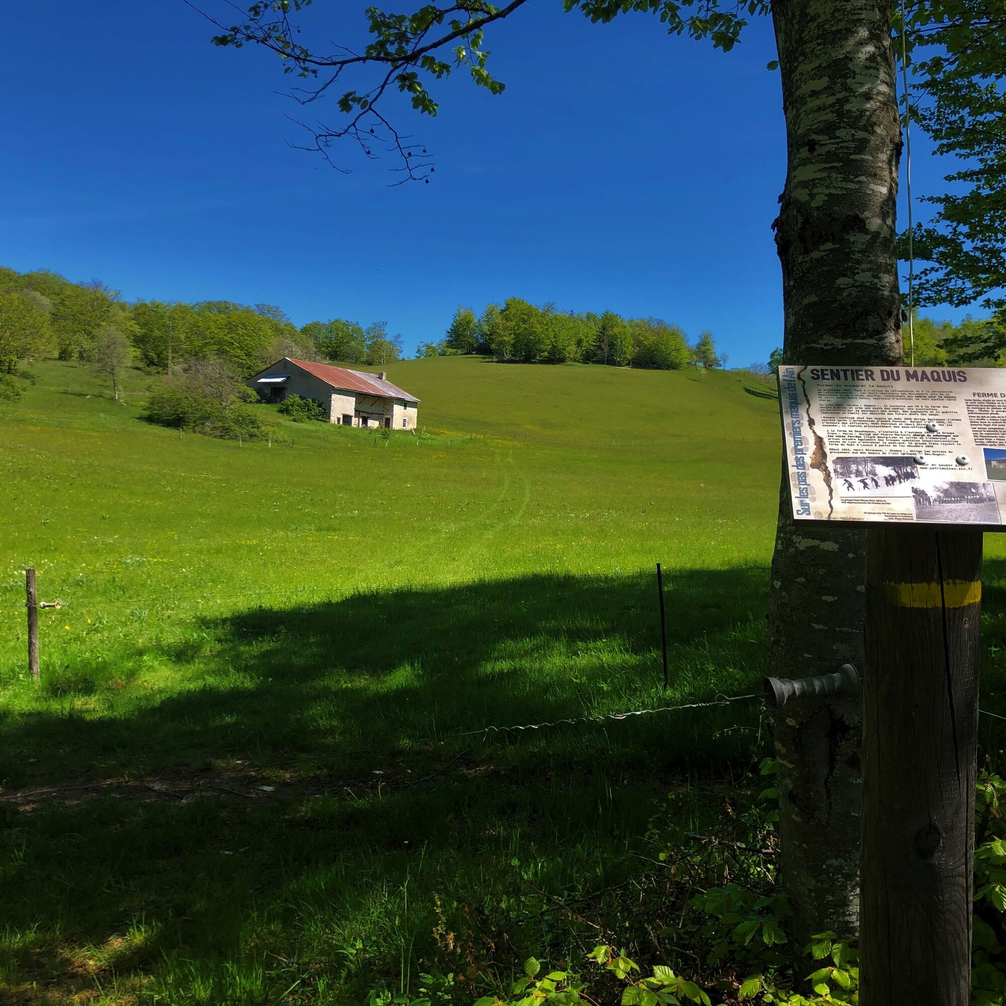
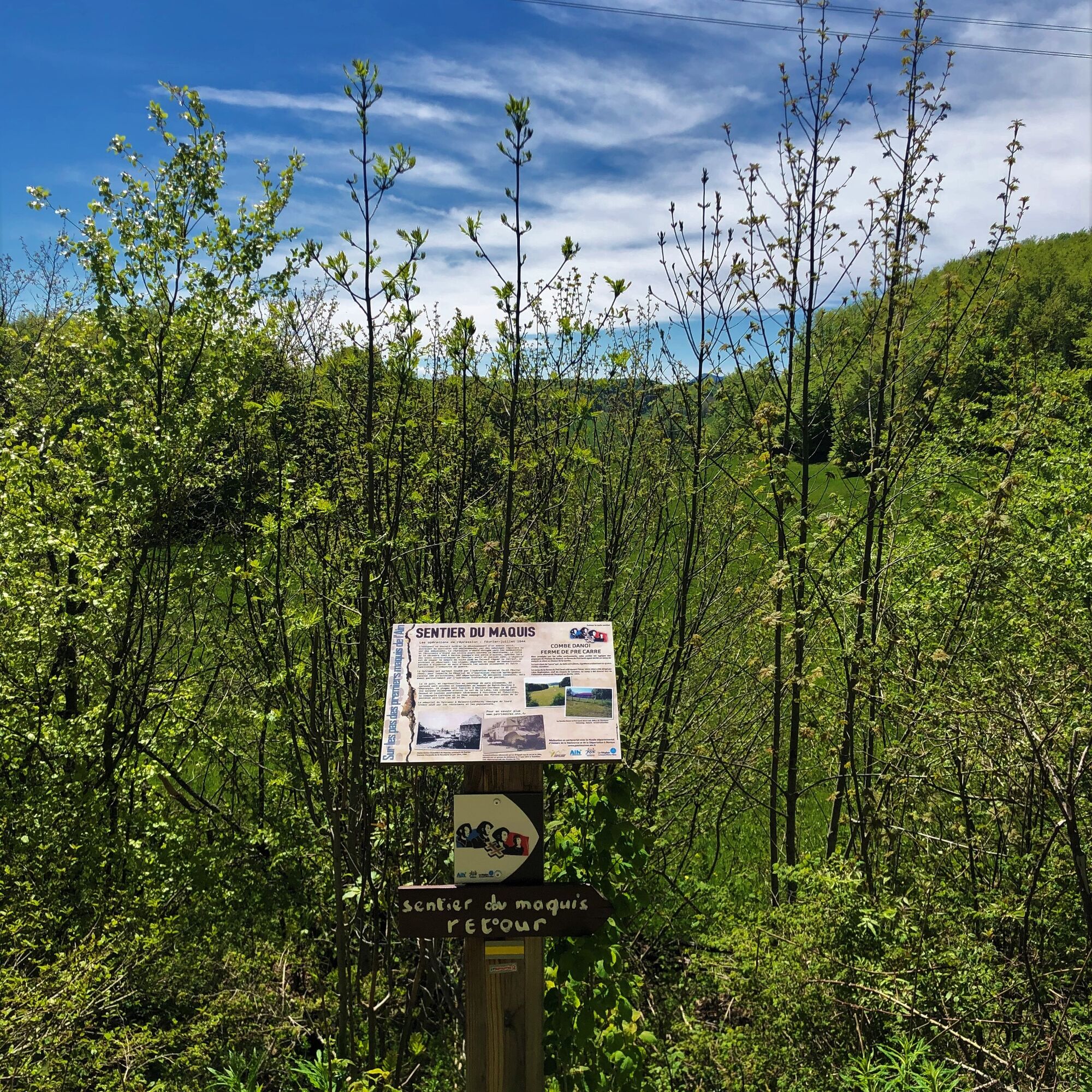
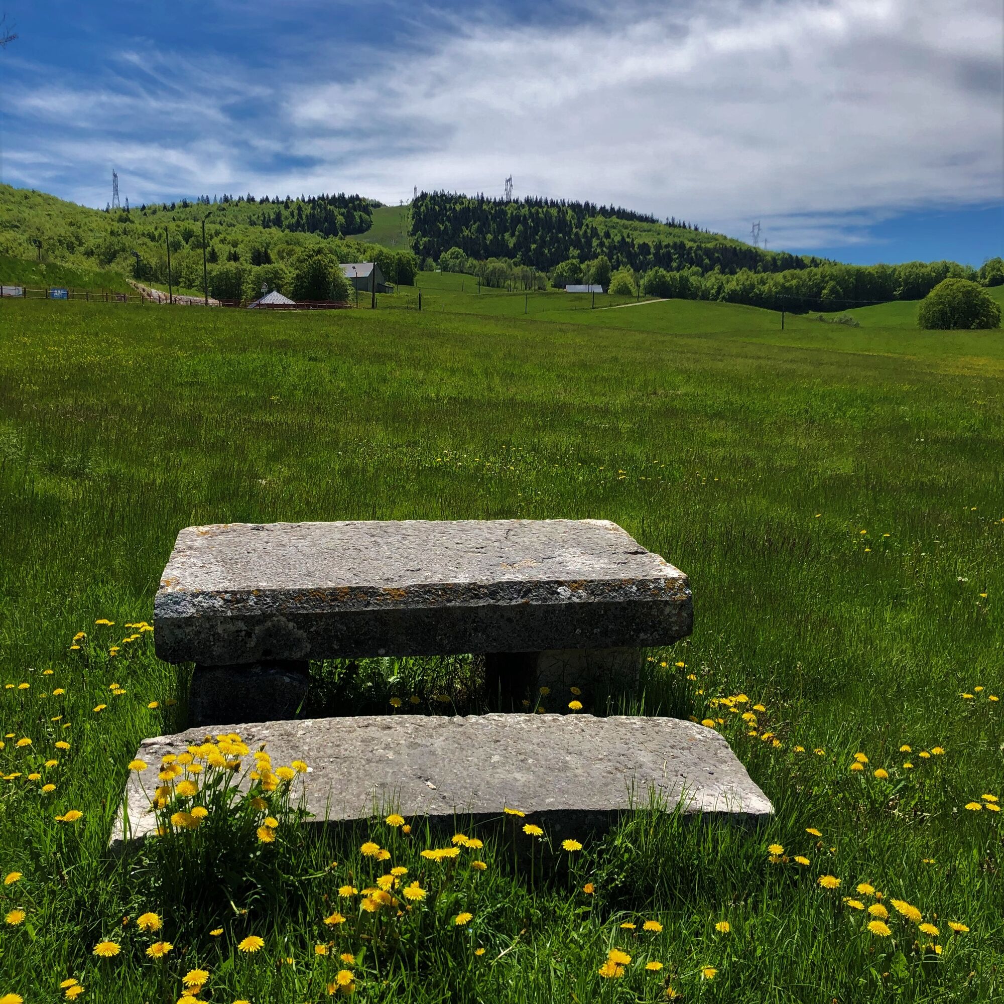
Several points of interest along the route: the Porte du Maquis, the Ferme de Deschapoux, the Ferme des Combettes, the Ferme de Morez, the Combe Danoi, the Ferme de Pré Carré, the Croix des Lagnieux and the Ferme du Sèche.
Information panels retracing the history of these points of interest can be found along the route.
This thematic trail was created in partnership with the Departmental Museum of the History of the Resistance and Deportation in Nantua.
This hike can be downloaded on the free app Ain Outdoor.


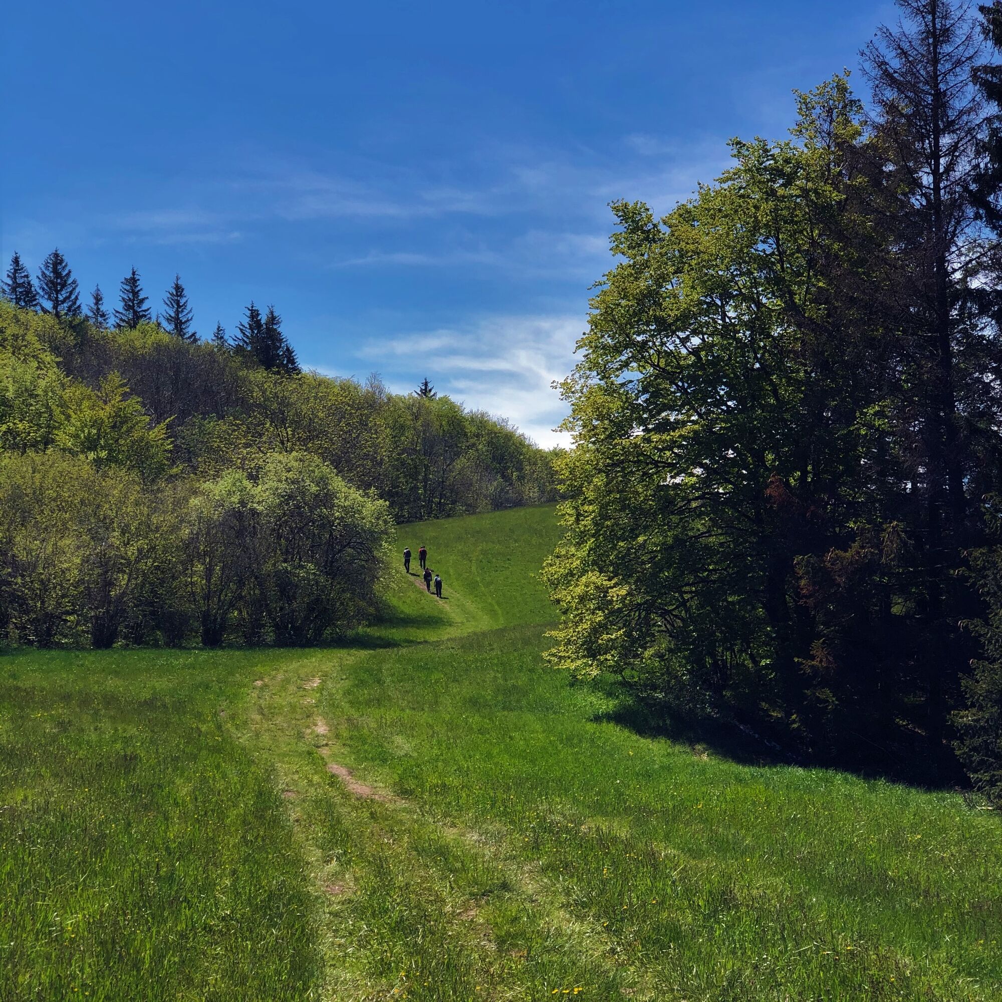
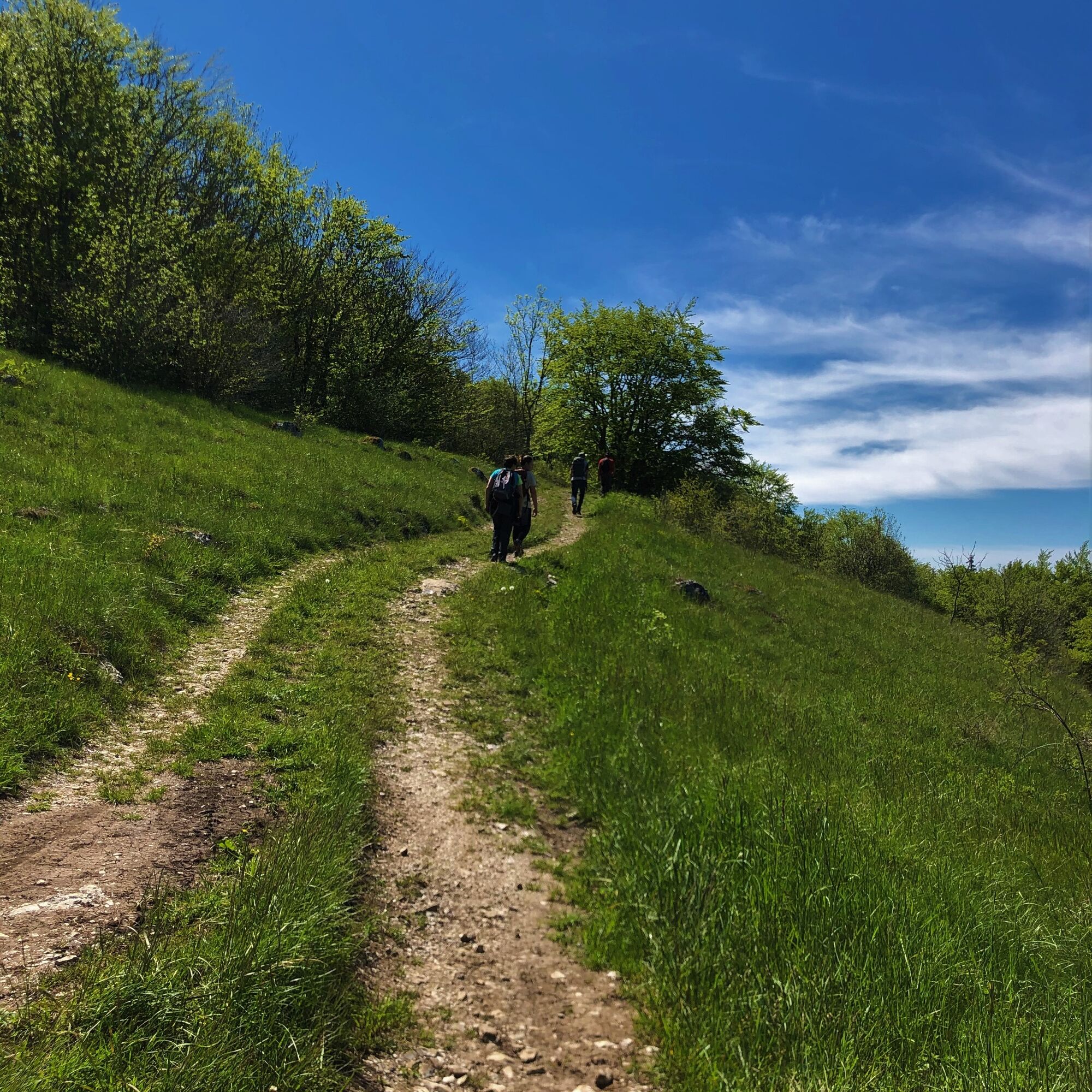


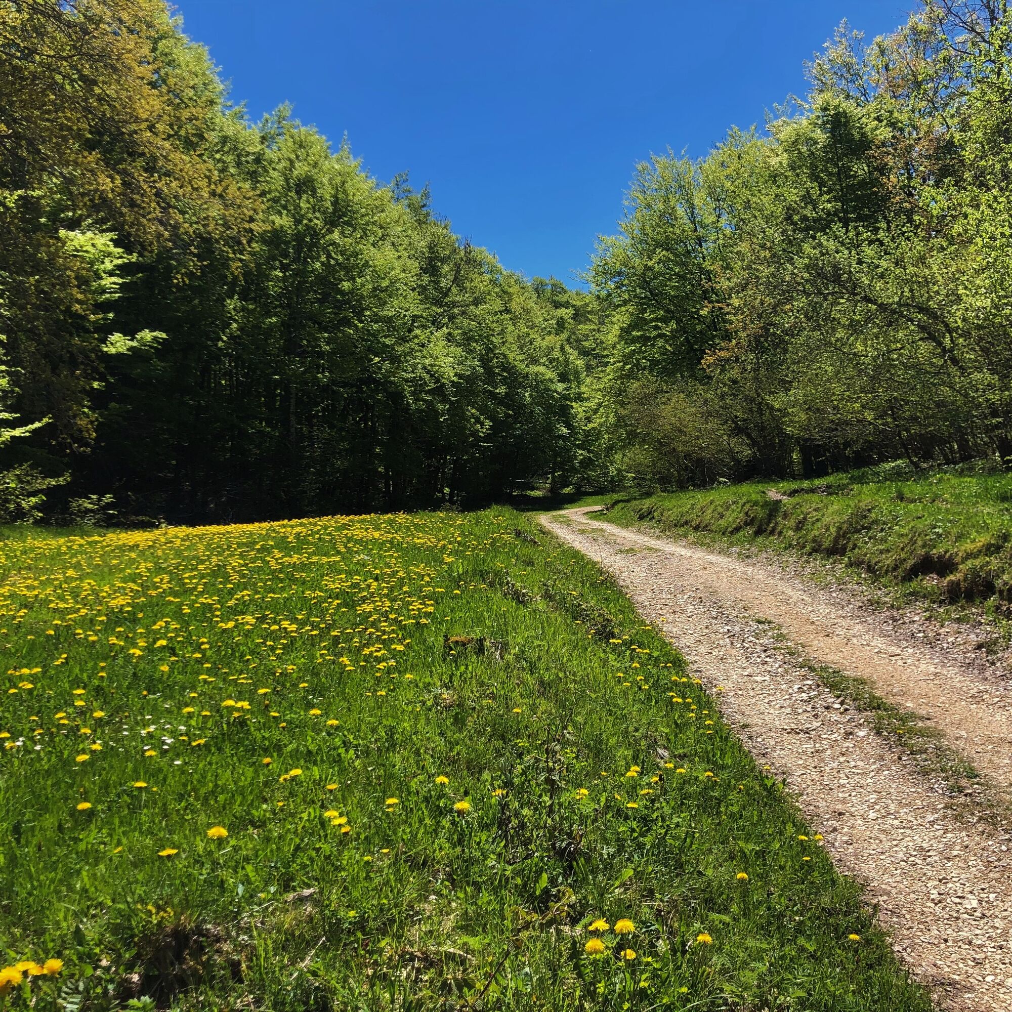
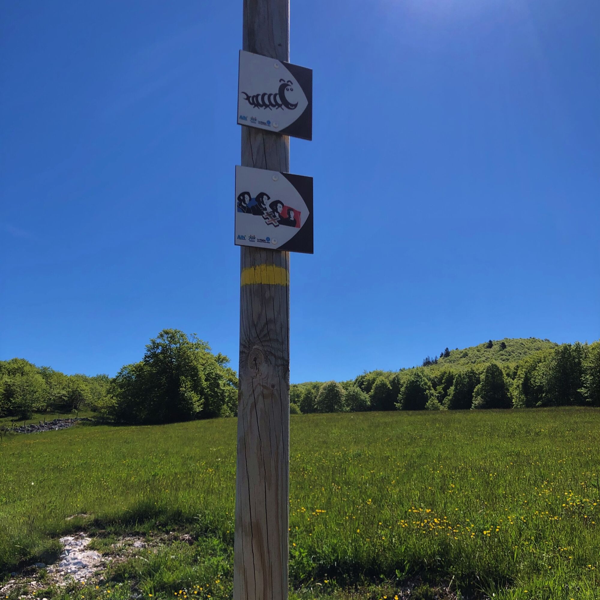
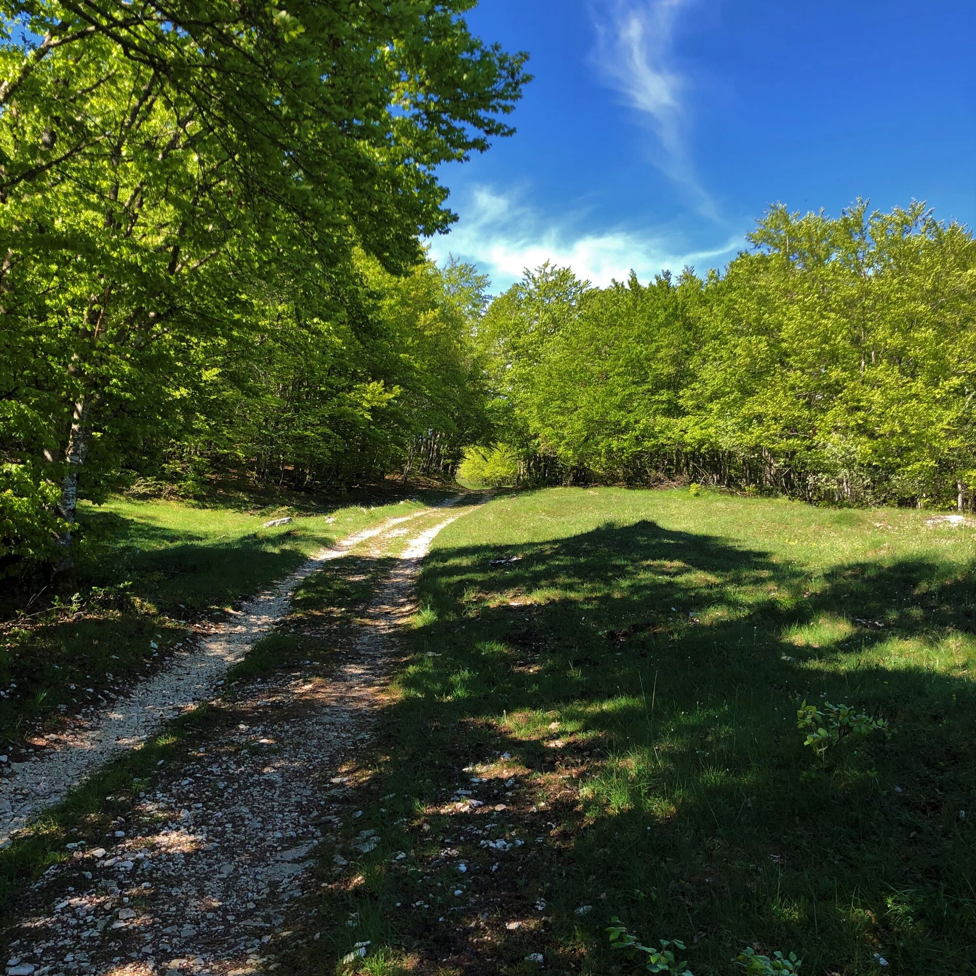
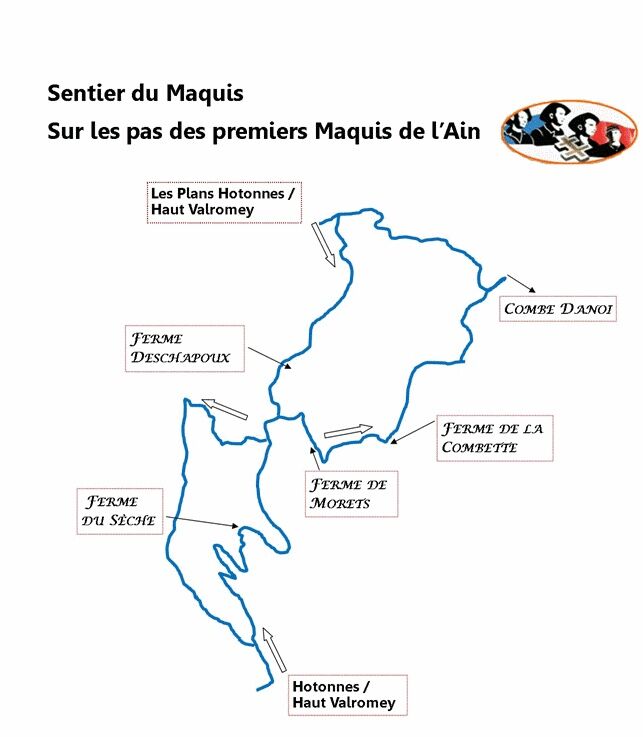
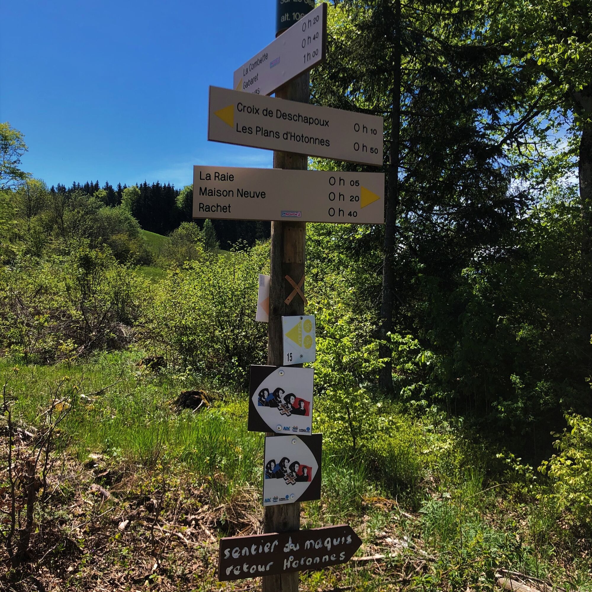
From Hotonnes or the Plans d'Hotonnes, follow the markings representing the maquisards.
Áno
Áno
It is recommended to be equipped with good shoes.
The route has no difficult passages.
The circuit crosses the alpine pastures of the Plateau de Retord; great vigilance is recommended when you encounter a herd.
Some herds are accompanied by guard dogs; in this case, it is highly recommended not to cross through them but to go around. Please keep your dogs on a leash and always close the enclosures behind your passage.
Check the interactive Ma Patou map and learn the behavior to adopt: https://www.pasto-kezako.fr/ou-sont-les-chiens-de-protection-2/
Defective marking, incidents / security, conflicts of use, illegal dumping? : locate and share the problem encountered on the national alert system via the SURICATE app or on the site https://sentinelles.sportsdenature.fr/
From Lyon, follow the A42 then the A40 towards Geneva until the Saint Martin du Fresne exit, from which Hotonnes and the Plans d’Hotonnes station are indicated.
From Mâcon, follow the A40 towards Geneva until the Saint Martin du Fresne exit, from which Hotonnes and the Plans d’Hotonnes station are indicated.
Hotonnes and the Plans d’Hotonnes are not served by public transport.
Many parking spots are available at the Hotonnes square parking and the various parkings at the Plans d’Hotonnes station.
T1
APIDAE Tourism data updated on 25/10/2022 by "Office de Tourisme Bugey Sud Grand Colombier."
An error on this sheet? Write to the owner citing these references:
File name: Nature trail "Sentier du Maquis" | File ID: 4663521 | URL (link) of this page Outdooractive.
Tourist Office tips:
It is possible to split this long hike into two by enjoying the mountain specialties at the Restaurant Berthet located a few meters from the maquis stele at mid-route.
This route is part of the "Ain Outdoor" selection.
Obľúbené výlety v okolí
-
3,0
Hike: on the ridge of the Grand Colombier (circuit des crêtes)
strednáTuristika 11,3 km -
Hike: A wolf life.
svetloTuristika 7,22 km -
3 day-hike in Jura: hiking trails through Plateau de Retord and Grand Colombier
ťažkéTuristika 50,9 km -
Hike of the Grand Colombier starting from Munet
ťažkéTuristika 16,0 km -
MTB track 14 red - Retord - les balcons du Mont Blanc - Espace FFC Ain Forestière
strednáMountainbike 29,5 km -
Hike: Tour de Retord
ťažkéTuristika 18,6 km -
Cycling tour: Geological curiosities of Valromey
svetloCestný bicykel 37,1 km -
Running trail: Retord tour
ťažkéTrailrunning 18,6 km -
Hiking in Bugey: La Ronde des Plans
svetloTuristika 13,1 km -
Cycling route: Du col du Ballon à la Combe de Léchaud
ťažkéCestný bicykel 122,6 km
Turistika a stopovanie


Nenechajte si ujsť ponuky a inšpiráciu na ďalšiu dovolenku
Vaša e-mailová adresa bol pridaný do poštového zoznamu.