






Sentier découverte de l'aqueduc romain de la Brévenne

The Roman Aqueduct of the Brévenne was supplied above Sainte-Foy-l'Argentière, at Aveize. Its canal, with a rectangular section, vaulted in a semicircle, has a slight and regular slope. Apart from some...
The Roman Aqueduct of the Brévenne was supplied above Sainte-Foy-l'Argentière, at Aveize. Its canal, with a rectangular section, vaulted in a semicircle, has a slight and regular slope. Apart from some sudden drops in altitude, the water flowed quietly. Along its 70 km, it has been identified at more than 160 sites. To learn more, visit the exhibition "Les aqueducs romains de Lyon" at the Maison d'expositions de l'Araire in Yzeron.

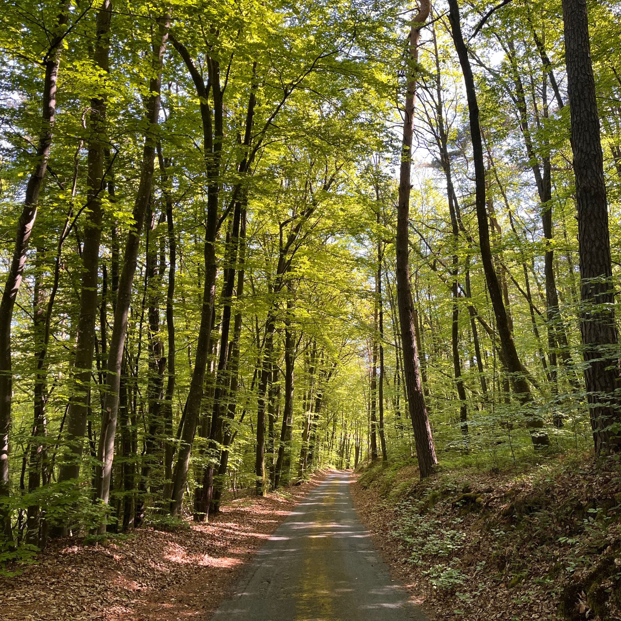
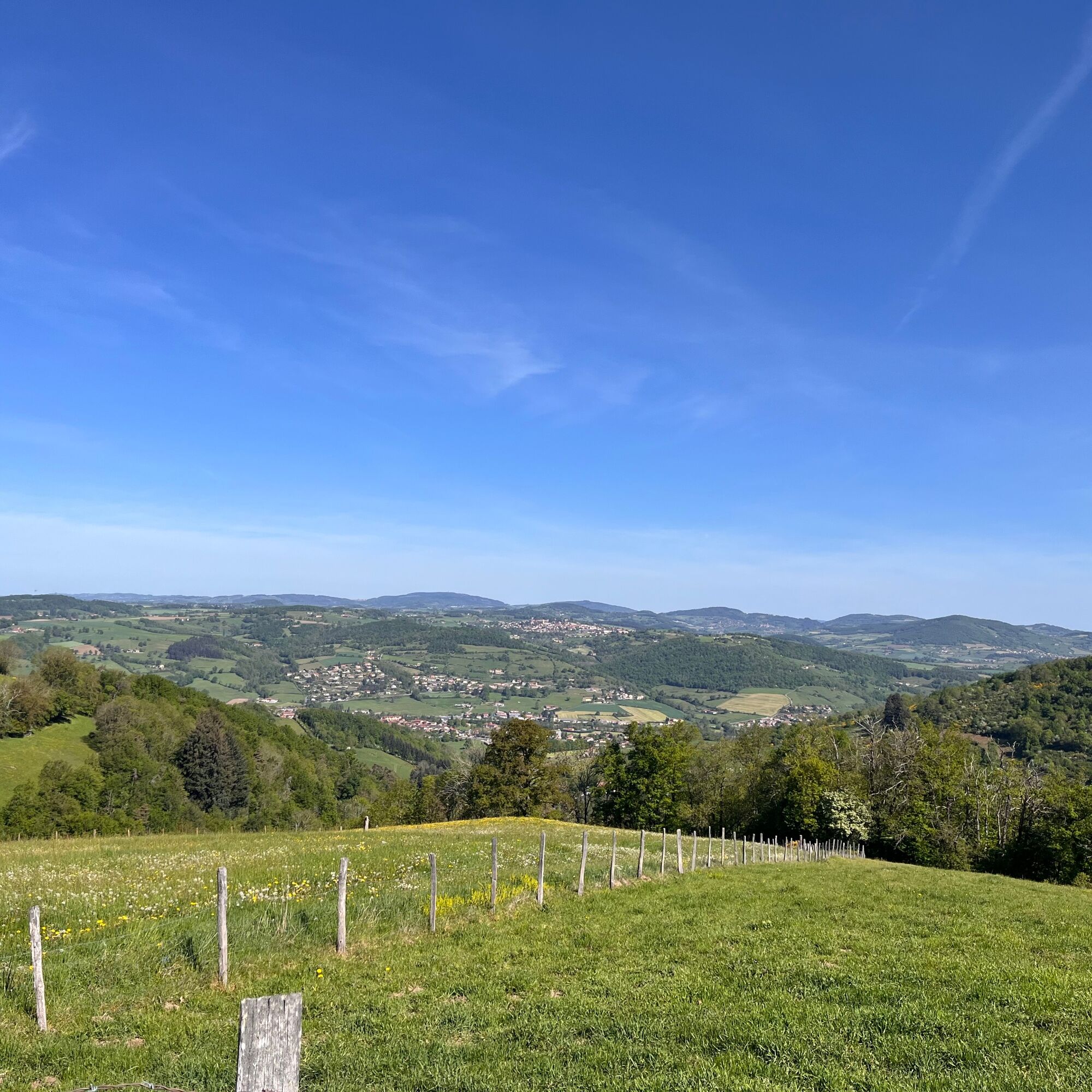
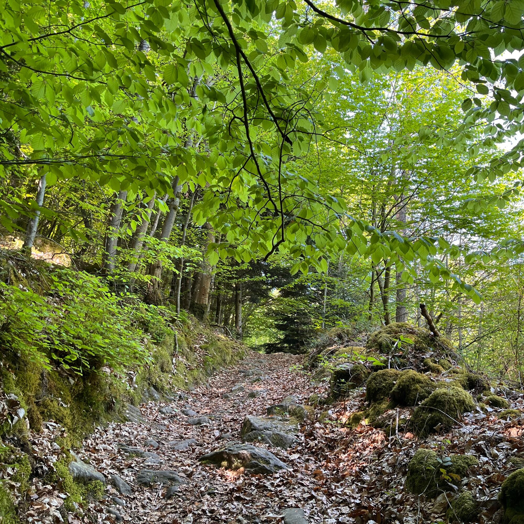
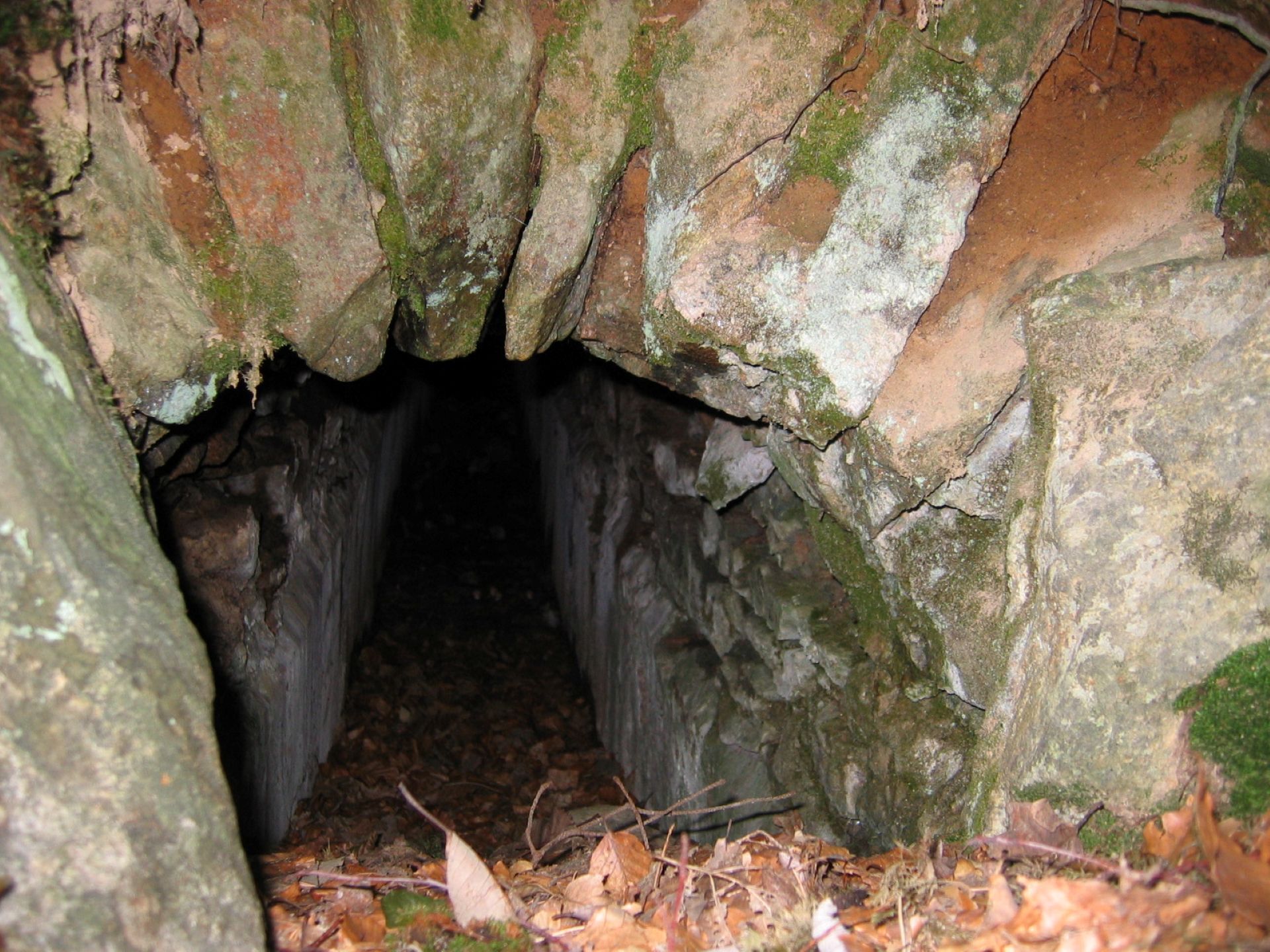
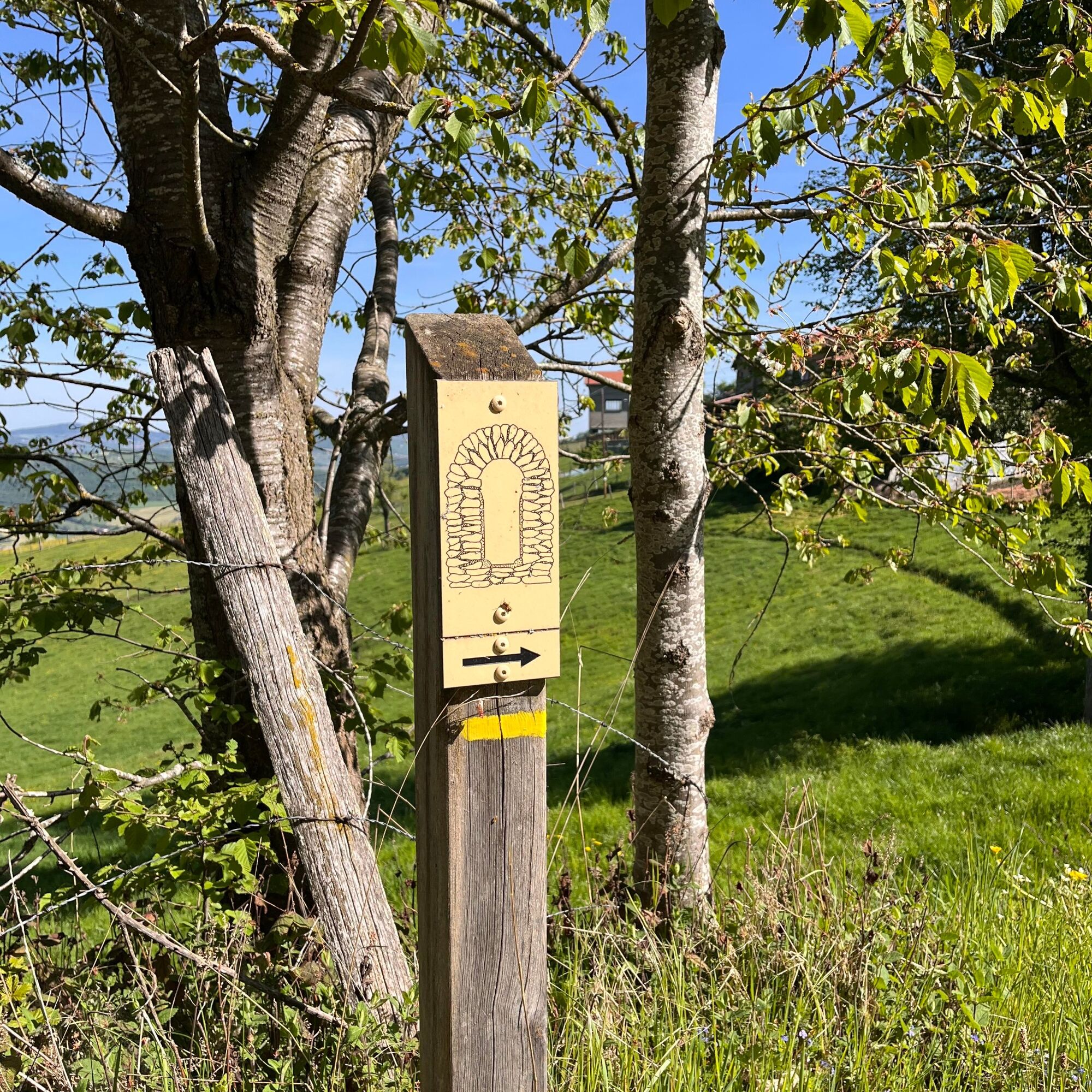

Please stay on the trails and respect the crops. Remember to bring enough water, hiking shoes, and clothing suitable for your outing depending on the forecasted weather. A small first aid kit is also recommended.
Obľúbené výlety v okolí
-
5,0
The Gimond dam - Monts du Lyonnais - Grézieu-le-Marché
svetloTuristika 11,2 km -
Coise Riverbank Trail
svetloTuristika 14,6 km -
Trail of the landscapes of the Monts du Lyonnais
strednáTuristika 12,0 km -
The Signal - Monts du Lyonnais - Saint-André-la Côte
svetloTuristika 14,5 km -
The Tacot, ephemeral journey
svetloTematická trasa 1,91 km -
Let's walk in the woods - Monts du Lyonnais - Pollionnay
svetloTuristika 12,6 km -
Health-sport hike: the Croix Forest bridge
svetloTuristika 9,78 km -
Regina, Duroni, Sweetheart - Monts du Lyonnais - Bessenay
svetloTuristika 13,6 km -
Chemin de Saint Jacques de Compostelle - Etape 3 - Saint-Martin-en-Haut / Saint Galmier
svetloTuristika 26,5 km -
Z Velair do Saint-Bonnet-le-Froid - Monts du Lyonnais - Courzieu
ťažkéTuristika 14,7 km
Turistika a stopovanie


Nenechajte si ujsť ponuky a inšpiráciu na ďalšiu dovolenku
Vaša e-mailová adresa bol pridaný do poštového zoznamu.





