
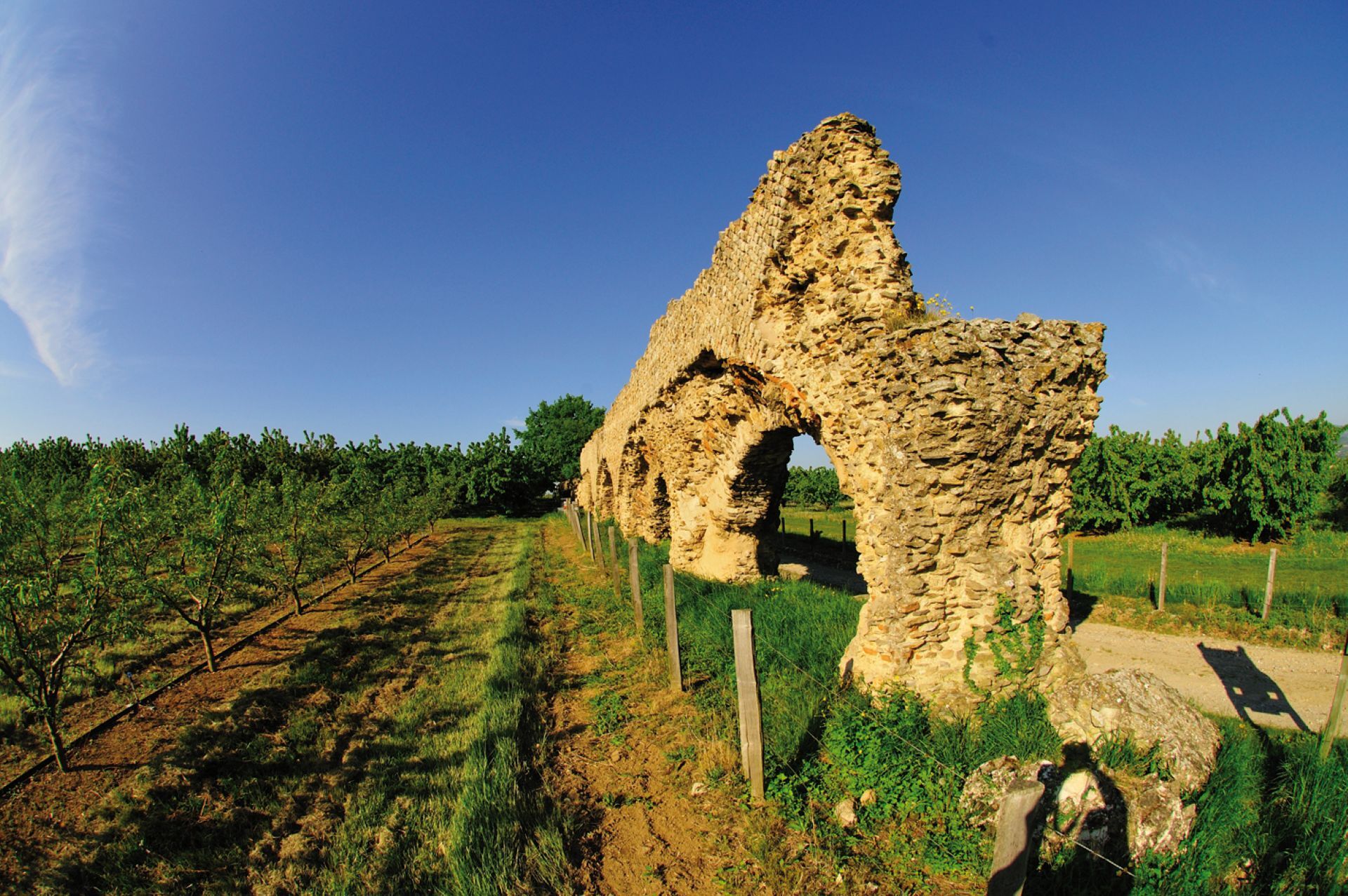
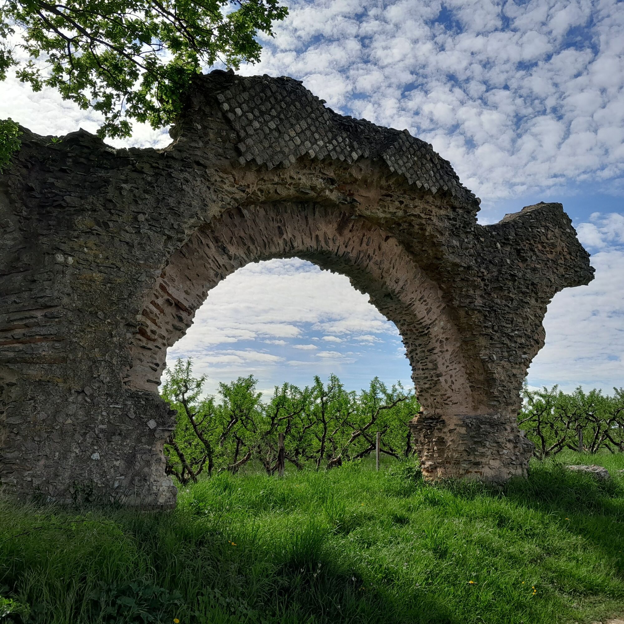
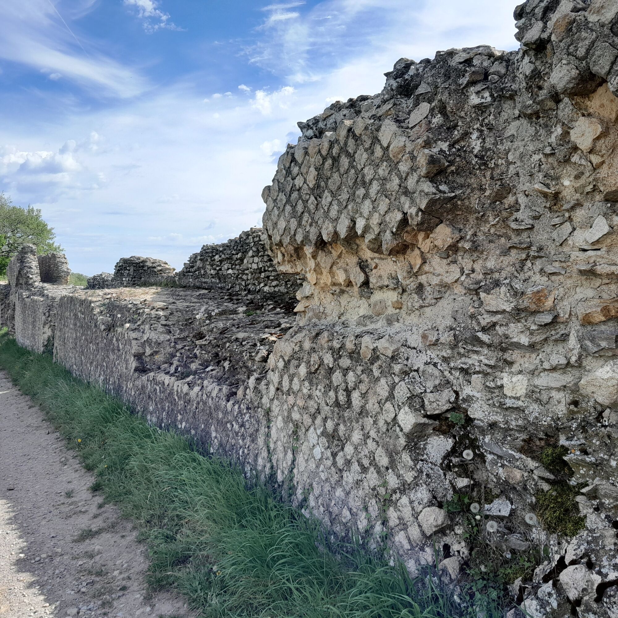
In the footsteps of the Roman aqueduct of the Gier
svetlo
Získajte túto prehliadku v mobilnom telefóne
In the footsteps of the Roman aqueduct of the Gier
svetlo
Turistika
10,81
km
Naskenujte kód QR a spustite navigáciu v aplikácii bergfex


Turistika a stopovanie




In the footsteps of the Roman aqueduct of the Gier
svetlo
Vzdialenosť
10,8
km
Trvanie
02:40
h
Ascent
134
hm
Hladina mora
260 -
375
m

Naviguj sa počas prehliadky v aplikácii
Nainštalujte si aplikáciu zadarmo a sledujte trasu vďaka GPS navigácii a sledovaniu polohy.
Využite službu „ bergfex “ už teraz v aplikácii
Naskenuj QR kód pomocou fotoaparátu
Ak máte aplikáciu nainštalovanú, obsah sa otvorí priamo. Ak aplikáciu ešte nemáte, budete presmerovaní na stránku, kde si ju môžete bezplatne stiahnuť.
Stiahnutie skladby
In the footsteps of the Roman aqueduct of the Gier
svetlo
Turistika
10,81
km
From the start at the Stade post follow - Verchery – Bel Air - Furon - Le Combard - Prasseytout - The Stade
Trasa
La Flette
(345 m)
Koridor/terén
10,0 km
Soucieu-en-Jarrest
(335 m)
Dedina
10,1 km
Trasa
In the footsteps of the Roman aqueduct of the Gier
svetlo
Turistika
10,81
km
La Flette
(345 m)
Koridor/terén
10,0 km
Soucieu-en-Jarrest
(335 m)
Dedina
10,1 km
Autor
Poskytuje Monts du Lyonnais
Prehliadku In the footsteps of the Roman aqueduct of the Gier zabezpečuje outdooractive.com.


Zariadenie
Equipment suitable for hiking is recommended.
Bezpečnostné pokyny
In case of emergency, call 112.
Informácie o príchode
Parkovanie
Park in the stadium parking lot in Soucieu en Jarrest
Ďalšie informácie a tipy
Ďalšie informácie
Please stay on the trails and respect the crops. Remember to bring sufficient water, hiking shoes and clothes suitable for your outing depending on the weather forecast. A small first aid kit is also recommended.
Tipy
The Saint Vincent chapel perched on its rocky spur offers an exceptional panorama of the Rhône valley.
Zatiaľ žiadne recenzie
Obľúbené výlety v okolí
-
5,0
Walk to the Garon siphon bridge of the Roman Aqueduct of Gier
svetloTuristika 6,08 km -
Roman Gier Aqueduct path
ťažkéTuristika 44,4 km -
The Signal - Monts du Lyonnais - Saint-André-la Côte
svetloTuristika 14,5 km -
The Tacot, ephemeral journey
svetloTematická trasa 1,91 km -
Wine trails at the heart of the vineyards
svetloTuristika 4,92 km -
Let's walk in the woods - Monts du Lyonnais - Pollionnay
svetloTuristika 12,6 km -
Walking towards the Aqueduct of Gier - Monts du Lyonnais - Chaponost
svetloTuristika 8,25 km -
Health-sport hike: the Croix Forest bridge
svetloTuristika 9,78 km -
Family hike "In the heart of the orchards"
svetloTuristika 4,04 km -
MTB Route 231 - Les Landes de Montagny
ťažkéMountainbike 19,9 km
Turistika a stopovanie

Viac ako 550.000 návrhov výletov, podrobné mapy a intuitívny plánovač trás robia z aplikácie povinnú výbavu pre všetkých nadšencov prírody.

Nenechajte si ujsť ponuky a inšpiráciu na ďalšiu dovolenku
Prihlásiť sa k odberu noviniek
Chyba
Vyskytla sa chyba. Prosím, skúste to znova.
Ďakujeme za vašu registráciu
Vaša e-mailová adresa bol pridaný do poštového zoznamu.
Zájazdy po celej Európe
Rakúsko
Švajčiarsko
Nemecko
Taliansko
Slovinsko
Francúzsko
Holandsko
Belgicko
Poľsko
Lichtenštajnsko
Česko
Slovensko
španielsko
Hrvaška
Bosna a Hercegovina
Luxembursko
Andorra
Portugalsko
Island
Spojené kráľovstvo
Írsko
Grécko
Albánsko
Severné Macedónsko
Malta
Nórsko
Čierna Hora
Moldavsko
Kosovo
Maďarsko
San Maríno
Rumunsko
Estónsko
Lotyšsko
Bielorusko
Cyprus
Litva
Srbsko
Bulharsko
Monako
Dánsko
Švédsko
Fínsko





