






Westweg: stage 03 (Forbach - Unterstmatt)


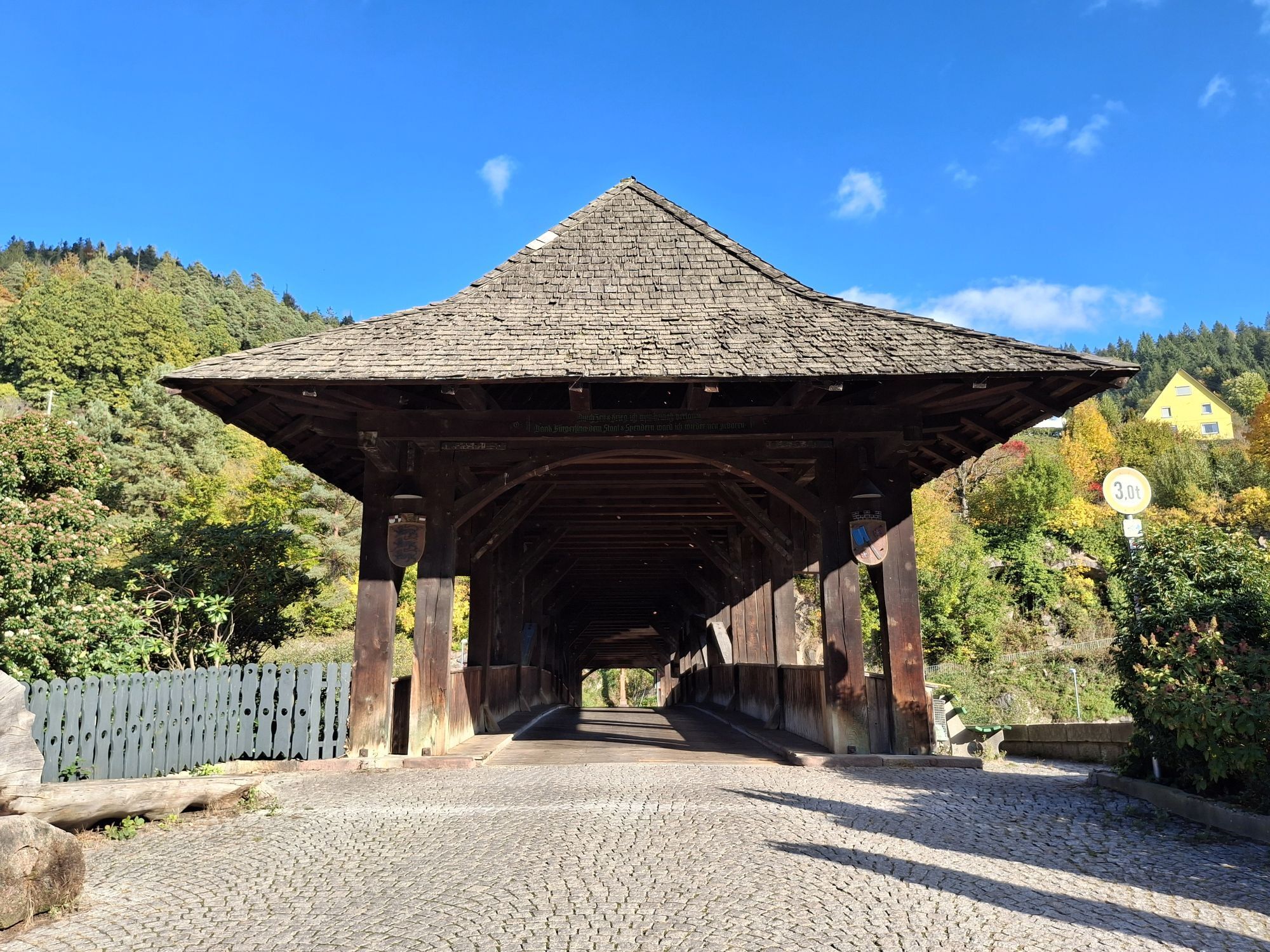

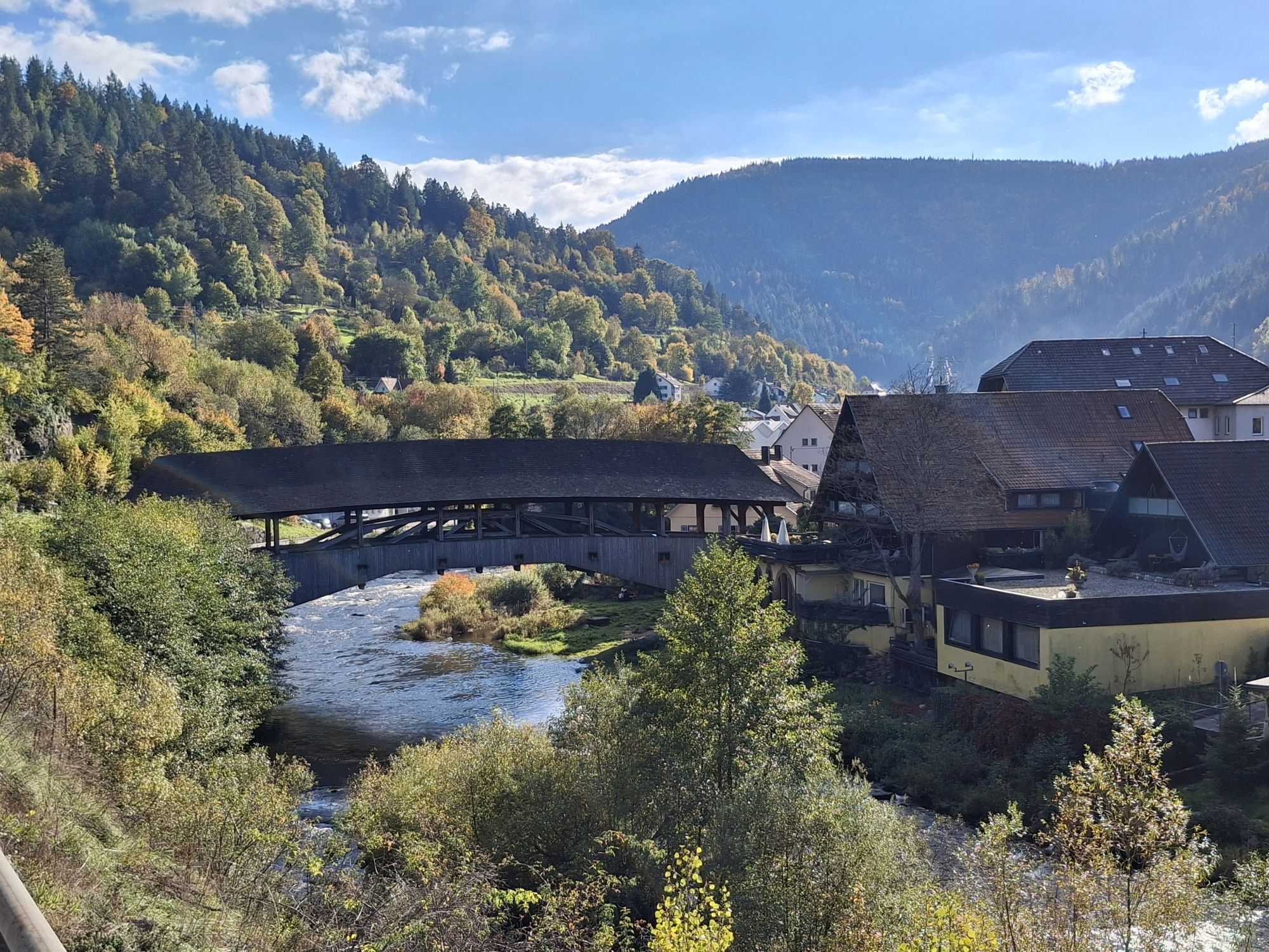



From the historic wooden bridge over the Murg river, the Westweg runs straight through Forbach’s old town. Passing the chapel Maria-Hilf-Kapelle, it ascends up through one of the romantically still valleys...
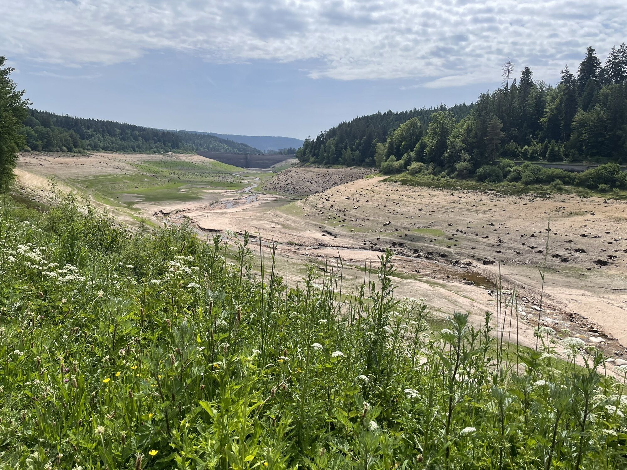
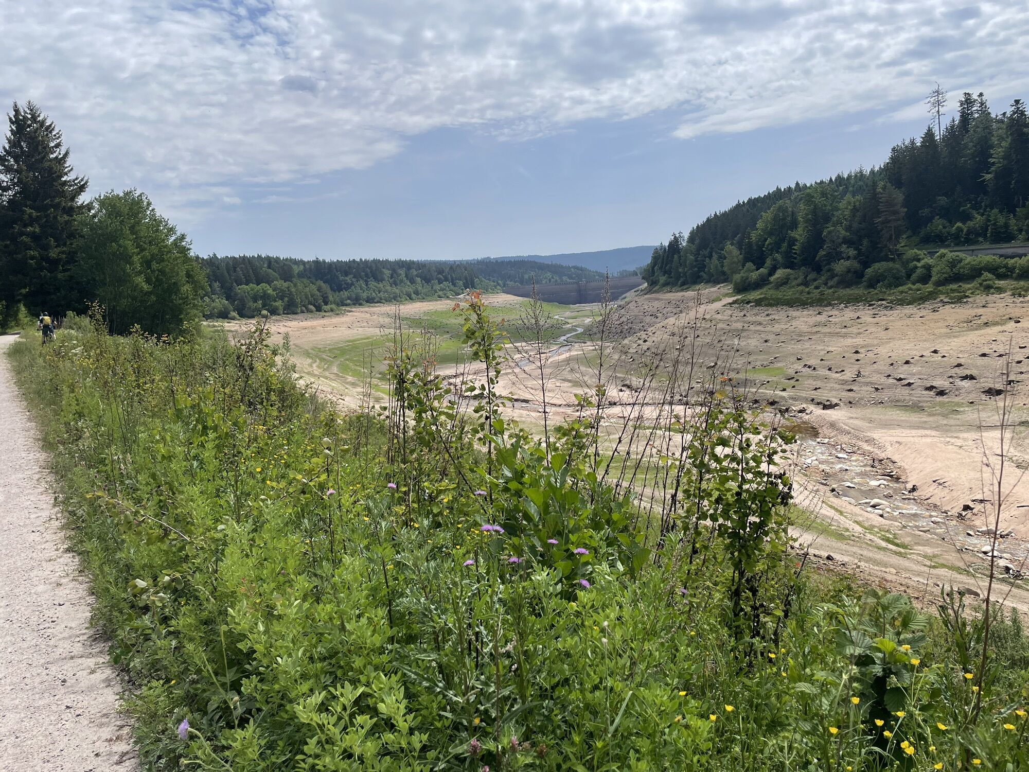
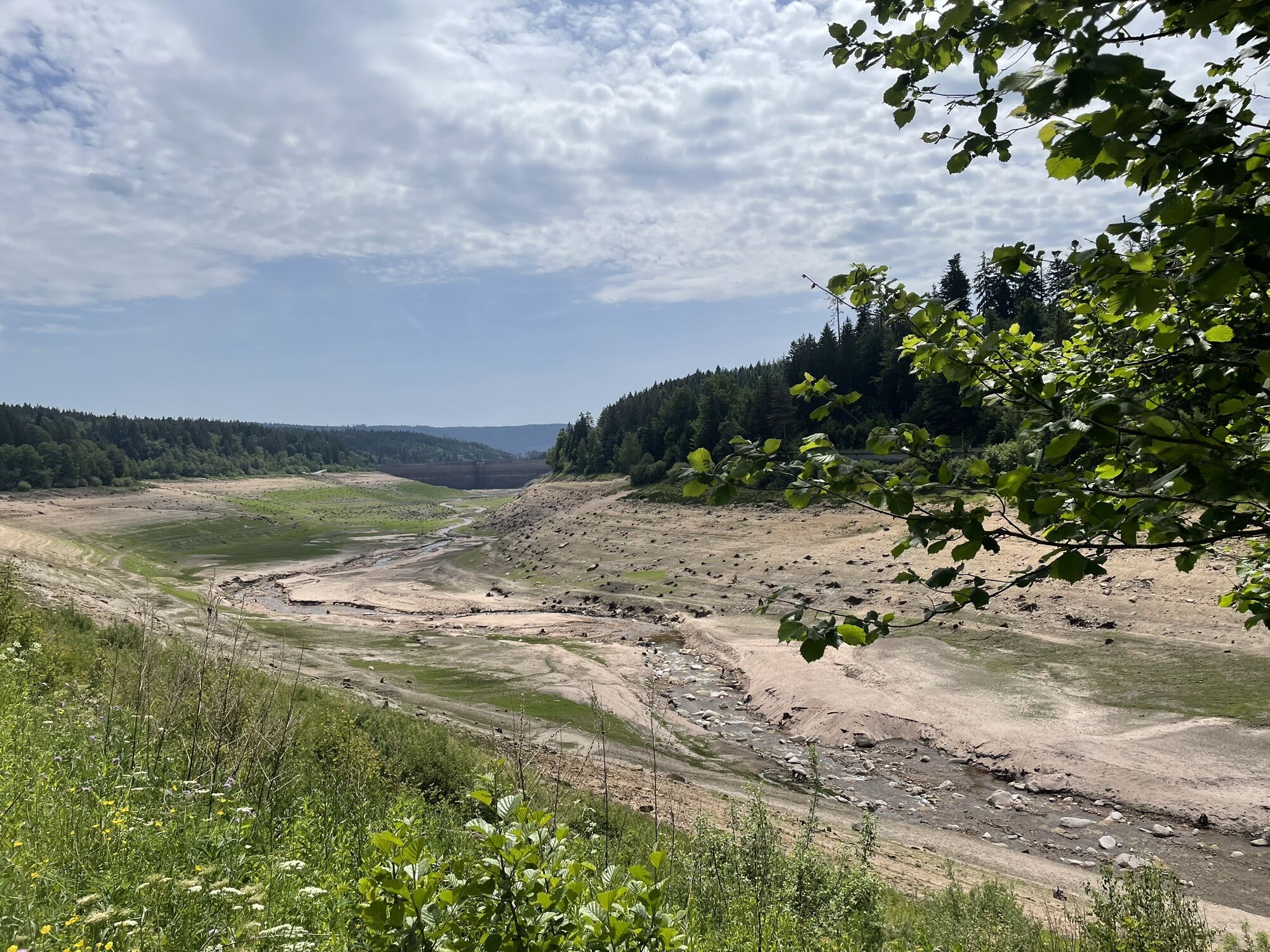
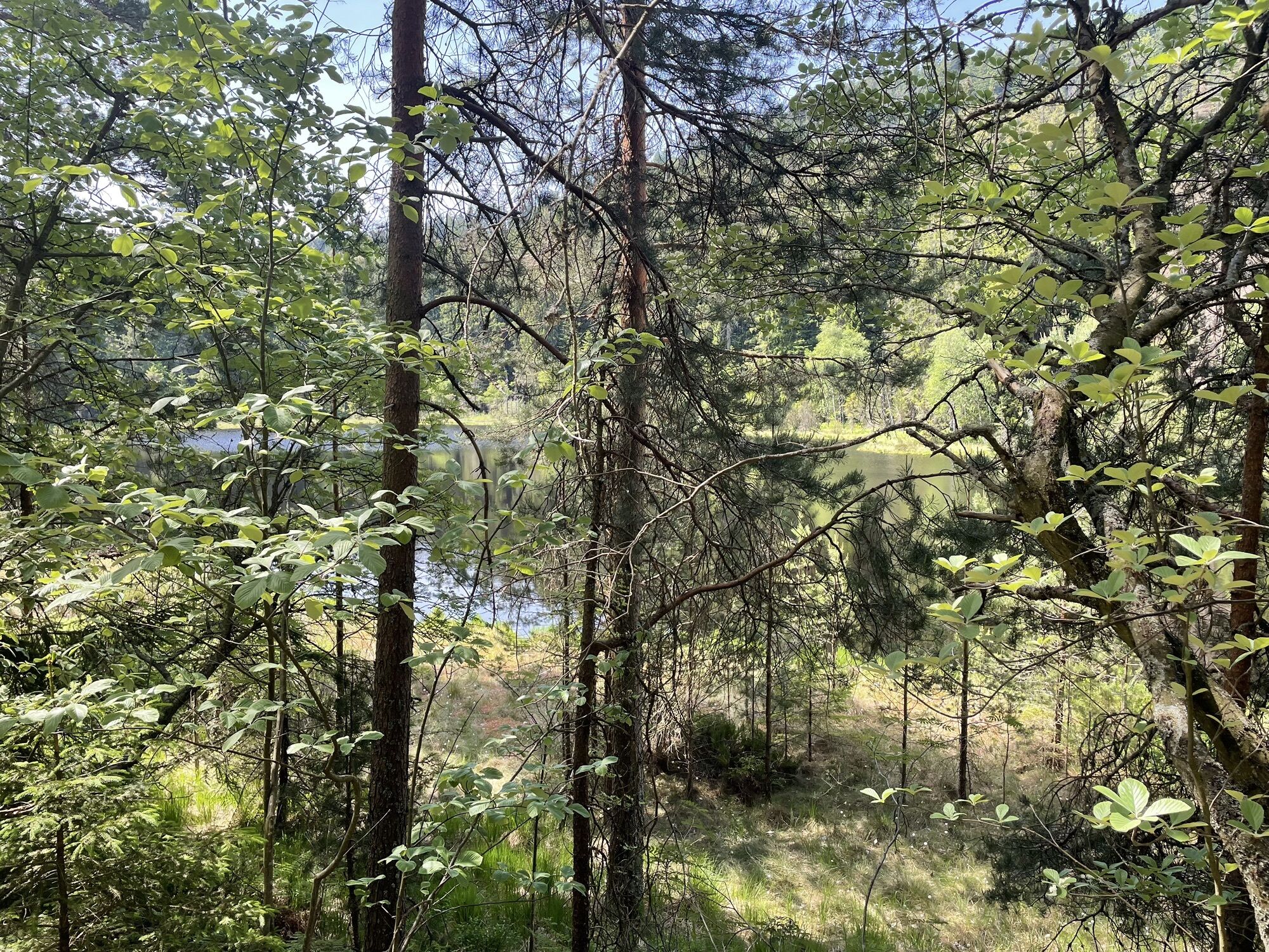
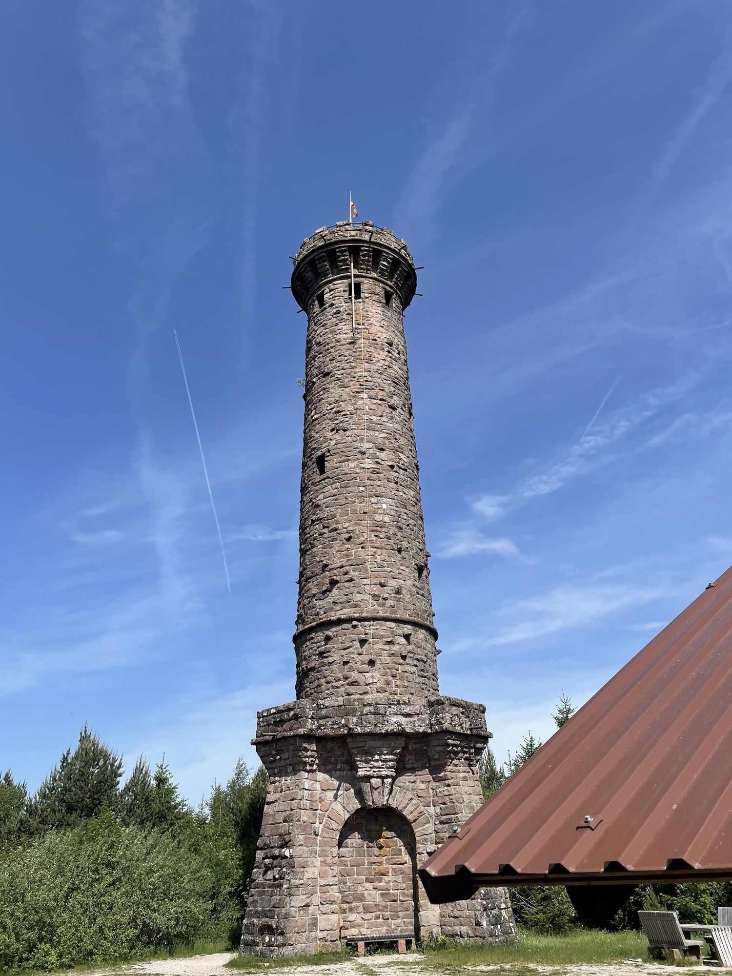
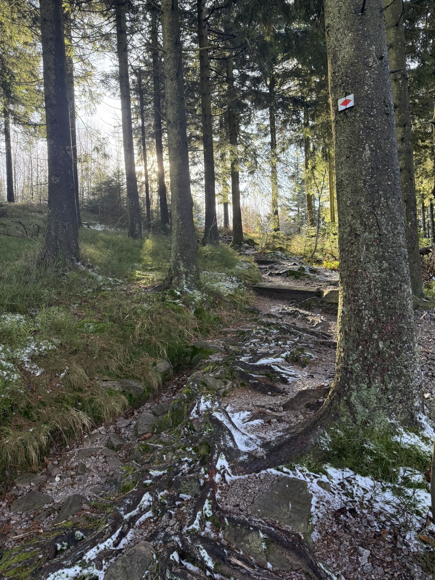
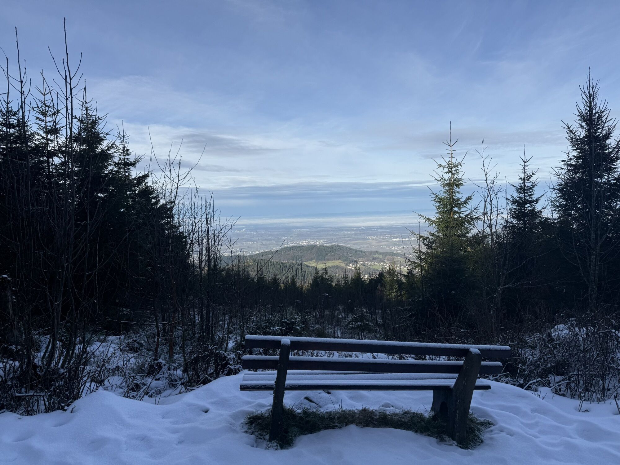
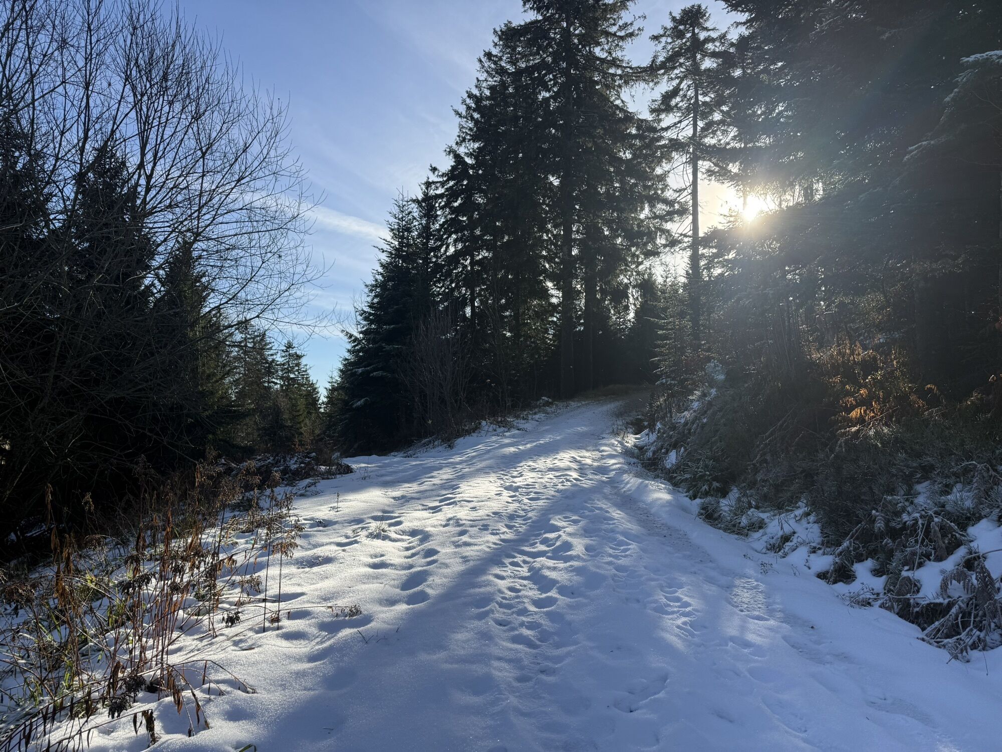
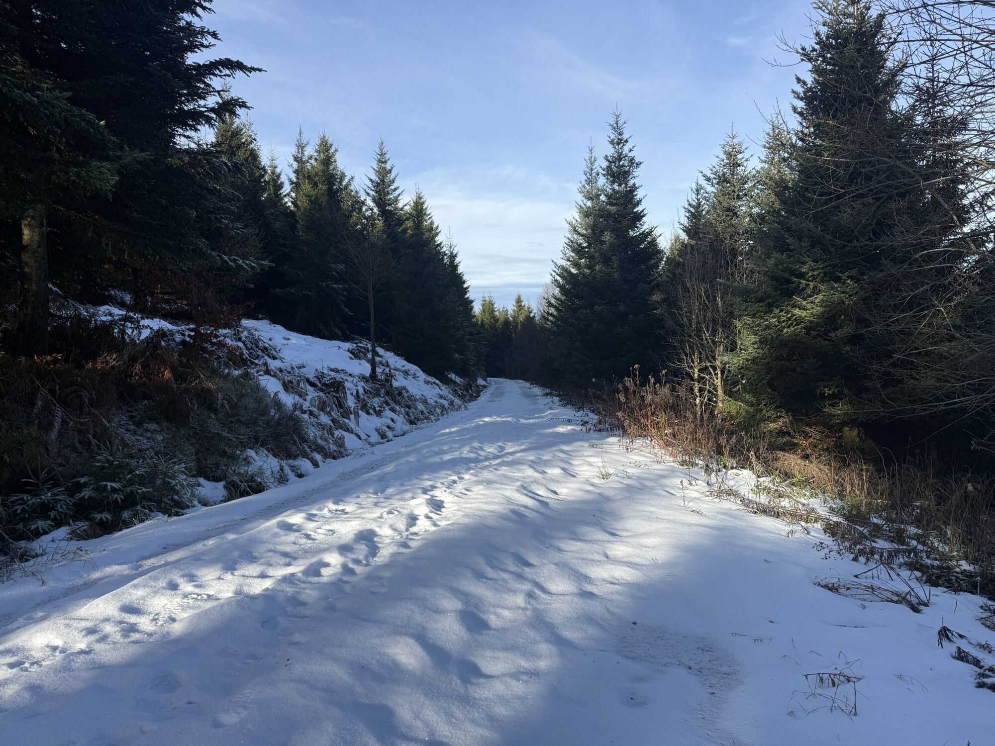
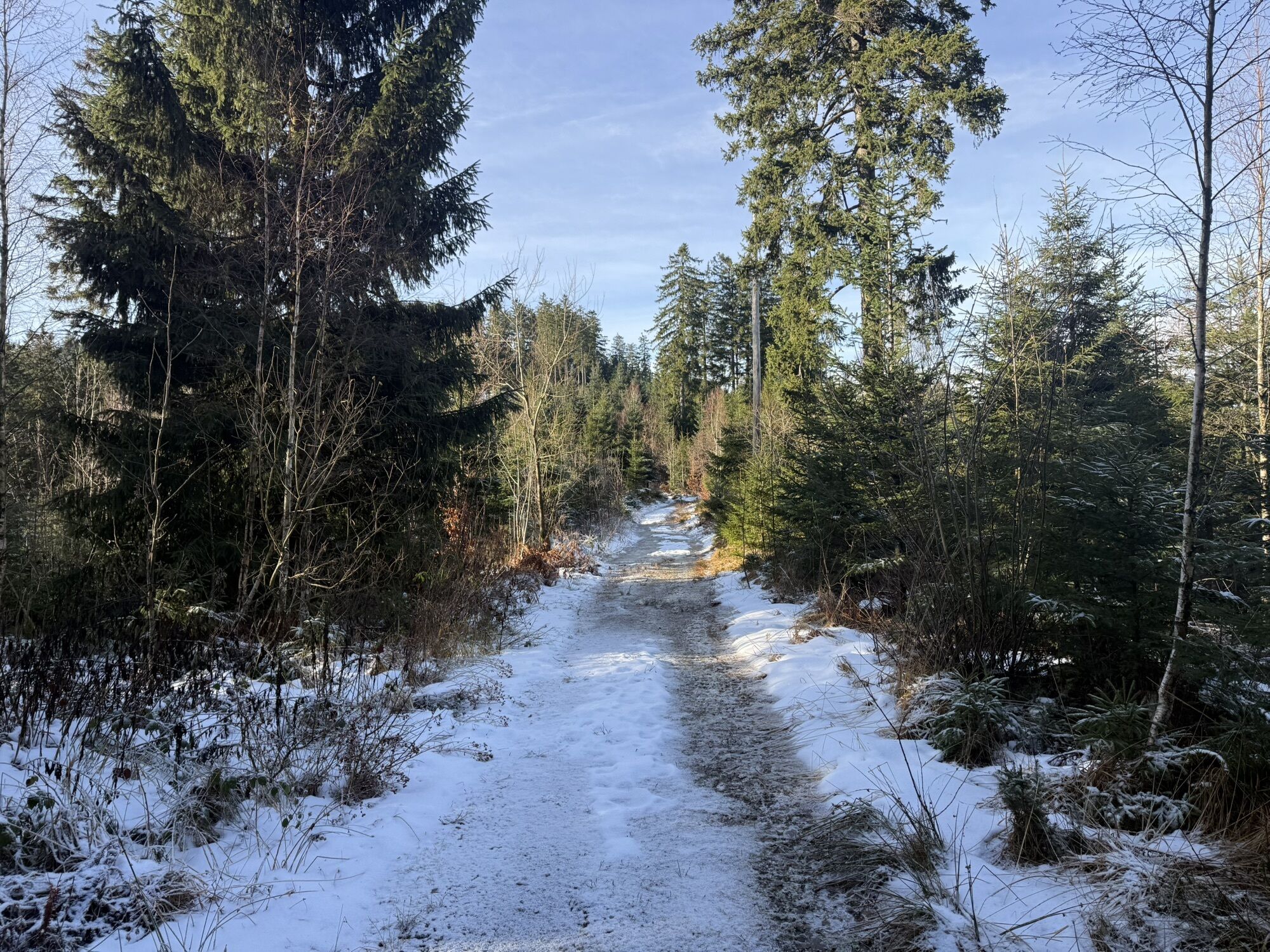
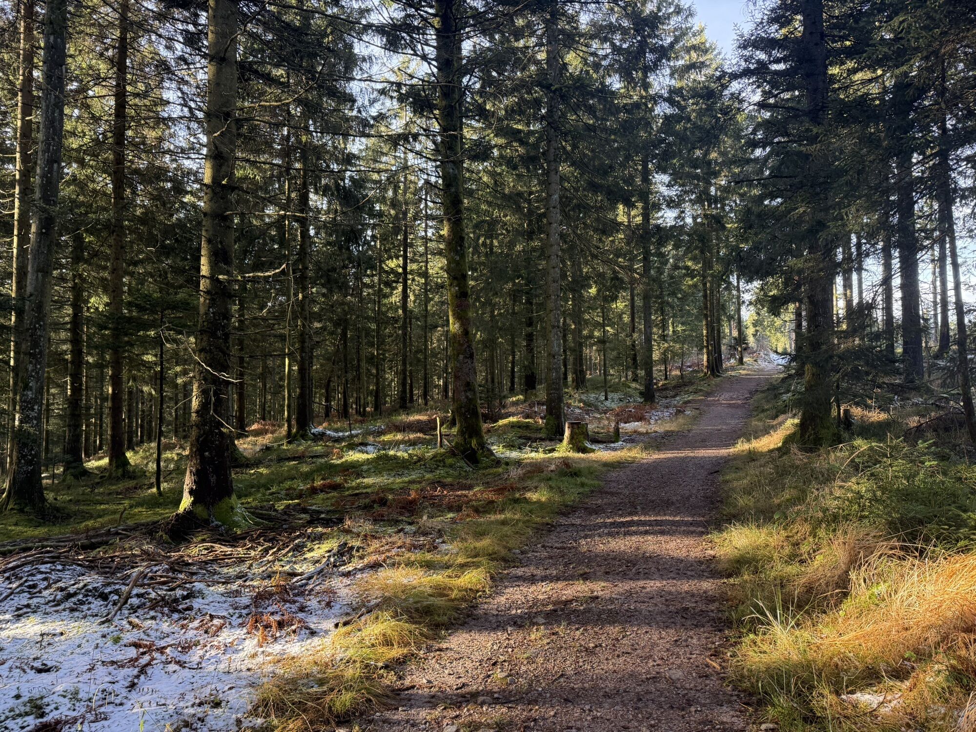
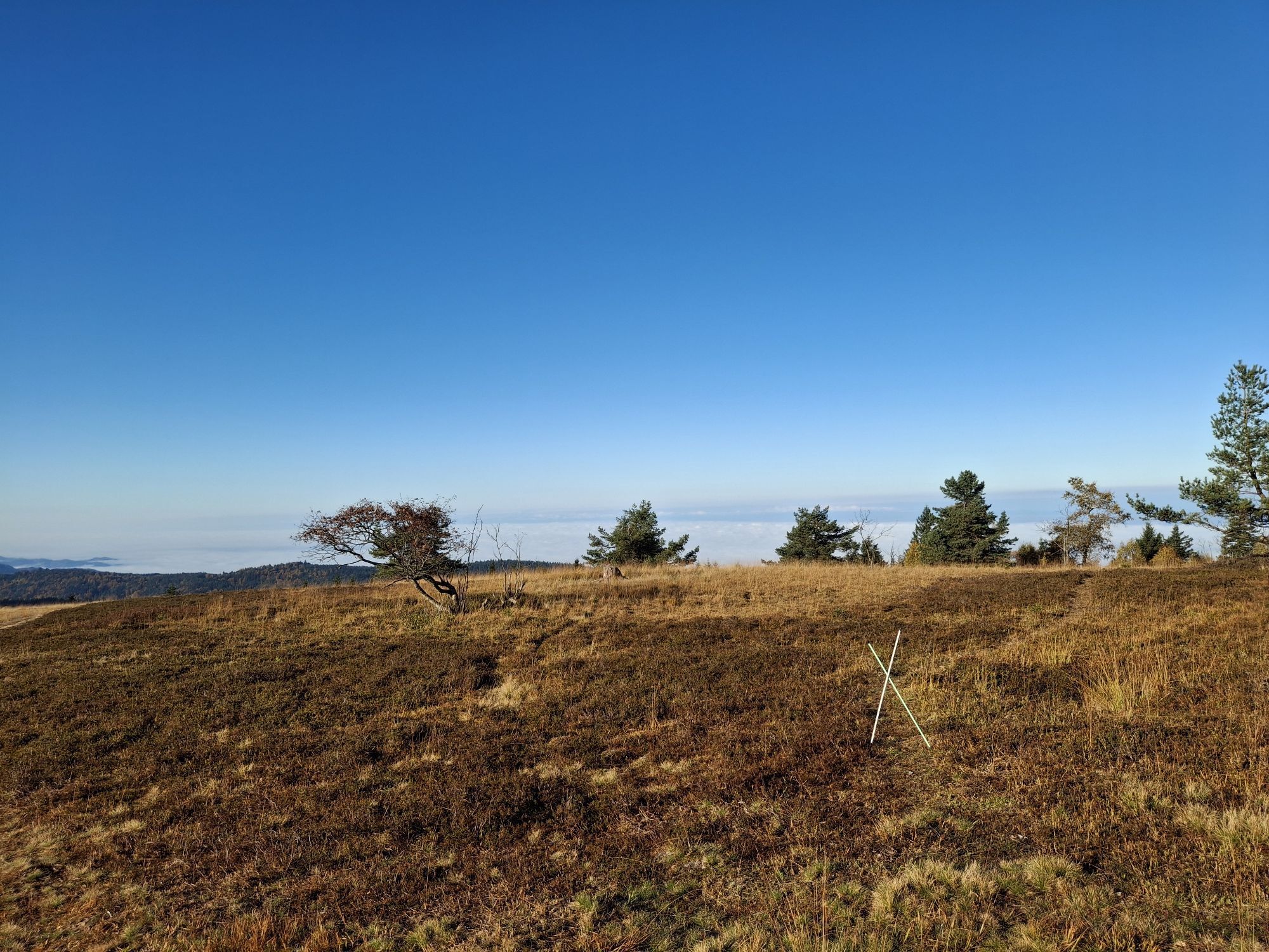
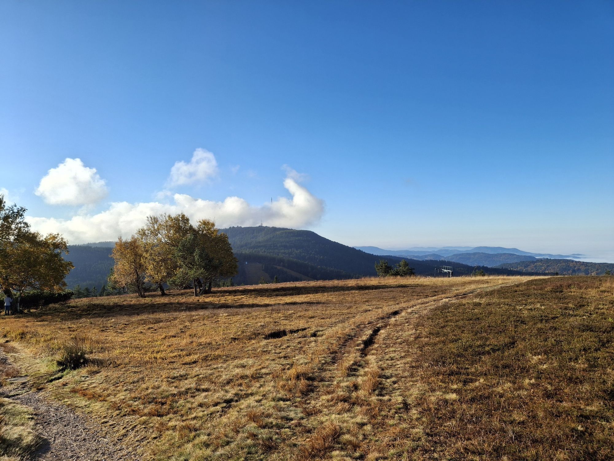
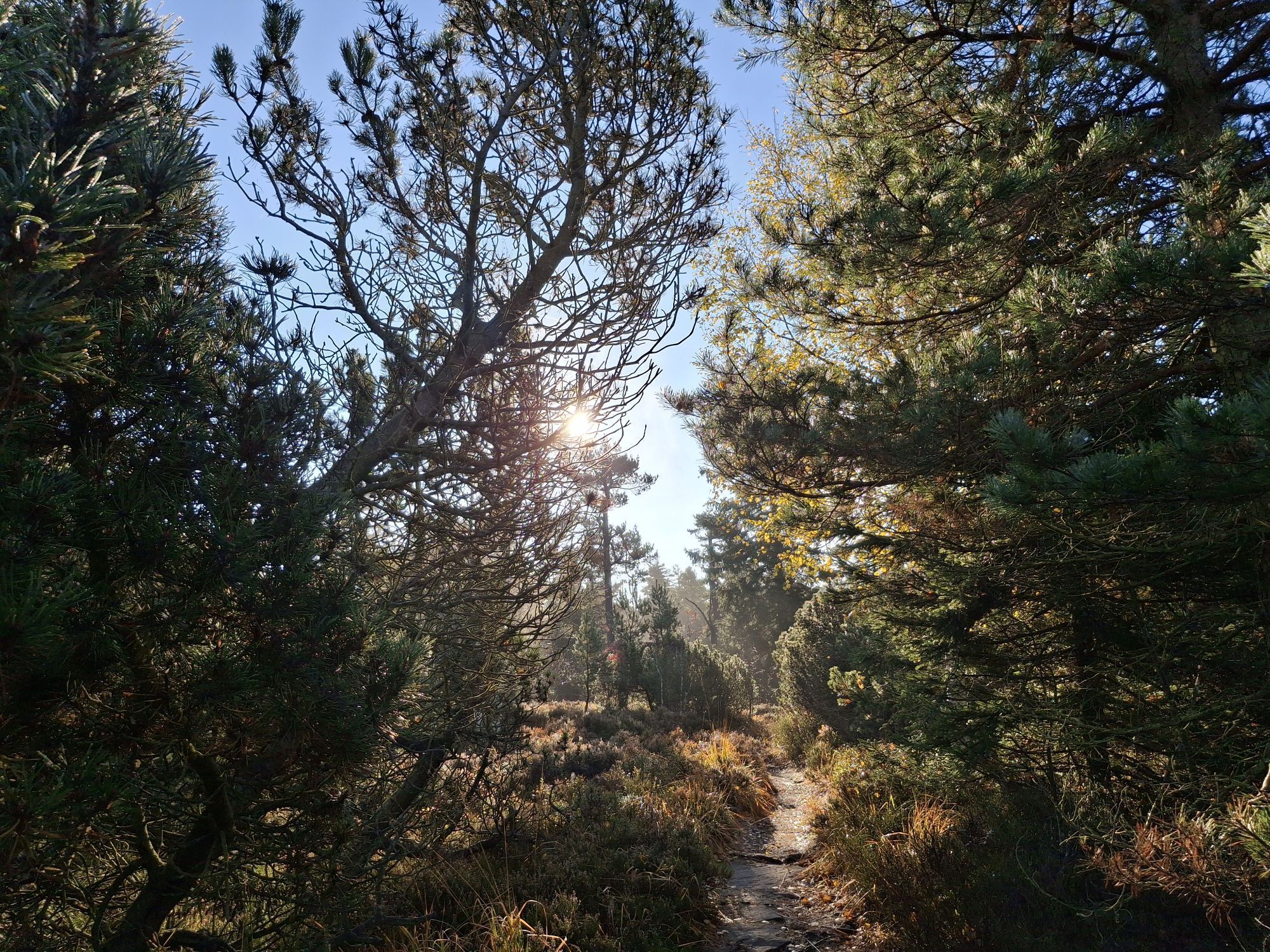
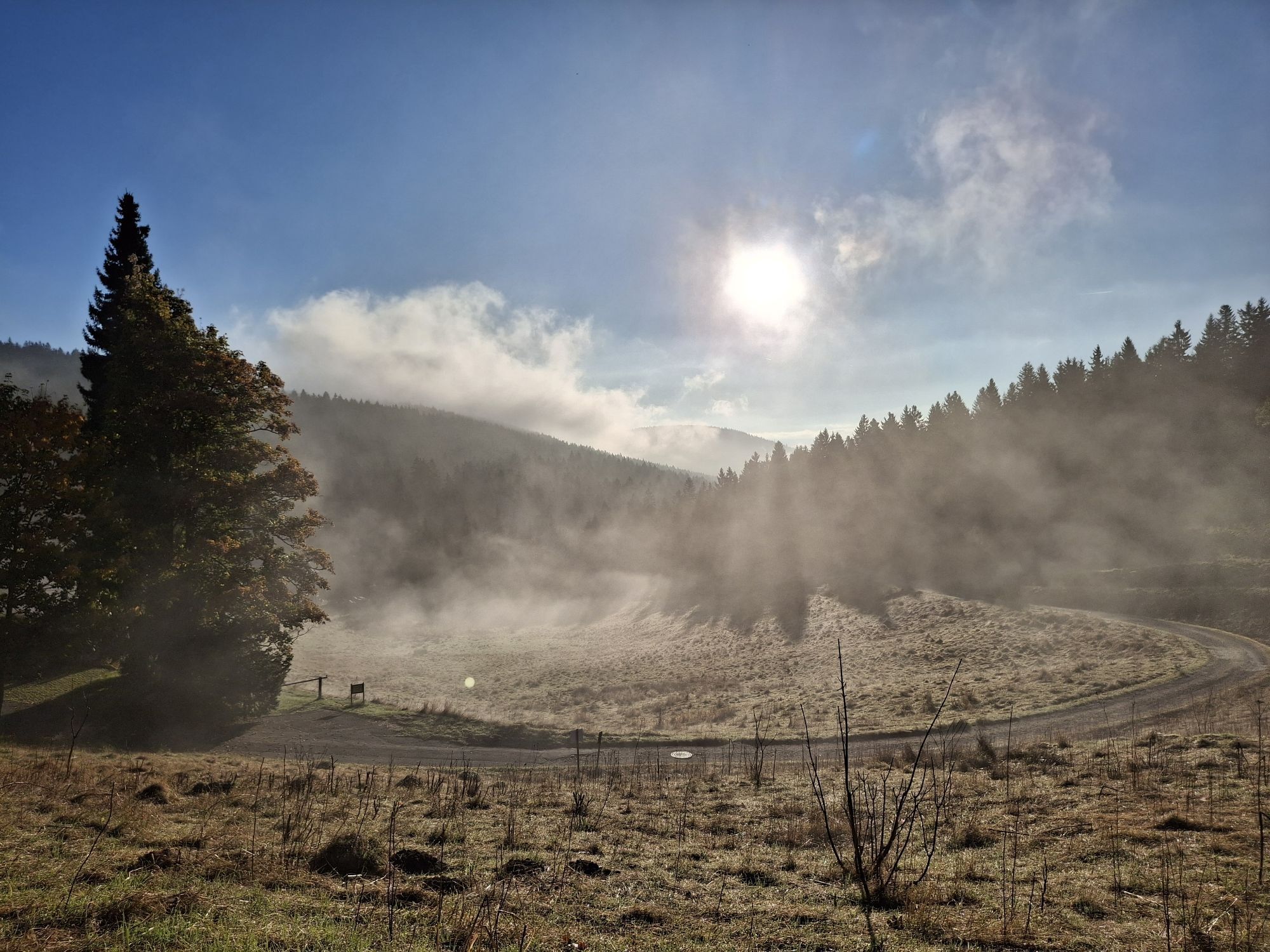
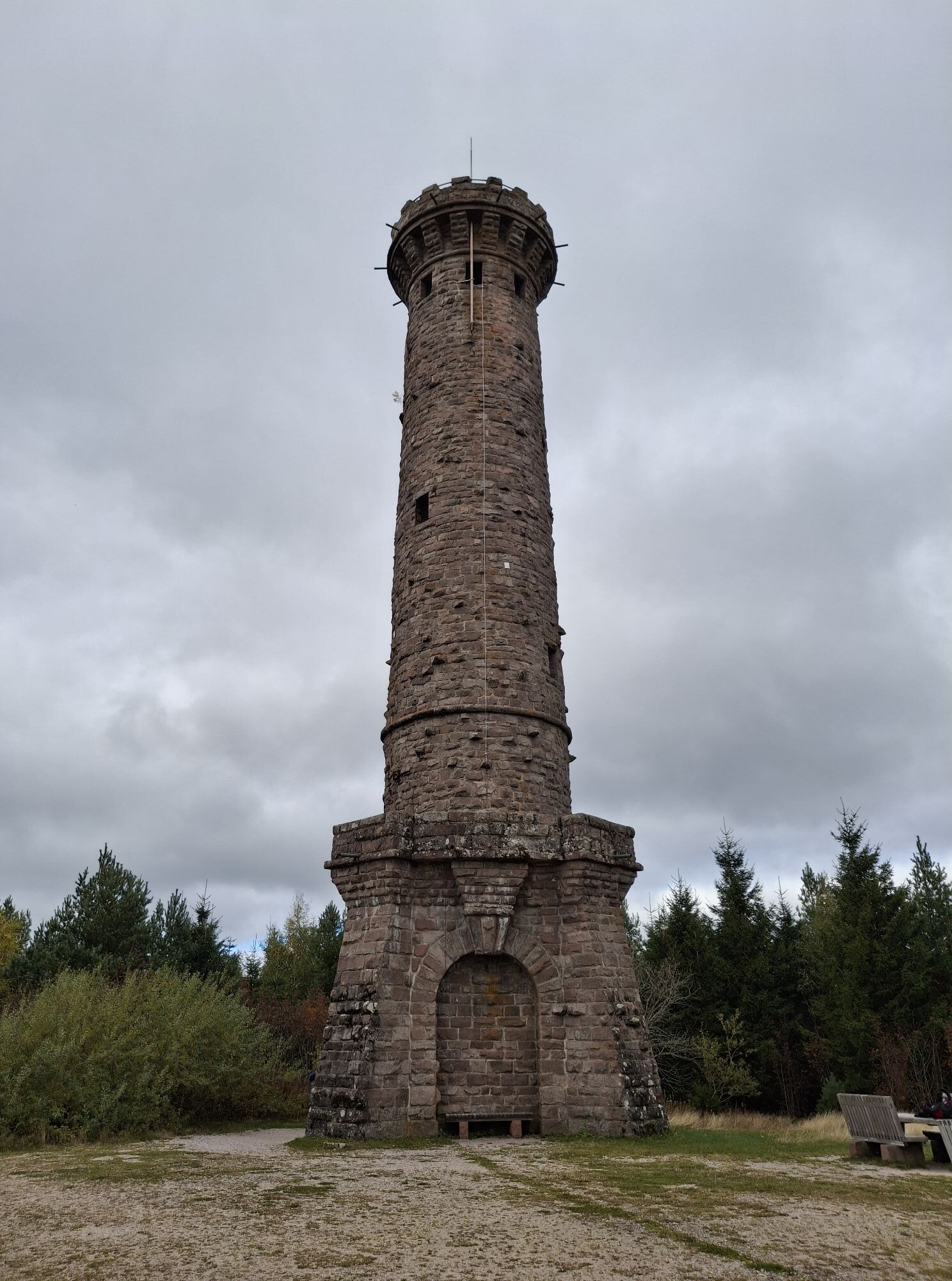
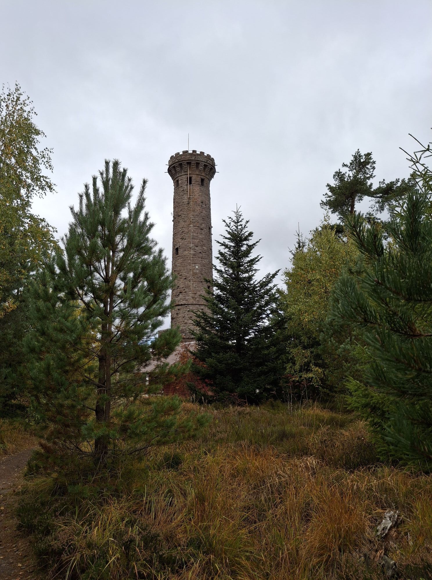
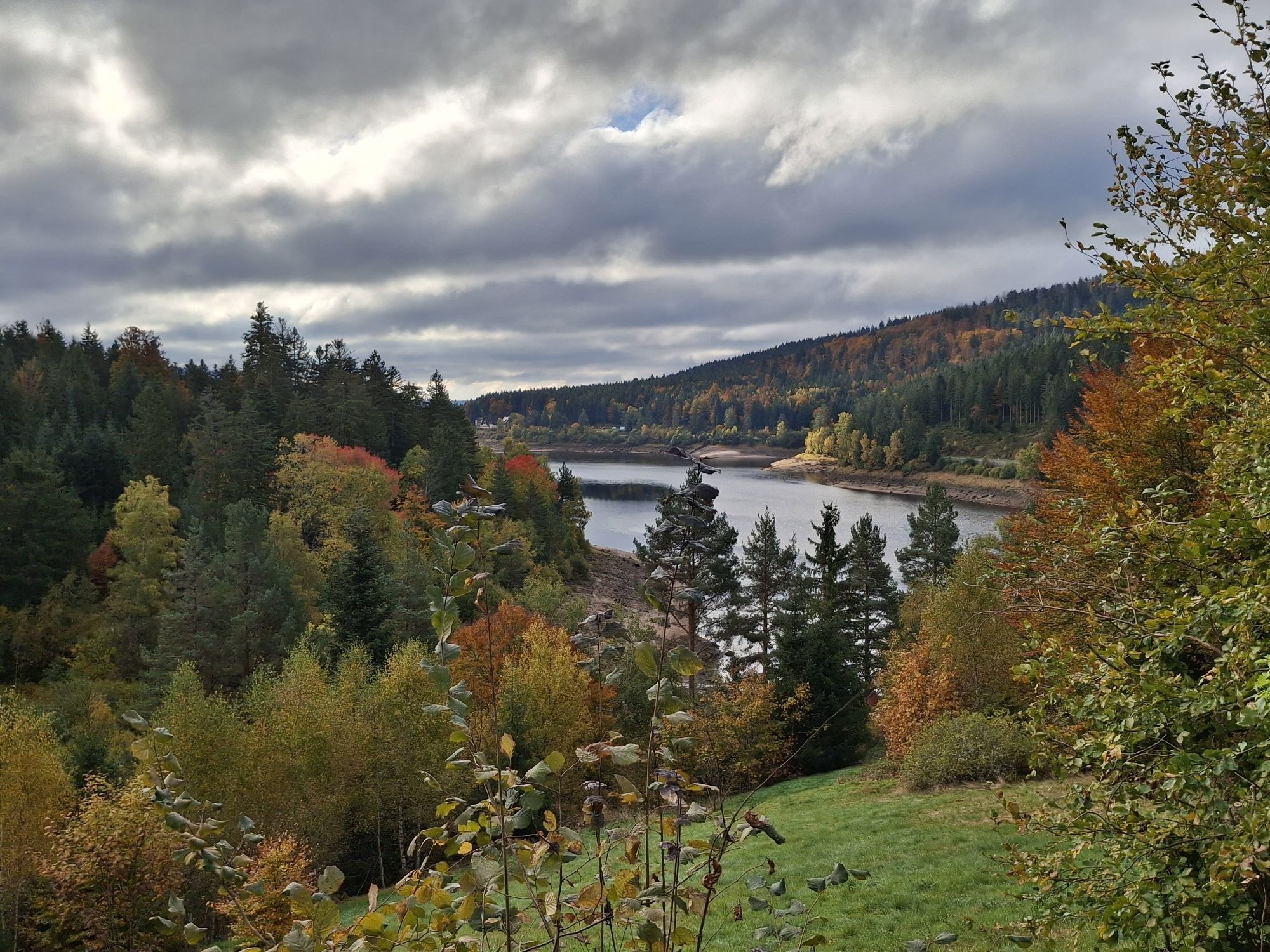
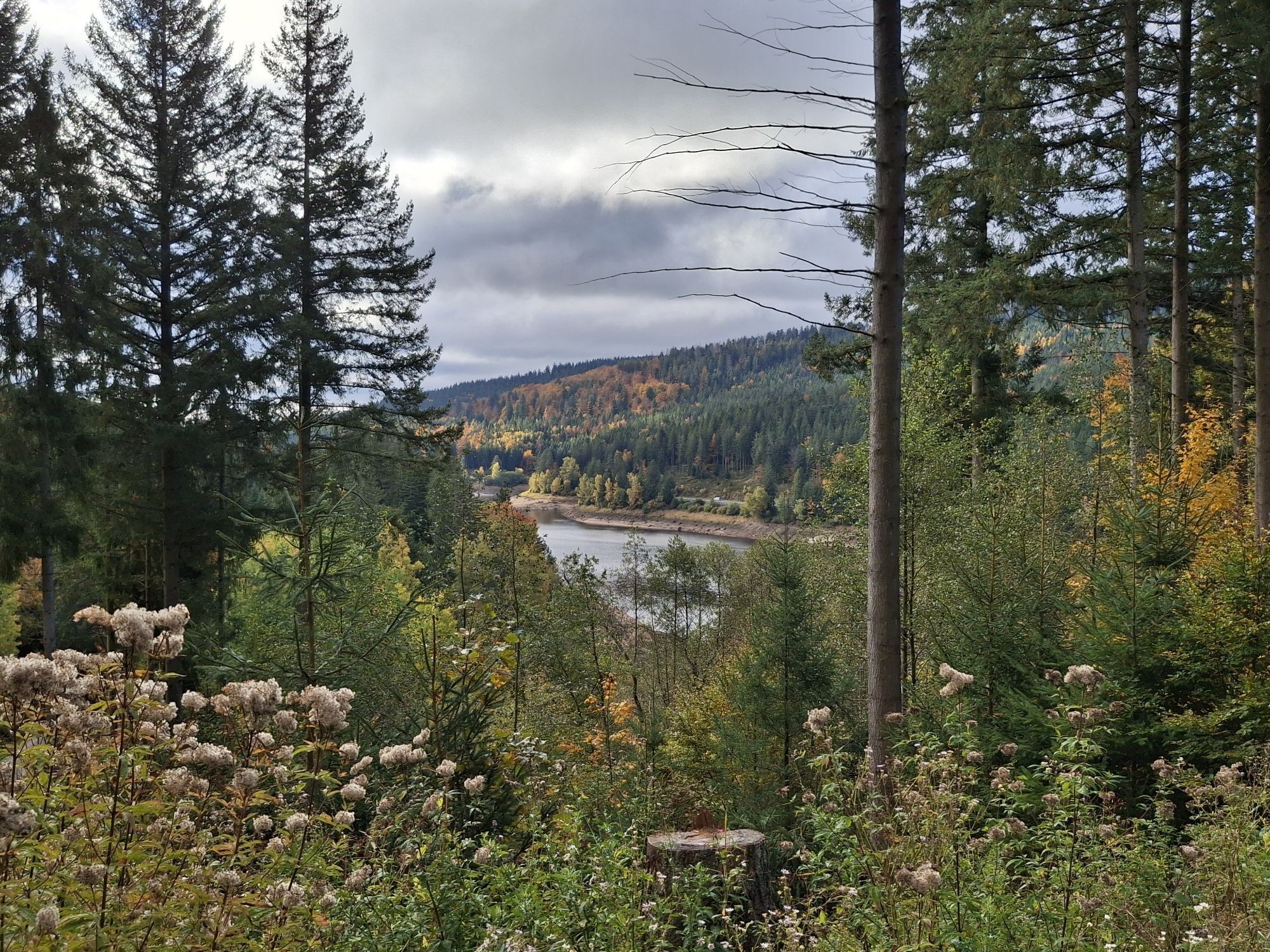
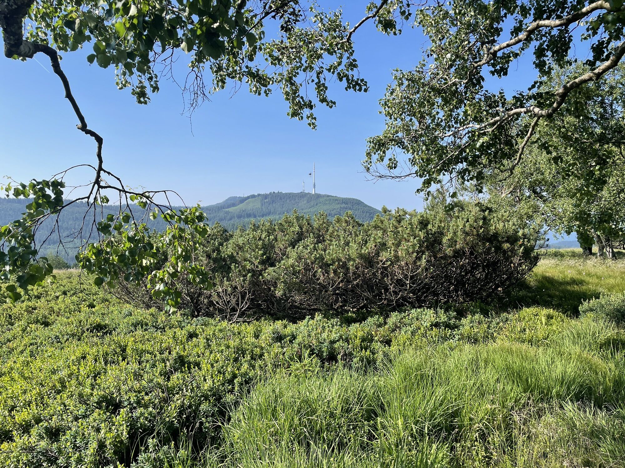
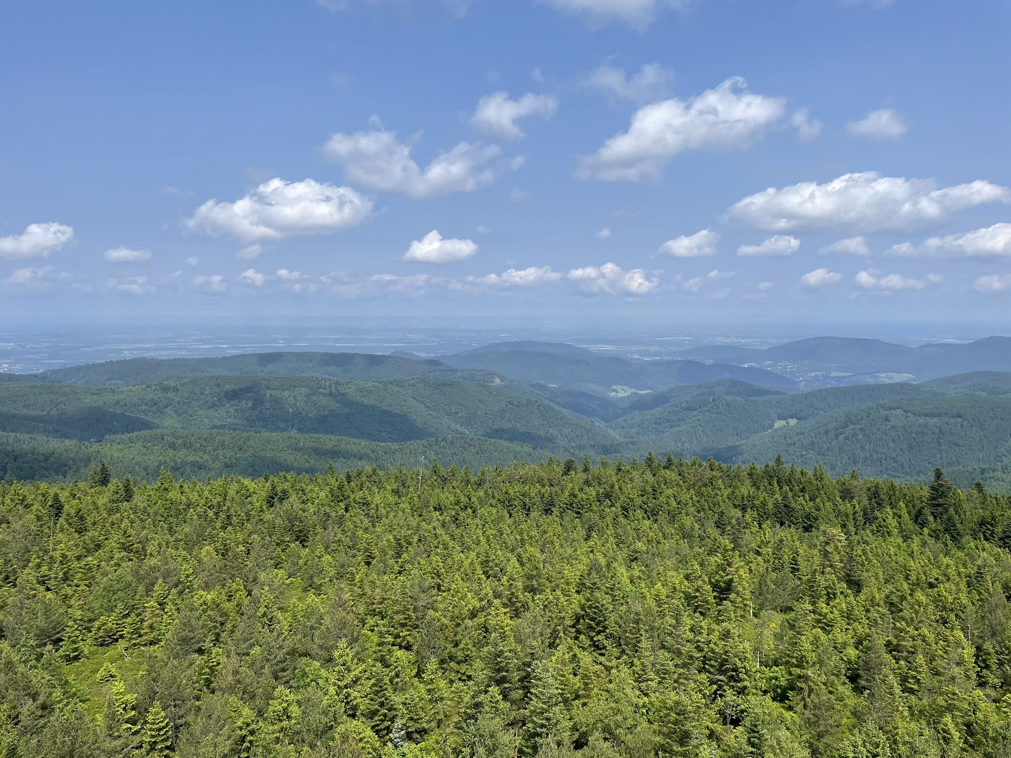
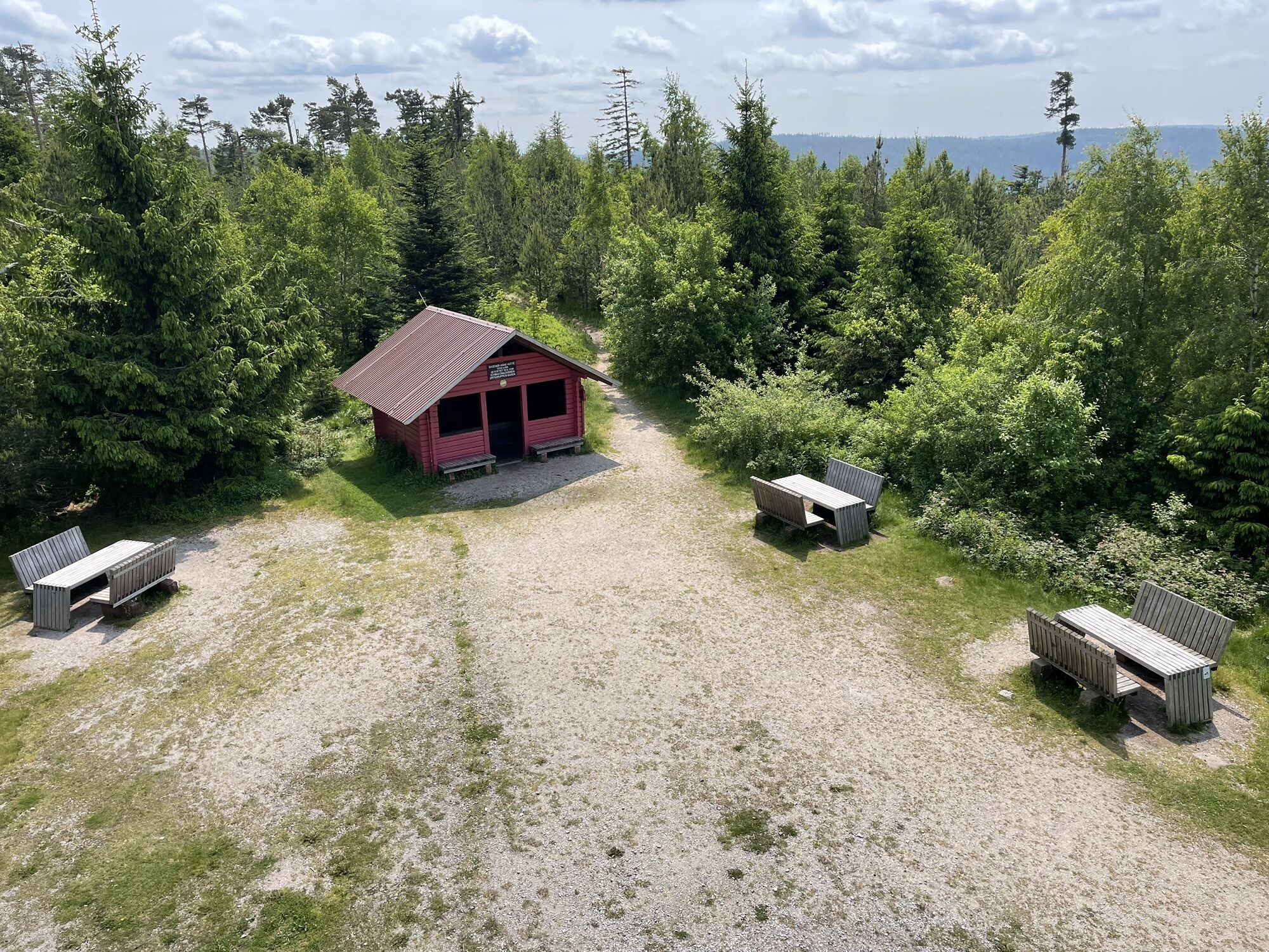
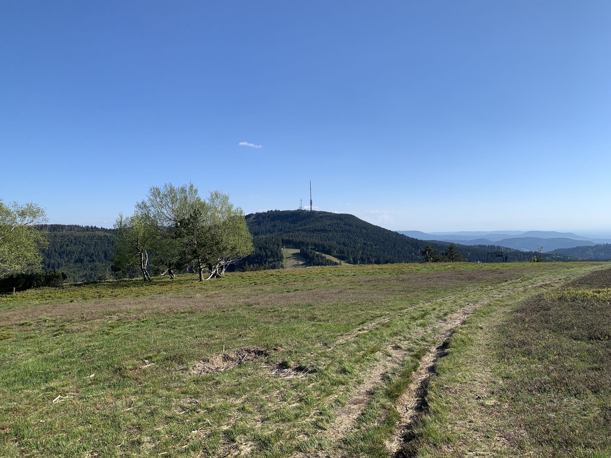
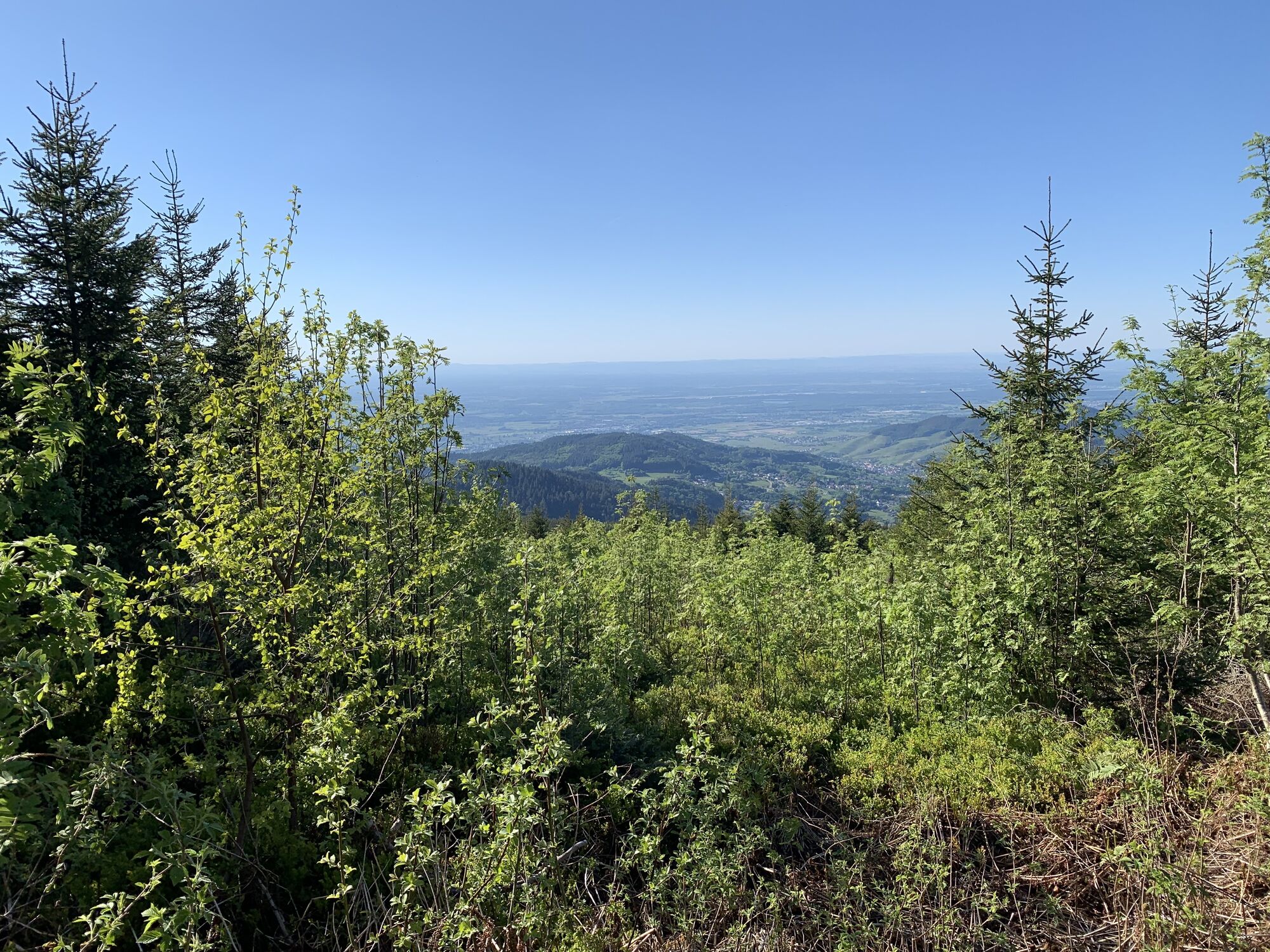
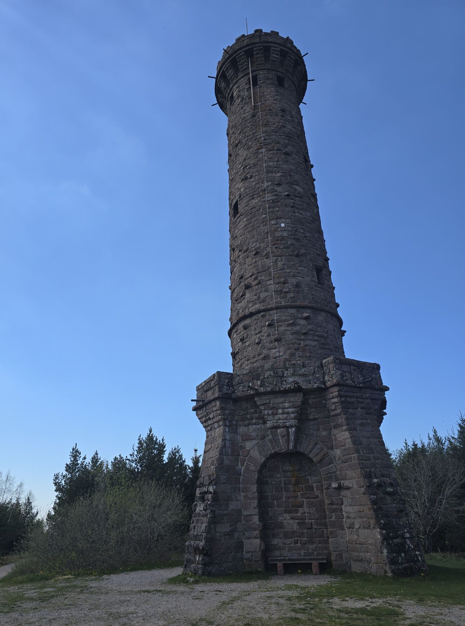
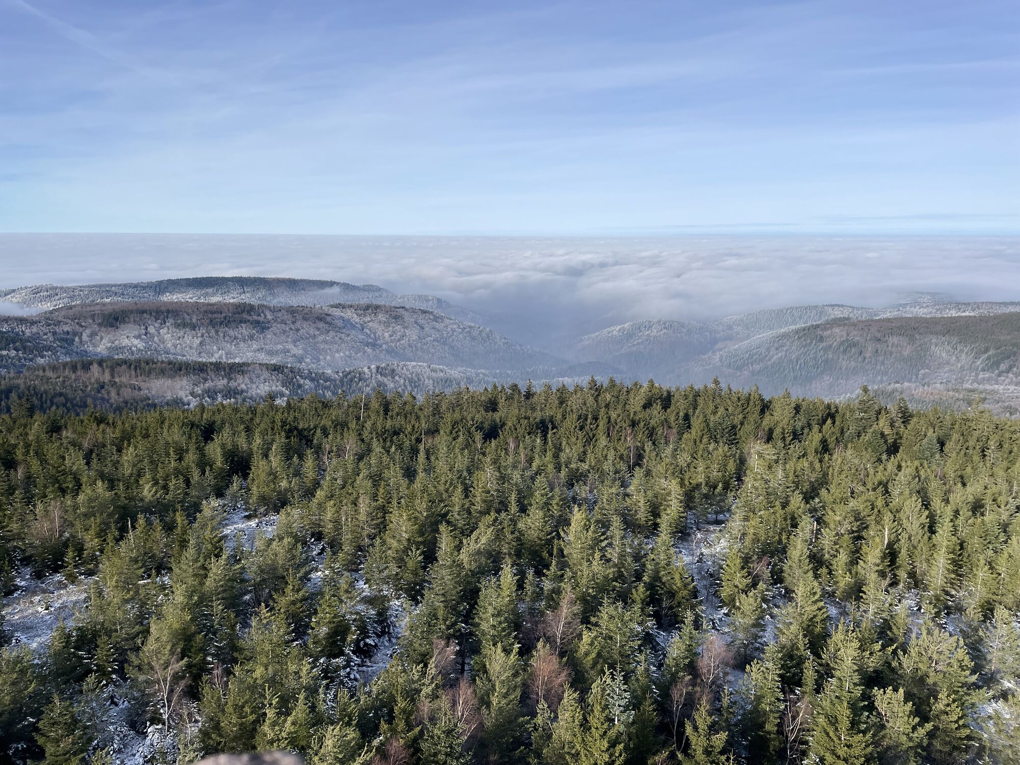
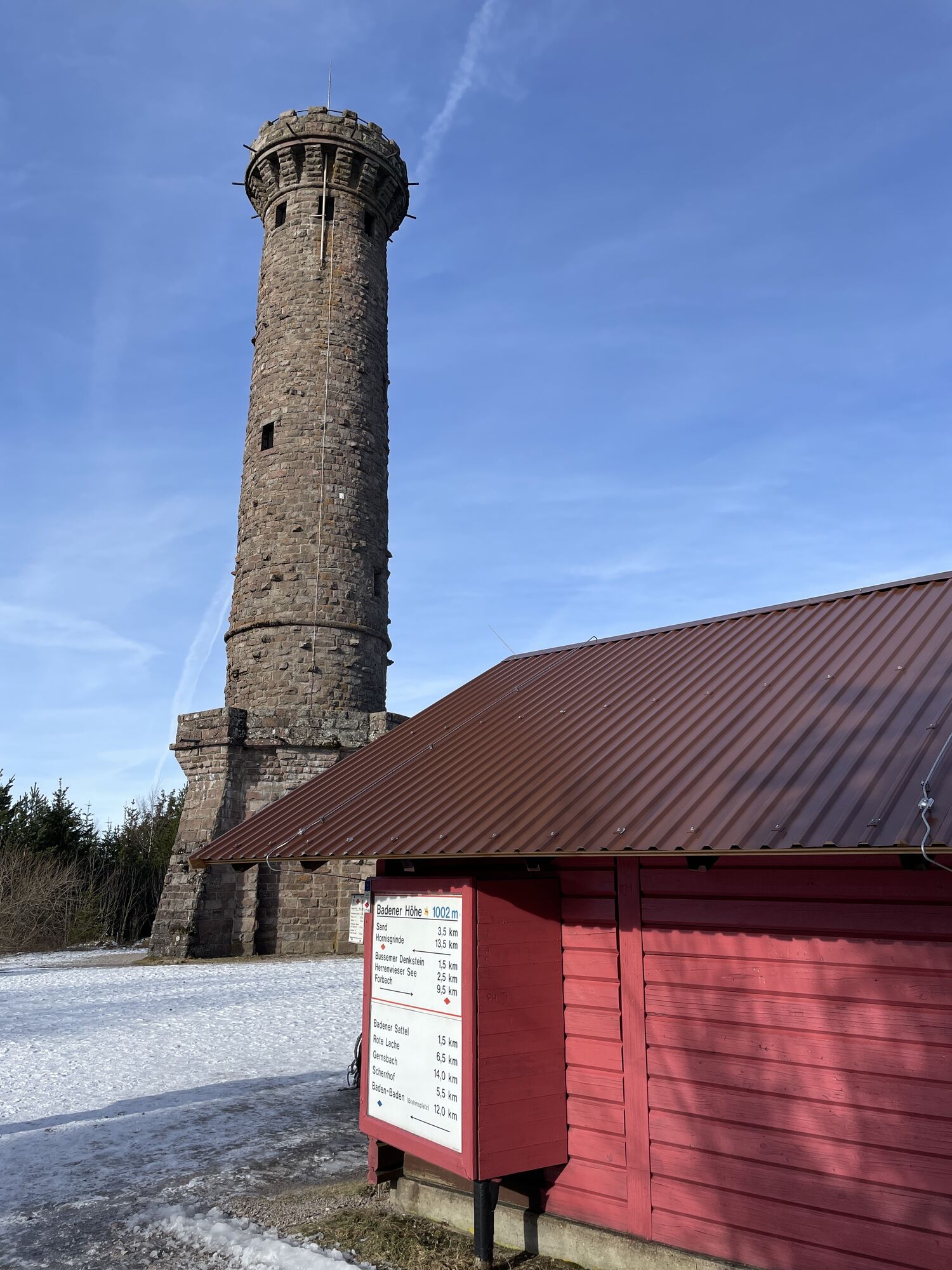
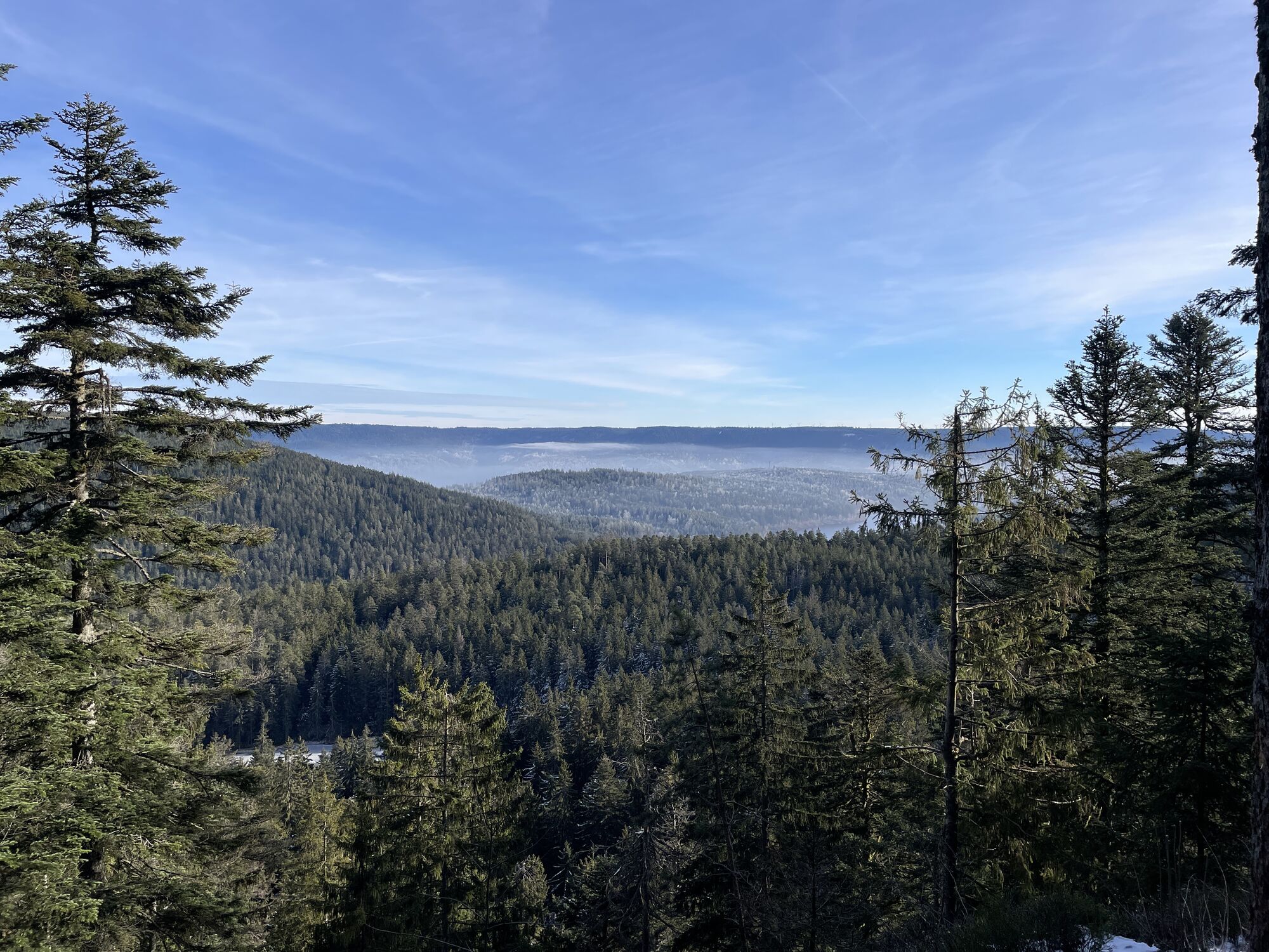
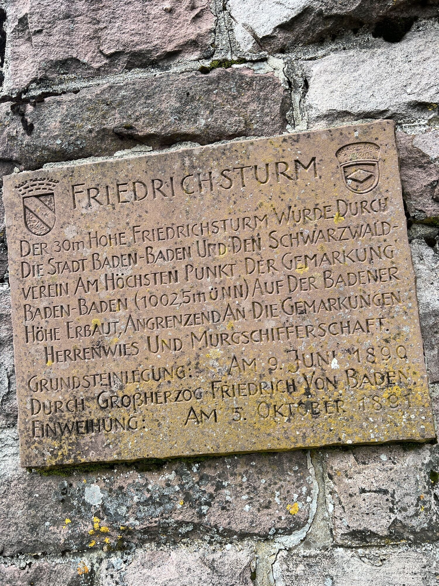
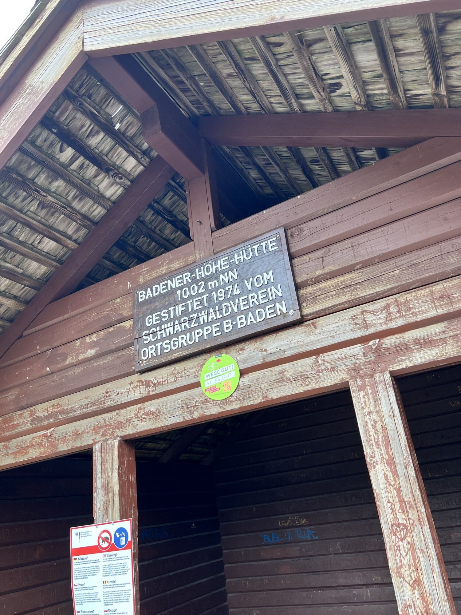
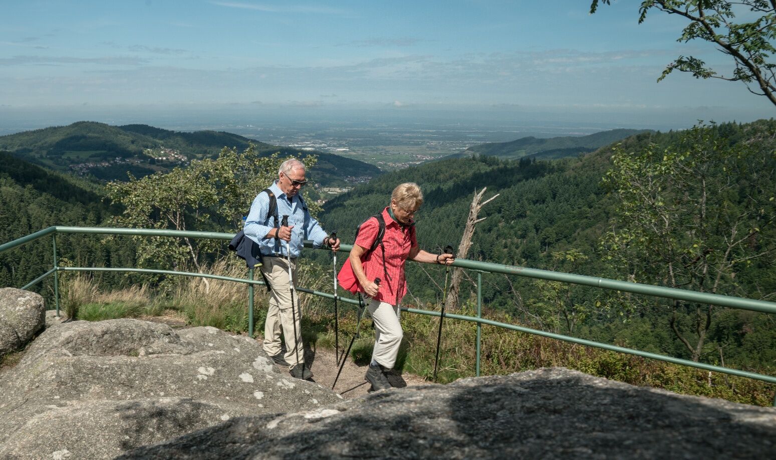
From the historic wooden bridge over the Murg river, the Westweg runs straight through Forbach’s old town. Passing the chapel Maria-Hilf-Kapelle, it ascends up through one of the romantically still valleys with hay-drying huts. The first ascent is over 450 meters and leads to Wegscheid; a bit rough on the legs early in the morning. The soft descent down into the Schwarzenbach valley dam gives the calves an opportunity to relax. The valley dam, with the largest lake in the Northern Black Forest, feeds the Forbach pumped storage power plant, whose powerful compression lines are just a short distance away from the Westweg via a small detour down into Murgtal valley. The long ascent out of Murgtal valley adds another 350 meters to the climb up to the first thousand-meter mountain in the Northern Black Forest. The steep, rocky trail up to Seekopf (1,001m) passes the calm lake Herrenwieser See, whose 170-meter high bowled rock wall, which is the highest in the Northern Black Forest. At the memorial rock for Philipp Bussemer, one of the two pioneers of the Black Forest Association the first time the Westweg was marked, you’ll find a small, quiet, inviting bank for taking a break under the rhododendrons. Just one meter higher, you’ll find Badener Höhe (1,002m) and the Friedrichsturm Tower, visible from a considerable distance. At Sand, the Westweg meets with Schwarzwaldhochstrasse trail, which it follows until the Hundseck lift. One final ascent brings hikers to Hochkopf, the first peak on the Westweg in the Grinden area. The trail leads through a rustic highmoor landscape down to Unterstmatt.

To Forbach: From Baiersbronn (30 min, 1x per hour), Freudenstadt (45 min, 1x per hr) or Karlsruhe (ca. 1 hr., 1-2x per hr).
From Unterstmatt: take bus 245 to Baden-Baden train station (ca. 50 min, ca. 1x per hour).
Gertelbach falls are among the highest waterfalls in Germany and can be reached on a detour from Sand via the Wiedenfelsen cliffs, which stand tower-like over Bühlertal valley. Don’t hesitate to climb all the way up and then down to the foot of the waterfalls, for they are best appreciated from below. Above the waterfall, there is a marked trail that leads directly to the Hundseck lift.
Získajte prehľad
Vždy naživo na mieste s viac ako 9 500 webovými kamerami. bergfex Ako používateľ Pro si teraz môžete pozrieť príslušné webové kamery pre mnohé zájazdy v aplikácii zájazdy z. Môžete si tak priamo prezerať aktuálne podmienky.

Obľúbené výlety v okolí
-
5,0
Ottenhöfen - Eichkopf - Karlsruher Grat
strednáTuristika 13,7 km -
3,9
Schnapsbrunnenweg 2
strednáTuristika 12,8 km -
5,0
Bannwald-Tour
Turistika 13,3 km -
4,5
Schnapsbrunnenweg 1
svetloTuristika 7,45 km -
4,2
Kaltenbronn Circular Route No. 1 - Wildsee Moor Loop
svetloTuristika 8,30 km -
4,7
premium hiking trail Enzquellenpfad
strednáTuristika 19,9 km -
4,8
Ottenhöfen - Mühlenweg
strednáTuristika 13,4 km -
4,3
Nature experience tour Kaltenbronn
strednáTuristika 14,2 km -
4,0
Eiszeit-Tour
Turistika 11,7 km -
4,8
Weisenbacher Steig (Rechts der Murg)
strednáTuristika 17,6 km
Turistika a stopovanie


Nenechajte si ujsť ponuky a inšpiráciu na ďalšiu dovolenku
Vaša e-mailová adresa bol pridaný do poštového zoznamu.





