






Great Laufbachtal route (6)
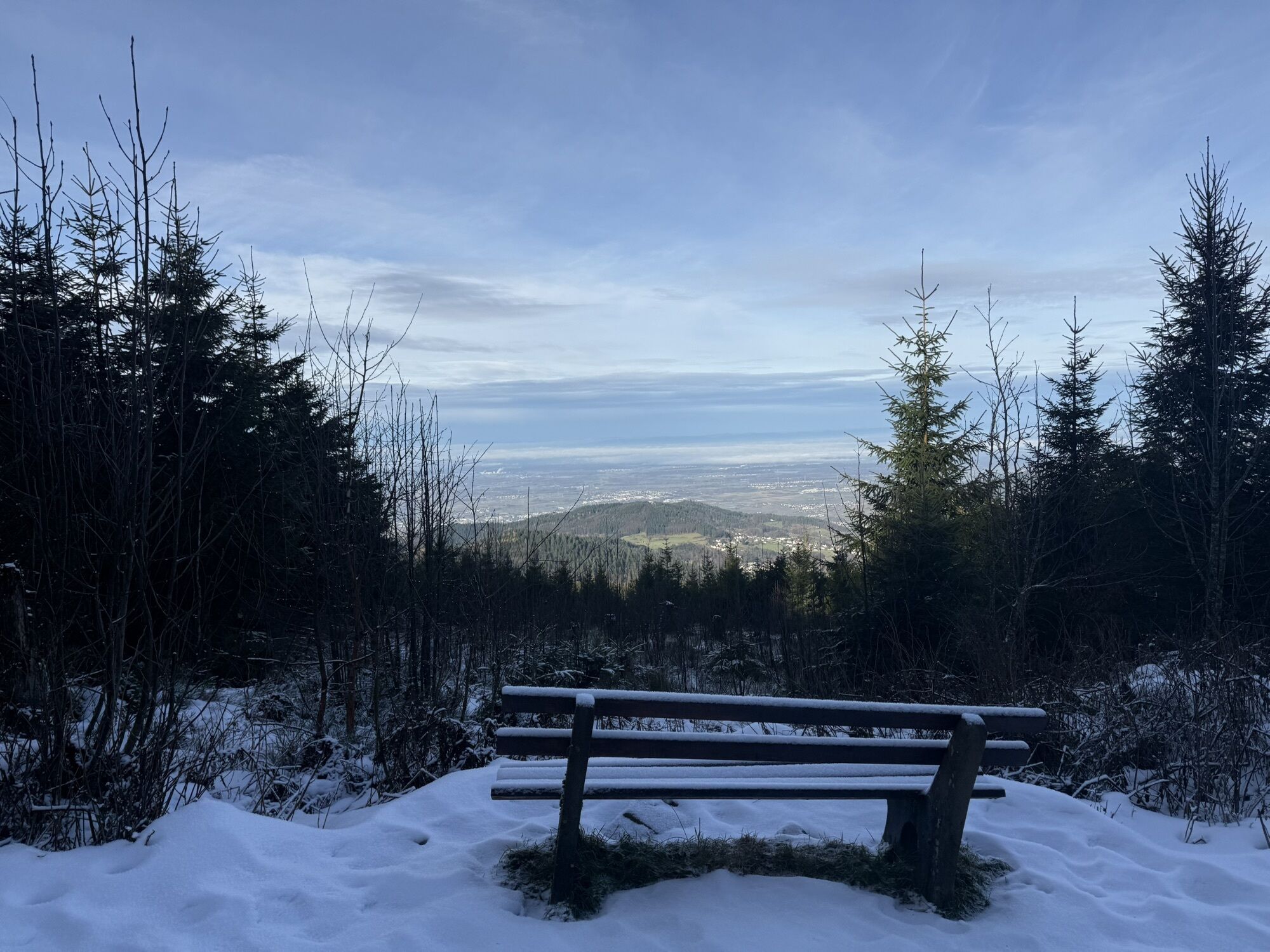
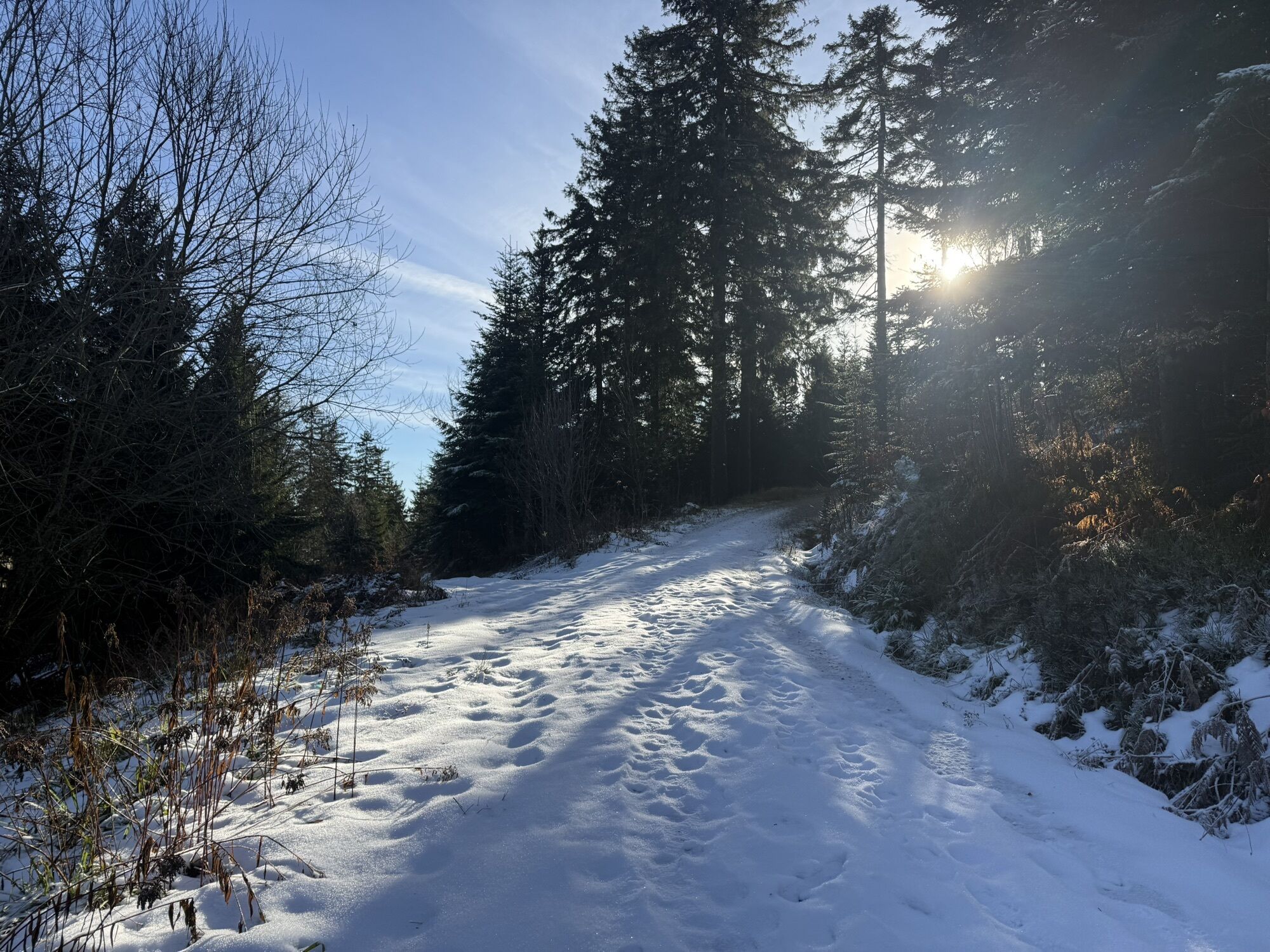
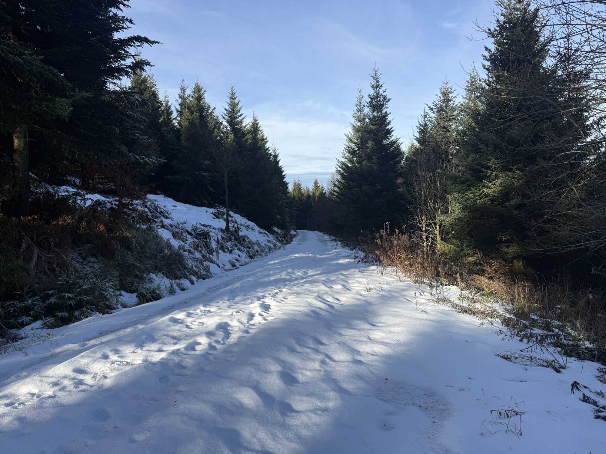
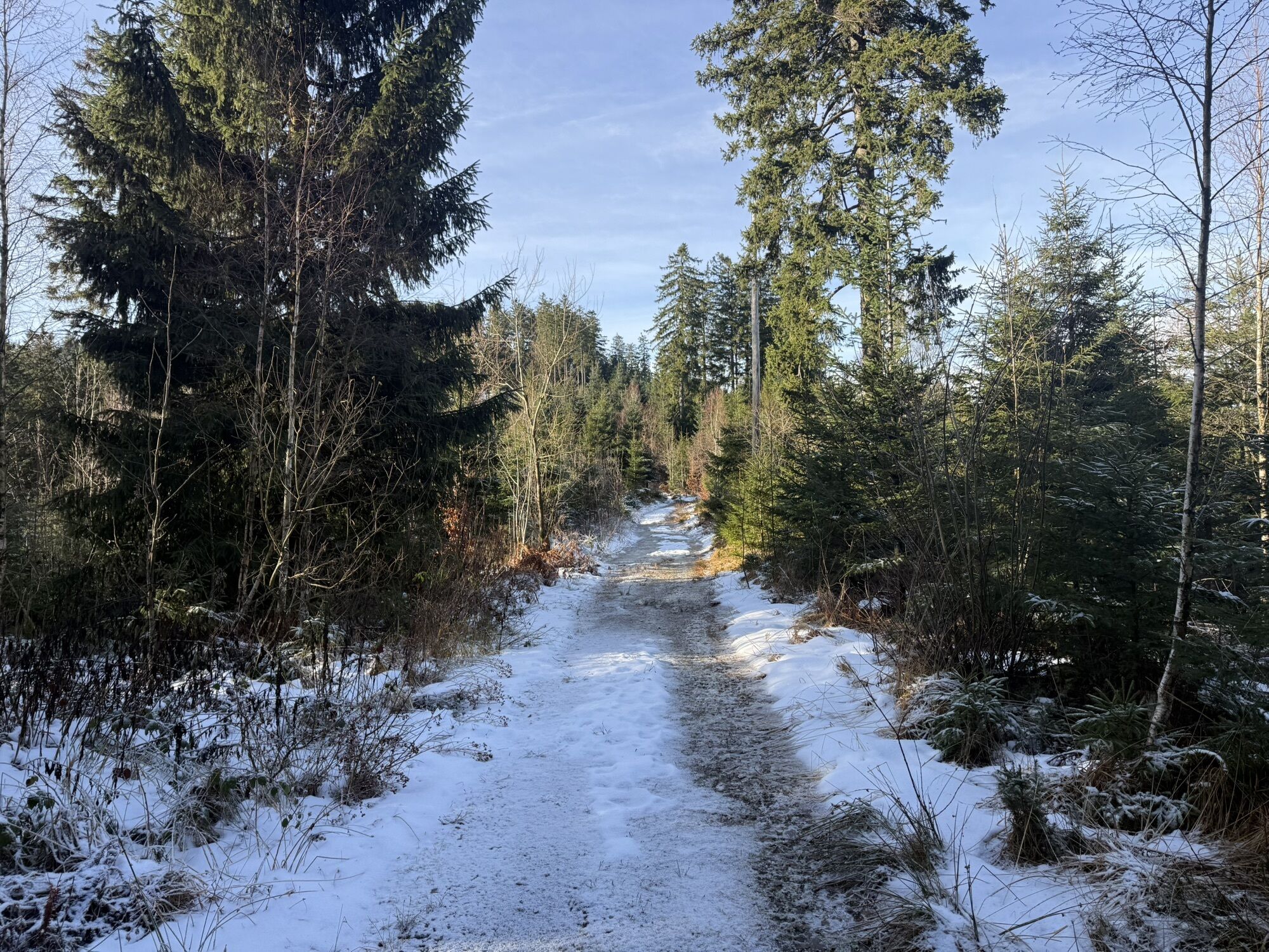
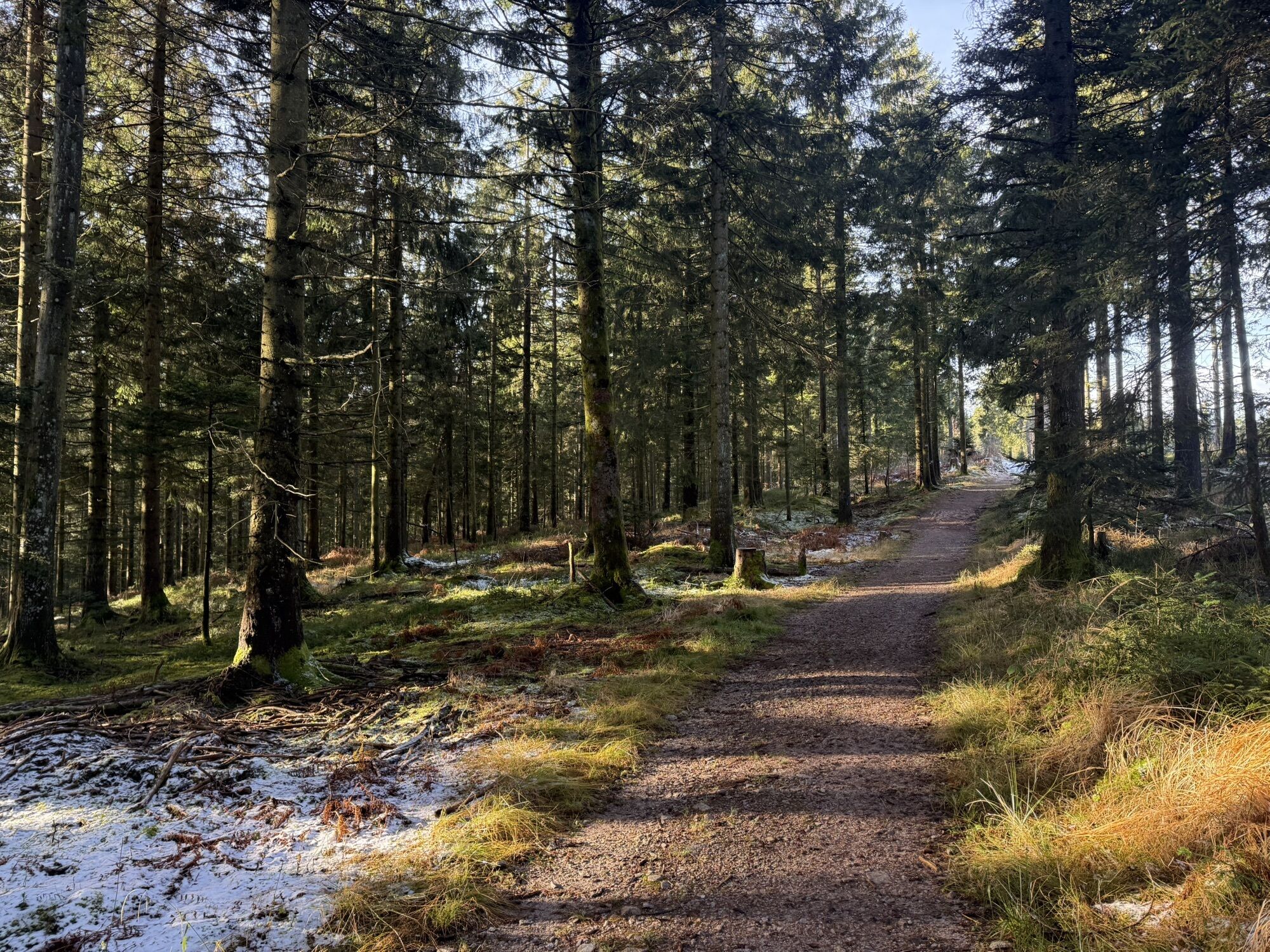
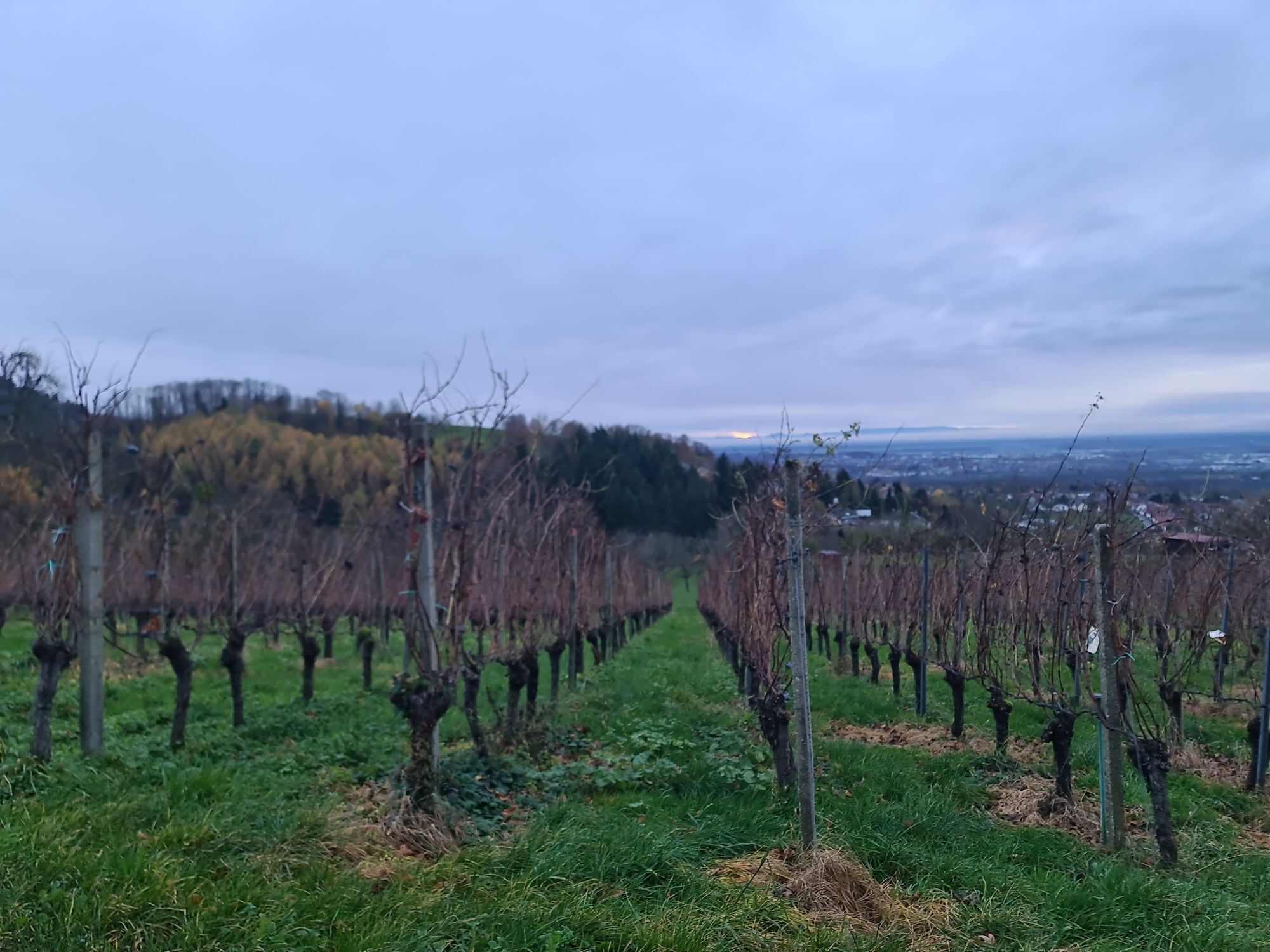
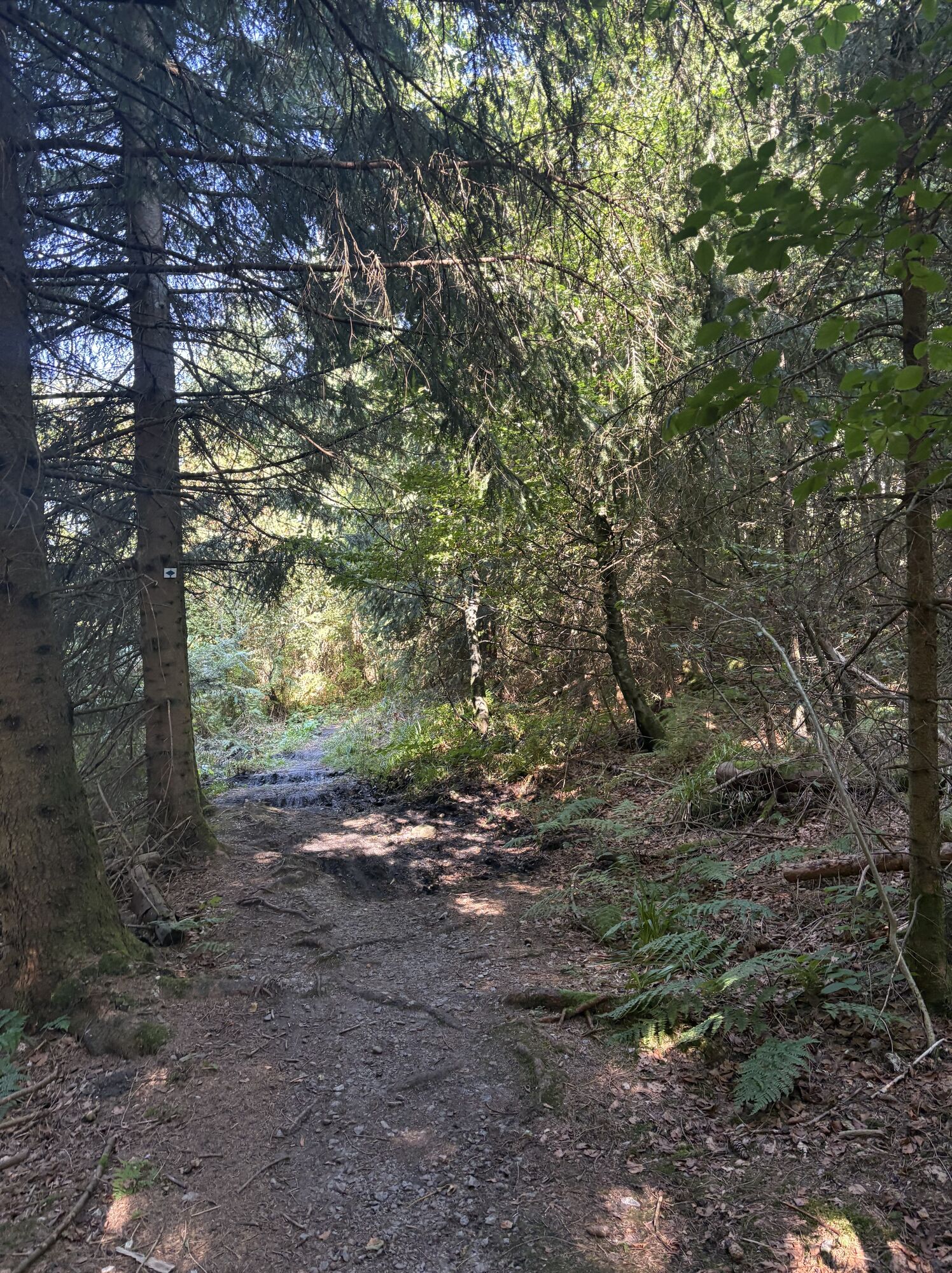
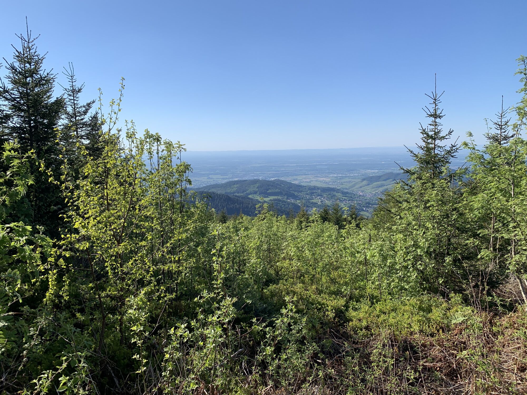
The route leads from the sports ground to the center of Lauf via Lochwald and Glashütte through cool forests to Hundseck, running parallel along the Schwarzwaldhochstraße to Breitenbrunnen and over Lautenbächle...
The route leads from the sports ground to the center of Lauf via Lochwald and Glashütte through cool forests to Hundseck, running parallel along the Schwarzwaldhochstraße to Breitenbrunnen and over Lautenbächle and Hornberg back to the sports ground. This route is interesting and challenging.


Lauf – Breitenbrunnen 7.6 km
From the sports ground, follow the bike path to Lauf and from the cemetery towards Breitenbrunnen into the “Steinstraße.” At km 1.3 at the 4-way intersection, turn right uphill into “Schlossstraße.” After another 700m, at the location “Lochhof,” turn left and after 50m turn right. At the following fork (km 2.1) turn slightly left on the dirt road uphill. In the district Hornenberg, at km 2.6 turn left onto a paved road. After another 500m at the location “Glöckelsberg” (km 3.1) turn right. Now proceed 1.8 km partially steep uphill, go straight at the LA4 junction. At km 5, at the location “Oberes Lautenbächle” (LA5), turn slightly left uphill to Breitenbrunnen. There, turn left, on the main road past the Höhenklinik.Breitenbrunnen – Wittig hiking parking lot 18.0 km
After about 200m uphill, at the wooden hut turn left to the LA10 junction and continue slightly left towards Unterstmatt. At the LA12 junction (km 8.4) turn half right uphill to the main road. Follow this for about 100m at km 9, then at a sharp angle turn right uphill and at the SW39 junction turn left. At the Unterstmatt ski lift (SBB, km 10.1) turn left over the parking lot about 150m, then left again to the ski lift at Hochkopf and along the “Mannheimer Weg” to Hundseck. There (BT19, km 13.6) turn left over the B500 and downhill towards Schwarzwasen. Now it goes 3.3 km steadily downhill to the Kappler Wald Hütt (BT20) at km 17. There, turn slightly left uphill towards Glashütte again. At the Wittig hiking parking lot, at km 18, cross the district road slightly left and follow the forest road downhill to the right.Wittig hiking parking lot - Lauf 28.0 km
At the next fork, after about 1 km, at a sharp angle turn left into “Habichweg” and follow this about 1.5 km downhill to the LA14 junction at km 20.7. There turn right around the corner downhill, continue towards Glashütte. At km 23, at the junction (LA16), below Glashütte, turn right to Bruderhöfel. After 1.2 km slight descent, shortly before the forest riding area continue downhill on “Lochwaldstraße.” At the location “Wegscheide,” at the end of Lochwald, at km 25.3, turn right and at the next fork slightly left. At the location “Bruderhöfel,” at km 26.1, turn left into “Bruderhöfel” street towards Lauf. After another 1.3 km, the path at the upper edge of the vineyard becomes unpaved and shortly thereafter leads steeply downhill to Alsenhof (km 27). 100m further, in the district Aspich, turn left and at the next junction (LA2), at km 27.5, follow the course of the street slightly left to Lauf and back to the starting point of the route.Mountain biking and catering
Coming from Sasbachwalden, follow the L86 to the district of Sandweg, there turn right into Sasbachwaldener Street. Follow this street through the village of Obersasbach until you reach the intersection with Erlenbadstraße; follow this road until you discover the sports ground on the right side.
Parking lot at the Lauf sports ground
Získajte prehľad
Vždy naživo na mieste s viac ako 9 500 webovými kamerami. bergfex Ako používateľ Pro si teraz môžete pozrieť príslušné webové kamery pre mnohé zájazdy v aplikácii zájazdy z. Môžete si tak priamo prezerať aktuálne podmienky.
Obľúbené výlety v okolí
-
5,0
Ottenhöfen - Eichkopf - Karlsruher Grat
strednáTuristika 13,7 km -
3,9
Schnapsbrunnenweg 2
strednáTuristika 12,8 km -
5,0
Bannwald-Tour
Turistika 13,3 km -
4,5
Schnapsbrunnenweg 1
svetloTuristika 7,45 km -
4,8
Ottenhöfen - Mühlenweg
strednáTuristika 13,4 km -
4,5
Lautenbacher Hexensteig
ťažkéTuristika 15,3 km -
4,0
Gertelbacher Wasserfälle
ťažkéTuristika 18 km -
4,6
Seibelseckle Tour
strednáTuristika 8,78 km -
Hundseck - Hochkopf - Hornisgrinde Bühlertal, Baden-Württemberg
svetloTuristika 15,5 km -
4,4
Seebach - Genießerpfad Mummelsee-Hornisgrindepfad
strednáTematická trasa 6,70 km
Turistika a stopovanie


Nenechajte si ujsť ponuky a inšpiráciu na ďalšiu dovolenku
Vaša e-mailová adresa bol pridaný do poštového zoznamu.





