






Brandmatt- Route (2)
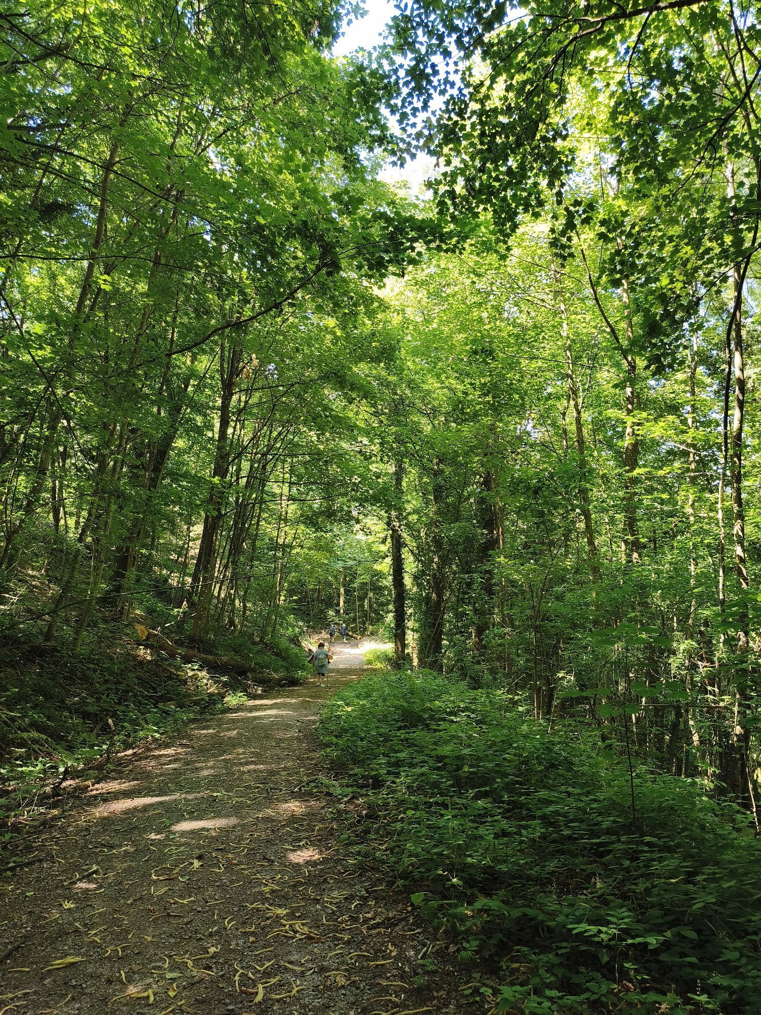
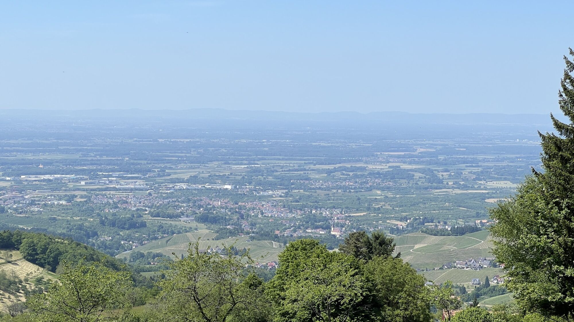
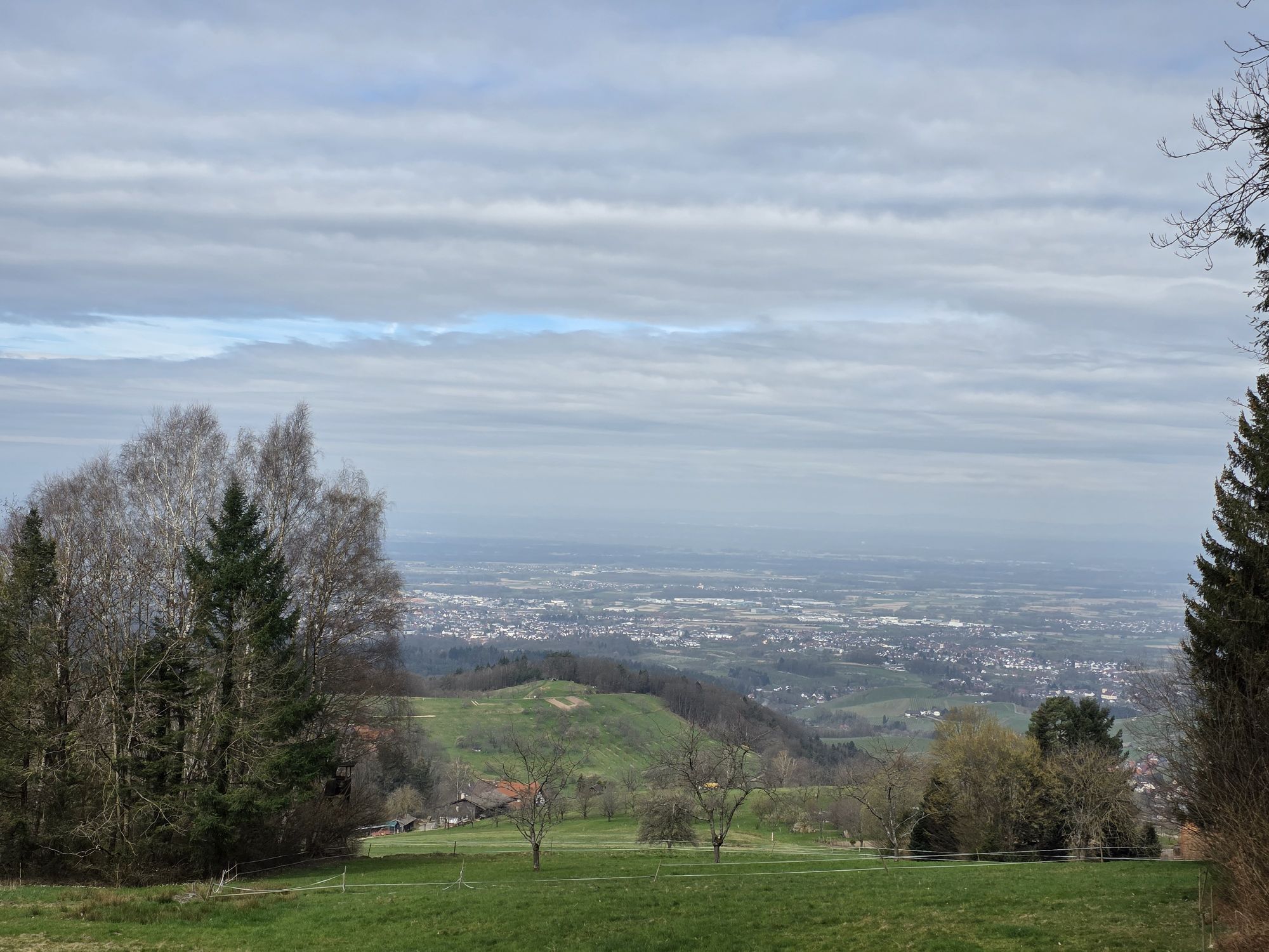
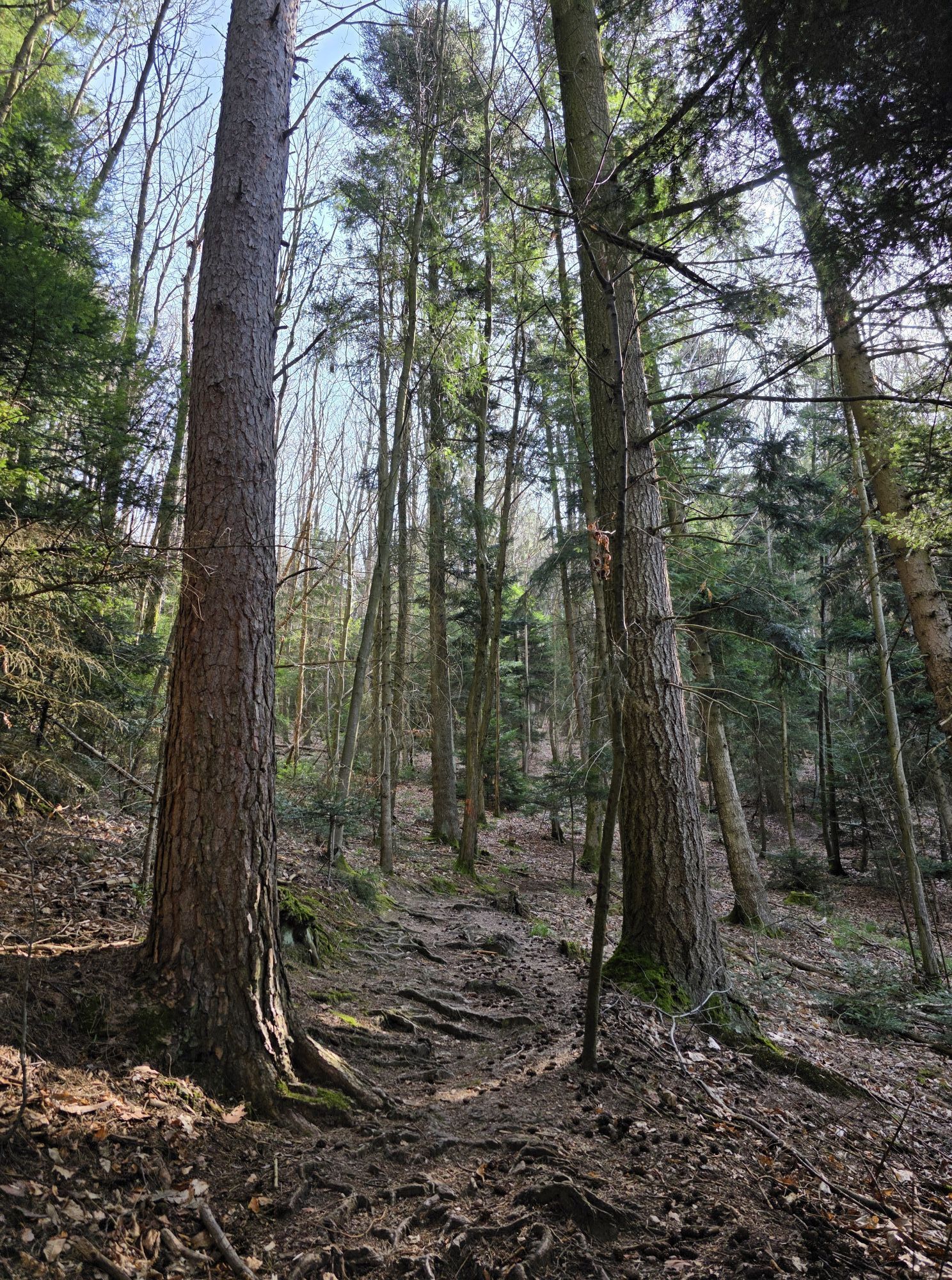
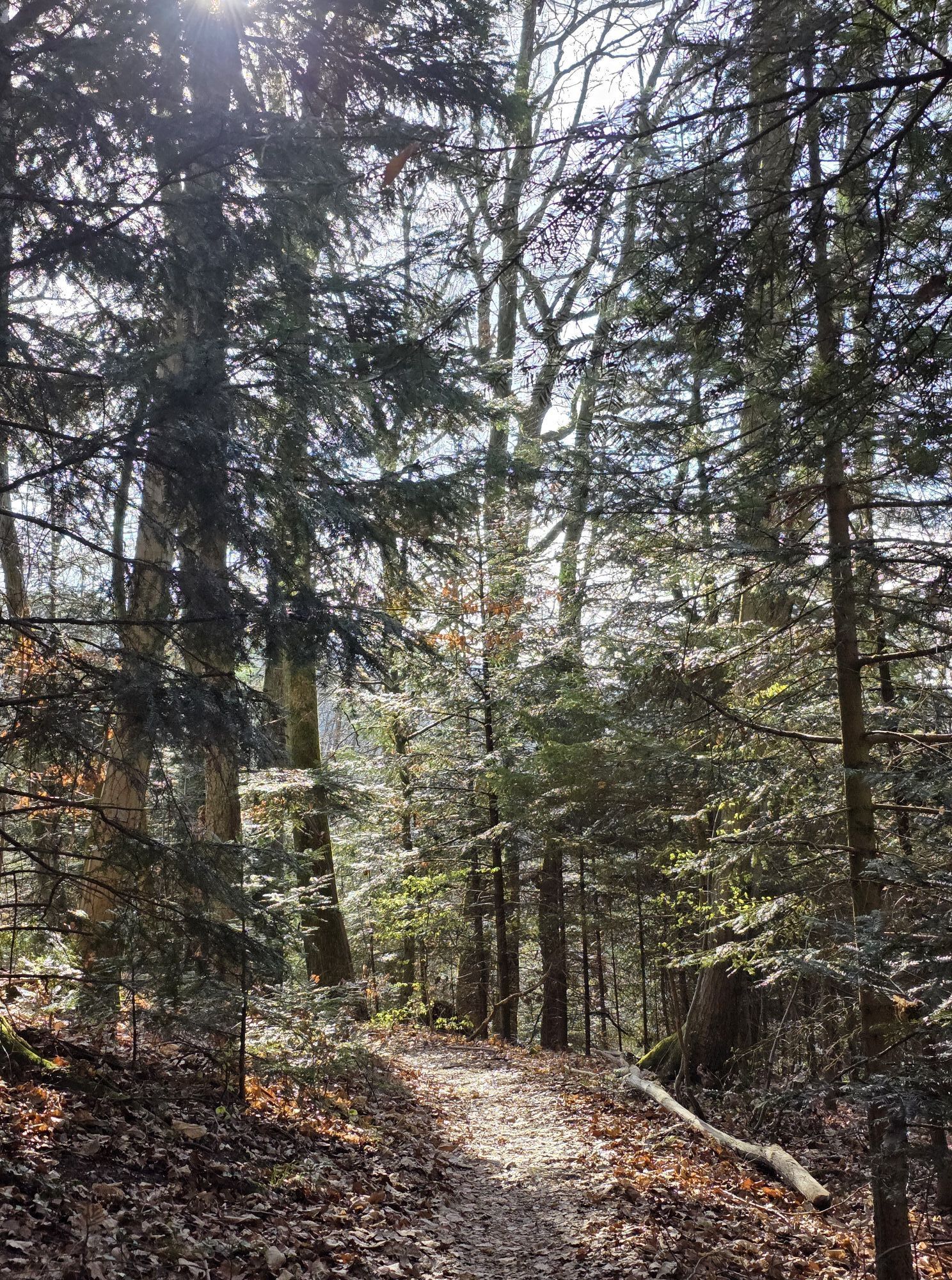
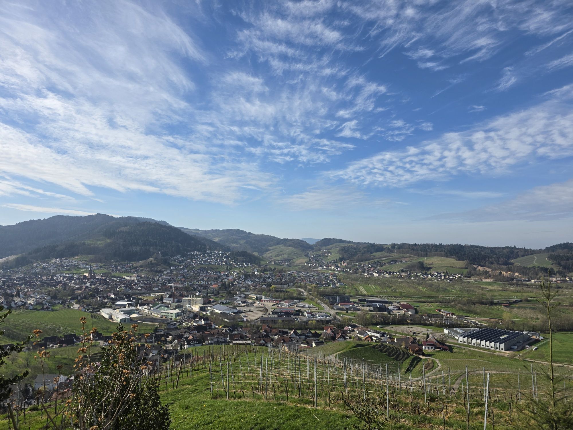
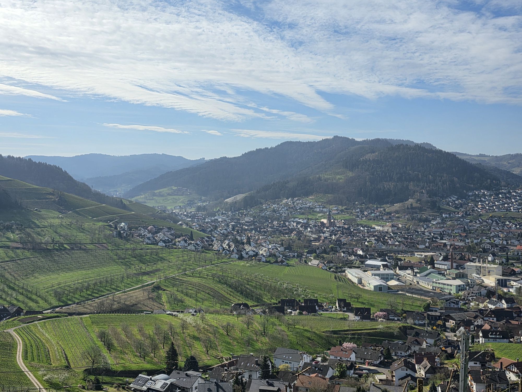
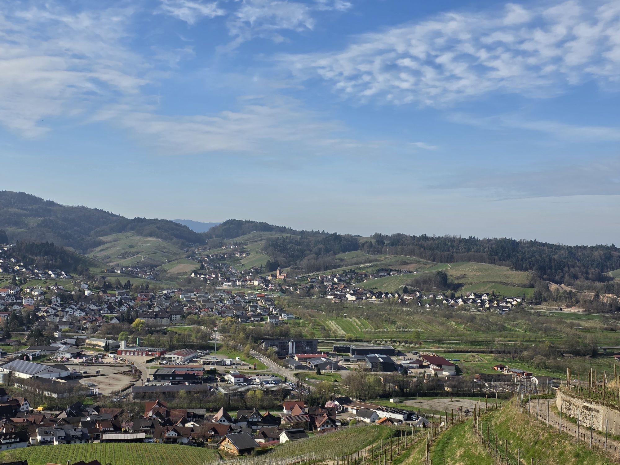
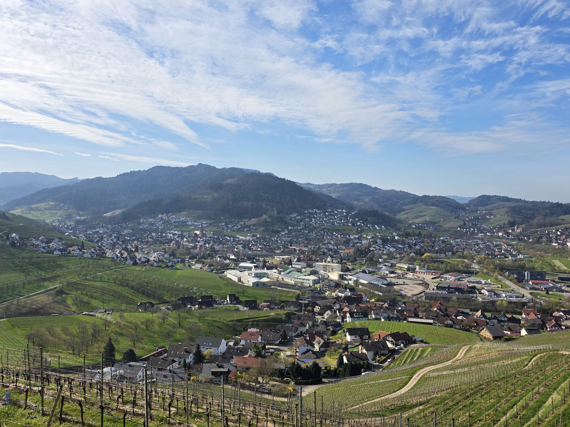
The route leads through the Illenauer Forest via Sandweg into the flower and wine village of Sasbachwalden. Then uphill over Kroppenkopf to Hohritt and over Brandrüttel to Breitenbrunnen, the highest point...
The route leads through the Illenauer Forest via Sandweg into the flower and wine village of Sasbachwalden. Then uphill over Kroppenkopf to Hohritt and over Brandrüttel to Breitenbrunnen, the highest point of this route. Back through cool forests via Markteich, Hagenberg and Blosenkopf downhill through the vineyards to the Bernhardshöfe near Kappelrodeck and then leisurely back through the beautiful orchards to Achern.



Achern – Hohritt 8.0 km
Starting point of the route is the hiking car park in Illenau. Go left, heading east, to the location “Leimebuckel” (SW12). There turn left by the dog sports area and go straight past the shooting club (Km 1.35). At Km 2 (SW11) in the district Sandweg, turn left towards Alde Gott, then 50 m later right onto L86 towards Sasbachwalden. In Sasbachwalden, shortly after the winemakers’ cooperative “Alde Gott” (SW6, Km 3), turn left into “Bachmatt” street. After 200 m, right through the vineyard. At the location “Langert” (Km 3.7) turn right and 100 m later, at the clinic, at the junction SW2 turn left onto “Murberg” street uphill past “Gaishöll-Ferienpark” up to Murberg. At the next junction (SW24) at Km 5, go straight towards Hohritt. After 300 m, at the location “Grobekopf”, turn right into the forest and steeply uphill for 500 m. At Km 6.5, at the junction (SW25), turn left uphill to Hohritt.Hohritt – Blosenkopf barbecue hut 20.3 km
At Hohritt (LA6, Km 8.2) go straight uphill past the church and the MTB junction LA7 to Breitenbrunnen. At Km 10.3 at the Breitenbrunnen car park, cross L86. Immediately afterwards, take the outermost right path (LA8). It then goes steadily downhill through the forest to Haus Peduzzi. There (SE13, Km 15) cross the district road slightly right towards Hagenberg. After another 200 m, at the fork at the location “Brünnele” (SW33), bear slightly left. In Hagenberg, at Km 16, gently downhill past some farms and houses. After another 800 m, at the location “Bei der Blockhütte”, leave the paved road at a sharp angle to the right and steeply downhill on the gravel path. At the location “Wolfersberg” (KA25, Km 18) turn left into the forest towards “Auf der Eck”. After another 400 m of steady forest descent, at the junction (KA21) turn left towards “Auf der Eck”. 300 m later, at the vineyard, turn sharply right. At Km 19.8, at the location “Auf der Eck”, bear slightly left to the Blosenkopf barbecue hut.Blosenkopf barbecue hut – Achern 25.5 km
There (KA17, Km 20.3) turn left and at the next junction (KA16) right downhill through the vineyards to Bernhardshöfe. In Kappelrodeck, at Km 21.7 at junction KA6, turn right towards Oberachern. 400 m further cross L86a and continue right on the gravel path. At the next junction (KA18, Km 22.3) turn left, continuing towards Oberachern along the edge of the vineyards and parallel to the Acher river to the outskirts of Oberachern (Km 24). Here follow the “Obere Bergstraße” for 1 km. At junction AC3 (Km 25.2) turn right and 60 m later, at the fork (AC4) direction Achern Illenau. 200 m further, at the 5-way crossing, bear slightly left into “Austraße” and in the new development area turn right onto the bike/pedestrian path. At its end, turn right towards Waldsee and back to the starting point of the route.
Získajte prehľad
Vždy naživo na mieste s viac ako 9 500 webovými kamerami. bergfex Ako používateľ Pro si teraz môžete pozrieť príslušné webové kamery pre mnohé zájazdy v aplikácii zájazdy z. Môžete si tak priamo prezerať aktuálne podmienky.
Obľúbené výlety v okolí
-
5,0
Ottenhöfen - Eichkopf - Karlsruher Grat
strednáTuristika 13,7 km -
3,9
Schnapsbrunnenweg 2
strednáTuristika 12,8 km -
5,0
Bannwald-Tour
Turistika 13,3 km -
4,5
Schnapsbrunnenweg 1
svetloTuristika 7,45 km -
4,8
Ottenhöfen - Mühlenweg
strednáTuristika 13,4 km -
4,5
Lautenbacher Hexensteig
ťažkéTuristika 15,3 km -
4,0
Gertelbacher Wasserfälle
ťažkéTuristika 18 km -
Hundseck - Hochkopf - Hornisgrinde Bühlertal, Baden-Württemberg
svetloTuristika 15,5 km -
4,6
Seibelseckle Tour
strednáTuristika 8,78 km -
4,7
Oberkircher Brennersteig
strednáTuristika 13,8 km
Turistika a stopovanie


Nenechajte si ujsť ponuky a inšpiráciu na ďalšiu dovolenku
Vaša e-mailová adresa bol pridaný do poštového zoznamu.





