







Tour around St. Märgen & St. Peter
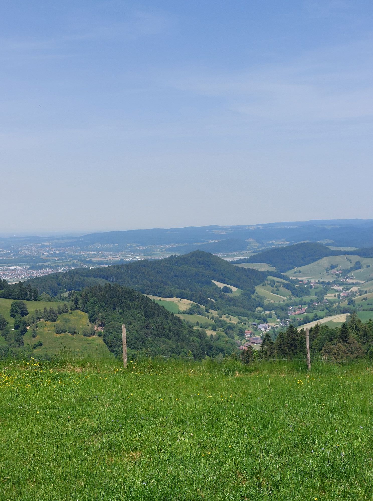
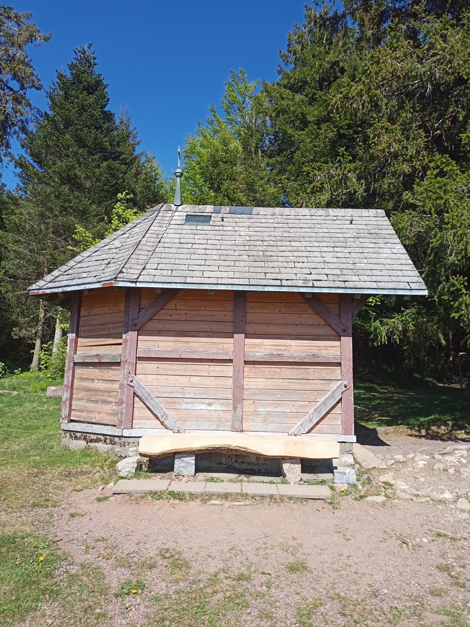
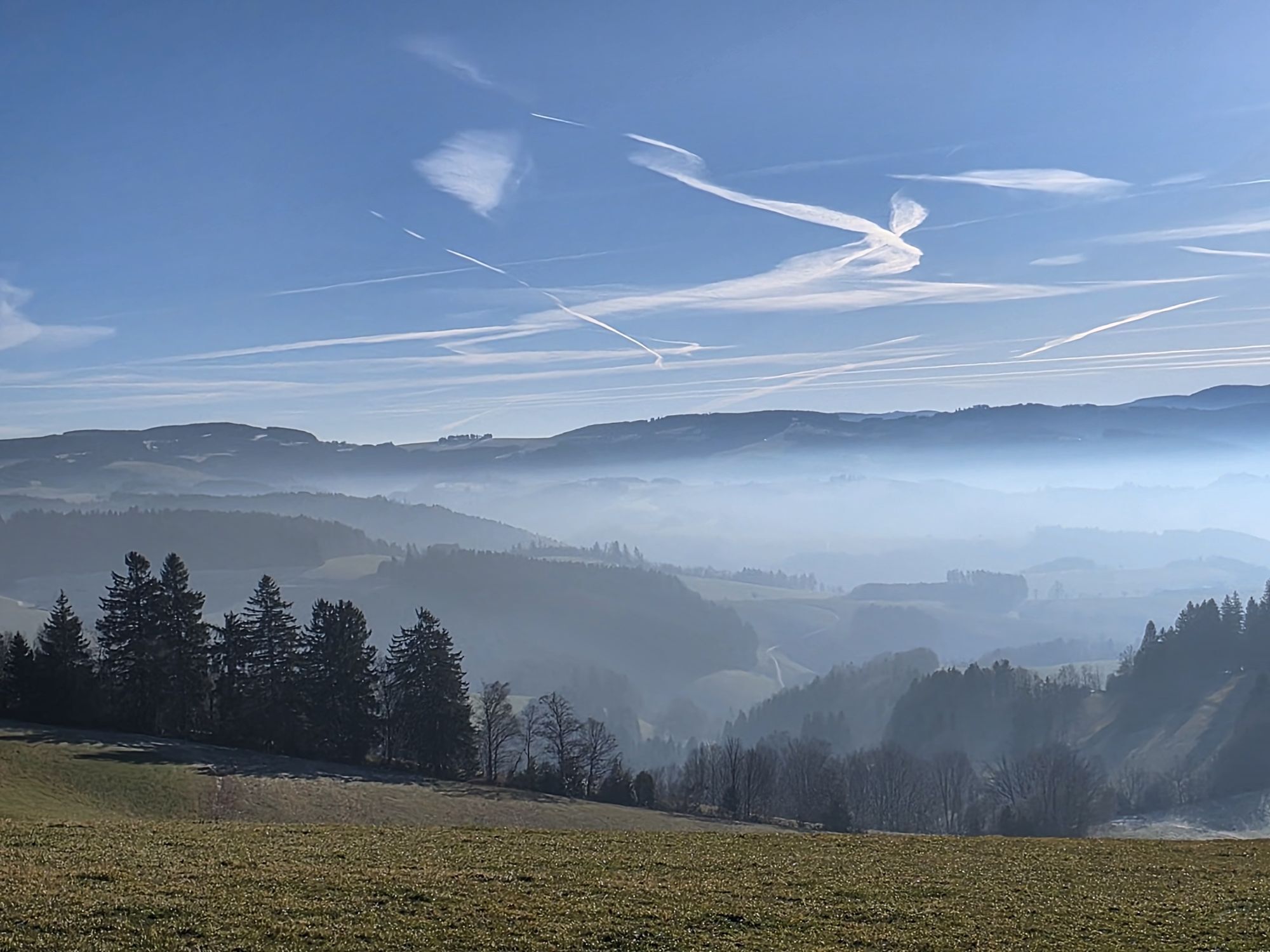
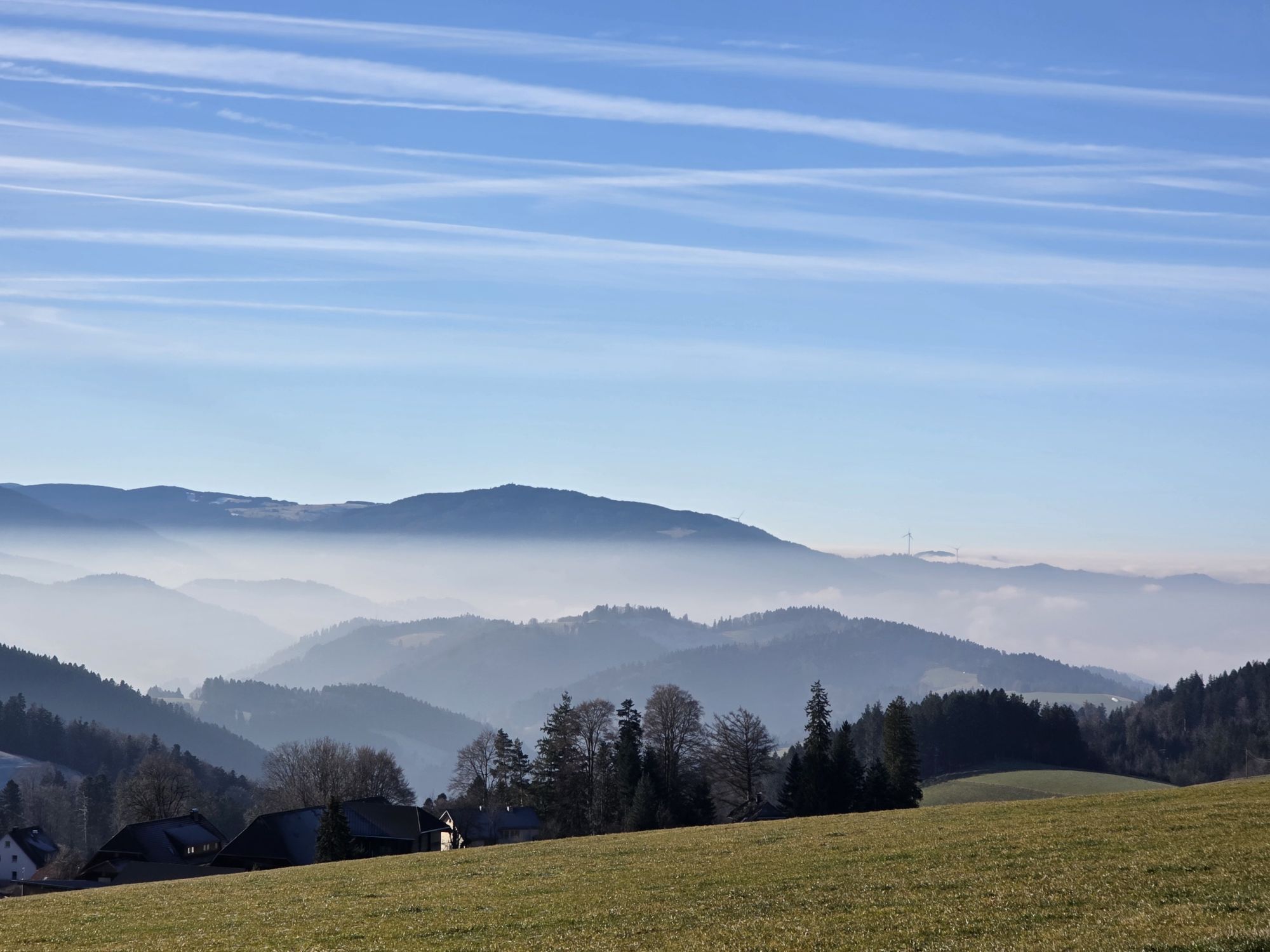
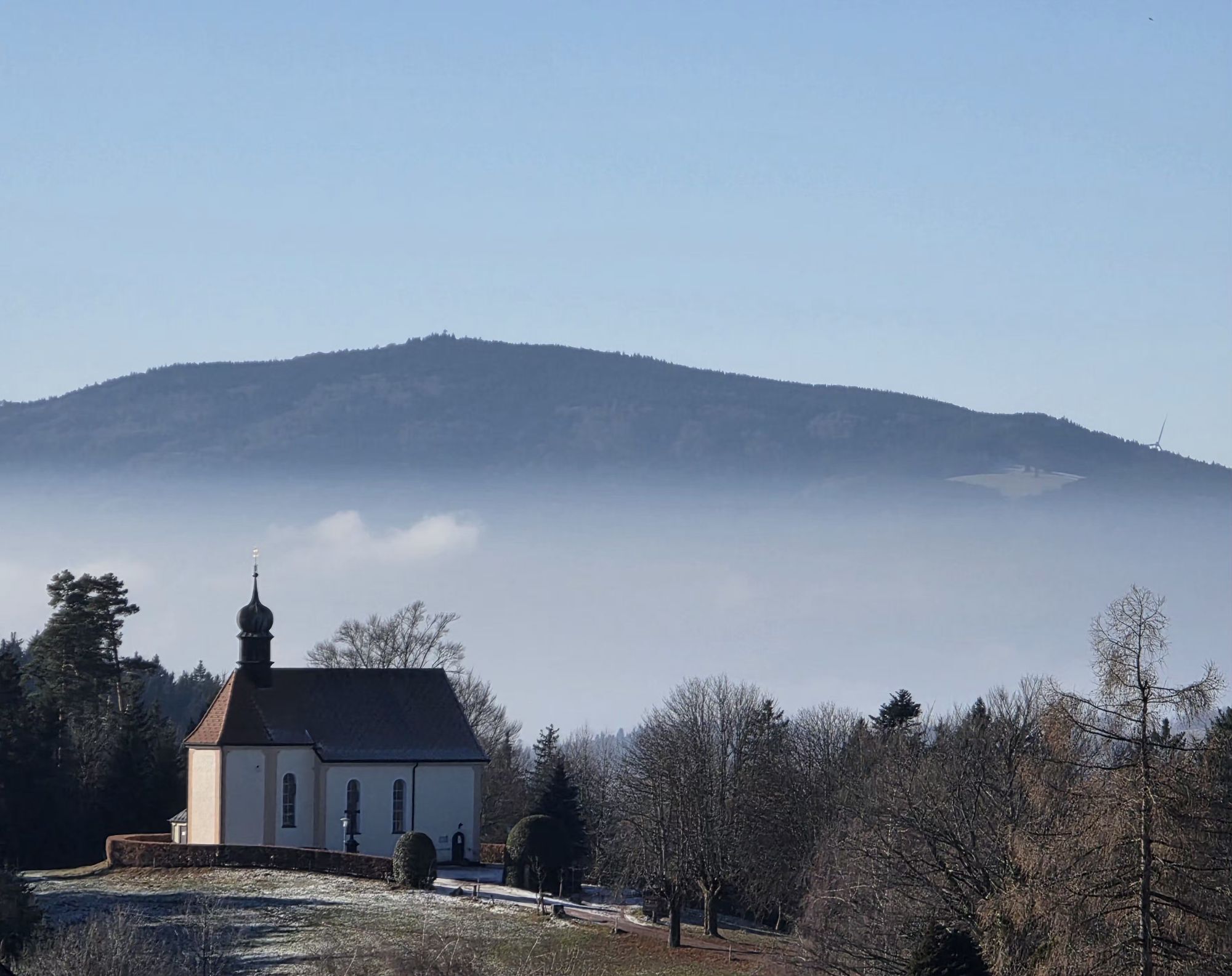
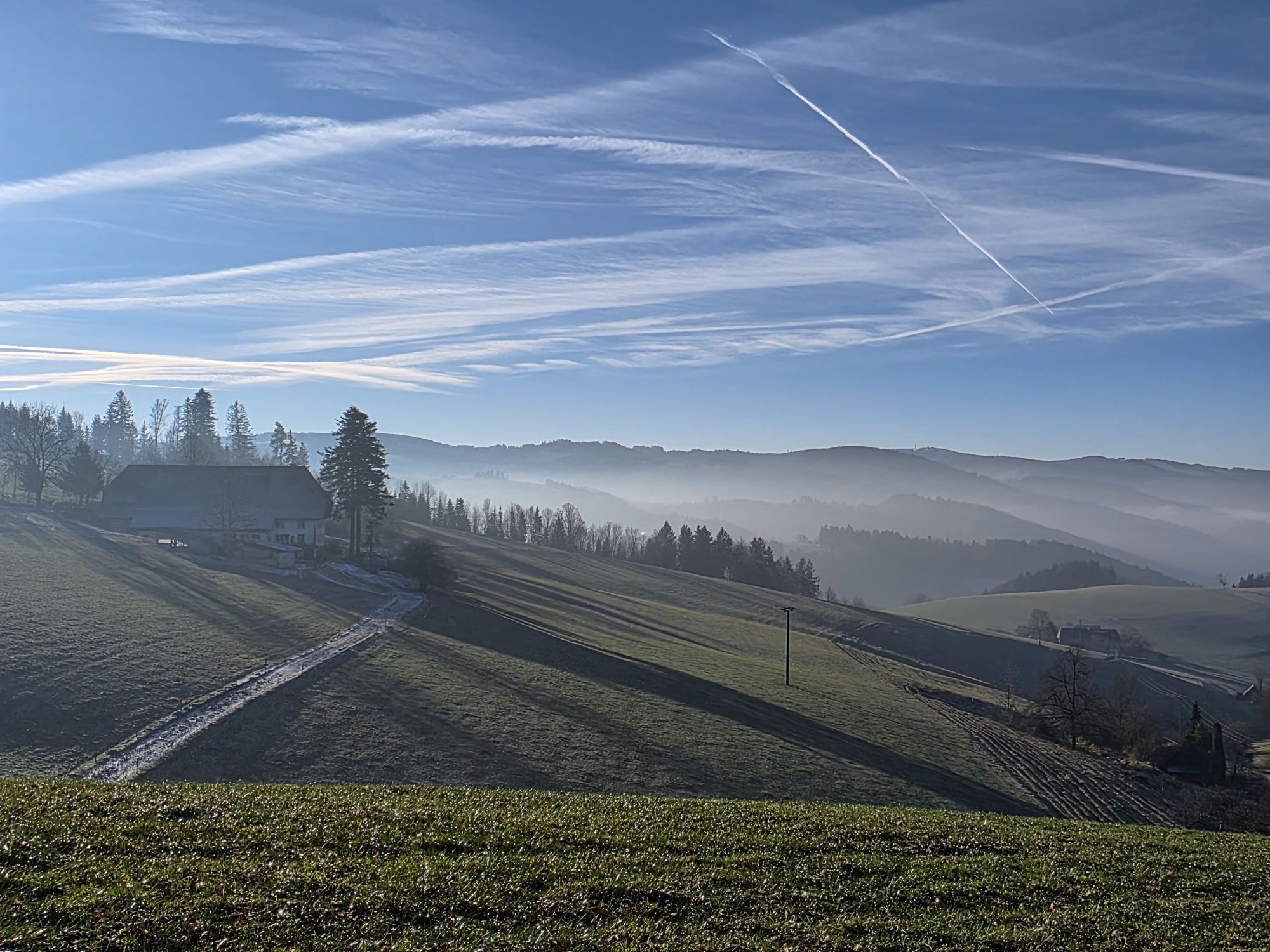
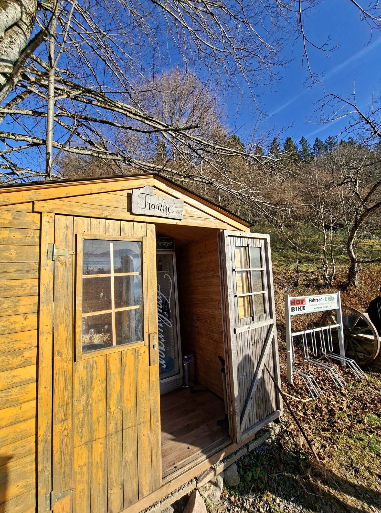
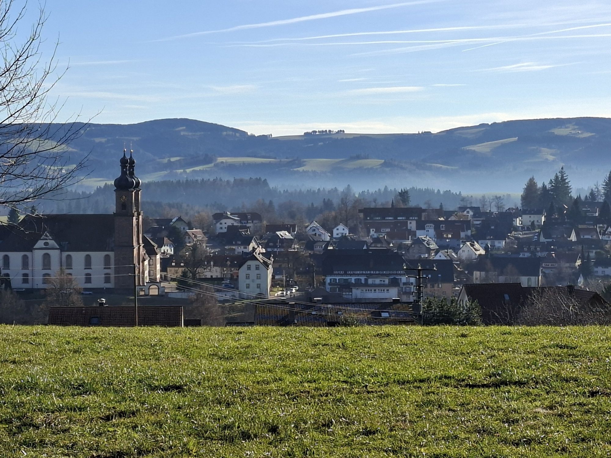

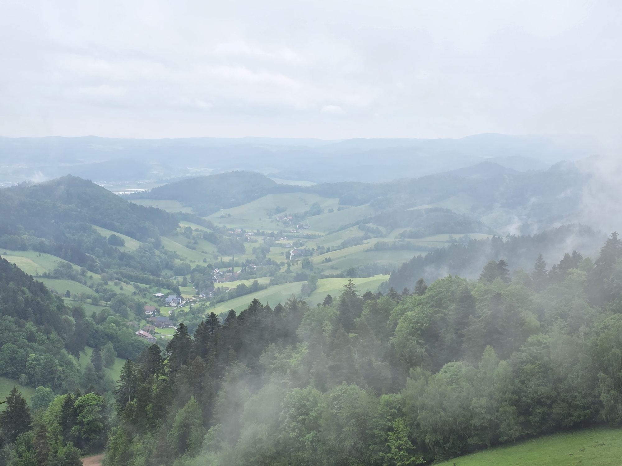
You start the tour at St. Märgen town hall via the Ohmenbergweg to the Ohmenkapelle chapel. The 18th century chapel is well worth a visit. After a short ascent, the route is mainly downhill until a short,...
You start the tour at St. Märgen town hall via the Ohmenbergweg to the Ohmenkapelle chapel. The 18th century chapel is well worth a visit. After a short ascent, the route is mainly downhill until a short, steep climb shortly before Burg am Wald near Kirchzarten.
The climb is followed by another short descent before the route continues without any major climbs via Stegen to Wiesental. Shortly after Wiesental, the going gets tough, with more than 300 meters of altitude to overcome in a short stretch. Once you reach the Hornbühl, the route continues more gently over the Brombeerkopf, Langeck and then up past St. Peter.
After St. Peter, a few more meters in altitude await you before you reach the highest point of the tour at 1,036 m at Kapfenberg. You can then take it easy on the way back to St. Märgen.

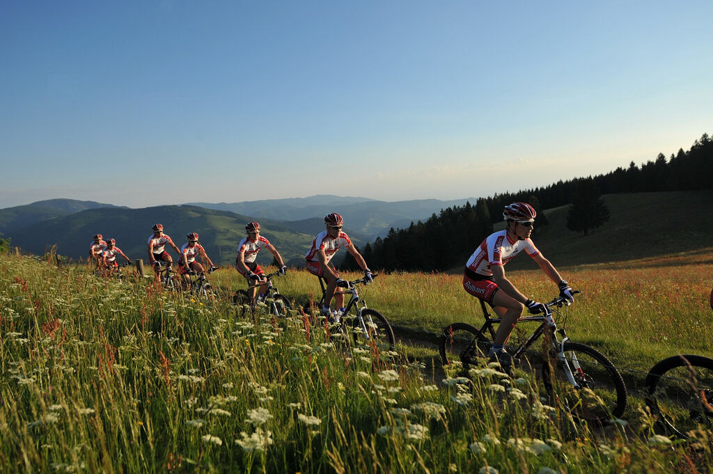
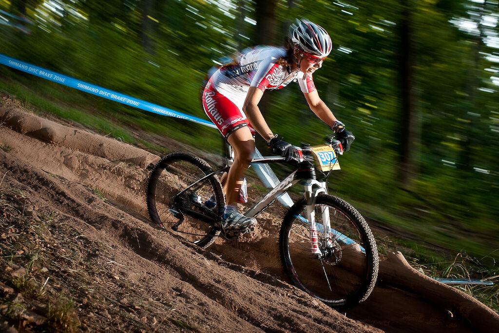
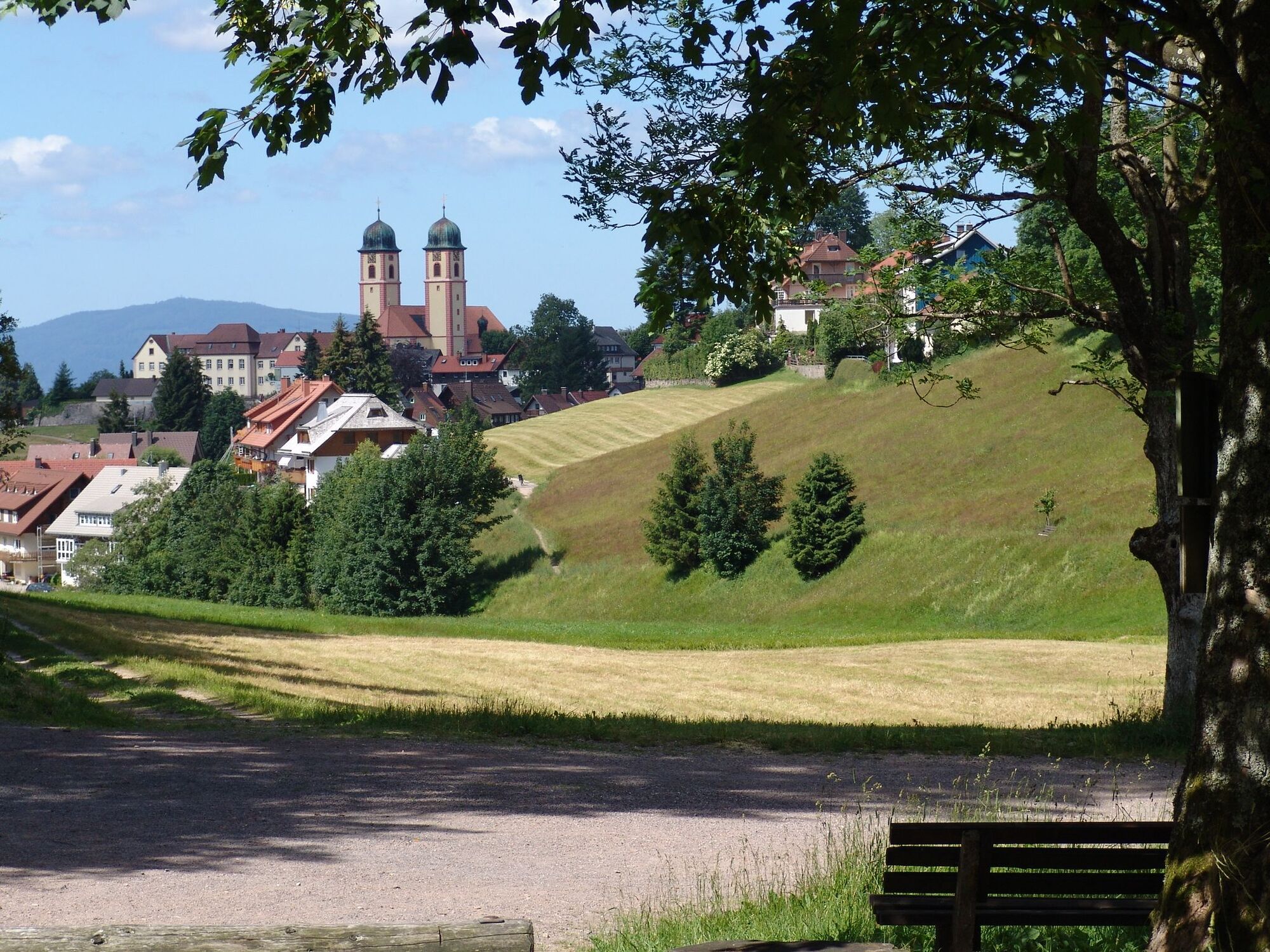
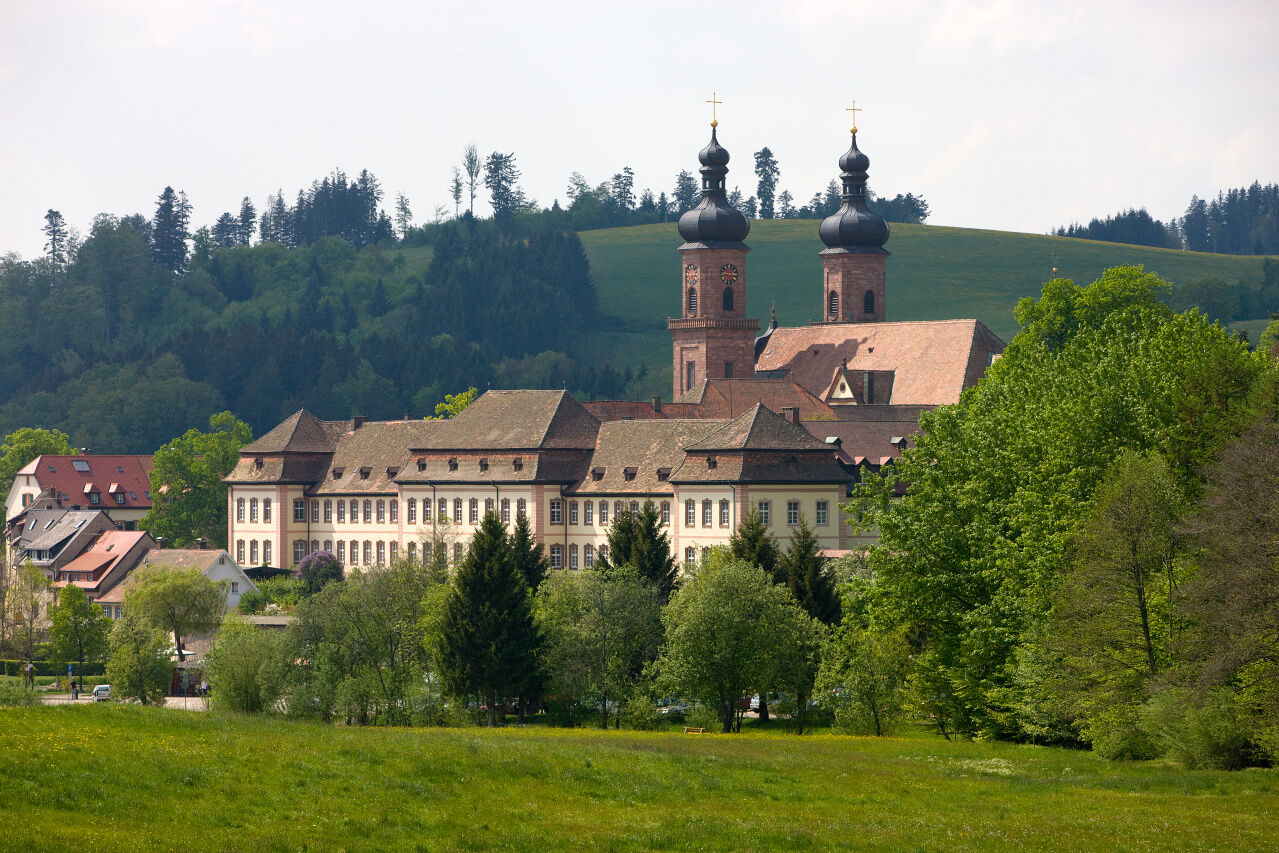
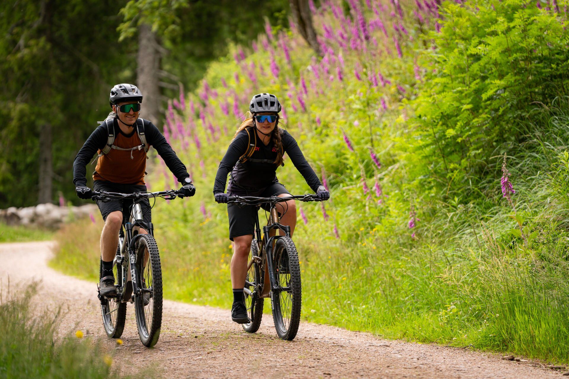
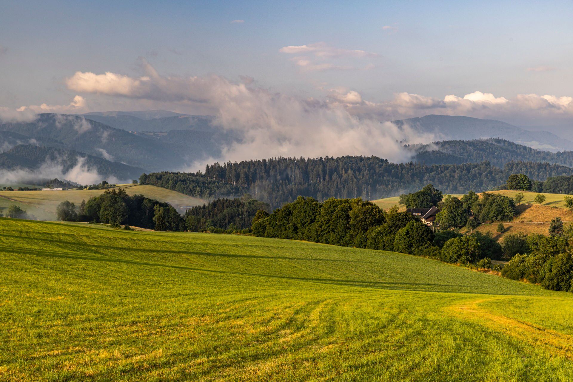
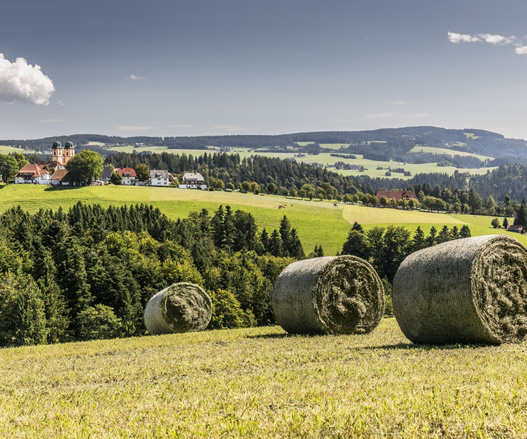
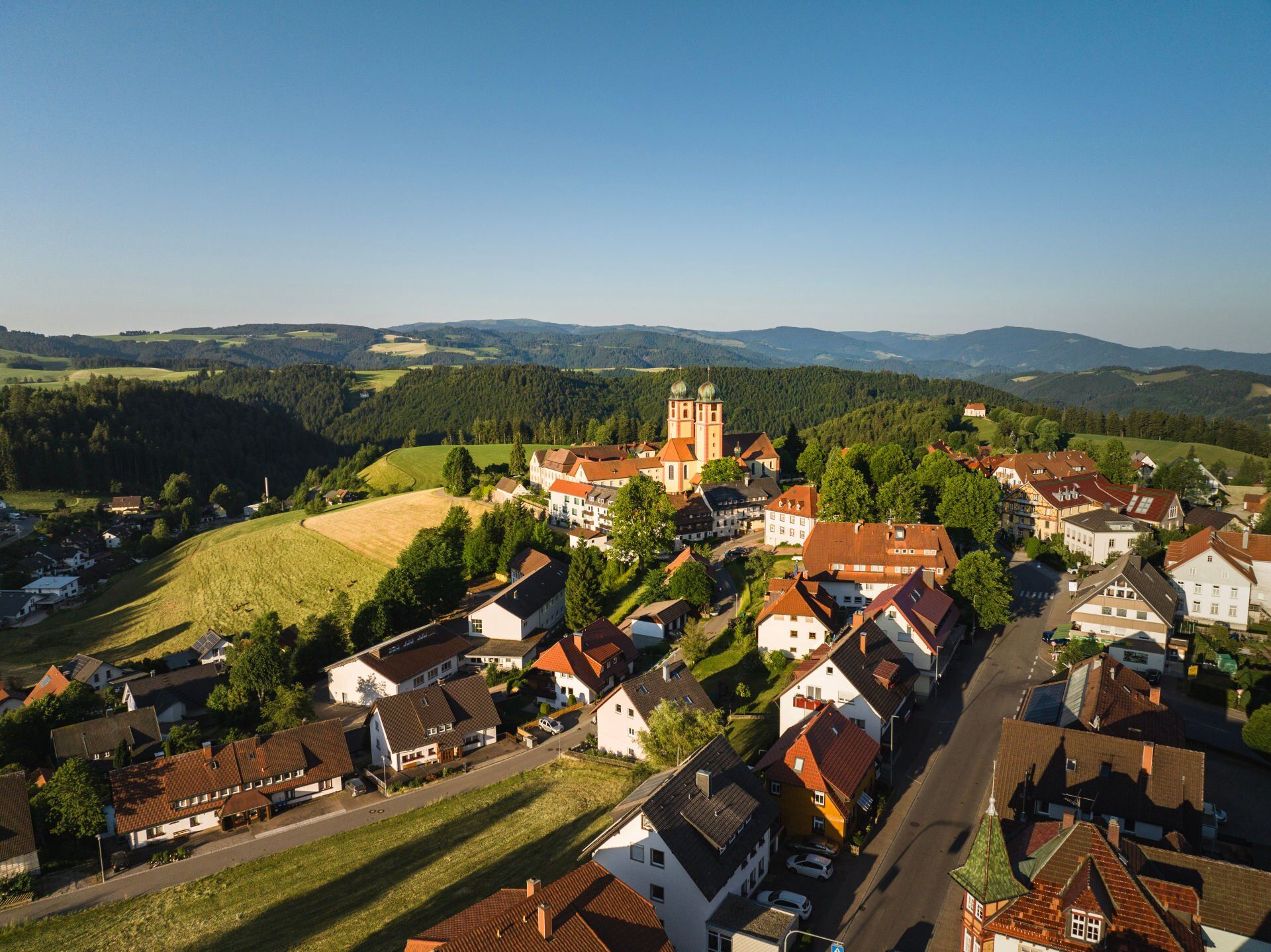
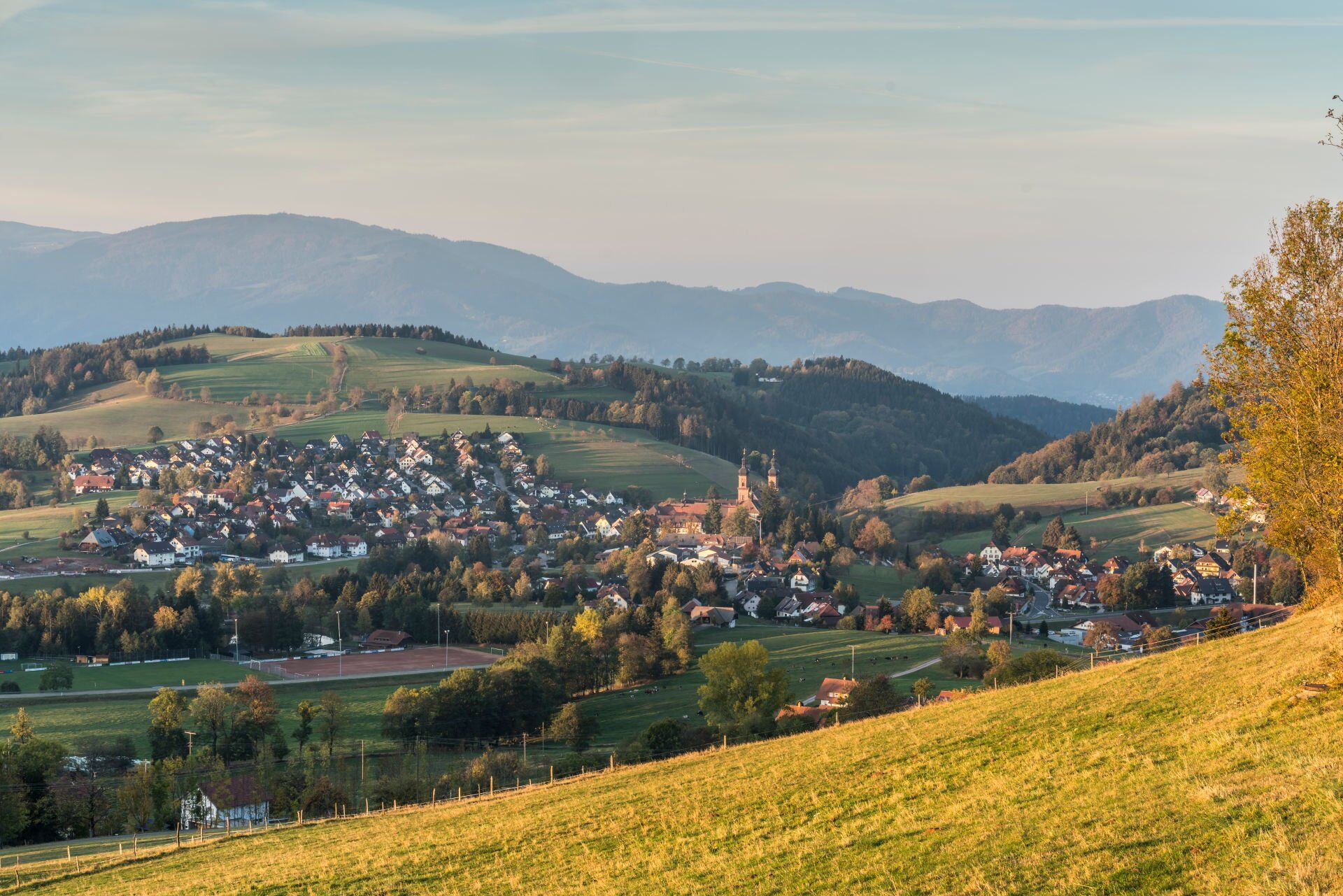

You start the tour in St. Märgen at the tourist information office. On asphalt and gravel paths, you ride past the Ohmenkapelle chapel down to the Hummelmühle mill. After a short climb, the route descends again to Hannisenhof. From the Kappeneck, the route takes you downhill to the Hansjörgenhof. After a short climb, you cycle on a flat section from Burg via Stegen and Wittental to Attental. Now you have to pedal hard to Hornbühl.
Now you cycle uphill and downhill eastwards towards Sankt Peter. From the Steingrubenhof, another climb of over 200 meters awaits you before you can let your bike roll past the Rankmühle to your destination in Sankt Märgen.
Áno
We recommend that you wear a helmet.
There are also parking spaces in the center of St. Märgen.
If the tour is not enough for you, you can let off steam on the bike trail at the Schwarzwaldhalle.
Získajte prehľad
Vždy naživo na mieste s viac ako 9 500 webovými kamerami. bergfex Ako používateľ Pro si teraz môžete pozrieť príslušné webové kamery pre mnohé zájazdy v aplikácii zájazdy z. Môžete si tak priamo prezerať aktuálne podmienky.
Obľúbené výlety v okolí
-
4,7
Black Forest Highlands heritage trail - mills and saws in the gorge
strednáTuristika 7,42 km -
4,5
Through the mystical Bannwald forest to the Zweribach Waterfall
strednáTuristika 12,2 km -
4,2
Ravennaschlucht
Turistika 6,90 km -
4,8
Sonnenaufgang und Feldbergsteig
strednáTuristika 11,6 km -
5,0
Rund um den Kandelgipfel mit tollen Ausblicken
strednáTuristika 7,46 km -
5,0
Old chapels and churches in the Ravenna Gorge
strednáPútnická trasa 15,7 km -
4,3
Lake Cycle Track Black Forest Highlands
strednáCyklistika 66,6 km -
3,0
Thurner Panorama Trail
strednáTuristika 11,8 km -
Hike to the Zweribach waterfalls
strednáTuristika 7,32 km -
5,0
Potsdamer Platz - Hirschbachfälle- Zweribachfälle - Plattenhof
strednáTuristika 9,34 km
Turistika a stopovanie


Nenechajte si ujsť ponuky a inšpiráciu na ďalšiu dovolenku
Vaša e-mailová adresa bol pridaný do poštového zoznamu.





