


Sport spirit meets culture and scenic beauty: circular bike route from Althengstett to the Wendelinus Chapel
Úroveň náročnosti: 1
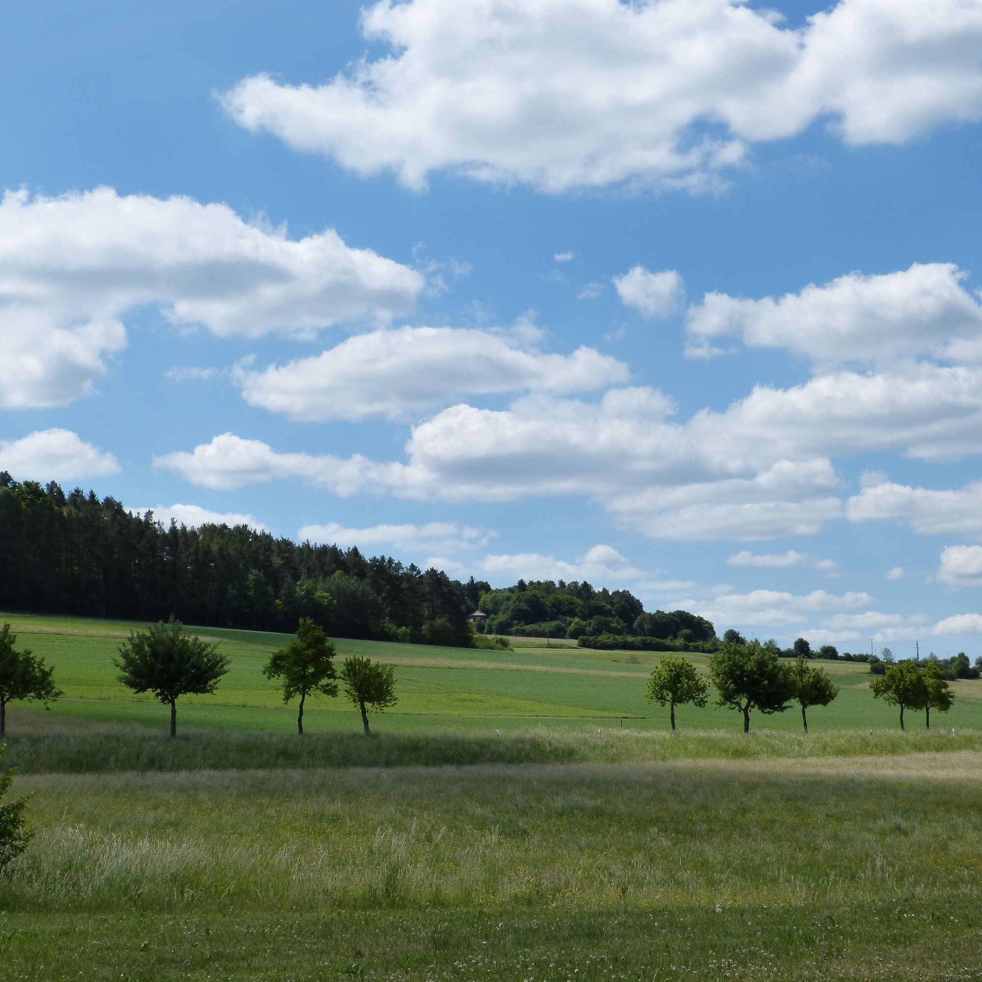
From the town hall in Althengstett, we ride through the scenic nature reserve at Hörnle through green forests and lush meadows into the "Biet" to Neuhausen. Passing the Layher See, we reach the Wendelinus...
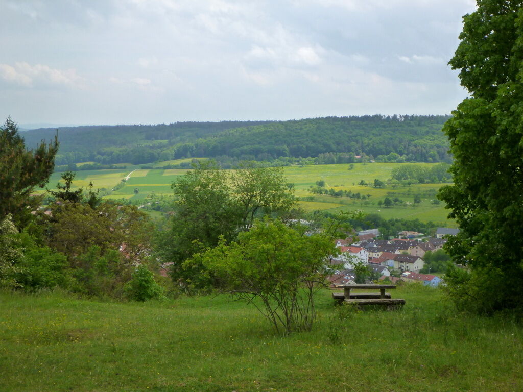
From the town hall in Althengstett, we ride through the scenic nature reserve at Hörnle through green forests and lush meadows into the "Biet" to Neuhausen. Passing the Layher See, we reach the Wendelinus Chapel between Neuhausen and Steinegg. From here, there is a beautiful panoramic view over large parts of the Biet, the Gäu, and the northern Black Forest. Then it goes slightly downhill into the beautiful Würmtal, where we follow the Wurm upstream on nice bike paths to Weil der Stadt. Via Simmozheim and Eulert, we reach our starting point again after about 39 km and 420 meters of elevation.
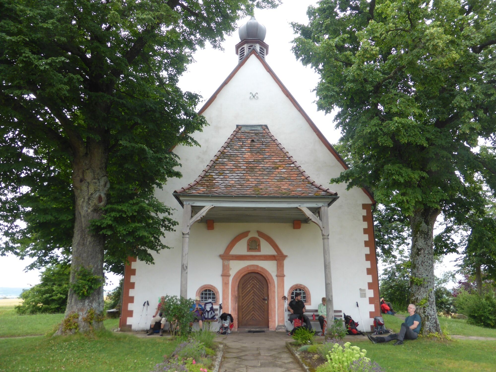
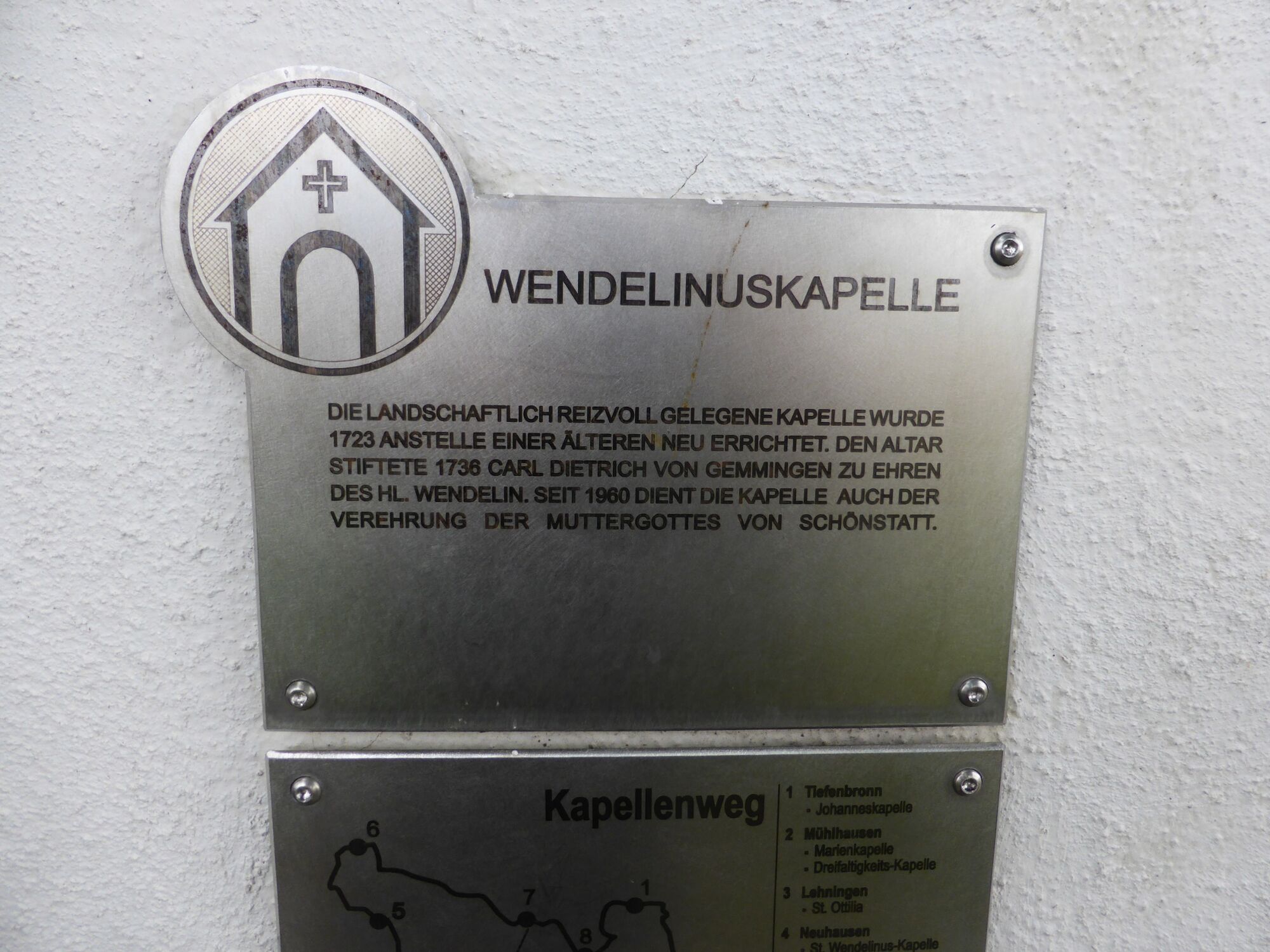
The chapel originates from the year 1683. Saint Wendelin (circa 554 – 617) was a Scottish prince. He renounced power and wealth, went on a pilgrimage, and finally lived as a hermit in the Diocese of Trier. At the end of World War II, the chapel suffered heavy damage. At the beginning of the 1960s, Pastor Alois Weber decided to renew the Wendelinus Chapel.
We start in Althengstett at the town hall and follow the bike path northwards under the railway embankment. Passing the fire station, we reach the underpass of the B 295. Immediately afterwards, after a few meters, there is a sharp right onto the bike path, and after 200 m we go under the L 179 and continue on the bike path to the crossing at the edge of the forest. Here, we turn left and follow the bike path to Möttlingen. At the mill, we carefully cross the L 179, then turn right and continue straight ahead until after about 500 m we switch back to the bike path on the other side of the road.
Now it goes slightly uphill; at the high point opposite the Waldenserstein, we follow the bike path about 200 m to a bike path junction. Here we follow the gravel bike path half-right towards Hörnle and cross the road from the Georgenau farm to Simmozheim after about 600 m. Always straight ahead, we leave the Möttlingen water tank on the left and follow the path for about 1.5 km until we cross the road from Weil der Stadt to Möttlingen.
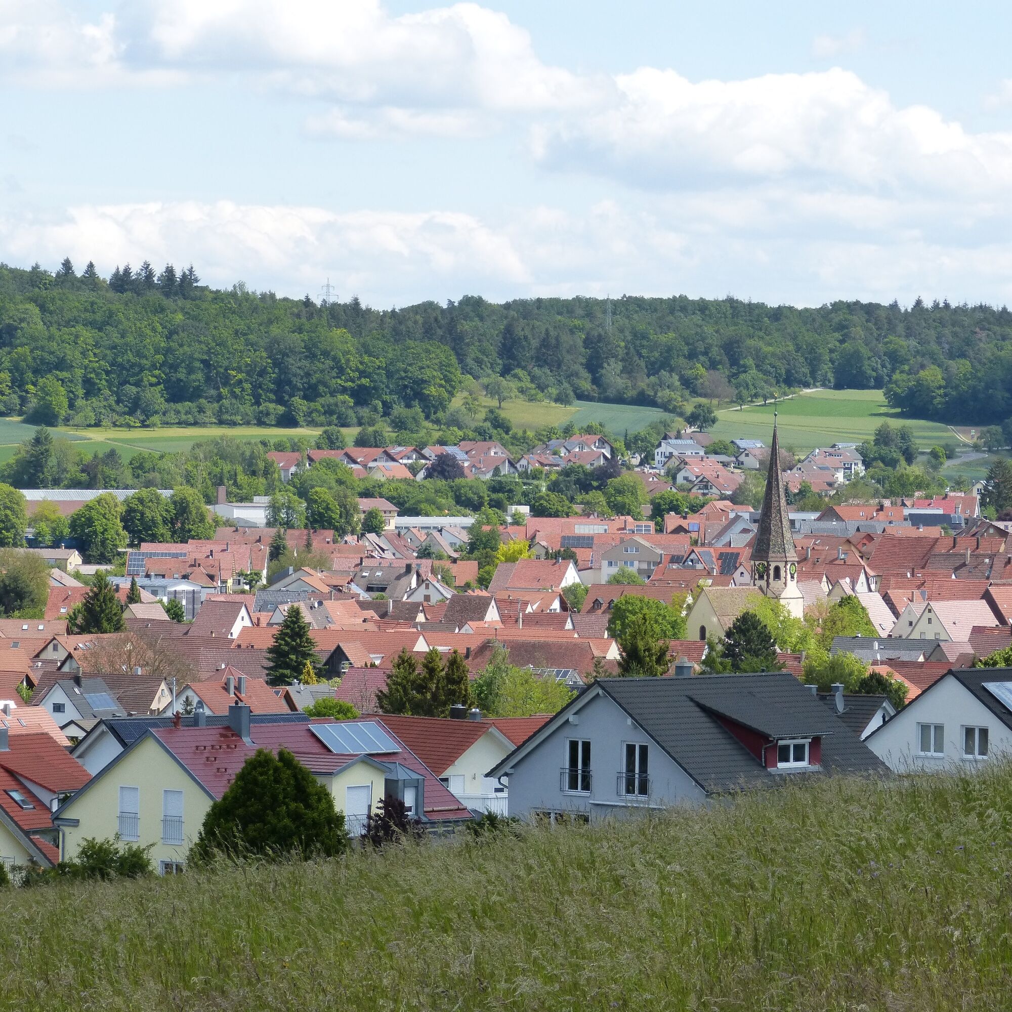
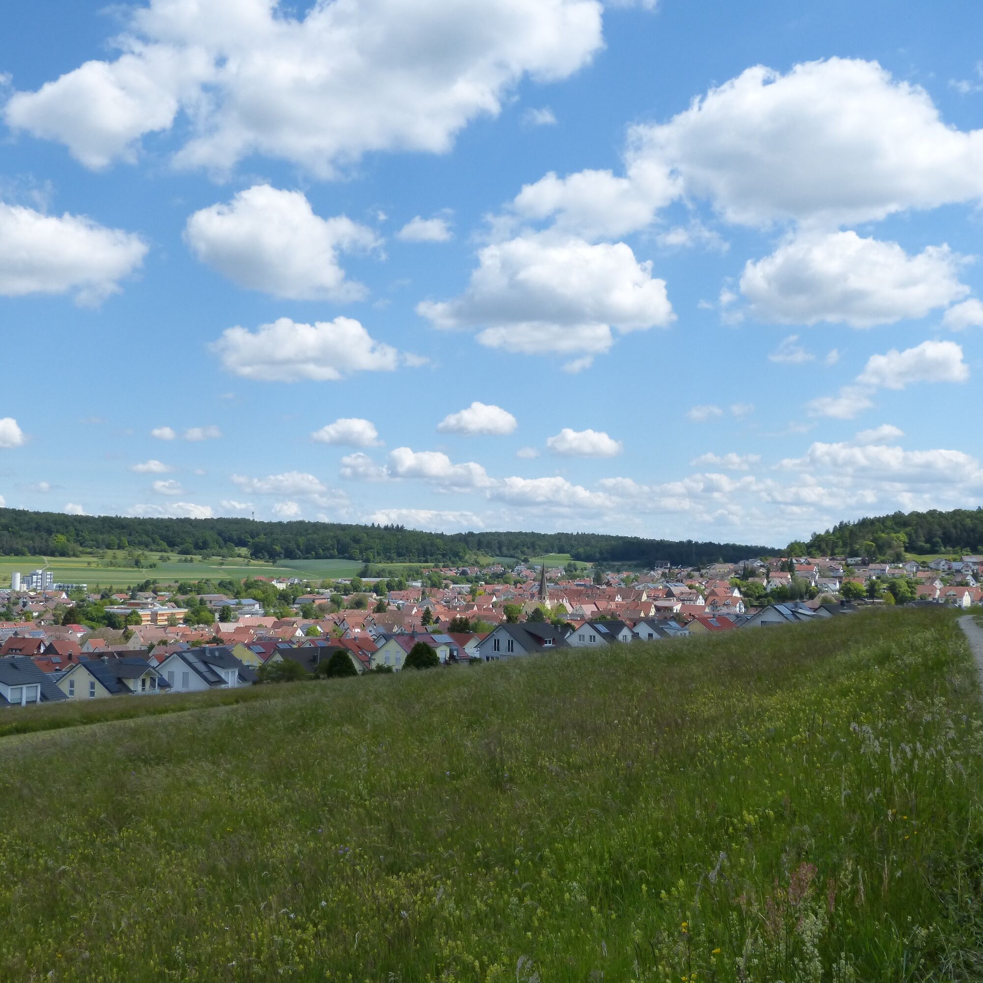
Here, too, we always go straight ahead until, after leaving the forest, we reach the Möttlingen lime tree near the sports facilities. From here we continue half-right until after about 700 m we cross another road from Münklingen to Möttlingen. Again, we continue straight ahead, and after about 700 m, shortly after the horse farm and just before the road from Münklingen to Neuhausen, we turn left onto the field path, which we follow straight ahead until we reach the cemetery at the entrance to Neuhausen. Here, unfortunately, we have to switch downhill to the lightly trafficked local road and follow Pforzheim road half-left towards Schellbronn in the town center.
At the end of the village, after the sports ground, we change to the left side of the road and continue straight ahead through the Lidl parking lot and the beverage market until we reach the beginning of the bike path towards Schellbronn. After about 350 m, we see a field path on the right side of the road. We switch onto this and follow it past the Layher See. Immediately after the lake, we turn left and follow the field path to the visible edge of the forest. There we turn right for about 400 m to the road from Neuhausen to Hamberg. We follow this road about 100 m to the right and then left along a field path that leads us after a few hundred meters to the already visible Wendelinus Chapel.
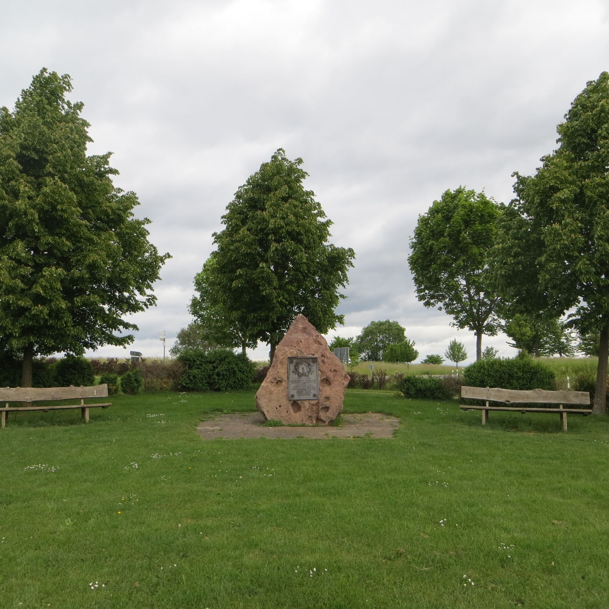
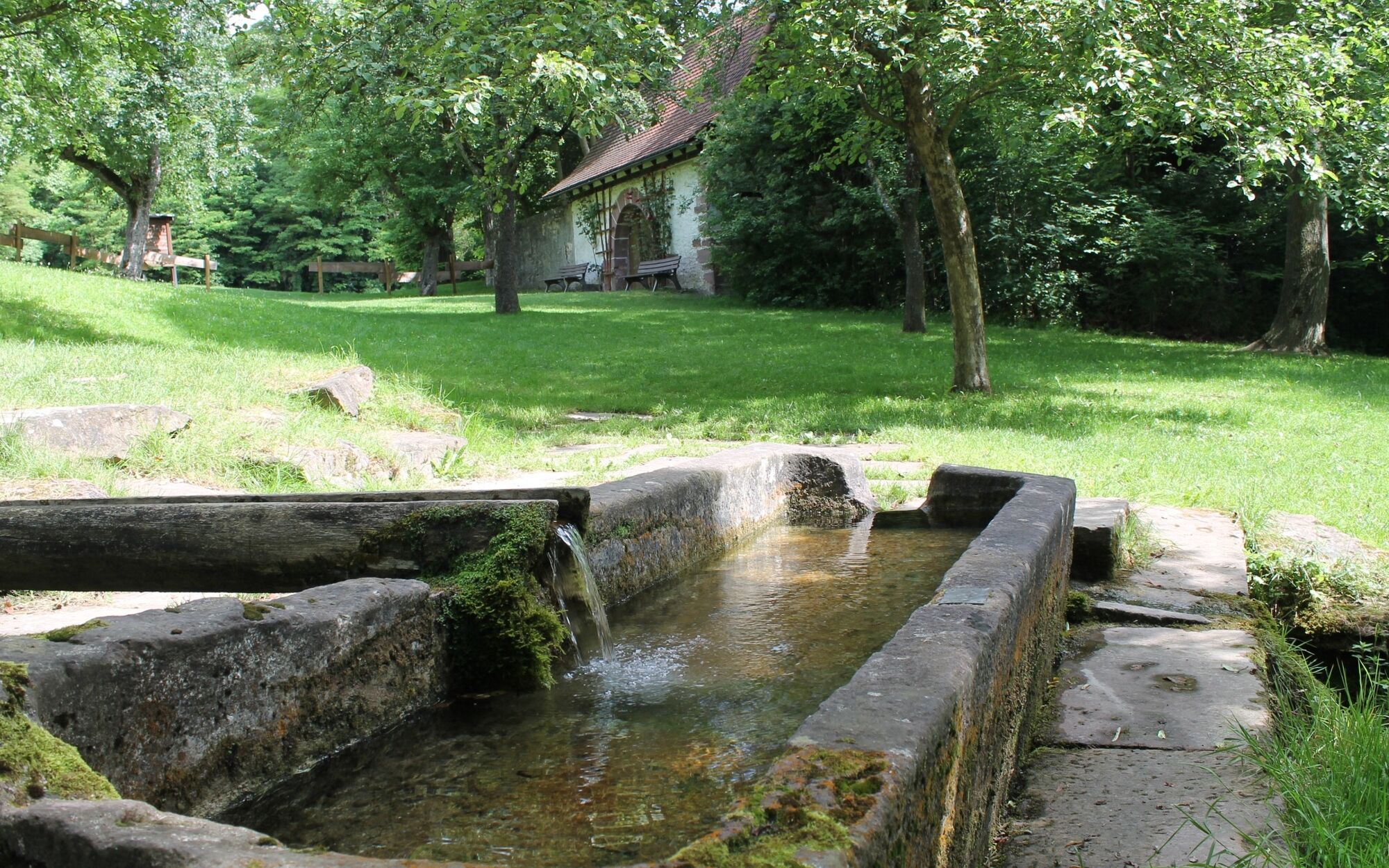
After a well-deserved break, we pedal left past the chapel about 50 m downhill towards Steinegg. There we go straight onto the field path on the other side of the road. After 200 m, we pass the Chernobyl Memorial Stone. Here we continue east along the forest edge until we reach a hut in the forest. There, at the Volkert Hut, we continue straight downhill. After about 700 m in the forest at a triangular junction, we turn right until after about 300 m in the valley we reach the Würmtal bike path. Here we turn right until shortly after a skateboard facility we reach a parking lot. At the small chapel there, we turn sharp right uphill about 150 m on the bike path towards Lehningen.
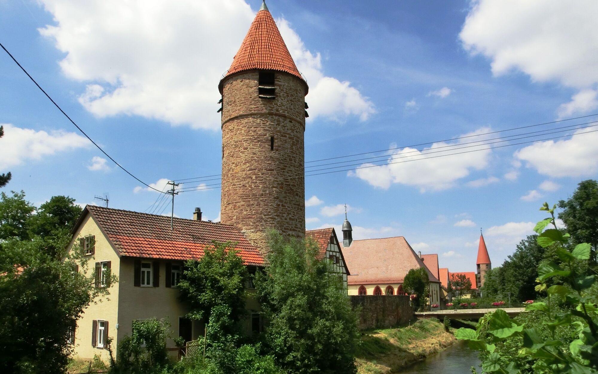
Here we cross the road and follow the path along the Wurm and cross the Würmtal road at the aviator memorial. We follow the short bike path until, after the farmhouse, we join a wide bike path. Here we turn right towards Weil der Stadt. After about 1.5 km, we cross the road from Hausen to Heimsheim. We continue straight until after about 2.5 km we reach Merklingen.
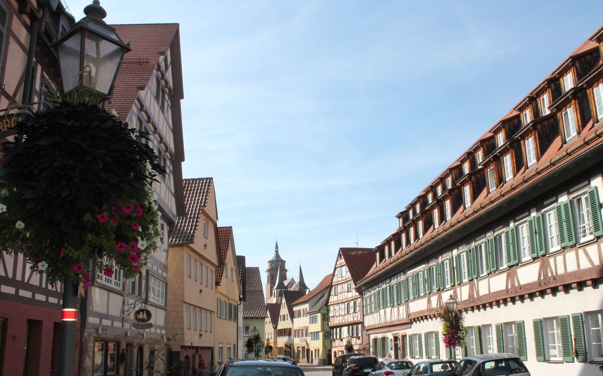
There we meet a main road, which we follow left for about 300 m. Then we turn right onto the signed bike path to Weil der Stadt. We follow this bike path to Weil der Stadt. Here, we ride over the market square to Calw gate, cross the street at the pedestrian traffic light, and cross the B 295 at the roundabout, where we reach the bike path to Simmozheim/Althengstett and meet the bike path again at the animal rescue station, which led us out of Althengstett.
Coming from the Nagold valley, drive on the B294 towards Weil der Stadt and turn off at the junction to Althengstett.
Accessible by bus 670 from Calw central bus station, get off at: Althengstett, town hall. The route start can be reached within a few minutes.
Parking is available at the community center and at the school.
1
Tourismus Gmbh Northern Black Forest
Sonnenweg 5
75378 Bad Liebenzell
07052-8169770
The bike route can be extended by 10 km. The route leads via Schellbronn and the holiday home settlement to the 40m high observation tower "Hohe Warte".
Obľúbené výlety v okolí
-
4,7
Hiking through the Monbach Gorge in search of the kingfisher
strednáTuristika 10,5 km -
5,0
Wild romantic Monbach Valley
svetloTuristika 6,25 km -
4,0
Wolfsschlucht and Fox Gorge
strednáTuristika 9,74 km -
4,7
Through the wild romantic Schweinbachtal to the Bruderhöhle cave
strednáTuristika 13,8 km -
5,0
Der Teinacher (Premiumweg & Genießerpfad)
strednáTuristika 12,0 km -
5,0
Water, Woods and Meadowtrail / Zavelstein > Calw (Premium trail & Genussweg)
ťažkéTuristika 14,4 km -
5,0
From Bieselsberg into the wild Monbach valley - dream route on small paths
ťažkéTuristika 18,0 km -
5,0
AugenBlick route Bad Teinach-Zavelstein Zettelberg
ťažkéTuristika 15,5 km -
4,5
Waldeck ruins and the largest water wheel in Europe
strednáTuristika 15,4 km -
4,0
Through the Lengenbach valley to the historic Burg Liebenzell
strednáTuristika 10,9 km
Turistika a stopovanie


Nenechajte si ujsť ponuky a inšpiráciu na ďalšiu dovolenku
Vaša e-mailová adresa bol pridaný do poštového zoznamu.