



Through the Nagold and Enz valley to Himmelsglück

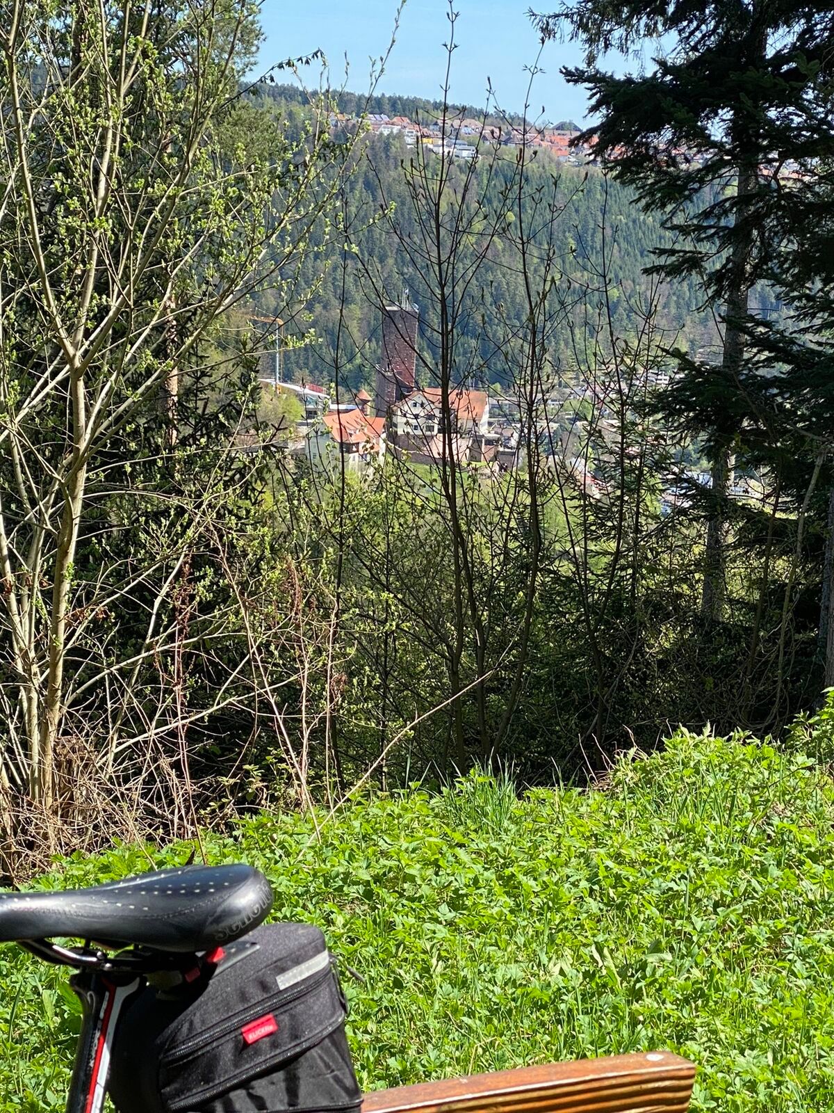
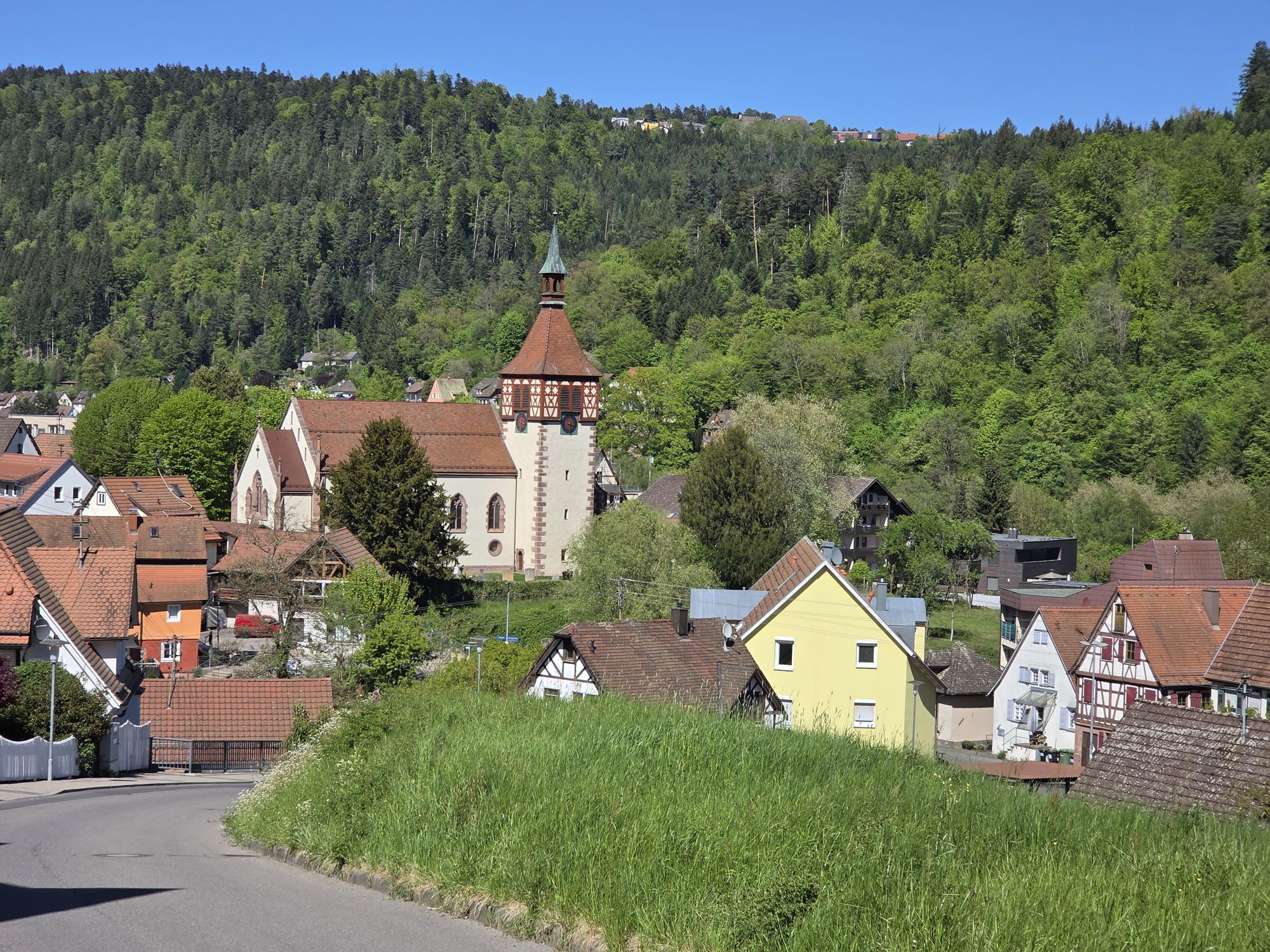


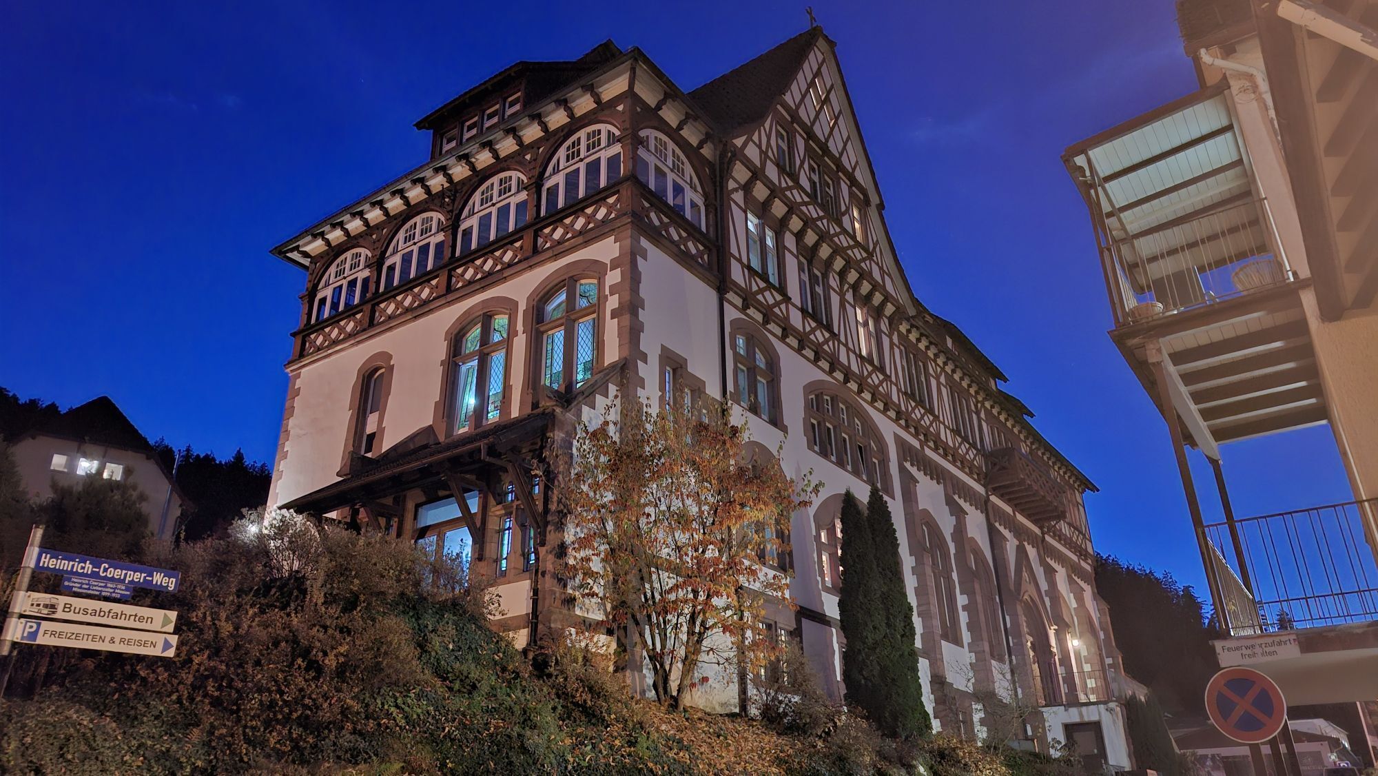
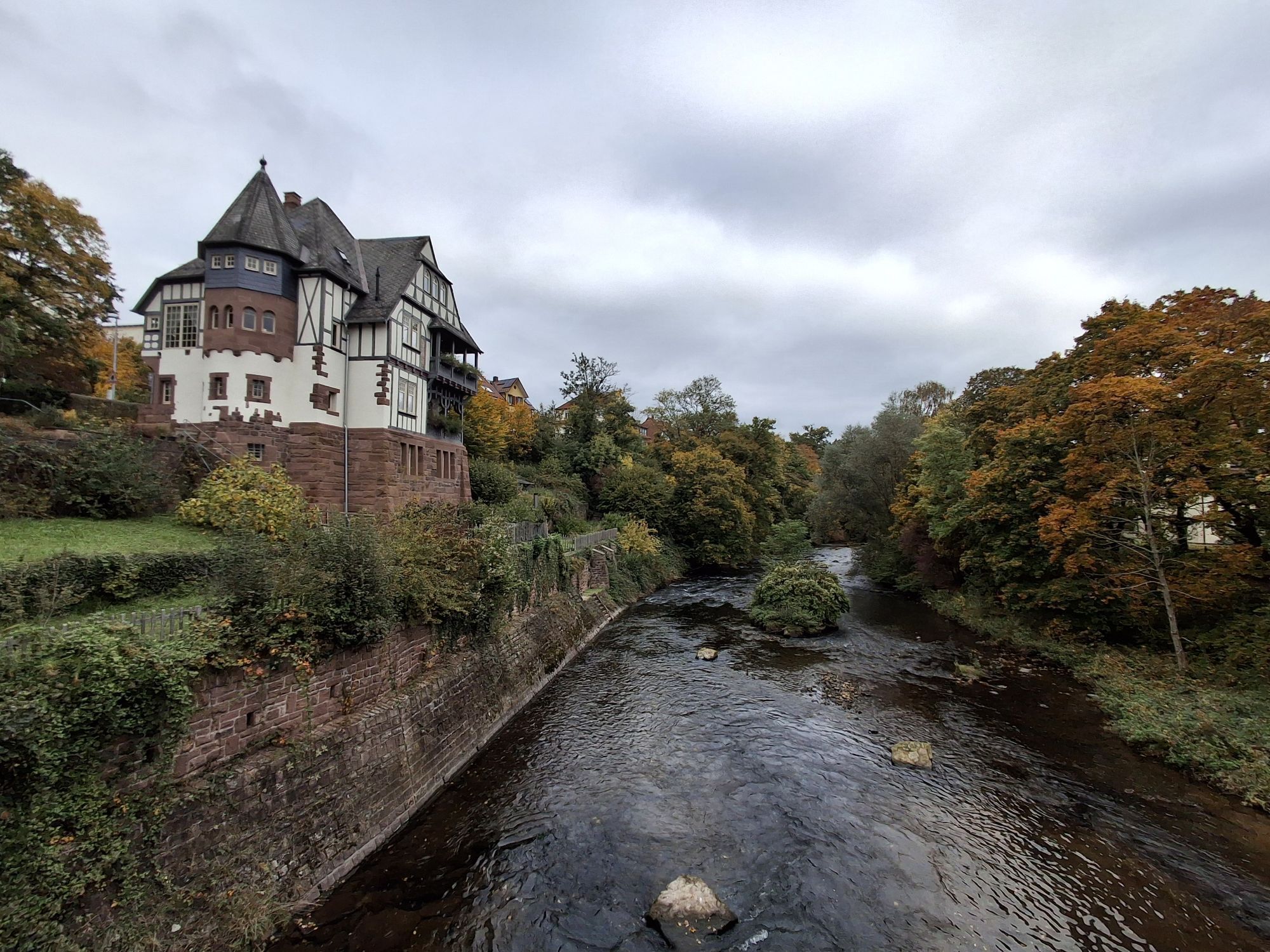
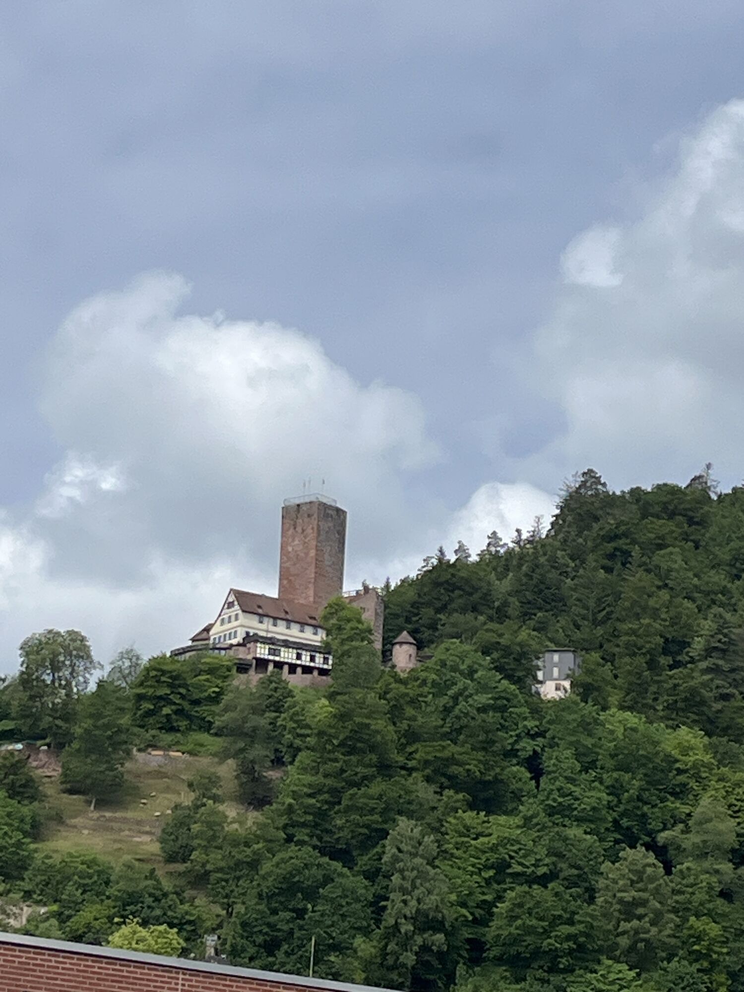
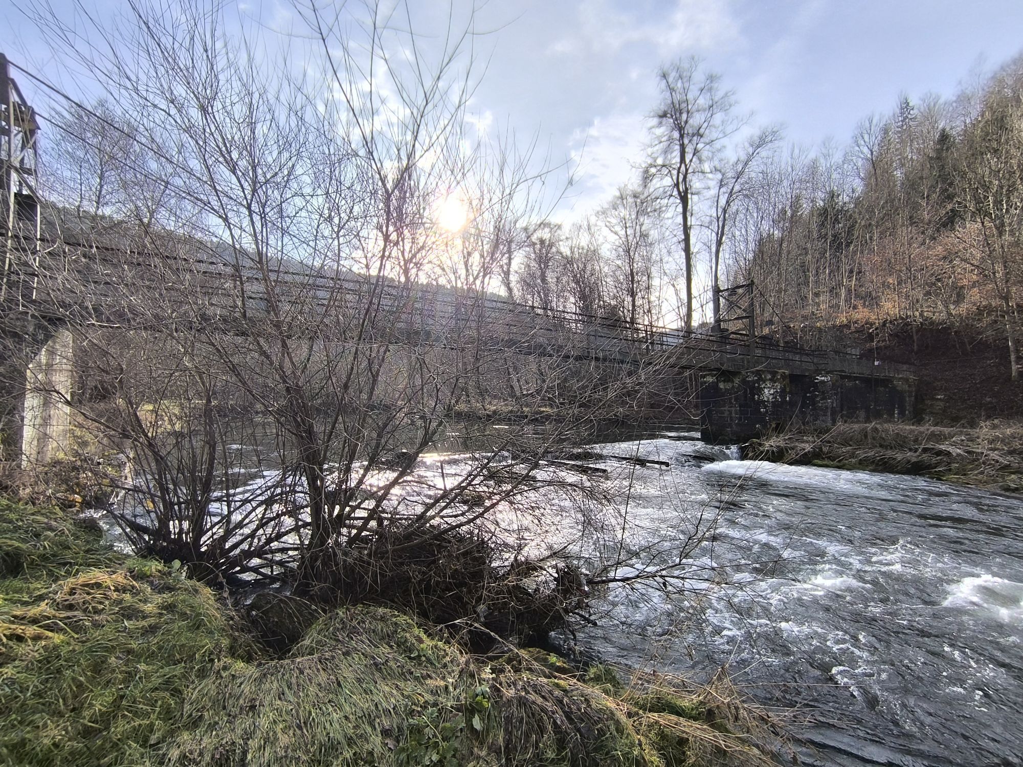
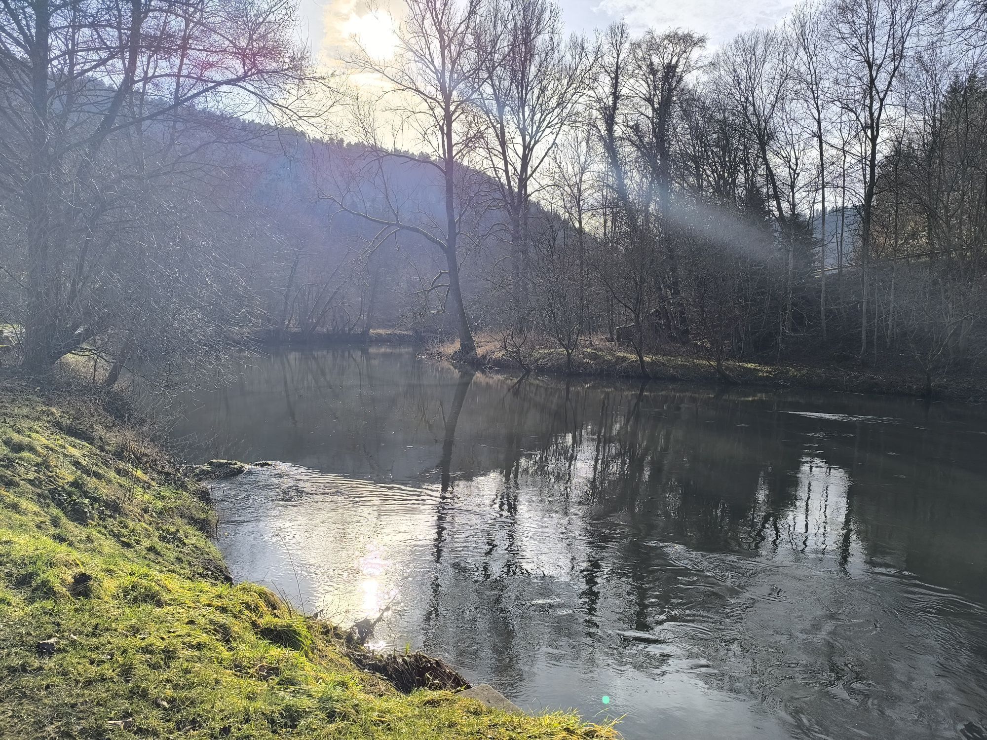
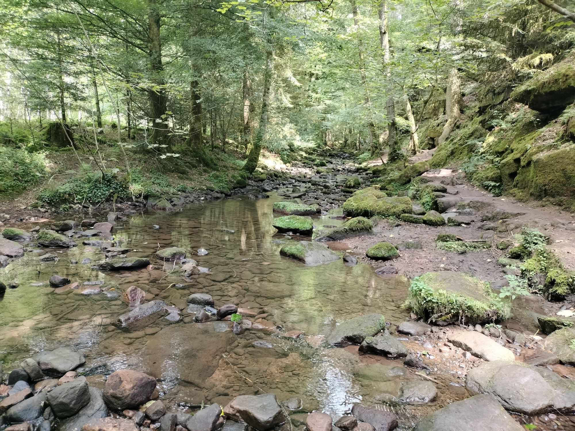
From the spa town of Bad Liebenzell, you go up the first few meters of elevation through the quiet Lengenbachtal. Above and past the Maisenbacher Sawmill, we soon pass through the village of Oberlengenhardt....
From the spa town of Bad Liebenzell, you go up the first few meters of elevation through the quiet Lengenbachtal. Above and past the Maisenbacher Sawmill, we soon pass through the village of Oberlengenhardt. From here, we can almost see the "Himmelsglück" lookout tower. Just a few meters more up the hill and we are already standing in front of the largest lookout tower in the Holzbauwiese. A visit to the viewing platforms offers a great view all the way to the Swabian Jura.
Through the fragrant forests, it first goes towards Langenbrand before we descend through the Förtelbachtal to Höfen an der Enz. On the Enztalradweg, we pass the Eyachtal and cross Neuenbürg before reaching the Golden City of Pforzheim. There, the Nagold flows into the Enz. For us, it now continues on the Nagoldtalradweg. Past the historic castle and the stone bridge, it always runs parallel to the river through the Nagold valley. We pass through Unterreichenbach and cycle past the Monbachtal back to Bad Liebenzell.
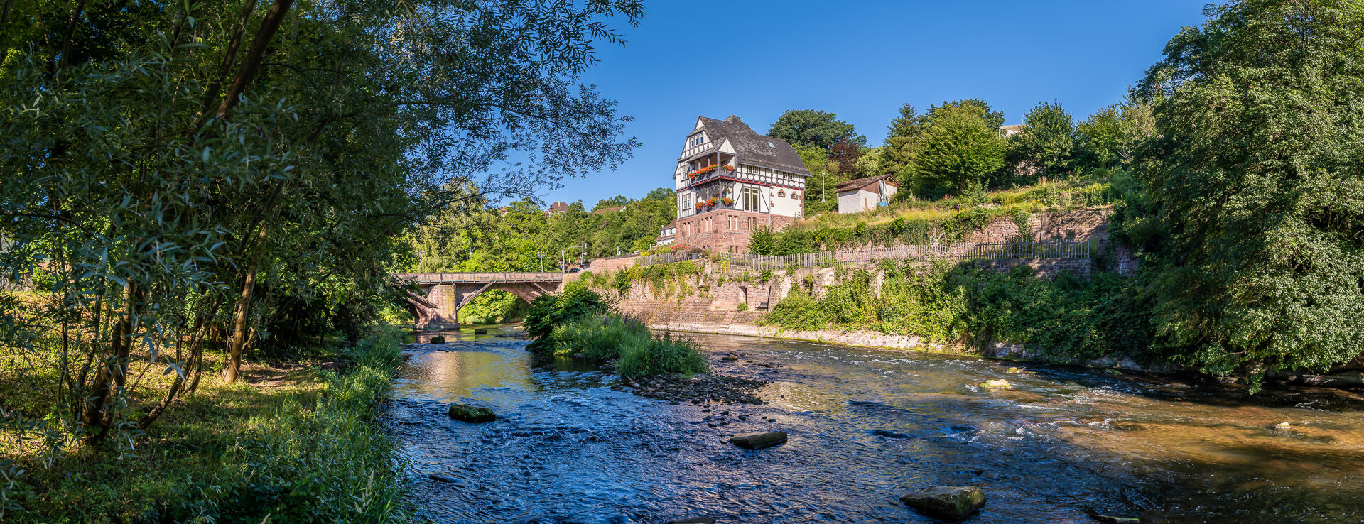
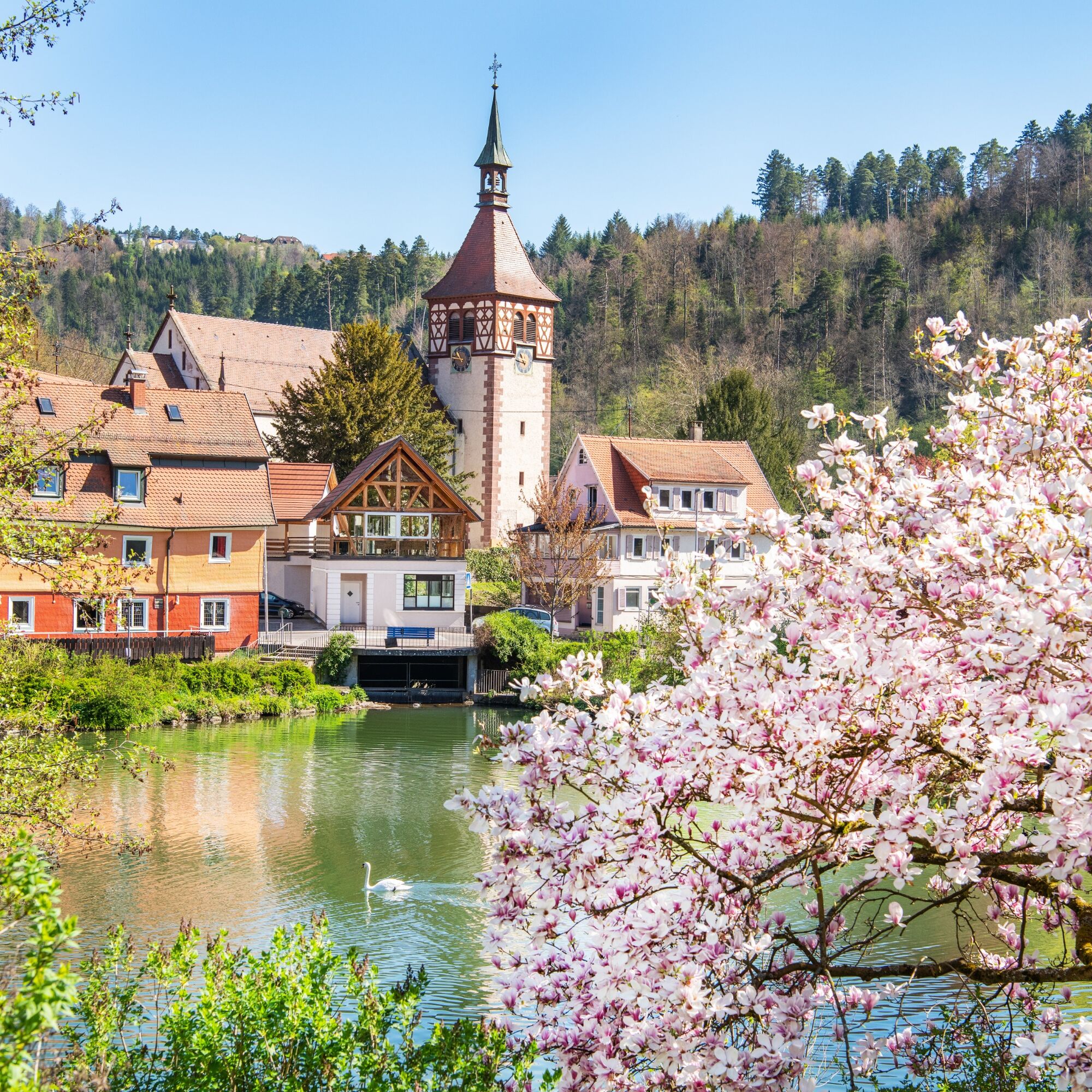
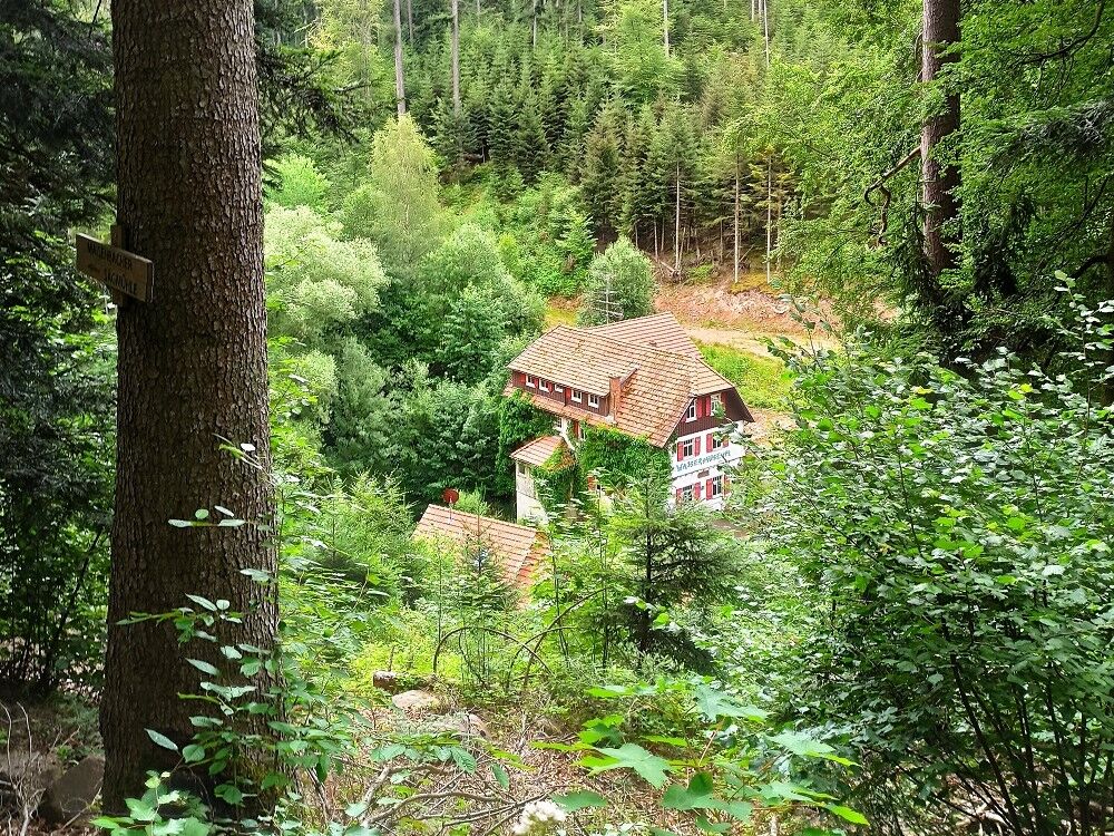
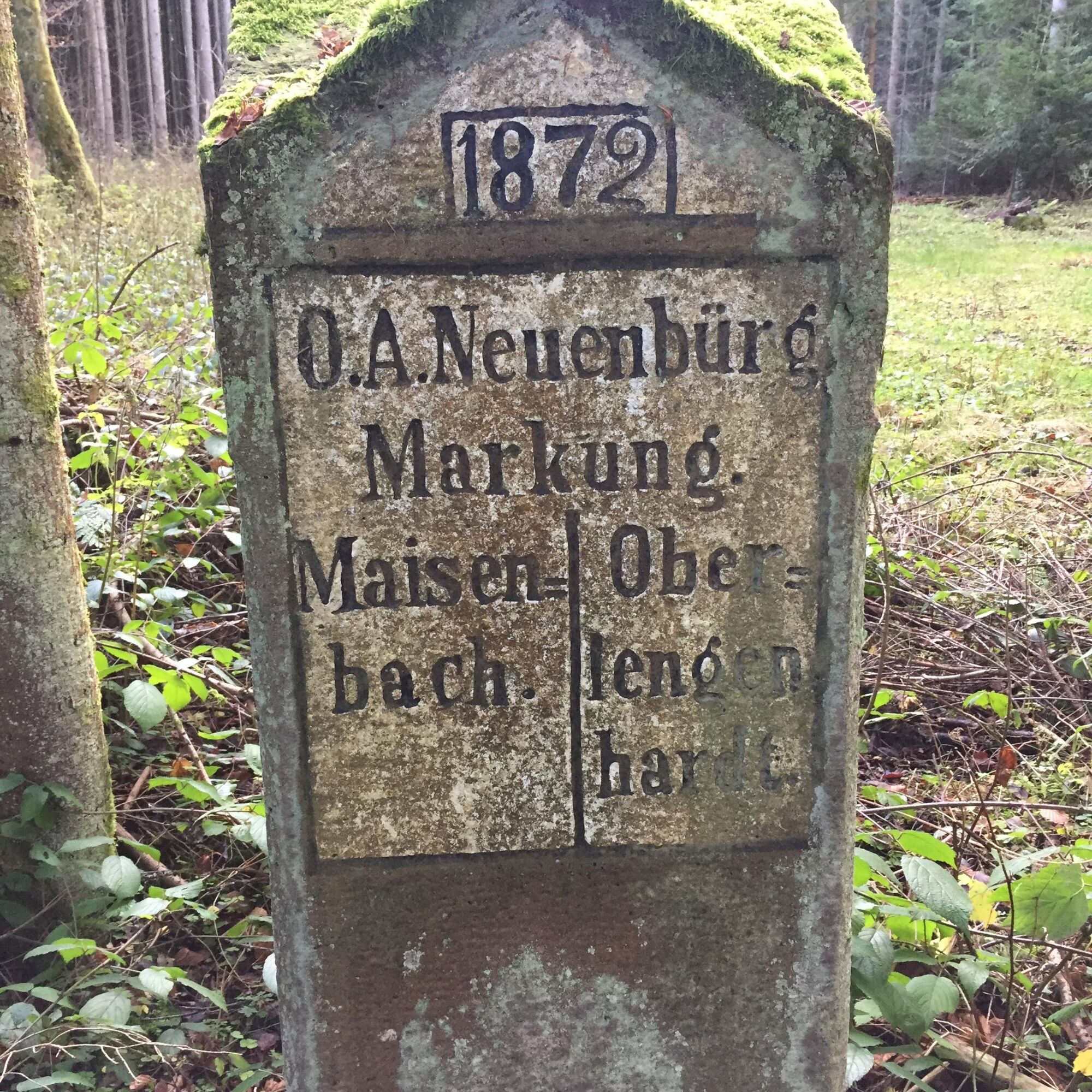
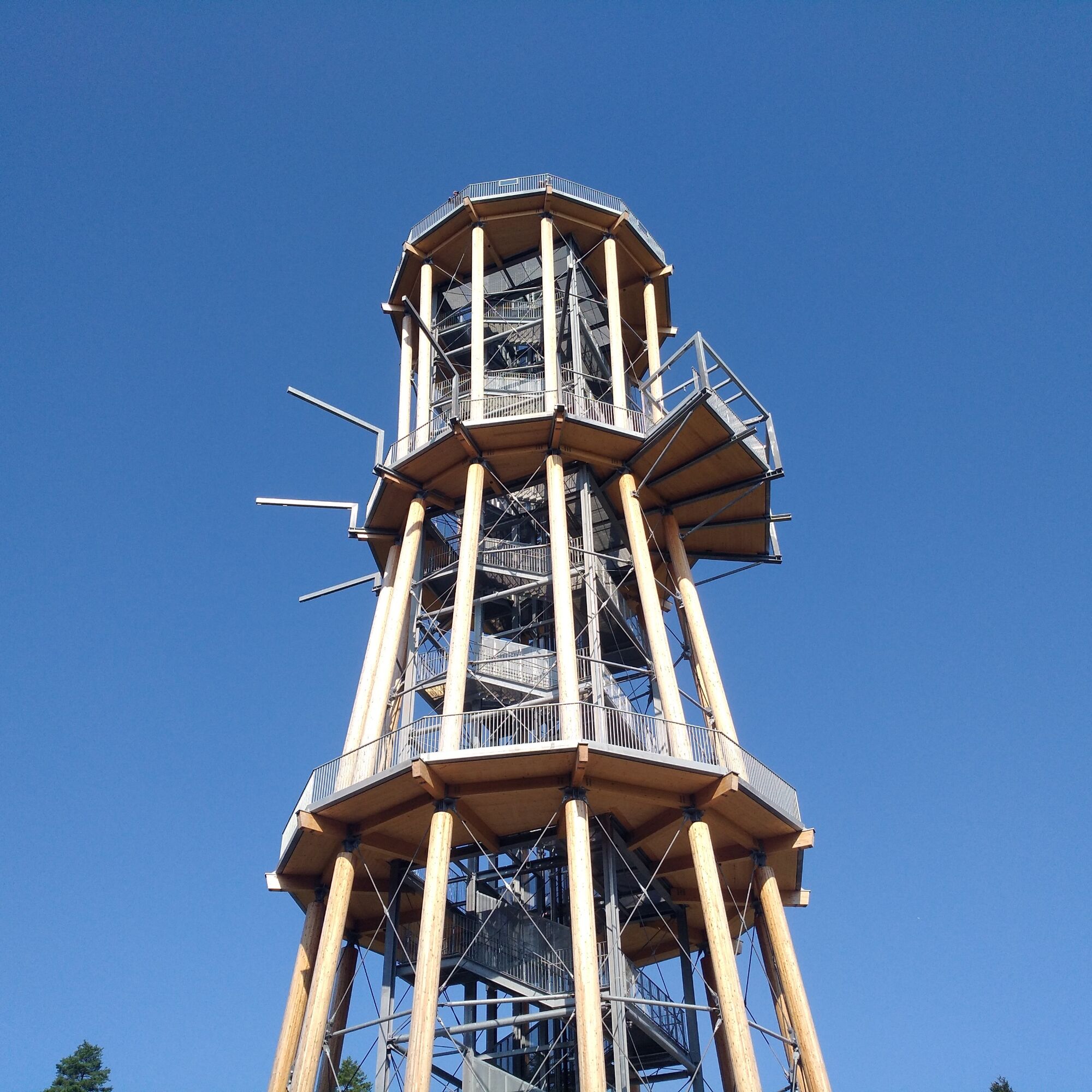
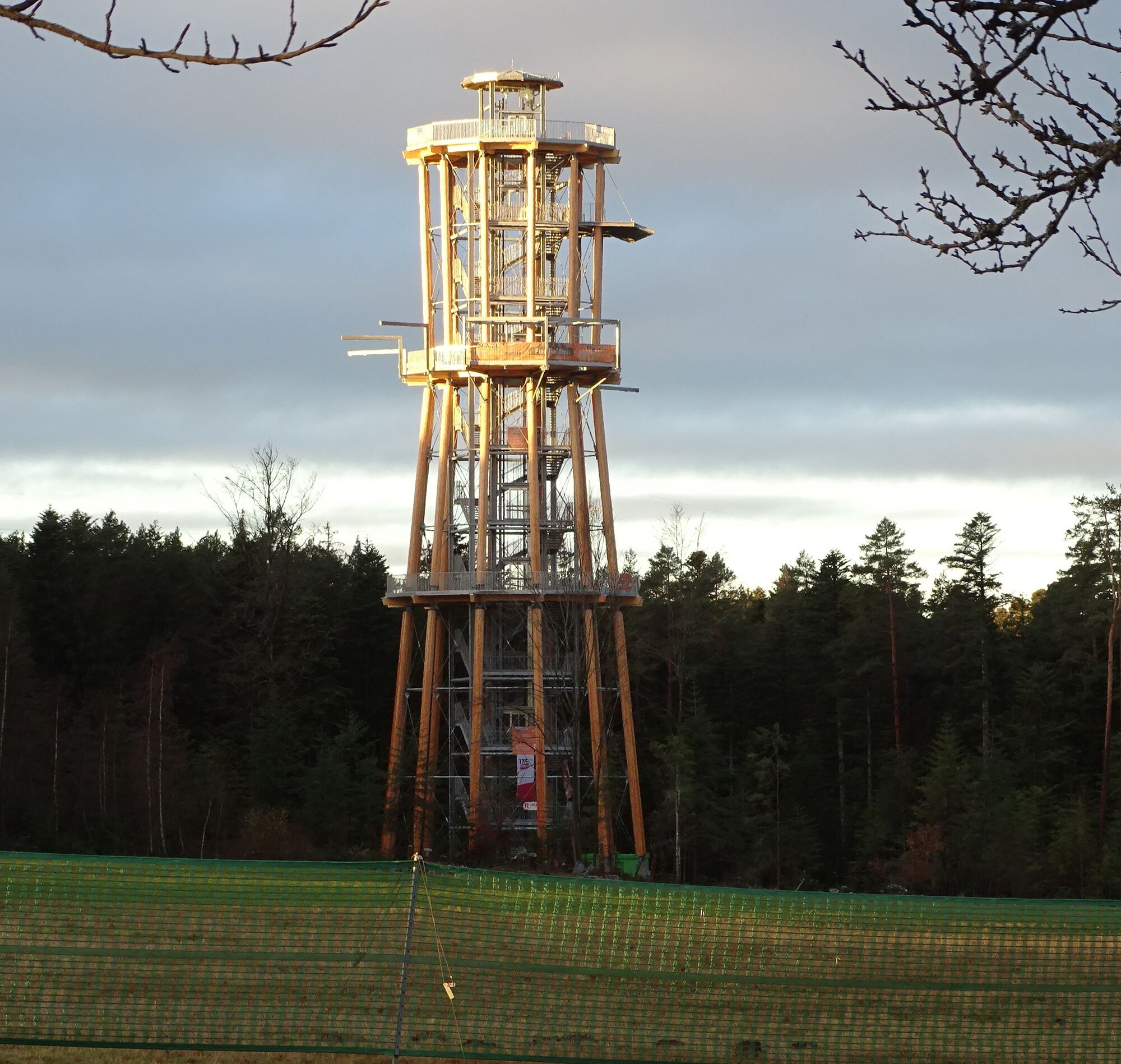
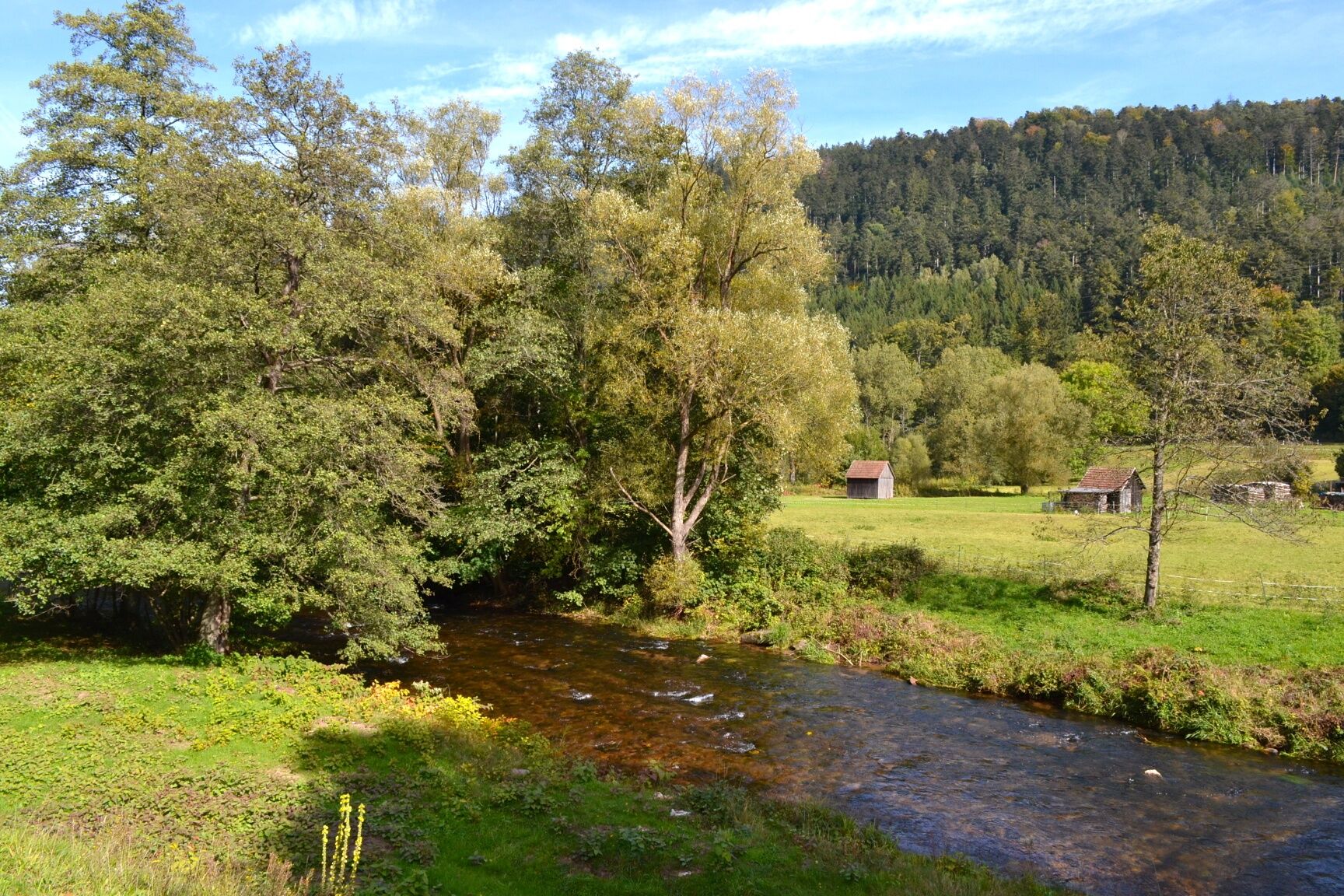
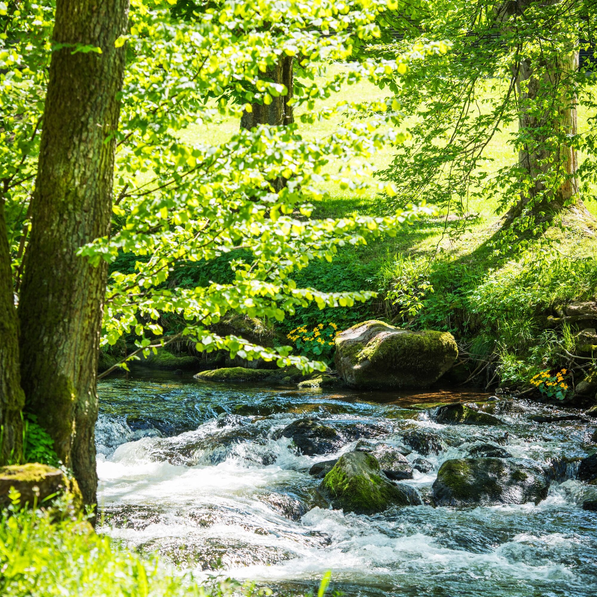
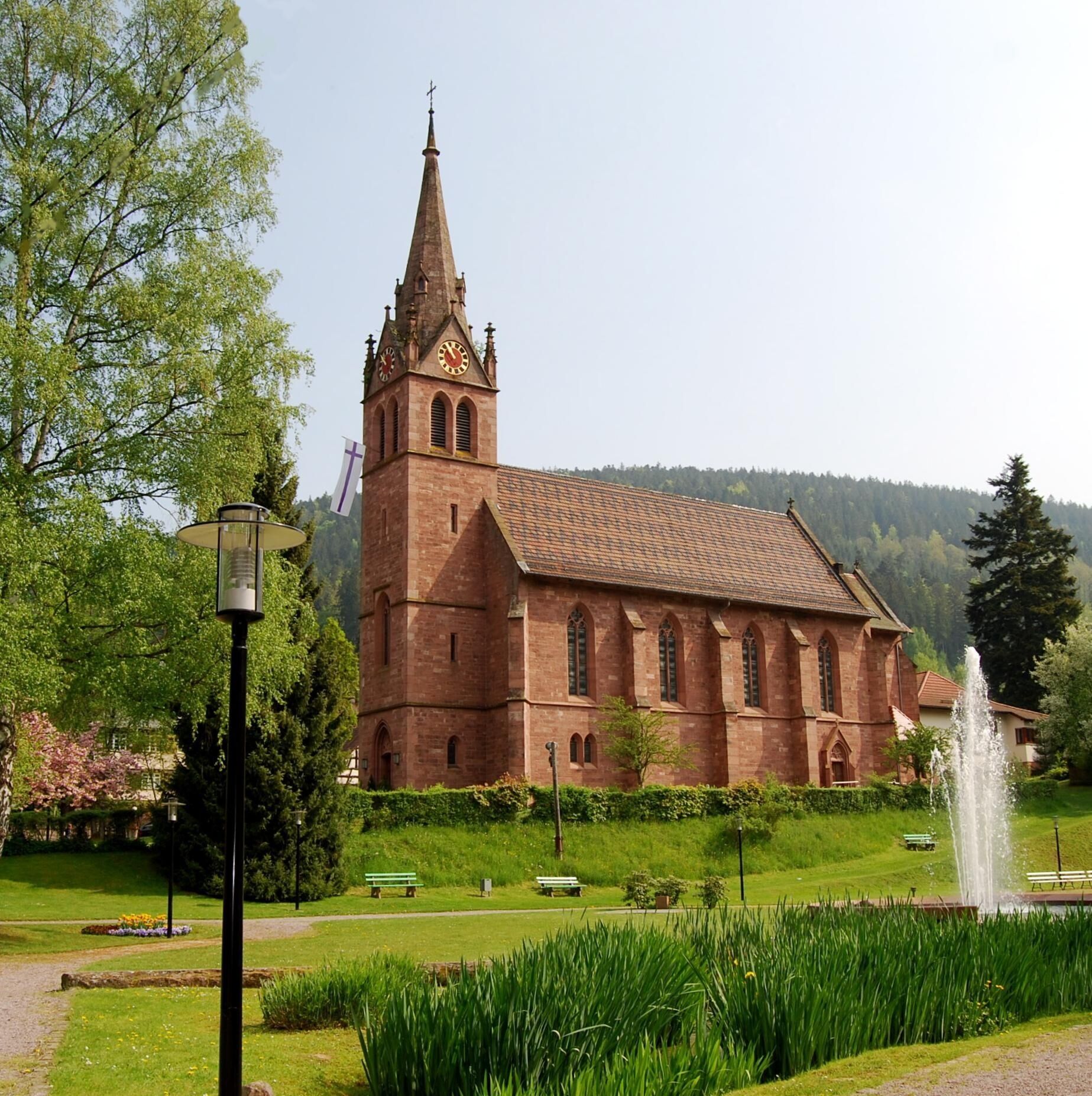
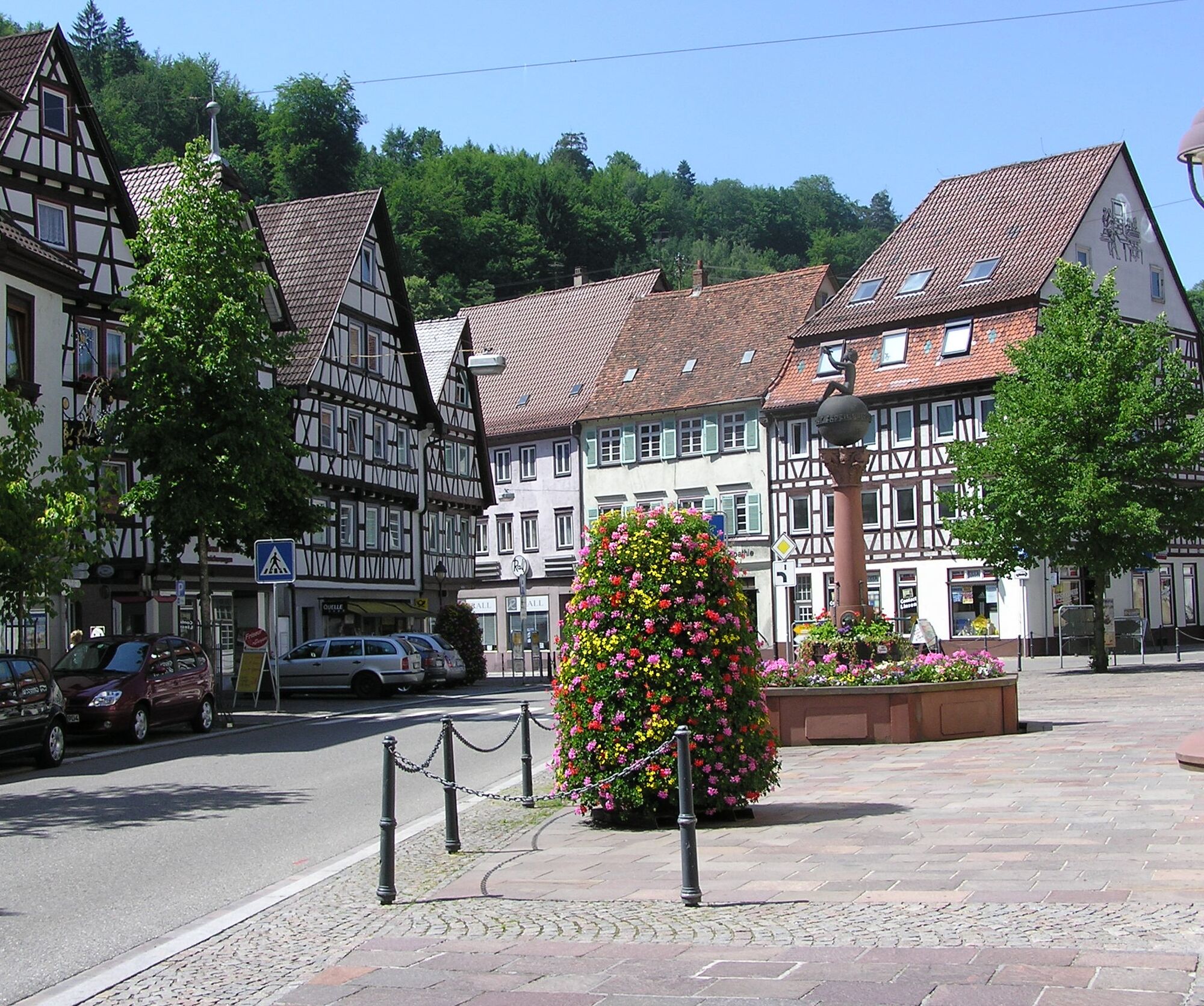
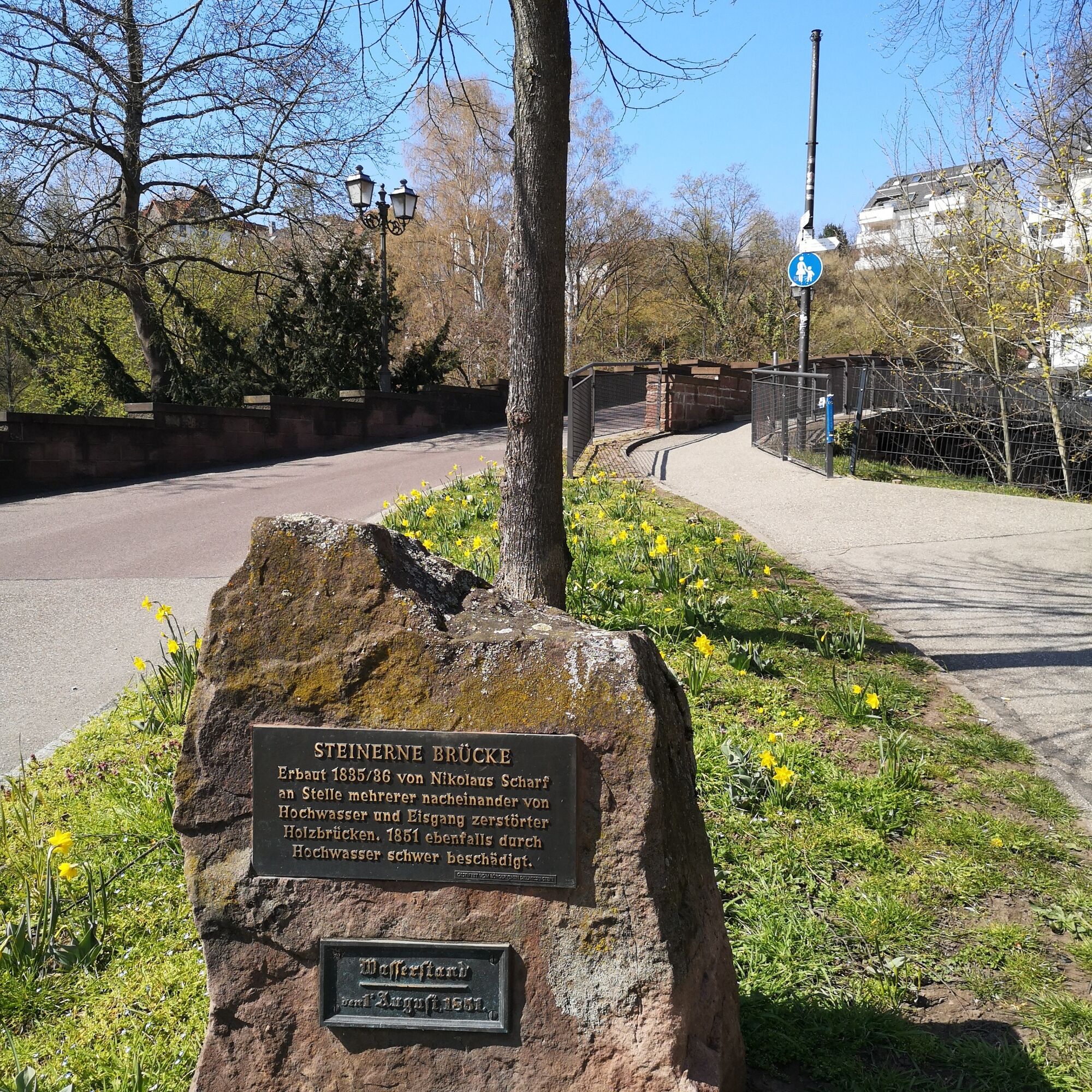
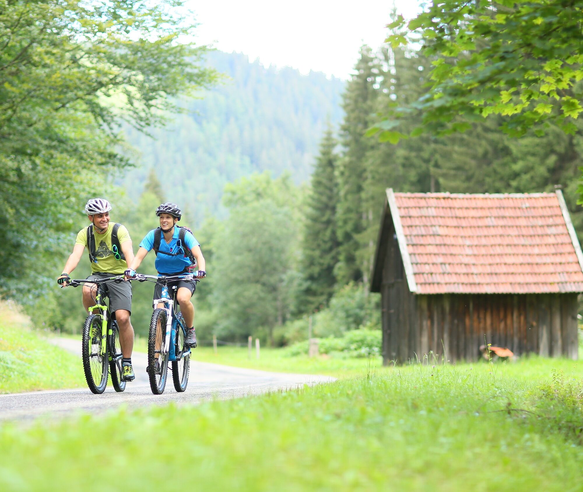
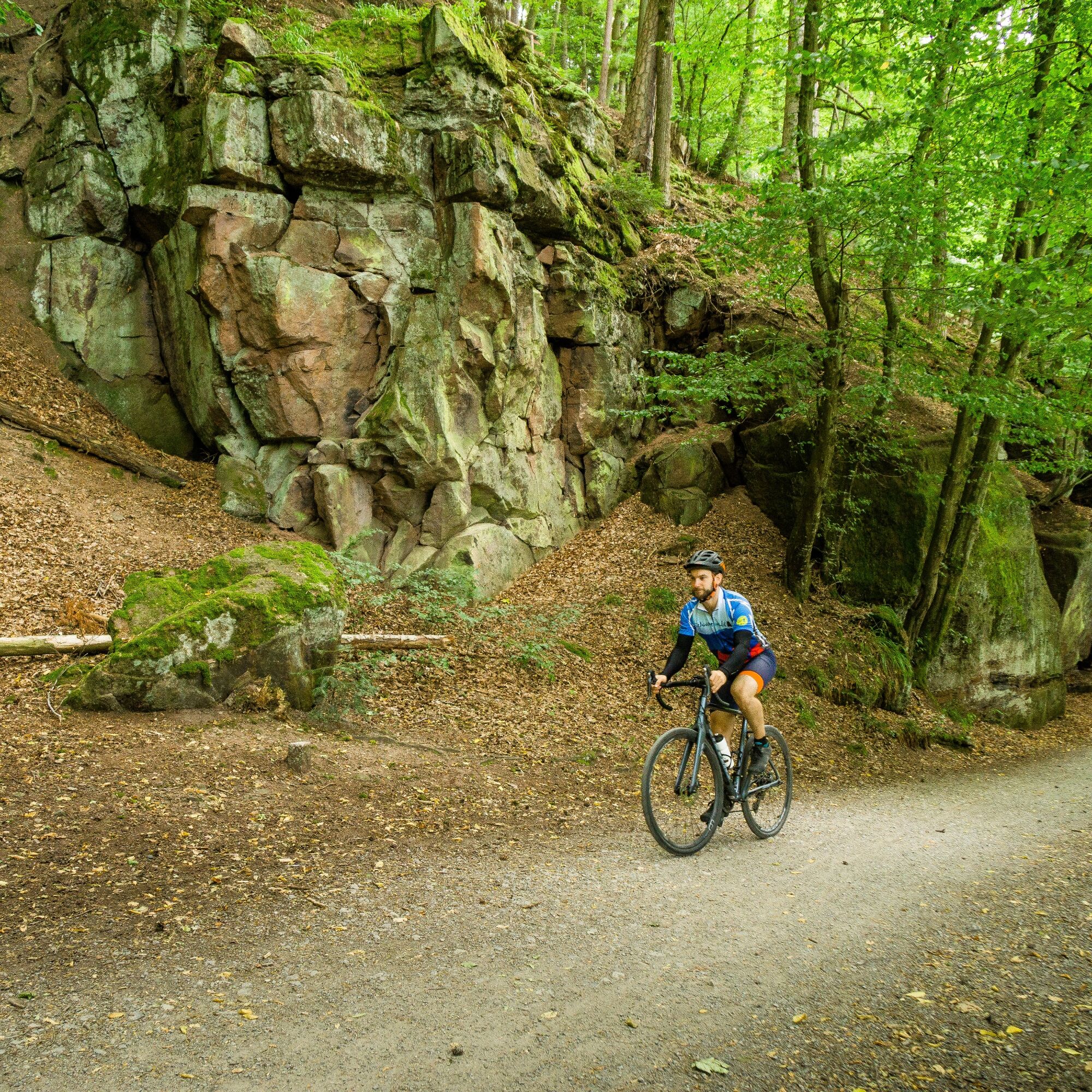
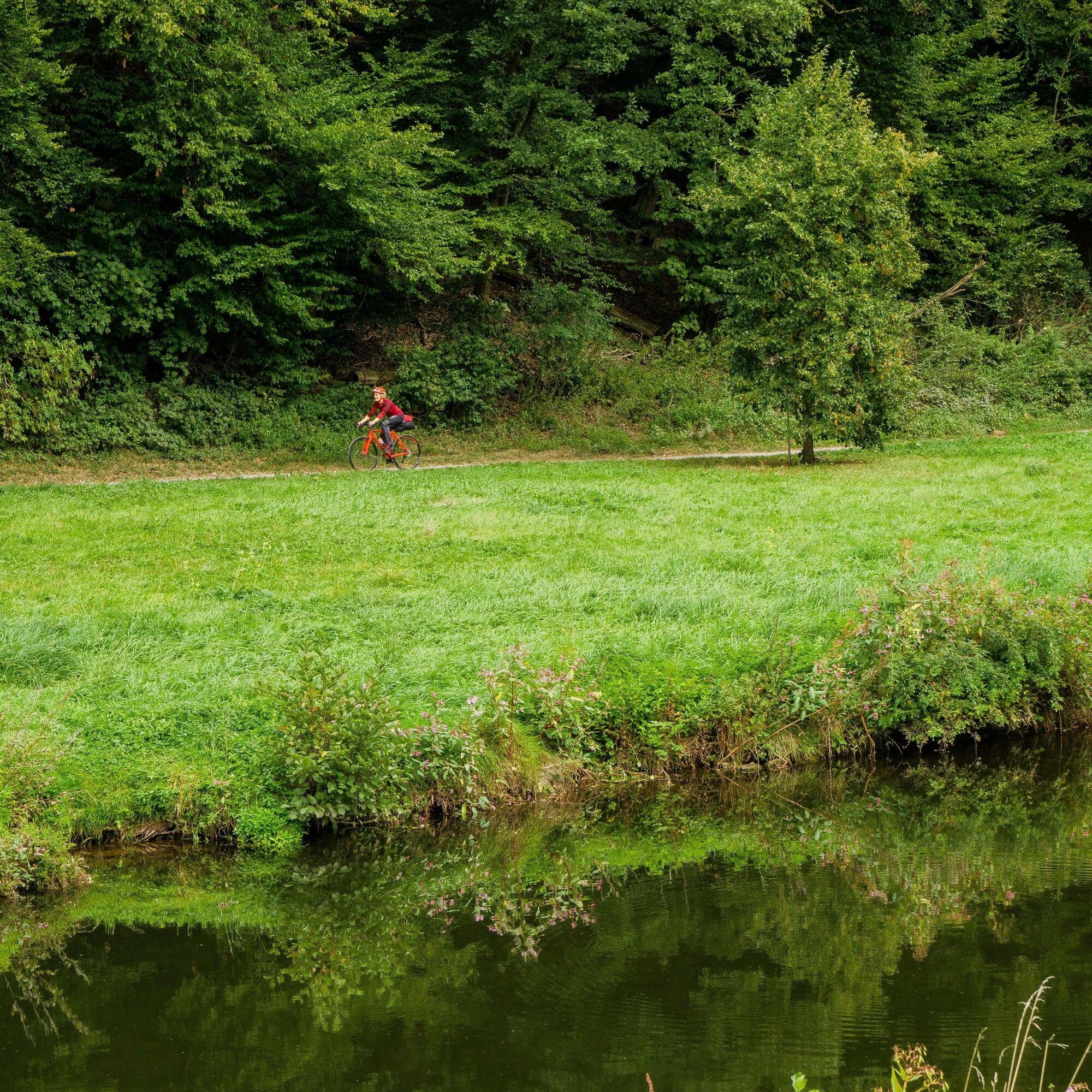

Except for a short section between Oberlengenhardt and the Maisenbacher Sawmill, the entire route runs on the marked cycling network. In the Nagold valley and the Enz valley, you are also on the signposted river cycle paths "Nagoldtalradweg" and "Enztalradweg", which intersect in Pforzheim.
Bike equipment, catering, maps
Bad Liebenzell can be reached via the B463 from Pforzheim and Nagold/Horb.
From Weil der Stadt, the best route is via the L343.
The Kulturbahn connects the entire Nagold valley every 30 or 60 minutes.
Pforzheim - Unterreichenbach - Bad Liebenzell - Calw - Wildberg - Nagold - Horb
Bike transport is possible on the Kulturbahn!
Free parking is available on Regulastraße.
Tourismus GmbH Northern Black Forest
Sonnenweg 5
75378 Bad Liebenzell
Tel: 07052-8169770
You can admire and enjoy an XXL Black Forest cherry cake at the Hotel Ochsen in Höfen an der Enz - a large and delicious treat!

Obľúbené výlety v okolí
-
4,6
Hiking through the Monbach Gorge in search of the kingfisher
strednáTuristika 10,5 km -
5,0
Wild romantic Monbach Valley
svetloTuristika 6,25 km -
4,5
Circular route via spring nature trail and Wurstberg
svetloTuristika 8,08 km -
4,8
Eyach round
strednáTuristika 7,84 km -
4,7
Through the wild romantic Schweinbachtal to the Bruderhöhle cave
strednáTuristika 13,8 km -
3,0
Dobel High-Altitude Route
strednáTuristika 11,8 km -
5,0
From Bieselsberg into the wild Monbach valley - dream route on small paths
ťažkéTuristika 18,0 km -
4,3
Walk to Bernsteinfelsen
strednáTuristika 14,5 km -
4,0
Bad Herrenalb town circuit
strednáTuristika 10,5 km -
4,3
The hang glider route
strednáTuristika 9,09 km
Turistika a stopovanie


Nenechajte si ujsť ponuky a inšpiráciu na ďalšiu dovolenku
Vaša e-mailová adresa bol pridaný do poštového zoznamu.


