







Big lake Schluchsee tour

Úroveň náročnosti: 3
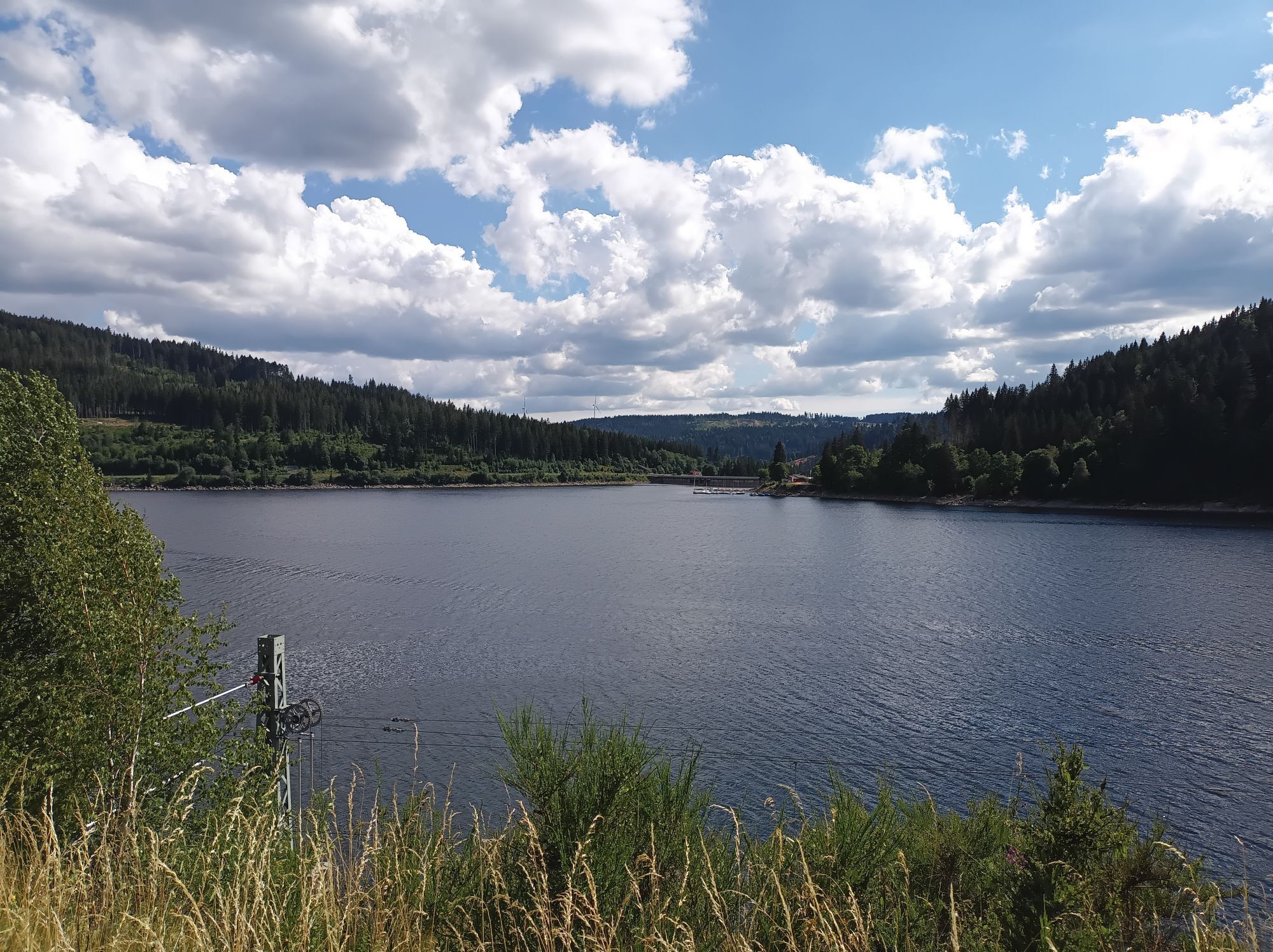
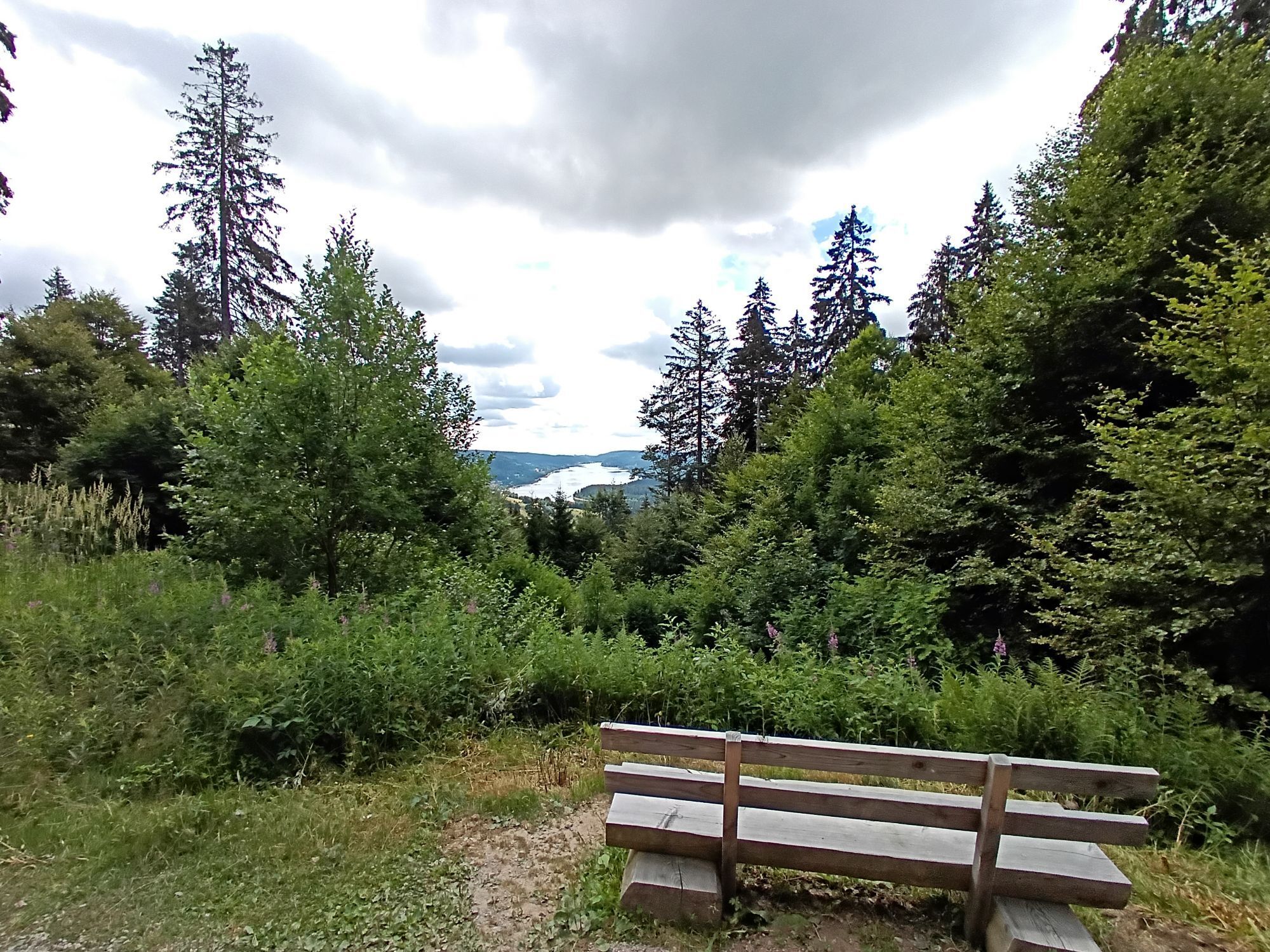
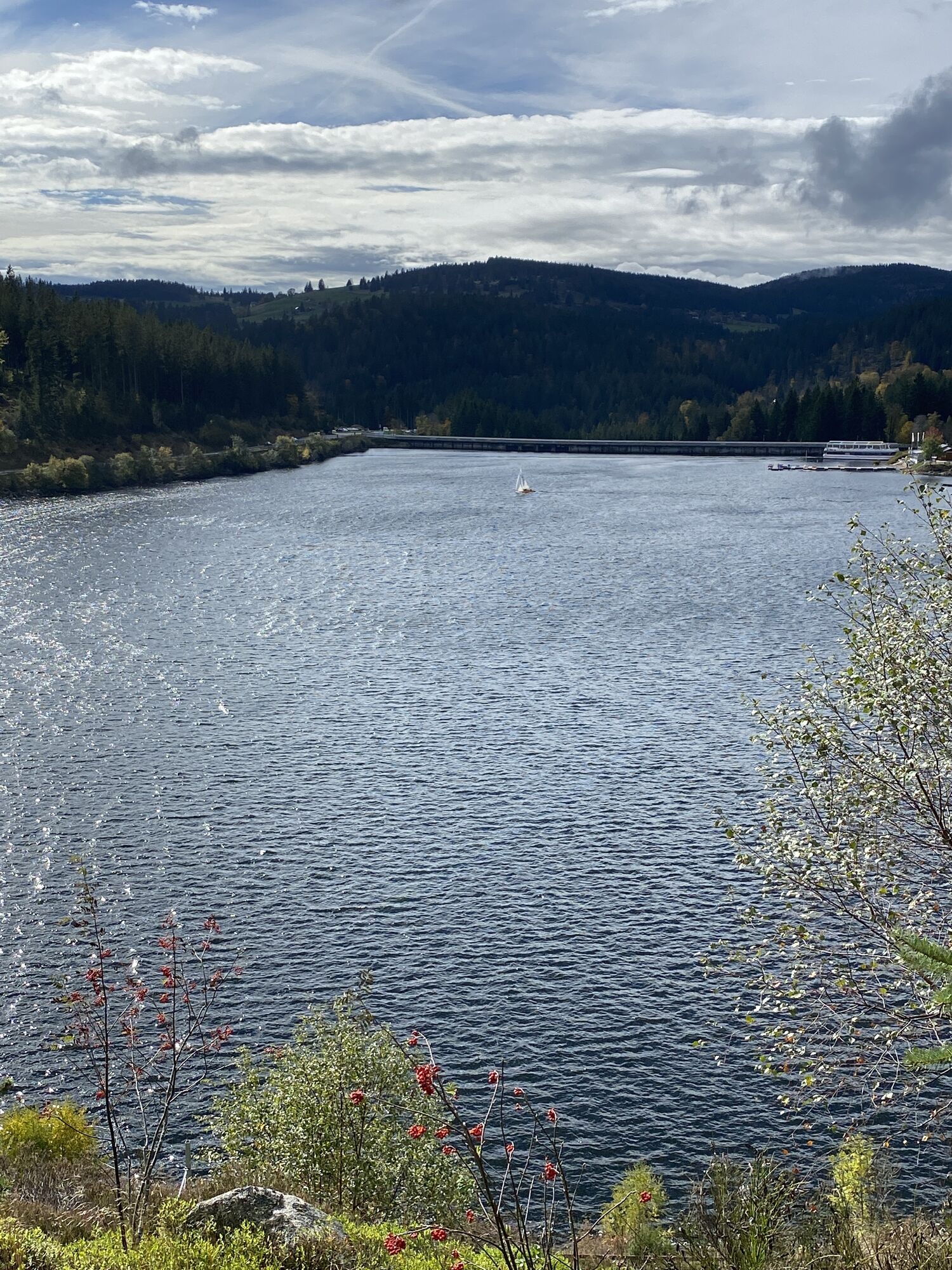
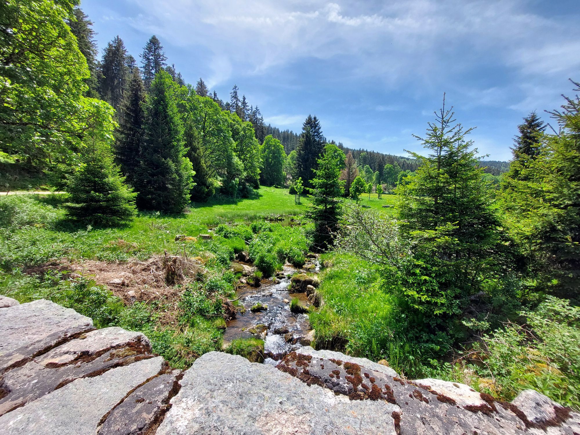
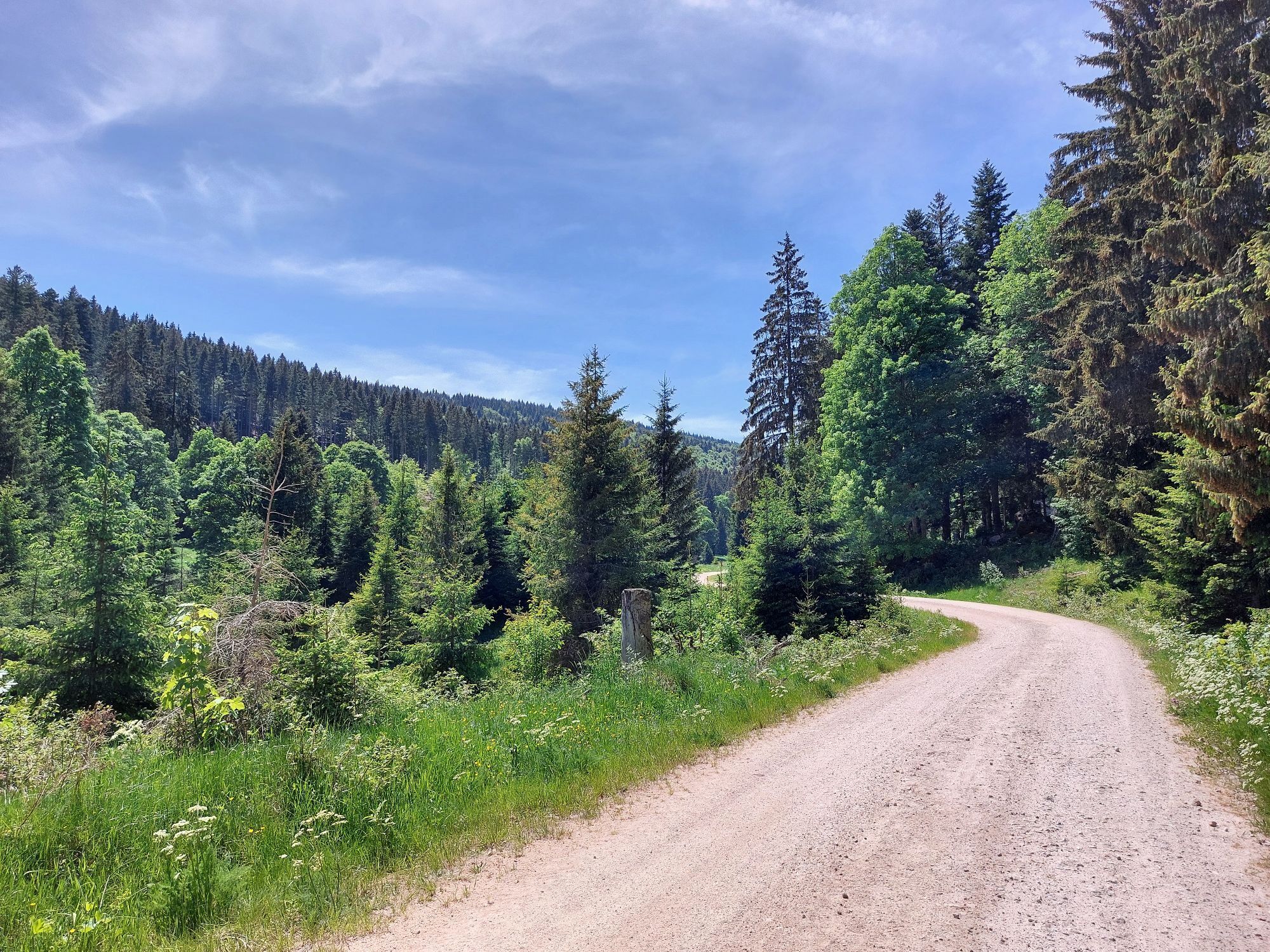
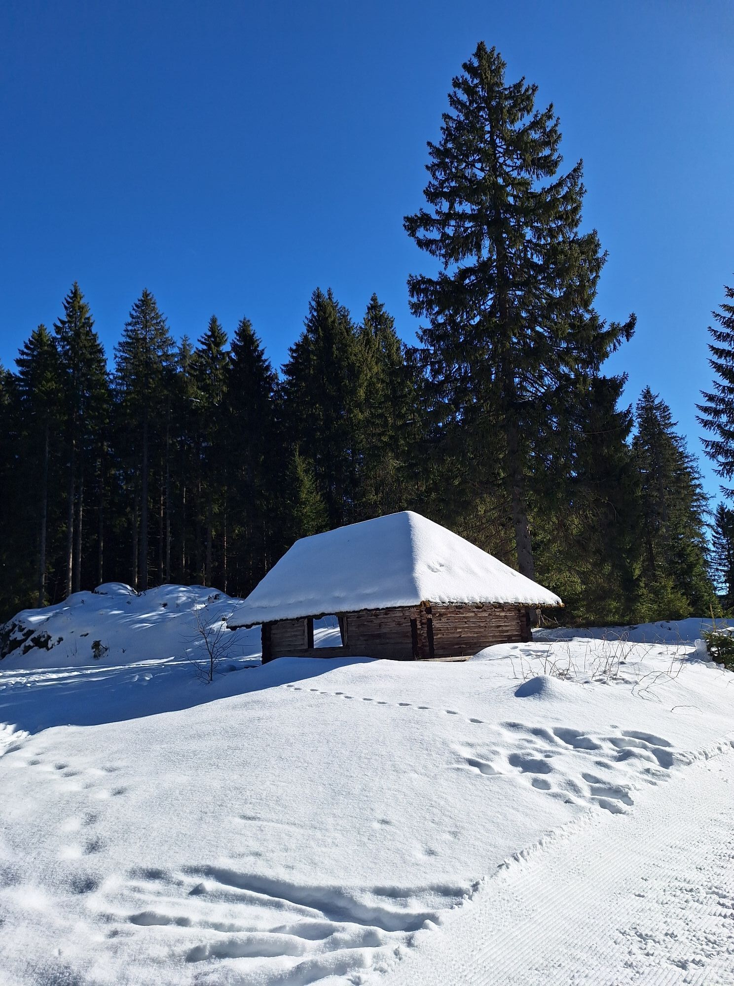
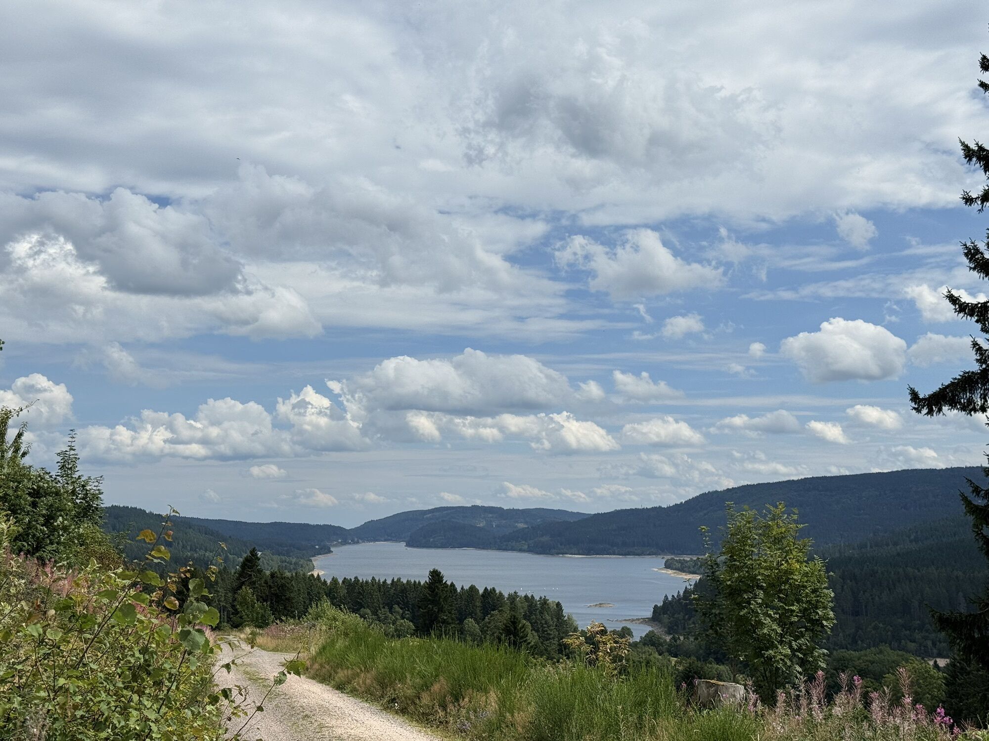
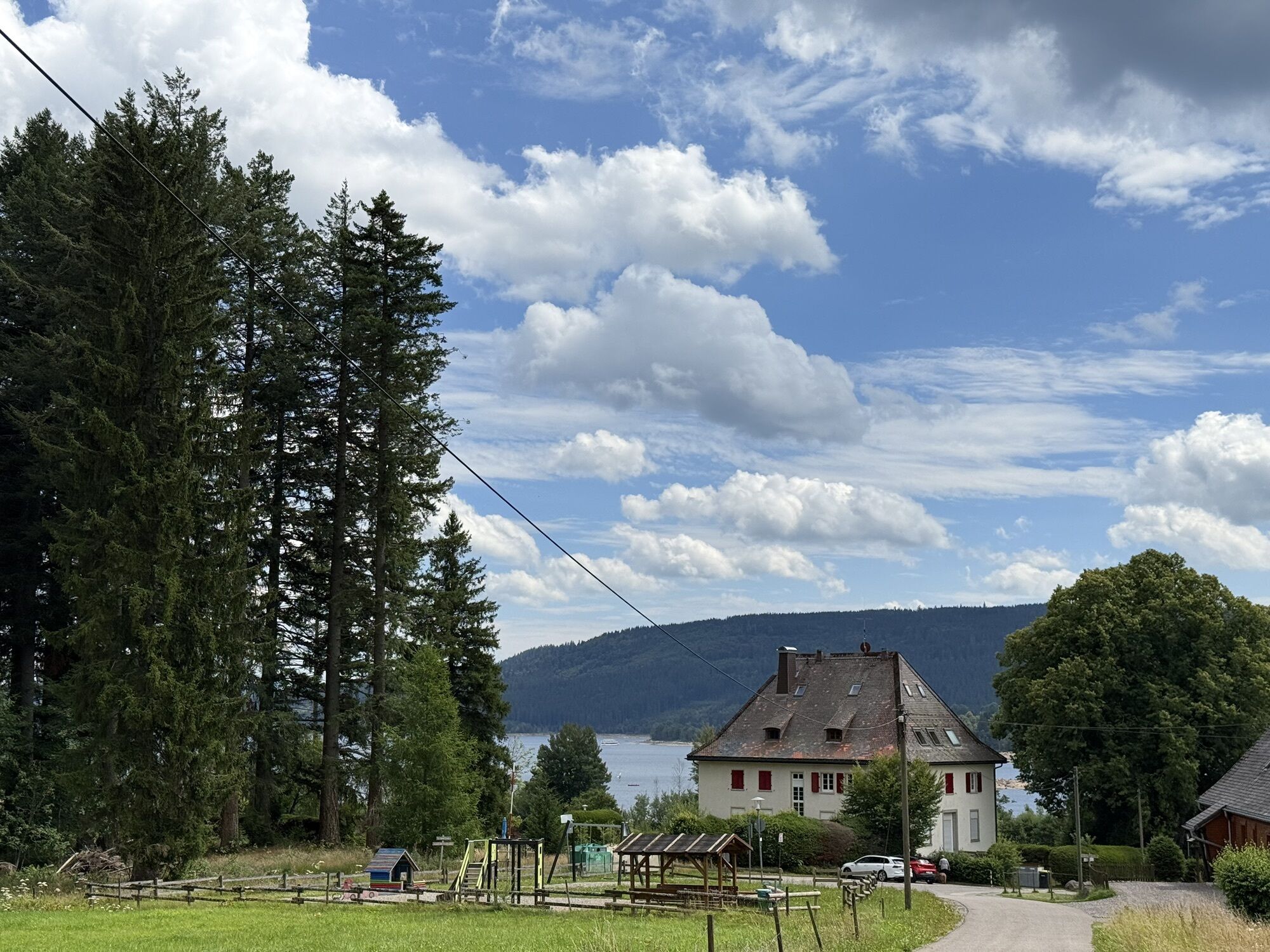
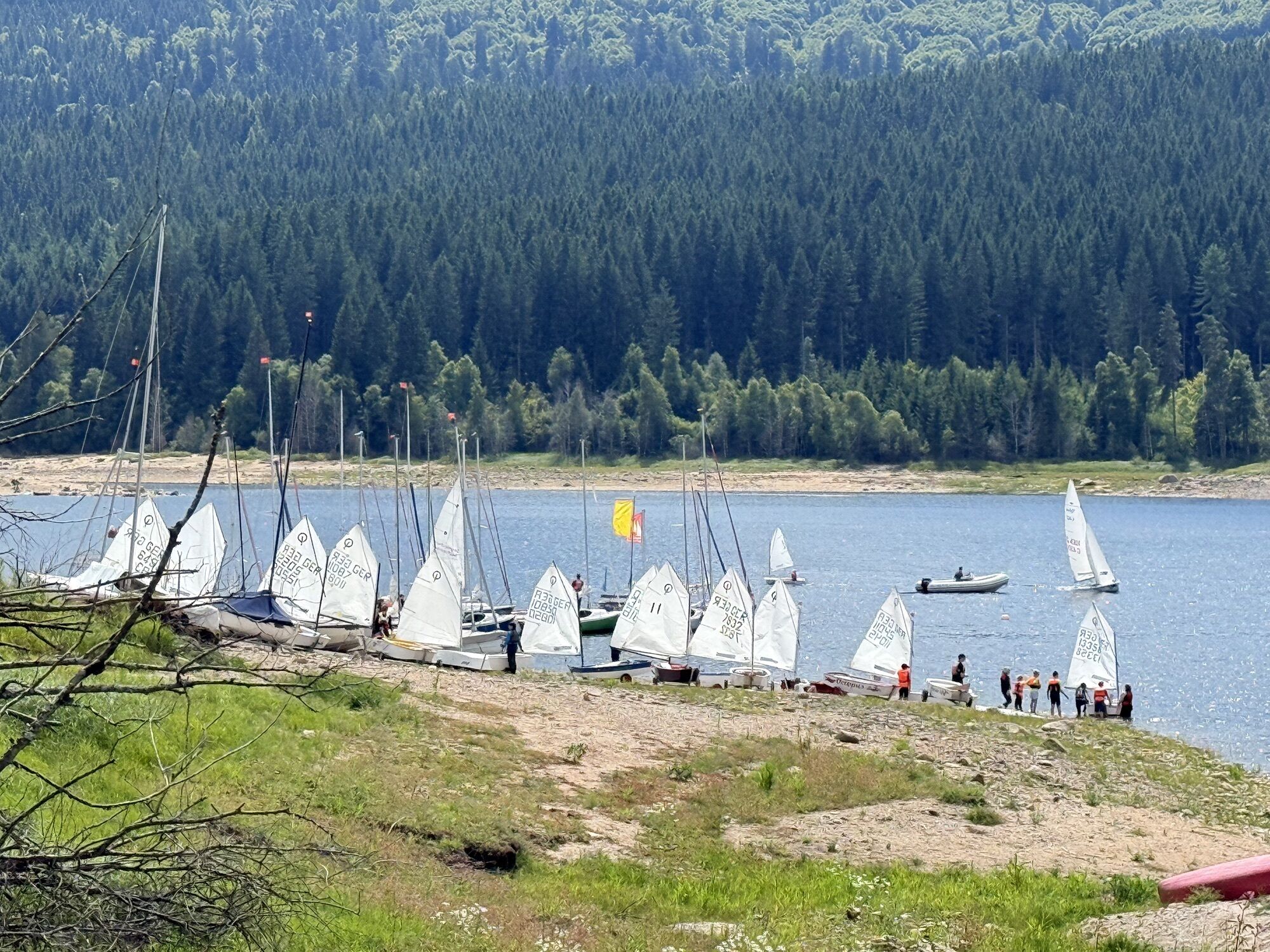
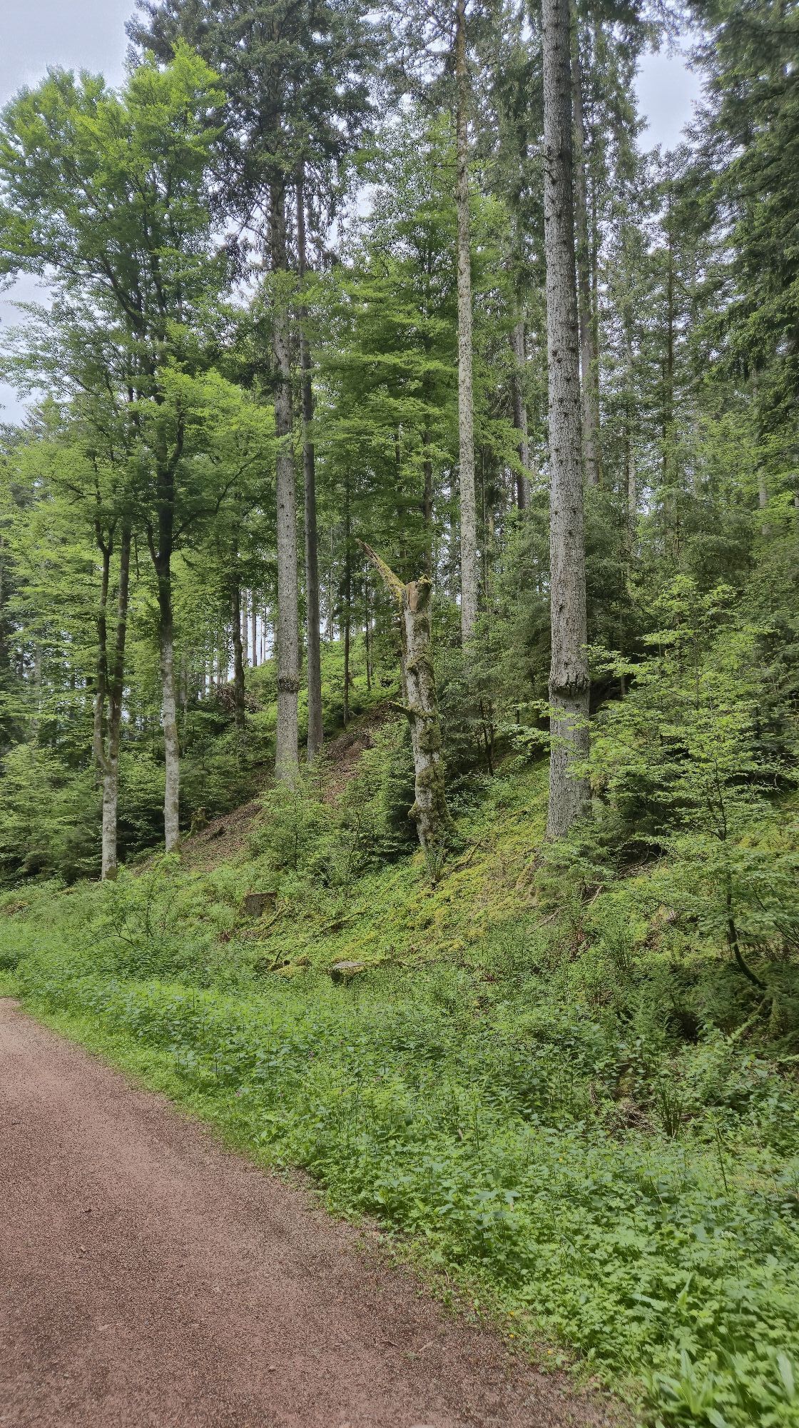
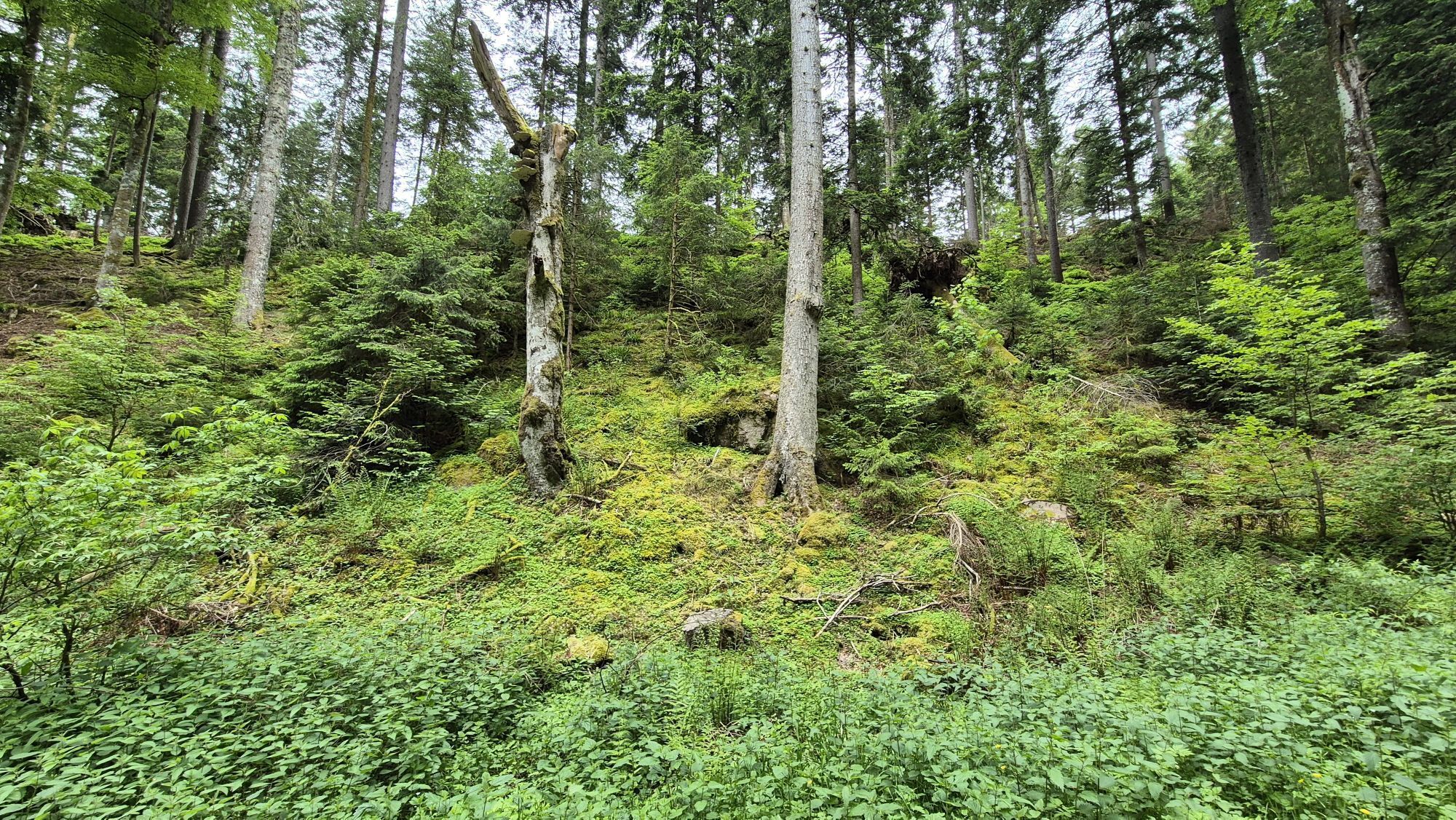
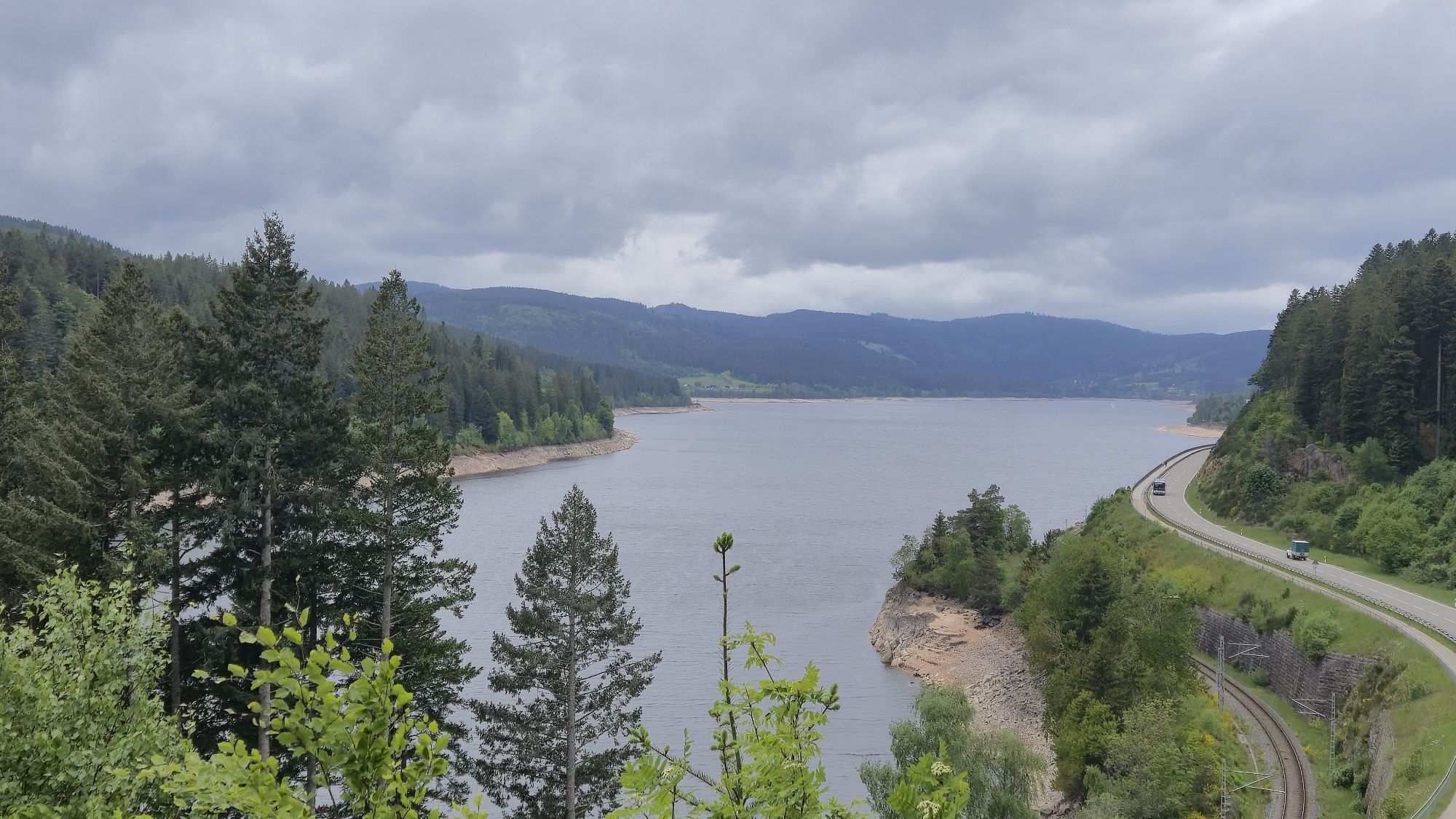
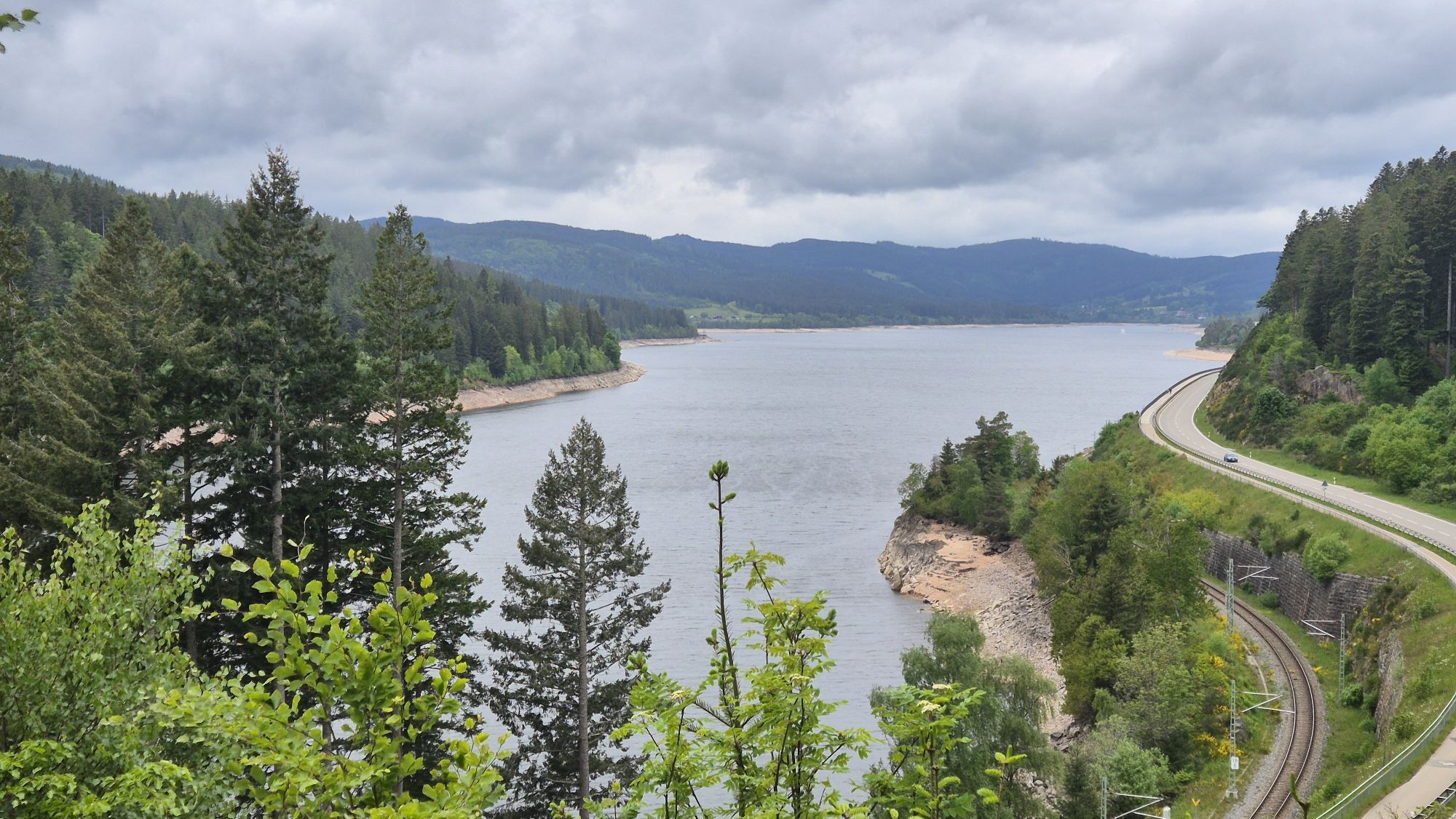
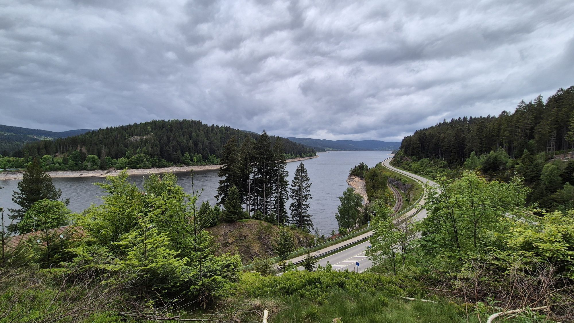
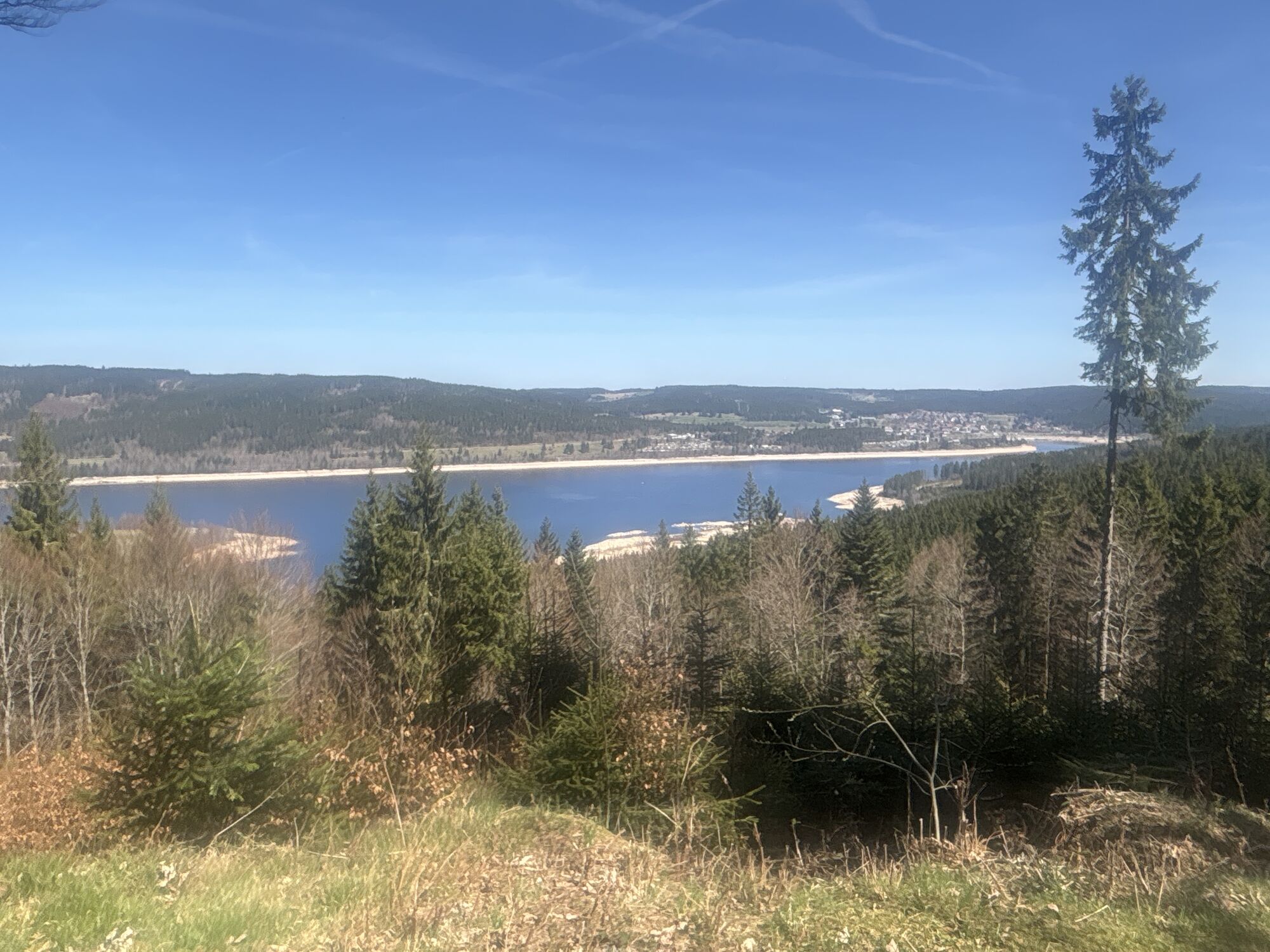
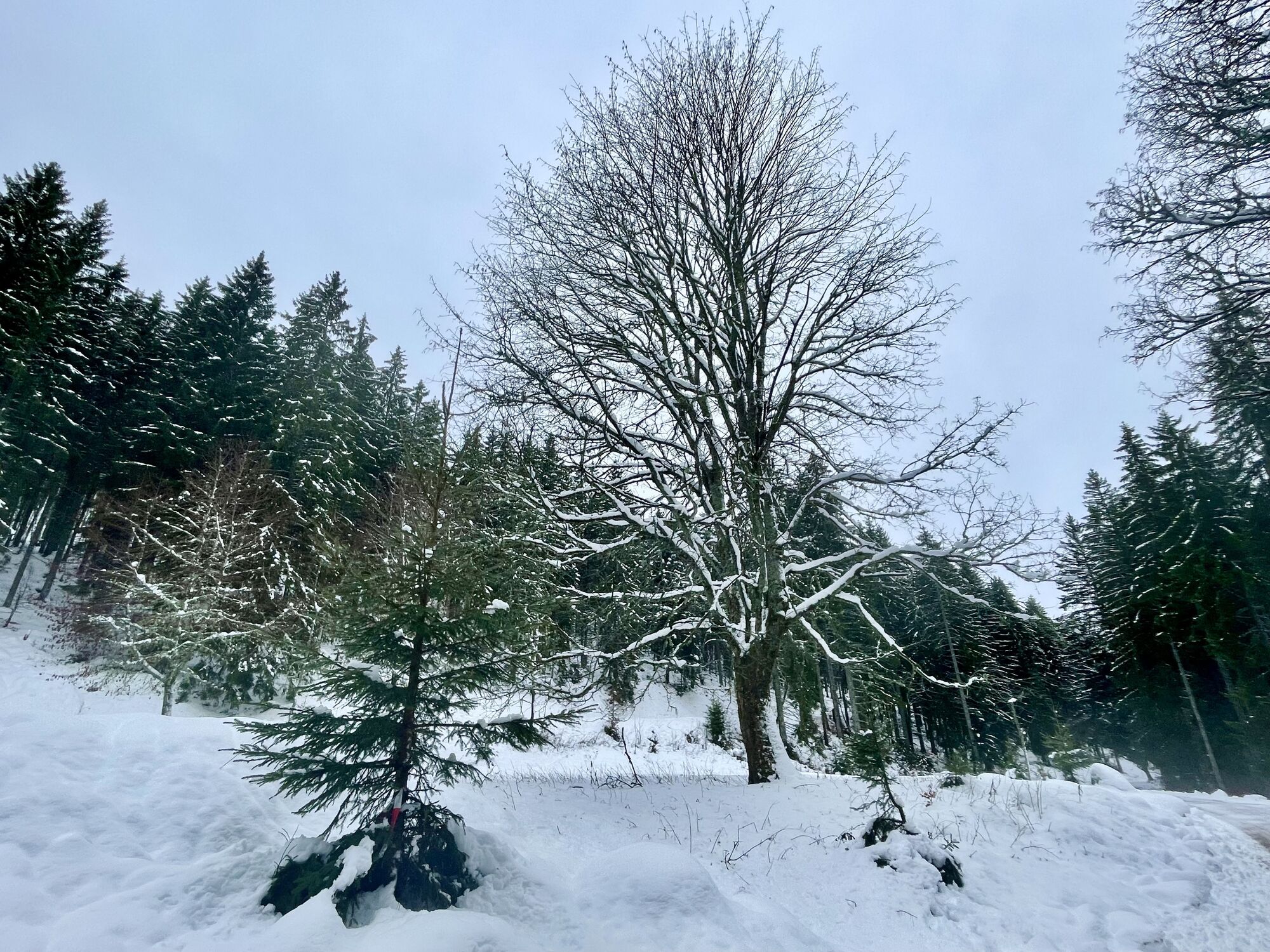
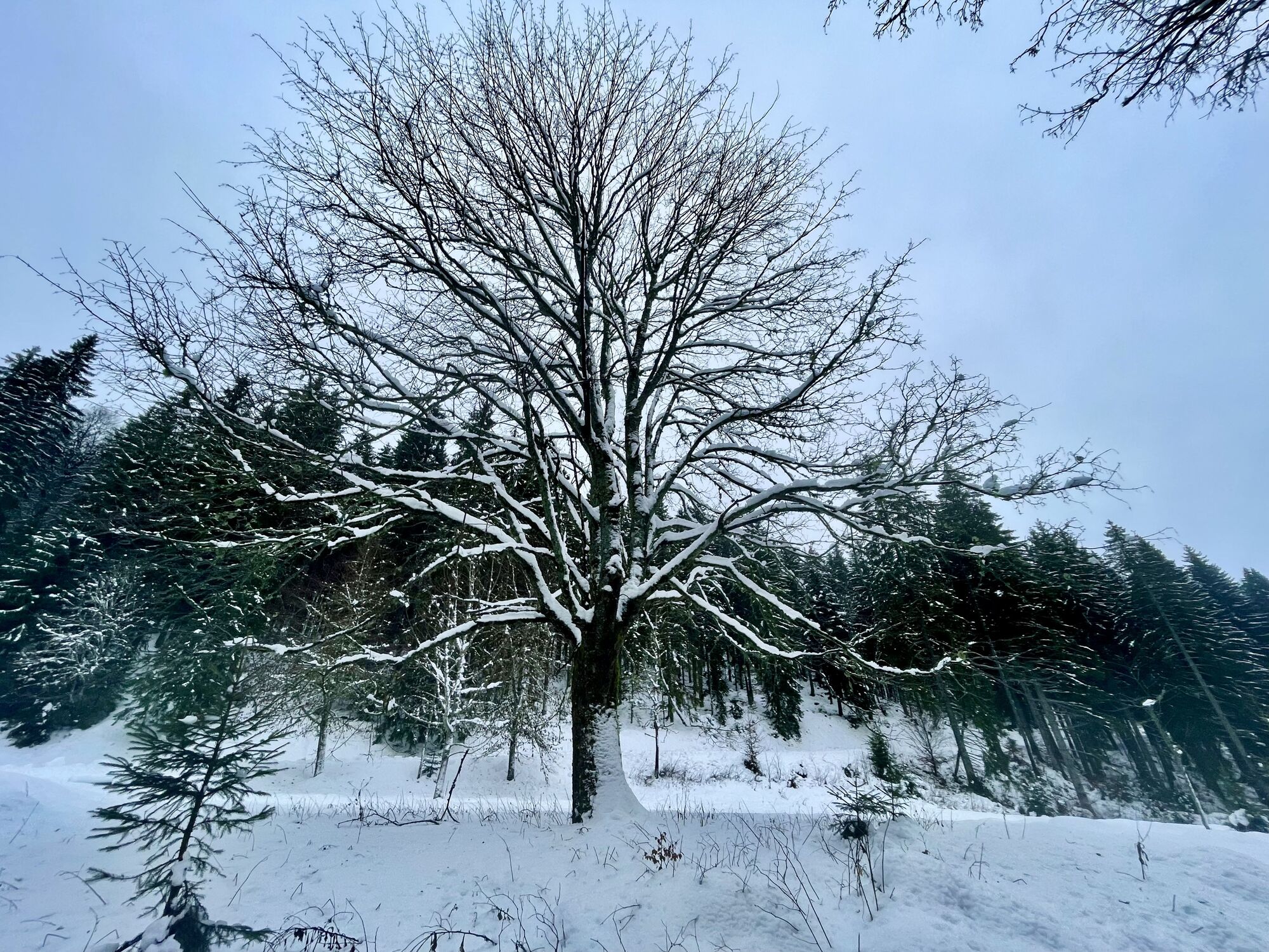
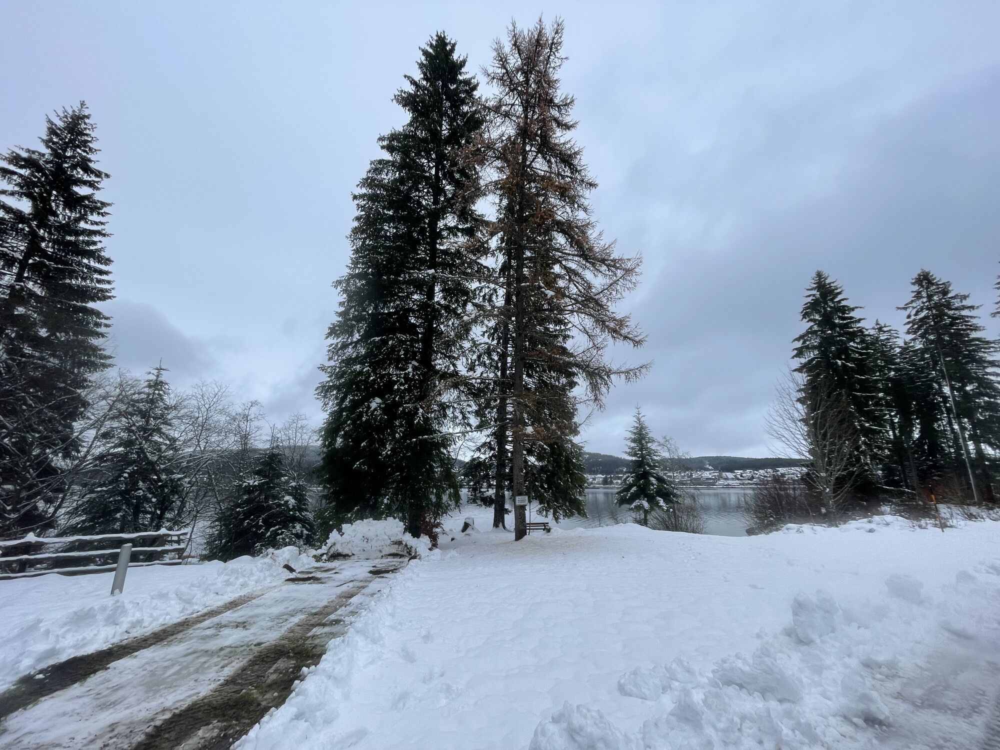

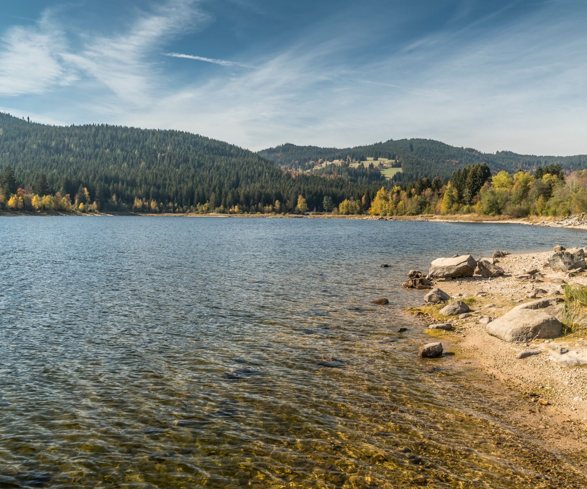
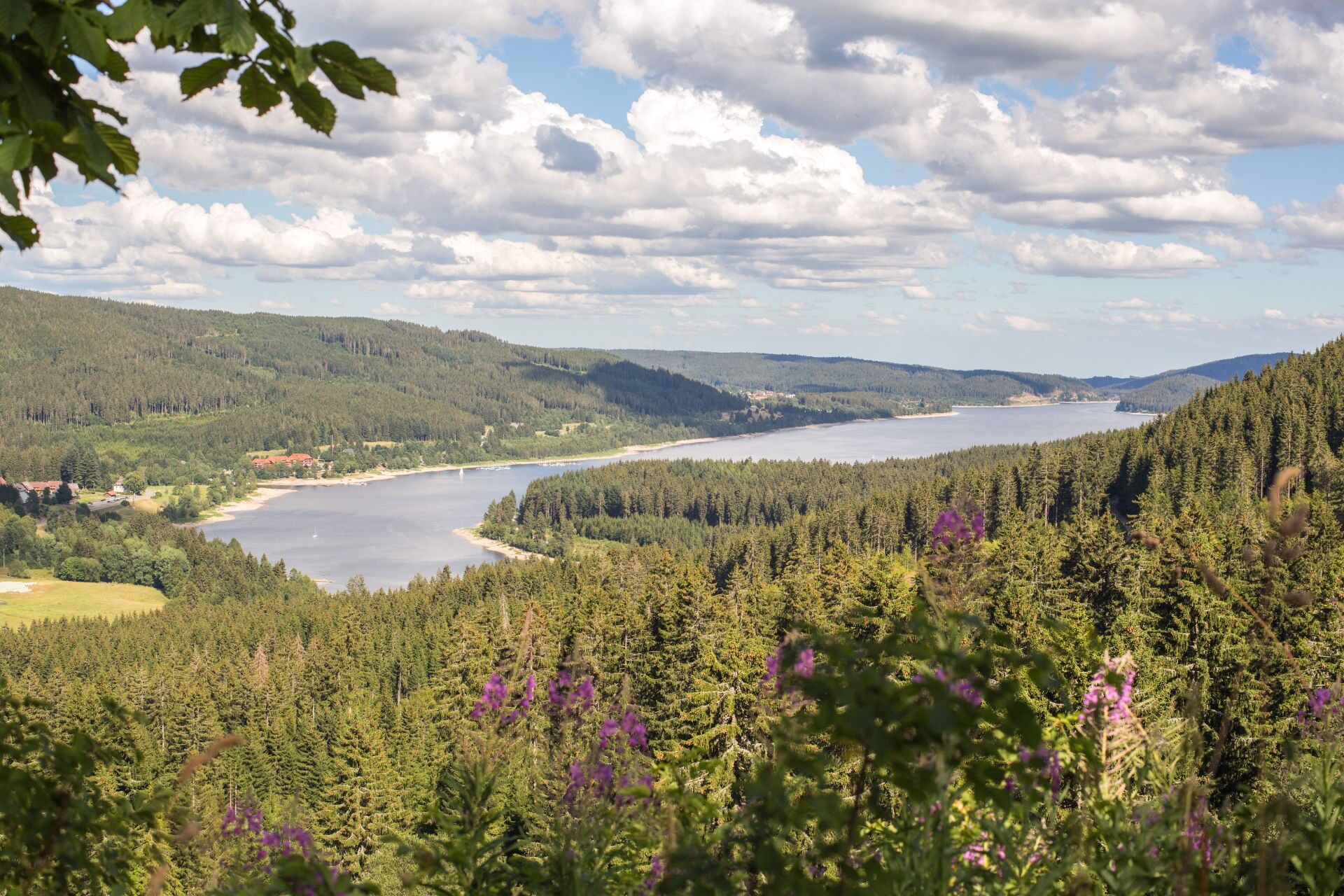
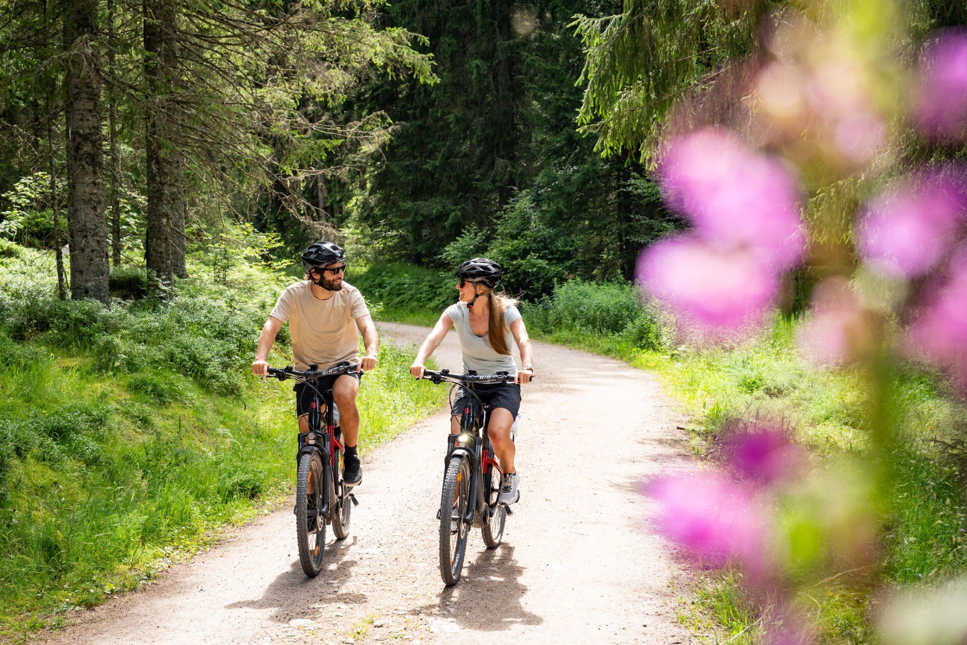
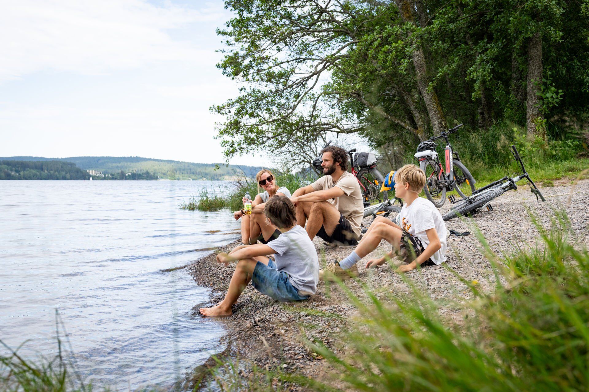
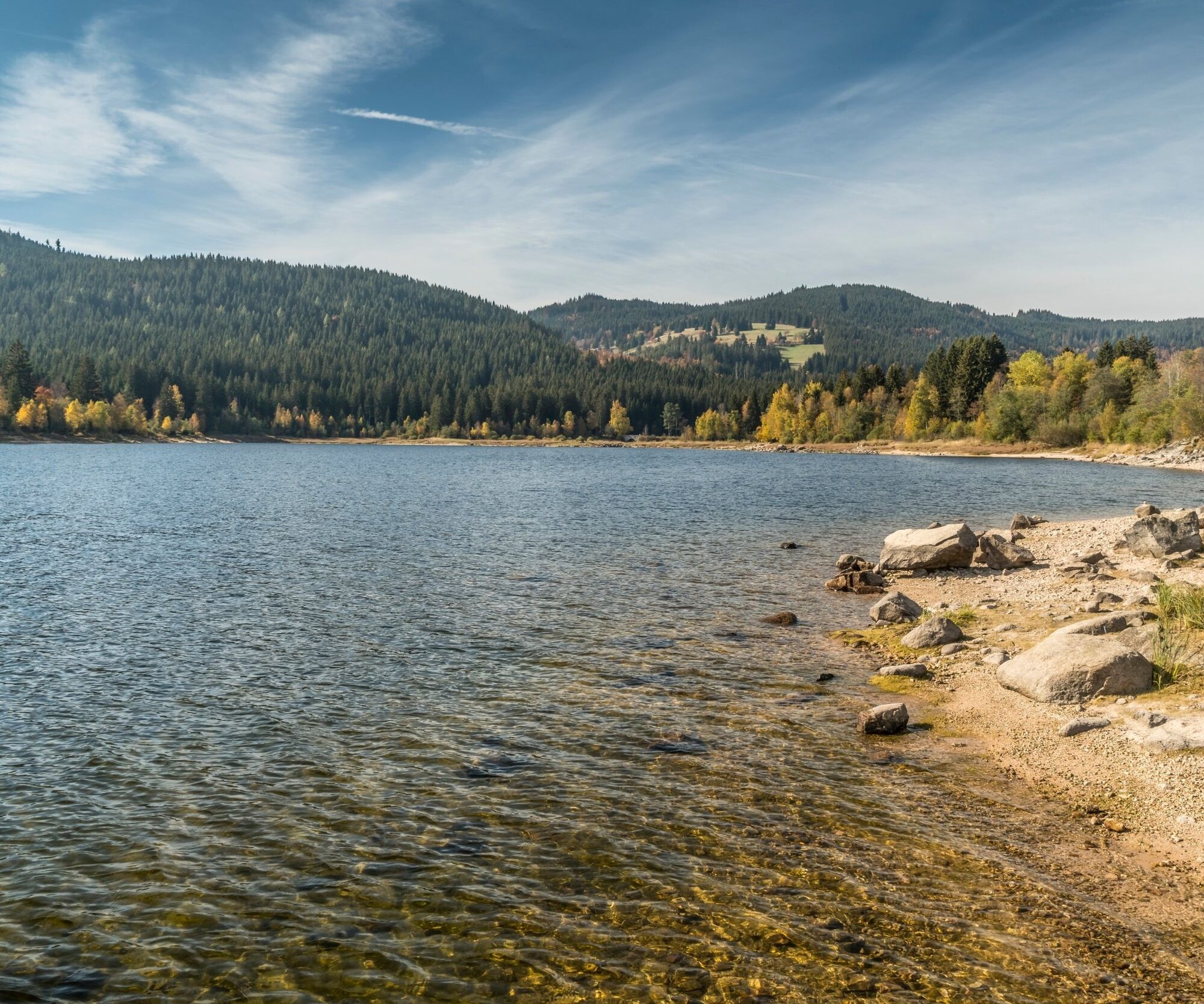

Before the Kurhaus Schluchsee, follow the road downhill and turn left into Faulenfürster Straße in the direction of Faulenfürst. Shortly afterwards, turn right into the forest, through which you will reach Seebrugg. From there, follow the footpath and cycle path along the Schluchsee for a short distance until you reach the dam wall, which you then cross.
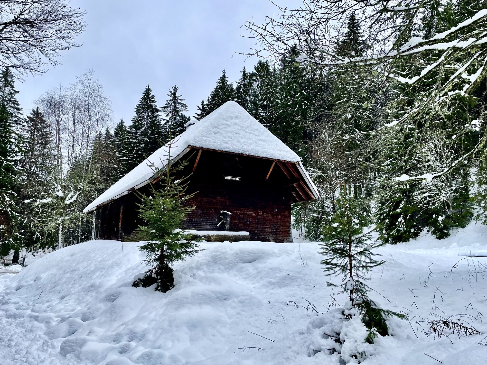
After the dam wall, turn left towards Blasiwald/Eisenbreche. Immediately turn right again and follow the path along the Unterkrummenweg to the Kohlhütte. From there, turn left uphill via Kohlweg, Oberkrummenweg and past the Lachenhütte. Follow the Harztannenweg, past the Roßhütte via the Roßhüttenweg to the Aeulemer Kreuz.
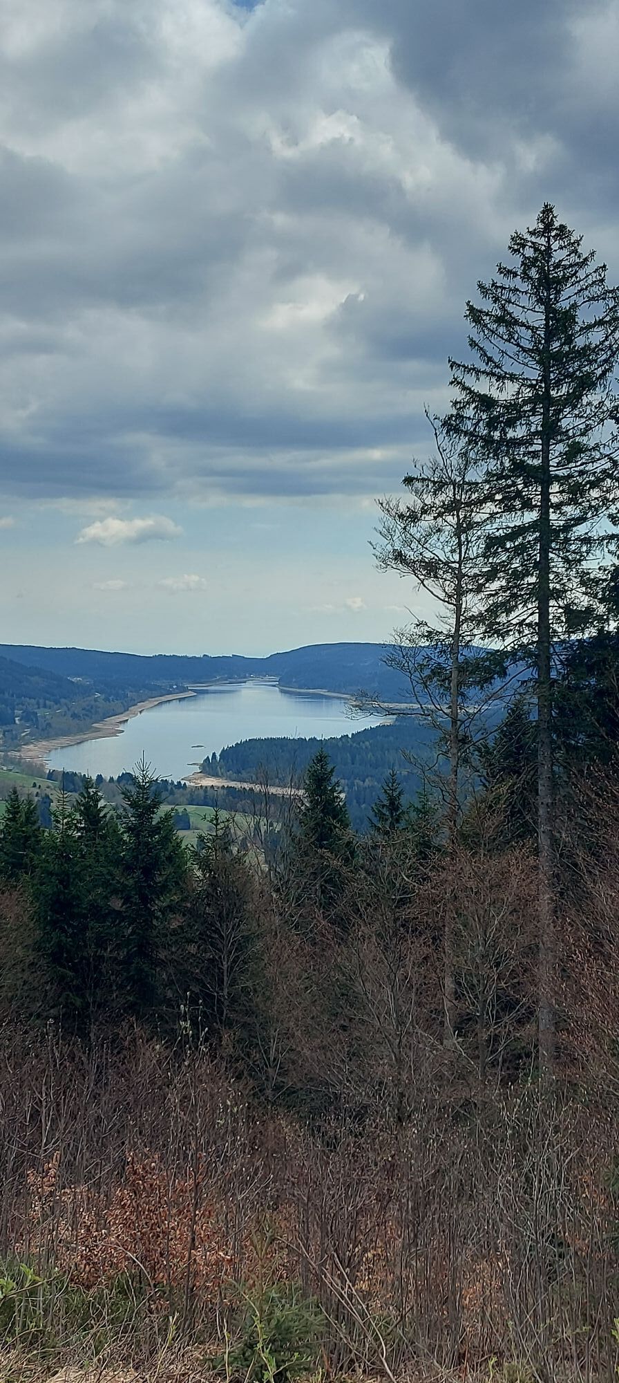
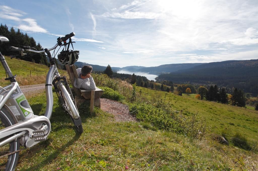
Once you reach the Aeulemer Kreuz, cross the road and take the Silberfelsenweg past the Kapellenkopfhütte to the highest point of your tour, the Farnwitte (1237m). Follow the Lachenrüttenweg down to Aha. On the last stretch, you have a marvellous view of the lake Schluchsee again and again.
Áno
From Freiburg:
B31 direction Neustadt, exit B317/B500 direction Basel/Feldberg/Waldshut-Tiengen/Schluchsee/Lenzkirch, on B500 direction Schluchsee/Altglashütten.
From Donaueschingen:
B31 direction Neustadt, exit B317/B500 direction Basel/Feldberg/Waldshut-Tiengen/Schluchsee/Lenzkirch, onto B500 direction Schluchsee/Altglashütten.
From Lörrach:
B317 in the direction of Donaueschingen via Zell i.W./Todtnau/Feldberg, onto the B500 in the direction of Schluchsee/Altglashütten.
From Freiburg:
Take the 728 train in the direction of Seebrugg, exit at Schluchsee railway station.
From Donaueschingen:
Take the 727 train in the direction of Neustadt (Schwarzw), continue on the 727 train in the direction of Freiburg, get off at Titisee, from Titisee continue on the 728 train to Schluchsee station.
From Lörrach:
Take the train from Lörrach to Basel Bad BF, change to the ICE to Freiburg. Take the 728 train in the direction of Seebrugg, get off at Schluchsee station.
Kurhaus Schluchsee, Fischbacher Str. 7, 79859 Schluchsee oder Schluchseehalle, Faulenfürster Str. 12, 79859 Schluchsee
3
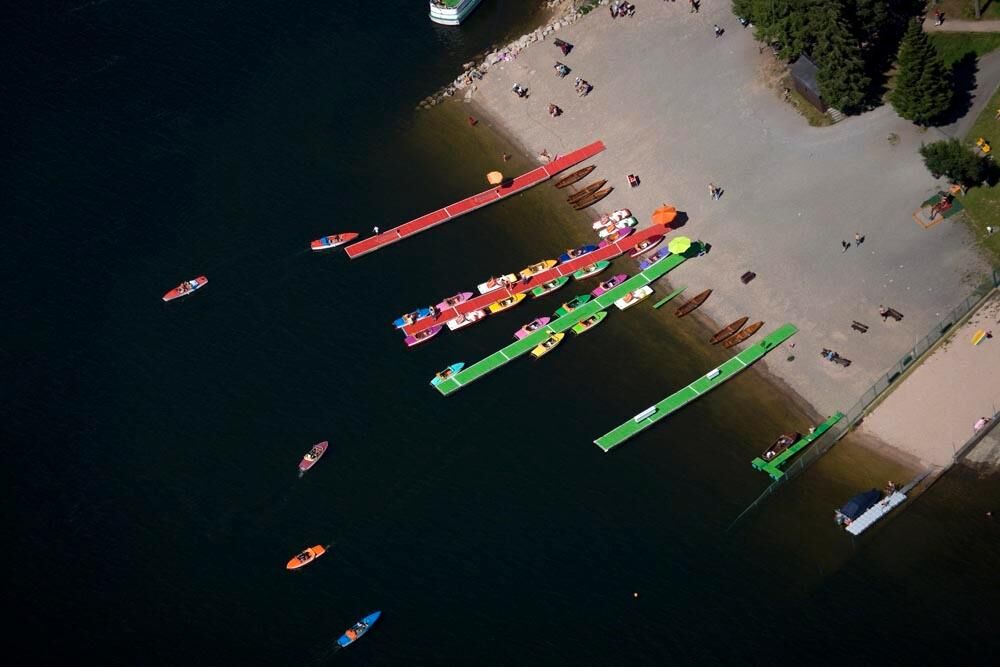
For all cyclists who like to start a tour in comfort, the trip on the Nikolaus steamer to the dam is the perfect way to begin. Bicycles and e-bikes can be hired at the dam.

Webové kamery z prehliadky
-
Feldbergturm Seebuck Gipfel
-
Feldberg - Falkau
-
Feldberg - Grafenmatt I
-
Seebuck Bergstation
-
Seebuck Talstation
-
Schluchsee - Wiesengrundpark
-
Feldberg - Opelhaus
-
Menzenschwander Hütte - Feldberg
-
Menzenschwand Hinterdorf
-
Bergstation Mösle - Menzenschwand
-
Skilift Schwinbach - Menzenschwand
-
Skilift Rehbach - Menzenschwand
-
Menzenschwander Hütte - Feldberg
-
Todtnauer Hütte
-
Feldberg - Altglashütten
-
Rothaus - Brauerei
-
Rothaus - Sudhaus
-
Rothaus - Biergarten



Obľúbené výlety v okolí
-
4,7
Black Forest Highlands heritage trail - mills and saws in the gorge
strednáTuristika 7,42 km -
3,9
Seerundweg Titisee
svetloTuristika 5,84 km -
4,2
Höhenklimaweg Titisee-Rundweg
strednáTuristika 7,44 km -
4,4
Ravennaschlucht
Turistika 6,90 km -
3,9
From Titisee to the Hochfirst with its stunning views
strednáTuristika 10,6 km -
4,8
Sonnenaufgang und Feldbergsteig
strednáTuristika 11,6 km -
4,9
Todtmoos – Wanderung: Genießerpfad Lebküchlerweg
strednáTuristika 12,8 km -
3,7
Premium Hiking Trail- Säbelthomaweg
strednáTematická trasa 11,3 km -
4,7
Premium Hiking Trail - Rötenbach Gorge
strednáTematická trasa 10,1 km -
4,7
Premium Hiking Trail - Menzenschwander Geißenpfad
strednáTematická trasa 9,78 km

Turistika a stopovanie


Nenechajte si ujsť ponuky a inšpiráciu na ďalšiu dovolenku
Vaša e-mailová adresa bol pridaný do poštového zoznamu.





