


Enztal cycle route: Stage 1
Úroveň náročnosti: 1
Along the longest left tributary of the Neckar – the Enz – the leisurely cycling trip offers diverse landscapes. From the deep Black Forest over the gold city Pforzheim, through idyllic half-timbered villages...
Along the longest left tributary of the Neckar – the Enz – the leisurely cycling trip offers diverse landscapes. From the deep Black Forest over the gold city Pforzheim, through idyllic half-timbered villages and vineyards on the steep slopes of the lower Enz.
For all those who want to experience the Northern Black Forest and Kraichgau-Stromberg regions a little longer, it is worthwhile to split the Enztal cycle path into two stages. This leaves enough time to thoroughly enjoy the highlights alongside the route.
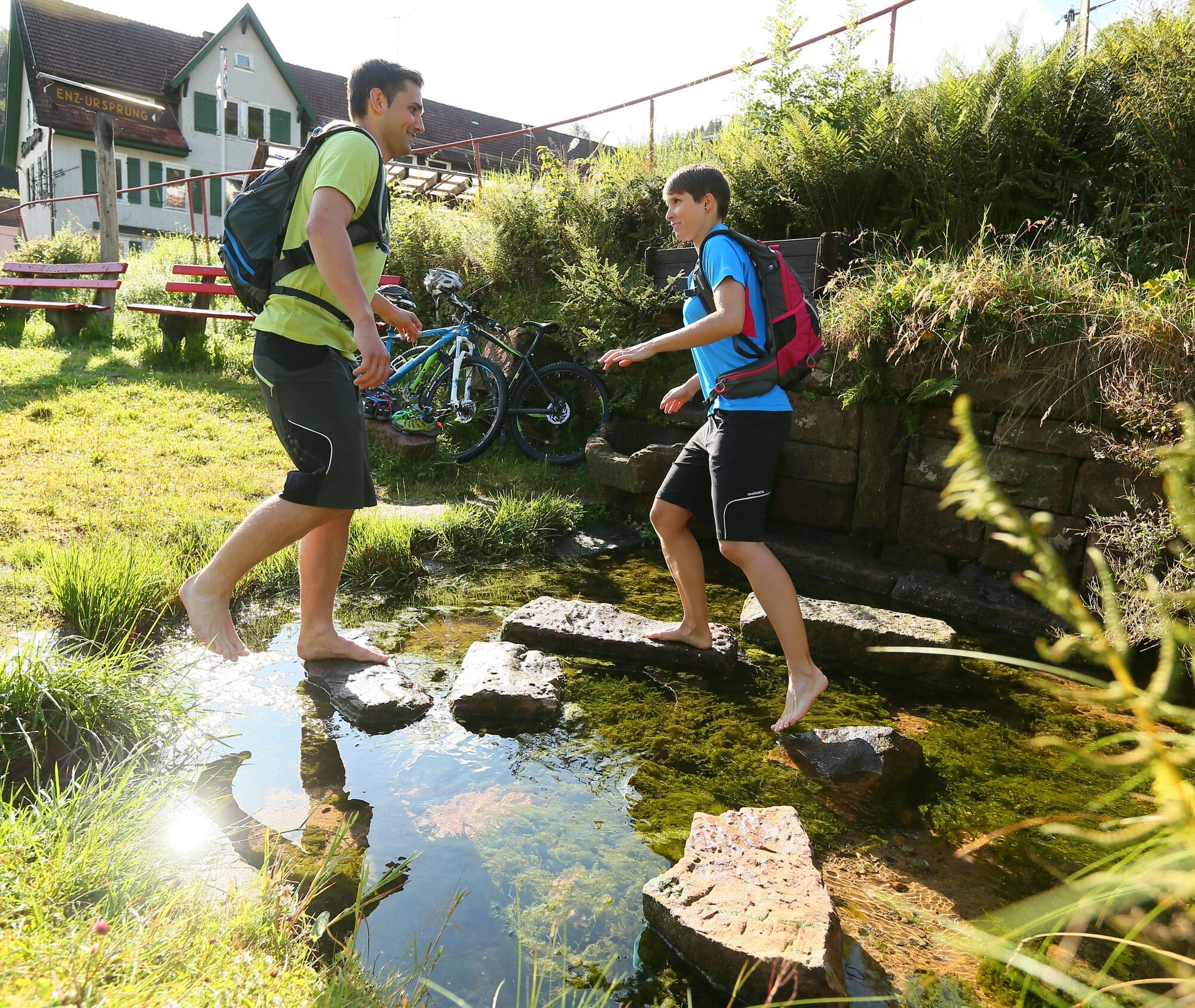
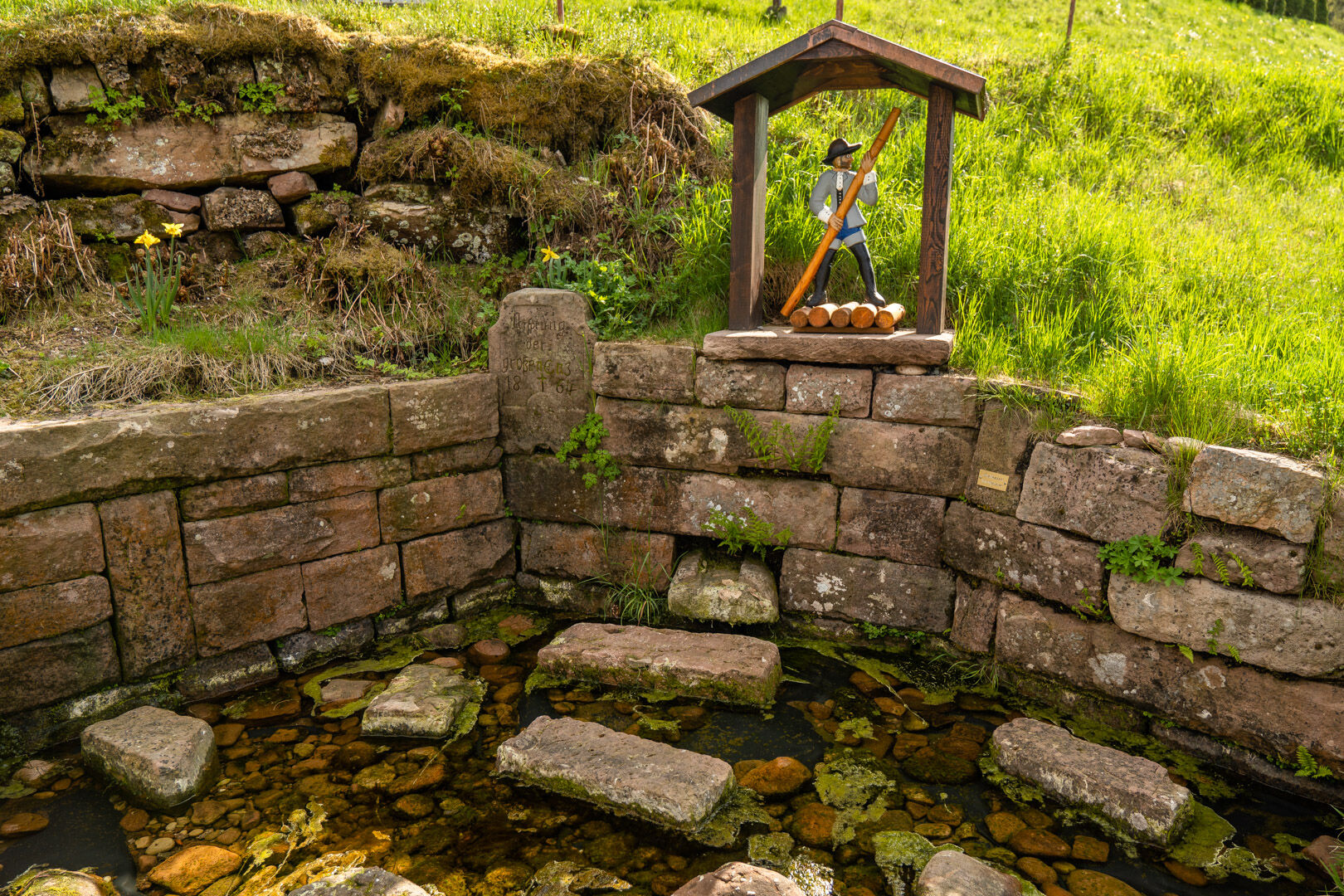
The first stage starts deep in the Enz valley – at the source of the Enz in Gompelscheuer – and leads continuously towards the gold city Pforzheim. In the Northern Black Forest, the places Enzklösterle, Bad Wildbad, Höfen an der Enz, Neuenbürg and Brötzingen are cycled through until Pforzheim is reached, marking the end of the first stage.
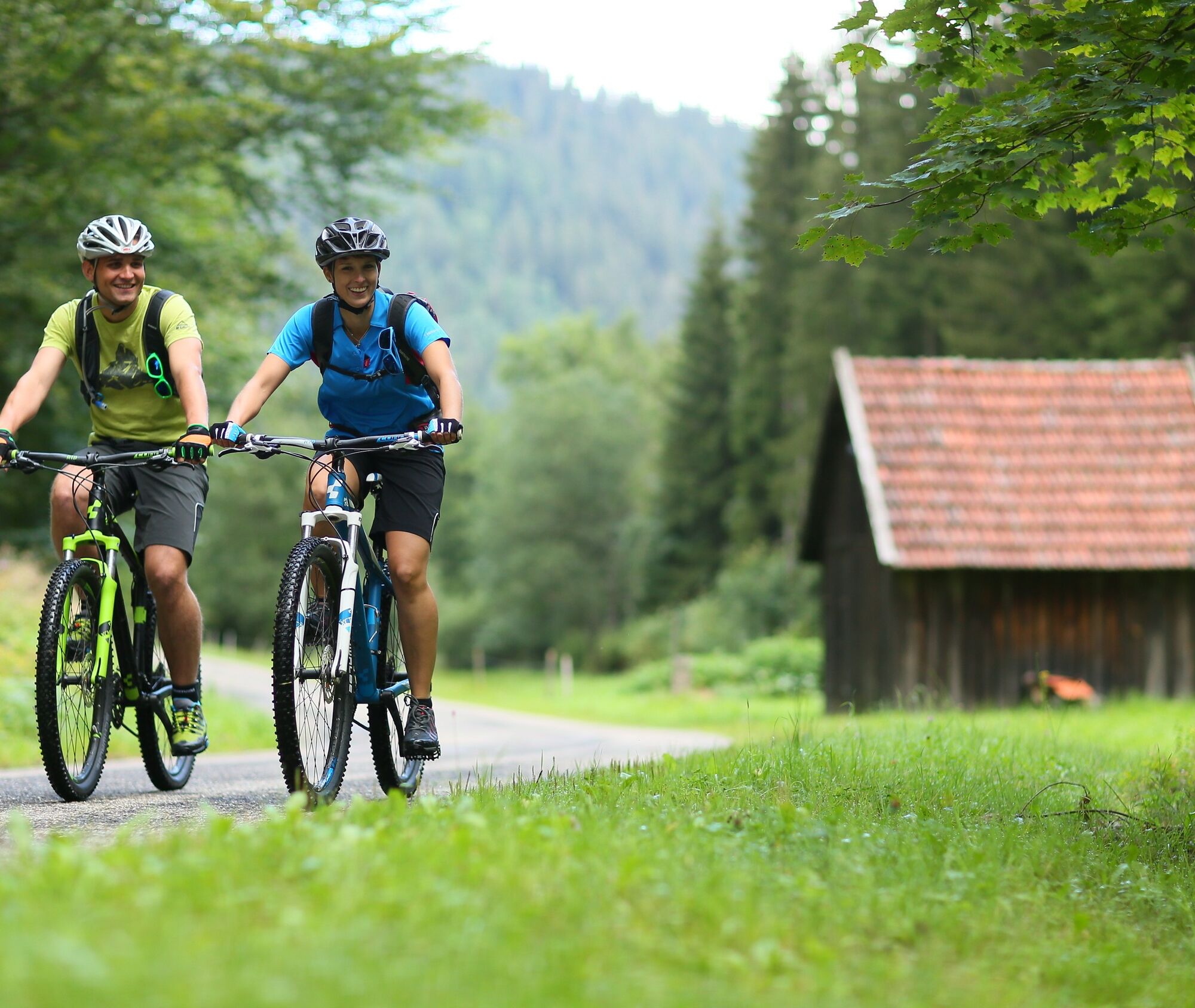
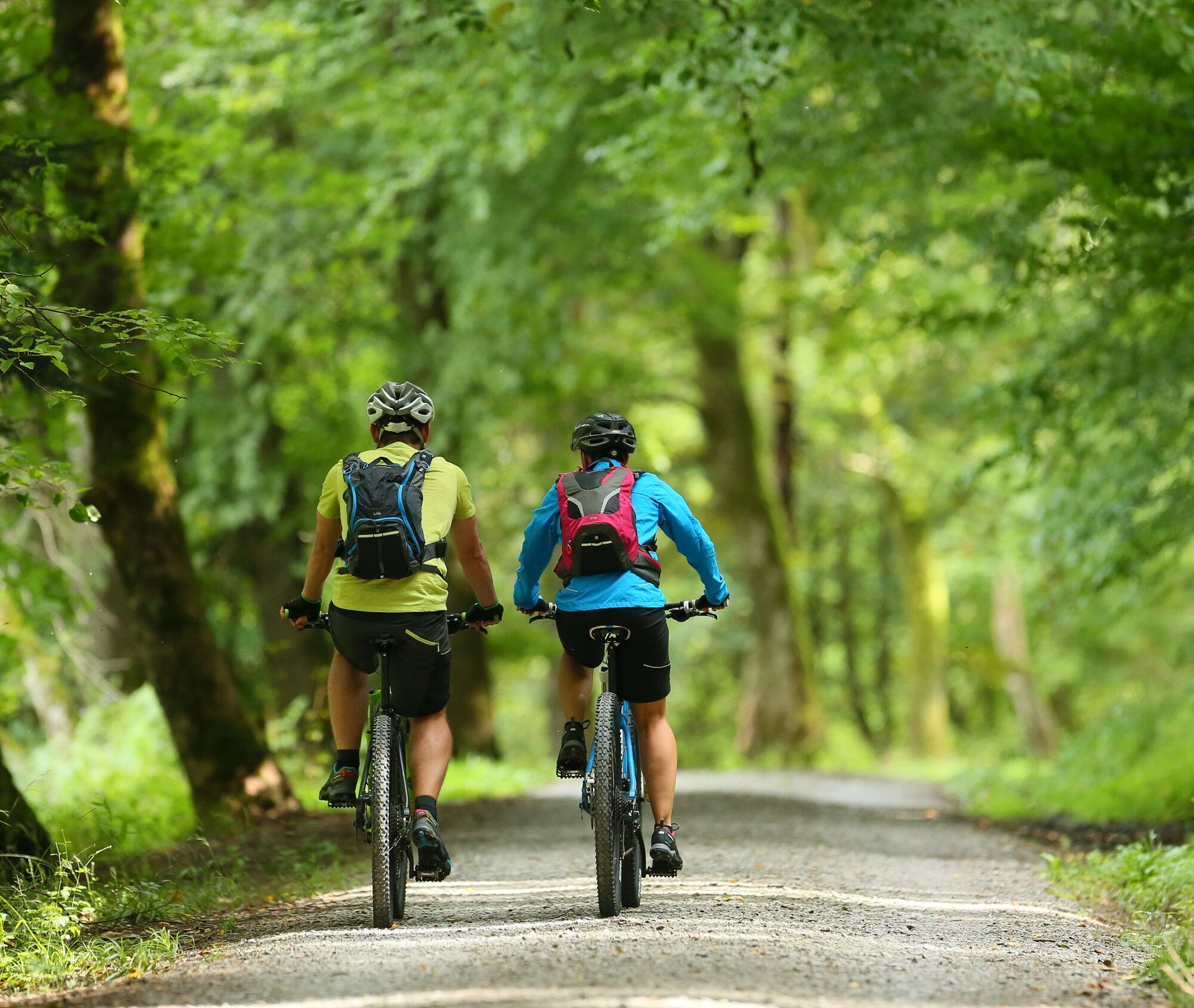
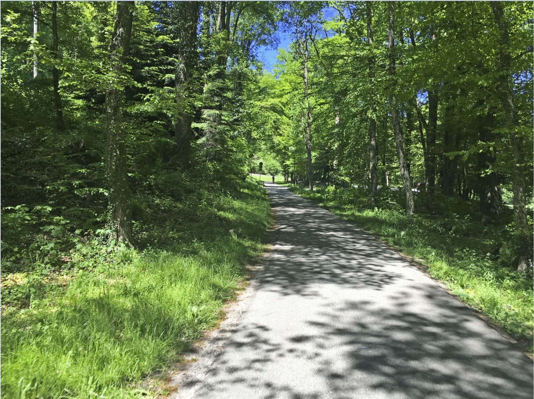
The continuously signposted cycling route, over 100 km long, leads from the Enz source in the Black Forest near Enzklösterle to the Enz mouth in the lovely Neckar valley in the wine town of Walheim. The route is mostly manageable for everyone without steep climbs. A well-maintained touring or mountain bike is recommended, some bike path sections are gravelled.
Our route description follows the course of the Enz River: downstream from the starting point Enzklösterle to the endpoint in Walheim. Of course, the route can also be cycled in the opposite direction and from any of the towns along the way.
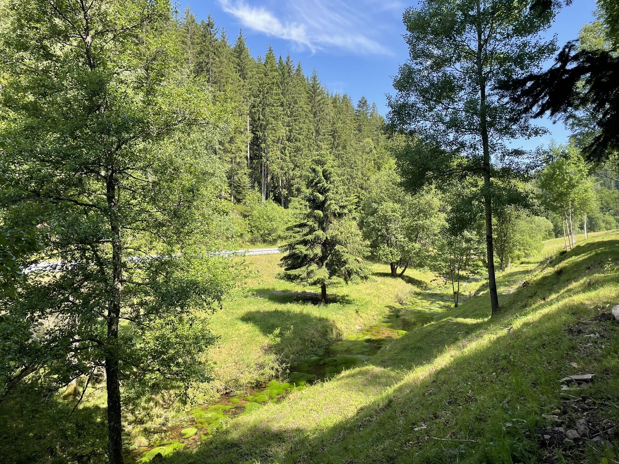
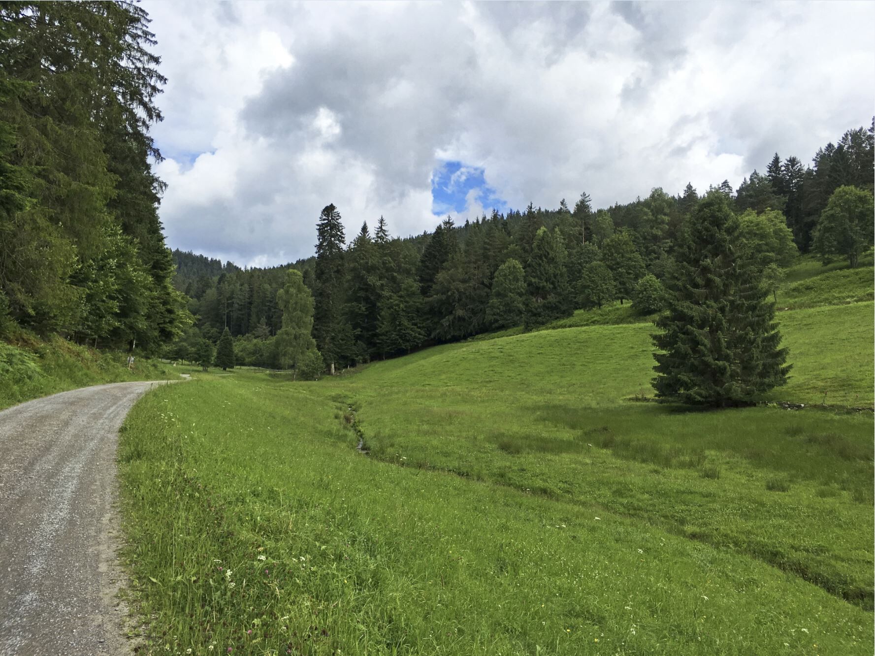
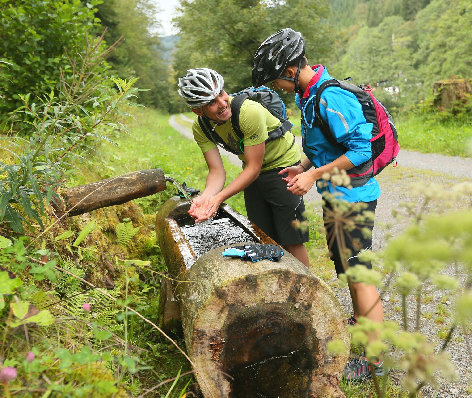
Enzklösterle - Bad Wildbad >> 20 km >> In Enzklösterle, at the source of the Enz, set off downstream towards the town center. A trout farm (refreshments and sales) is located directly on the way. After Enzklösterle, continue on the left side of the still small river towards Bad Wildbad. The cycle path between Enzklösterle and Bad Wildbad runs wonderfully beautiful through coniferous forests along the hillside. Please observe any detours around the timber storage areas.
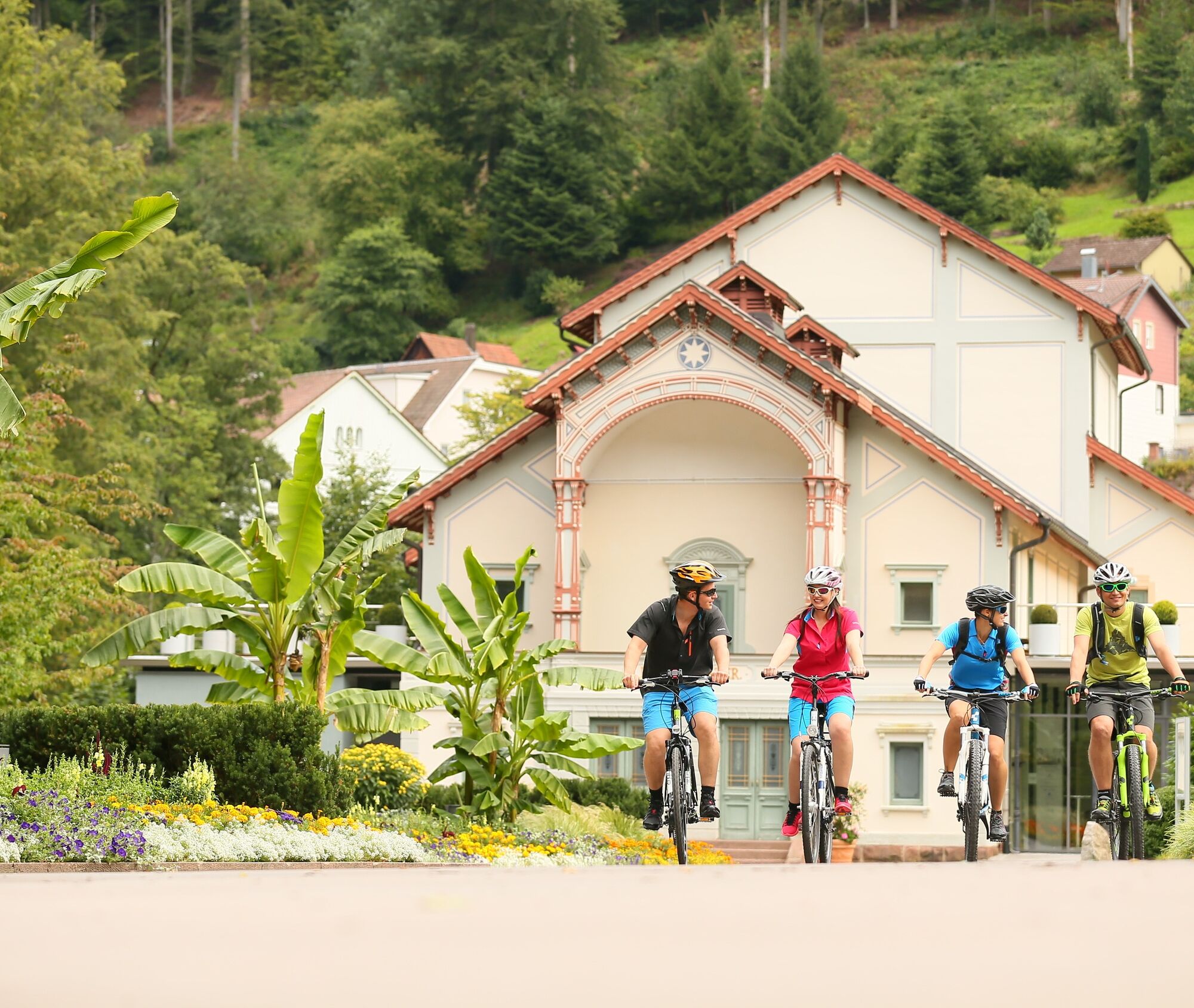
Bad Wildbad - Höfen >> 9 km >> Along the spa park you reach the royally wild old town of Bad Wildbad. It is worth getting off the bike here to explore the various facets and attractions of Bad Wildbad. Several restaurateurs also invite you to take a break. The path then continues through the pedestrian zone over a roundabout into Rennbachstraße and then into Paulinenstraße. On a small street parallel to the railway line, you reach the idyllic village of Höfen via the 5-valley village Calmbach. Benches invite you to rest at various points along the way.
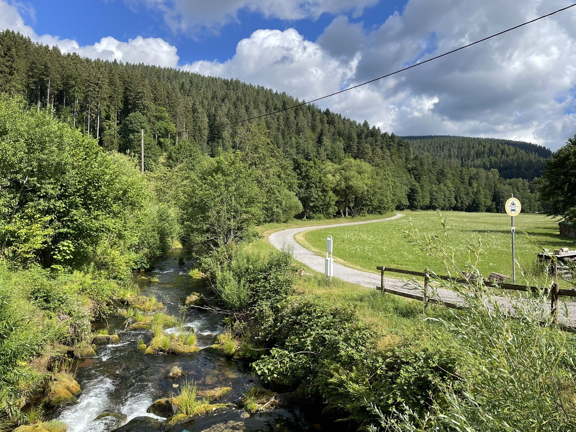
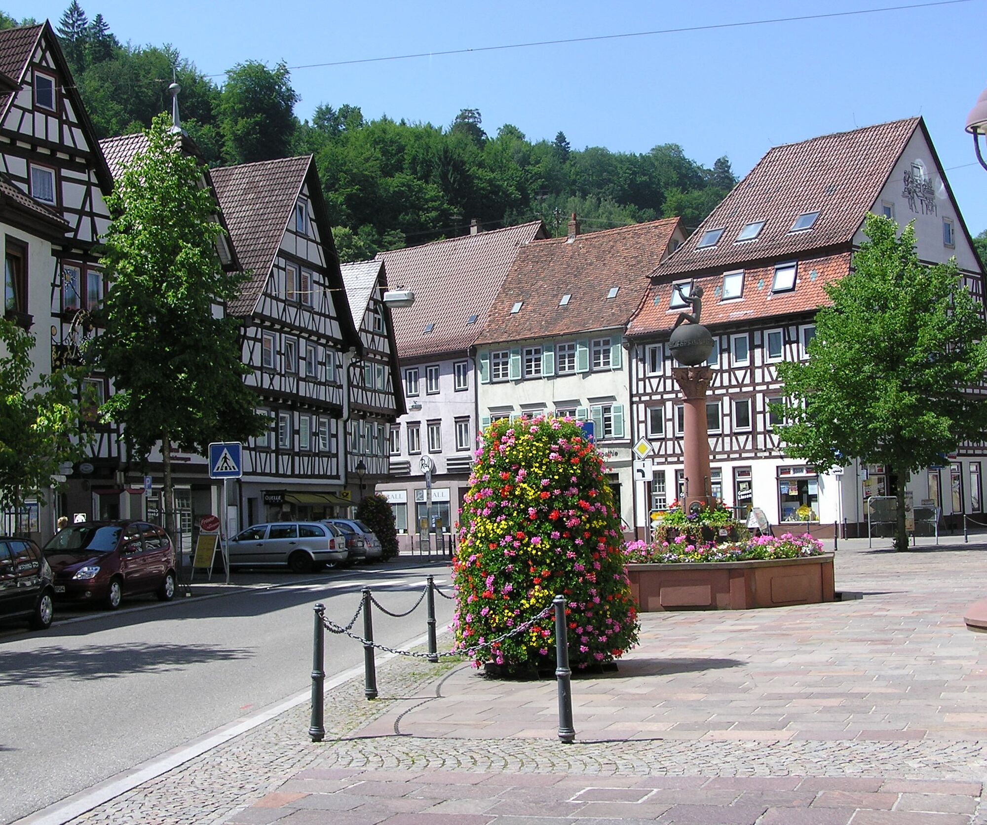
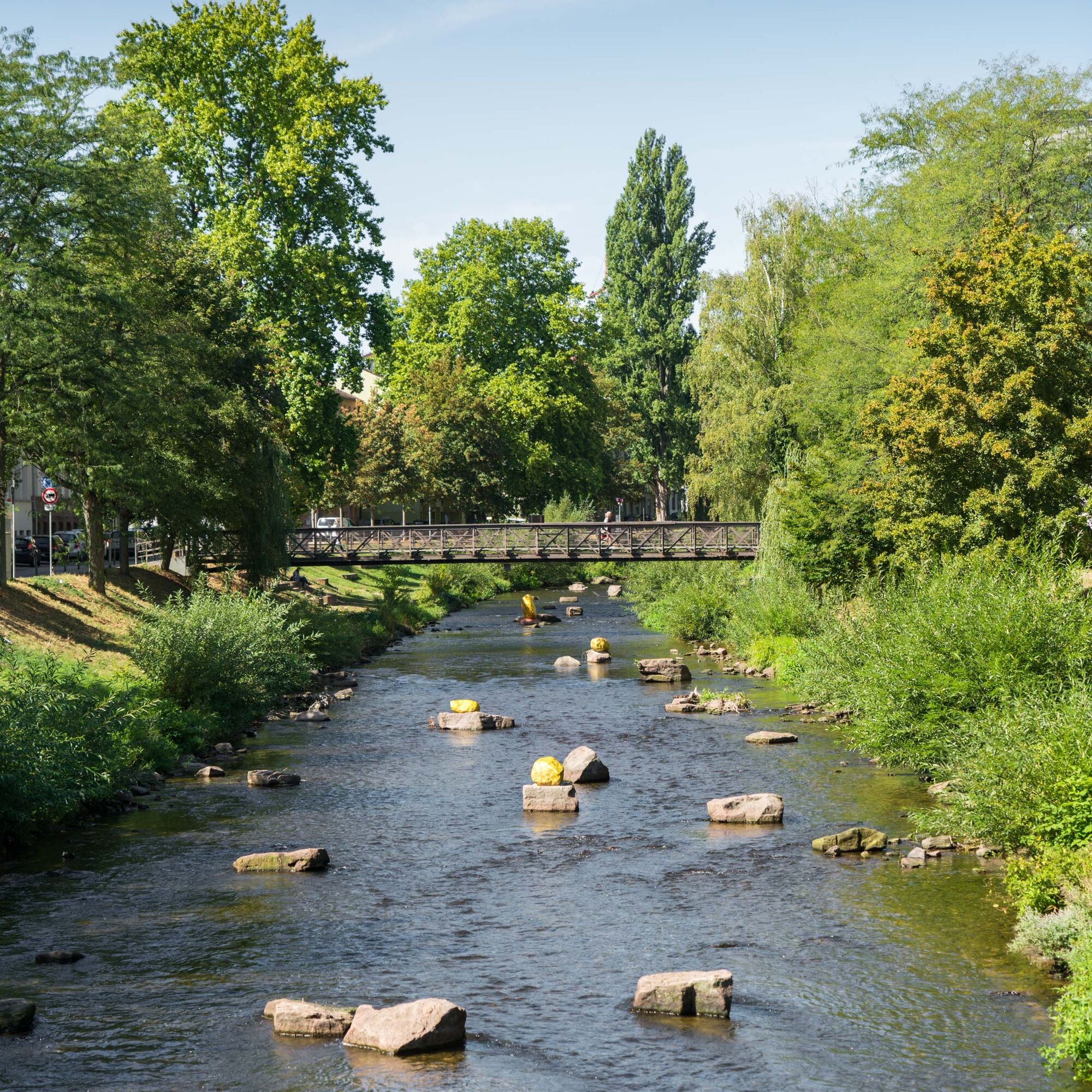
Höfen - Neuenbürg >> 8 km >> Continue towards Neuenbürg. At a dam, there is a great view of the Enz. In Neuenbürg, the path leads along the "rushing brook" through small alleys and offers a glimpse of interesting gems of the old town.
Neuenbürg - Birkenfeld >> 7 km >> Experience "pure nature" on the next stage. Surrounded by mixed forests, the Enz flows here in its natural bed.
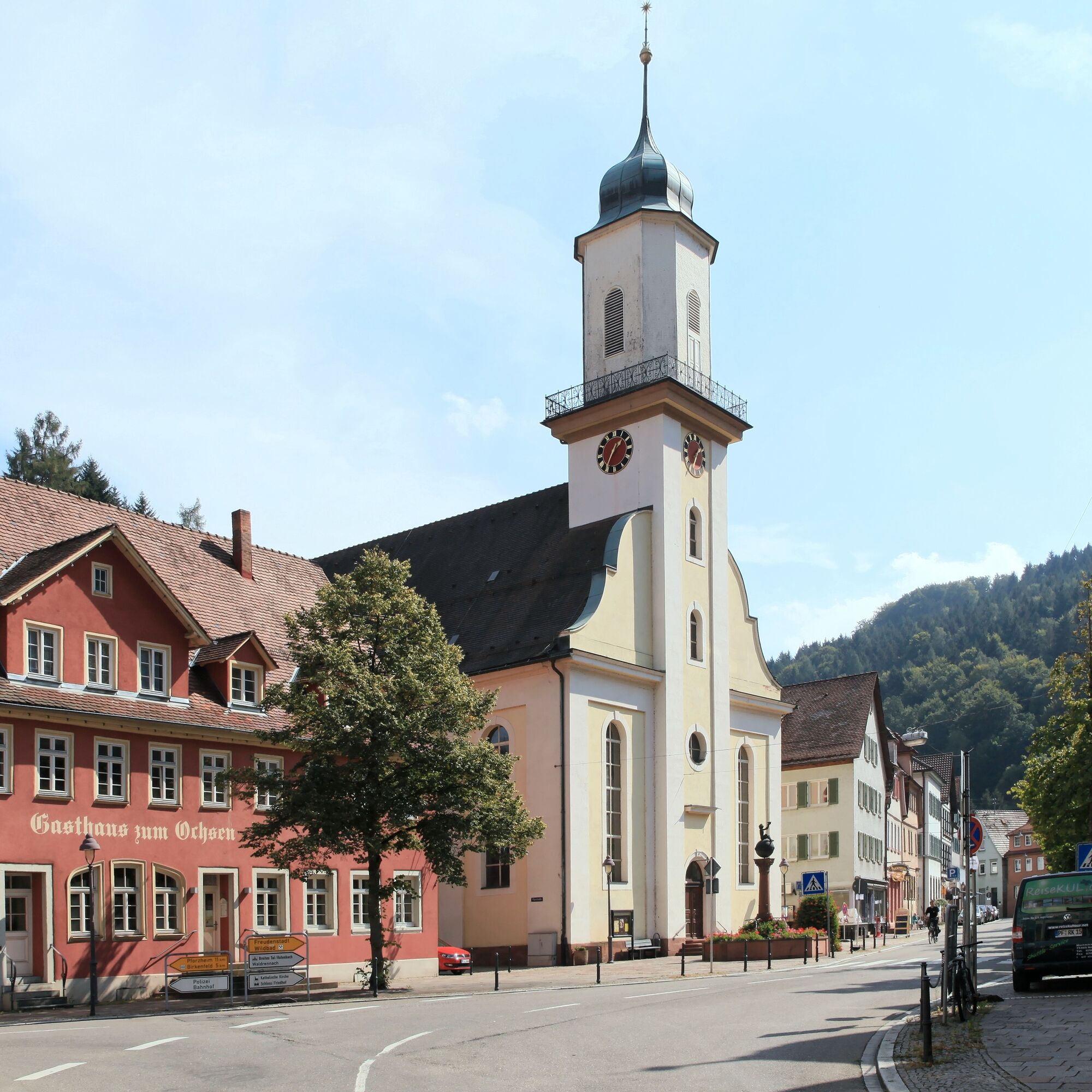
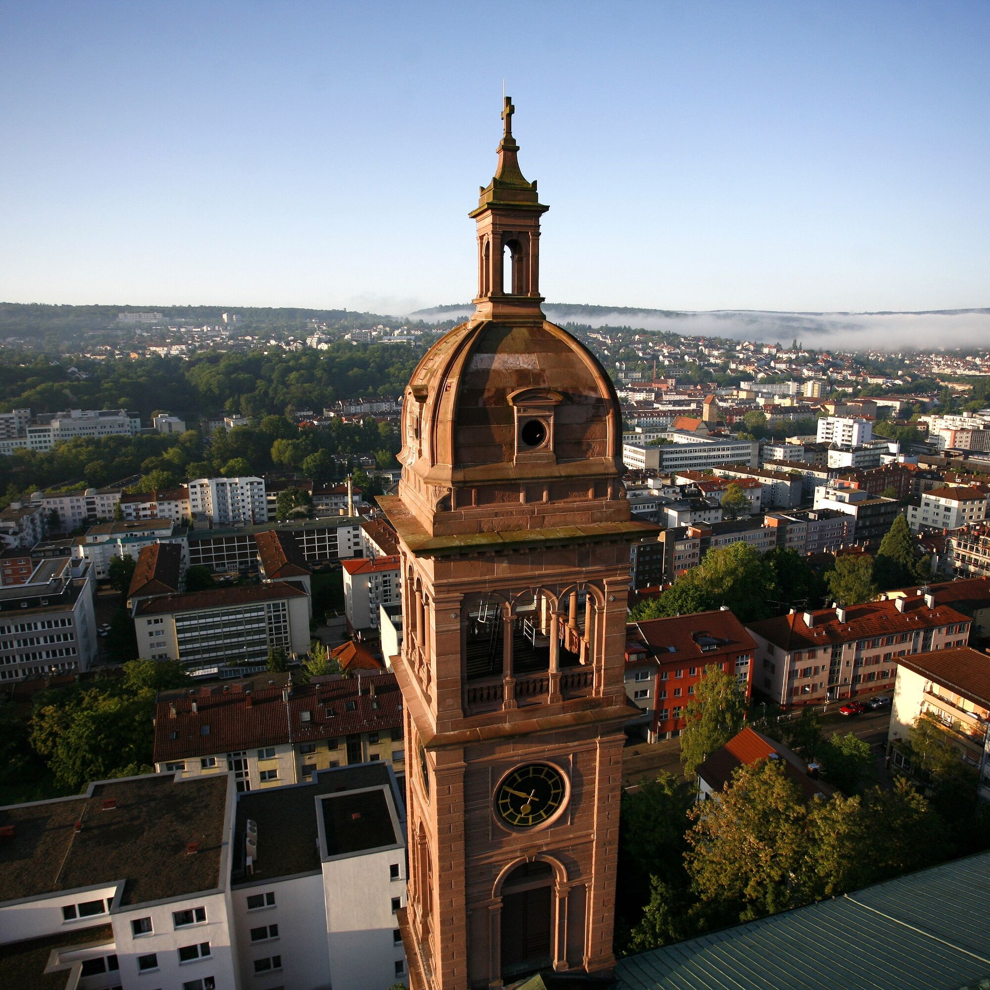
Birkenfeld - Pforzheim >> 6 km >> Along the Enz, which was renaturalized a few years ago as part of the State Garden Show, you cycle into the "gold city" Pforzheim. The first stage ends in the center or at the train station.
Áno
Áno
Touring bike, trekking bike or e-bike. Not suitable for racing bikes on all stages.
Bicycle helmet, comfortable clothing & good shoes as well as enough drinks.
No matter where you start the route, the Enz valley consistently has good transport connections. The Heidelberg-Karlsruhe and Stuttgart-Heilbronn motorway networks are in close proximity.
By train
All stage locations, except Enzklösterle, are well accessible by train in an environmentally friendly way. Deutsche Bahn, regional trains and S-Bahn of the transport associations usually allow the transport of bicycles without any problems. For example, the city express Stuttgart-Heilbronn to Walheim; the city train line S5 from Karlsruhe towards Pforzheim, Mühlacker, Vaihingen, Bietigheim-Bissingen or the S6 running between Pforzheim and Bad Wildbad.
By Enztäler bike express
From May to October, Abellio reliably brings you twice daily on Sundays and public holidays with modern multiple units from Stuttgart to the romantic Enz valley to Bad Wildbad.
More information and exact times can be found at: https://www.bwegt.de/ihr-nahverkehr/fahrrad/radexpress/radexpress-enztaeler/
By bus
On Sundays and public holidays, some buses of line X78 run with a trailer from May 1 to November 1 from Bad Wildbad to Enzklösterle. These are marked with a small bicycle on the timetable. Transport is limited, registration is desired. The phone number is also on the timetable below the timetable table.
The current timetable can be found at: https://www.vgc-online.de/fahrplaene-netz/fahrplaene/
Enzklösterle – Parking directly at the tourist info or at the sports hall (Attention! Not Gompelscheuer)
1
Stay even longer! There is a great bookable package here for your 4-day cycling and holiday experience on the Enztal cycle path!
Obľúbené výlety v okolí
-
4,7
Hiking through the Monbach Gorge in search of the kingfisher
strednáTuristika 10,5 km -
5,0
Wild romantic Monbach Valley
svetloTuristika 6,25 km -
5,0
Circular route via spring nature trail and Wurstberg
svetloTuristika 8,08 km -
4,7
Eyach round
strednáTuristika 7,84 km -
4,0
Wolfsschlucht and Fox Gorge
strednáTuristika 9,74 km -
4,7
Through the wild romantic Schweinbachtal to the Bruderhöhle cave
strednáTuristika 13,8 km -
5,0
Der Teinacher (Premiumweg & Genießerpfad)
strednáTuristika 12,0 km -
3,0
Dobel High-Altitude Route
strednáTuristika 11,8 km -
4,0
Kaltenbronn Circular Route No. 1 - Wildsee Moor Loop
svetloTuristika 8,30 km -
4,3
Nature experience tour Kaltenbronn
strednáTuristika 14,2 km

Turistika a stopovanie


Nenechajte si ujsť ponuky a inšpiráciu na ďalšiu dovolenku
Vaša e-mailová adresa bol pridaný do poštového zoznamu.