







Romantic bike tour around Eisenbach

Úroveň náročnosti: 2
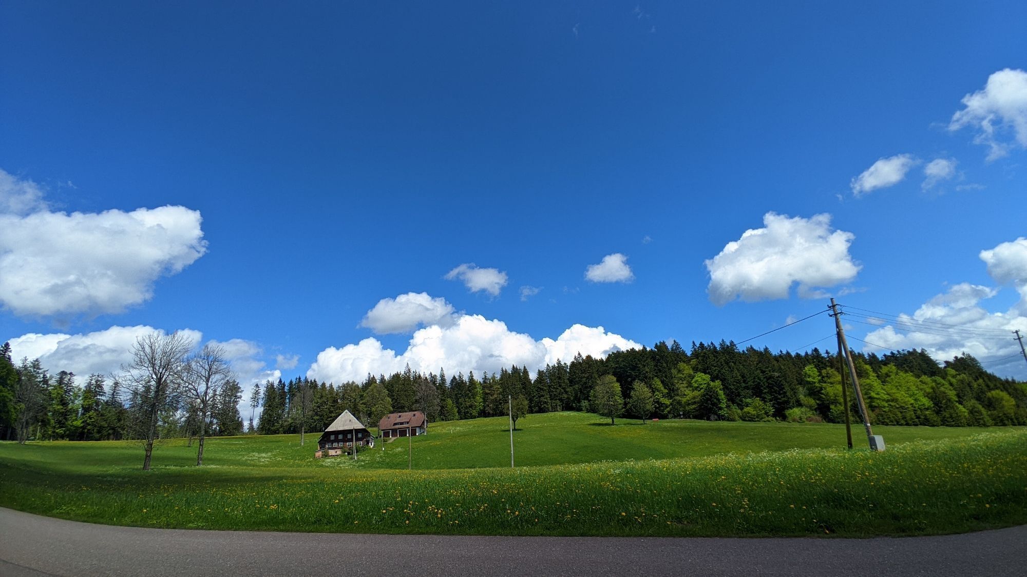
Die Tour startet am Sportstadion Höchstberg, führt durch Oberbränd und das "Weibermoos" zu den Wiesen und Wäldern bis zum "Holländerweg". Weiter geht es über Bubenbach, vorbei an der Kirche, bergab zur...
Die Tour startet am Sportstadion Höchstberg, führt durch Oberbränd und das "Weibermoos" zu den Wiesen und Wäldern bis zum "Holländerweg". Weiter geht es über Bubenbach, vorbei an der Kirche, bergab zur Kreisstraße bis zum Gasthaus Blessinghof. Danach durch Schollach, vorbei am ersten Skilift der Welt, und weiter bergauf zum Hochberg, wo du dich im Gasthaus Engel stärken kannst. Von dort aus geht es über den "Birkenweg" und das "Täle" mit Aussichtspunkten zum Titisee und Feldberg zurück zum Sportplatz Höchst.

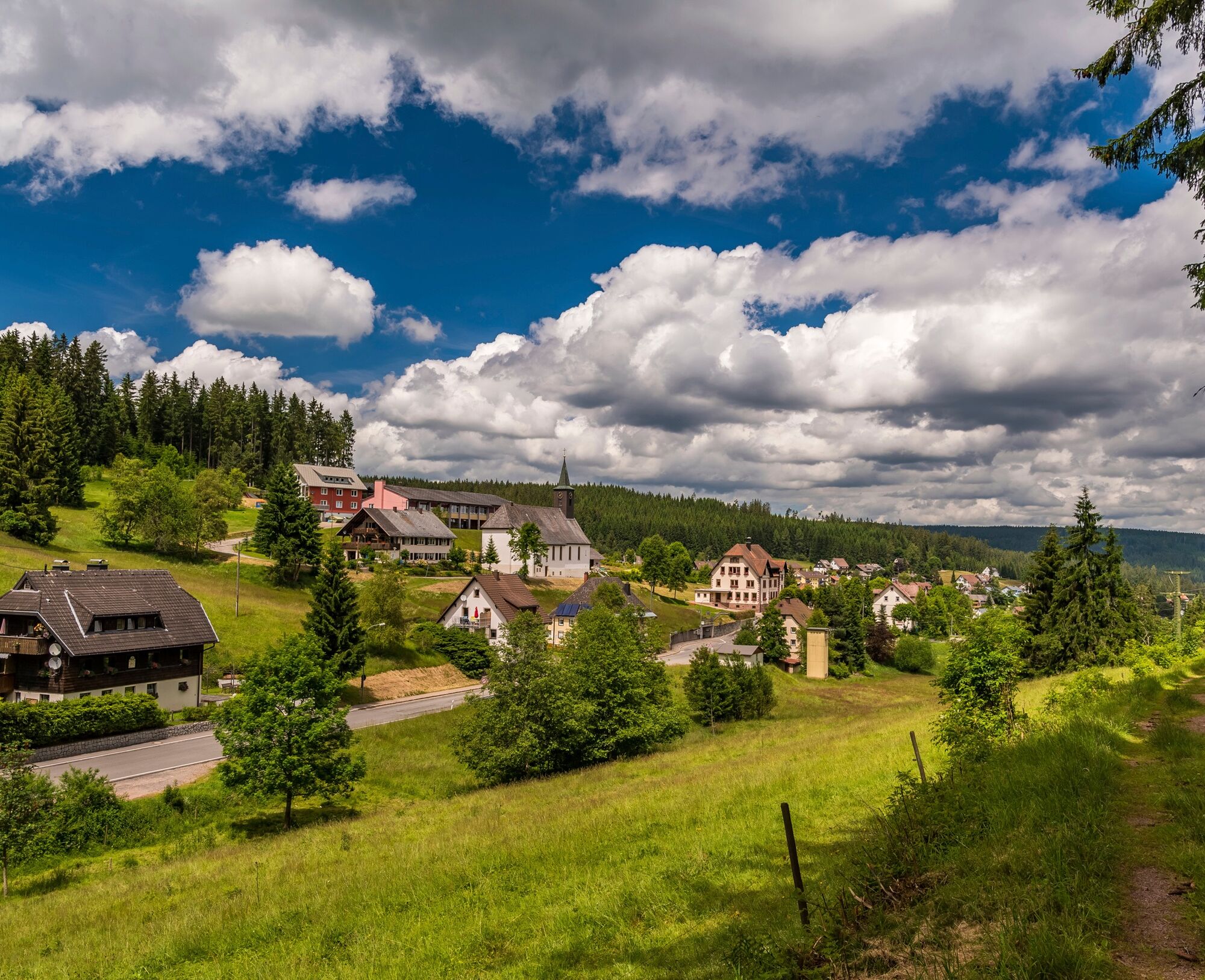
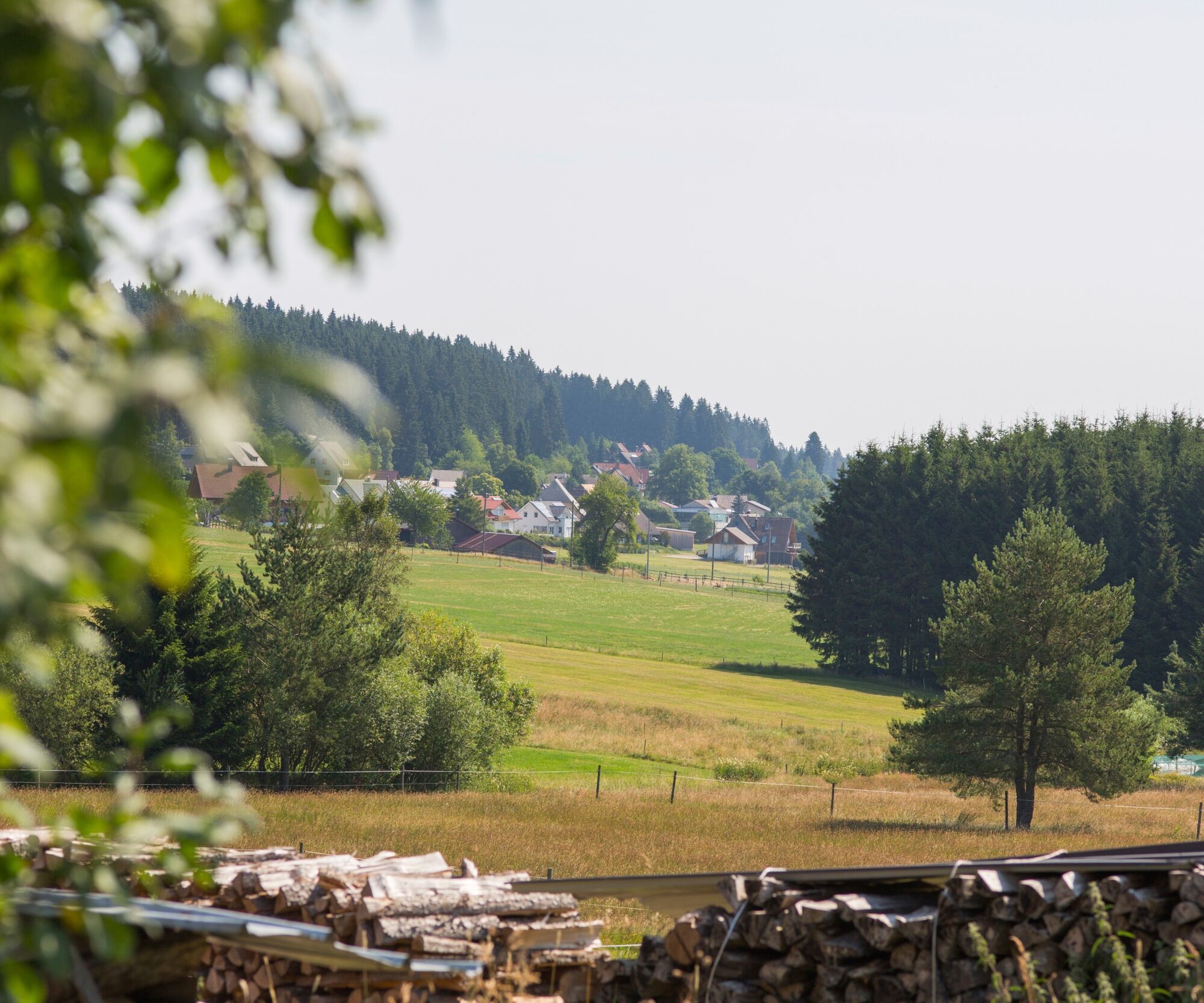
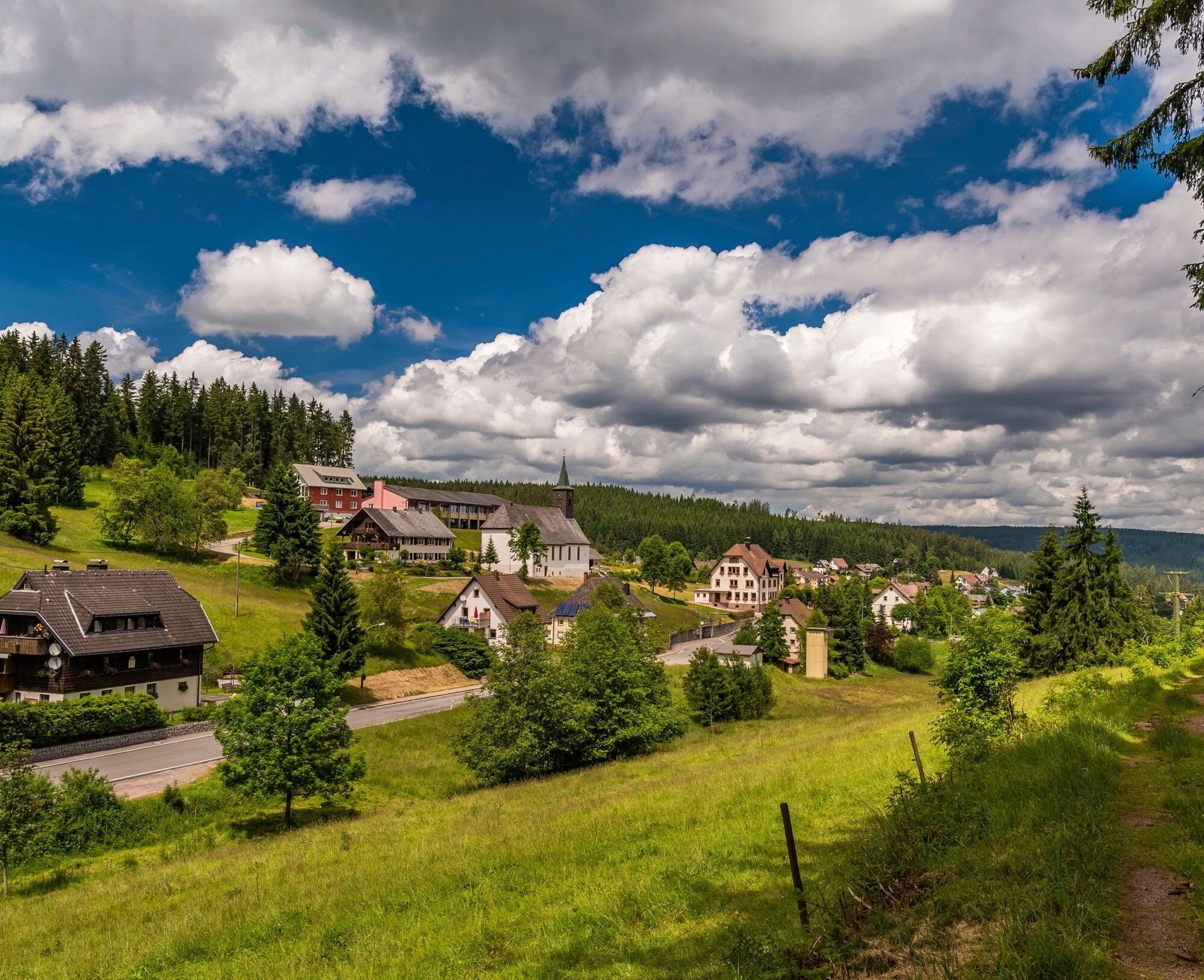
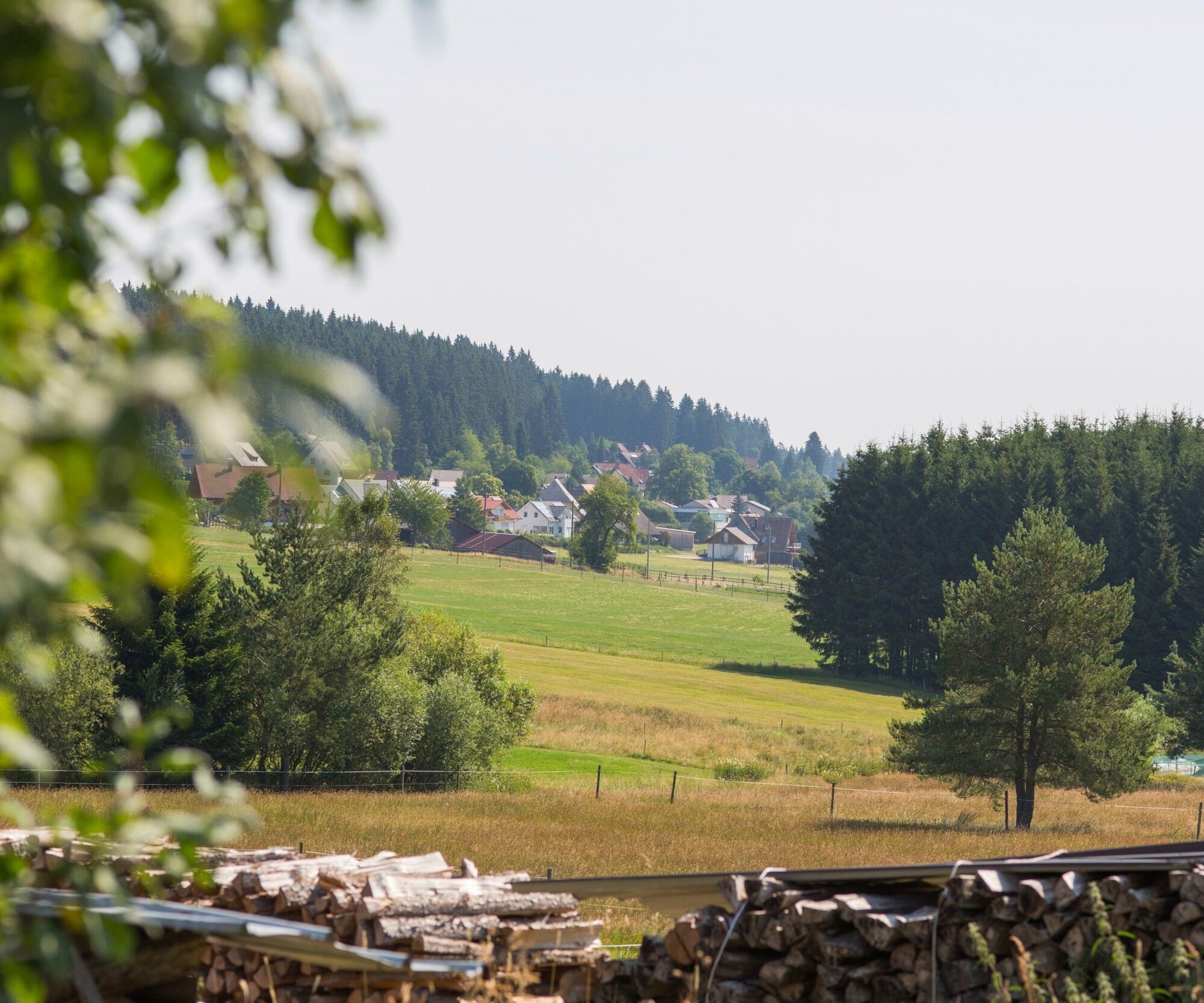

From the sports stadium on Höchstberg, the tour starts on the right past the Sparkasse bank in the direction of Oberbränd. After the Oberbränd town sign, turn right before the Linde inn into "Weibermoos". Stay on the small road and cycle first through meadows, then through the forest past the water treading area and straight on to "Holländerweg". Here it goes uphill towards Bubenbach. In the forest, head towards the "old Bubenbacher Straße" and the "Glaserweg" to Bubenbach as far as the church. Past the church, the trail leads downhill on the district road (K4905) to the Blessinghof inn. Turn left along the L172 for a short distance, then turn right into "Birkenweg". Follow the "Birkenweg" to the district road (K4903) and then turn right through the beautiful high valley of the Eisenbach district of Schollach. The world's first ski lift once stood here opposite the "Schneckenhof" inn. In Hinterschollach, you can now choose to ride uphill directly on the Hochbergstraße past the "Bärenhof" or continue uphill on the district road to the "Magrutt" parking lot on the Hochberg. From the "Magrutt" parking lot, a forest and gravel path on the right also leads up to the Hochberg. At the highest point of the tour, at the Gasthaus Engel on the Hochberg, you can fortify yourself before heading back downhill (preferably via the Hochbergsträßle) to Schollach. At the "Altvogtshof" guesthouse, turn right again uphill via "Magrutt", the so-called "Täle", with wonderful views of Lake Titisee and Feldberg along to the "Platzberg" playground and barbecue area (opposite Gasthaus Ahorn). The route continues slightly uphill to the "Russenkreuz". From here you have a wonderful view of the Feldberg, Titisee, Hochfirst and, on a clear day, as far as the Alps. Now turn right and cycle along the plateau and through a short section of forest. Back at the sports field on the Höchst, you can once again enjoy the wonderful view of the Baar and (on a clear day) as far as the Alps.
Áno
Wir empfehlen das Tragen eines Helmes.
2
Kurz vor Ende der Tour lädt die gemütliche und urig eingerichtete Gaststube im Gasthaus Ahorn zur Stärkung ein. Genieße nach der Tour Spezialitäten auf dem traditionellen Vesperbrett oder probiere die regionalen Gerichte mit Rindfleisch aus der eigenen Rinderzucht.


Obľúbené výlety v okolí
-
4,7
Black Forest Highlands heritage trail - mills and saws in the gorge
strednáTuristika 7,42 km -
3,9
Seerundweg Titisee
svetloTuristika 5,84 km -
4,2
Höhenklimaweg Titisee-Rundweg
strednáTuristika 7,44 km -
4,6
Through the mystical Bannwald forest to the Zweribach Waterfall
strednáTuristika 12,2 km -
3,9
From Titisee to the Hochfirst with its stunning views
strednáTuristika 10,6 km -
4,3
Ravennaschlucht
Turistika 6,90 km -
4,7
Premium Hiking Trail - Rötenbach Gorge
strednáTematická trasa 10,1 km -
5,0
Old chapels and churches in the Ravenna Gorge
strednáPútnická trasa 15,7 km -
4,5
Potsdamer Platz - Hirschbachfälle- Zweribachfälle - Plattenhof
strednáTuristika 9,34 km -
3,0
Thurner Panorama Trail
strednáTuristika 11,8 km
Turistika a stopovanie


Nenechajte si ujsť ponuky a inšpiráciu na ďalšiu dovolenku
Vaša e-mailová adresa bol pridaný do poštového zoznamu.





