







From Bad Herrenalb to Kreuzlehütte and to Bad Wildbad (KONUS)
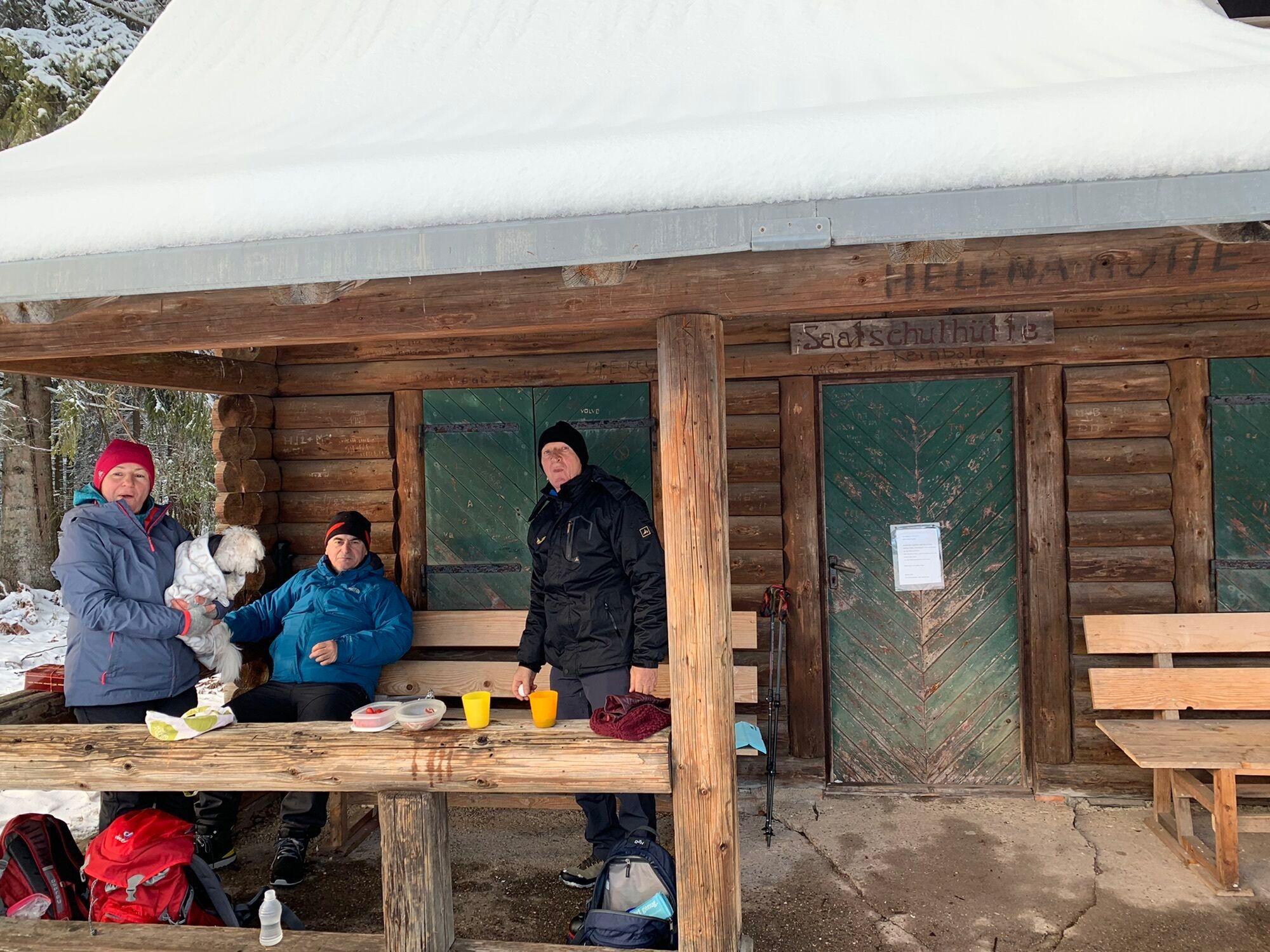
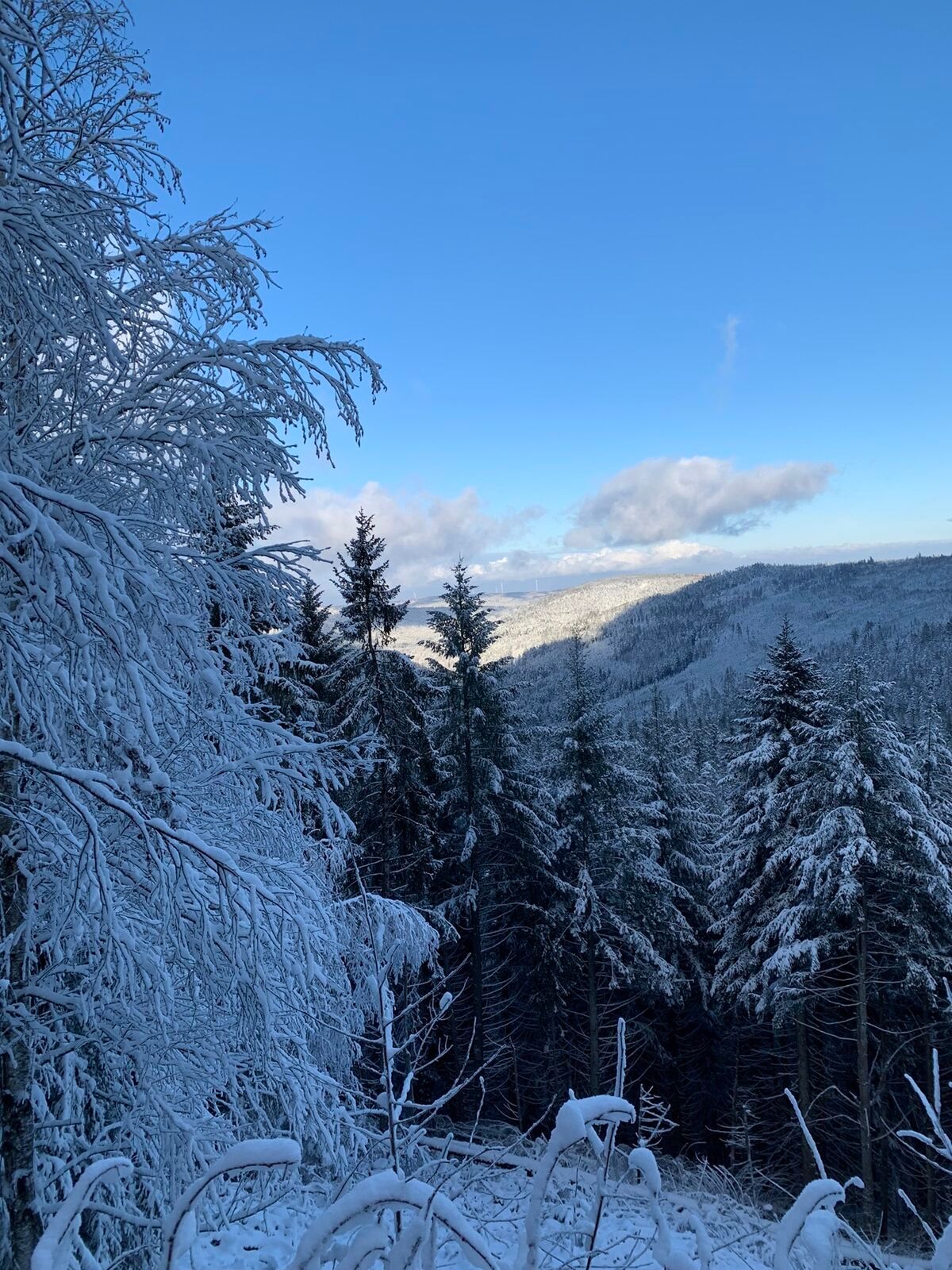
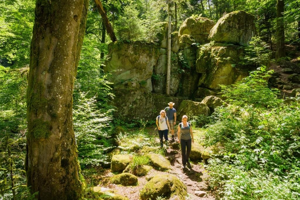
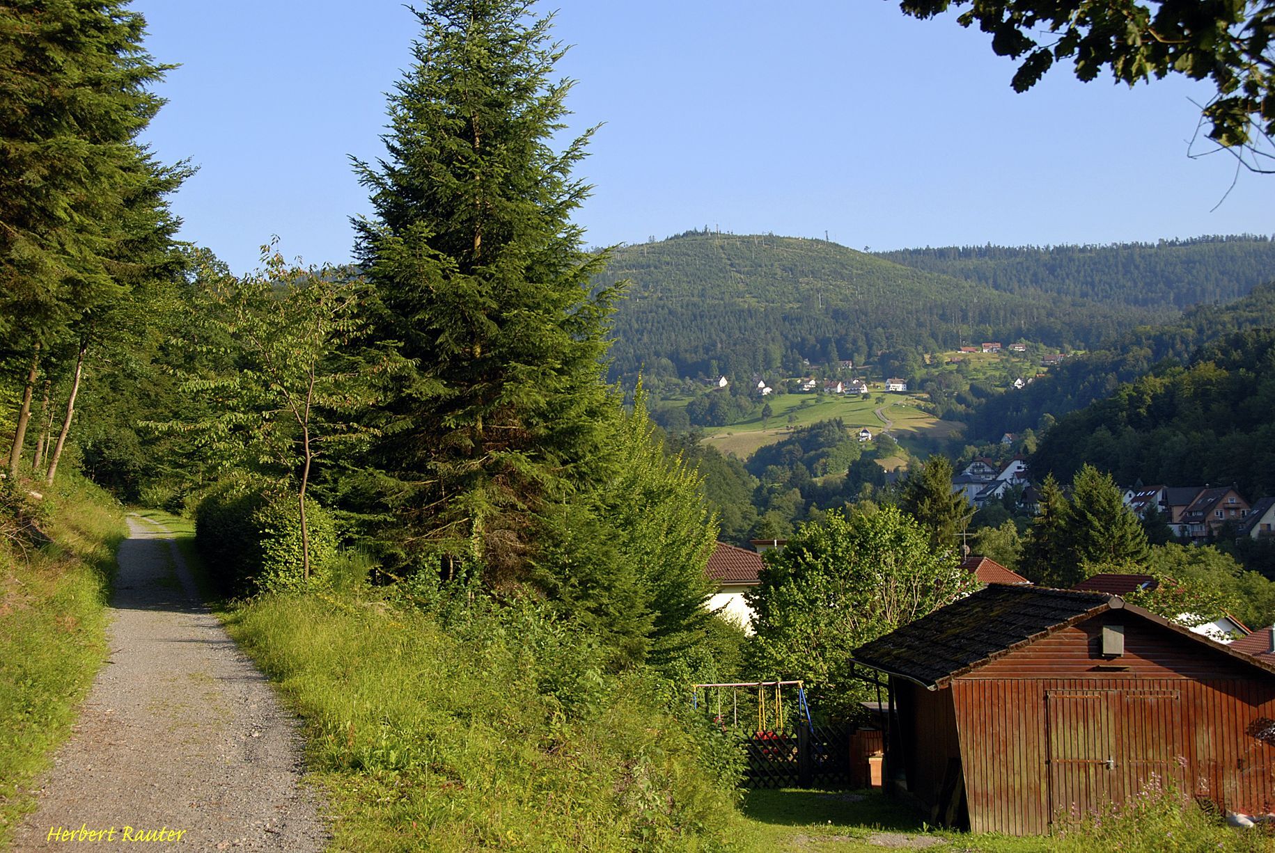
This route leads through beautiful landscapes, wild romantic valleys, high locations with magnificent panoramic views, past several shelters, steep climbs, which at the end is rewarded with a fast descent....
This route leads through beautiful landscapes, wild romantic valleys, high locations with magnificent panoramic views, past several shelters, steep climbs, which at the end is rewarded with a fast descent.
More info in the detailed tour description.
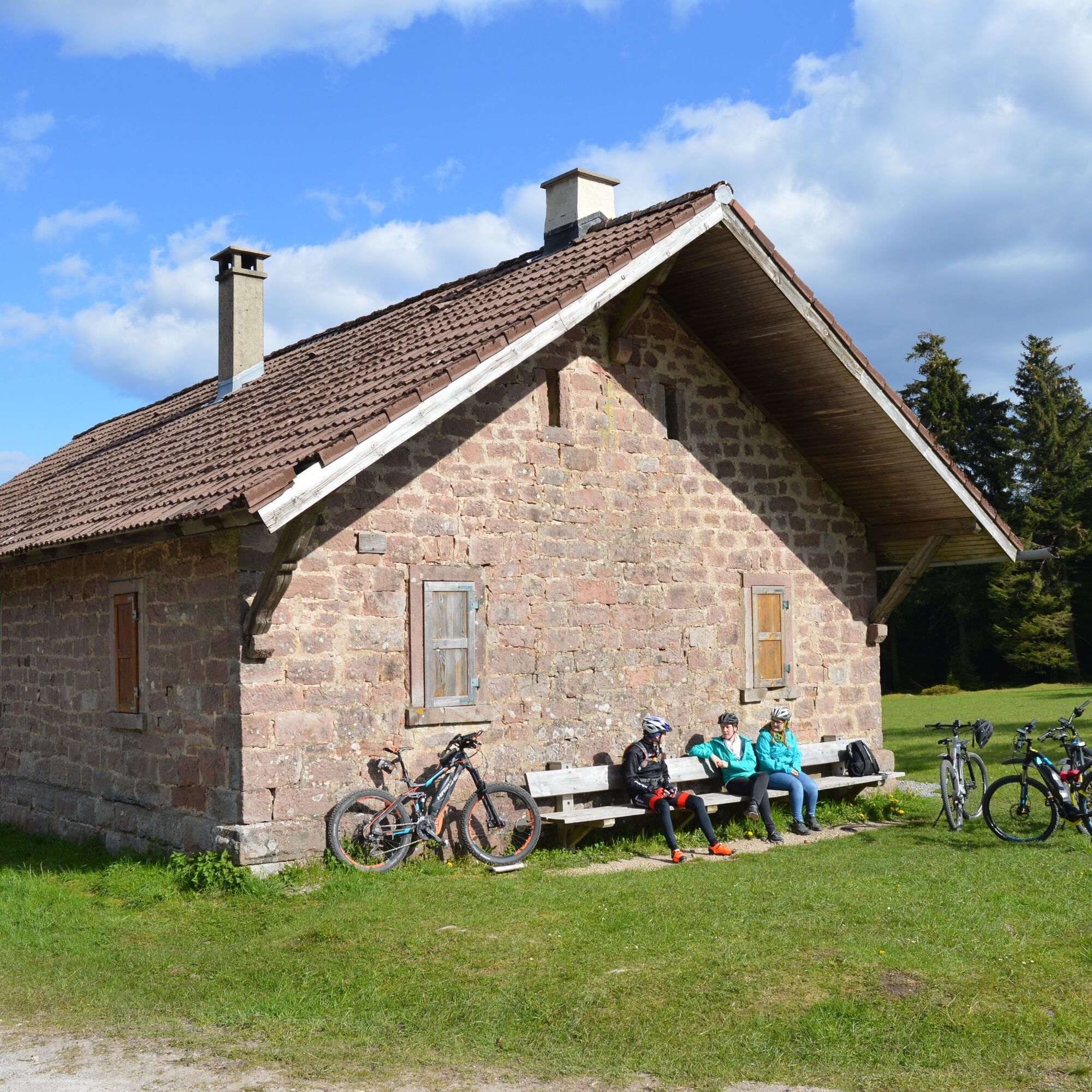

0.0 km Start at the town hall / Alb bridge – road "An der Alb" short section along the Alb upstream
0.3 km Sharp right turn onto road "Weg zur Schanz" and follow it uphill towards the spring experience path.
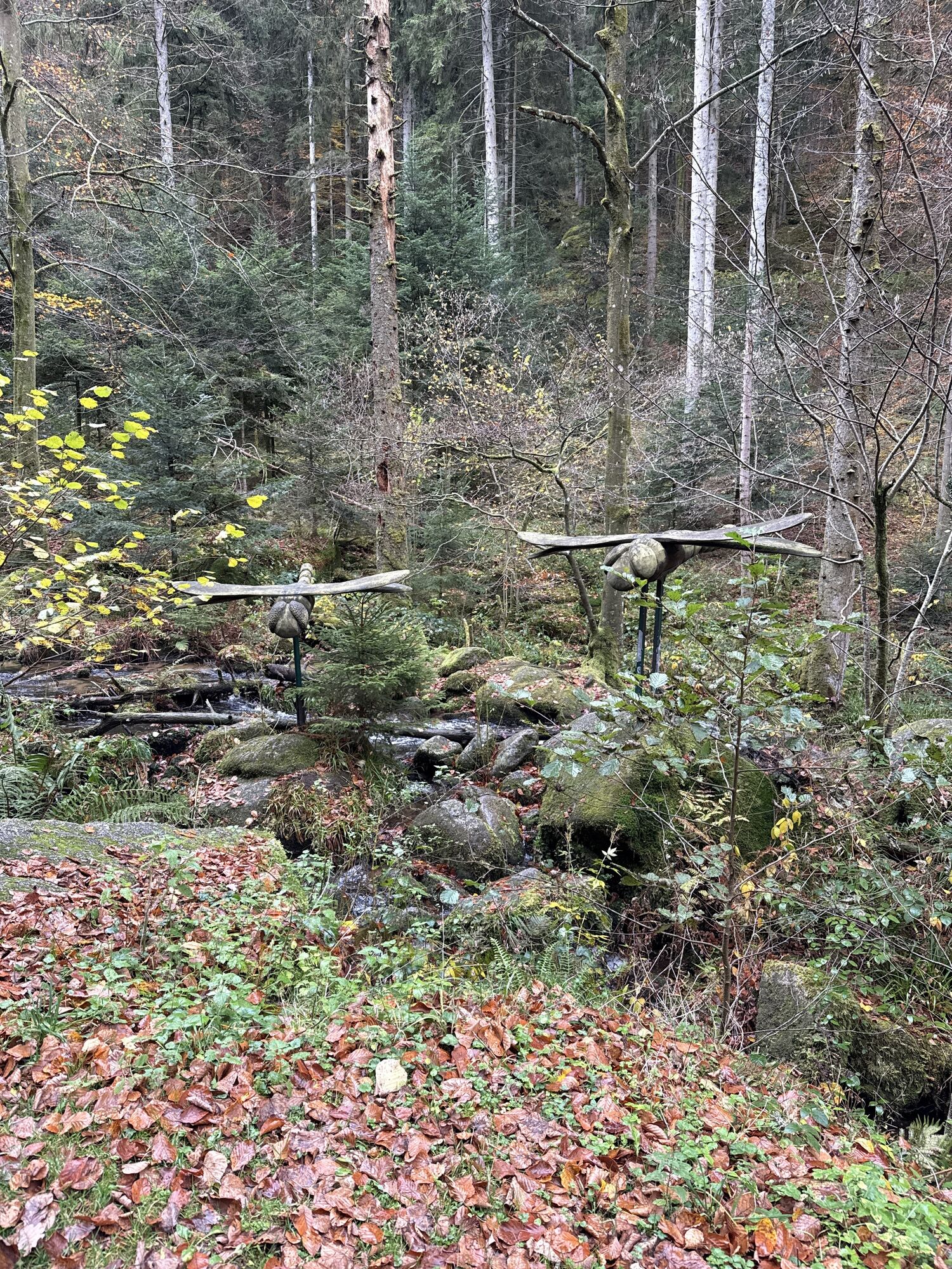
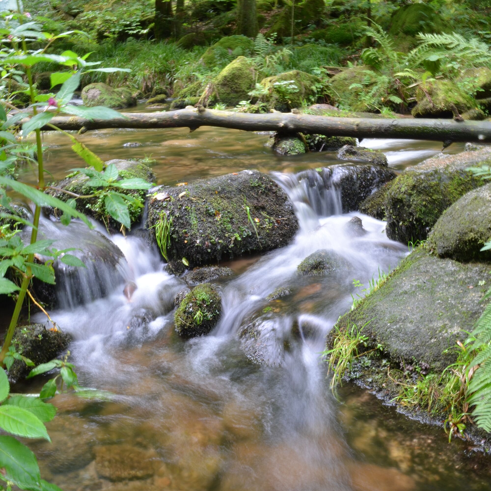
0.7 km keep right, leave the road and follow the spring experience path for approx. 3.5 km uphill past the wild romantic Alb
4.1 km Turn left onto the road (very steep climb!)
4.5 km Turn right onto the road, past the hamlet Zieflensberg
5.4 km At the 180° curve of the road keep following
6.1 km Leave the road and follow the forest path to the right for 200 meters
6.3 km Follow the driveway uphill for approx. 700 meters
7.0 km Turn right and follow the partly gravelled forest path (West Radweg) steadily uphill.
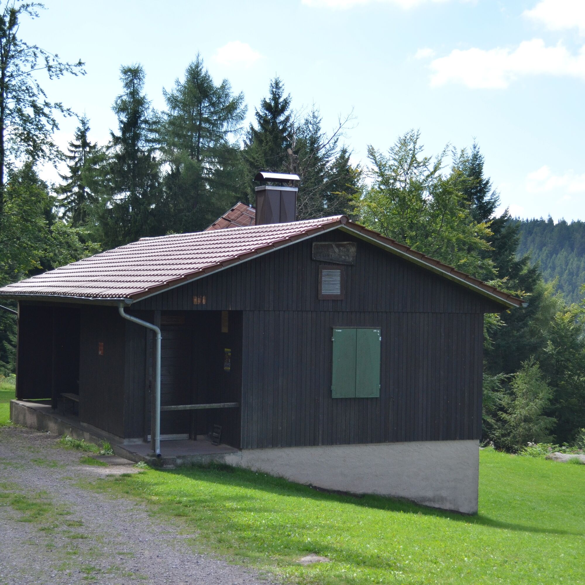
10.0 km Past the Hahnenfalz hut (partly served at weekends) still uphill
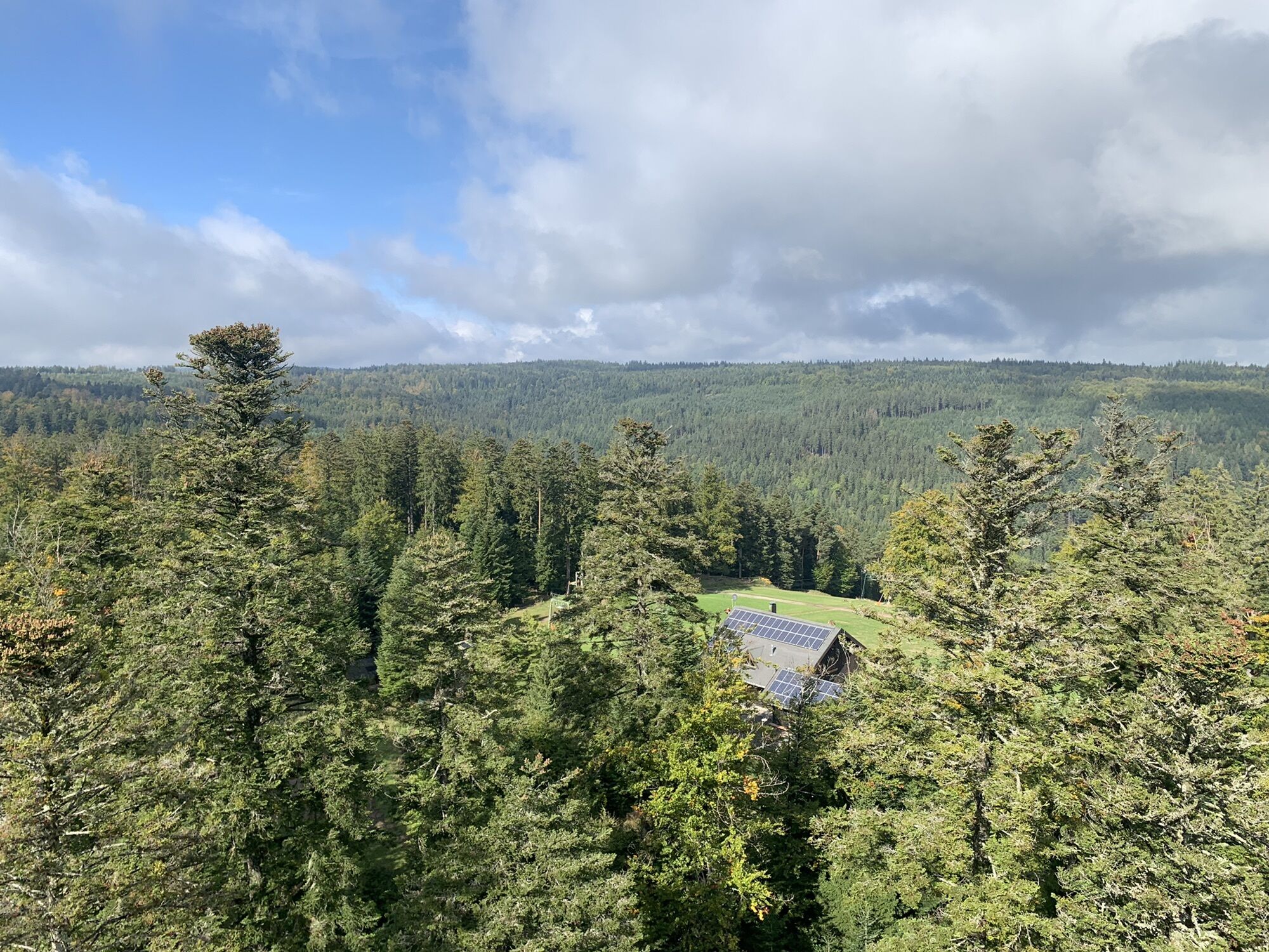
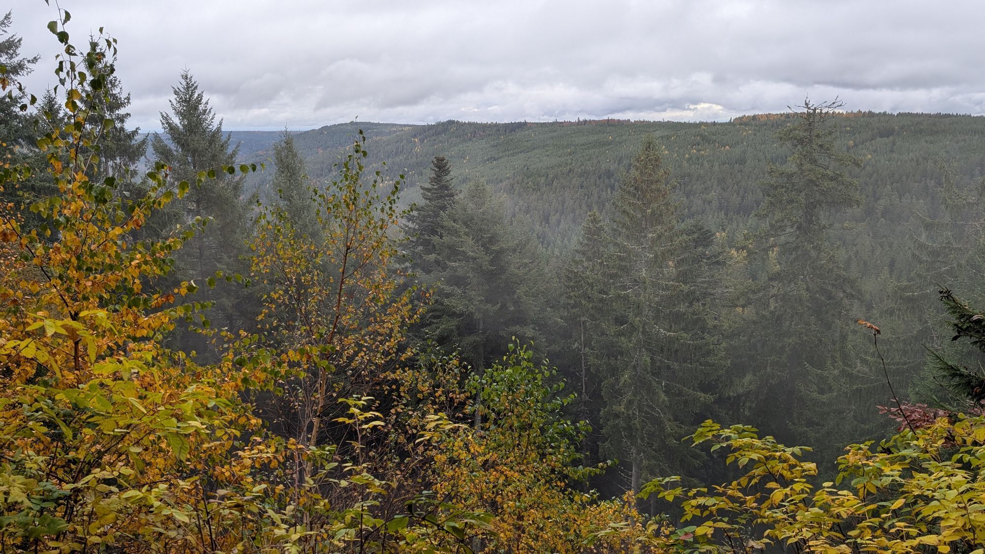
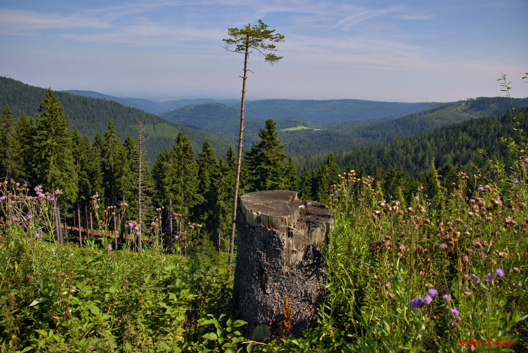
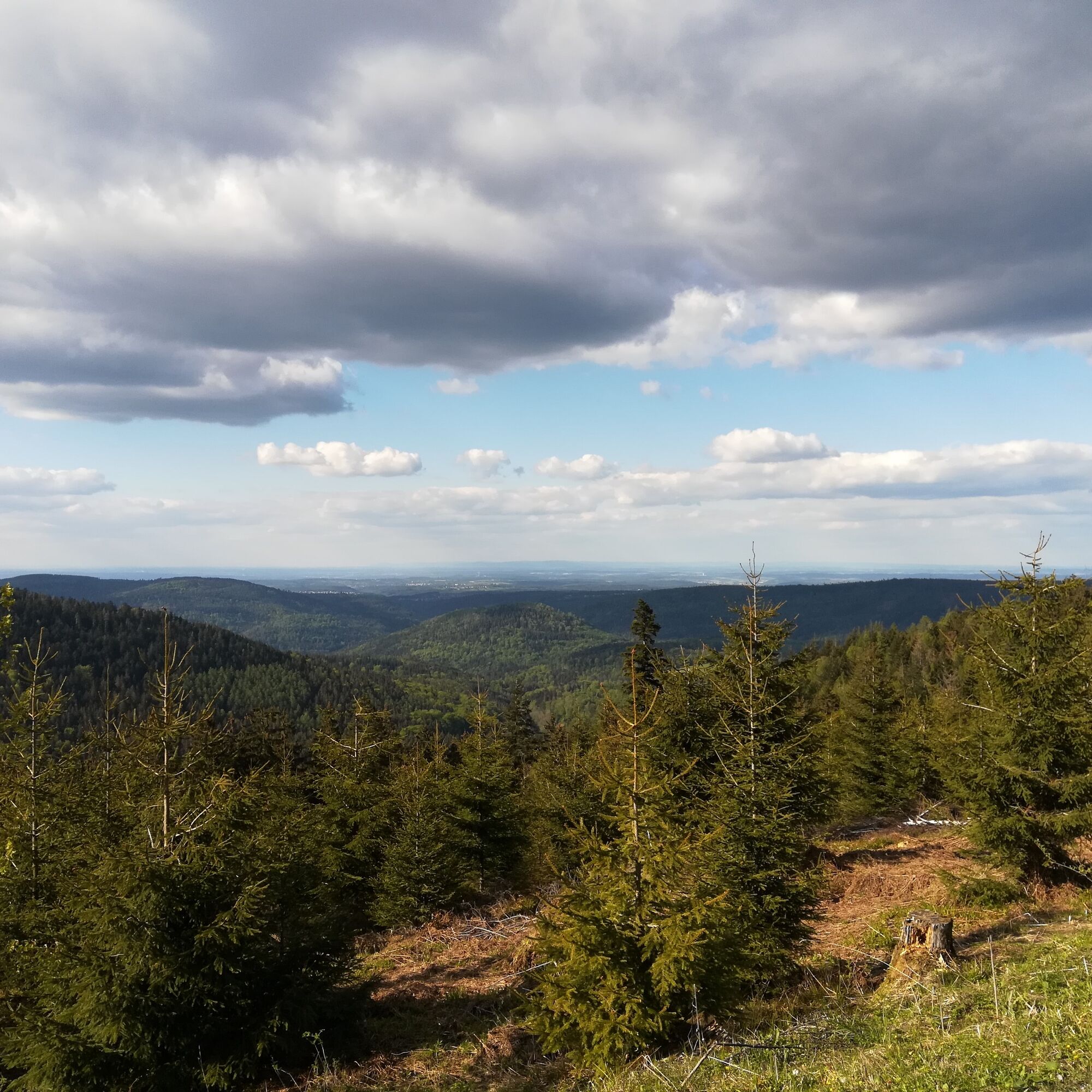
10.6 km Short break and enjoy the magnificent panoramic view of the Rhine valley, then follow the partly gravelled forest path to the left
11.3 km Take a breath, the biggest climb is done! Follow the forest path to the right.
11.9 km Past the Langmartskopf hut (shelter) and keep slightly to the left
13.7 km Past the Kreuzlehütte (shelter) and keep slightly to the left and follow the path for approx. 2 km
15.7 km At the signpost turn left to continue the path to Bad Wildbad. (From here (going straight ahead) a detour to Wildsee is also possible, which is considered Germany's highest raised bog pond – a scenic and worthwhile destination – but the boardwalk through the raised bog is closed to bicycles).
16.1 km Keep right at the fork and continue along the path
18.6 km Wildsee info board (from here another access to the Wildsee is possible – access only – no vehicle entrance)
18.7 km At the Weißenstein hut (shelter) turn left and continue straight ahead
19.4 km Keep right at the fork and follow the forest path
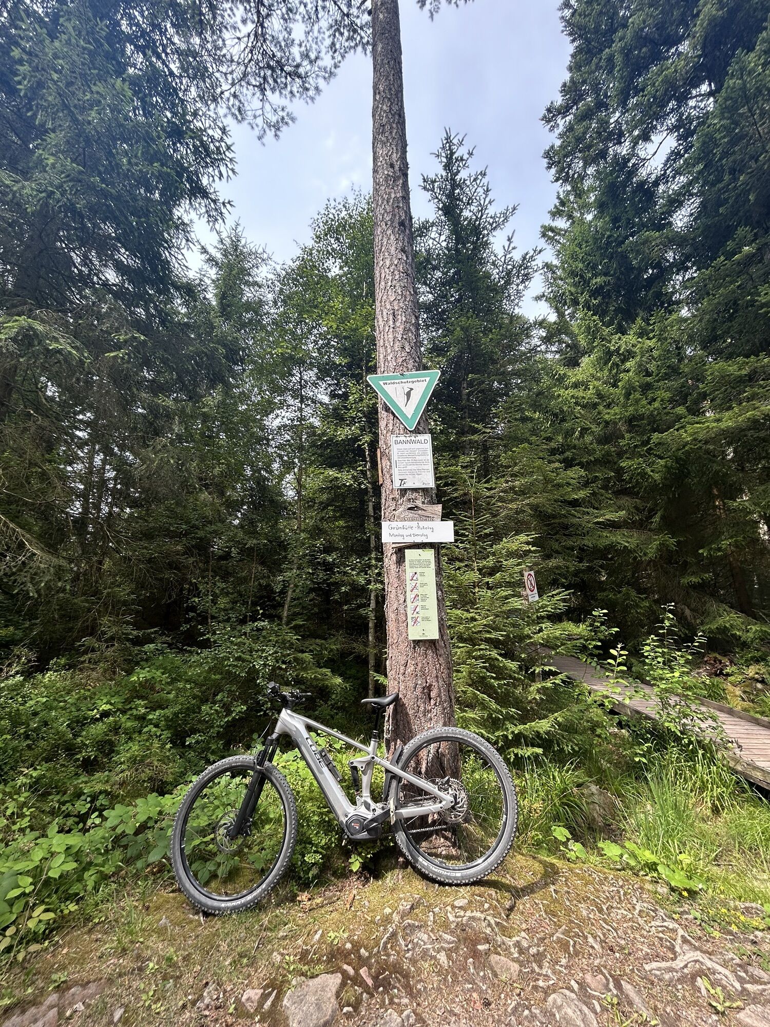
20.1 km Here at the staffed Grünhütte, a snack and drink break is recommended – warm meals are also served here.
The route then continues straight ahead for a short distance…
20.3 km Turn left for a small climb, after about 50 meters keep right and follow the path for 400 meters
20.7 km Turn right and follow the path
21.4 km Continue straight… after 600 meters continue straight ahead
23.5 km Keep going straight…
23.9 km Keep right and continue straight – past the Bad Wildbad tree-top walk, where it is worth pausing.
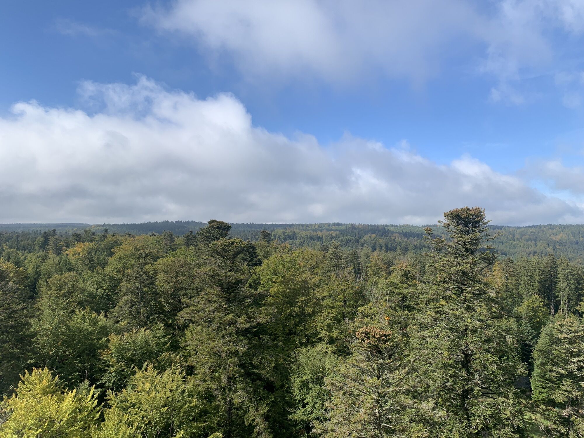
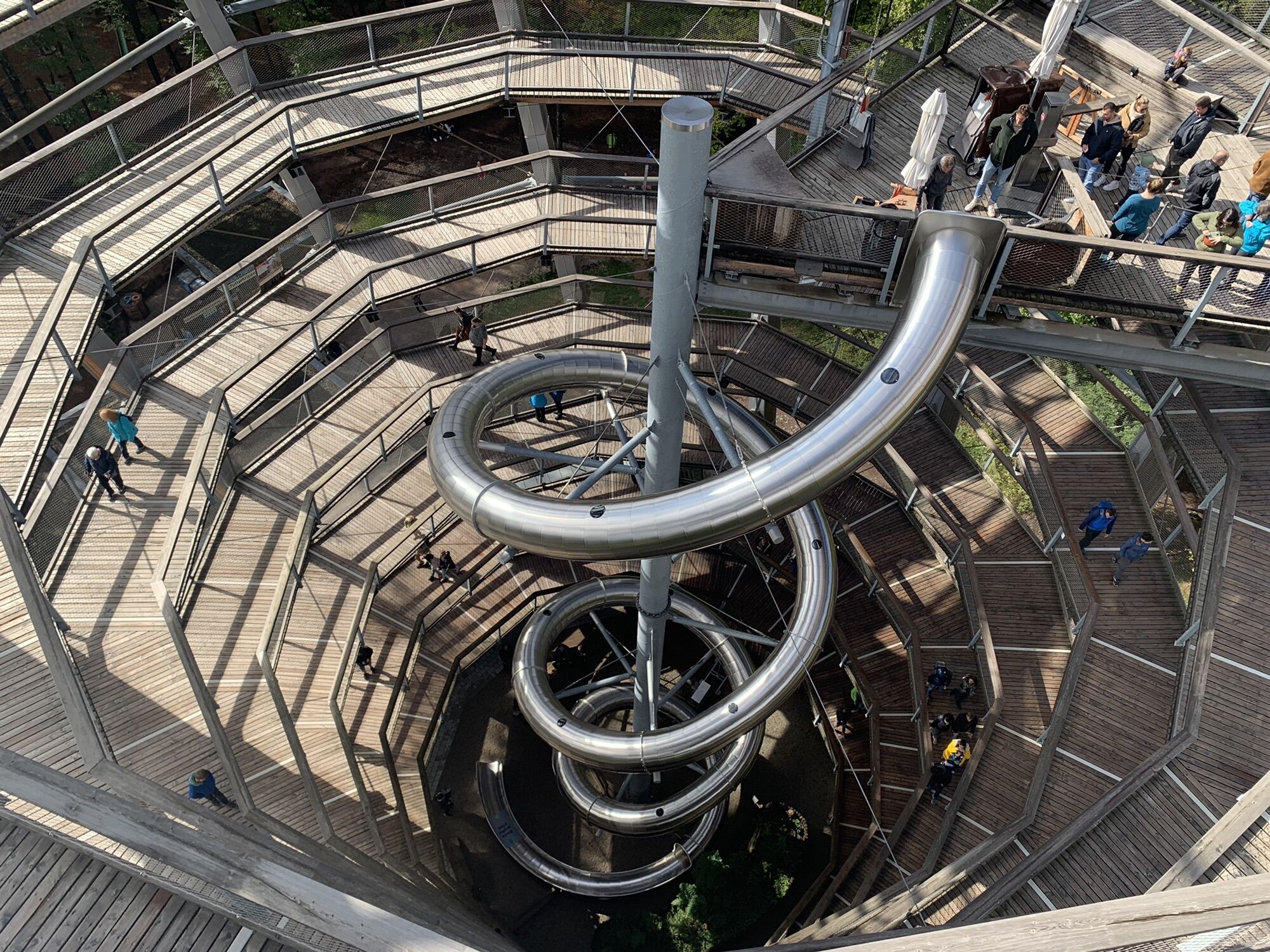
24.7 km Here is the 40-meter-high observation tower of the tree-top walk – and those who have reached the top and enjoyed the spectacular 360° panorama over the Black Forest can speed down again via the 55-meter-long tunnel slide.
24.8 km Keep left and after approx. 200 meters keep right.
25.3 km Follow the "Peter-Liebig-Weg" towards "Sommerberg"
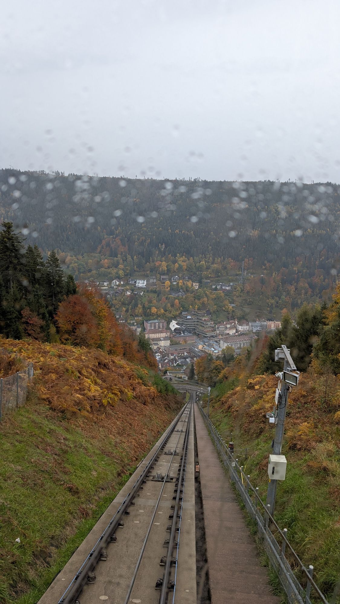
25.4 km Here is the top station of Sommerberg, which has its valley station in the center of Bad Wildbad. From here, keep left and go down a short section and then keep left. In 200 meters is the (paid) parking lot for Sommerberg, the tree-top walk, and the downhill bike park.
25.8 km Just before the entrance of the parking lot which has been crossed, there is (coming from Sommerberg) on the right side the entrance to the downhill bike park – where appropriate protective gear such as a downhill helmet and protectors must be used.
However, we go straight on (because riding without appropriate equipment is life-threatening) and continue on the asphalt road (Watch out for oncoming vehicles !!! – public road). On a longer and above all (due to the steep gradient) fast descent, it goes down to the valley into the center of Bad Wildbad.
28.2 km At the roundabout take the 3rd exit towards the station, which is reached after 200 meters.
28.4 km Destination Bad Wildbad station. From here, there is the possibility to take tram S6 towards Pforzheim (continuing to Karlsruhe).
Mountain / e-mountain bike is recommended
By car:
Coming from Frankfurt or Basel:
Highway A5, exit Ettlingen, then follow the signs.
Coming from Stuttgart:
Highway A8, exit Karlsbad/Bad Herrenalb, then follow the signs.
By public transport:
Take S1 from Karlsruhe main station or Ettlingen to Bad Herrenalb station.
From Karlsruhe direction take the S1 to Bad Herrenalb (Albtal route)
From Bad Wildbad to Pforzheim with S6 and then S5 to Karlsruhe
From Bad Wildbad to Bad Herrenalb (and vice versa) with bus X63 (bike transport not guaranteed!)
P+R at Bad Herrenalb train station
Paid parking at the town entrance
free forest parking lot above the cemetery
paid parking at the spa
Tourism and City Marketing Bad Herrenalb
Rathausplatz 11
76332 Bad Herrenalb
Tel: 07083/5005 55
E-Mail: info@badherrenalb.de
www.badherrenalb.de
There are dining options at the end of the route in Bad Wildbad or comfortably at/by the Grünhütte. Of course, the route can also be ridden in reverse, ending in Bad Herrenalb.
Webové kamery z prehliadky
-
Talstation Kaltenbronn
-
Schwarzwald Panorama
-
Schwarzwald Panorama
-
Schwarzwald Panorama
-
Schwarzwald Panorama
-
Schwarzwald Panorama
-
Schwarzwald Panorama
-
Schwarzwald Panorama
-
Schwarzwald Panorama
-
Bad Wildbad - Hotel Rothfuß
-
Dampfkraftwerk Karlsruhe
-
Bad Wildbad - Sommerberg
-
Bad Wildbad - Kurplatz
-
Enztalflieger
-
Livestream vom Camping Kleinenzhof
-
Skihang Kaltenbronn
Získajte prehľad
Vždy naživo na mieste s viac ako 9 500 webovými kamerami. bergfex Ako používateľ Pro si teraz môžete pozrieť príslušné webové kamery pre mnohé zájazdy v aplikácii zájazdy z. Môžete si tak priamo prezerať aktuálne podmienky.
Obľúbené výlety v okolí
-
5,0
Circular route via spring nature trail and Wurstberg
svetloTuristika 8,08 km -
4,8
Eyach round
strednáTuristika 7,84 km -
4,2
Kaltenbronn Circular Route No. 1 - Wildsee Moor Loop
svetloTuristika 8,30 km -
4,7
premium hiking trail Enzquellenpfad
strednáTuristika 19,9 km -
2,7
Genießerpfad zum Panoramastüble
Turistika 10,6 km -
3,0
Dobel High-Altitude Route
strednáTuristika 11,8 km -
4,3
Nature experience tour Kaltenbronn
strednáTuristika 14,2 km -
4,8
Weisenbacher Steig (Rechts der Murg)
strednáTuristika 17,6 km -
AugenBlick route Bad Herrenalb Schweizerkopf
strednáTuristika 15,5 km -
4,0
Walk to Bernsteinfelsen
strednáTuristika 14,5 km

Turistika a stopovanie


Nenechajte si ujsť ponuky a inšpiráciu na ďalšiu dovolenku
Vaša e-mailová adresa bol pridaný do poštového zoznamu.





