Navigácia na stránke
Získajte túto prehliadku v mobilnom telefóne
Mapa
From Friedrichshafen to the Tettnang countryside with hops and house chapel

stredná
Cyklistika
54,33 km
Naskenujte kód QR a spustite navigáciu v aplikácii bergfex
QR Code
Turistika a stopovanie

From Friedrichshafen to the Tettnang countryside with hops and house chapel
Vzdialenosť
54,3 km
Trvanie
03:53 h
Ascent
500 hm
Hladina mora
399 - 581 m
Stiahnutie skladby
Mapa
From Friedrichshafen to the Tettnang countryside with hops and house chapel
stredná
Cyklistika
54,33 km

You leave Friedrichshafen through the Riedlepark, past the Zeppelindorf, a former workers' settlement where a house now serves as a museum, in the direction of Ailingen. Here the orchards, fields and meadows...

Opis

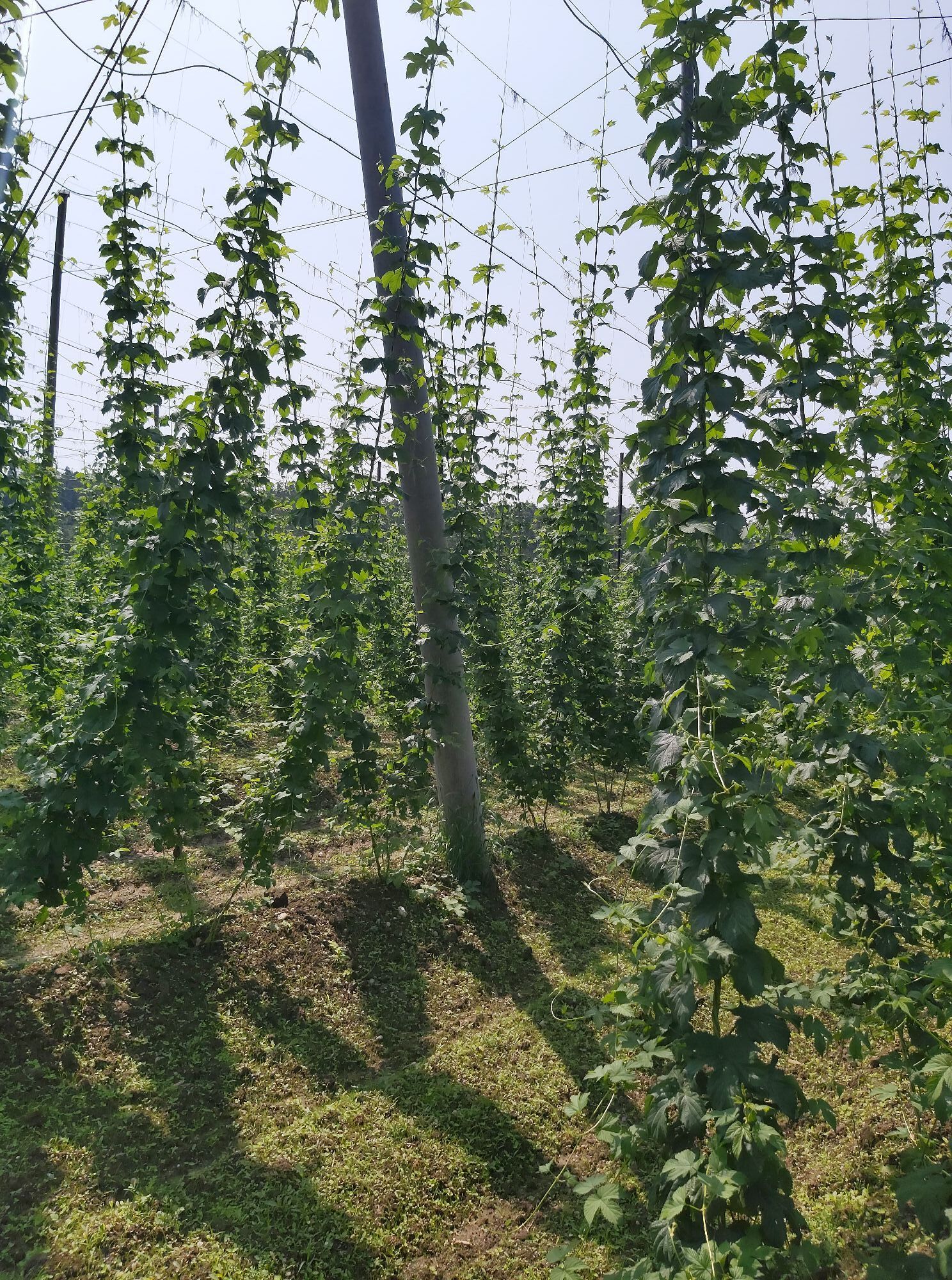
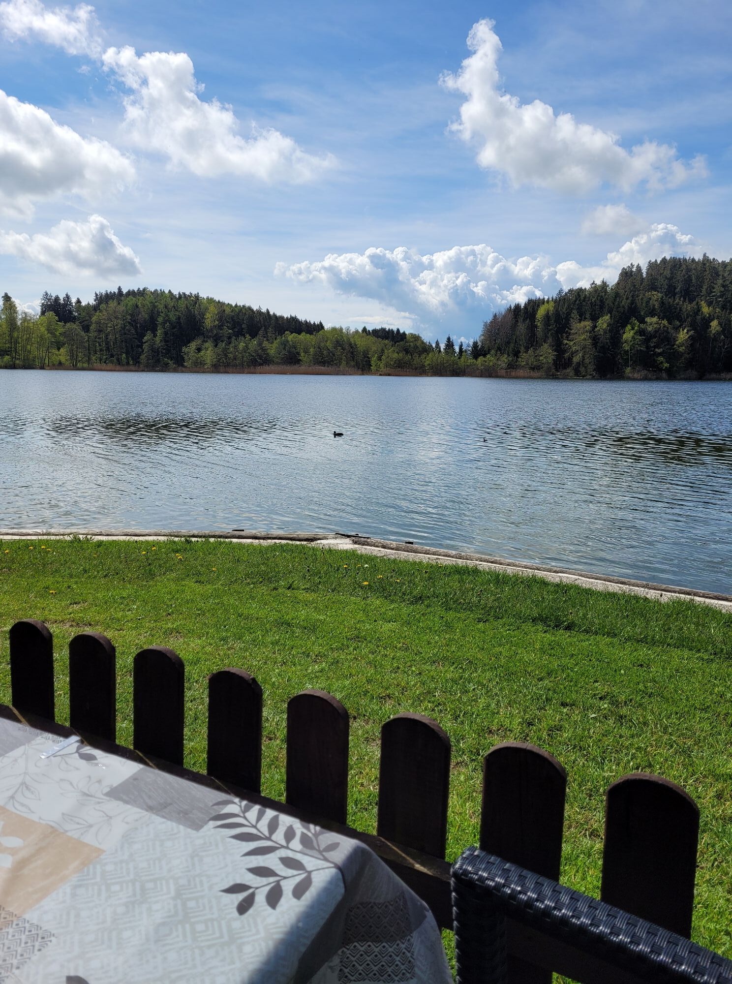
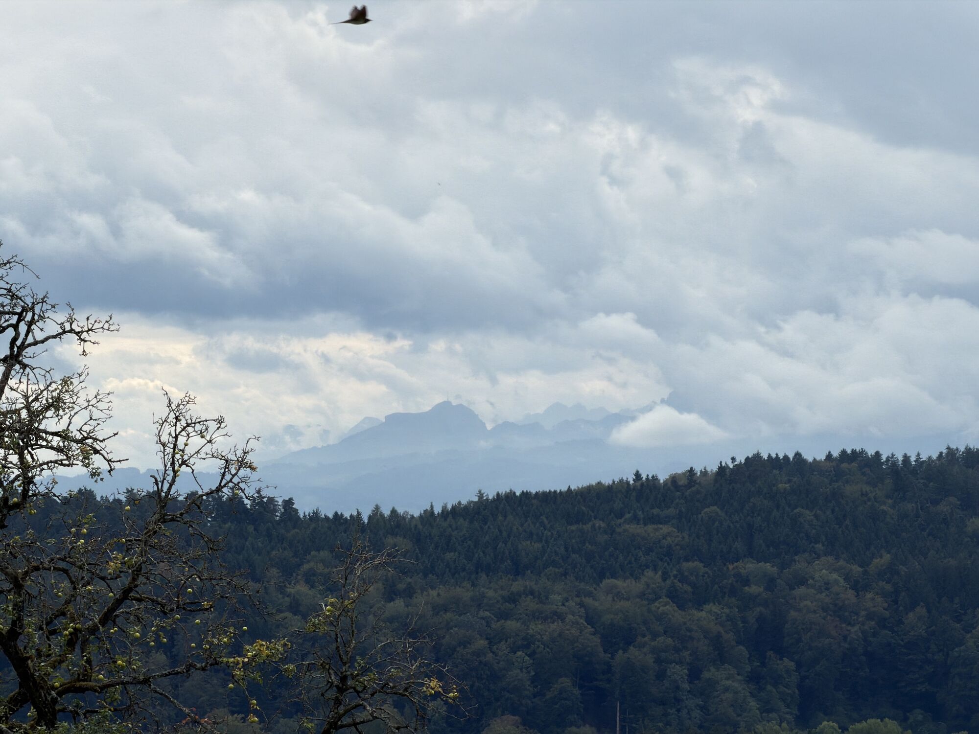
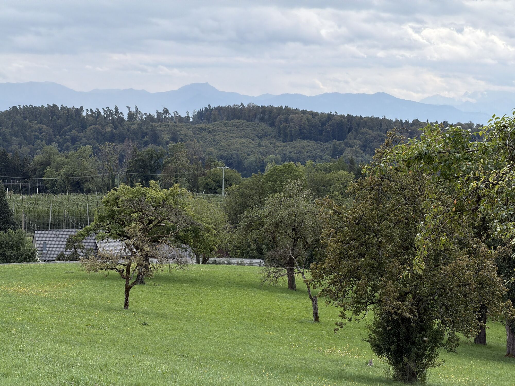
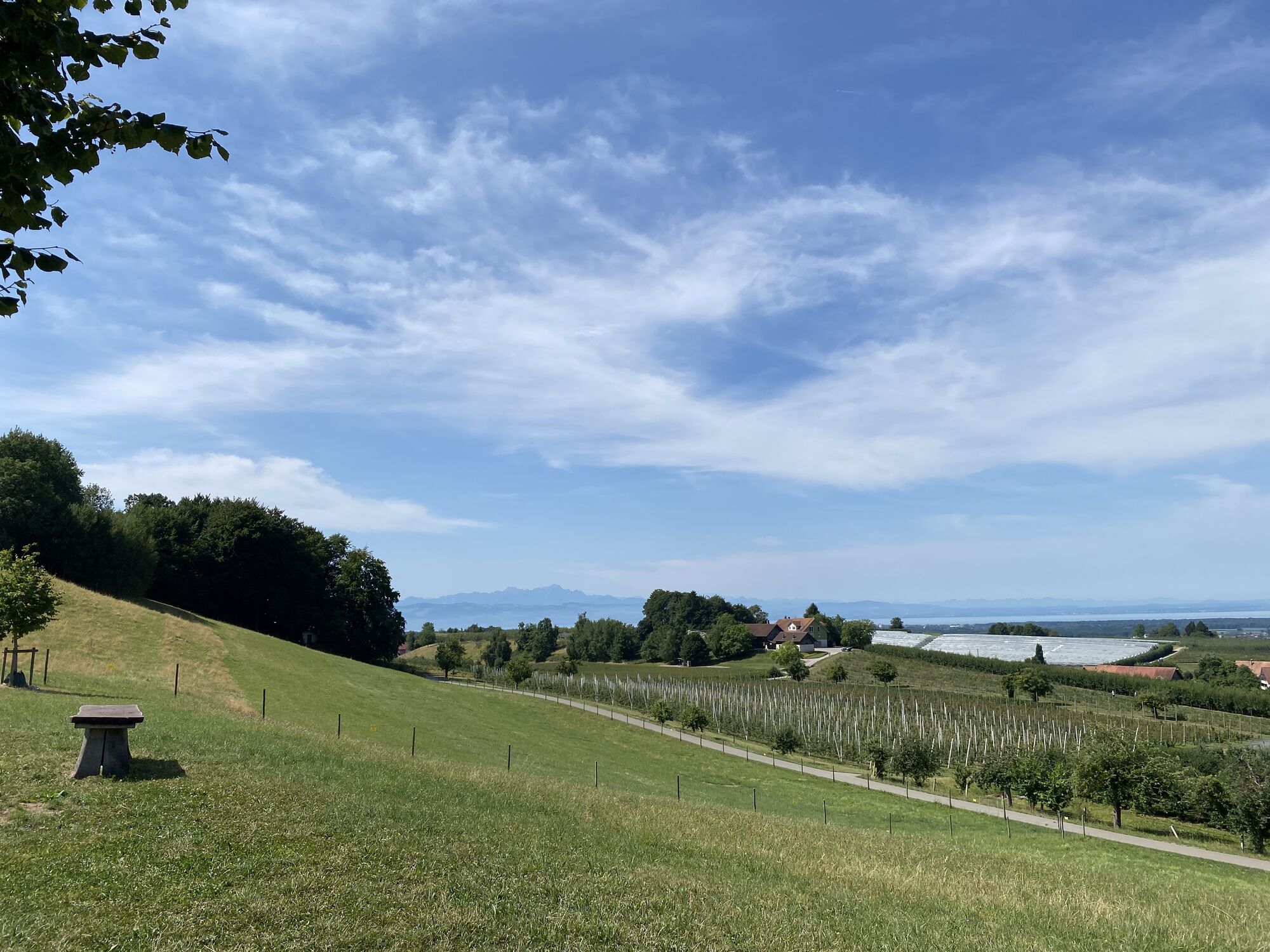
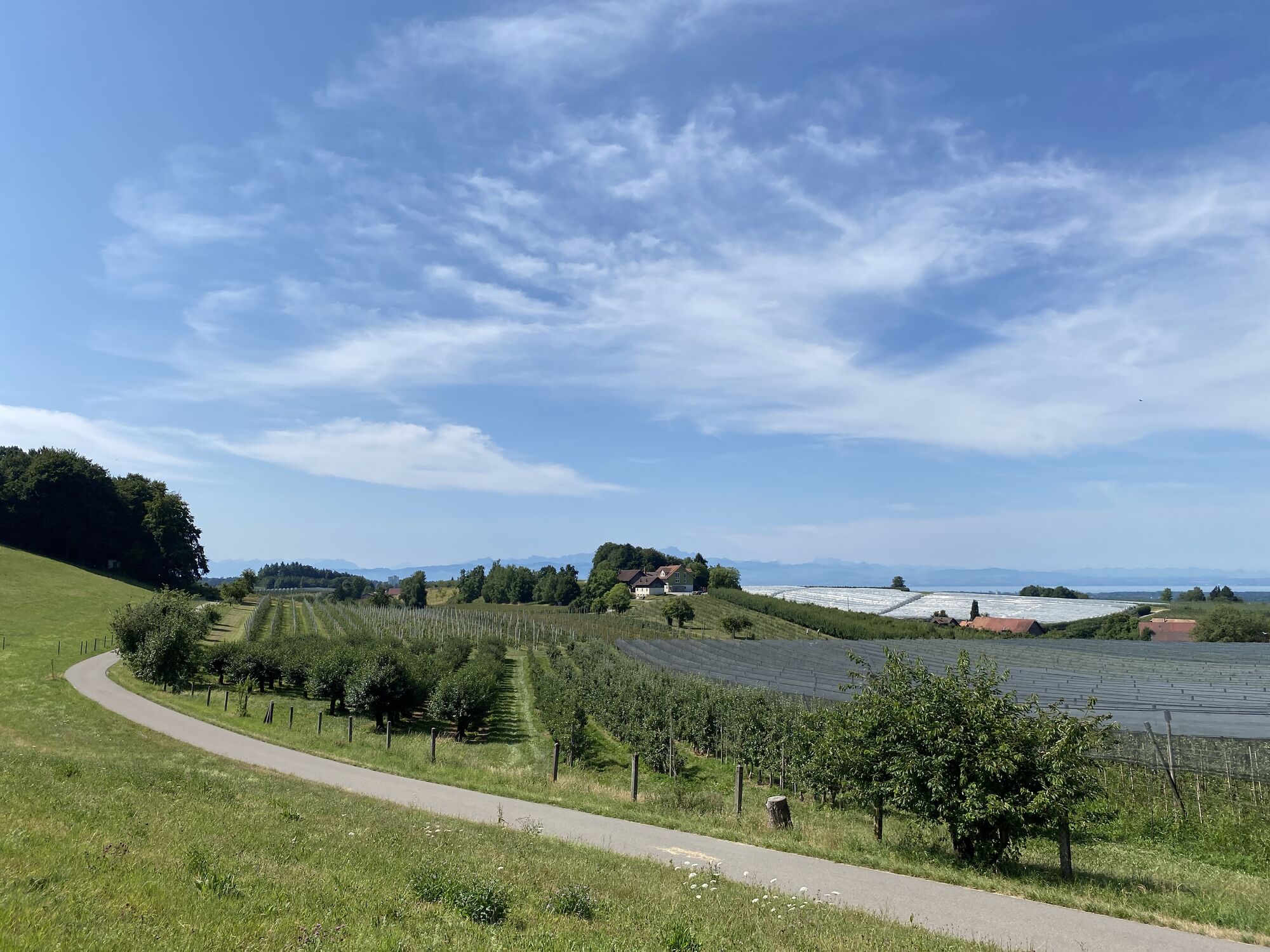
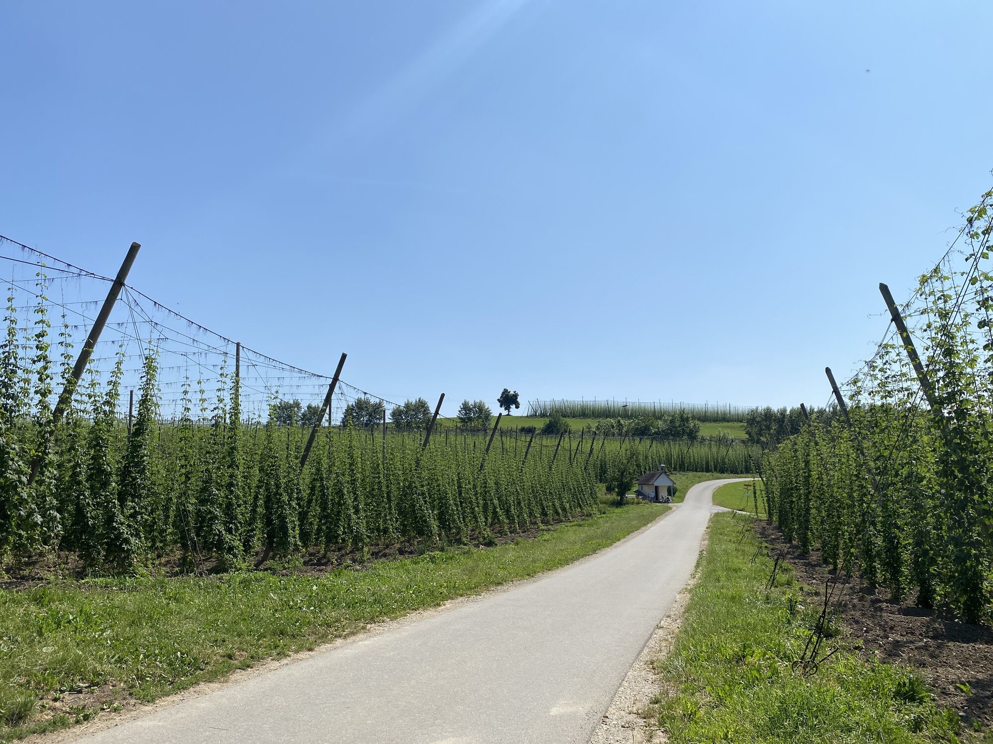
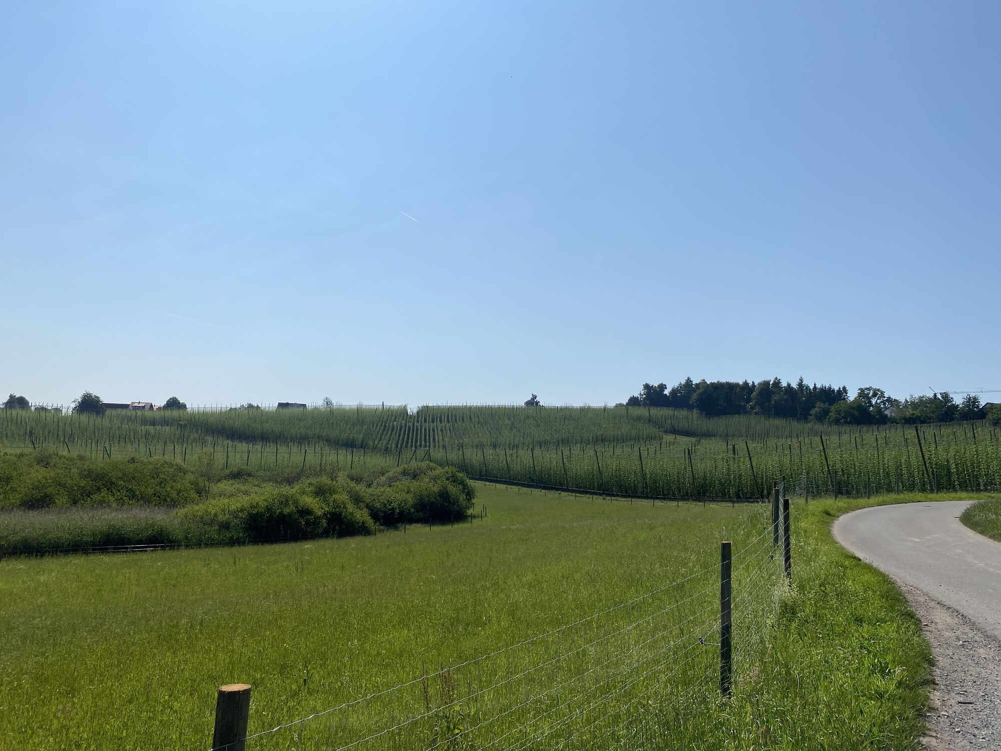
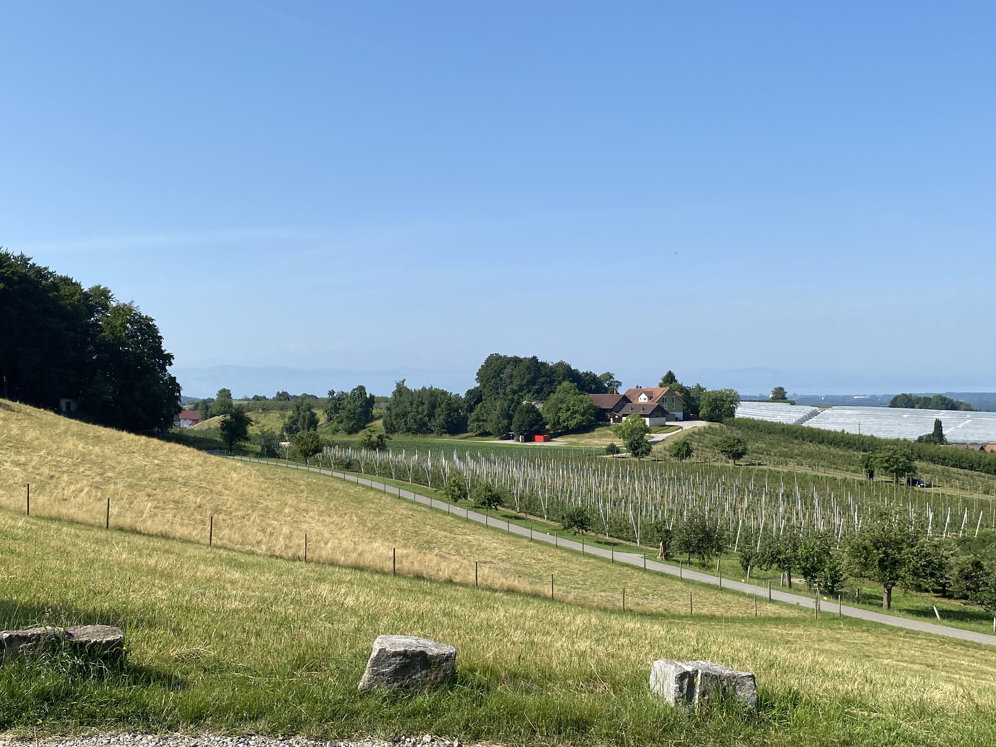
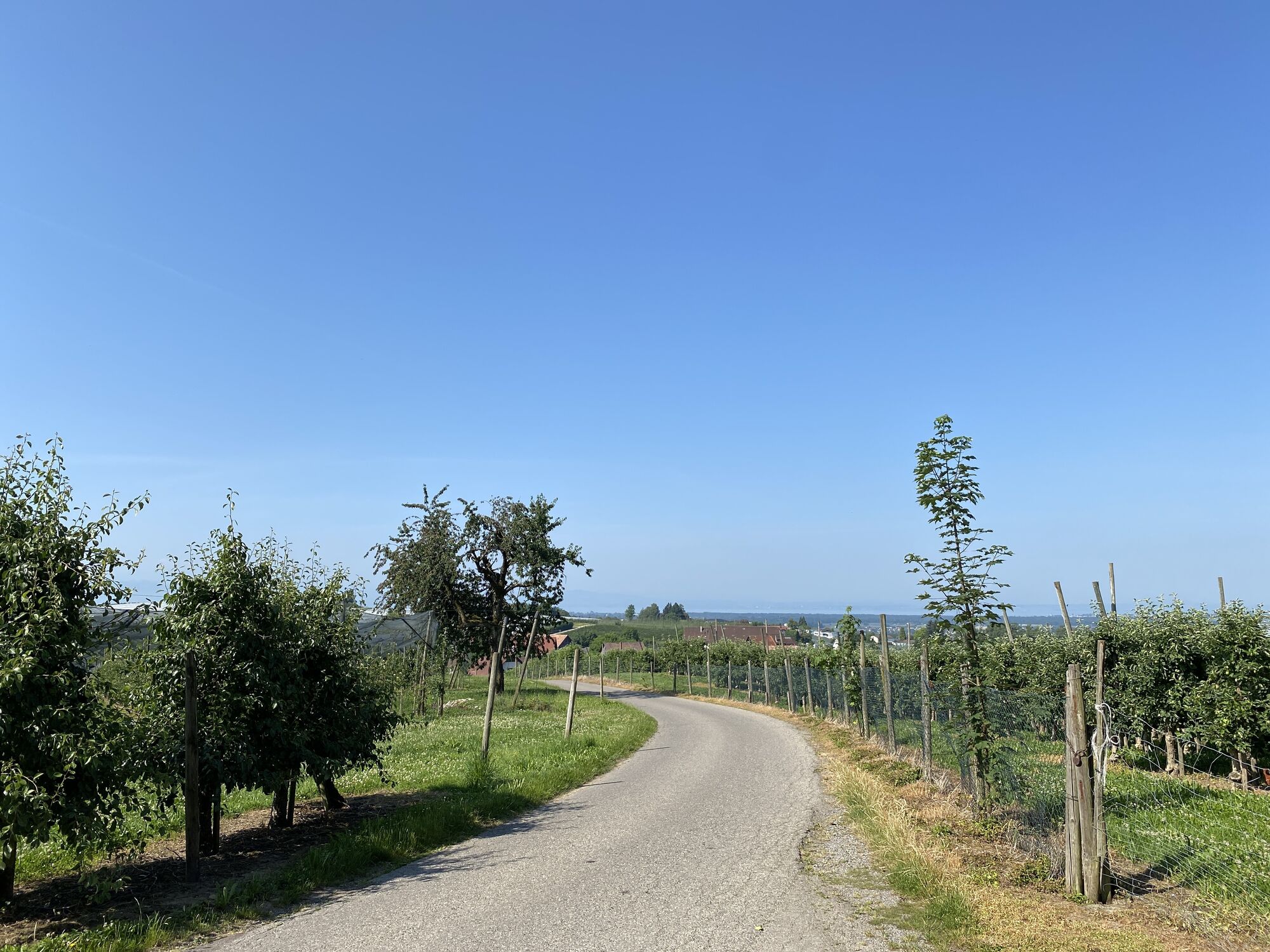
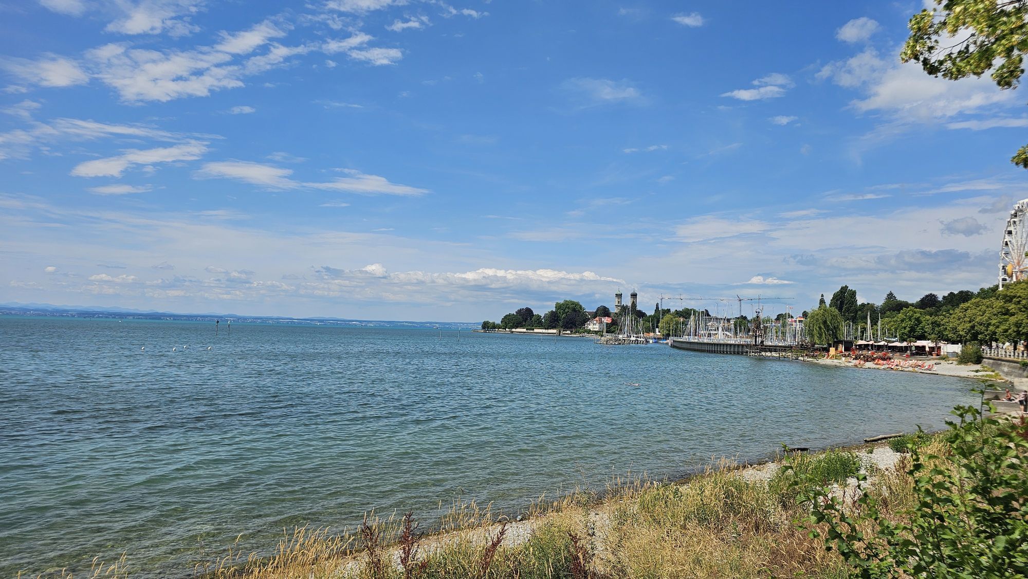
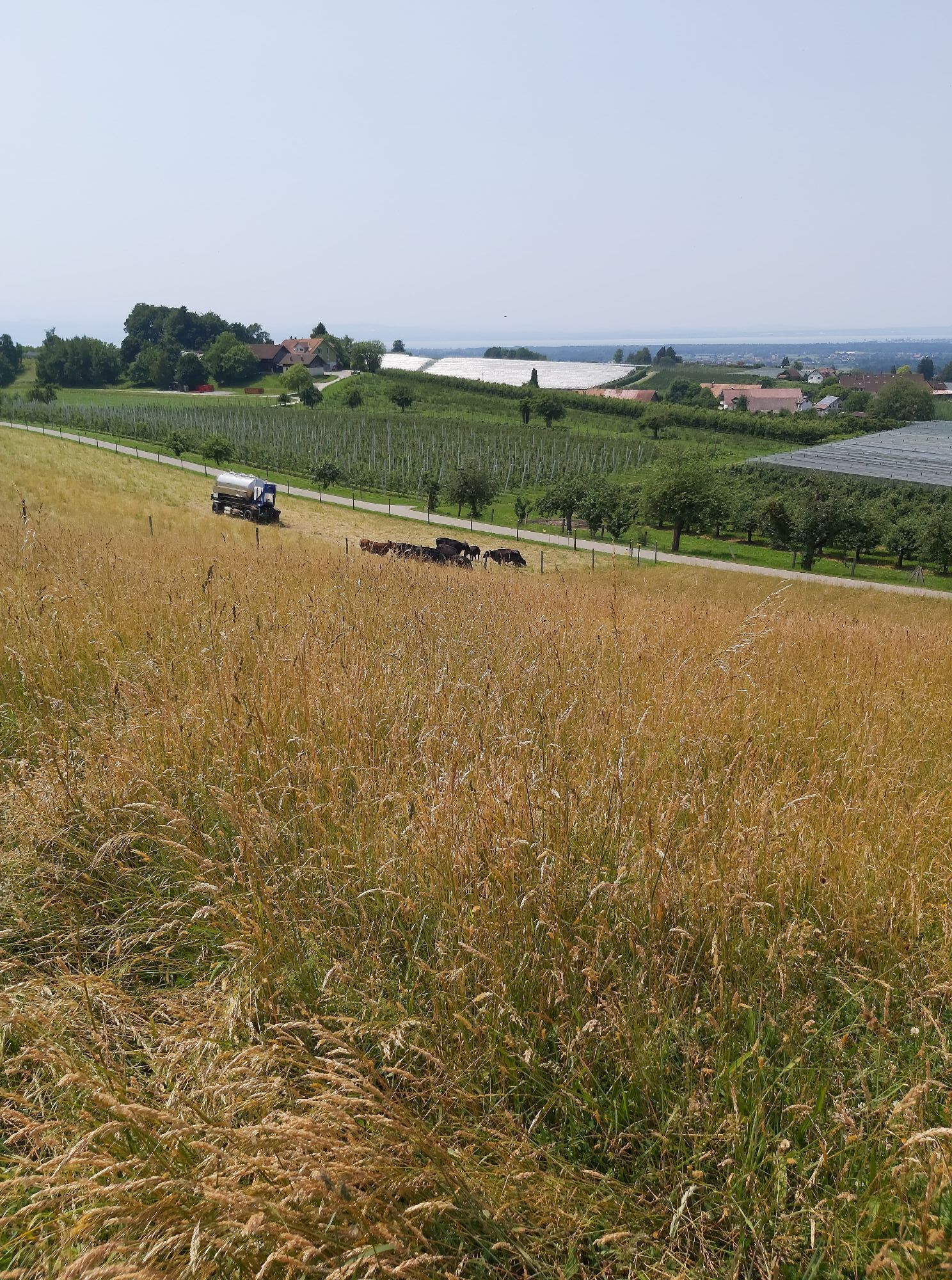
You leave Friedrichshafen through the Riedlepark, past the Zeppelindorf, a former workers' settlement where a house now serves as a museum, in the direction of Ailingen. Here the orchards, fields and meadows begin. Through small villages, the path continues via Meckenbeuren to a popular spot between Dieglishofen and Brünnensweiler. Here, a dreamy view opens up to you over Tettnang and the entire panorama of Lake Constance. Stop for a moment and enjoy your personal moment of indulgence with this view. A detour will take you to Hopfengut N°20 with its museum, brewery, shop and restaurant. Further along the trail, you can discover the chapel on the Brünnensweiler Höhe, where another beautiful panoramic view awaits you.

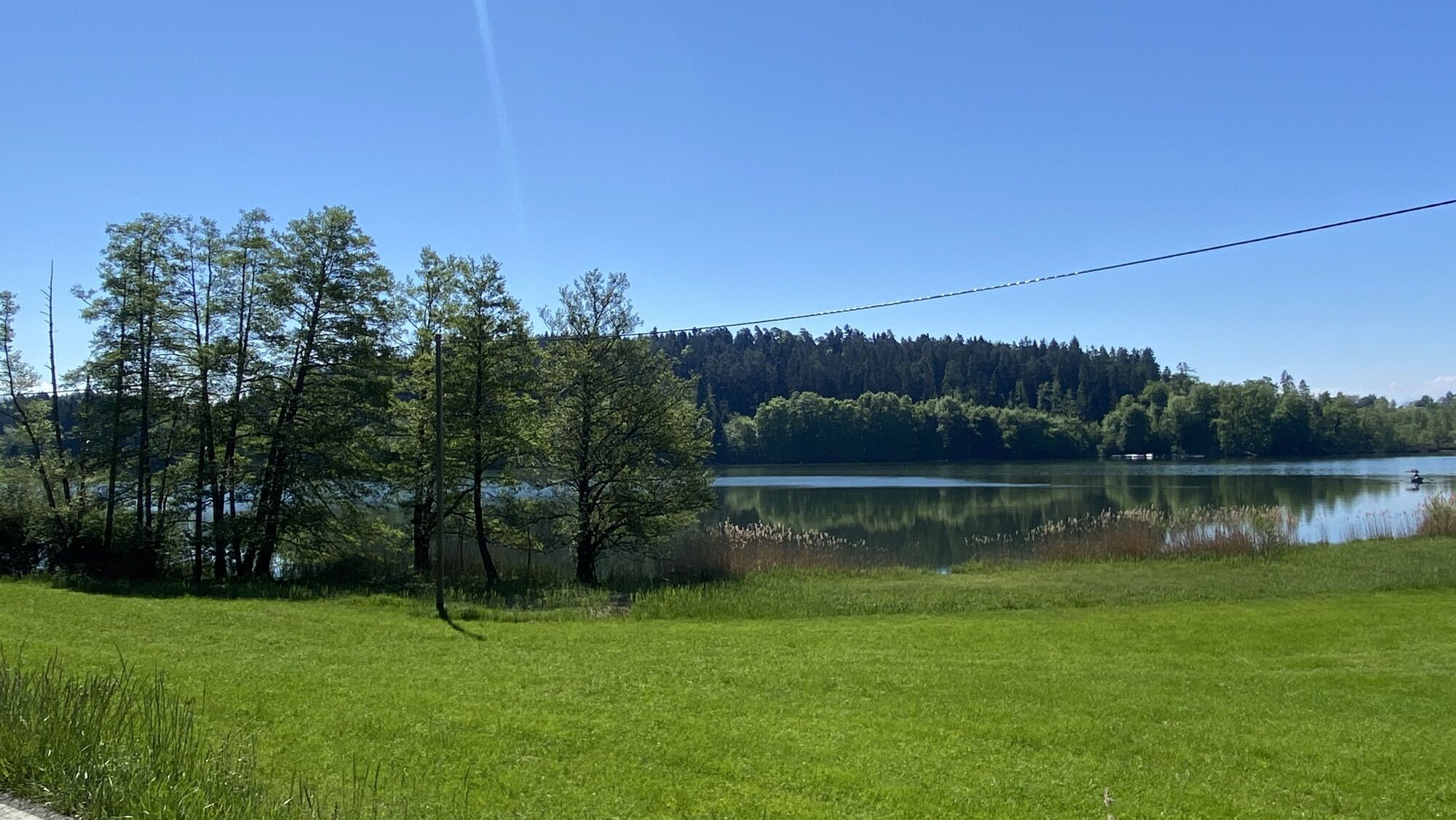
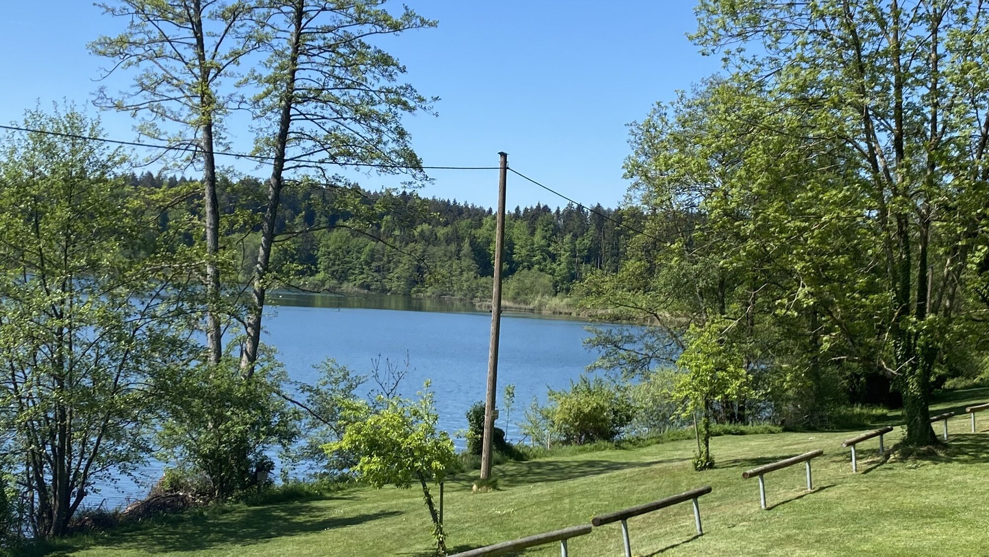
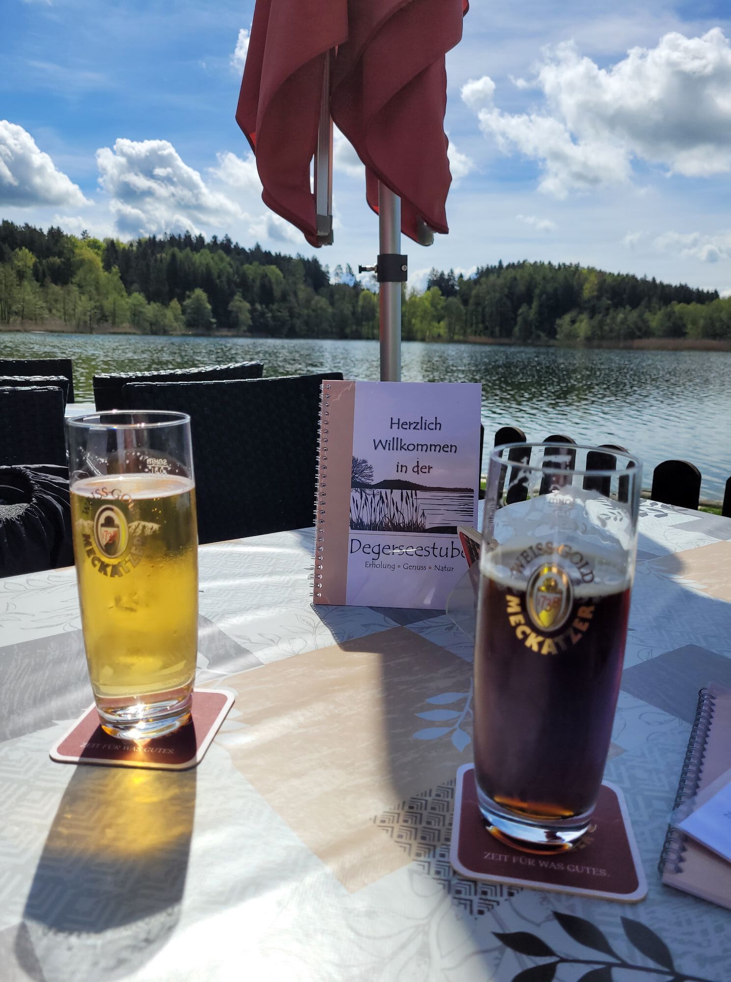
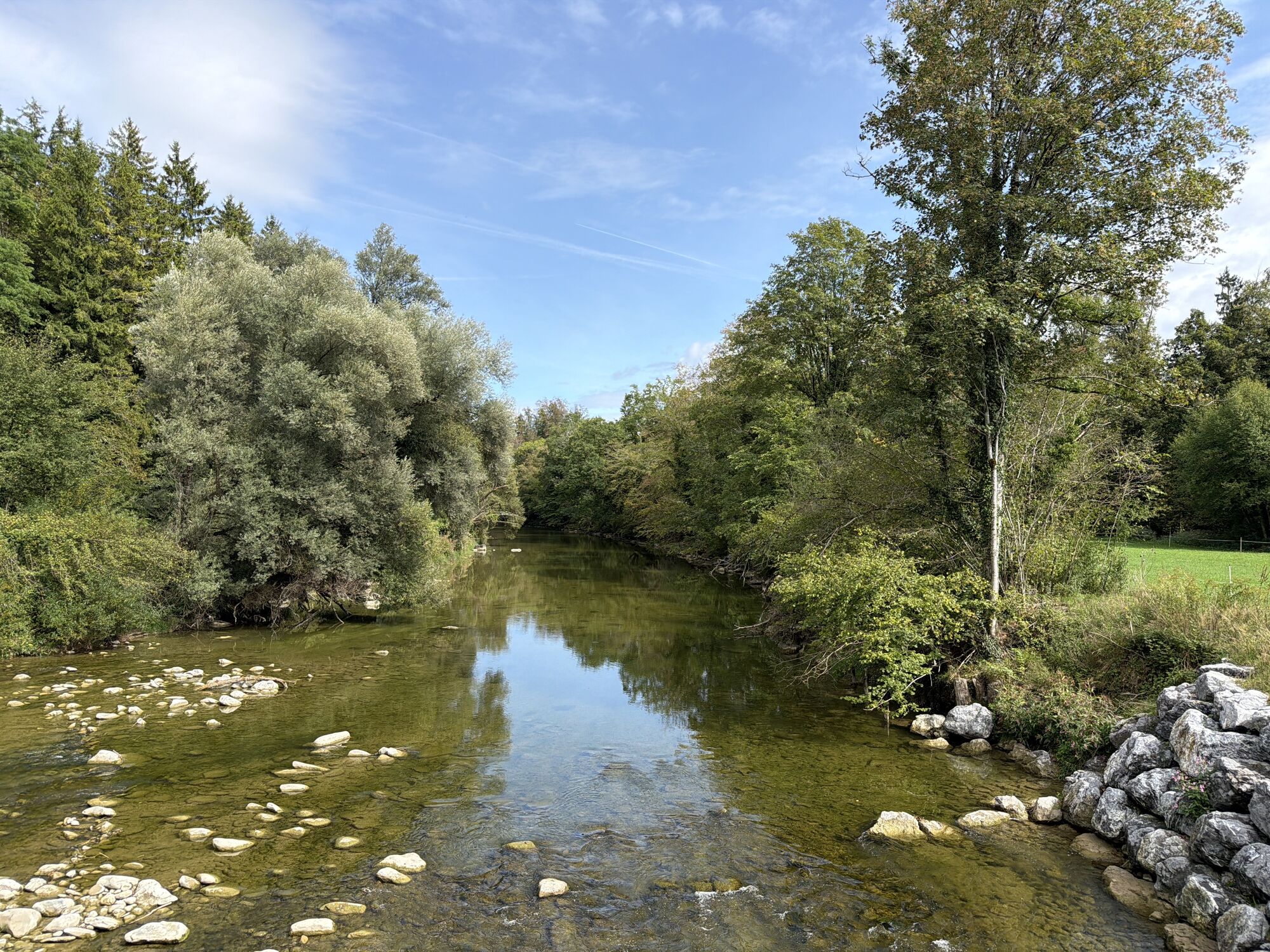
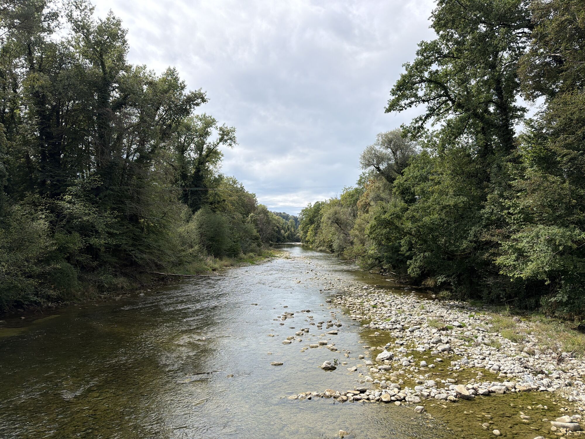
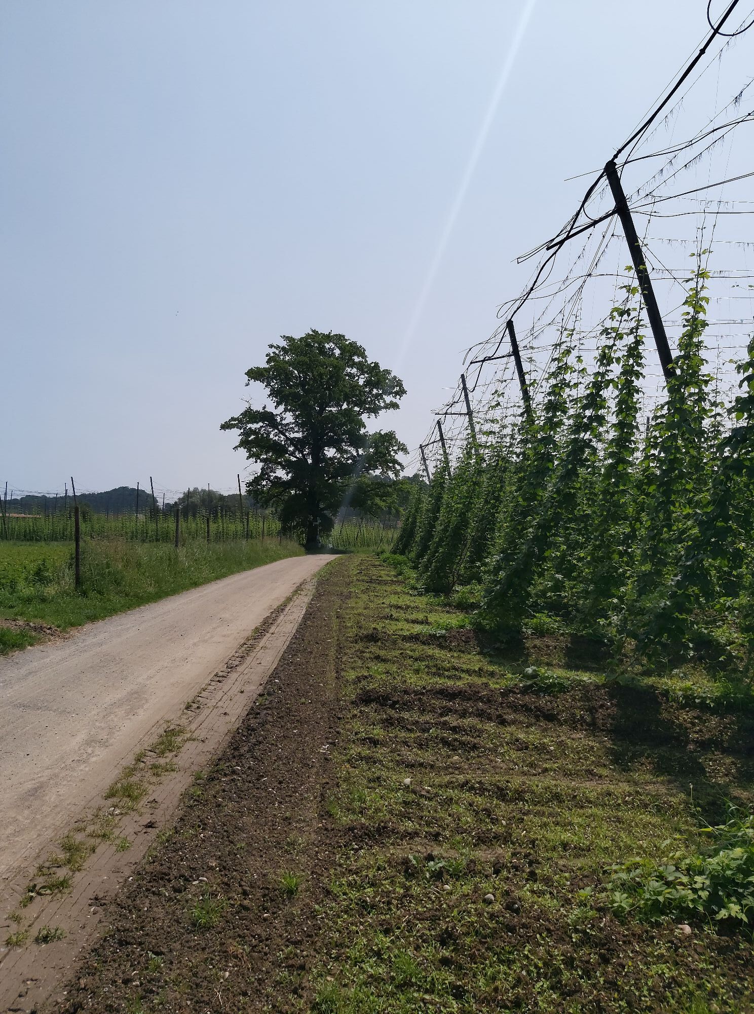
Through small valleys and over gentle hills, the route leads through rural tranquillity to Dietmannsweiler. There, the Brauereigasthof Schöre awaits you with regional specialities, a large playground, a cosy beer garden and its own chapel. The tour continues via Gebhardsweiler, Rappertsweiler and right via Wellmutsweiler to Badhütten. There you cycle towards the Argen and cross the suspension bridge. Through small villages you reach another highlight: the Degersee lake in the midst of green forests and meadows. In summer you can refresh yourself in the cool water of the lake. Passing the Schleinsee lake, you will reach the Gießenbrücke bridge. A detour leads you to a spacious barbecue area on the eastern side of the Argen. Continue over the bridge through the Tettnang forest straight ahead to Schussenreute. A ride over the historic wooden bridge at Oberbaumgarten takes you into the Seewald forest and further back to Friedrichshafen.

Trasa
Friedrichshafen
(400 m)
Mesto
0,6 km
Apflau
(435 m)
Zúčtovanie
16,1 km
Pfarrkirche St. Dionysius
(498 m)
Miesto uctievania
22,2 km
St. Anna
(516 m)
Miesto uctievania
31,9 km
Tettnang
(466 m)
Mesto
37,6 km
St. Maria
(420 m)
Miesto uctievania
41,2 km
Kleine Kirche
(439 m)
Miesto uctievania
49,0 km
Trasa
Mapa
From Friedrichshafen to the Tettnang countryside with hops and house chapel
stredná
Cyklistika
54,33 km
Friedrichshafen
(400 m)
Mesto
0,6 km
Oberbaumgarten
(410 m)
Zúčtovanie
4,9 km
Dillmannshof
(410 m)
Zúčtovanie
6,0 km
Wolfzennen
(408 m)
Dedina
6,4 km
Langenacker
(412 m)
Zúčtovanie
6,9 km
Schussenreute
(411 m)
Zúčtovanie
7,9 km
Mückle
(432 m)
Zúčtovanie
11,5 km
Zum Zollhaus
(430 m)
Reštaurácia
12,7 km
Gießenbrücke
(428 m)
Zúčtovanie
12,7 km
Untere Weiden
(422 m)
Koridor/terén
14,3 km
Brühl
(431 m)
Koridor/terén
15,9 km
Apflau
(435 m)
Zúčtovanie
16,1 km
Il Bracciante… e il villico
(436 m)
Reštaurácia
16,3 km
Unterwolfertsweiler
(470 m)
Zúčtovanie
17,3 km
Schleinsee
(487 m)
Zúčtovanie
18,2 km
Mindles Jergenwinkel
(480 m)
Koridor/terén
18,6 km
Wielandsweiler
(484 m)
Zúčtovanie
19,0 km
Gasthaus Traube
(489 m)
Reštaurácia
19,0 km
Busenhaus
(492 m)
Zúčtovanie
20,1 km
Degerseestube
(483 m)
Reštaurácia
20,8 km
Degersee
(485 m)
Zúčtovanie
20,8 km
Seewiesen
(518 m)
Koridor/terén
21,2 km
Oberwolfertsweiler
(493 m)
Zúčtovanie
21,6 km
Pfarrkirche St. Dionysius
(498 m)
Miesto uctievania
22,2 km
Hiltensweiler
(501 m)
Dedina
22,2 km
Oberlangnau
(459 m)
Dedina
22,9 km
Unterlangnau
(453 m)
Zúčtovanie
23,4 km
Badhütten
(446 m)
Zúčtovanie
24,1 km
Wellmutsweiler
(463 m)
Zúčtovanie
25,2 km
Rappertsweiler
(493 m)
Zúčtovanie
25,8 km
Gebhardsweiler
(487 m)
Zúčtovanie
27,2 km
Bollenhalde
(499 m)
Koridor/terén
27,3 km
Brauereigasthof Schöre
(529 m)
Reštaurácia
28,0 km
Dietmannsweiler
(527 m)
Zúčtovanie
28,1 km
Alberweiler
(552 m)
Zúčtovanie
29,0 km
Notzenhaus
(563 m)
Zúčtovanie
30,5 km
Flockenbach
(518 m)
Zúčtovanie
31,6 km
St. Anna
(516 m)
Miesto uctievania
31,9 km
Enzisweiler
(489 m)
Zúčtovanie
32,2 km
Gasthof Hirsch bei Kati
(489 m)
Reštaurácia
33,4 km
Obereisenbach
(492 m)
Dedina
33,4 km
Herrgottsweiler
(563 m)
Zúčtovanie
35,0 km
Brünnensweiler
(575 m)
Zúčtovanie
35,9 km
Aussichtspanorama am Hopfenpfad
(549 m)
Uhol pohľadu
36,5 km
Dieglishofen
(512 m)
Zúčtovanie
37,2 km
Tettnang
(466 m)
Mesto
37,6 km
Irrmannsberg
(505 m)
Zúčtovanie
37,7 km
Kaltenberg
(499 m)
Zúčtovanie
37,9 km
Höll
(469 m)
Zúčtovanie
38,7 km
Spießäcker
(461 m)
Koridor/terén
39,4 km
Obermeckenbeuren
(433 m)
Susedstvo
40,0 km
Halde
(427 m)
Susedstvo
40,9 km
Spielplatz Arnold Böcklin Straße
(422 m)
Detské ihrisko
41,0 km
St. Maria
(420 m)
Miesto uctievania
41,2 km
Meckenbeuren
(418 m)
Mesto
41,6 km
Locher I
(412 m)
Susedstvo
43,0 km
Brochenzell
(412 m)
Susedstvo
43,0 km
Ettenkirch
(466 m)
Dedina
45,6 km
Waltenweiler
(467 m)
Susedstvo
46,0 km
Habratsweiler
(455 m)
Zúčtovanie
47,0 km
Peters Restaurant
(441 m)
Reštaurácia
48,6 km
Ailingen
(439 m)
Dedina
48,8 km
Kleine Kirche
(439 m)
Miesto uctievania
49,0 km
Bunkhofen
(416 m)
Susedstvo
49,9 km
St. Blasius-Kapelle
(415 m)
Miesto uctievania
51,5 km
Meistershofen
(414 m)
Susedstvo
51,5 km
Schmitthennersiedlung
(412 m)
Susedstvo
51,8 km
Zeppelindorf
(417 m)
Susedstvo
51,9 km
Friedrichshafen
(400 m)
Mesto
53,9 km
Informácie o prehliadke

A panoramic bike tour in the beautiful natural landscape around Tettnang along lush hop gardens to natural lakes that invite you to relax. Impressive views of the panorama of Lake Constance make this tour an unforgettable experience.

Technológia
n.a.
Stav
2 / 6
Krajina
5 / 6
Skúsenosti
n.a.
Najlepšie ročné obdobie
Jan
Feb
Mar
Apr
Máj
Jún
Júl
Aug
Sep
Okt
Nov
Dec
Autor
Poskytuje Tourist-Information Friedrichshafen
Zdieľať prehliadku
Mapa
From Friedrichshafen to the Tettnang countryside with hops and house chapel
stredná
Cyklistika
54,33 km
Chyba
Vyskytla sa chyba. Prosím, skúste to znova.
Informácie o príchode
Parkovanie

The following parking facilities are available in the immediate vicinity:

Parking garage "Am Stadtbahnhof", Franziskusplatz 4

Parking garage SEE.STATT, Bahnhofplatz 1-3

Underground car park Graf-zeppelin-Haus, Olgastrasse 20

Ďalšie informácie a tipy
Tipy

A detour to Hopfengut N°20, a wonderful view from the Brünnensweiler vantage point and a delicious snack with a glass of Schöre beer at Brauereigasthof Schöre with its own house chapel.

Turistika a stopovanie

Turistika a stopovanie

Turistika a stopovanie
Viac ako 550.000 návrhov výletov, podrobné mapy a intuitívny plánovač trás robia z aplikácie povinnú výbavu pre všetkých nadšencov prírody.
bergfex