


Randen circuit
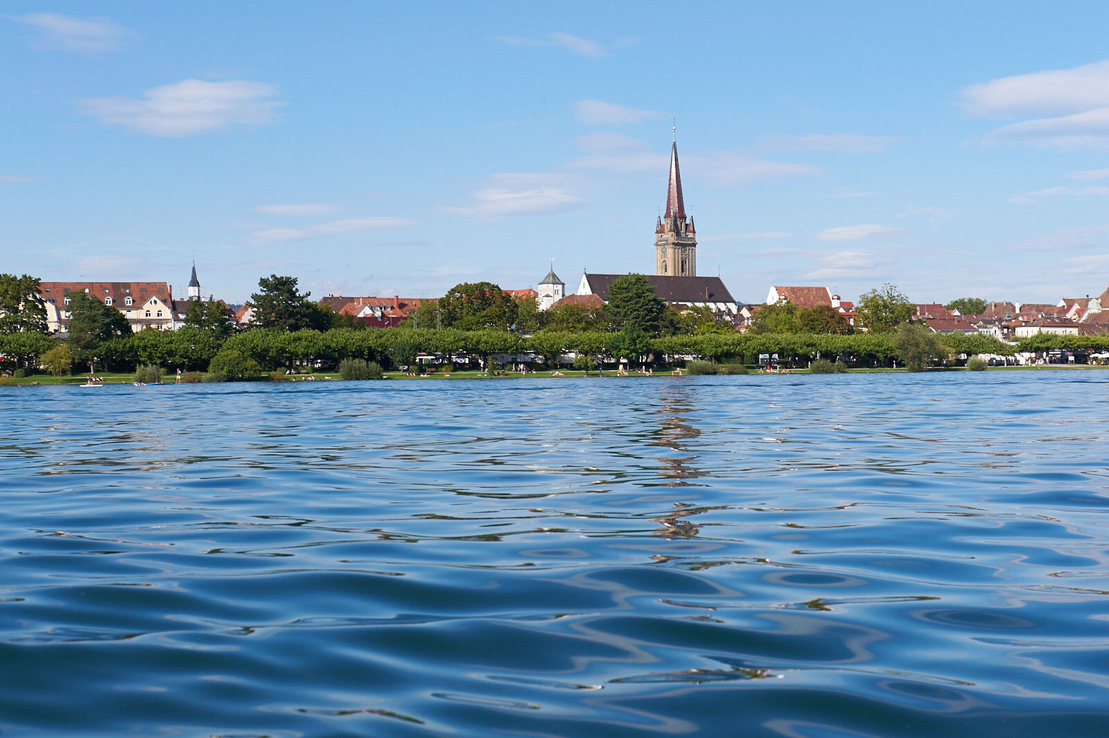
The Randen is located north of Schaffhausen. On the route, you will cross the German-Swiss border several times and can enjoy the view over the beautiful landscape from above.
The route is 93 kilometers...
The Randen is located north of Schaffhausen. On the route, you will cross the German-Swiss border several times and can enjoy the view over the beautiful landscape from above.
The route is 93 kilometers long with a max. 15% incline and 1,050 meters of elevation gain.

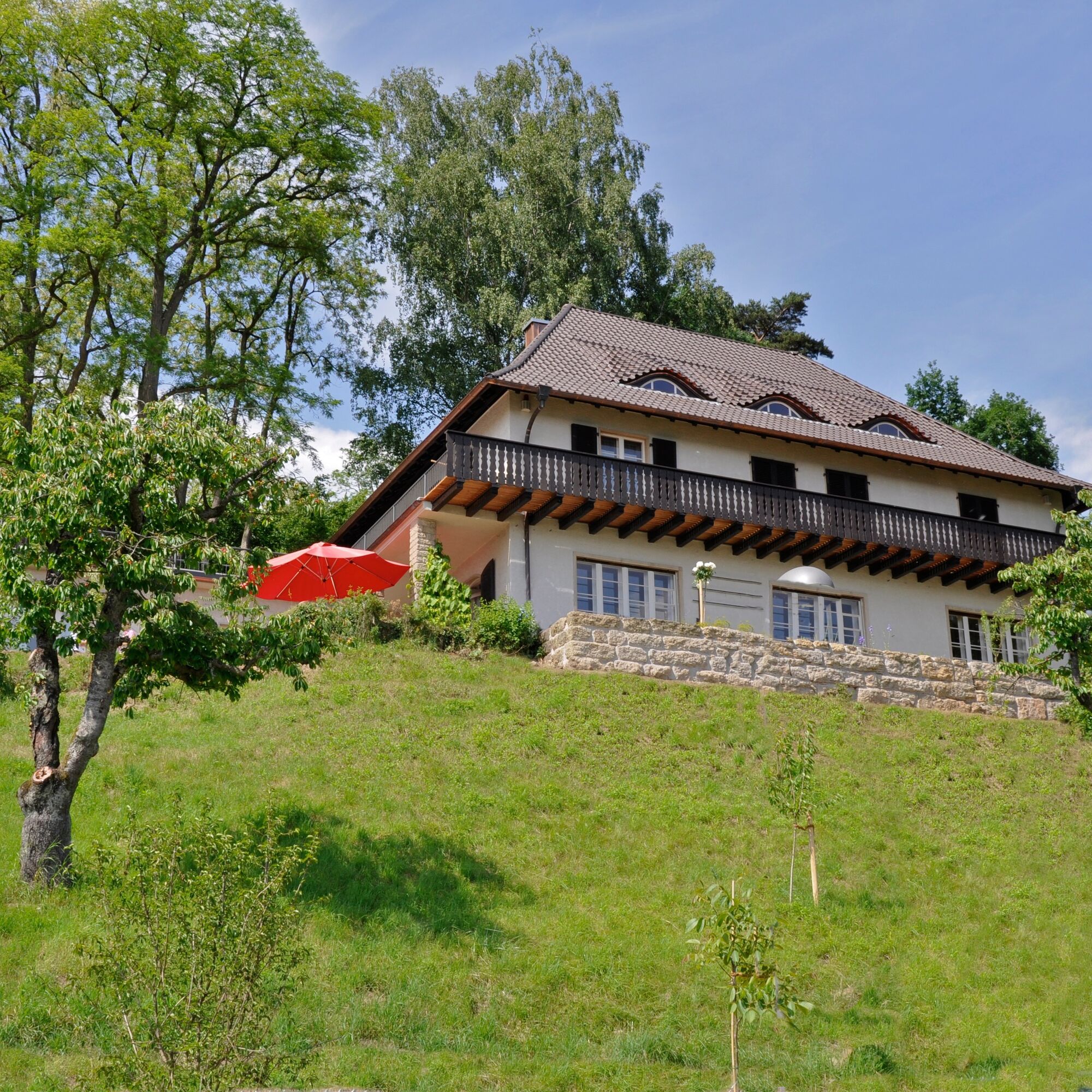


Starting from Radolfzell, you ride on the pedestrian and cycle path towards Moos and then on to Iznang. At the entrance to Iznang, turn right uphill to Weiler and continue from there to Gaienhofen. Upon arrival, turn right and follow the Lake Constance cycle path / Rhine Valley cycle path via Hemmishofen to Öhningen-Wangen. In the center of Wangen, turn right and follow the small road "Zum Schienerberg" to Schienen.
In Schienen, follow Schienerbergstraße for about 200 m, then turn left onto Waldheimstraße. After the inn, ride 2.8 km downhill on the natural road, keeping right. Pass the Litzelshauser farms to Waldheim. Turn left there and shortly after take two more lefts, then follow the small road to Hemishofen.
In Hemishofen, after the railway tracks, turn left onto the main road and after about 450 m turn right onto the Rhine valley cycle path. At the Bibermühle junction, turn right towards Ramsen. Follow the main road there to Gailingen. Continue from Gailingen towards Büsingen. Then from Büsingen via Herblingen, Stetten, Lohn to Opfertshofen. At the end of Opfertshofen, turn left at the junction to Hofen and continue to Büßlingen. At the roundabout, turn left towards Engen and immediately right to Binningen, then turn left onto the Weiterdingen cycle route in the center. At the Weiterdingen junction, take the cycle path towards Duchtlingen, then left to Mühlhausen. From Mühlhausen towards Singen, at the roundabout turn left towards Volkertshausen, then immediately take two rights and follow the cycle path to Hausen. In Hausen, turn right onto "Zur Sulz" and immediately left onto the village street. Follow this to Friedingen. Go straight on here to Beurenerstraße, then left and immediately right onto the cycle route via Steißlingen back to Radolfzell to the starting point.
A bicycle helmet, sufficient drinks, and provisions should always be with you.
Part of the route goes over gravel paths.
The approximately 3 km long gravel section can be bypassed by turning left in Schienen and riding downhill to Öhningen. Upon arriving in Öhningen, turn right towards Stein am Rhein and from there to Hemishofen.
Radolfzell train station
Friedrich Werber Street car park
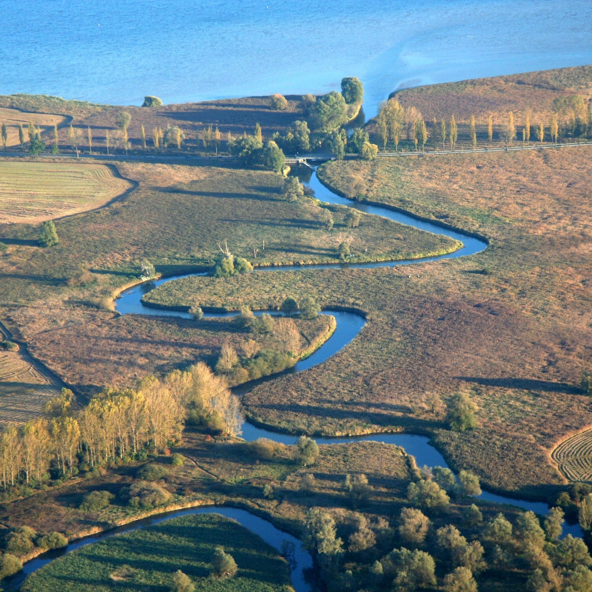
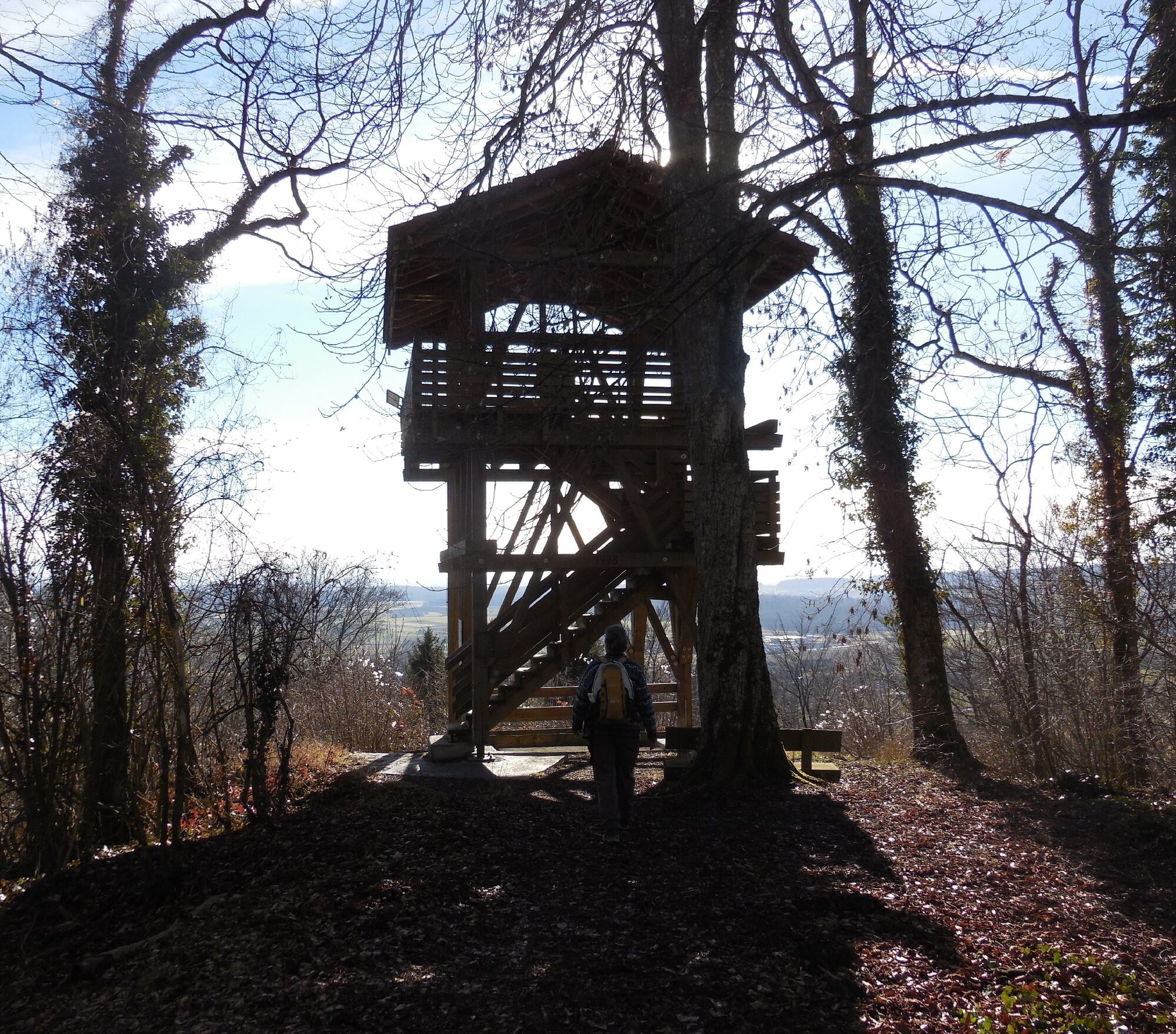
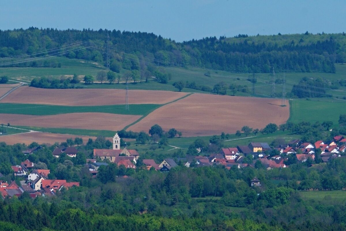
Enjoy the panorama on the Randen plateau and the beautiful view from Mägdeberg between Duchtlingen and Mühlhausen.
Obľúbené výlety v okolí
-
5,0
Mindelsee-Runde
svetloTuristika 7,83 km -
Hike on the panorama route of the Höri Peninsula
strednáTuristika 8,11 km -
4,0
Circular hike Gaienhofen-Middle Höri
strednáTuristika 12,6 km -
4,5
Mühlsberg route
strednáTuristika 8,67 km -
3,7
Firstweg Langenmos
strednáTuristika 5,76 km -
2,8
"Hegauer Kegelspiel" Hewensteig
strednáTuristika 6,23 km -
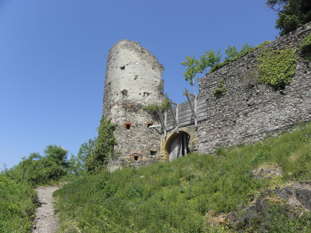
Stein am Rhein - Hohenklingen Castle - Stein am Rhein
strednáTuristika 7,79 km -
5,0
"Hegauer Kegelspiel" Hohentwieler
strednáTuristika 7,21 km -
Rundweg Mindelsee
strednáTuristika 13,3 km -
Aacher Geißbock
strednáTuristika 13,4 km

Turistika a stopovanie


Nenechajte si ujsť ponuky a inšpiráciu na ďalšiu dovolenku
Vaša e-mailová adresa bol pridaný do poštového zoznamu.