






Bodensee Megathlon Radolfzell Road Cycling Route

Úroveň náročnosti: 5
Almost 500 meters of elevation, over 45 km, in about 1.5 hours - these are the main data of the road cycling route for participants of the Bodensee Megathlon Radolfzell. Of course, you can take a little...
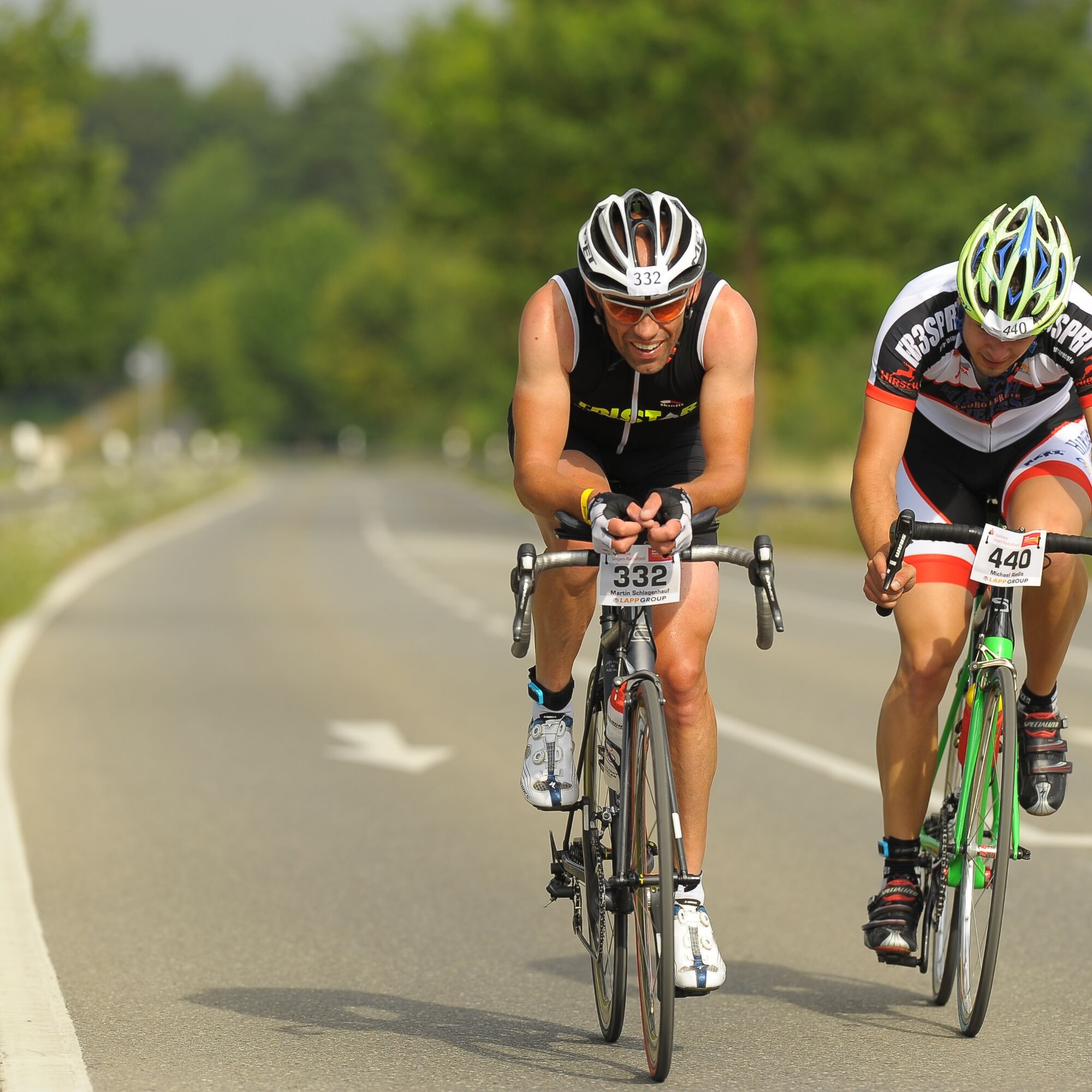
Almost 500 meters of elevation, over 45 km, in about 1.5 hours - these are the main data of the road cycling route for participants of the Bodensee Megathlon Radolfzell. Of course, you can take a little more time for the route, but otherwise, you cover the same course as the participants of the Megathlon. The course runs from the starting point in Radolfzell via Moos to Gaienhofen and then in a large loop through the forests on the Schiener Berg, before passing Rielasingen-Worblingen and returning to Radolfzell. A mostly flat course with two distinct climbs characterizes the route.


Áno
Don't forget appropriate clothing! Sun and rain protection, and above all a bicycle helmet, should always be with you. It is recommended to bring enough drinks and some provisions.
You unexpectedly cross the “green border” into Switzerland. Therefore, we recommend carrying an ID on all tours near Switzerland.
From Stuttgart via the A81 motorway, B33 new. From Ulm or via Ravensburg via federal roads B31 and B34.
From Nuremberg and Munich via the A96 motorway Memmingen, Kempten, Lindau, then continue on federal roads B31 and B34.
From Frauenfeld via the A7 to Kreuzlingen - Konstanz, then continue on federal road B33. From Stein am Rhein via country road L192. From Schaffhausen via E41/E54 to Thayngen, then continue on B34, then on the A81 towards Stuttgart and continue on B33 to Radolfzell exit.
In Radolfzell, follow the station signs. From the lake side of the station, follow Karl-Wolf-Straße towards the Yacht Club. Alternatively, coming from L220 (Zeppelinstr.), turn into Karl-Wolf-Str.
Direct connections to Radolfzell from Basel, Karlsruhe, and Friedrichshafen (IRE or RE). From Stuttgart, Ulm, Zurich, and Düsseldorf (ICE, IC, IRE, or RE), 1-2 transfers are necessary. Timetables available at www.bahn.de.
Parking lot Zeppelinstr/ junction Karl-Wolf-Straße or parking deck at the station, Friedrich-Werber-Straße.
5
For a great view of Lake Constance from above, after the village center of Gundholzen, take the first right turn and then another right into Weiler Straße. This small detour leads you to the water tower, which offers a good view.
Webové kamery z prehliadky

Obľúbené výlety v okolí
-
5,0
Mindelsee-Runde
svetloTuristika 7,83 km -
4,0
Around the island of Reichenau
svetloTuristika 10,9 km -
5,0
Hike on the panorama route of the Höri Peninsula
strednáTuristika 8,11 km -
4,0
Circular hike Gaienhofen-Middle Höri
strednáTuristika 12,6 km -
4,5
Mühlsberg route
strednáTuristika 8,67 km -
3,7
Firstweg Langenmos
strednáTuristika 5,76 km -
Stein am Rhein - Hohenklingen Castle - Stein am Rhein
strednáTuristika 7,68 km -
SchweizMobil 2: Rhine Route stage 6 (Kreuzlingen - Schaffhausen)
strednáCyklistika 47,0 km -
5,0
"Hegauer Kegelspiel" Hohentwieler
strednáTuristika 7,21 km -
5,0
From Konstanz around the island of Reichenau (Lake Constance)
strednáCyklistika 28,7 km
Turistika a stopovanie


Nenechajte si ujsť ponuky a inšpiráciu na ďalšiu dovolenku
Vaša e-mailová adresa bol pridaný do poštového zoznamu.





