







Premium Hiking Trail - Feldbergsteig
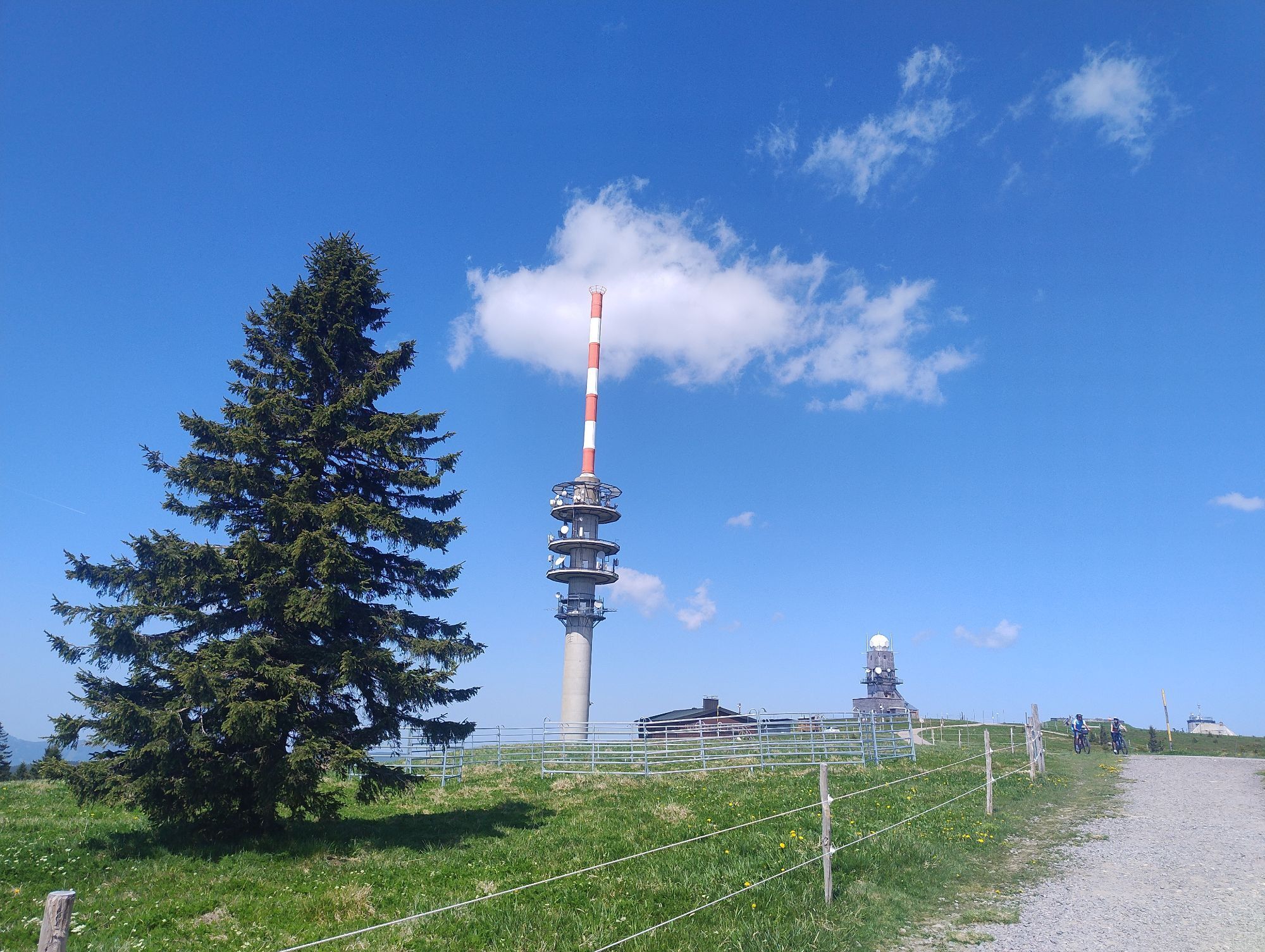
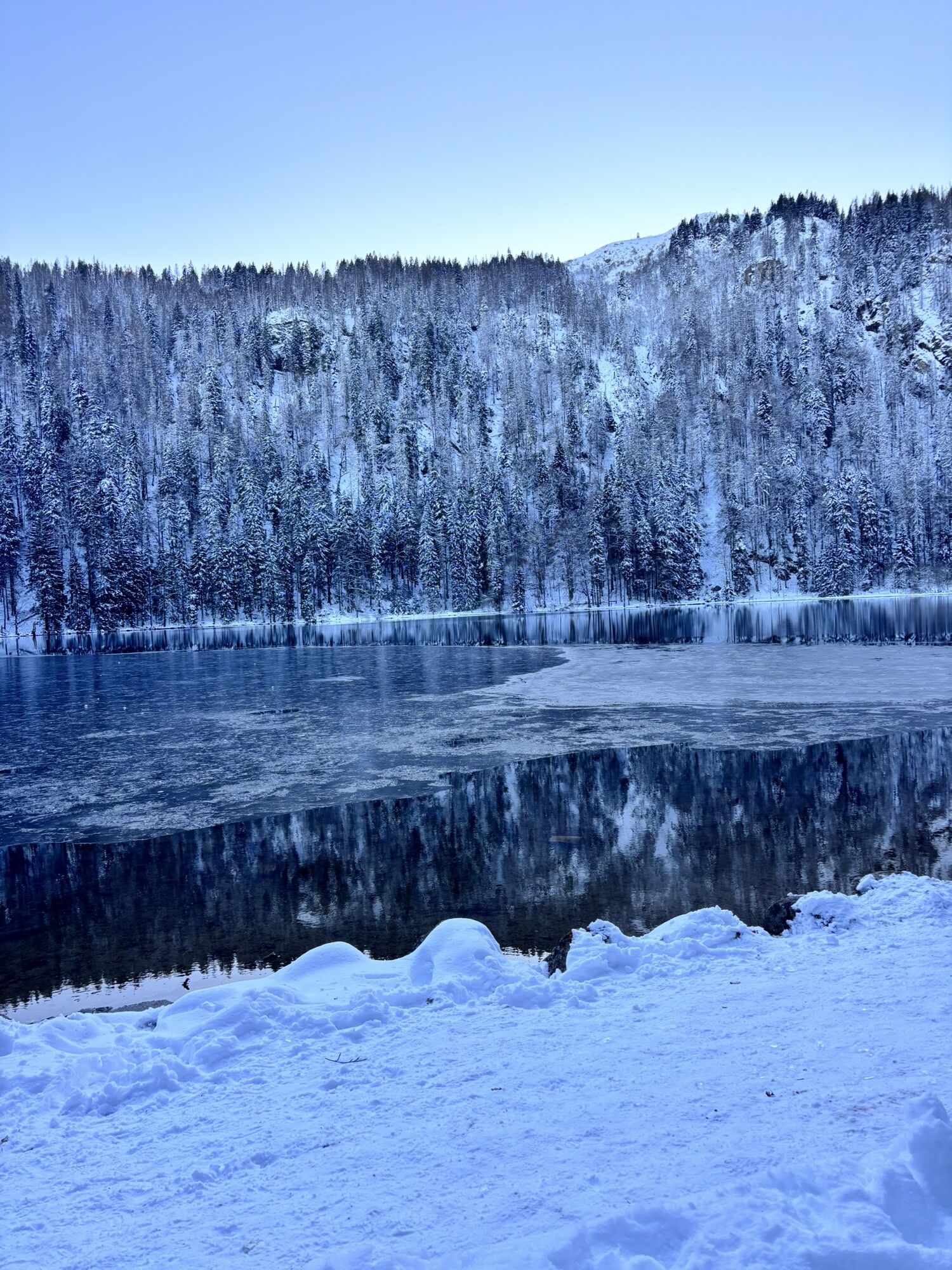
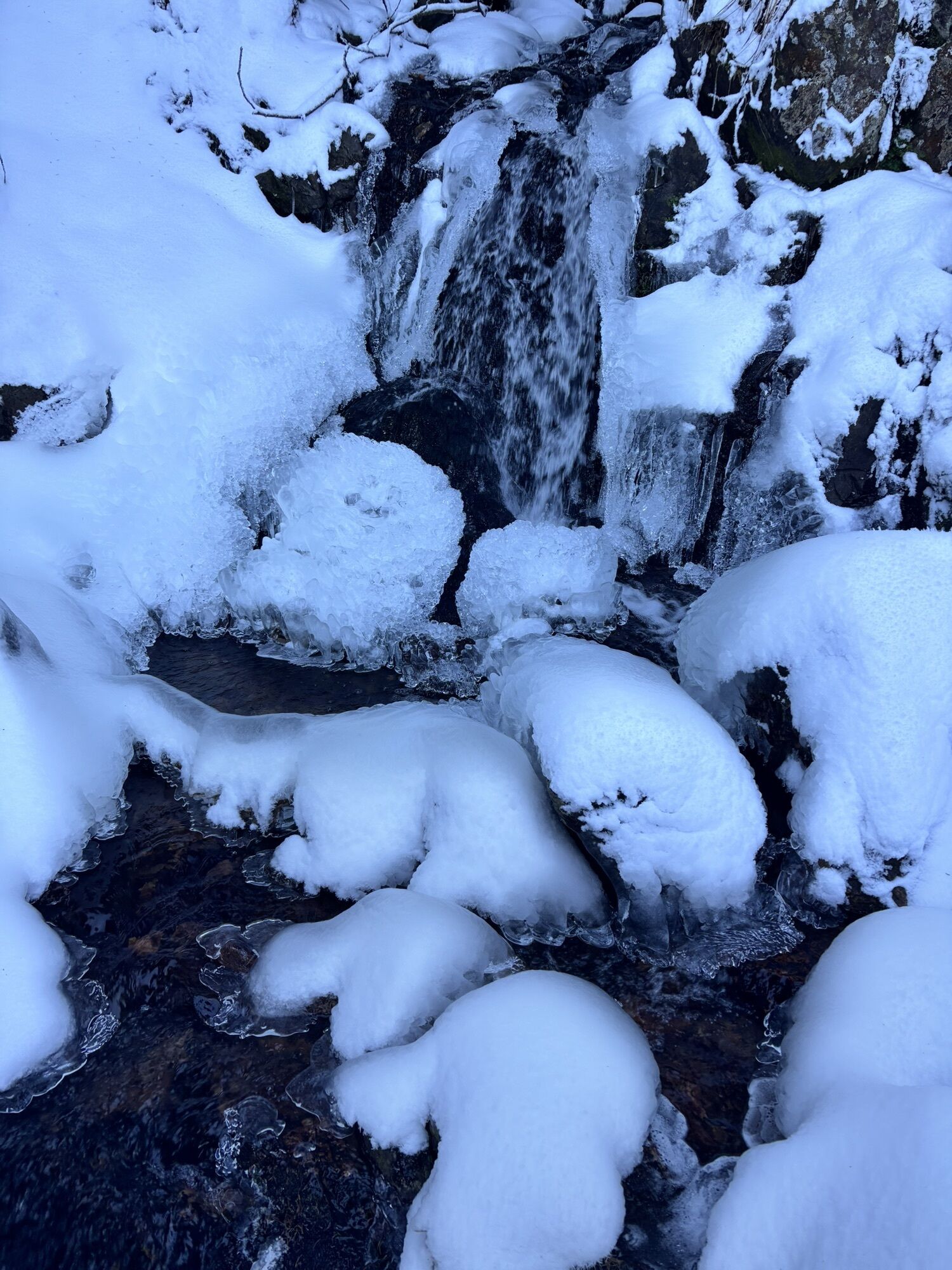
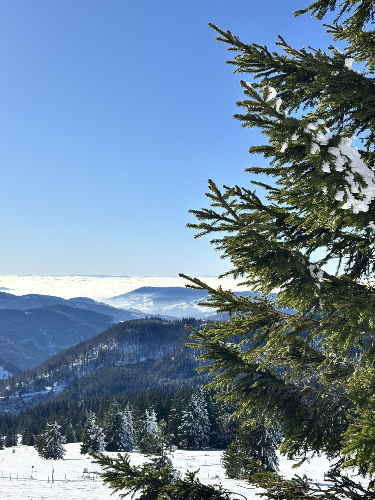
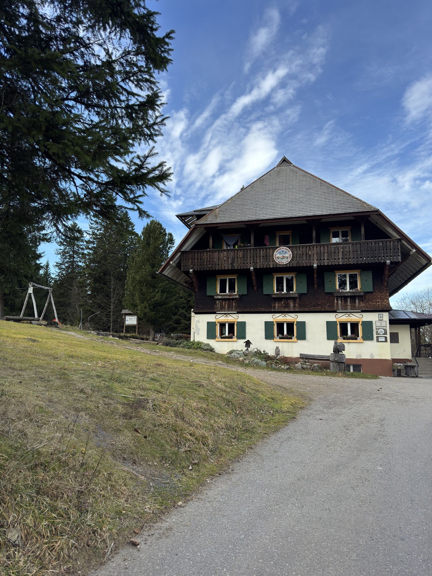
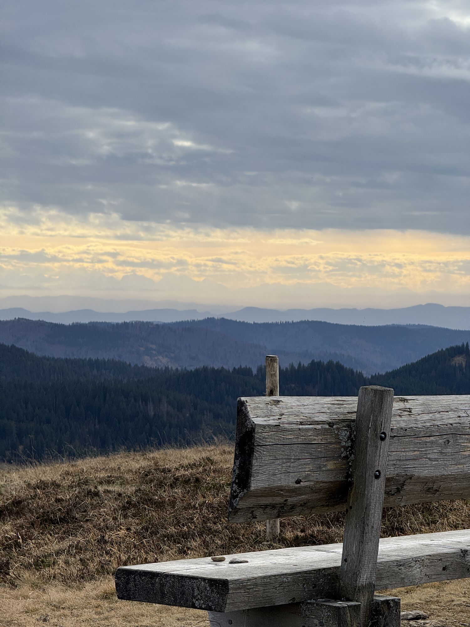
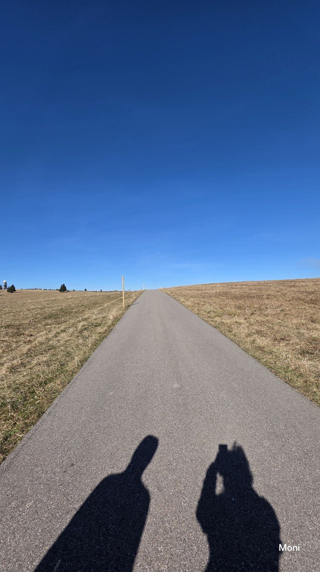
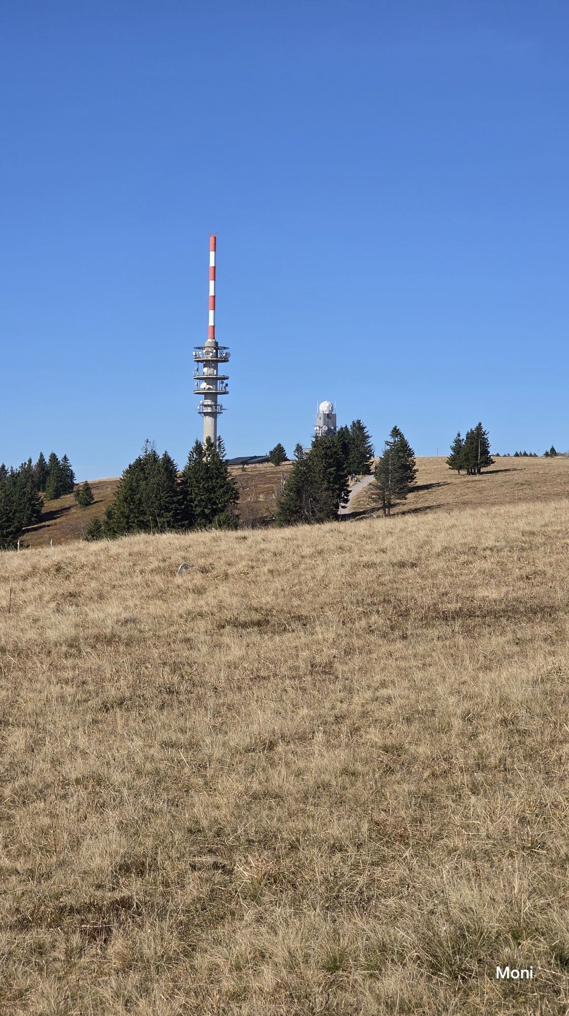
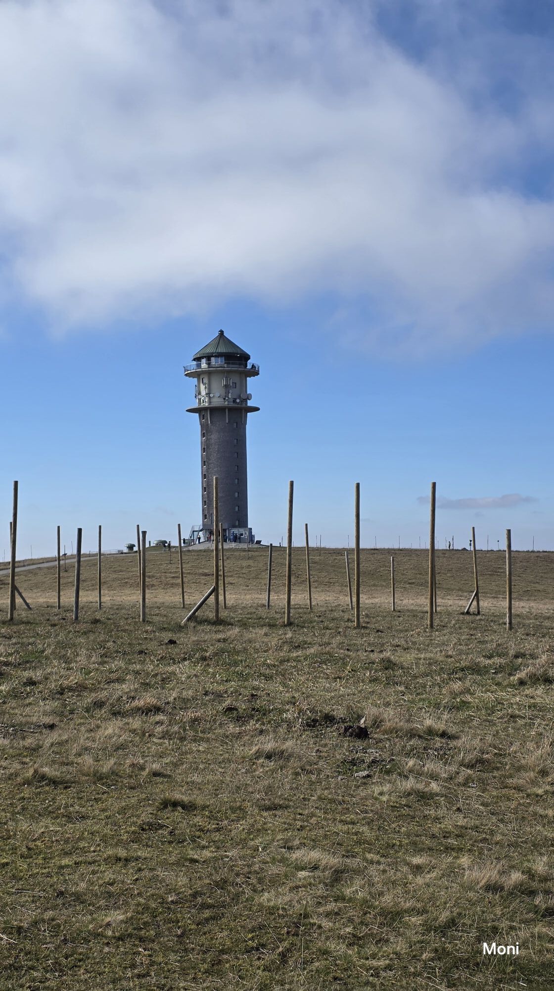
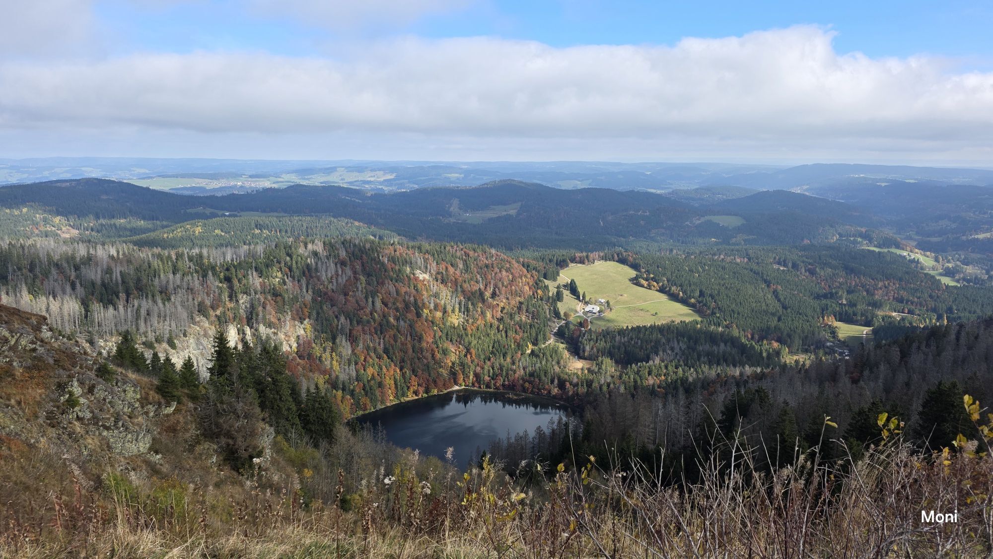
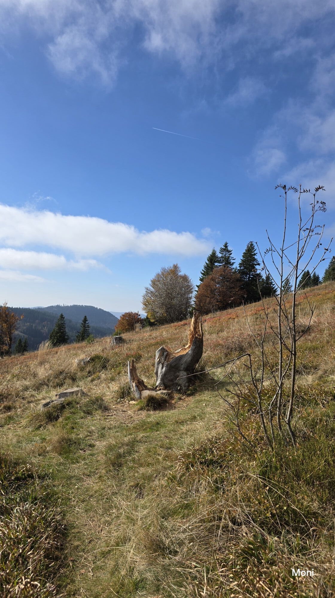
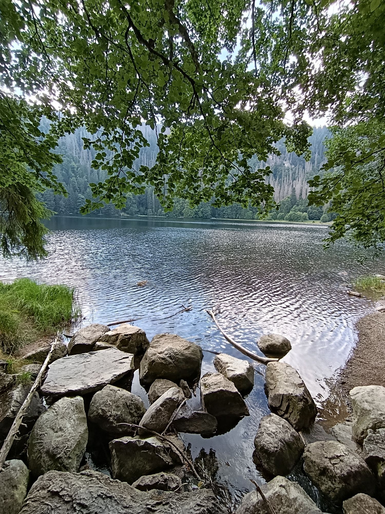
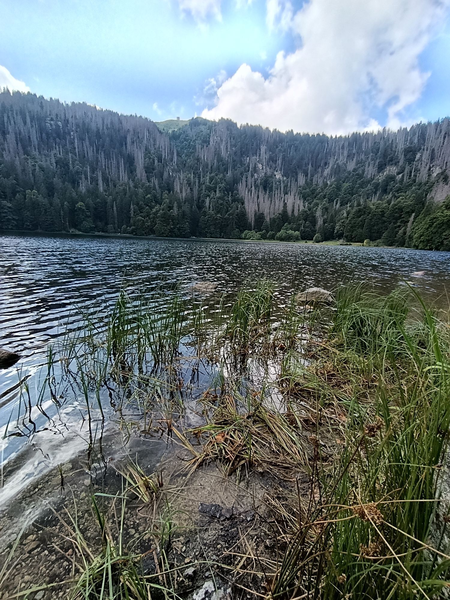
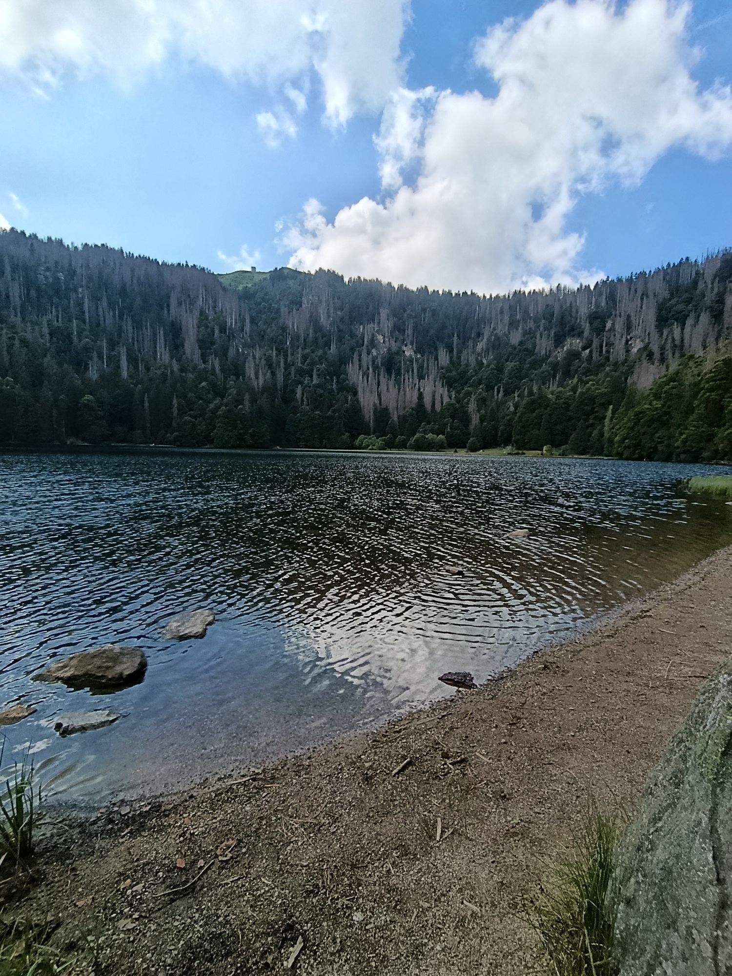
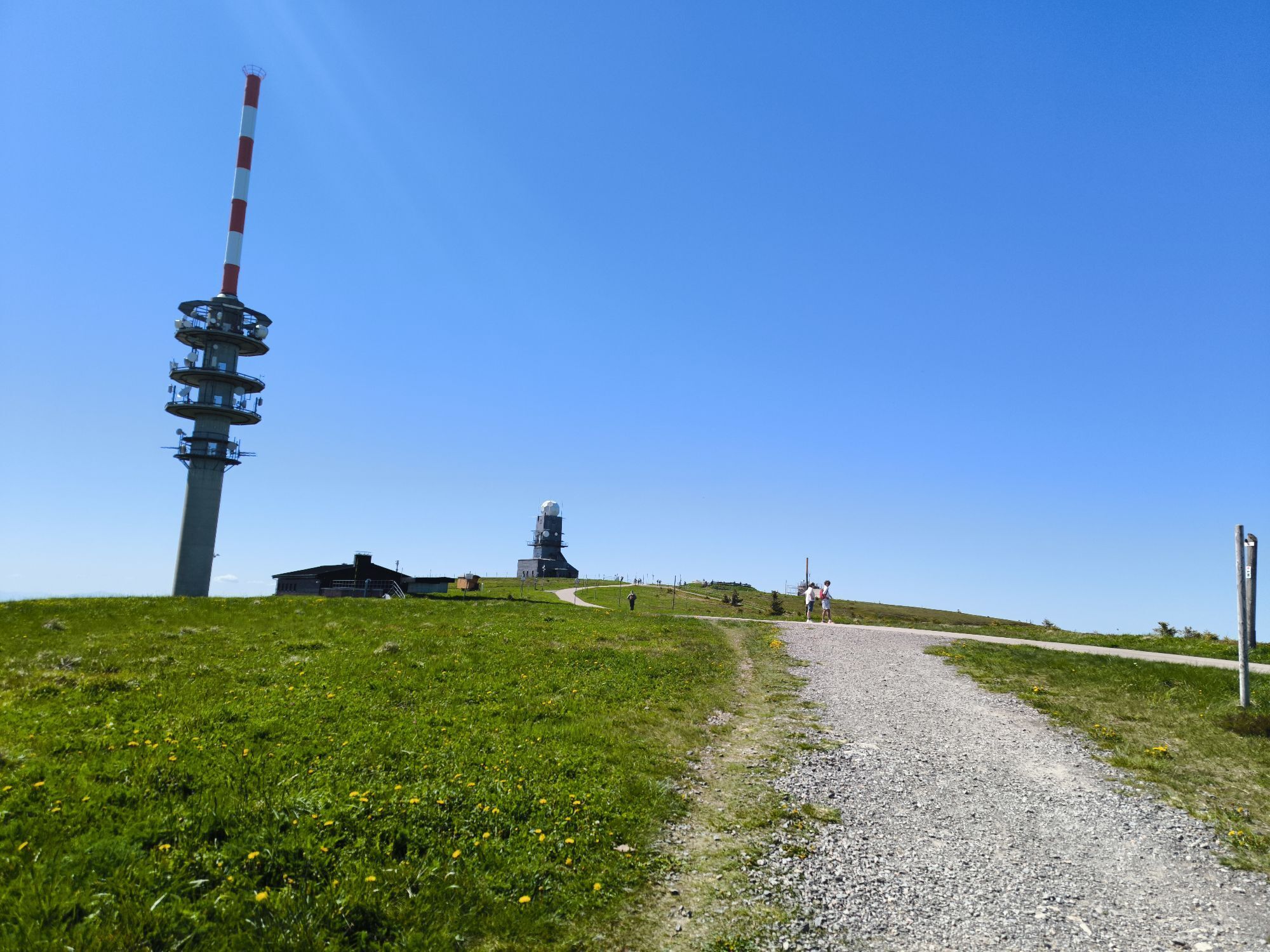
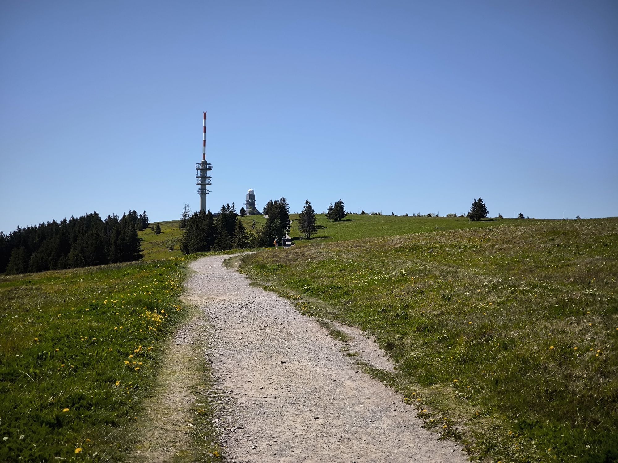
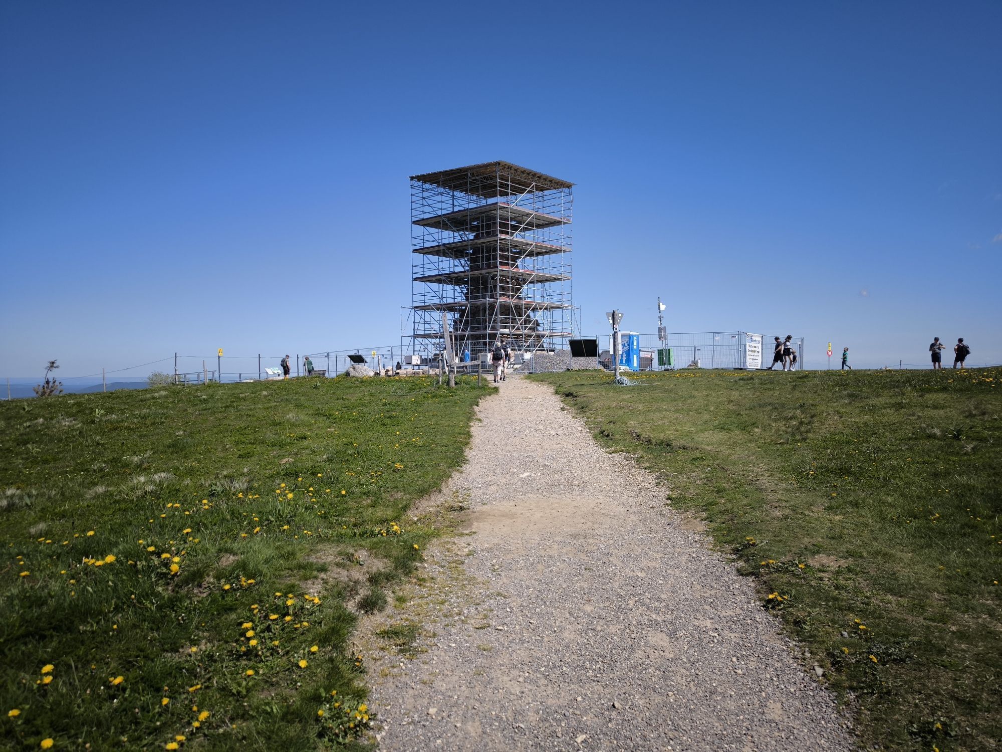
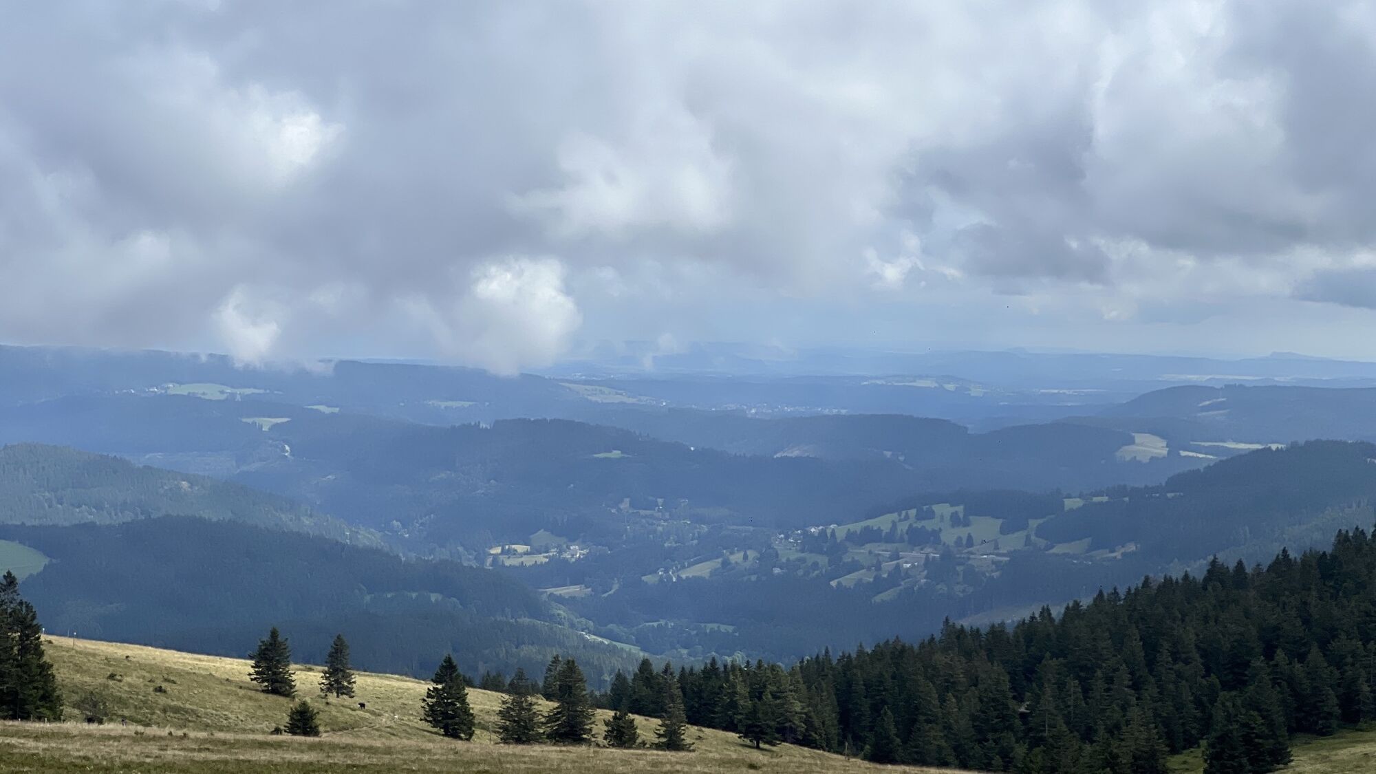
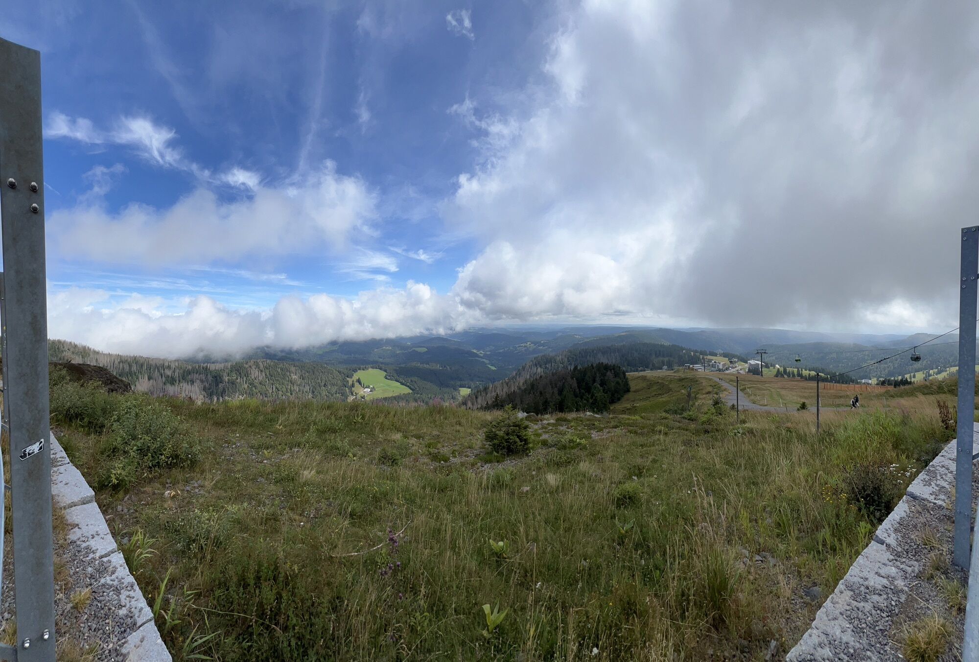

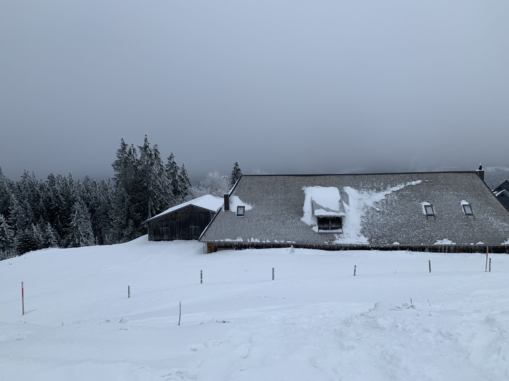
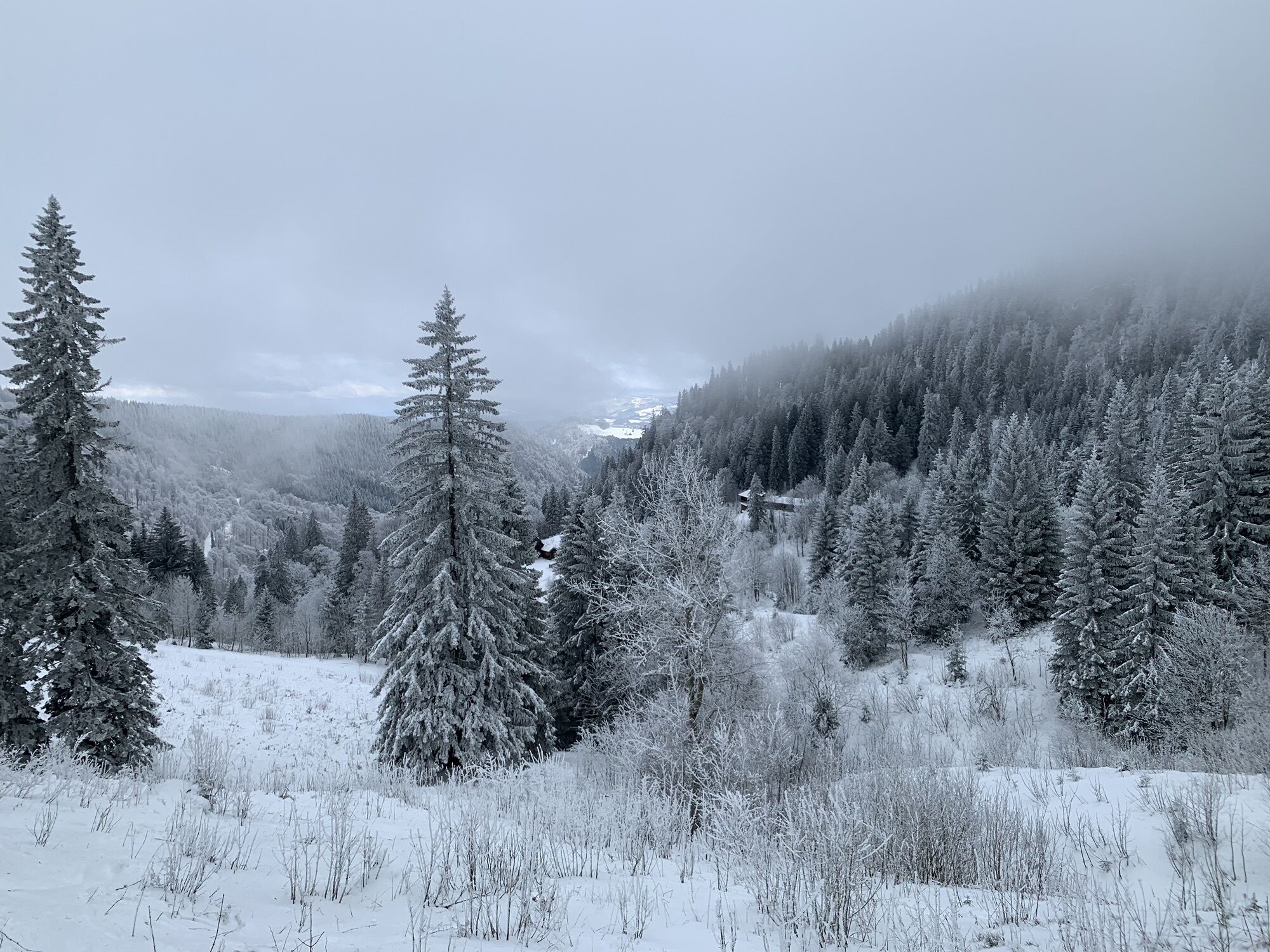
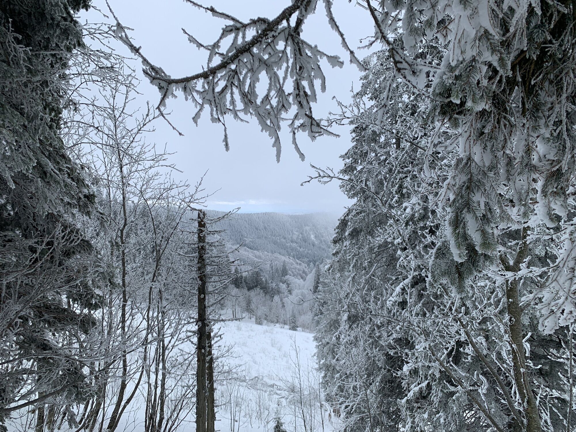
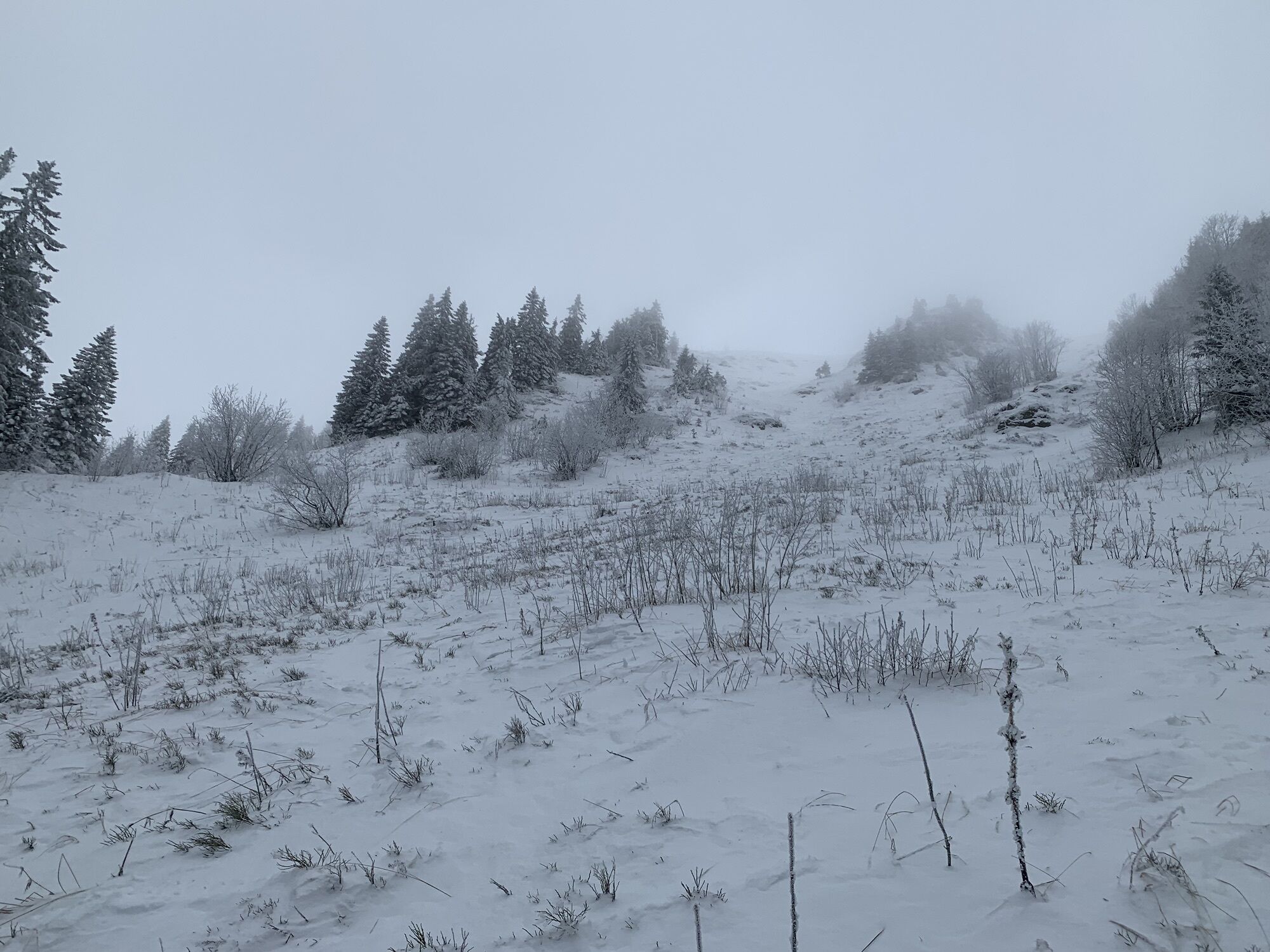
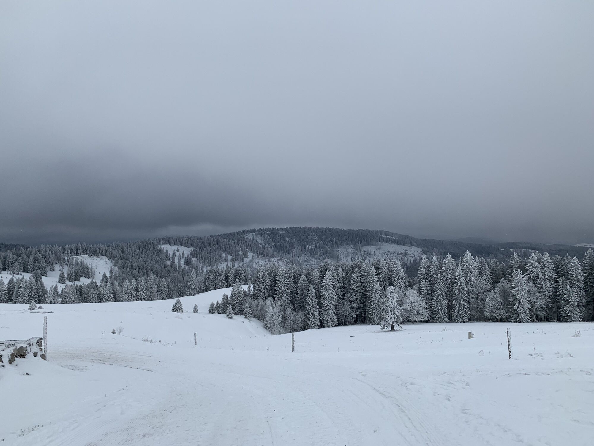
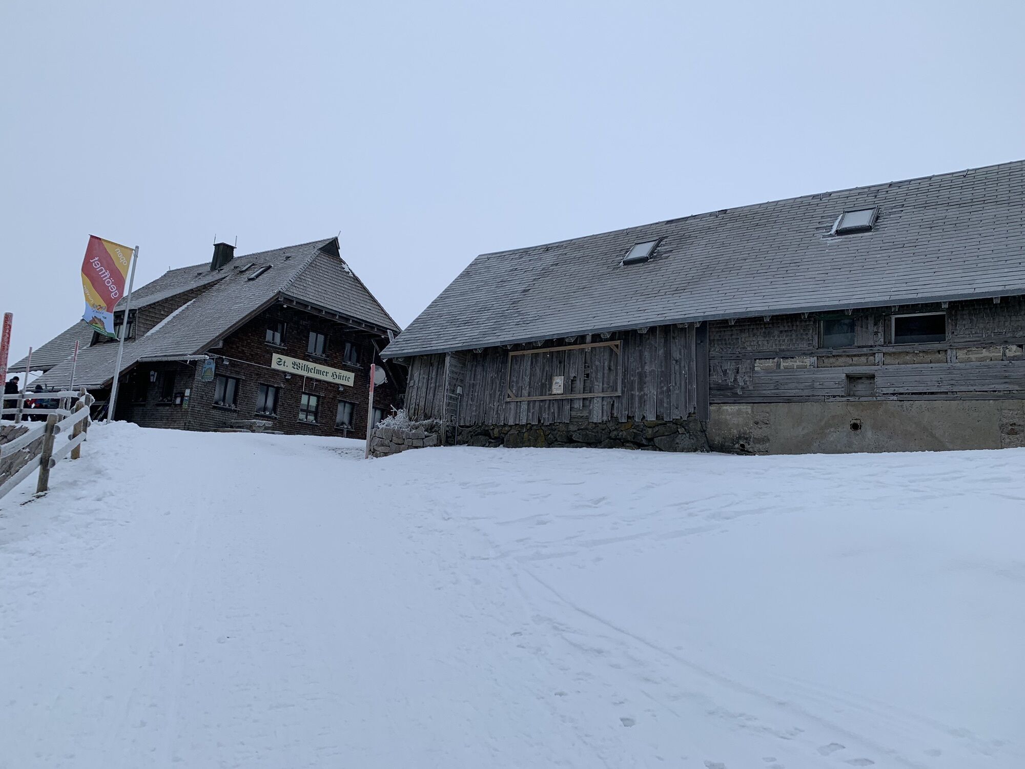
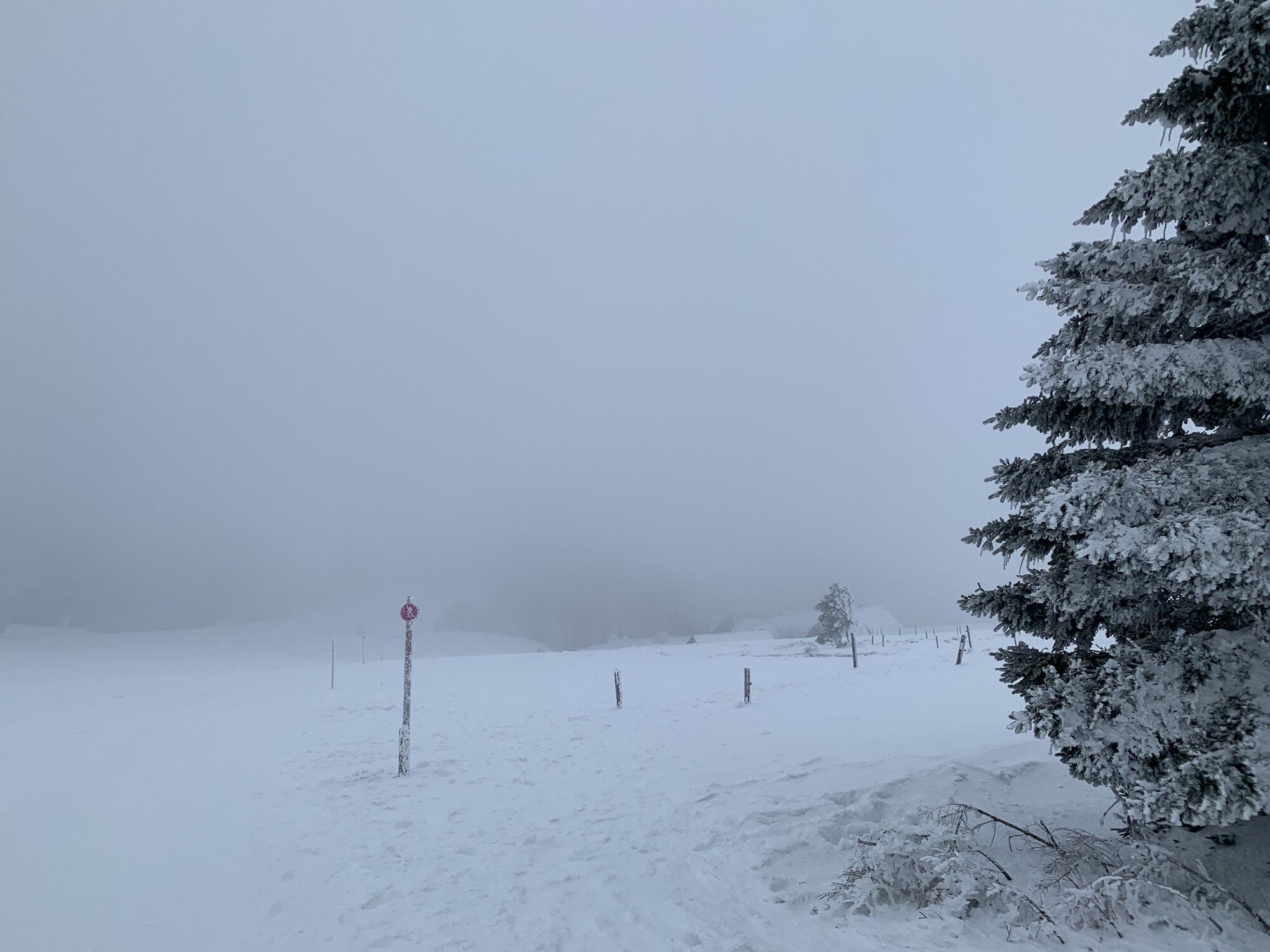
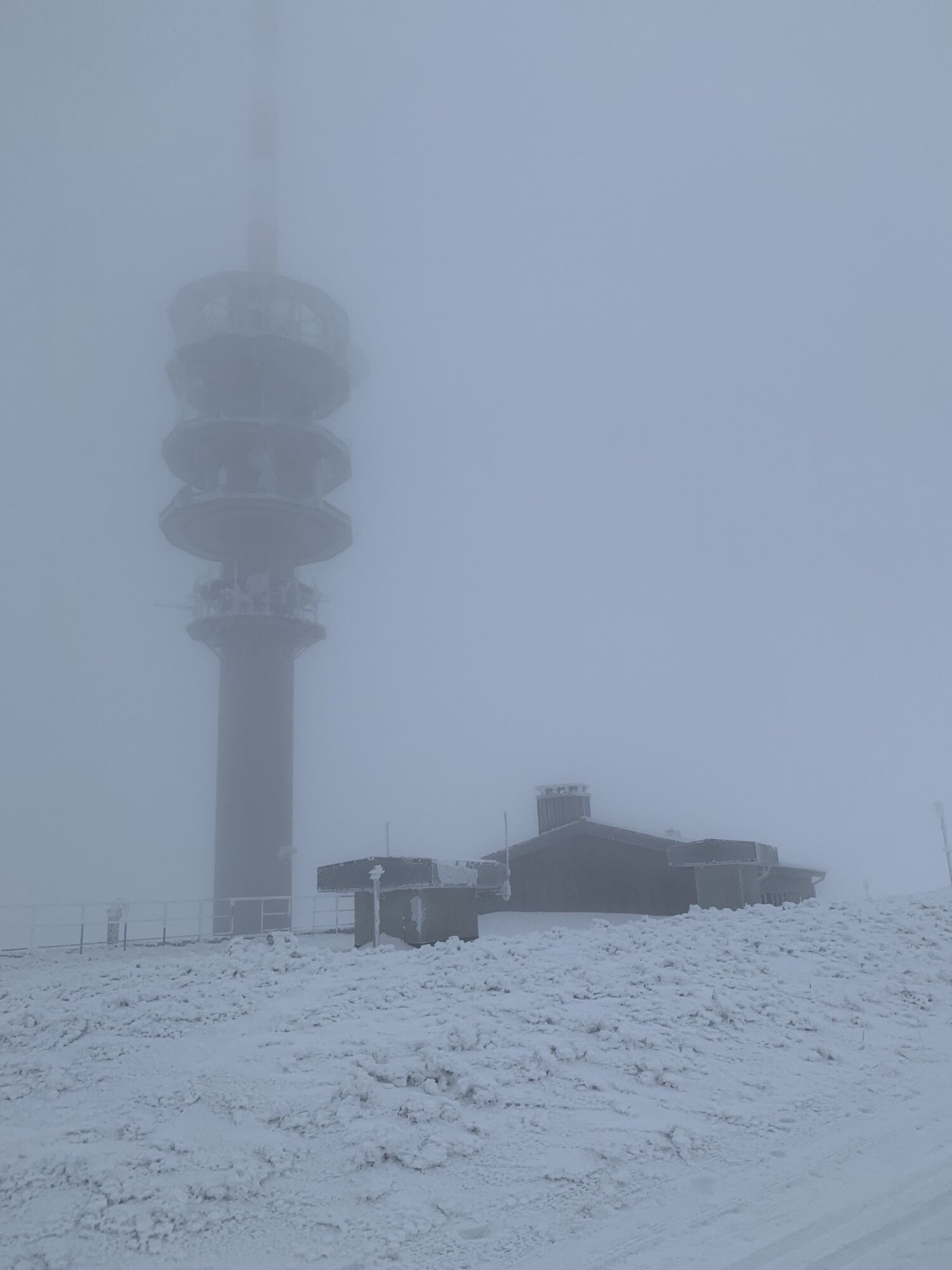
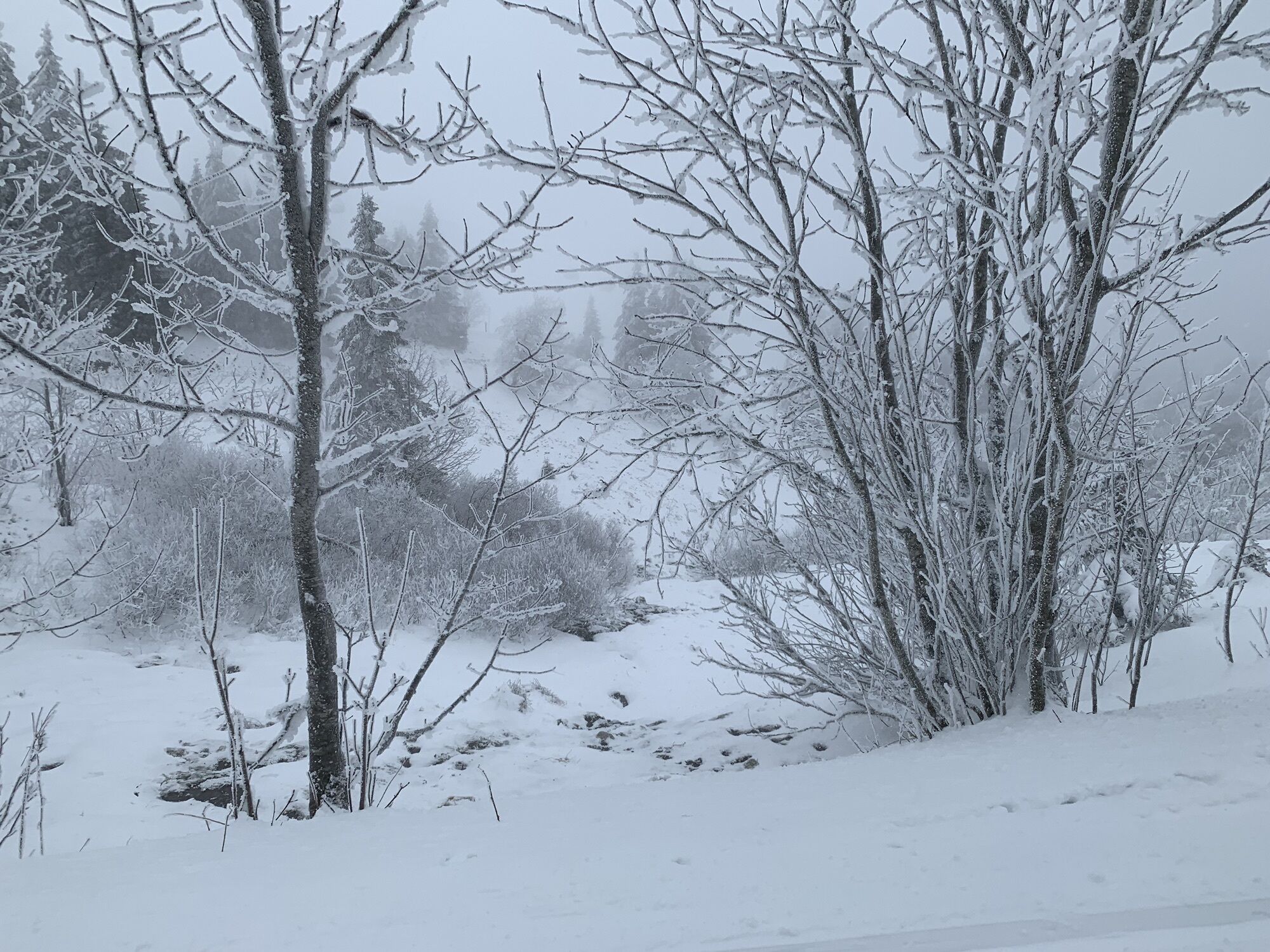
After you have mastered the first few meters of altitude up to the Feldberg tower, you can enjoy a breathtaking view to the Swiss mountains Zugspitze and Mont Blanc during good weather conditions. The...
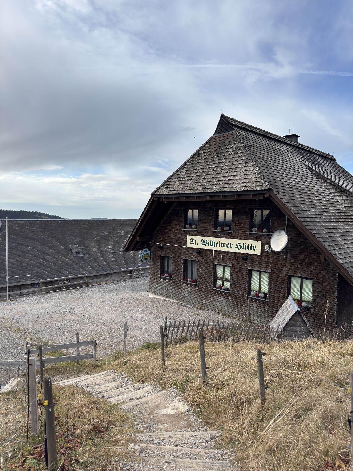
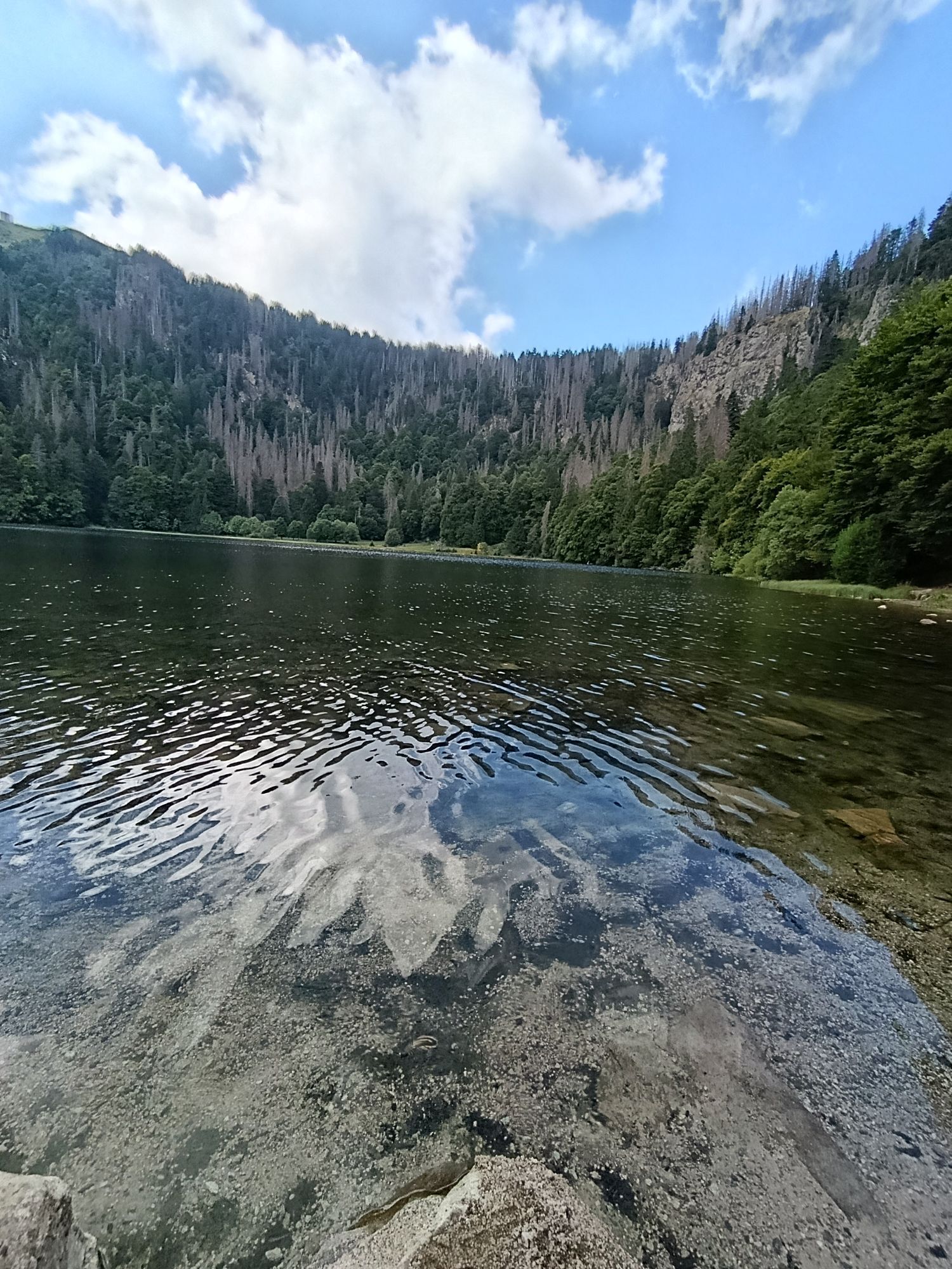
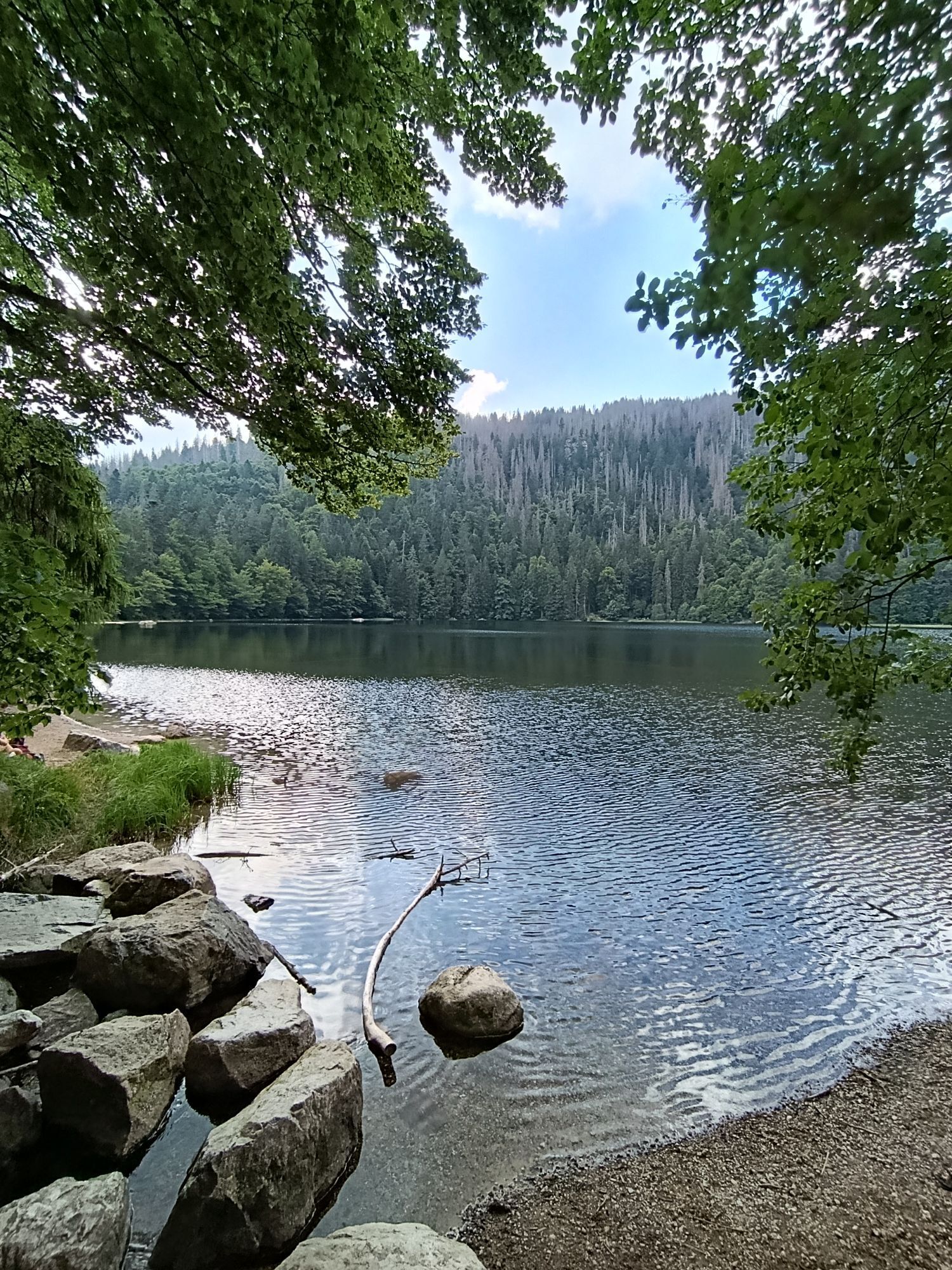
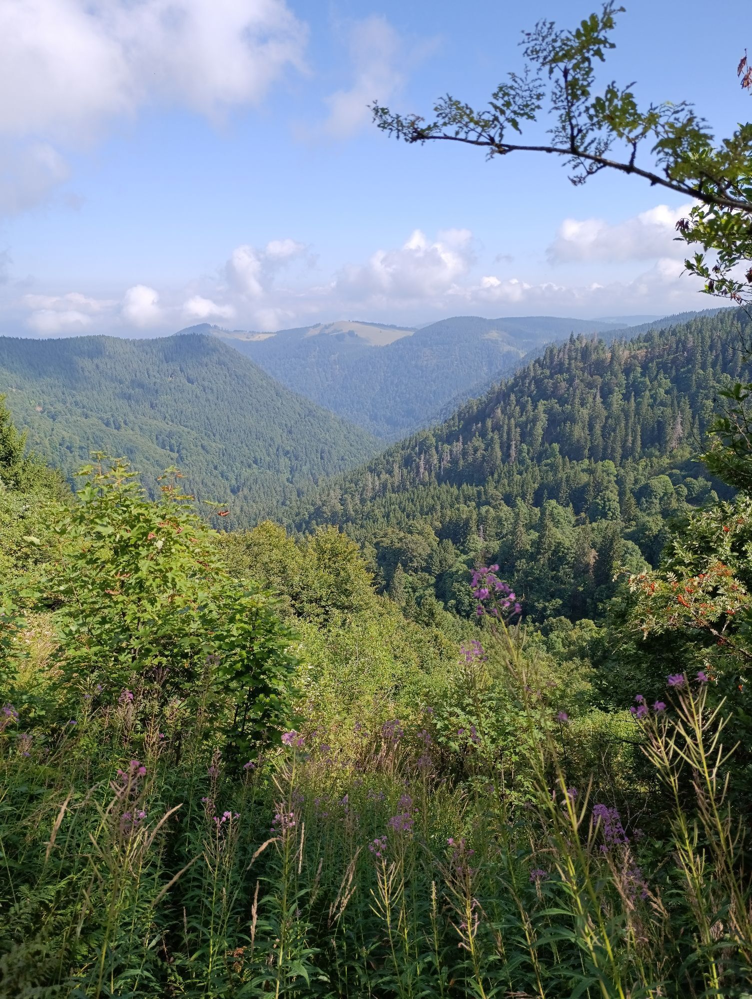
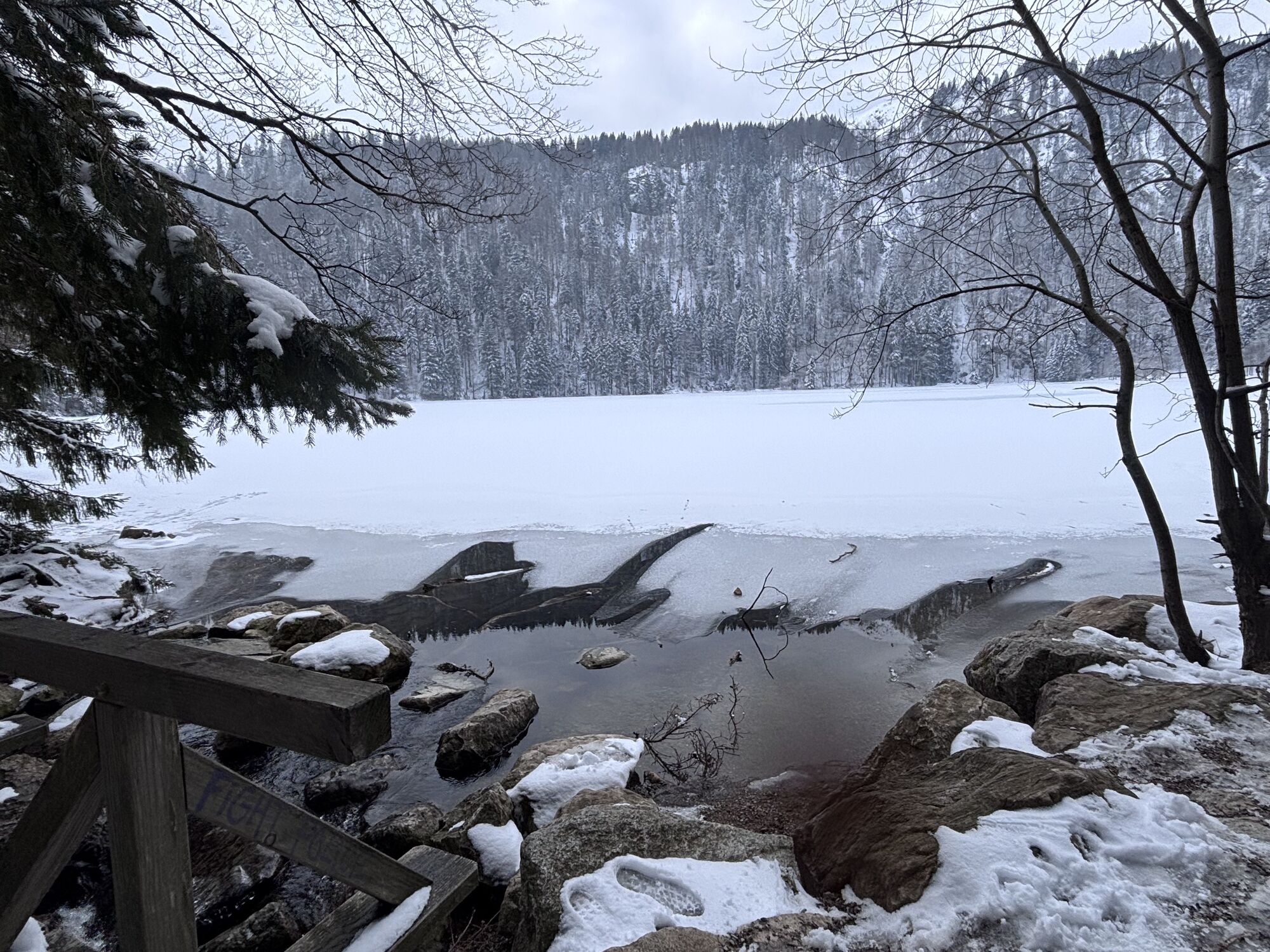
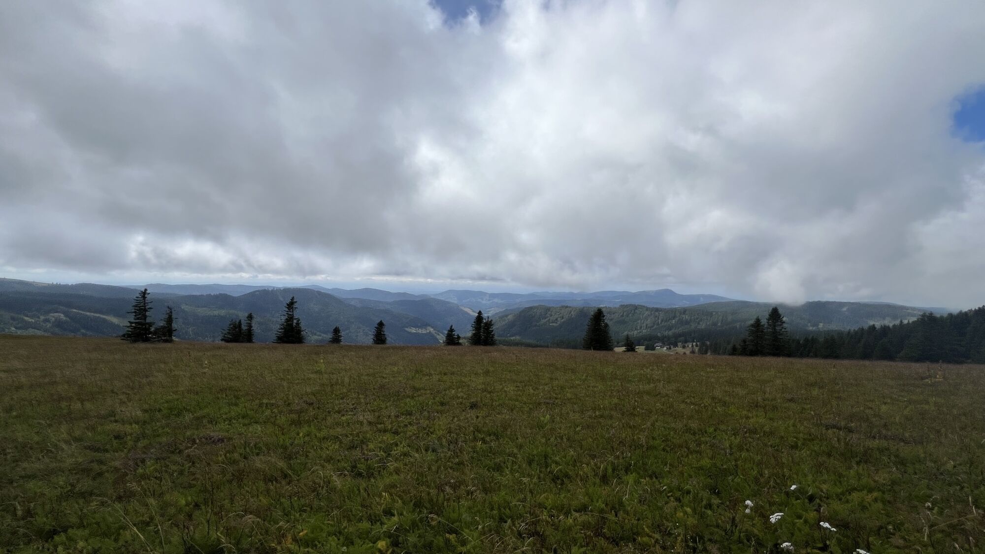
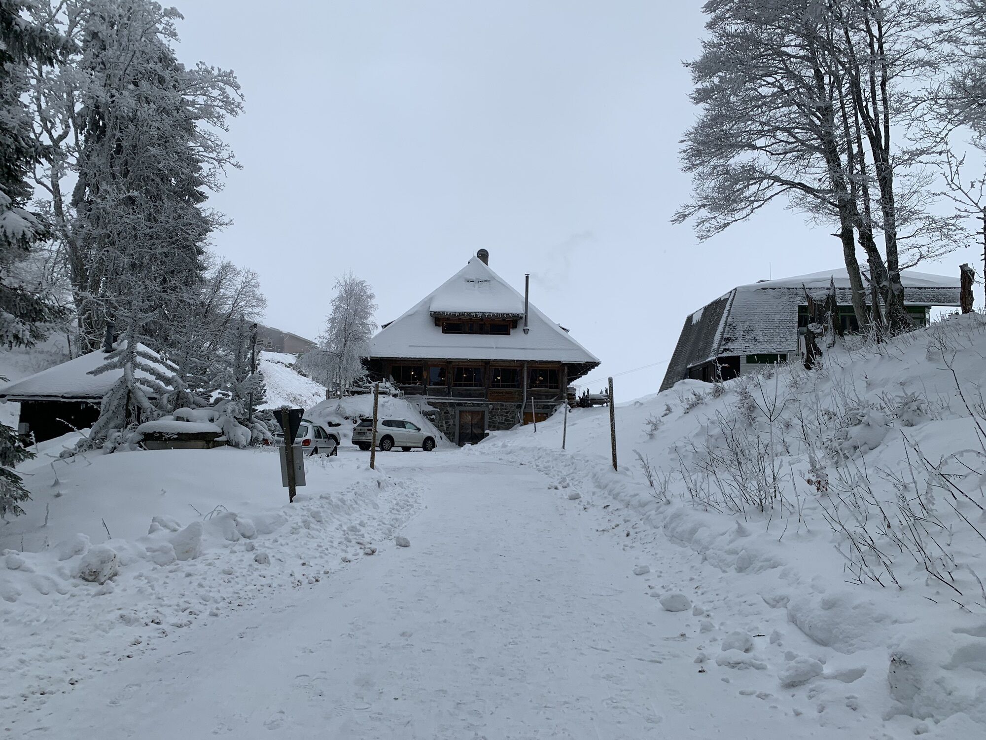
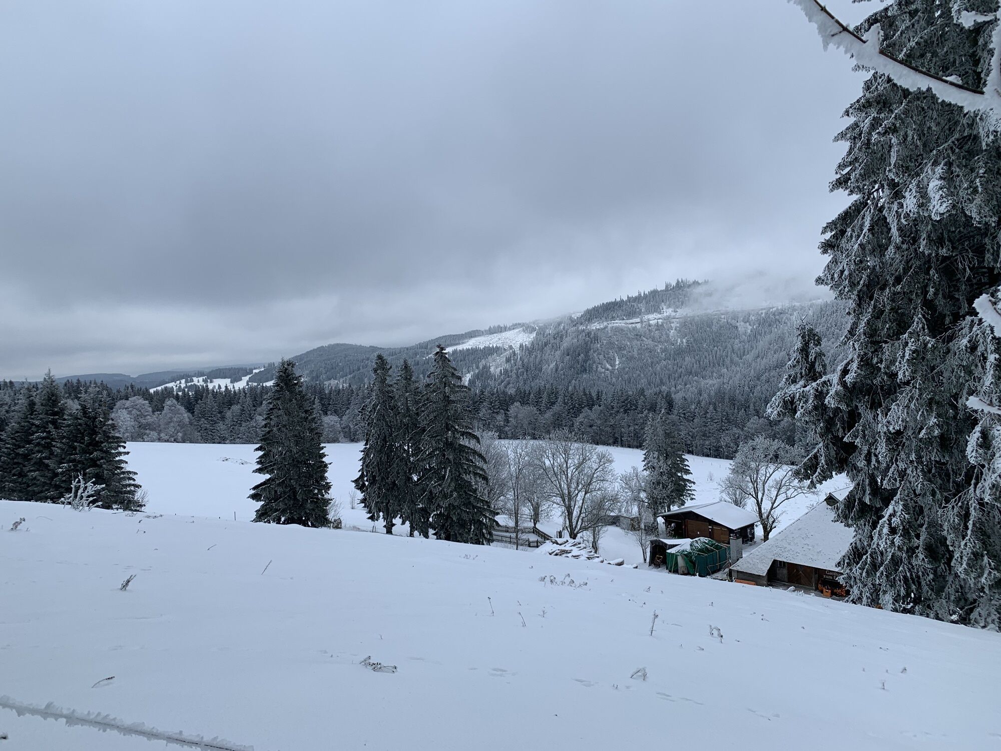
After you have mastered the first few meters of altitude up to the Feldberg tower, you can enjoy a breathtaking view to the Swiss mountains Zugspitze and Mont Blanc during good weather conditions. The hike takes you past many rustic mountain huts, such as the St. Wilhelmer Hütte, the Zastler Hütter and the Baldenweger Hütte. Narrow paths and small bridges lead to the beautifully situated Raimartihof farm, which is over 300 years old. Finally, you can take a deep breath at the idyllic Feldsee lake before returning to the starting point, the House of Nature (Haus der Natur).

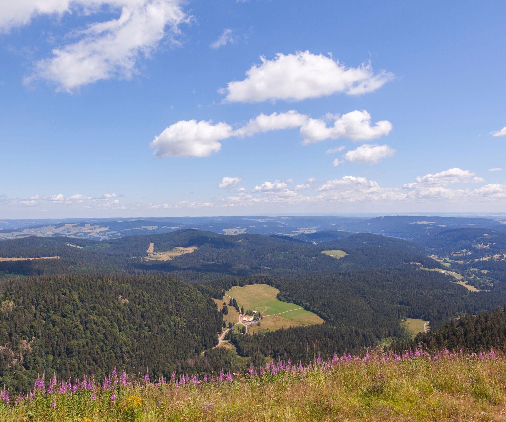

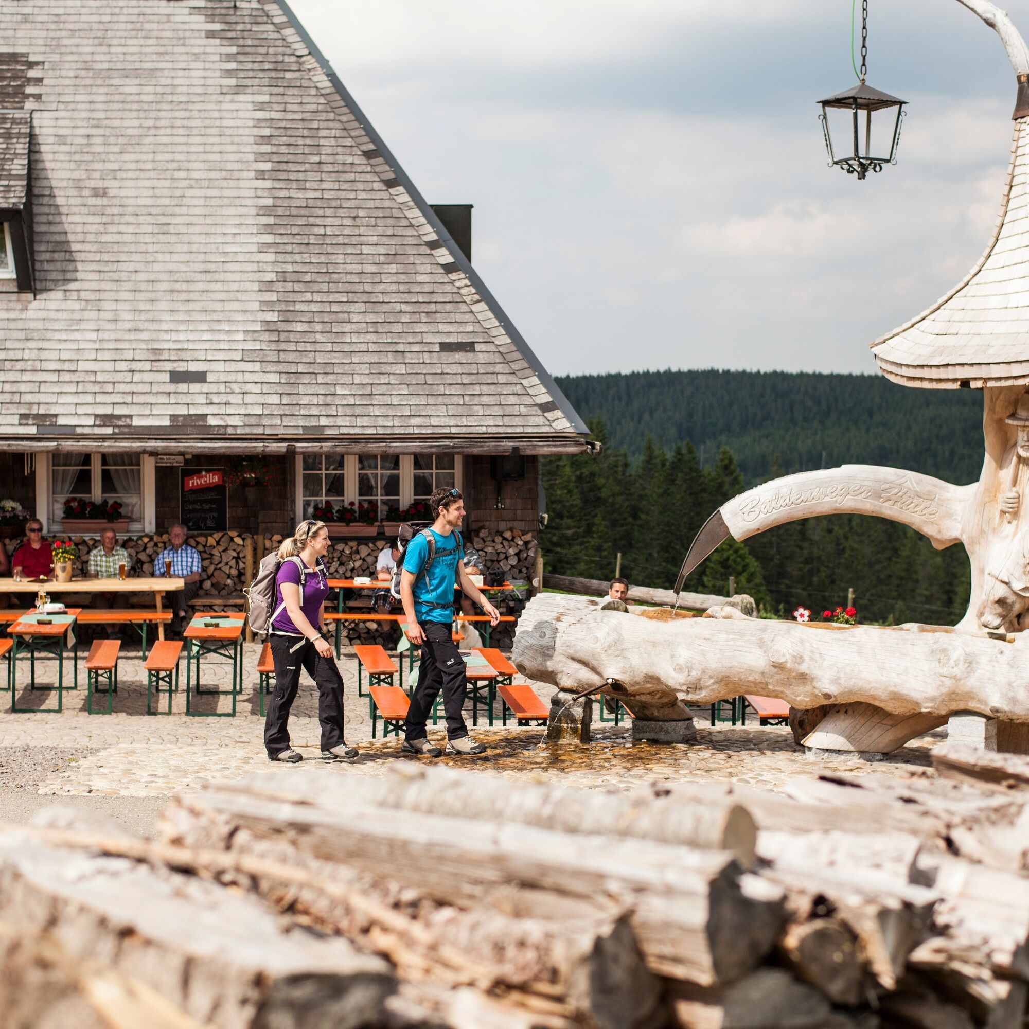
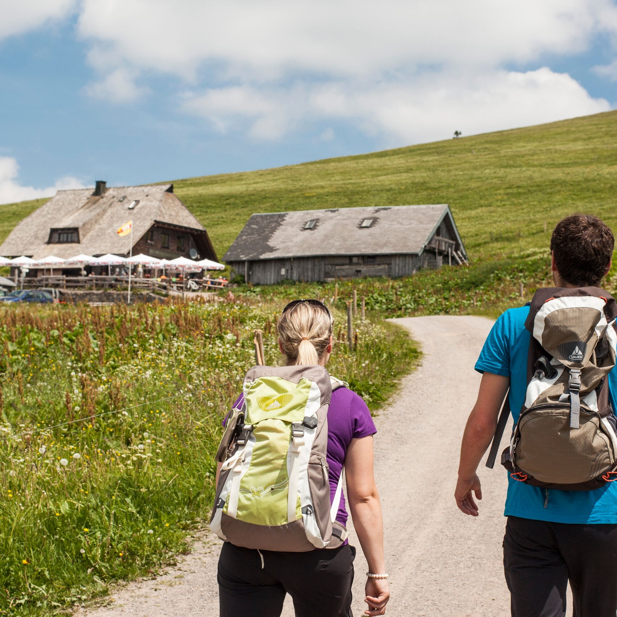
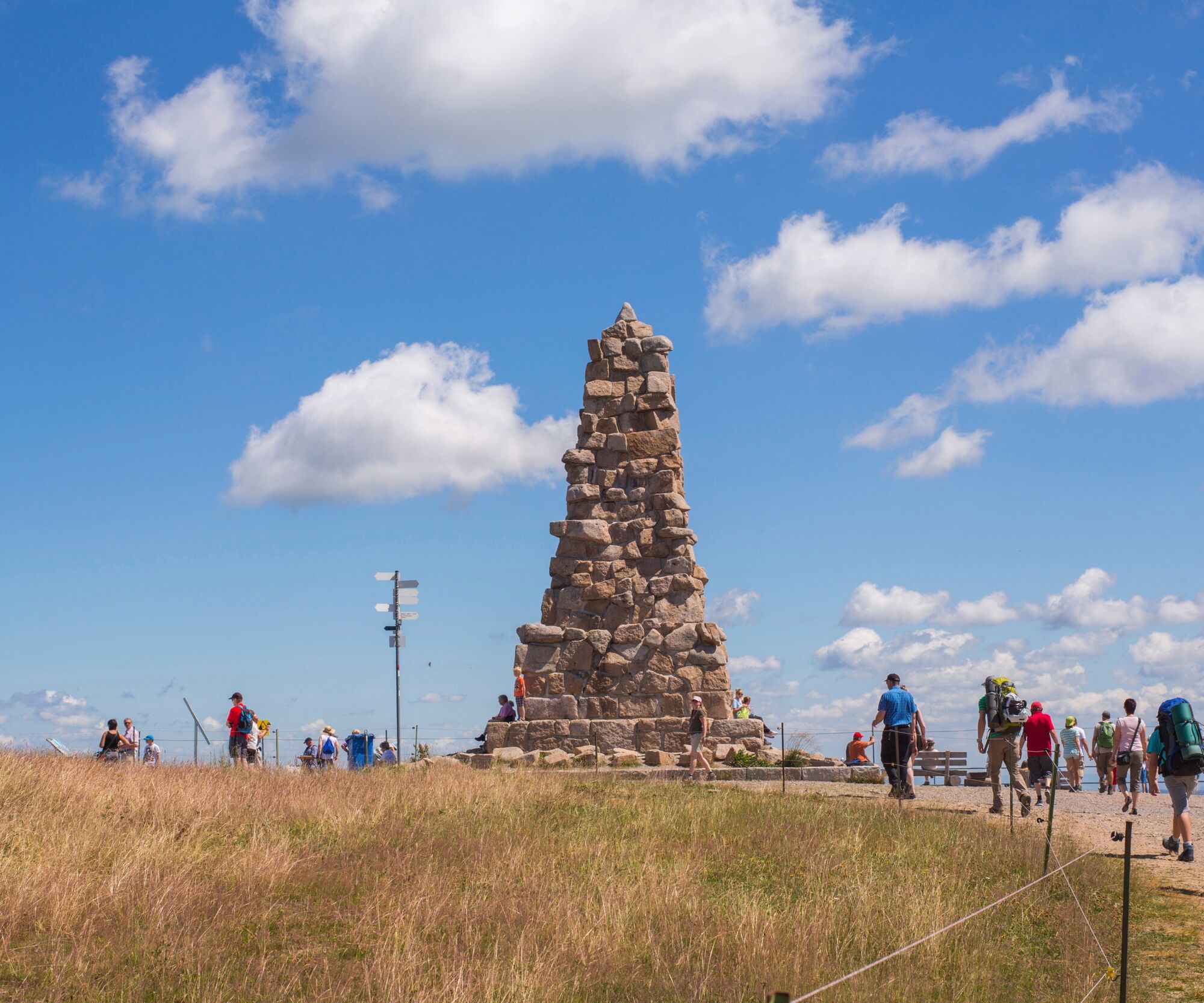
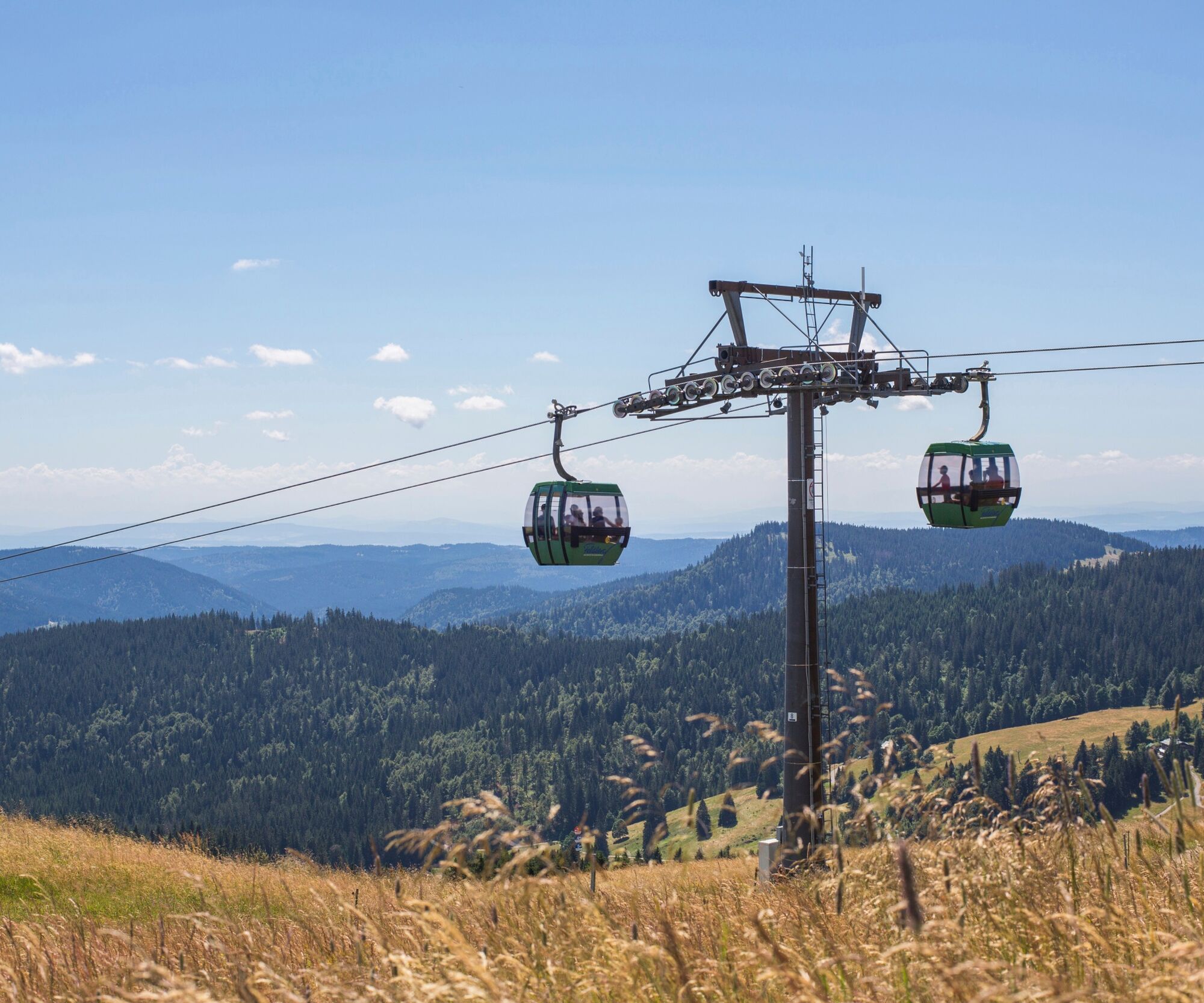
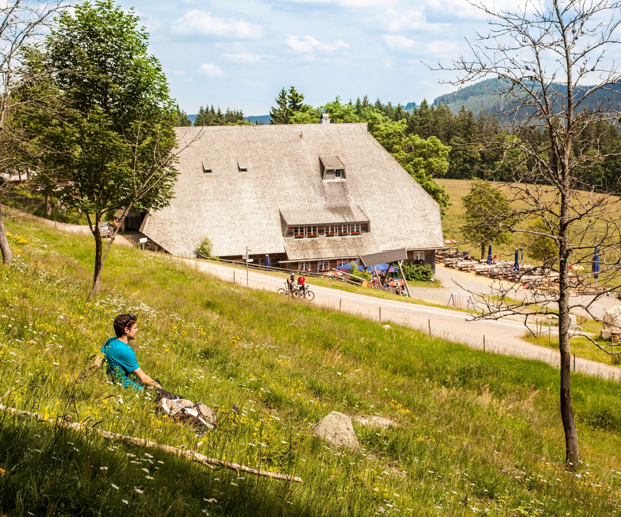
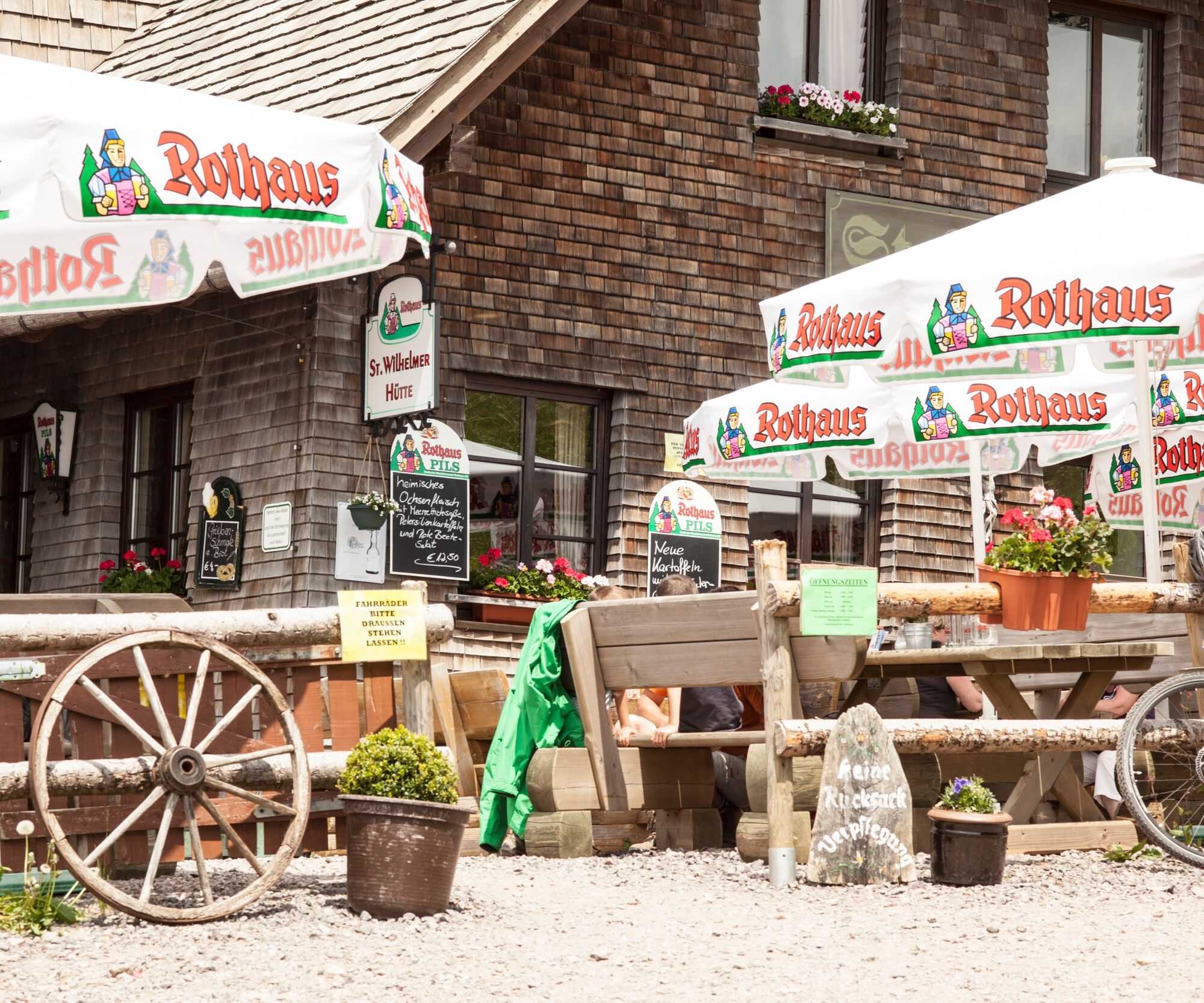
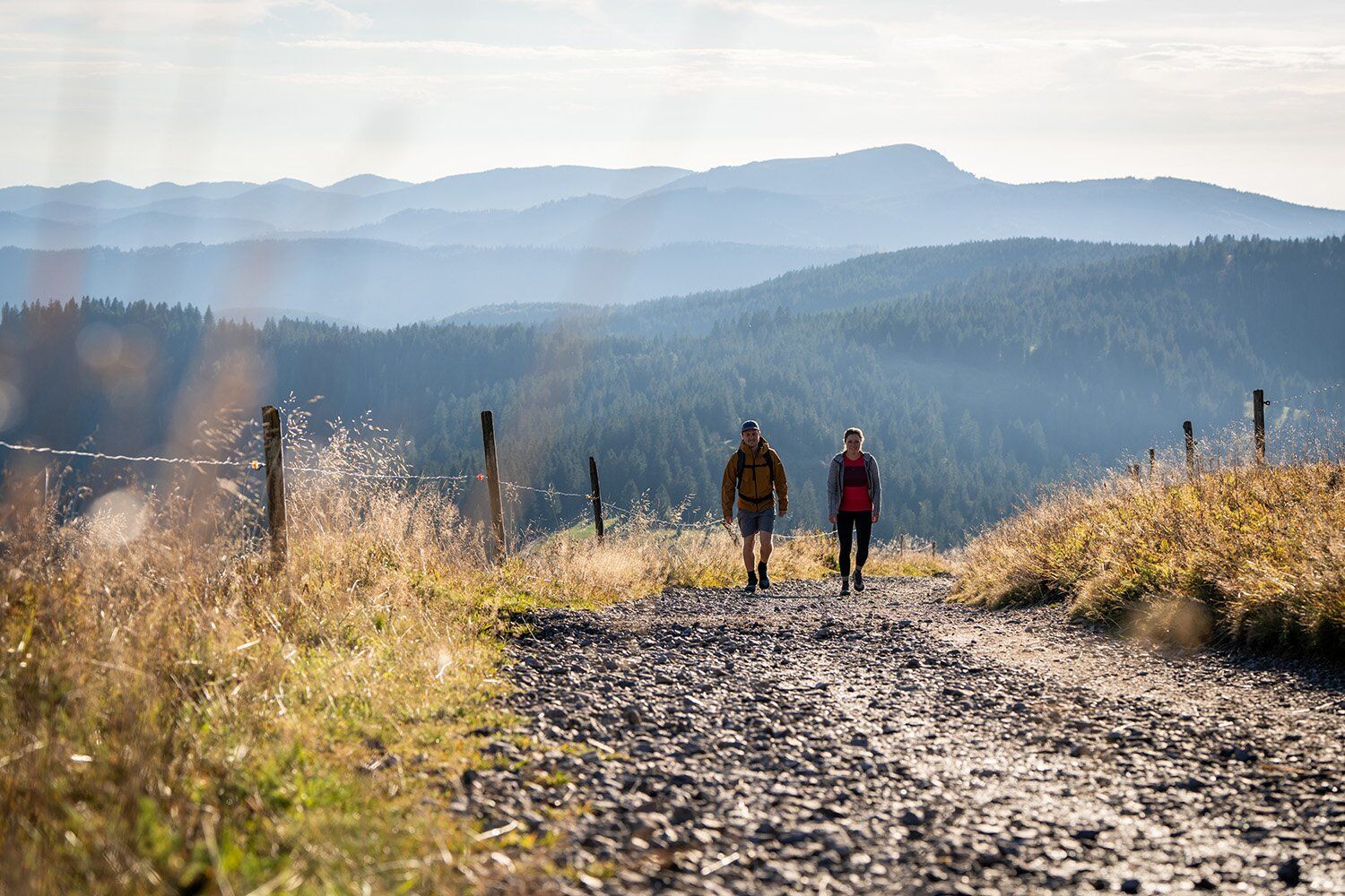
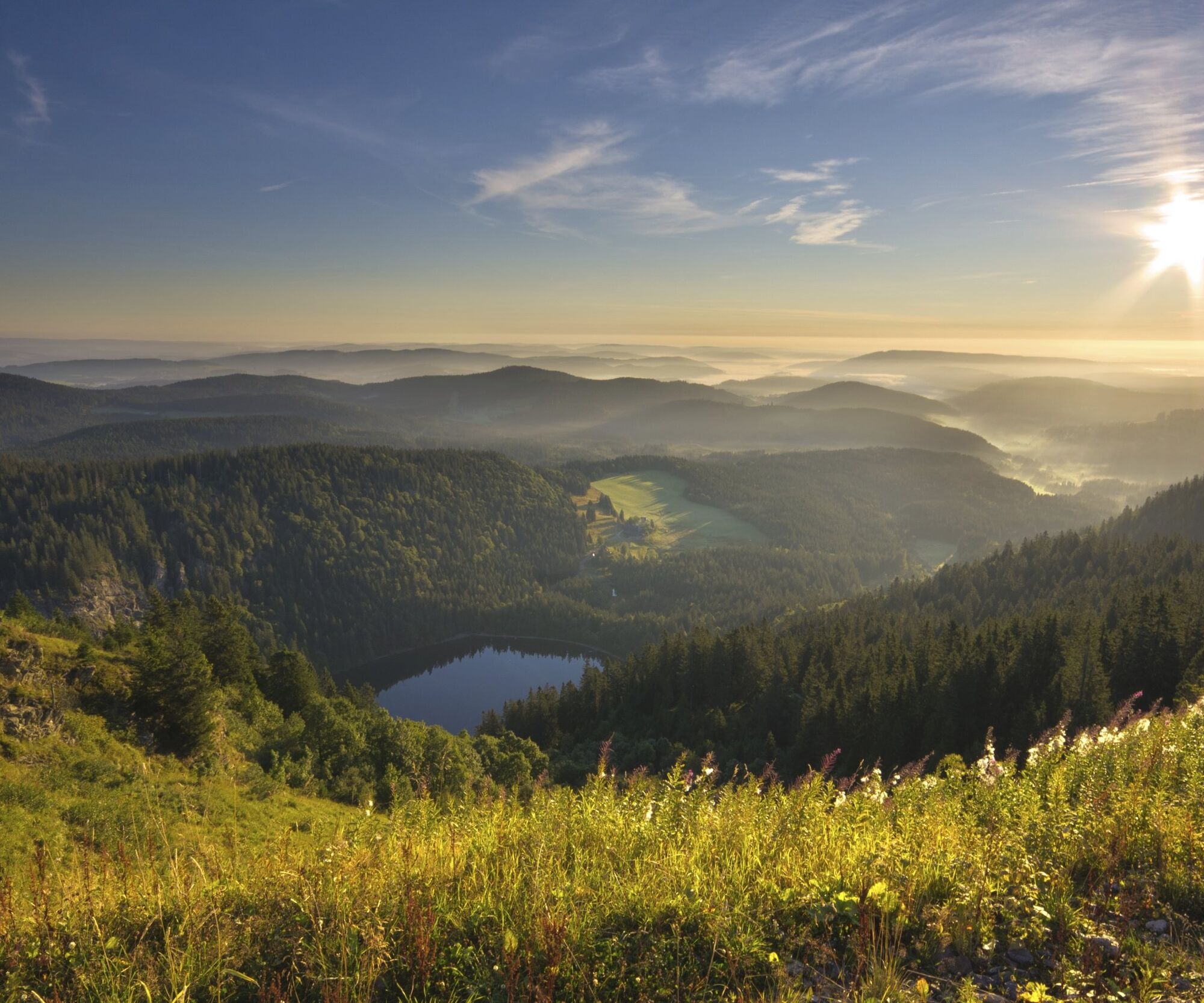
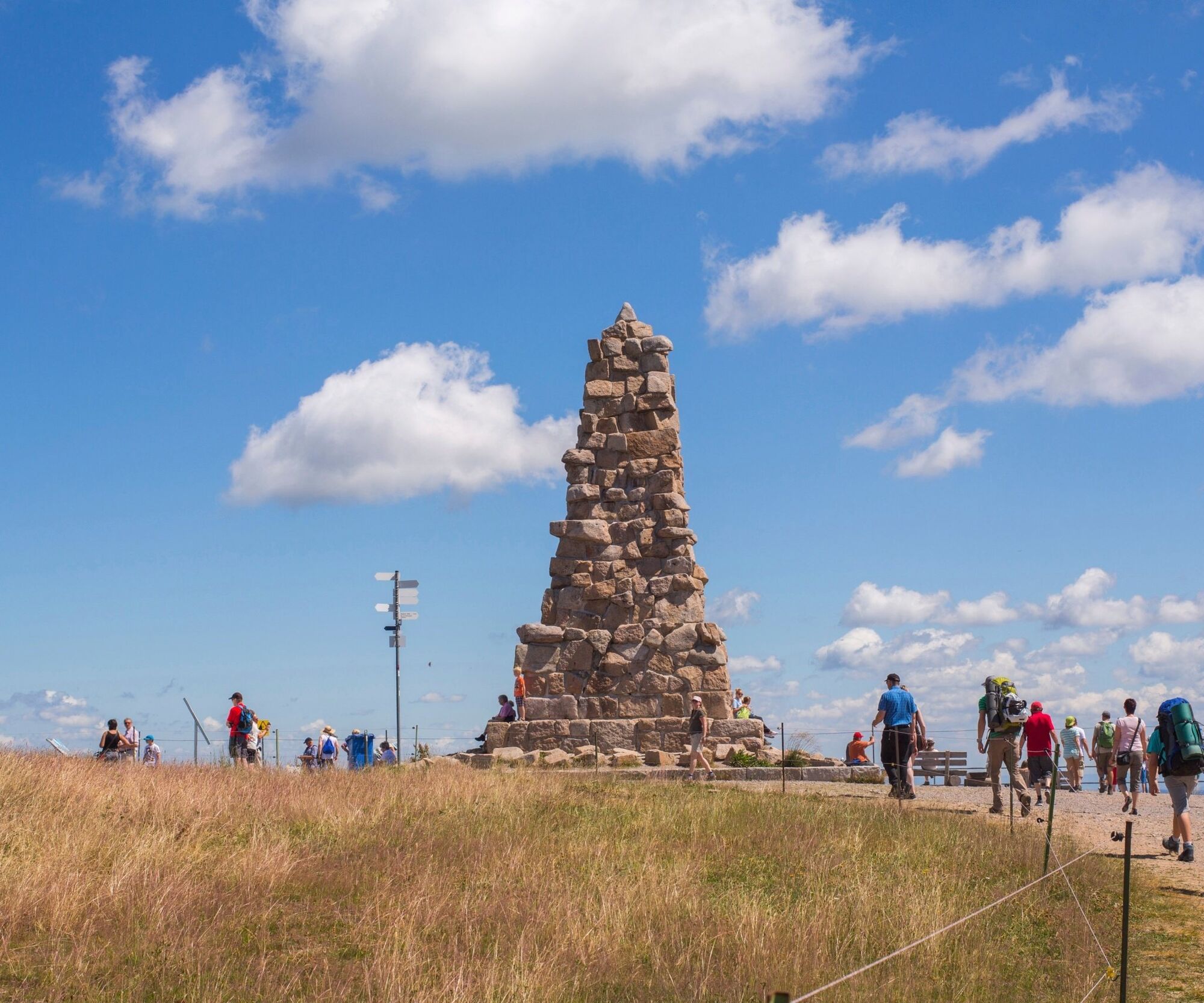
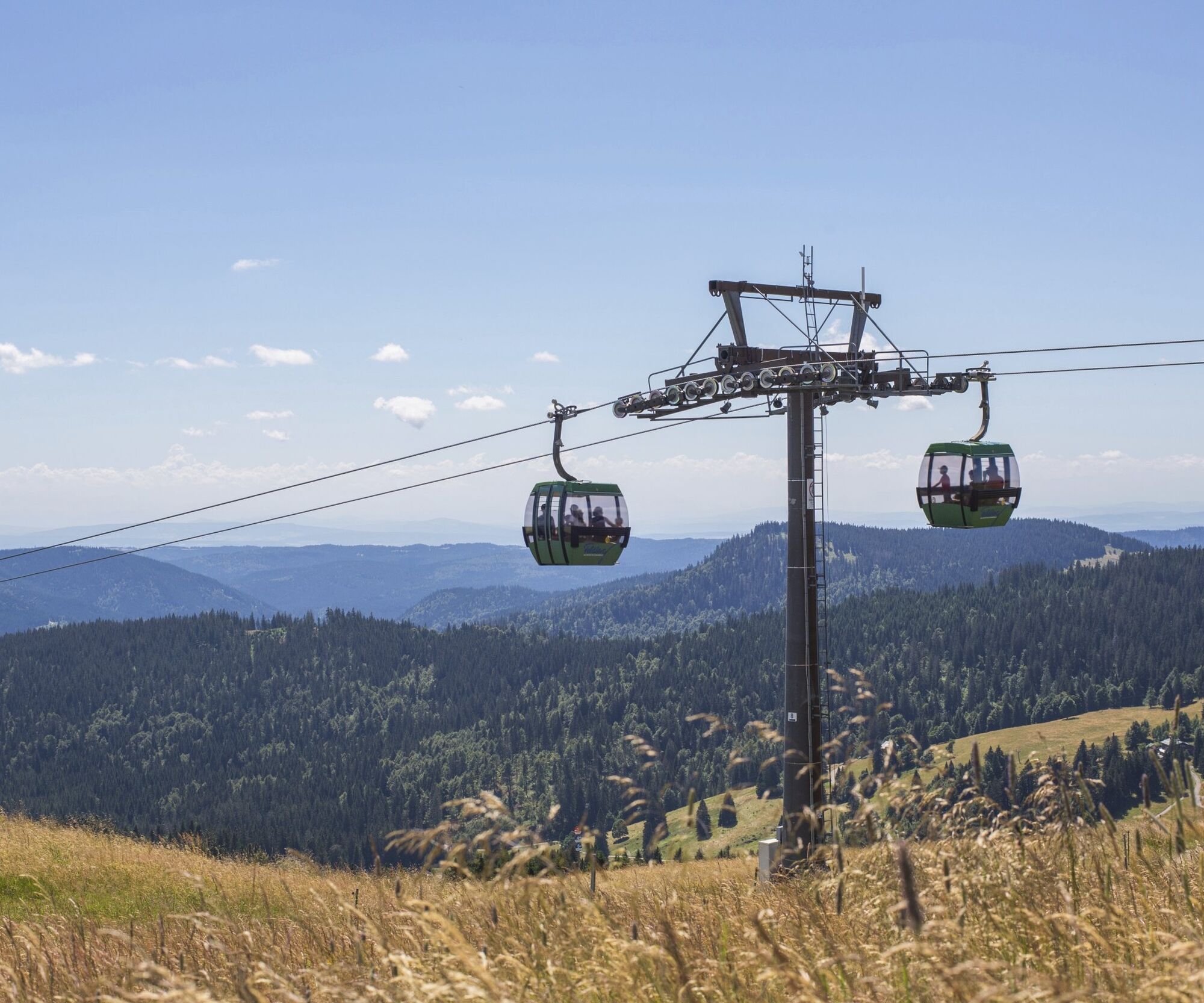
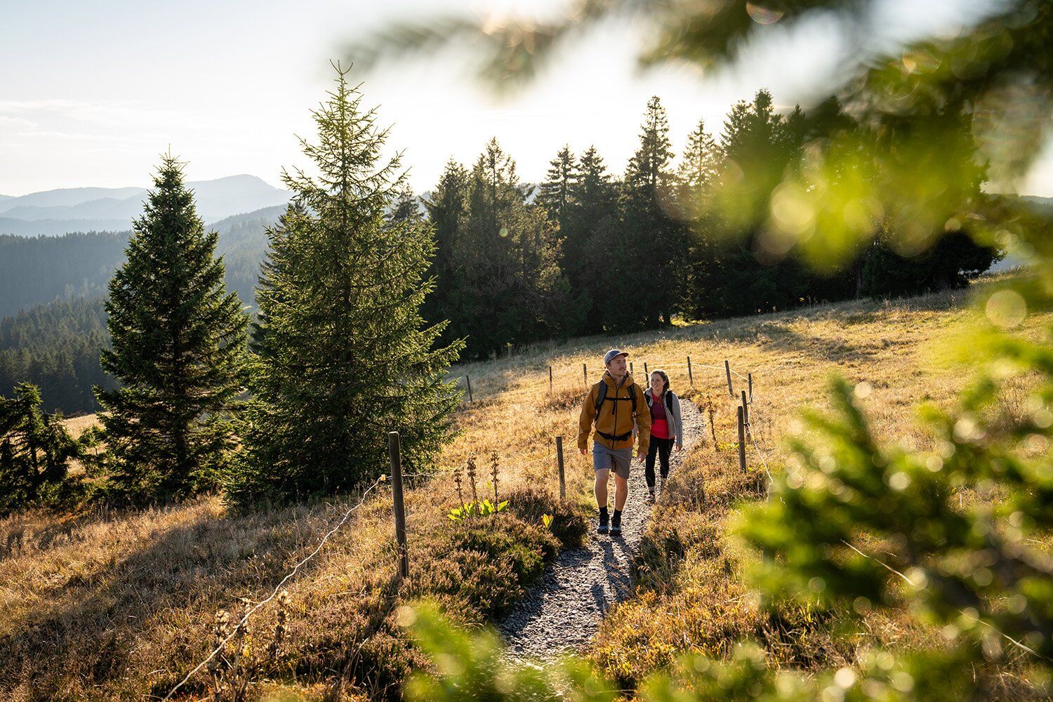
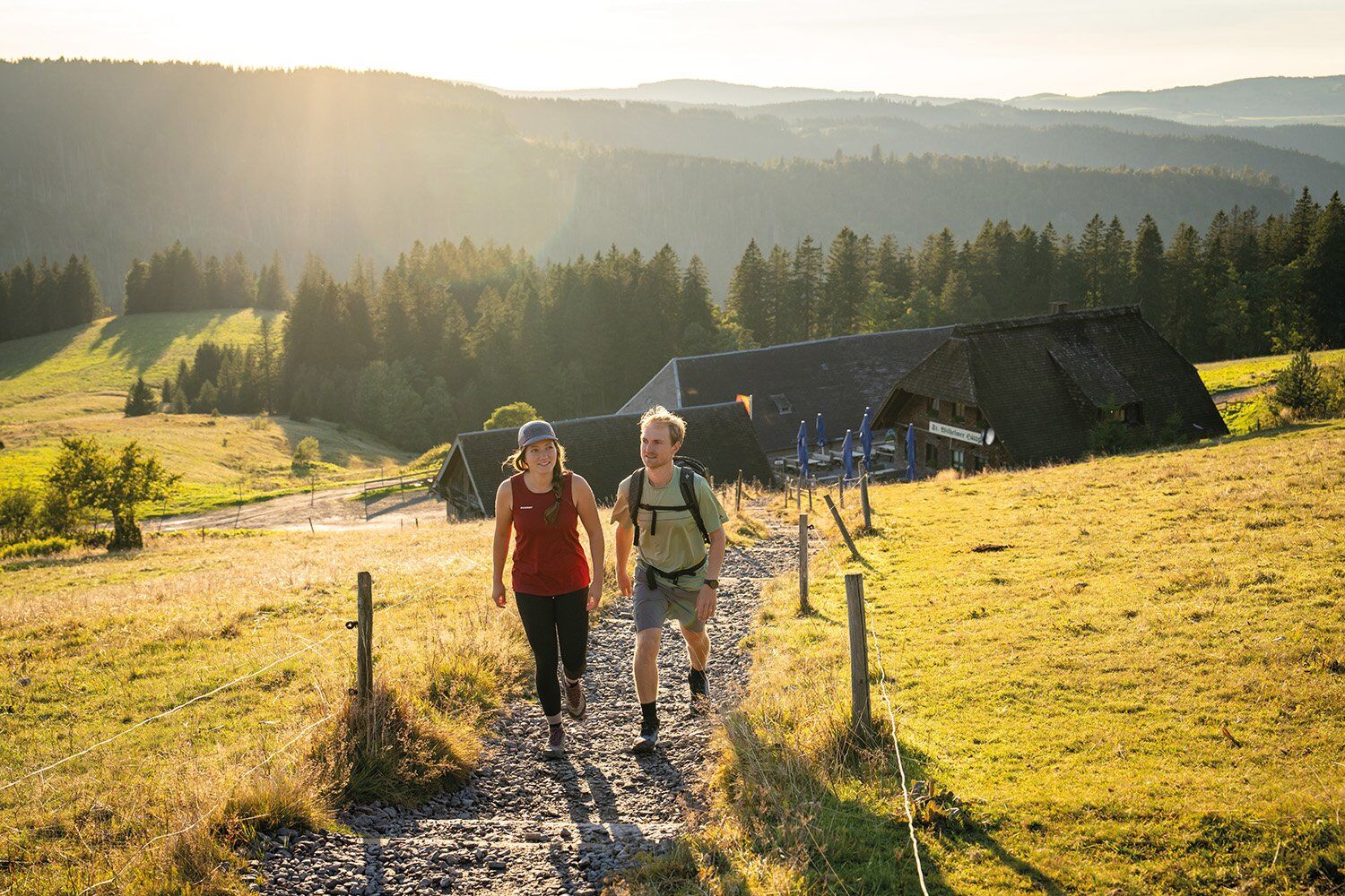
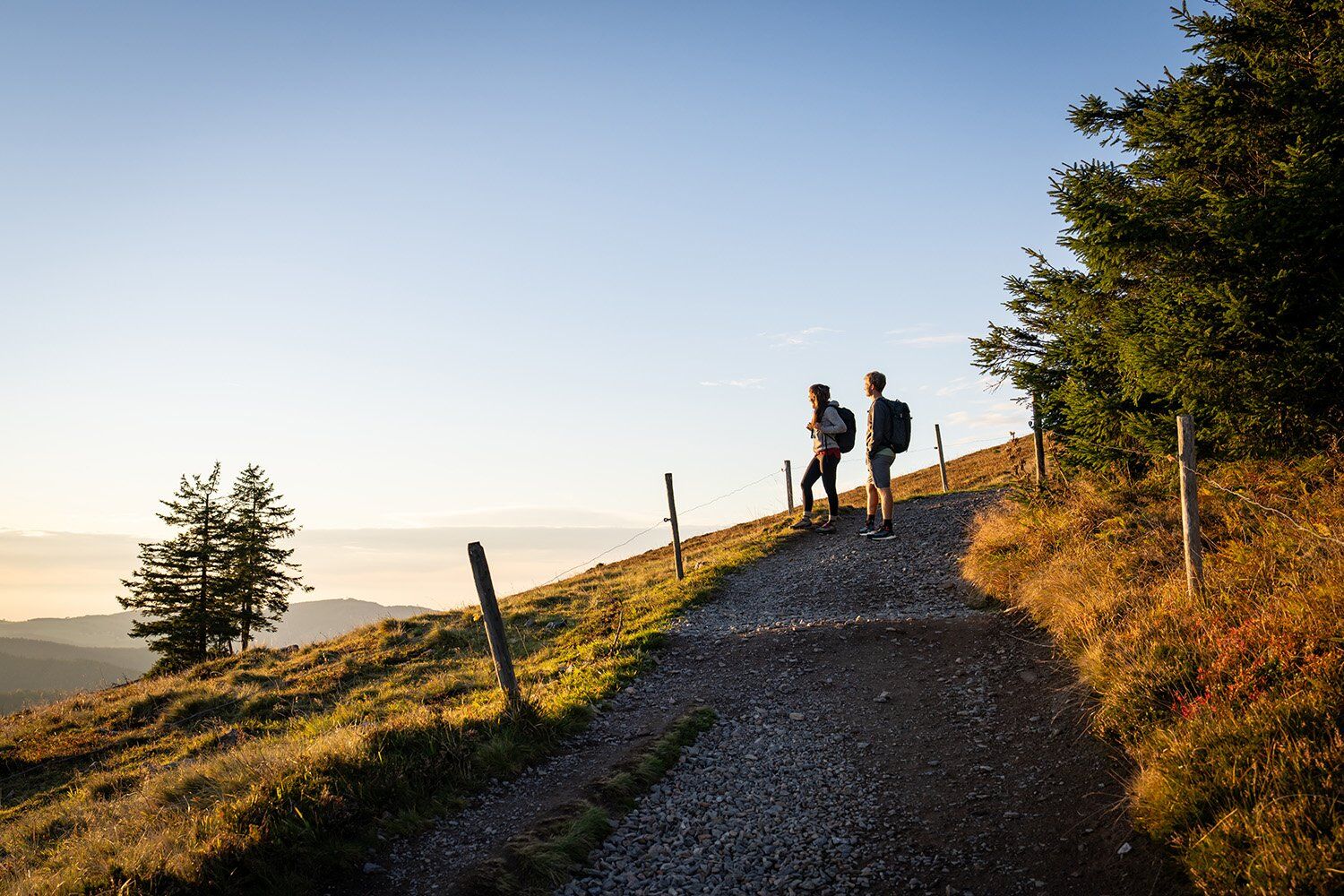
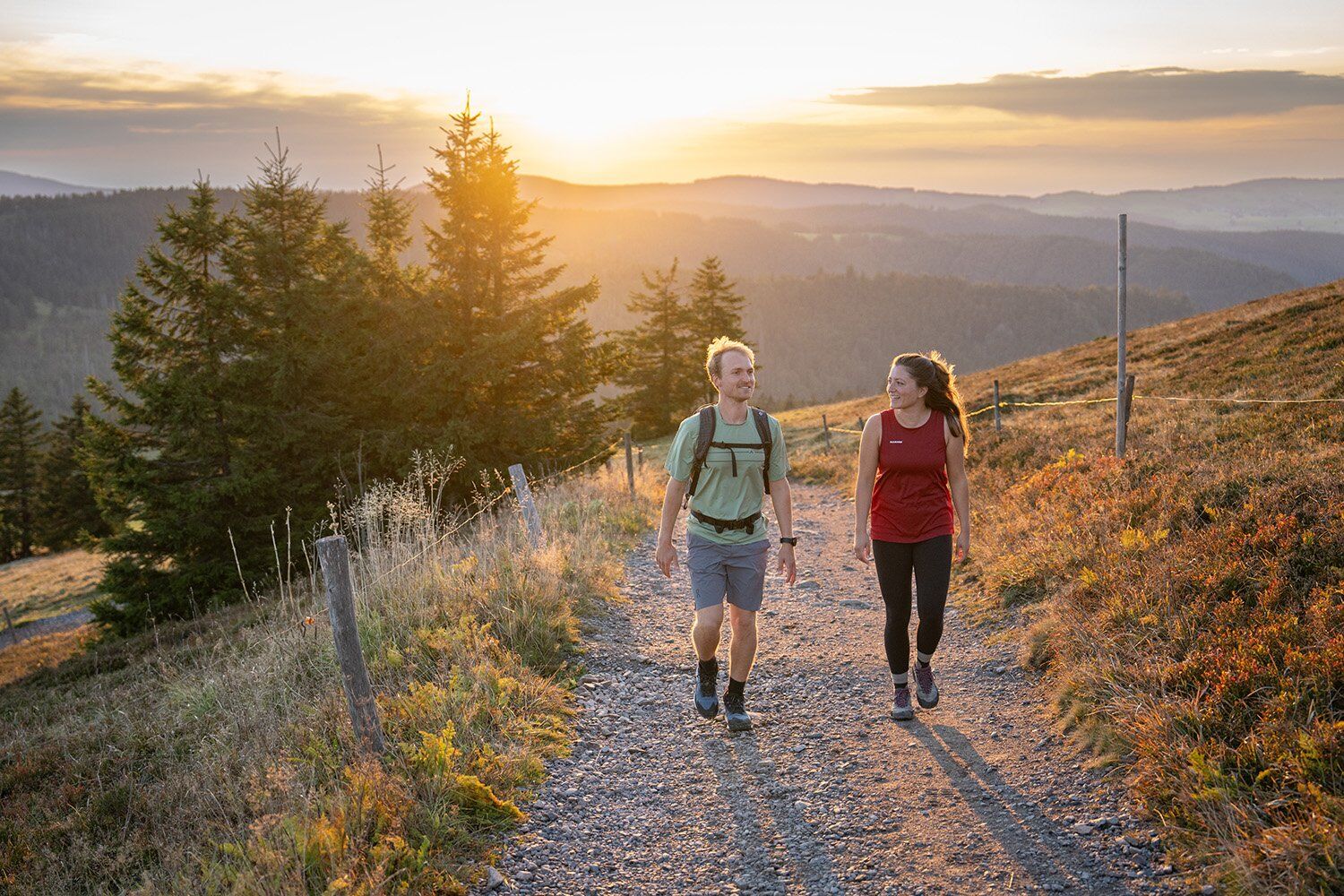


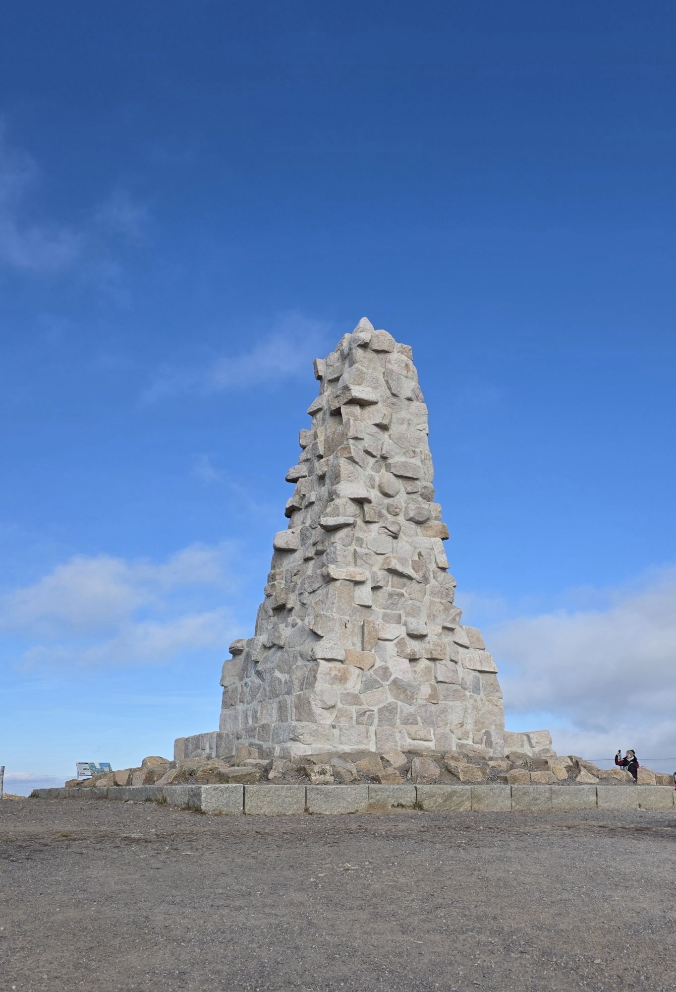
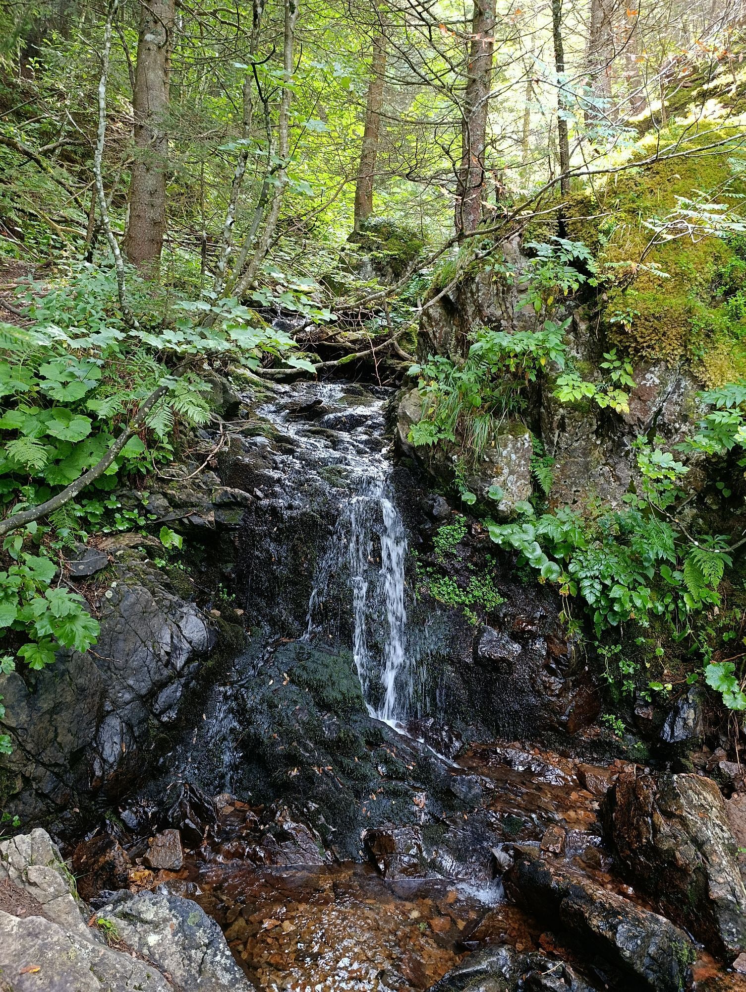
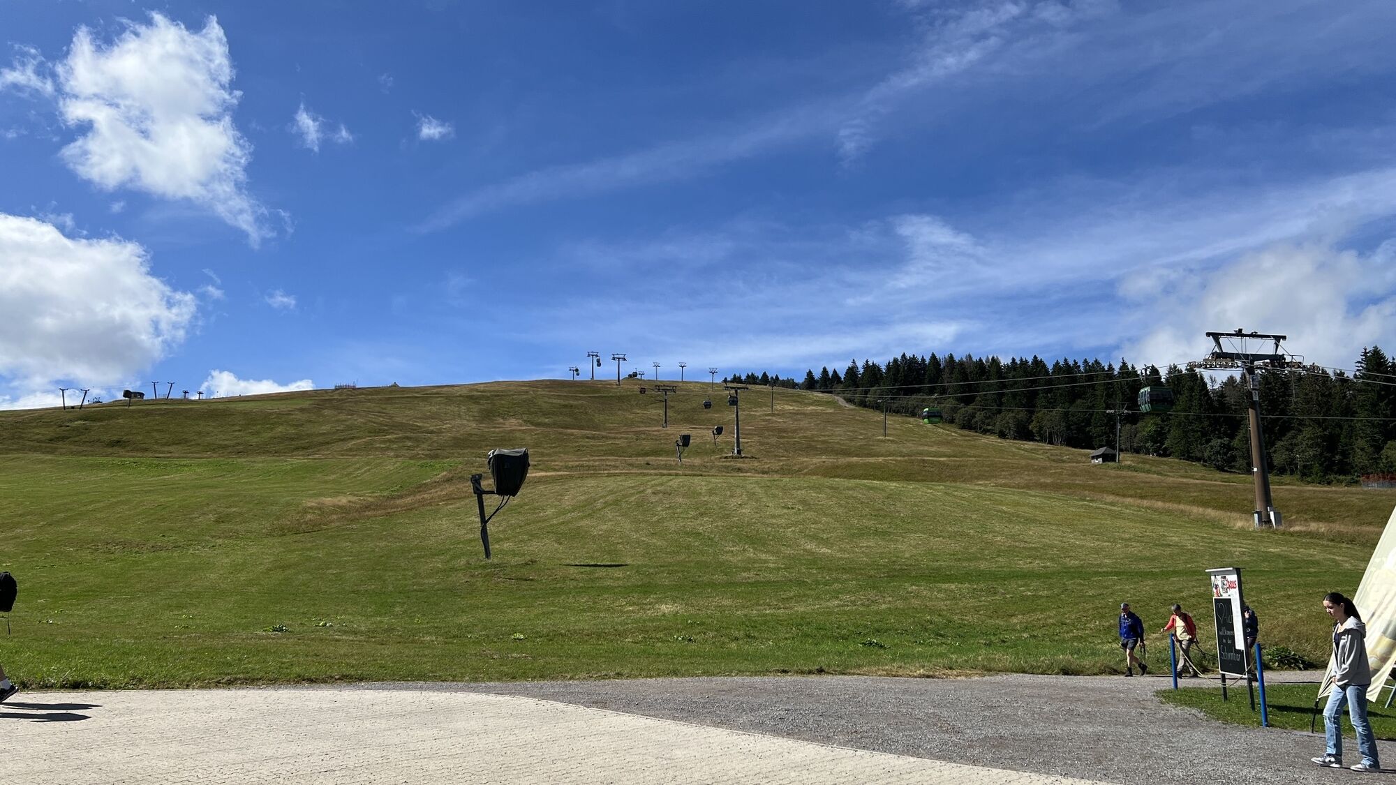
You start your tour in Feldberg-Ort behind the Haus der Natur (House of Nature) and it's a "crisp" ascent towards the Panorama Trail. As soon as you have climbed the first few meters, you will be rewarded for your efforts with a breathtaking view of the Vosges mountains to the west and the Swiss Alps to the south, weather permitting. After the ascent to the Bismarck monument, you will arrive at the Feldbergbahn mountain station, which we can take as an alternative to the ascent, at an altitude of 1450 meters. Pass the Feldberg tower and continue through the Grüblesattel to the Feldberg summit at 1493m. Then descend to the St. Wilhelmer Hütte (alternative route via the Todtnauer Hütte), Zastler Hütte and Baldenweger Hütte, where you can stop for a snack. This is where the actual trail begins - narrow paths, small bridges and a highly adventurous nature experience! The trail continues to the idyllically situated, 300-year-old Raimartihof farm, which will spoil you with delicacies in its cozy snack bars. You then hike between the 300 m steep slopes of the Feldberg and the shores of the Feldsee (Karsee, not a bathing lake) in the direction of Bannwald. The ascent takes you back to the Haus der Natur via the Karl-Egon-Weg.
Áno
Áno
We recommend sturdy shoes!
Please follow the recommended walking direction!
The Feldbergsteig is not suitable for baby carriages, but can be walked with children if they are sure-footed.
The trail is suitable for dogs. Please keep your dog on a lead and watch out for other hikers due to the narrow section of the trail and the pastureland.
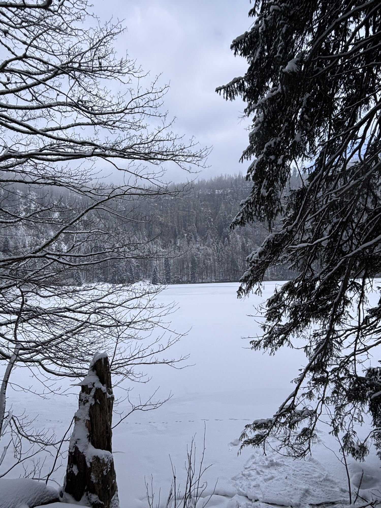
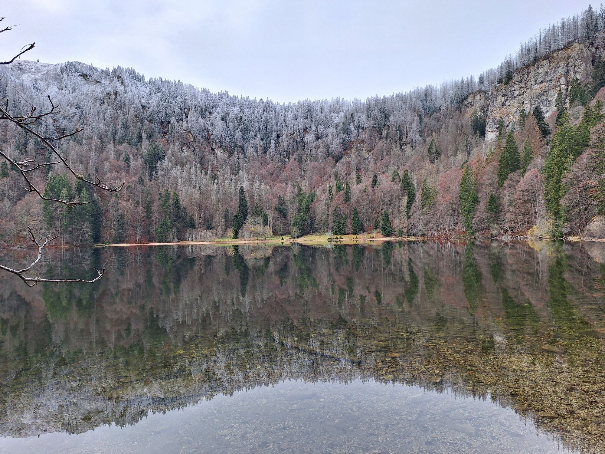
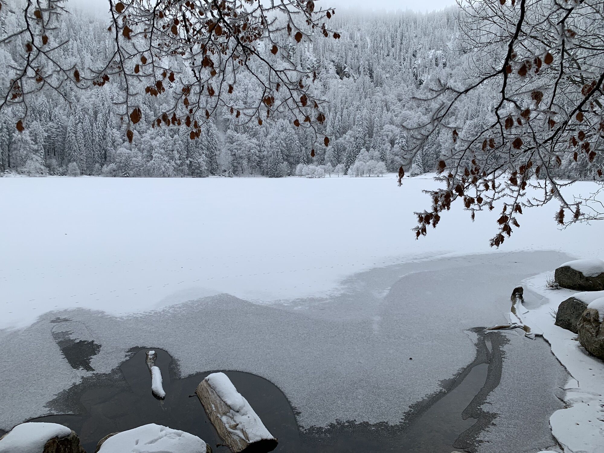
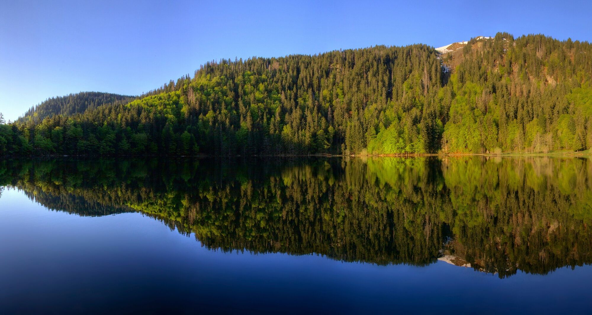
Enjoy the peace and quiet at Feldsee lake and relax with a short break. But beware: due to nature conservation regulations, it is not permitted to swim in the Feldsee.
Please pay attention to the signs on the hiking trail. You can find precise and detailed information about the signs and the hiking guidance system on our website. In emergencies, call 112.
Take B31 to Titisee-Neustadt, exit B317/B500 to Basel/Feldberg, stop at “am Seebuck” on the right
Bus 7300 from Titisee to Todtnau/Zell im Wiesental, get off at Feldberger Hof
Parking garage Feldberg/Seebuck
Áno
"Open your eyes" is the motto on the Black Forest premium hiking trails. Every trail has a stamping point in the form of a cuckoo clock. These offer the opportunity to document your hikes with stamps in your Hochschwarzwälder Wanderpass. Further information can be found on our website.
This project was supported by the Southern Black Forest Nature Park with funds from the state of Baden-Württemberg, the Glücksspirale lottery and the European Union (EAFRD).
There are public toilets in the Feldberg/Seebuck multi-storey parking lot (subject to a charge), in the Haus der Natur (subject to a charge) and at the valley station of the Feldbergbahn.
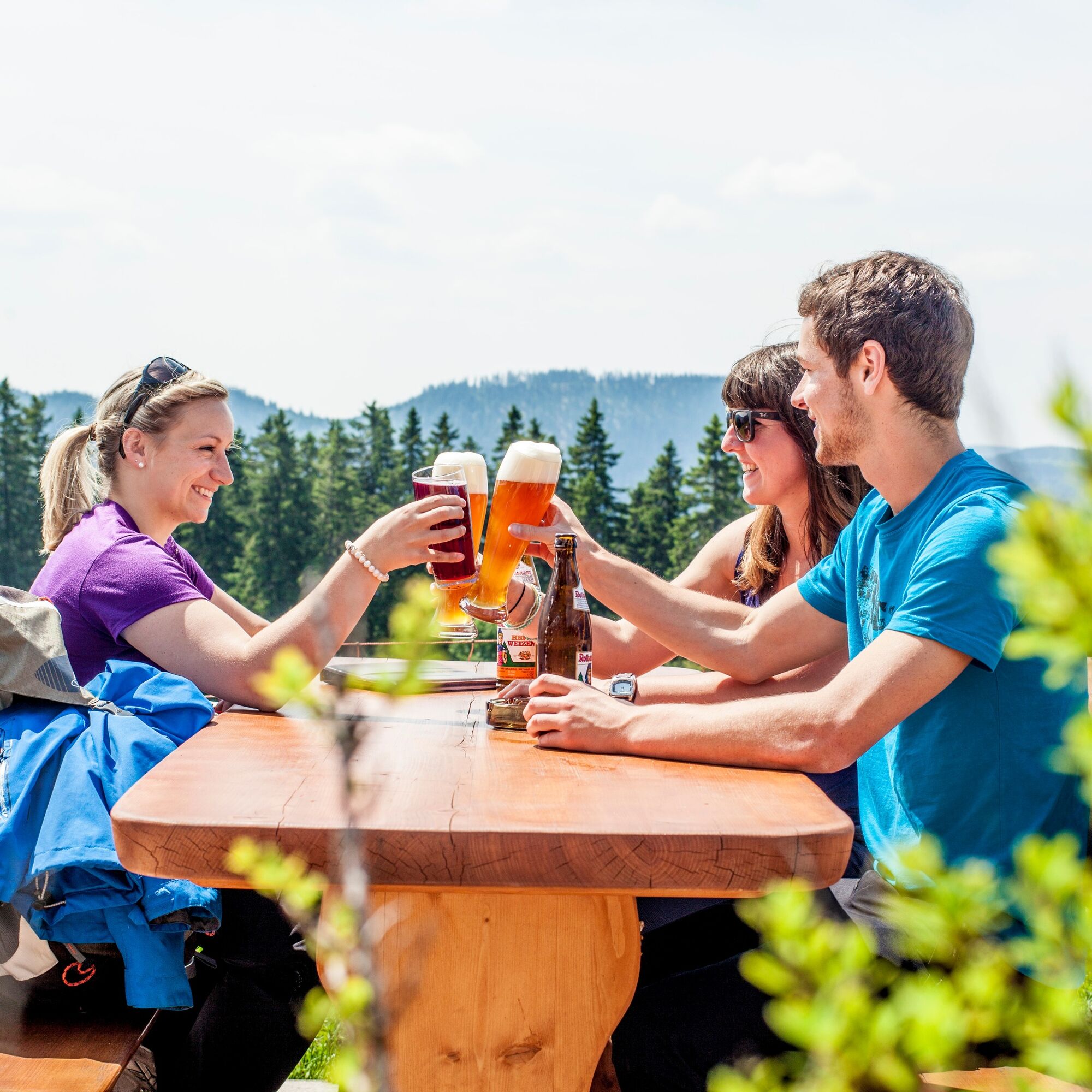
On the way up the Feldberg, you should stop off at one of the huts and enjoy a genuine Black Forest snack.


Webové kamery z prehliadky
-
Feldbergturm Seebuck Gipfel
-
Feldberg - Grafenmatt I
-
Seebuck Bergstation
-
Todtnauberg - Bucklift
-
Seebuck Talstation
-
Hofeck Talstation
-
Feldberg - Opelhaus
-
Menzenschwander Hütte - Feldberg
-
Menzenschwand Hinterdorf
-
Bergstation Mösle - Menzenschwand
-
Skilift Schwinbach - Menzenschwand
-
Radon Revital Bad - Menzenschwand
-
Menzenschwander Hütte - Feldberg
-
Skilifte Stollenbach
-
Scheuermatthof
-
Stollenbach
-
Todtnauer Hütte
-
Feldberg - Fahl
-
Todtnauberg
-
Todtnauberg Stübenwasenlift
Získajte prehľad
Vždy naživo na mieste s viac ako 9 500 webovými kamerami. bergfex Ako používateľ Pro si teraz môžete pozrieť príslušné webové kamery pre mnohé zájazdy v aplikácii zájazdy z. Môžete si tak priamo prezerať aktuálne podmienky.
Obľúbené výlety v okolí
-
4,7
Black Forest Highlands heritage trail - mills and saws in the gorge
strednáTuristika 7,42 km -
3,8
Seerundweg Titisee
svetloTuristika 5,84 km -
4,2
Belchensteig
strednáTuristika 14,8 km -
4,1
Höhenklimaweg Titisee-Rundweg
strednáTuristika 7,44 km -
3,9
From Titisee to the Hochfirst with its stunning views
strednáTuristika 10,6 km -
3,8
Premium Hiking Trail- Säbelthomaweg
strednáTematická trasa 11,3 km -
4,2
Ravennaschlucht
Turistika 6,90 km -
4,8
Sonnenaufgang und Feldbergsteig
strednáTuristika 11,6 km -
4,0
Altitude on the Herzogenhorn
strednáTuristika 11,1 km -
5,0
Premium Hiking Trail - Menzenschwander Geißenpfad
strednáTematická trasa 9,78 km
Turistika a stopovanie


Nenechajte si ujsť ponuky a inšpiráciu na ďalšiu dovolenku
Vaša e-mailová adresa bol pridaný do poštového zoznamu.





