


5. Baiersbronn - Trailrun Huzenbach
The route offers plenty of variety and has all the facets a trailrun needs! Starting from the Tourist-Info Huzenbach, the street and the tracks are crossed and then it goes directly up a path. The landscape...
The route offers plenty of variety and has all the facets a trailrun needs! Starting from the Tourist-Info Huzenbach, the street and the tracks are crossed and then it goes directly up a path. The landscape and the view at the highest point make the ascent worthwhile! The route profile is very pleasant and the landscape offers continually varied impressions and an exciting time running.

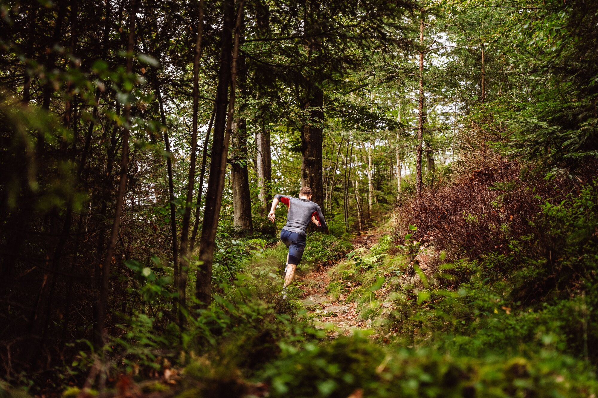
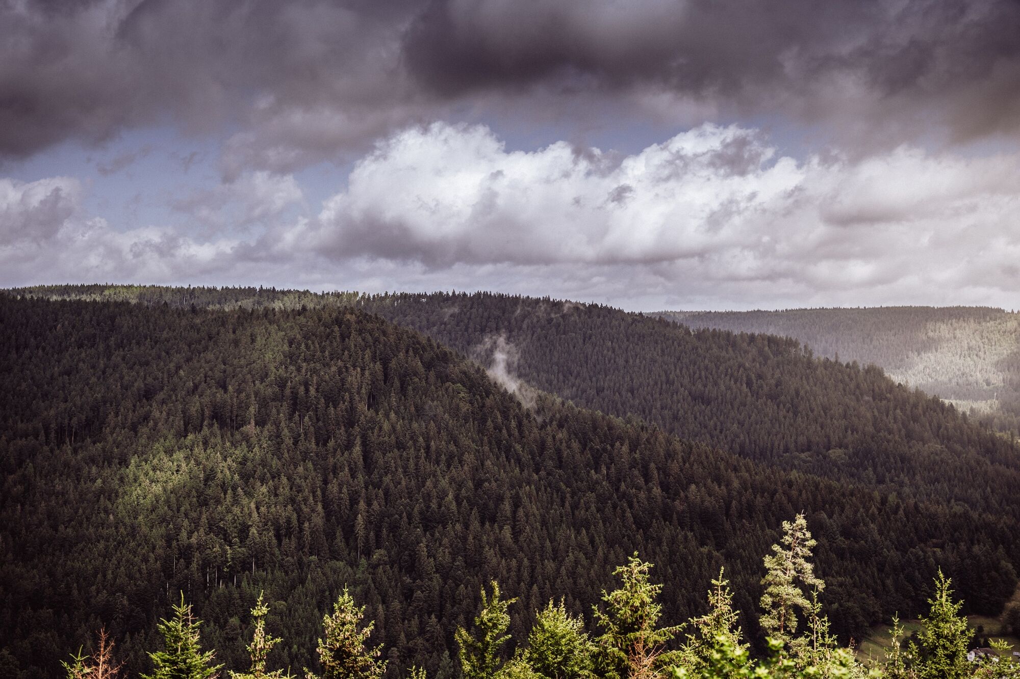
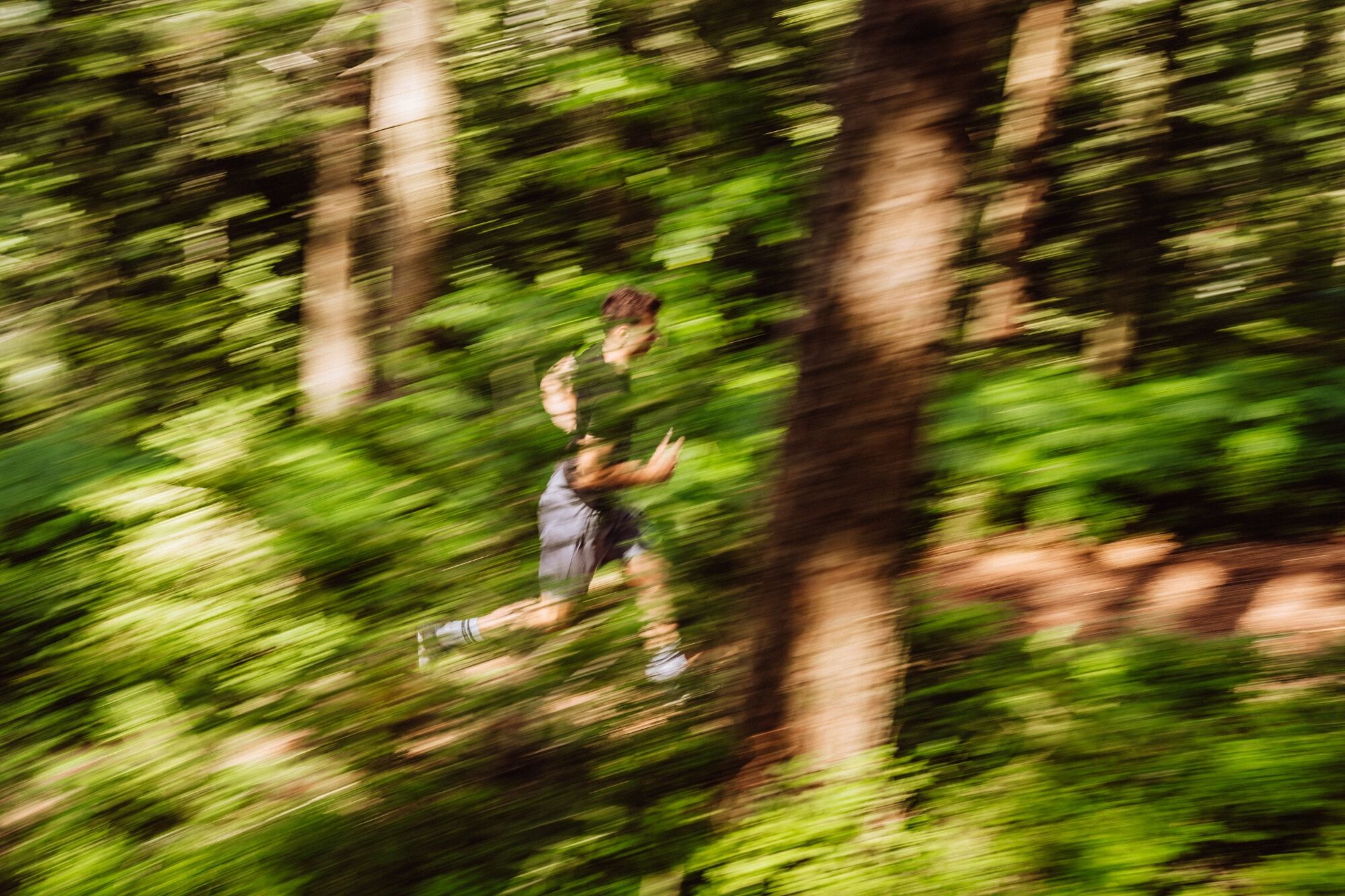
The route starts at the Tourist-Info Huzenbach. From there, the street is crossed and the path leads over the Murg river to the first trail upwards. Through a forest path, athletes reach the first viewpoint, the Blockhütte Sonne. Via forest roads and paths, the route leads towards Roten Rain. From there, it goes downhill back to the start of the trail run.
Equipment
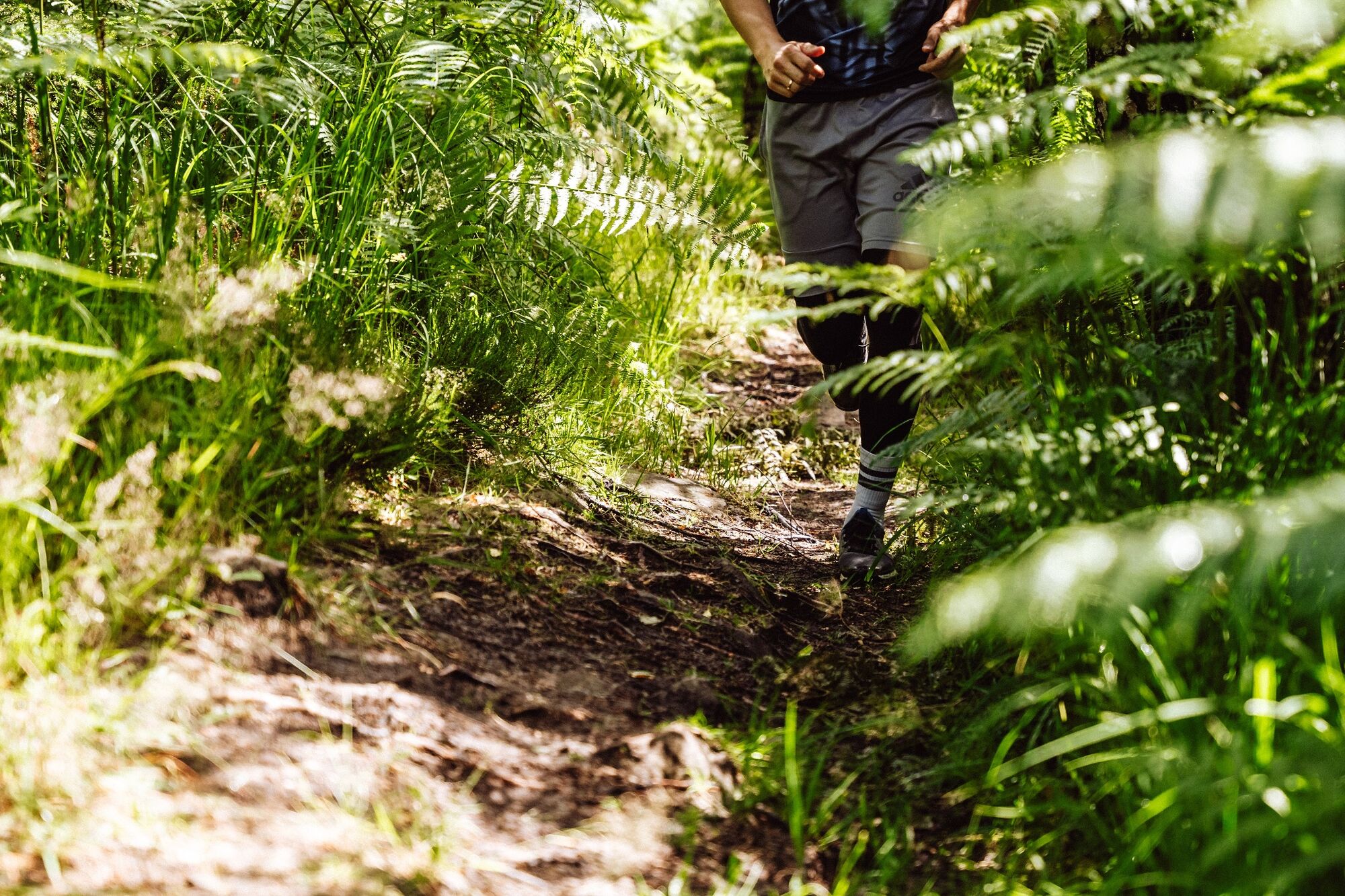
Running shoes with tread (trailrunning shoes if possible) Drinks Suitable clothing (breathable) If necessary: trailrunning polesPlease check in advance about local trail closures or in the Baiersbronn hiking information center whether the route is open. Tel.: +49 7442 8414-66.
In the national park area, there are seasonal trail closures in the wildlife protection areas, especially in winter seasonal trail closures. In particularly sensitive areas, these may extend beyond winter.
!The existing trails must not be left!
!On the routes, unnecessary noise, loud music or similar must be avoided as nature and fauna are disturbed!
!Littering is strictly prohibited. All waste must be collected and properly disposed of!
!Sportsmanship and consideration for all athletes and nature lovers applies on the routes!
By car:
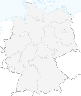
From Baiersbronn towards Rastatt (Murgtalstraße B462) From Rastatt towards Baiersbronn (Murgtalstraße B462)S-Bahn stop: Huzenbach
Parking lot Touristinfo Huzenbach (free of charge)
Trailrunning poles are recommended for this route
Obľúbené výlety v okolí
-
4,7
Kniebiser Heimatpfad - Wandern mit Genuss
svetloTuristika 9,07 km -
4,0
Sankenbachwasserfälle und Glasmännlehütte am Stöckerkopf
strednáTuristika 12,8 km -
5,0
Naturgewalten-Tour
Turistika 15,6 km -
5,0
Bannwald-Tour
Turistika 13,3 km -
4,7
premium hiking trail Enzquellenpfad
strednáTuristika 19,9 km -
4,0
Kaltenbronn Circular Route No. 1 - Wildsee Moor Loop
svetloTuristika 8,30 km -
5,0
Kniebis-Sankenbachwasserfälle-Sankenbachsee
strednáTuristika 7,98 km -
4,3
Nature experience tour Kaltenbronn
strednáTuristika 14,2 km -
4,0
Eiszeit-Tour
Turistika 11,7 km -
2,6
Genießerpfad zum Panoramastüble
Turistika 10,6 km

Turistika a stopovanie


Nenechajte si ujsť ponuky a inšpiráciu na ďalšiu dovolenku
Vaša e-mailová adresa bol pridaný do poštového zoznamu.