







Jockele's Flößerweg in and around Enzklösterle



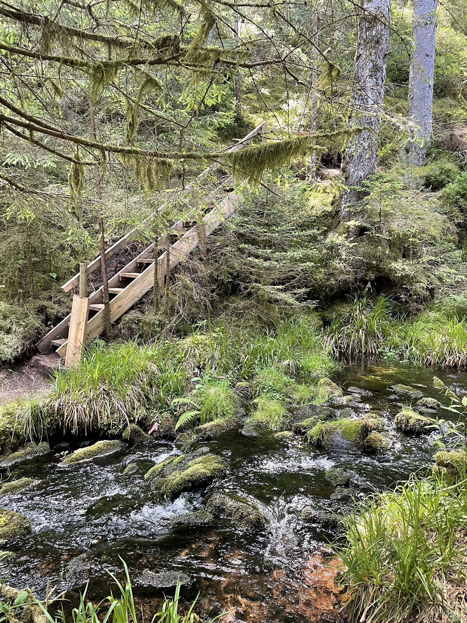
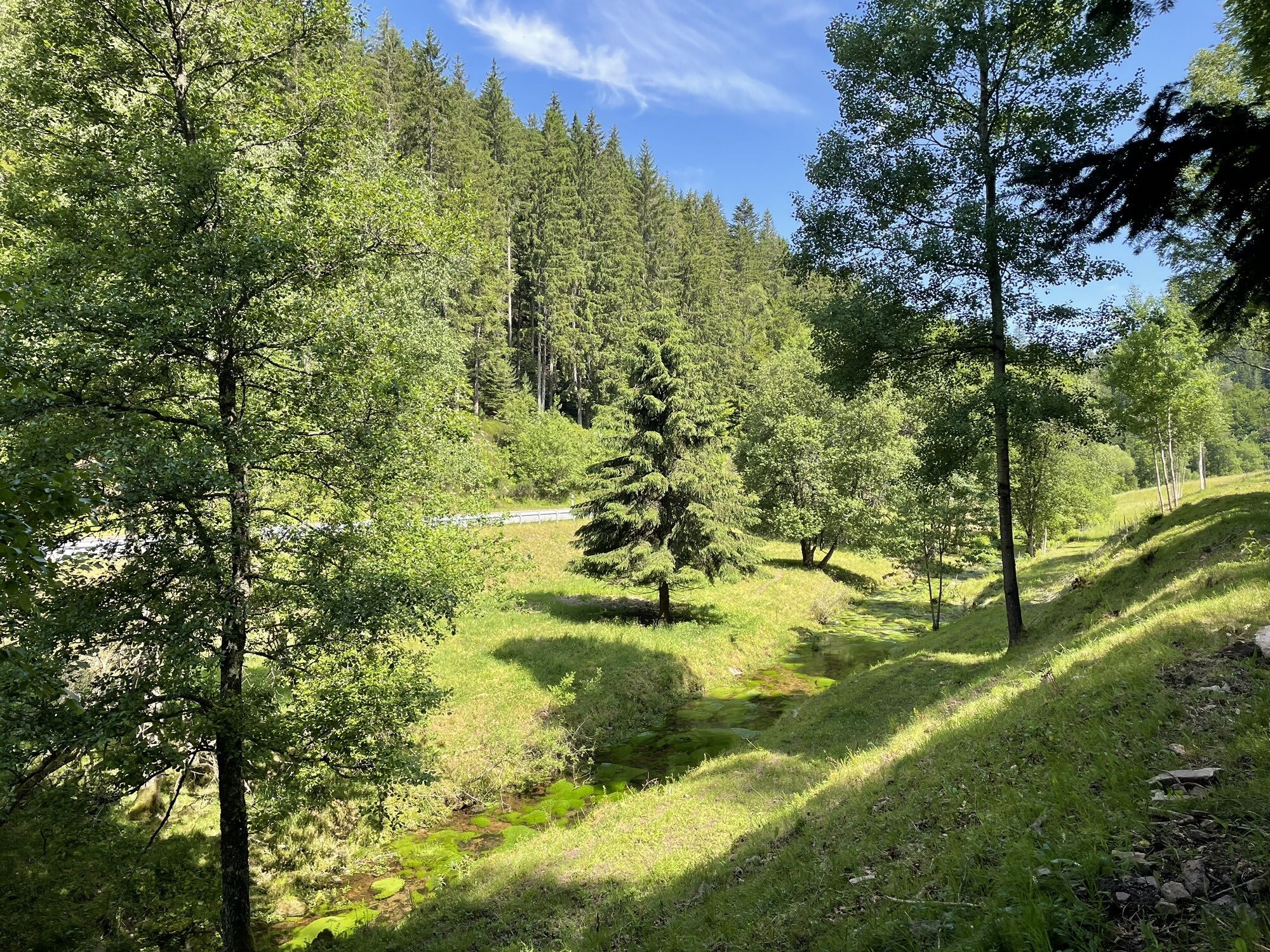
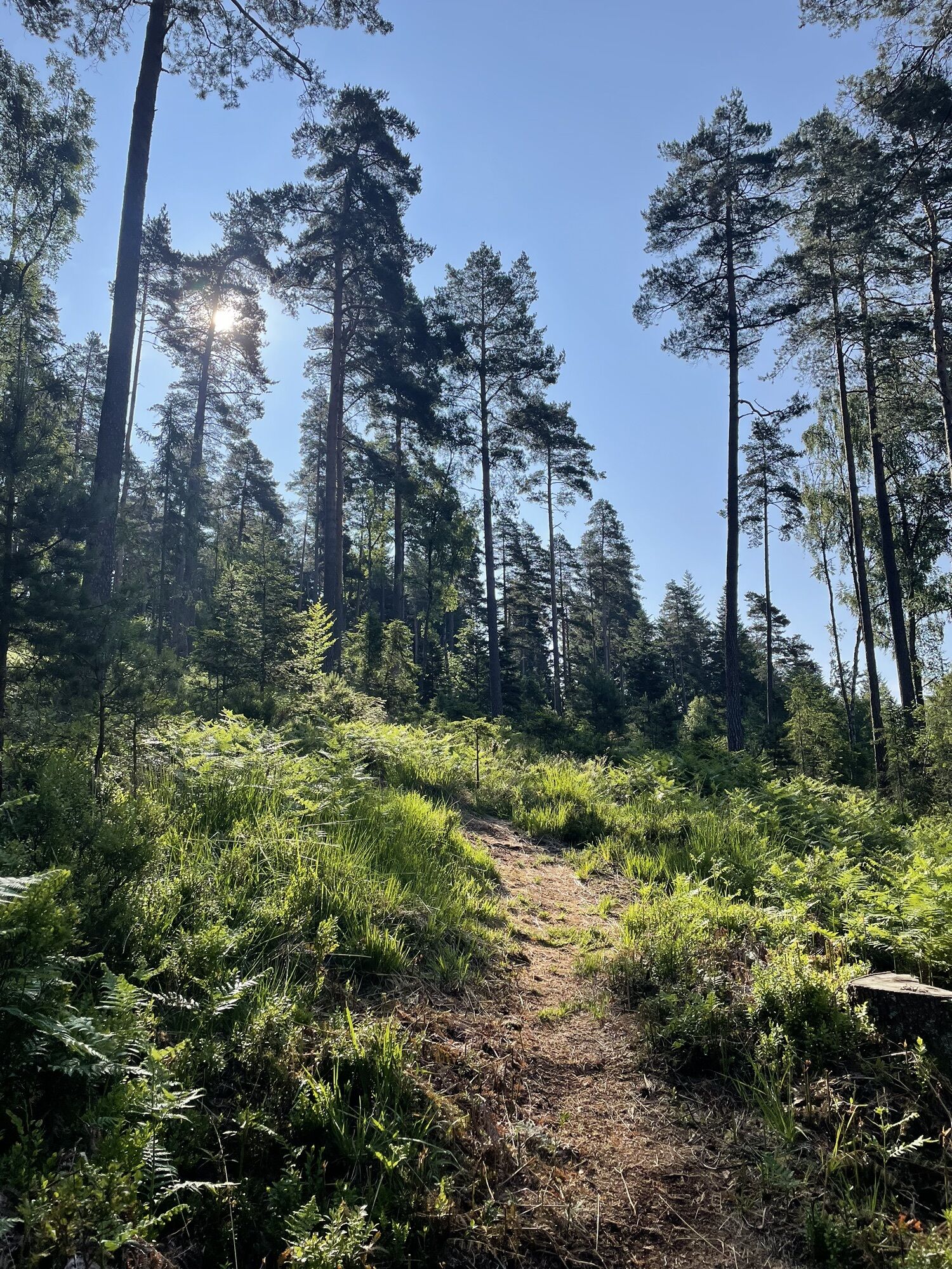
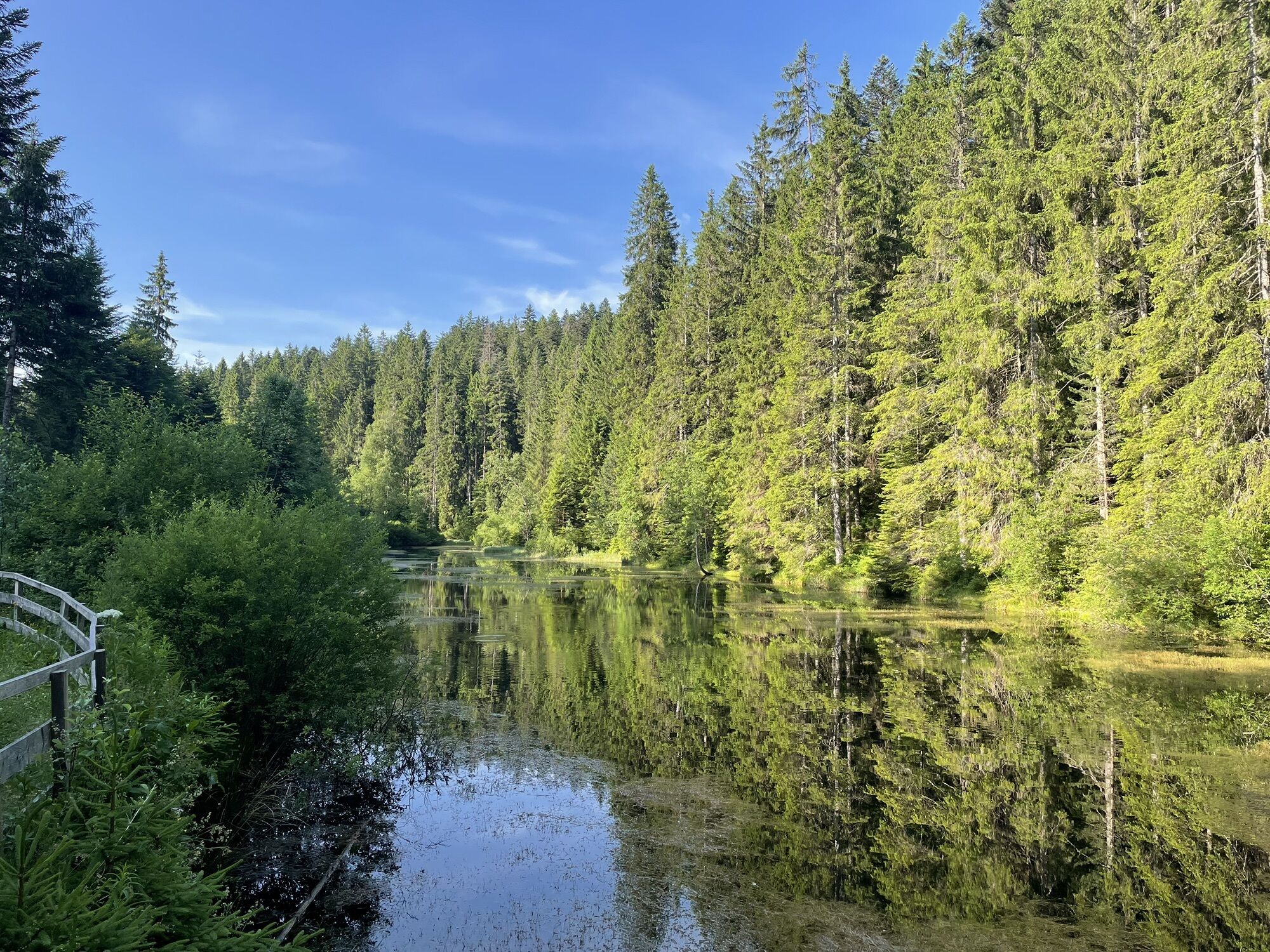

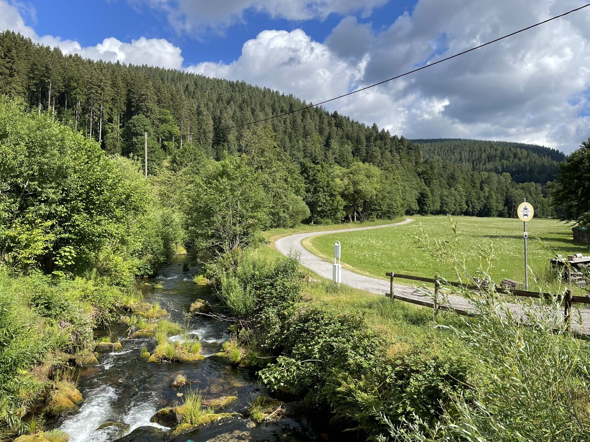
Along the approximately 23-kilometer route, many historical highlights of Enzklösterle can be discovered:
- Raft with information panel in the Kurpark
- Cultural monument Rußhütte
- Grill area in the Rohnbachtal...
Along the approximately 23-kilometer route, many historical highlights of Enzklösterle can be discovered:
- Raft with information panel in the Kurpark
- Cultural monument Rußhütte
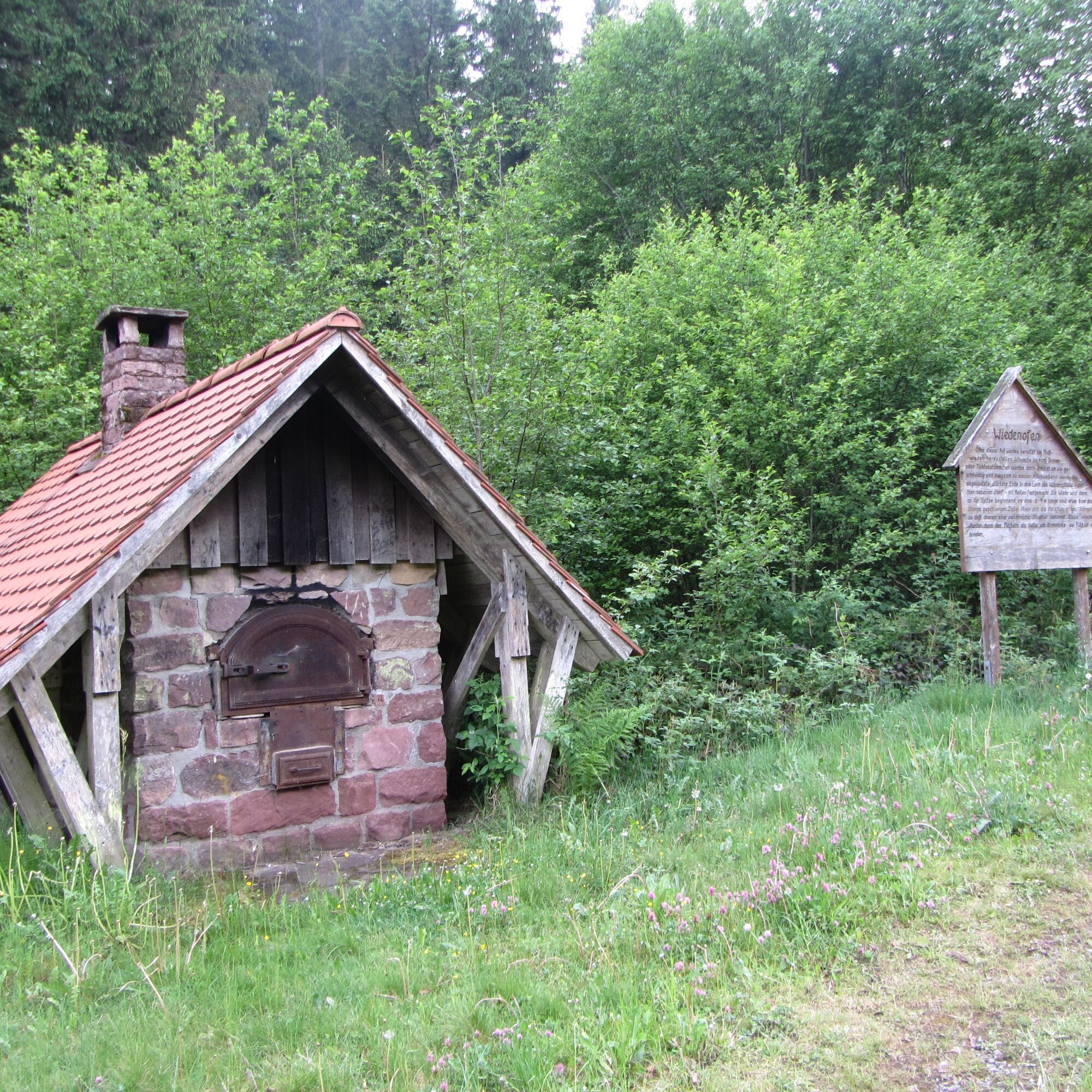
- Grill area in the Rohnbachtal valley with an open-air museum on "Old forest professions" (Wiedenofen)
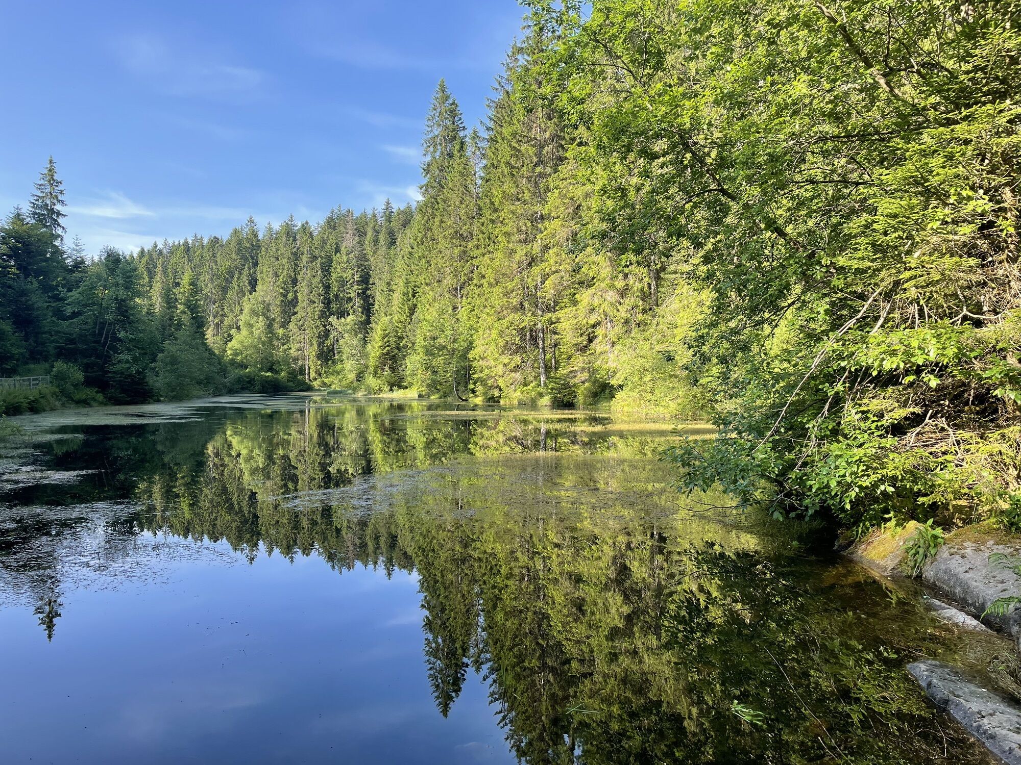
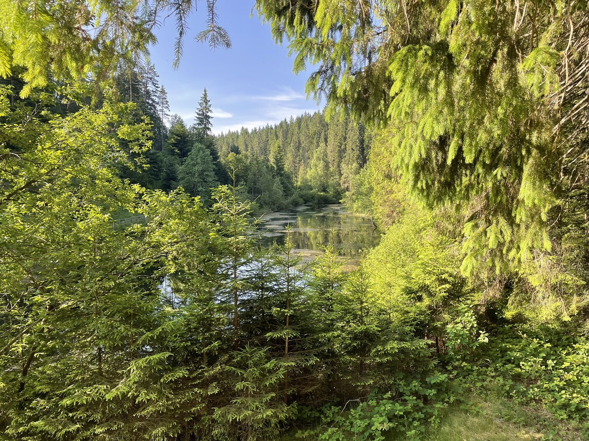
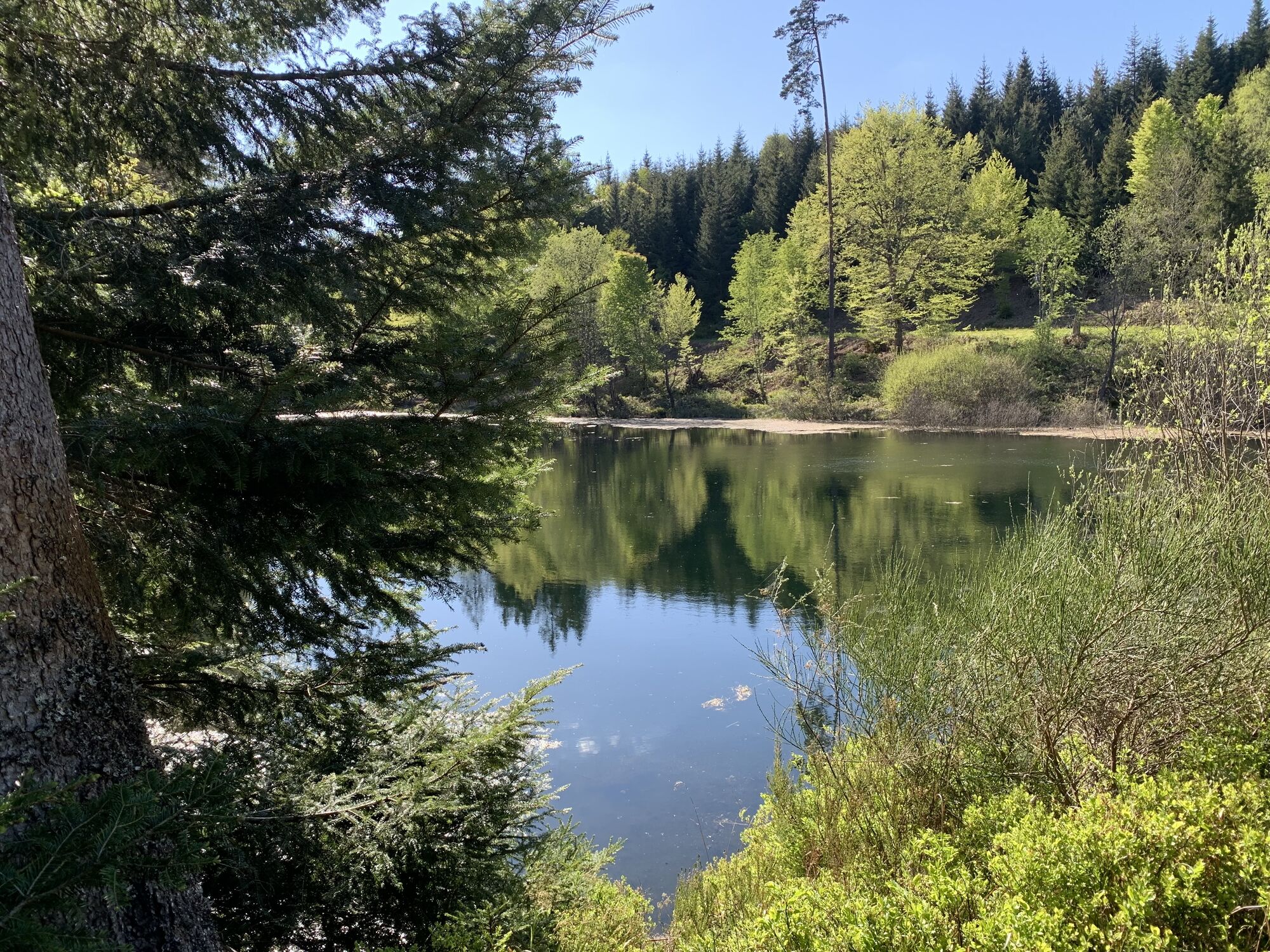
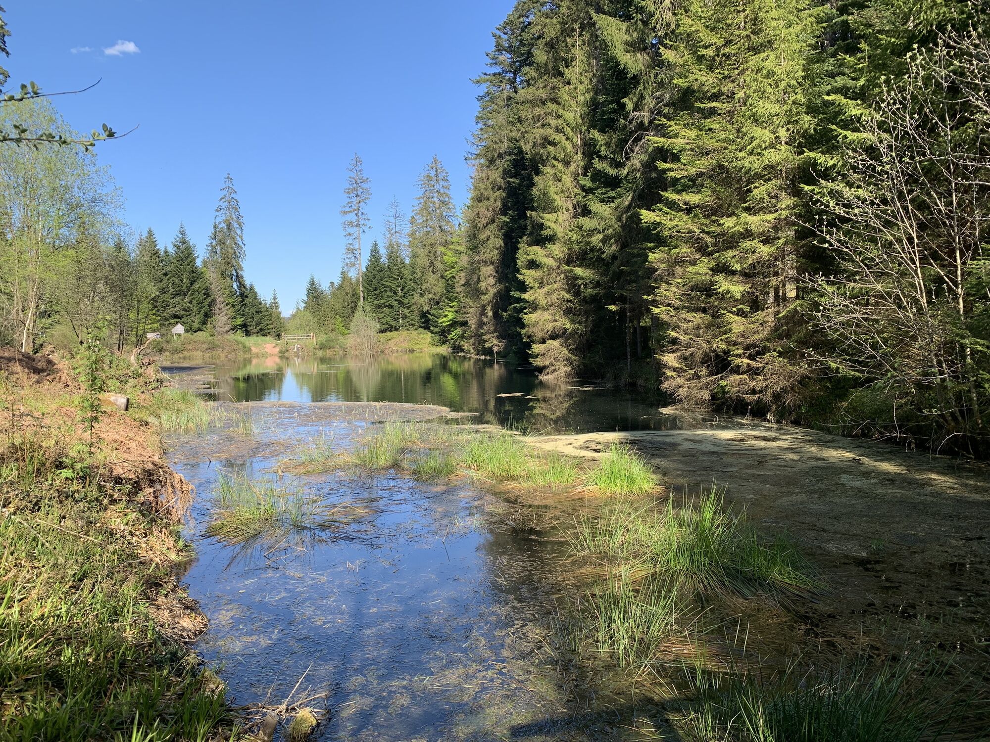
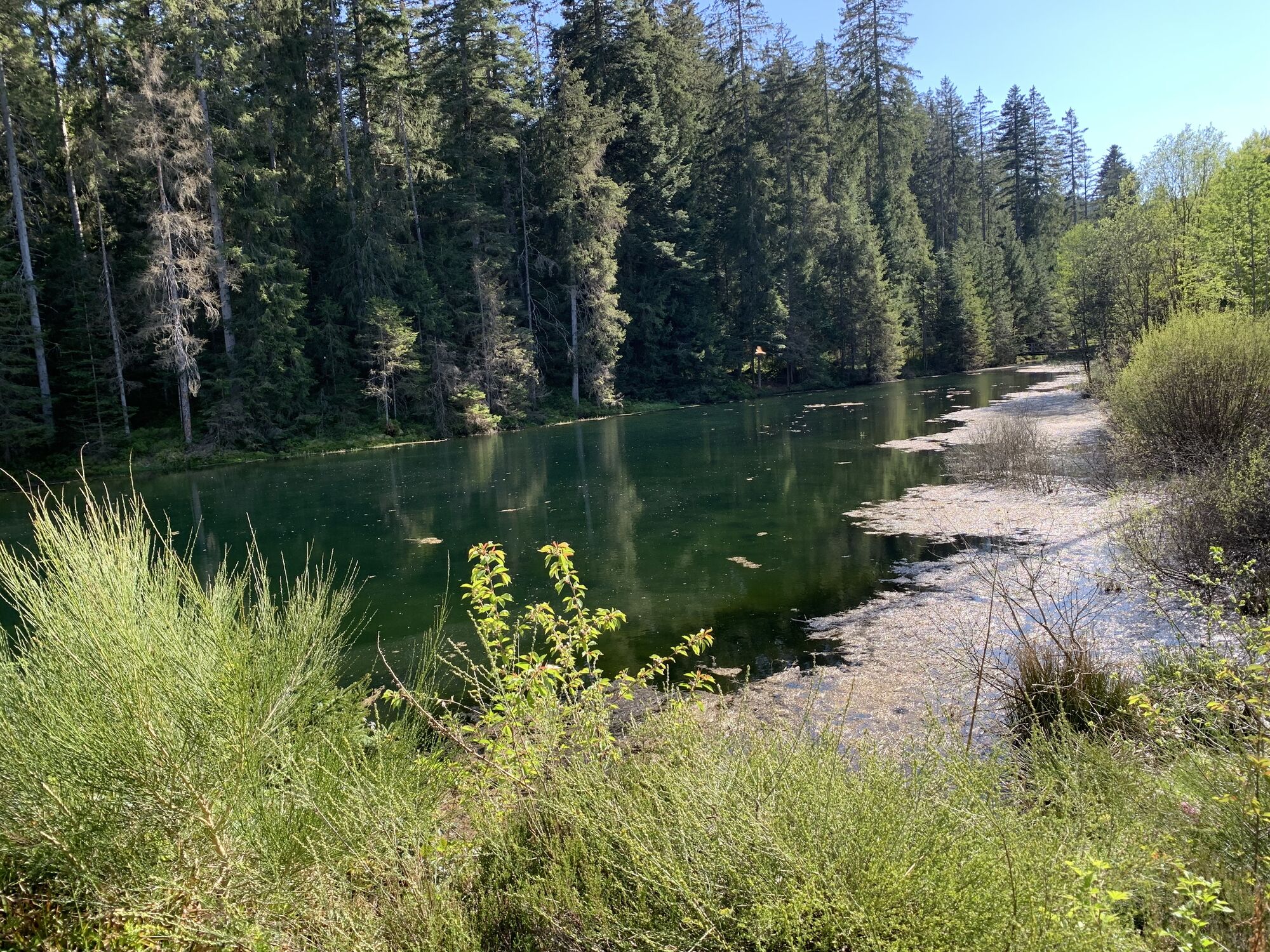
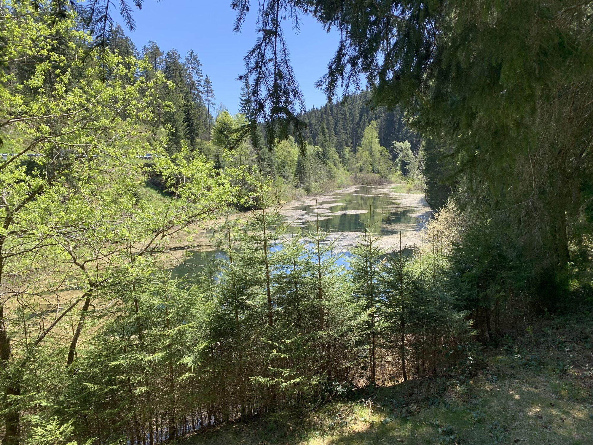
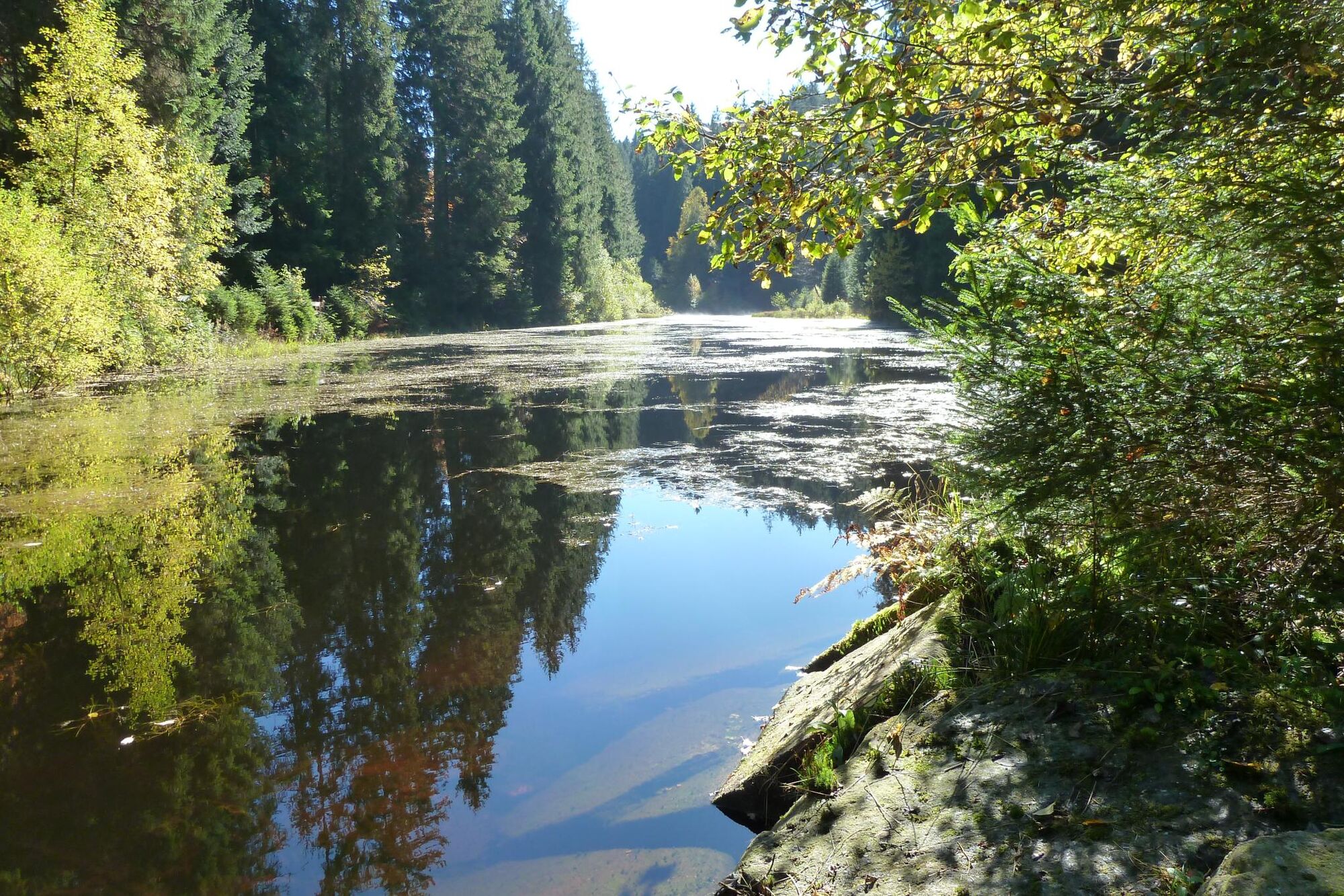
- Kaltenbachsee (former raft lake)
- Poppelsee (former raft lake)
The route can also be wonderfully done in several stages. Use your KONUS guest card as an overnight guest to, for example, return from Poppeltal back to Enzklösterle by bus.
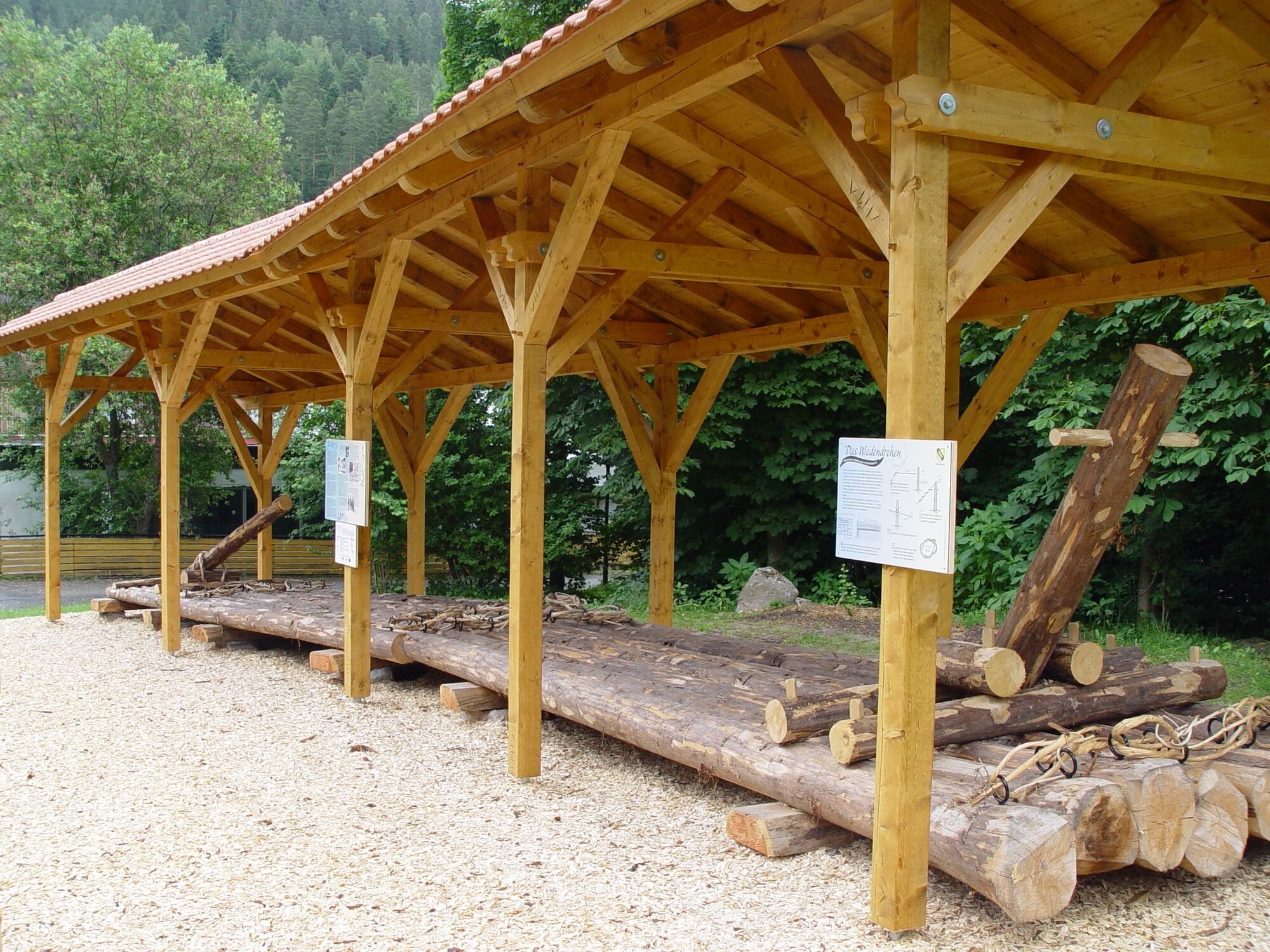
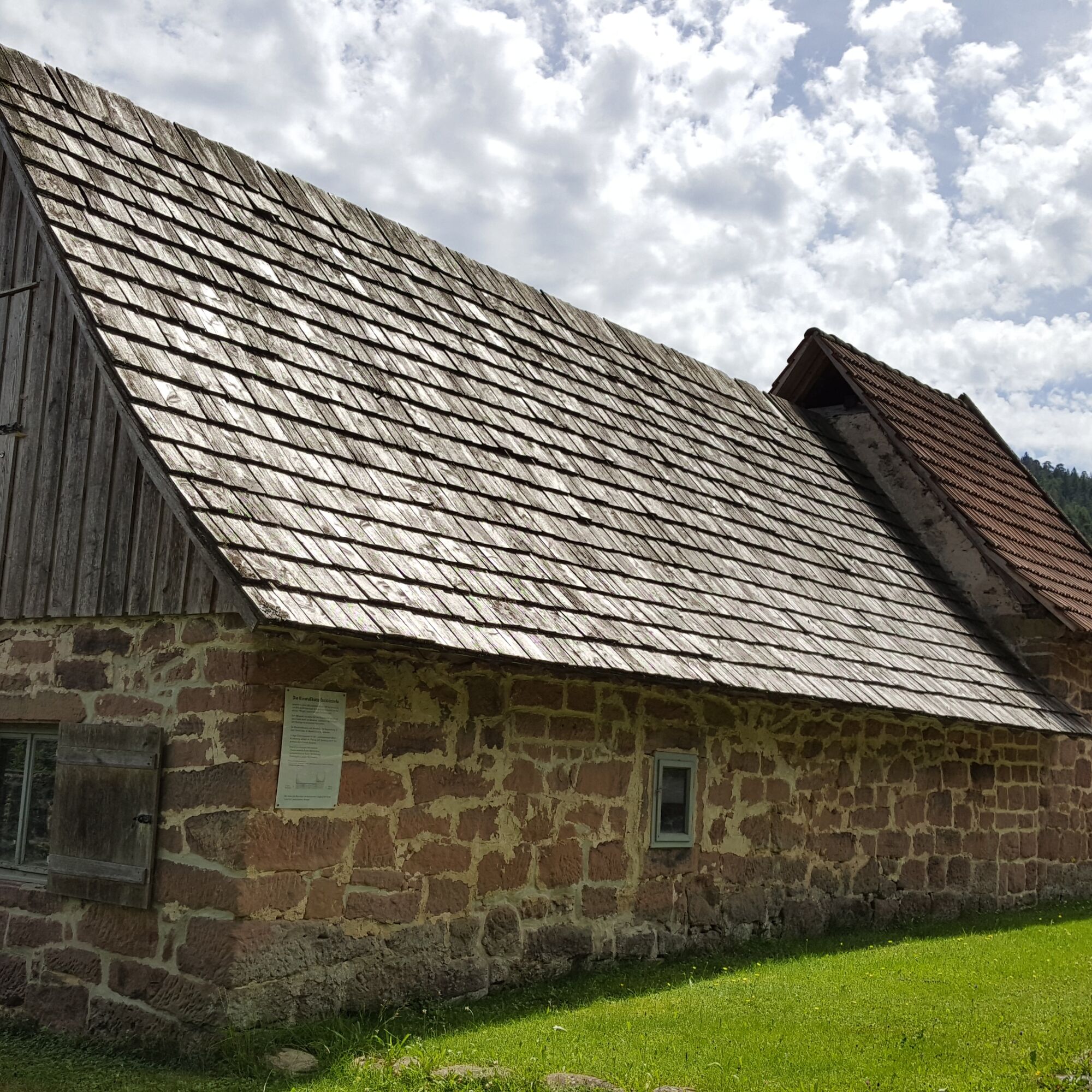
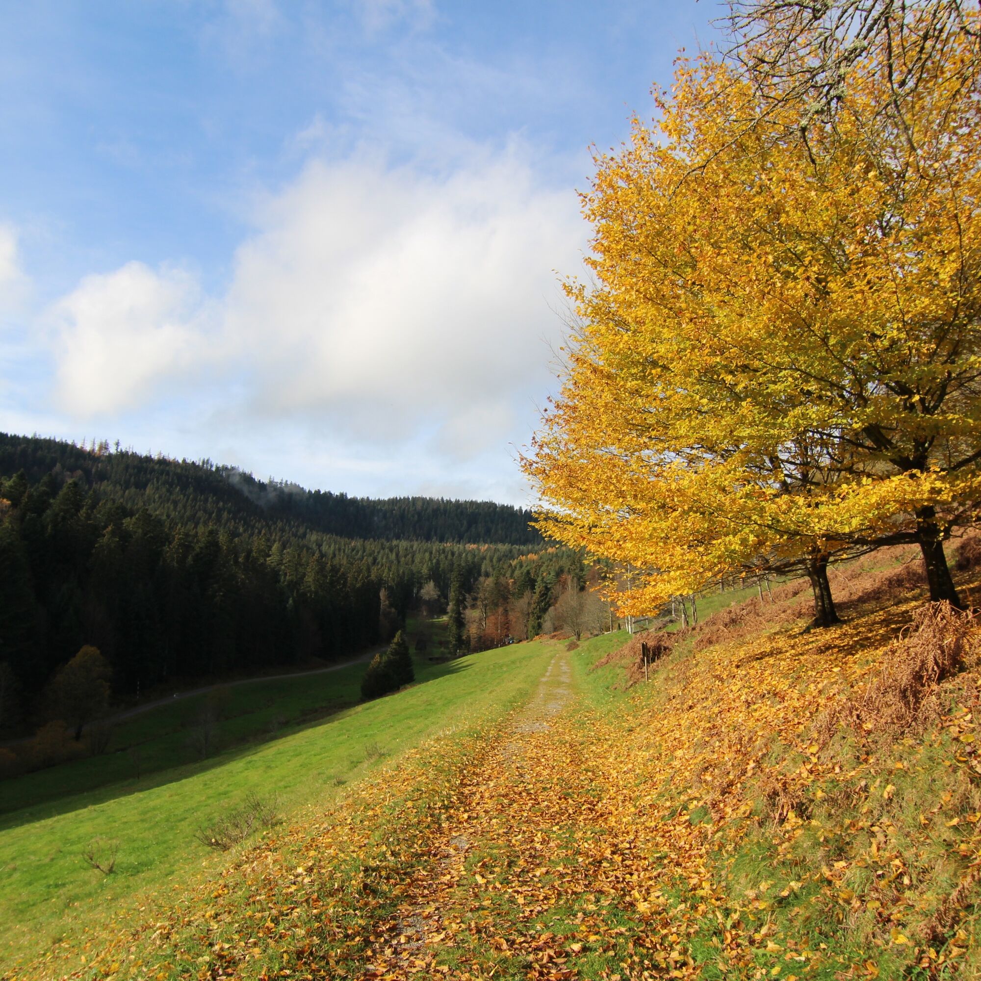

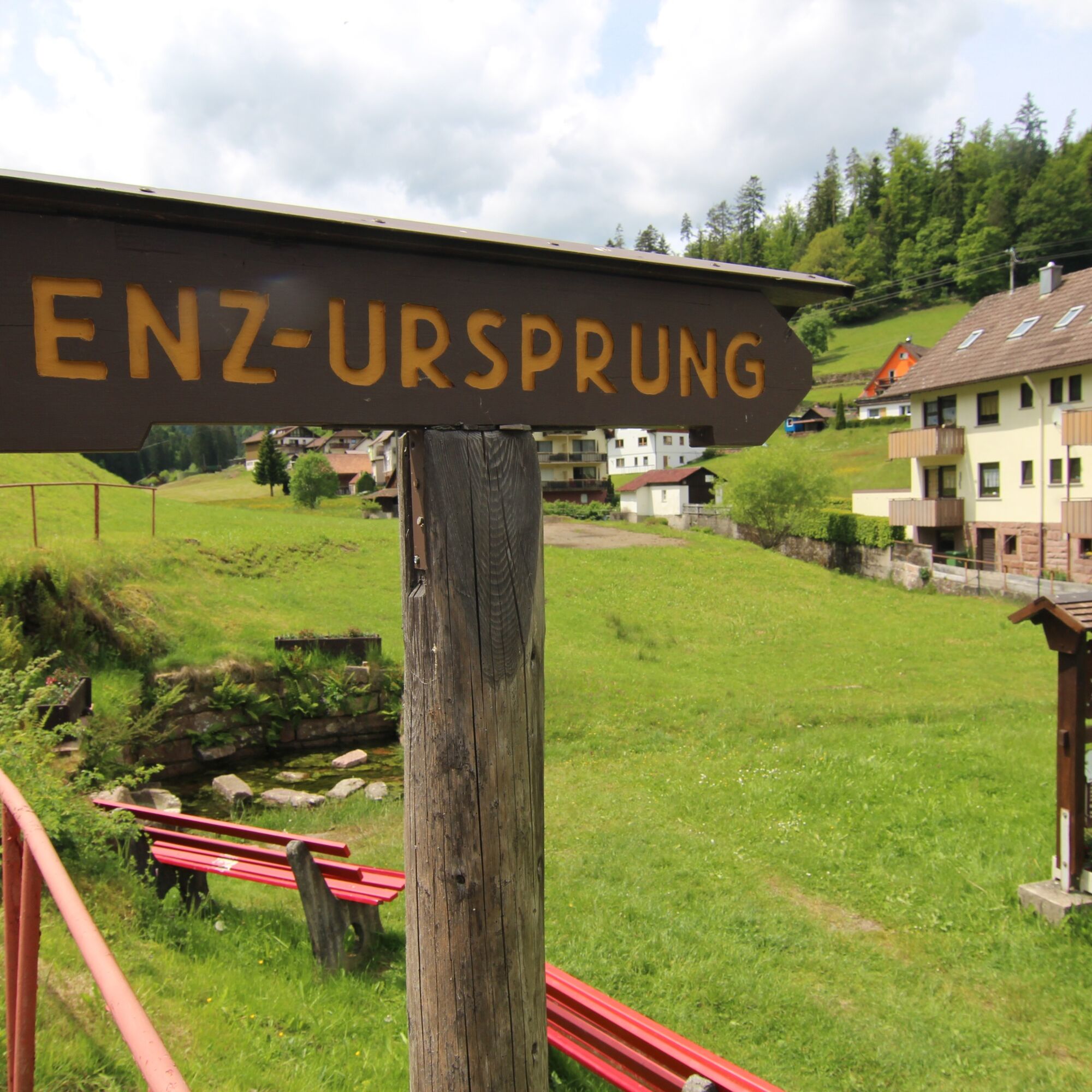
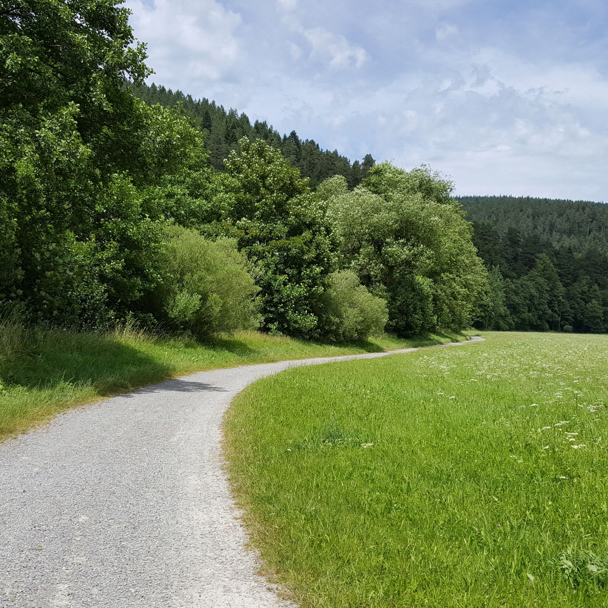

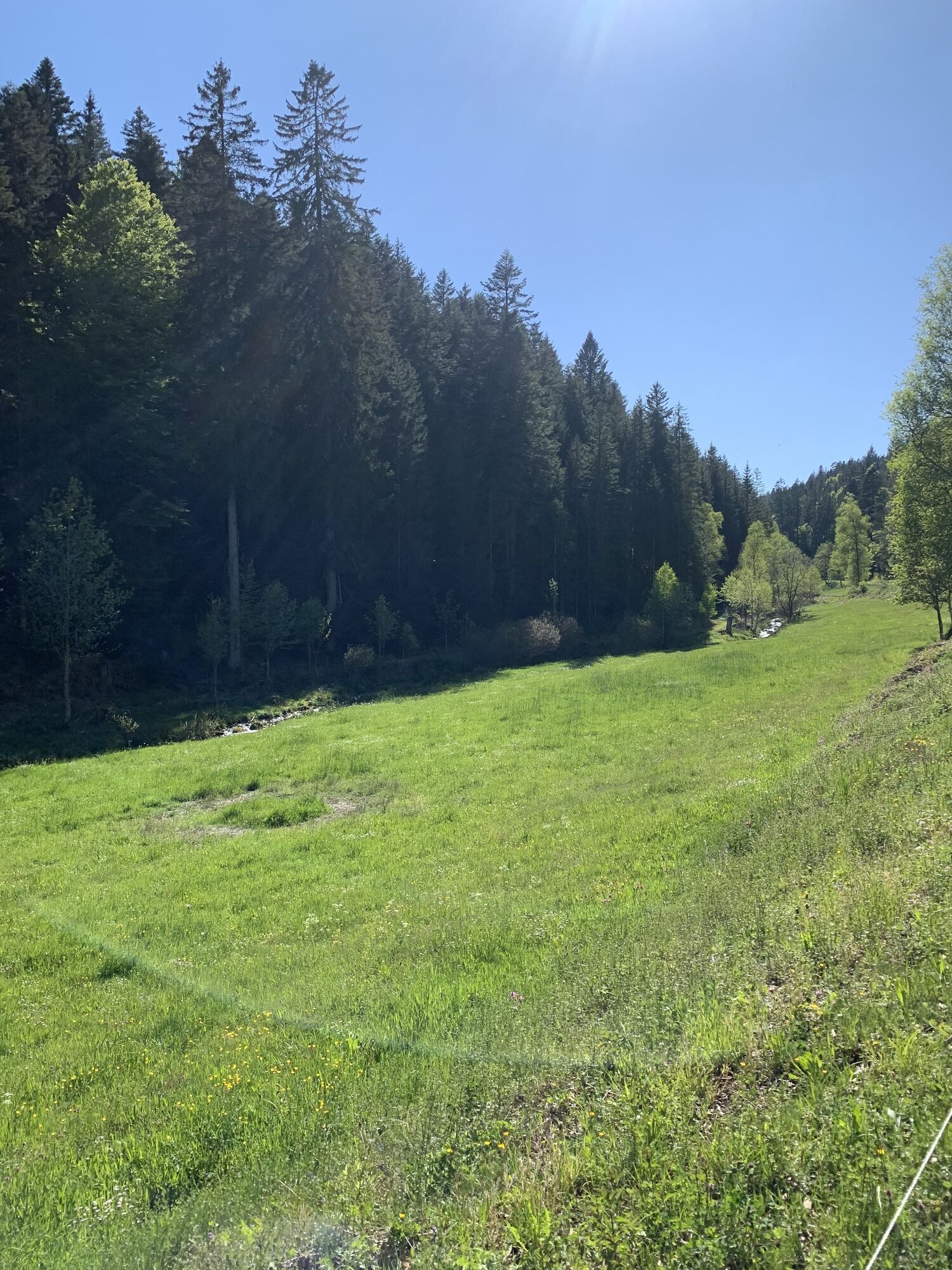
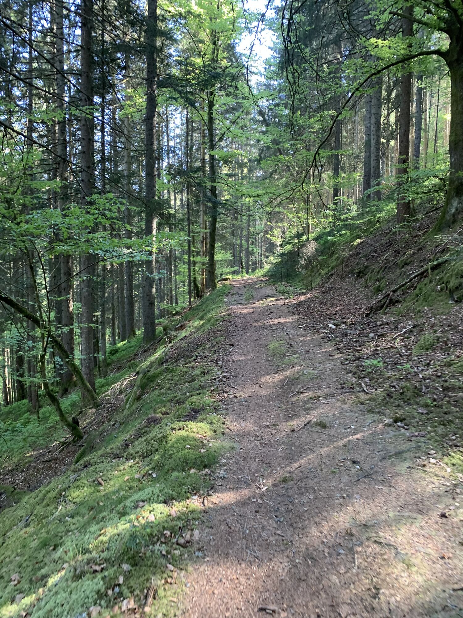
The circular route begins in the Kurpark of Enzklösterle at the information panel of the Flößerweg by the raft near the Kurpark lake. We walk up through the Kurpark towards the tourist information, turn right at the end of the park onto Friedenstraße, and hike upwards towards Hirschtalstraße (keep slightly to the left). After crossing the Hirschbach stream, the path turns left onto Bergweg. This leads the hiker along the forest edge into the Rohnbachtal valley. On this section, a small detour to the cultural monument Rußhütte is worthwhile (turn from Bergweg into Köhlerweg, then immediately on the right side).
On arriving at Rohnbachtalstraße, follow the path a short way upstream, then cross the Rohnbach stream on the left-turning path and go up to the hiking car park. Turning right, the path runs above the Rohnbach stream and reaches the grill area, where a small open-air museum on "Old forest professions" is located. Among other things, you can learn about the production of thickets at the Wiedeofen, which are needed for the construction of wild stream rafts.
We return on the same path to Rohnbachtalstraße, leaving the Bergweg we came up on to the left, and continue hiking down the valley road. Before the Zwink carpentry, a path sharply turns right into Langenhardtweg. We follow the signpost towards Bärlochkar and thus reach the car park for the circular route around Bärlochkar. We follow this circular route for a short distance but then continue our hike towards Gompelscheuer (following the yellow diamond to Gompelscheuer). In Gompelscheuer, follow the signposts for "Jockele's Flößerweg" again. On Kaltenbachweg (following the blue diamond), we finally reach the first Flößersee (Flößerstube), the Kaltenbachsee. On the opposite side of the valley, we return and descend to Gompelscheuer. In the valley of Poppelbach, where the road also leads, we continue hiking towards Poppeltal and the giant slide. On a narrow path, we finally reach the second remaining Flößerstube in Enzklösterle, the Poppelsee.
On the opposite hillside, we descend back into the Enz valley above Poppeltal and Gompelscheuer. At Petersmühle, we cross the road and the Enz river, pass by the fish hatchery to the sports fields of Enzklösterle. Between the sports fields, a path leads to the Enz and down across the Rohnbachtalstraße, which we cross, onto the Enz promenade. Following this downstream, we reach the old Hotel Hetschelhof. Ascending on the right, we come to Freudenstädter Straße. On the pedestrian path, we go down into the town center, passing the hotel inns Schwarzwaldhof and Hirsch. Behind Hirsch, the path turns left into the Kurpark and leads back to the starting point of our hike.
Áno
Hiking boots, weather-appropriate clothing, possibly hiking poles, and something to drink.
B 294 from Pforzheim to Calmbach, then on to K 4367 to Bad Wildbad, at the roundabout through the Meistern tunnel continuing on Kreisstraße 4367 to Enzklösterle. B 294 from the direction of Freudenstadt via Poppeltal to Enzklösterle.
B296 from Calw to Calmbach, then to Bad Wildbad and from there further via K 4367 to Enzklösterle.
Regiobus X78 (hourly) between Bad Wildbad, Enzklösterle, and Freudenstadt
F20 (weekends only, every 2 hours) between Altensteig, Simmersfeld, and Enzklösterle
Stop Adventure Golf Park
Free parking spaces are located in front of the Tourist Information Enzklösterle (starting point), Friedenstraße 16, 75337 Enzklösterle. Additionally, free parking is available at the sports hall (at the town entrance from Bad Wildbad, immediately on the left), in Hirschtal, and at Hetschelhof.
We recommend carrying a hiking map of the region (for example: hiking map "Upper Enz Valley", scale 1:35,000)
A visit to the Adventure Golf Park or the giant slide in Poppeltal is a must if you're traveling with children!
Obľúbené výlety v okolí
-
4,8
Eyach round
strednáTuristika 7,84 km -
4,3
Kaltenbronn Circular Route No. 1 - Wildsee Moor Loop
svetloTuristika 8,30 km -
4,7
premium hiking trail Enzquellenpfad
strednáTuristika 19,9 km -
2,7
Genießerpfad zum Panoramastüble
Turistika 10,6 km -
3,0
Dobel High-Altitude Route
strednáTuristika 11,8 km -
4,3
Nature experience tour Kaltenbronn
strednáTuristika 14,2 km -
4,8
Weisenbacher Steig (Rechts der Murg)
strednáTuristika 17,6 km -
4,0
Eiszeit-Tour
Turistika 11,7 km -
AugenBlick route Bad Herrenalb Schweizerkopf
strednáTuristika 15,5 km -
5,0
Holzmacher-Tour
Turistika 17,0 km
Turistika a stopovanie


Nenechajte si ujsť ponuky a inšpiráciu na ďalšiu dovolenku
Vaša e-mailová adresa bol pridaný do poštového zoznamu.





