







Around Neuweiler | Route 2

From the village square in Neuweiler (Town Hall), the path initially leads through lush meadows and wide fields to Hofstett. Continuing through deep green forest, you hike over the Schindelhardt area and...
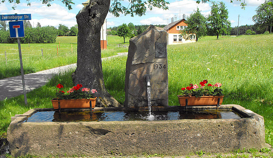
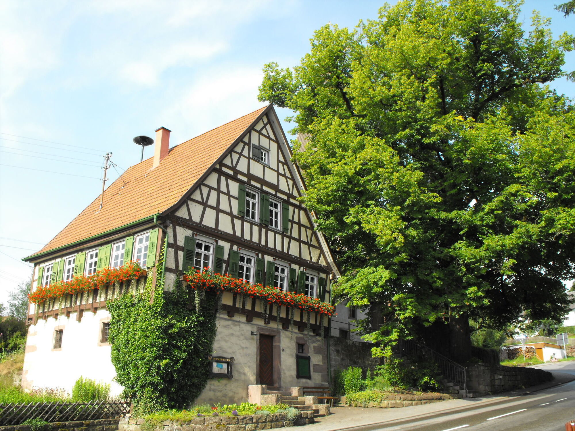
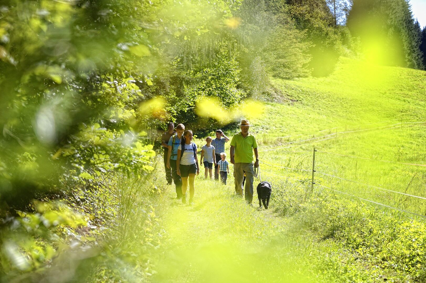
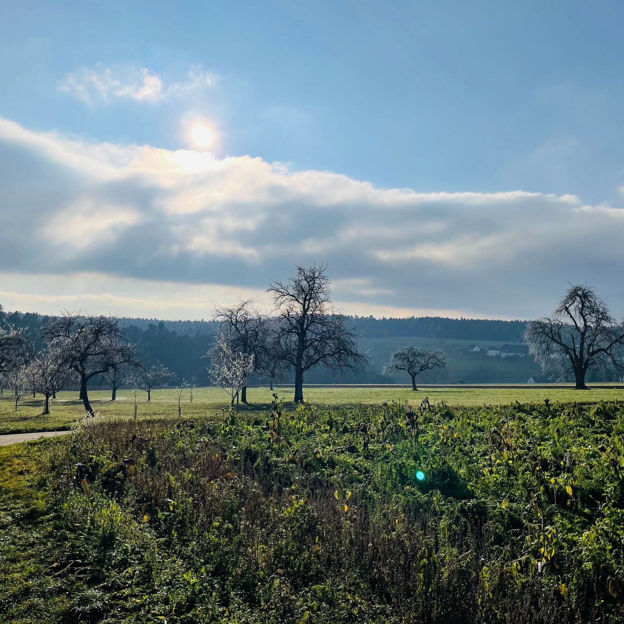
From the village square in Neuweiler (Town Hall), the path initially leads through lush meadows and wide fields to Hofstett. Continuing through deep green forest, you hike over the Schindelhardt area and Hofstetter Kreuz to Zwerenberg, a district of Neuweiler. From the so-called Petershöhe at 700 meters, shortly before Zwerenberg, you not only have a breathtaking view of several small villages, but this is also where the village's own historical trail begins, leading deep into Neuweiler's Black Forest history. Continuing along the main street in the village, you pass the church and the "Zwerenberg Lamb" to the left onto a forest path that leads directly back to Neuweiler. The natural path gradually descends here until it goes slightly uphill again via the Sommerhalde back to Neuweiler. Leaving the forest, you walk past meadows and fields again, cross the district road, and arrive at the starting point of the hike, in the center of Neuweiler - the village square and the town hall.
Signage and trail network of the Black Forest Association.
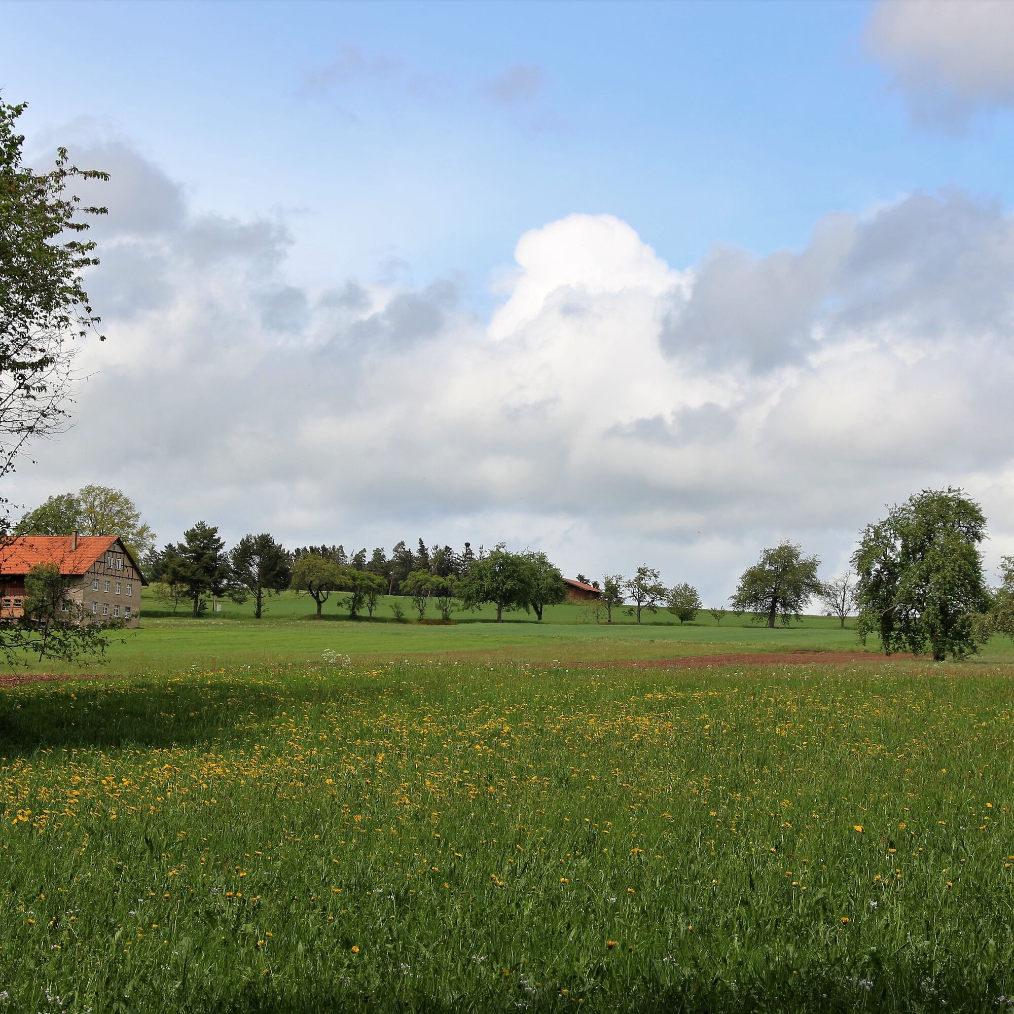
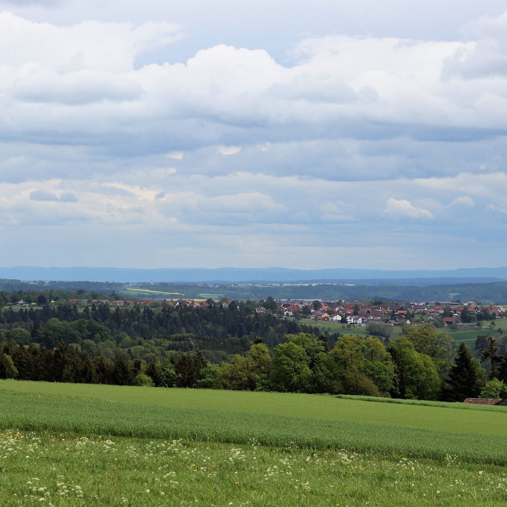
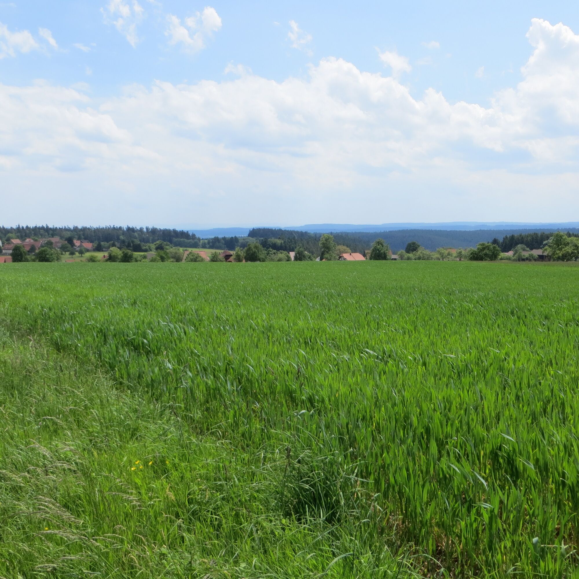
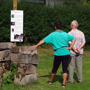
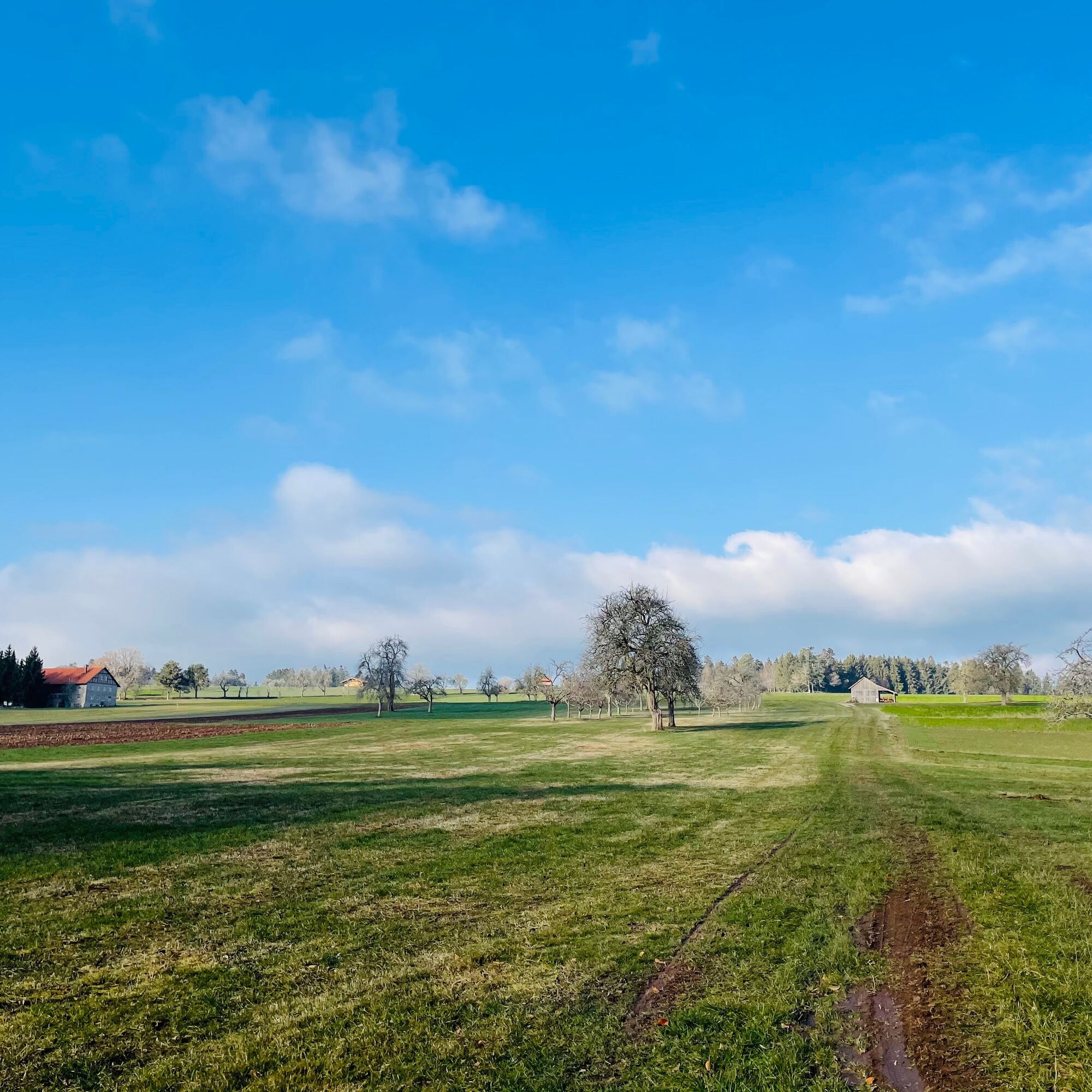
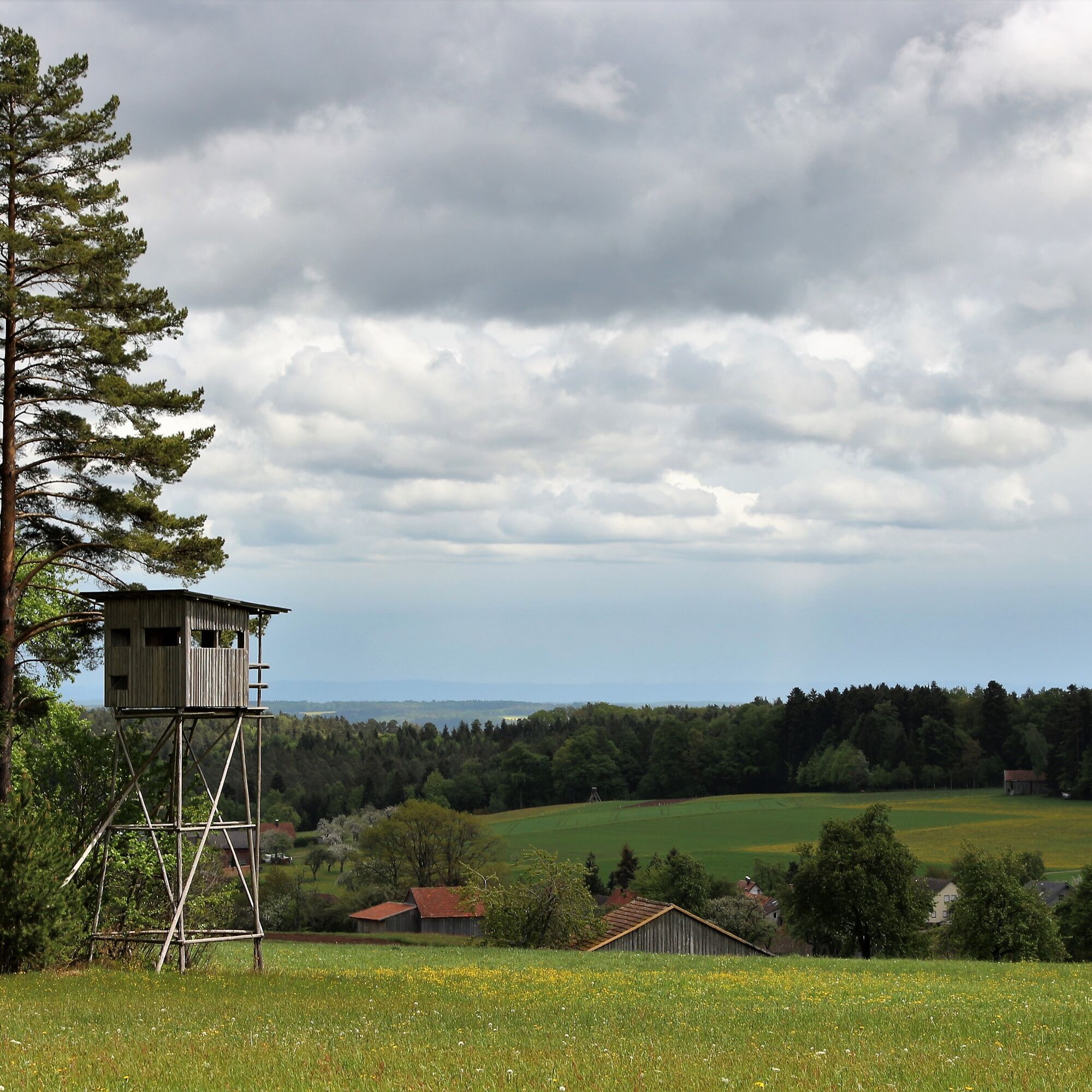
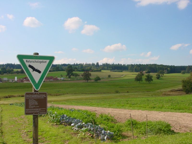

We start our hike at the village square in Neuweiler and follow the Black Forest Association's rhombus signage to the first signpost location Neuweiler. From there, we slowly leave the village and turn right at the signpost Neuweiler/Hofstetter Kirchweg. Passing meadows and fields, we enter the forest, pass the signpost Kirchweg and through the Hofstett area to the signpost Schindelhardt. We keep left and hike through the Schindelhardt area towards Zwerenberg. Passing the signpost Hofstetter Kreuz, we reach the Petershöhe and the signpost of the same name. From up here, you have a wonderful view of nature. The Zwerenberg village history trail also starts here. Parallel to the street, you enter the Neuweiler district. We pass the signpost Zwerenberg/Ochsen and then keep left, following the rhombus, to the signpost Zwerenberg/Lamm. From there, we leave the village again heading towards Neuweiler. The signposts Allmend, Zwerenberger Wegle, and Im Grund lead us to the Neuweiler cemetery and the signpost with the same name. From there, it goes straight back to our starting point, the village square.
Áno
Sturdy footwear is always advantageous, as well as a small backpack supply and something to drink.
Via the B294 from Bad Wildbad to the Fautsburg campsite, then keep left and drive via the L347 to Neuweiler.
Bus line 435 from Altensteig to Neuweiler.
Reservation up to 60 minutes before departure at phone no. 07051 968855 (Zwerenberg Schwarzwaldstr., Neuweiler → Hofstett Forststraße, Neuweiler)
From Bad Wildbad with the on-call bus BW1 directly to Neuweiler (Town Hall) without changing.
Reservation up to 60 minutes before departure at phone no. 07051 968855
On school days: Line 633 from Calw to Neuweiler
Parking spaces can be found on Marktstraße and Calwer Straße.
Culinary refreshment and to-go offers can be found at the Landgasthof Ochsen.
Those interested in Black Forest culture can explore the historical trail in Zwerenberg and discover the historic village buildings.
Obľúbené výlety v okolí
-
4,7
Eyach round
strednáTuristika 7,84 km -
4,0
Wolfsschlucht and Fox Gorge
strednáTuristika 9,74 km -
5,0
Der Teinacher (Premiumweg & Genießerpfad)
strednáTuristika 12,0 km -
4,7
Through the wild romantic Schweinbachtal to the Bruderhöhle cave
strednáTuristika 13,8 km -
4,2
Kaltenbronn Circular Route No. 1 - Wildsee Moor Loop
svetloTuristika 8,30 km -
4,7
premium hiking trail Enzquellenpfad
strednáTuristika 19,9 km -
4,3
Nature experience tour Kaltenbronn
strednáTuristika 14,2 km -
5,0
Water, Woods and Meadowtrail / Zavelstein > Calw (Premium trail & Genussweg)
ťažkéTuristika 14,4 km -
5,0
AugenBlick route Bad Teinach-Zavelstein Zettelberg
ťažkéTuristika 15,5 km -
5,0
Rundwanderweg Sulzkar
strednáTuristika 12,4 km
Turistika a stopovanie


Nenechajte si ujsť ponuky a inšpiráciu na ďalšiu dovolenku
Vaša e-mailová adresa bol pridaný do poštového zoznamu.





