





Panorama hiking route – through vineyards and hilly expanses
You start your hike through the Madonnenländchen at the castle with parking available and soon pass the Marian grotto, inviting you to refresh and Kneipp therapy. You then continue through the forest uphill...
You start your hike through the Madonnenländchen at the castle with parking available and soon pass the Marian grotto, inviting you to refresh and Kneipp therapy. You then continue through the forest uphill to the Uissigheim Stahlberg amid the vineyards.
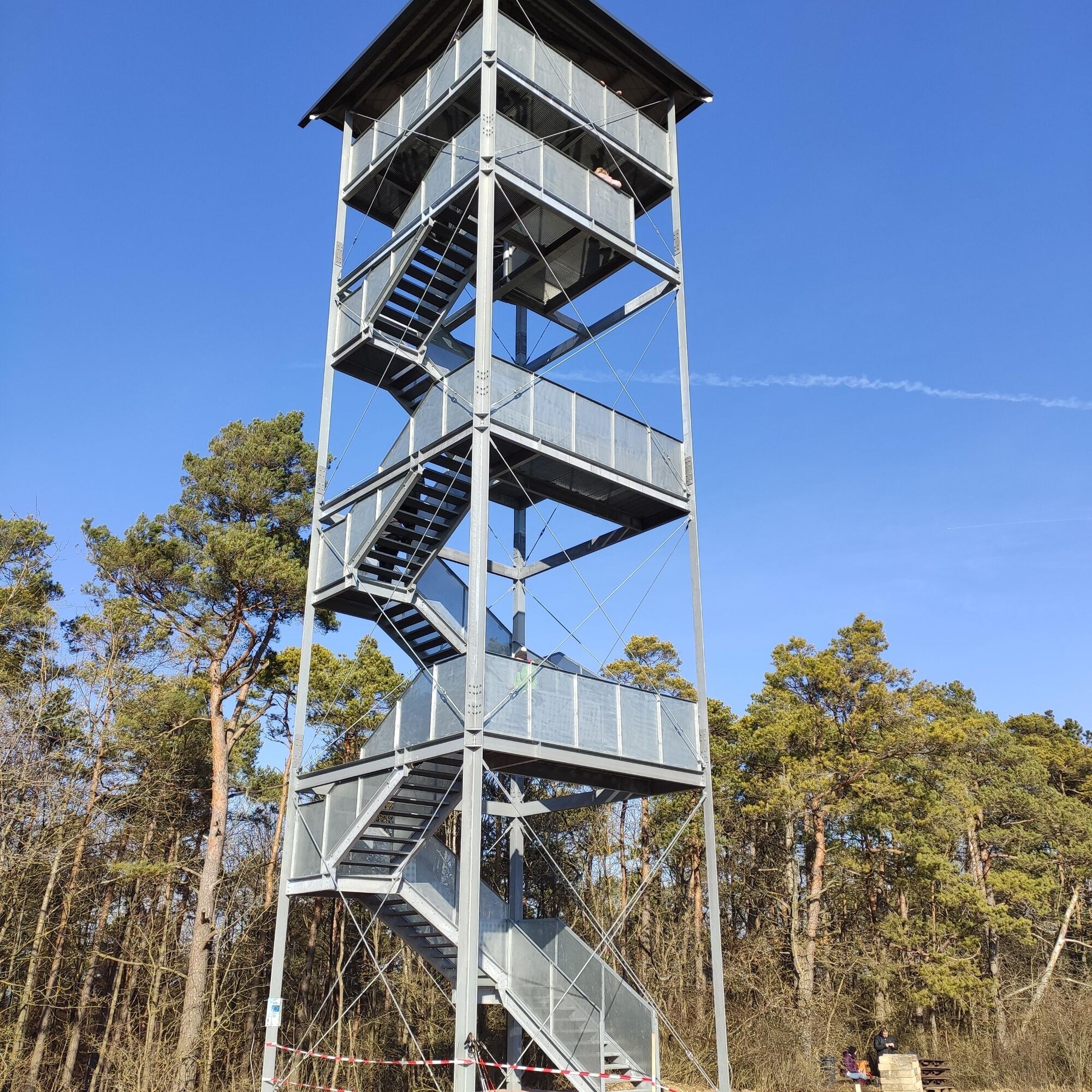
Enjoy a magnificent panoramic view from the observation tower built in 2022, overlooking the most beautiful part of the Tauber valley and the Külsheim heights. Passing old Grünkern drying barns, you arrive at Uissigheim. Returning via Königgrund with quiet fields, the circular route ends again at the castle square in Külsheim.

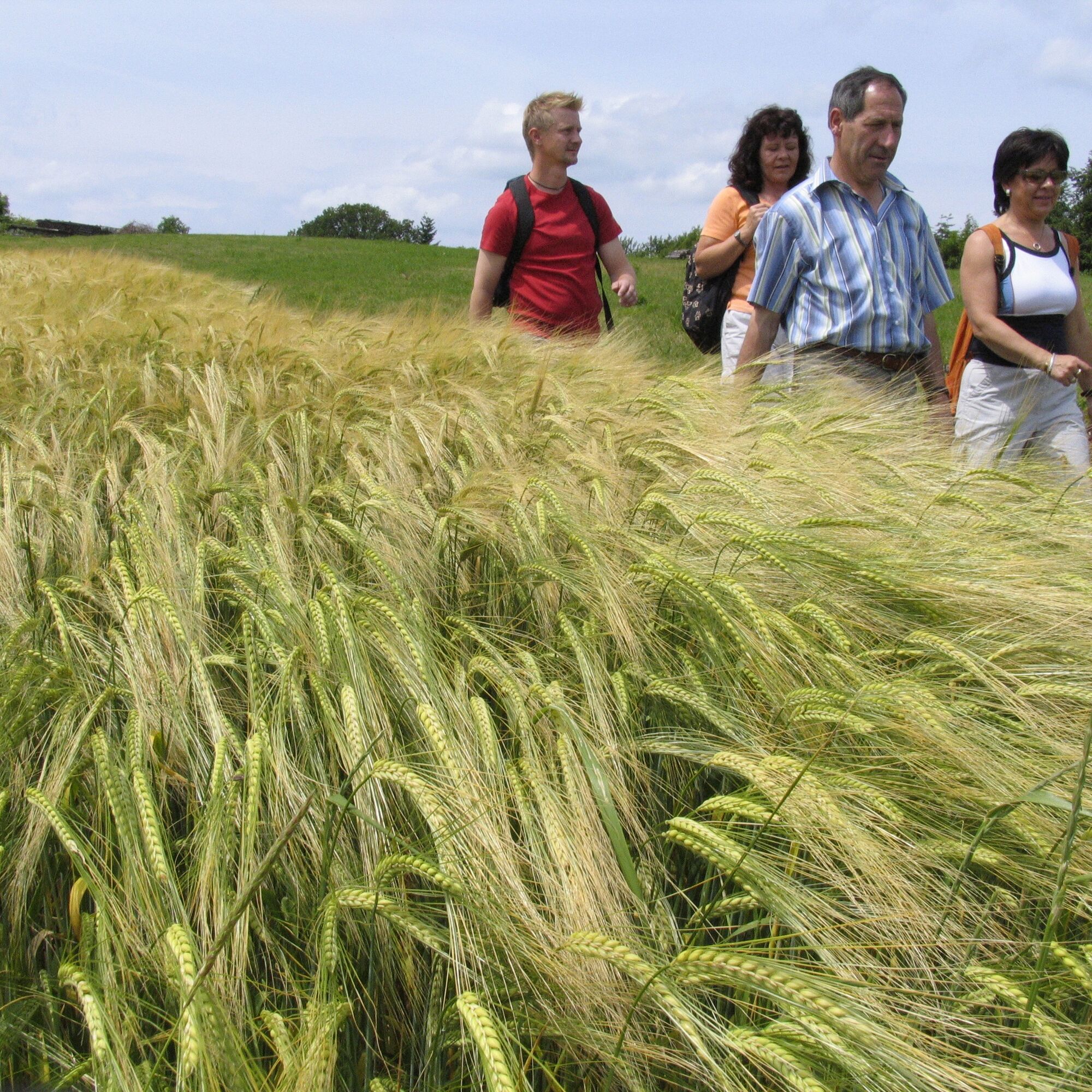
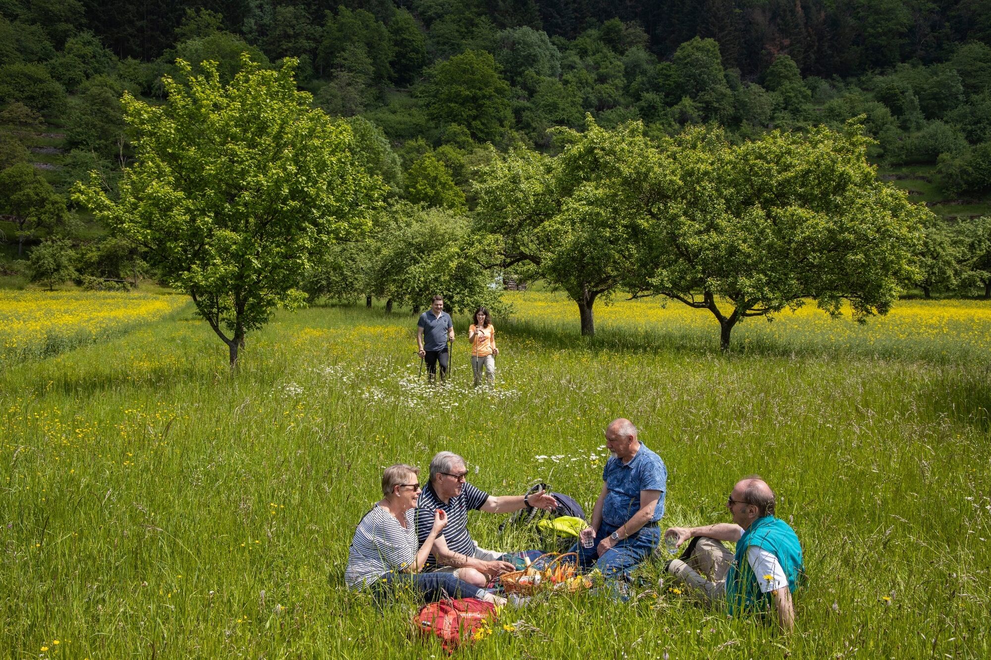
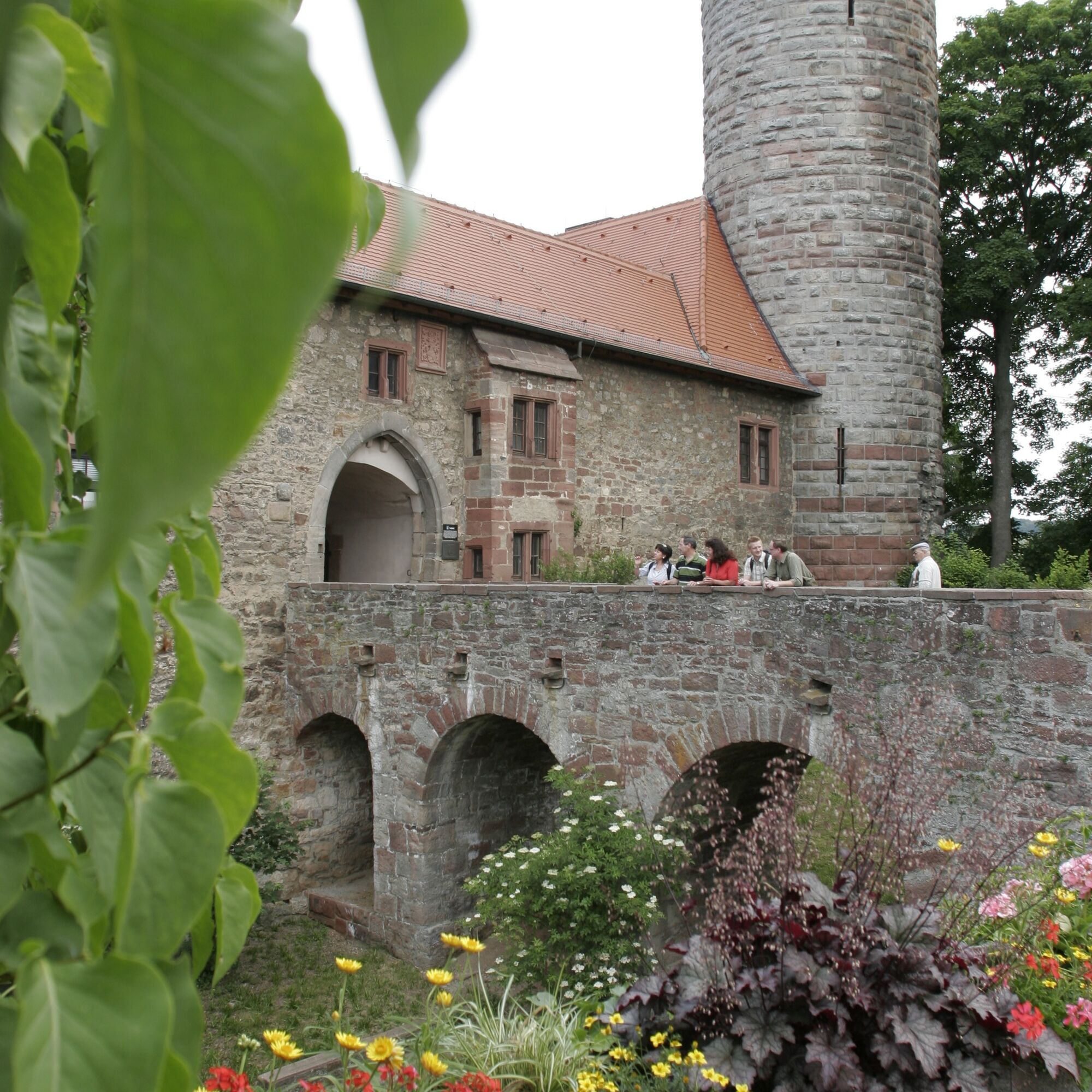

The "Panorama Hiking Route" (No. 4) leads you over quiet fields, peaceful valleys, and scenic viewpoints from Külsheim to Uissigheim.
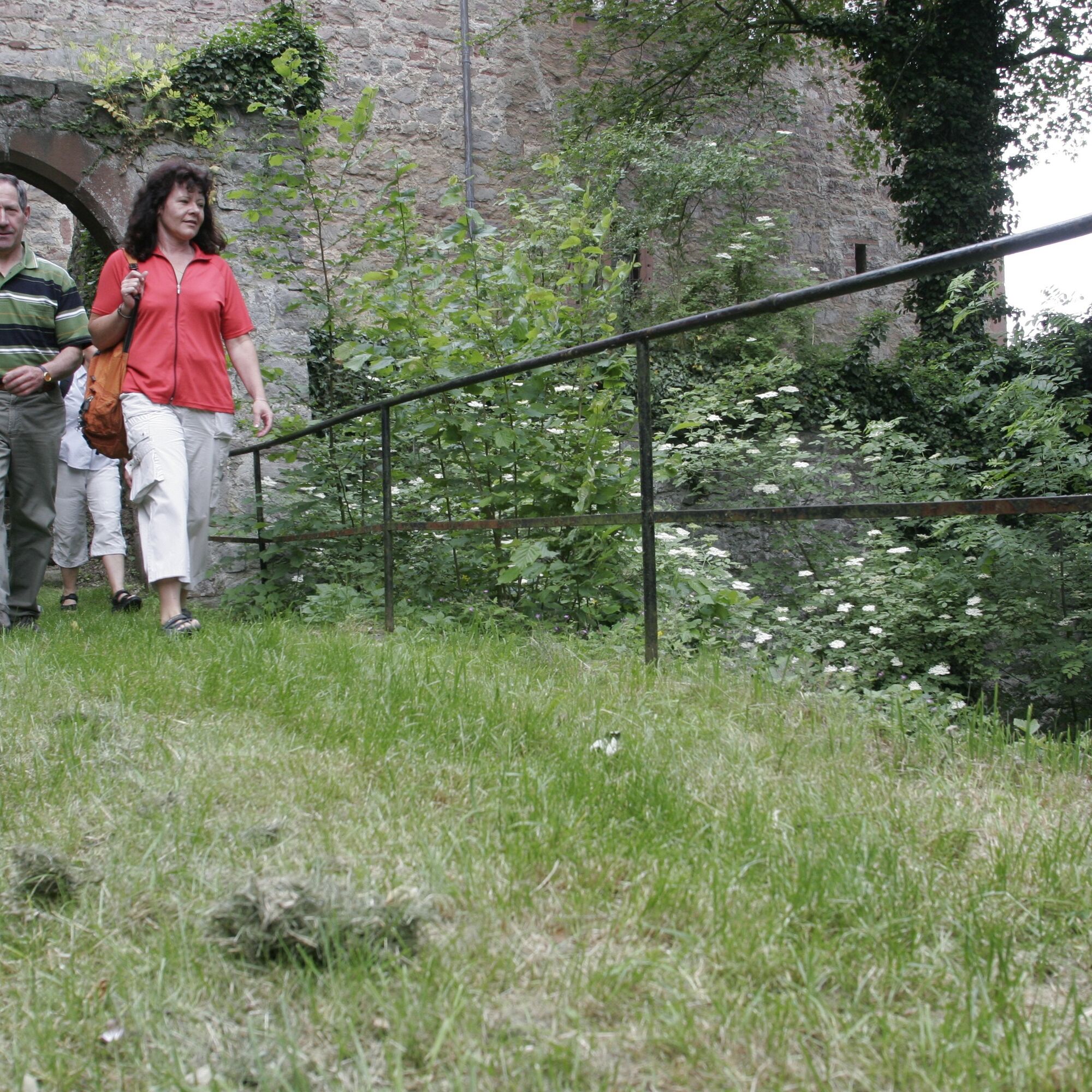
The starting point of the hike is the castle square. The historically developed building houses the city administration today. Standing in front of the castle, turn left, pass the kindergarten, and shortly afterwards go down a staircase on the right into the old town. At the foot of the stairs, you will see a cross, a fountain, and the "Old Town Hall." At this half-timbered building, turn right into Rathausstraße and follow it out of the town.
Now a wonderful landscape opens up with hedges, scattered orchards, and fields. After about two kilometers, you reach a Marian grotto with a spring and a Kneipp facility featuring a water-treading and an arm basin. The benches nearby invite you to rest and refresh yourself.
Refreshed and invigorated, you continue hiking and soon descend into the forest. You take the forest path branching off to the right, which leads gently uphill. At the end of the forest, you see the Stahlberg before you. At the next fork, first turn right and then left on a grass-covered field path uphill into the forest on the Stahlberg.
Here you'll be rewarded with a great view over the region where, in good visibility, you can see as far as the Spessart. After a section in the forest, you reach the vineyards on the Stahlberg, and shortly afterwards, you arrive at a beautiful stone Way of the Cross, which leads uphill to the Stahlberg Chapel. In the chapel, there is a depiction of the saints venerated in the Catholic Church as the "14 Holy Helpers."
After a short spiritual pause on the nearby benches with a barbecue area, the path leads you northeastward, and you get another magnificent view. Here your gaze sweeps over the Tauber valley with the Gamburg. It continues downhill to the vineyards, and the path bends right. The immediately following vineyard path leads you down to the left until it meets another path in the valley. Here you take the right route directly to Uissigheim.
Passing the sports ground, follow Stahlbergstraße downhill to the town exit, then eastward on this road, and later turn right onto the main road. At the next sharp curve of the town exit to the left (toward Eiersheim), the hiking route turns right into Birkenweg. Follow this for several kilometers toward Külsheim. At a small hill, you can once again relax, enjoying a dreamlike view of the fountain town Külsheim and the vineyard site Hoher Herrgott.
Áno
sturdy footwear recommended
You can reach Külsheim via
- A 3 (Frankfurt - Würzburg) exit Wertheim and then via Taubertalstraße to Bronnbach and Külsheim (12 miles)
- A 81 (Heilbronn-Würzburg) exit Tauberbischofsheim and then via the country road directly to Külsheim (7.5 miles)
- Federal roads 19, 27, 290, and 292.
Ample parking is available at the castle.
Tourist Info Wertheim - www.tourismus-wertheim.de
Tourist Info Külsheim - www.kuelsheim.de
Enjoy a glass of wine from the Uissigheim Stahlberg or the Külsheim Hohen Herrgott.
Obľúbené výlety v okolí
-
5,0
On the way to Himmelreich
strednáTuristika 15,0 km -
4,0
Around the Kaffelstein
svetloTuristika 4,71 km -
Wertheim - Urphar - Wertheim
strednáTuristika 12,8 km -
4,5
Homburg Wine Hiking Trail
strednáTuristika 7,65 km -
4,0
Wein-Tauber hiking trail - circular route from Bronnbach
strednáTuristika 10,4 km -
4,0
Rund um den Apfelberg
svetloTuristika 8,18 km -
European Cultural Trail: From the Castle Hall to the Monastery Shine - At the Holle Tree and Piper Hans
strednáTuristika 21,6 km -
4,0
Schleusen-Wanderung
svetloTuristika 7,15 km -
4,0
Mainweitblick
strednáTuristika 9,89 km -
Route of Delights – the TOP gourmet region on the Main and Tauber
Motorrad 386,1 km
Turistika a stopovanie


Nenechajte si ujsť ponuky a inšpiráciu na ďalšiu dovolenku
Vaša e-mailová adresa bol pridaný do poštového zoznamu.





