







Hegne circular route
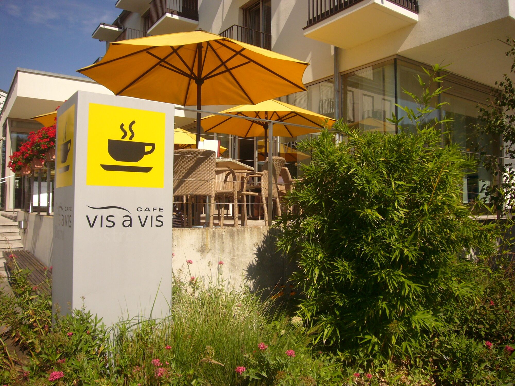
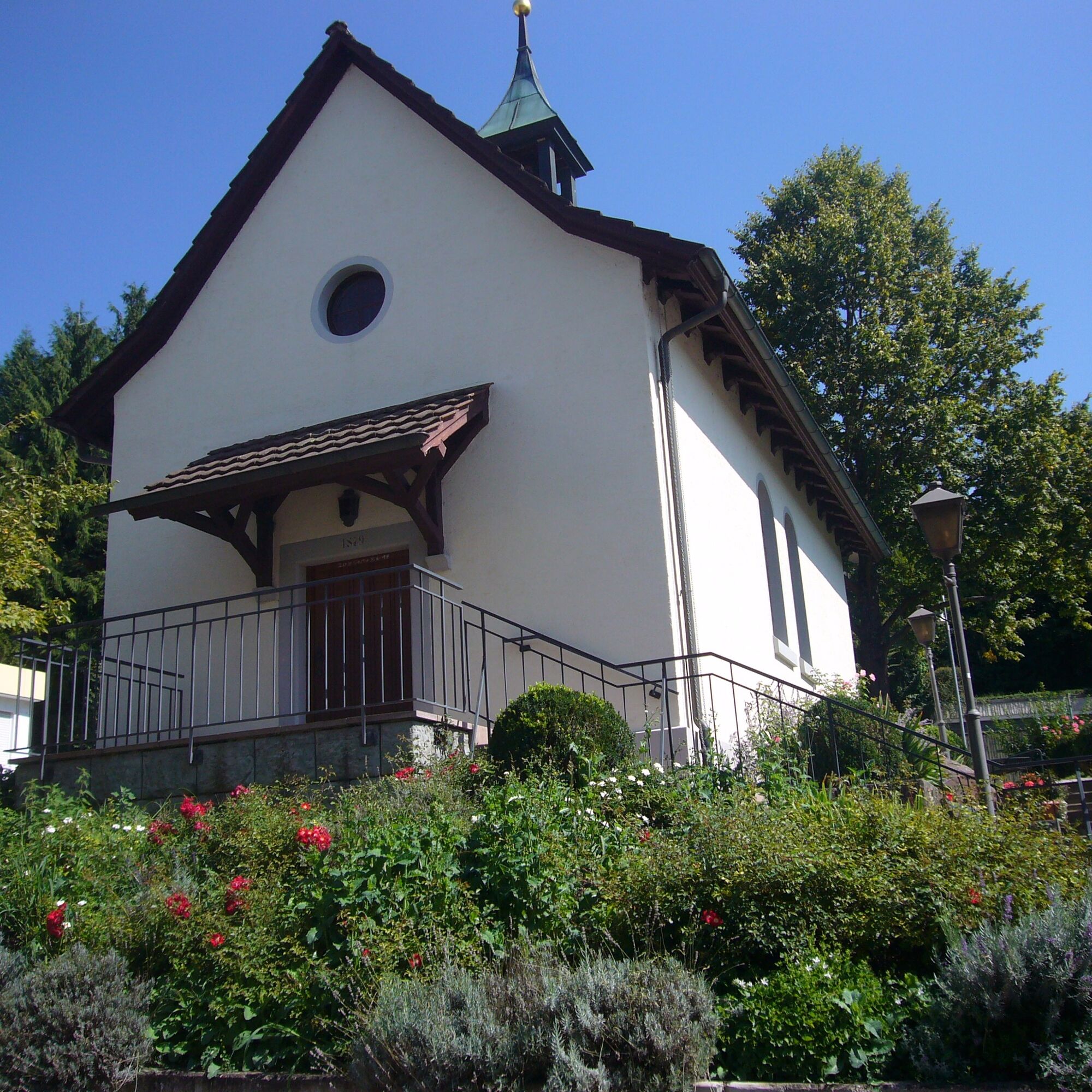
The start and end point of the time travel is the Café Vis à Vis in Hotel St. Elisabeth on the grounds of the Hegne monastery with the associated Hegne castle. After secularization around 1803, the castle...
The start and end point of the time travel is the Café Vis à Vis in Hotel St. Elisabeth on the grounds of the Hegne monastery with the associated Hegne castle. After secularization around 1803, the castle changed owners several times, including an industrialist.
Legend has it that after a few years it began to be haunted, so he sold it as quickly as possible. He left it to the Sisters of the Holy Cross, who still own it today - since then, the haunting has disappeared...

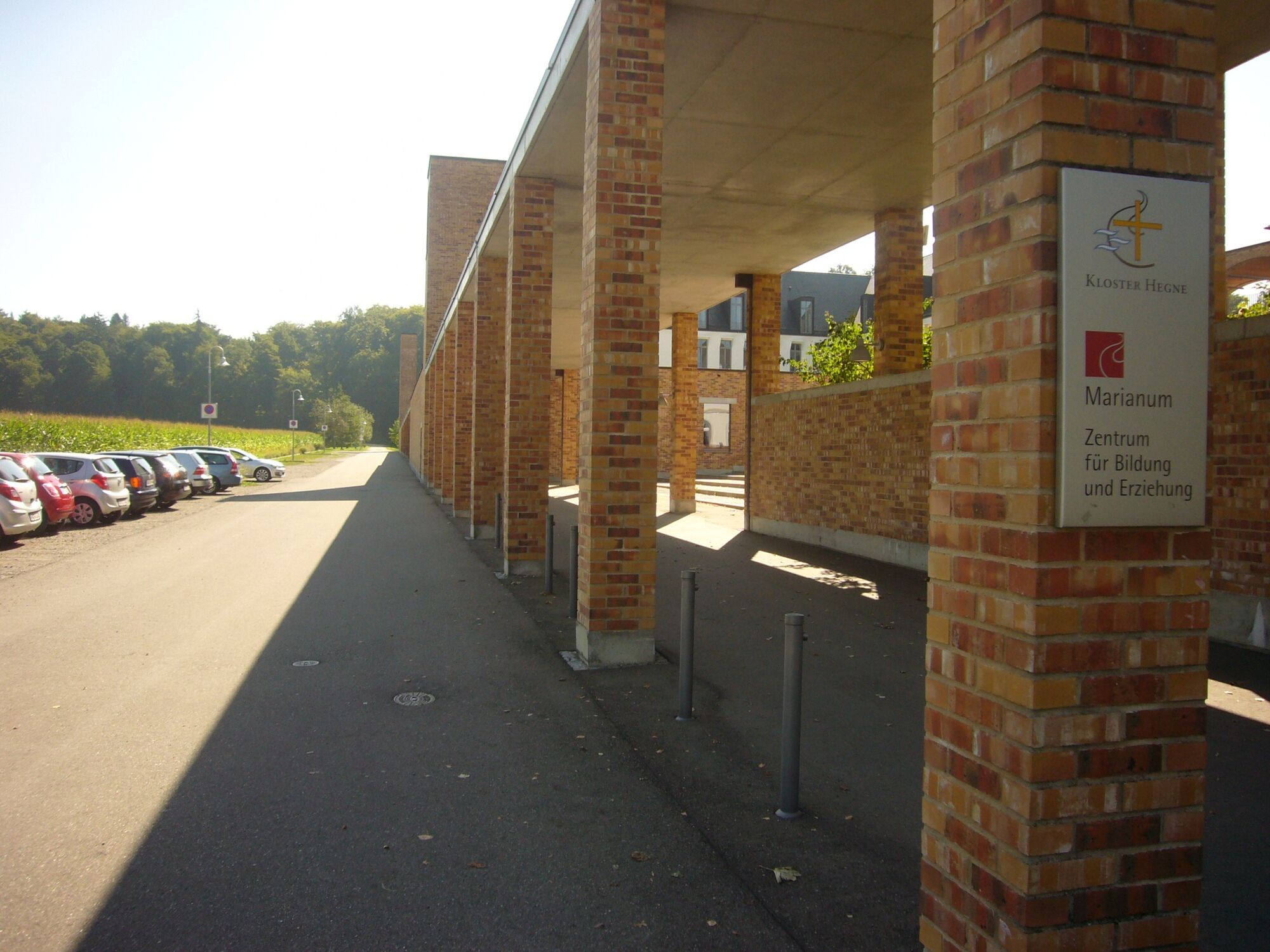
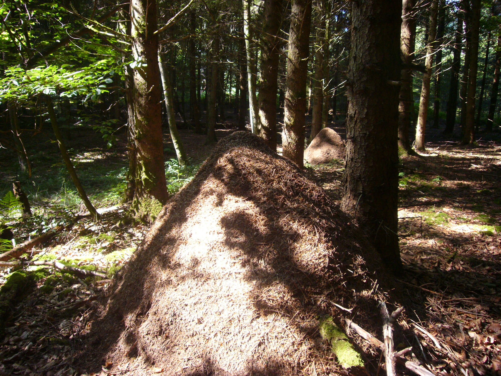
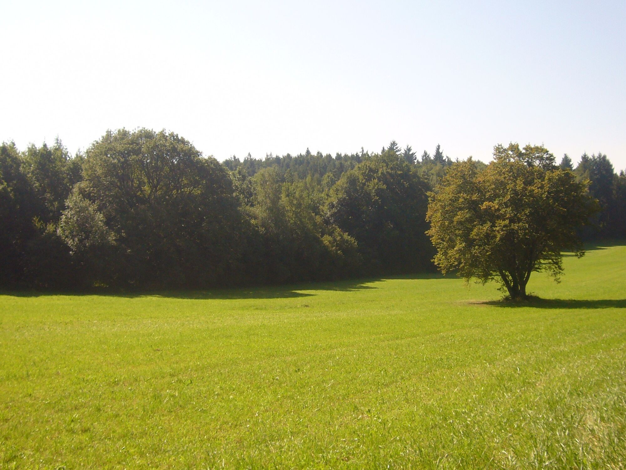
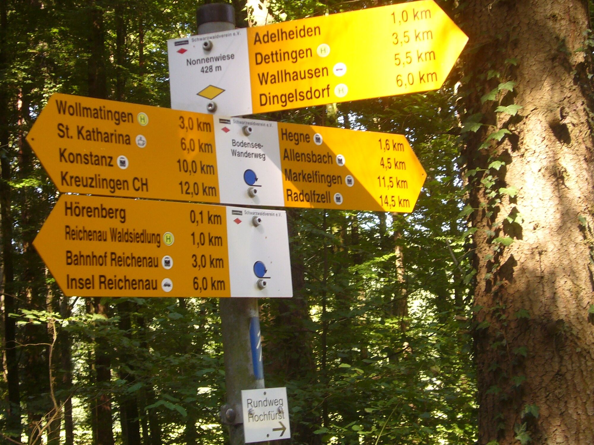
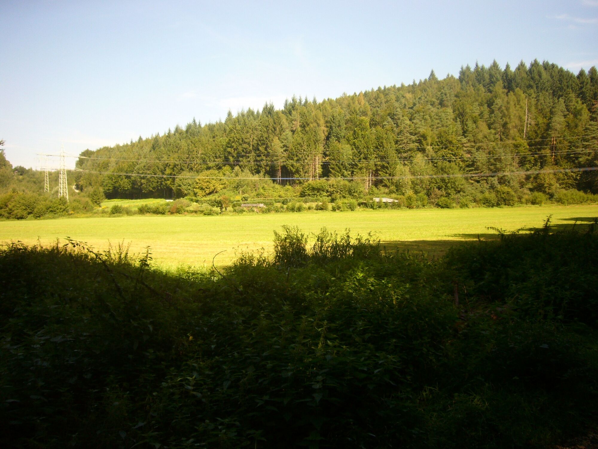
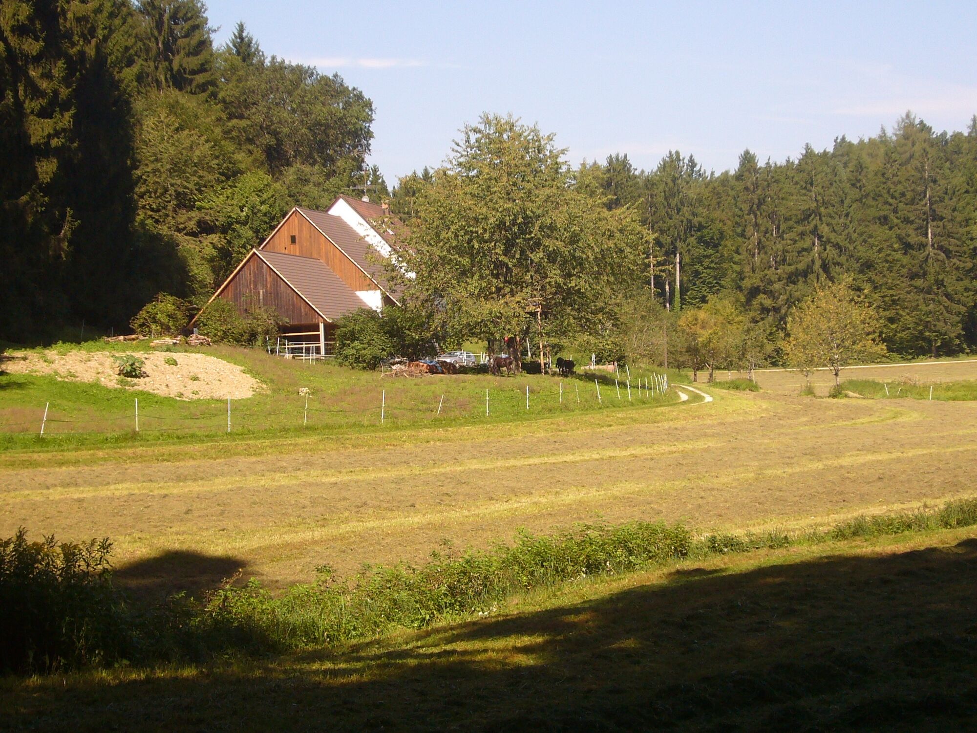

The monastery to your right (Konradistrasse) leave the town on a flat gravel path. After a short ascent in the forest, a path branches off to the right. With a trained eye, you can immediately spot the historically significant, centuries-old Celtic graves, hidden under anthills about 100 m away from the path.
The upper class of the Celtic population of that time was buried under these mounds with grave goods in the form of jewelry, vases, weapons, or plates. The size of the burial mounds often indicated the size of the village; they were considered prestige objects and were therefore often placed near paths. Look out for small gold coins (also called rainbow bowls), which played a role as lucky charms in the popular superstitions of the Celts. It is said that where the rainbow could touch the earth with its two ends, an angel holds a golden bowl underneath so that it does not have to touch the rainy and rough ground. Then the angel leaves the rainbow bowls; the rainbow would be displeased if the bowls were used twice.
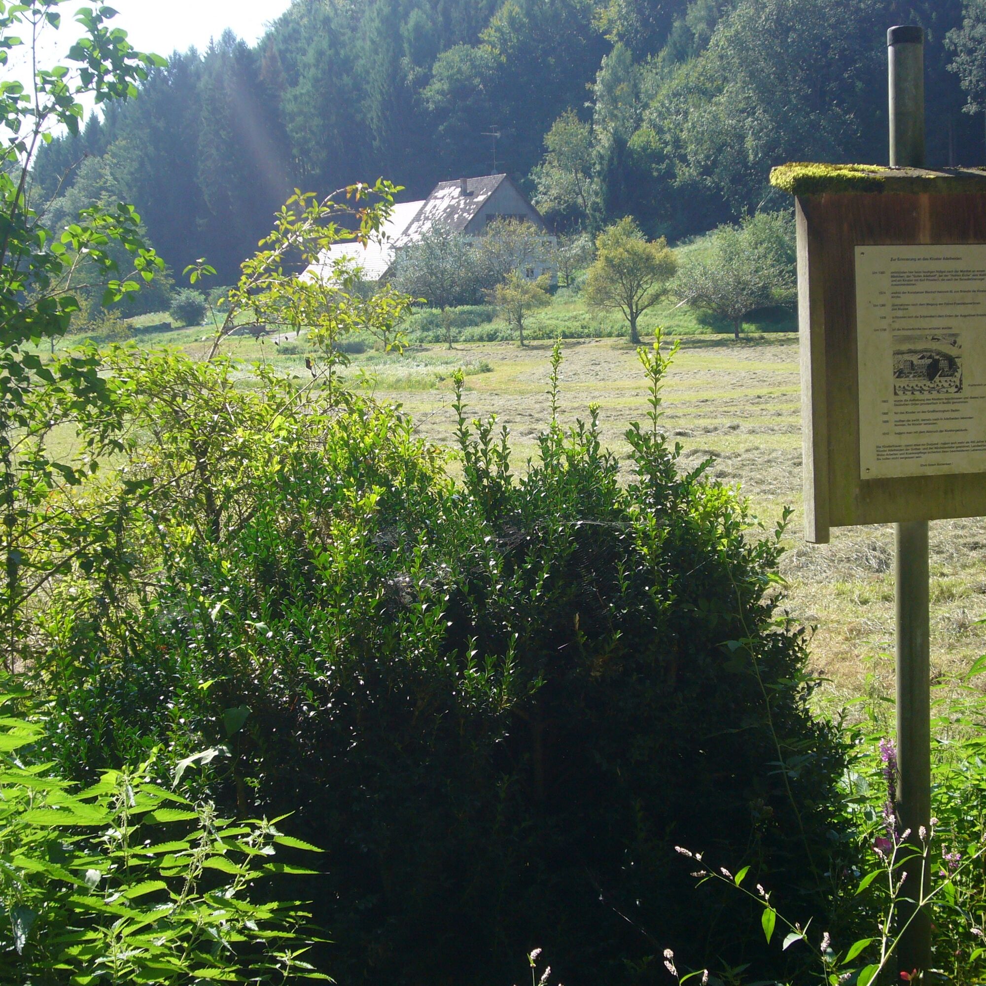
Back on the path, continue straight ahead, come to a junction with a hunting stand, and immediately take the left path. At a small clearing, the Nuns' Meadows, follow the right path, ascend into the forest, and reach the former Adelheiden monastery. You do not take the left direct way to the farmhouse, which is now privately owned and not publicly accessible, but continue straight ahead. It does not suggest that a monastery stood here for almost 440 years. The namesake is the virgin Adelheit, who was murdered here defending her innocence. Shortly before her death, she sought shelter in a hollow oak, but her murderer found her. This murder became known in the neighborhood, and many people then made pilgrimages to this particular tree.
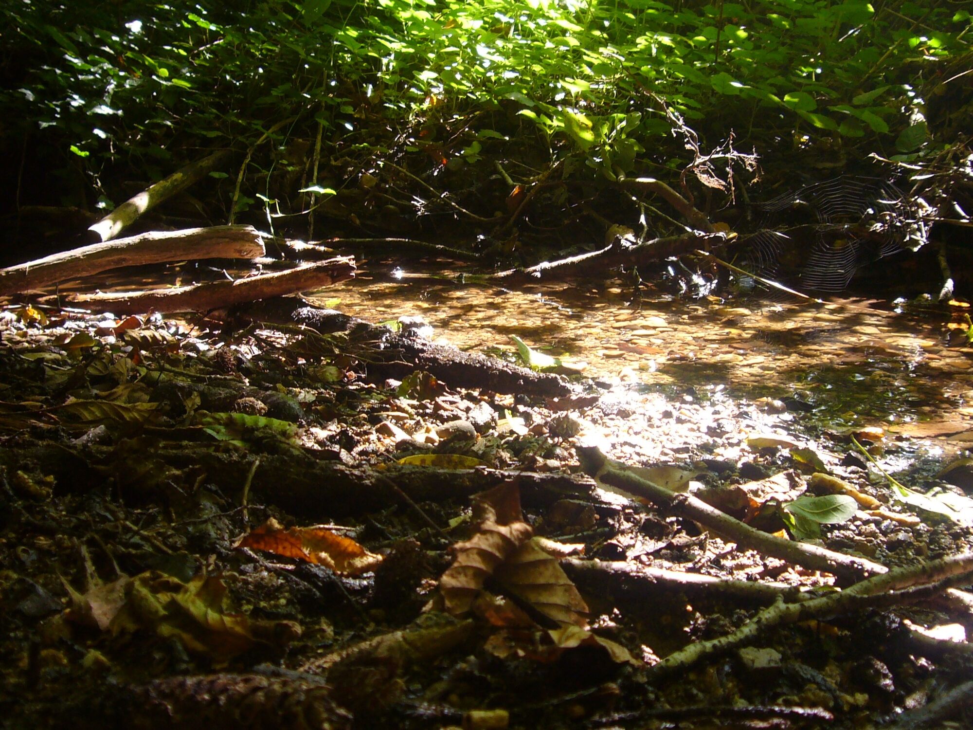
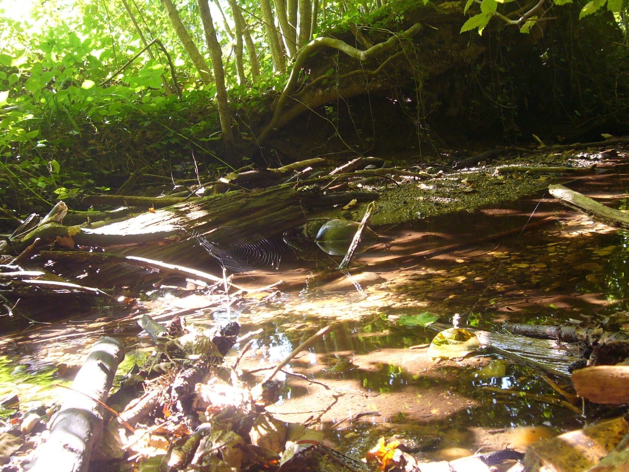
You move away a little from the monastery, then turn sharply left and shortly after the curve discover a small stream where endangered stone crayfish live. They seek refuge under stones and sticks, are nocturnal, and return to the same place every morning.
A few meters further on, a sign provides information about the former monastery. You leave it and continue right towards Hegne, passing a sports field, on the left a horse paddock, and return to the town on Adelheider Way. There you turn left into Zum Schwarzenberg Street, which leads you back to your starting point. If you have packed your snack in your backpack, you can also grill your sausage yourself behind the inn "Meisterklause" at the barbecue site Zum Schwarzenberg.
Remember sturdy footwear!
Drive on the A81 to the Hegau junction, then follow the B33 towards Konstanz/Radolfzell until Hegne.
Take the Seehas (train connection between Konstanz and Engen) to Hegne. 10-minute walk to the Hegne monastery. Or take bus line 203 from Allensbach to Hegne www.vhb-info.de
Hegne train stop
There are dining options at the "Café Vis à Vis" in Hotel St. Elisabeth www.st-elisabeth-hegne.de or in the Meisterklause www.meister-klause.de
Visit the Ulrika House on the monastery grounds, a house for pilgrims and visitors. There you can learn more about the Blessed Sister Ulrika.
Získajte prehľad
Vždy naživo na mieste s viac ako 9 500 webovými kamerami. bergfex Ako používateľ Pro si teraz môžete pozrieť príslušné webové kamery pre mnohé zájazdy v aplikácii zájazdy z. Môžete si tak priamo prezerať aktuálne podmienky.
Obľúbené výlety v okolí
-
4,0
Vom Bahnhof Konstanz entlang des Bodenseeufers zur Insel Mainau
strednáTuristika 10,4 km -
5,0
Mindelsee-Runde
svetloTuristika 7,83 km -
3,2
Bodenseeradweg
Cyklistika 210,8 km -
4,0
Around the island of Reichenau
svetloTuristika 10,9 km -
5,0
Hike on the panorama route of the Höri Peninsula
strednáTuristika 8,11 km -
4,7
Meersburg - Rebgut Haltnau - Schlosskirche - Kapelle "Zum Frieden"
strednáTuristika 11,3 km -
4,0
Bodanrück-Runde
ťažkéTuristika 8,36 km -
4,0
Circular hike Gaienhofen-Middle Höri
strednáTuristika 12,6 km -
4,5
Mühlsberg route
strednáTuristika 8,67 km -
5,0
Überlingen, Baden-Württemberg
svetloTuristika 9,12 km
Turistika a stopovanie


Nenechajte si ujsť ponuky a inšpiráciu na ďalšiu dovolenku
Vaša e-mailová adresa bol pridaný do poštového zoznamu.





