







Geislinger Steige Nature Trail
Úroveň náročnosti: T2
Geislingen is nestled in a beautiful landscape, surrounded by the hills of the Swabian Alb. The Helfenstein Castle ruins and the Ödenturm tower are popular hiking destinations and offer magnificent views....
If you want to appreciate the beauty of the landscape and the charms of the “five valleys,” you should take the time for one—or more—hikes around the town: Magnificent viewpoints such as the Ostlandkreuz, the Tegelberg, or the Himmelsfelsen invite you to catch your breath—and perhaps also to reflect on the beauty that creation has bestowed upon us.
An exciting hiking tour along the trails of the Swabian landmark “Geislinger Steige”—once the steepest railway line in continental Europe and the first railway route to cross the Alb. On this circular hiking trail, equipped with informational signs, you’ll experience Geislingen’s industrial history amidst the wonderful natural beauty of the green “Fünftälerstadt” (City of Five Valleys).
City of Geislingen an der Steige – iPunkt in the Old Customs House
Hauptstrasse 24 | 73312 Geislingen an der Steige
07331 24 279 | infopunkt@geislingen.de | www.geislingen.de
www.erlebnispfad-geislinger-steige.de

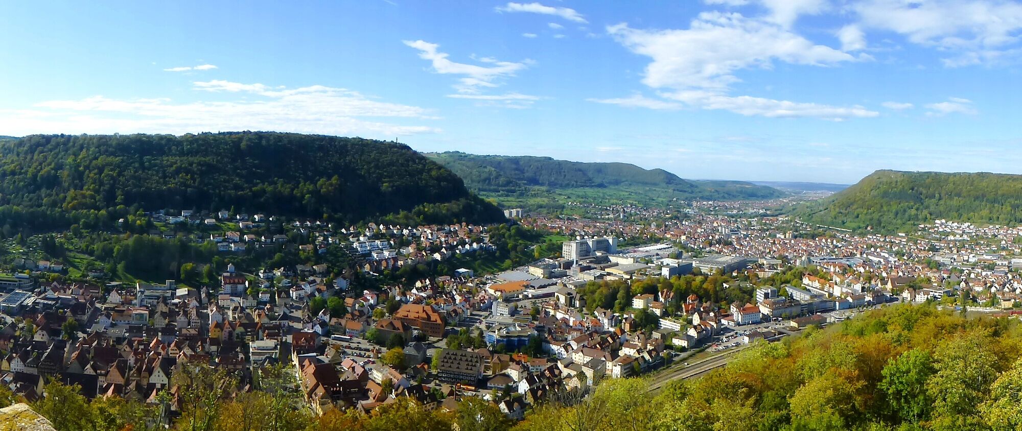
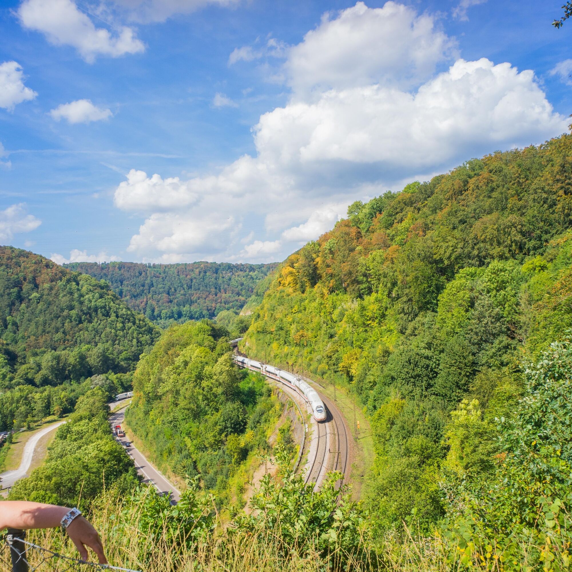
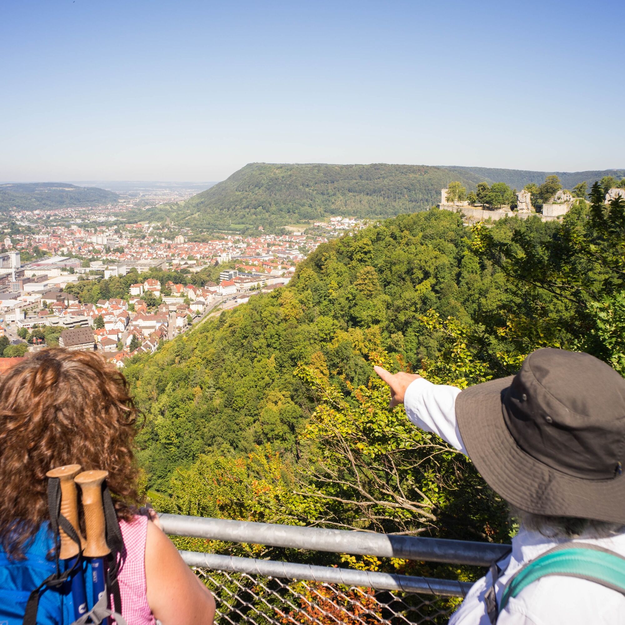
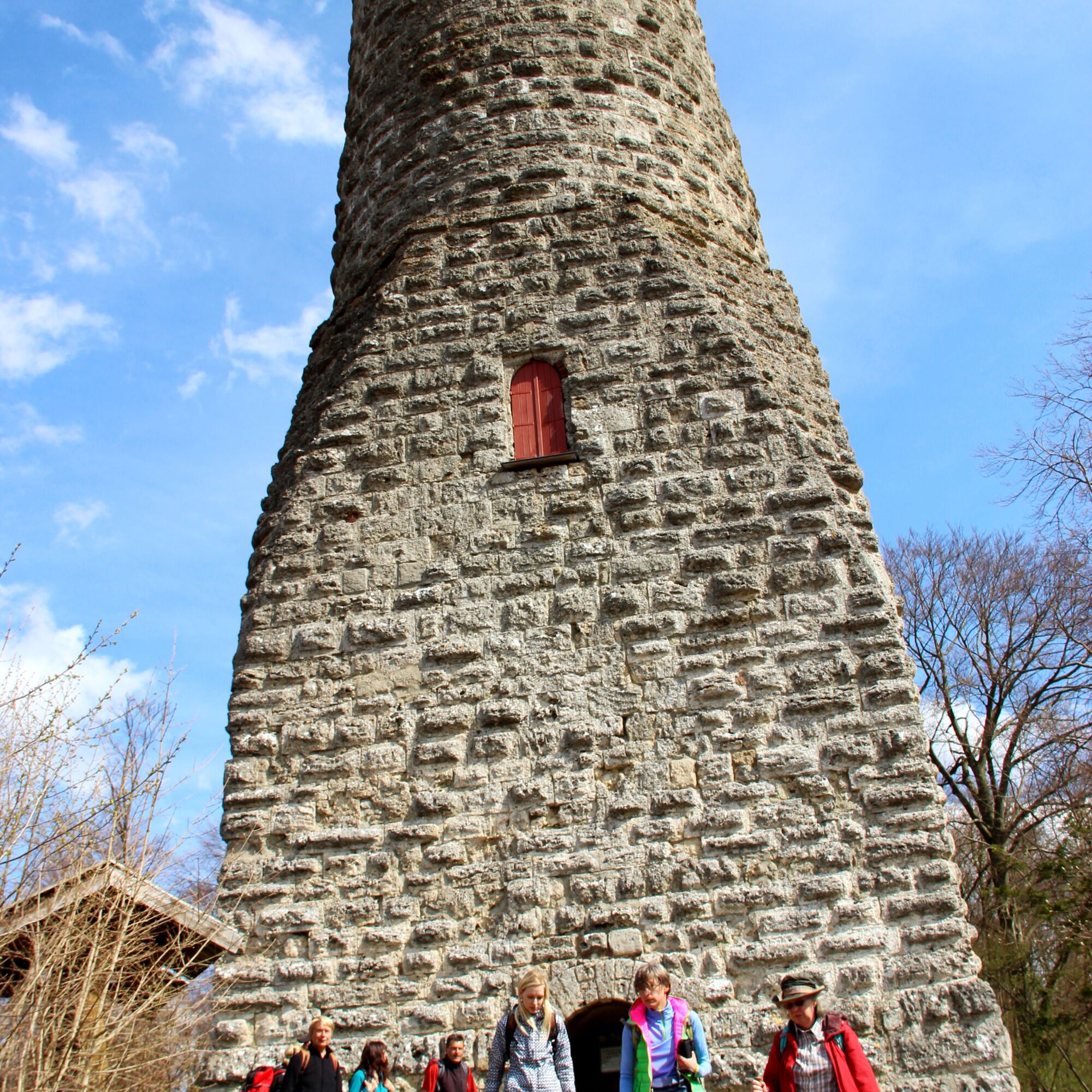
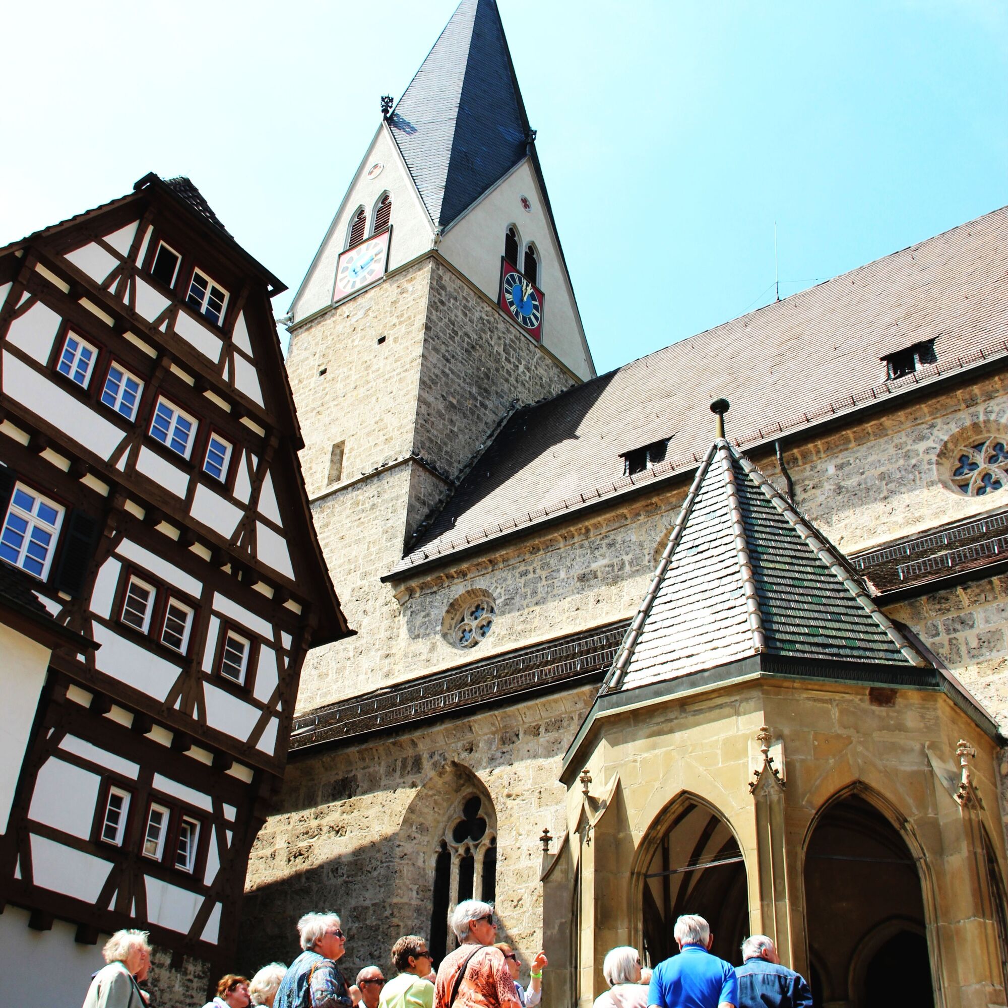
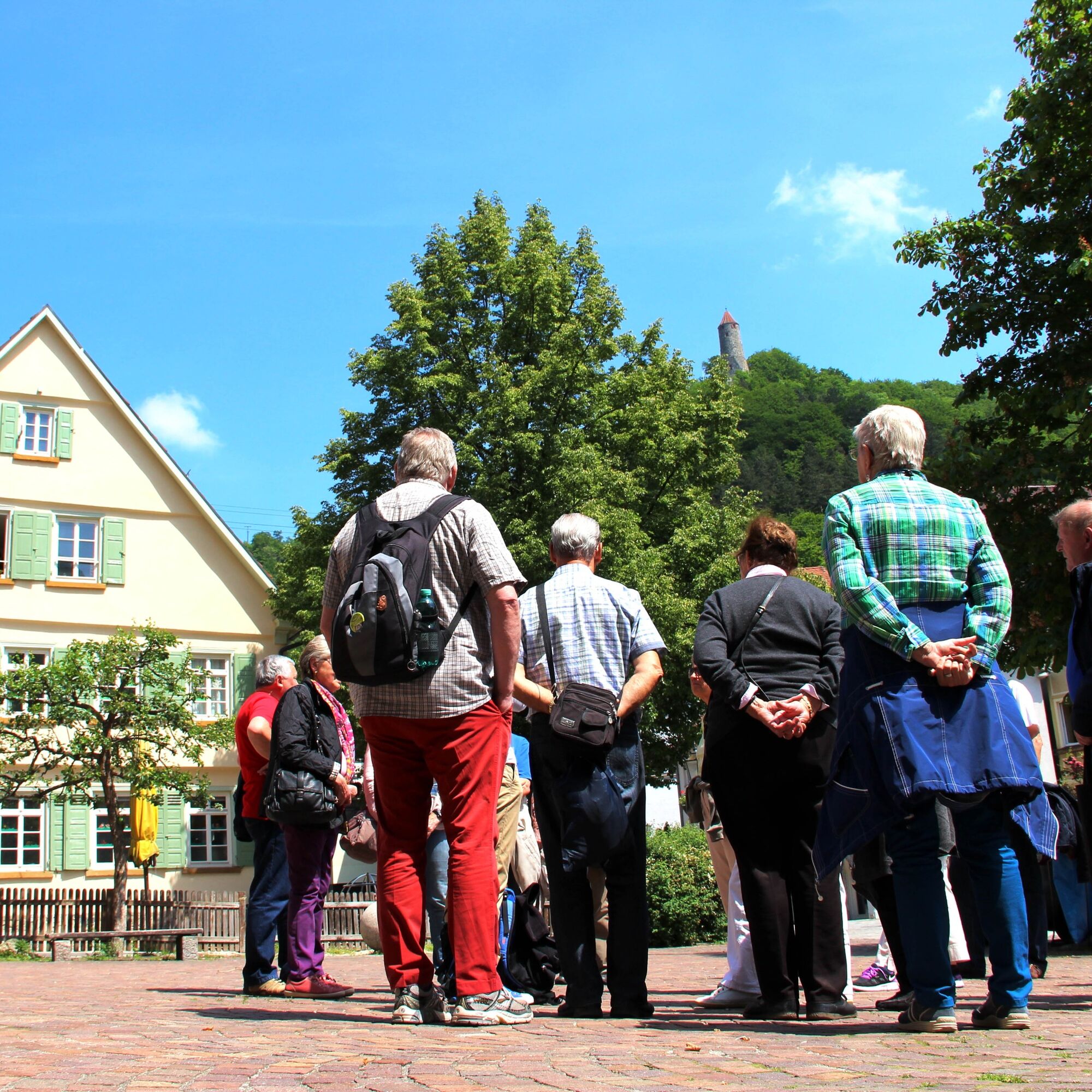

At the fork near the Ödenturm, follow the trail toward Hofstett am Steig. At the edge of the forest before Hofstett, the route turns right onto a narrow path into the woods. This path leads south over the Mühltalfelsen to the Ziegelhütte. From the Mühltalfelsen, an impressive view opens up of the Geislinger Steige, a significant structure in Swabian railway history and once the steepest railway line in continental Europe.
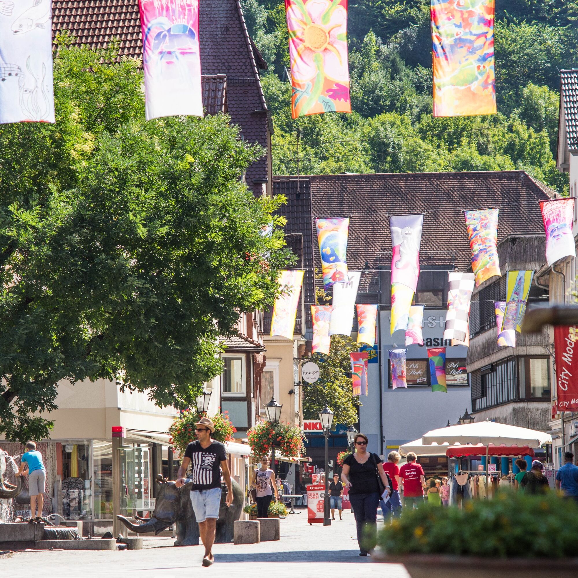
After the Ziegelhütte, the trail runs a short distance along the B10 toward Geislingen. At the junction for Türkheim-Wittingen, a hiking trail branches off to the left, leading down into the idyllic Rohrachtal valley. Passing the Schimmelmühle and the Straubmühle, you follow an accessible path through the picturesque Rohrachtal Nature Reserve back to Geislingen. The trail runs along the Rohrach River, through the pedestrian zone and the city park, until you finally reach the starting point at the Geislingen (Steige) train station.
Áno
Wear sturdy, non-slip shoes and weather-appropriate clothing. A backpack with water, snacks, and a first-aid kit is recommended.
When wet, some trails can be slippery and dangerous. Watch your step and use hiking poles for stability if necessary.
You can reach Geislingen an der Steige via the B10 Stuttgart–Ulm and via the A8 Stuttgart–Munich, taking the Mühlhausen i. Täle or Merklingen exits.
Take the RE 5 or MEX 16 from Stuttgart or Ulm to Geislingen/Steige. The hiking tour begins right next to the train station.
You can find the regional schedule at: www.vvs.de/fahrplan
Parking options at the start/end point, Geislingen (Steige) Train Station
Additional parking options
, Helfenstein parking lot
, parking lot in Hofstett am Steig
, Ziegelhütte parking lot
T2
Code of Conduct:
Respect trail closures and the quiet zones established in the recreational trail plan. Leave no trace—such as trash or animal waste—and treat the trails with care. Be proactive and considerate. Adapt your behavior to the situation at hand. Safety comes first. Respect other users of the woods and open fields. Be considerate of animals and plants. Plan ahead and make the most of daylight. Try to avoid the morning and evening twilight hours. Observe the ban on entering agricultural land during the growing season. Stay on marked trails and avoid forest edges; this helps wildlife get used to people.For more information, visit ruecksicht-macht-wege-breiter.de
Alternatively, on clear days, plan extra time at the lookout points—the views are especially impressive at the Ödenturm and Mühltalfelsen.
Obľúbené výlety v okolí
-
4,5
Löwenpfad "Orchideenpfad" - Herbs, Pasqueflower and Juniper Heathlands
strednáTuristika 9,33 km -
5,0
Löwenpfad "Heldentour" - The king stage of the Löwenpfade
ťažkéTuristika 23,6 km -
4,4
Löwenpfad "Geislinger Felsen-Tour" - up and down through the Eybach valley
strednáTuristika 10,8 km -
4,5
Löwenpfad "Weitblick-Tour" - High up and far-reaching view
ťažkéTuristika 12,0 km -
4,7
Löwenpfad "Filstalgucker" - views from the heart of the Filstal valley
strednáTuristika 13,0 km -
3,7
Löwenpfad "Wasserberg-Runde" - pure panorama and typical Swabian Jura landscapes
ťažkéTuristika 12,0 km -
4,3
Löwenpfad "Steigen Tour" - Along the Swabian Landmark of the Century
ťažkéTuristika 17,3 km -
3,5
Lion trail "Messelberg tour" - hiking with impressive views
strednáTuristika 7,72 km -
3,8
Lion trail "Ave-Weg" - A touch of pilgrimage on the Albtrauf
strednáTuristika 8,65 km -
1,0
Nordalbrunde
strednáTuristika 4,76 km
Turistika a stopovanie


Nenechajte si ujsť ponuky a inšpiráciu na ďalšiu dovolenku
Vaša e-mailová adresa bol pridaný do poštového zoznamu.





