


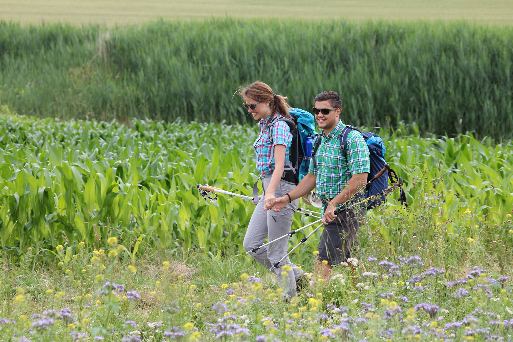
Castle trail 12 - Along the Biber from Randegg to Bietingen


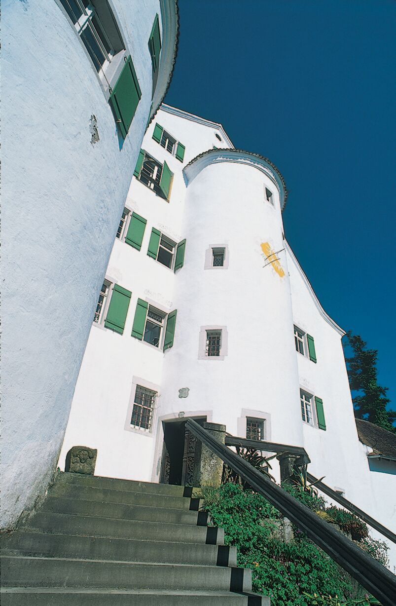
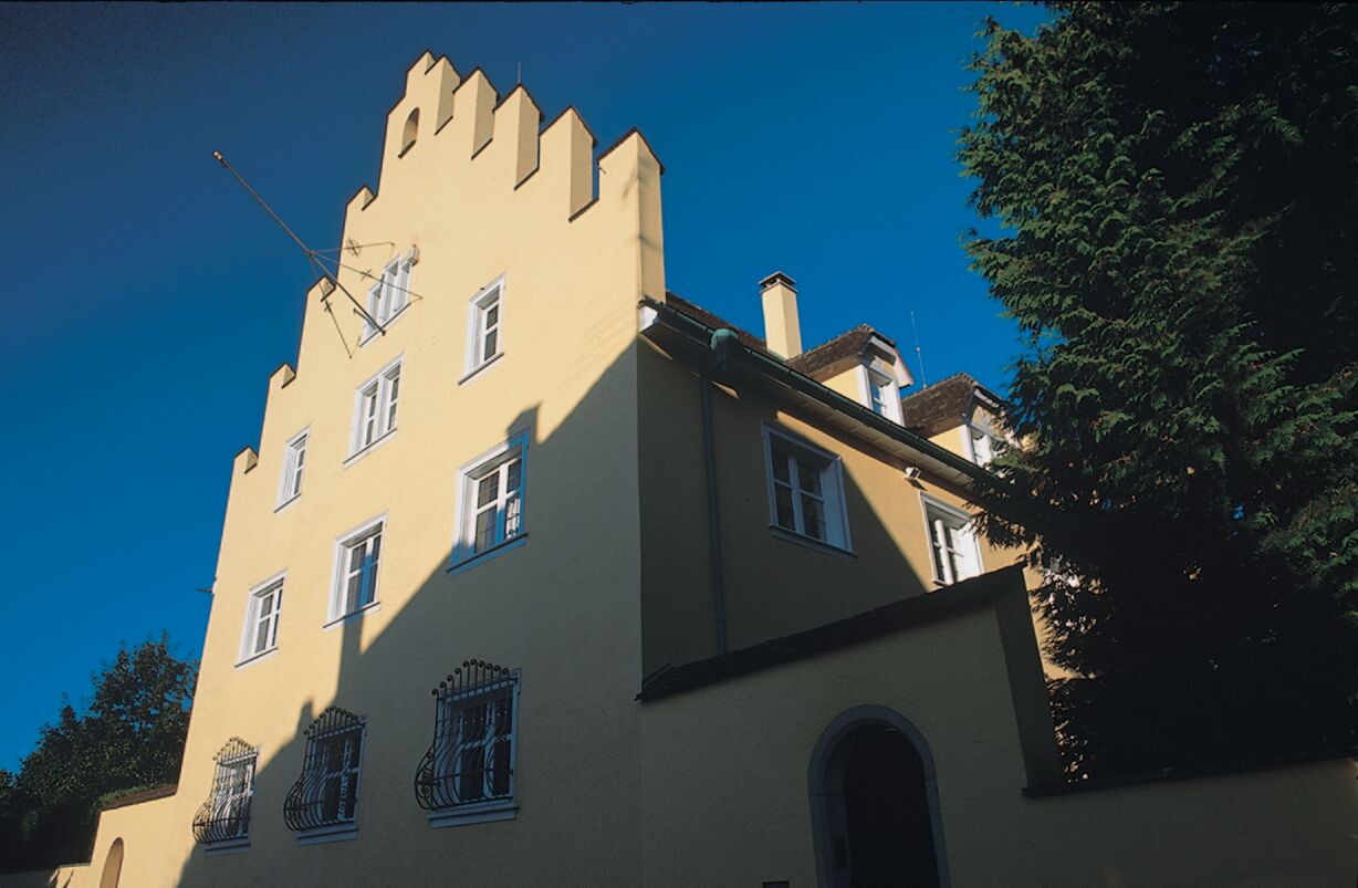
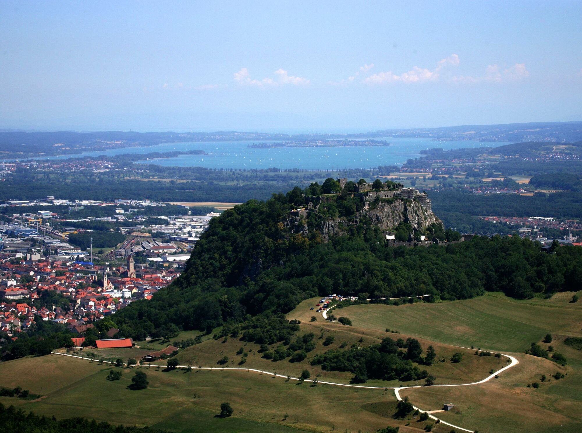
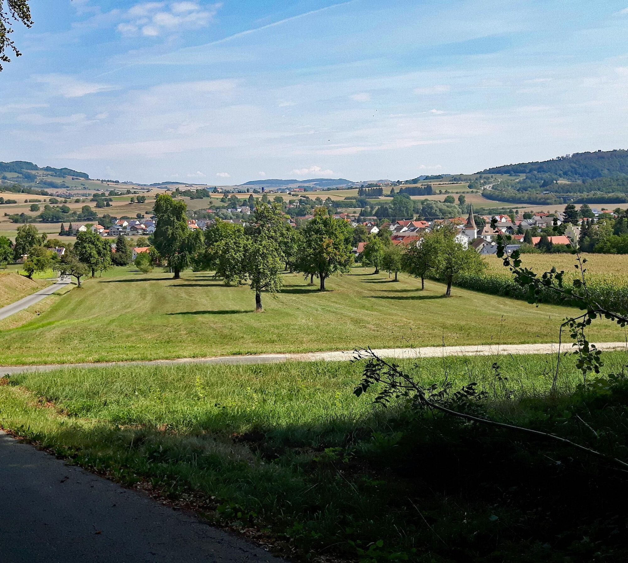
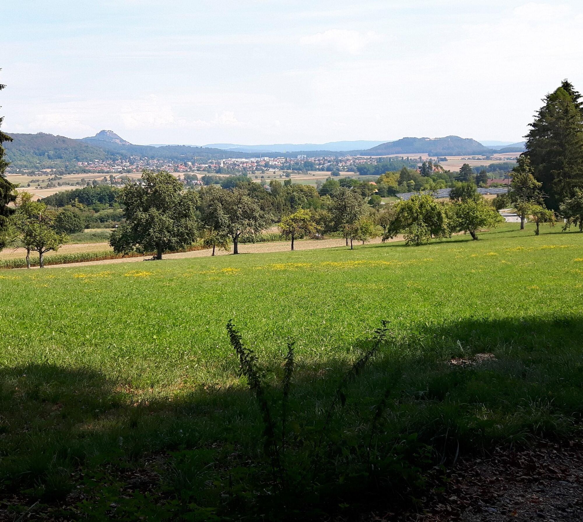
The starting point of our hike is the parking lot at the church in Randegg (430m). From there we walk through Grenzlandstraße into the village and turn right into Otto-Dix-Straße. At the Gasthaus Fischerkeller we cross this street and continue straight on Wiedenstraße. We follow this field path along the Biber river to Bietingen (435m). Right at the entrance to the village, Bietingen Castle stands on the right side. We continue straight on Dorfstraße to Romelstraße, where we turn left. The paved road soon becomes a field path and we walk past a barbecue area. At the next junction, we turn left onto a gravel path and continue straight into the forest. We reach a crossroads where there is a boulder and turn left there. We stay on this gravel path and walk through a clearing with views of Gottmadingen and the Hegau to a field cross. We pass the field cross on the left and leave the forest. Shortly after, we reach the K6149 road. There we turn right and cross the street at the next junction of a field path. We take the opposite field path to the left and then along the edge of the forest into the woods. There, we keep left and stay on this gravel path. The path leads out of the forest down to L190. We cross it diagonally right towards the field cross. At the next junction, we turn left, always straight ahead with views of Randegg Castle towards Randegg. There we meet Bergstraße and turn right, continuing downhill through the village back to the church, our starting point.
Áno
Áno
By train to Gottmadingen and then by bus 403 to Randegg, or arrive by train to Bietingen and start the circular hike from there.
Starting point in Randegg: parking lot at the church or at the multipurpose hall.
In Bietingen there is the possibility to interrupt the hike and take a break in the beer garden of the local restaurant Linde.
The hiking route is part of the castle trails in the Hegau and is marked with yellow signs number 12.
Obľúbené výlety v okolí
-
4,6
Small Rheinfall Circular Route
svetloTuristika 3,48 km -
3,7
Firstweg Langenmos
strednáTuristika 5,76 km -
5,0
"Hegauer Kegelspiel" Alter Postweg
strednáTuristika 9,26 km -
3,5
"Hegauer Kegelspiel" Wannenberg hike
strednáTuristika 9,35 km -
4,8
Rundwanderweg Rheinau
svetloTuristika 6,85 km -
Stein am Rhein - Hohenklingen Castle - Stein am Rhein
ťažkéTuristika 7,79 km -
Castle trail 1 - From Tengen via Blumenfeld and back via Büßlingen
strednáTuristika 10,1 km -
SwitzerlandMobility 902: Reiatweg
strednáTuristika 19,0 km -
Wangener Bänkleweg 2 West
strednáTuristika 7,54 km -
5,0
"Hegauer Kegelspiel" Hohentwieler
strednáTuristika 7,21 km
Turistika a stopovanie


Nenechajte si ujsť ponuky a inšpiráciu na ďalšiu dovolenku
Vaša e-mailová adresa bol pridaný do poštového zoznamu.