







Boßler circuit
Úroveň náročnosti: T1
Gruibingen is wonderfully situated on the edge of the Stuttgart metropolitan region. The A 8 connects the community, and it is only 20 minutes to the airport. Yet, on 23 square kilometers, you find a diverse...
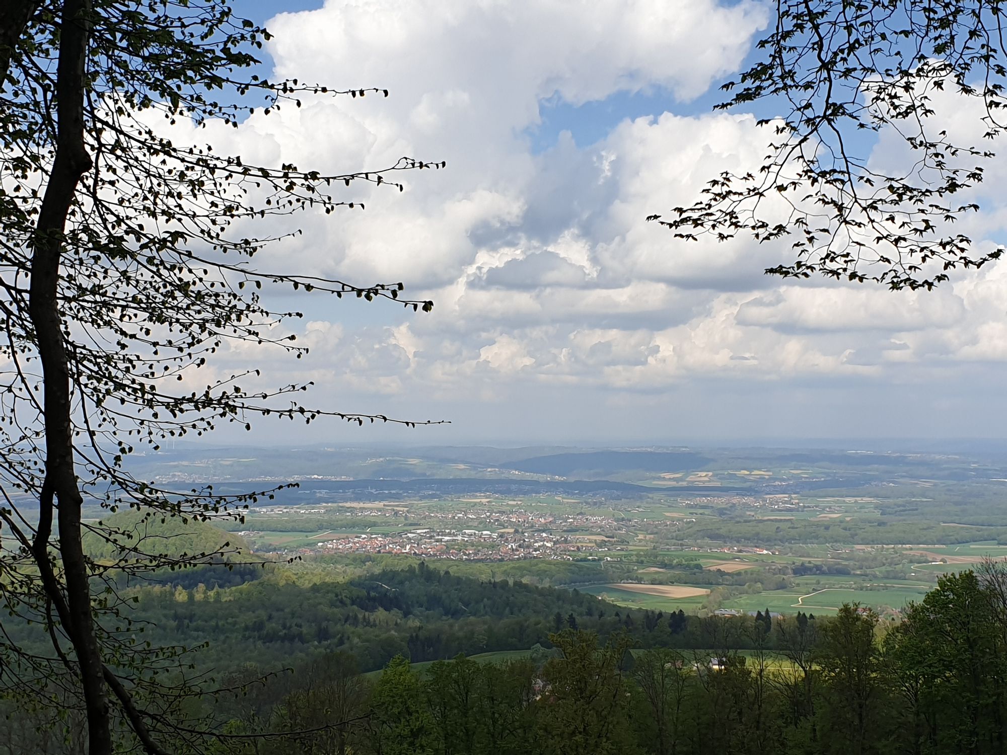
Gruibingen is wonderfully situated on the edge of the Stuttgart metropolitan region. The A 8 connects the community, and it is only 20 minutes to the airport. Yet, on 23 square kilometers, you find a diverse landscape that is home to many protected animal and plant species. Enjoy the outstanding views from the Double Albtrauf. Immerse yourself in light-flooded beech forests, orchards, and juniper heaths. Explore the open highlands with their rich hedge structure on foot or by mountain bike.
Municipality of Gruibingen
Hauptstraße 18 | 73344 Gruibingen
07335 - 96000 | info@gruibingen.de | www.gruibingen.de

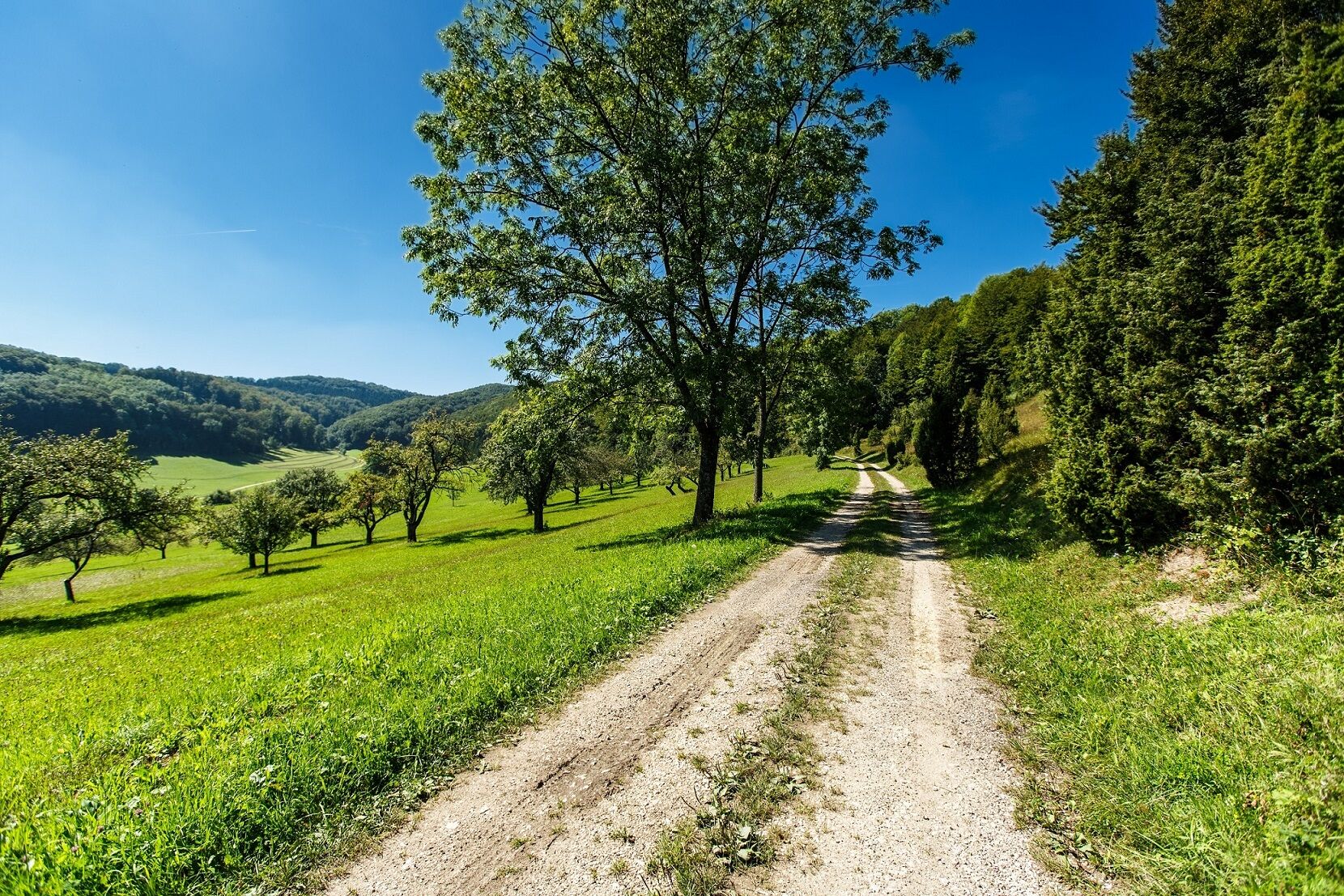
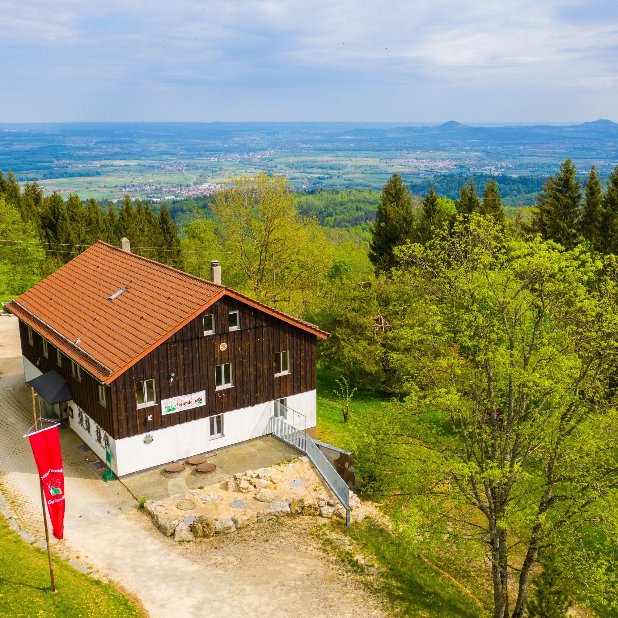
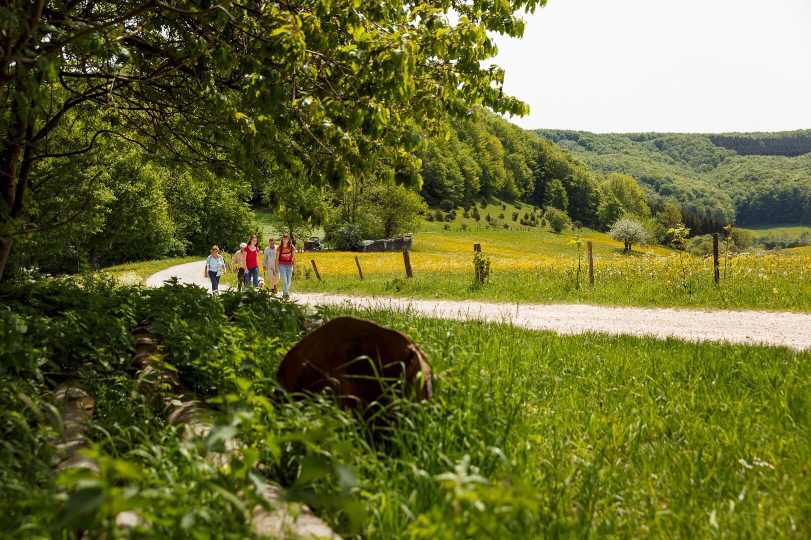

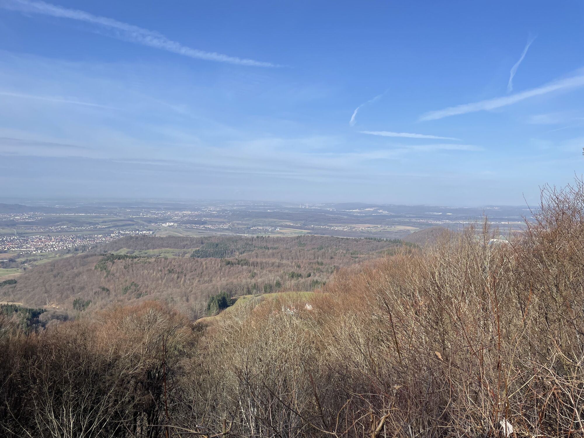
Starting from the parking lot at Boßler, the path leads to the country road, which is crossed at the junction to Bad Boll. Following the signage, you reach the Boßler house, which is open on weekends and during the summer holidays. From the Boßler house, you have an impressive view of the Alb foreland. A relief panel by the Nature Friends serves as an orientation aid.
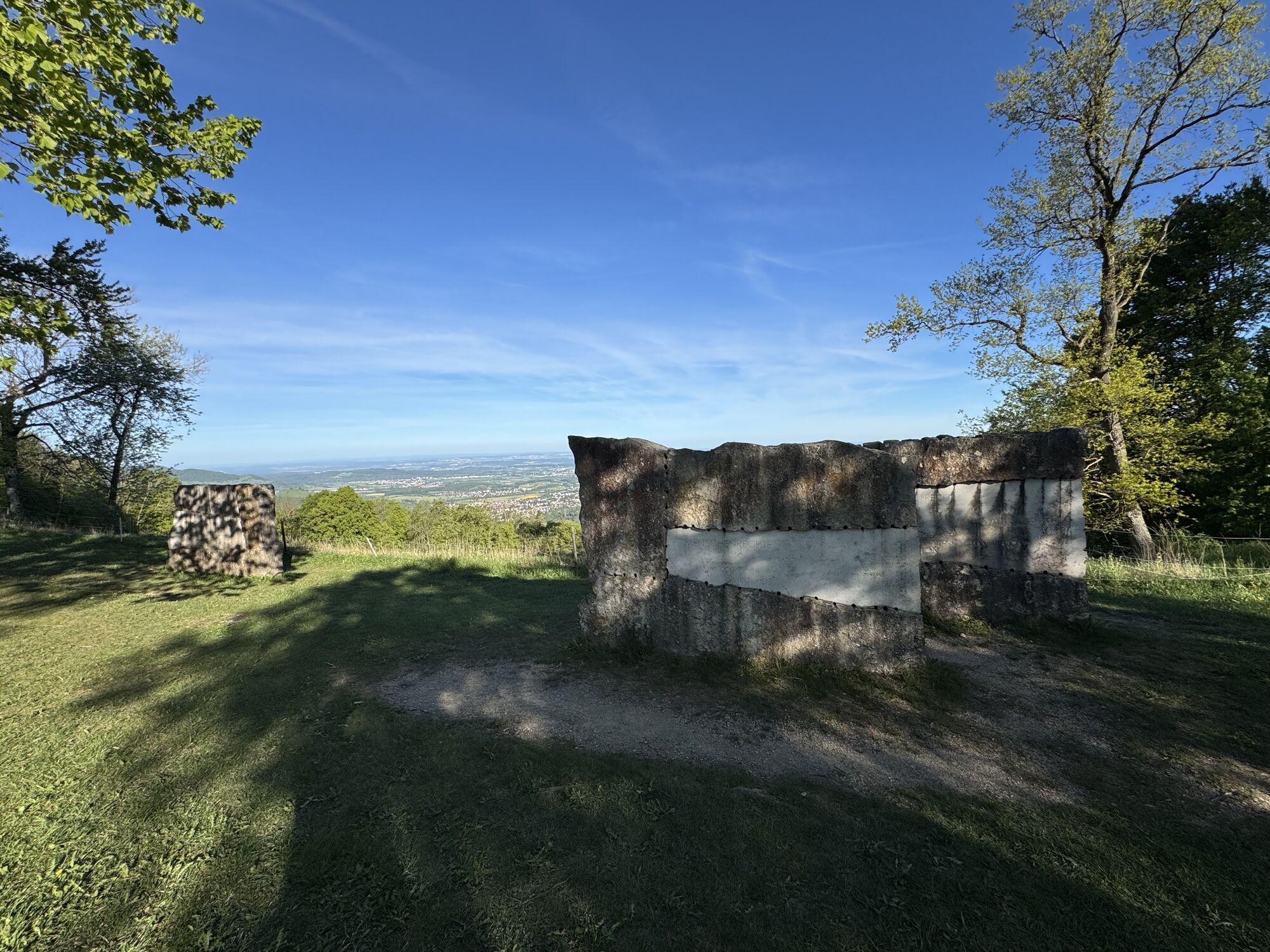
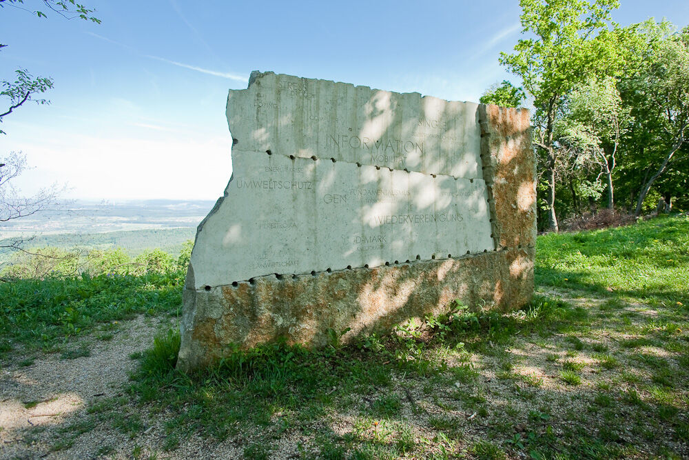
The hiking trail continues to the Boßler cross and along the edge of the ridge to the Gruibingen Wiesle. Here you will find another beautiful view, and the striking "Jahrhundertstein" can also be found.
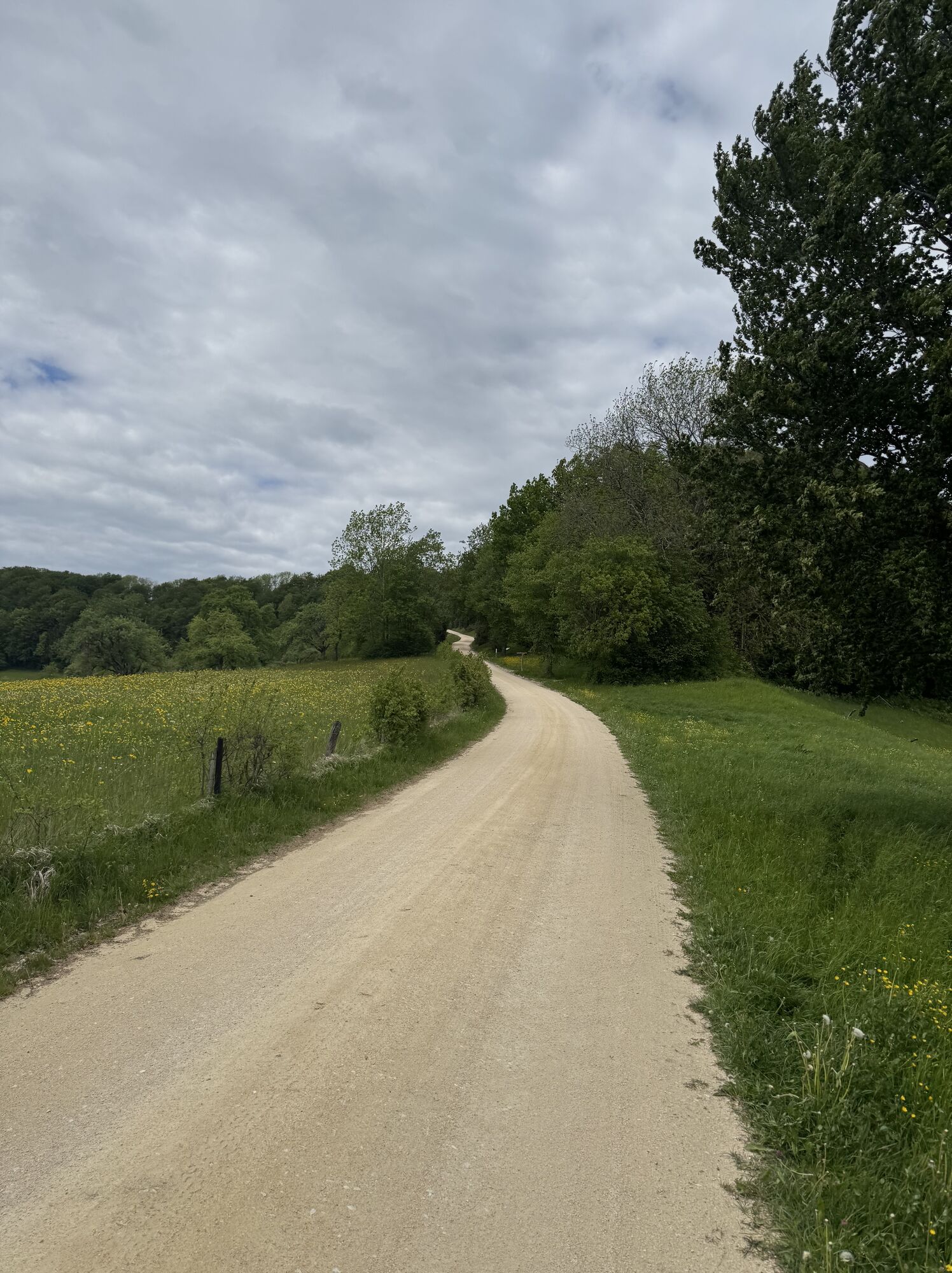
The path continues on the driveway to Wolfbühl, a spruce forest area. The Wolfbühl path runs past the privately used Wolfbühl house and leads down to the Hillenwang/Buchhalde saddle. From there it goes downhill into the Umpfen valley. The path continues to the asphalt mixing plant, and a field path finally brings you back to the starting point.
Directly on the A8 between Stuttgart and Ulm, exit Mühlhausen i.T.
Take RE 5 or MEX 16 from Stuttgart or Ulm to Göppingen. Then take bus line 981 to "Gruibingen, Brückenweg." From there it is about a 30-minute walk to the starting point of the route. Additionally, the RadWanderBus Reußenstein (RW1, RW2) runs to the "Boßler parking lot."
You can find the circular timetable at: www.vvs.de/fahrplan
Parking at the starting point.
T1
Respectful coexistence in the district of Göppingen.
Code of conduct:
Respect path closures and the quiet zones developed in the leisure path concept. Leave no traces such as garbage or animal droppings, treat your path carefully. Act thoughtfully and considerately. Adapt your behavior to the respective situation. Safety comes first. Respect other users of forest and countryside. Take care of animals and plants. Plan ahead and use daylight. Try to avoid twilight in the morning and evening. Observe the entry prohibition on agricultural land during the growing season. Stay on designated paths and avoid forest edges, so that wild animals can better get used to humans.More information at ruecksicht-macht-wege-breiter.de
Jahrhundertstein
To give a reminder of the 20th century with its many human sufferings, but also its great advancements and achievements – that was the task for the artist. Uli Gsell from Kemnat has mastered this task excellently. One hundred significant terms from one hundred years reflect the spirit of the times and history of the 20th century. Enjoy the peace and the view from the Gruibingen "Wiesle" and let yourself be inspired.
Lammbrauerei Hilsenbeck

Obľúbené výlety v okolí
-
4,5
Löwenpfad "Orchideenpfad" - Herbs, Pasqueflower and Juniper Heathlands
strednáTuristika 9,33 km -
4,8
Löwenpfad "Filsursprung-Runde" - pure nature around the Reußenstein
strednáTuristika 14,1 km -
5,0
Lion trail "Berta-Hörnle-Tour" - castle stories in a dreamlike setting
ťažkéTuristika 14,7 km -
3,7
Löwenpfad "Wasserberg-Runde" - pure panorama and typical Swabian Jura landscapes
ťažkéTuristika 12,0 km -
3,8
Lion trail "Ave-Weg" - A touch of pilgrimage on the Albtrauf
strednáTuristika 8,65 km -
1,0
Nordalbrunde
strednáTuristika 4,76 km -
Löwenpfad "Höhenrunde" - Hiltenburg and the Albtrauf in its purest form
strednáTuristika 10,7 km -
5,0
Lenningen: Weiße Lauter, Wasserfels, Guttenberger-,Gußmannshöhle, Schopflocher Moor, Hohgreutfels, Ruine Wielandstein
strednáTuristika 15,7 km -
5,0
Breitensteinrunde
svetloTuristika 10,3 km -
5,0
Owen - Teckberg - Brucker Hölzle - Hörnle
ťažkéTuristika 13,1 km
Turistika a stopovanie


Nenechajte si ujsť ponuky a inšpiráciu na ďalšiu dovolenku
Vaša e-mailová adresa bol pridaný do poštového zoznamu.





