






Hike through the Wutach Gorge to Bad Boll
Fotografie našich používateľov
-
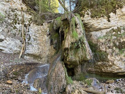
 © Kristina 1Vytvorené dňa 25.04.2026
 -
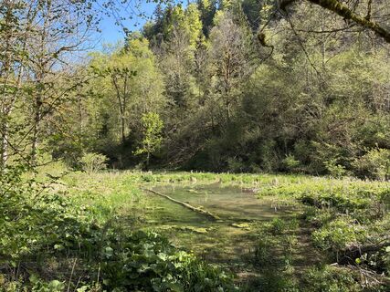 © Kristina 1Vytvorené dňa 25.04.2026
 -
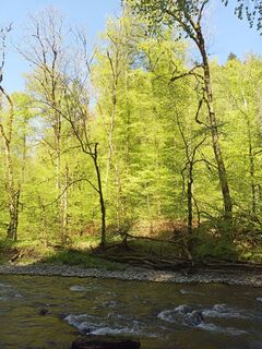
 © Norbert LaiferVytvorené dňa 25.04.2026
 -
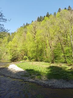 © Norbert LaiferVytvorené dňa 25.04.2026
 -
 © Norbert LaiferVytvorené dňa 25.04.2026
 -
 © Norbert LaiferVytvorené dňa 25.04.2026
 -
 © Norbert LaiferVytvorené dňa 25.04.2026
 -
 © Norbert LaiferVytvorené dňa 25.04.2026
 -
 © Norbert LaiferVytvorené dňa 25.04.2026
 -
 © Norbert LaiferVytvorené dňa 25.04.2026
 -
 © Kristina 1Vytvorené dňa 25.04.2026
 -
 © Norbert LaiferVytvorené dňa 25.04.2026
 -
 © Norbert LaiferVytvorené dňa 25.04.2026
 -
 © Norbert LaiferVytvorené dňa 25.04.2026
 -
 © Kristina 1Vytvorené dňa 25.04.2026
 -
 © Kristina 1Vytvorené dňa 25.04.2026
 -
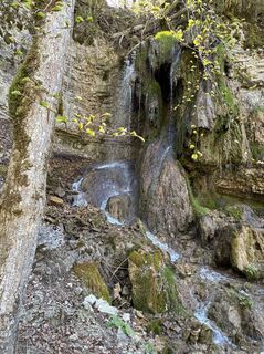 © Kristina 1Vytvorené dňa 25.04.2026
 -
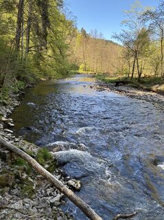 © Kristina 1Vytvorené dňa 25.04.2026
 -
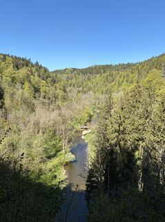 © Kristina 1Vytvorené dňa 25.04.2026
 -
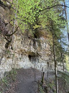 © Kristina 1Vytvorené dňa 25.04.2026
 -
 © Kristina 1Vytvorené dňa 25.04.2026
 -
 © Kristina 1Vytvorené dňa 25.04.2026
 -
 © Kristina 1Vytvorené dňa 25.04.2026
 -
 © Kristina 1Vytvorené dňa 25.04.2026
 -
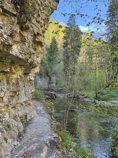 © Kristina 1Vytvorené dňa 25.04.2026
 -
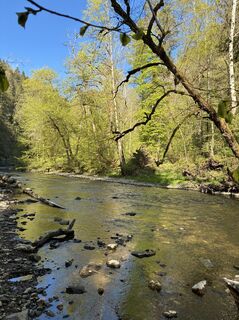 © Kristina 1Vytvorené dňa 25.04.2026
 -
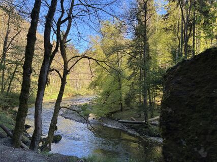 © Kristina 1Vytvorené dňa 25.04.2026
 -
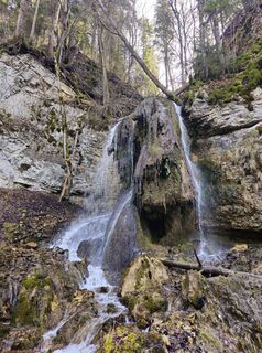
 © Maximilian OehlerVytvorené dňa 07.03.2026
 -
 © SchmidiVytvorené dňa 21.06.2025
 -
 © SchmidiVytvorené dňa 21.06.2025
 -
 © SchmidiVytvorené dňa 21.06.2025
 -
 © SchmidiVytvorené dňa 21.06.2025
 -
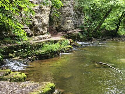 © SchmidiVytvorené dňa 21.06.2025
 -
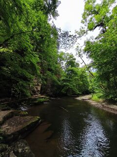 © SchmidiVytvorené dňa 21.06.2025
 -
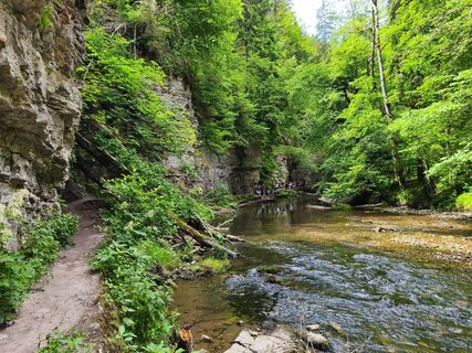 © SchmidiVytvorené dňa 21.06.2025
 -
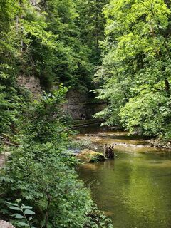 © SchmidiVytvorené dňa 21.06.2025
 -
 © Noreen (NoKe)Vytvorené dňa 19.06.2025
 -
 © Noreen (NoKe)Vytvorené dňa 19.06.2025
 -
 © Bettina LotzVytvorené dňa 19.10.2024
 -
 © Bettina LotzVytvorené dňa 19.10.2024
 -
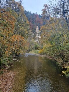 © Bettina LotzVytvorené dňa 19.10.2024
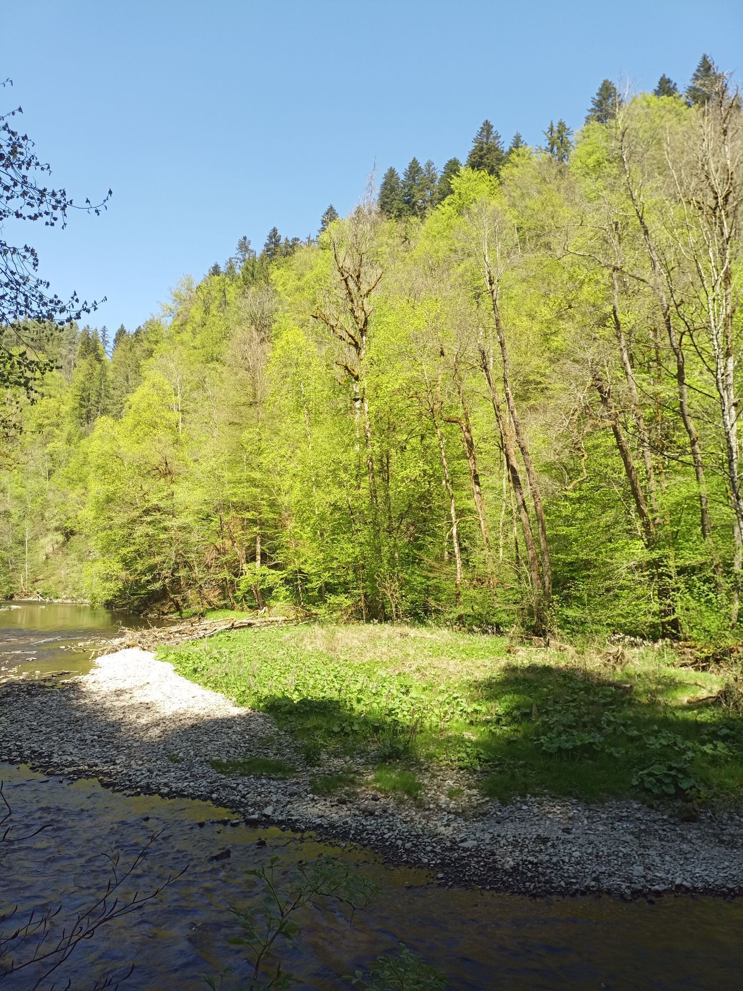
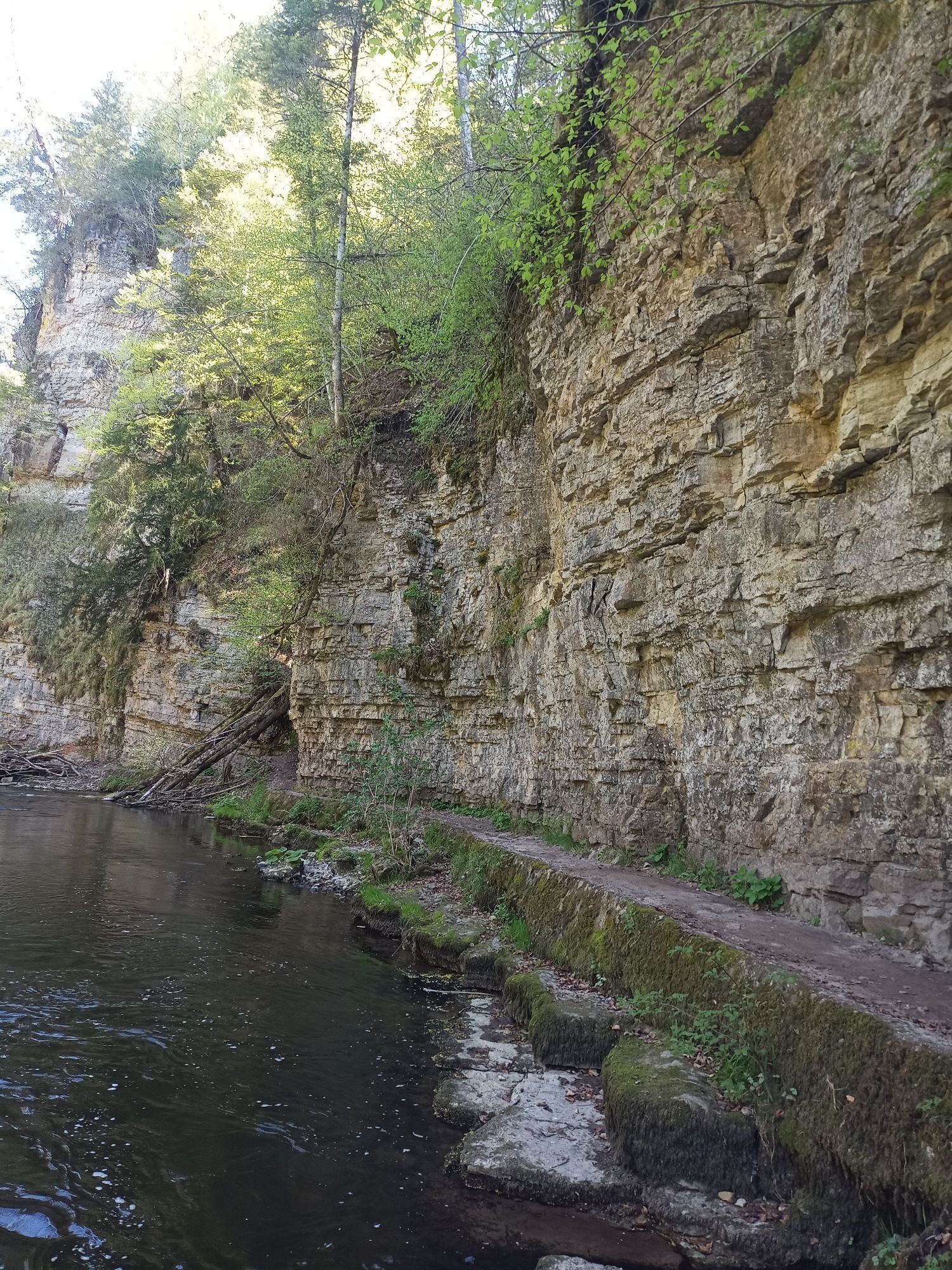
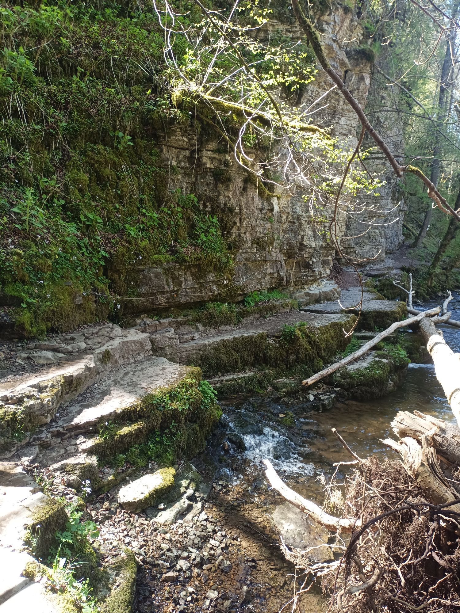
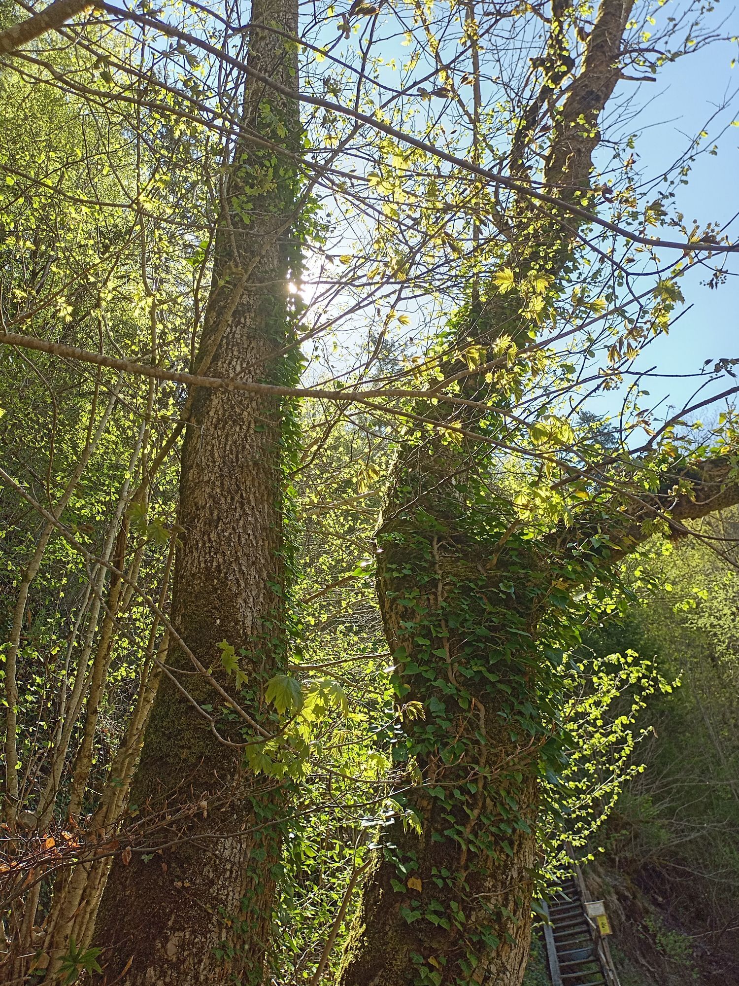
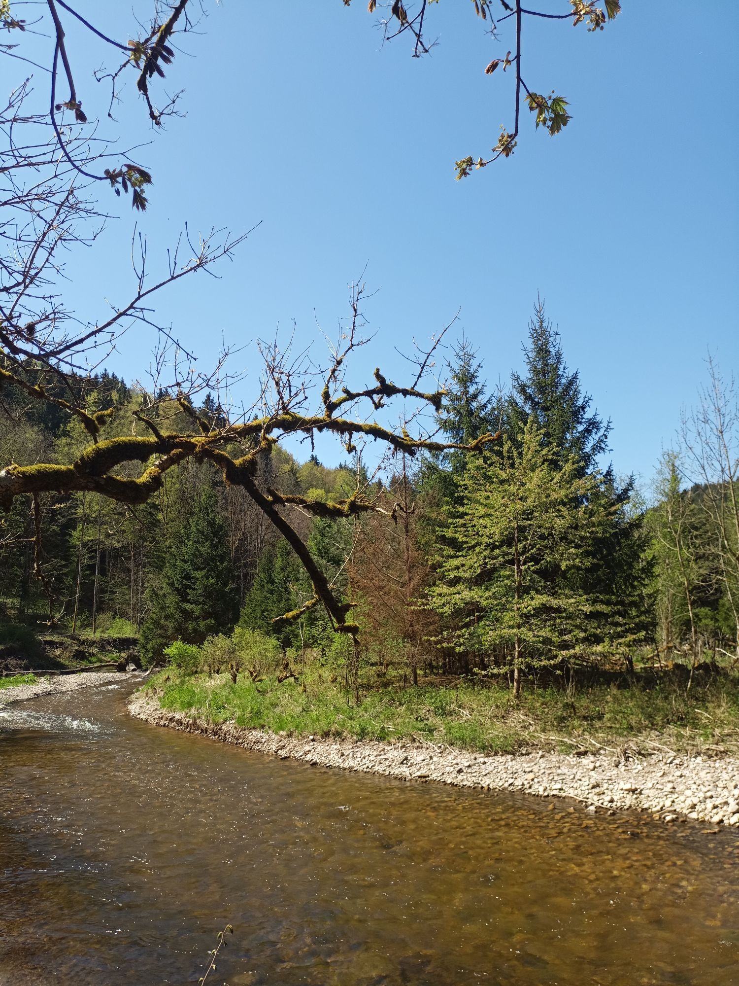
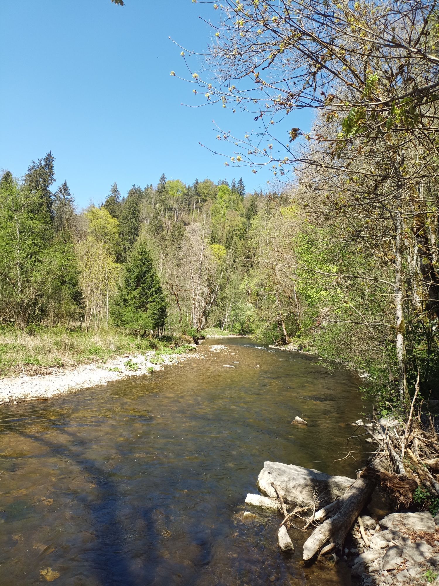
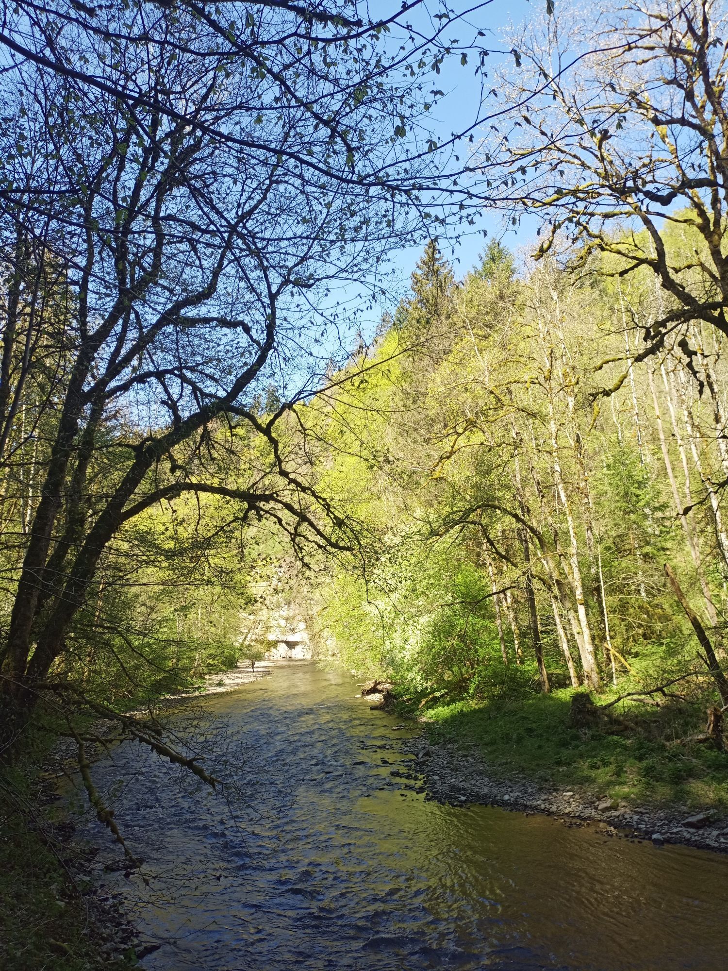
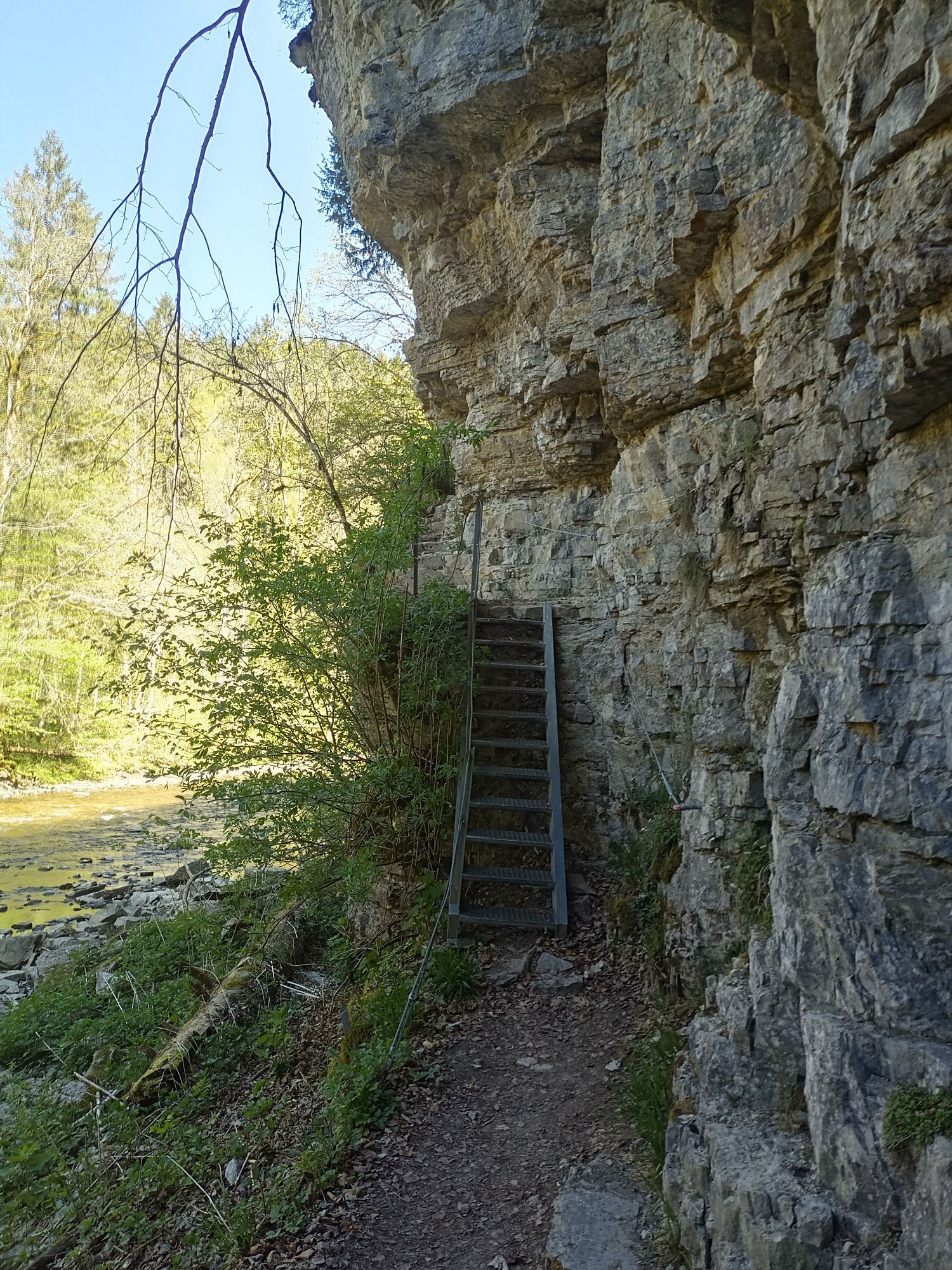
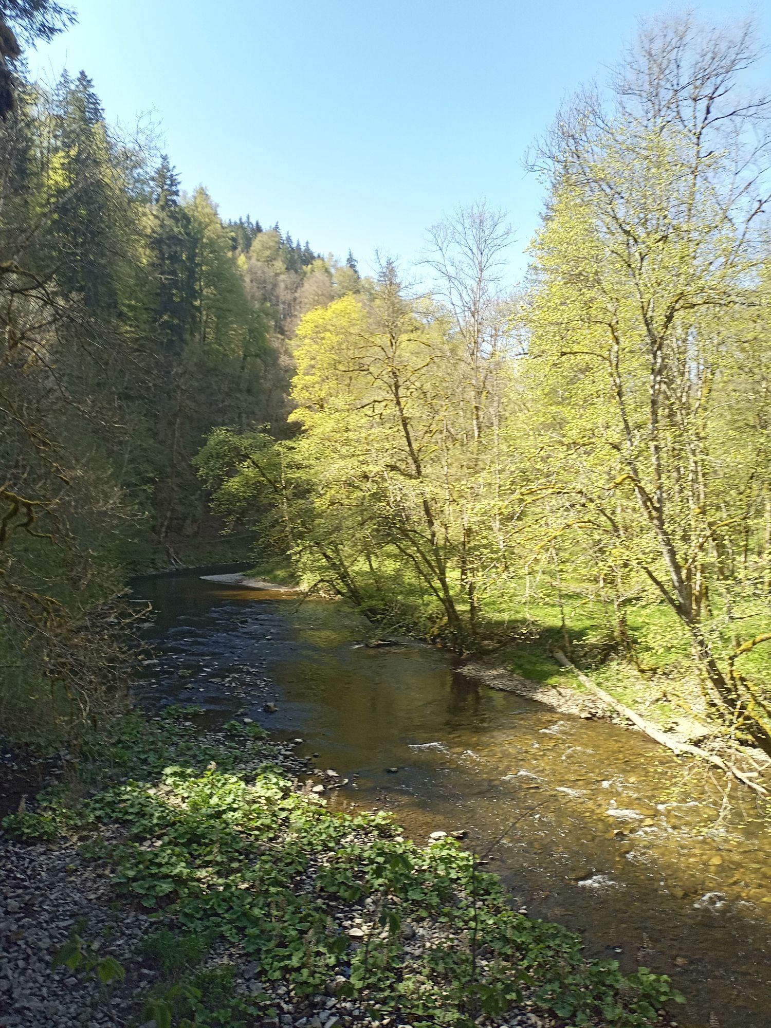
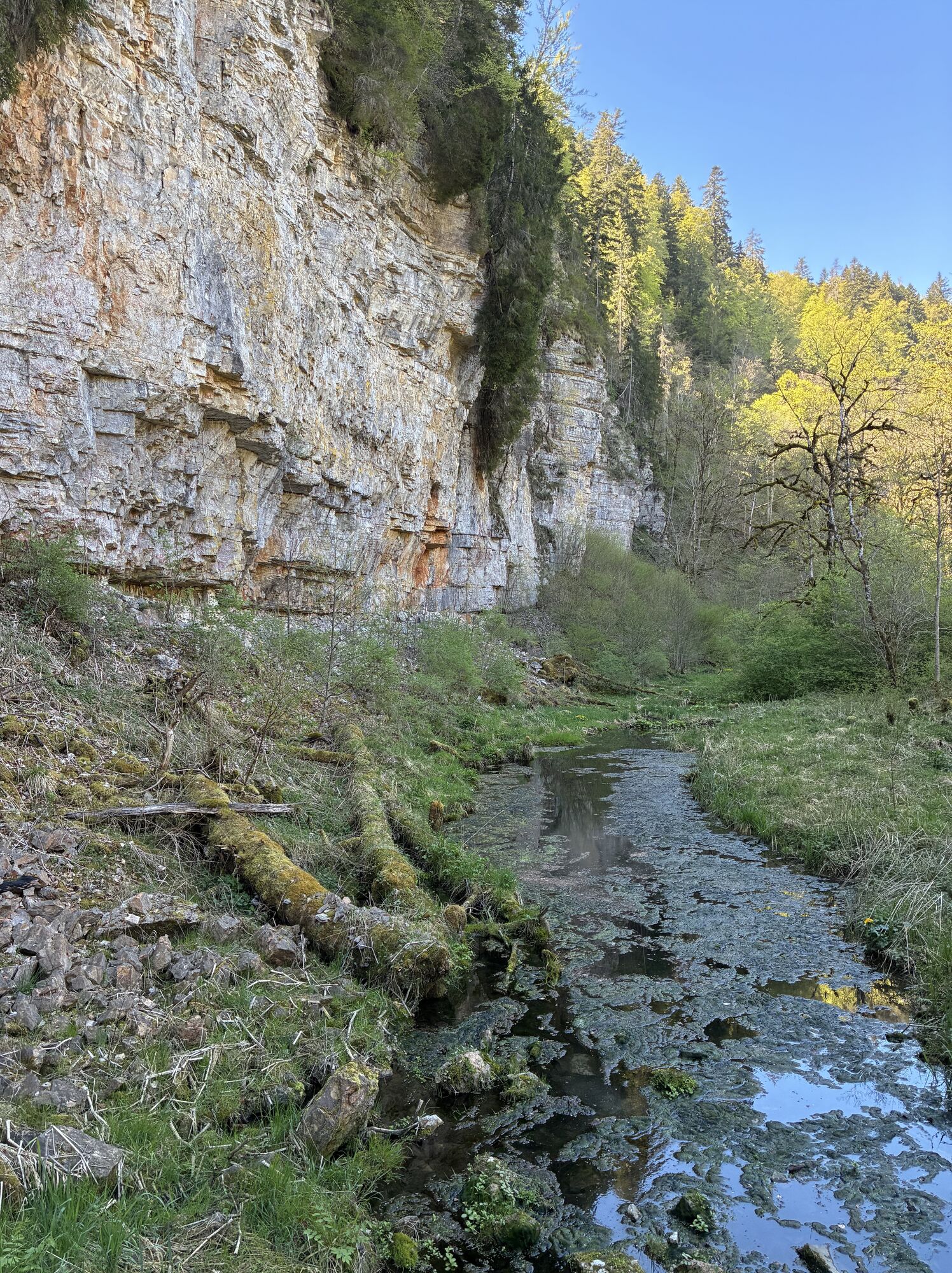
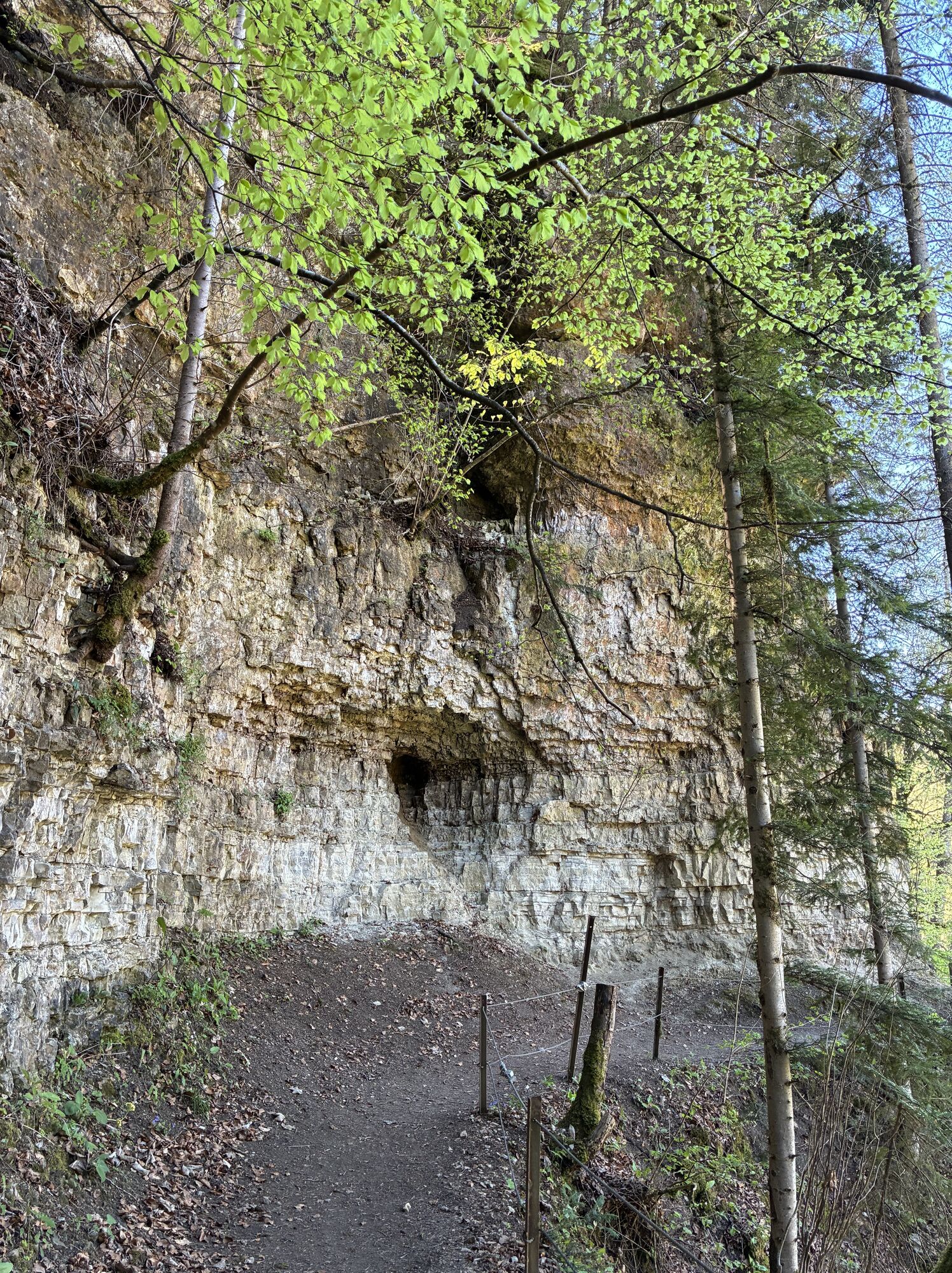
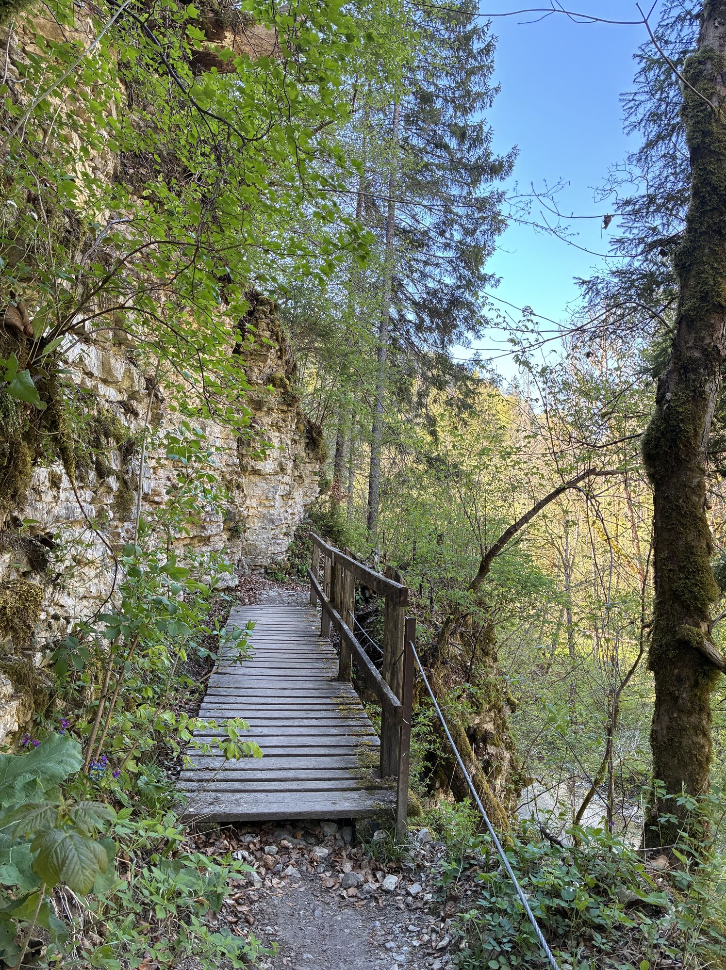
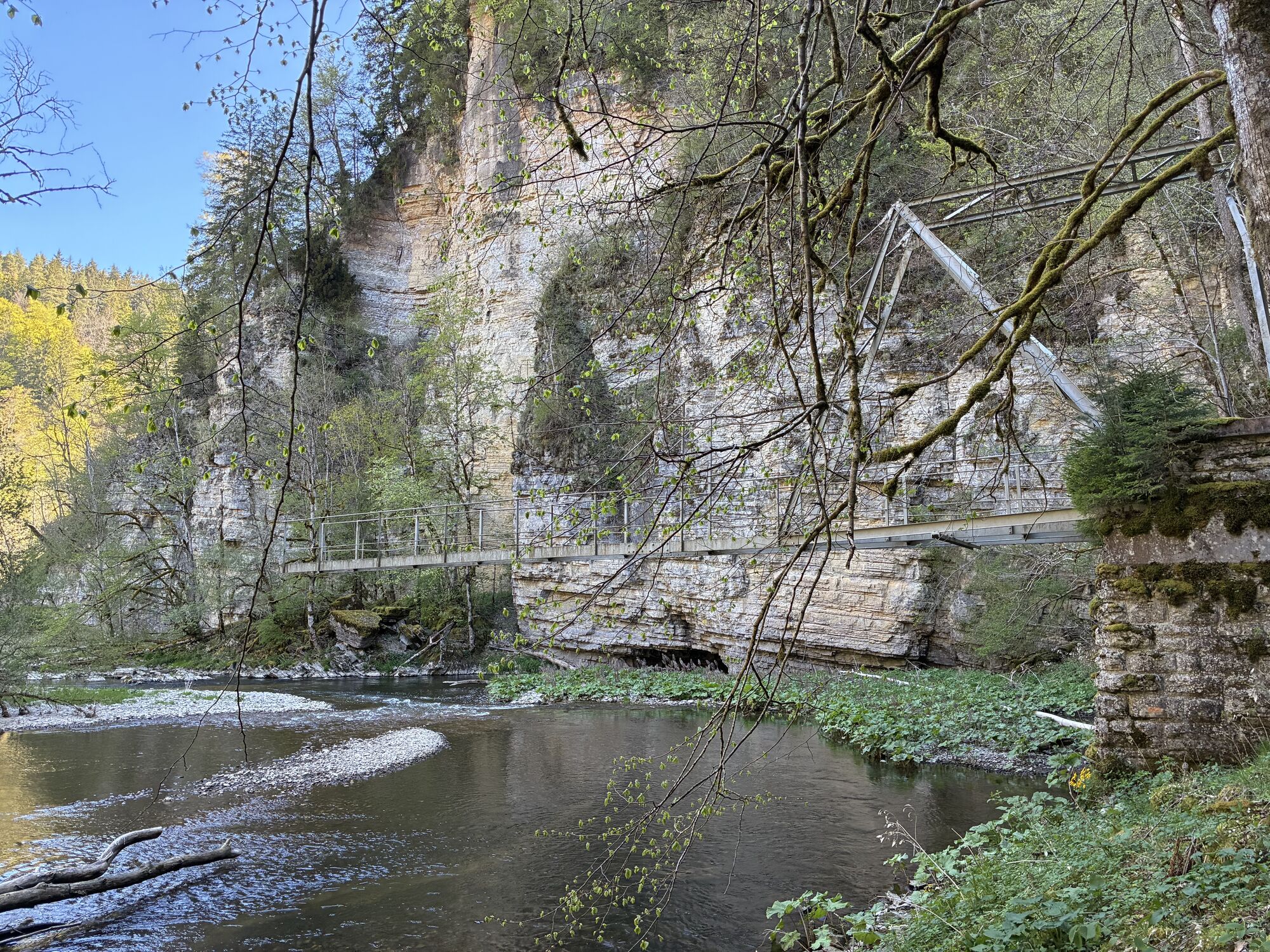
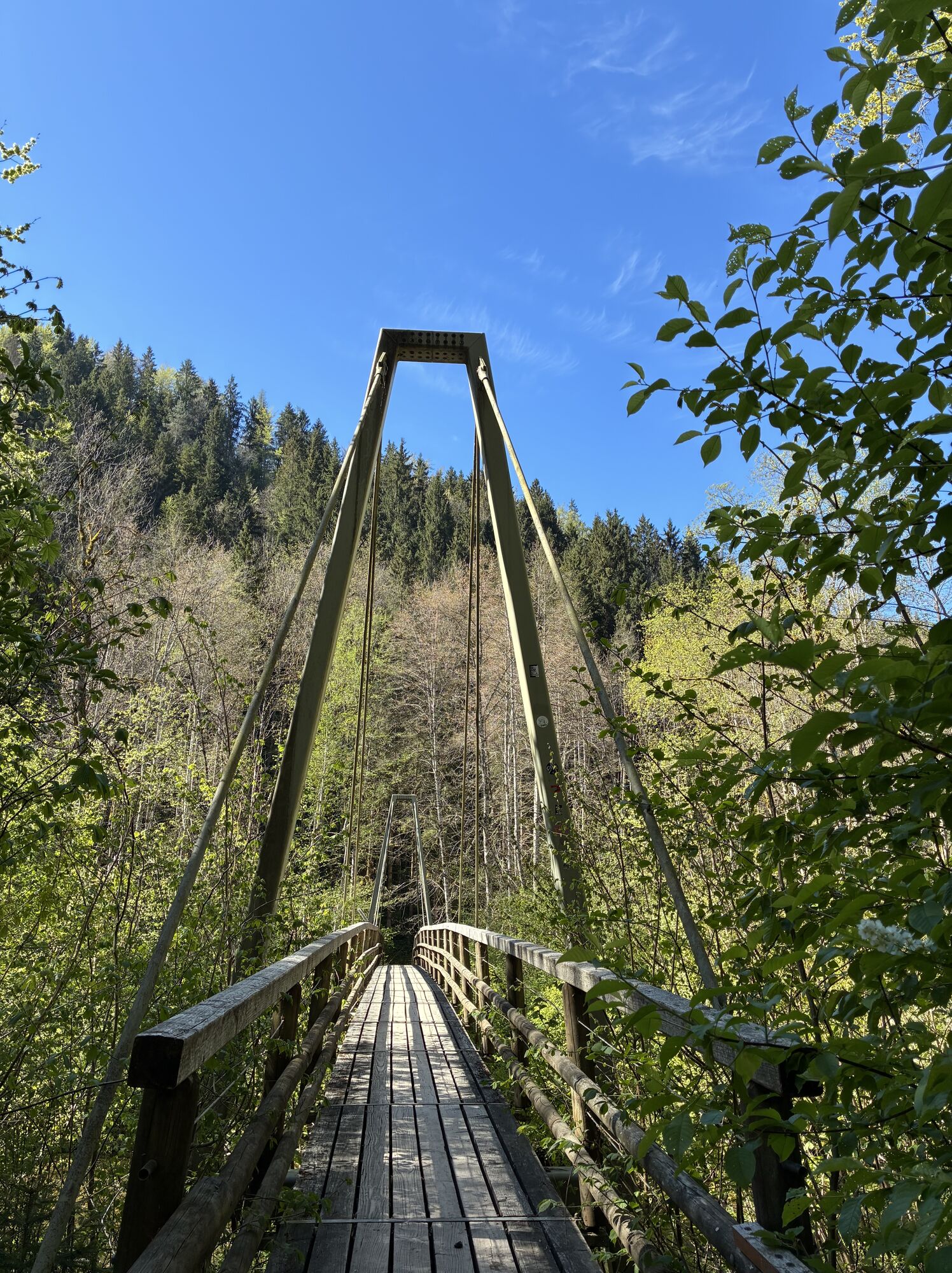
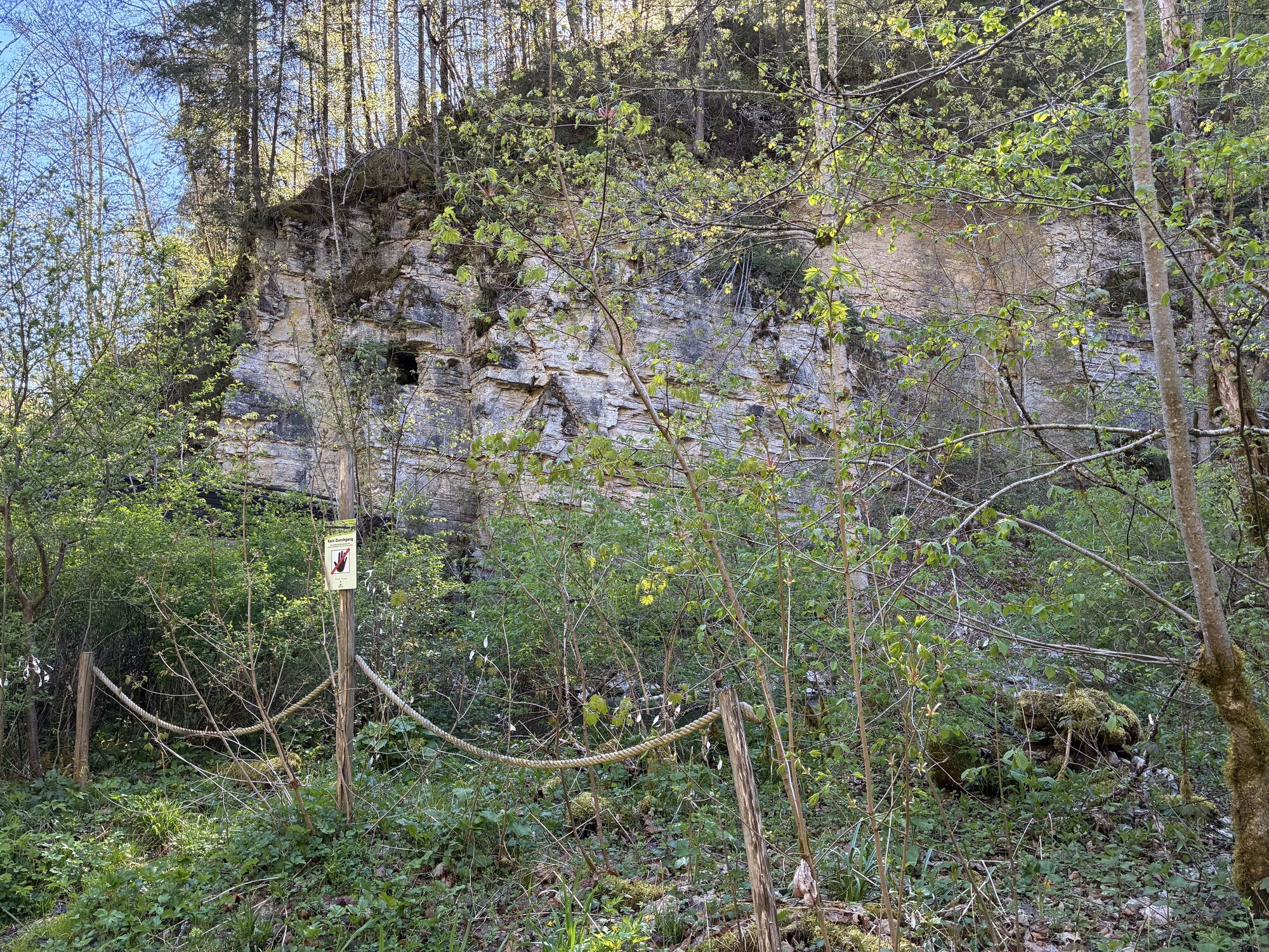
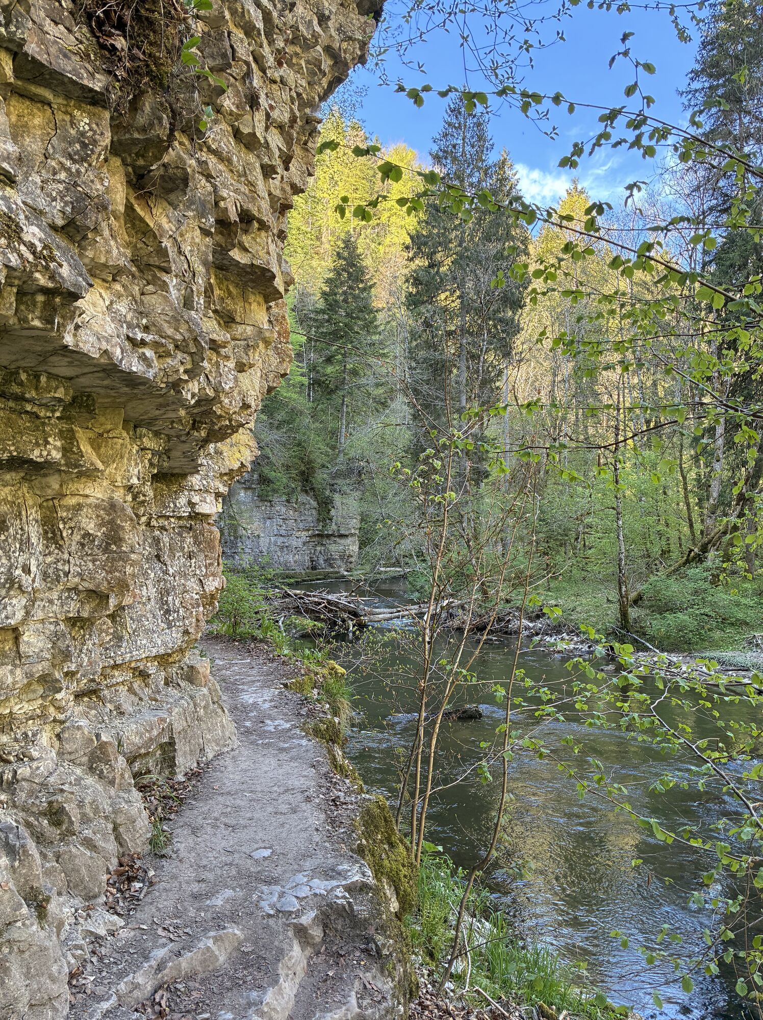
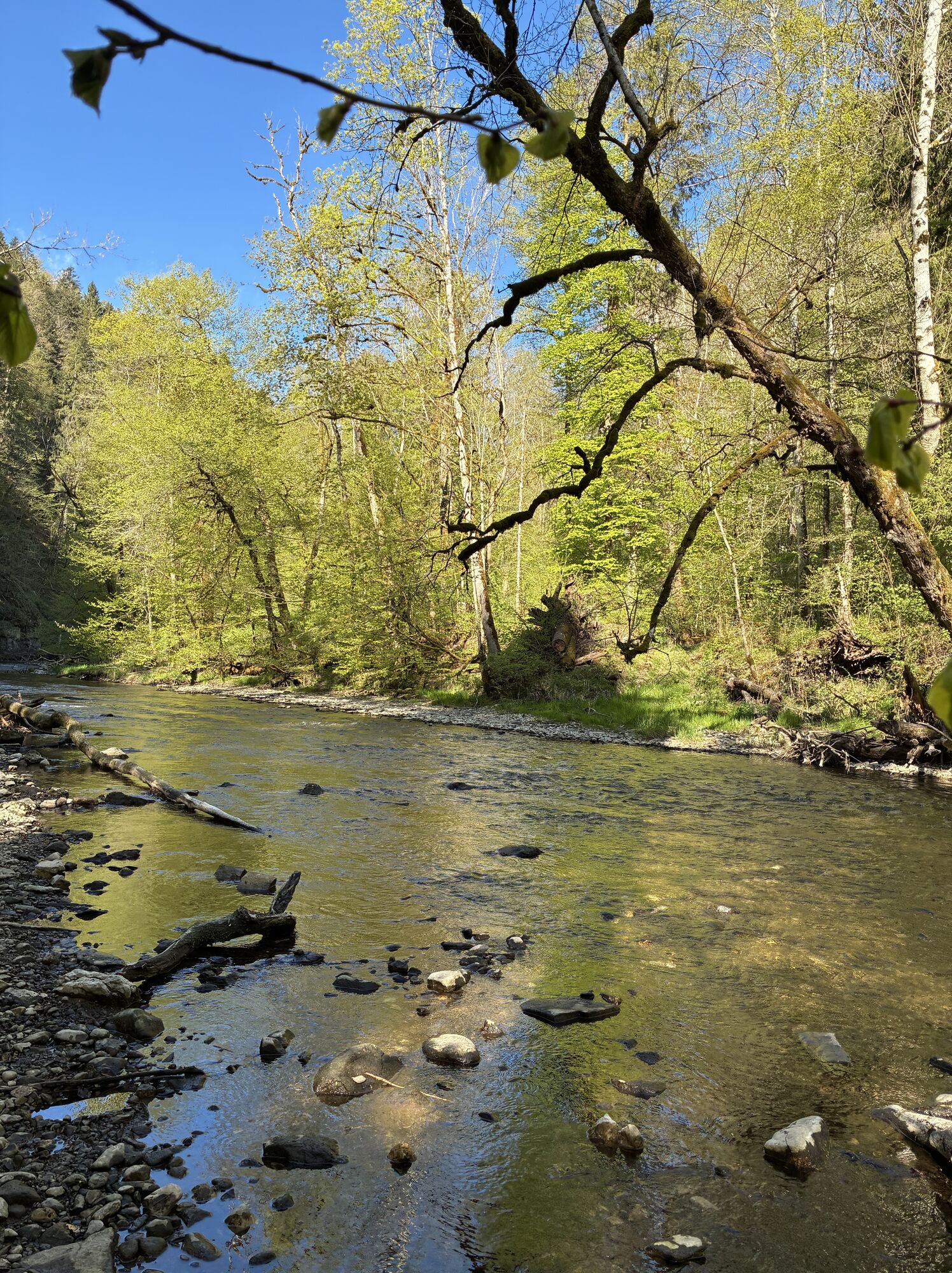
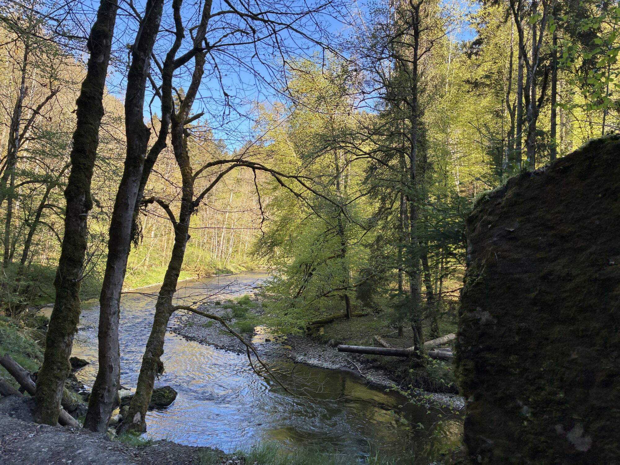
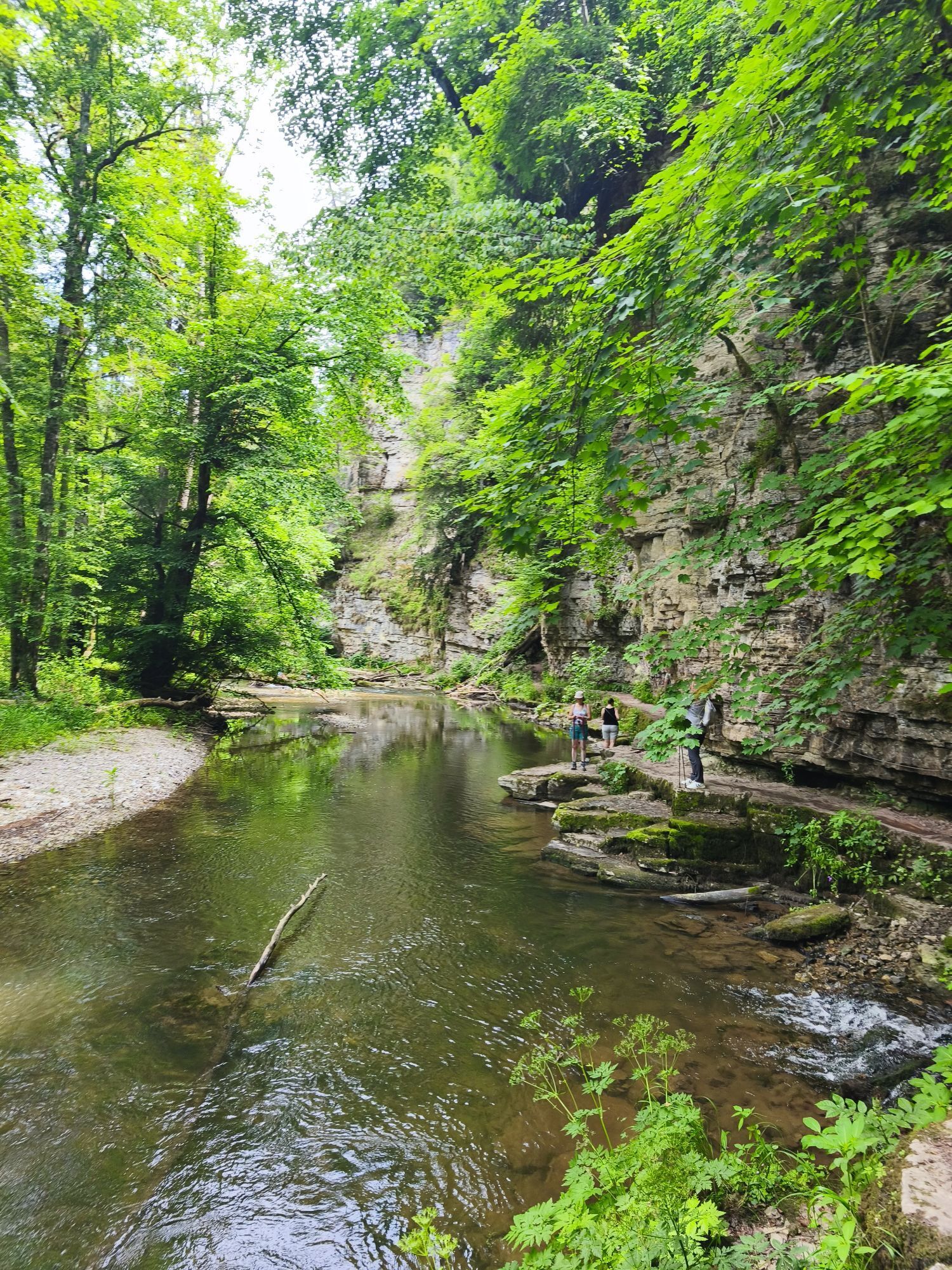
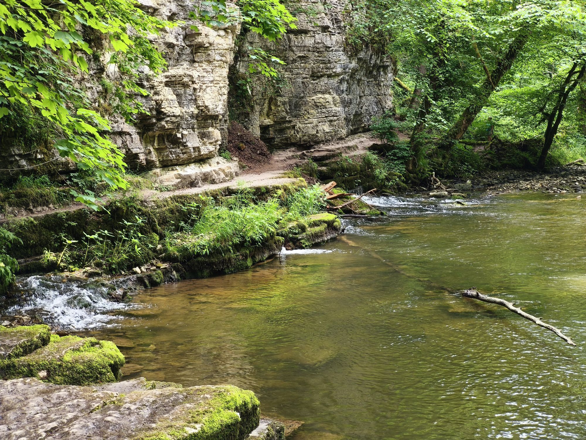
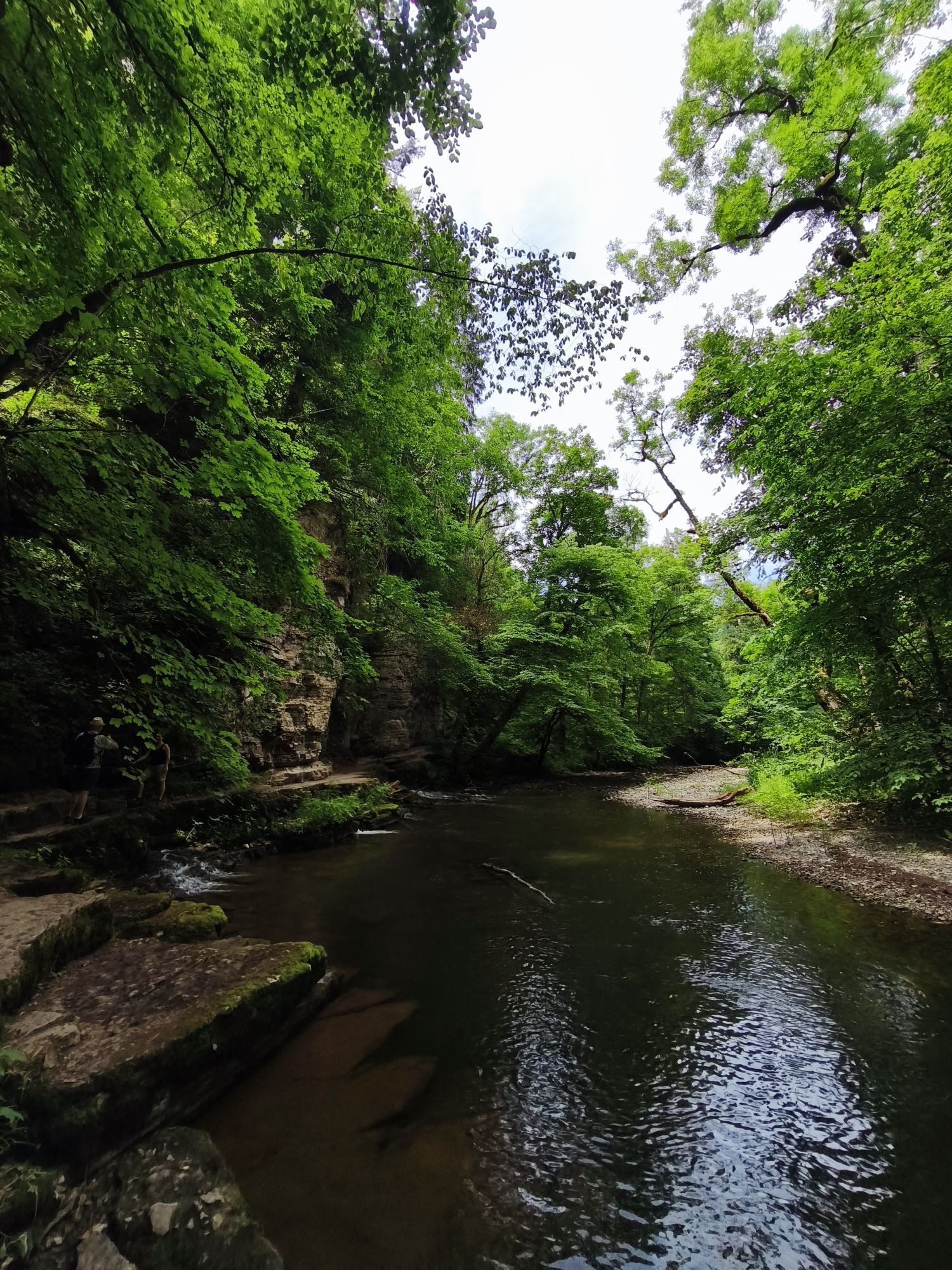
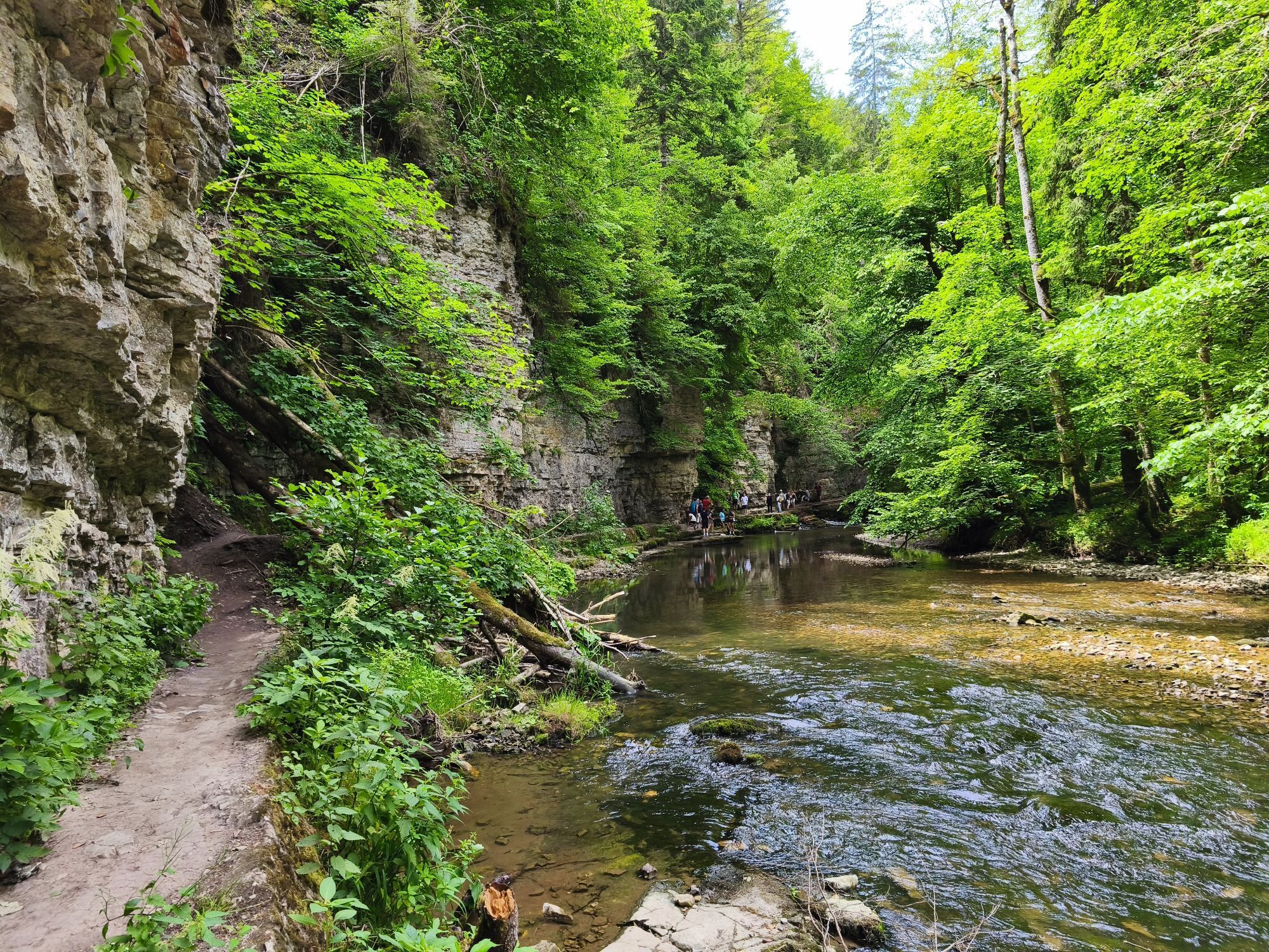
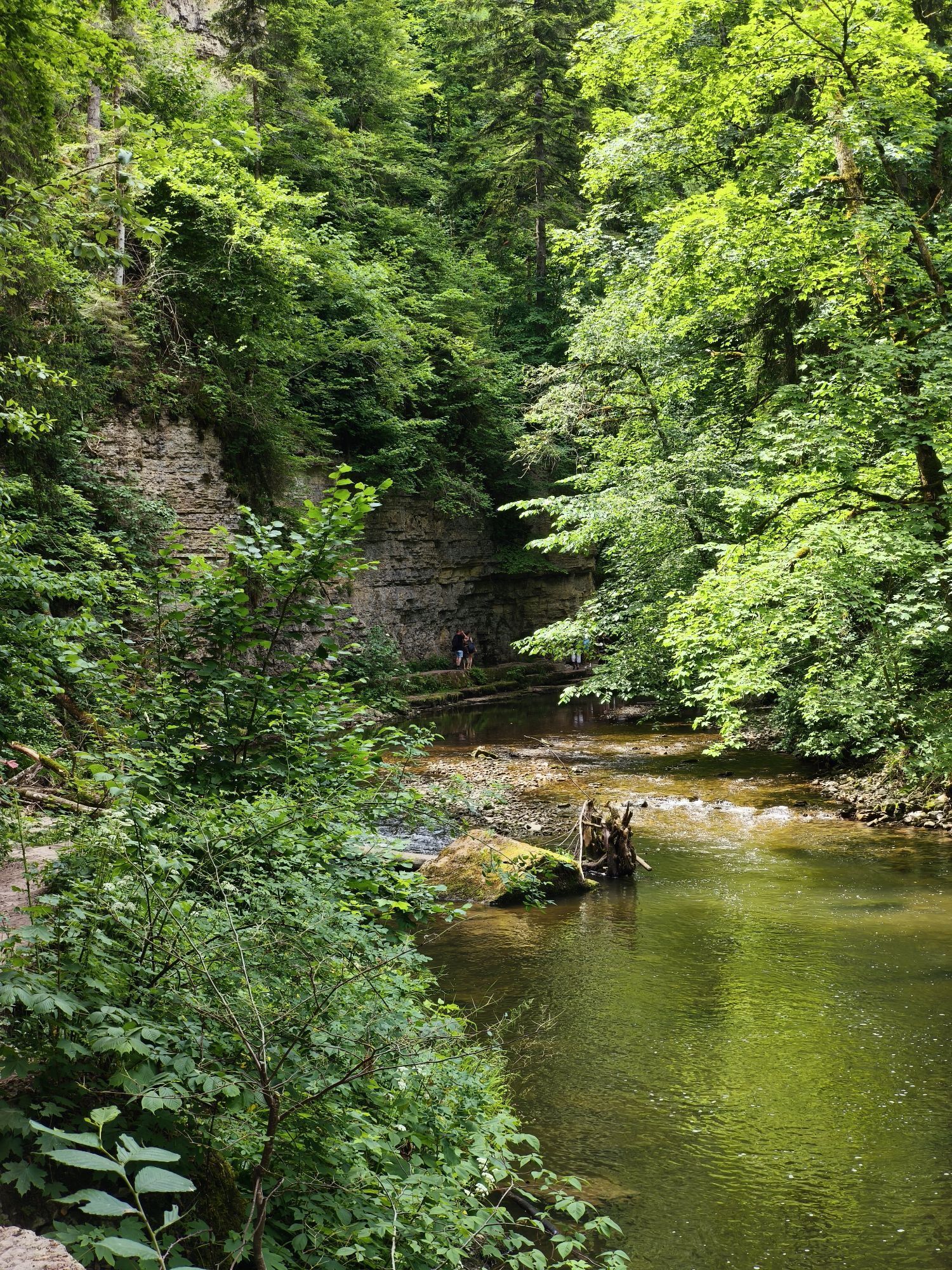
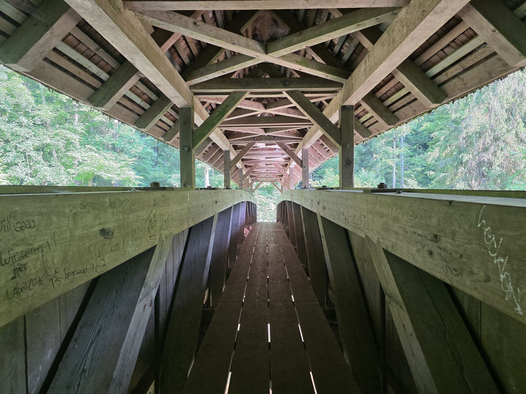
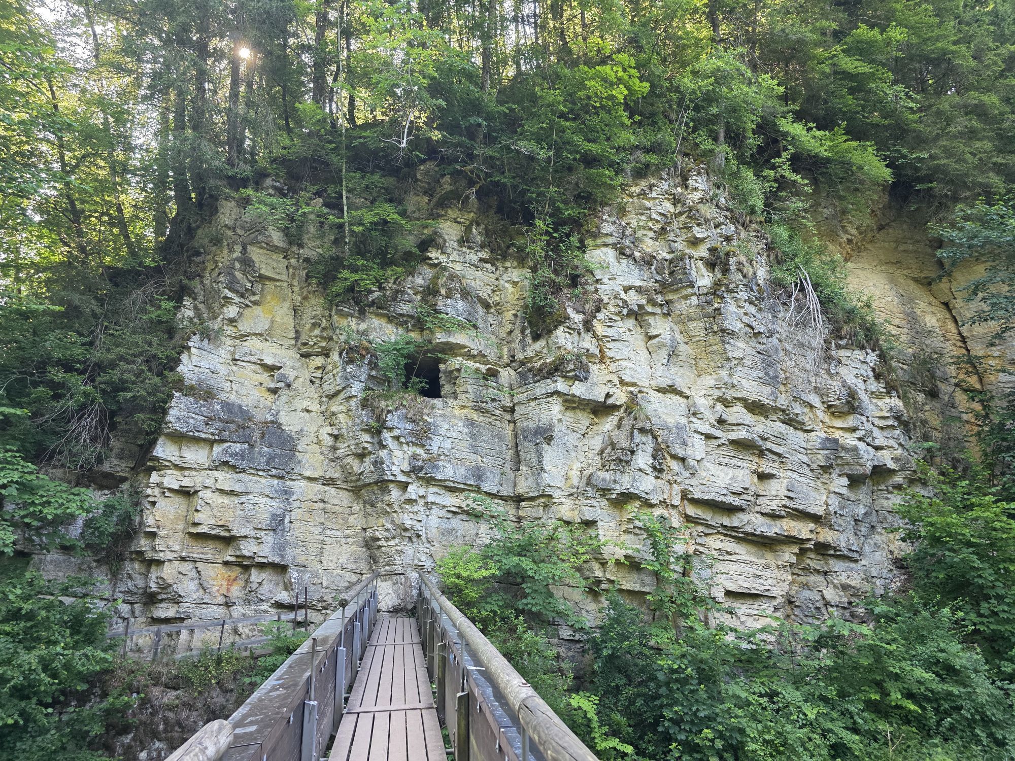
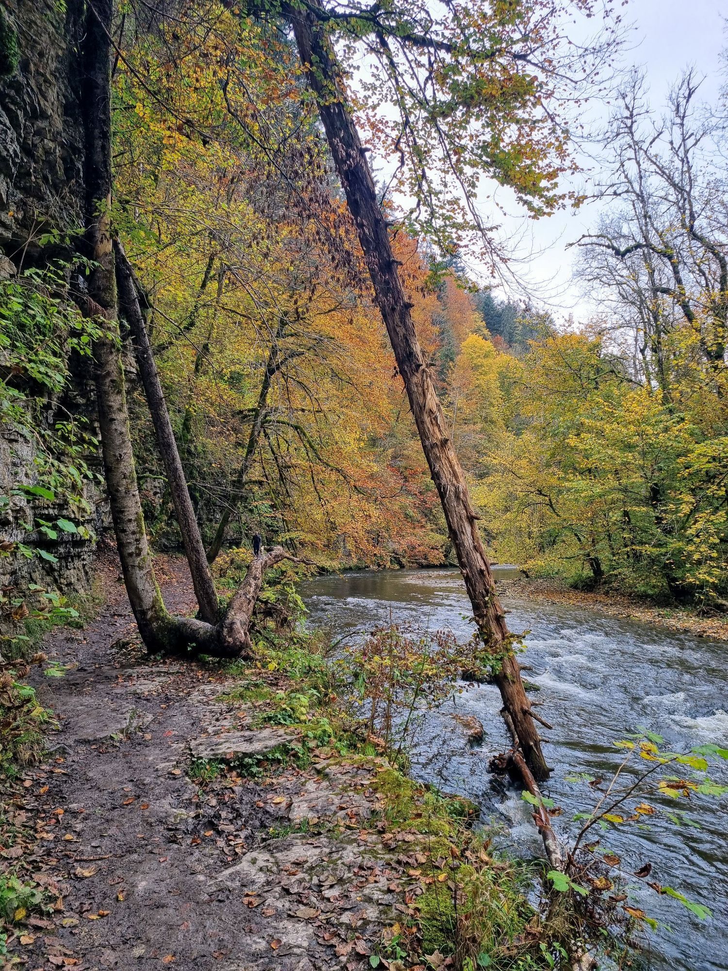
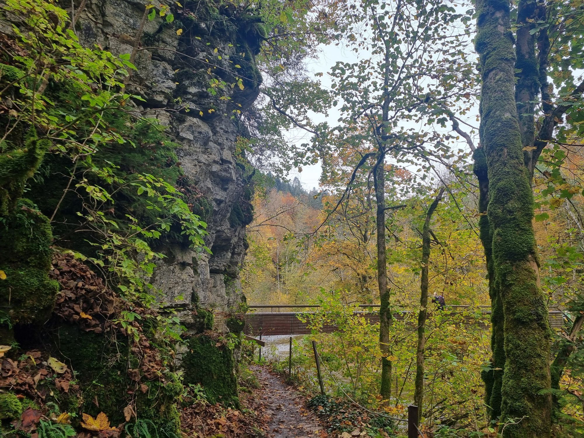
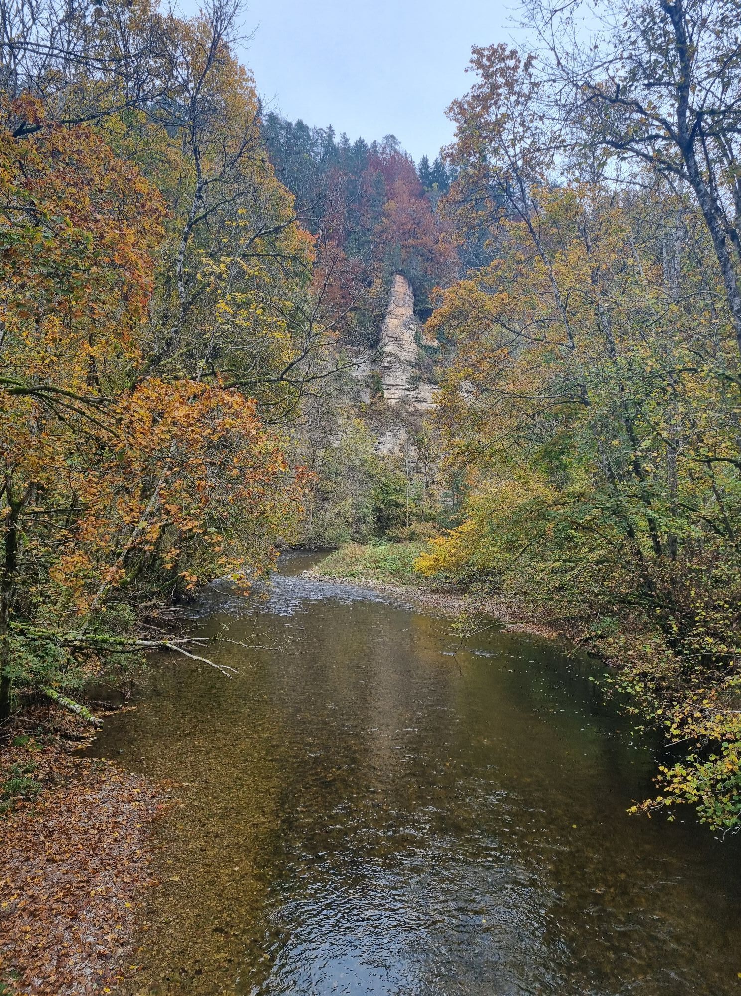
The Wutach Gorge offers an unforgettable walking experience for young and old. It is located in the heart of Germany's largest nature park - the Southern Black Forest Nature Park. The Wutach Gorge is not...
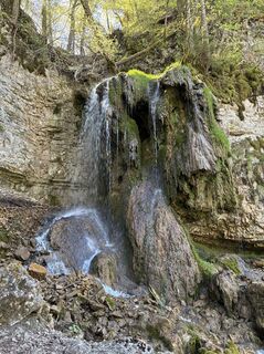
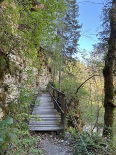
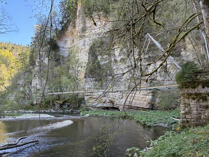
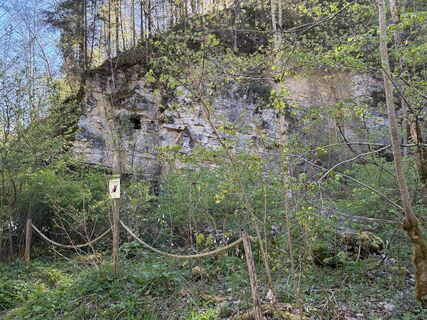
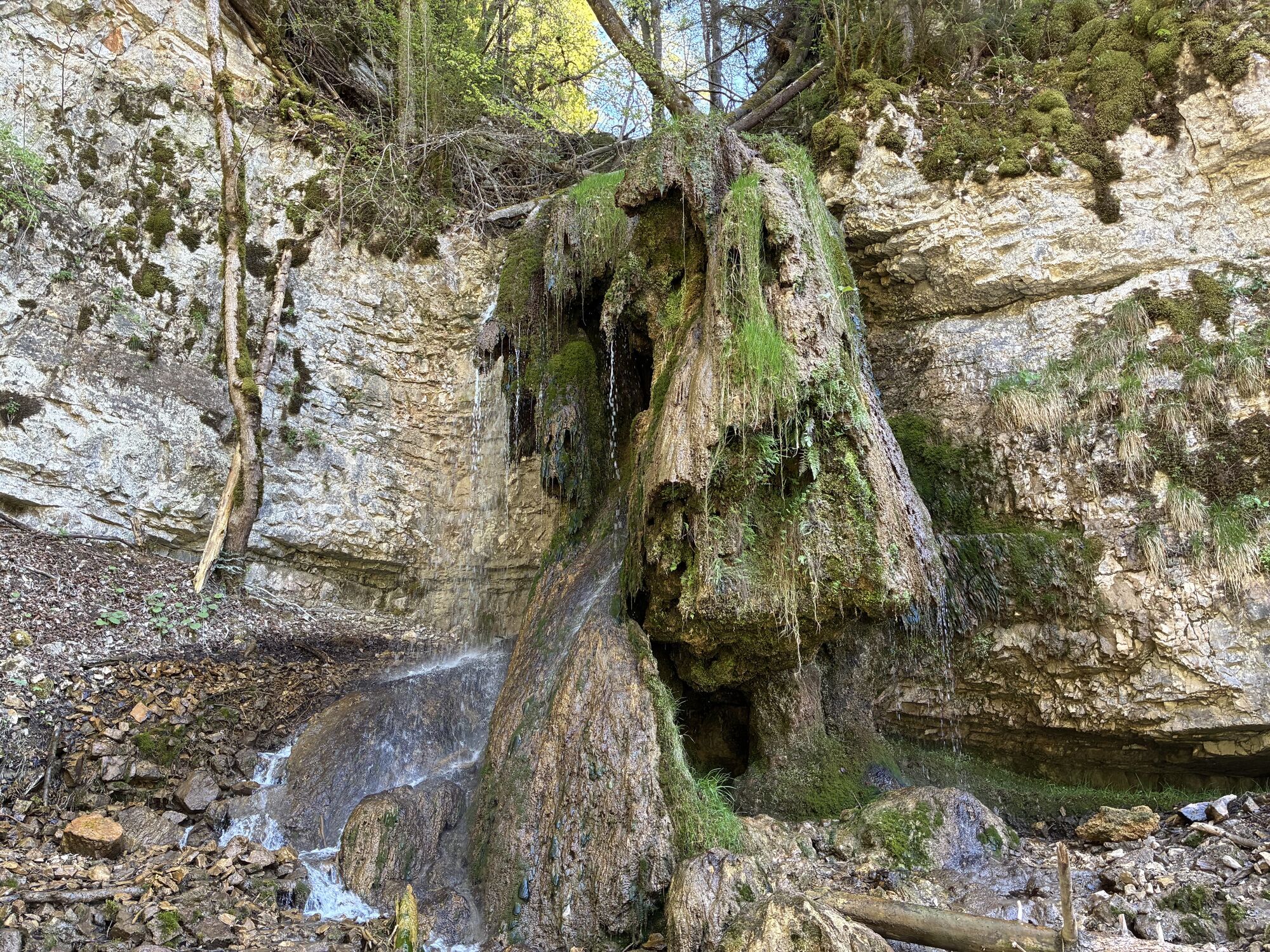
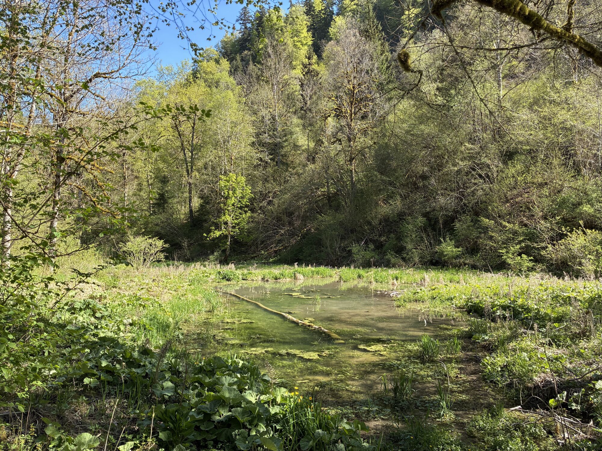
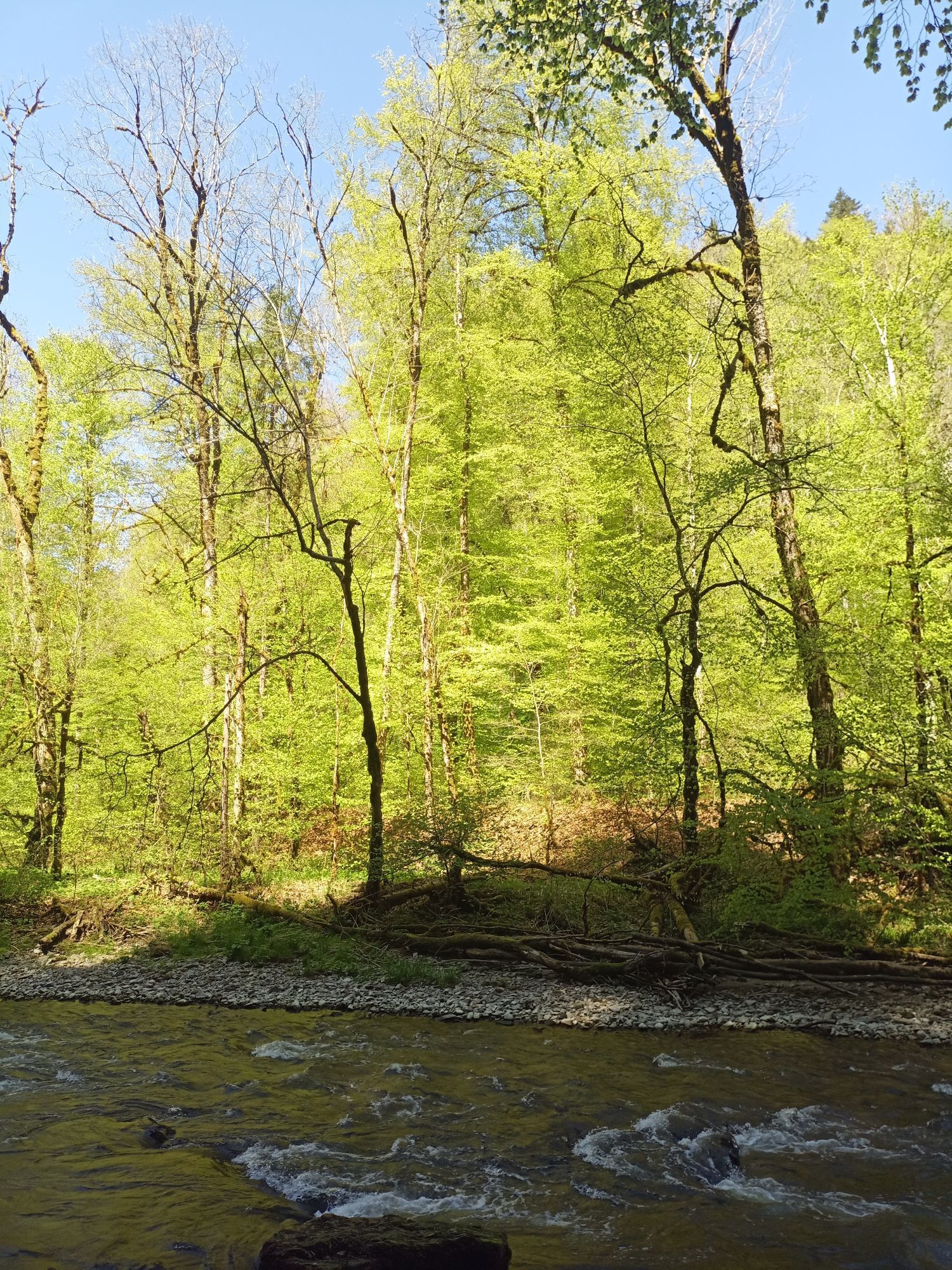
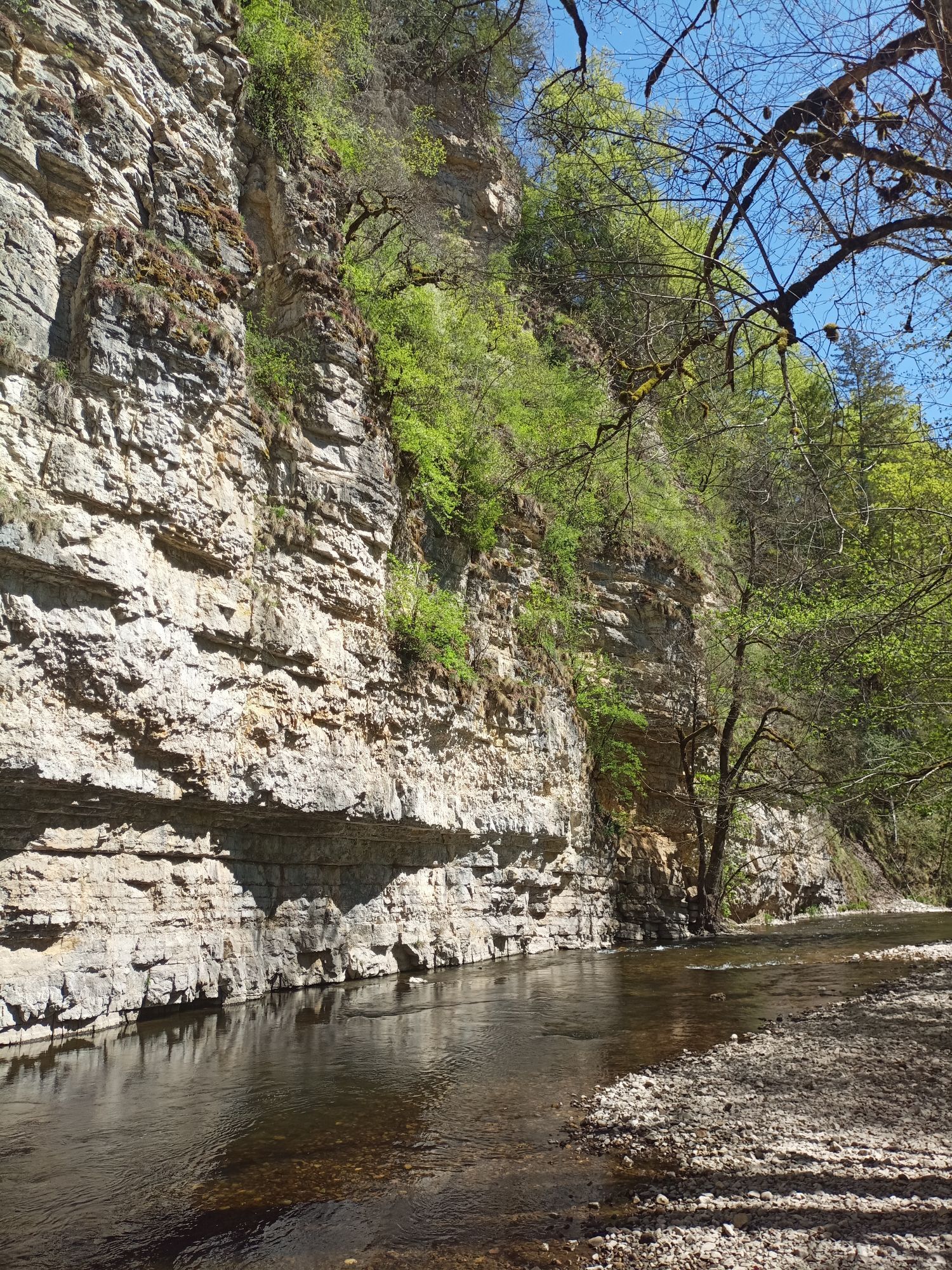
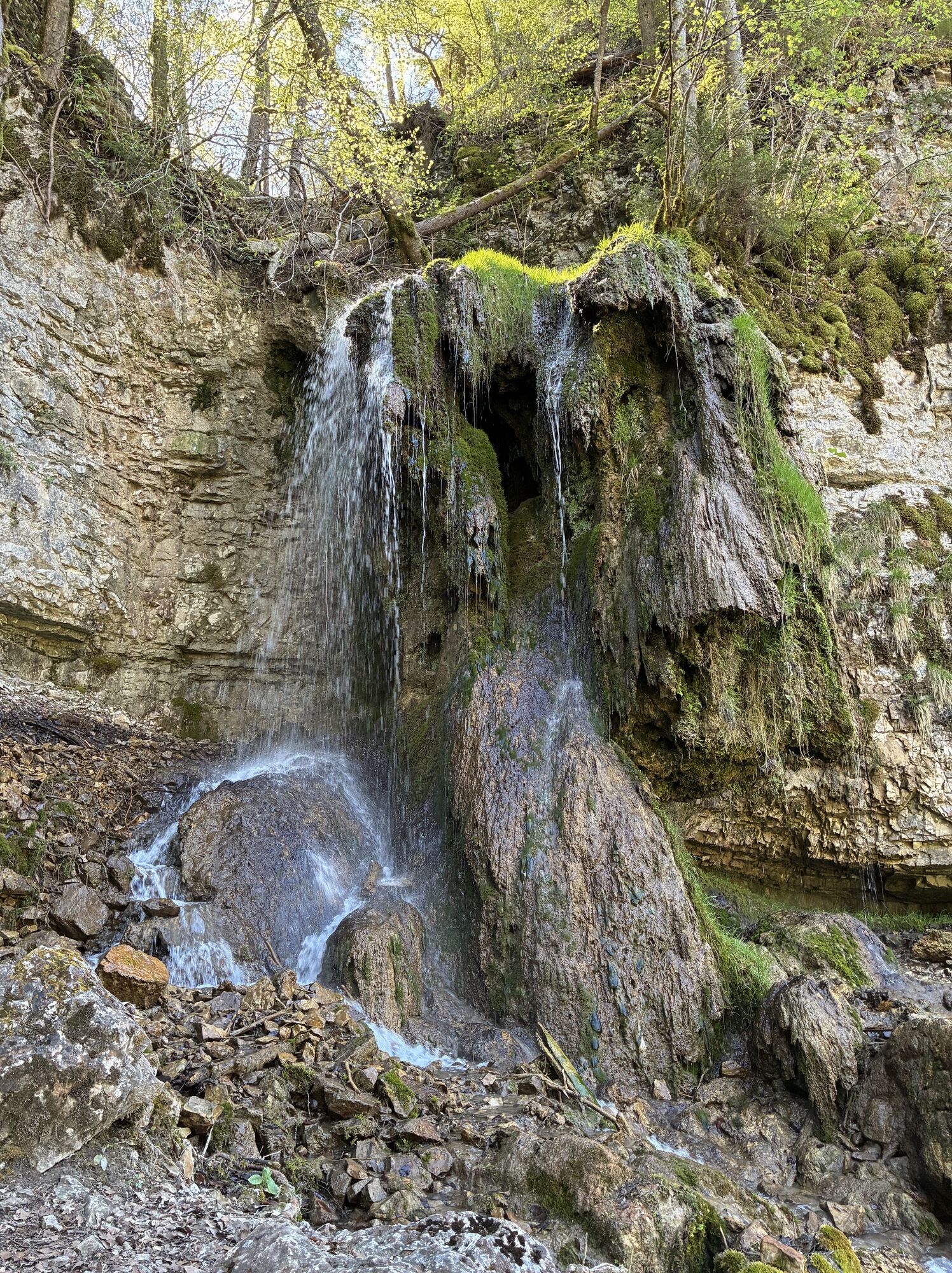
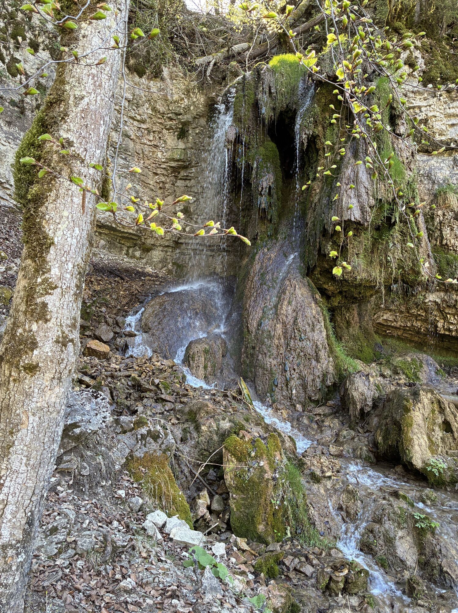
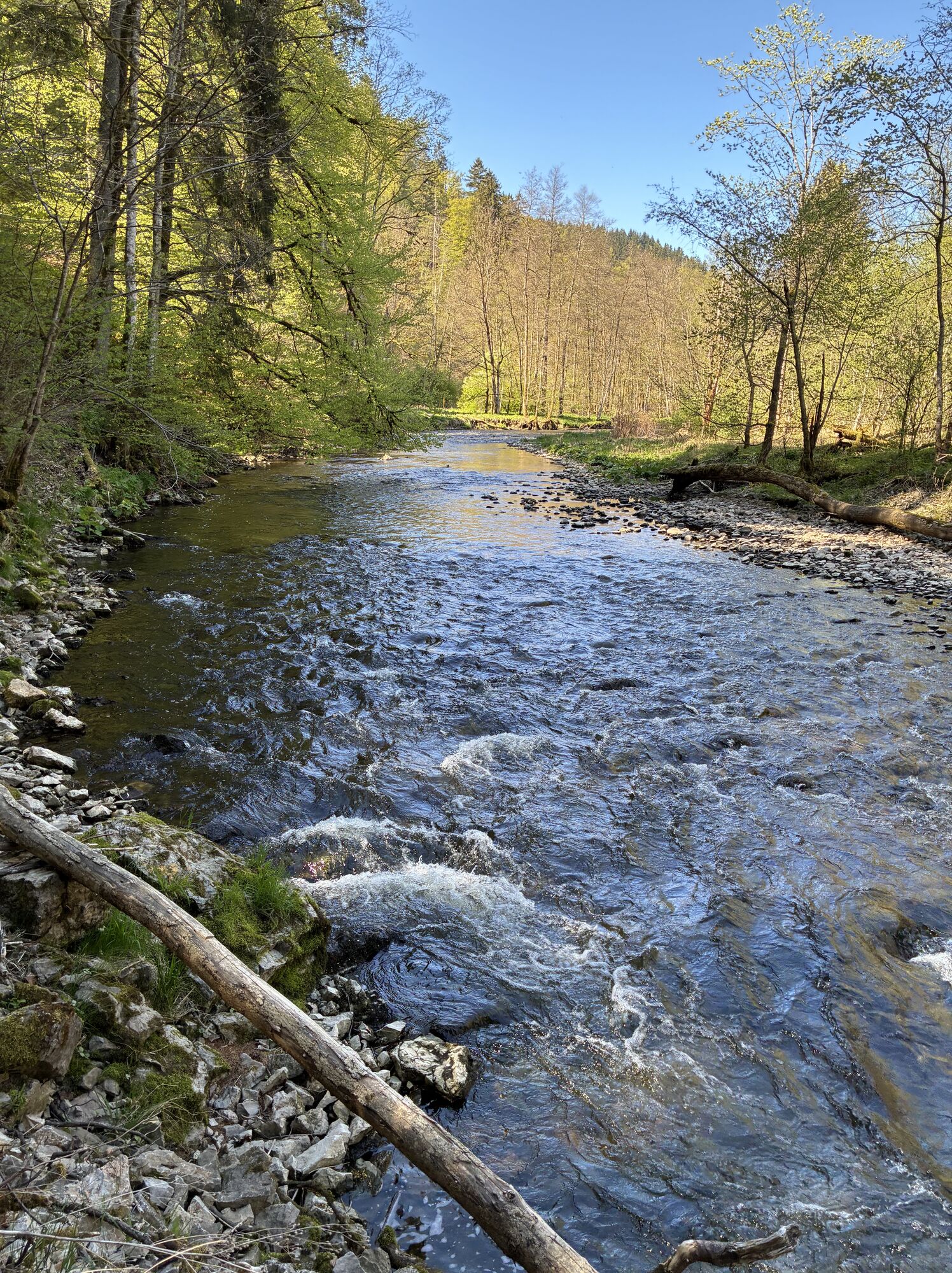
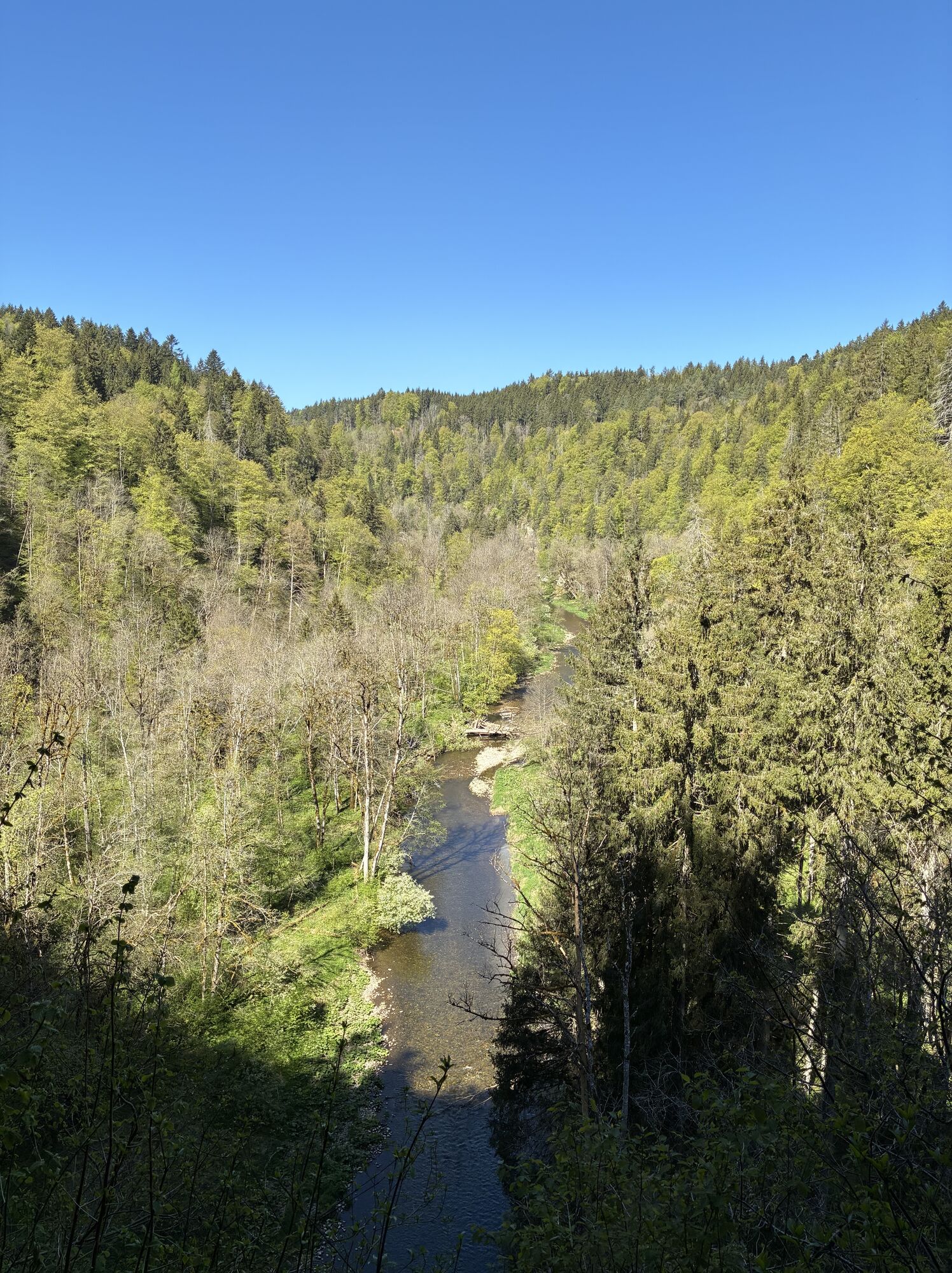
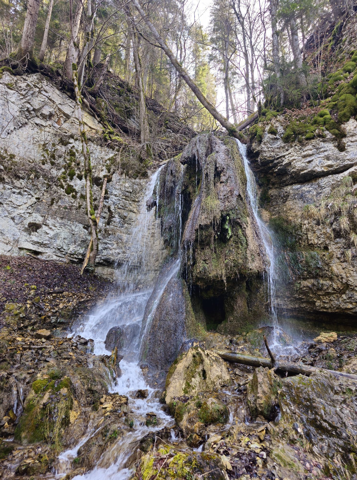
The Wutach Gorge offers an unforgettable walking experience for young and old. It is located in the heart of Germany's largest nature park - the Southern Black Forest Nature Park. The Wutach Gorge is not called Germany's largest gorge for nothing. As you walk through the 60 to 170 metre deep gorge, you will pass rushing waterfalls, rugged valleys, adventurous wild rivers and a diverse flora and fauna.

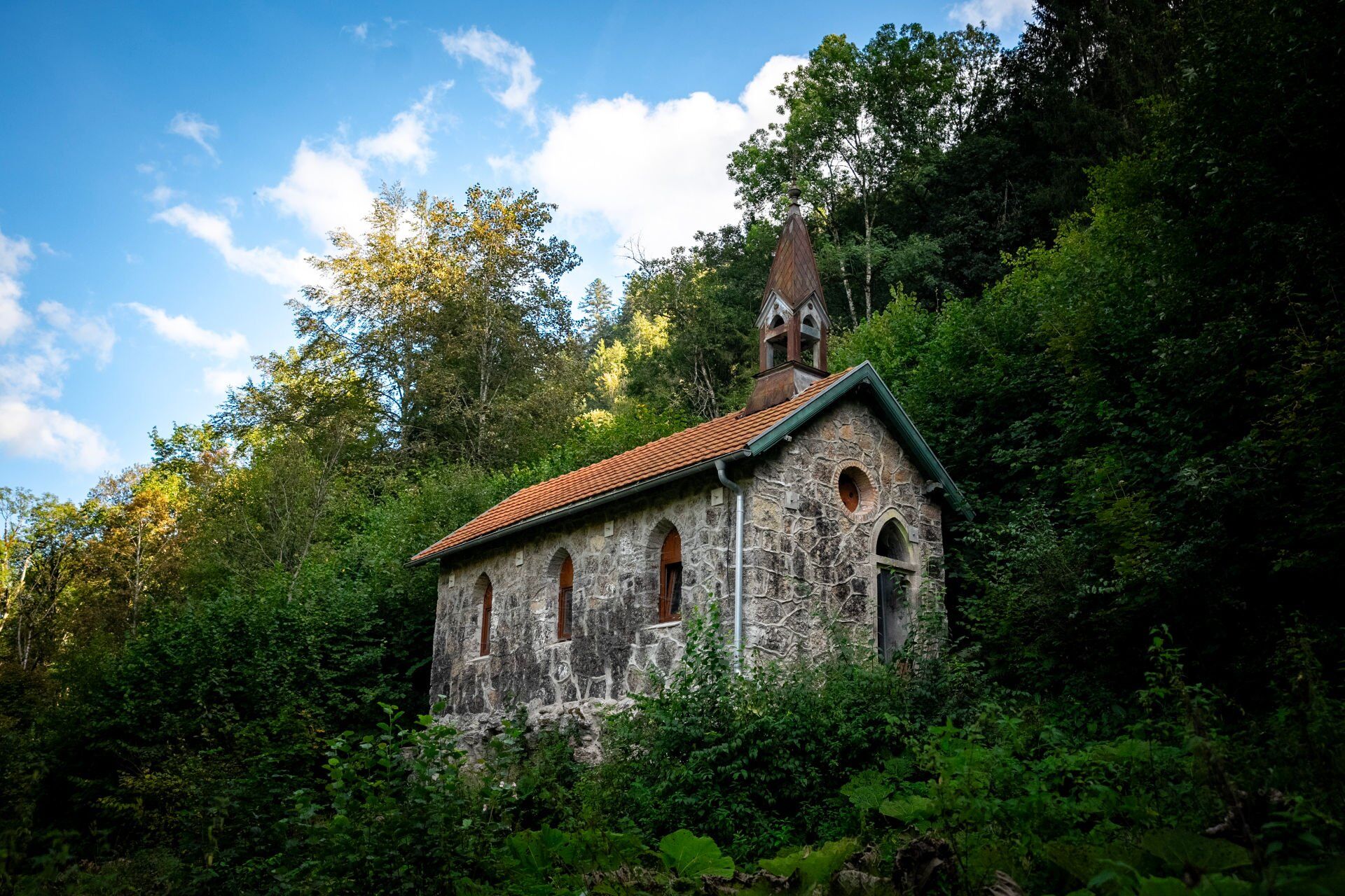
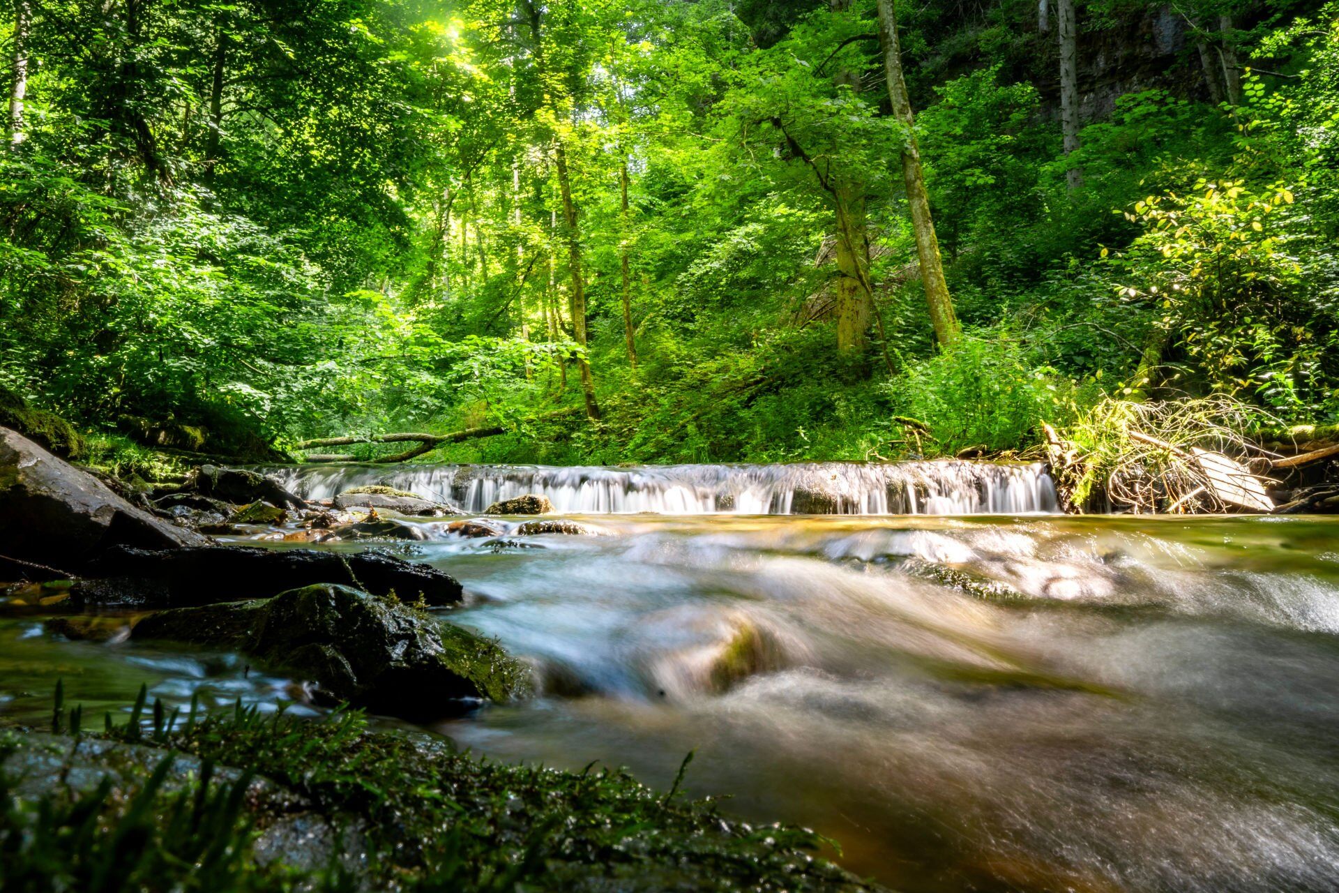
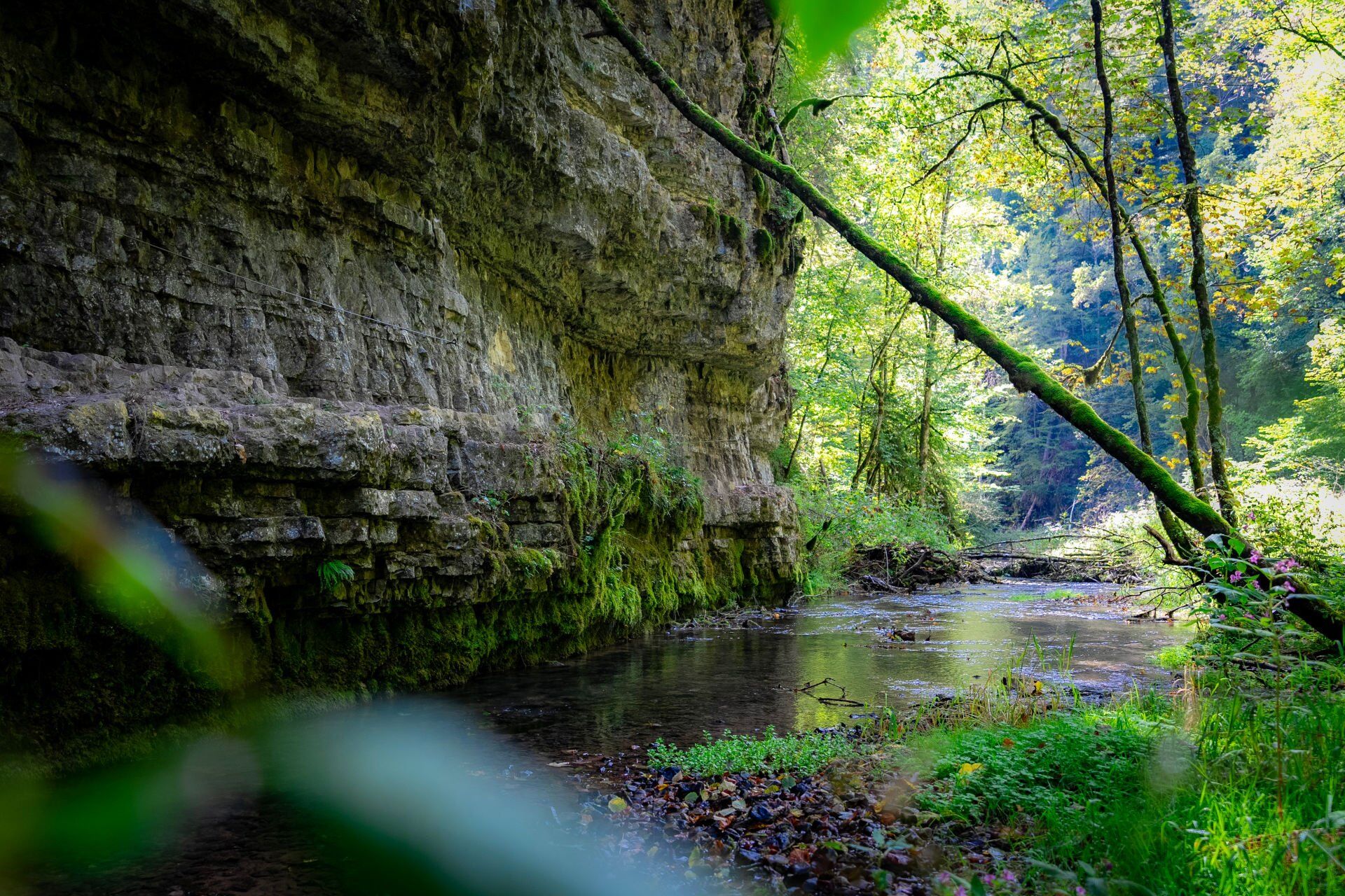
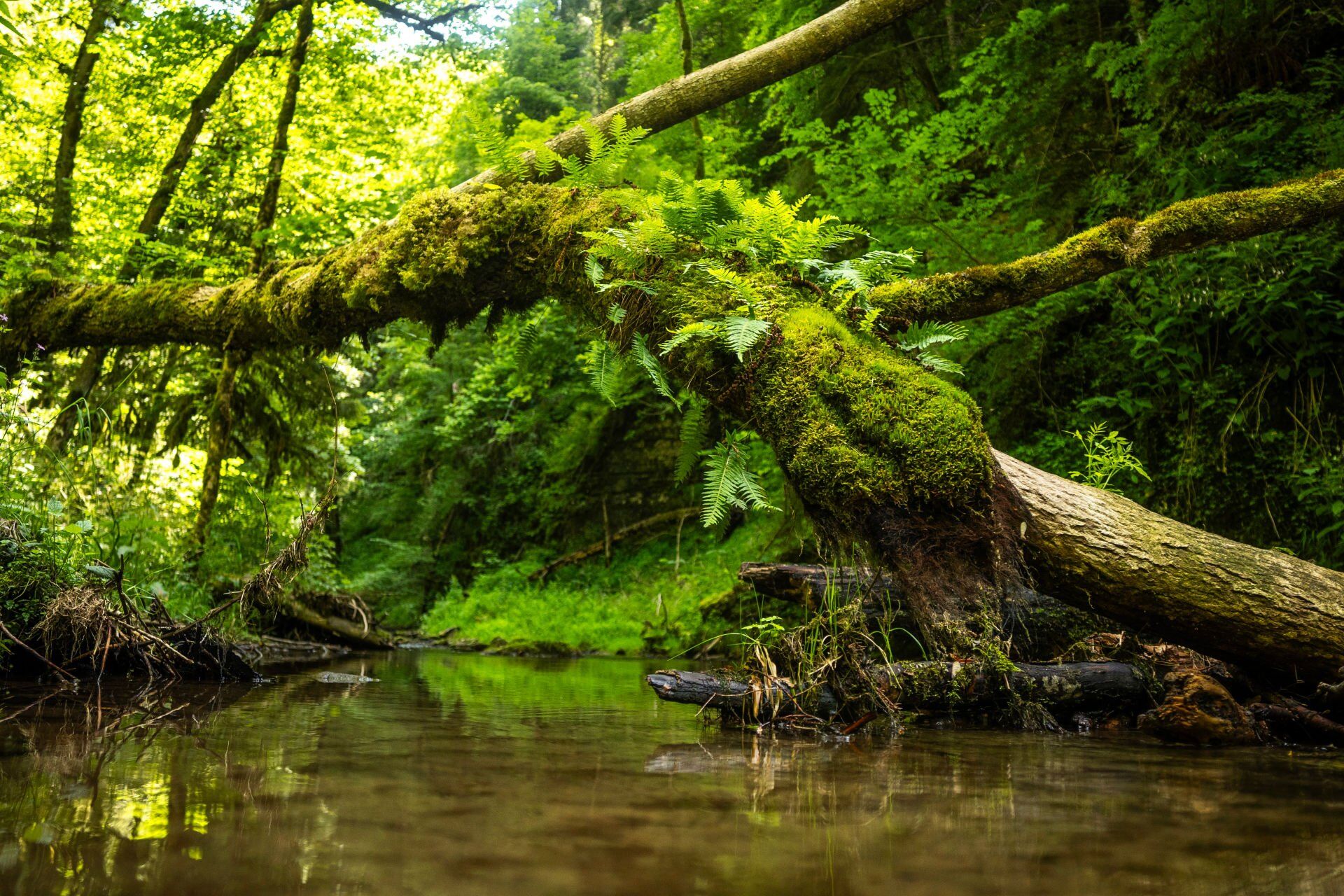

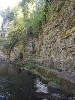
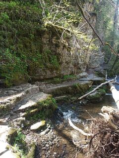
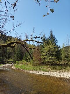
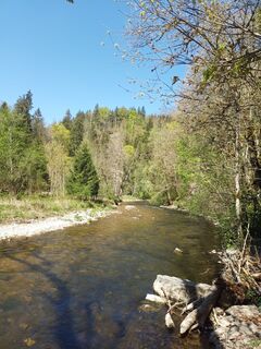
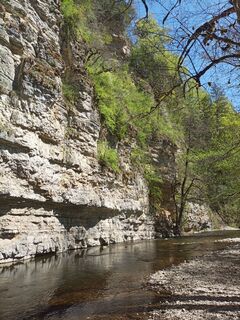
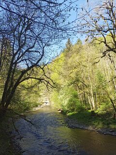
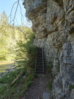
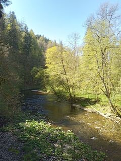
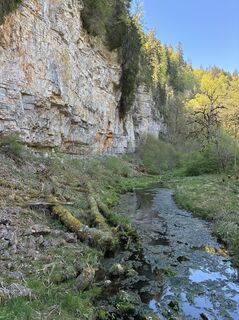
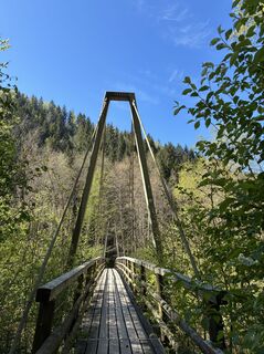
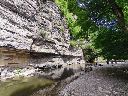
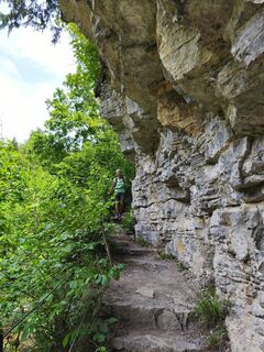
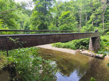
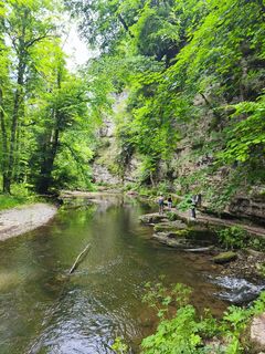
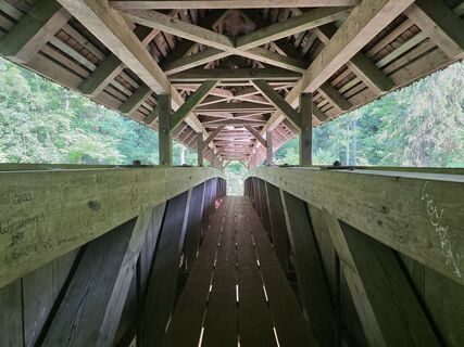
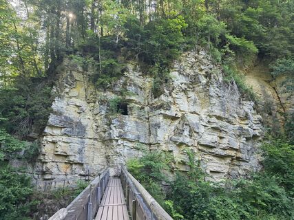
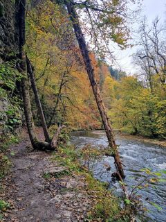
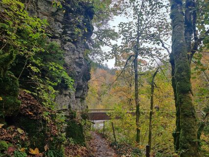
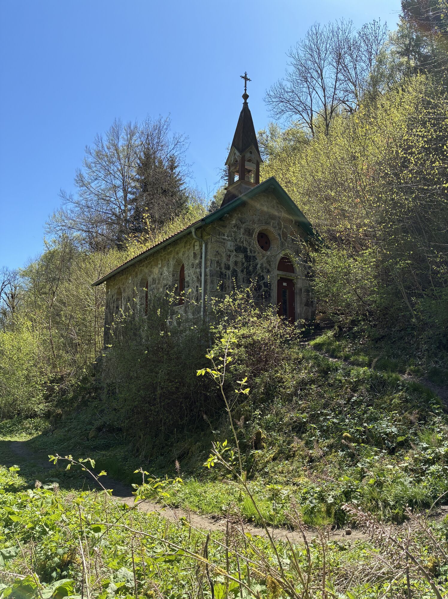
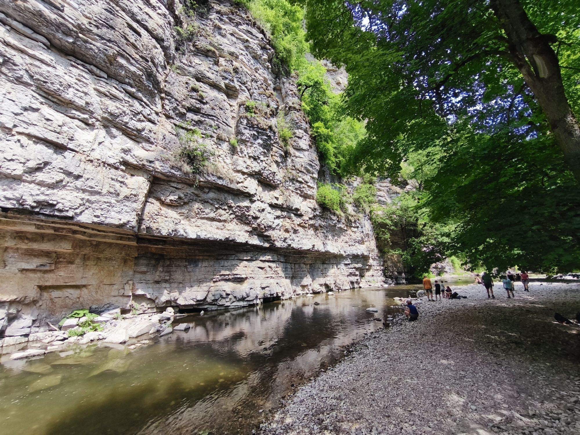
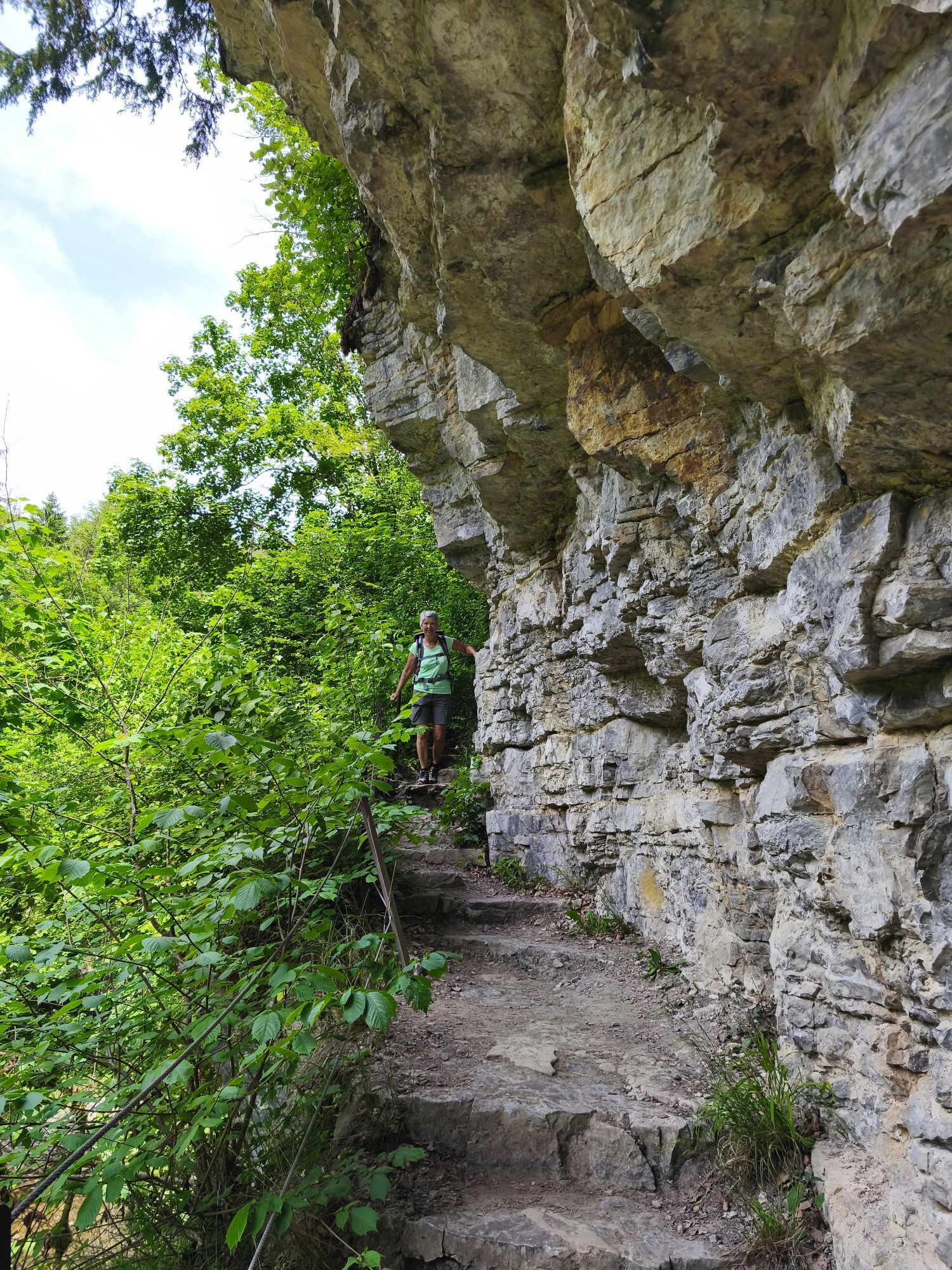
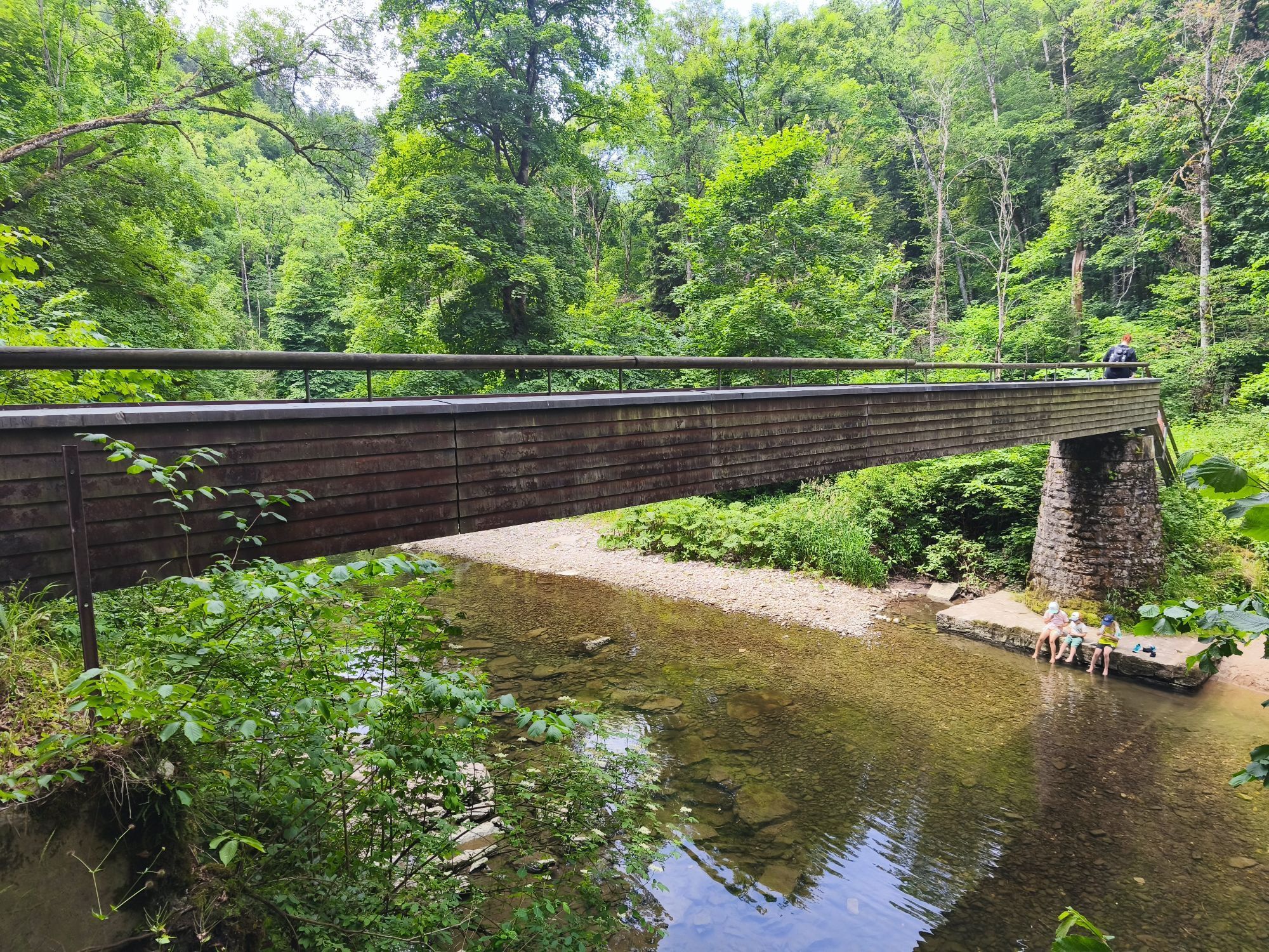
There are many ways to explore the Wutach Gorge and its wild and romantic side valleys from Löffingen and its surrounding districts. This trail runs along the royal stage of the Schluchtensteig long-distance hiking trail. Walk upstream from Wutachmühle mill and marvel at the steep forest and rock walls in the narrow valley. In some places there is only a narrow ledge between the vertical rock face and the raging river. You leave the Kanadiersteg, a beautiful covered wooden bridge, on your right and continue towards Bachheim. The tour takes you over the Rümmelesteg footbridge to the outlet of the Wutach, where the water gushes impressively out of the mountain almost three kilometres downstream. Walk through impressive rock galleries to the former spa town of Bad Boll. From here, follow the signs to Boll until you reach your destination, the Boll hiking car park.
Áno
Sturdy footwear and rucksack provisions, surefootedness and a head for heights are essential.
The gorges are divided into different rescue sectors, all of which are signposted. In the event of an emergency, this will help the mountain rescue services to find you more quickly and easily. Please always pay attention to which sector you are in.
As mobile phone reception is not always good in the gorges, you may have to walk out of the gorge or further into the gorge to contact the mountain rescue service.
Please follow the recommended route! Latest route information at www.wutachschlucht.de
The Wutach Gorge is not suitable for pushchairs, but can be walked with children who are sure-footed and do not suffer from vertigo.
The trail is suitable for dogs. Due to the steps and narrow paths, please keep your dog on a lead and be aware of other walkers.
The paths are usually very wet and slippery, so be careful on the narrow paths.
Please follow the signs on the trail. Accurate and detailed information on signposting and the trail system can be found on our website. In case of emergency, call 112.
Die Wutachschlucht entdecken mit Mehrwert! Unsere Wander- und Gästeführer:innen kennen den Hochschwarzwald wie ihre Westentasche und zeigen dir die landschaftlichen Highlights, bringen dir Kultur und Geschichte näher und wissen alles über Flora und Fauna in den bekannten Naturschutzgebieten. Entdecke unsere geführte Touren.
Die Märzenbecherblüte in der Schlucht ist ein botanisches Highlight!


Webové kamery z prehliadky
Získajte prehľad
Vždy naživo na mieste s viac ako 9 500 webovými kamerami. bergfex Ako používateľ Pro si teraz môžete pozrieť príslušné webové kamery pre mnohé zájazdy v aplikácii zájazdy z. Môžete si tak priamo prezerať aktuálne podmienky.

Obľúbené výlety v okolí
-
4,7
Wutachschlucht Rundwanderung im Süd Schwarzwald
strednáTuristika 9,76 km -
5,0
Premium Hiking Trail - 3-Schluchten Tour
strednáTematická trasa 9,62 km -
5,0
Wutachschlucht+Lotenbachklamm
svetloTuristika 10,0 km -
4,3
Premium Hiking Trail - Rötenbach Gorge
strednáTematická trasa 10,9 km -
3,0
From "Schluchsee" to "Grafenhausen-Rothaus"
strednáTuristika 14,5 km -
4,3
Wutach, Deutschland
strednáTuristika 14,6 km -
4,5
SchweizMobil 593: Nordspitze Panoramaweg
strednáTuristika 13,7 km -
"Bähnle"- cycle path
svetloCyklistika 27,0 km -
"Thomas Schäuble" trail in "Rothaus"
strednáTuristika 6,13 km -
Rothauser Ländle tour
strednáTuristika 8,09 km

Turistika a stopovanie


Nenechajte si ujsť ponuky a inšpiráciu na ďalšiu dovolenku
Vaša e-mailová adresa bol pridaný do poštového zoznamu.





