







Aichelberg Dream Route

The start of the route is in Aichelberg at the sports field. From the heights around Aichelberg, the path leads far down into the Enz valley. The route through the enchanting Kälbertal to the Kälberquelle...
The start of the route is in Aichelberg at the sports field. From the heights around Aichelberg, the path leads far down into the Enz valley. The route through the enchanting Kälbertal to the Kälberquelle is a unique hiking pleasure. The reward for the ascent is a breathtaking panorama on the high plateau. With a view of the small village of Aichelberg, the descent begins into the small Enz valley towards the Kleinenzquelle. The water hut Neubachstüble invites you to take a break with its wonderful ambiance. Wonderfully soft paths and dense blueberry forests make the ascent back to Aichelberg very pleasant. A short stretch through the tranquil village and the starting point is reached again.
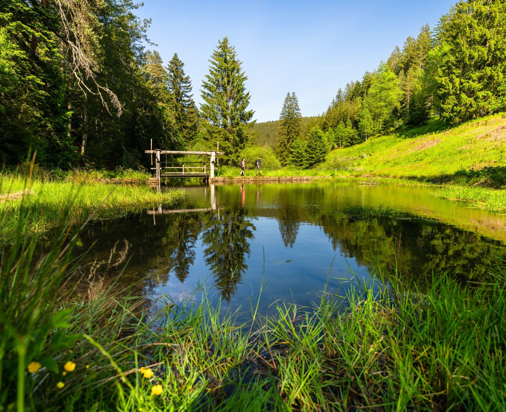
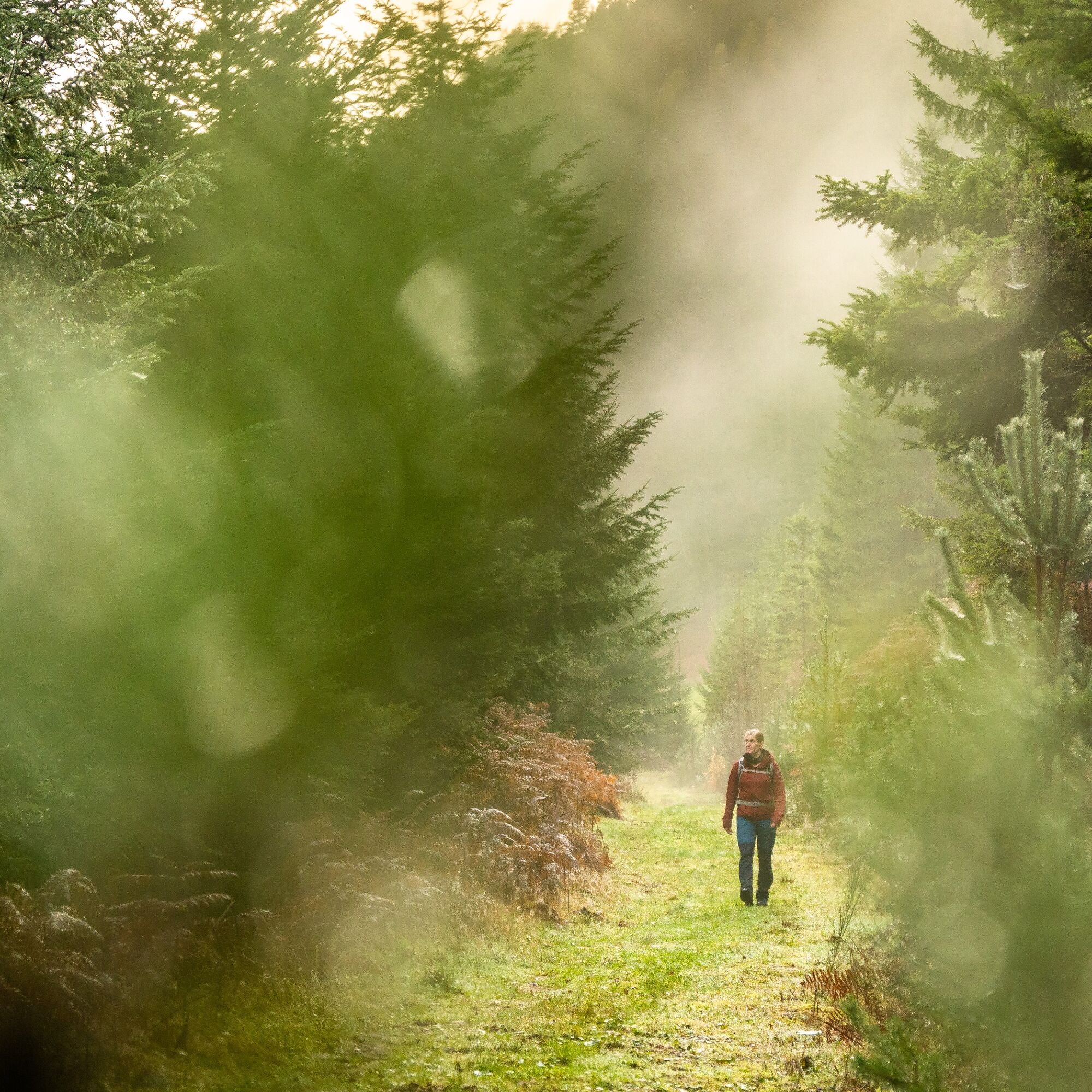
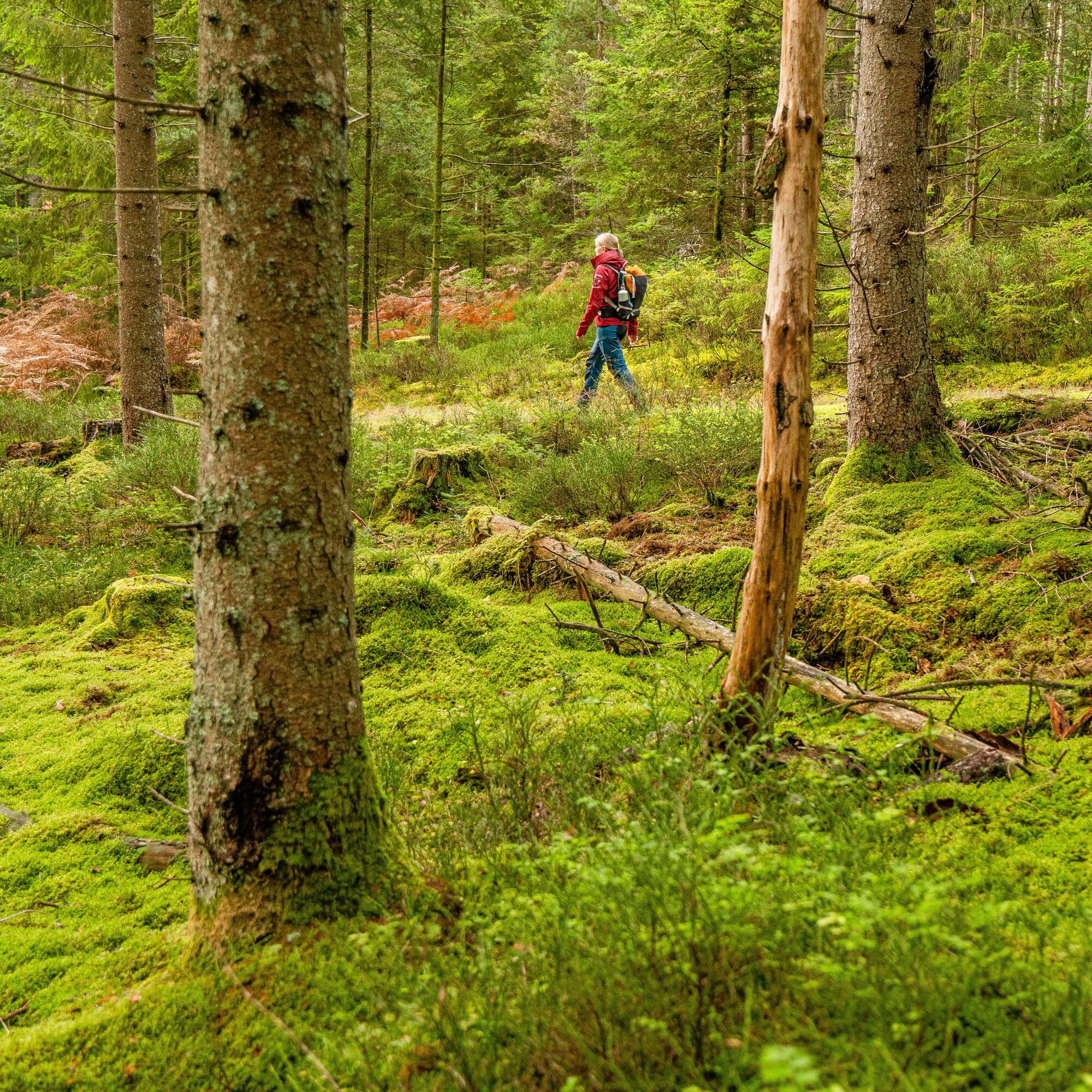
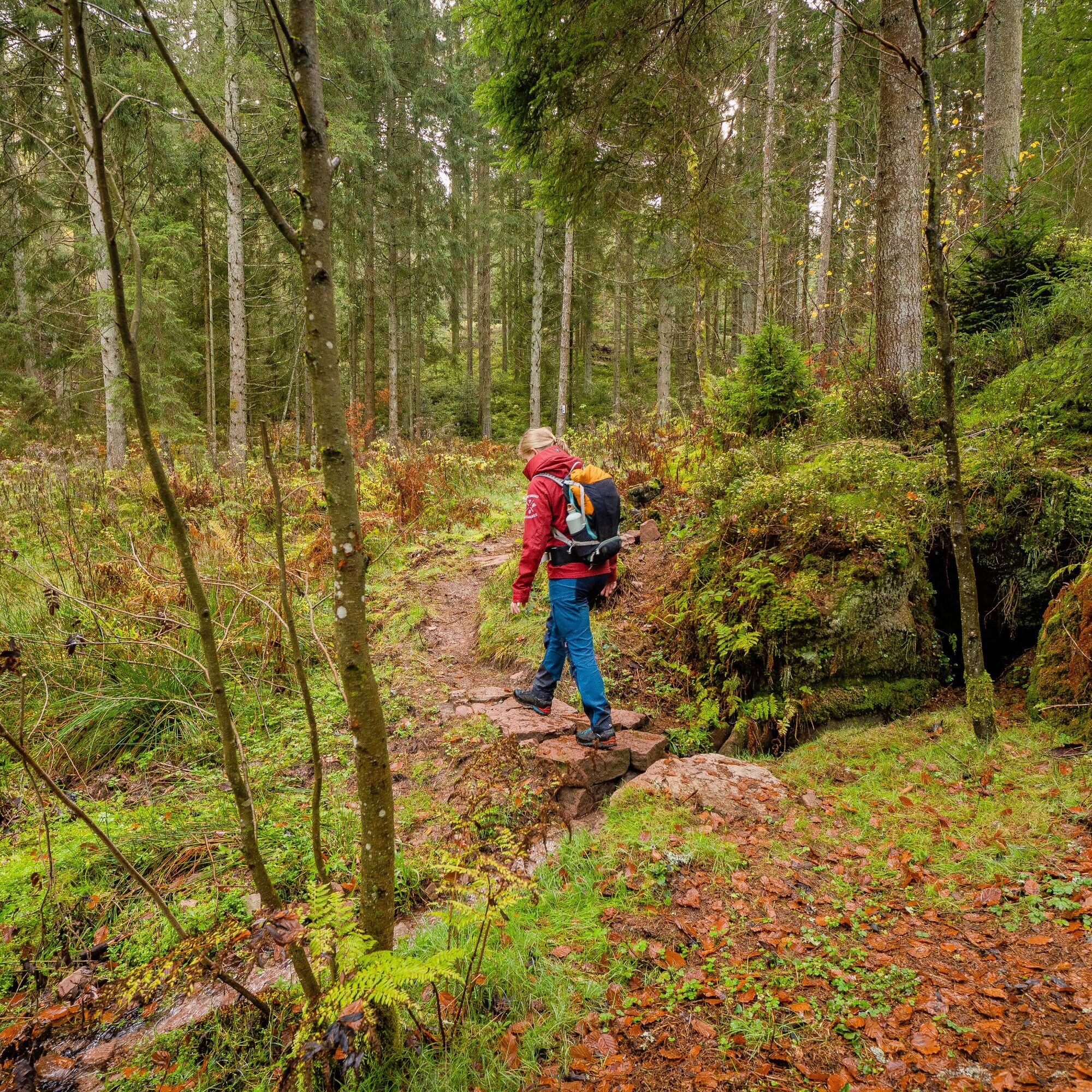
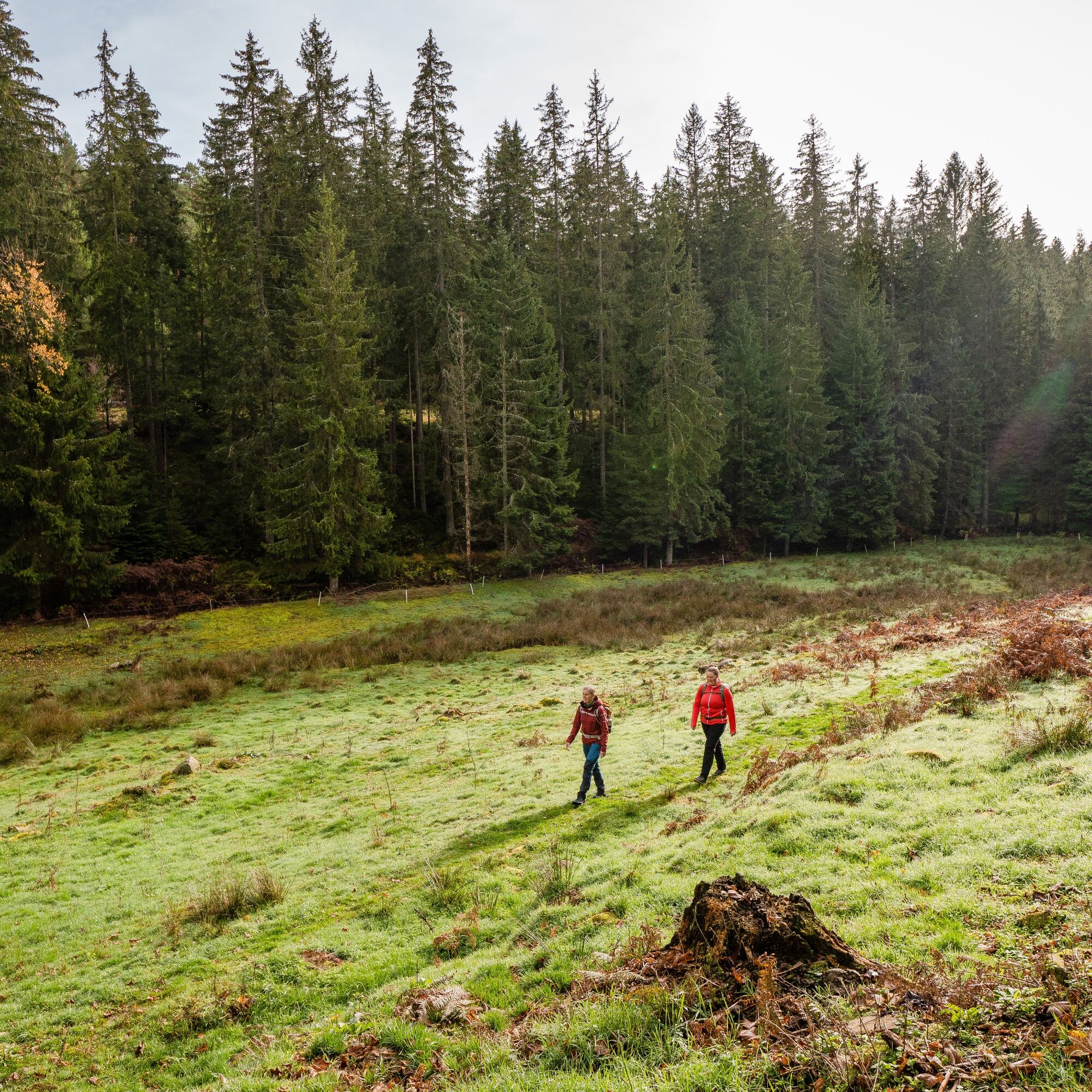
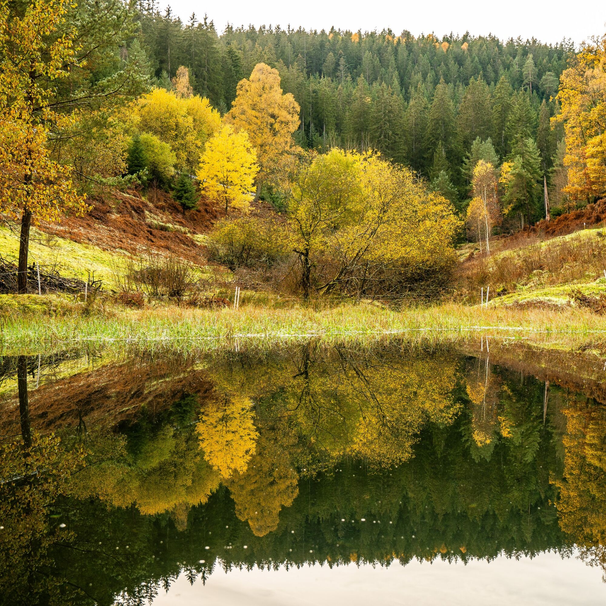
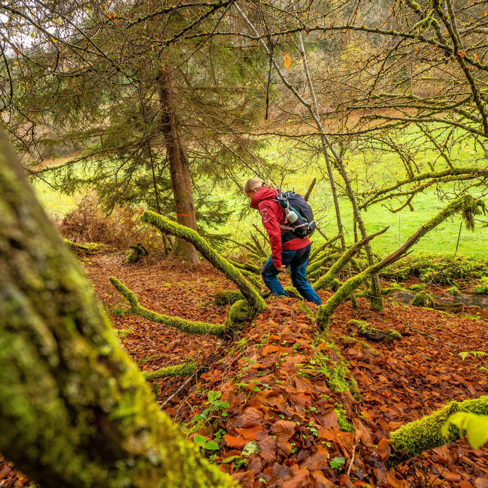
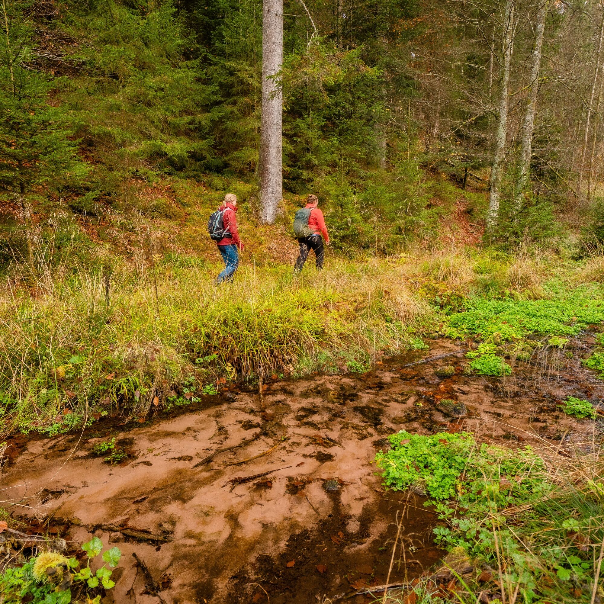
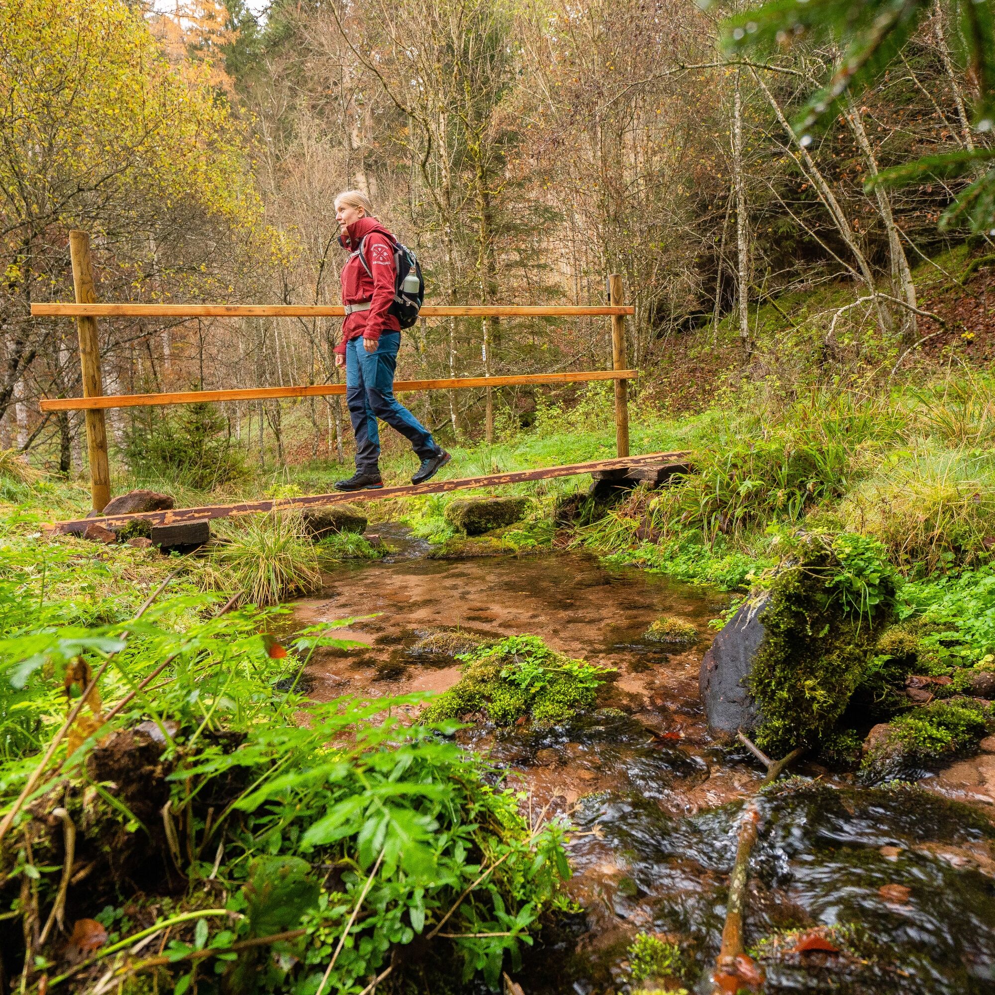
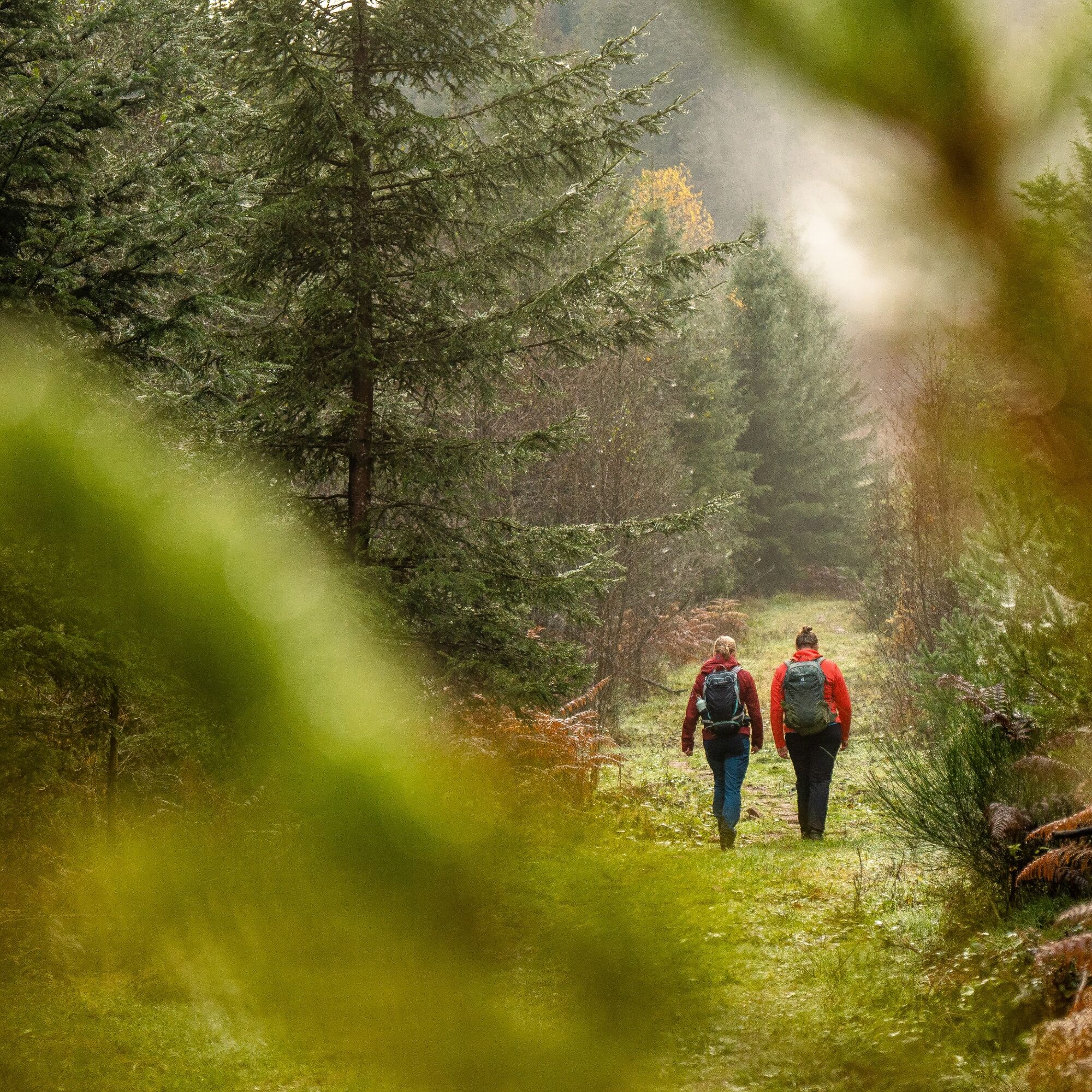
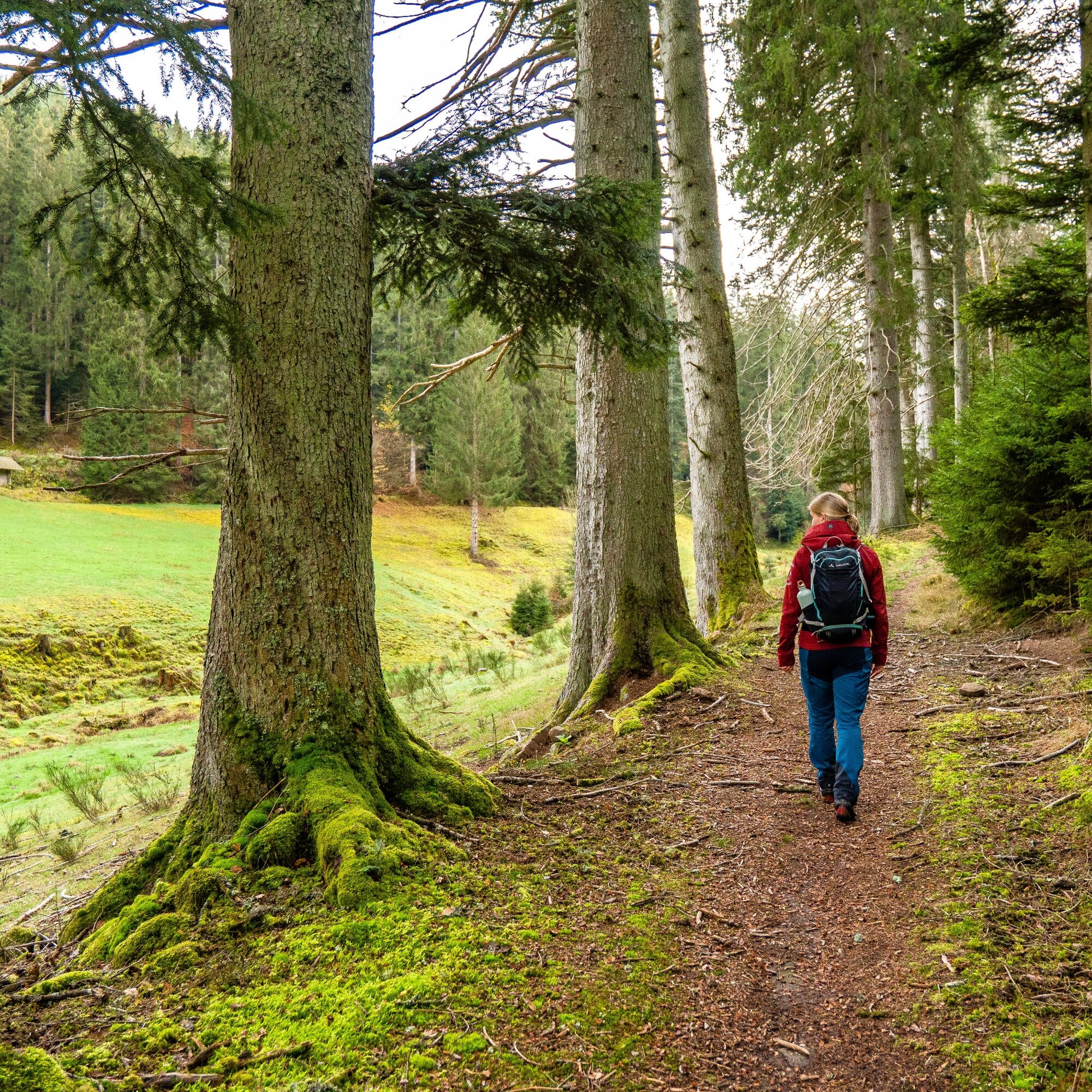
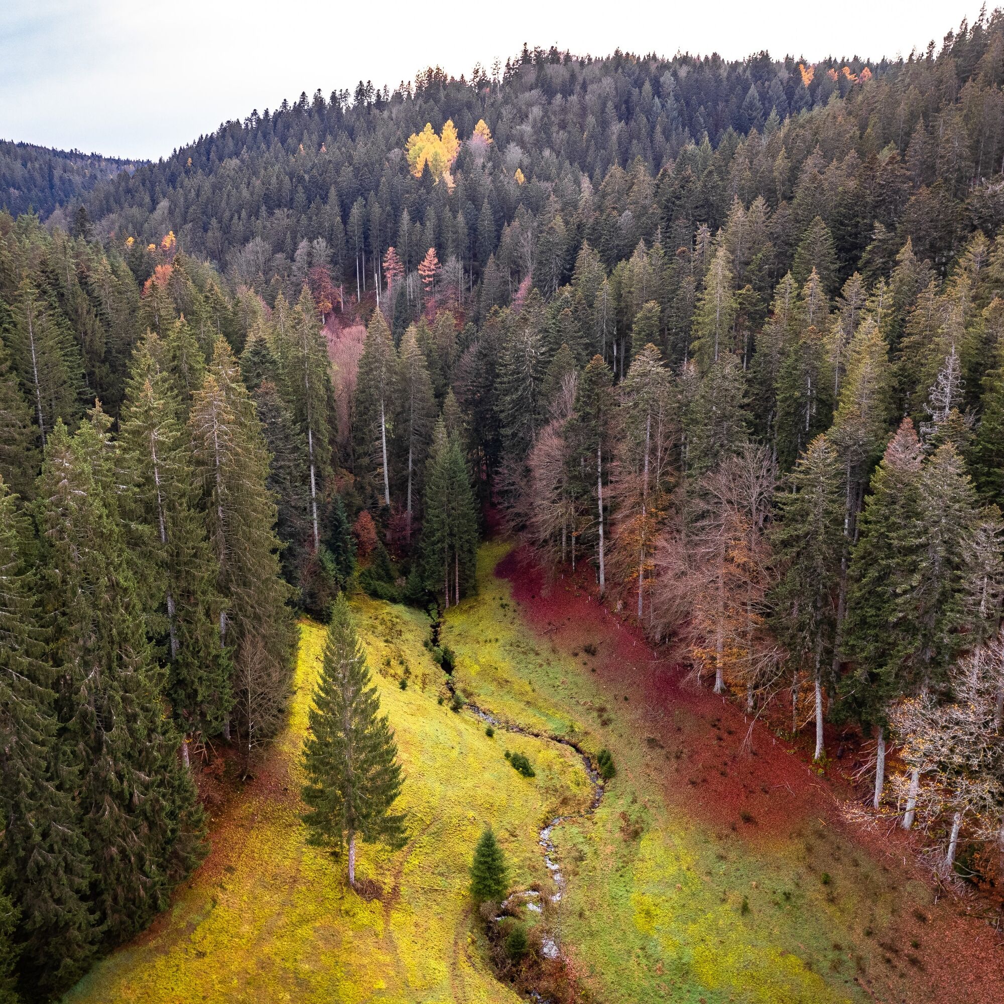
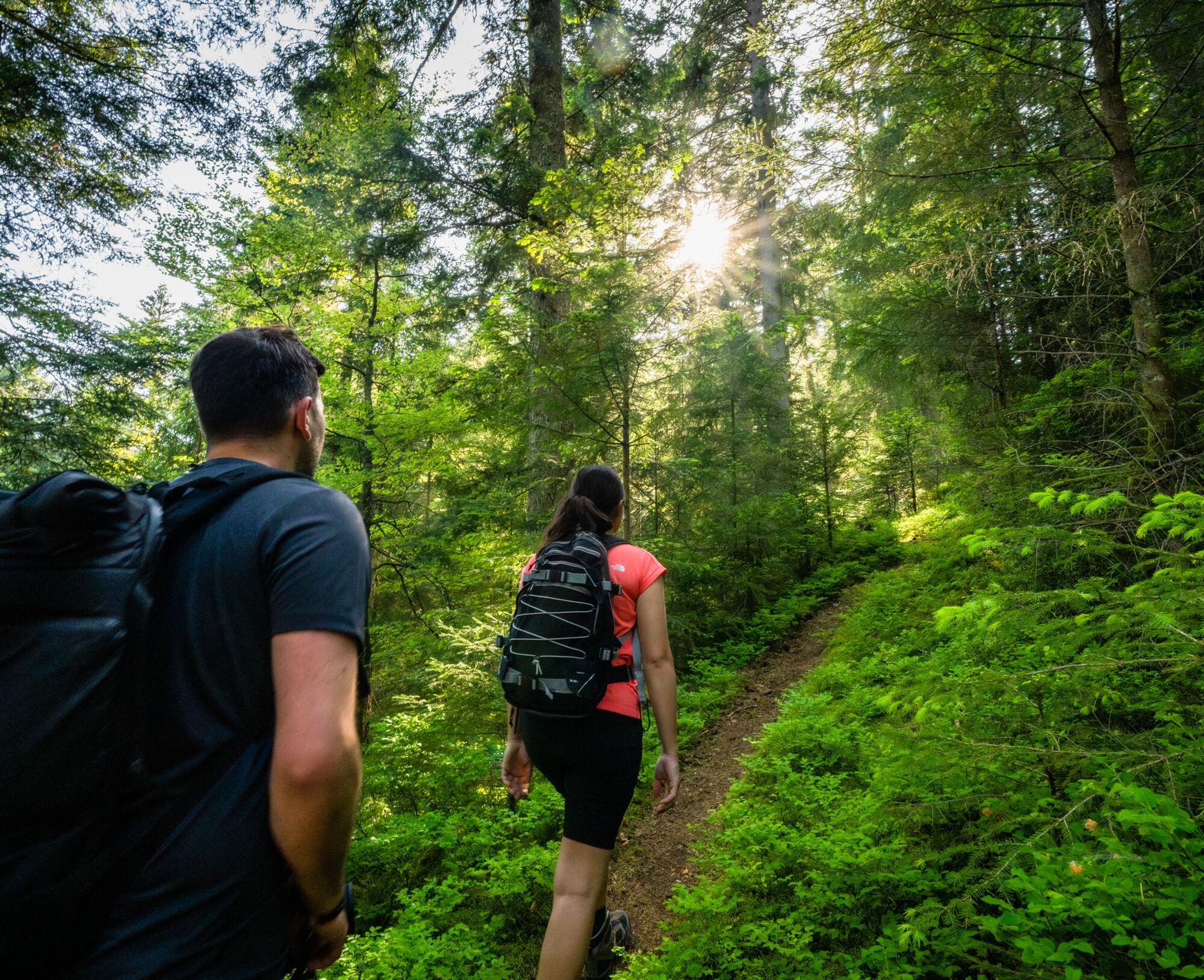
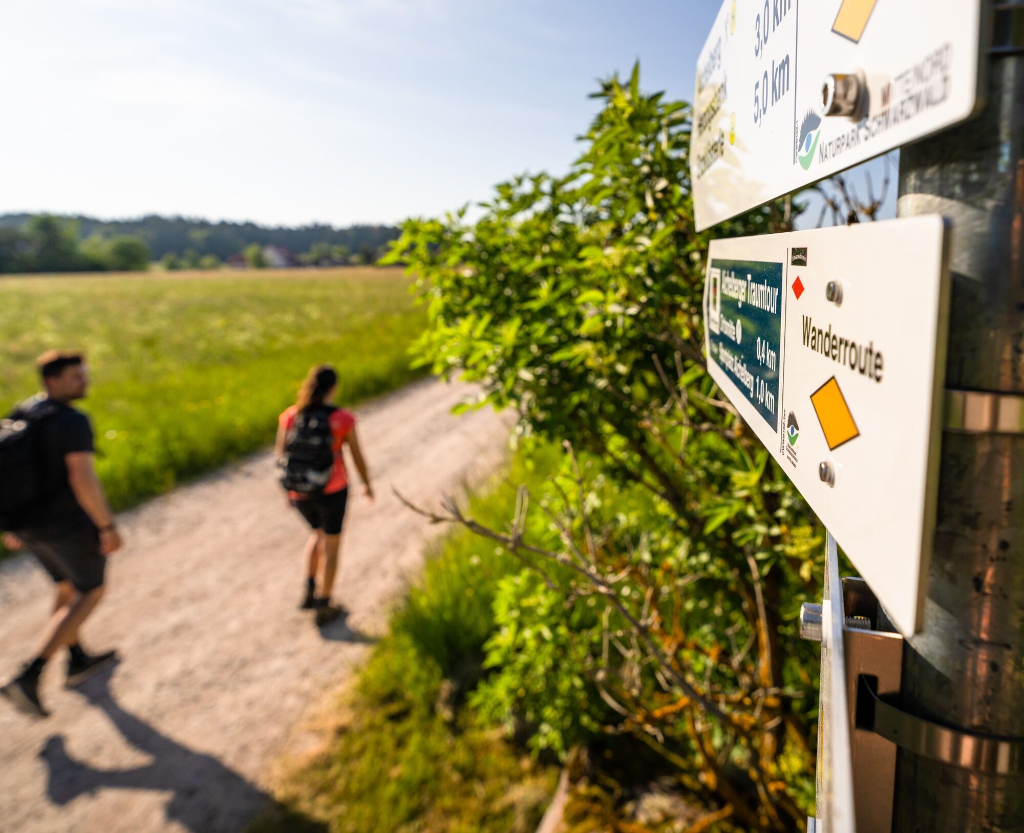
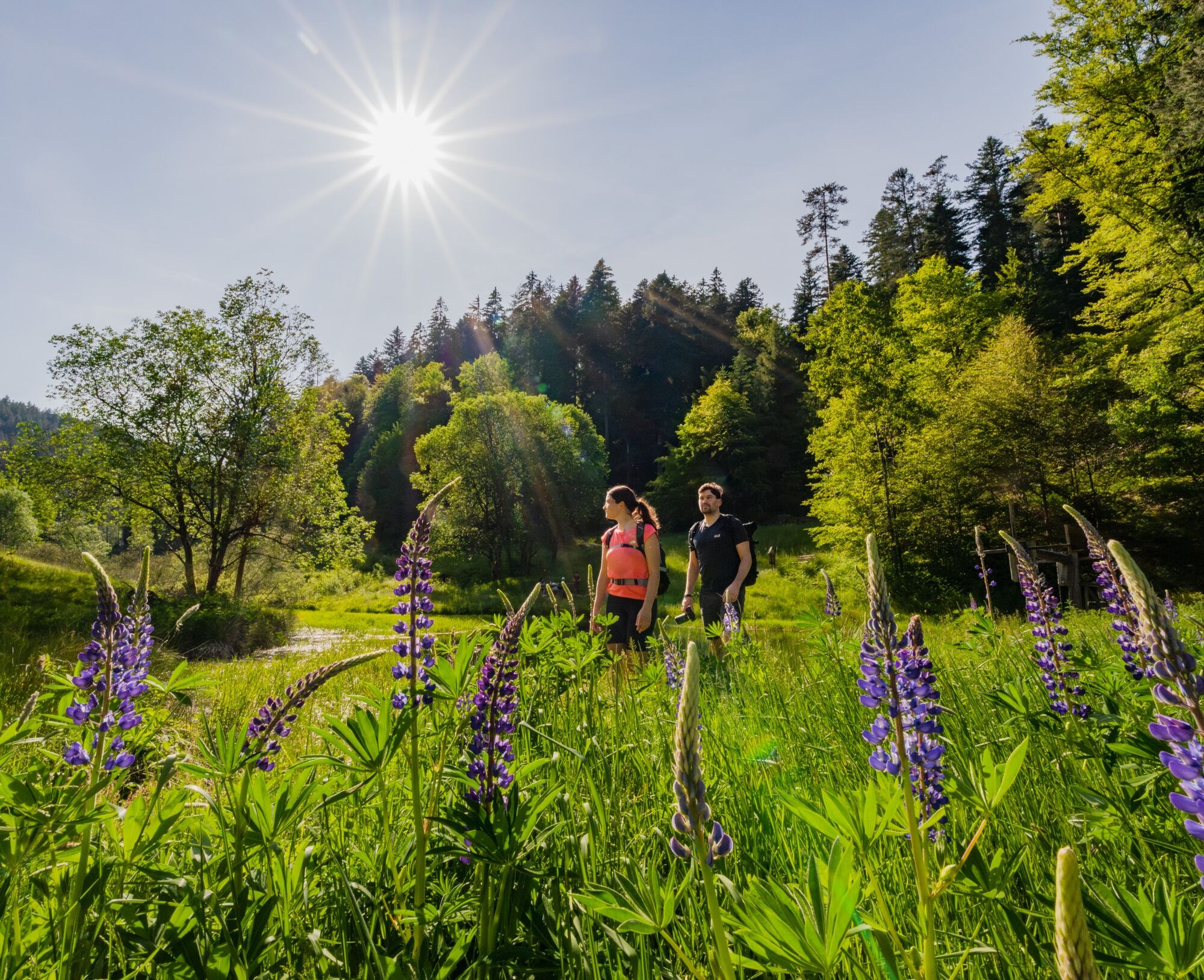

Unspoiled nature, wonderful peace and lots of variety are the special features of this quality trail.
We start at the sports field in Aichelberg and follow the Bollenhut sign and the yellow diamond to the location At the forest edge. There we turn left into Schulweg, where our hiking boots immediately experience the soft, pleasant ground of the wonderful path. Immediately afterwards, we have to cross a small road to continue on the path to the location New Fields.
After crossing the small road to Hünerberg, our eyes enjoy a beautiful meadow and a very distinctive log cabin at the forest edge. The pleasant forest path brings us to a sight from the beginnings of the Black Forest water supply, the water reservoir. It is definitely worth taking a look at the information boards here. Afterwards, it gets a bit adventurous, as the paths lead us right through the forest. Just always pay good attention to the markings. The path ends on a forest road.
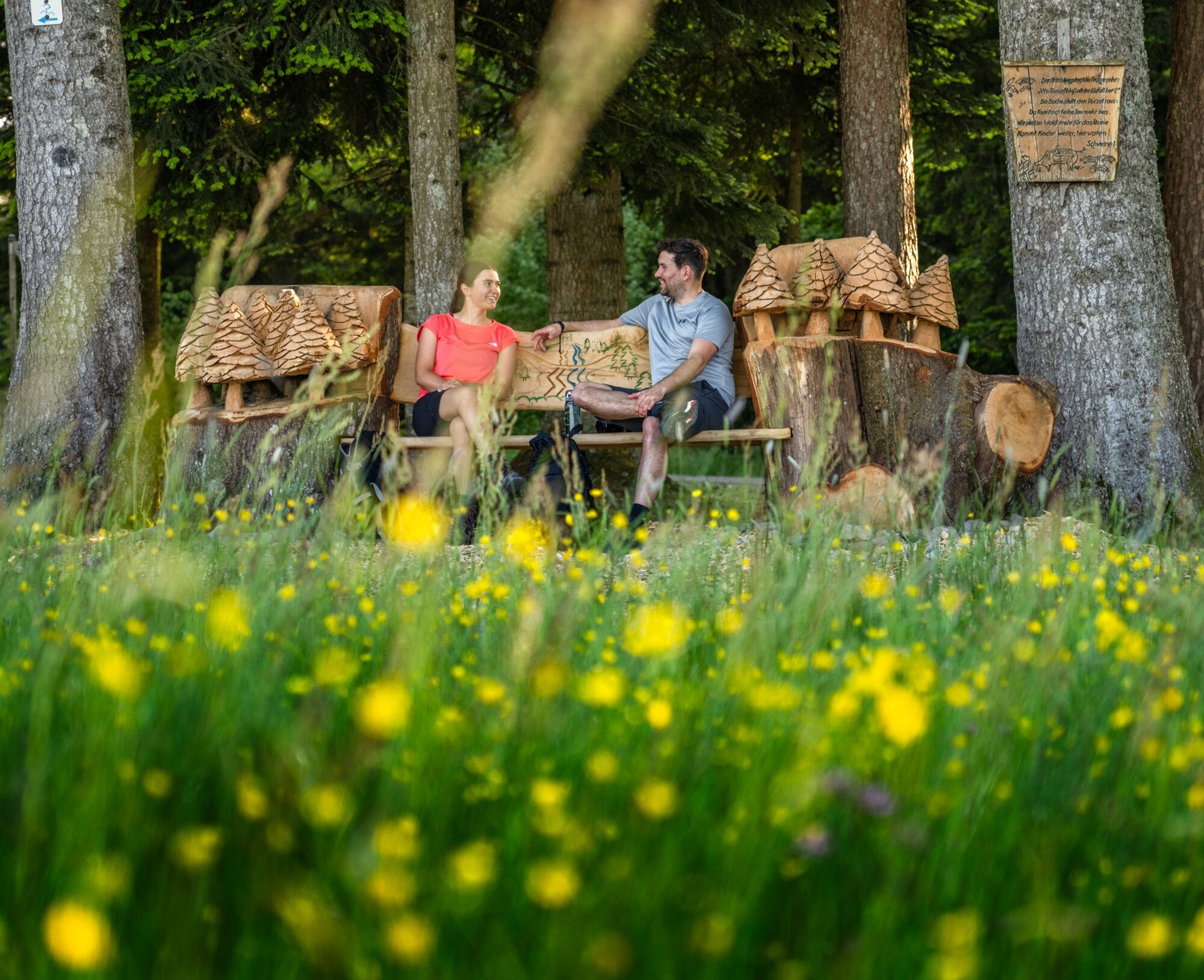
There at the signpost Wolfsbruck, we orient ourselves left towards Meistern, where the plain opens up and the village greets us. Here, the large dream bench and some other benches offer an opportunity for a little break. Opposite, the signpost Dreispitz shows us the direction into the Kälbertal. Natural paths make hiking a pleasure. Once more, we have to cross the road and then we are back in pure nature. Light pine forests repeatedly allow views into the Sprollenhaus lying in the valley.
We only hike briefly on a forest road until we reach the signpost Kälbersteige. It shows that we have to turn sharply right into a steeply descending hollow way and continue to follow the signage with the Bollenhut and the Black Forest Association's diamond. Here too, we already experience absolute peace. At the location Pump station, we should follow the recommended detour because here we can admire the pump station of the Black Forest water supply and learn on the boards about the grand achievement of the people in supplying the high-altitude towns with water.
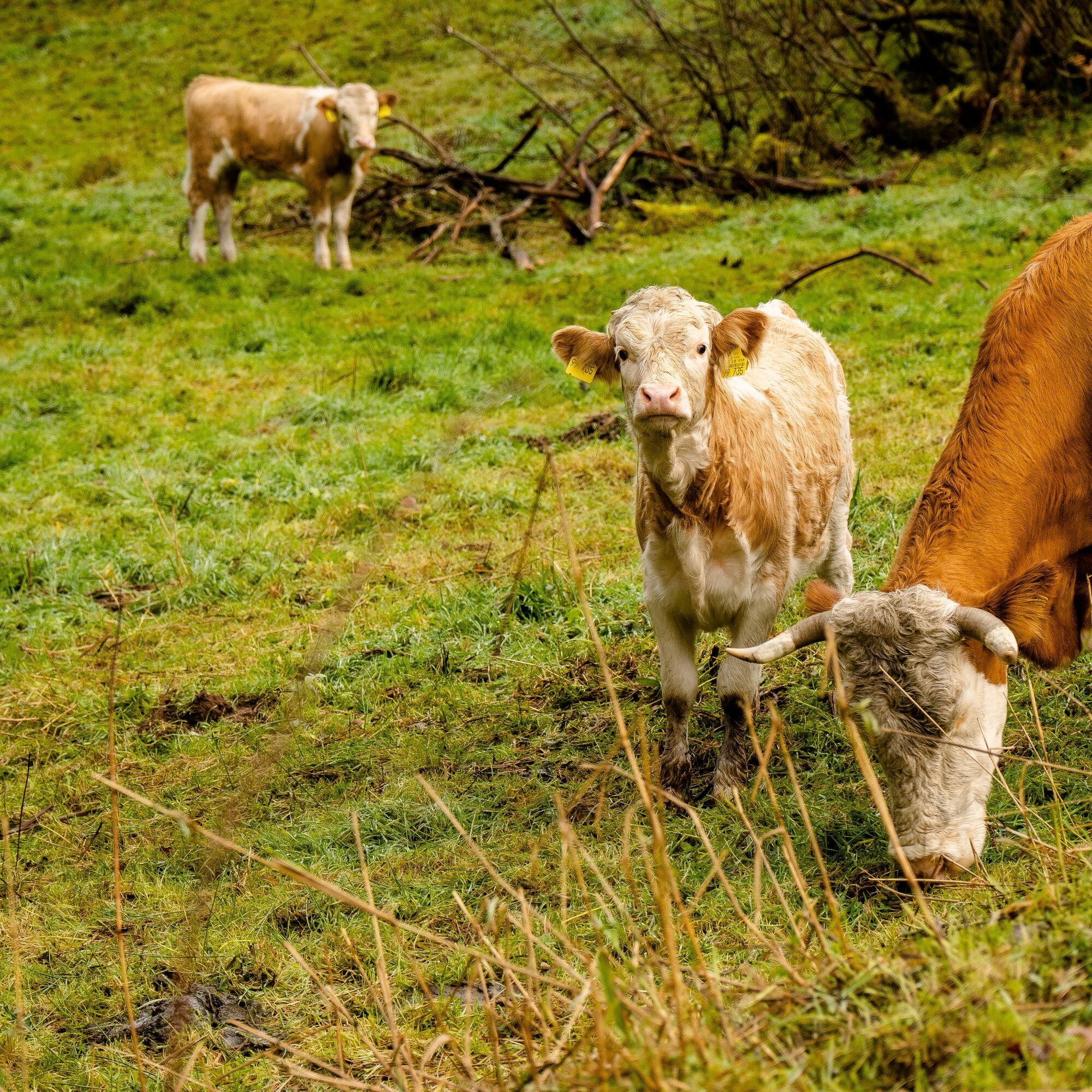
We walk back through the meadow and begin the highlight of the route, the Kälbertal. Pristine nature and always along the babbling Kälberbach allow our senses to wander and experience the uniqueness of nature. The forest opens up again and lush meadows delight our eyes. Sometimes cattle with their calves graze there, making everything even more idyllic. We cross the Kälberbach on a small bridge and now hike on the other side of the stream on wonderful, soft paths to the Kälberquelle.
Pure idyll. Now a break is more than deserved. The location Kälberbach now leads us to our next point, the Bone Shaker. It got its name from the time when people traveled on bumpy roads with carts and wagons, causing a lot of rattling and shaking of bones. After this steep ascent, we can first catch our breath on the level forest road to comfortably reach our next goal, the Pilot Hut.
We step out of the forest and a breathtaking panorama lies before us. In the foreground, the little church in Aichelberg with its crooked tower looks over to us, and in the distance, we can very well recognize the Swabian Alb. Anyone wanting to end the route here only has a short stretch back to the starting point, the parking lot at the sports field. Otherwise, it continues at the signpost location At the airfield into the forest, where again we walk on a wonderfully soft path through a mystical forest.
Coming onto a forest road, we turn right and walk a very short distance on the blue diamond to the signpost Eitele, where we then turn left again onto the yellow diamond. Now it goes straight ahead, but after a short time, watch out, because our path now goes along the forest edge to a large rest area, the Gottscheerbrunnen. Play equipment and benches invite you to a cozy rest. Afterwards, we go right past the shooting house, cross the street on the left and again follow our signage on soft paths. The next waypoint is called Hard edge, which clearly announces with the Kleinenzquelle our next goal.
Arriving in the valley at the signpost Kleinenzquelle, it goes left and soon after right down a path that will bring us to the spring. Deep from the mountain comes the water, which then gurgles down the valley. A wonderful place that lets us feel the depth of nature. We climb over stones further down the valley to then climb back up onto a forest road. After some time, the markings guide us down a steep path into the valley and we enjoy this dreamy valley on meadow paths, at the end of which the Neubachstüble awaits us, a cultural monument from the rafting era. Information boards revive the past of the people from the region. Benches and tables invite to another break here before we muster up for the last ascent.
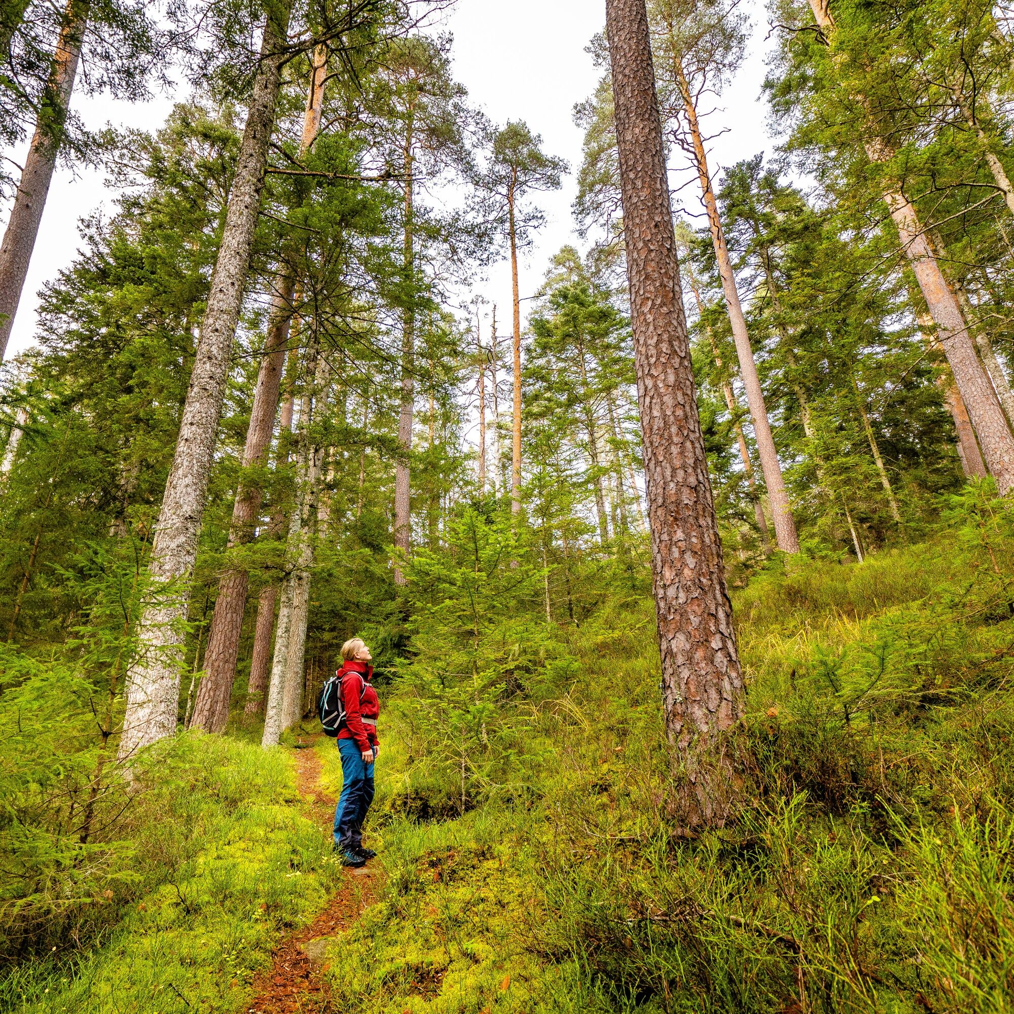
Here we pay close attention to the signage, because just after the water hut, the path goes off at a sharp angle to the left and immediately after again to the right, up steep, ancient sandstone steps into the forest. Soft ground, blueberry bushes, and lush green moss make the climb feel very pleasant. Soon the forest thins, and the high plateau comes into view. At the location Harzer Trees, we should look around a bit in the forest because some large pine trees still show traces of the old forest profession, the Harzer. Now it goes almost directly towards Aichelberg. We pass the location Hunting Path and come across the former inn Grüner Baum. We walk a few more meters through this tranquil village following our signage and shortly reach our starting point again.
Good hiking shoes, provisions for the way, weather-appropriate clothing and, if needed, hiking poles are recommended.
The high-altitude town of Aichelberg can be reached via the Kleine Enz valley via B294 coming from Freudenstadt or Pforzheim, or via the large Enz valley from Bad Wildbad or Enzklösterle via the L351.
The starting point of the route is Aichelberg (Kr Calw) kindergarten.
Line 420 from Bad Wildbad and Aichelberg (at certain times a demand-responsive bus that only runs on request and with prior booking)
Additionally, there is the Demand-Responsive Bus Line BWI1, which operates on demand and with prior booking between Bad Wildbad, the high-altitude towns including Aichelberg, and Calmbach.
If you want to start in the valley, you can get off at the Bad Wildbad Waldluft stop, where the Bus X78 runs between Calmbach, Bad Wildbad, and Freudenstadt.
All information about the lines can be found here
Parking spaces are available at the sports field in Aichelberg.
Be sure to walk the route in the recommended direction, as this provides the greatest enjoyment.

Obľúbené výlety v okolí
-
4,5
Circular route via spring nature trail and Wurstberg
svetloTuristika 8,08 km -
4,8
Eyach round
strednáTuristika 7,84 km -
4,9
Der Teinacher (Premiumweg & Genießerpfad)
strednáTuristika 12,0 km -
4,2
Kaltenbronn Circular Route No. 1 - Wildsee Moor Loop
svetloTuristika 8,30 km -
4,7
premium hiking trail Enzquellenpfad
strednáTuristika 19,9 km -
2,7
Genießerpfad zum Panoramastüble
Turistika 10,6 km -
3,0
Dobel High-Altitude Route
strednáTuristika 11,8 km -
4,3
Nature experience tour Kaltenbronn
strednáTuristika 14,2 km -
4,8
Weisenbacher Steig (Rechts der Murg)
strednáTuristika 17,6 km -
AugenBlick route Bad Herrenalb Schweizerkopf
strednáTuristika 15,5 km
Turistika a stopovanie


Nenechajte si ujsť ponuky a inšpiráciu na ďalšiu dovolenku
Vaša e-mailová adresa bol pridaný do poštového zoznamu.





