


Pure Premium
Fotografie našich používateľov
-

 © Ralf UmmingerVytvorené dňa 13.09.2025
 -
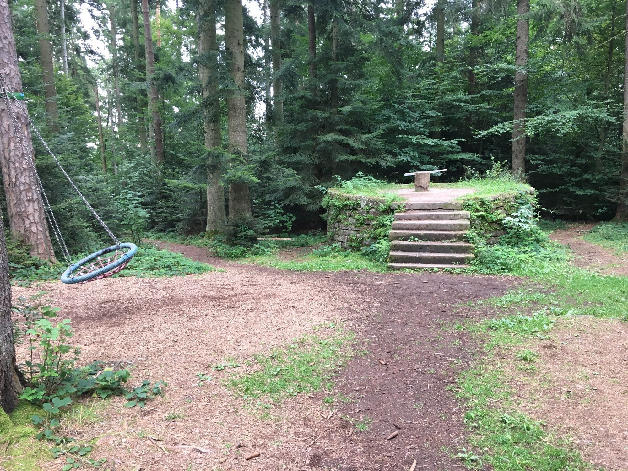
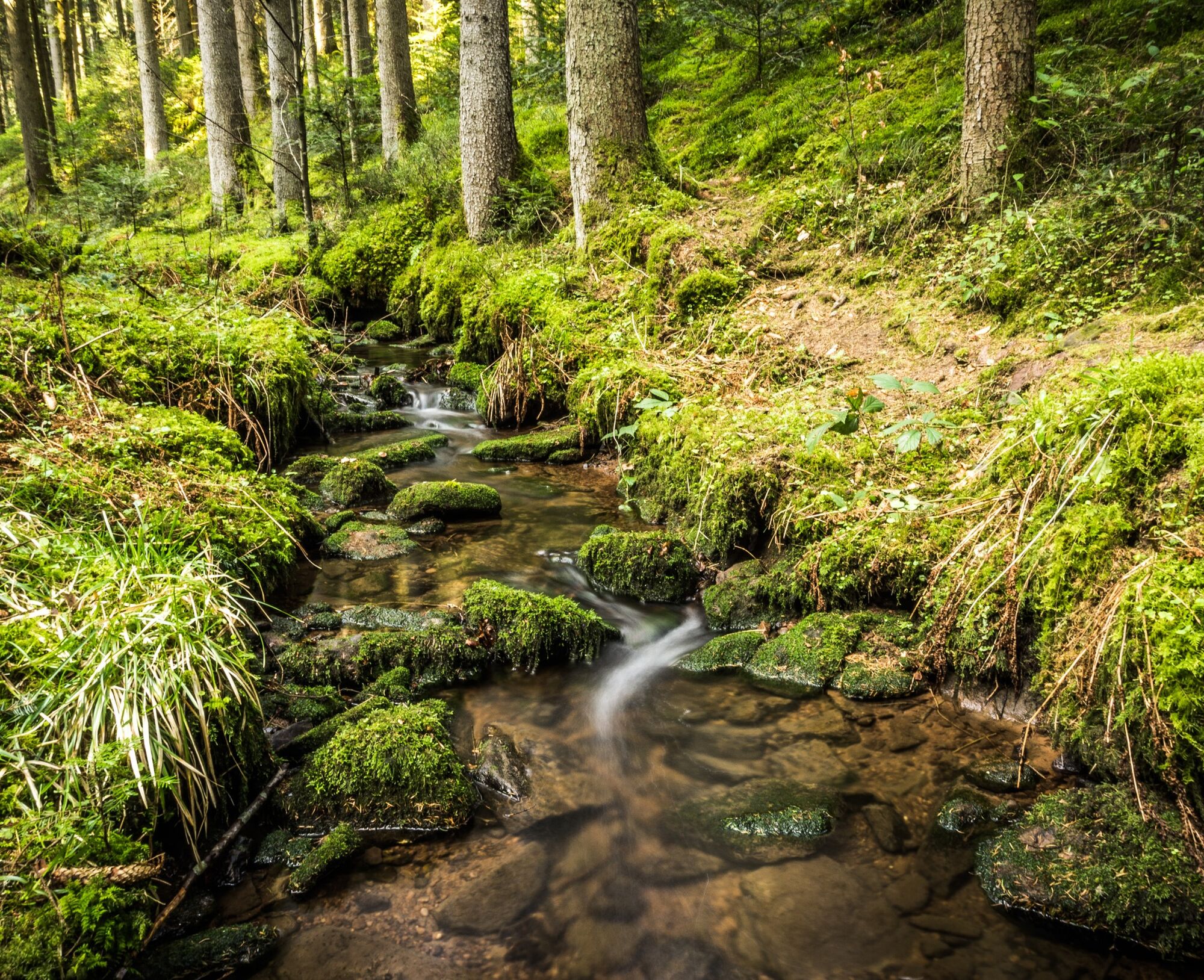
 © holgerwagVytvorené dňa 30.03.2025
 -
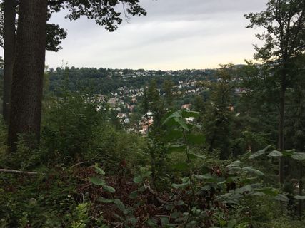
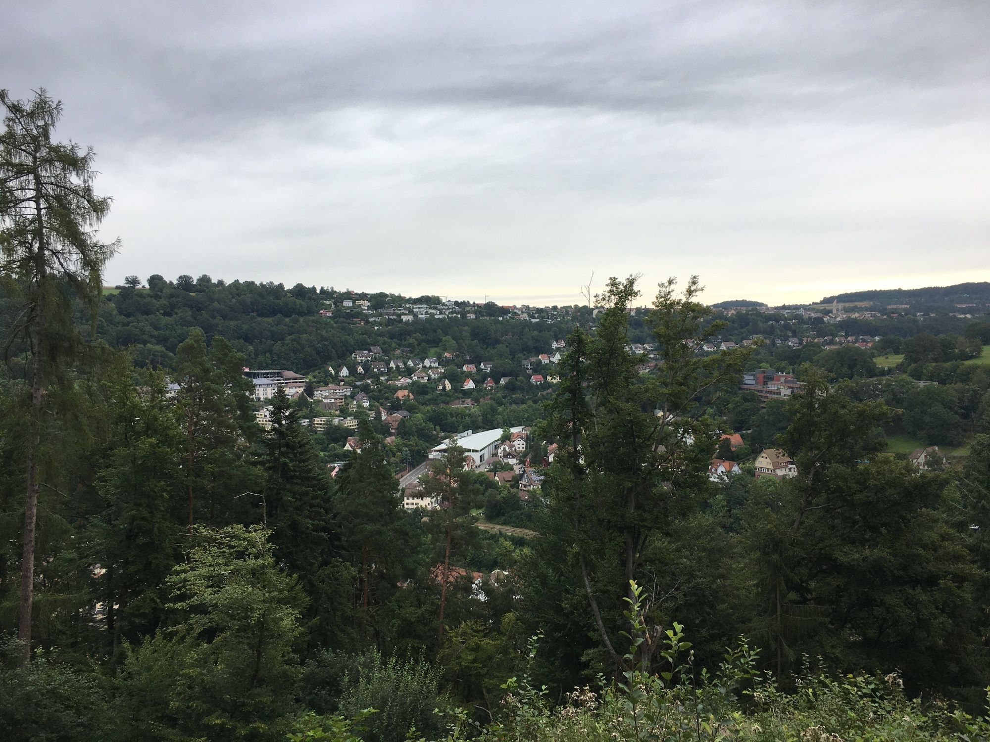
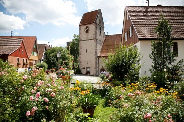
 © holgerwagVytvorené dňa 30.03.2025
 -
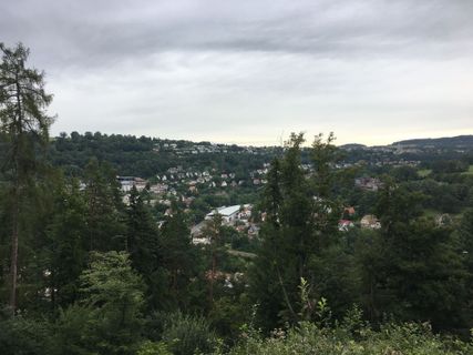
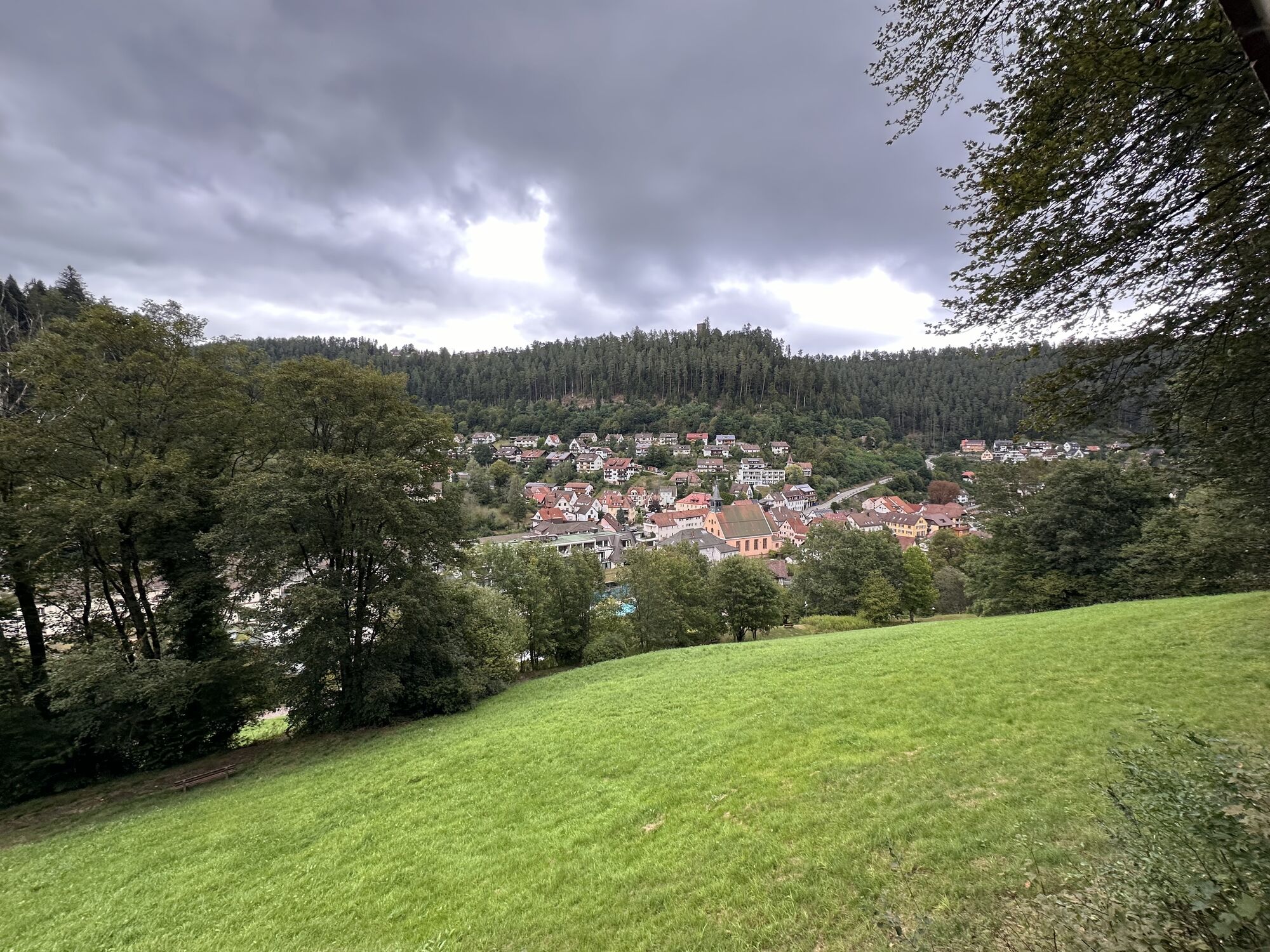
 © holgerwagVytvorené dňa 30.03.2025
 -
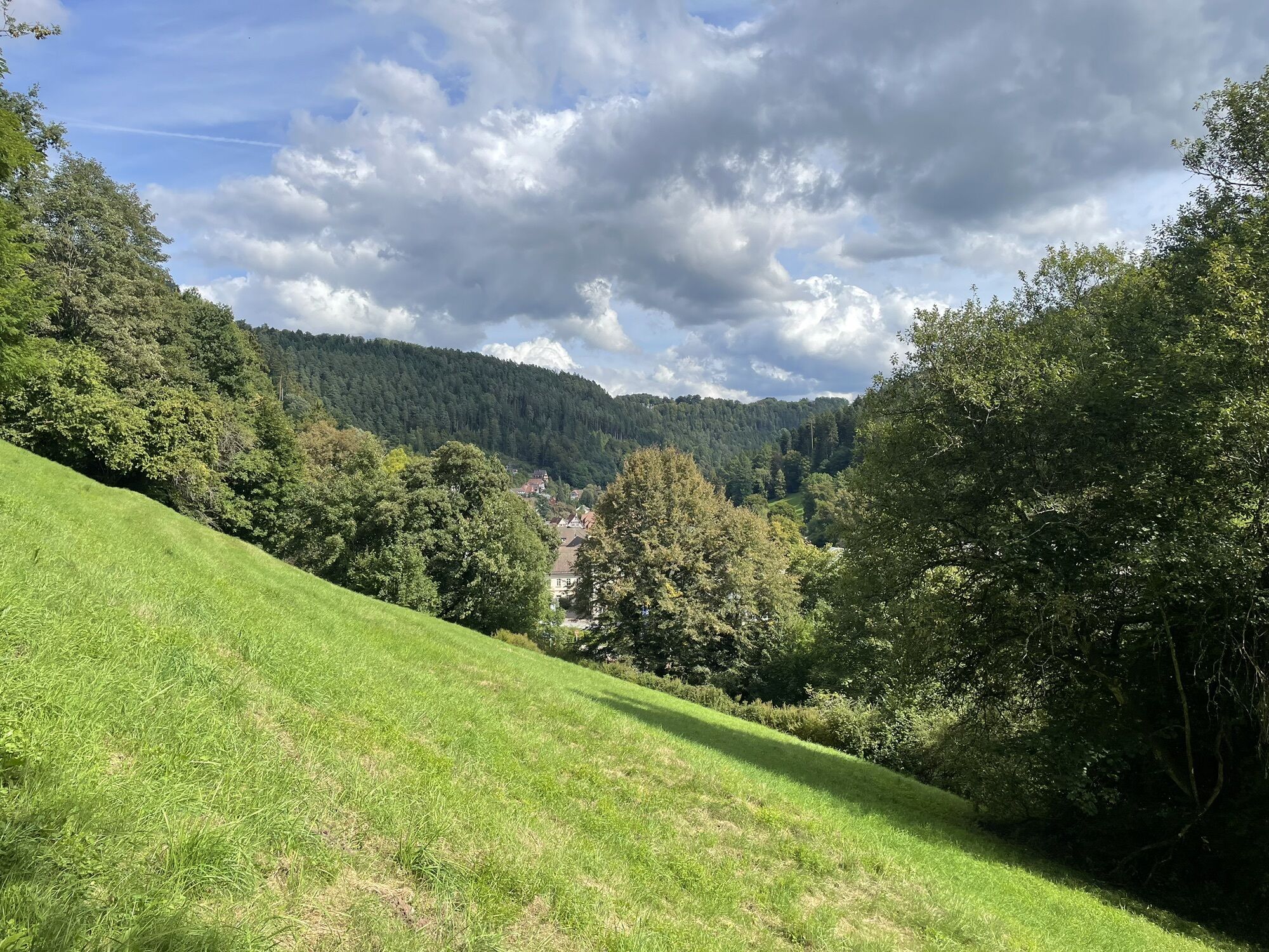
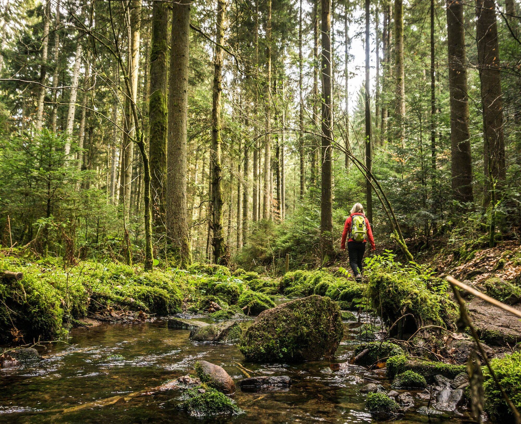
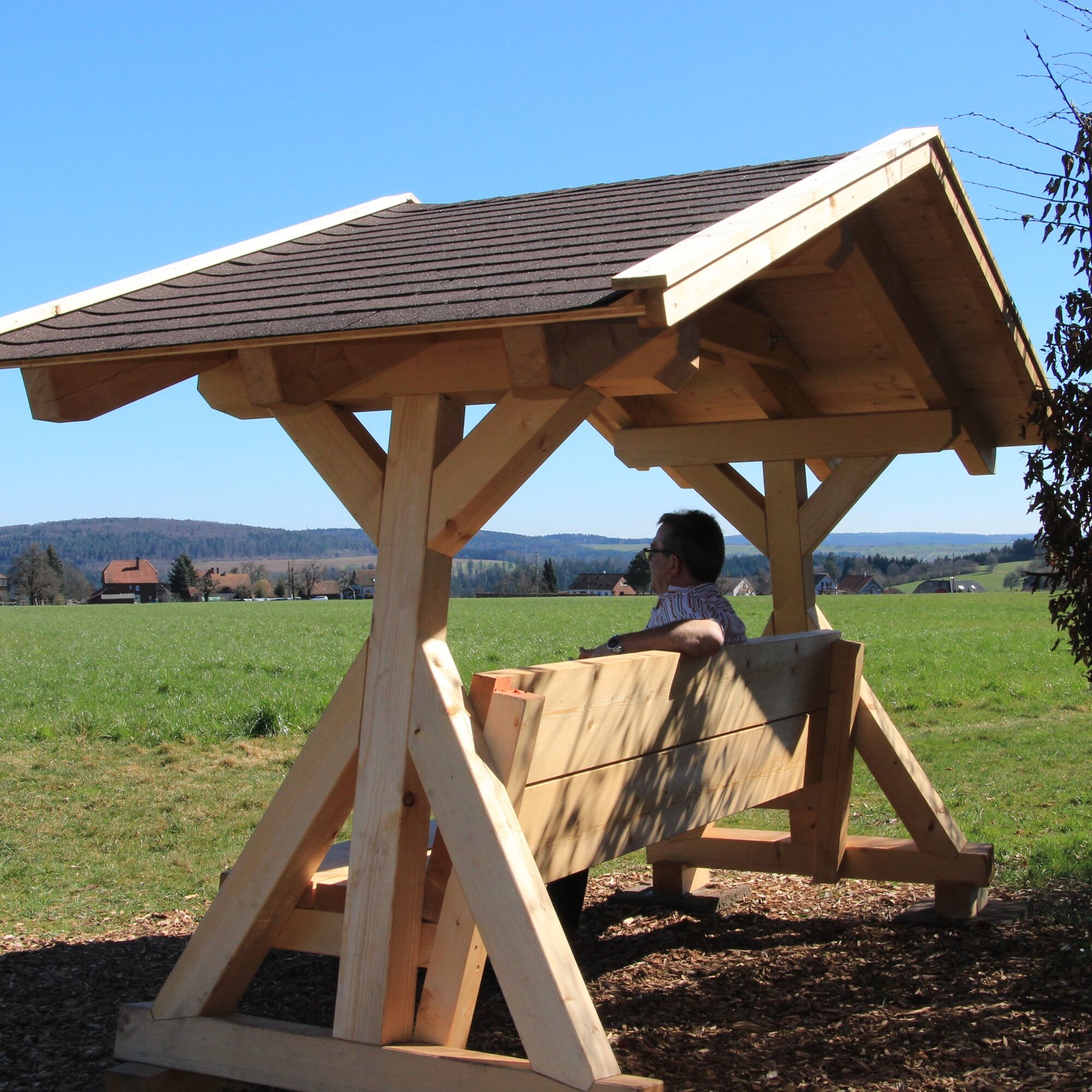
 © Ralf UmmingerVytvorené dňa 07.08.2022
 -
 © Ralf UmmingerVytvorené dňa 07.08.2022
 -
 © Ralf UmmingerVytvorené dňa 07.08.2022
 -
 © Ralf UmmingerVytvorené dňa 07.08.2022
 -
 © Ralf UmmingerVytvorené dňa 03.08.2022
 -
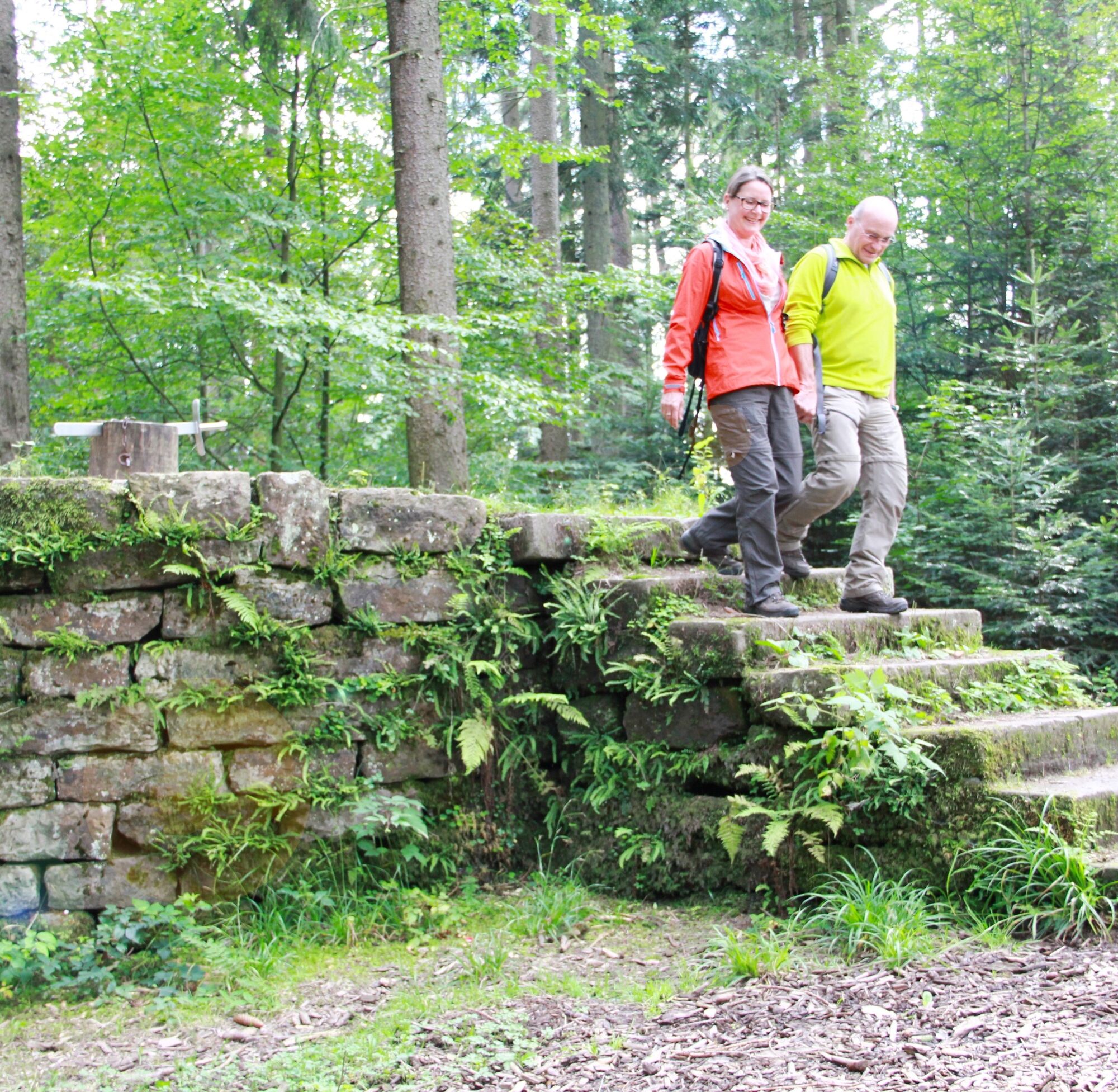
 © Ralf UmmingerVytvorené dňa 17.08.2019
 -
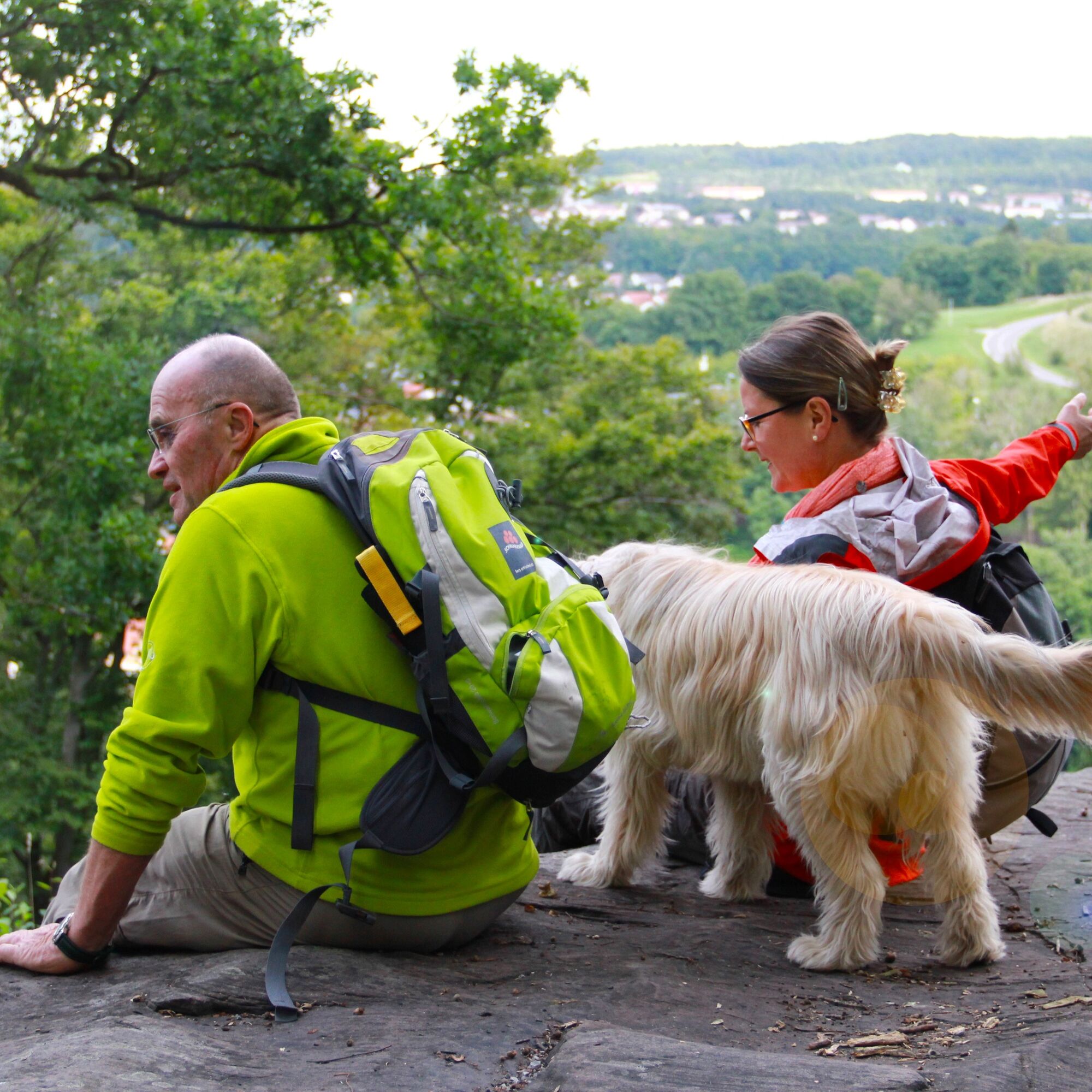
 © Ralf UmmingerVytvorené dňa 17.08.2019
 -
 © Ralf UmmingerVytvorené dňa 17.08.2019
 -
 © Ralf UmmingerVytvorené dňa 17.08.2019
 -
 © Ralf UmmingerVytvorené dňa 17.08.2019
 -
 © Ralf UmmingerVytvorené dňa 17.08.2019
 -
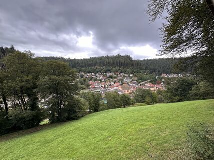
 © Mark PfeiferVytvorené dňa 08.09.2024


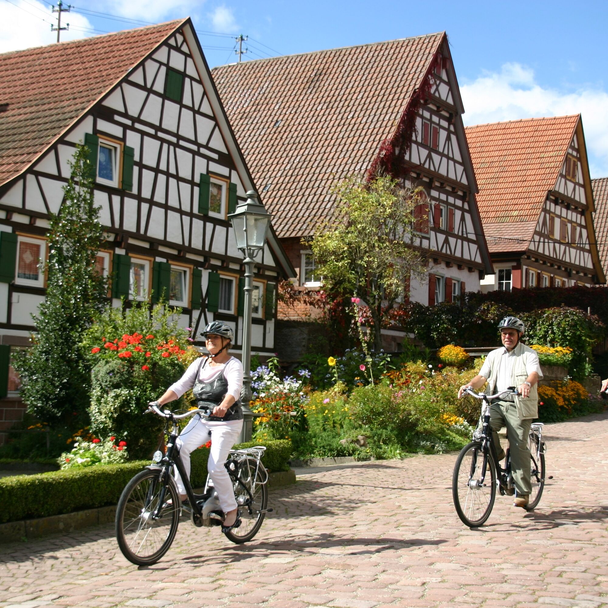
Exciting history, idyllic valleys, unspoiled nature, rock formations, and half-timbered houses are the features of this unique premium hiking route XXL.
Enjoy the unique combination of peace, nature, culture,...
Exciting history, idyllic valleys, unspoiled nature, rock formations, and half-timbered houses are the features of this unique premium hiking route XXL.
Enjoy the unique combination of peace, nature, culture, and culinary delights on this hike, combining these two premium trails and gourmet paths in the beautiful Teinach valley.
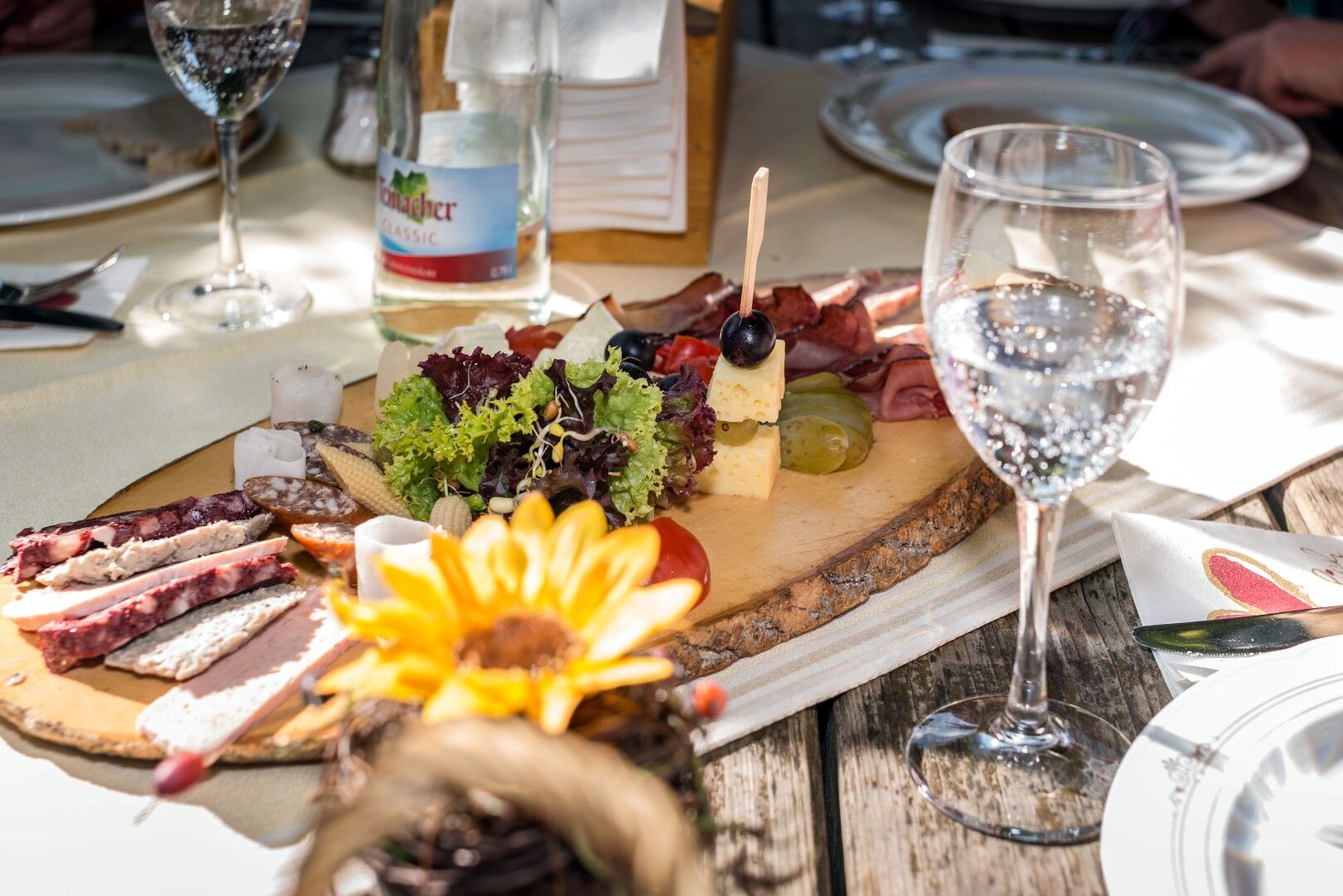
A gourmet hike that is somewhat demanding but promises a lot of experience.
Signage and trail network of the Black Forest Association.
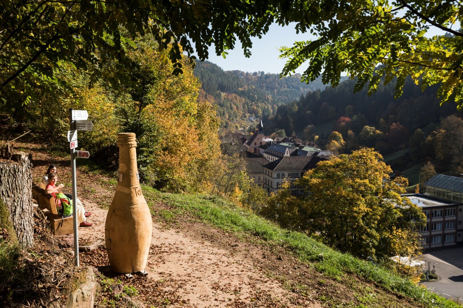
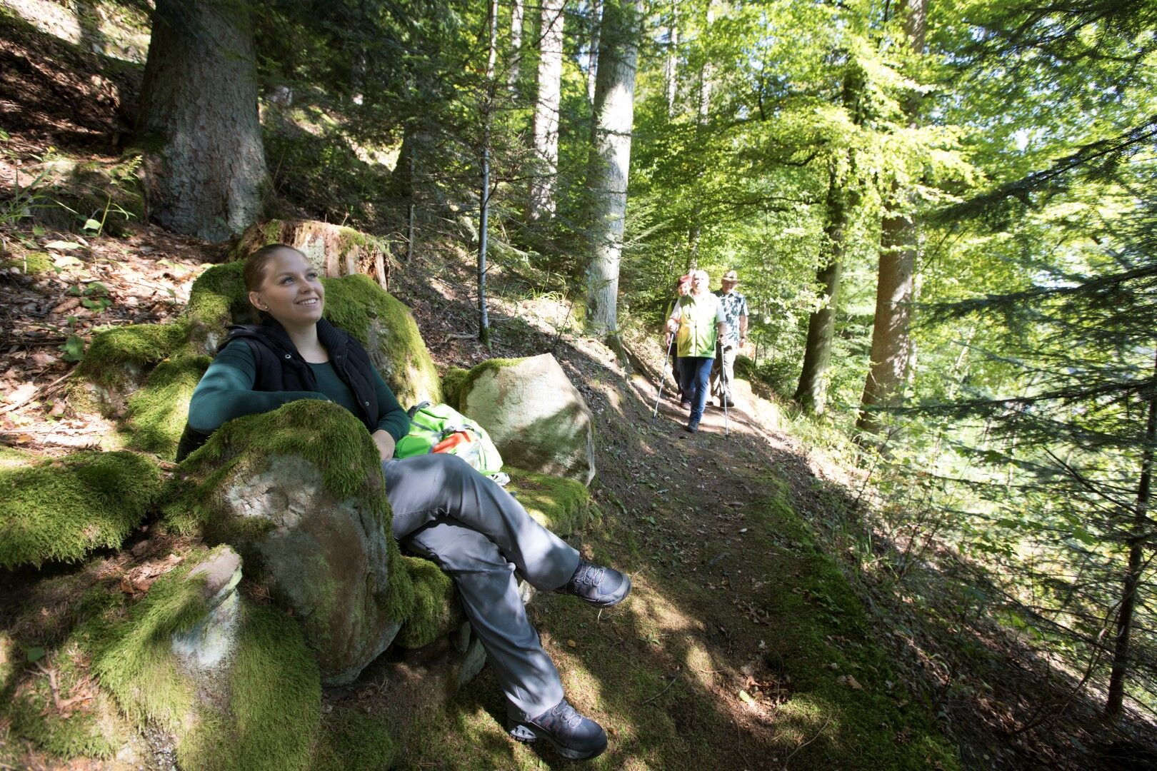
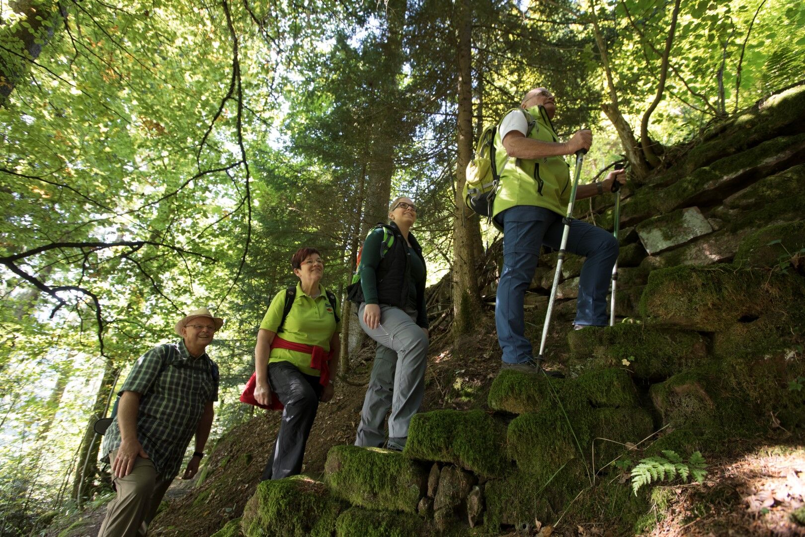
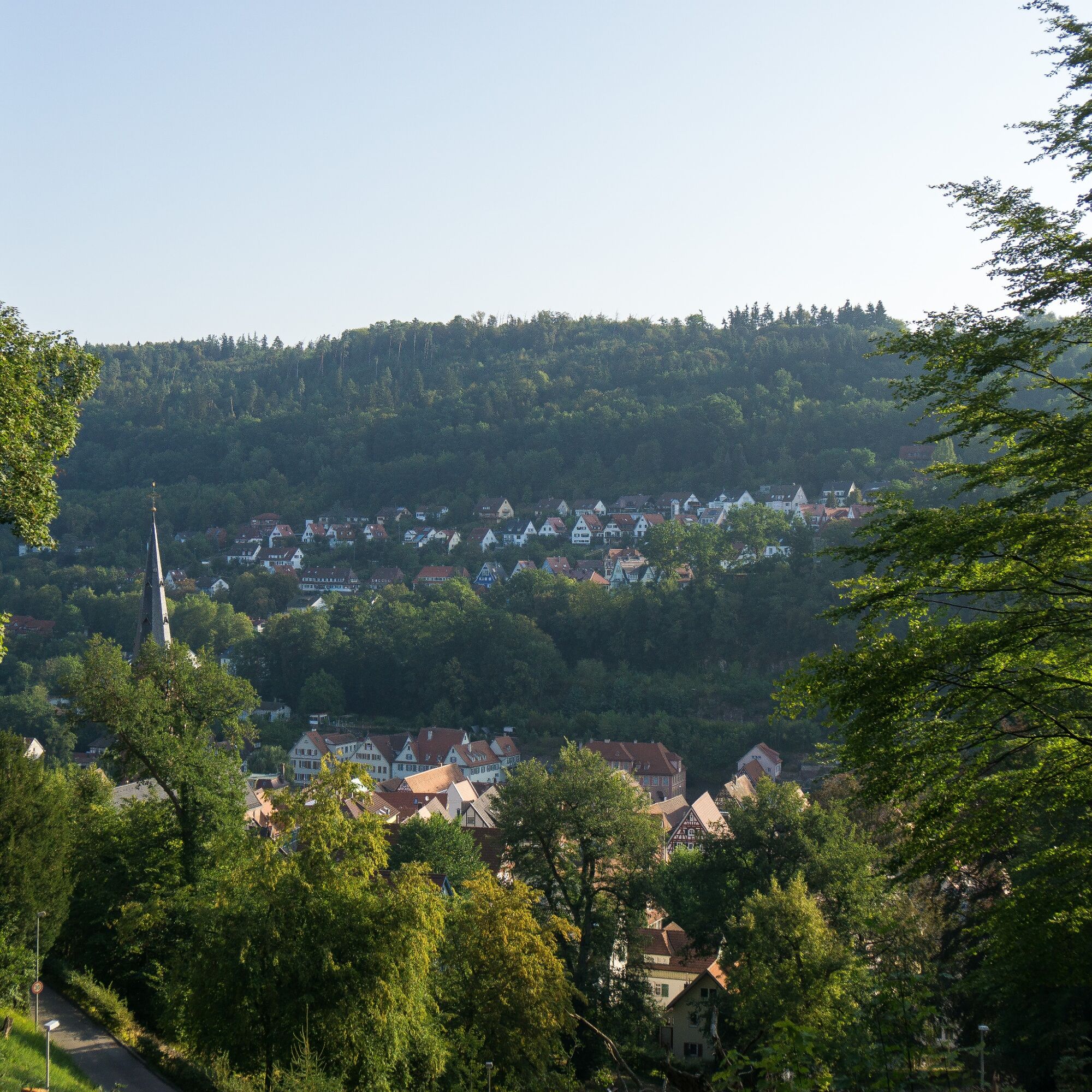
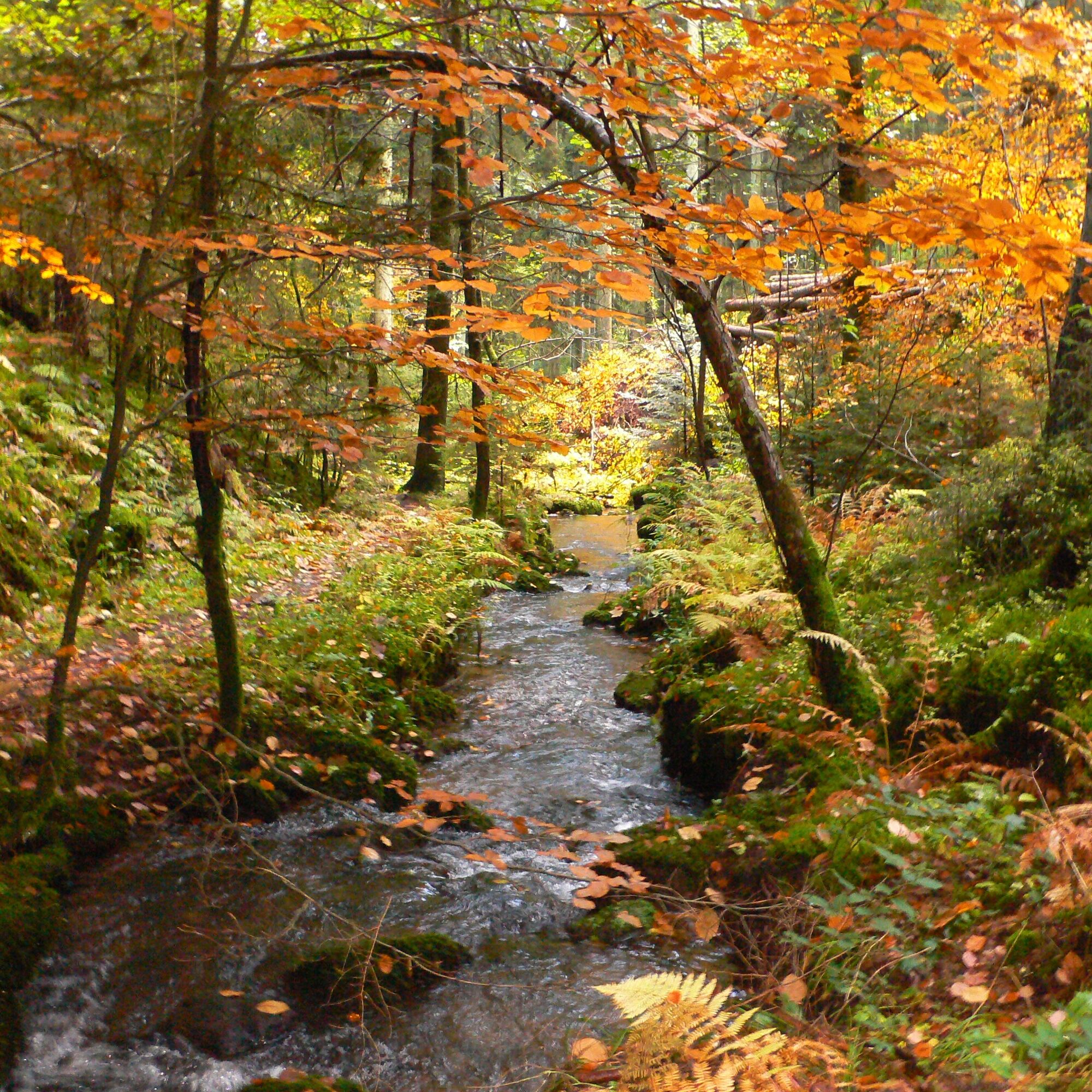
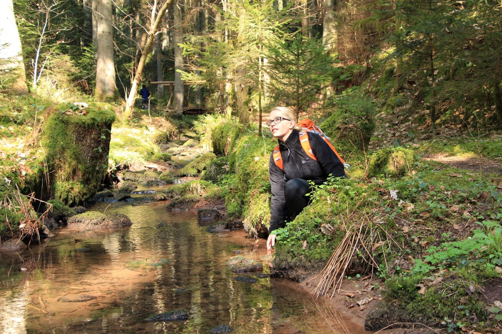
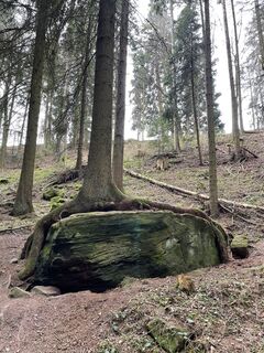
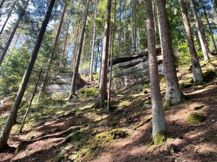
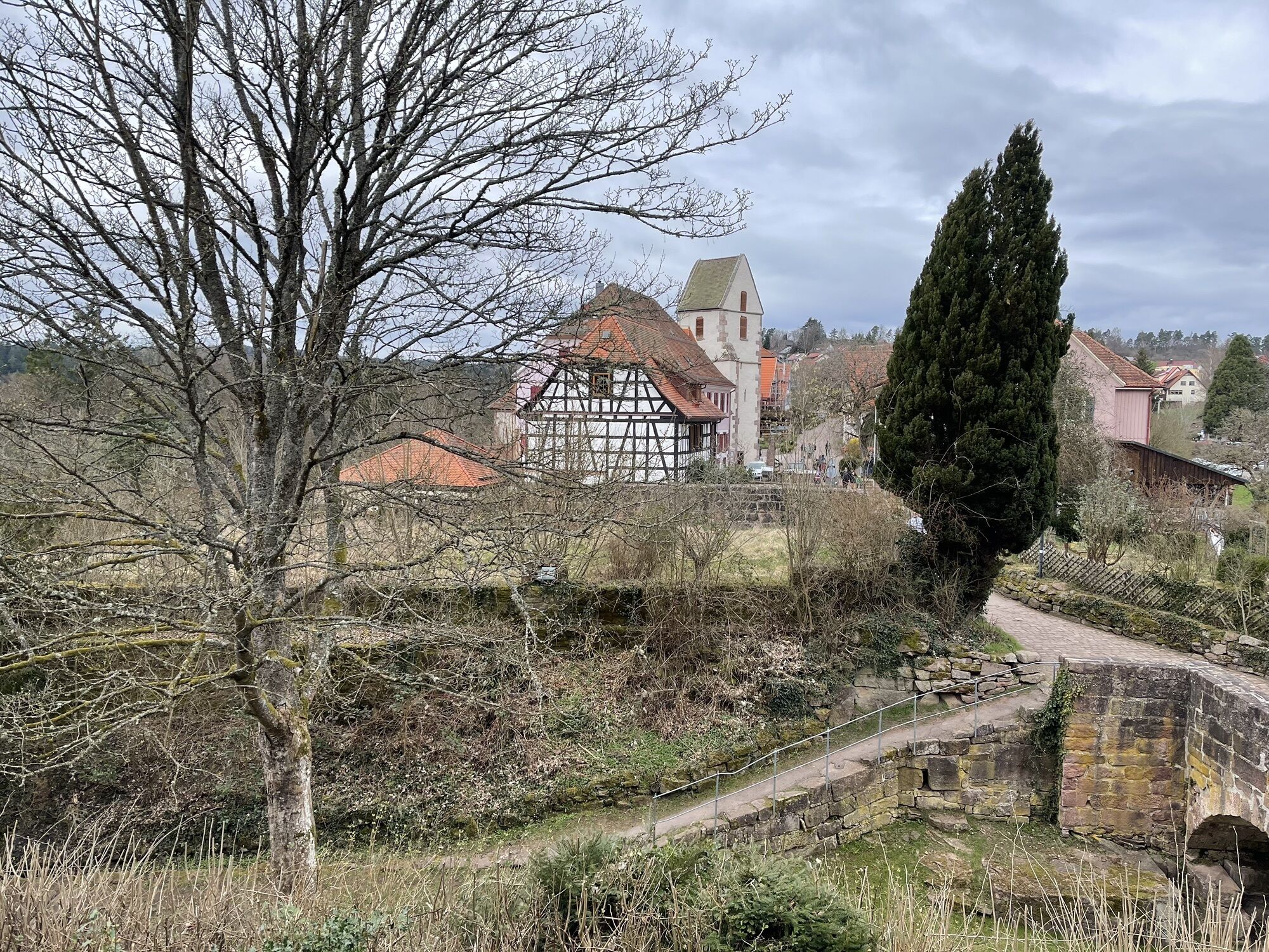
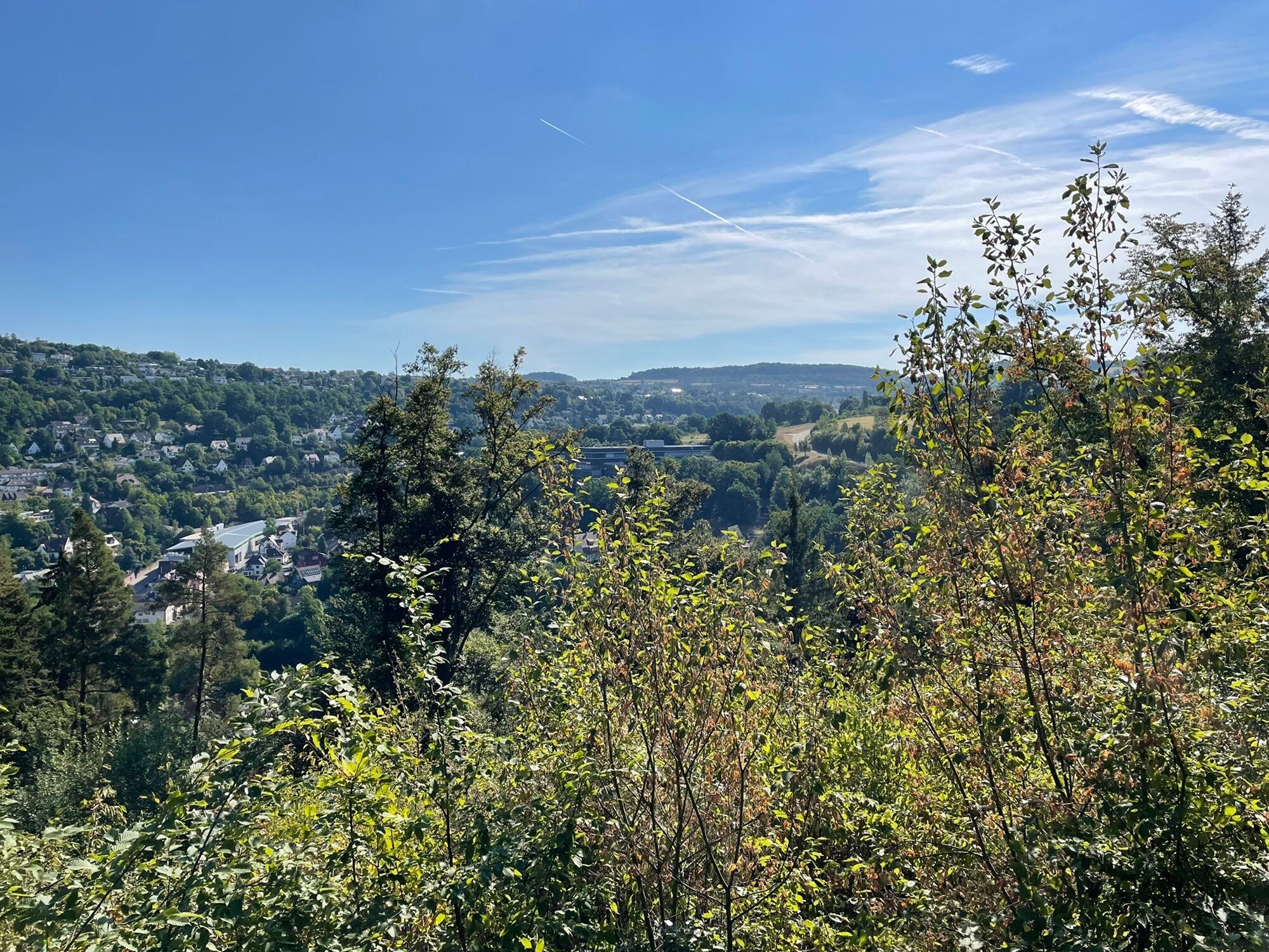
Exciting history, idyllic valleys, unspoiled nature, rock formations, and half-timbered houses are the features of this unique premium hiking route XXL. The start is at Bad Teinach / Neubulach train station. Along the Teinach stream surrounded by the scent of fir trees, we reach the entrance to the premium trail "Der Teinacher" after the trout ponds. It continues along a footpath promising peace, nature, and authenticity. On the berry path, hikers are surrounded by much nature and beautiful views of the lovely Teinach valley. The stone guestbook suggests that many people have already experienced healing here.
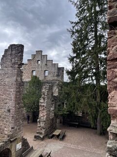
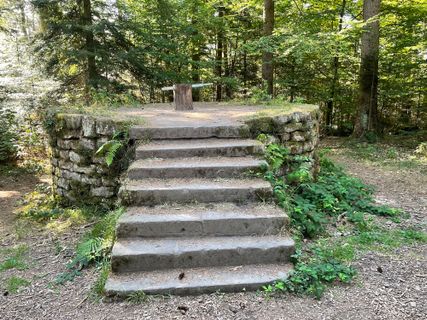
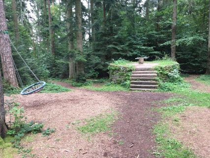
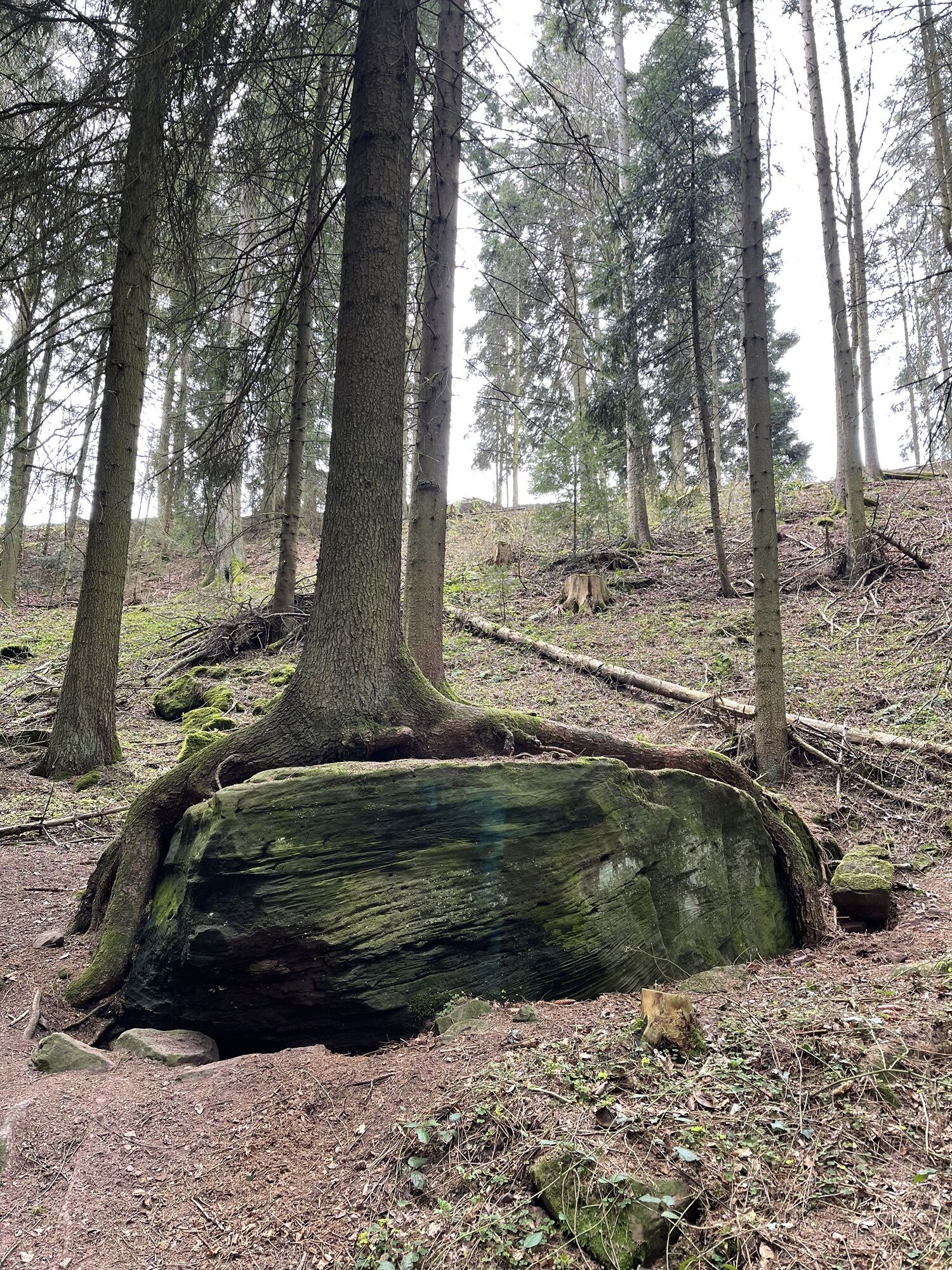
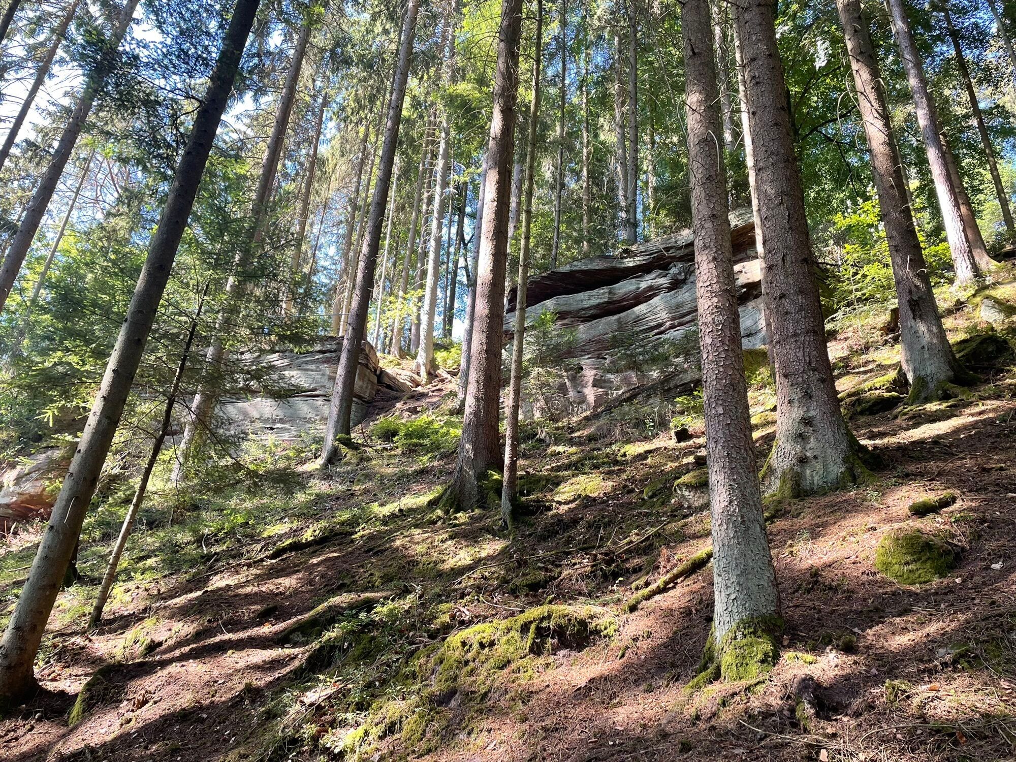
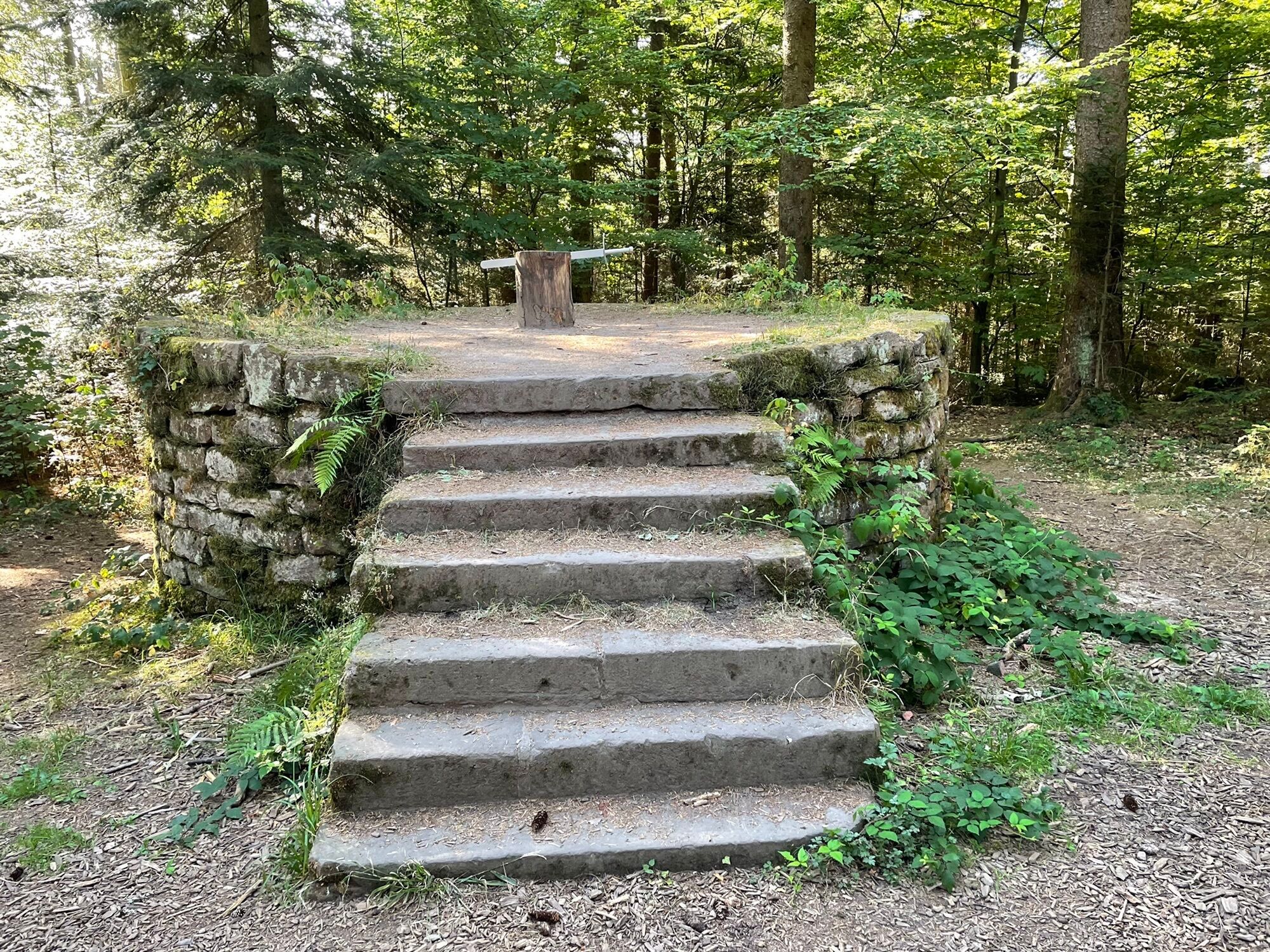
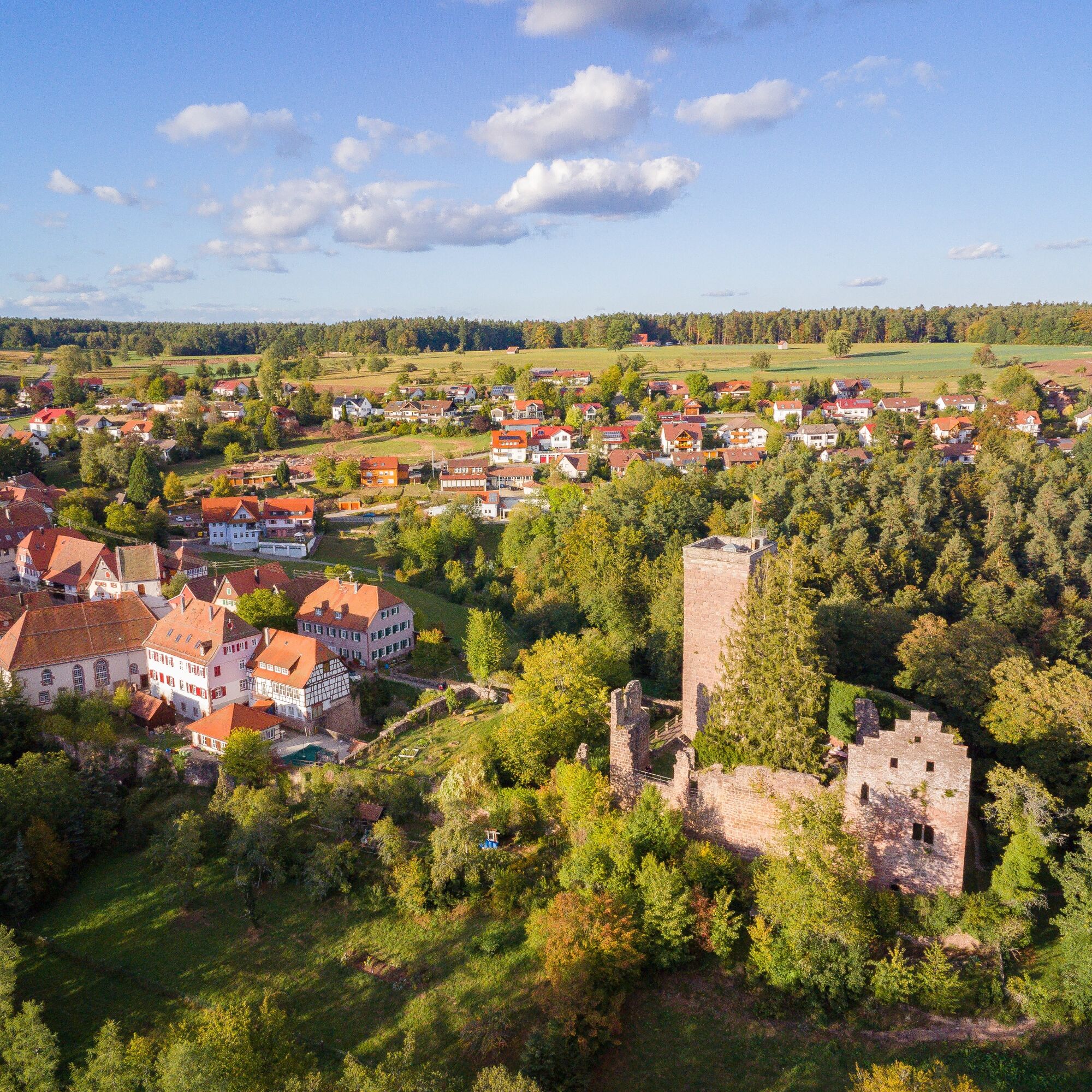
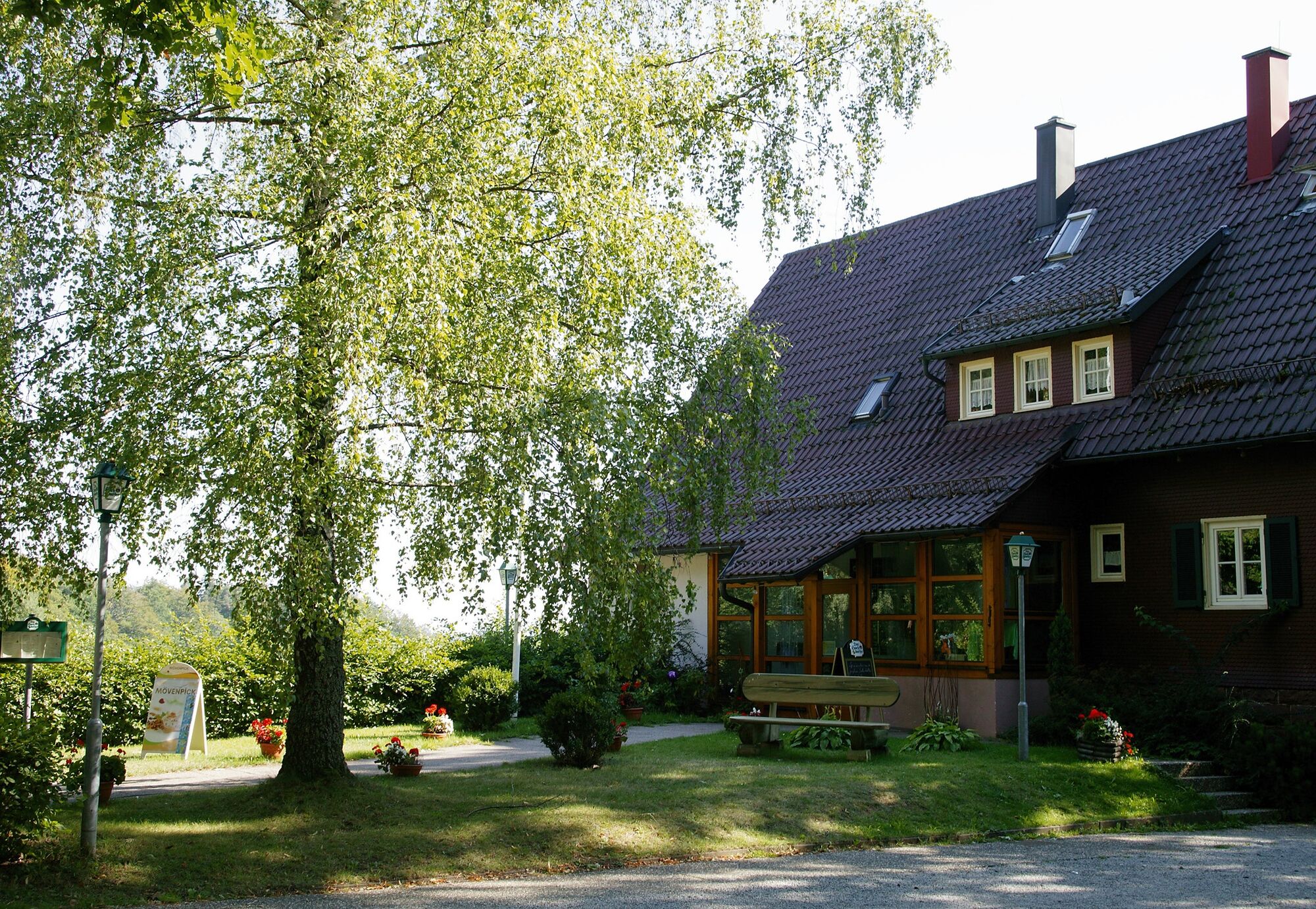
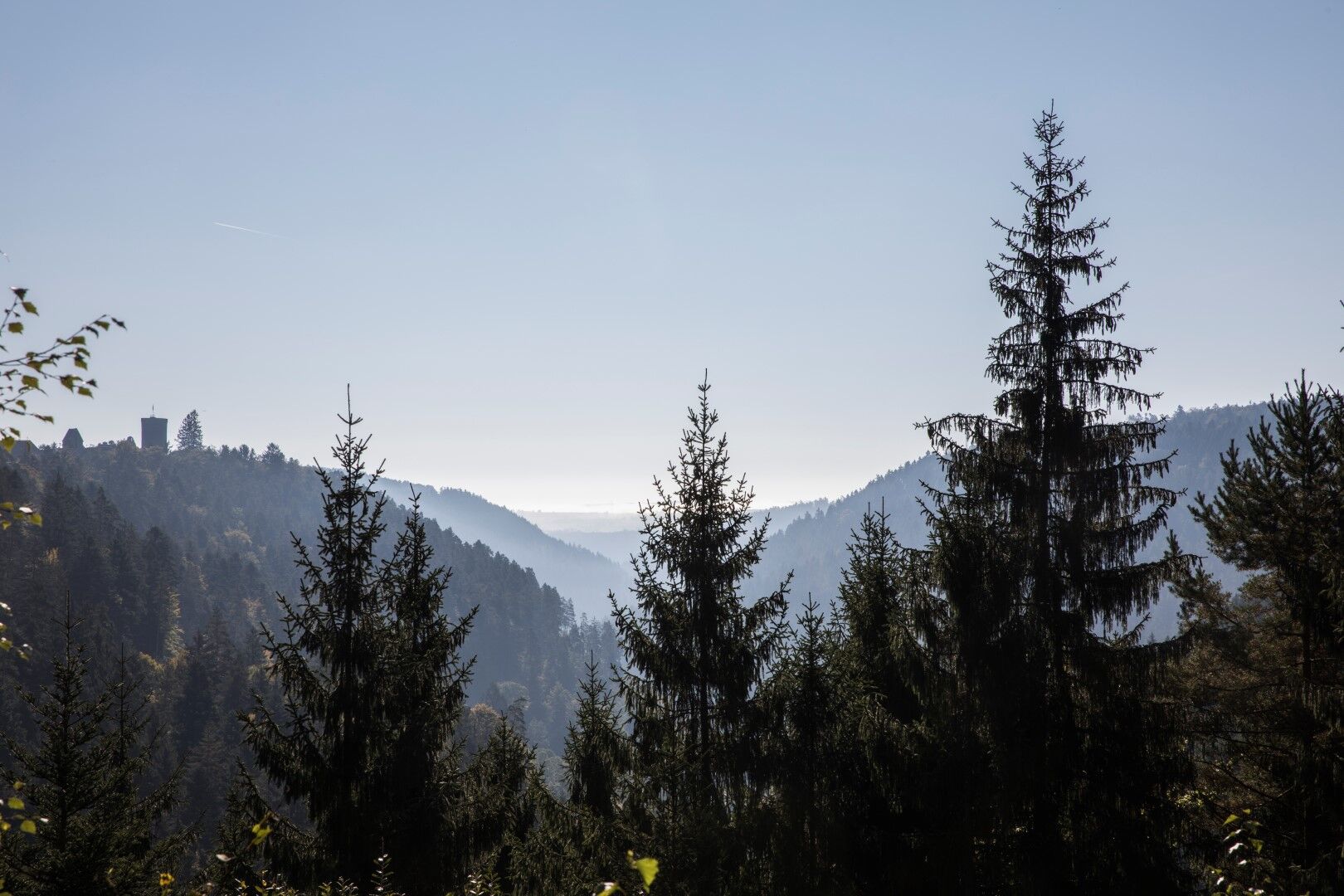
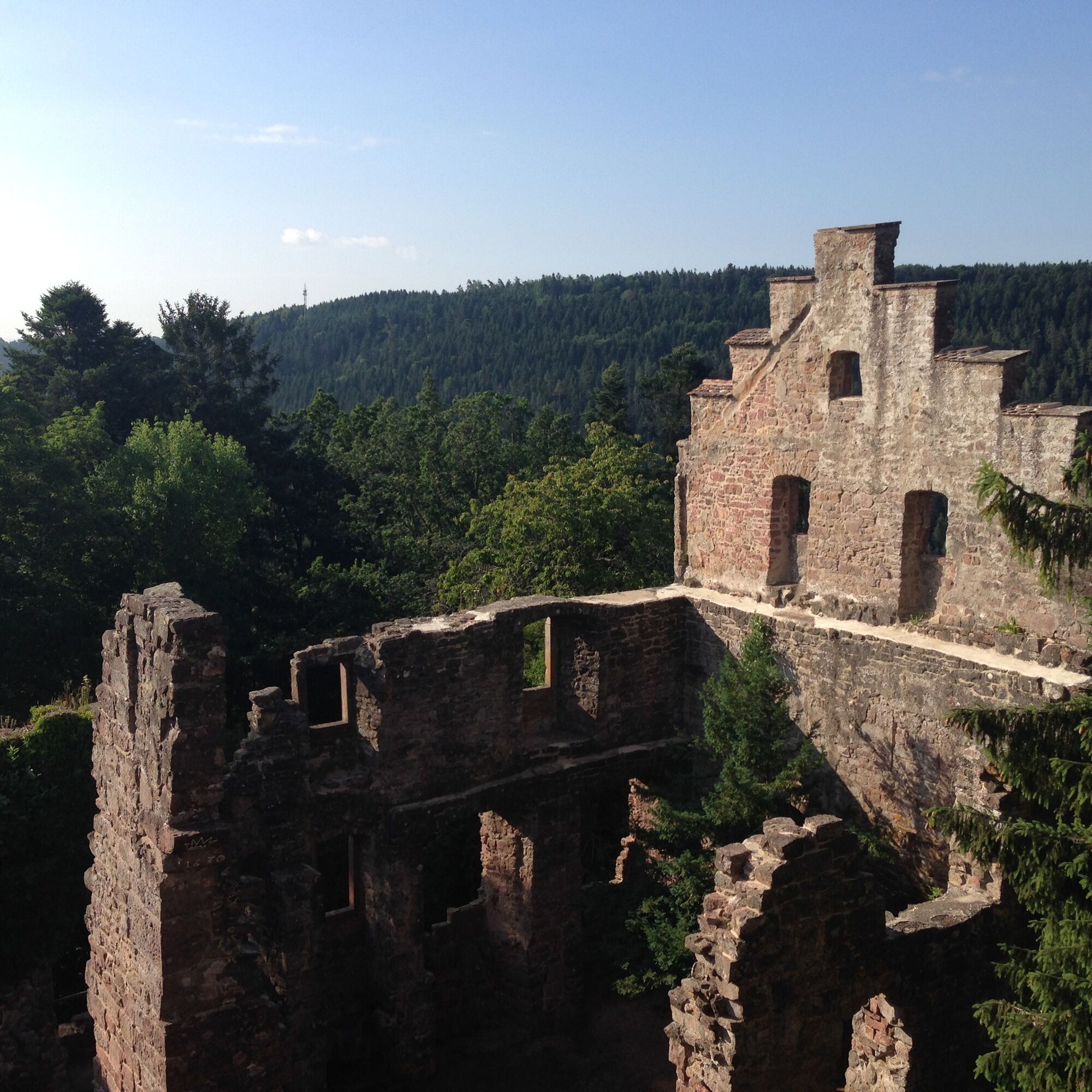
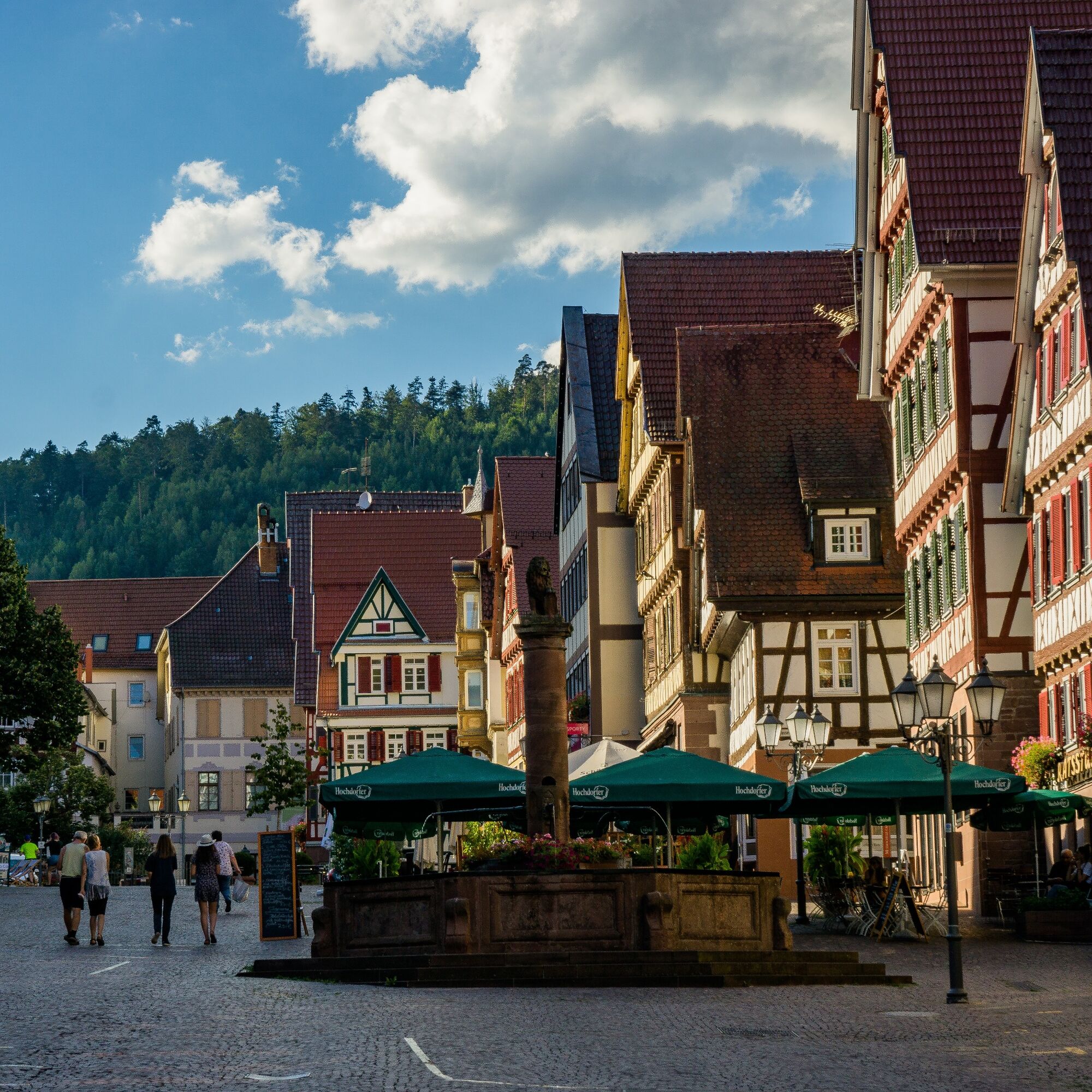
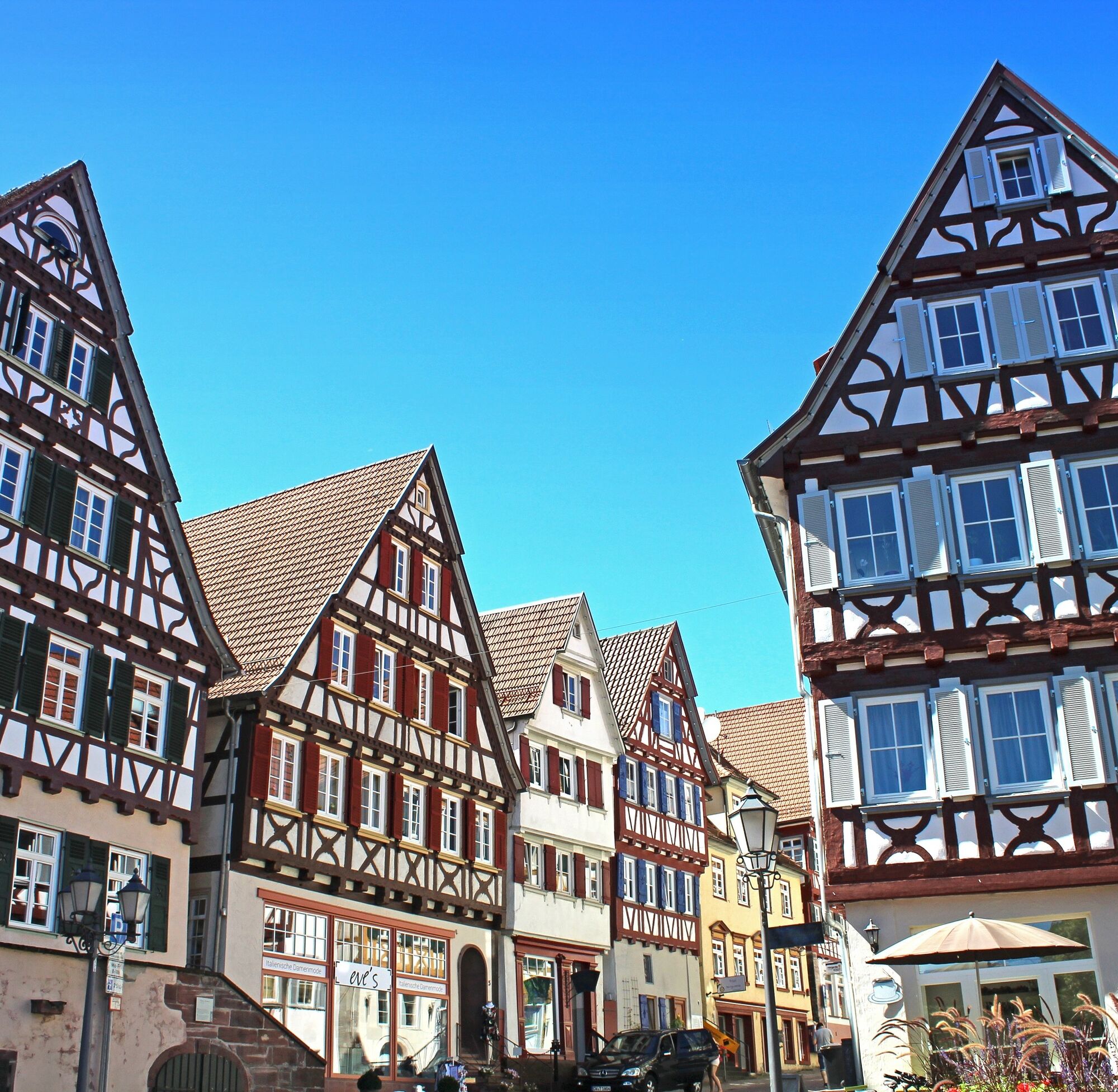
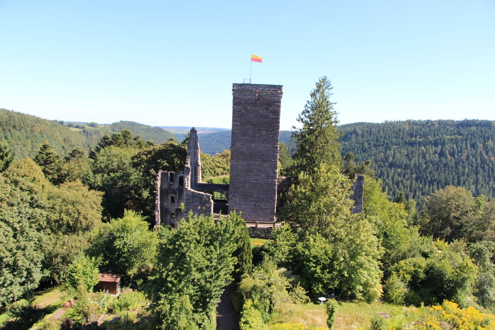
The Teinach valley accompanies the hiker for some time until reaching the highlight of the gourmet trail, the Mathildenstaircase with over 600 steps leading to the heights around Emberg. Bizarre rock formations, dark forests, and mystical places accompany the hiker. With the Wolf's Gorge, we reach one of the eerie parts of the hike. Before the upcoming ascent to the old romantic town of Zavelstein with its impressive castle, you can enjoy regional delicacies in the cozy Schloßberghütte.
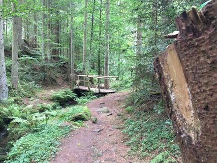
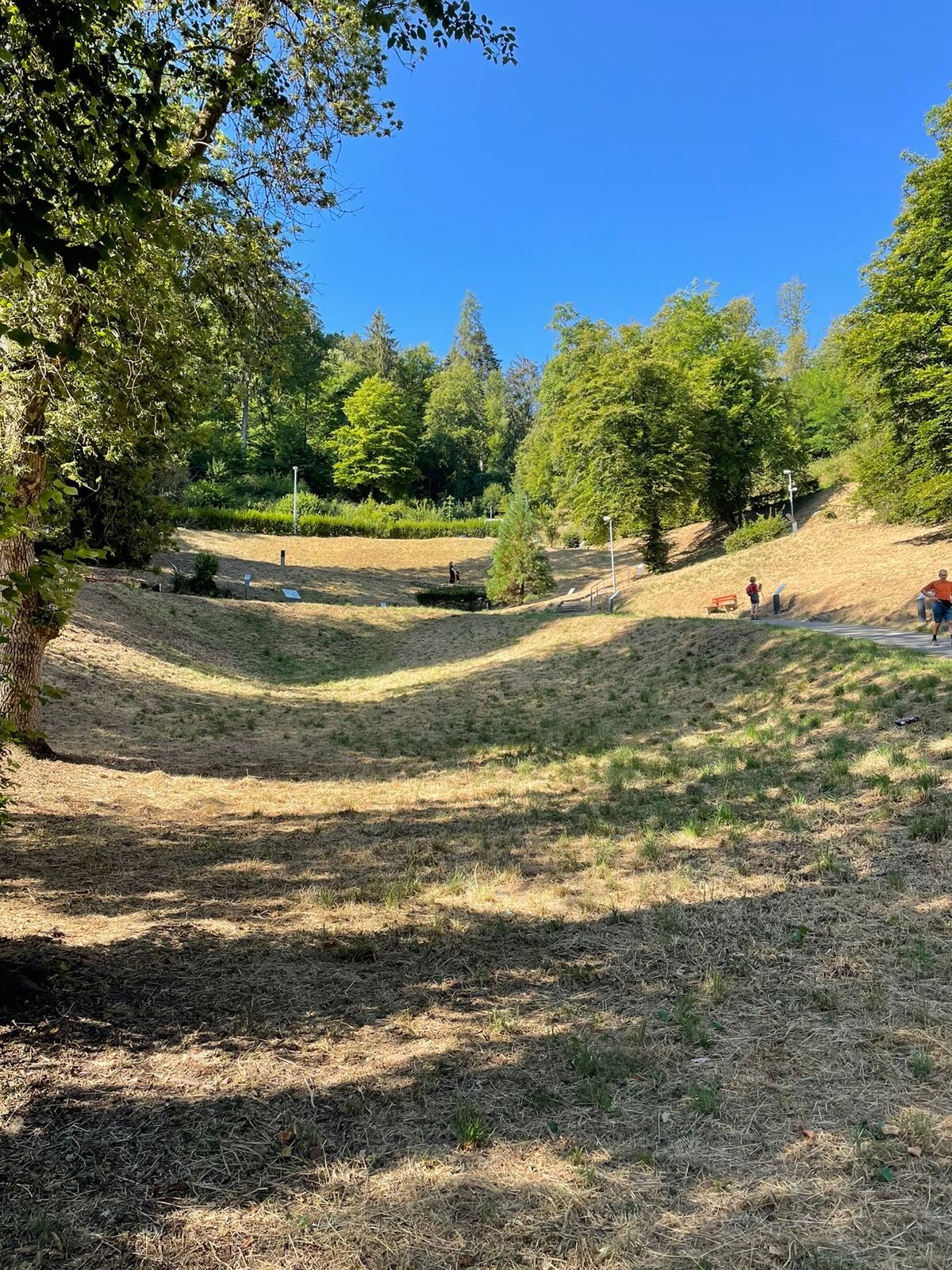
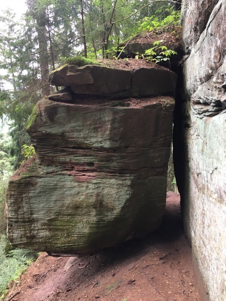
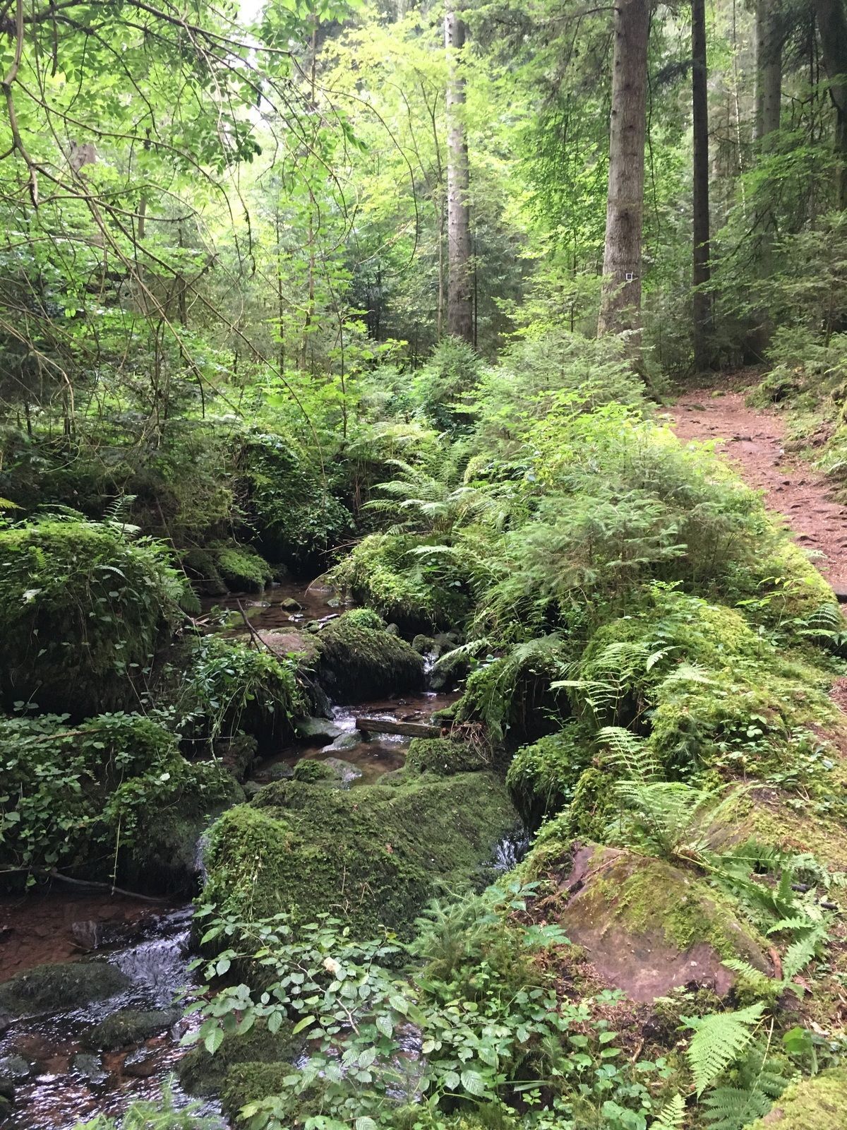
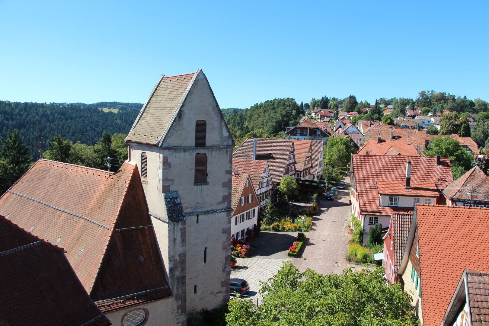
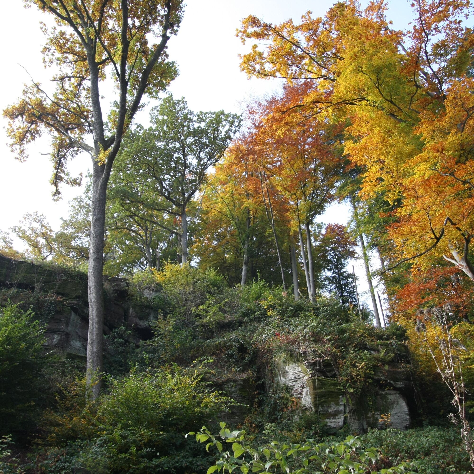
Past the historic half-timbered houses of Zavelstein, the route goes through the nature reserve "Crocus Meadows" and the hiking lodge to our exciting and varied gourmet trail "Water, Forest and Meadow Path." For the upcoming hiking stage, we are accompanied by magnificent orchard meadows, flat agricultural and forestry paths leading to Calw. Another special experience is the Stubenfelsen. Playing cops and robbers there requires little imagination. The highlight of this section is undoubtedly the path through the Rötelbachtal, which will certainly captivate every hiker, young or old. However, attention is needed since the path can always be slippery.
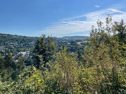
Now ancient spruces and beeches accompany us to the scaffold and the Gimpelstein, with views of the vibrant life of the Hermann Hesse city of Calw.
A gourmet hike that is somewhat demanding but promises a lot of experience.
Follow the Black Forest Association trail signs and the well-marked premium trails.
Location trail markers:
- Bad Teinach/Neubulach train station, - Power station, - Langsches Brückle, - Ski jump, - Sitzstein, - Upside-down house, - New dam, - Teinacher, - Mathildenanlage, - Mathilden stairway, - Wilhelmshöhe, - Mathildenhöhe, - Castle view, - Winterhalde, - Mountain hut, - Weir, - Feierabendbrückle, - Schloßberghütte, - Weihreute, - Castle hill, - Castle path, - Market square, - Spring garden, - School street, - Upper Waldacker, - Lützenhardt, - Stubenfelsen, - Lower Rötelbach Gorge, - Birkwald, - At the Wölflesbrunnen, - Wildlife enclosure, - Schießbach, - City garden, - Calw market
An important note for the hiker:
Almost all the stairs and steps encountered along the way are often irregular and natural, frequently in the forest, so that they can be quite slippery when wet or damp. For this reason, hiking in the direction described here is highly recommended.
Áno
The path is demanding; good and sturdy footwear, small backpack snacks, and drinks are recommended.
Best hiking season is April to October, although the Mathilden stairs and the Rötelbach Gorge can be slippery all year round when damp.
After heavy rainfall, the path at the Devil's Bridge and the paths in the Rötelbachtal can also be temporarily flooded.
Arrival by car
Motorway A 8 Karlsruhe-Stuttgart exit Pforzheim-West, via B 294 to Calmbach and B 296 to Oberreichenbach, then signposted (35 km) or B 463 to Bad Teinach station (37 km).
Motorways A 8, A 81 Autobahn junction Leonberg, via B 295 to Calw, then signposted (35 km).
Motorway A 81 Stuttgart-Lake Constance exit Gärtringen, towards Calw on B 296. At Holzbronn exit turn left and follow K4302 to B463 to Bad Teinach-Neubulach station.
Arrival by train
Cultural train between Pforzheim - Bad Liebenzell - Calw - Teinach station - Wildberg - Nagold - Horb
runs every 30/60 minutes
The Bad Teinach train station is 3 km outside on the Nagold Valley Railway (Cultural Train) from Pforzheim to Horb. Modern railcars run every half hour on this line, linking with the InterRegio network in Pforzheim and the ICE and IC networks in Karlsruhe. Good connections to all parts of town are ensured through bus service to Bad Teinach-Zavelstein and taxis (Tel. 0 70 53 / 9 69 60). There is no ticket office at Bad Teinach station. The nearest ticket office is at Calw station (Calw travel center, Bischofstraße 10, 75365 Calw, phone 07051 2355, service hours Monday to Friday 8:00 AM to 6:00 PM).
On the Deutsche Bahn website, you can find current travel information and timetable inquiries. Continue to website
On the electronic timetable inquiry website of Baden-Württemberg, you can find bus and train connections linked to local public transport. Continue to website
Public parking at Bad Teinach/Neubulach train station.
Parking facilities in the ZOB parking garage in Calw
Dining options:
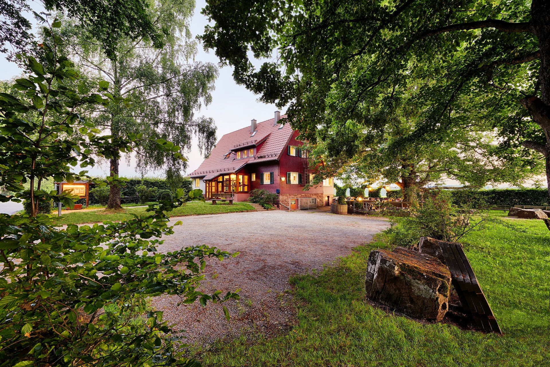
Schloßberghütte Bad Teinach, Tel. 07053 290; open from 11:00 AM, closed on Tuesdays
www.schlossberghuette.de
Hiking lodge Zavelstein, Phone: 07053 8831; closed on Mondays;
http://www.berlins-hotel.de/wanderheim/wanderheim.php
Obľúbené výlety v okolí
-
5,0
Wild romantic Monbach Valley
svetloTuristika 6,25 km -
4,8
Hiking through the Monbach Gorge in search of the kingfisher
strednáTuristika 10,5 km -
4,7
Through the wild romantic Schweinbachtal to the Bruderhöhle cave
strednáTuristika 13,8 km -
4,5
Wolfsschlucht and Fox Gorge
strednáTuristika 9,74 km -
5,0
Der Teinacher (Premiumweg & Genießerpfad)
strednáTuristika 12,0 km -
5,0
Water, Woods and Meadowtrail / Zavelstein > Calw (Premium trail & Genussweg)
ťažkéTuristika 14,4 km -
From Bieselsberg into the wild Monbach valley - dream route on small paths
ťažkéTuristika 18,0 km -
5,0
AugenBlick route Bad Teinach-Zavelstein Zettelberg
ťažkéTuristika 15,5 km -
5,0
Rundwanderweg Sulzkar
strednáTuristika 12,4 km -
5,0
Hike through the idyllic Kälbertal
strednáTuristika 8,01 km
Turistika a stopovanie


Nenechajte si ujsť ponuky a inšpiráciu na ďalšiu dovolenku
Vaša e-mailová adresa bol pridaný do poštového zoznamu.