







FREI.GANG on the heights through the Altburg districts
Follow the signpost locations of the Black Forest Association: Sports ground, Altburg, Kirchweg, Heerweg, Spindlershof, Birkenwäldle, Bäckergässle, Oberriedt, Anplätz, Speßhardt, Hausäcker, Weltenschwann,...
Follow the signpost locations of the Black Forest Association: Sports ground, Altburg, Kirchweg, Heerweg, Spindlershof, Birkenwäldle, Bäckergässle, Oberriedt, Anplätz, Speßhardt, Hausäcker, Weltenschwann, Sports ground
FREI.GANG on the heights through the Altburg districts
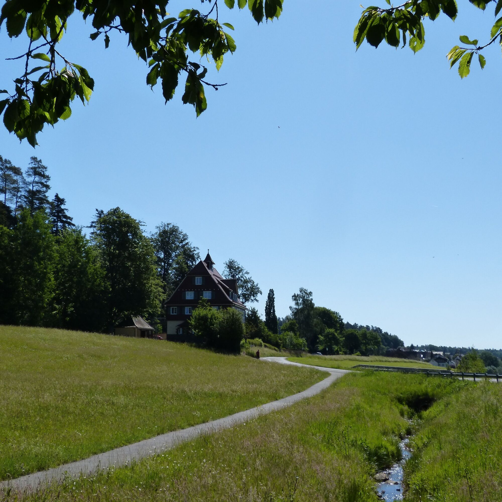
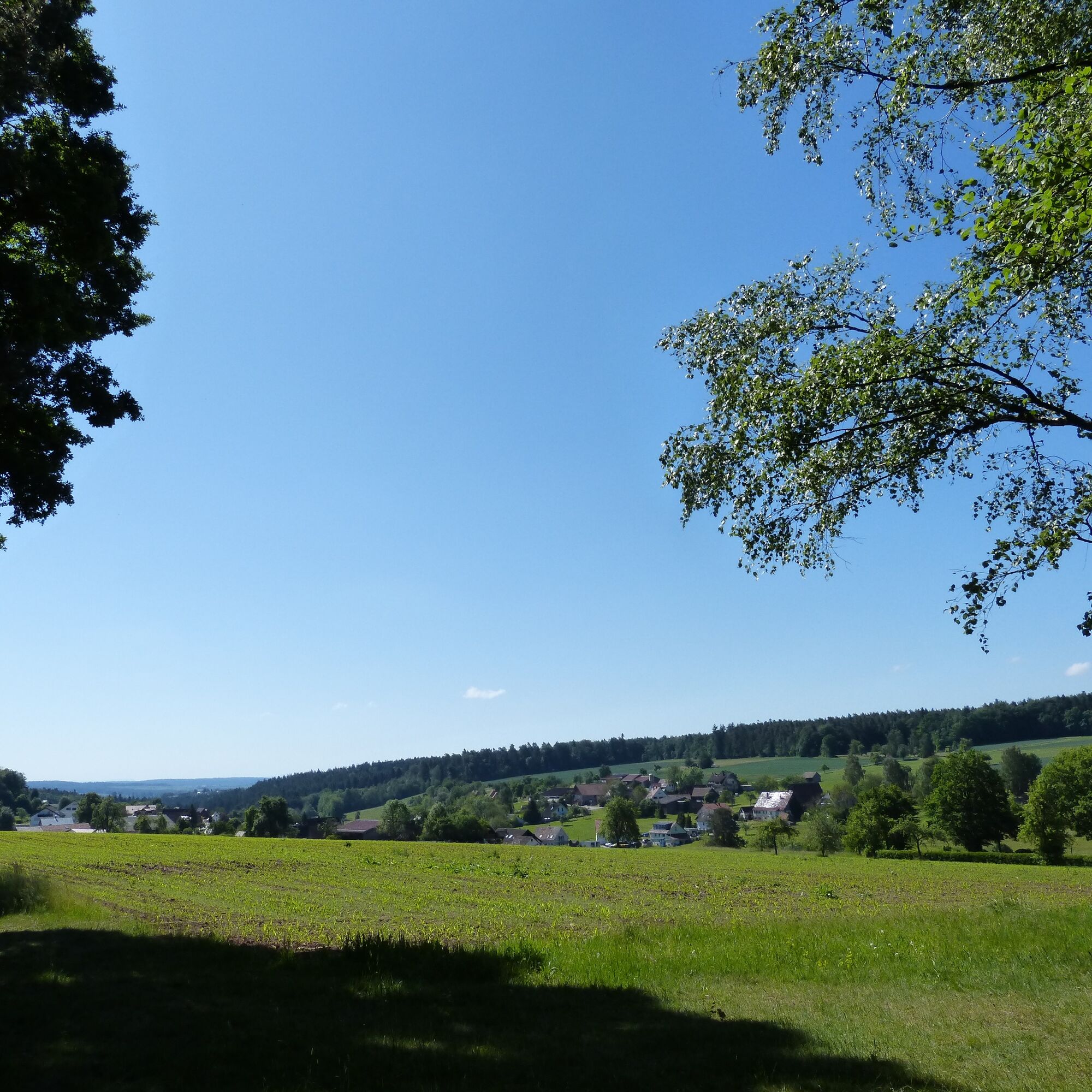
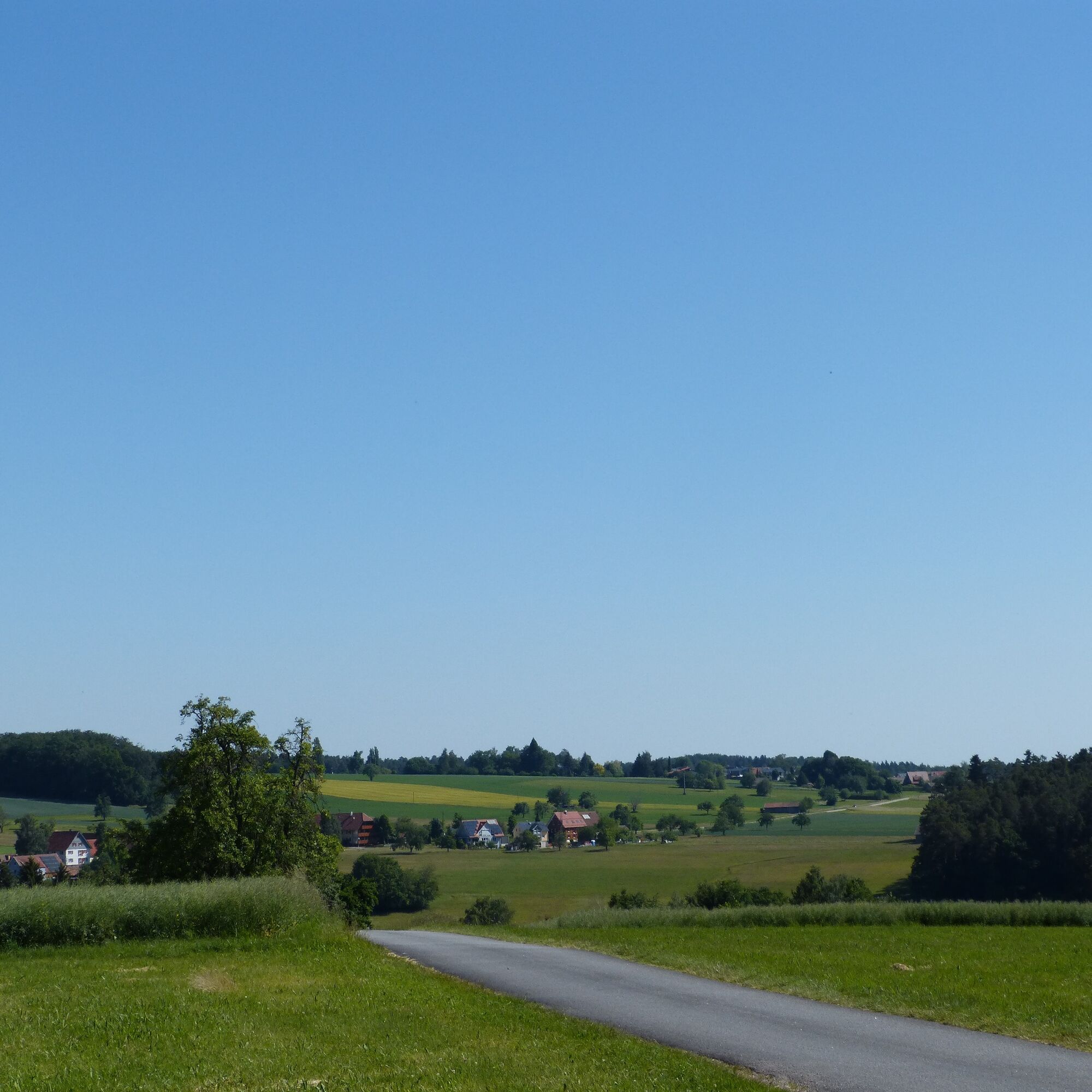
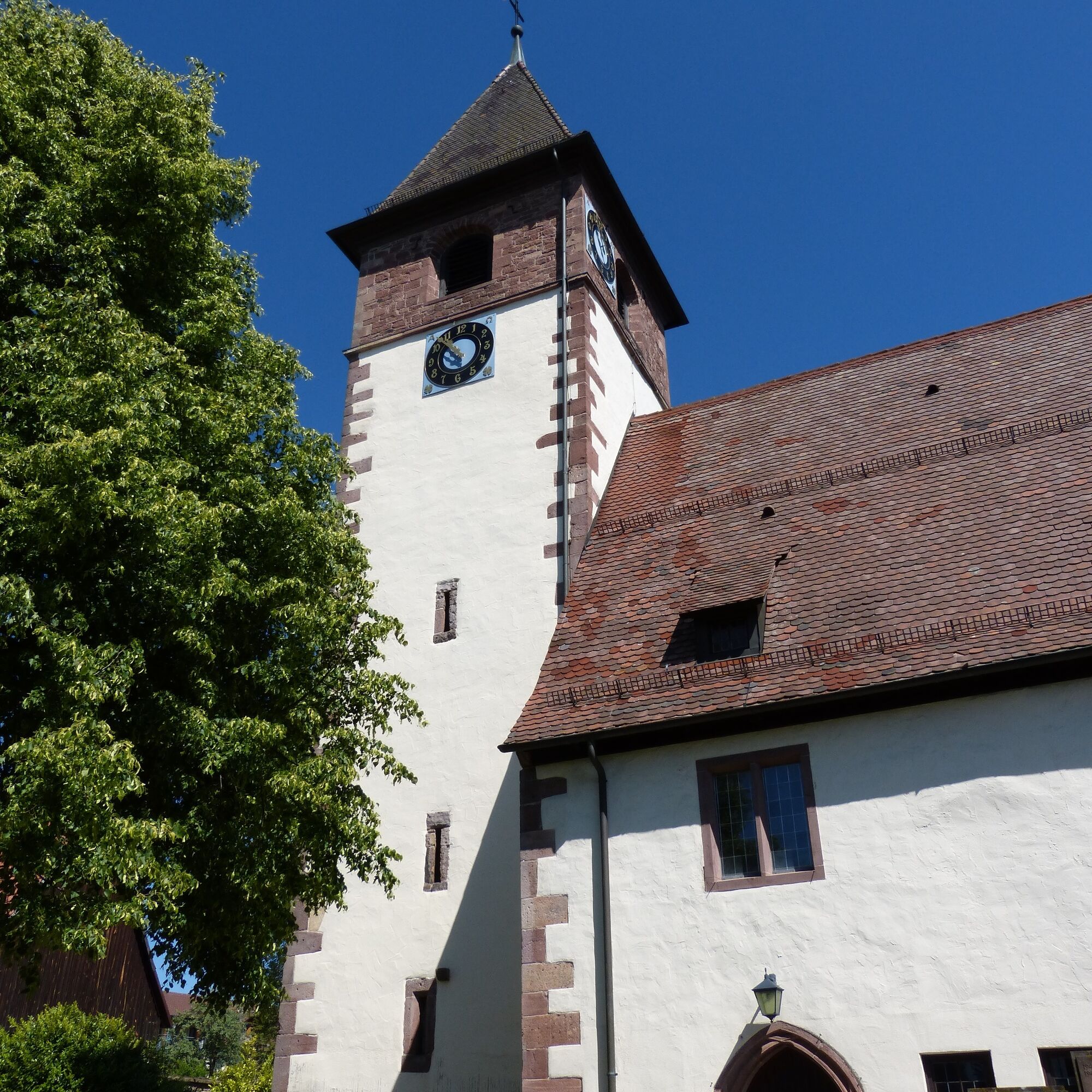
The FREI.GANG on the heights through the Altburg districts leads you around the highest district of Calw, Altburg. On this enjoyable hike, you can not only enjoy the peace of the near-natural forests and orchards but also discover some cultural highlights. In historic Altburg, a detour to the Altburger Bohnenberger historical trail is recommended. Here you learn about the Altburg observatory and the famous professor Johann Gottlieb Friedrich von Bohnenberger.
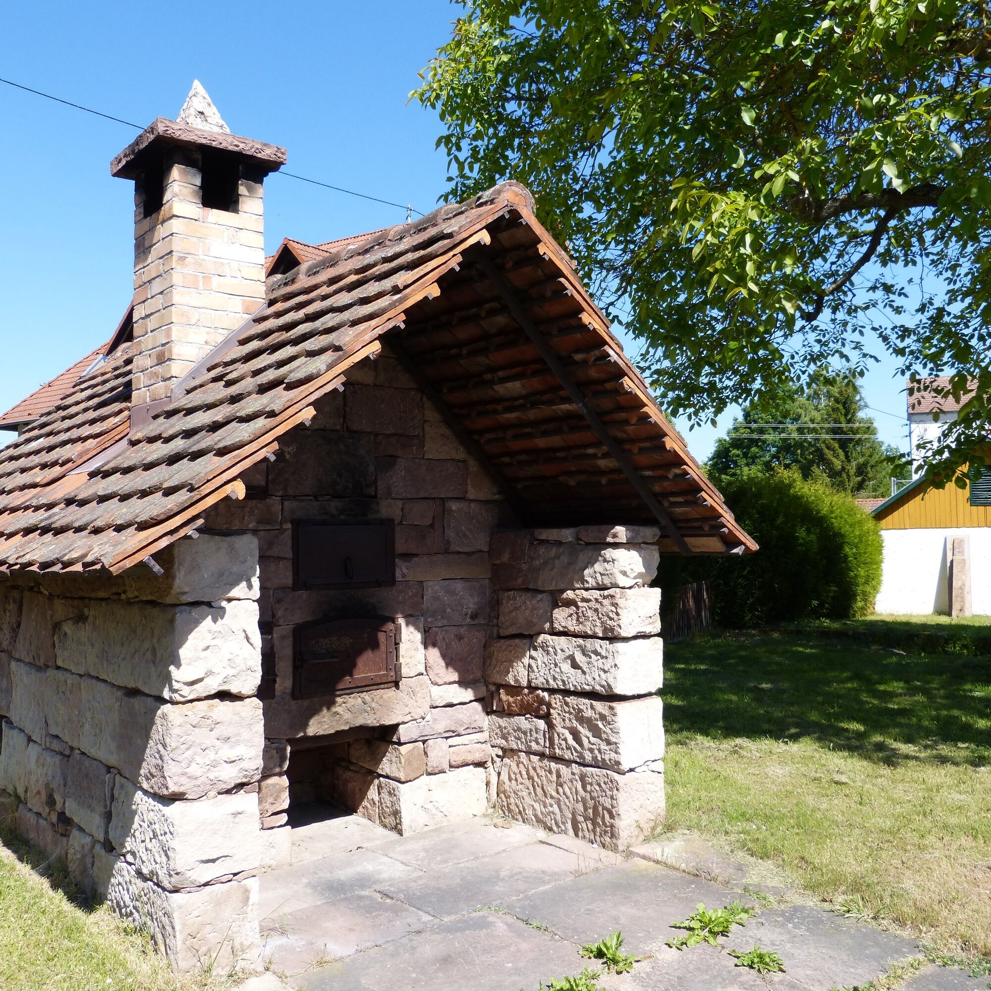
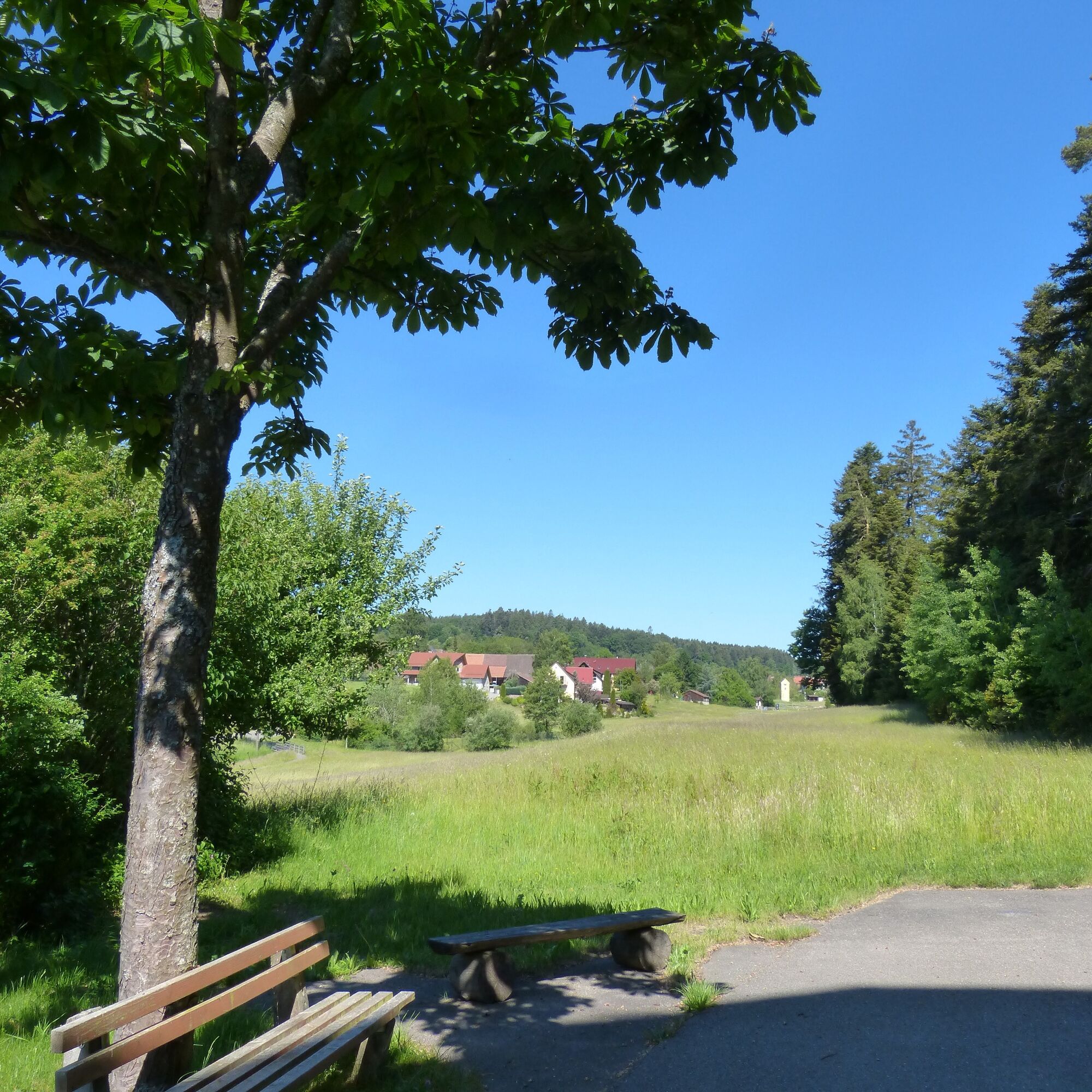
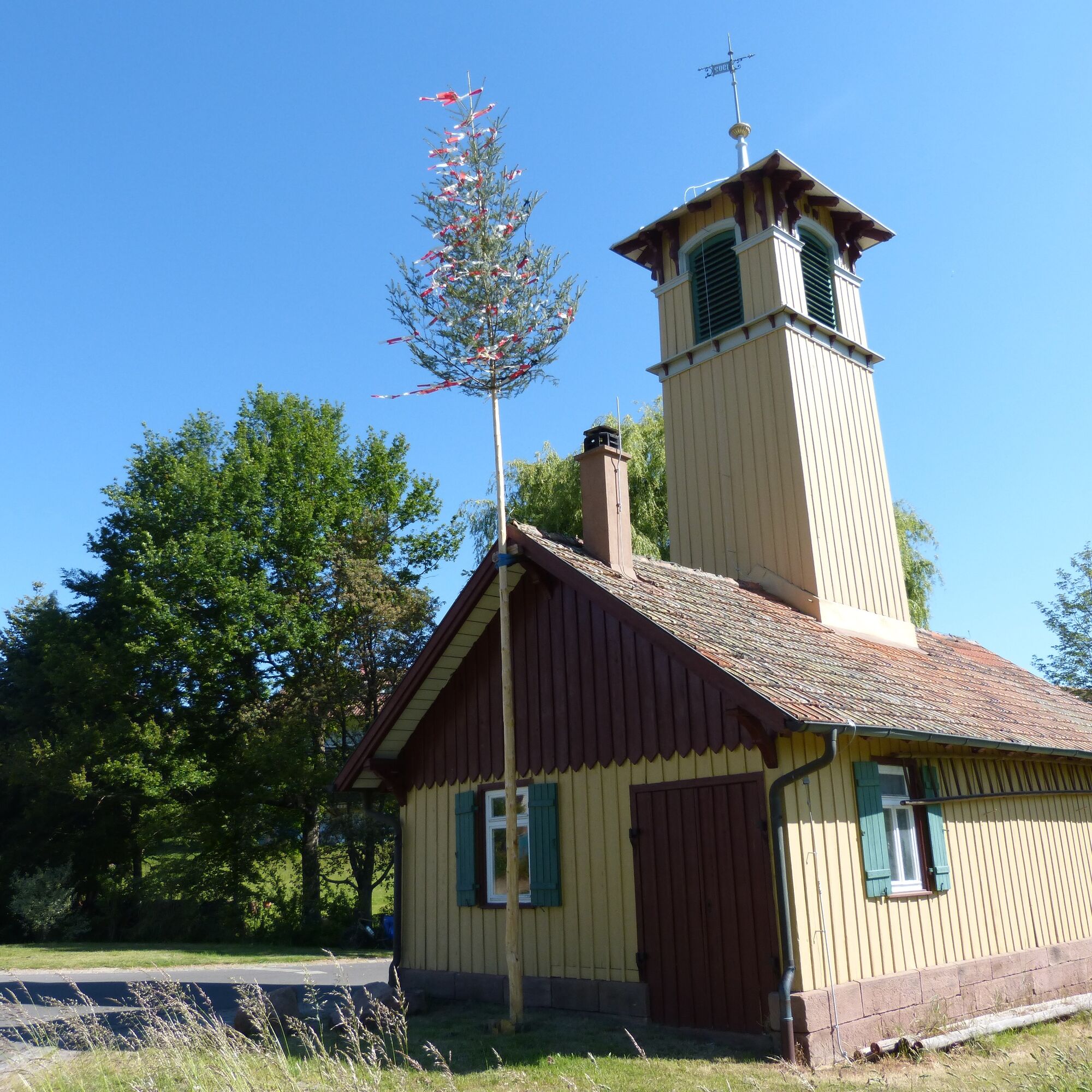
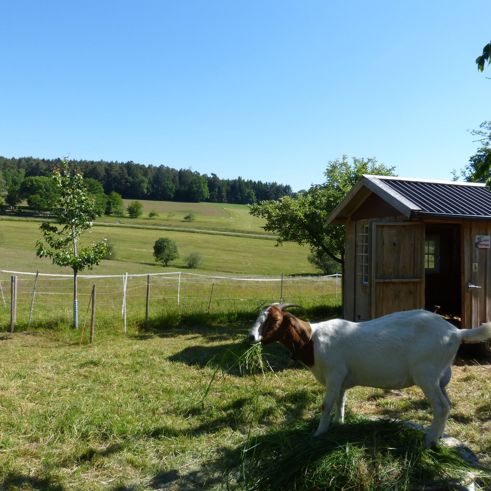
Over gentle hills and sunlit mixed forests, the FREI.GANG leads through the two Altburg districts Speßhardt and Weltenschwann. In the village idyll of the two districts, you can discover some little gems along the way. For example, the “Speßhardter Dom,” a lovingly restored bell house by the Rötelbach, or the Old Schoolhouse in Weltenschwann, where you can enjoy a picnic by the Rötelbach in the shade of the chestnut trees.
The section to Spindlershof is a popular high trail, where a little enchanted world lies at our feet.
Path characteristics:
The FREI.GANG runs on partly paved, partly gravel paths. In the forest, you walk on wide, well-maintained forest paths. After the Old Schoolhouse in Weltenschwann, you turn onto a root-covered natural path through the forest, which still offers enough room to pass.

The FREI.GANG follows the yellow diamond along the following signpost locations of the Black Forest Association:
Sports ground, Altburg, Kirchweg, Heerweg, Spindlershof, Birkenwäldle, Bäckergässle, Oberriedt, Anplätz, Speßhardt, Hausäcker, Weltenschwann, Sports ground
Áno
Áno
The FREI.GANG runs on partly paved, partly gravel paths. In the forest, you walk on wide, well-maintained forest paths. After the Old Schoolhouse in Weltenschwann, you turn onto a root-covered natural path through the forest, which still offers enough room to pass.
Arrival by car:
Autobahn A8 from Karlsruhe: Exit Pforzheim-West (approx. 30 km); continue on federal road 463 towards Calw. Via the K4325 you reach Calw-Altburg via Calw-Wimberg. Autobahn A8 from Ulm/Stuttgart: Exit Leonberg (approx. 25 km), continue on federal road 295 towards Weil der Stadt to Calw. Continue via K4325 to Calw-Altburg. Autobahn A81 from the south / Lake Constance: Exit Gärtringen-Stadtmitte (approx. 20 km), continue on K 1075; near Deckenpfronn, take the first exit at the roundabout and continue on B 296 towards Calw. Via K4325 you reach Calw-Altburg.Plan your arrival by car at www.map24.de
Arrival by train:
Route Pforzheim - Calw - Horb - Tübingen (Kulturbahn). Long-distance train connections (EC, IC, ICE) are best accessible in Karlsruhe with connecting trains via Pforzheim (Kulturbahn, line 774). If arriving via Stuttgart, we recommend continuing with the S-Bahn S6 Stuttgart - Weil der Stadt with a transfer to bus line 670 to Calw.Plan your arrival at http://reiseauskunft.bahn.de/bin/query.exe/d
Arrival by bus:
Greater Stuttgart area bus line 670 DB Bahn Regiobus / Volz; (Calw-Weil der Stadt) connection to the S6 Area Böblingen / Sindelfingen: Bus line 763 DB Bahn Regiobus; Calw-Böblingen (connection to the S1)From the central bus station Calw (ZOB) you can reach Altburg with bus line 6302. It is recommended to get off at the Lamm stop, from where it is only a few minutes' walk to the Altburg sports ground.
Regiobus line X63 between Calw - Altburg - Bad Wildbad - Bad Herrenalb
Plan your arrival at www.efa-bw.de
Directly at the start of the hike: Parking lot at the sports ground, Speßhardter Str. 42, 75365 Calw-Altburg.
Additional parking options:
Hiking parking lot Schwarzwaldhalle Altburg Parking lot at the cemetery in AltburgIn Altburg, a detour to the Altburger Bohnenberger historical trail is worthwhile.
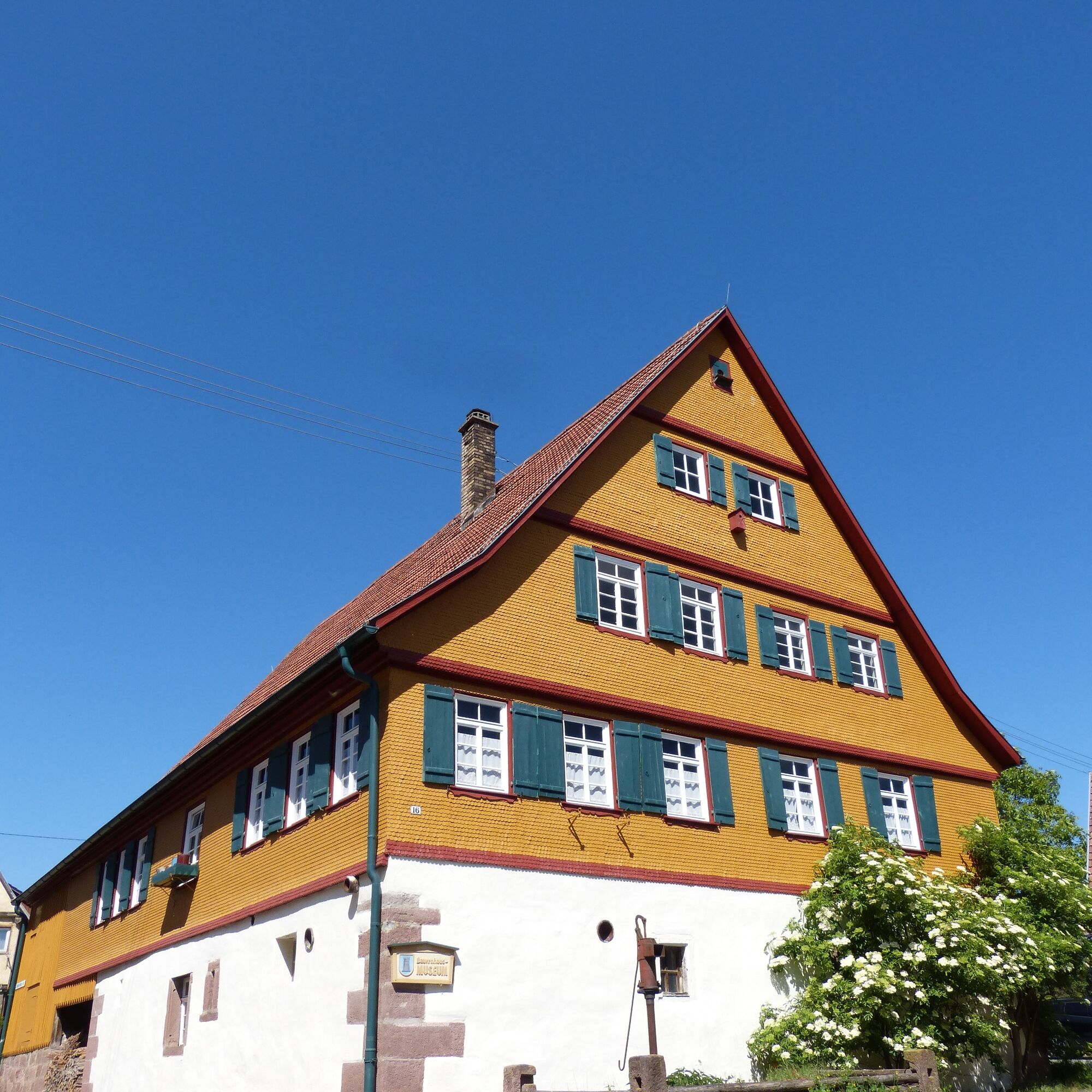
Highlights: Speßhardter Dom, Old Schoolhouse Weltenschwann, Altburger-Bohnenberger historical trail, Bohnenberger Memorial, Altburg Observatory, Altburg St. Martin's Church, Altburg Farmers' Museum.
Získajte prehľad
Vždy naživo na mieste s viac ako 9 500 webovými kamerami. bergfex Ako používateľ Pro si teraz môžete pozrieť príslušné webové kamery pre mnohé zájazdy v aplikácii zájazdy z. Môžete si tak priamo prezerať aktuálne podmienky.
Obľúbené výlety v okolí
-
4,6
Hiking through the Monbach Gorge in search of the kingfisher
strednáTuristika 10,5 km -
5,0
Wild romantic Monbach Valley
svetloTuristika 6,25 km -
4,9
Der Teinacher (Premiumweg & Genießerpfad)
strednáTuristika 12,0 km -
4,0
Wolfsschlucht and Fox Gorge
strednáTuristika 9,74 km -
4,7
Through the wild romantic Schweinbachtal to the Bruderhöhle cave
strednáTuristika 13,8 km -
5,0
Water, Woods and Meadowtrail / Zavelstein > Calw (Premium trail & Genussweg)
ťažkéTuristika 14,4 km -
5,0
From Bieselsberg into the wild Monbach valley - dream route on small paths
ťažkéTuristika 18,0 km -
5,0
AugenBlick route Bad Teinach-Zavelstein Zettelberg
ťažkéTuristika 15,5 km -
5,0
GeoTour Wildberg through the picturesque Lützenschlucht
ťažkéTuristika 2,80 km -
4,0
Circular route Hirsau - Oberreichenbach - Schweinbachtal - Hirsau
strednáTuristika 10,2 km
Turistika a stopovanie


Nenechajte si ujsť ponuky a inšpiráciu na ďalšiu dovolenku
Vaša e-mailová adresa bol pridaný do poštového zoznamu.





