







Natura Trail Hegau - variant 2

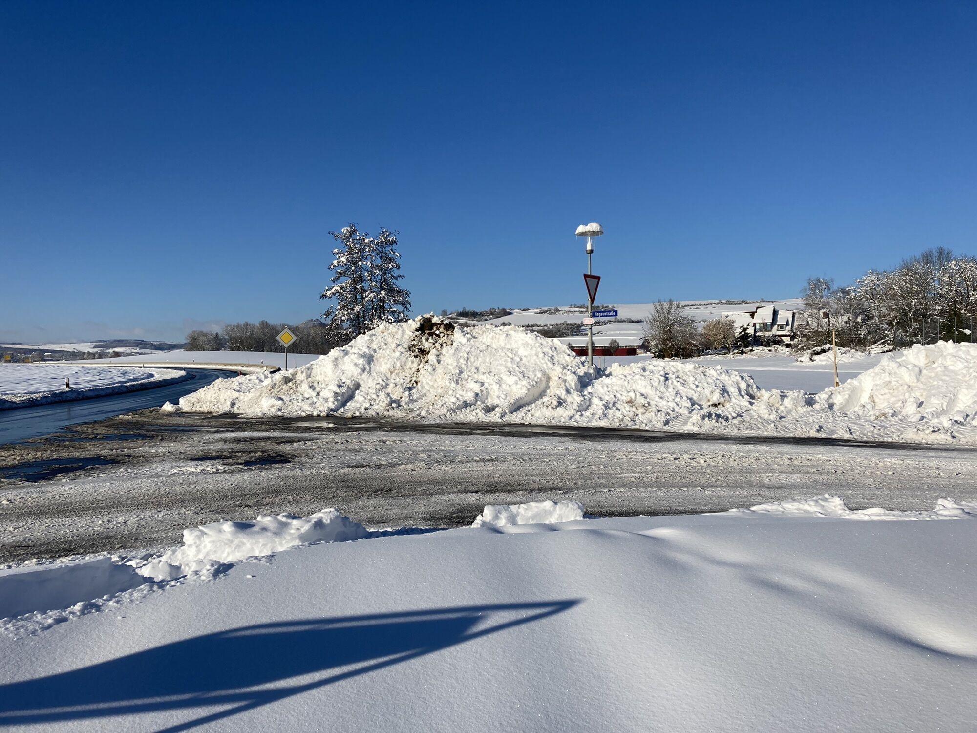
Hegau volcanoes – landscape created from fire and ice
This Natura Trail runs through the FFH area western Hegau, the bird protection area Hohentwiel - Hohenkrähen and the nature reserves Hohentwiel, Hohenstoffeln...
Hegau volcanoes – landscape created from fire and ice
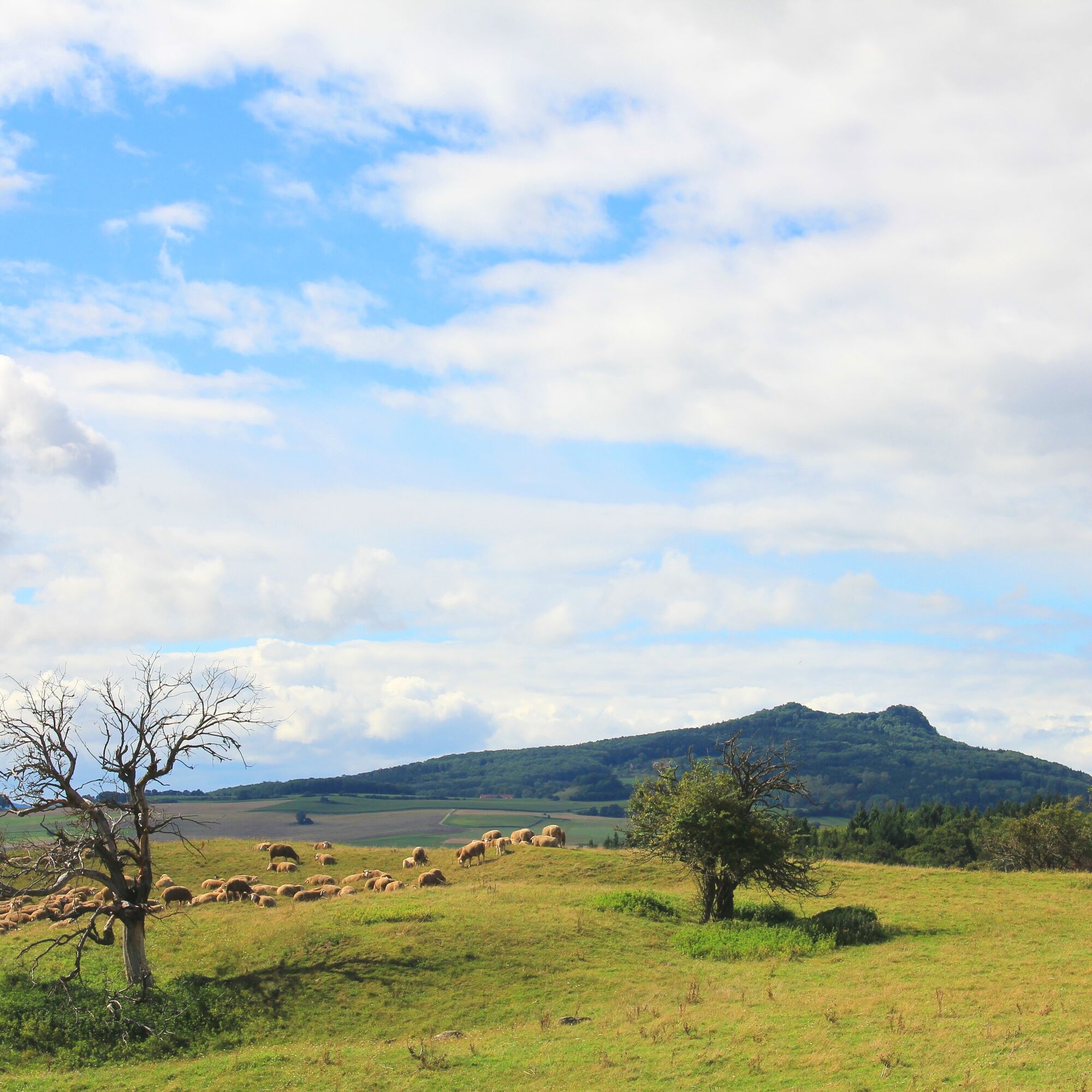
This Natura Trail runs through the FFH area western Hegau, the bird protection area Hohentwiel - Hohenkrähen and the nature reserves Hohentwiel, Hohenstoffeln and Mägdeberg. Due to the great geological differences, the area is characterised by a variety of different habitats:
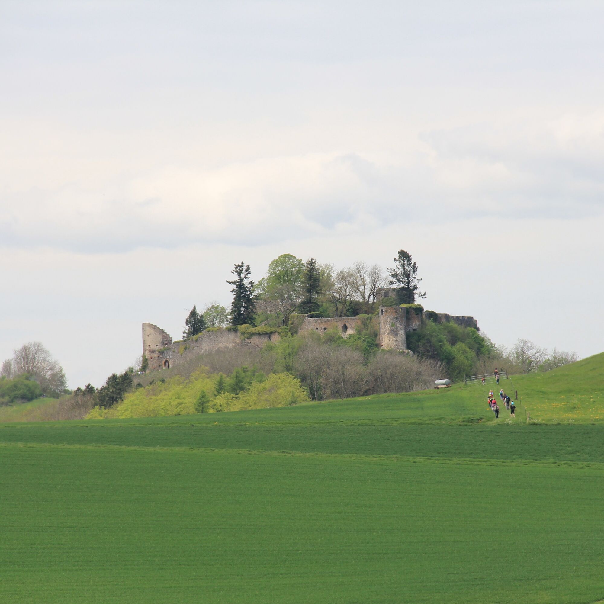
Species-rich nutrient-poor and dry grasslands, warm rock locations and scree slopes as well as warmth-loving slope mixed forests are of particular importance. The hike leads to castle ruins, whereby for visiting these cultural monuments (especially the Hohentwiel) a day or half-day hike should be planned, especially with children.

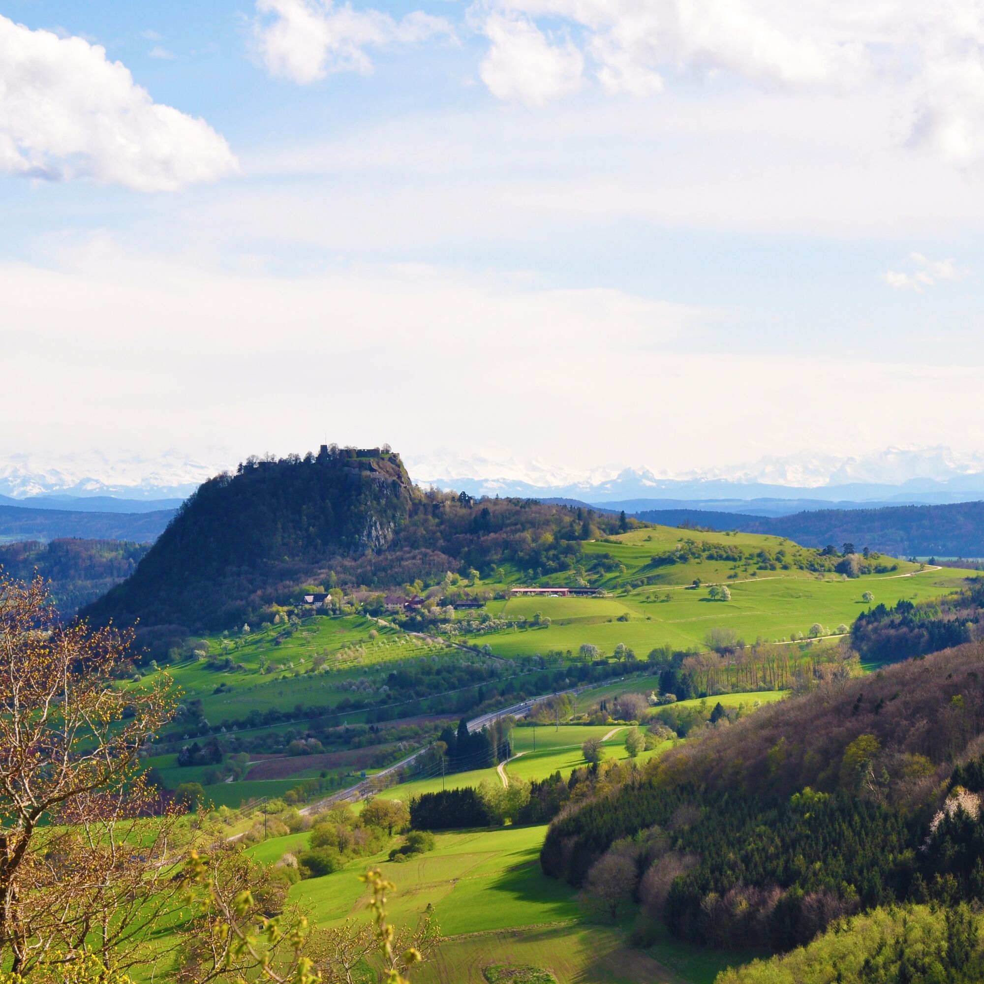

From the Landesgartenschau stop on Schaffhauser Str. heading out of town, turn right into Hohentwielstr. Follow the signposted footpath (Widerholdweg) uphill to the Domäne Hohentwiel.
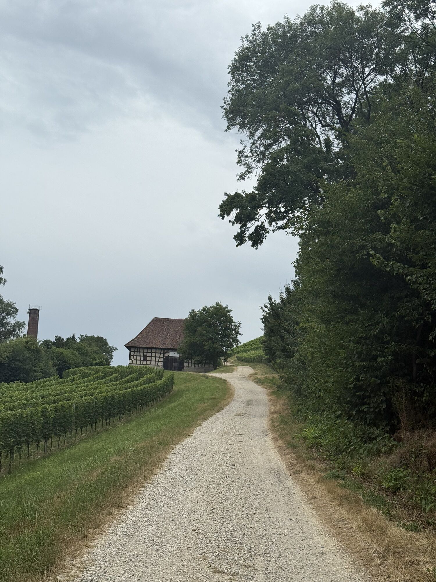
Either we climb the Hohentwiel ruins here or continue directly towards Hohenkrähen past the manor house, after 400m turn right at the last stables down the meadow slope, then left and the next path right over the motorway. Following the path through the forest for about 1.0 km, we hike at Ettenberg on the path to the left and reach a fork after about 500m. Here we turn right to Staufenhof. Past Staufenhof, we go left at Krützenbühlerhof; past the Römersberg farm, the path leads after about 1.5 km to Duchtlingen. In the village, we turn left into Hegaustraße (180° curve) and take the path towards Hohenstoffeln. At the village exit, we cross the main road and keep straight ahead. After about 1 km we reach a biogas plant, then turn left onto the field path and cross the connecting road. Continue straight ahead, ascending the Feldwiesenweg. At the next connecting road, we turn left and after about 250m take the path half-right to Sennhof, which we reach after about 1.5 km. Shortly after Sennhof, we enter the Hohenstoffeln nature reserve. We take the next path to the right and reach the junction after about 500m where we turn left to the summits, which we reach after a further 600m.
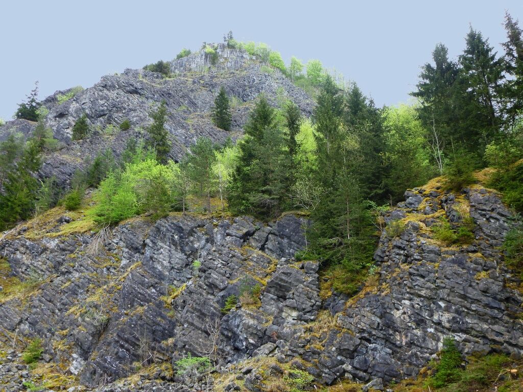
After descending the same way, we keep left towards Weiterdingen. At the basalt quarry, we keep right past the Hohenstoffeln hunting lodge and reach Weiterdingen after about 1.8 km. At the fountain on Binninger Str., we turn left and immediately the next right. Arriving at Welschinger Str., we keep left and at the village exit turn right. Here we follow the connecting road (towards Mühlhausen) for about 800m, then turn right, take the next path again right towards the Hegau Cross and reach this wonderful viewpoint. From here, a narrow path descends and after about 400m turns left into a forest path, where we ascend to Mägdeberg. At the next fork, we keep left and reach the ruins after a short climb. From Mägdeberg, it goes down to Mühlhausen, under the federal road and then left to Mühlhausen station in about one kilometer.
Take the Seehas back to the Singen-Landesgartenschau parking lot.
Áno
Áno
Weather-appropriate clothing and sturdy footwear.
To Singen Hospital
With the Seehas at 30-minute intervals
Parking lot at the Seehas stop Landesgartenschau area
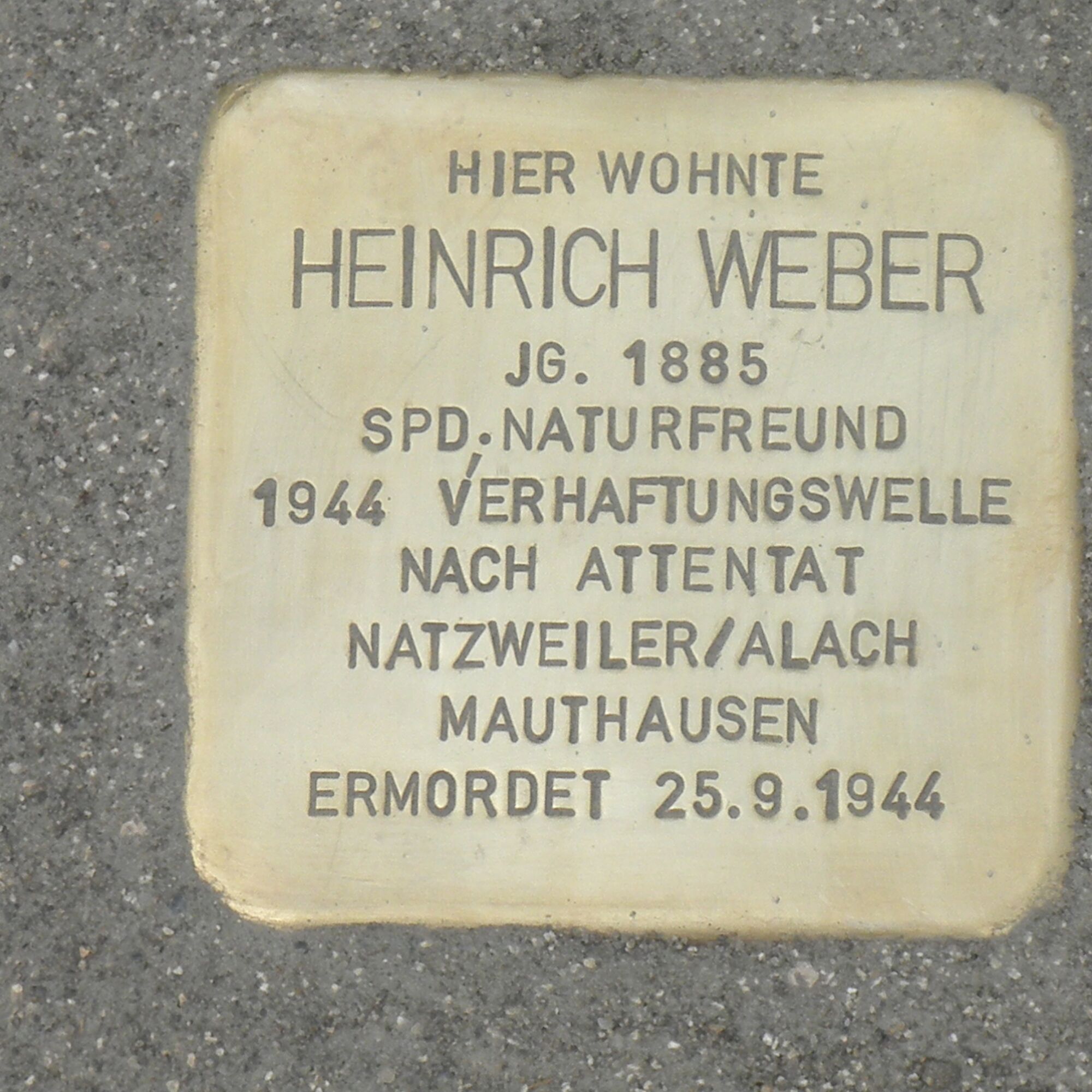
This Natura Trail is dedicated to Heinrich Weber (*11.09.1885 in Freiburg - 25 September 1944 in Mauthausen concentration camp). Heinrich Weber was until 1933 one of the outstanding personalities of the workers' movement in the region. From 1920 to 1933 he was a representative of the Singener SPD in the citizen's committee and at times chairman of the union of stokers and machinists. In his free time, the passionate hiker dealt with scientific questions. From 1923 until its ban by the National Socialists, Heinrich Weber was chairman of the Singener Naturfreunde. The Naturfreundehaus Bodensee in Markelfingen is thanks to his initiative. As part of the "Aktion Gitter", the large wave of arrests following the assassination attempt of 20 July 1944, Heinrich Weber was arrested and deported via detours to the Mauthausen concentration camp near Linz, where he died on 25 September 1944. The Naturfreunde commemorate the 100th anniversary of the founding of the Singen local group with this Natura Trail in honour of Heinrich Weber, a man with social commitment, civil courage and rich knowledge in natural history and geology, who was a friend of his homeland, the Hegau.
Enough time should be planned for the castle ruins, especially with children. Not only for geology enthusiasts, the open basalt quarry at Hohenstoffeln is impressive.
Získajte prehľad
Vždy naživo na mieste s viac ako 9 500 webovými kamerami. bergfex Ako používateľ Pro si teraz môžete pozrieť príslušné webové kamery pre mnohé zájazdy v aplikácii zájazdy z. Môžete si tak priamo prezerať aktuálne podmienky.
Obľúbené výlety v okolí
-
4,7
"Hegauer Kegelspiel" Alter Postweg
strednáTuristika 9,26 km -
5,0
"Hegauer Kegelspiel" Stettener Panoramaweg
strednáTuristika 7,62 km -
3,3
"Hegauer Kegelspiel" Wannenberg hike
strednáTuristika 9,35 km -
5,0
Vulkansee Höwenegg Rundweg
svetloTuristika 7,05 km -
4,5
Nature trail Merishausen: Brown route
strednáTematická trasa 11,4 km -
4,5
SchweizMobil 593: Nordspitze Panoramaweg
strednáTuristika 13,7 km -
Stein am Rhein - Hohenklingen Castle - Stein am Rhein
strednáTuristika 7,79 km -
2,8
"Hegauer Kegelspiel" Hewensteig
strednáTuristika 6,23 km -
5,0
"Hegauer Kegelspiel" Hohentwieler
strednáTuristika 7,21 km -
Aacher Geißbock
strednáTuristika 13,4 km
Turistika a stopovanie


Nenechajte si ujsť ponuky a inšpiráciu na ďalšiu dovolenku
Vaša e-mailová adresa bol pridaný do poštového zoznamu.





