






"Hegauer Kegelspiel" Albertine Steig

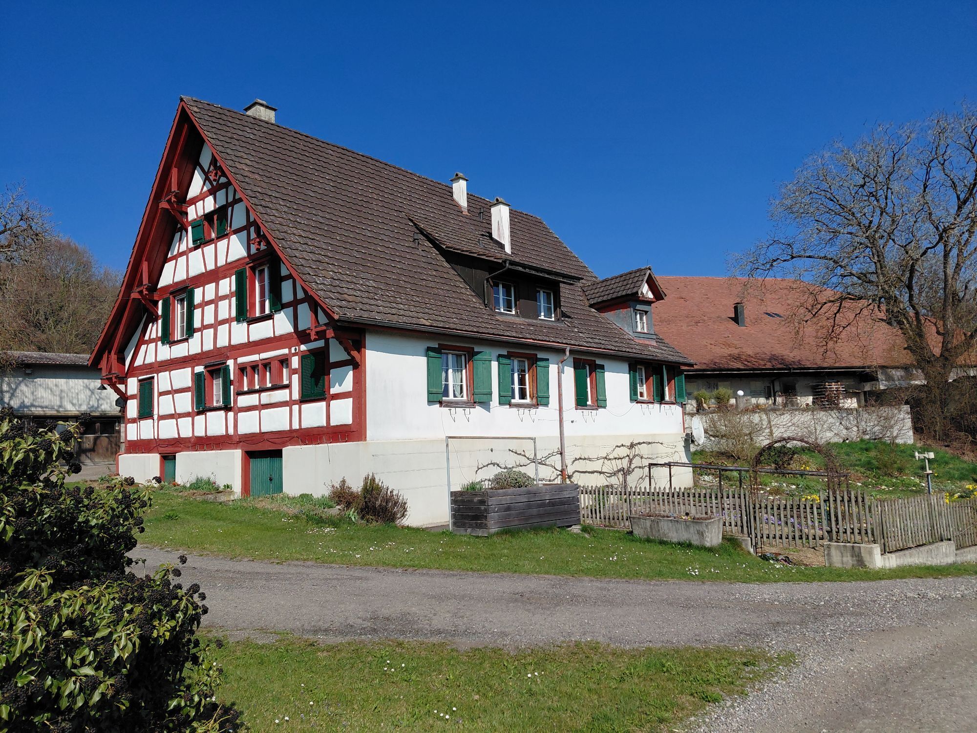
The starting point of the route is located at the edge of the forest and offers a picturesque setting between the green thicket and the gentle rustling of the trees - a place where you can quickly forget...
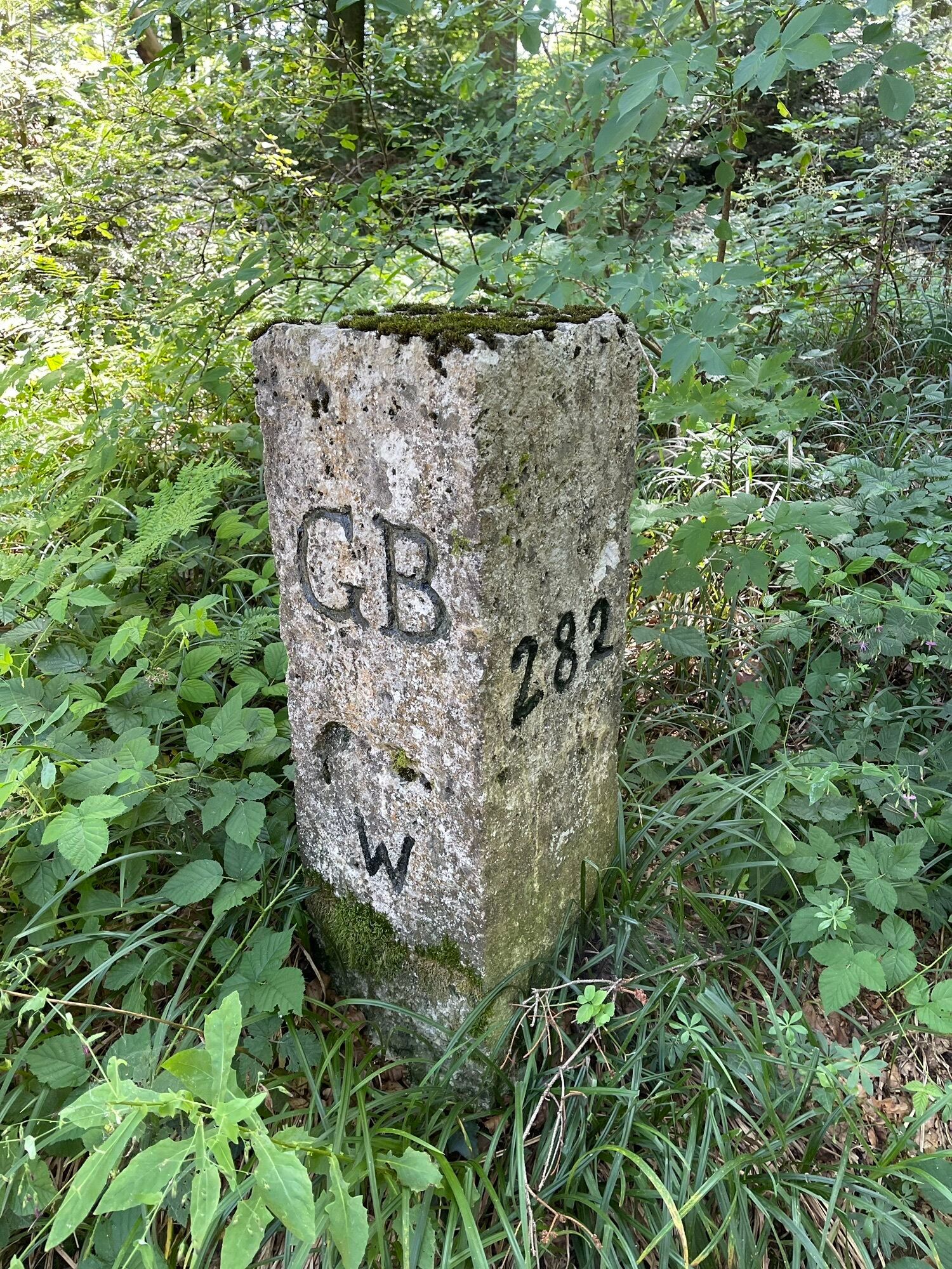
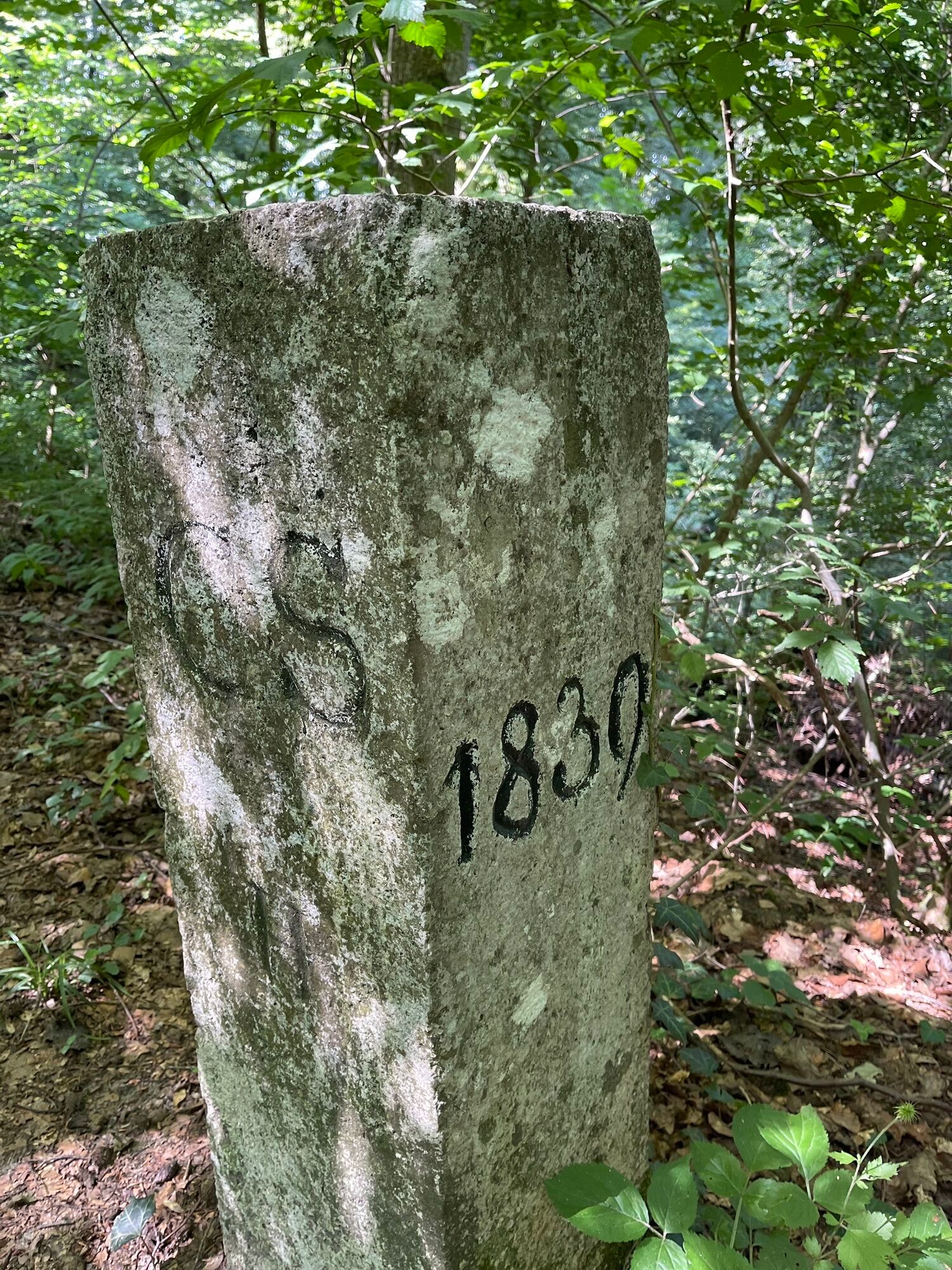
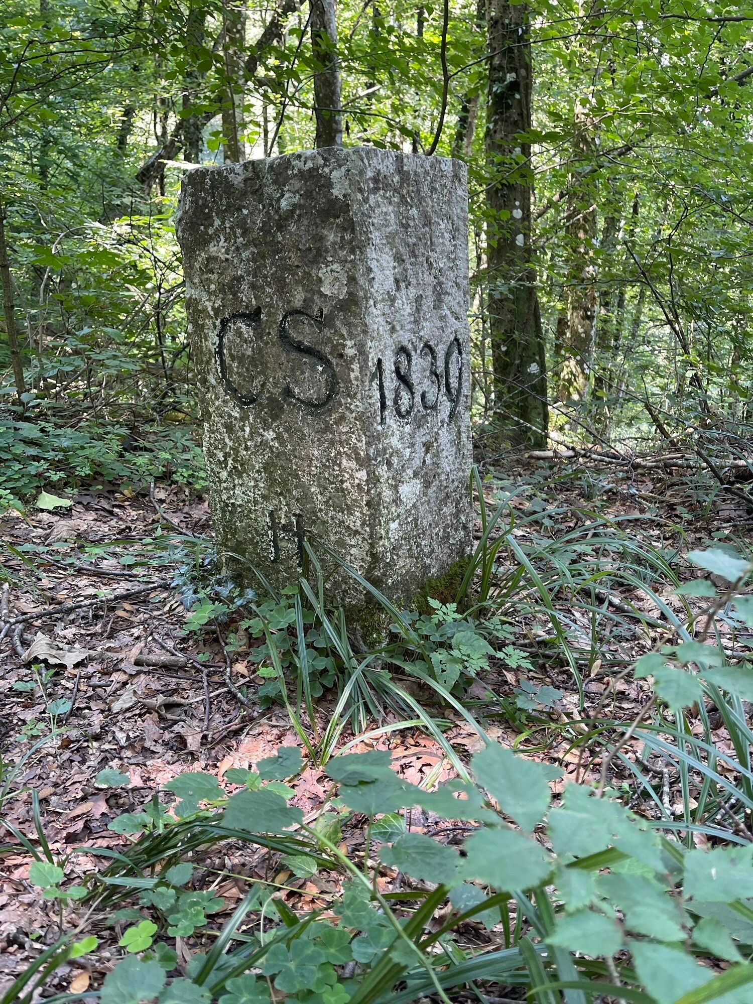
The starting point of the route is located at the edge of the forest and offers a picturesque setting between the green thicket and the gentle rustling of the trees - a place where you can quickly forget the stress of everyday life. After a steep ascent, the route runs over the Schienerberg plateau with regular switches between Germany and Switzerland. Along the way, breathtaking views of the Hegau volcanoes open up again and again, especially from the Herrentisch. The premium hiking trail presents the Hegau at its best - the volcanic cones line up like pearls on a string.
The Albertine Steig is meant to commemorate the story of Albertine Schuhmacher. Albertine Schuhmacher was born in 1893 and emigrated to America with her fiancé in the early 1920s. The relationship broke up and Albertine returned to her homeland with the help of her brother. From that point on, Albertine lived a completely withdrawn life on the Brandhof. Once a month she made her way to Bohlingen to buy groceries. Eyewitnesses report that she was dressed in black, bent over, and carrying a sack on her back when she was let in through the back door of the grocery store. Until the mid-1980s, the 90-year-old woman managed to walk down and up the Schienerberg. Sometimes she could also ride a tractor with the owners of neighboring farms. Disappointed in love, she became a recluse who did not despair at life despite her difficult circumstances. Albertine lived to be 93 years old.

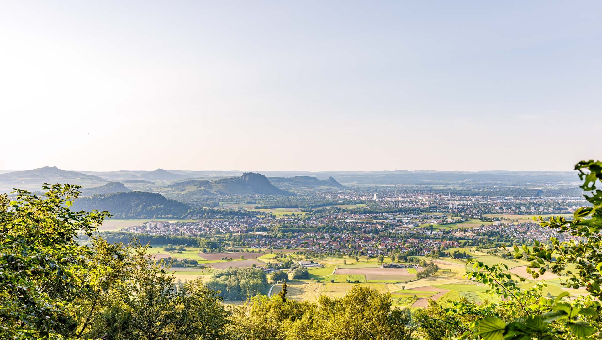
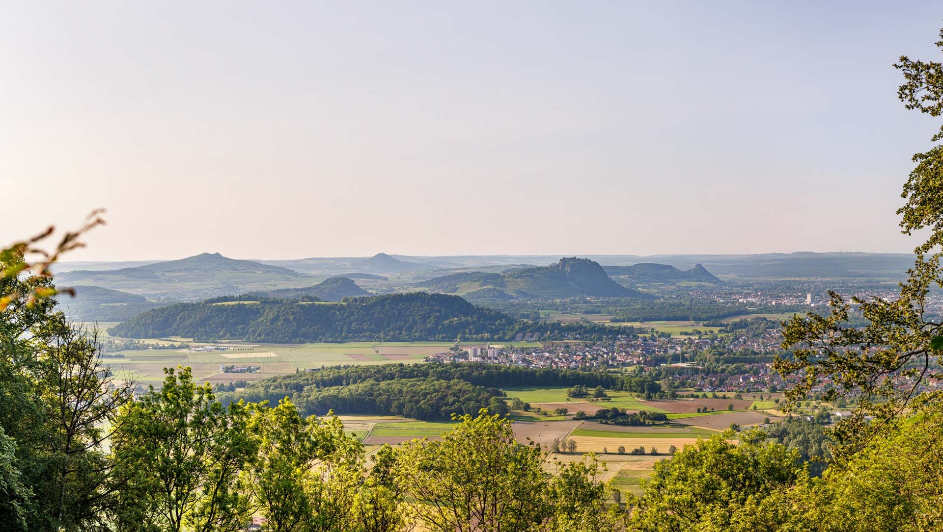
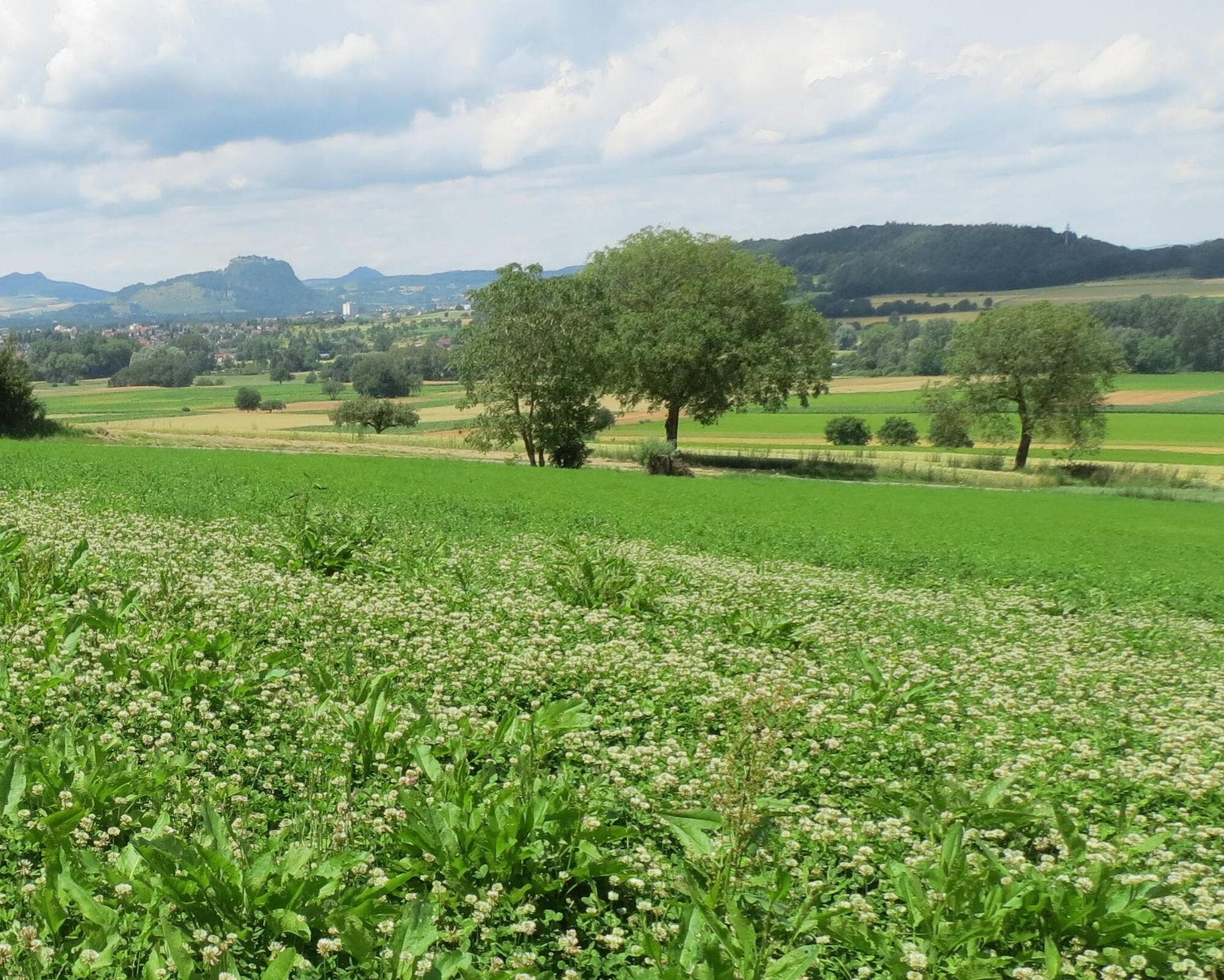

The hiking trail begins at the main entrance at the Albertine Steig parking lot at the foot of the Schienerberg. After crossing the gravel service road, the premium hiking trail leads opposite into the forest. It soon leaves the forest again and turns right onto the Heerenweg. After a longer stretch through open fields, the path passes a field cross and then turns right onto the second path towards Schienerberg. At the edge of the forest, turn right again onto a meadow path to the start of the Stationsweg. From there, the Stationsweg leads up to the Schienerberg. After the long ascent, the hike becomes a rather relaxing walk on the Schienerberg plateau. At Bühlarzhof and Brandhof, the border to Switzerland is crossed. After passing Unterwald, there is a shorter section through the forest again. In Oberwald, a small inn invites you to take a break. The path continues along the border to the edge of the forest. There, the path turns uphill to the right. Over the Hirschenbrünneli, the path leads to the Chroobachhütte. Here, a panorama of Hegau of special beauty opens up. The path now continues eastwards on the Firstweg to the Herrentisch. As at the Chroobachhütte, a barbecue area also invites you to take a longer break there. Here again, the Hegau shows itself at its best. Like a string of pearls, the Hegau volcanoes present themselves up to the Hegaublick. The further course of the path directly on the border alternates several times between Germany and Switzerland. The next intermediate destination is Maria Tann. There, too, a seating area invites you to rest. From Maria Tann, the hiking trail now runs downhill to the forest edge and back to the starting point of the path, to the Albertine Steig parking lot.
Áno
Áno
Weather-appropriate clothing (sun protection/rain protection)
Good footwear
Drinks and food
Please keep an eye on your children on the section between Herrentisch and Maria Tann. There you will encounter a steeply sloping mountainside.
Access via Bohlingen on the Heerenweg towards Hittisheim to the Albertine-Steig hiking parking lot.
Access to the parking lot at Naturbad Aachtal in Worblingen. About 1.5 km access path to the start point.
Free parking at the start point Albertine-Steig hiking parking lot.
Additional free parking at Naturbad Aachtal in Worblingen (approx. 1.5 km walk to the start point).
Áno
Attention; you are moving in the border area to Switzerland and partially in Switzerland. Please be aware that your mobile phone may connect to the Swiss network via roaming, which can lead to significant costs as Switzerland is not an EU country.
For relaxed break options, the Hofgut Oberwald is recommended (observe opening hours!).
Alternatively, hikers can enjoy their own snack on several benches along the path or take longer breaks at the Chroobachhütte barbecue area.
Obľúbené výlety v okolí
-
5,0
Mindelsee-Runde
svetloTuristika 7,83 km -
4,0
Around the island of Reichenau
svetloTuristika 10,9 km -
5,0
Hike on the panorama route of the Höri Peninsula
strednáTuristika 8,11 km -
4,0
Circular hike Gaienhofen-Middle Höri
strednáTuristika 12,6 km -
4,5
Mühlsberg route
strednáTuristika 8,67 km -
3,7
Firstweg Langenmos
strednáTuristika 5,76 km -
Stein am Rhein - Hohenklingen Castle - Stein am Rhein
strednáTuristika 7,68 km -
SchweizMobil 2: Rhine Route stage 6 (Kreuzlingen - Schaffhausen)
strednáCyklistika 47,0 km -
5,0
"Hegauer Kegelspiel" Hohentwieler
strednáTuristika 7,21 km -
5,0
From Konstanz around the island of Reichenau (Lake Constance)
strednáCyklistika 28,7 km
Turistika a stopovanie


Nenechajte si ujsť ponuky a inšpiráciu na ďalšiu dovolenku
Vaša e-mailová adresa bol pridaný do poštového zoznamu.





