







Upper Hornweg

Úroveň náročnosti: 1
Todtnauberg is an easy winter walk through beautiful snow-covered woodland. Halfway through the walk, on the south-west side of the Horn, there is a hip-roofed seating area built by the 'Liebenswertes...
Todtnauberg is an easy winter walk through beautiful snow-covered woodland. Halfway through the walk, on the south-west side of the Horn, there is a hip-roofed seating area built by the 'Liebenswertes Todtnauberg' association. From here you have a stunning view of the Belchen, the third highest mountain in the Black Forest. You can also enjoy panoramic views of the Wiesental valley.

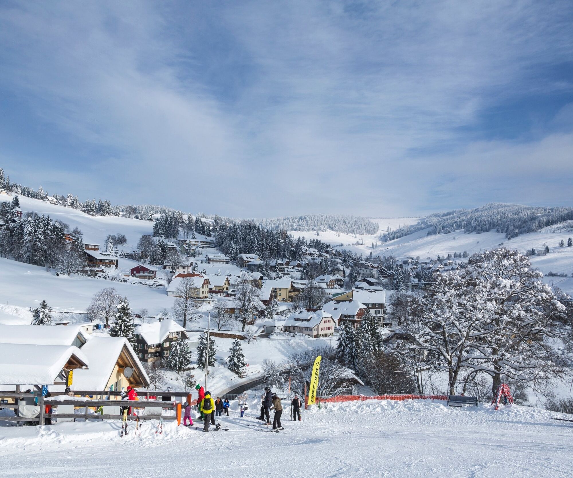
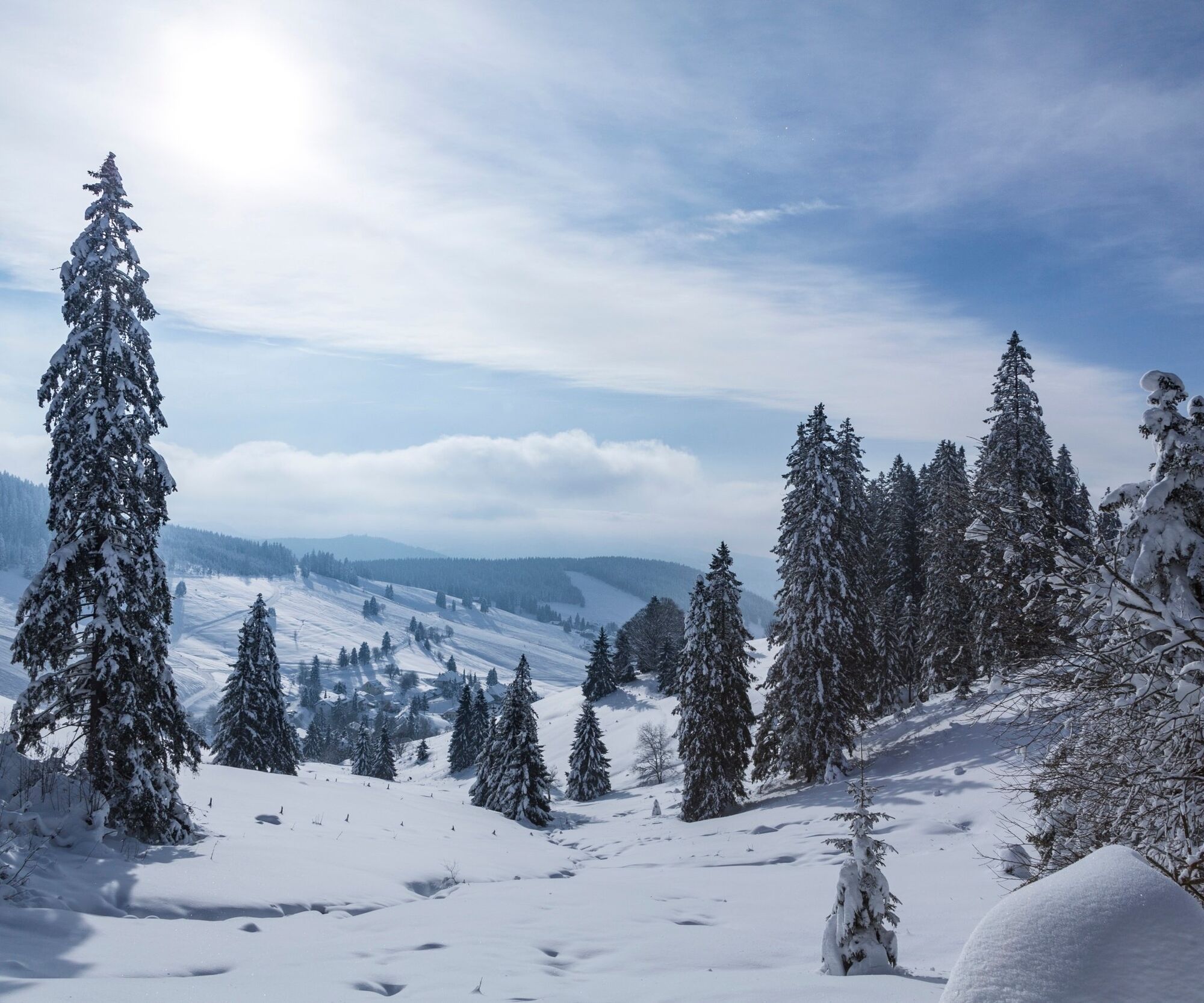
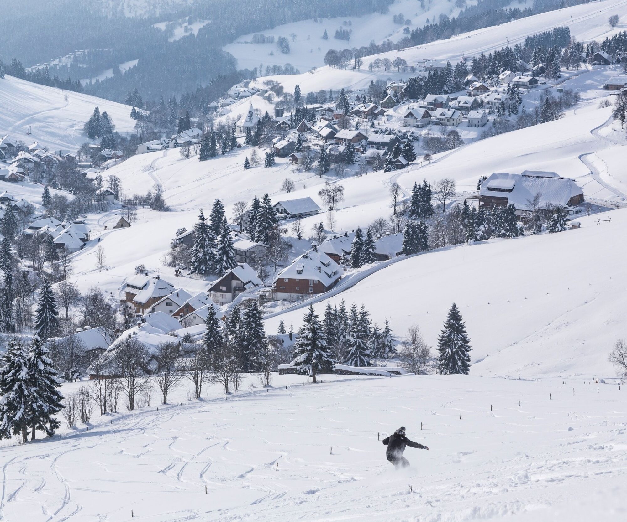

Start your hike at the Radschert car park and follow the Oberer Hornweg path for about 1.5km through a spruce forest. Eventually you will reach the south-west side of the Horn, where you can sit under the hip-roof and enjoy the magnificent view over the Wiesental and the Belchen. Continue towards the 'plain'. The path now descends slightly and after a few hundred metres you reach the Todtnauberger riding arena. From here it is only about four hundred metres to the end of the trail, the Hornweg. At the end of the path you can turn around and walk back towards Radschert or follow the Hornmattweg winter footpath to the Radschertstraße and from there walk back to Radschert. Of course, you can also take a short detour through the centre of Todtnauberg and then back to Radschert.
Áno
We recommend winterproof equipment.
1
Webové kamery z prehliadky
-
Todtnauberg - Pension Glöcklehof
-
Todtnau - Aftersteg
-
Todtnau - Aftersteg
-
Todtnauberg - Bucklift
-
Talstation Winkellift
-
Scheuermatthof
-
Haldenköpfle - Talstation Lift 2
-
Haldenköpfle - Talstation Lift 1
-
Haldenköpfle - Talstation Lift 1
-
Todtnauberg
-
Todtnauer Hasenhornturm
-
Todtnauer Hasenhornturm
-
Todtnauberg Stübenwasenlift

Obľúbené výlety v okolí
-
4,7
Black Forest Highlands heritage trail - mills and saws in the gorge
strednáTuristika 7,42 km -
4,2
Belchensteig
strednáTuristika 14,8 km -
4,8
Sonnenaufgang und Feldbergsteig
strednáTuristika 11,6 km -
3,8
Premium Hiking Trail- Säbelthomaweg
strednáTematická trasa 11,3 km -
4,9
Todtmoos – Wanderung: Genießerpfad Lebküchlerweg
strednáTuristika 12,8 km -
4,2
Ravennaschlucht
Turistika 6,90 km -
4,7
Premium Hiking Trail - Menzenschwander Geißenpfad
ťažkéTematická trasa 9,78 km -
4,0
Altitude on the Herzogenhorn
strednáTuristika 11,1 km -
3,7
Rundweg zum Todtnauer Wasserfall
svetloTuristika 6,06 km -
3,4
Auf ruhigen Wegen von Todtnauberg nach Todtnau
strednáTuristika 10,2 km
Turistika a stopovanie


Nenechajte si ujsť ponuky a inšpiráciu na ďalšiu dovolenku
Vaša e-mailová adresa bol pridaný do poštového zoznamu.





