



FS100 Ebermannstadt-Muggendorf

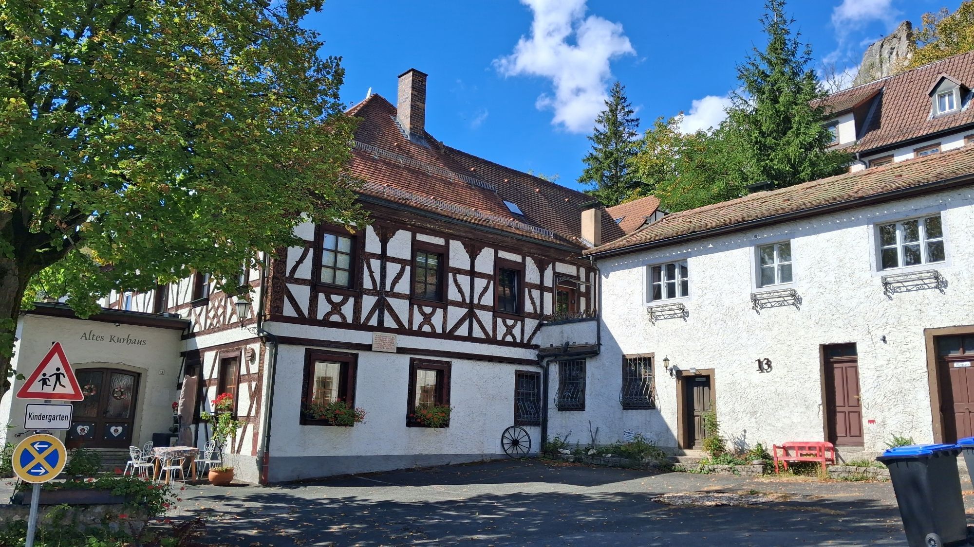
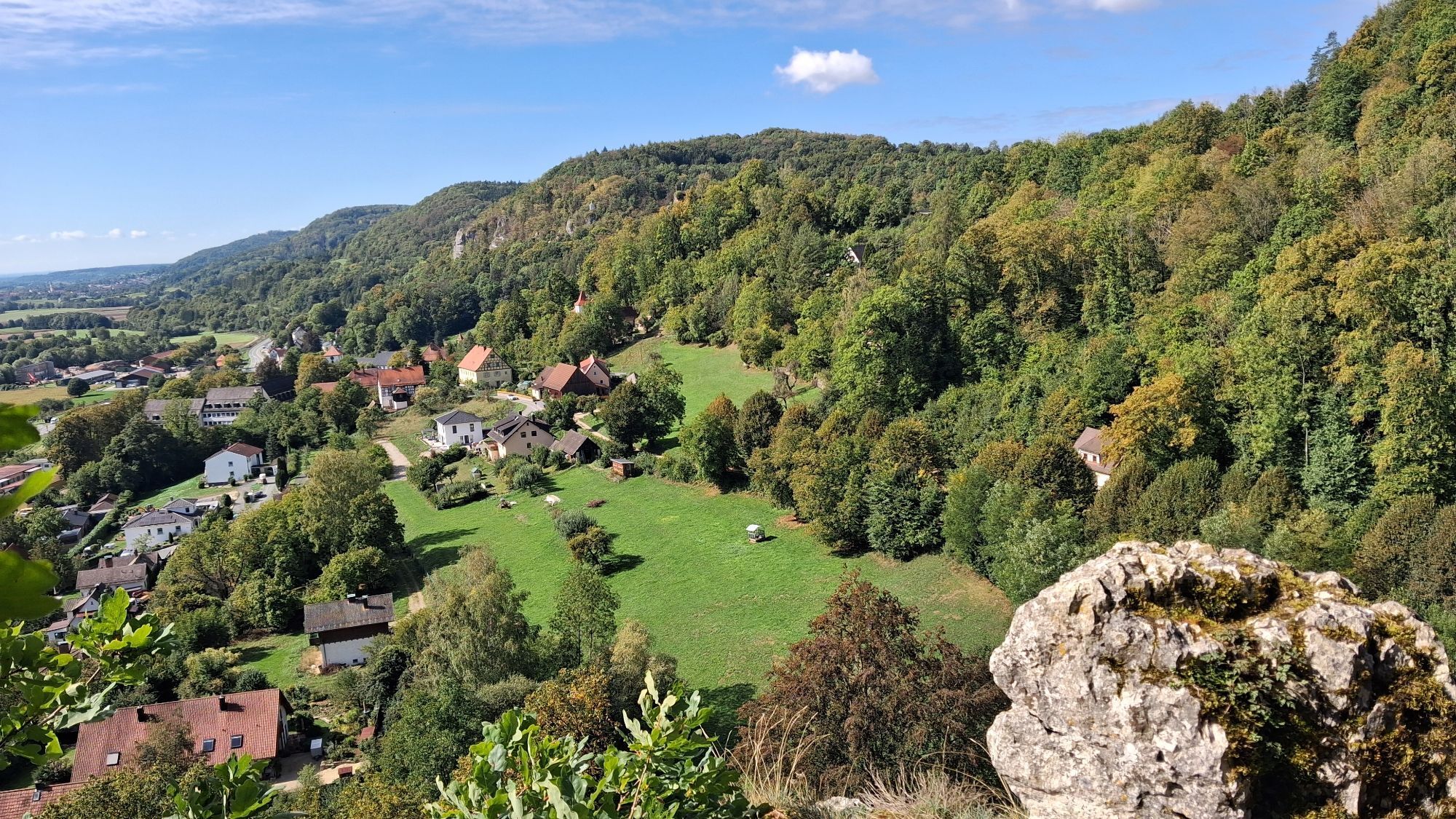
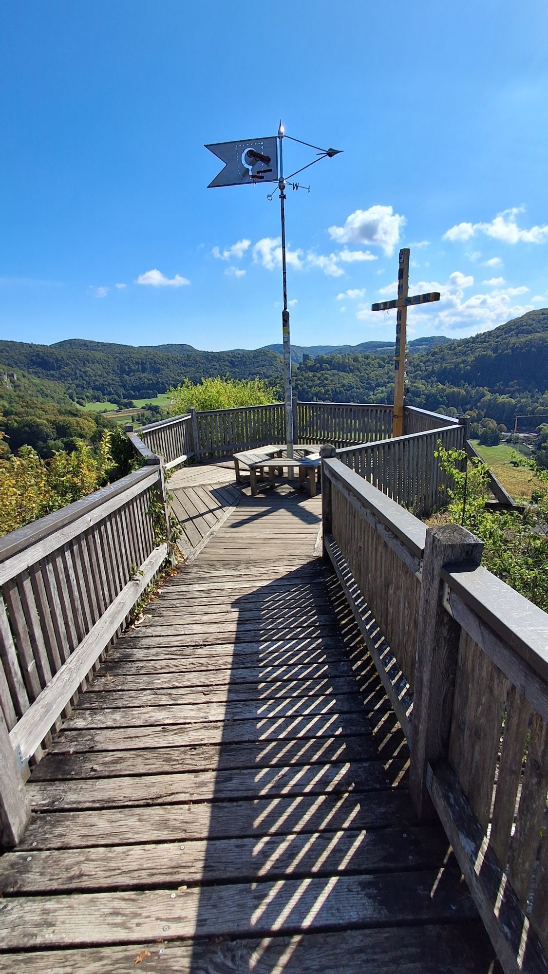
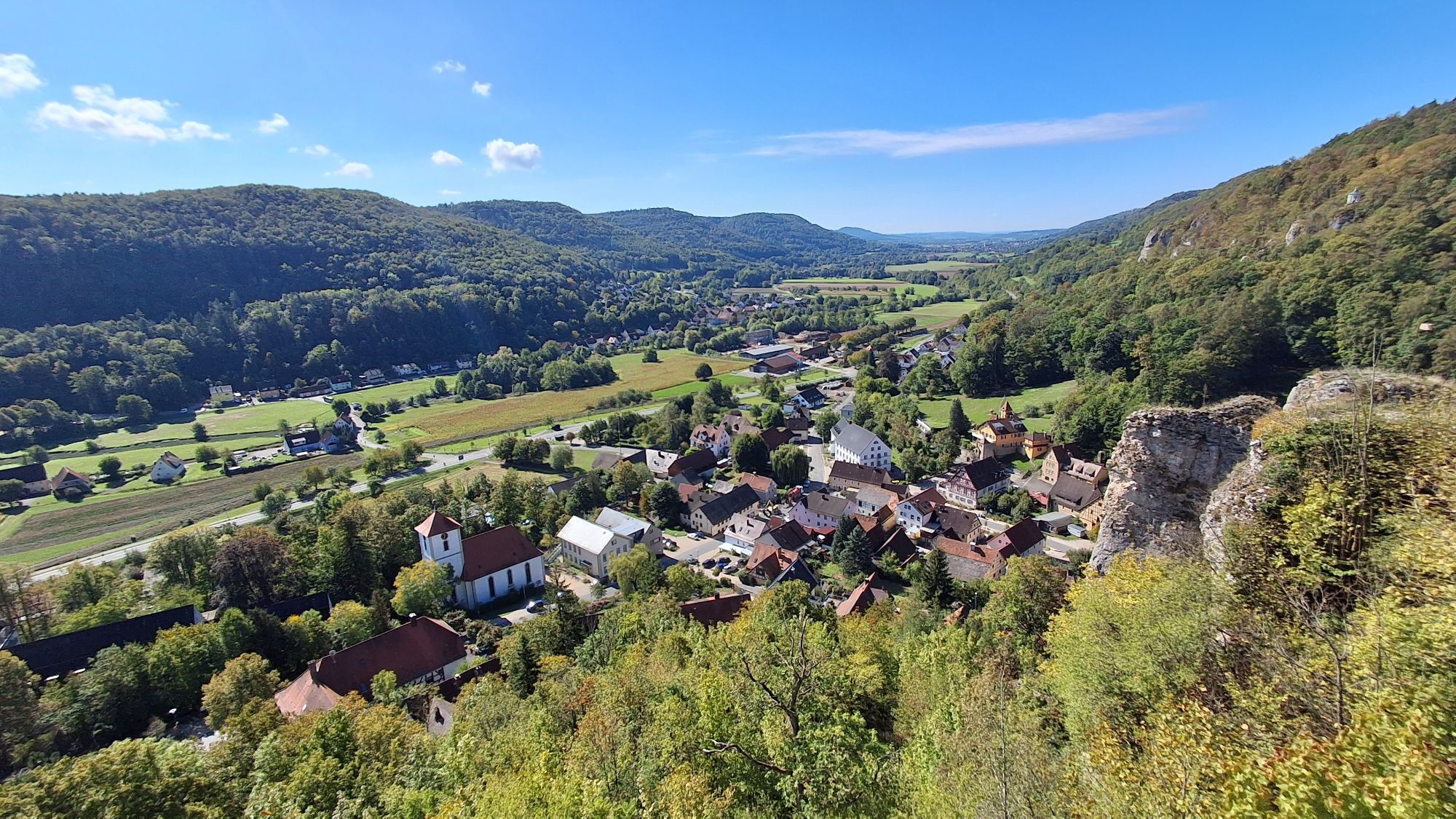
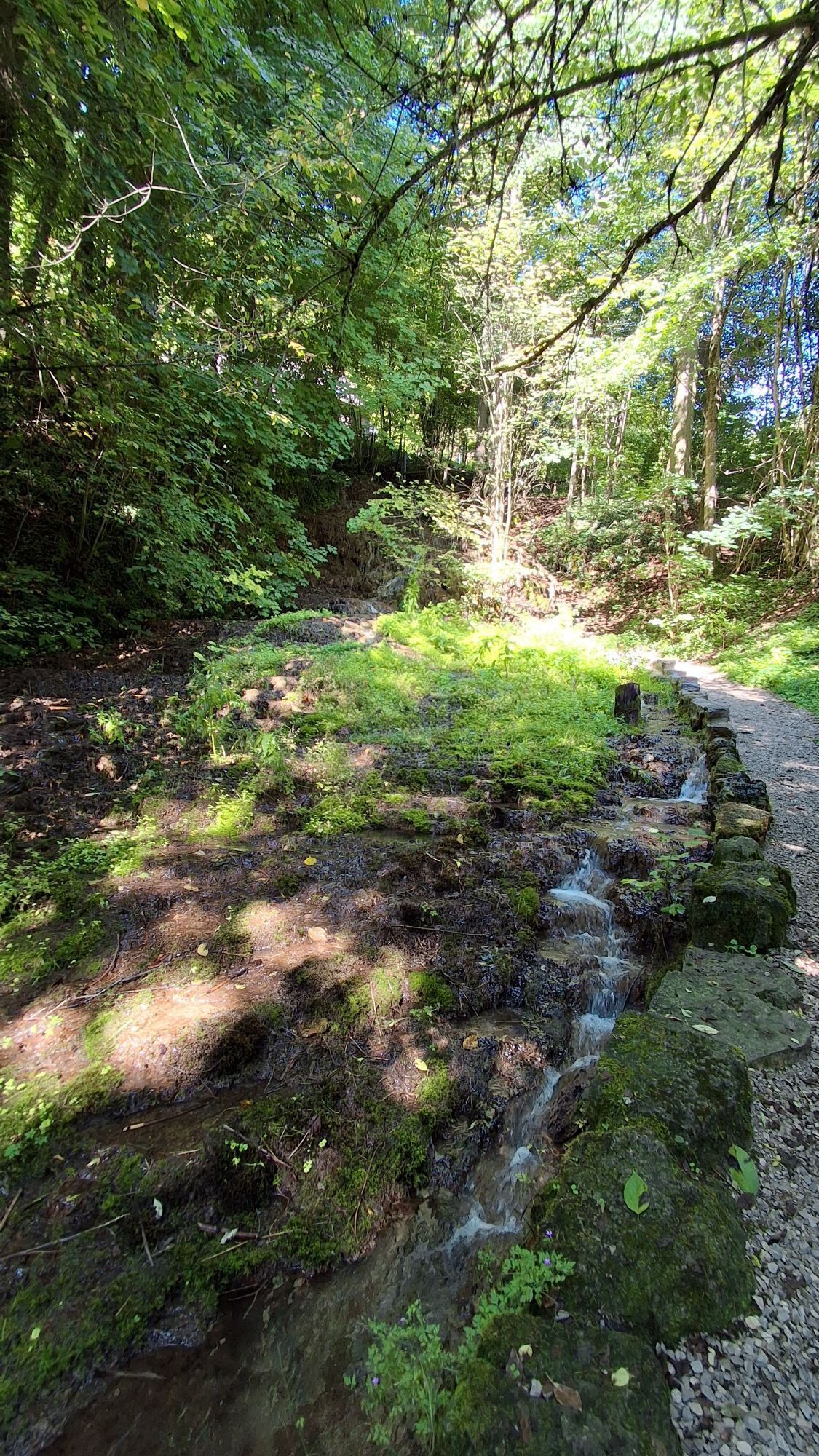
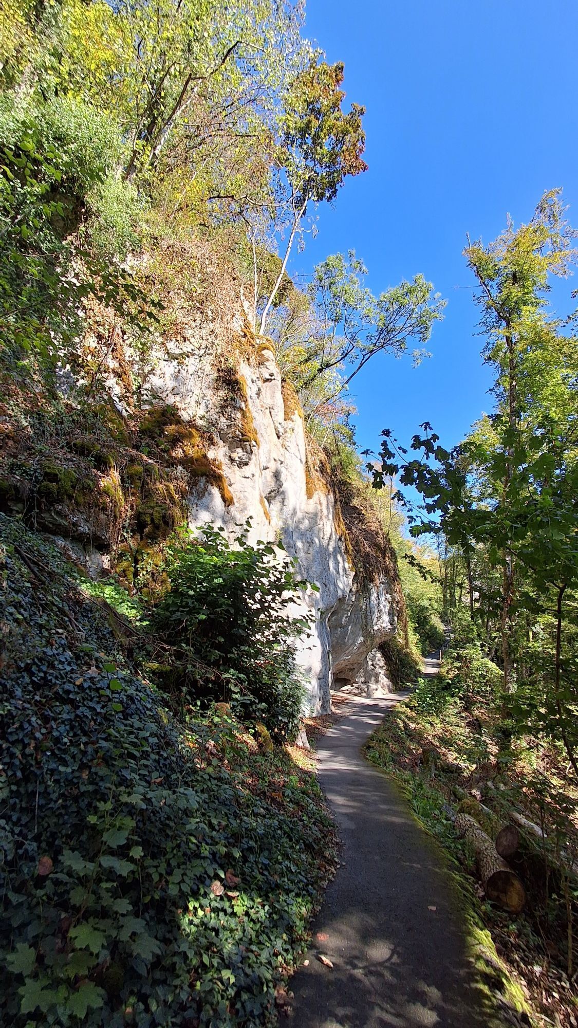
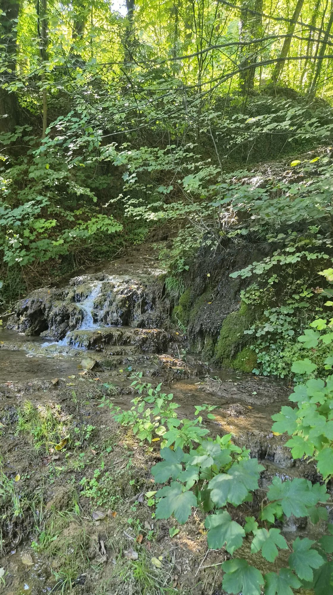
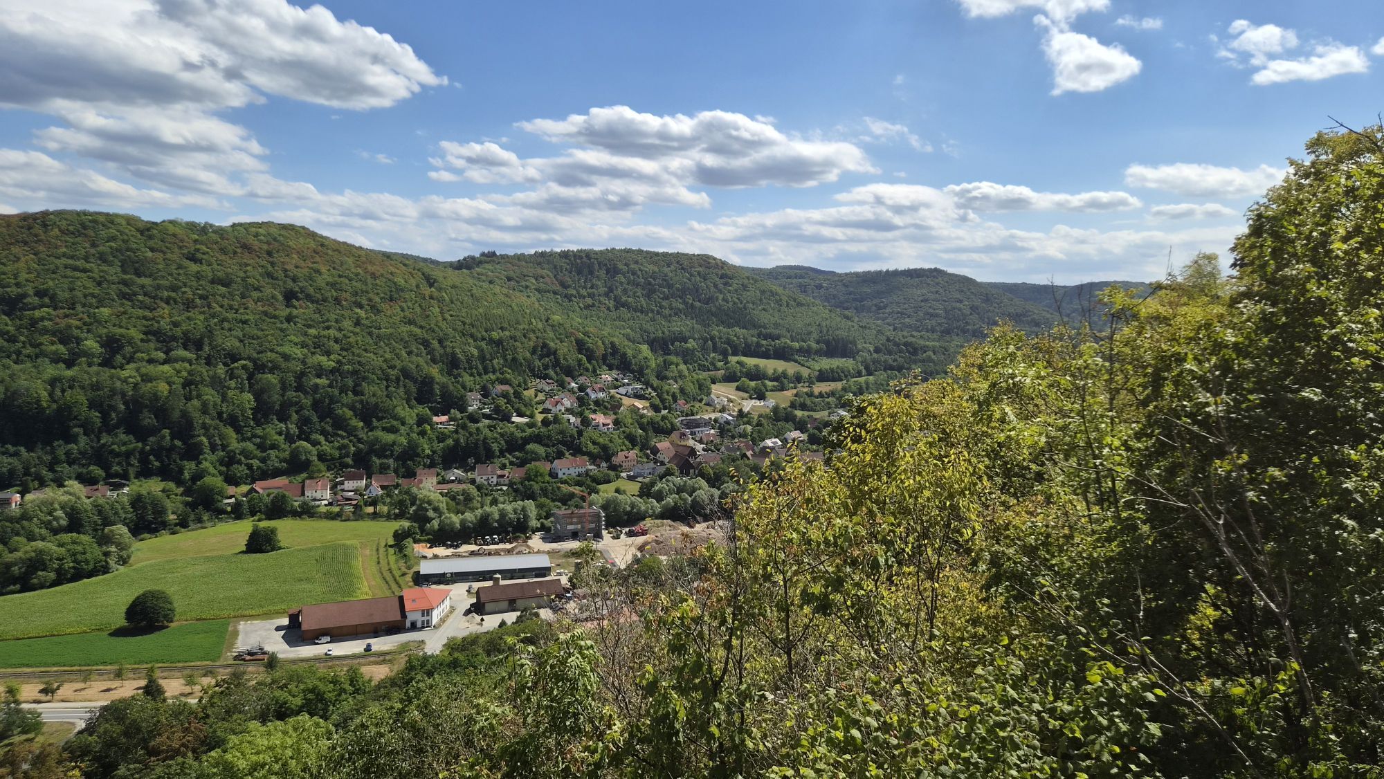


The first stage of the Fränki Swiss 100 circular route starting in Ebermannstadt (with DB train connection) begins at the old sawmills in the barn quarter and initially leads gently directly along the...
The first stage of the Fränki Swiss 100 circular route starting in Ebermannstadt (with DB train connection) begins at the old sawmills in the barn quarter and initially leads gently directly along the bank of the Wiesent stream, following the path of the first tourists from over 200 years ago. The reports on the "Pentecost journey" 1793 by Ludwig Tieck mark the beginning of German Romanticism in literary history. Coming from Erlangen, for the Berlin student Tieck, the increasingly narrowing winding valley behind Ebermannstadt with steep flanks on both sides, partly overhanging rock walls, and in the middle the towering residential tower of the medieval Neideck Castle was the ideal type of a romantic German landscape. After Streitberg (the Bing cave had not yet even been discovered!) he traveled further towards the Fichtel Mountains, while the FS 100 route leads us directly and deeper into the heart of the "Muggendorf mountains" (as this region was called in Tieck's time) – namely to Muggendorf.



Follow the Mühlenstraße out of town and the hiking route between river and tracks to Ebser Mare. There, cross the hamlet of Rothenbühl on the driveway and continue straight on the - lightly trafficked - road to the hiking parking lot. Turn right here and moderately ascend on the forest road up to Niederfellendorf, cross the steep paved road and steeply climb on path trails towards Neideck (detour to the residential tower). From there, descend on a narrow path, past the family swimming pool, cross the village street, river, railway tracks, and B 470, continue through the center of Streitberg directly to the entrance of the Bing cave. Down into the Schauertal and back up to the former Streitburg (detour to the viewing platform). On a narrow path on the western slope of the castle (with climbing routes on the vertical rock) descend again into the village and continue on the Muschelquellenweg to the spring with a Kneipp facility right at the much-climbed vertical south wall at the end of the valley.
Continue on the Franconian Way and ascend left over Amsel Ruh (with views to Neideck) to the high path towards Muggendorf. Descend right and through the rock formation of the Müller Rock down the rock path, then keeping left ascend again to the high path into the Long Valley. Cross this on the switchback path again to the Jura plateau and continue on the Franconian Way, past the viewing rock Brünhildenstein to the Muggendorf Schmiedsberg, which leads directly down to the town center with the old Laurentius Church.
Áno
Shoe soles with good tread, poles helpful.
Partly steep ascents and descents on narrow paths!
DB train station Ebermannstadt
A detour from the route to the rock spur and up to the viewing platform of the Neideck residential tower is a MUST!
Obľúbené výlety v okolí
-
4,7
Ahorntal Burg Rabenstein
strednáTuristika 11,2 km -
4,7
Muggendorf, Oswaldhöhle, Hohler Berg, Riesenburg, König-Ludwig-Felsen, sehr schöne fränkische Rundtour
strednáTuristika 14,5 km -
4,4
Brauereienweg Aufseß
svetloTuristika 13,8 km -
4,7
Höhlenwanderung Muggendorf
strednáTuristika 9,80 km -
2,7
Rumdwanderung Obertrubach - Signalstein
strednáTuristika 8,99 km -
2,0
Ronde Gössweinstein
svetloTuristika 15,2 km -
3,0
Tüchersfeld - Rabenstein
strednáTuristika 18,0 km -
3,0
Wanderung Ruine Bärnfels
svetloTuristika 5,44 km -
5,0
Gößweinstein, Bayern
svetloTuristika 13,5 km -
5,0
Tour durch Ailsbachtal von Oberailsfeld
svetloTuristika 8,96 km
Turistika a stopovanie


Nenechajte si ujsť ponuky a inšpiráciu na ďalšiu dovolenku
Vaša e-mailová adresa bol pridaný do poštového zoznamu.


