







Mindelheimer via ferrata

Úroveň náročnosti: C
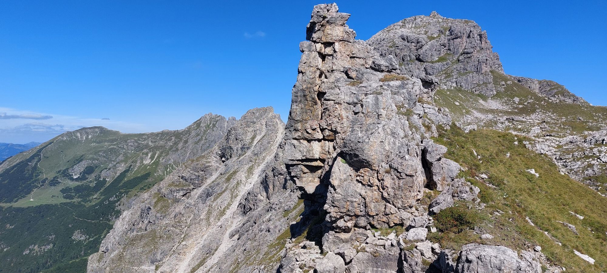
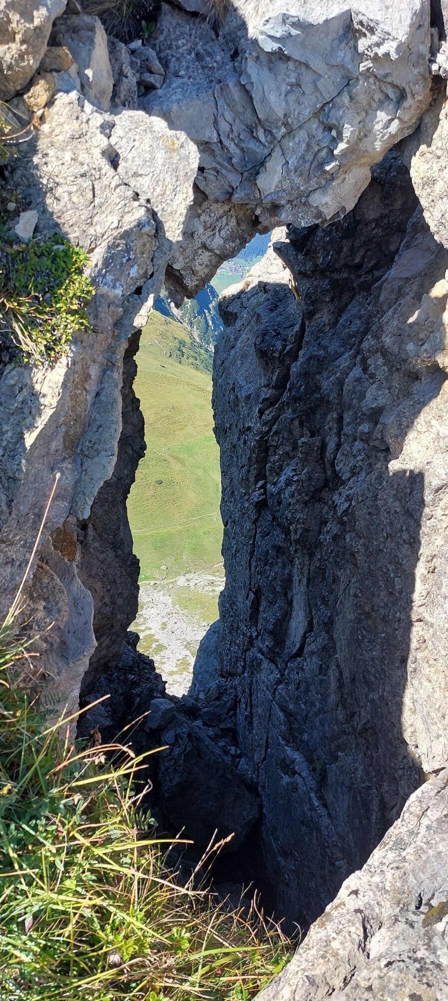
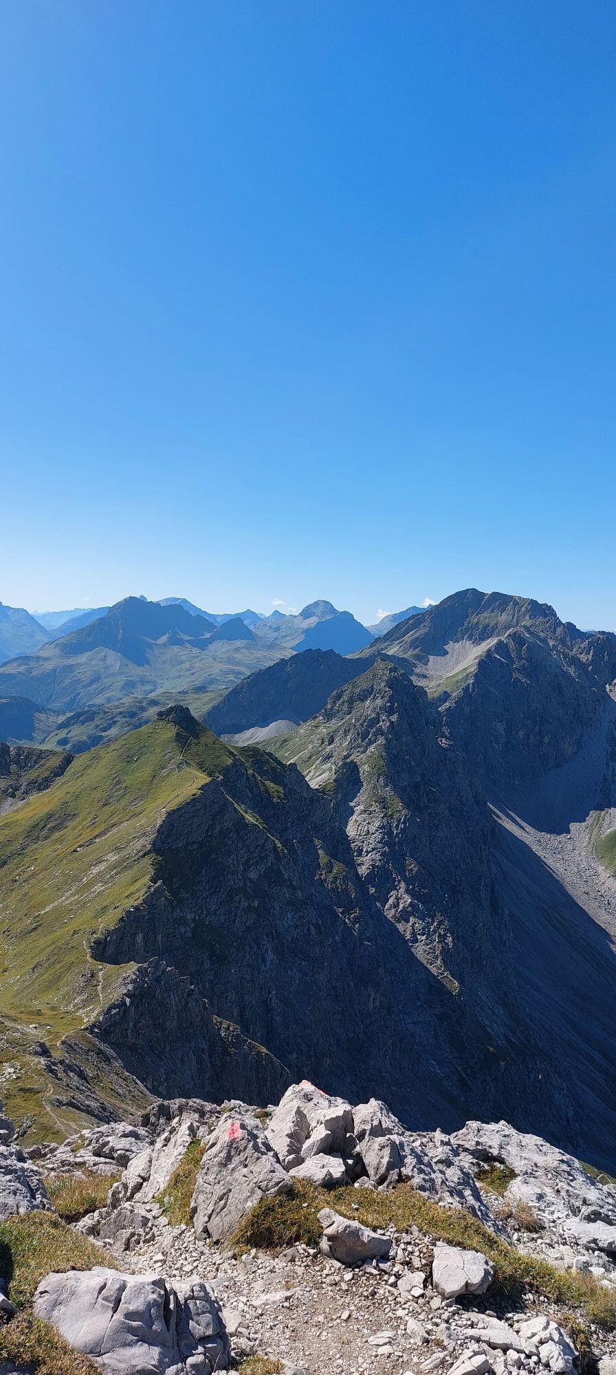
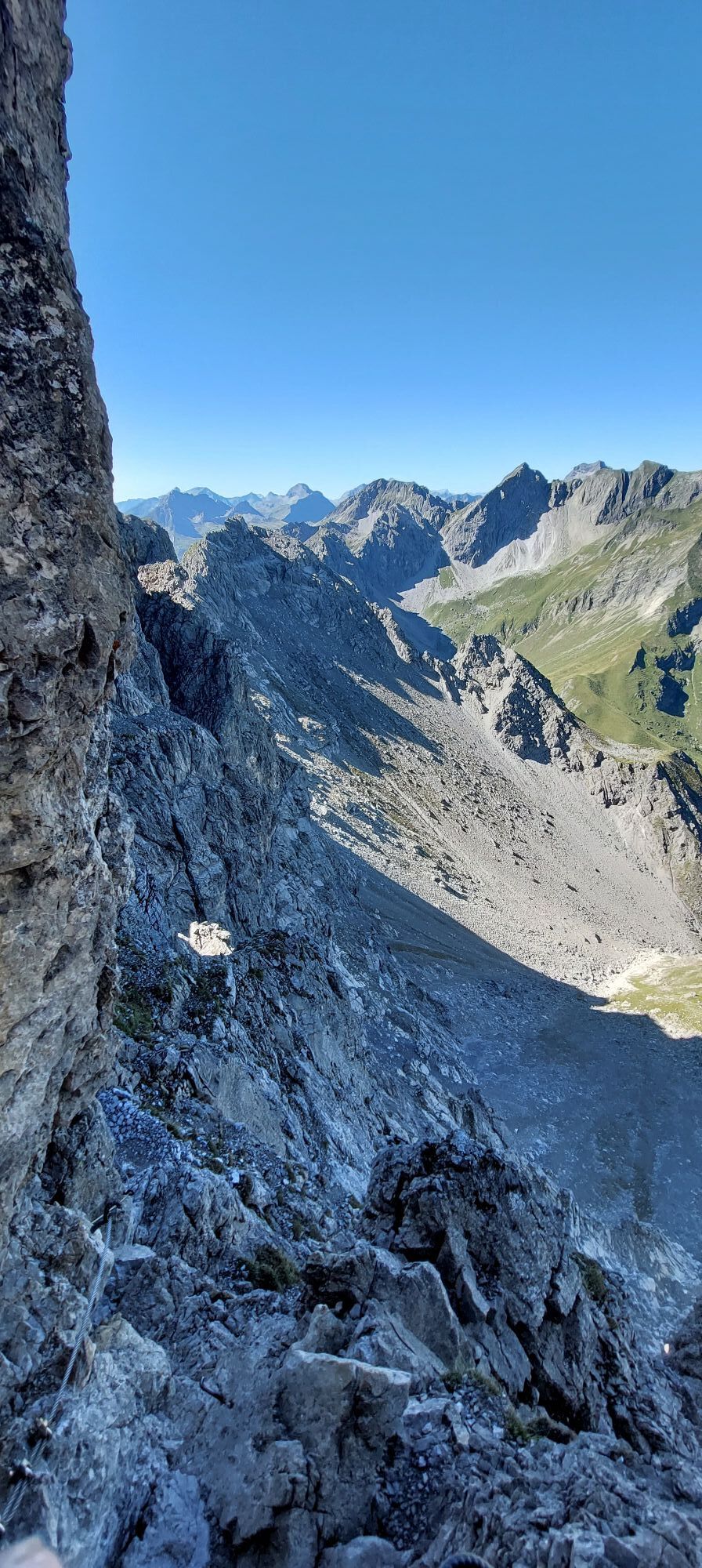
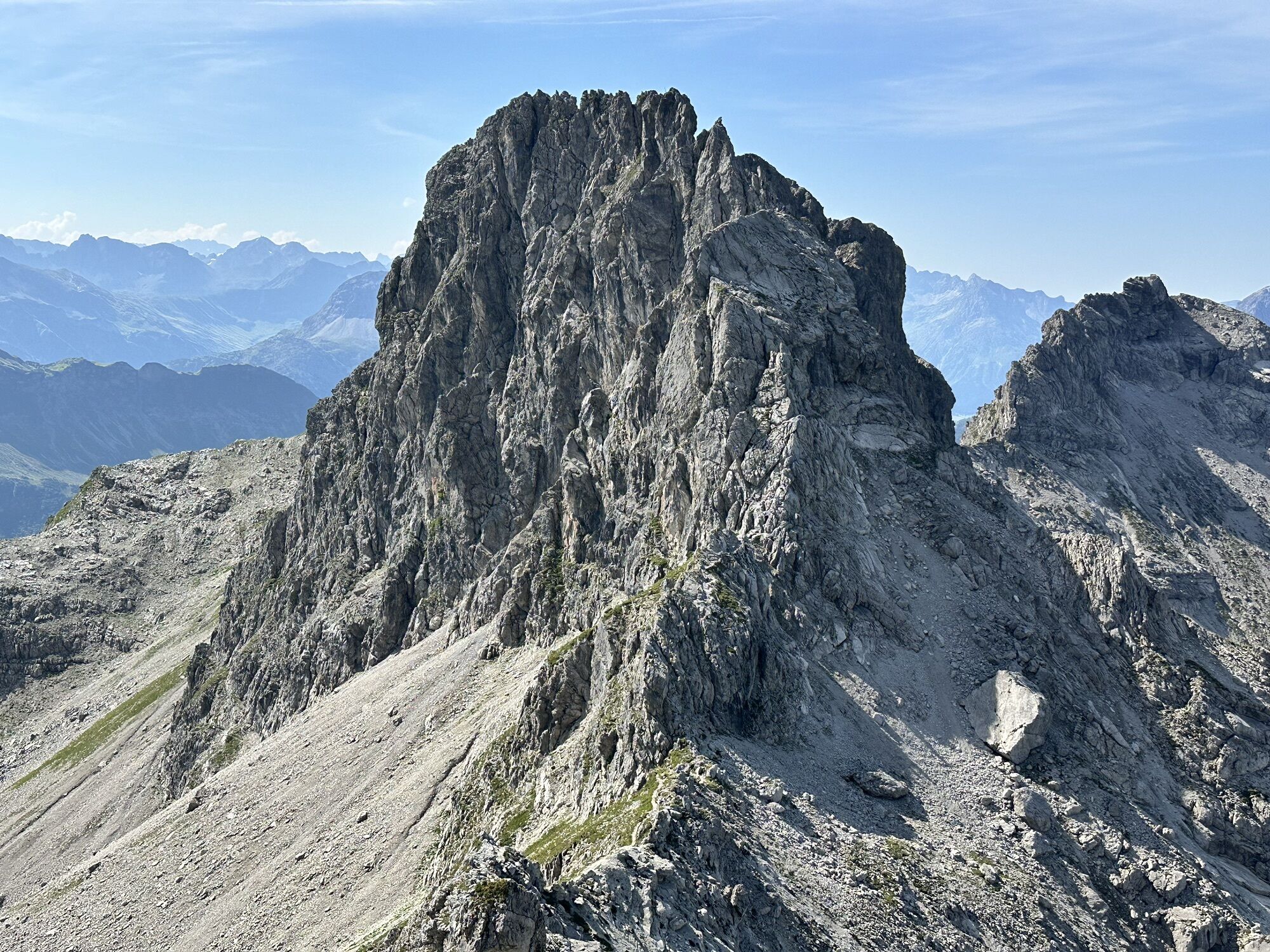
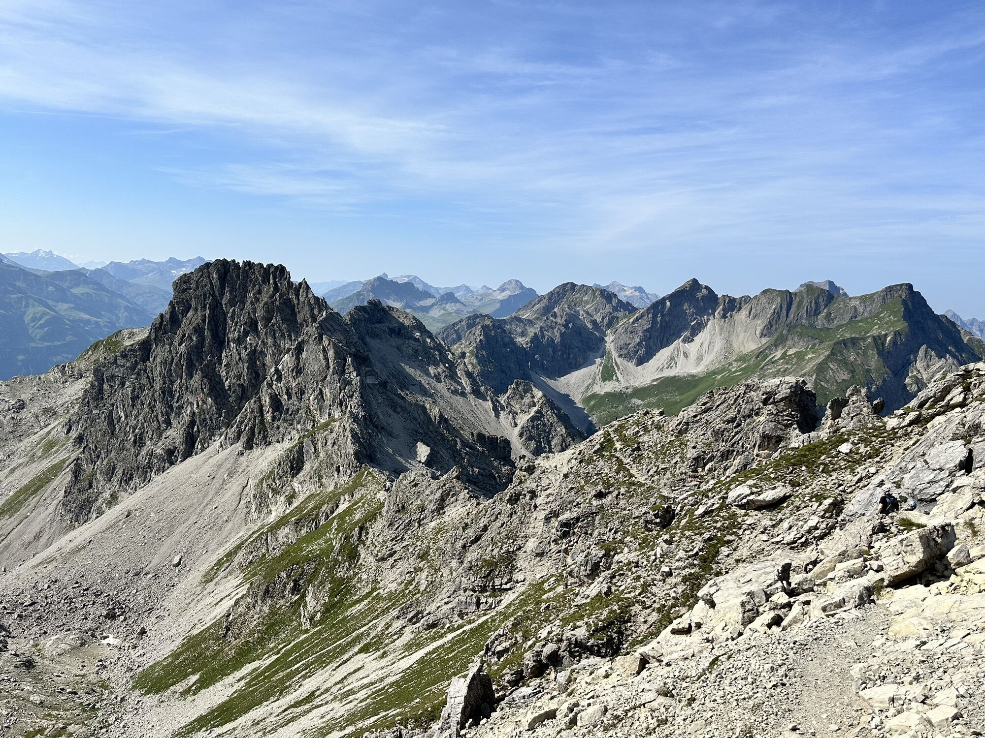
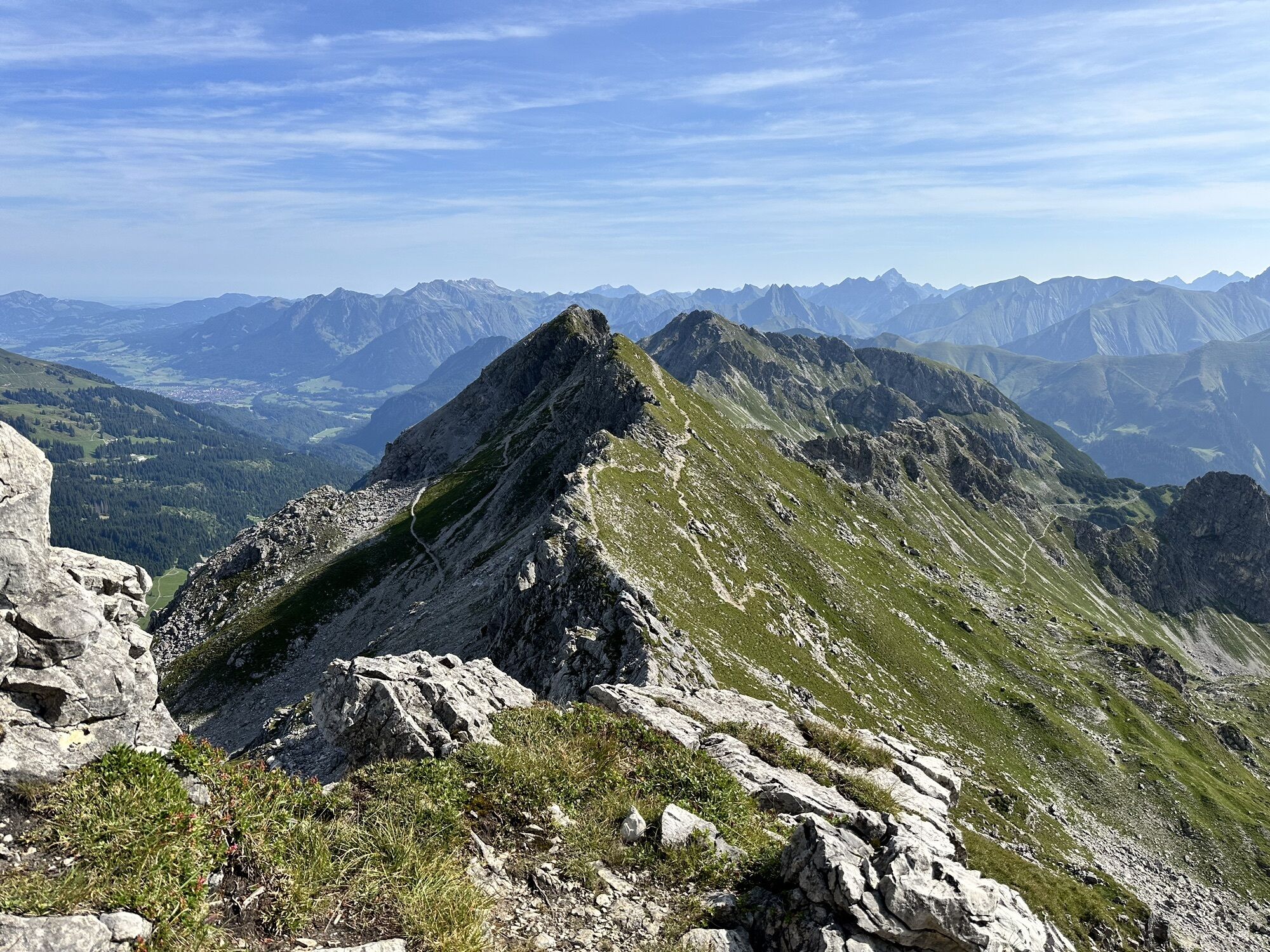
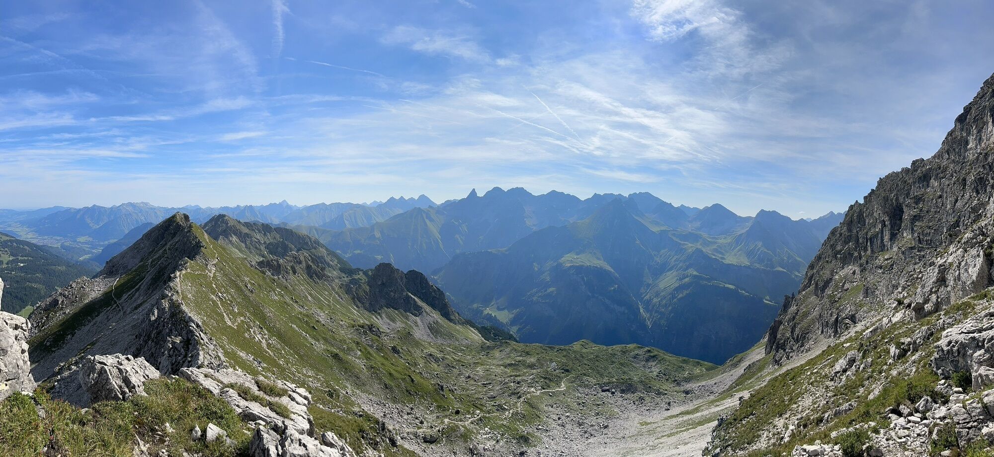
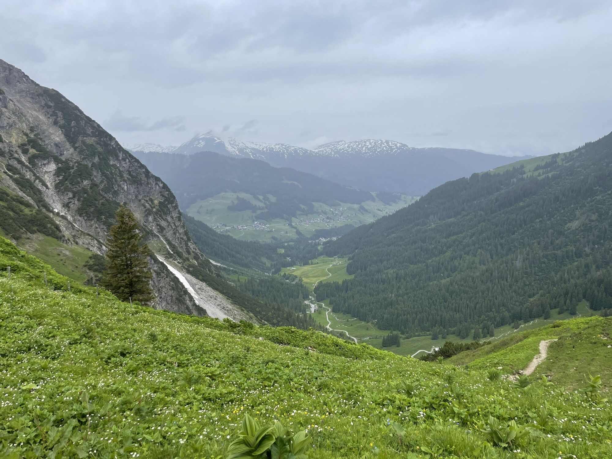
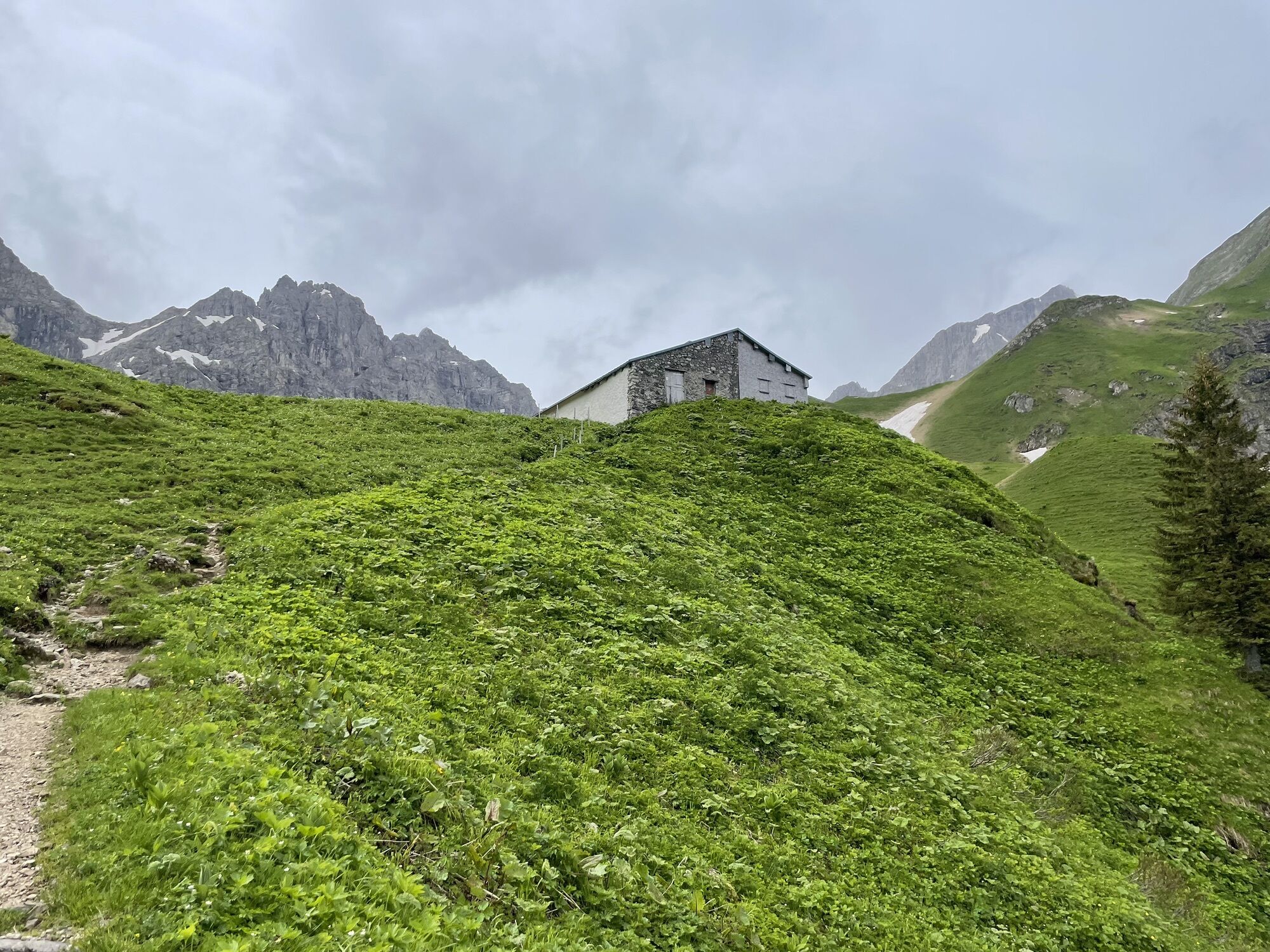
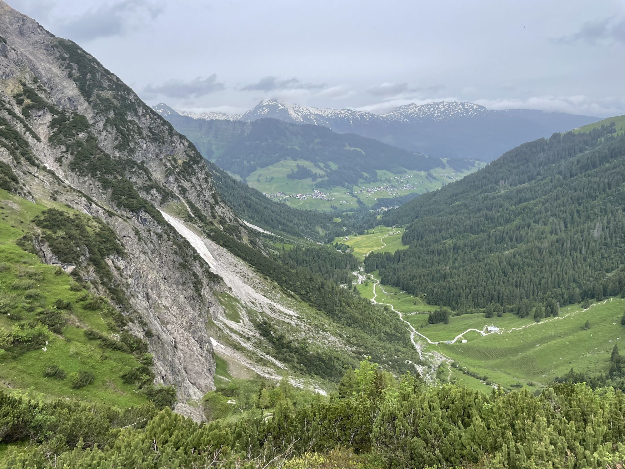

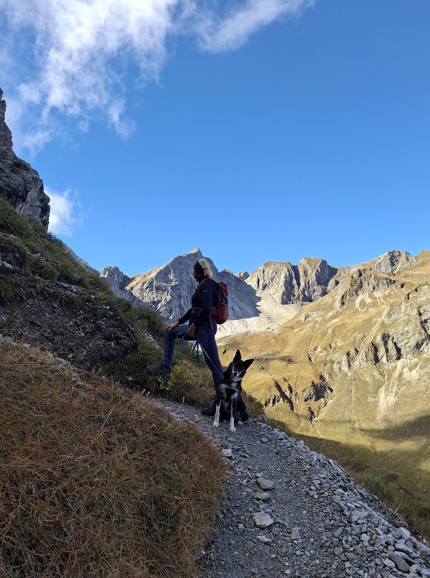
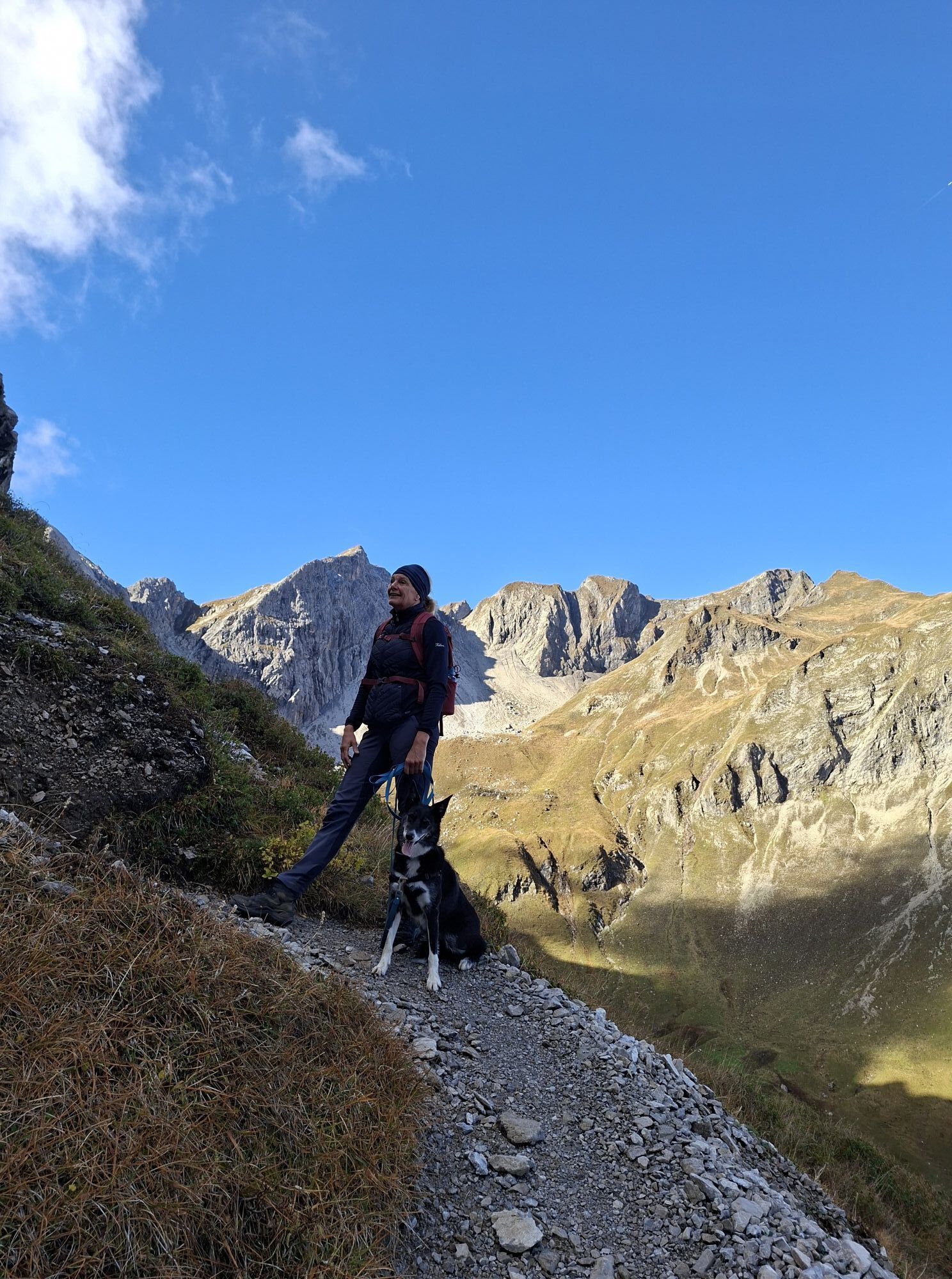
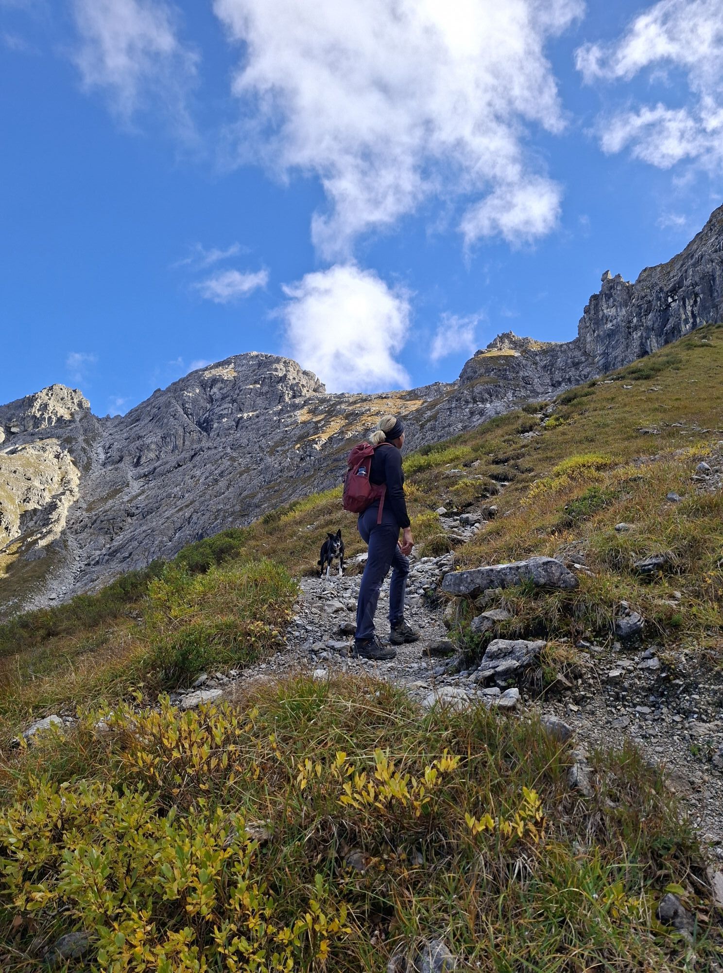
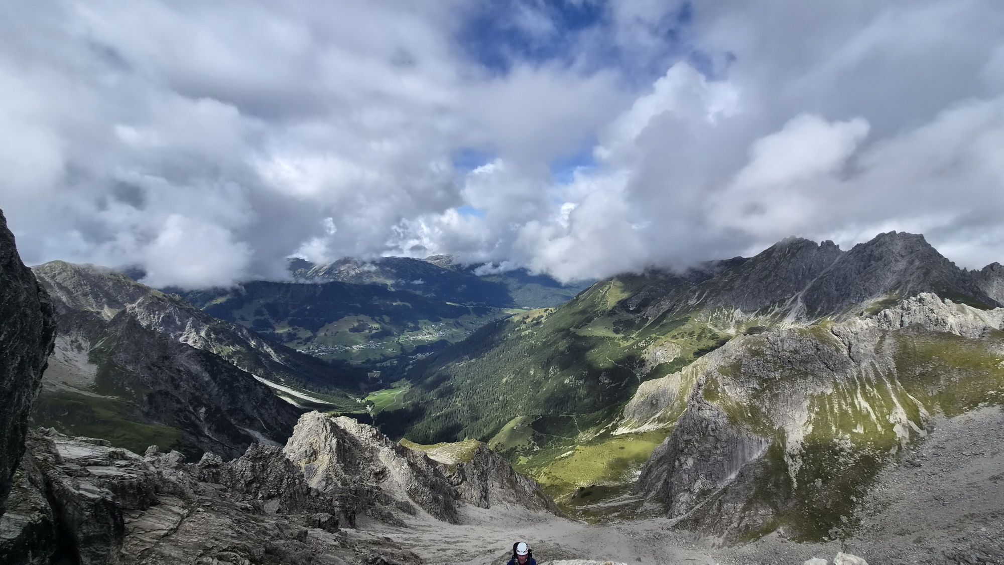
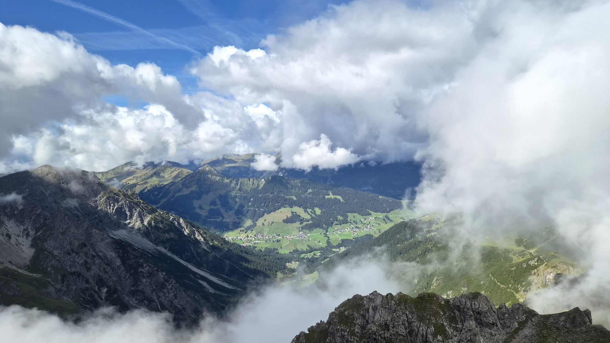
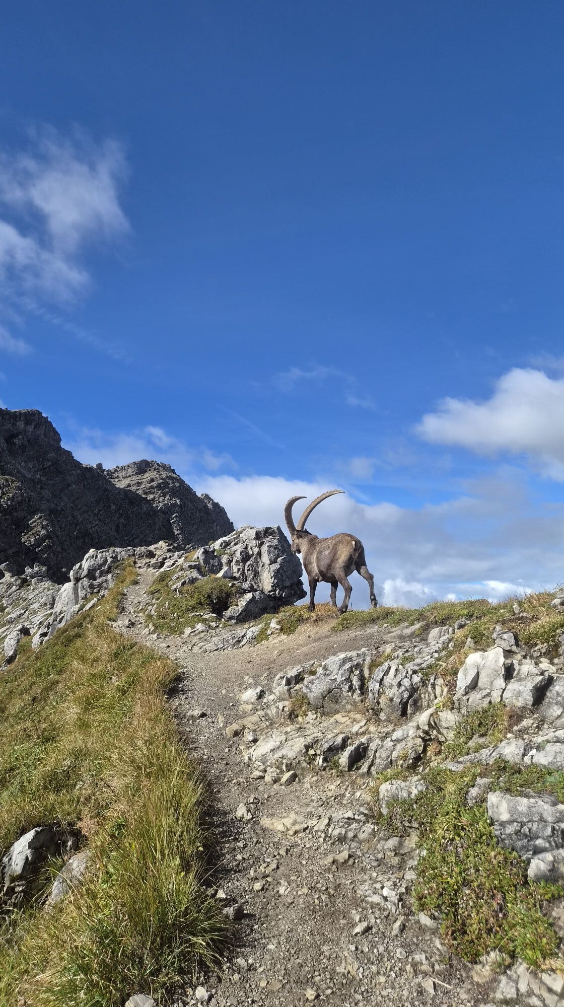
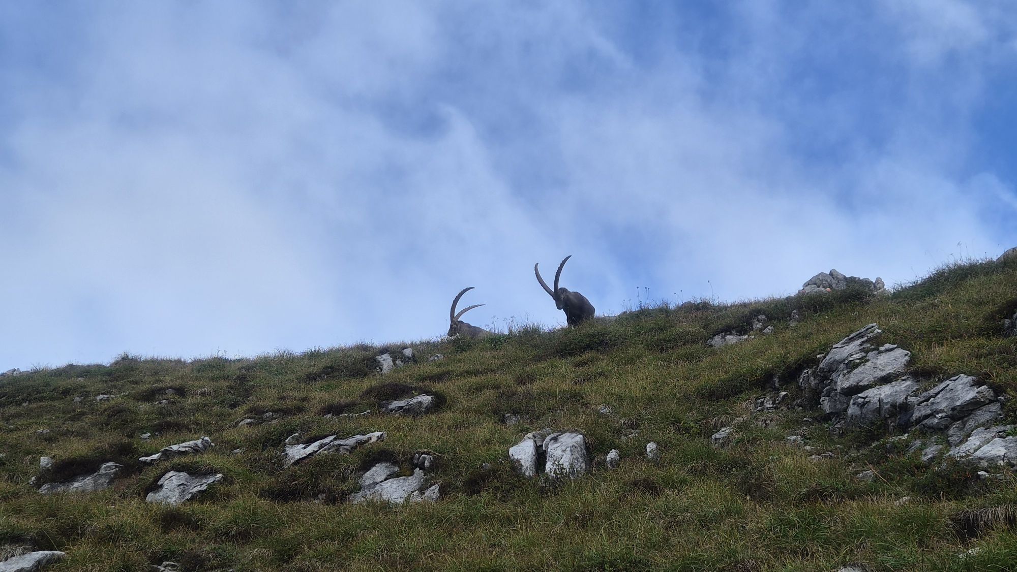
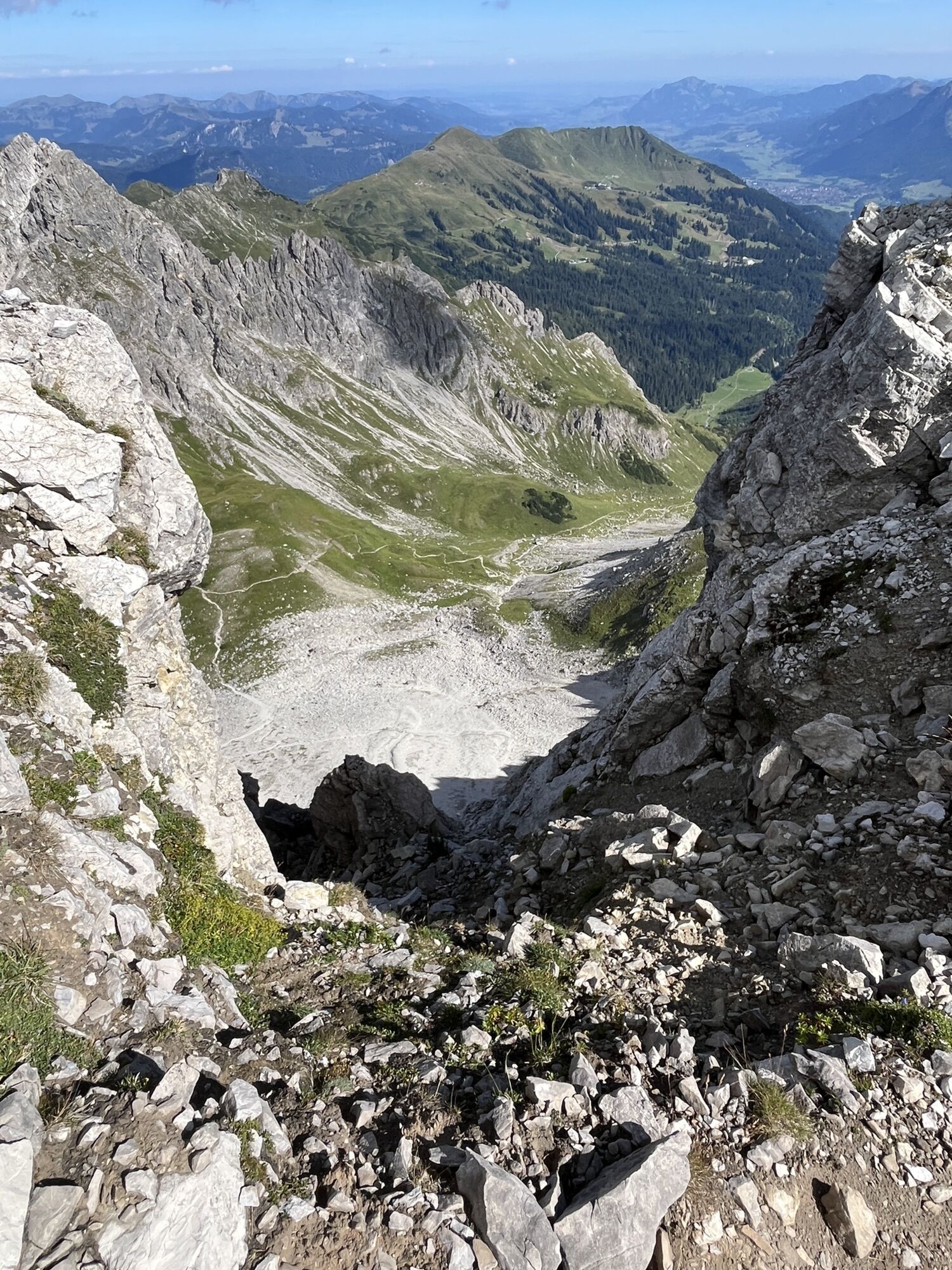
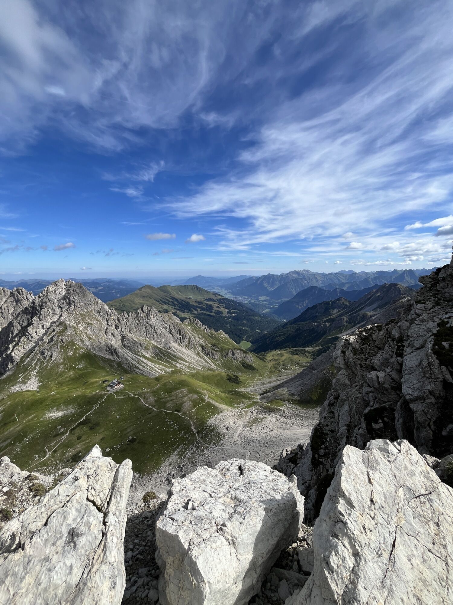
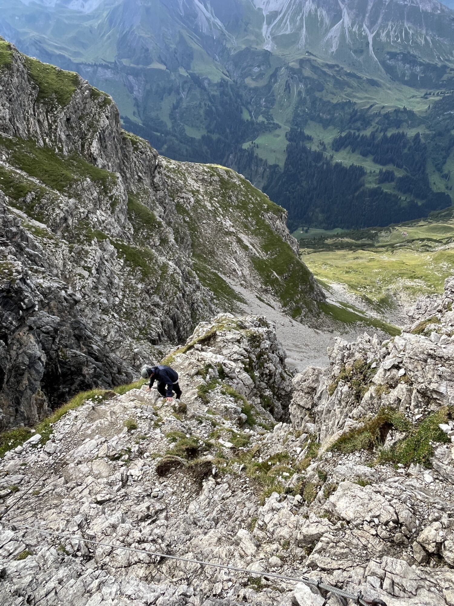
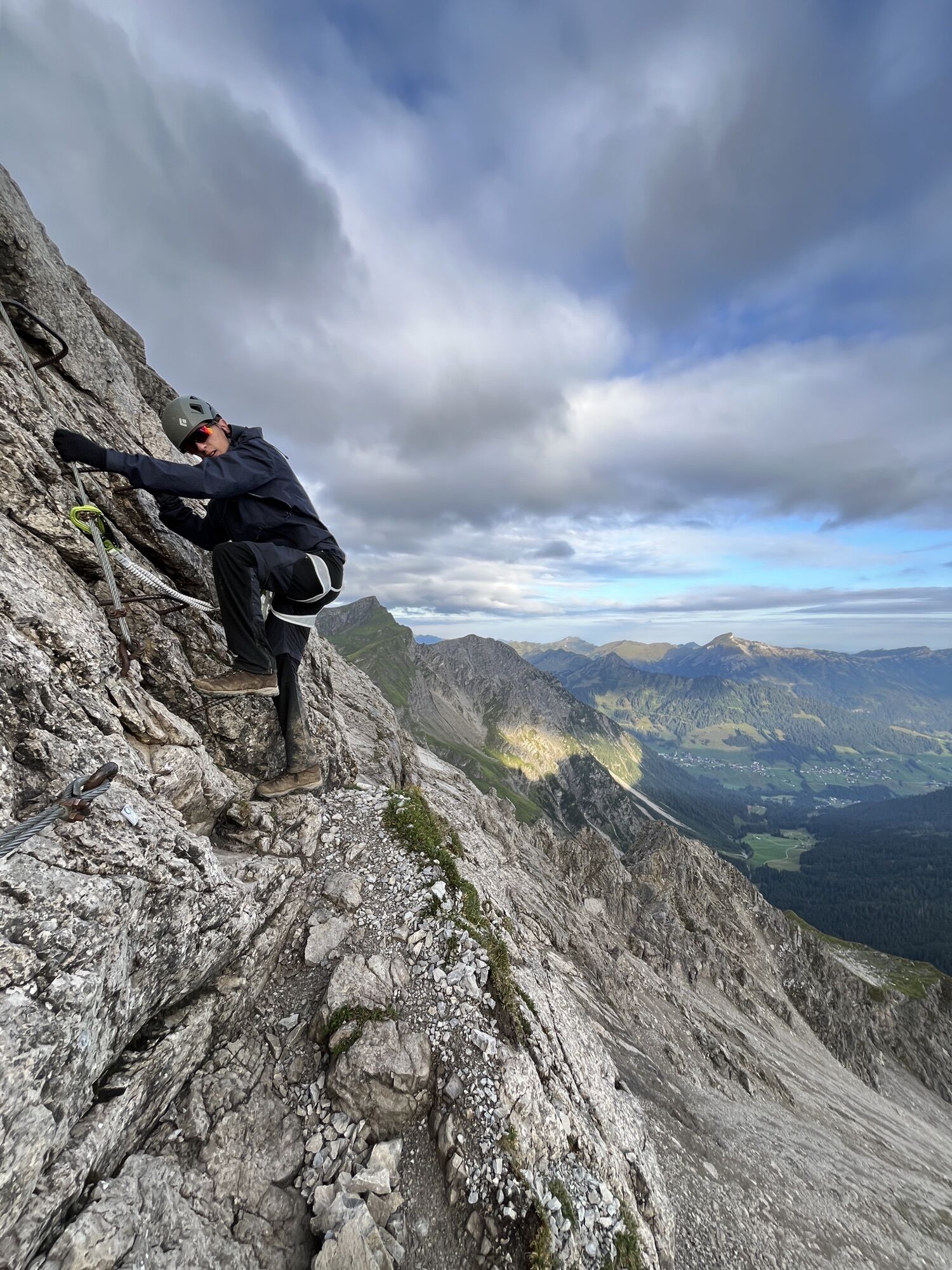
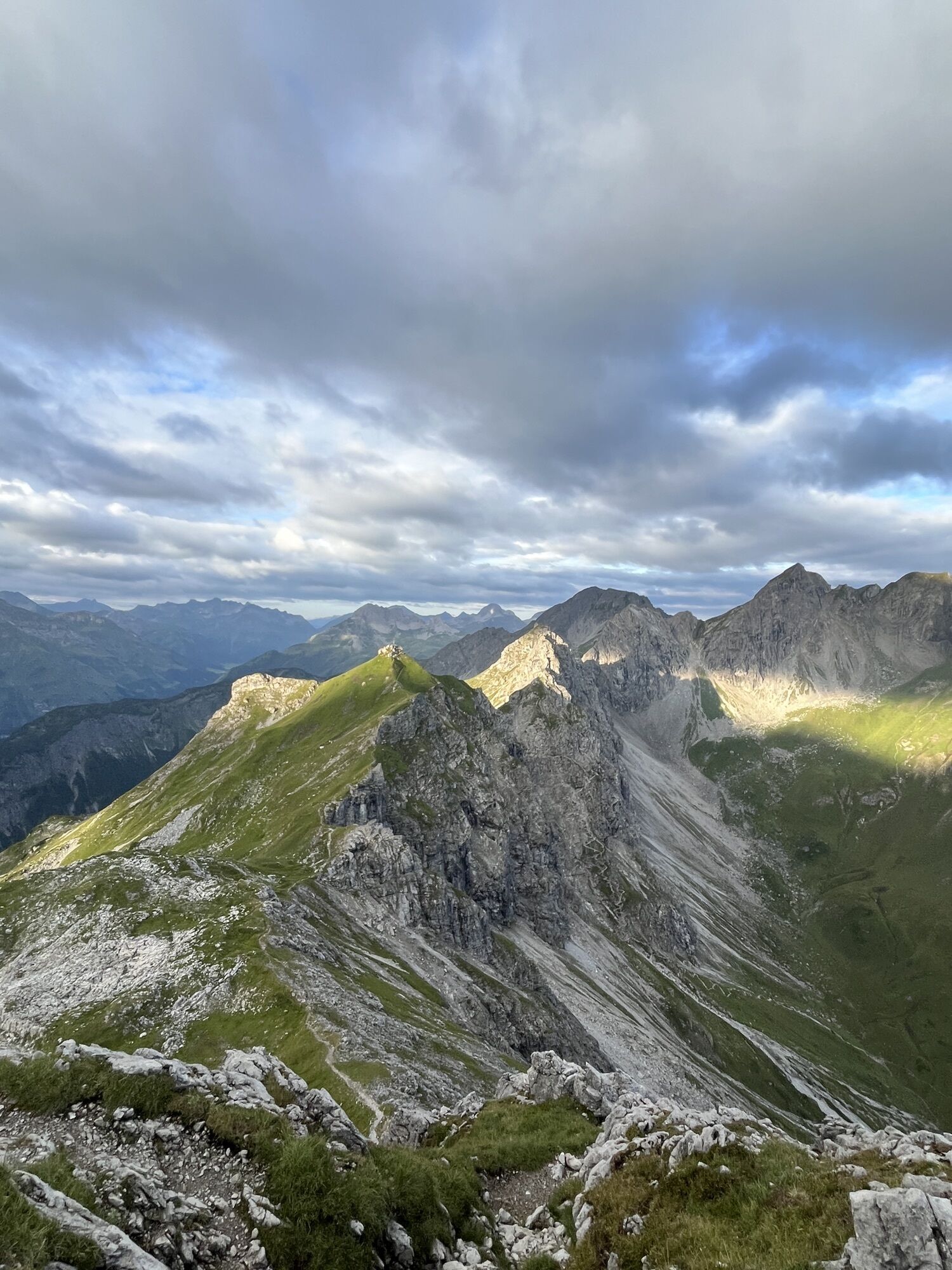
The Mindelheimer via ferrata is an alpine via ferrata (difficulty C) for experienced, sure-footed, and fearless climbers with complete via ferrata equipment. It leads through high alpine terrain and with...
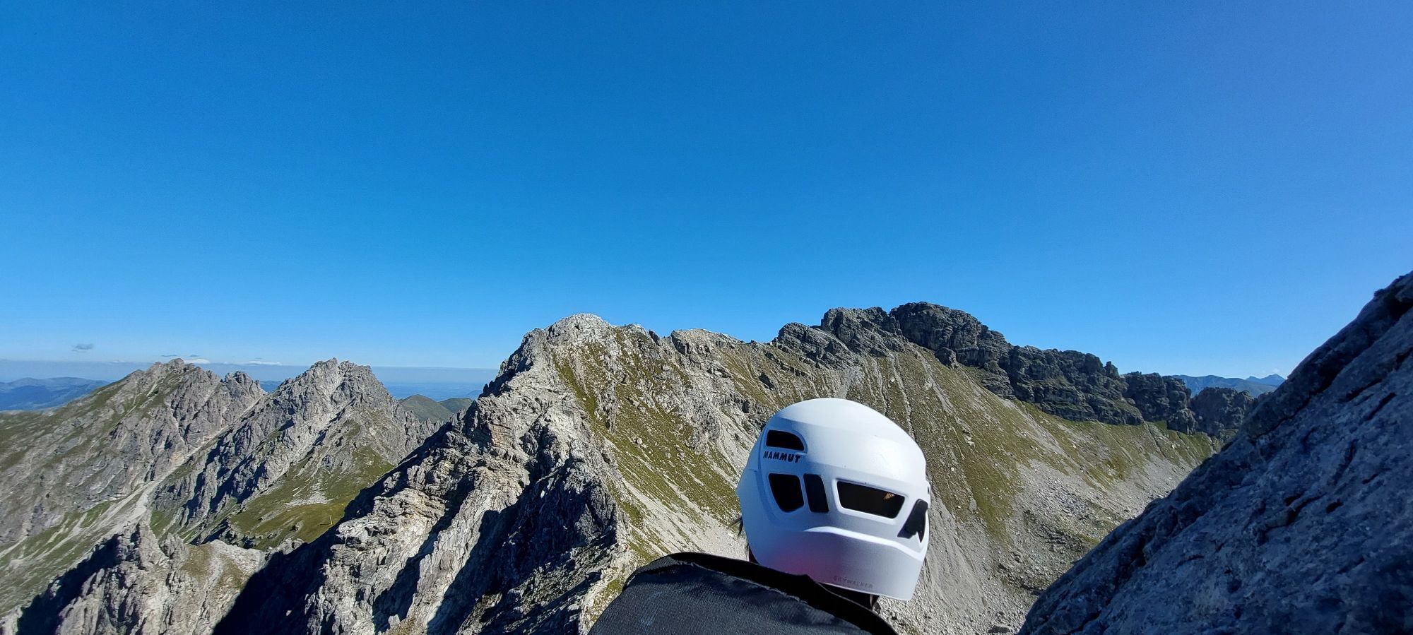
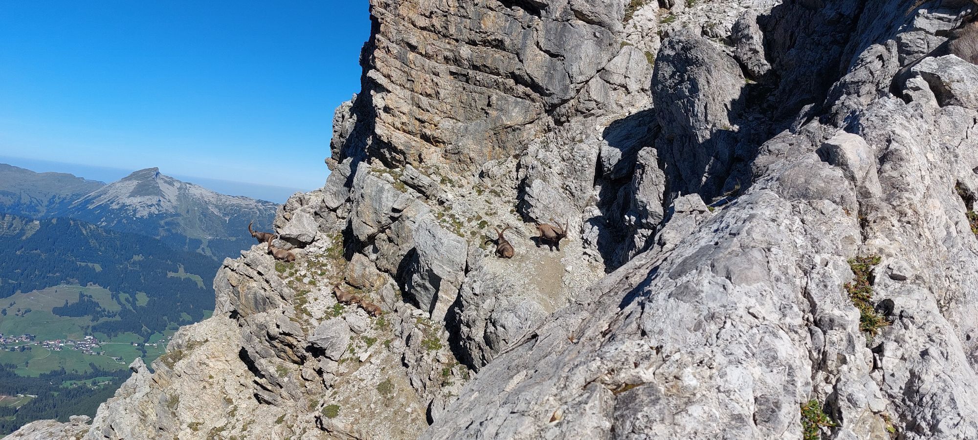
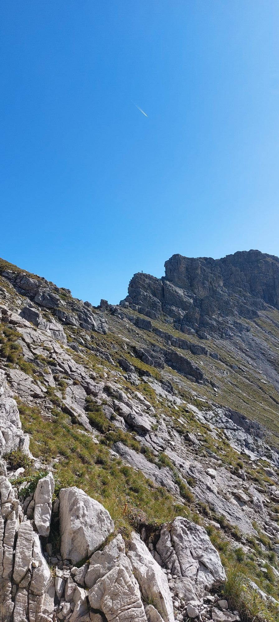
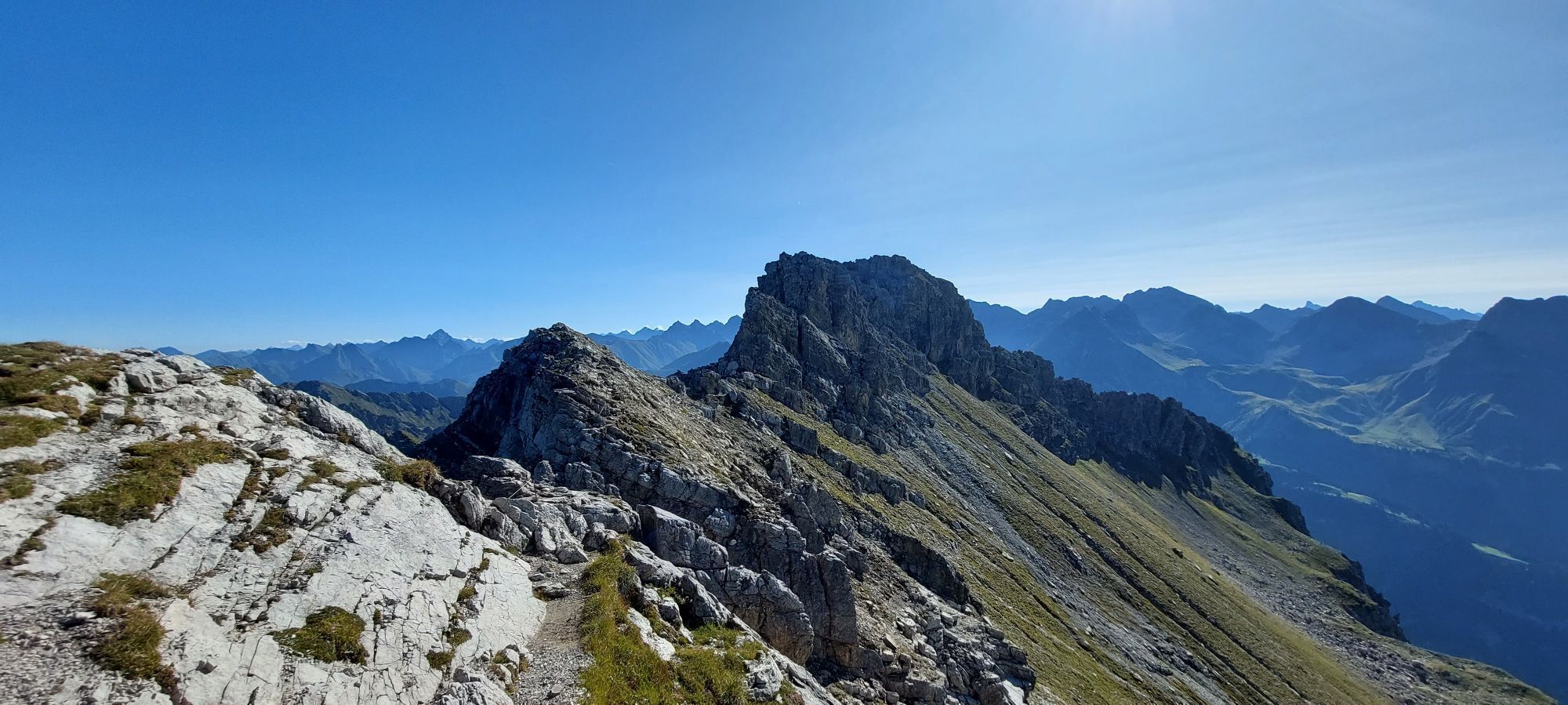
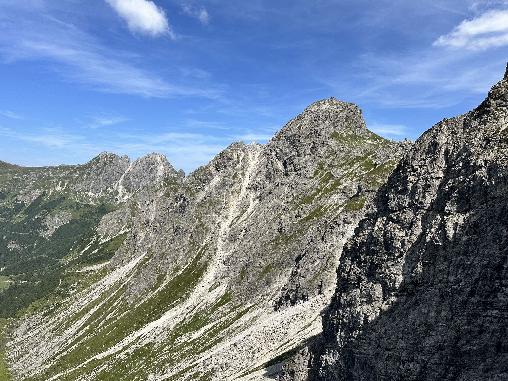
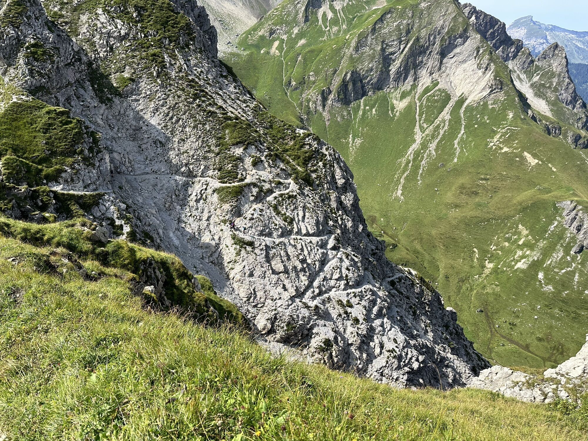
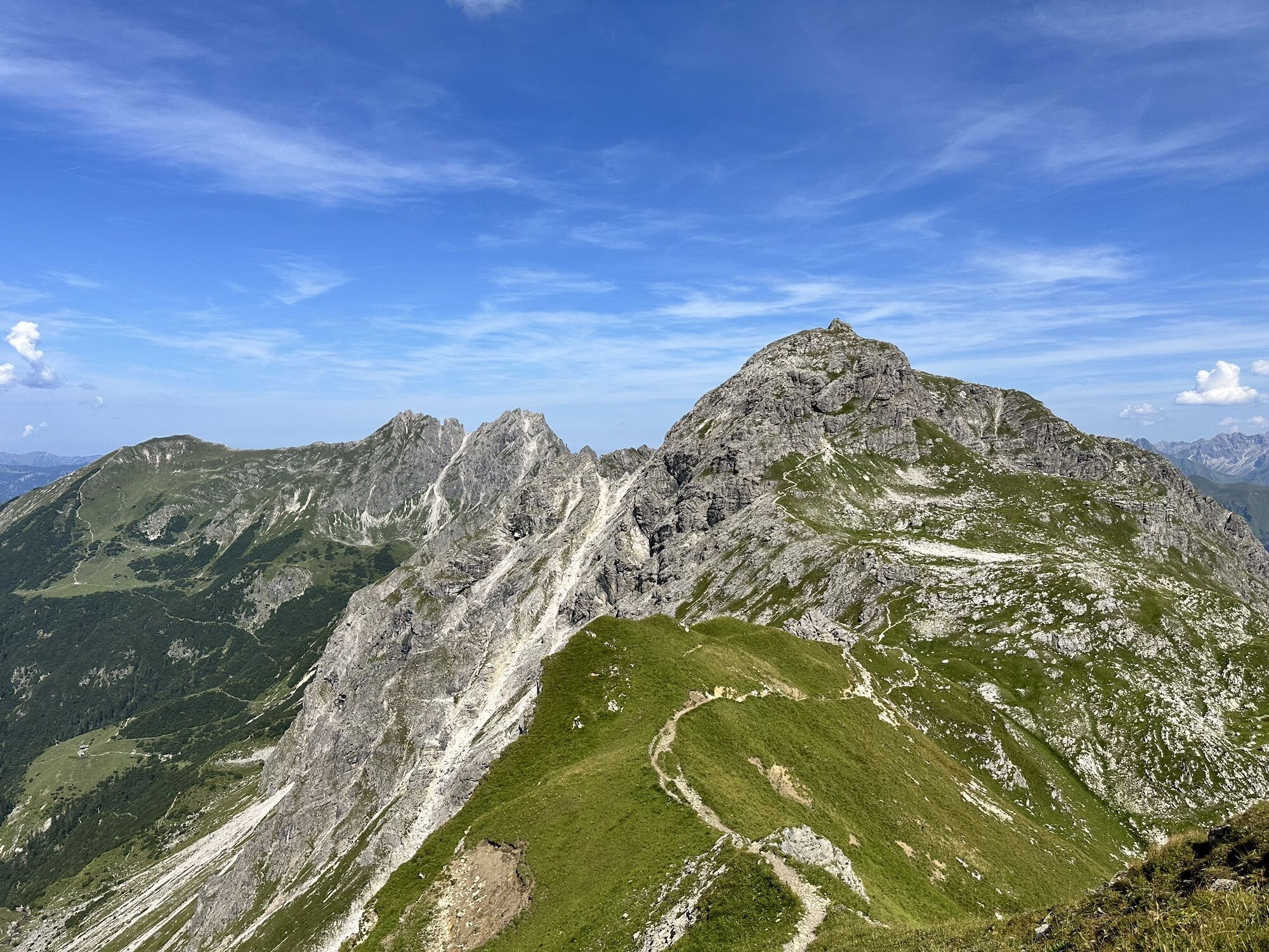
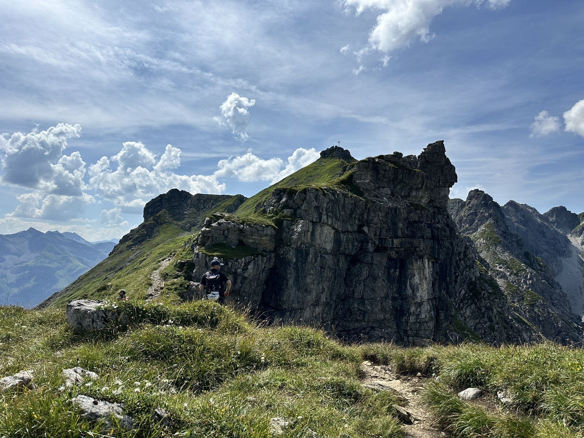
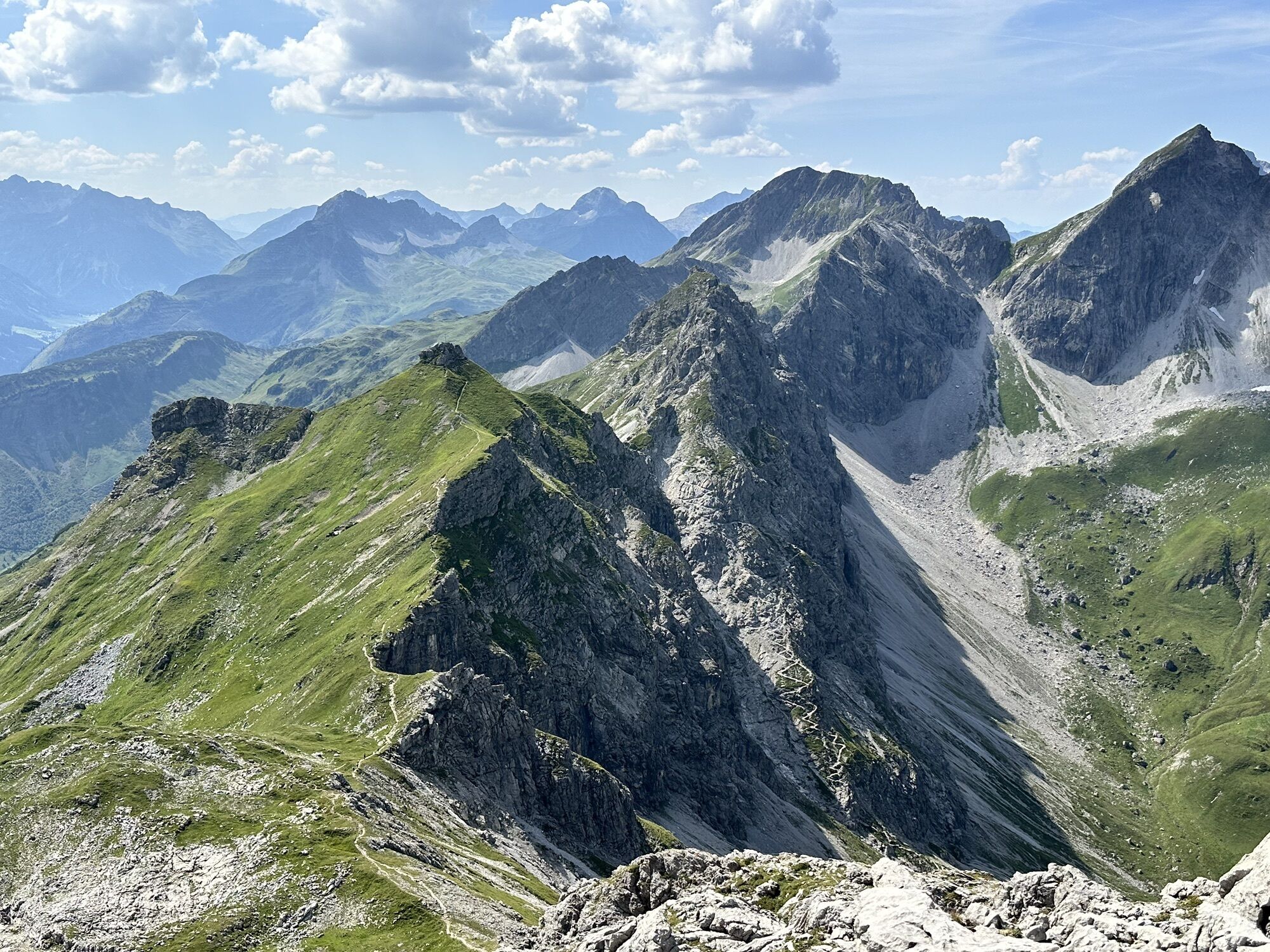
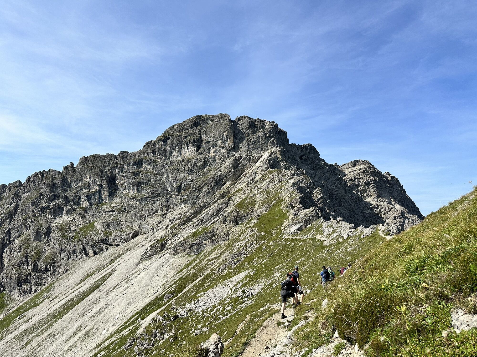
The Mindelheimer via ferrata is an alpine via ferrata (difficulty C) for experienced, sure-footed, and fearless climbers with complete via ferrata equipment. It leads through high alpine terrain and with impressive panoramic views over the rugged summit ridge of the Schafalpenköpfe. The Mindelheimer via ferrata is especially demanding due to its length and the fact that the route is not continuously protected by a cable. Starting from the Fiderepass hut, the via ferrata follows along the Austrian-German border over the summits of the three Schafalpenköpfe to the Kemptner Köpfle. The view during the entire ridge crossing is unique, and the route through the rugged main dolomite shows varied and impressive rock formations. The via ferrata ends at the Kemptner notch. From there descent via the Wildental.
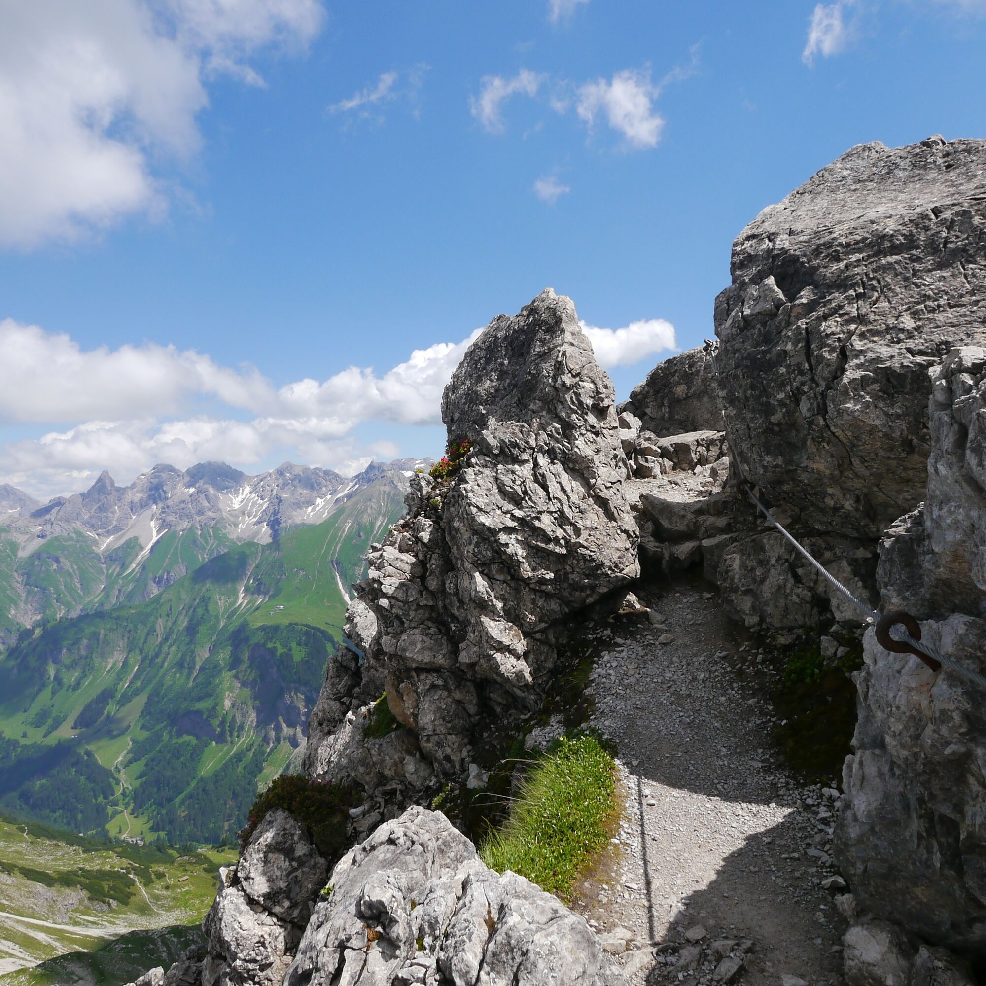
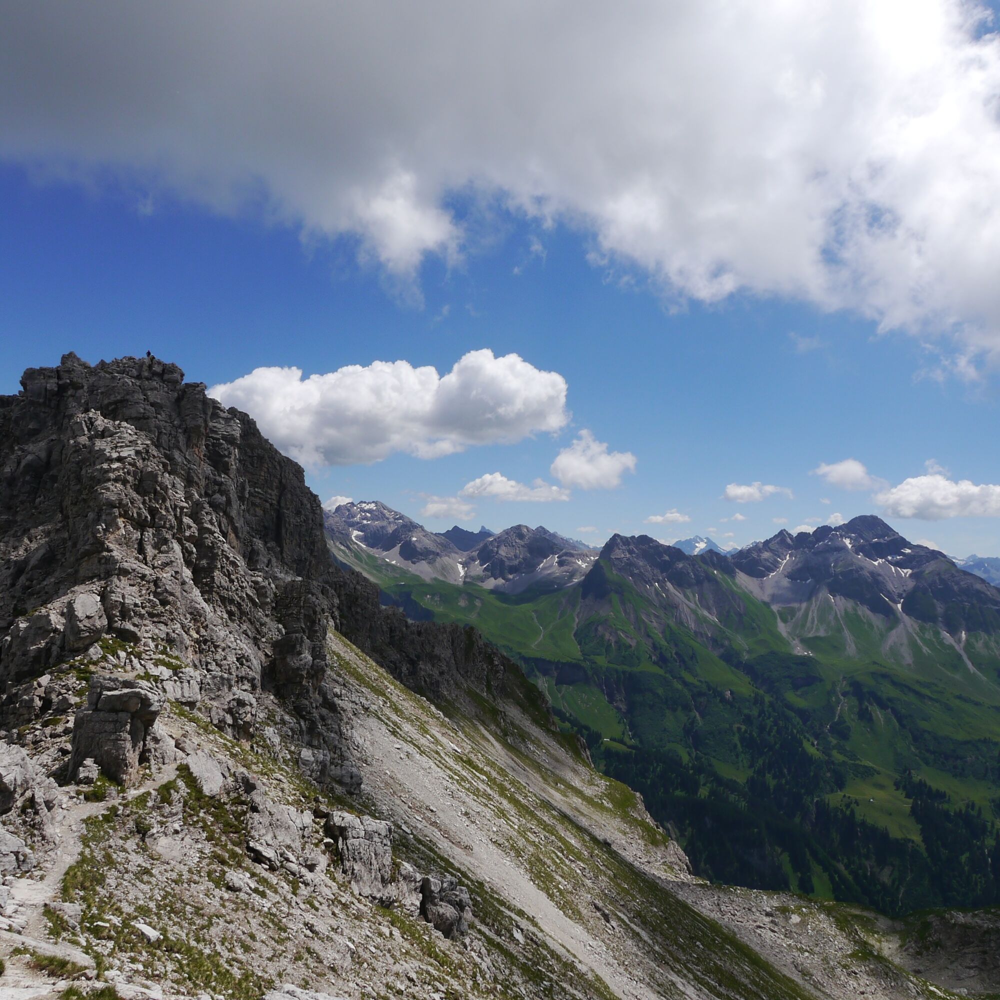
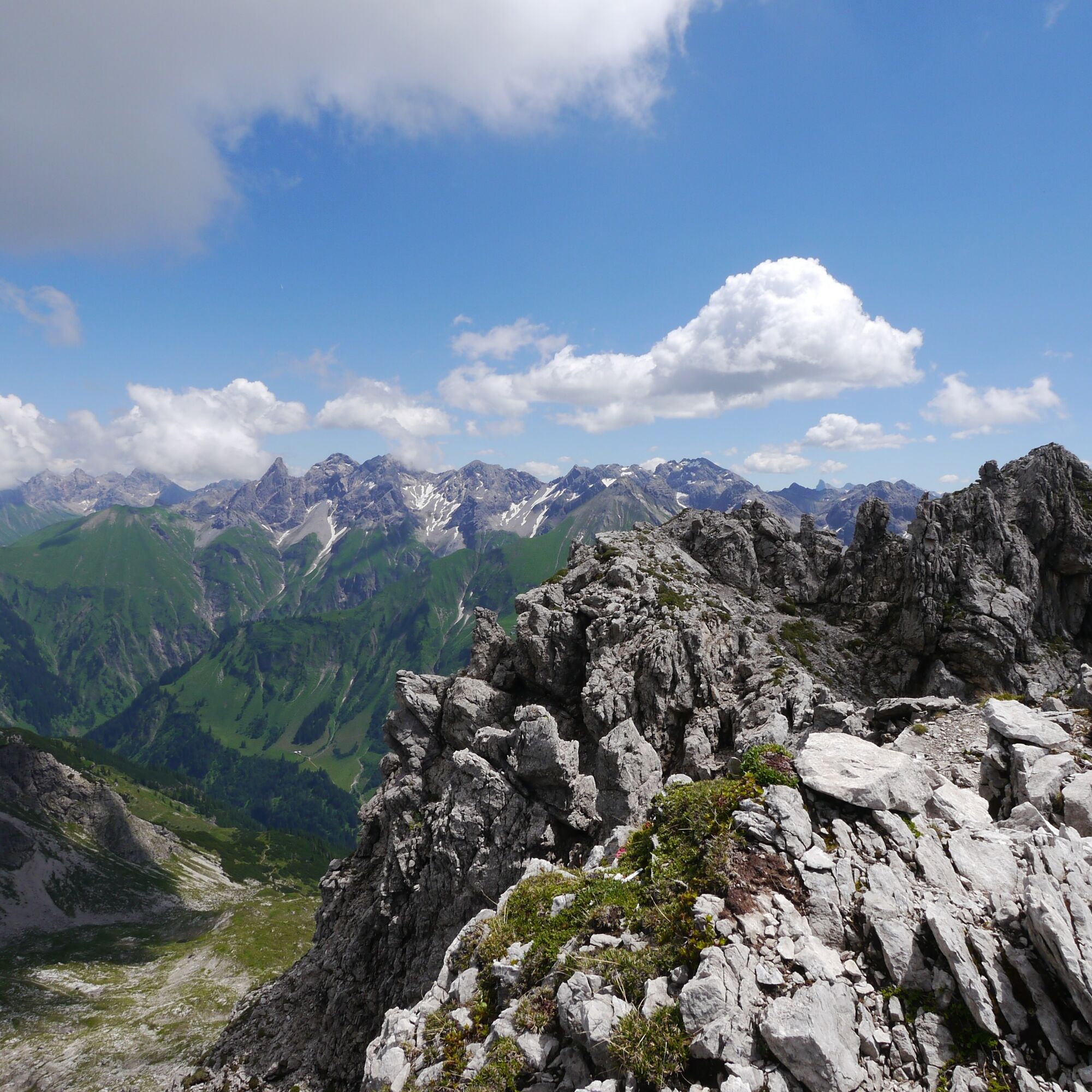
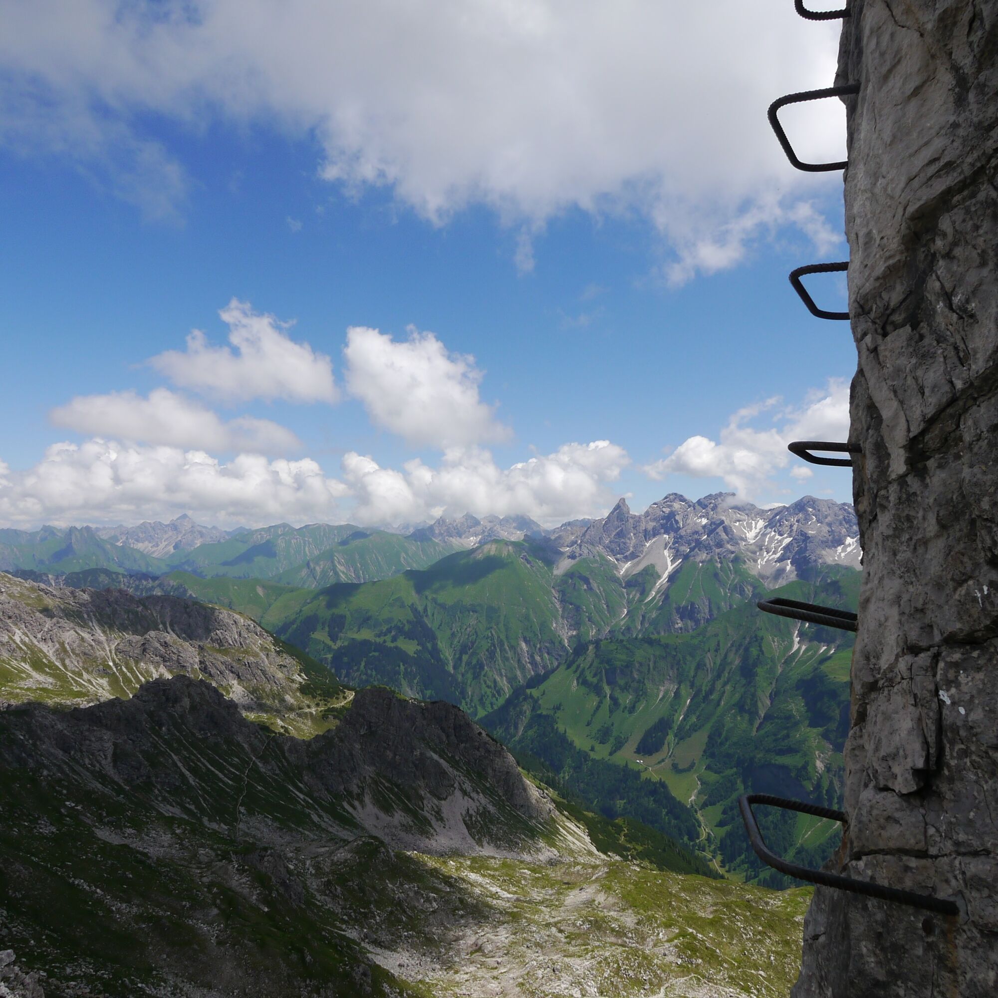
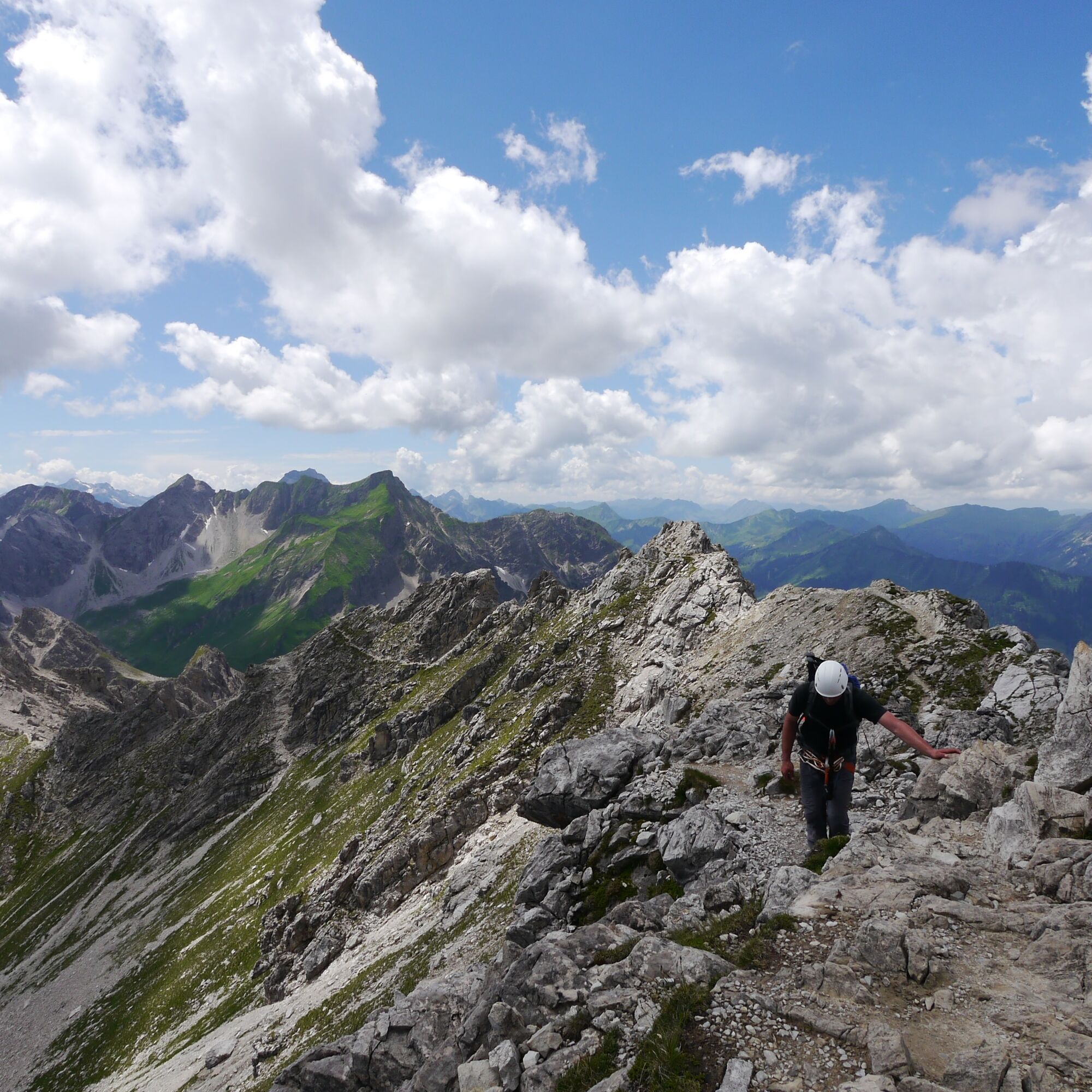
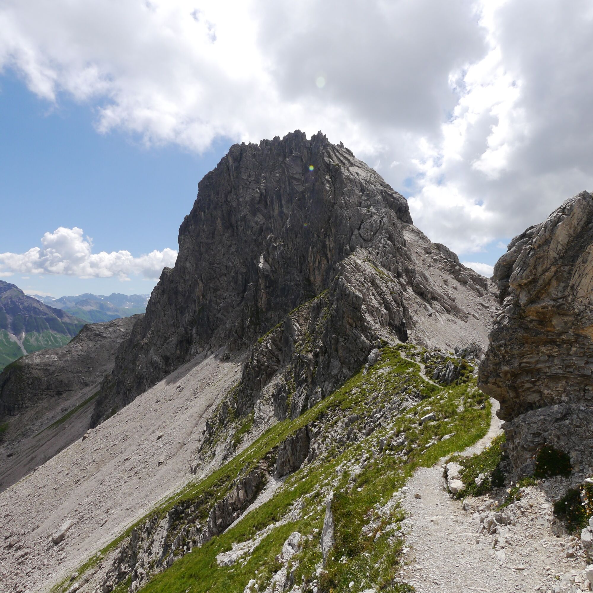
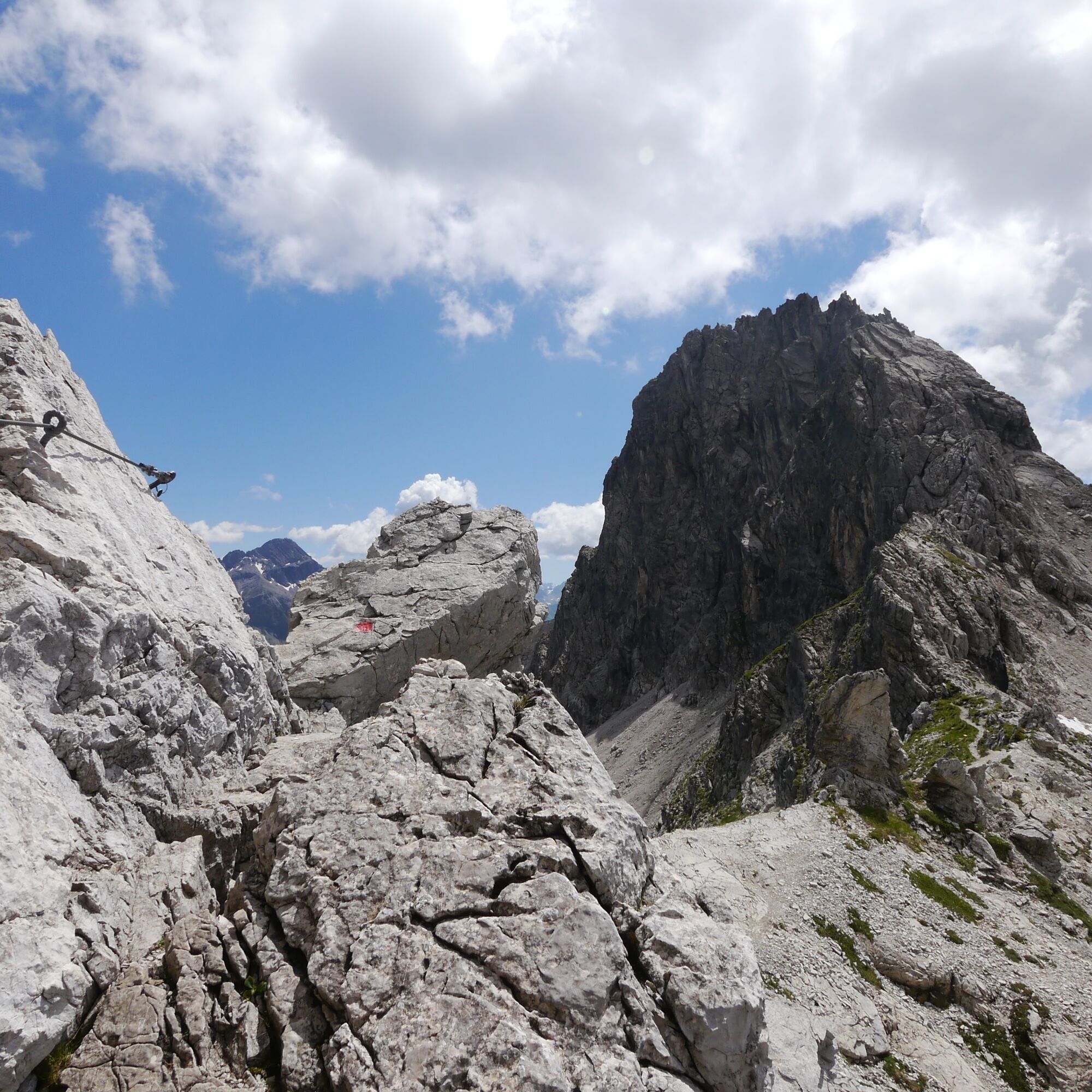
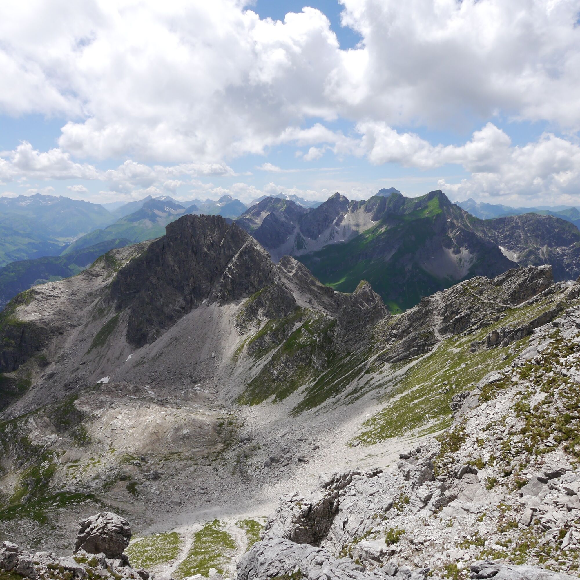

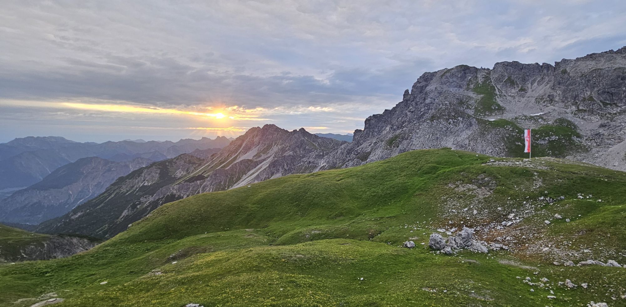
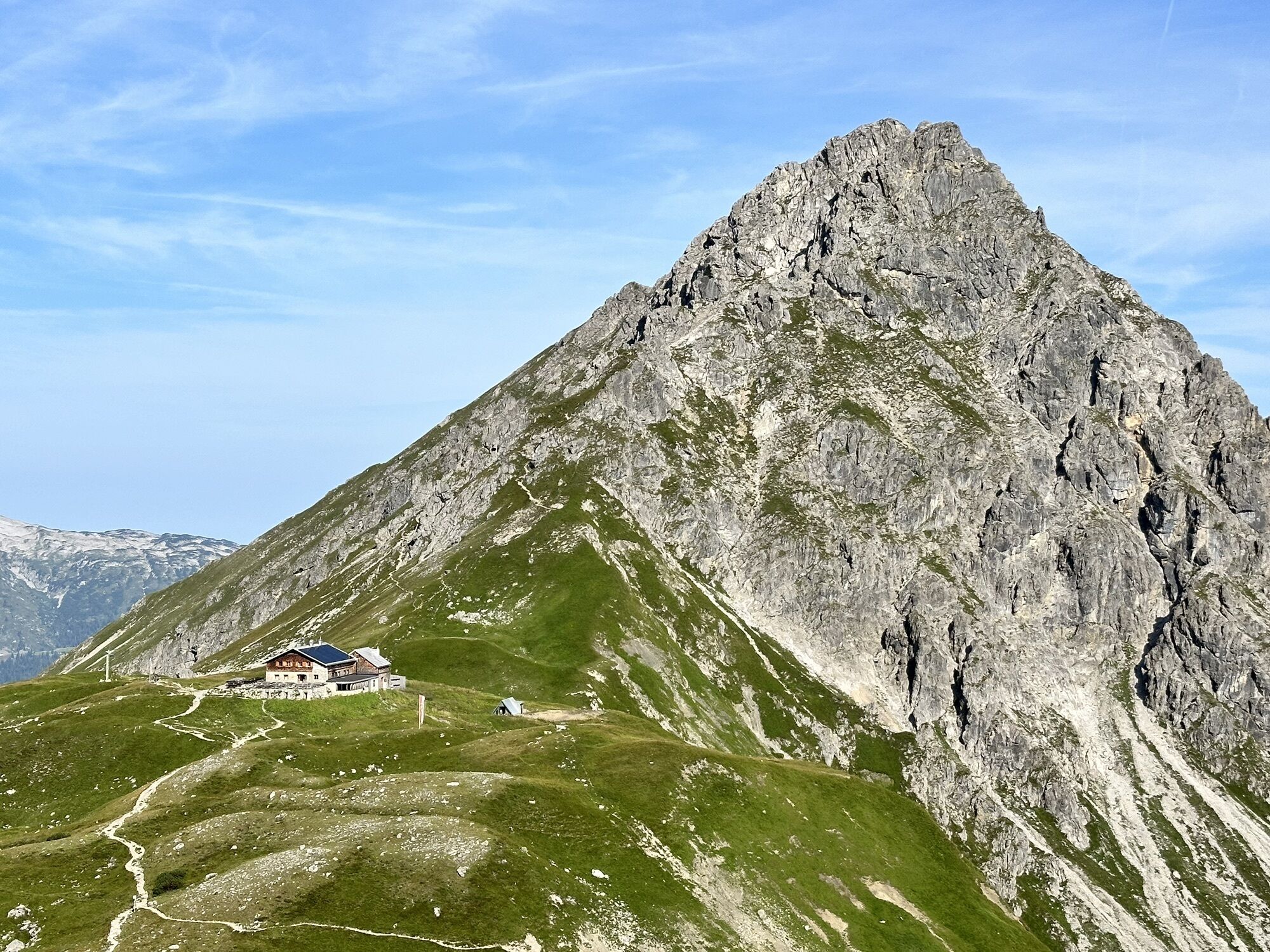
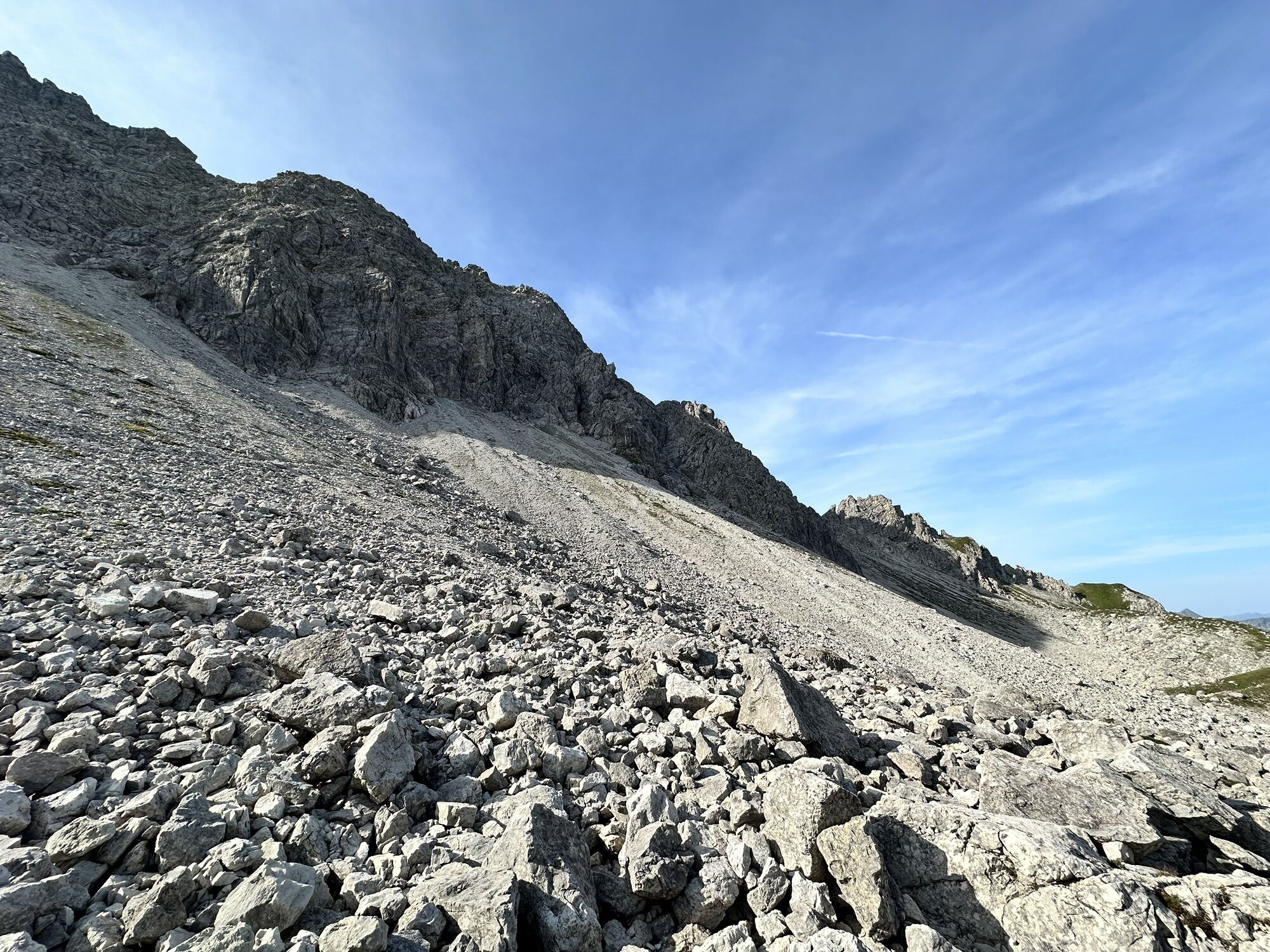
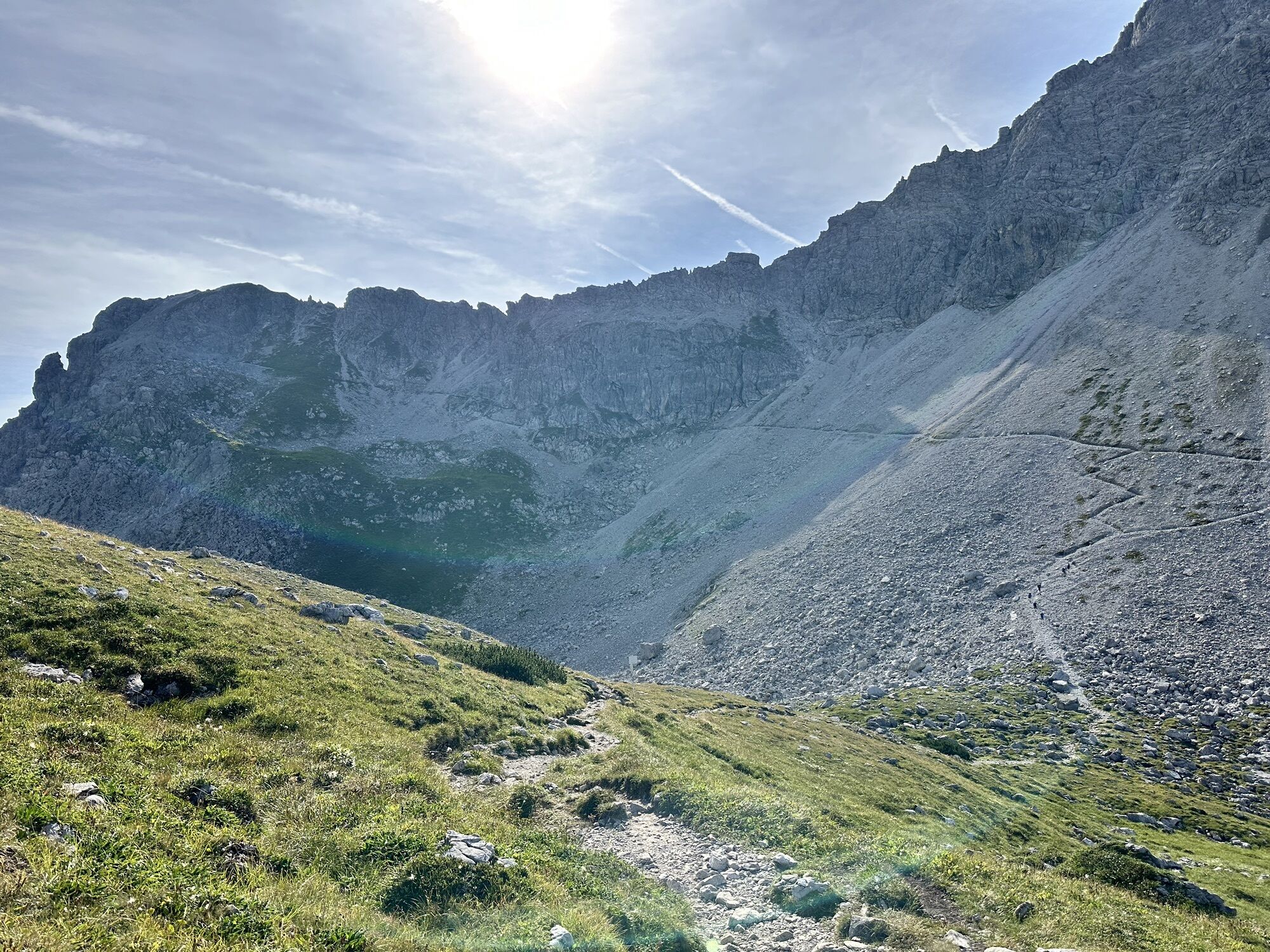
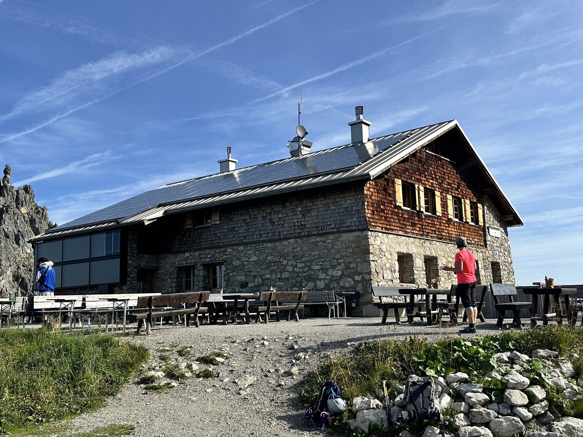
From the starting point for the Mindelheimer via ferrata, the Fiderepass hut, it goes briefly downhill and then up in switchbacks over a scree field to the Fiderescharte. Here you keep right and after a short time reach the ridge at the start of the via ferrata.
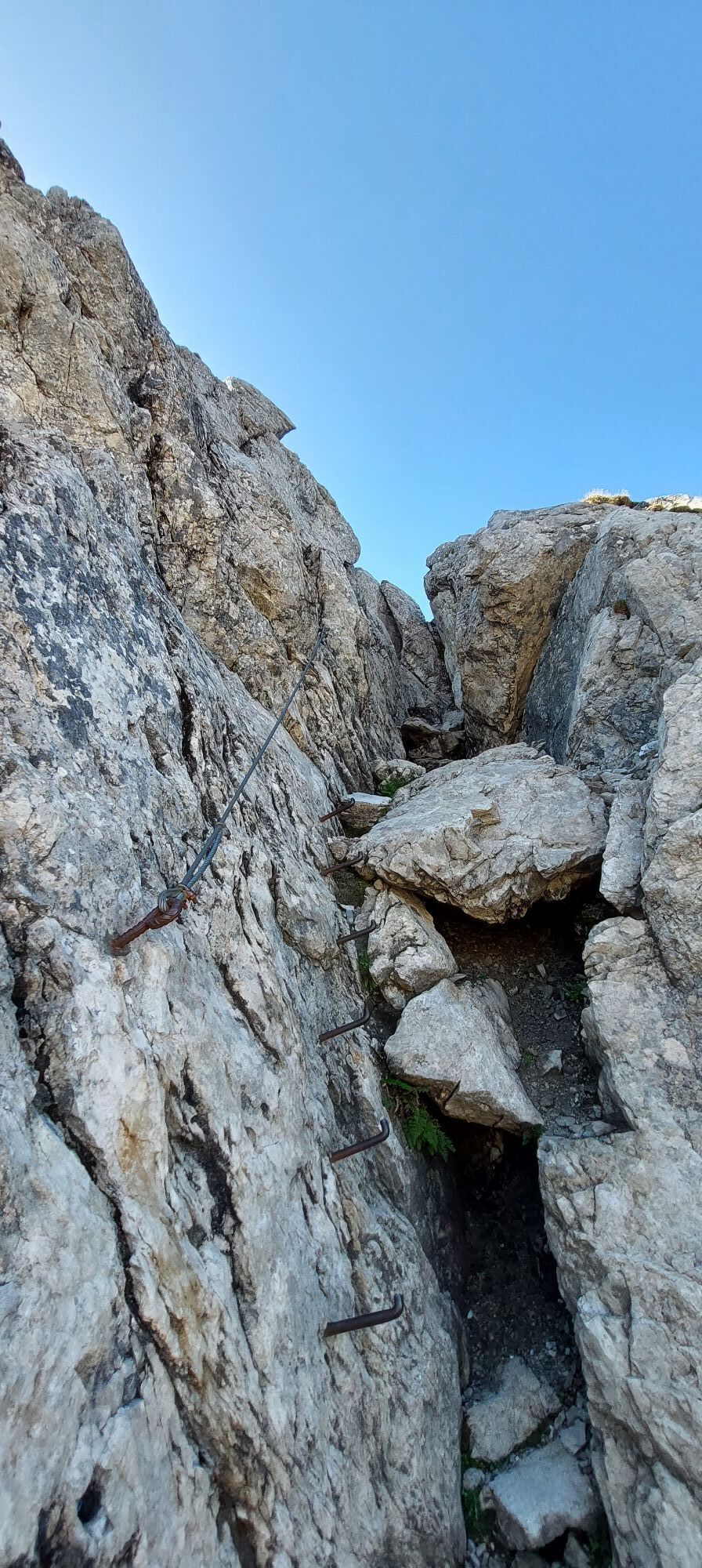
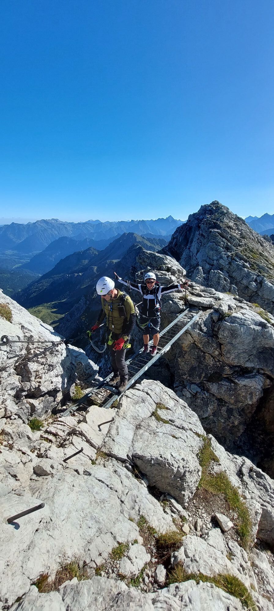
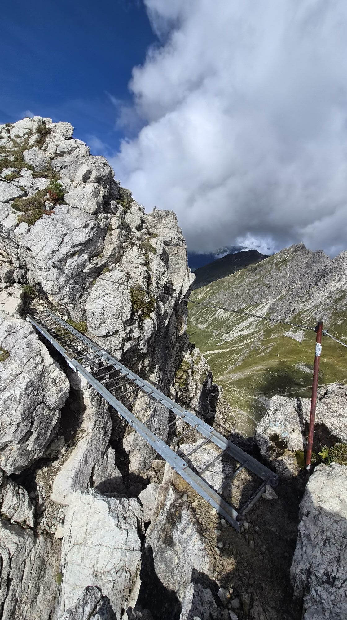
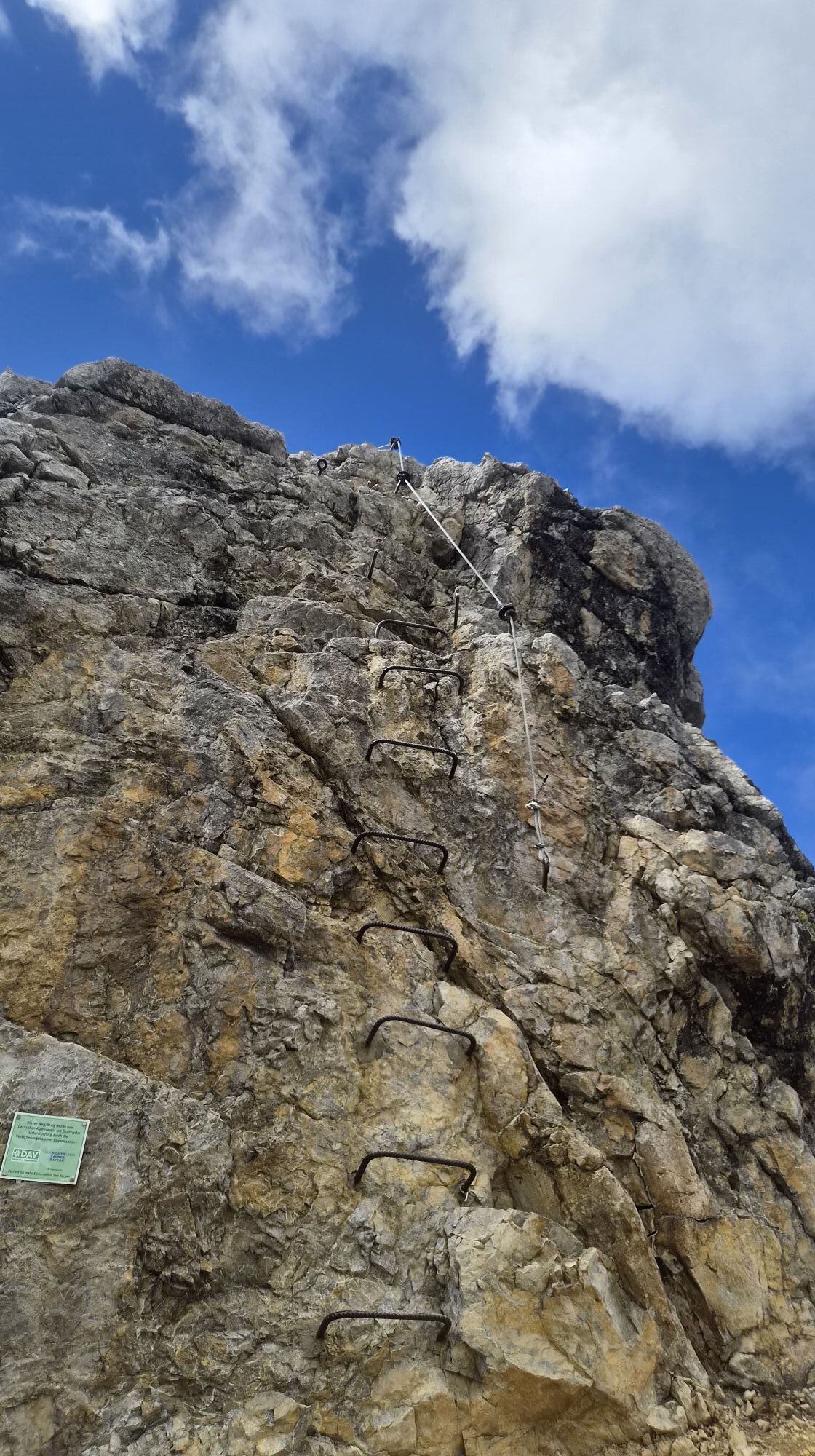
After an initially still easy section follows an overhanging wall (C) and crossing of an angled ladder (B). Over an unsecured section the route leads to the summit of the 3rd Schafalpenkopf. From there it goes down the summit ridge (B/C) and over a short bridge in the form of a horizontal ladder (A/B). The further descent leads over an inclined ramp (A/B) and at some step-poor places supported by iron pegs (B/C) down into the notch between the two Schafalpenköpfe.
The ascent via the sawtooth ridge to the middle Schafalpenkopf partly leads very exposed past ladders, chimneys, and a wall step (B) up to the summit. From there it goes partly unsecured down into a notch (B).
The ascent to the southern Schafalpenkopf continues to an unsecured rock fissure and over a slabby section (A/B) on trail traces to the summit. From there over a ladder (A/B) and a crack corner to the exit of the Mindelheimer via ferrata.
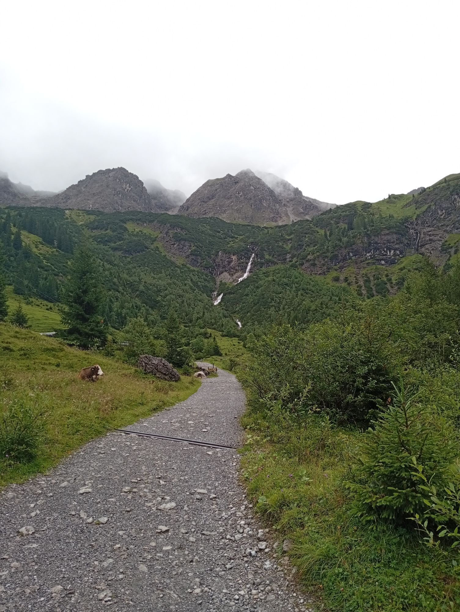
From the exit continue towards Kemptner Kopf and descend via the hiking trail to the ridge into the Kemptner notch. Descend over steep block terrain via the Hintere Wildenalpe to the Fluchtalpe. From there return through the Wildental to Mittelberg, Schwendle.
Áno
Áno
Complete via ferrata equipment required (climbing harness, via ferrata set, helmet)
Sturdy footwear and weatherproof clothing
Alpine experience as well as absolute surefootedness and no fear of heights required! Unsuitable for beginners and inexperienced persons. No escape or emergency exit.
Complete via ferrata equipment required (climbing harness, via ferrata set, helmet). No continuous cable protection on the via ferrata.
There is a danger to life during thunderstorms on via ferratas. Danger of rockfall by those ahead. Proceed at your own risk!
EMERGENCY CALL:
144 Alpine emergencies Vorarlberg
112 European emergency call (works with any mobile phone/network)
When arriving by car, form carpool groups.
Most arrival routes from Germany converge in Ulm and continue on the A7. At the Allgäu motorway junction take the A980 section to the Waltenhofen junction and continue on the four-lane B19 via Sonthofen and Oberstdorf into the Kleinwalsertal.
From Austria (Vorarlberg) and Switzerland you reach Kleinwalsertal via the Bregenzerwald (Hittisau) – Riedberg pass – Fischen – Oberstdorf.
Coming from Tyrol, the fastest route leads via the A7 to Kempten and further on the B19 towards Oberstdorf. You do not need a motorway vignette to drive into the valley.
Starting point of the route: Walserbus line 4, bus stop Schwendle. From there on foot ascent to the Fiderepass hut. This is only accessible on foot.
Return from: Walserbus line 1, bus stop Bödmen
Paid parking spaces are located in the Mittelberg district of Schwendle.
C
The via ferrata is very popular; therefore, during the main season, you must expect oncoming traffic.
This is a long and overall not to be underestimated route. Those who want to tackle it with a bit more time reserve can, instead of descending directly into the Wildental from the exit of the Mindelheimer via ferrata via the Kemptner notch, continue hiking to the Mindelheimer hut and plan an additional overnight stay there.

Webové kamery z prehliadky
-
Bergstation Kanzelwandbahn Riezlern
-
Fellhornbahn Station Schlappoldsee
-
Fellhornbahn Gipfelstation
-
Warth / Hotel Walserberg
-
Fellhorn/Oberstdorf Kleinwalsertal
-
Hirschegg - Naturhotel Chesa Valisa
-
Zaferna Bergstation
-
Mindelheimer Hütte
-
Riezlern - Kinderland
-
Wildentalhütte
-
Mittelberg - Naturhotel Lärchenhof
-
Plattform - Schirmbar Riezlern
-
Hirschegg - Hotel Walserhof
-
Hirschegg - Hotel Birkenhöhe
-
Hirschegg - Hotel Sonnenberg
-
Mittelberg Bödmen - Hotel Alte Krone
-
Mittelberg - Haus Walser Berge
-
Möserbahn Berg
-
Möserbahn Berg
-
Möserbahn Berg
-
Möserbahn Berg
-
Kanzelwand / Fellhorn
-
Fellhorn
-
Mittelberg - Bergpension Starzelhaus
-
Warth-Schröcken - Widdersteinhütte
-
Mittelberg - Gästehaus Otto Fritz
-
Bannholzhof
-
Fellhorn/Oberstdorf Kleinwalsertal
-
Fellhorn/Oberstdorf Kleinwalsertal
-
Fellhorn/Oberstdorf Kleinwalsertal
-
Fellhorn/Oberstdorf Kleinwalsertal
-
Bannholzhof
-
Kleinwalsertal / Haus Keti
-
Kleinwalsertal
-
Riezlern - Haus Peter Paul
-
Riezlern - Landhaus Evi
-
Hirschegg - Hotel Birkenhöhe
-
Kleinwalsertal - Ifenbahn
-
Kleinwalsertal - Kanzelwandbahn
-
Naturhotel Chesa Valisa



Obľúbené výlety v okolí
-
4,9
Gerstruben - zum historischen Bergbauerndorf
strednáTuristika 12,8 km -
4,9
Holzgau zur Rossgumpenalm
strednáTuristika 4,09 km -
4,4
Winterwanderung ins Oytal
strednáZimná turistika 10,1 km -
4,6
Mountain tour over the Fellhorn ridge
strednáTuristika 8,24 km -
4,8
Circular hike through the Gemsteltal
svetloTuristika 5,53 km -
4,2
2-Länder-Panorama-Rundwanderweg Fellhorn/Kanzelwand
svetloTuristika 6,70 km -
4,5
Circular hike through the Derratal
strednáTuristika 8,11 km -
4,7
Circular hike through the Duratal
strednáTuristika 7,77 km -
4,7
Widderstein Runde von Baad
strednáTuristika 15,8 km -
4,7
E5 - 1. Etappe: Oberstdorf - Kemptner Hütte
svetlodiaľková pešia trasa 7,80 km
Turistika a stopovanie


Nenechajte si ujsť ponuky a inšpiráciu na ďalšiu dovolenku
Vaša e-mailová adresa bol pridaný do poštového zoznamu.





