







Around the Imberg
Úroveň náročnosti: S1
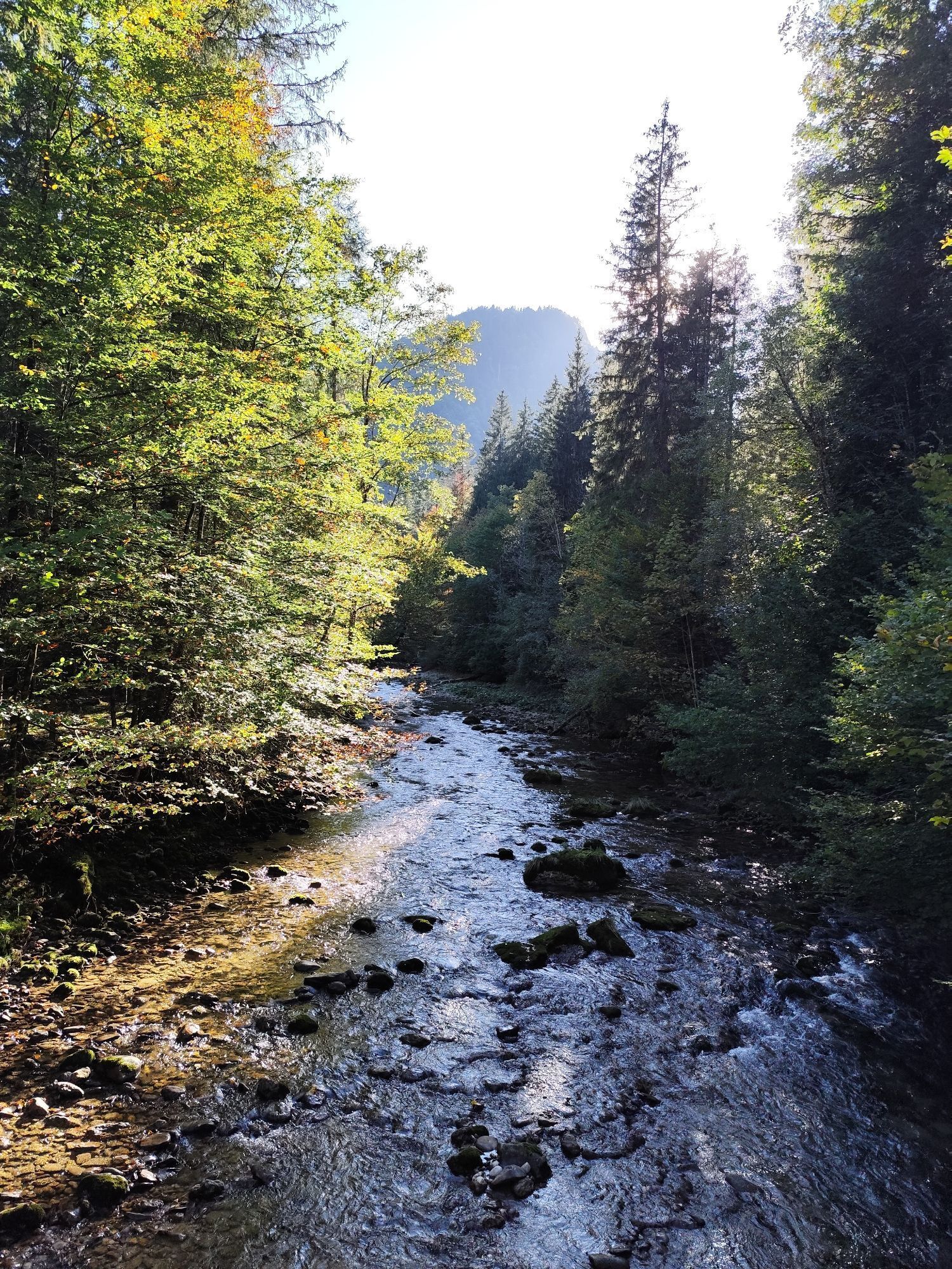
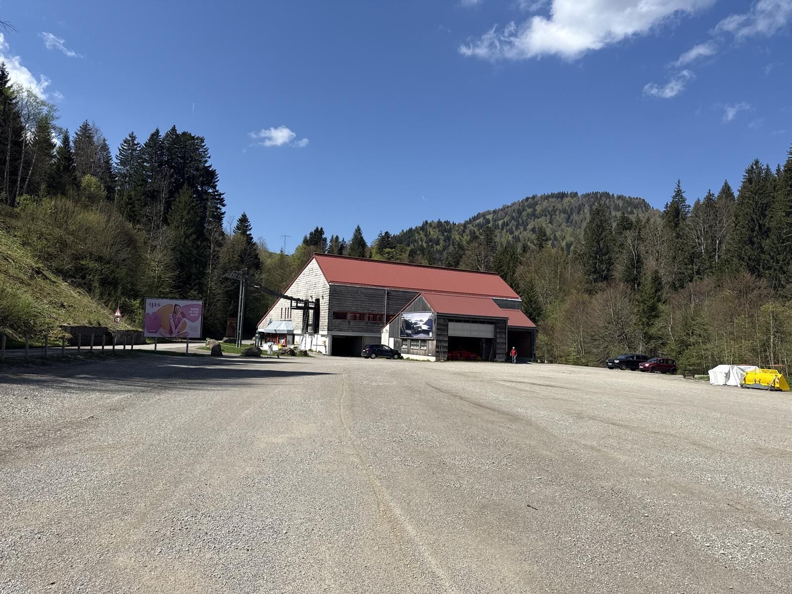
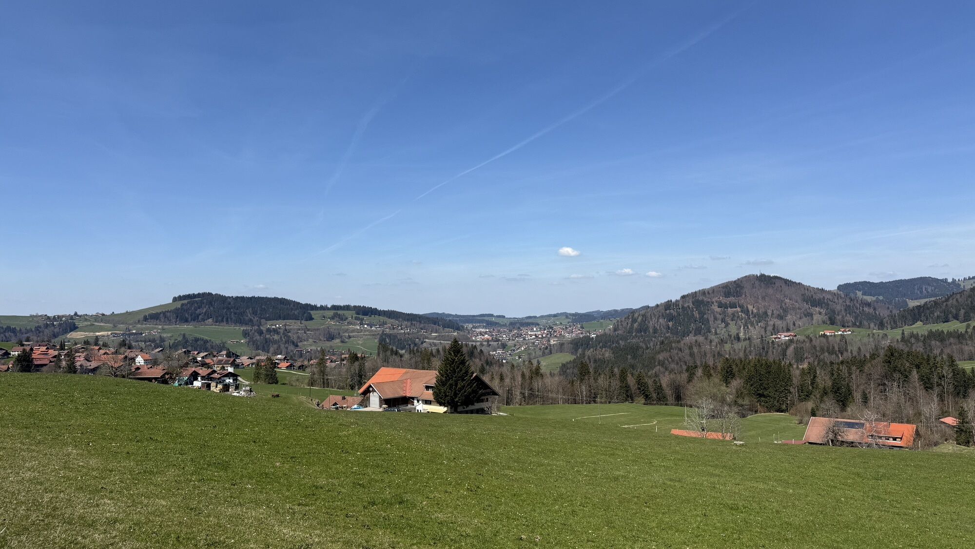
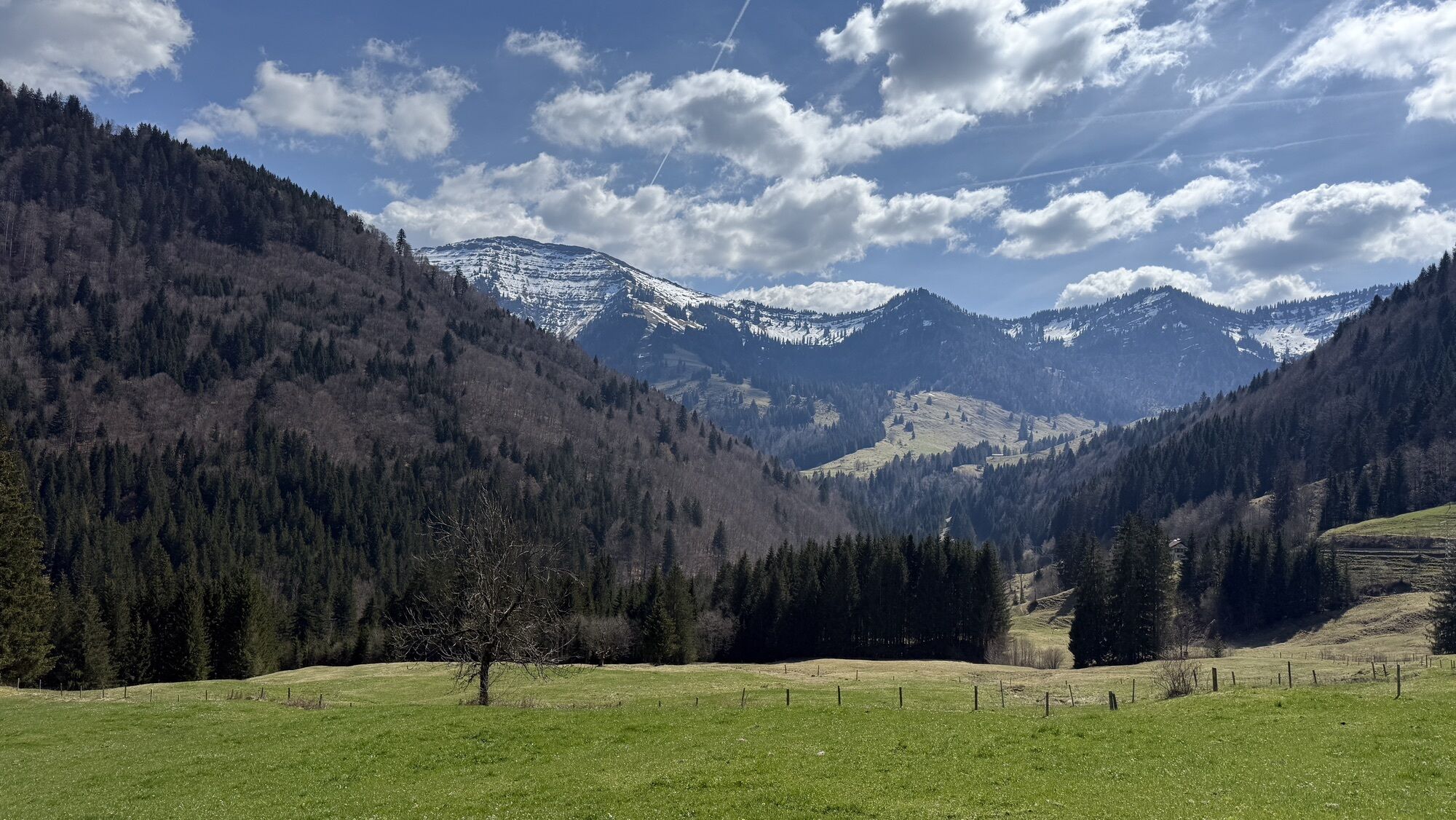
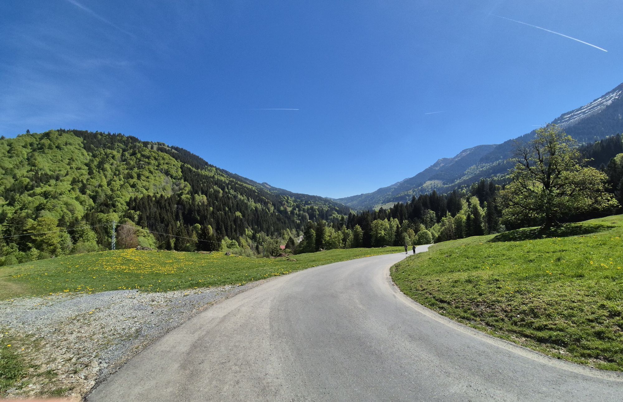
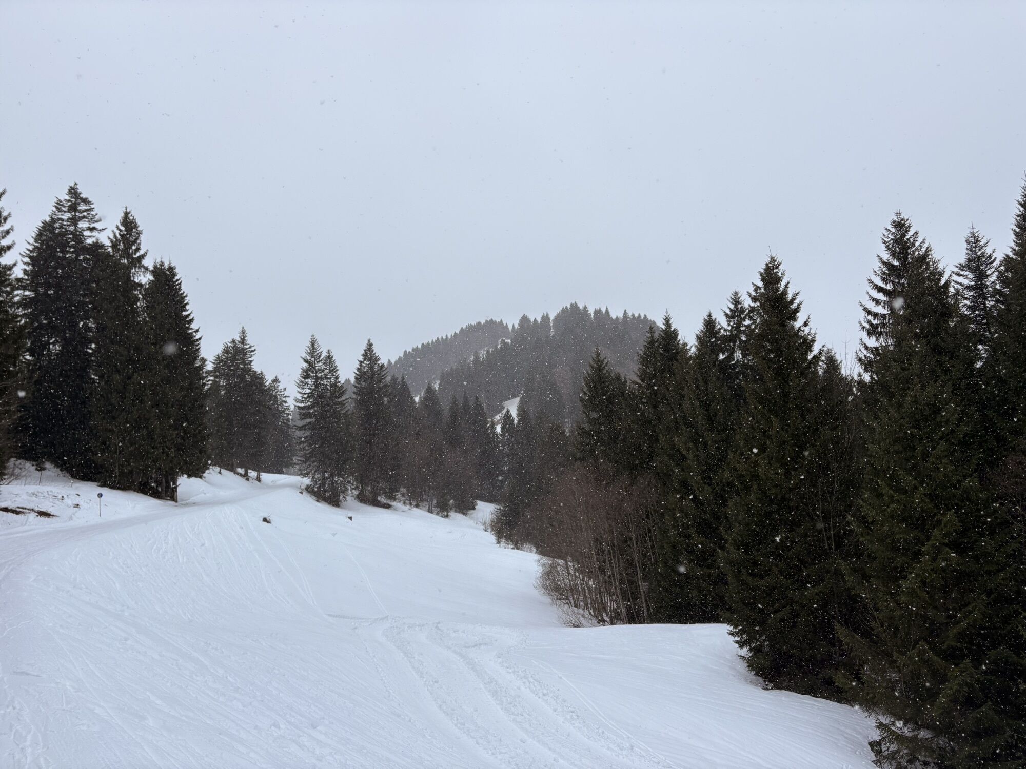
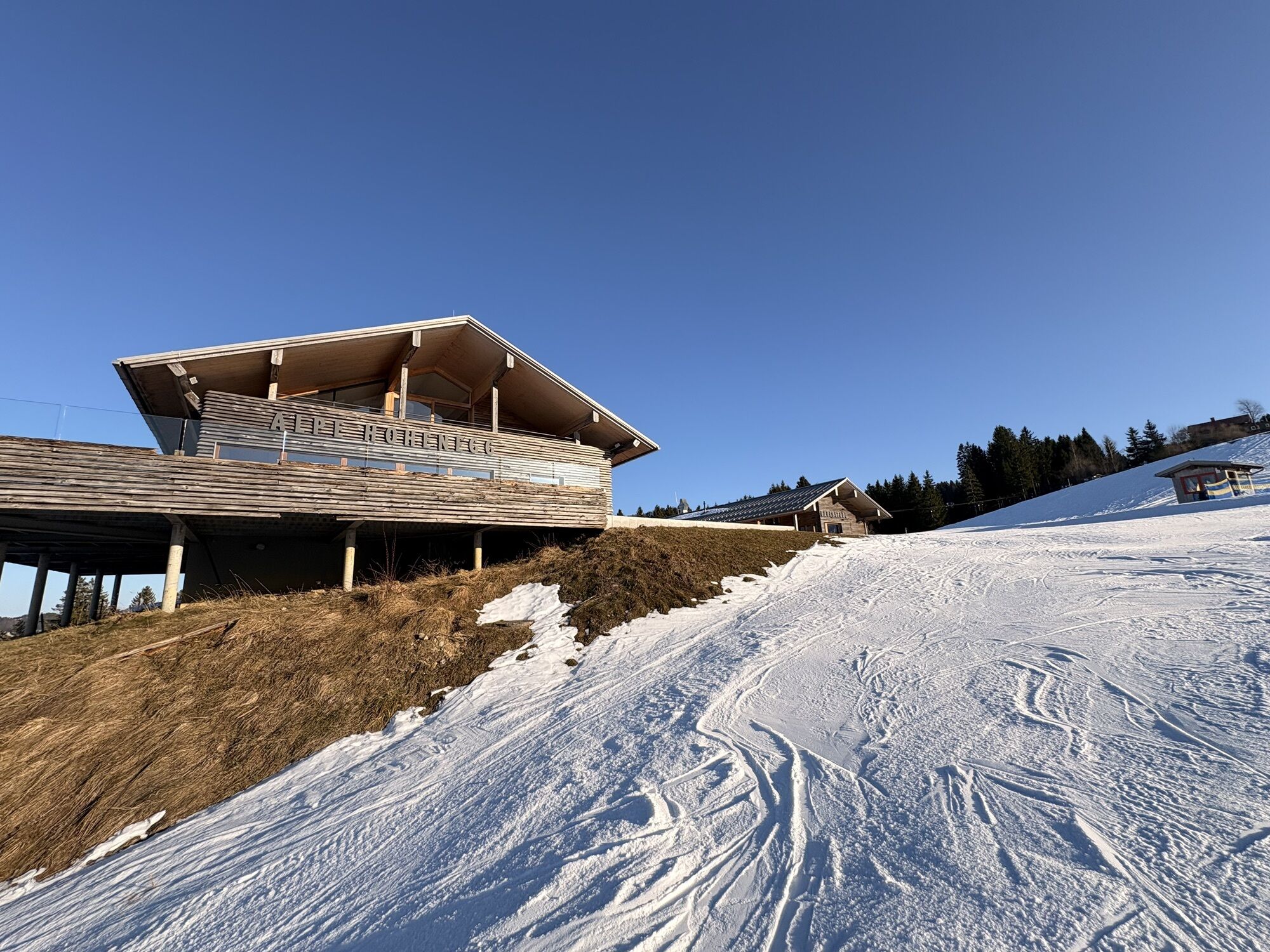
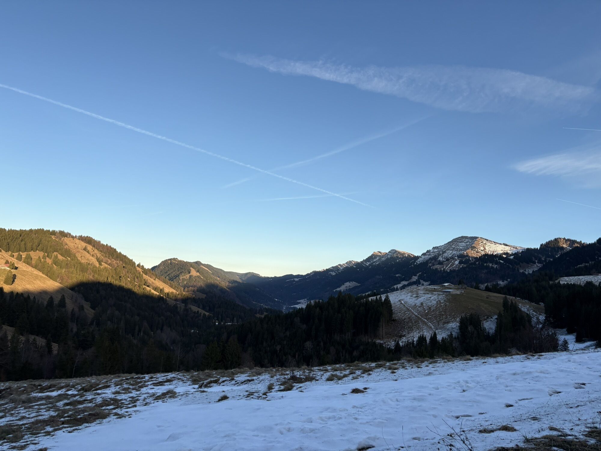
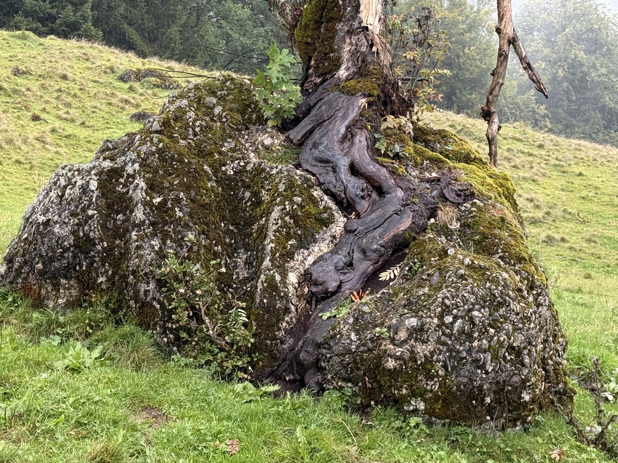
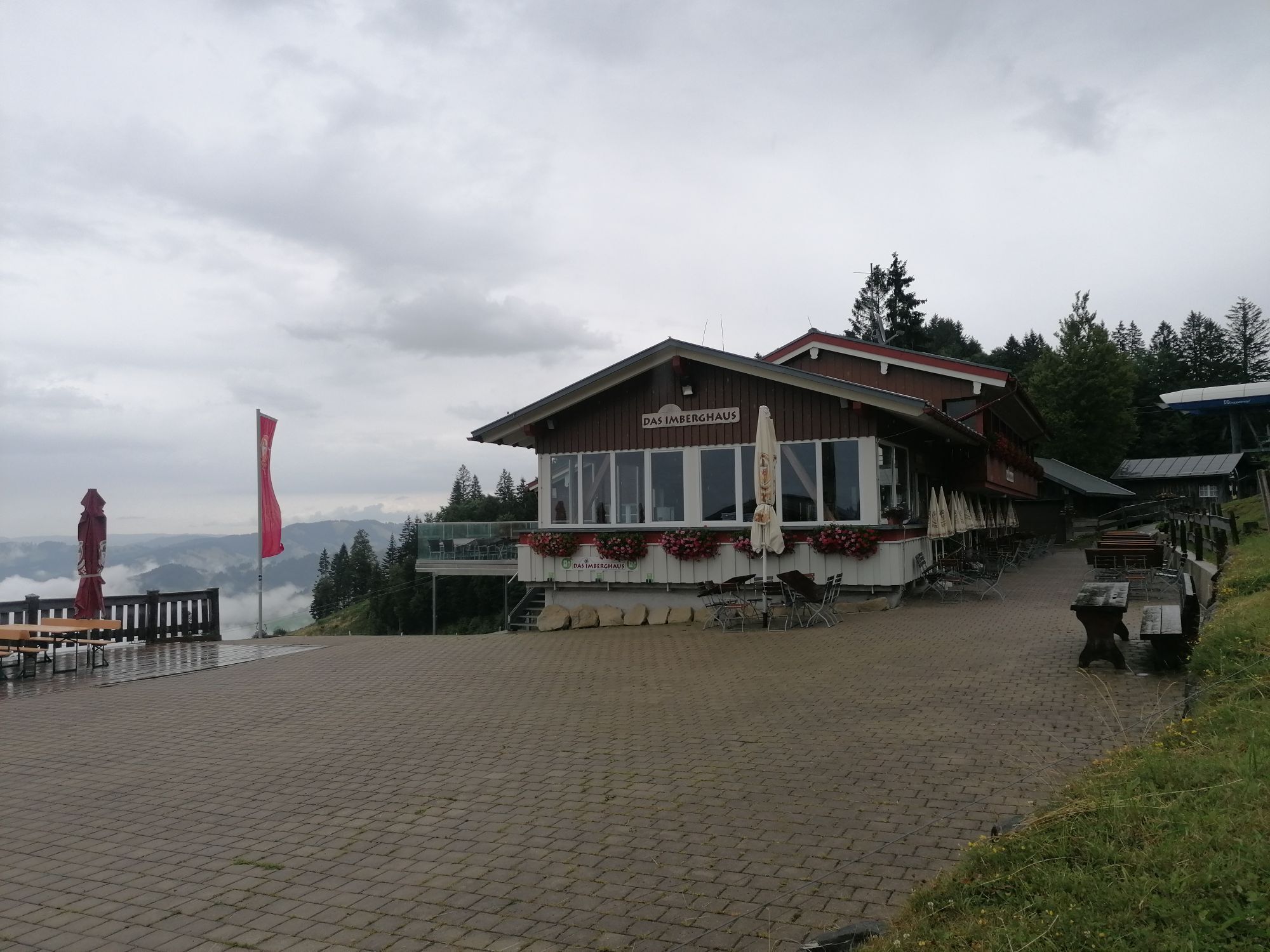
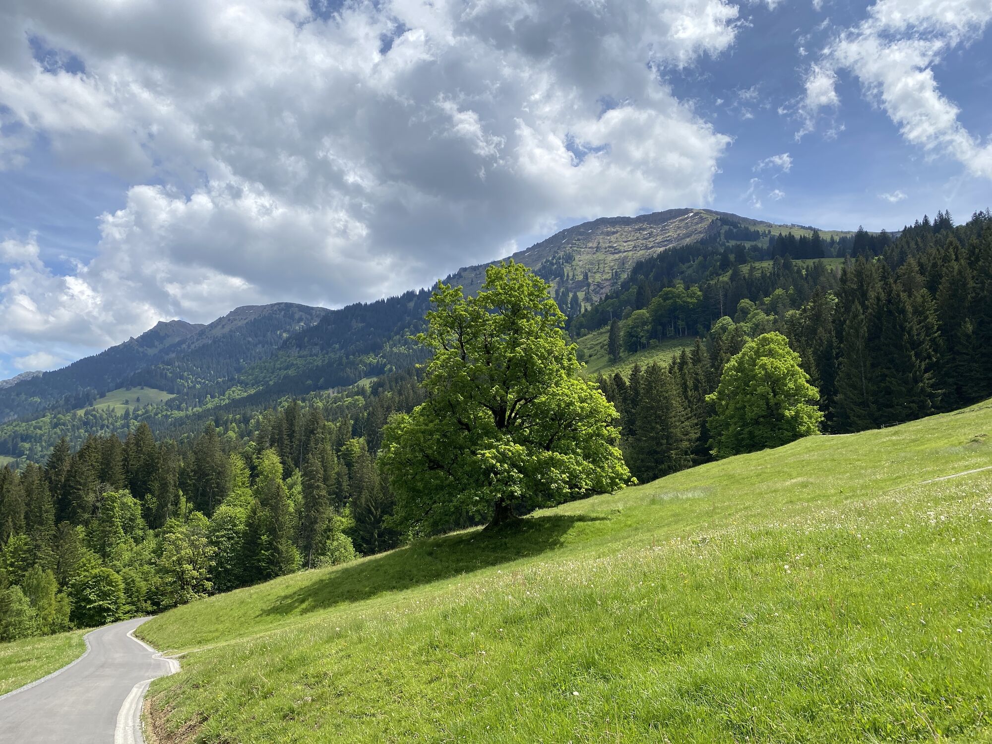
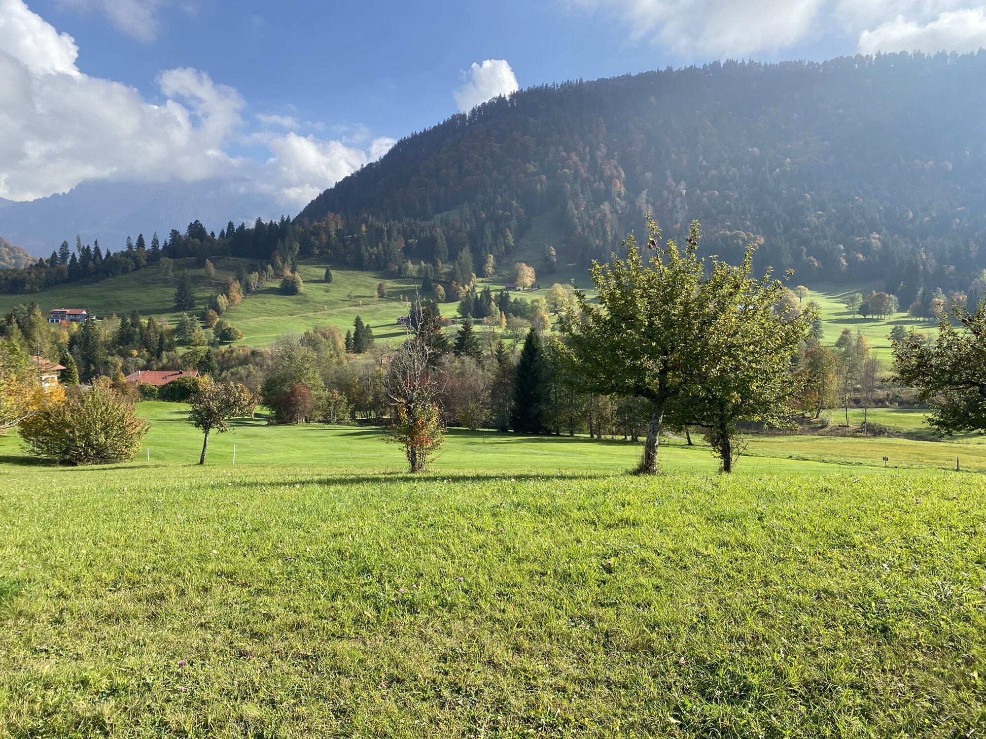
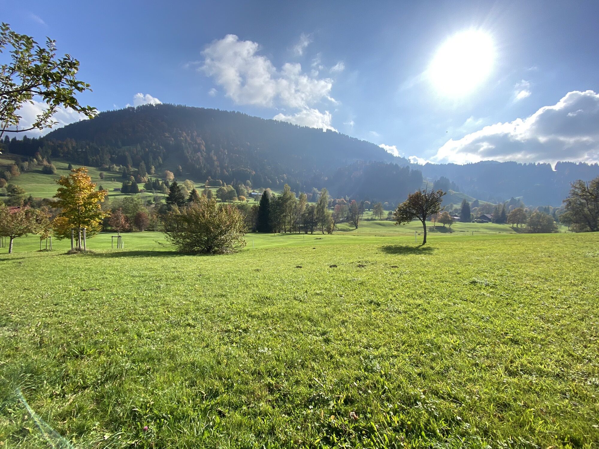
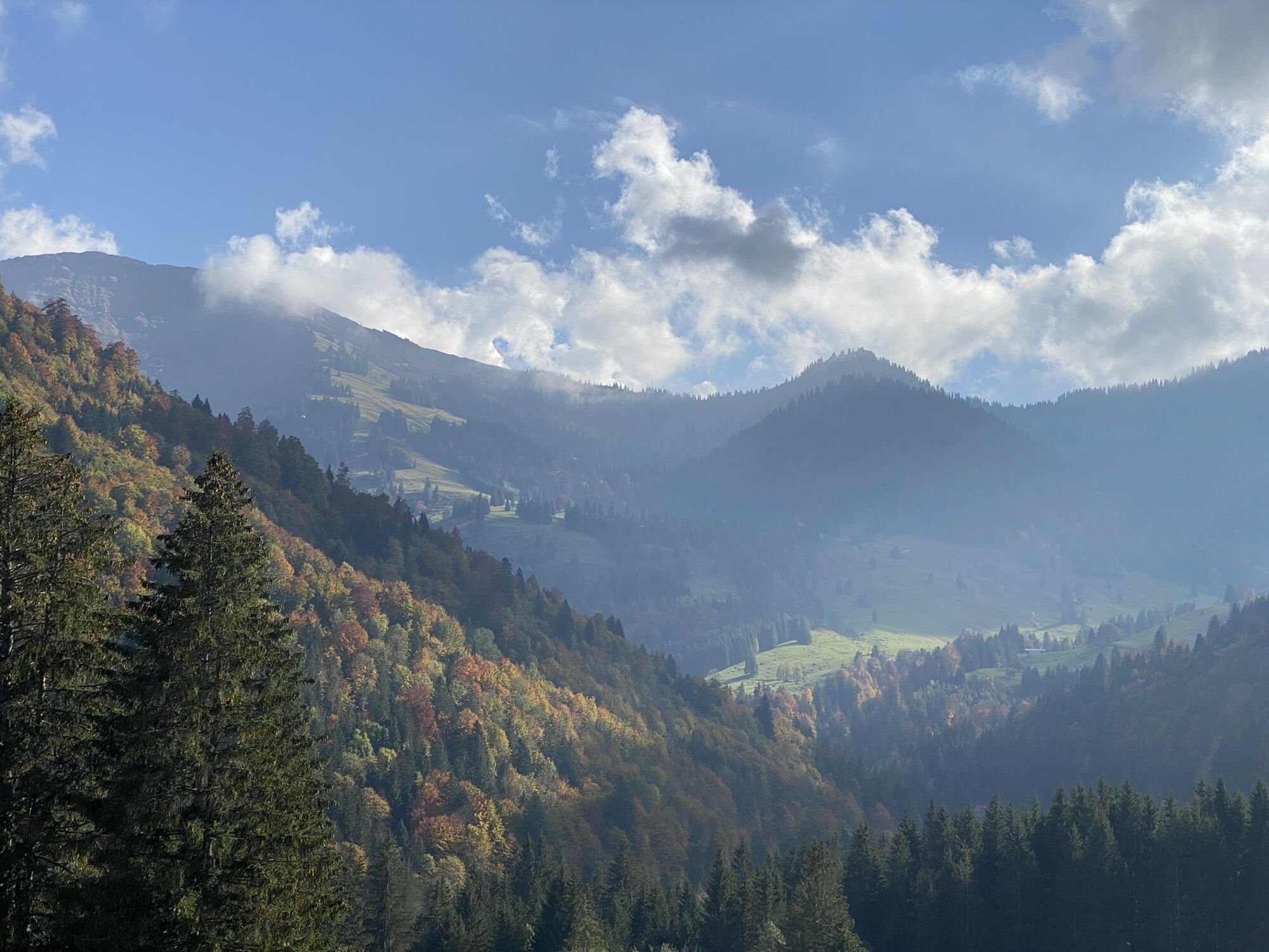
The circular route starts and ends at the Imbergbahn valley station. First on the road towards Hochgrat up to the so-called Giebel, from where you get a first direct view of the mighty Hochgrat. At the...
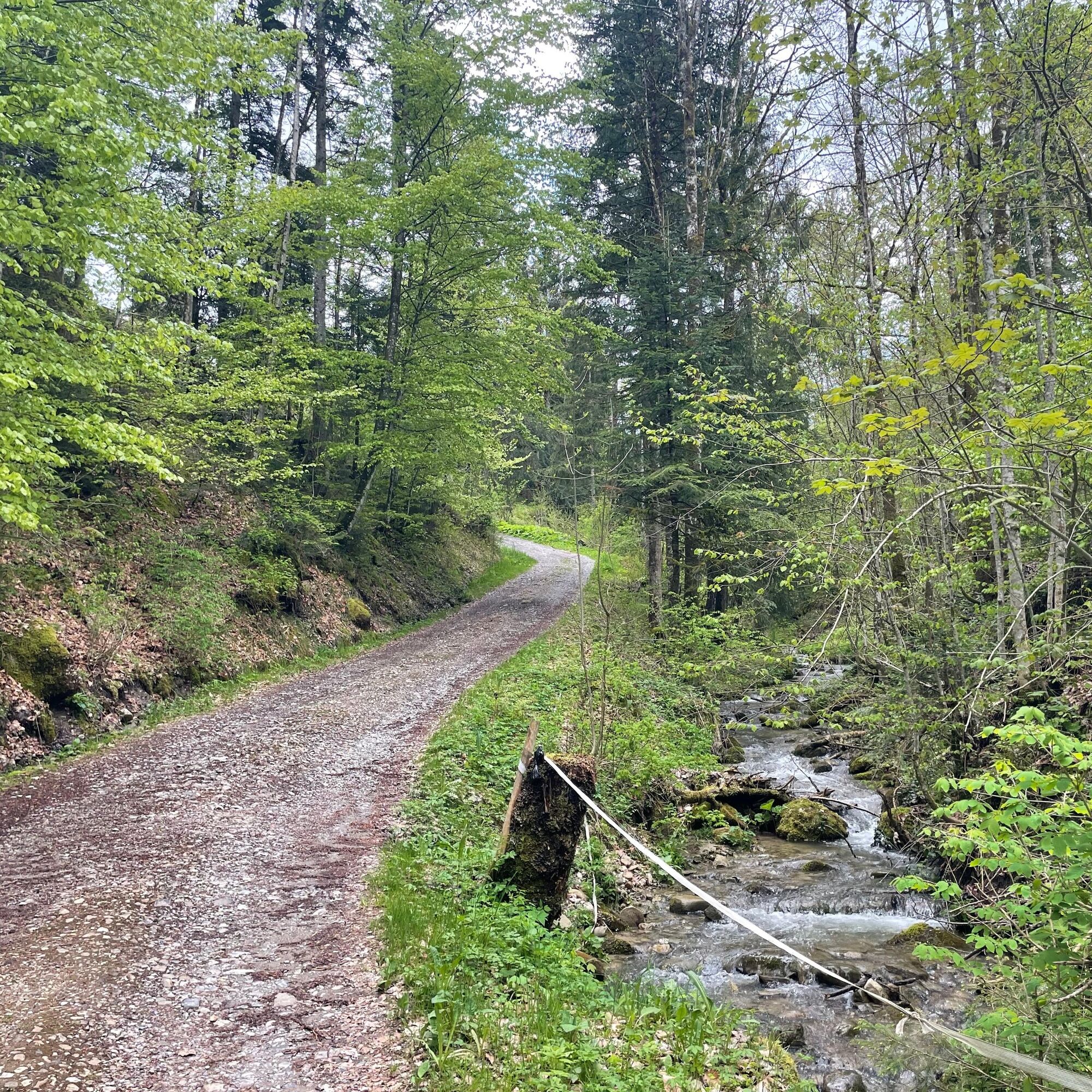
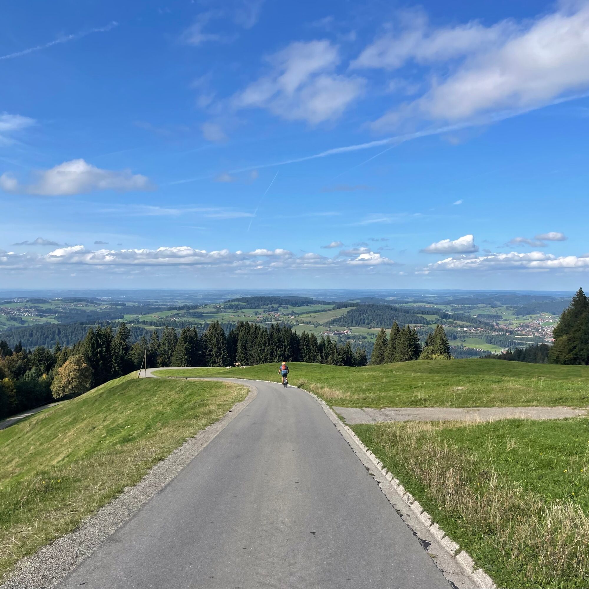
The circular route starts and ends at the Imbergbahn valley station. First on the road towards Hochgrat up to the so-called Giebel, from where you get a first direct view of the mighty Hochgrat. At the Berggasthof Hirsch it goes downhill along the forest edge. Passing several flowgates, you reach the Tarzansteg, cross it and follow the trail upstream to Hochgrat. With consideration for pedestrians across the parking lot. Then right under the railway and at the next fork follow the steep paved hiking trail towards the mountain station. After about 1.5 kilometers turn right and continue on gravel. It passes the Unterstieg alp, then a steep climb to Morgen alp must be tackled. Continue on gravel past some veteran trees to the Mittlere Stiegalpe. A bumpy descent follows, then it’s time to pedal once again uphill past the Ziehen alp. Shortly after, we turn right and follow the flowing path through a small forest. We pass three flowgates, ride past the Eineneck alp on the left and shortly thereafter reach the paved alp road, which we follow towards Imberghaus. With a clear view of Oberstaufen, we either roll back leisurely on the alp road to the valley station of the Imbergbahn or more demanding ride to Hohenegg alp, from there via the valley station of the Fluhexpress on the Fairtrail path, which leads back to the starting point via the Bärenloch alp.

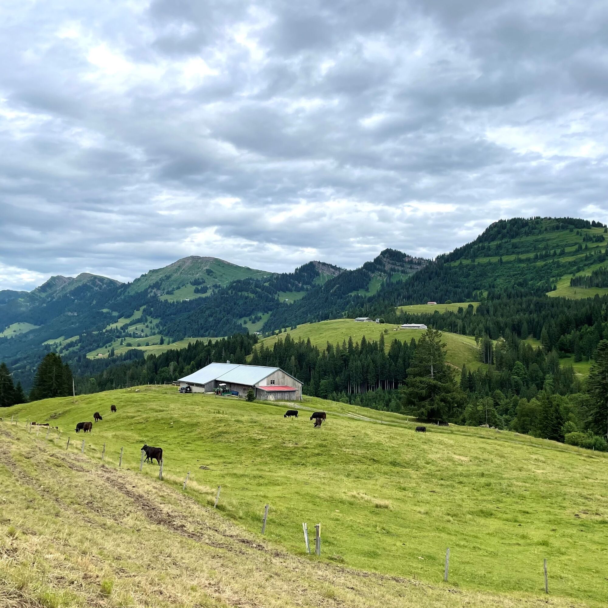
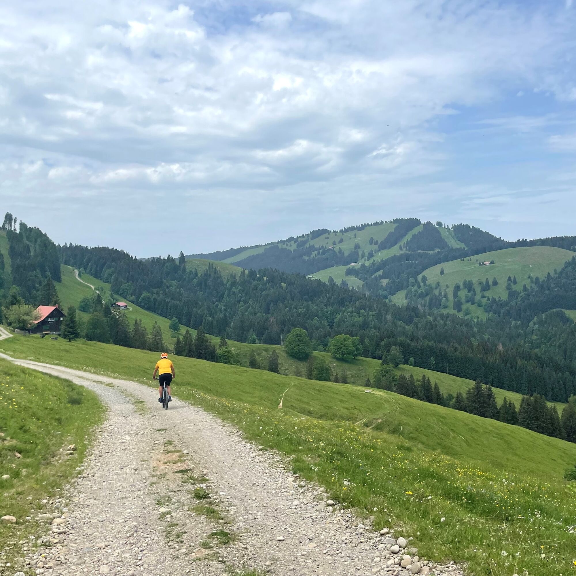
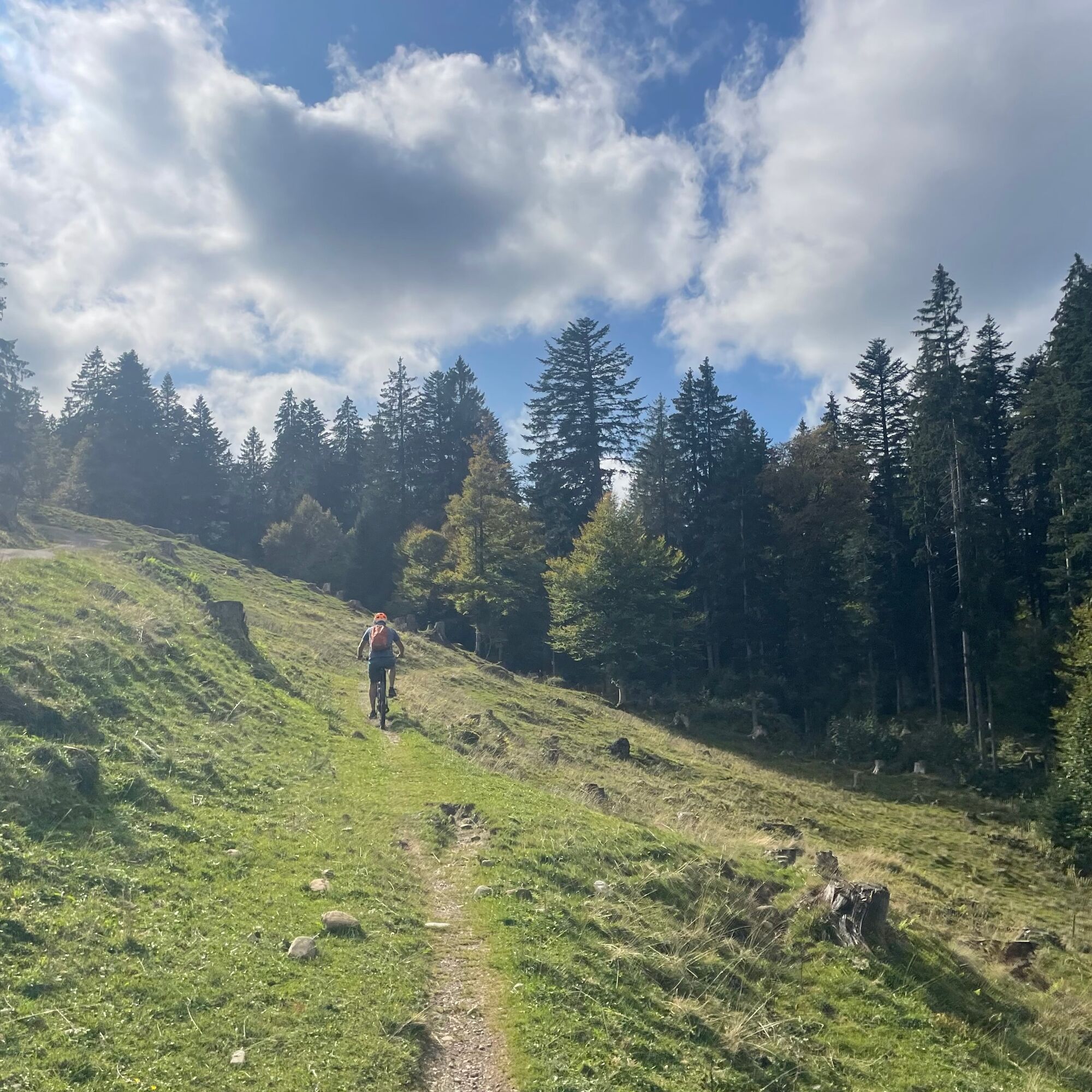
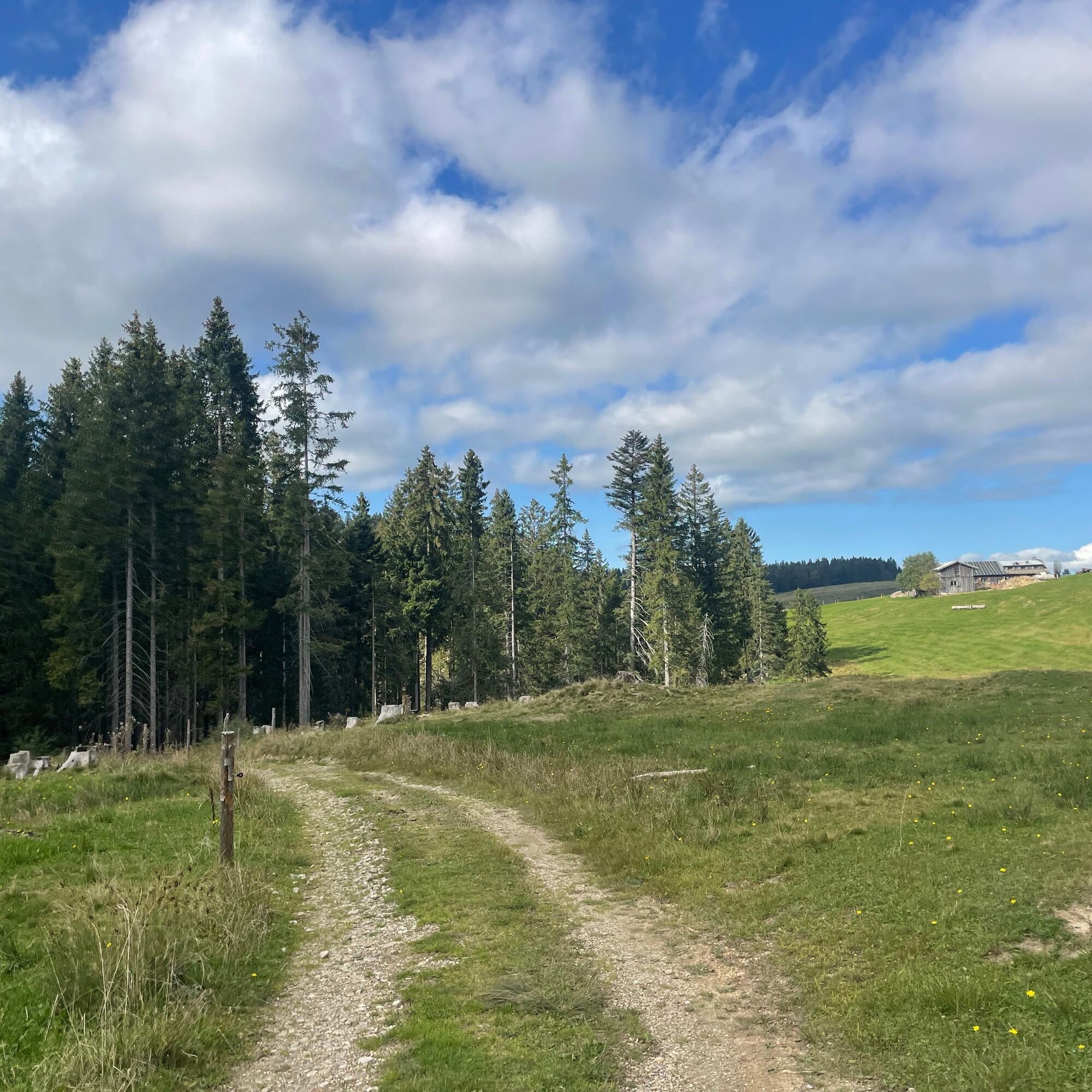
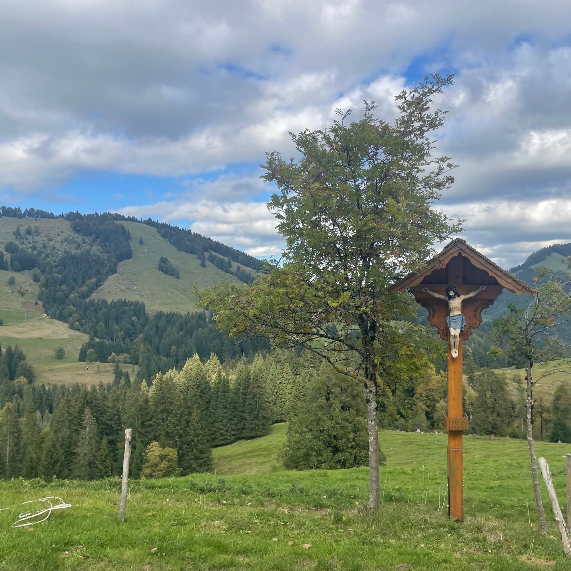

Imbergbahn valley station - towards Hochgrat - Tarzansteg - Hochgratbahn valley station - Unterstieg alp - Mittelstieg alp - Lower Ziehen alp - Imberghaus - Imbergbahn valley station
Imbergbahn valley station
S1
What does difficulty S1 mean: On S1 trails, smaller obstacles such as shallow roots, small stones and water grooves must be rolled over. The gradient is a maximum of 40%. Basic riding skills such as controlled braking and body shifting are necessary.
Note: The route is not explicitly signposted, GPX data are available for navigation.
Tip 1: Those who want can combine the bypass of the Imberg with the "Steibinger pleasure route".
Tip 2: After the Eineneck alp on the road up to Hochwiesalpe, then continue to the Almhotel Hoch Häderich. From there uphill to the Hennenmoos alp, downhill to Riefensberg and either via Hochlitten and Schindelberg or via Aach back to Oberstaufen.

Webové kamery z prehliadky
Získajte prehľad
Vždy naživo na mieste s viac ako 9 500 webovými kamerami. bergfex Ako používateľ Pro si teraz môžete pozrieť príslušné webové kamery pre mnohé zájazdy v aplikácii zájazdy z. Môžete si tak priamo prezerať aktuálne podmienky.
Obľúbené výlety v okolí
-
4,7
Winterstaude
strednáTuristika 9,30 km -
4,6
Steibis - Buchenegger Waterfalls
strednáTuristika 6,47 km -
4,6
Hittisau | Wasserwanderweg
svetloTematická trasa 7 km -
4,6
Panoramarundweg Baumgarten - Niedere
svetloTuristika 3,76 km -
4,7
Rindalphorn und Hochgrat
strednáTuristika 15,6 km -
5,0
Nagelfluh ridge route Hochgrat - Mittag
ťažkéTuristika 14,0 km -
4,9
Immenstädter Horn
svetloTuristika 9,35 km -
4,5
Immenstädter Horn - Gschwender Horn
svetloTuristika 10 km -
3,7
Rundtour Mittag
svetloTuristika 15,7 km -
5,0
Siedelalpe Runde von See - Immenstadt
svetloTuristika 10,3 km
Turistika a stopovanie


Nenechajte si ujsť ponuky a inšpiráciu na ďalšiu dovolenku
Vaša e-mailová adresa bol pridaný do poštového zoznamu.





