






Circular route around the Hauchenberg

Úroveň náročnosti: S1
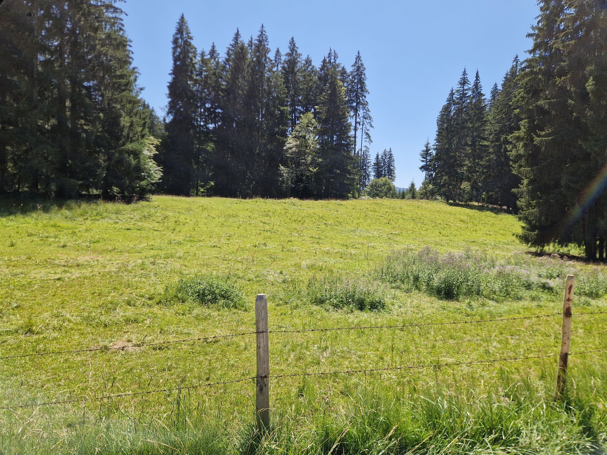
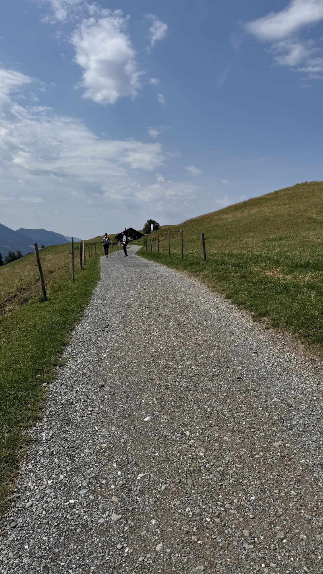
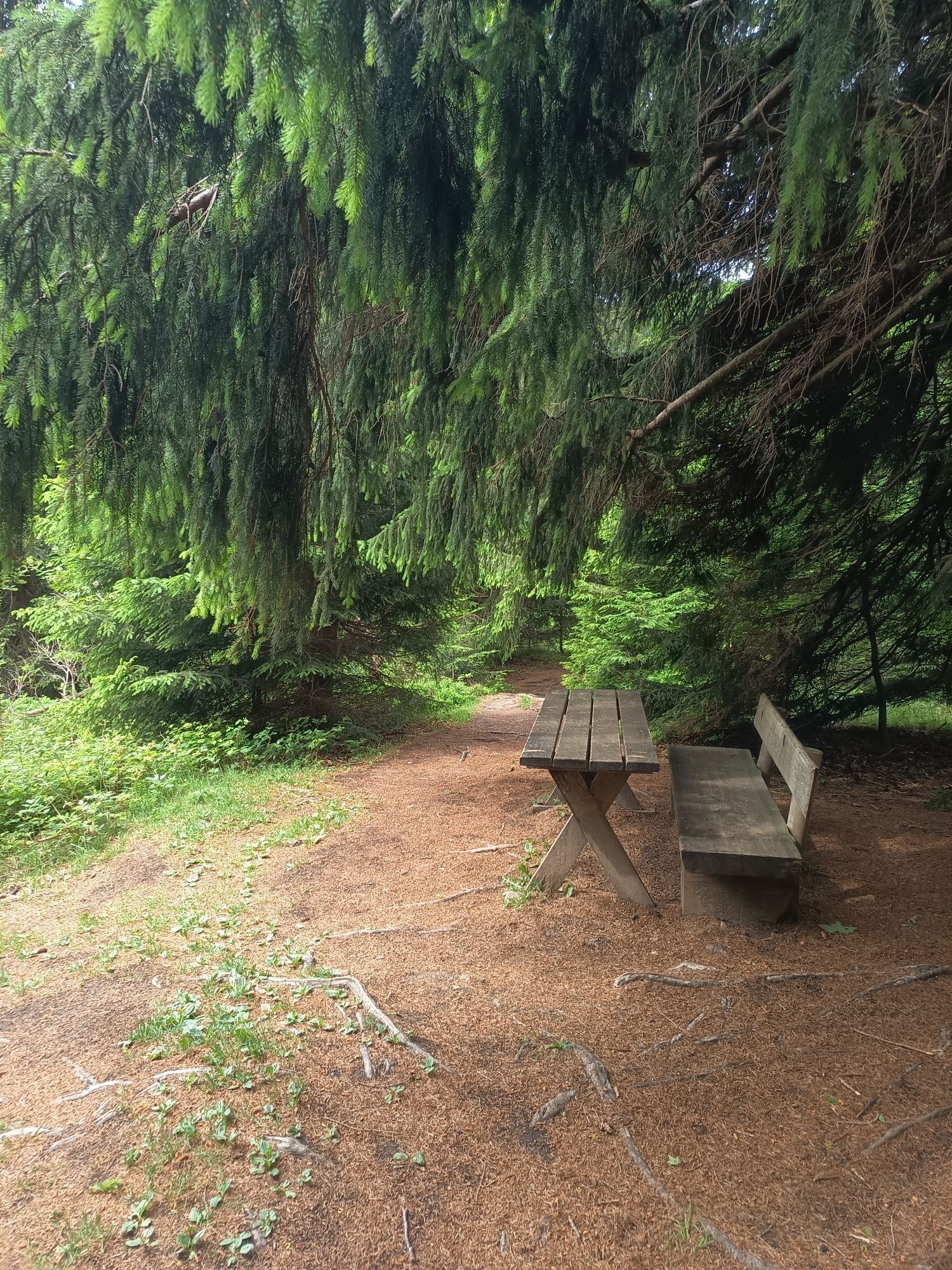
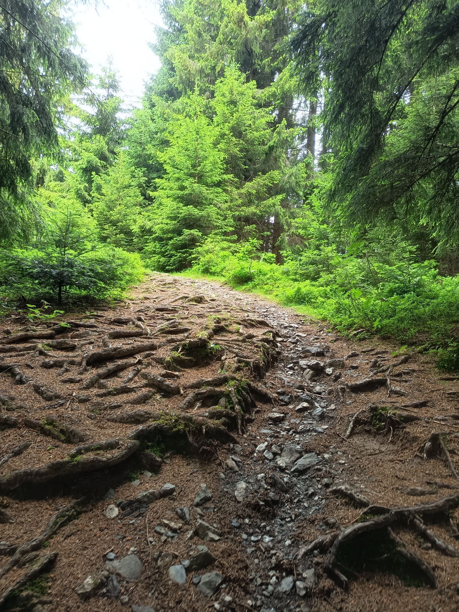
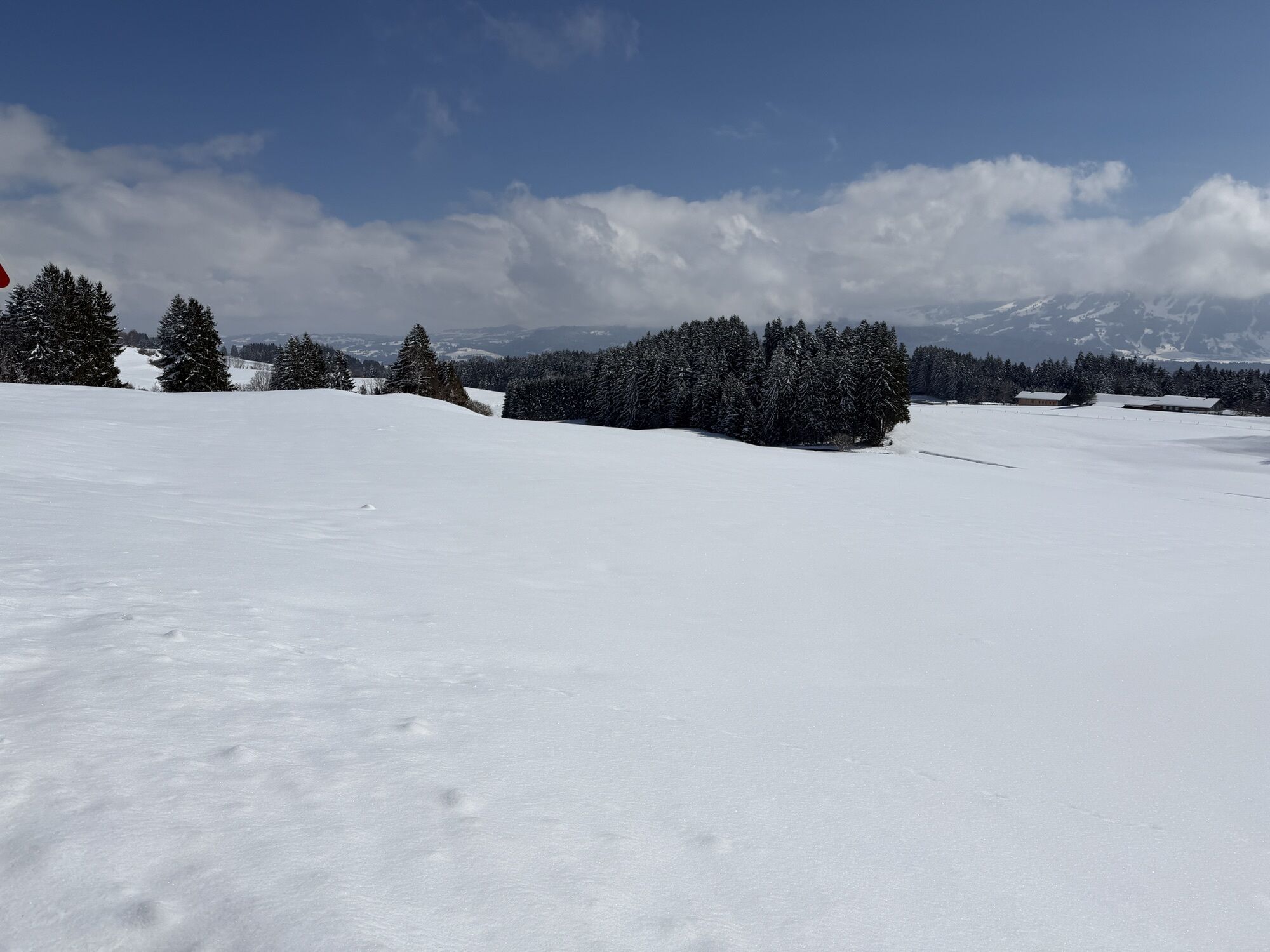
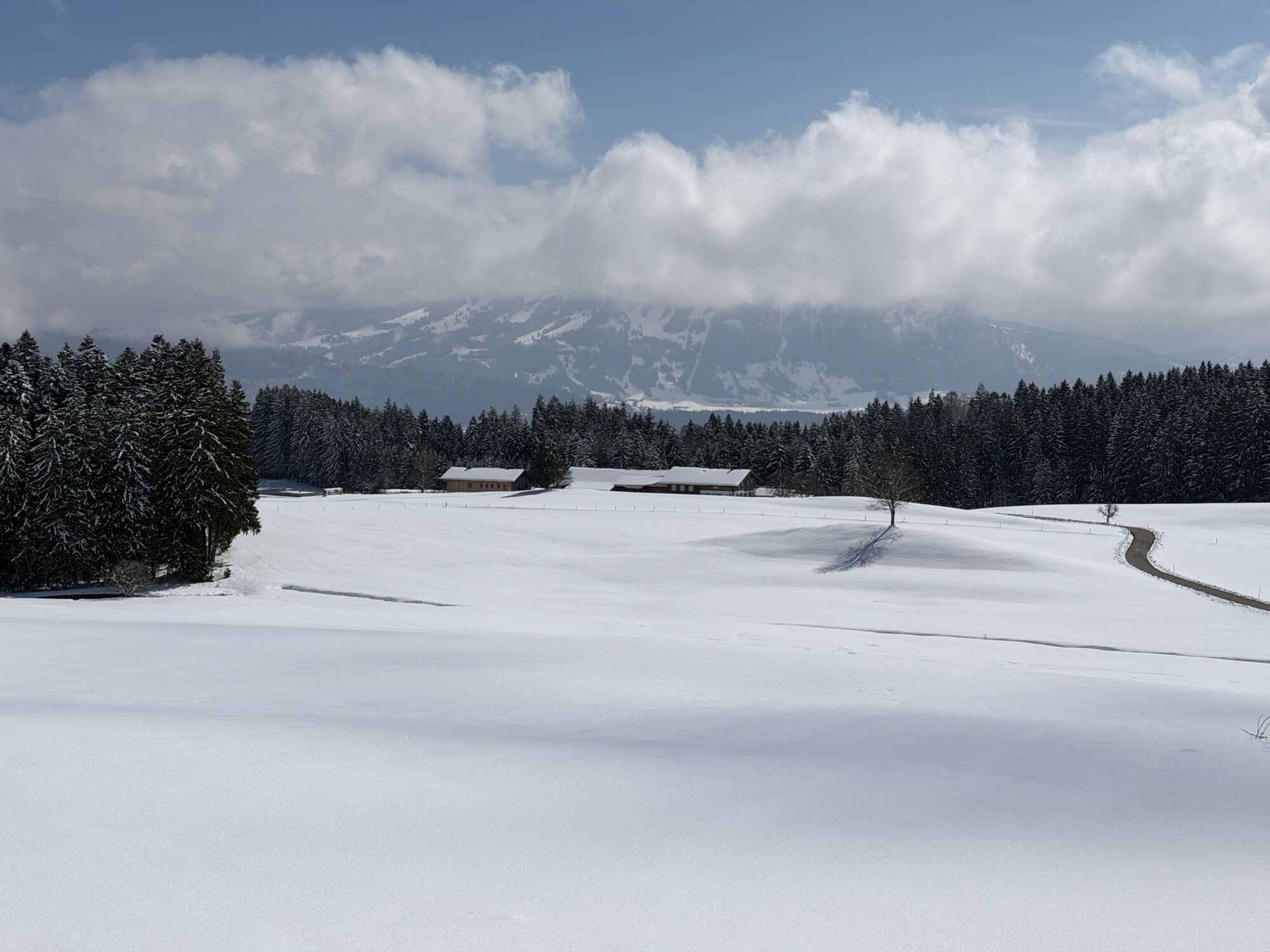
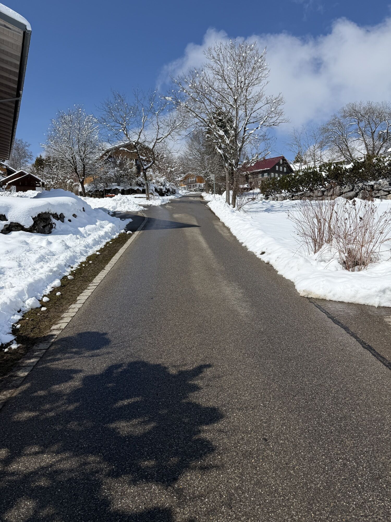
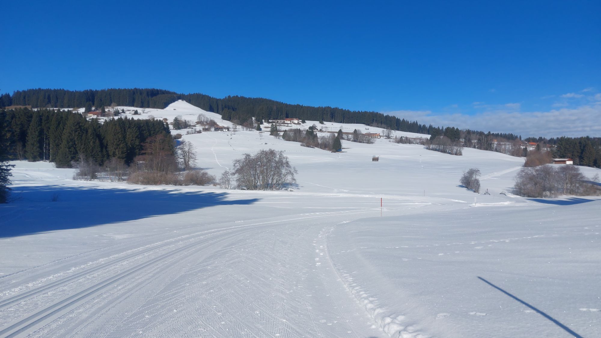
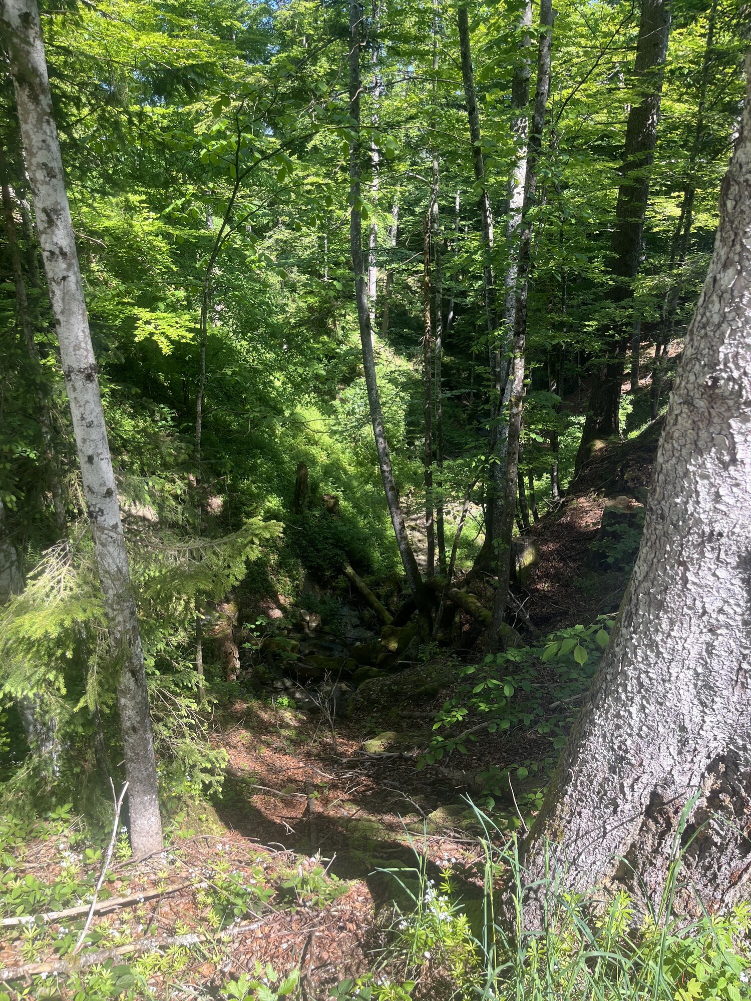
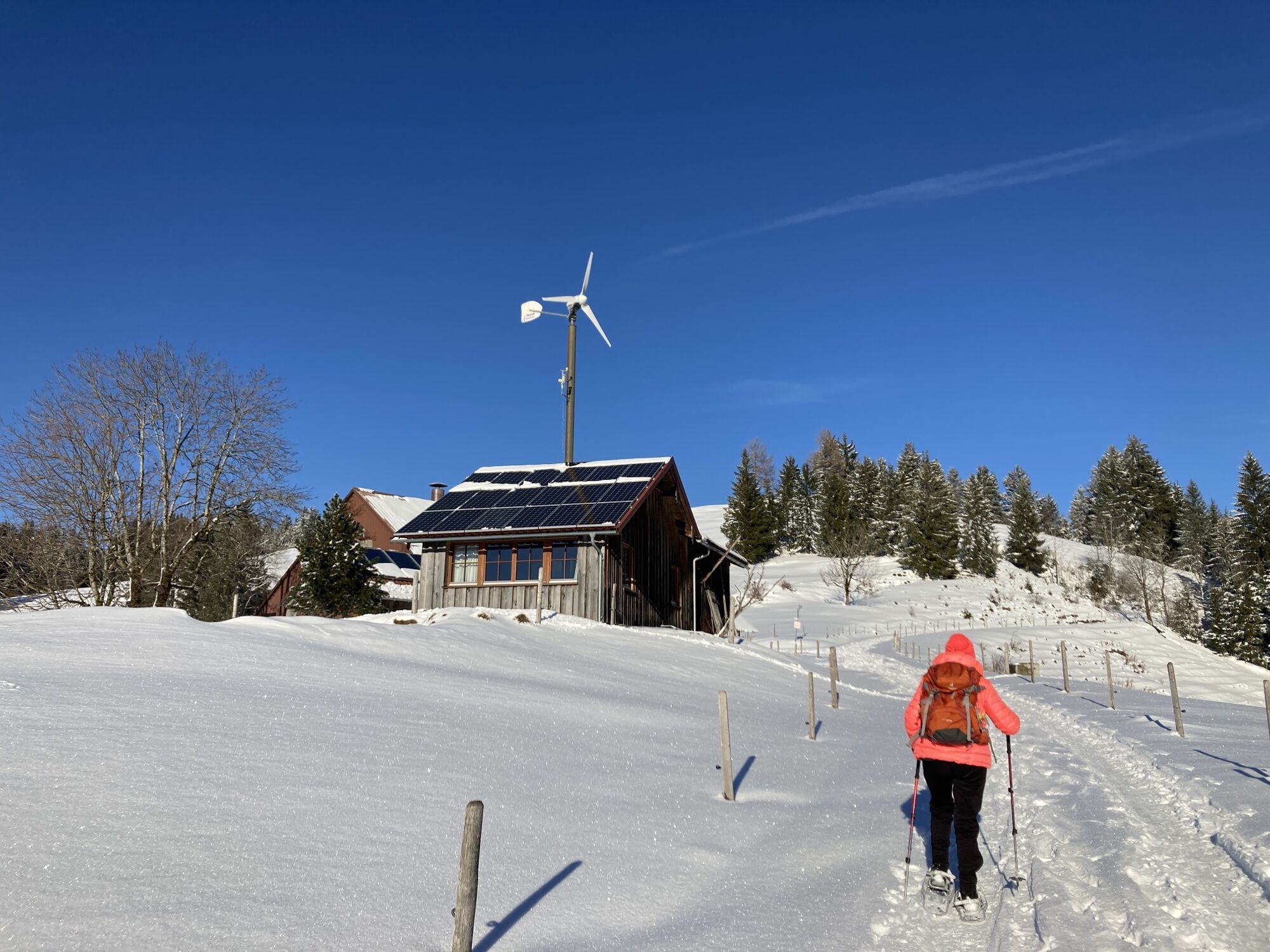
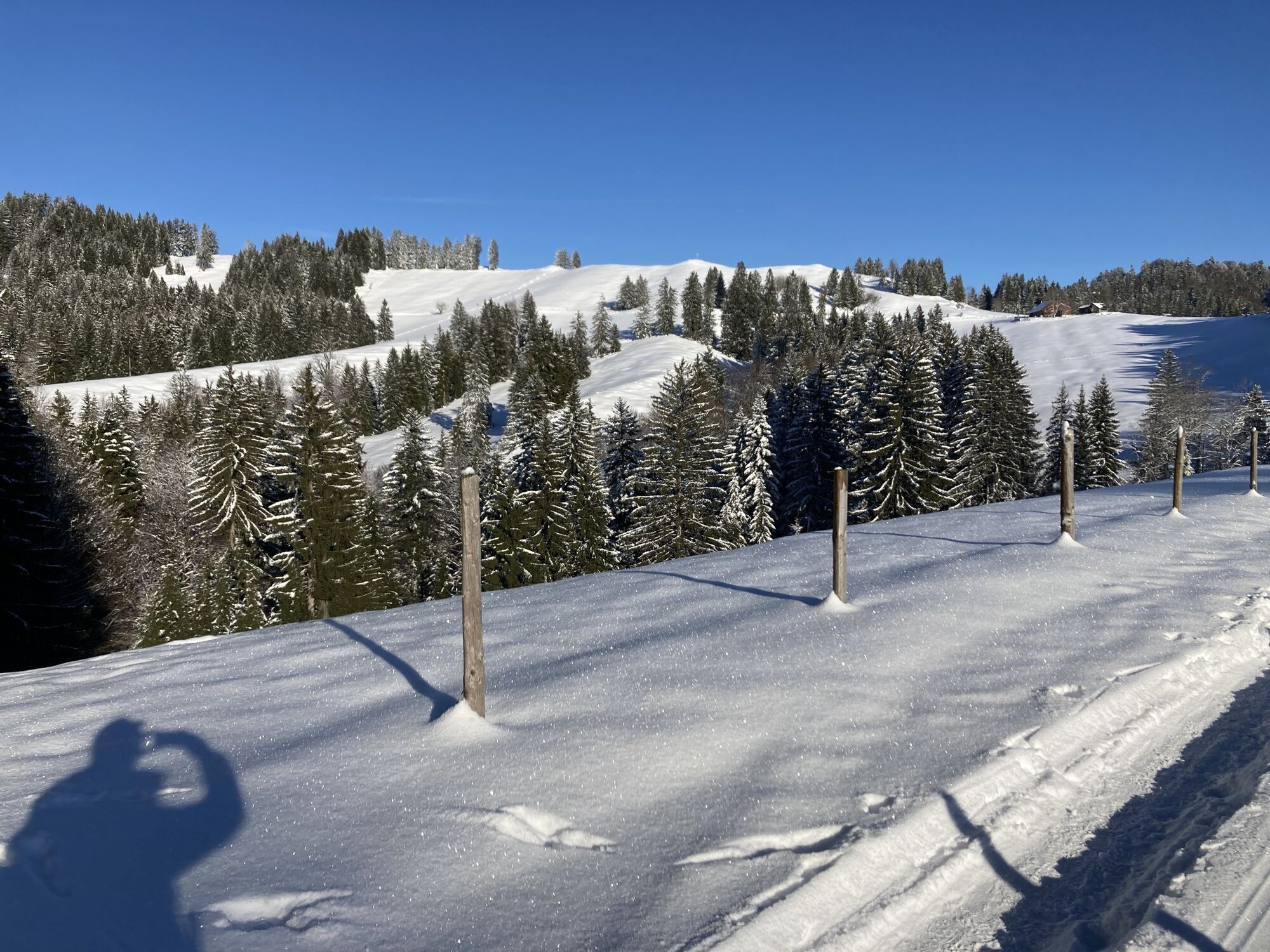
From the station to Buflings and Zell, continue following the road. After a short descent on the street, head uphill to Mutten and Trabers. At the crossroads, continue straight into the Rote Heide and...
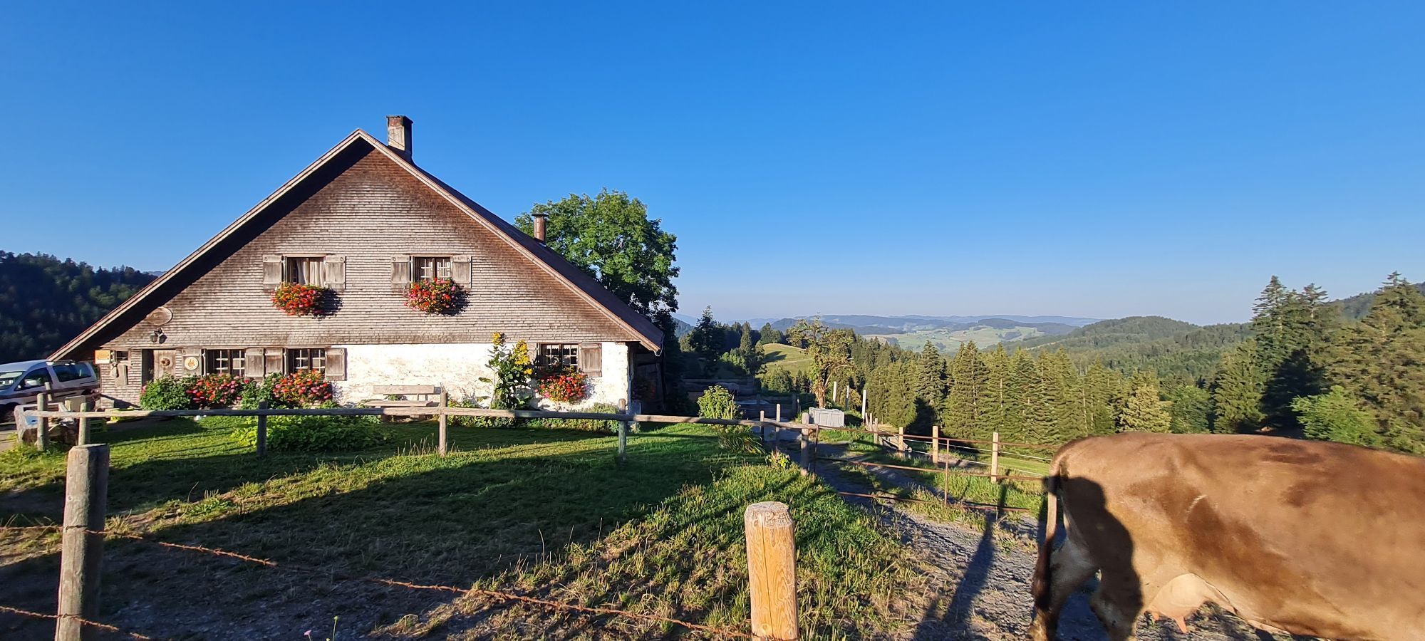
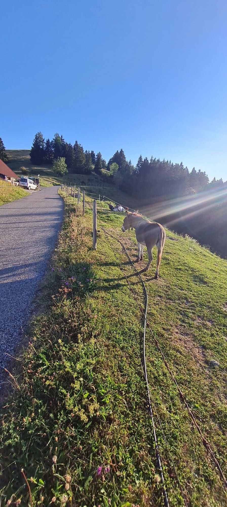
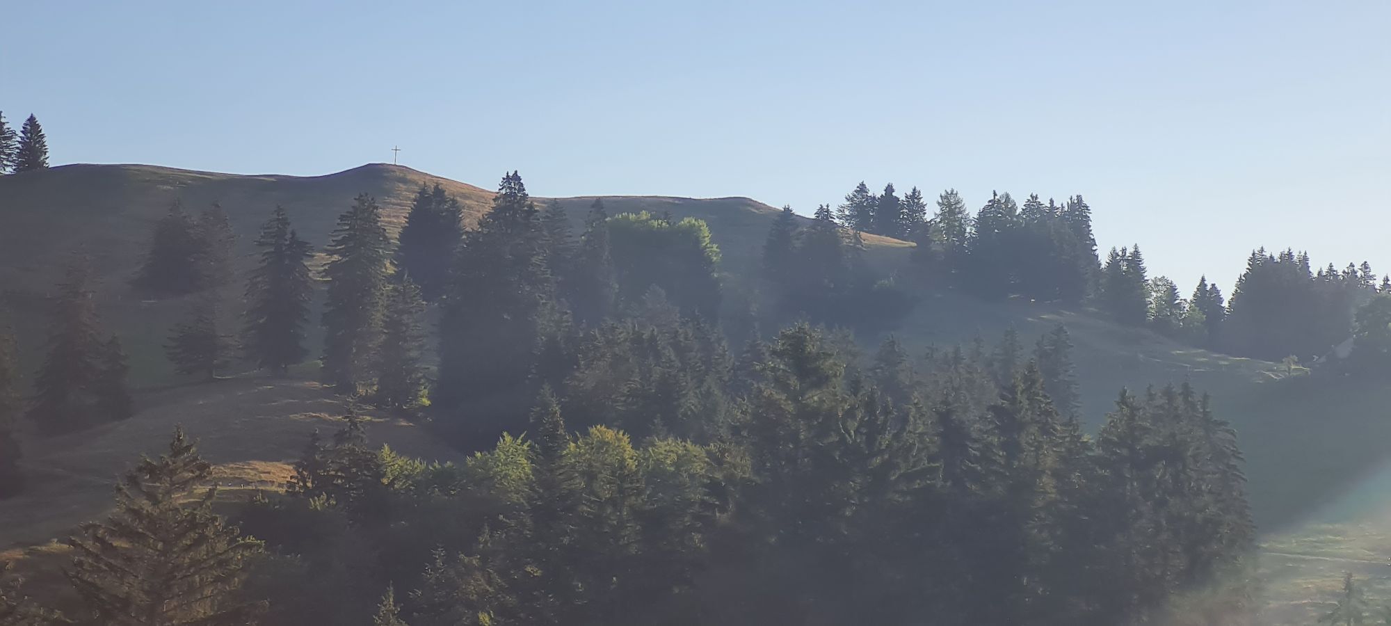
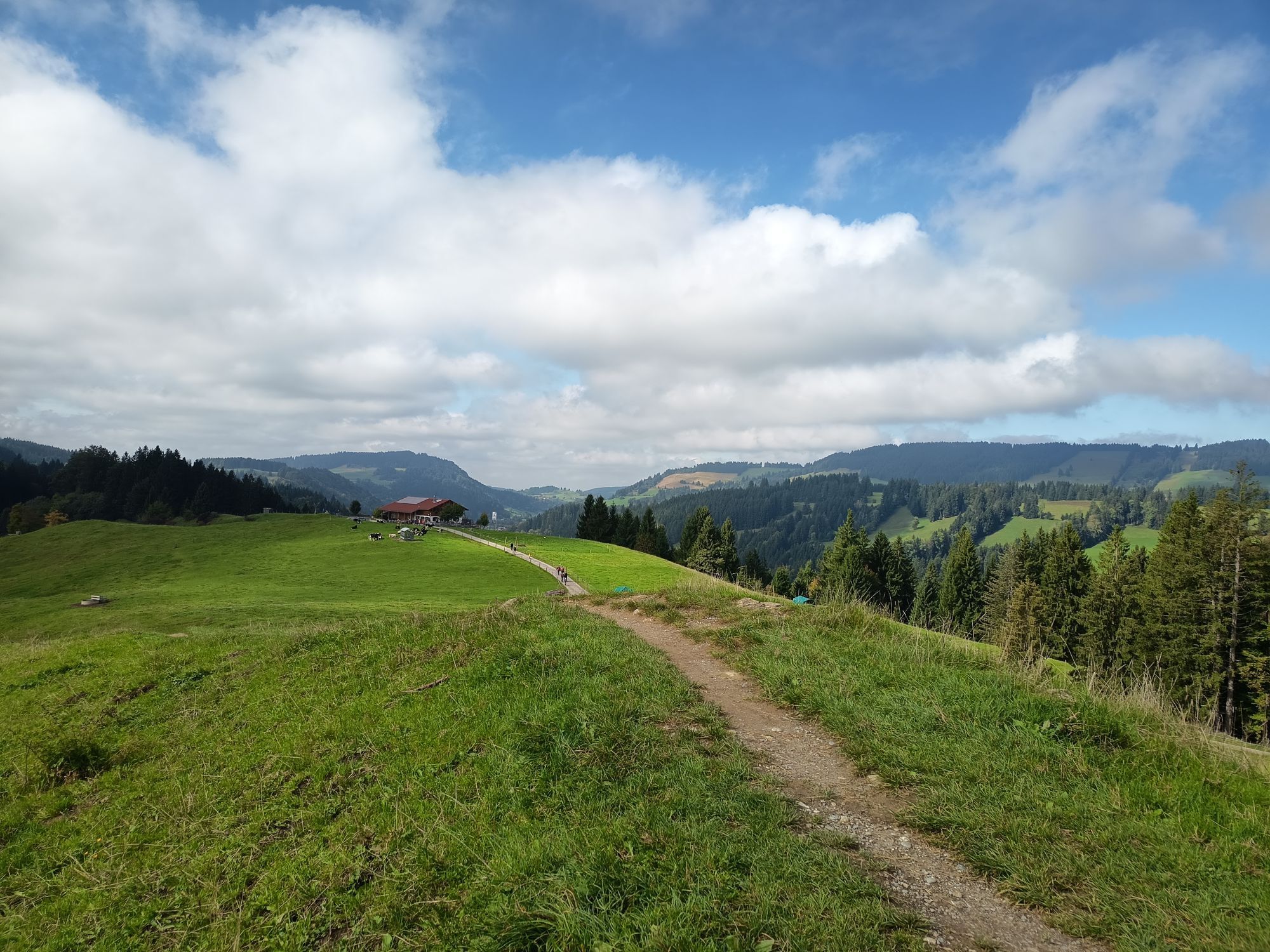
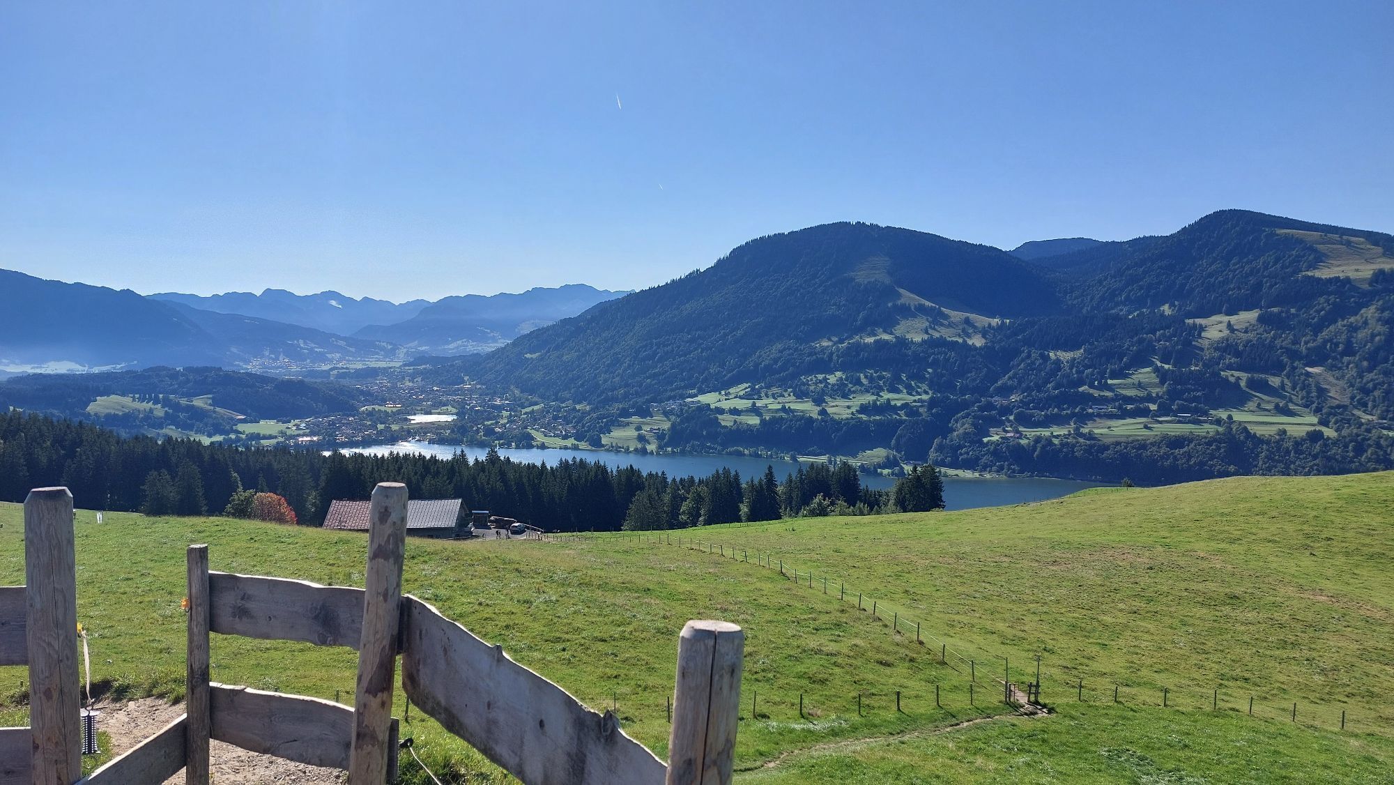
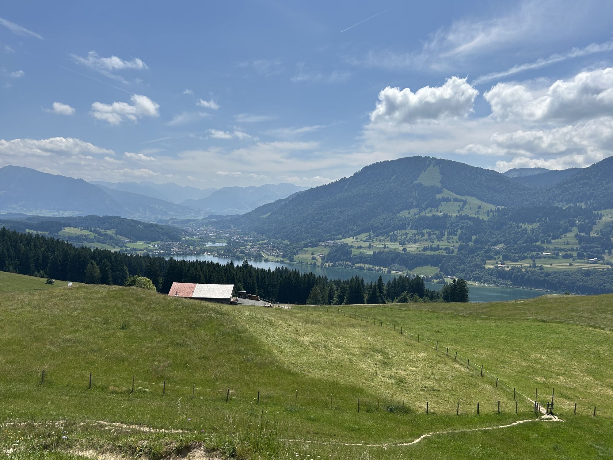
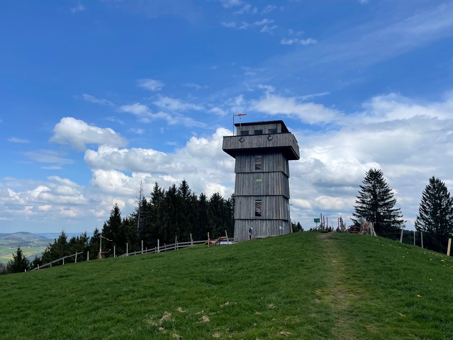
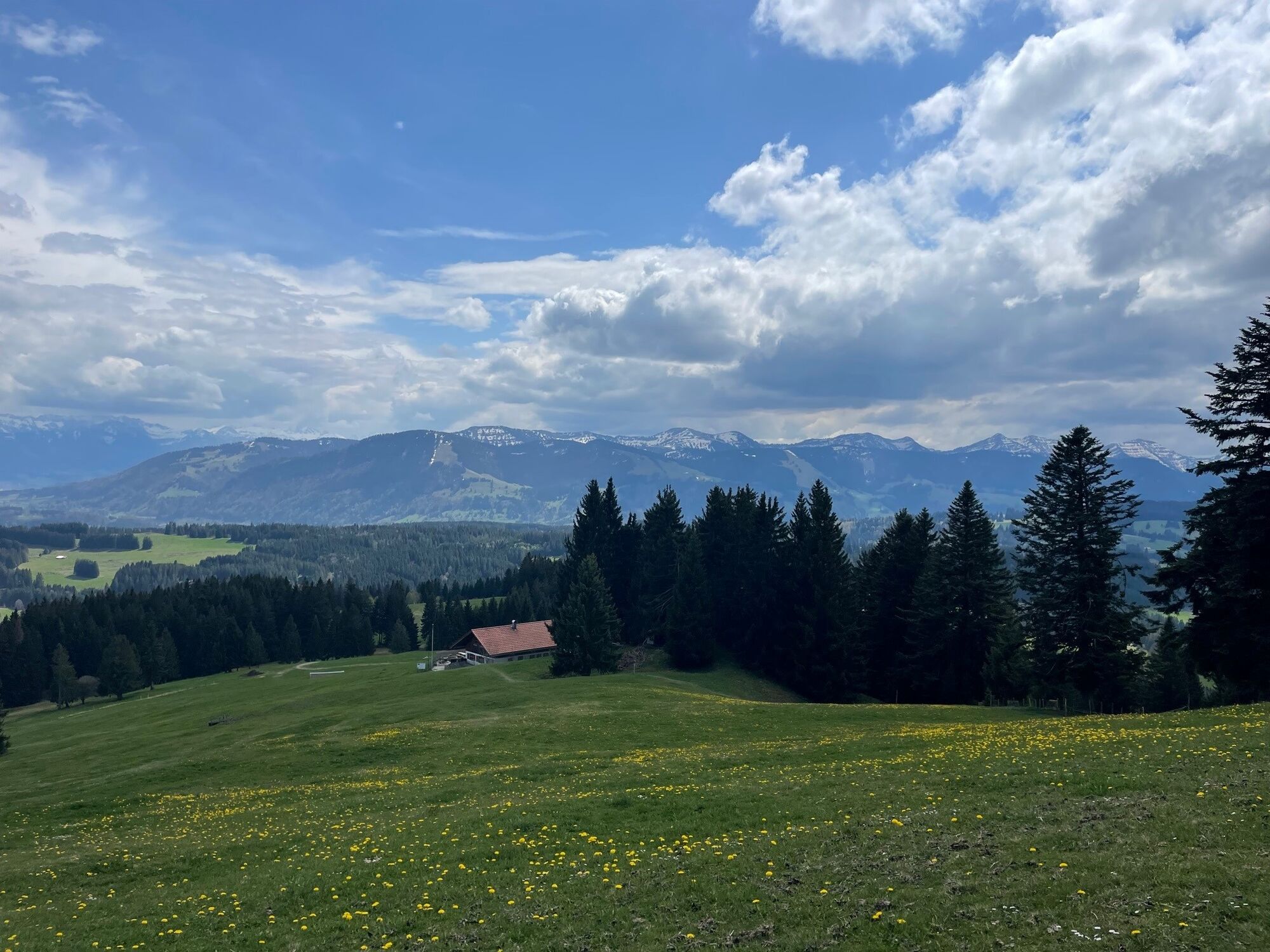
From the station to Buflings and Zell, continue following the road. After a short descent on the street, head uphill to Mutten and Trabers. At the crossroads, continue straight into the Rote Heide and then through a hollow up to Geratsried. There, pay attention to the bike signs leading to Aigis. Down the road and back uphill to Wilhams. It continues idyllically at first before the long but pleasant climb to Hauchenberg follows. The last short climb shortly before reaching the ridge is sharply steep. Once at the top, a magnificent view rewards the effort.
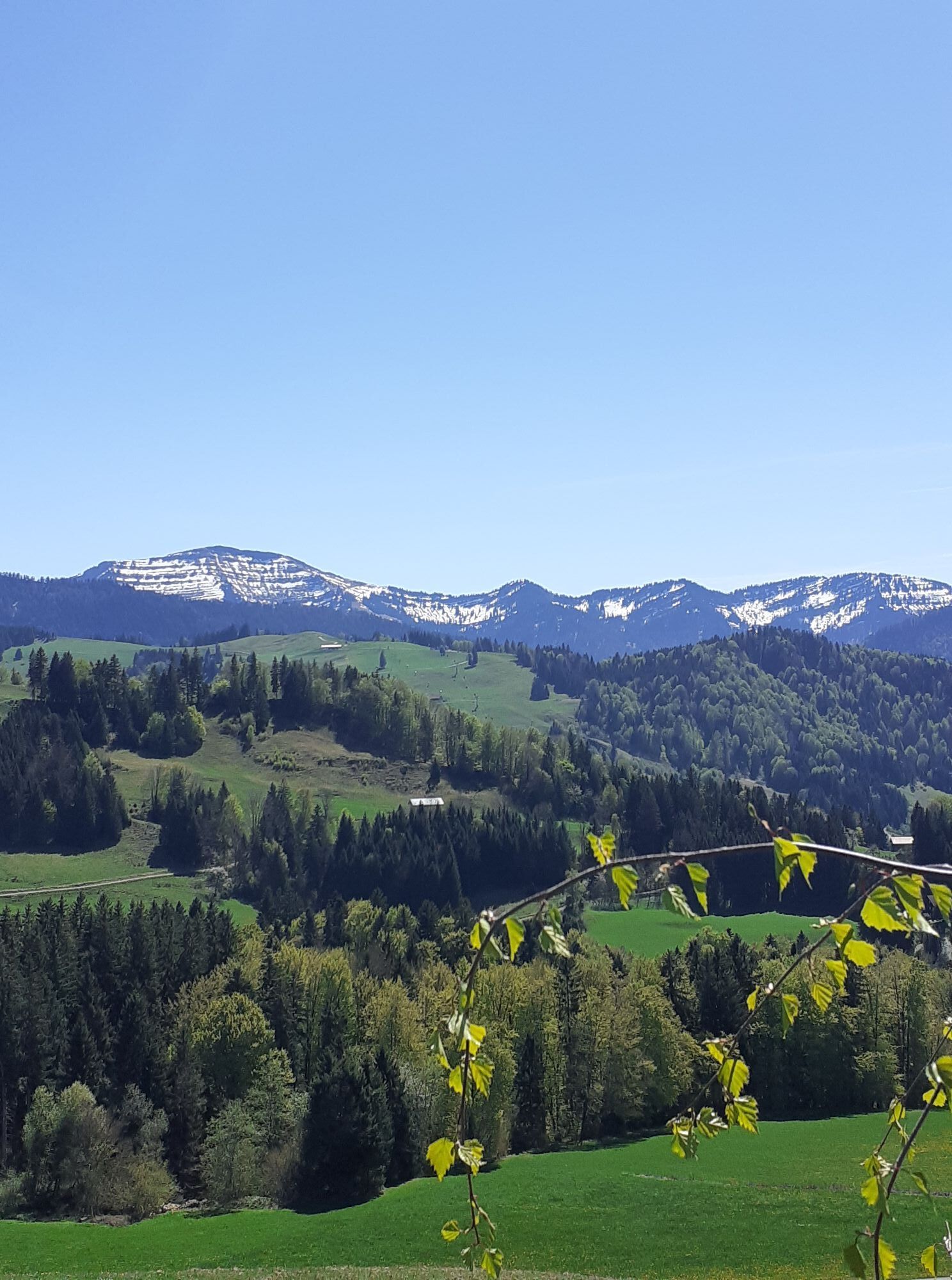
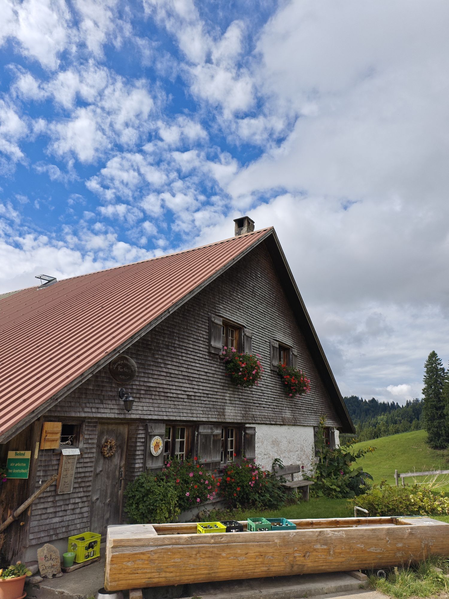
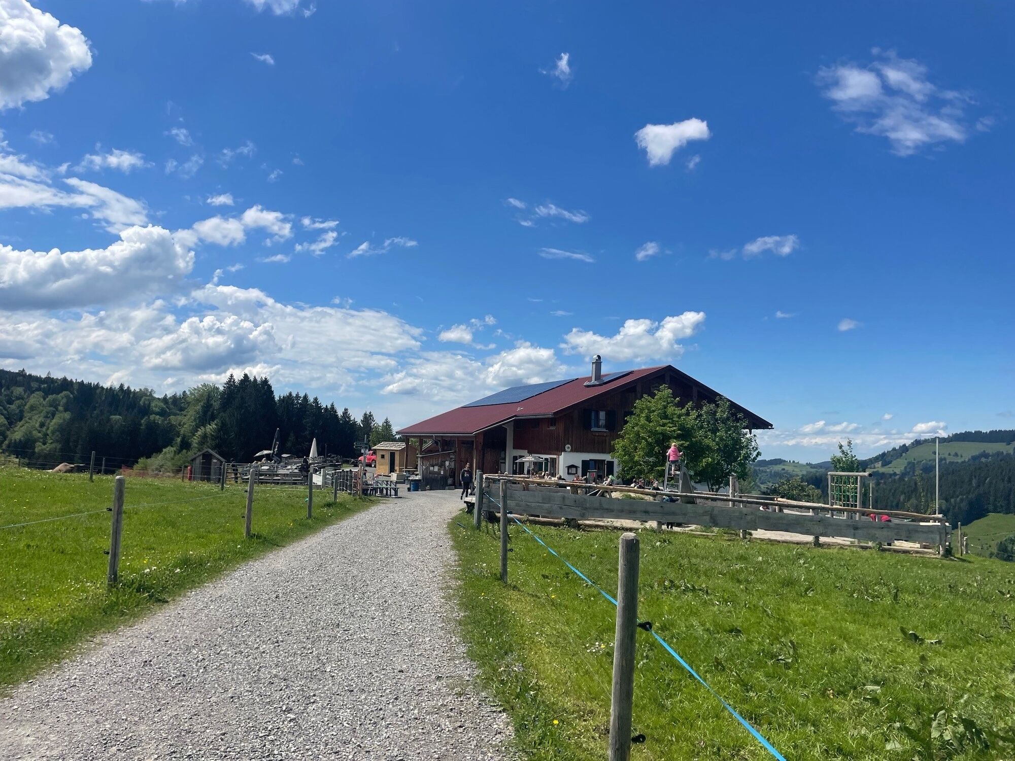
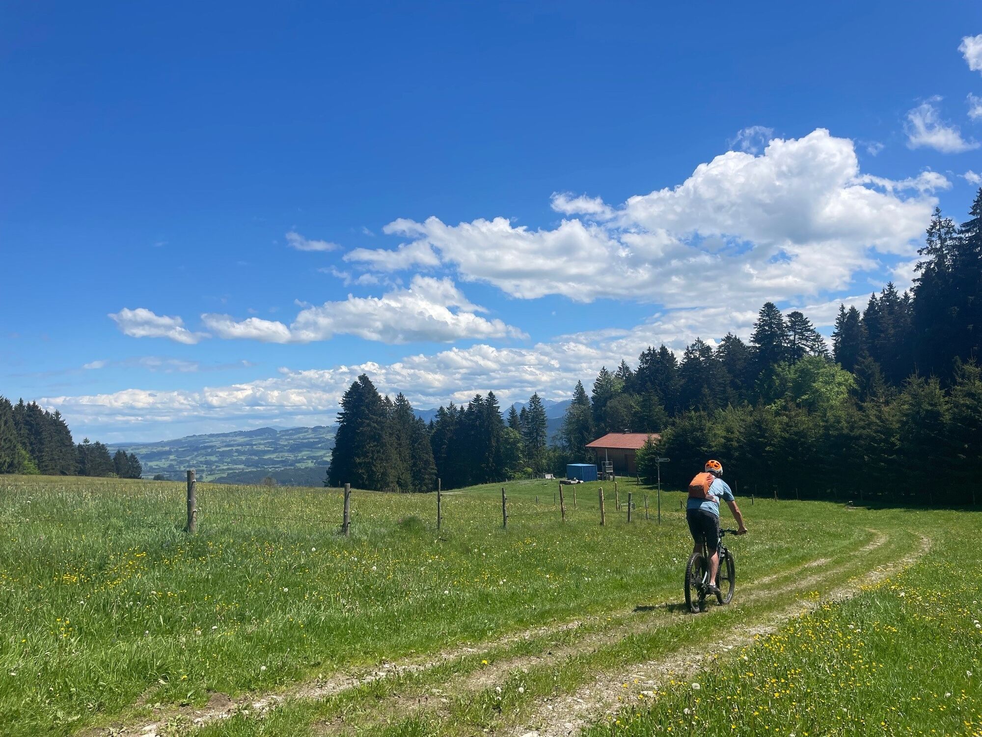
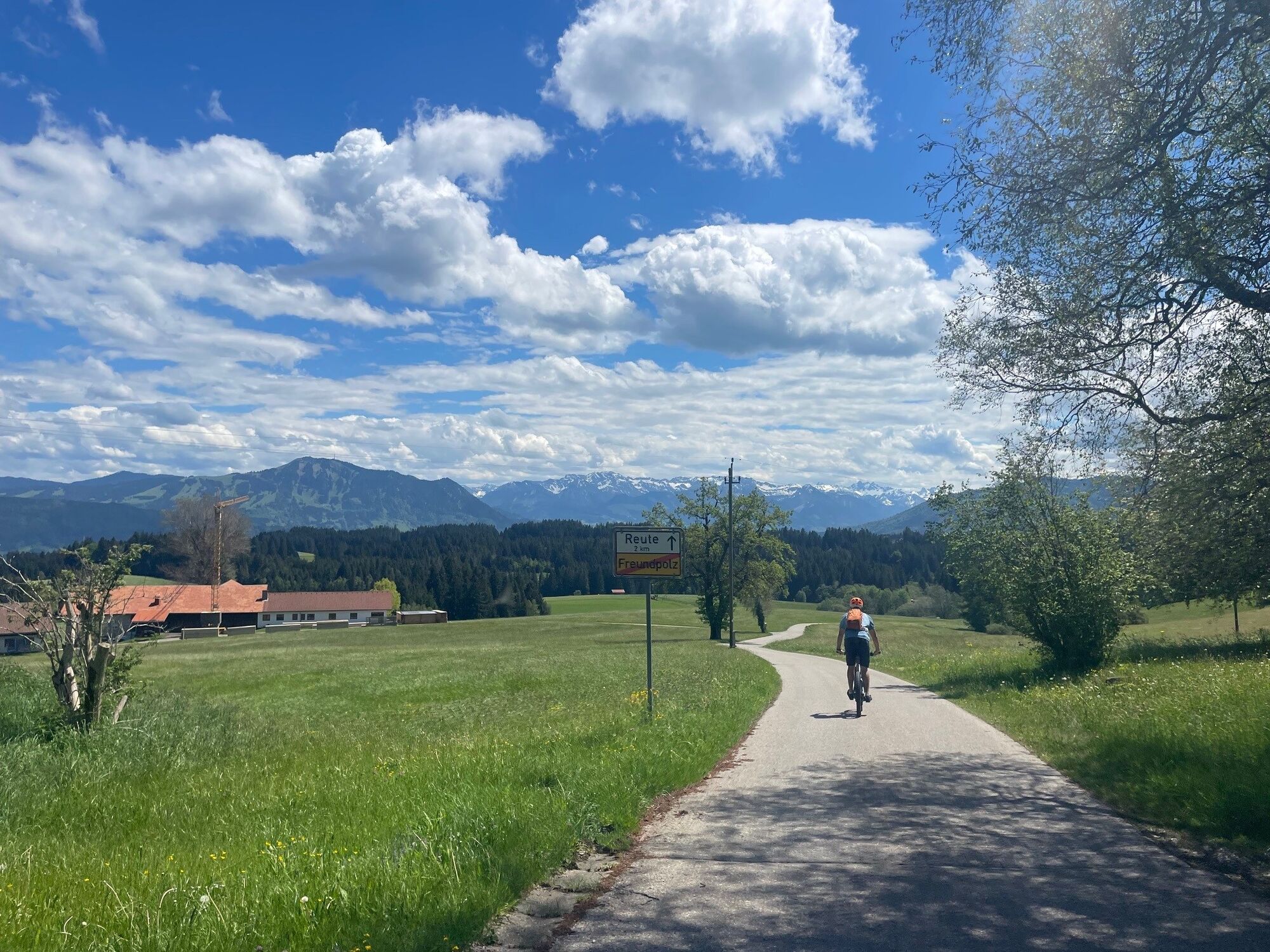
Initially, return by the same way, then turn right and follow the forest road. A short section follows over a narrow natural path, which tends to be wet in the first few meters when damp. Continue over a meadow area before a forest road leads to Freundholz. Rolling panoramically over the hamlets of Reute and Knottenried to the Stixnerjoch at the state road, which is crossed there. Continue on the forest road following the signs to Jugetalpe (opportunity to stop). From there over a short meadow trail to a stream crossing and on another forest road toward Thaler ski lifts – following the bike signs. Then rapidly descend on asphalt to the valley station. In the valley, turn left following the signs leading to the saddle of the Hompessenalp path. From there, roll quickly down to Kalzhofen and back to the starting point.

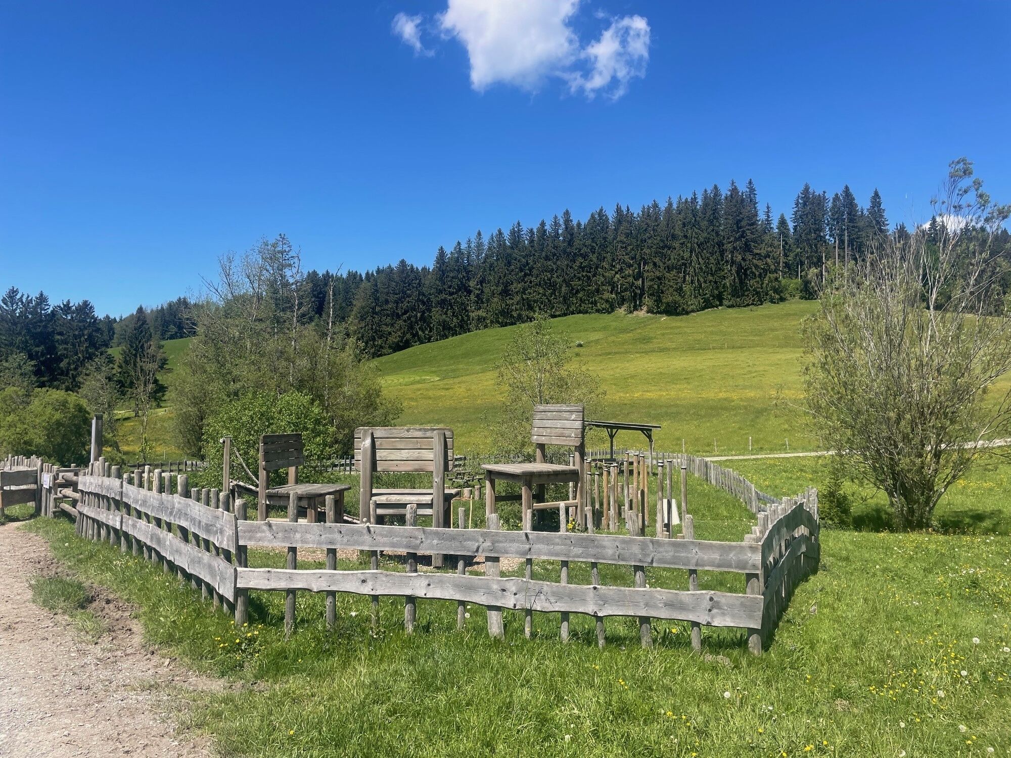
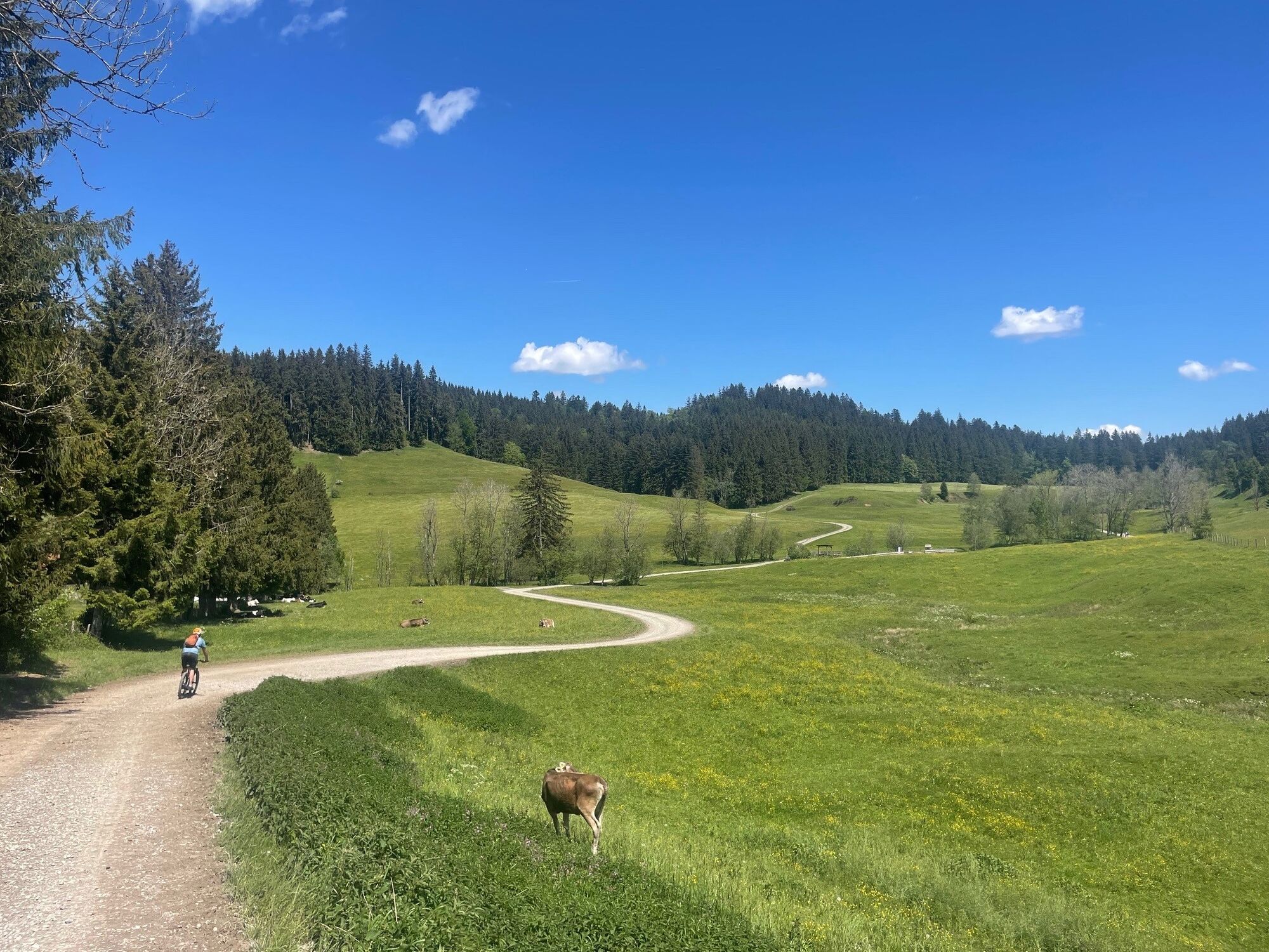
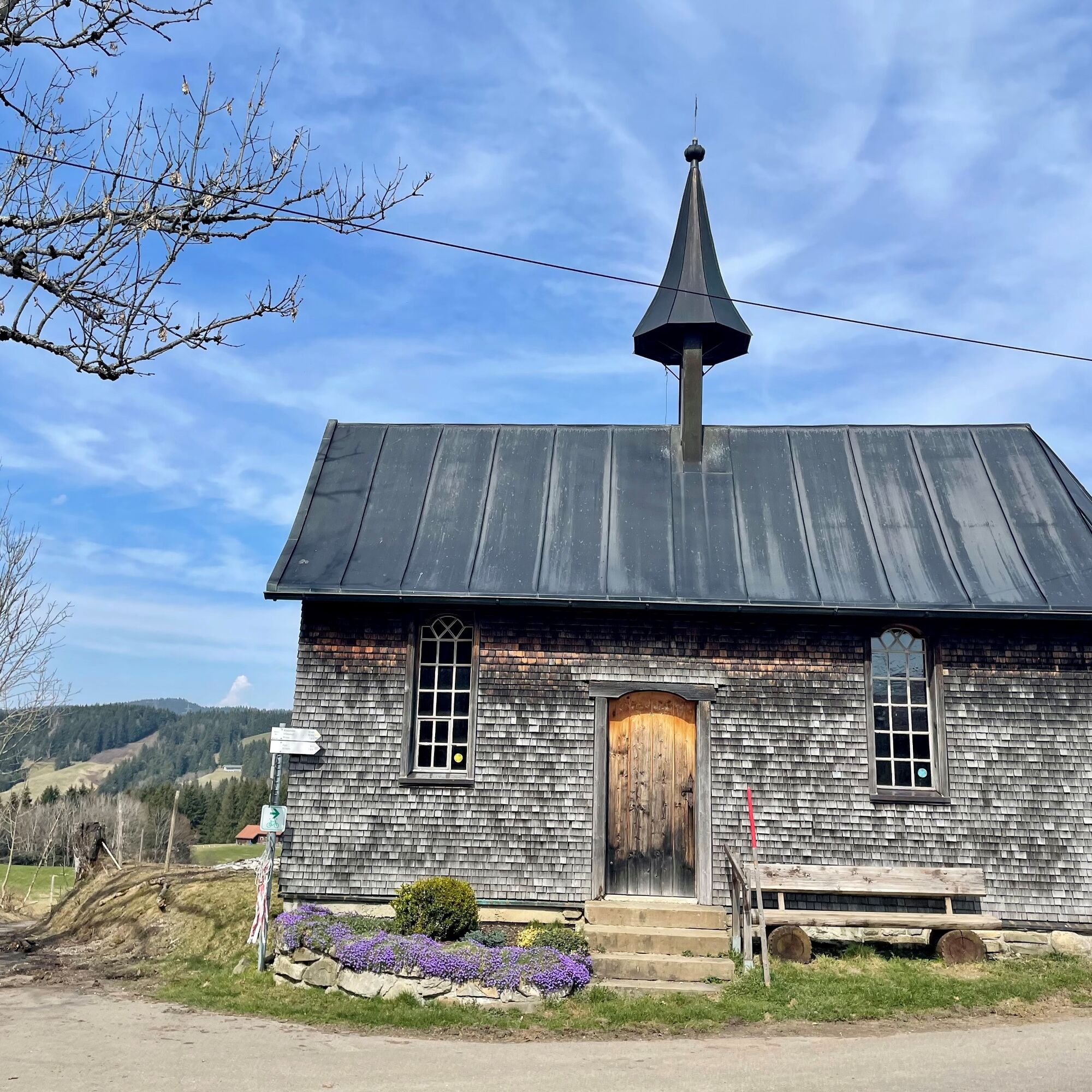

S1
On S1 trails, you have to roll over smaller obstacles like flat roots, small stones, and water gutters. The gradient is a maximum of 40%. Basic riding skills such as controlled braking and shifting body weight are necessary.
Note: The route is not explicitly signposted; GPX data is available for navigation.
Just before and behind the Hauchenberg tower there are pastures that cannot be crossed with the bike. The last steps to the tower are best done without the bike.
Webové kamery z prehliadky
-
Oberstaufen
-
Skilifte Sinswang
-
Oberstaufen - Biohotel Schratt
-
Oberstaufen - Biohotel Schratt
-
Segelclub Alpsee
-
Oberstaufen
-
Hanusel Hof
-
Alpe Hohenschwand
-
Thaler Höhe
-
Oberstaufen - Rosenalp
-
Hündlebahn Bergstation
-
Imberghaus
-
Thaler Höhe
-
Oberwilhams
-
Webcam vom Skilift Weitnau im Oberallgäu
-
Oberwilhams
-
Missen-Börlas
-
Ortsansicht Missen
-
Alpsee Bergwelt
-
Alpsee Bergwelt
-
Alpsee Bergwelt - Bärenfalle

Obľúbené výlety v okolí
-
3,9
Klassikertour: Auf den Grünten
ťažkéTuristika 8,50 km -
4,4
Wanderung auf den grünten
strednáTuristika 8,31 km -
4,4
Starzlachklamm
strednáTuristika 5,30 km -
5,0
Nagelfluh ridge route Hochgrat - Mittag
ťažkéTuristika 14,0 km -
4,9
Immenstädter Horn
svetloTuristika 9,35 km -
4,1
Circular route Hündle to the Buchenegger Waterfalls
strednáTuristika 9,69 km -
4,7
Grosser-Alpsee-Rundweg-11-km
svetloTuristika 10,9 km -
4,5
Immenstädter Horn - Gschwender Horn
svetloTuristika 10 km -
3,7
Rundtour Mittag
svetloTuristika 15,7 km -
5,0
Siedelalpe Runde von See - Immenstadt
svetloTuristika 10,3 km
Turistika a stopovanie


Nenechajte si ujsť ponuky a inšpiráciu na ďalšiu dovolenku
Vaša e-mailová adresa bol pridaný do poštového zoznamu.





