



Setzberg round

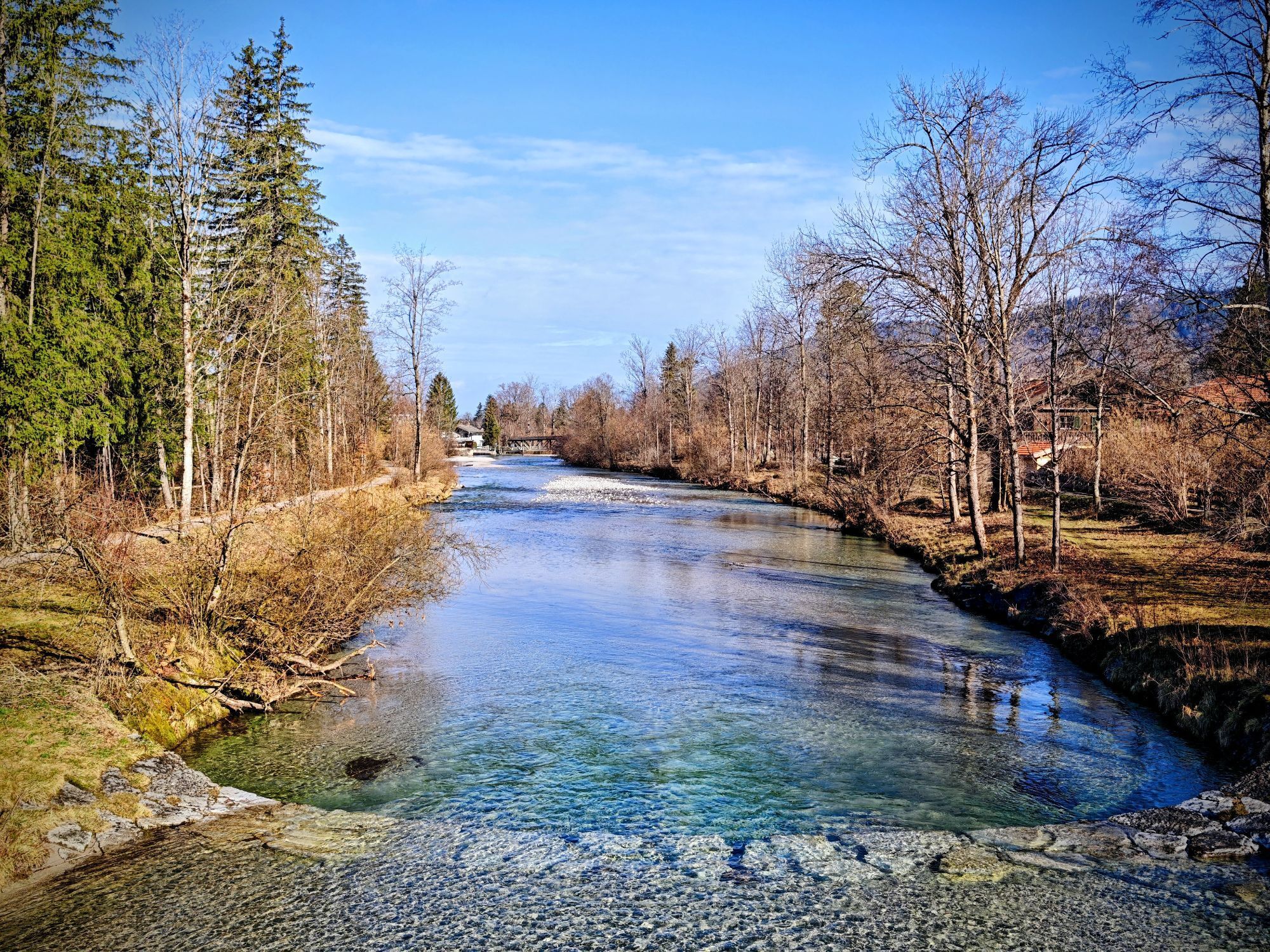
This route starts where sledders zoom down in winter: a challenging 500 vertical meters must be mastered before the route winds around Setzberg at nearly the same altitude with ever-new views.



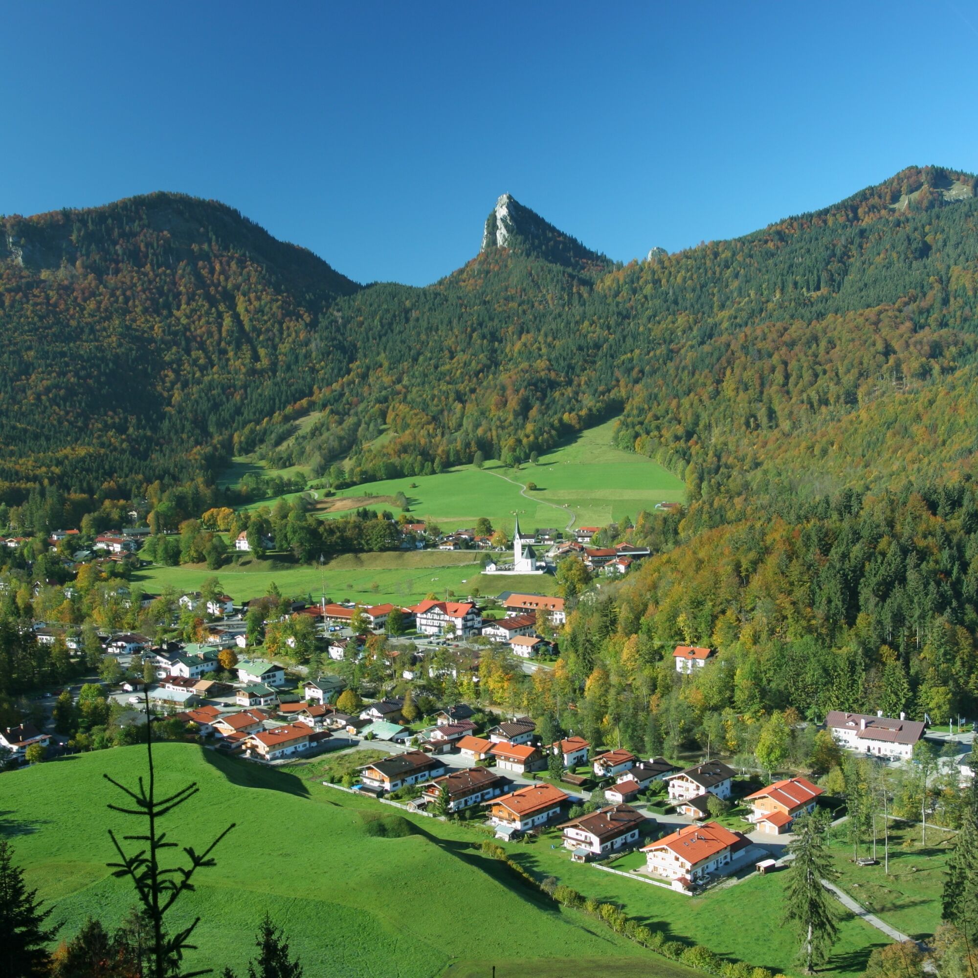

We start our route in Kreuth at the Kurpark and follow forest path no. 617 towards Setzberg.
At the beginning of our route planning, we climb just under 500 vert. meters, before enjoying beautiful views of Kreuth above the Rosssteinwand. The next viewpoint is located next to the Wallbergmoos Alm, a place to stop with a beer garden. Now the route descends along Wallbergstraße to the parking lot at the Wallbergbahn valley station. Please drive slowly and be sure to watch out for oncoming vehicles! After the barrier, we continue on the paved road to the bridge over the Weißach, where we turn left onto Weißachaustraße. After the district Trinis, the route leads us along the Weißach through the Weissachau nature reserve back to the starting point in Kreuth (path 504). Please stay on the bike path and note that the water adventure path right along the Weißach is closed to cyclists.
A fully functional mountain bike, rain jacket, water bottle, first aid kit
Please be sure to watch out for oncoming vehicles during the descent on Wallbergstraße to the valley station of the Wallbergbahn. Caution: be careful at the barrier!
All information without guarantee. Walking and riding the routes described here is at your own risk; also observe possible short-term trail closures.
Please always respect nature and other people. Mutual consideration between mountain bikers and hikers is essential to avoid unnecessary accidents and to ensure a wonderful nature experience for everyone.
A8 to Holzkirchen exit, then via B318 and B307 to Kreuth.
Arrival by bike and Bavarian regional train is possible up to Tegernsee station.
Fee-paying parking lot in Kreuth at Kurpark.
Stop for a break at Wallbergmoos Alm before the descent.
Webové kamery z prehliadky

Obľúbené výlety v okolí
-
4,8
Königsalm
strednáTuristika 10,0 km -
4,7
Alpbach valley and Neureuth
strednáTuristika 12,9 km -
4,6
Summit route to the Wallberg
strednáTuristika 12,2 km -
4,6
Roß- and Buchstein, Tegernsee Hut
ťažkéTuristika 14,4 km -
4,8
Leonhardstein
strednáTuristika 8,17 km -
4,3
Tegernsee Höhenweg - North
svetloTuristika 12,3 km -
4,3
Achenkirch - Zöhreralm - Adlerhorst - Achenkirch
svetloTuristika 7,70 km -
4,8
Lengrieser Hütte
strednáTuristika 10,6 km -
4,7
Hirschberg
strednáHorská turistika 12 km -
4,6
Rotwand über Schliersee, Deutschland
strednáTuristika 15,4 km
Turistika a stopovanie


Nenechajte si ujsť ponuky a inšpiráciu na ďalšiu dovolenku
Vaša e-mailová adresa bol pridaný do poštového zoznamu.


