



King stage around the Nagelfluh chain

Úroveň náročnosti: S1
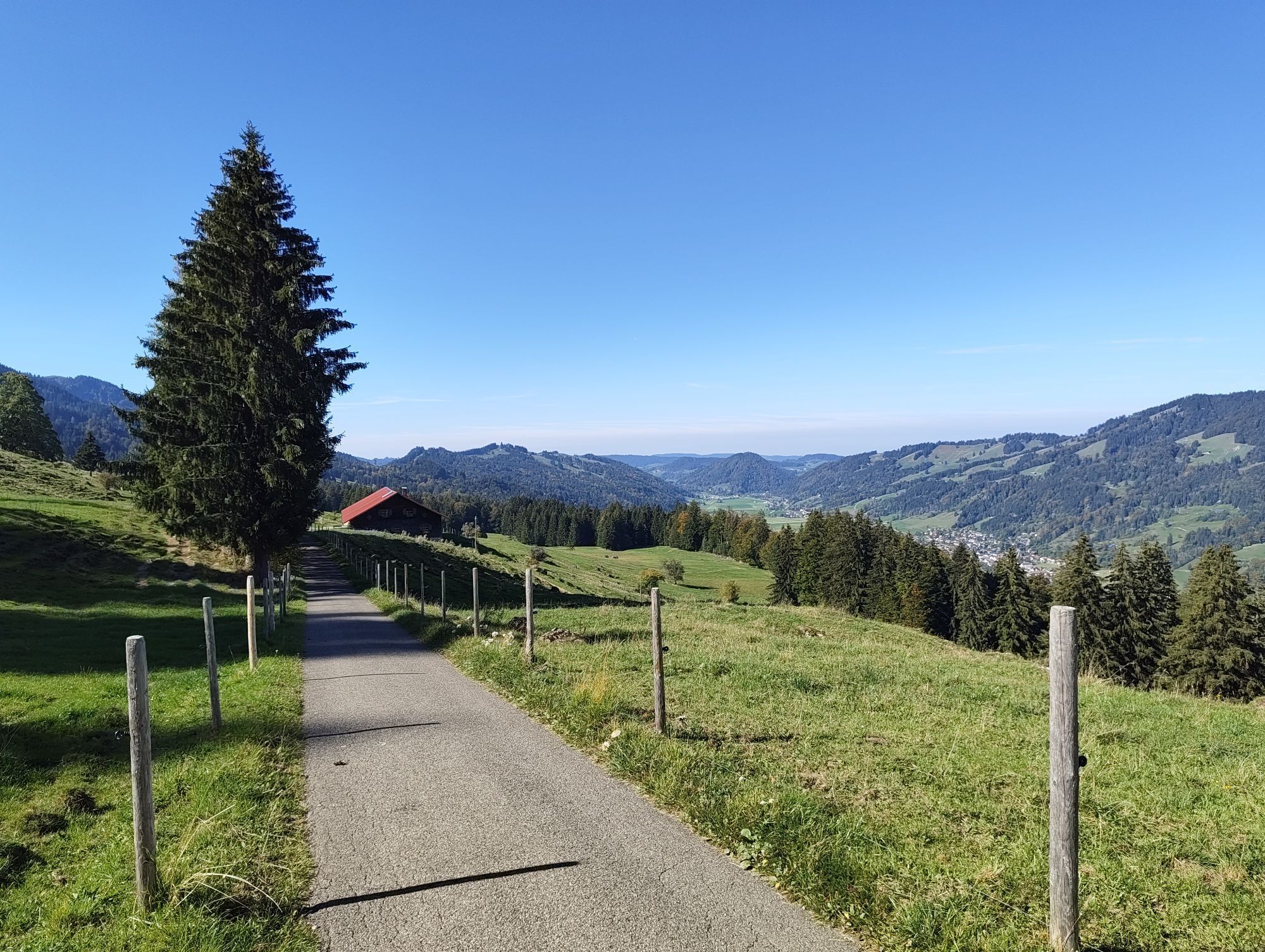
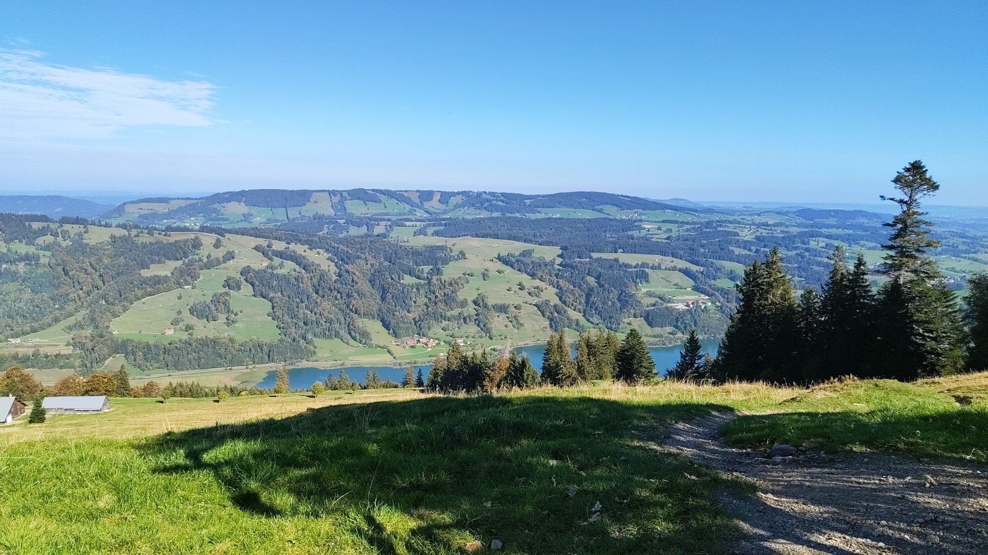
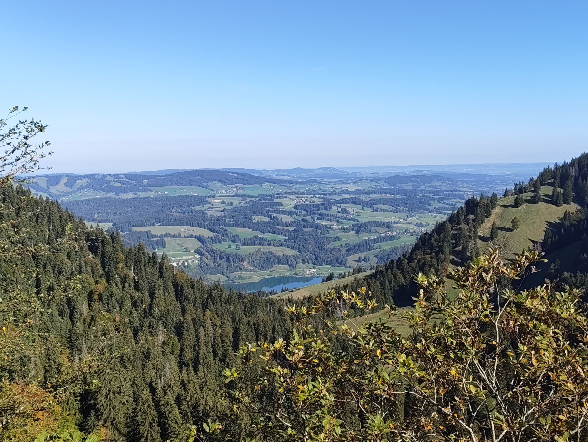
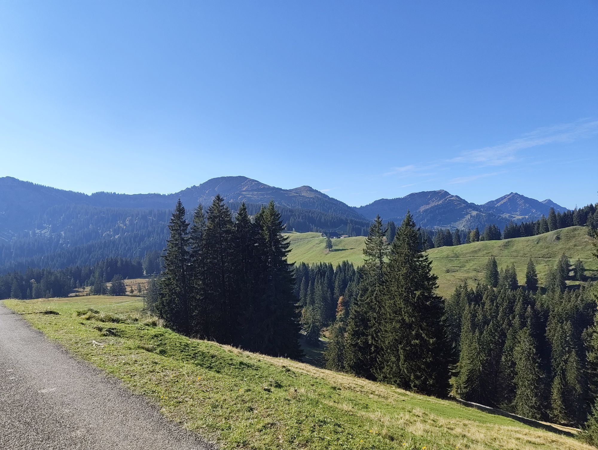
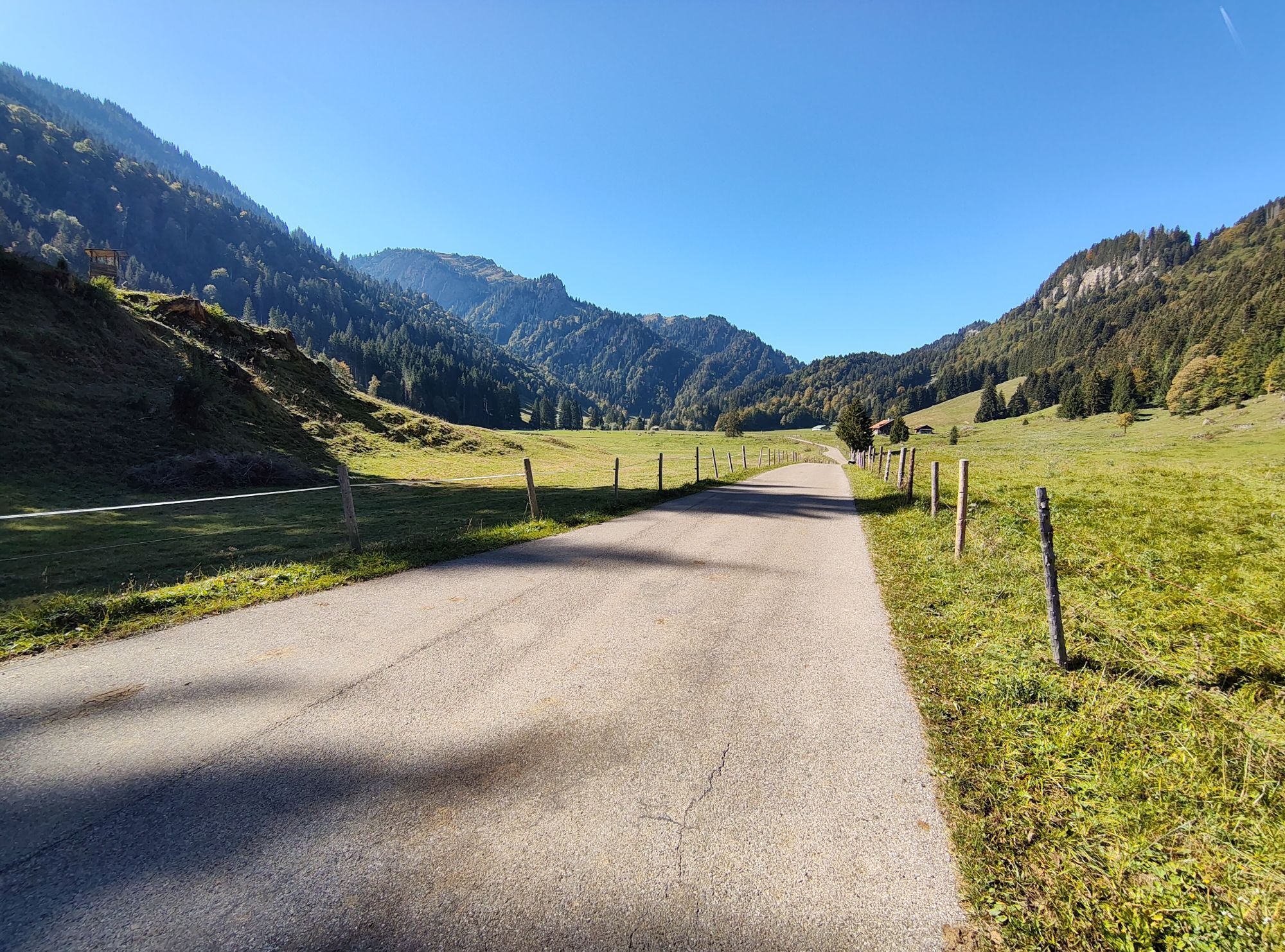
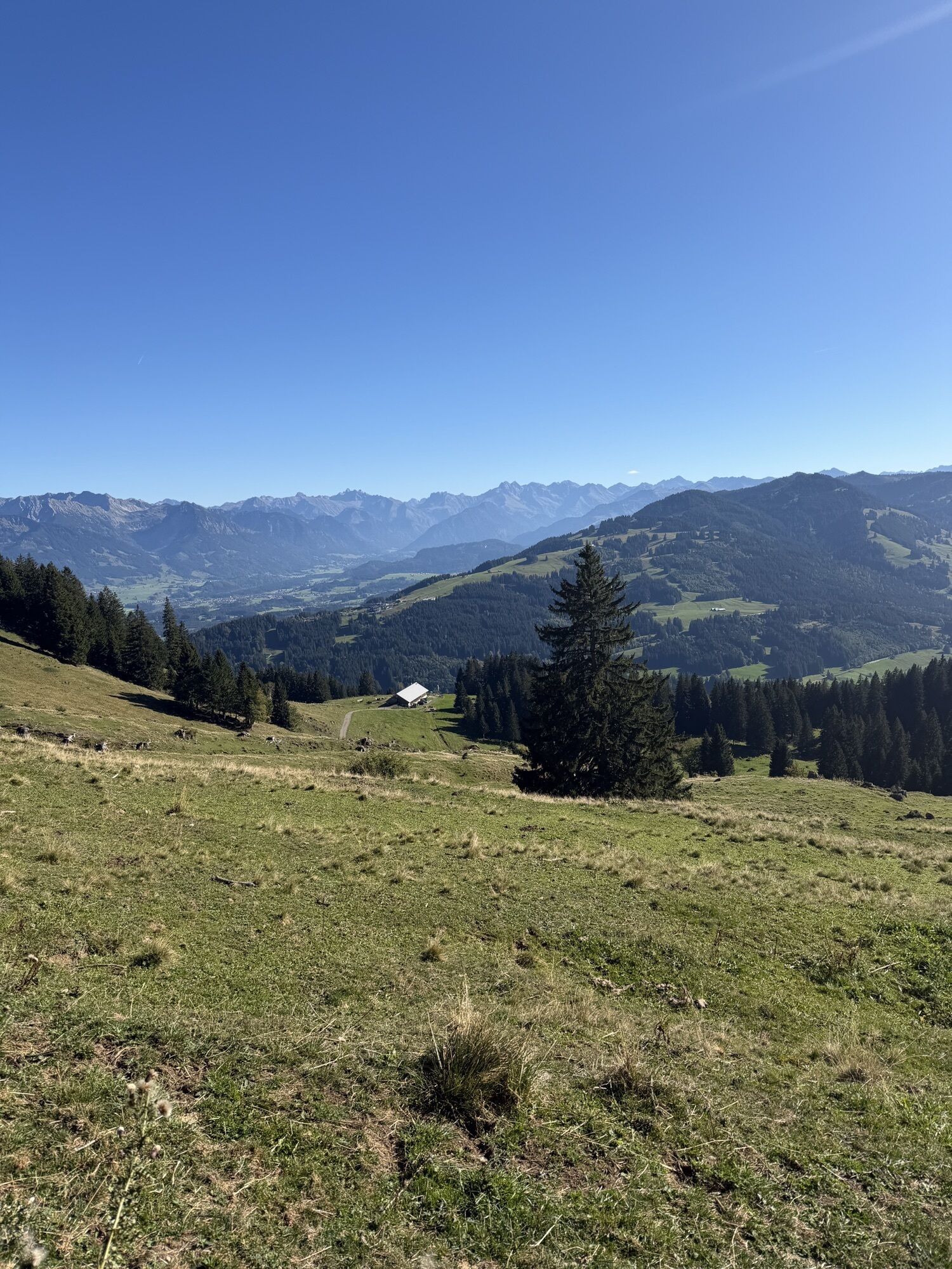
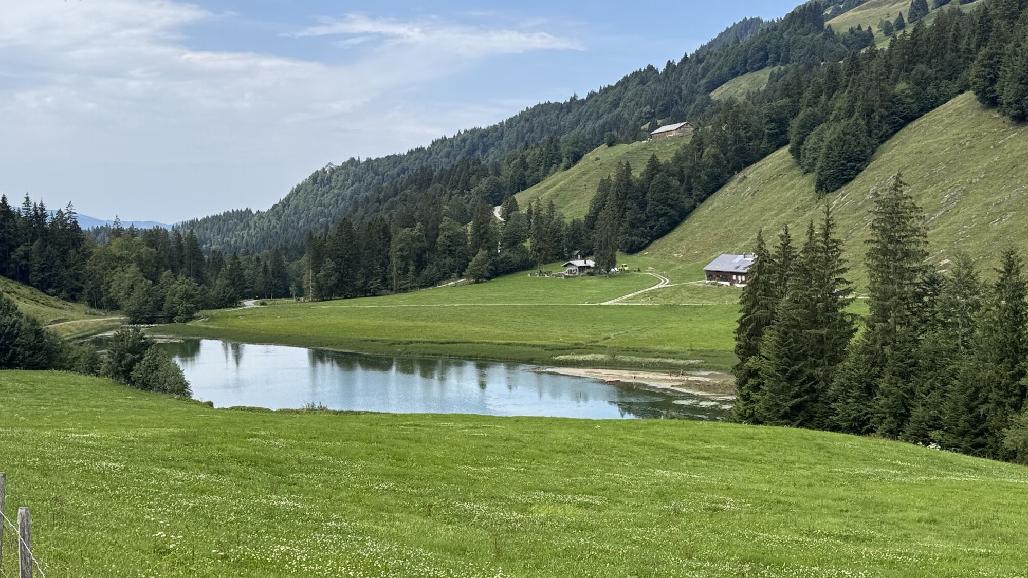
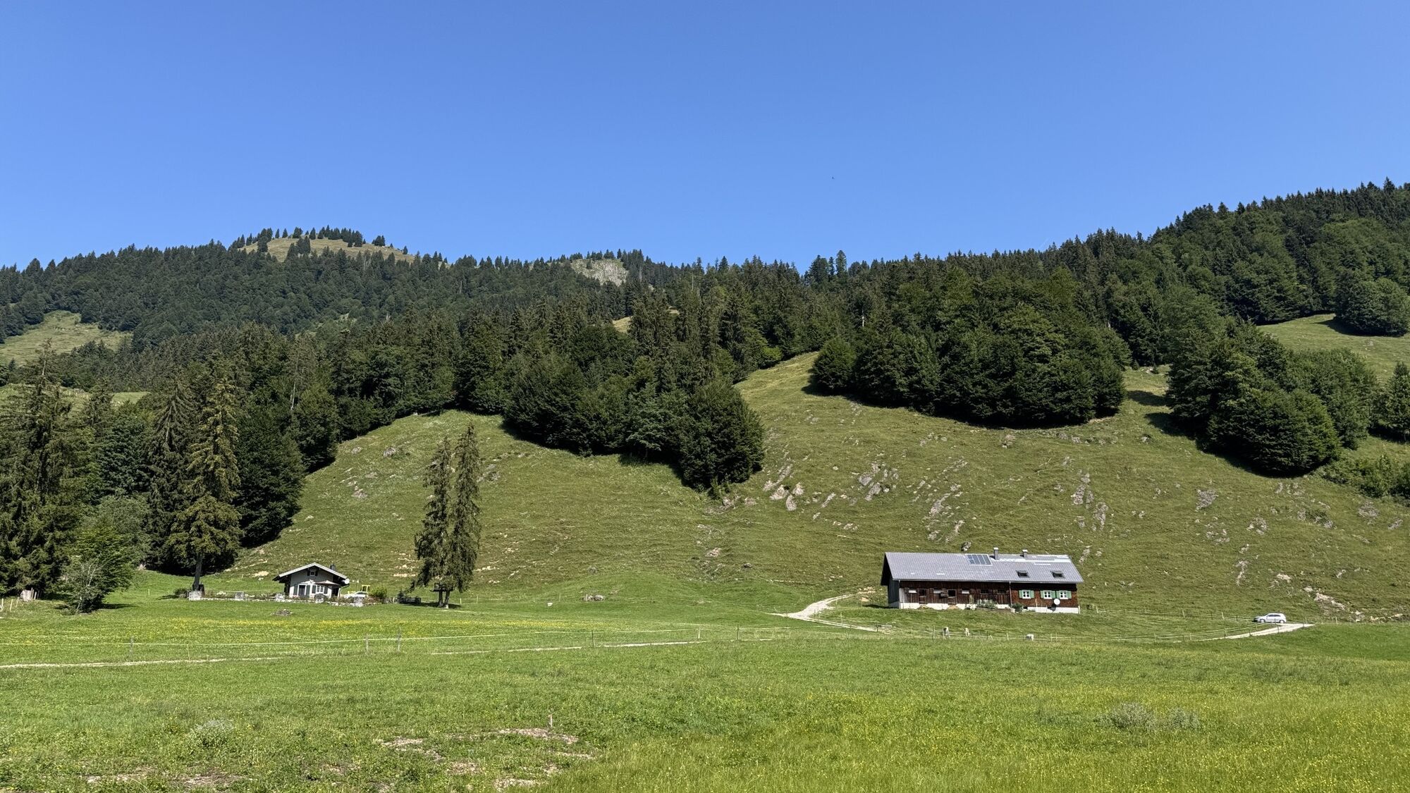
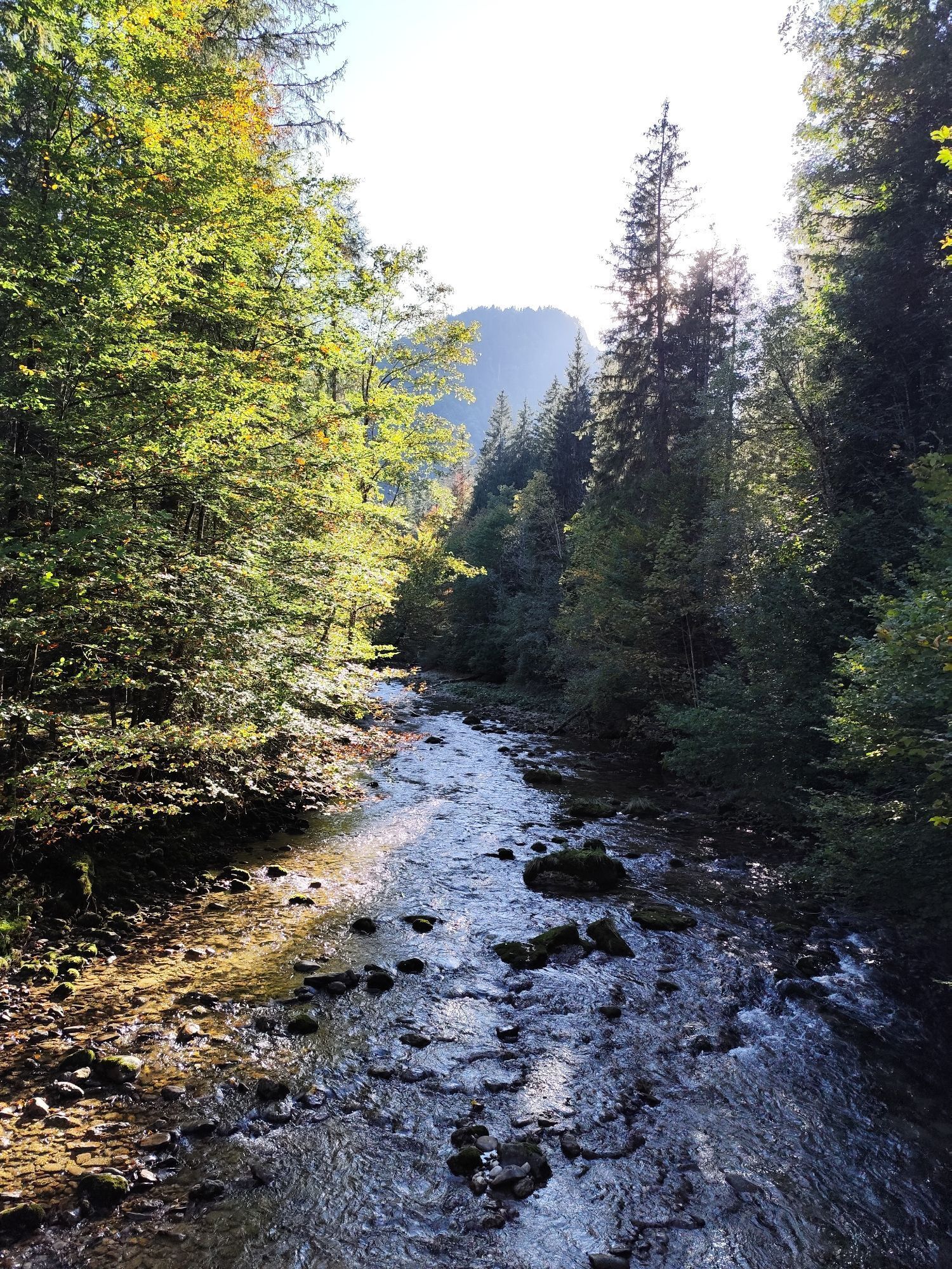
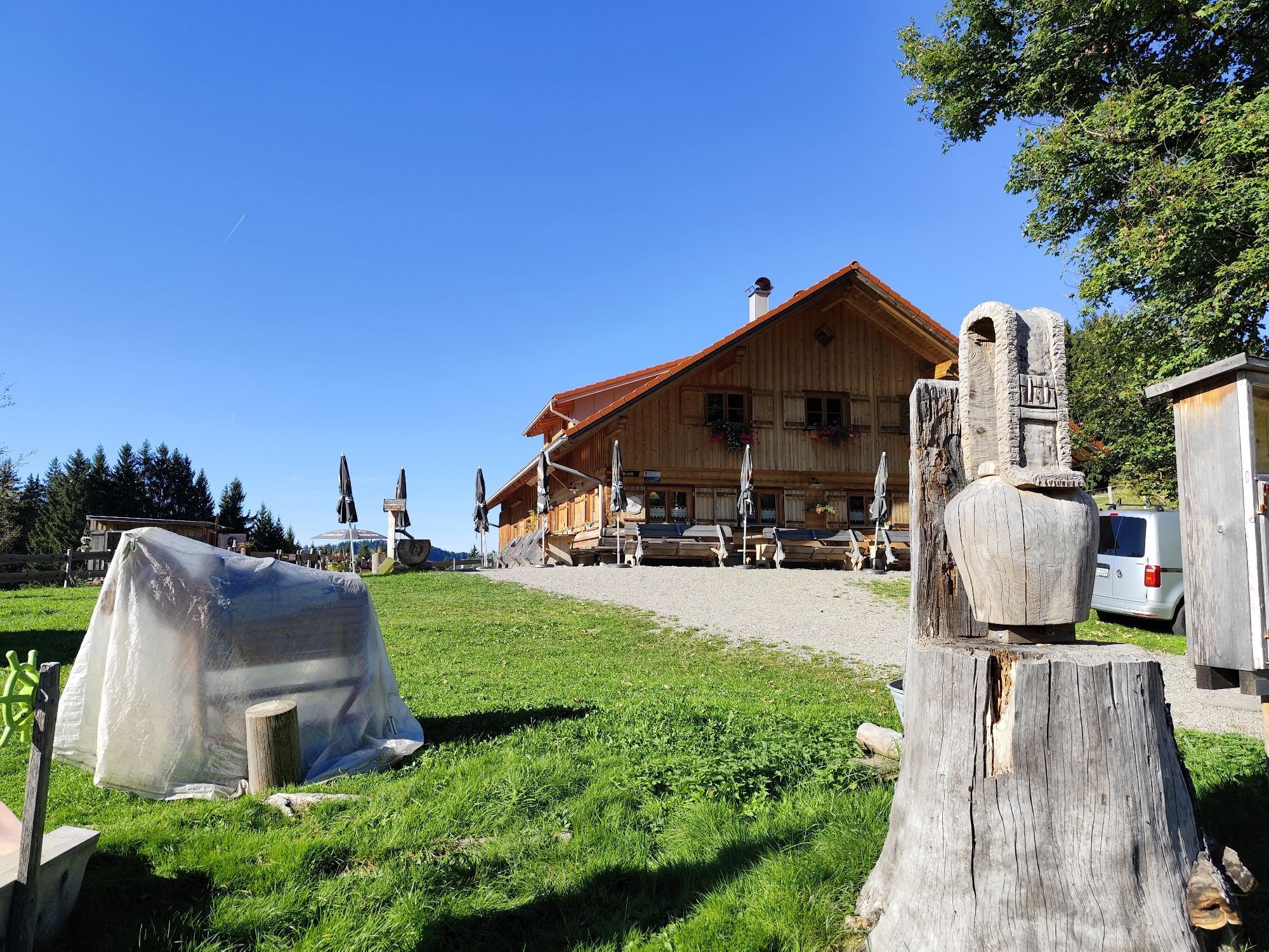
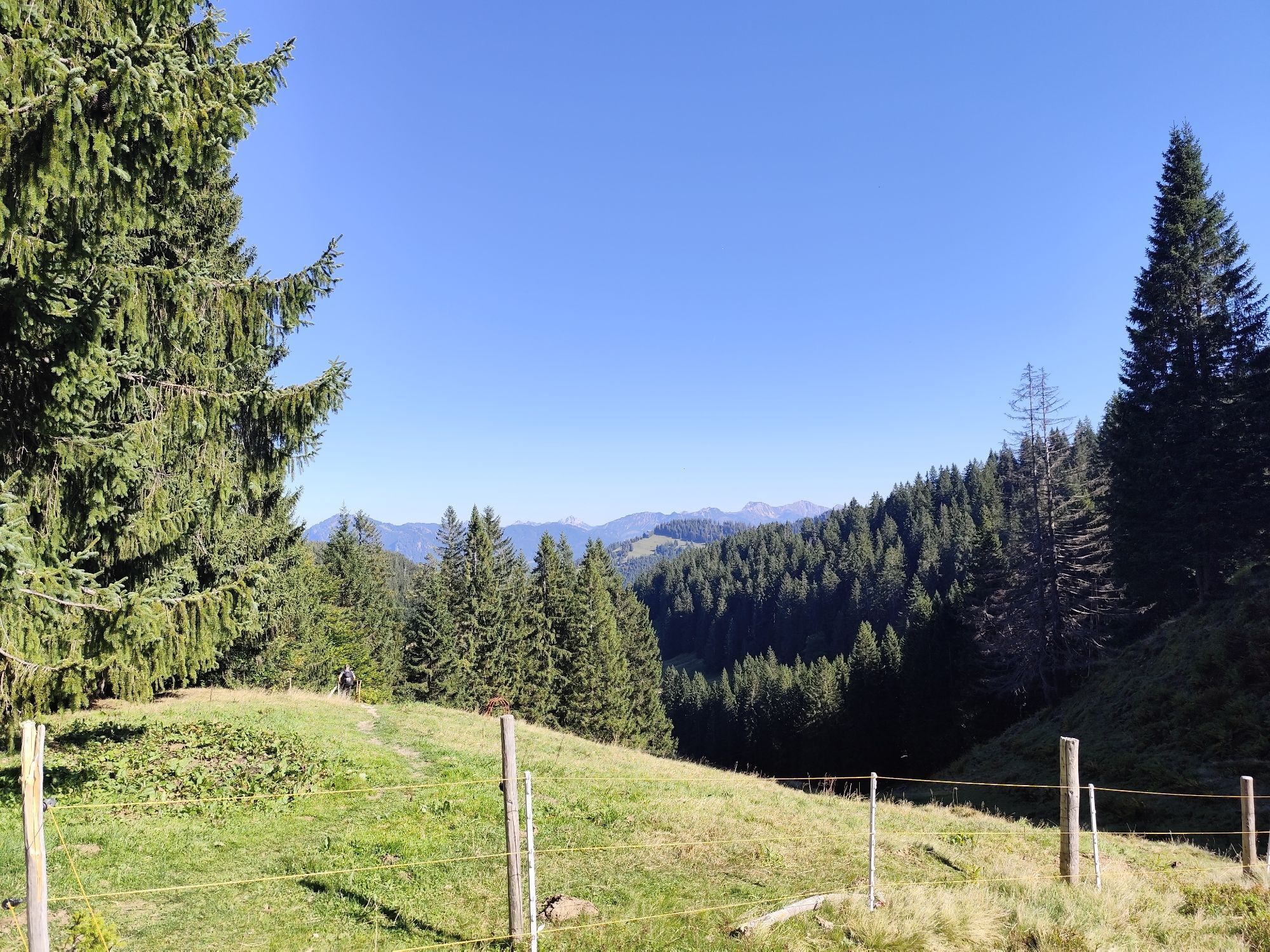


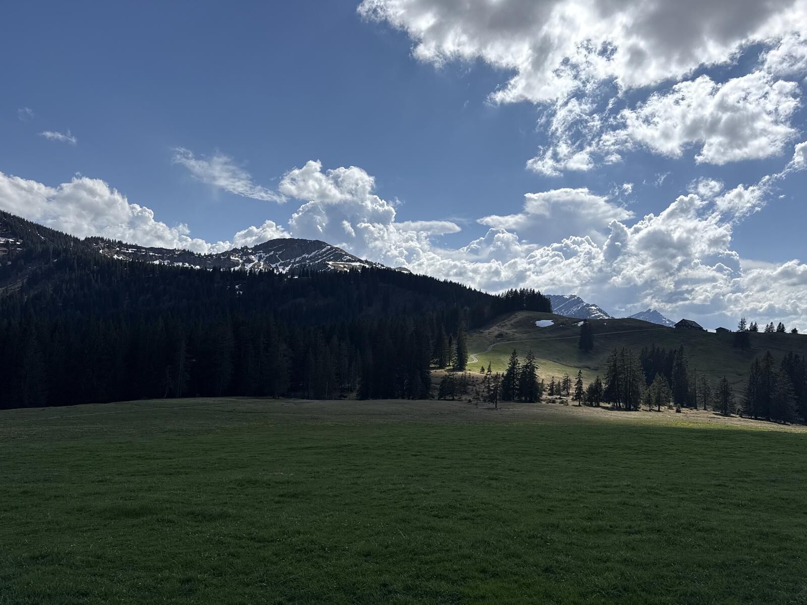
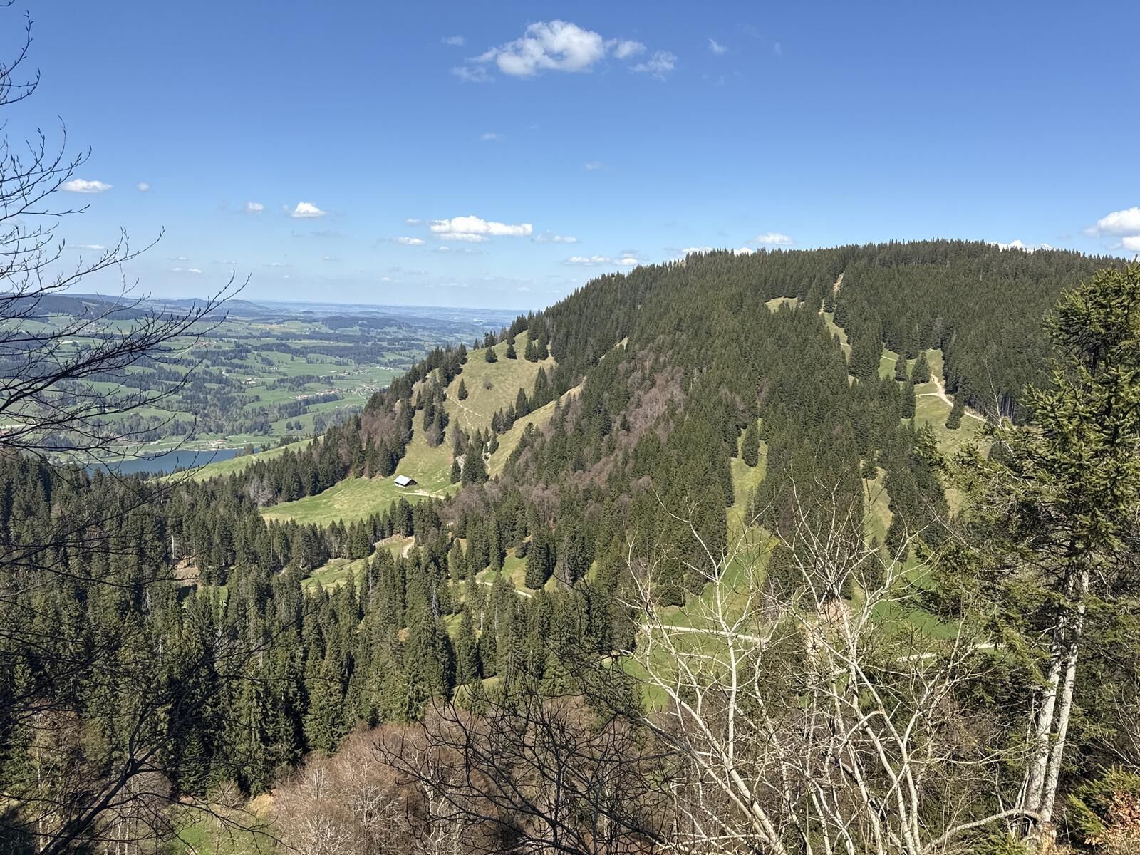

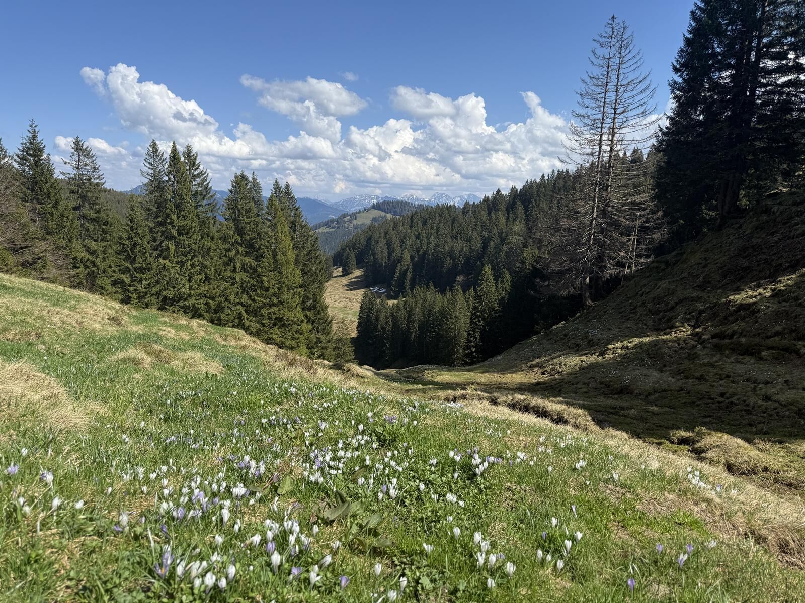
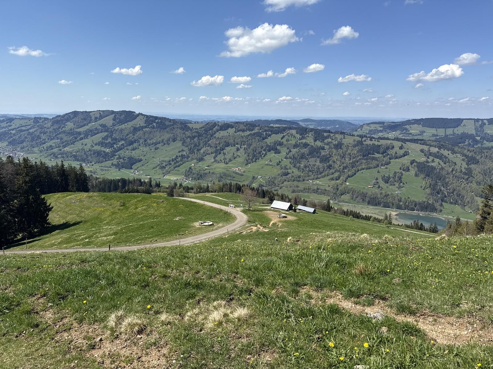
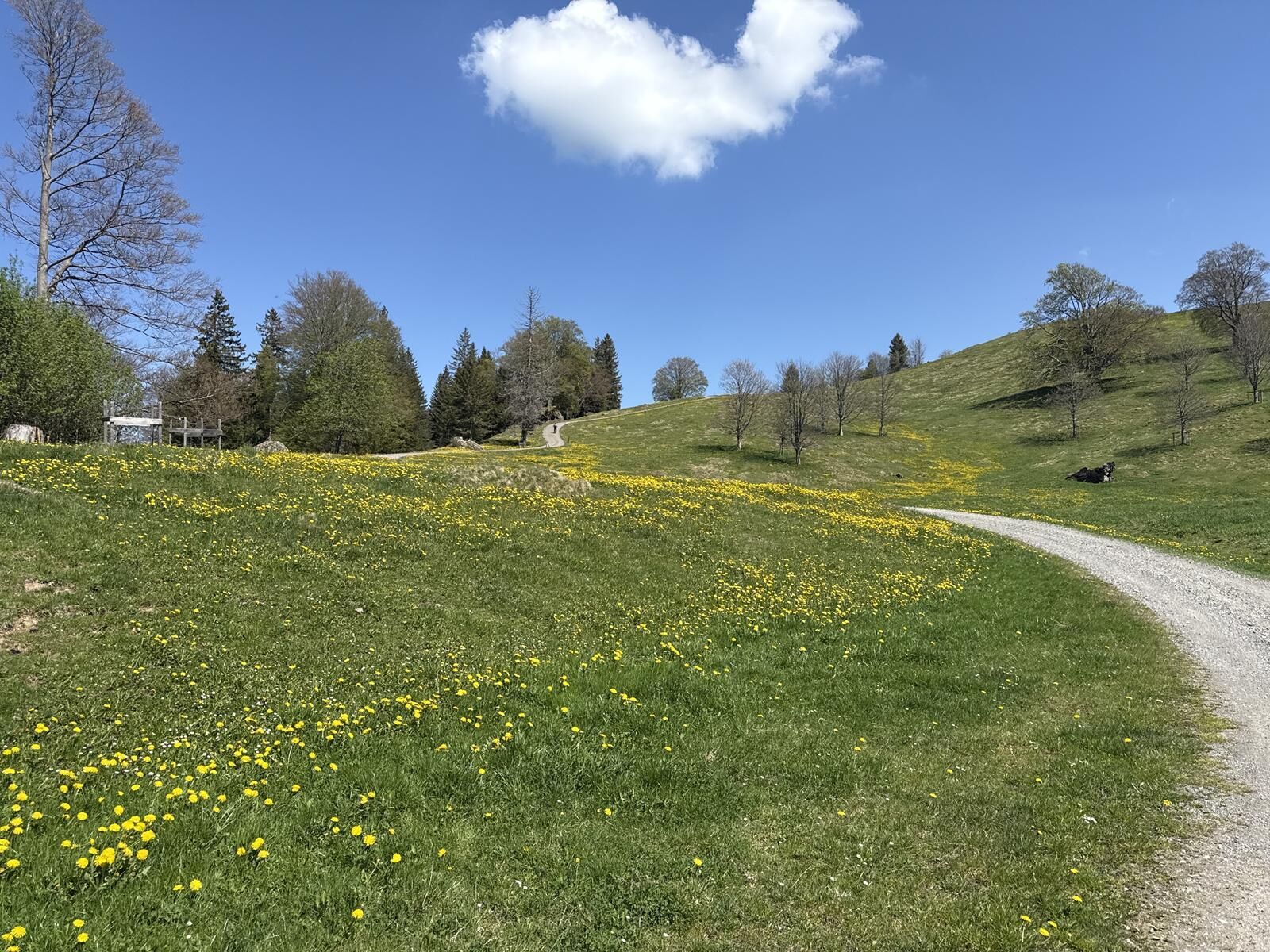


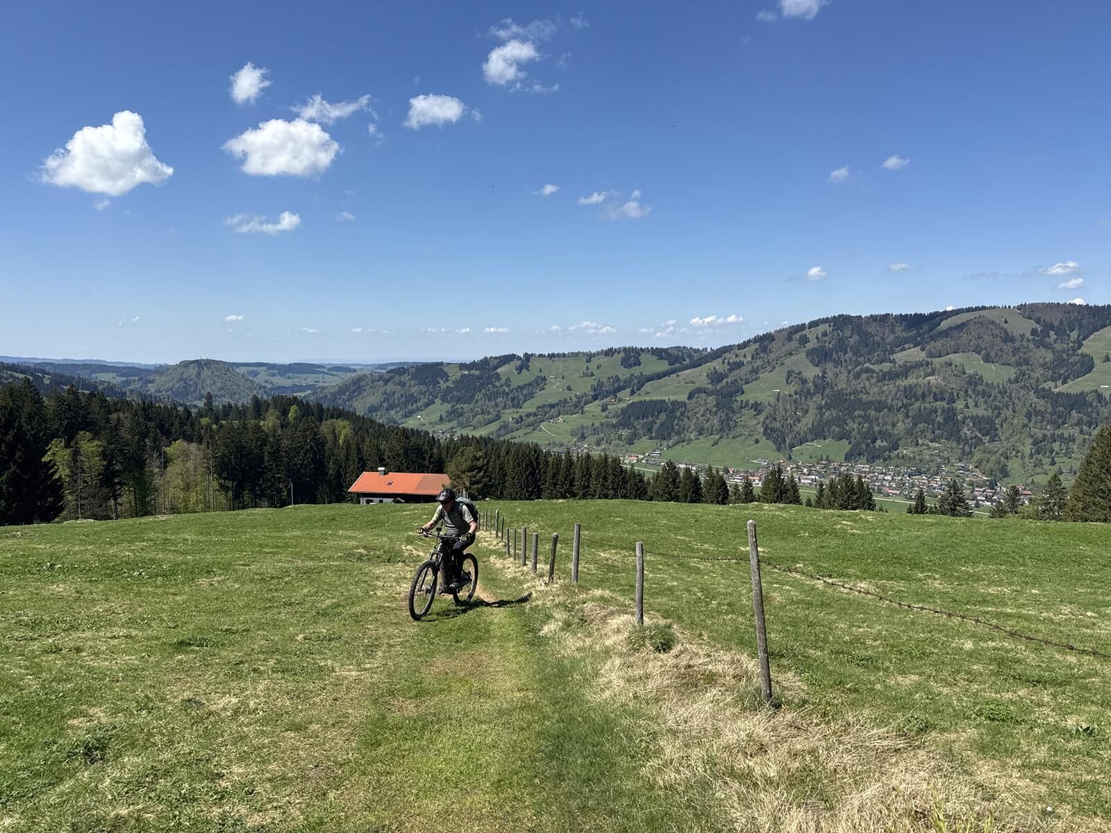
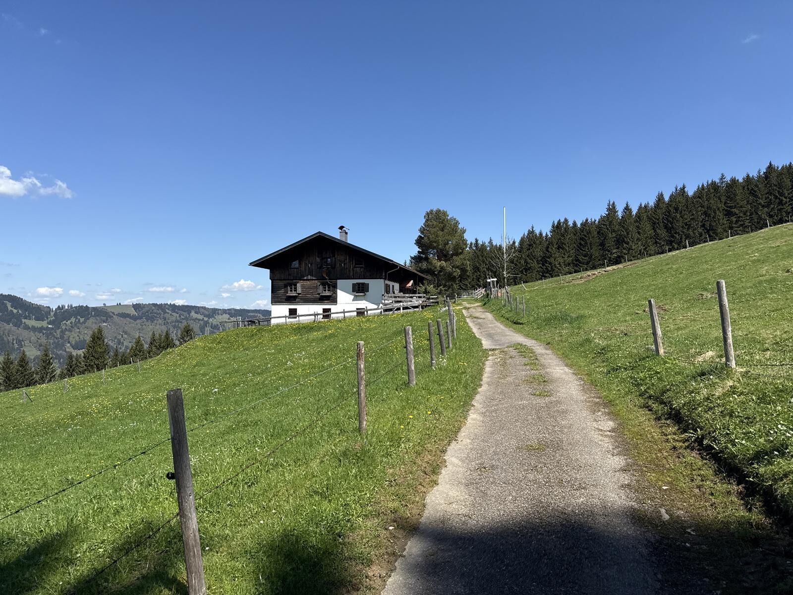
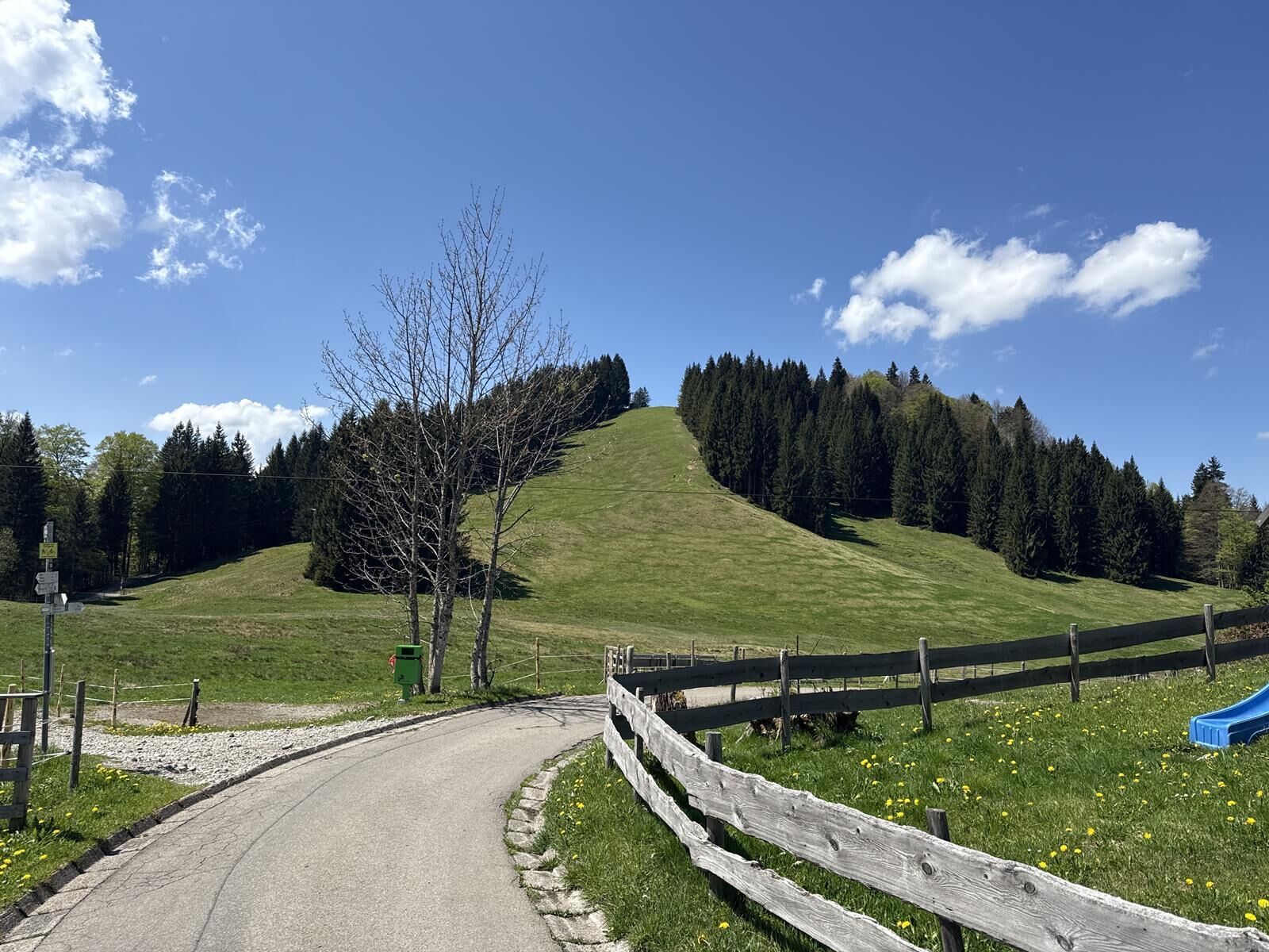
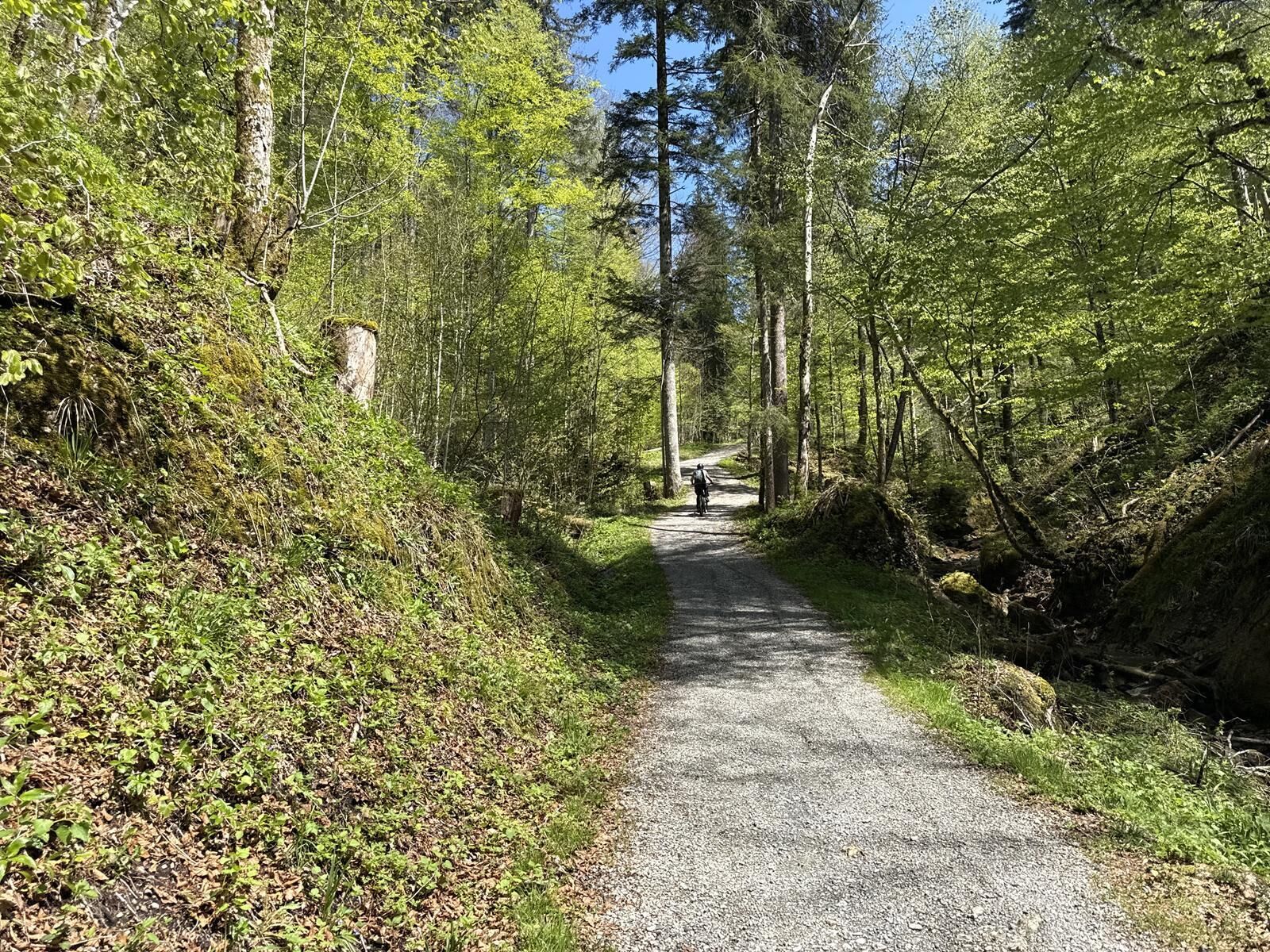
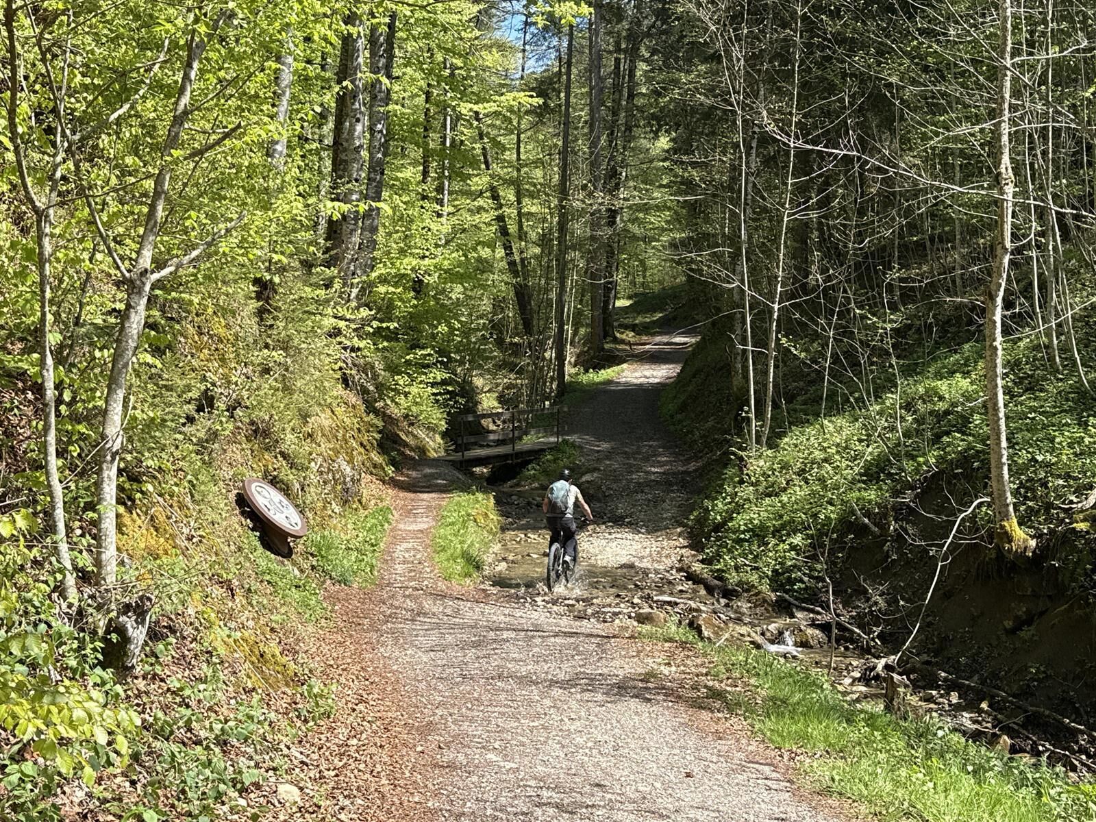
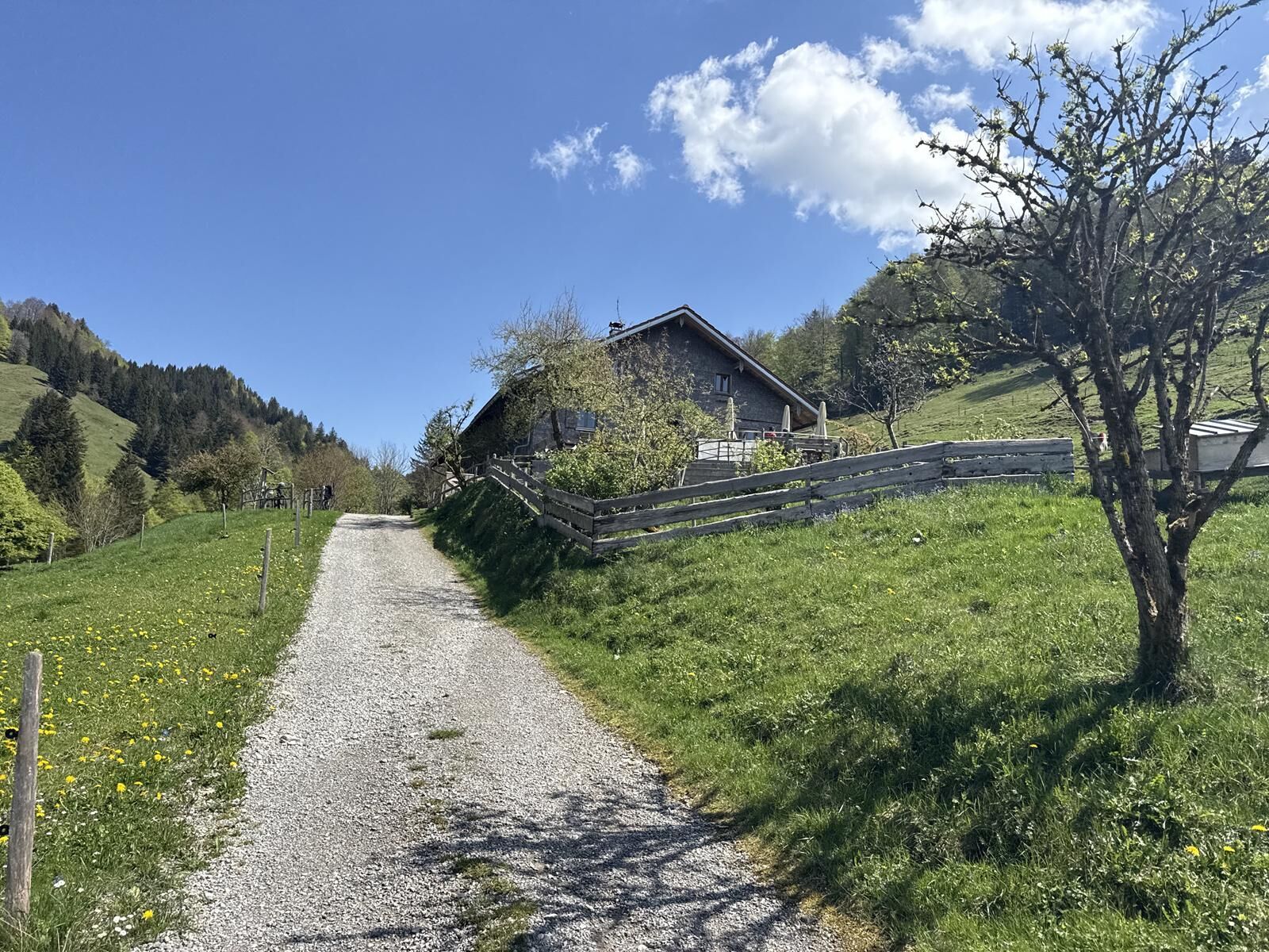
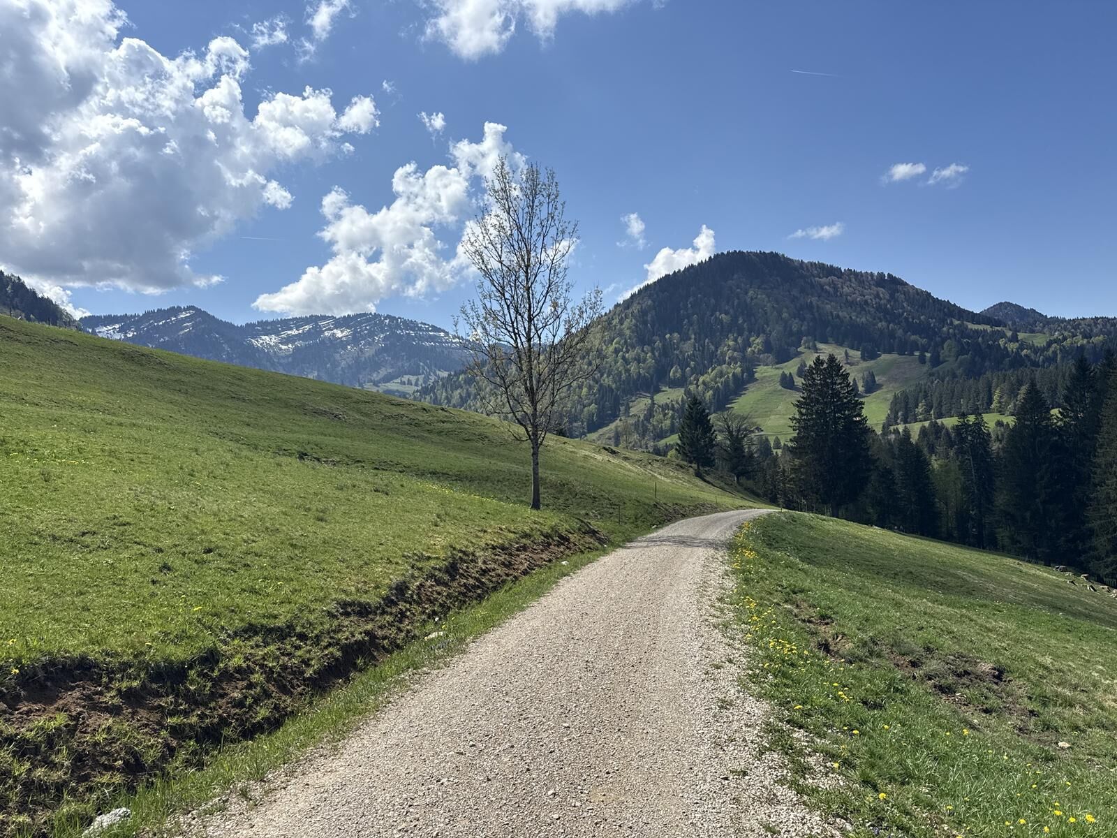
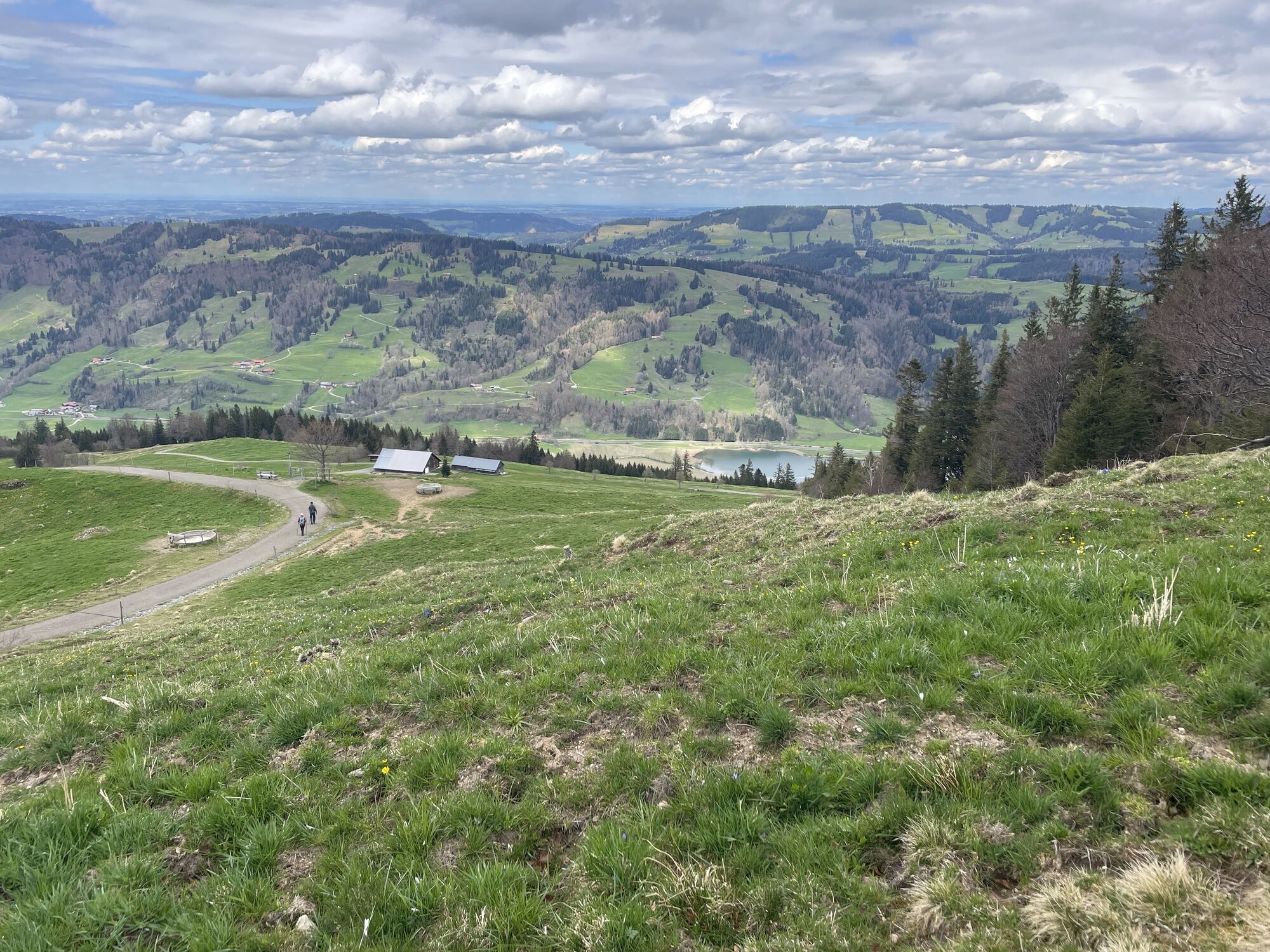
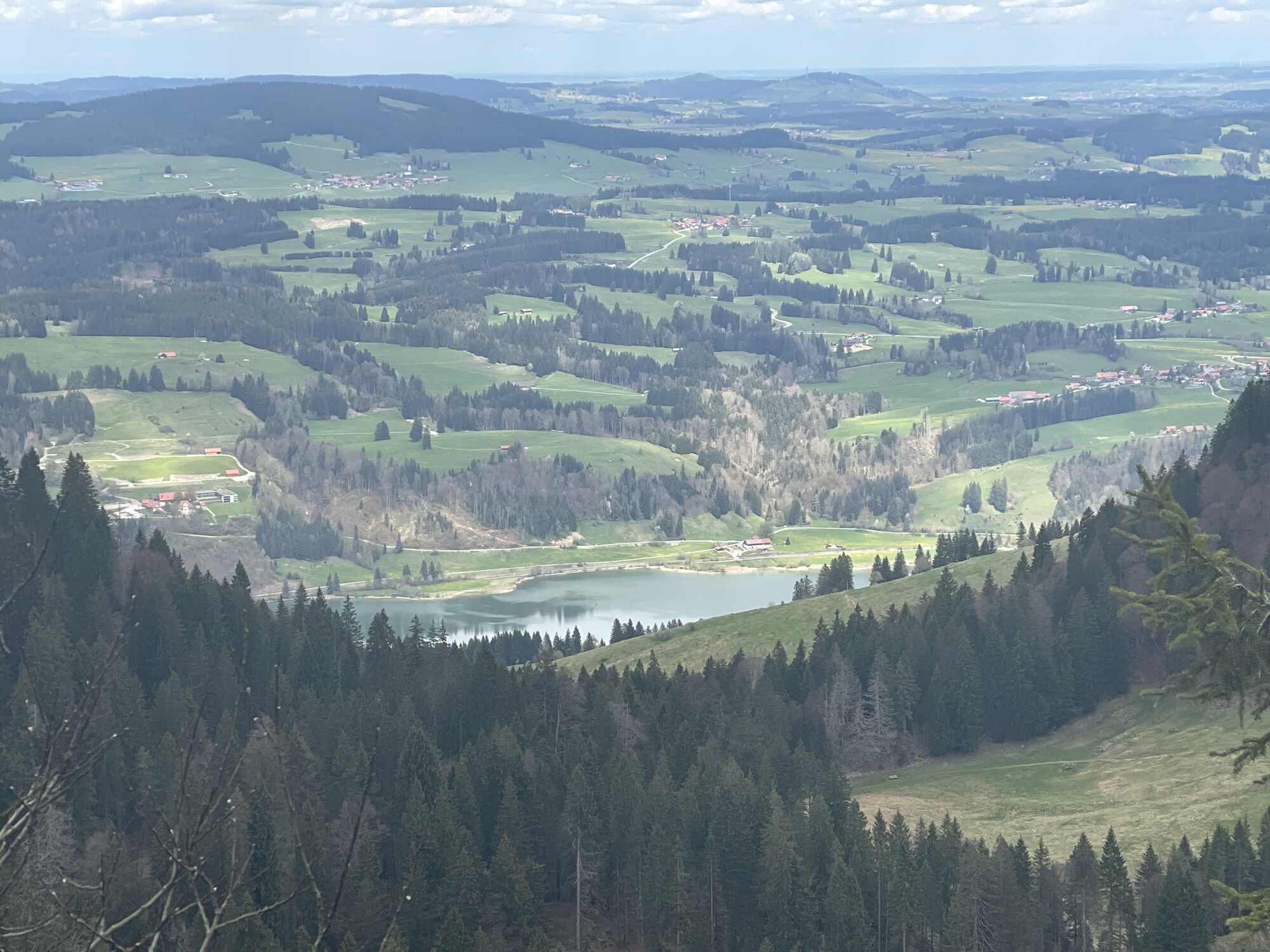

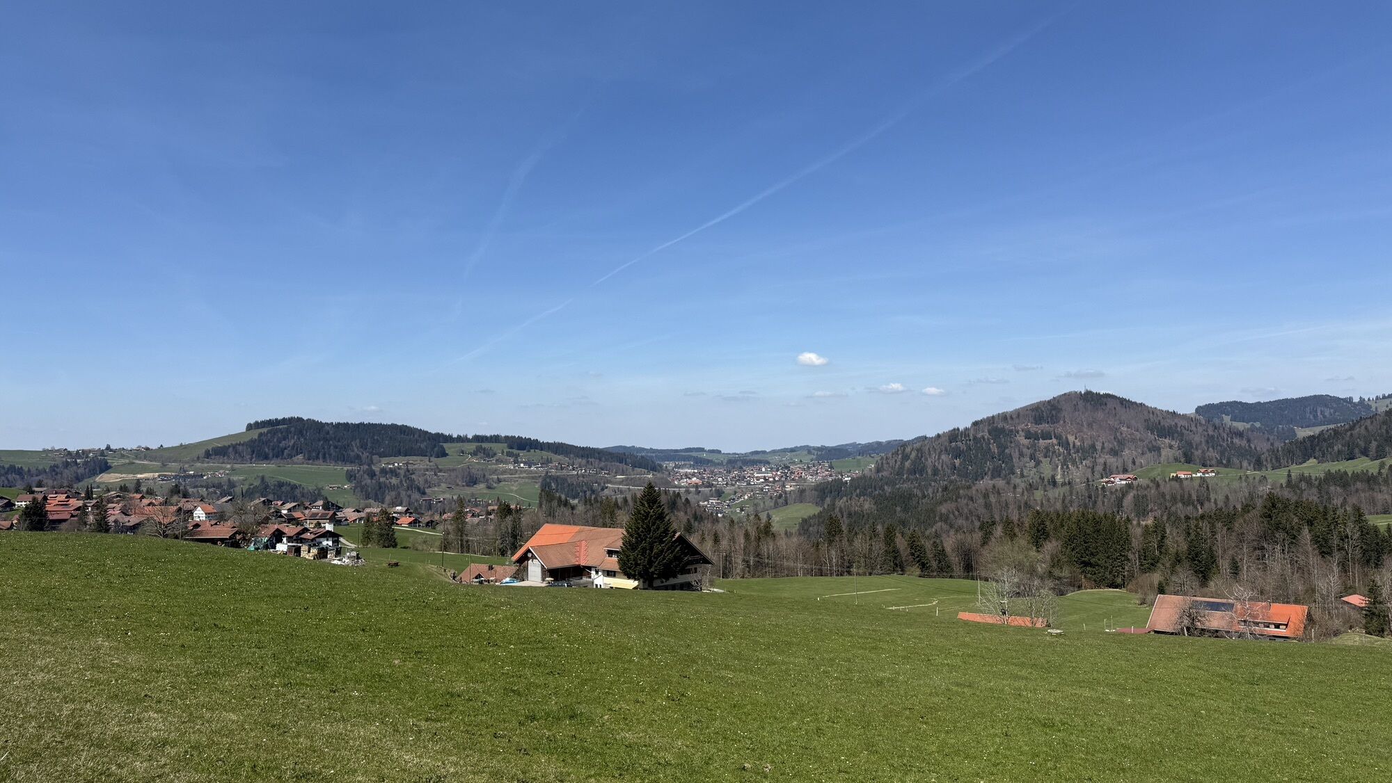
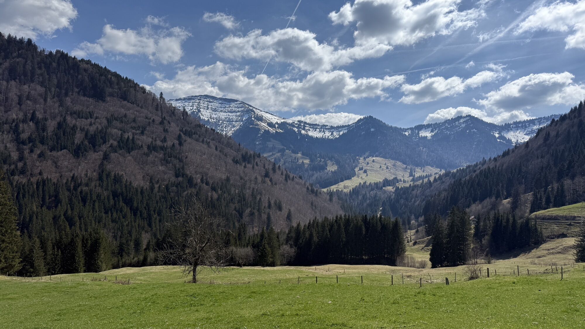
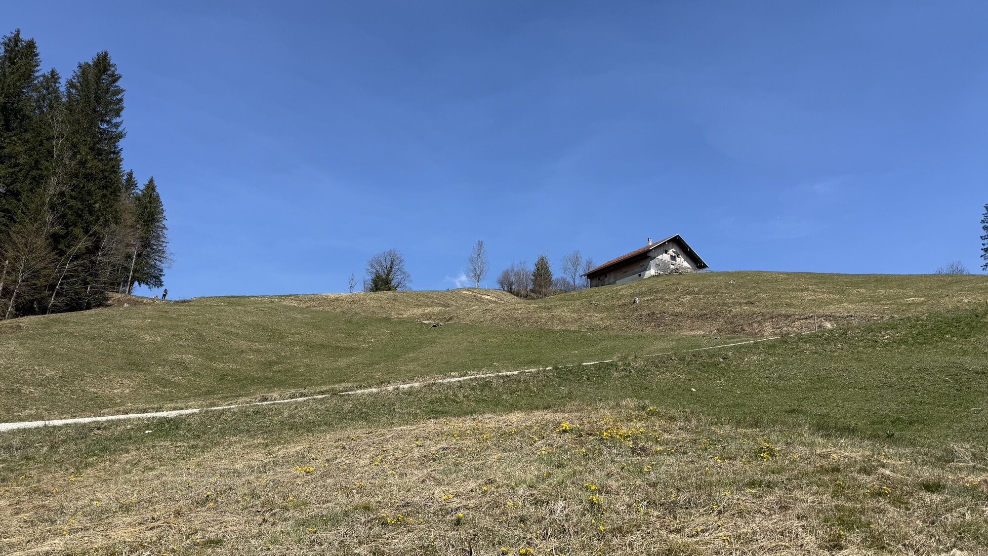
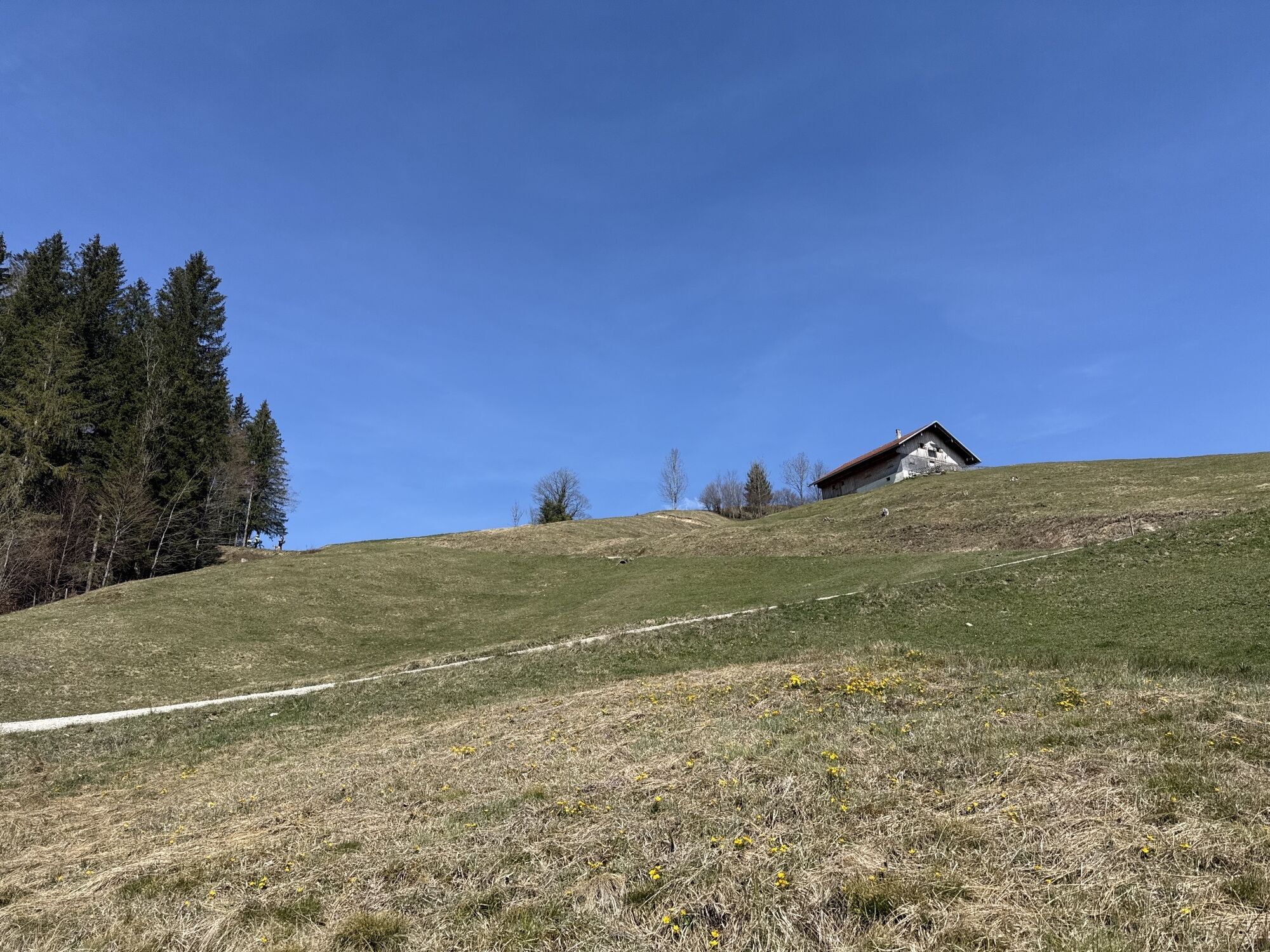
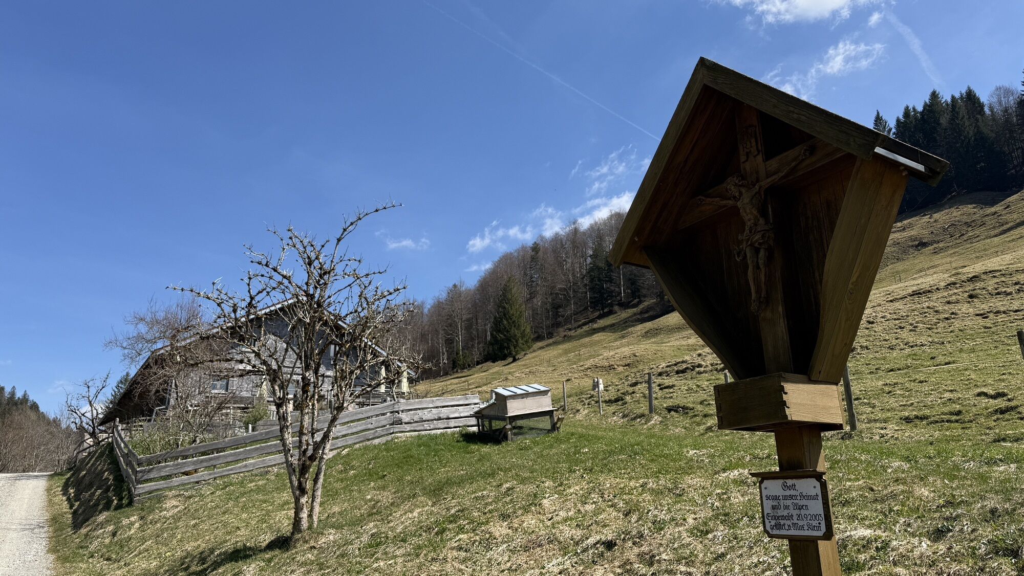
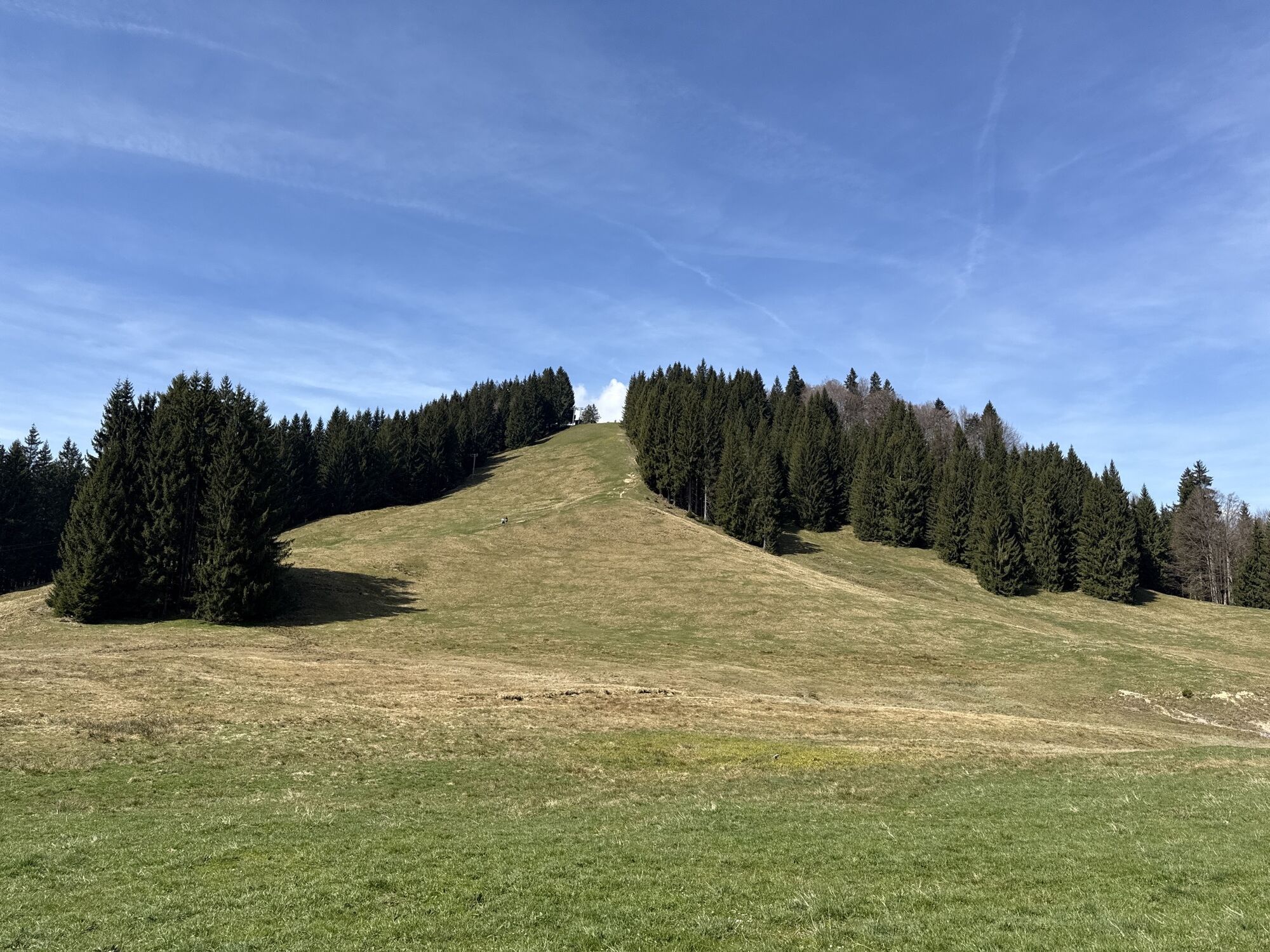


The route leads from or via Steibis to the high plateau at Imberg and across the border to Hoch Häderich. With beautiful views, you roll towards Hittisau, then the path leads through the picturesque Leckner...
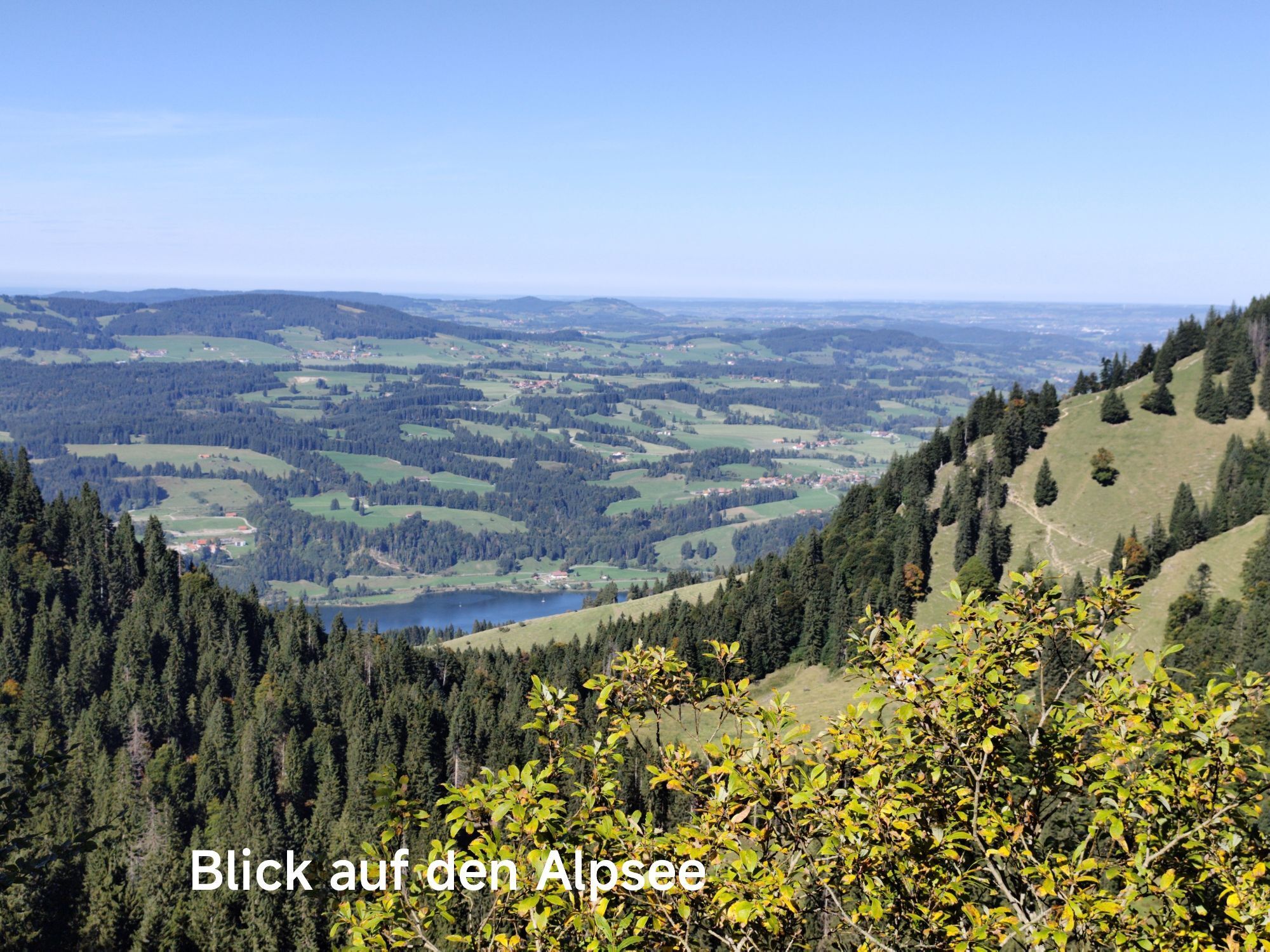
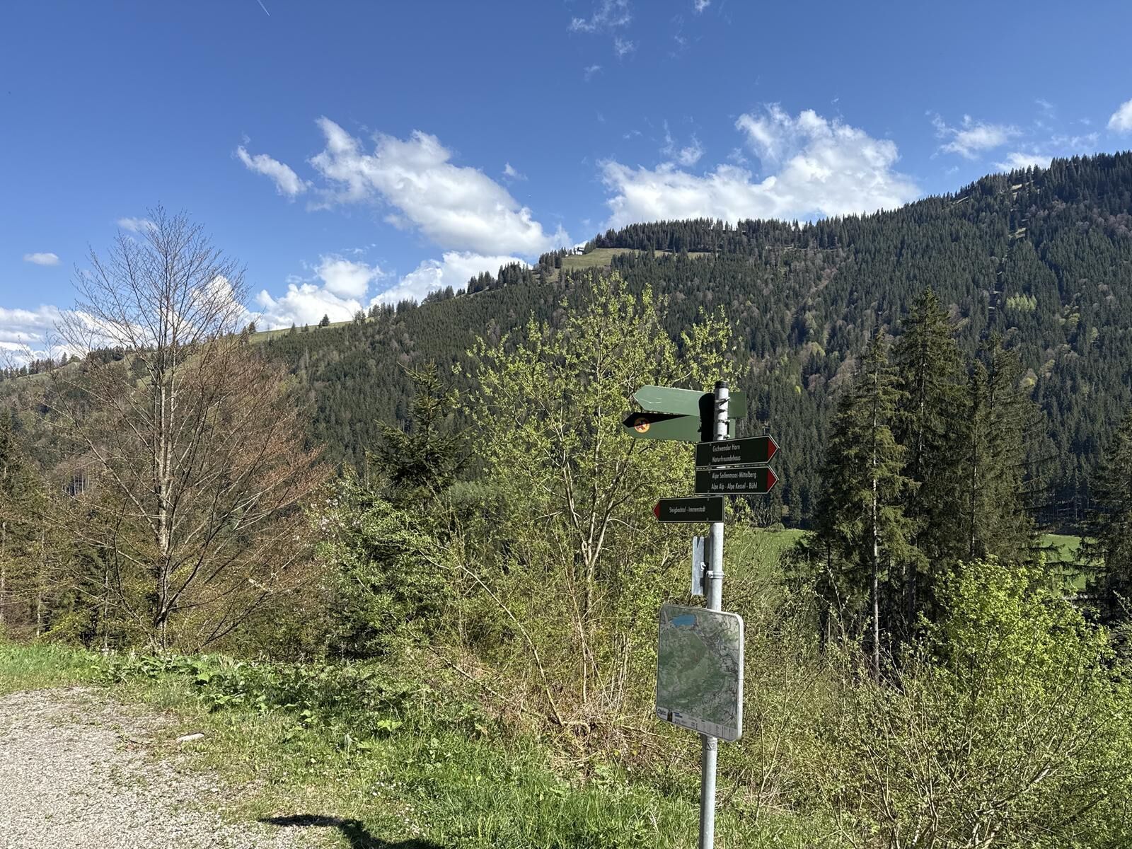
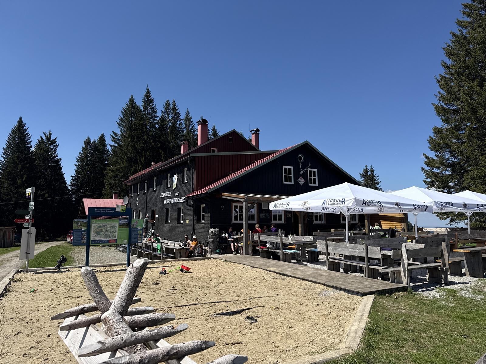
The route leads from or via Steibis to the high plateau at Imberg and across the border to Hoch Häderich. With beautiful views, you roll towards Hittisau, then the path leads through the picturesque Leckner valley south of the Nagelfluh chain. The descent through the alpine area in the Gunzesried valley is relaxing, then follows a strenuous ascent with a steep ramp up to Bärenköpfle - from there further to Mittag. At a short stop at the mountain station, be sure to enjoy the beautiful view before the descent continues via the intermediate station. A few more meters downhill, then follows another long ascent on a forest path over the Steigbach valley up to the Kempten Nature Friends House. From there, it goes on the signposted Wildes Allgäu nature biker route past the Alpsee Bergwelt. The route continues past Alpen Schwingund, Bärenschwändle, Leuterschwand, Kuhschwand and Moosalpe. Past the Fuchslöcher by the Alpe Sonnhalde and continuing on the picturesque path. After a steep climb, you shortly reach the so-called Tarzansteg. There cross the Weißach and pass a few flow gates before going back up to the starting point in Steibis.

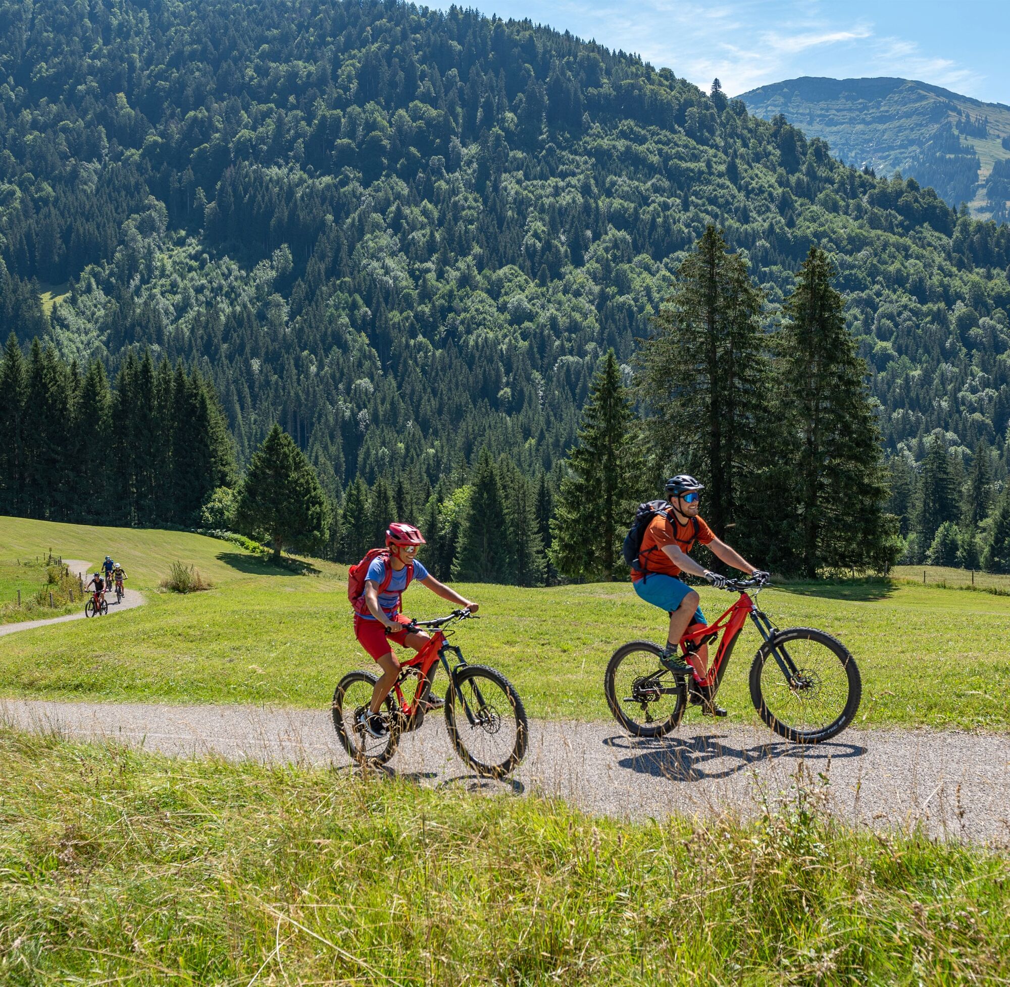
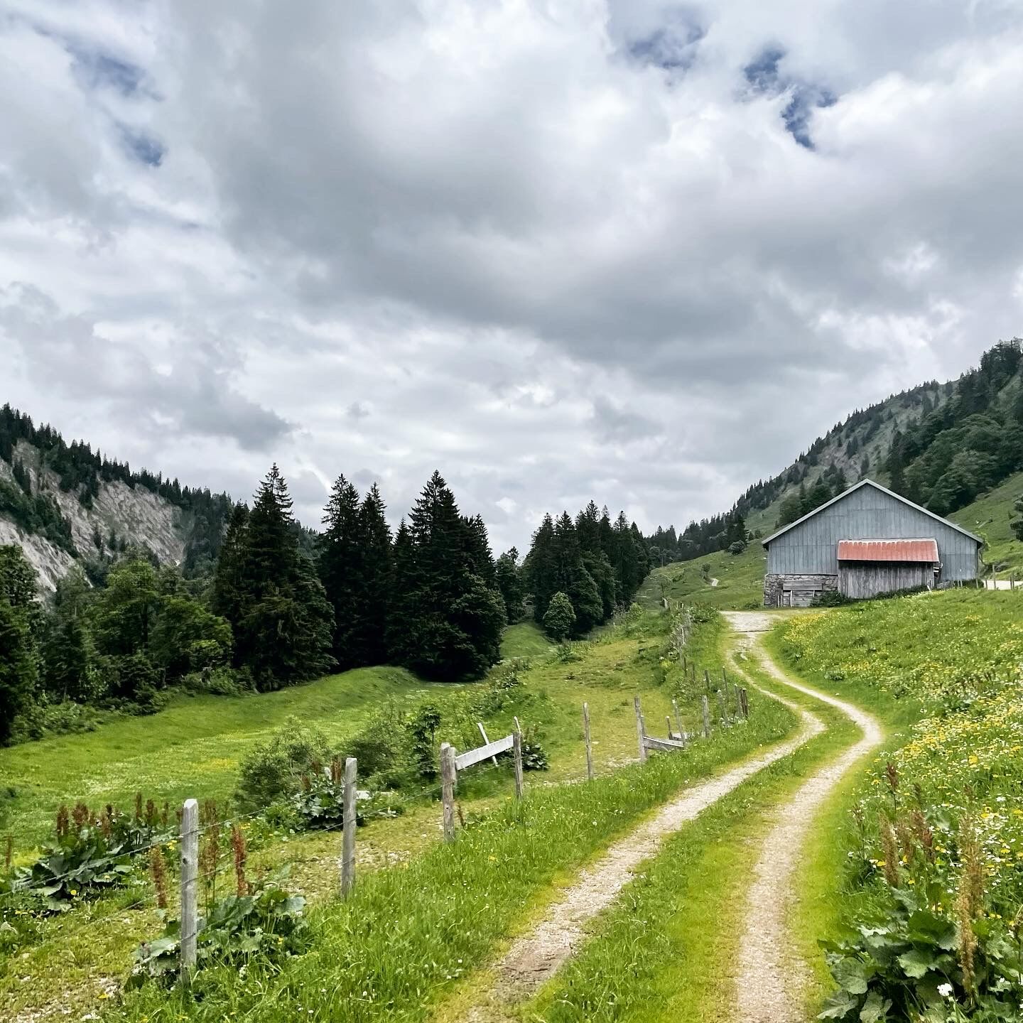
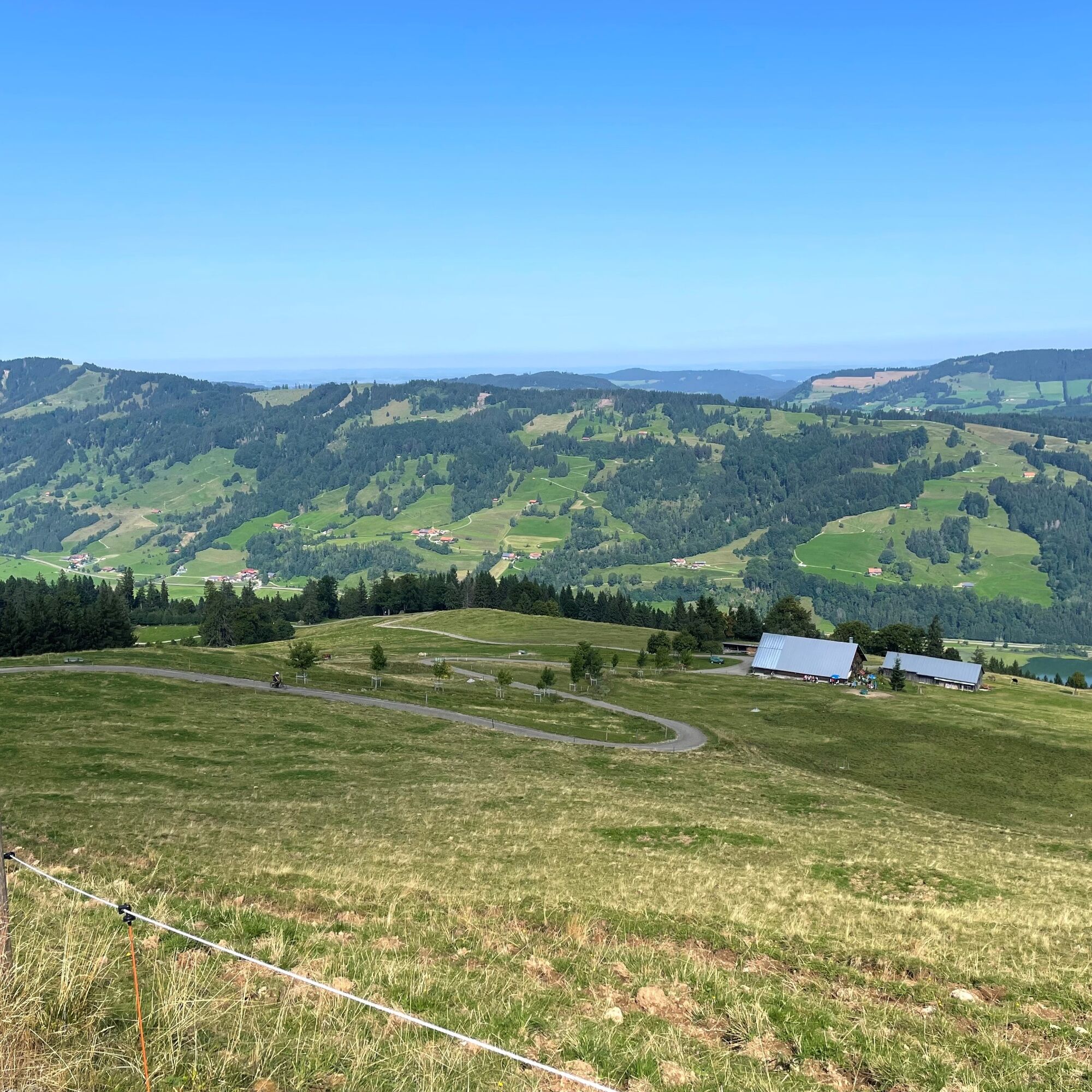
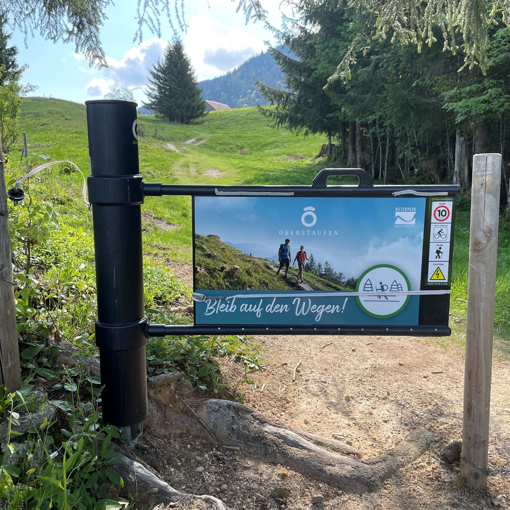
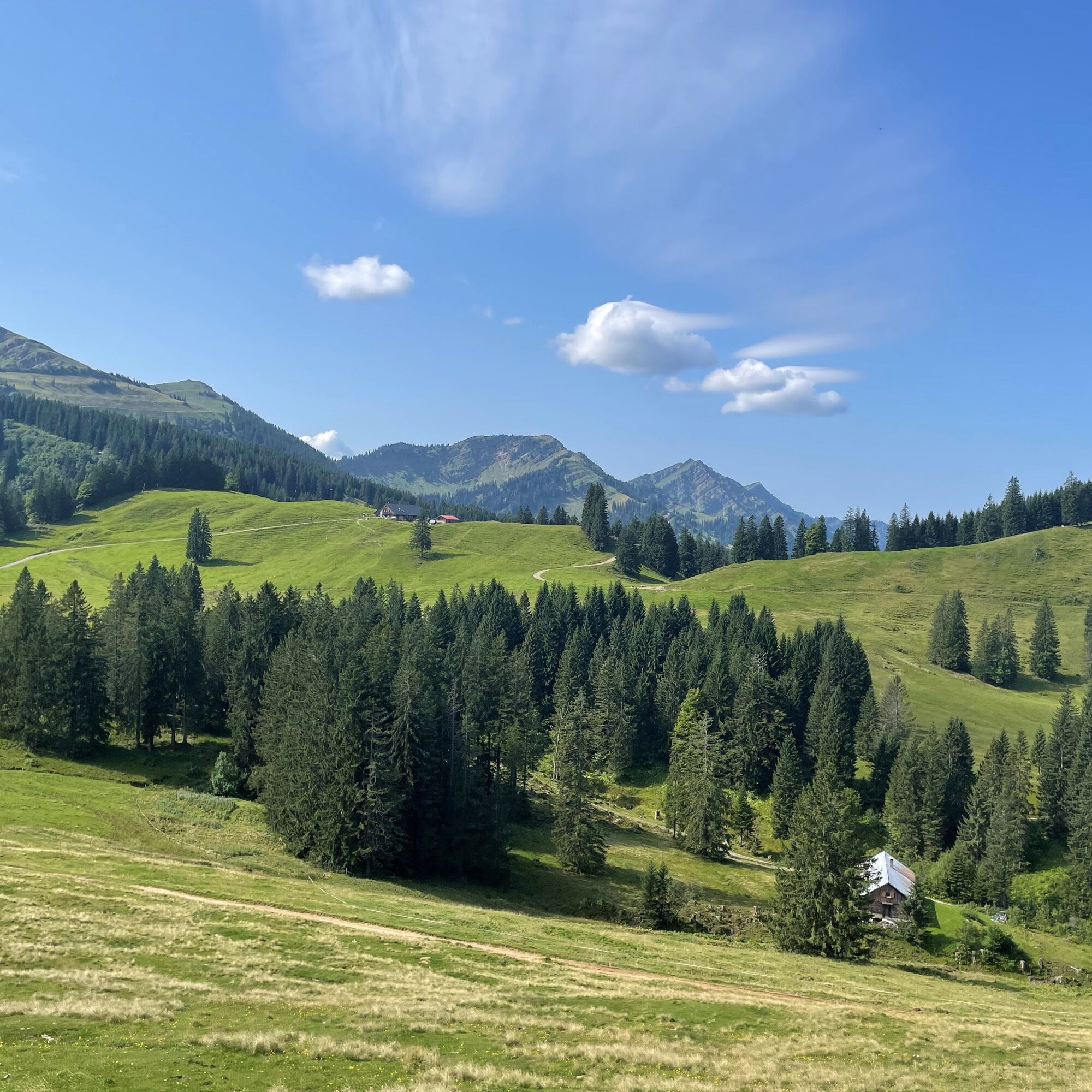
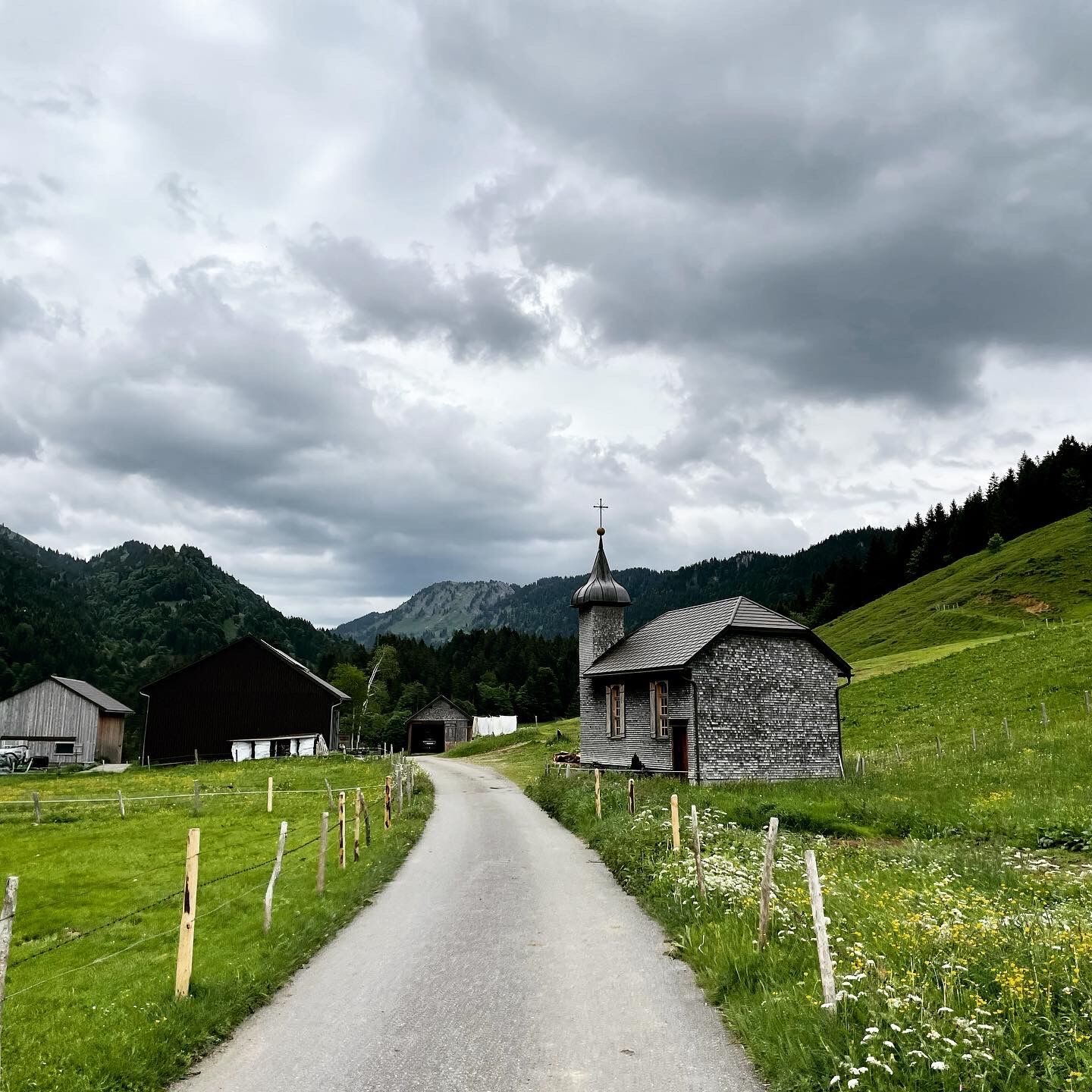
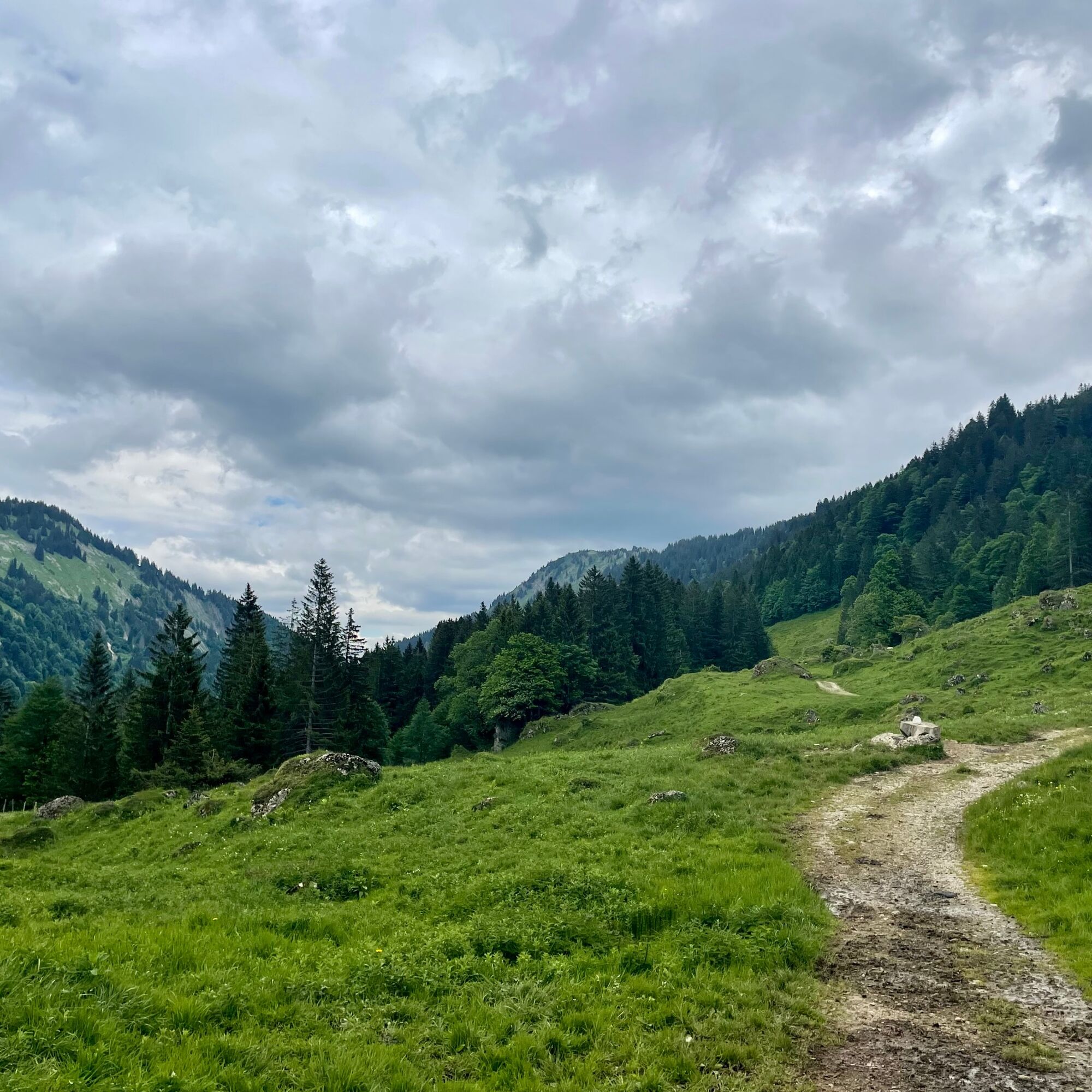
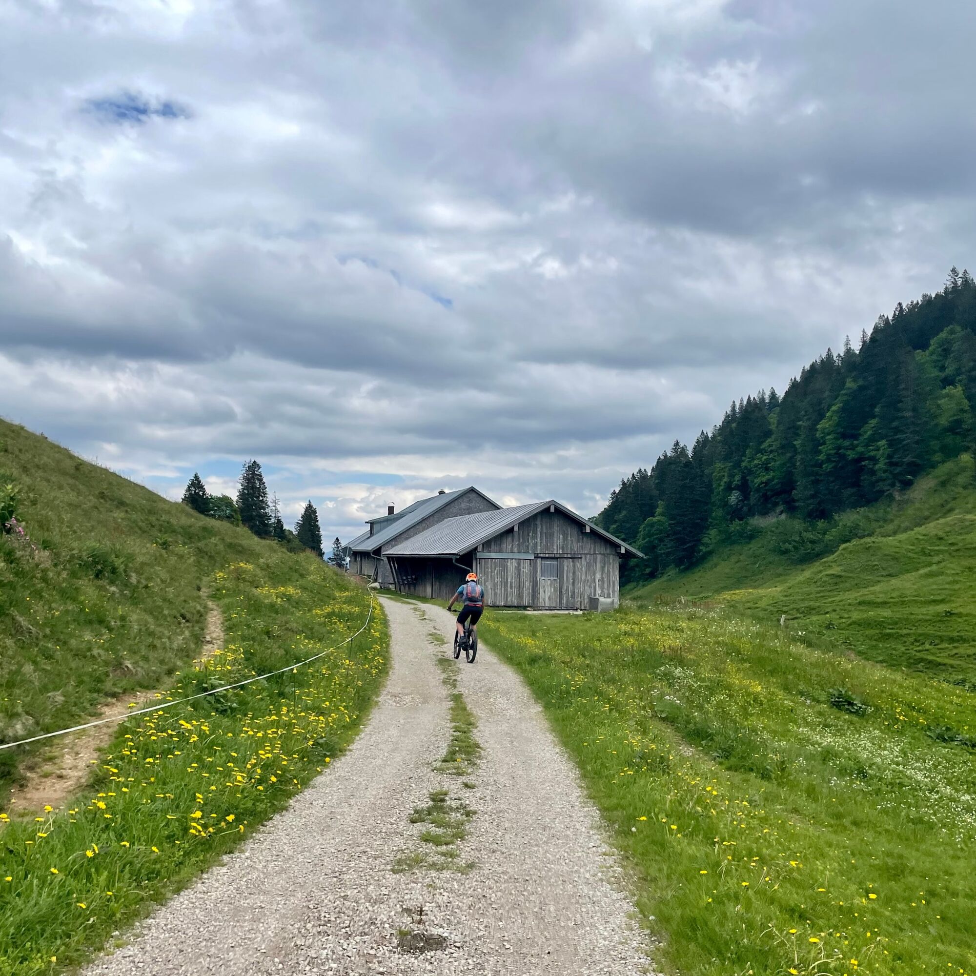
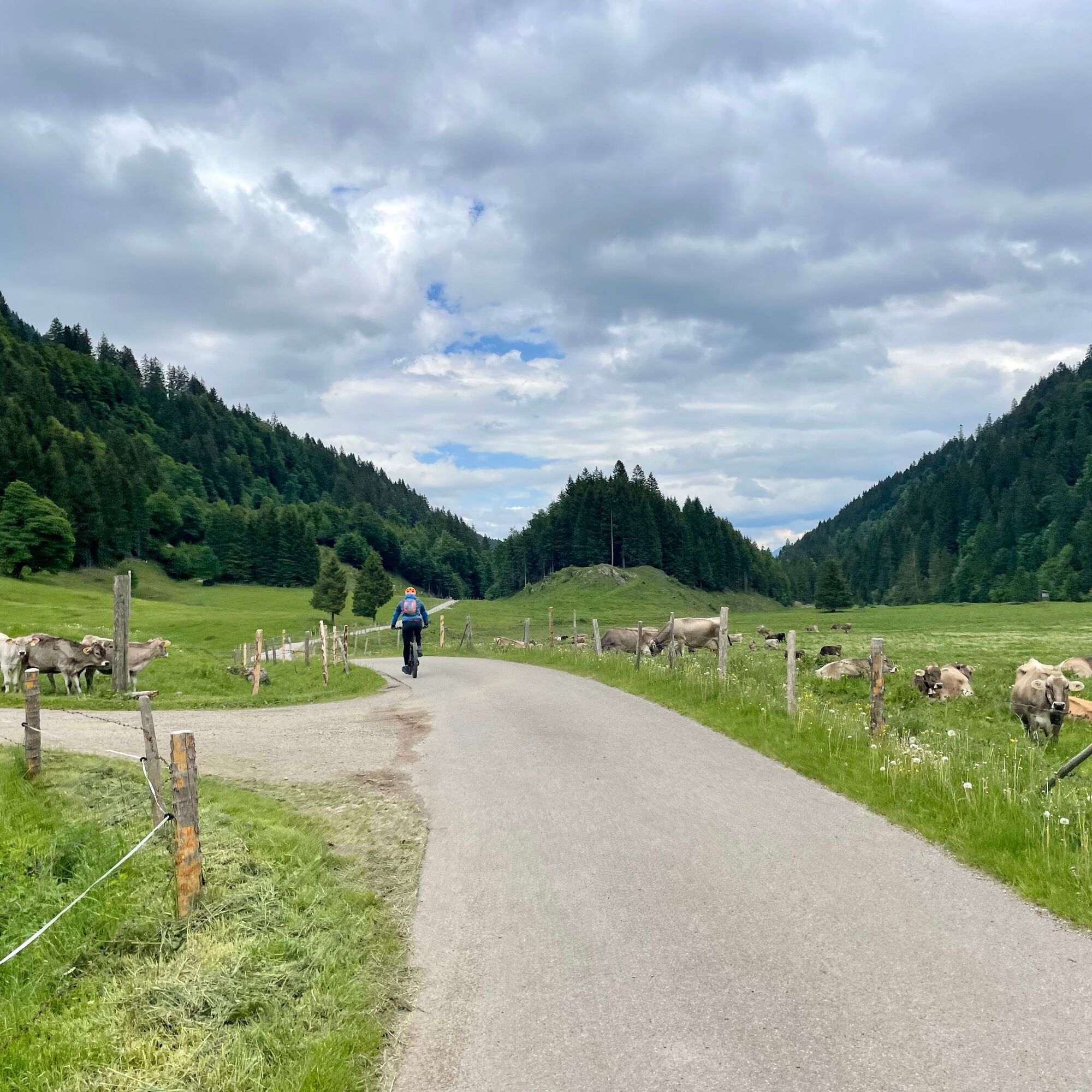
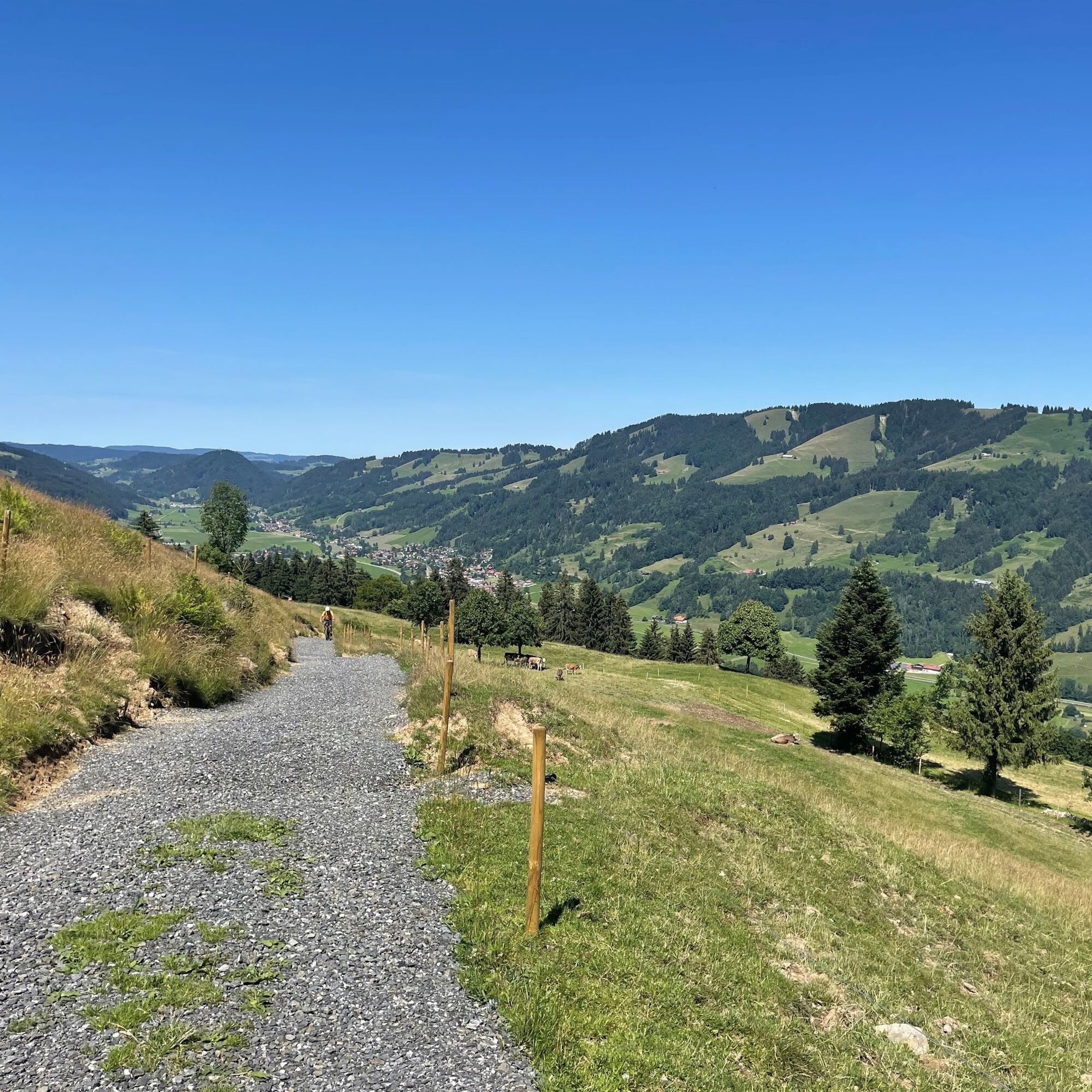
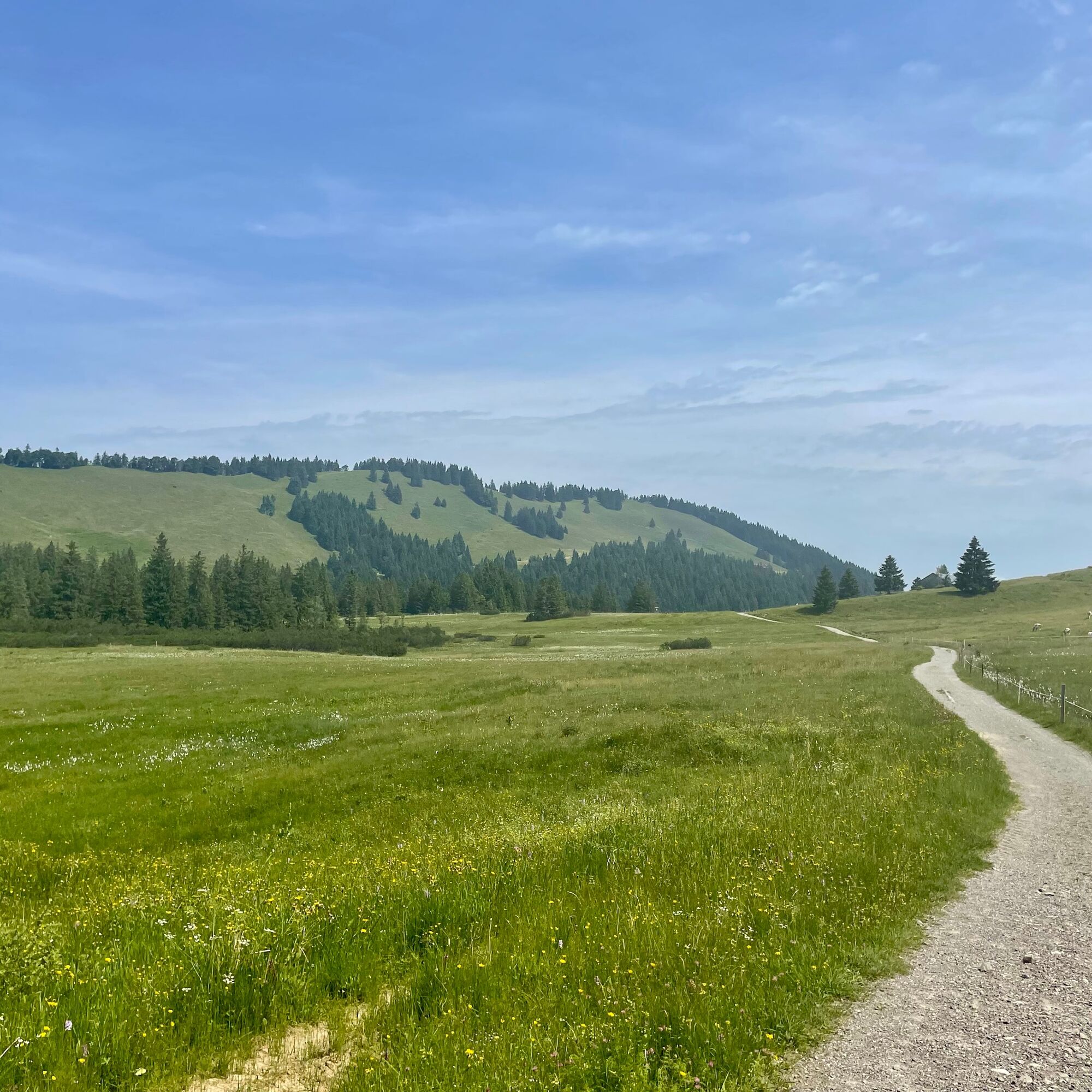

Steibis Imbergbahn - Alpengasthof Hochbühl - Alpe Hochwies - Almhotel Häderich - Hennenmoosalpe - towards Hittisau - turnoff Leckner valley before crossing Bolgenach - Leckner Lake - Helmingen Alpe - Alpe Scheidwang - Gunzesried sawmill - turnoff Bärenköpfle - Vorder Krumbachalpe - Mittag mountain station - wooden chapel - Kempten Nature Friends House - Alpsee Bergwelt mountain station - Alpe Leutenschwand - Alpe Kuhschwand - Moosalpe - Fuchslöcher - Alpe Sonnhalde - Tarzansteg - Steibis
Áno
S1
On S1 trails, you have to overcome smaller obstacles such as flat roots, small stones, and water gutters. The gradient is a maximum of 40%. Basic riding skills like dosed braking and body shifting are necessary.
During the grazing season, there are several pasture crossings around the Sura Alpe in the Leckner valley.
Alpe Vorderkrumbach: https://www.alpgenuss.de/alpen/detail/alpe-vorder-krumbach
Kemptner Nature Friends House: https://bergbriada.de/
Mountain hut Bärenfalle: https://berghuette-baerenfalle.com/
Note: The route is not explicitly signposted; GPX data is available for navigation.
When riding with an e-bike, make sure the battery is sufficiently charged. If necessary, take a charger and recharge at one of the huts (observe opening times!).
Webové kamery z prehliadky
-
Alpenarena Hochhäderich
-
Hochgratbahn Bergstation
-
Oberstaufen
-
Skilifte Sinswang
-
Oberstaufen - Biohotel Schratt
-
Oberstaufen - Biohotel Schratt
-
Langenegg Kirchdorf
-
Segelclub Alpsee
-
Gschwendlift 1 Bergstation
-
Balderschwang - Schelpenbahn
-
Hittisau
-
Bergstation Weltcup-Express
-
Bergstation Ofterschwang
-
Gipfel Ofterschwanger Horn
-
Talstation Ossi-Reichert Bahn
-
Oberstaufen
-
Segelclub Alpsee
-
Mittaggipfel
-
Hochschelpenbahn Talstation
-
Sonthofen - Panzer & Braun Tiefbau
-
Balderschwang
-
Fluhexpress Berg
-
Fluhexpress Berg
-
Fluhexpress Berg
-
Fluhexpress Berg
-
Fluhexpress Berg
-
Alpe Hohenschwand
-
Oberstaufen
-
Oberstaufen
-
Oberstaufen
-
Oberstaufen
-
Oberstaufen
-
Alpe Birkach
-
Thaler Höhe
-
Oberstaufen
-
Balderschwang
-
Oberstaufen - Rosenalp
-
Balderschwang
-
Fluhexpress Bergstation
-
Hündlebahn Bergstation

Obľúbené výlety v okolí
-
4,6
Steibis - Buchenegger Waterfalls
strednáTuristika 6,47 km -
4,5
Hittisau | Wasserwanderweg
svetloTematická trasa 7 km -
4,0
Klassikertour: Auf den Grünten
ťažkéTuristika 8,50 km -
4,7
Rubihorn
strednáTuristika 9,06 km -
4,8
Rubihorntour
strednáHorská turistika 13,0 km -
4,6
Unterer Gaisalpsee
strednáVysoké turné 8,64 km -
4,0
Winter circular hike through the Breitachklamm gorge
strednáZimná turistika 5,66 km -
4,4
3-Gipfel-Tour bei Sonthofen im Allgäu
strednáTuristika 11,4 km -
4,4
Wanderung auf den grünten
strednáTuristika 8,31 km -
4,4
Starzlachklamm
strednáTuristika 5,30 km
Turistika a stopovanie


Nenechajte si ujsť ponuky a inšpiráciu na ďalšiu dovolenku
Vaša e-mailová adresa bol pridaný do poštového zoznamu.


