







MTB 95 Hochstaufen-Runde
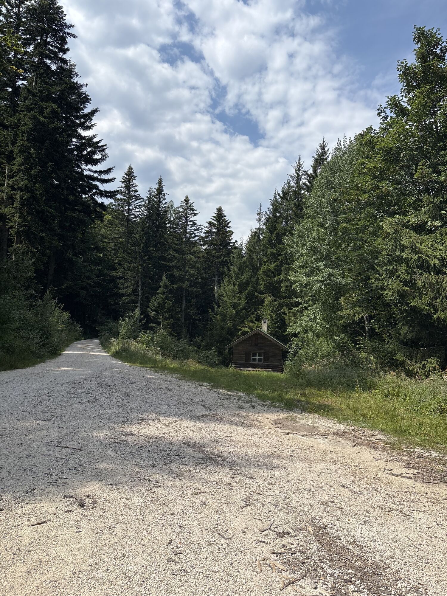
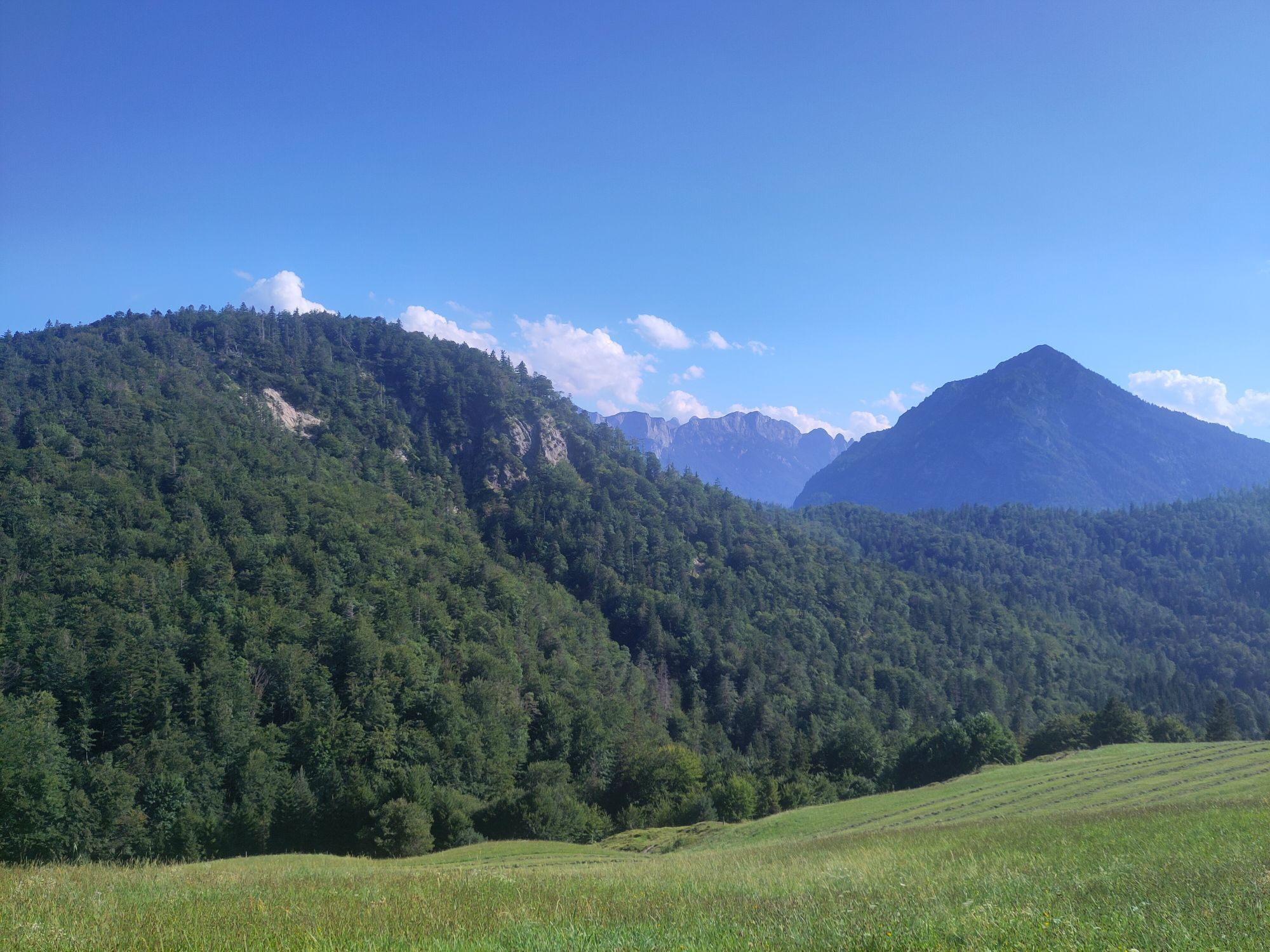
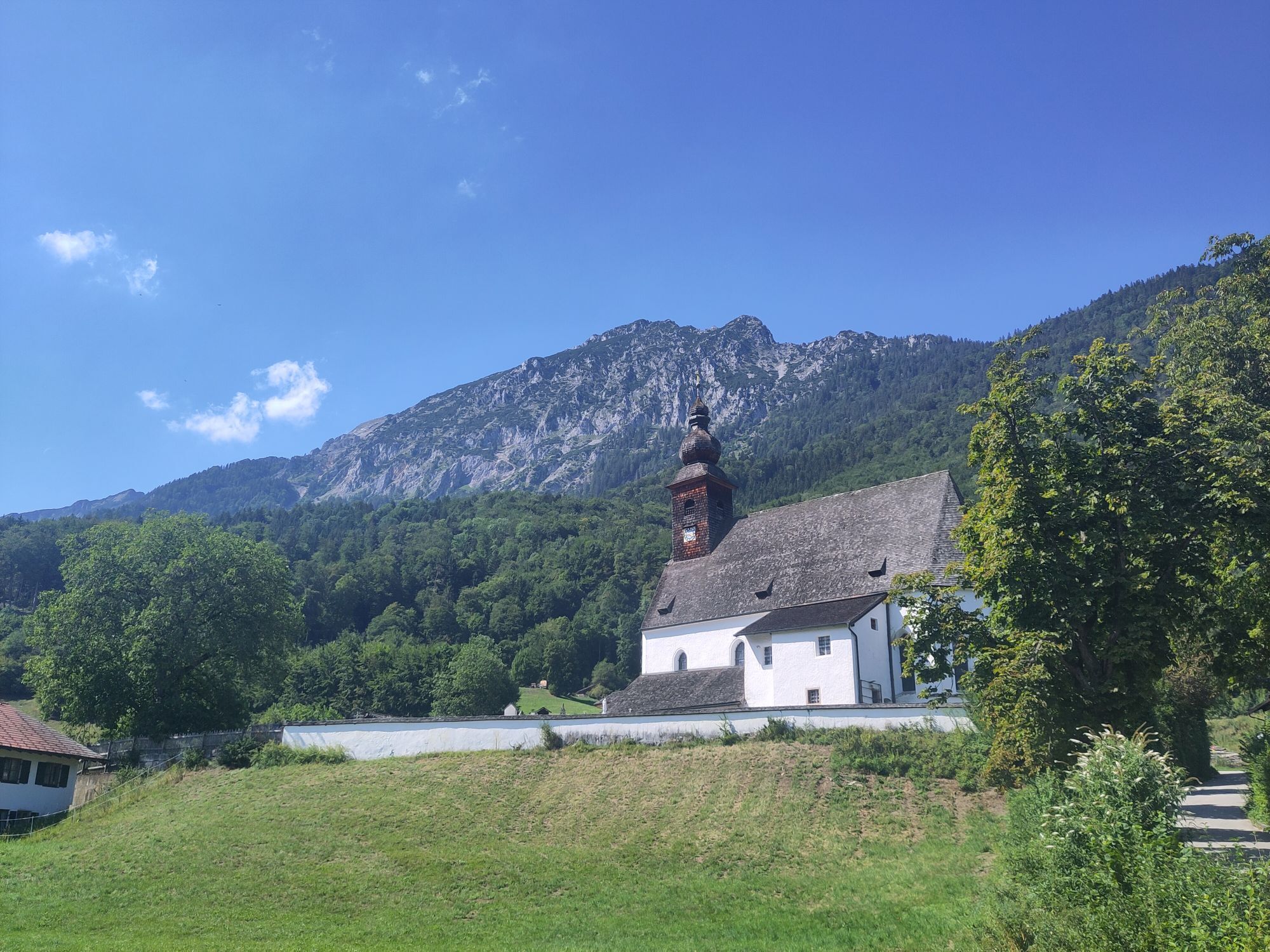
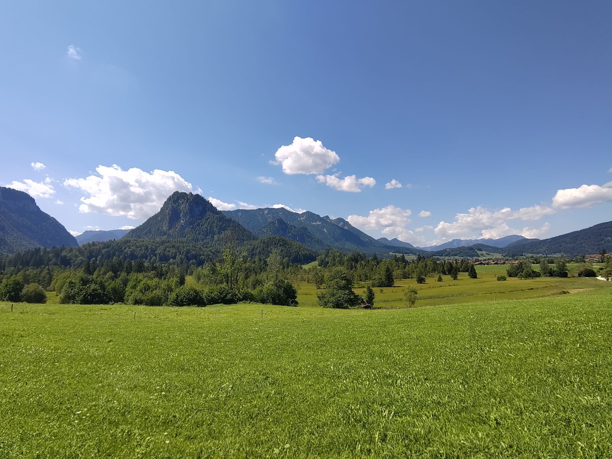
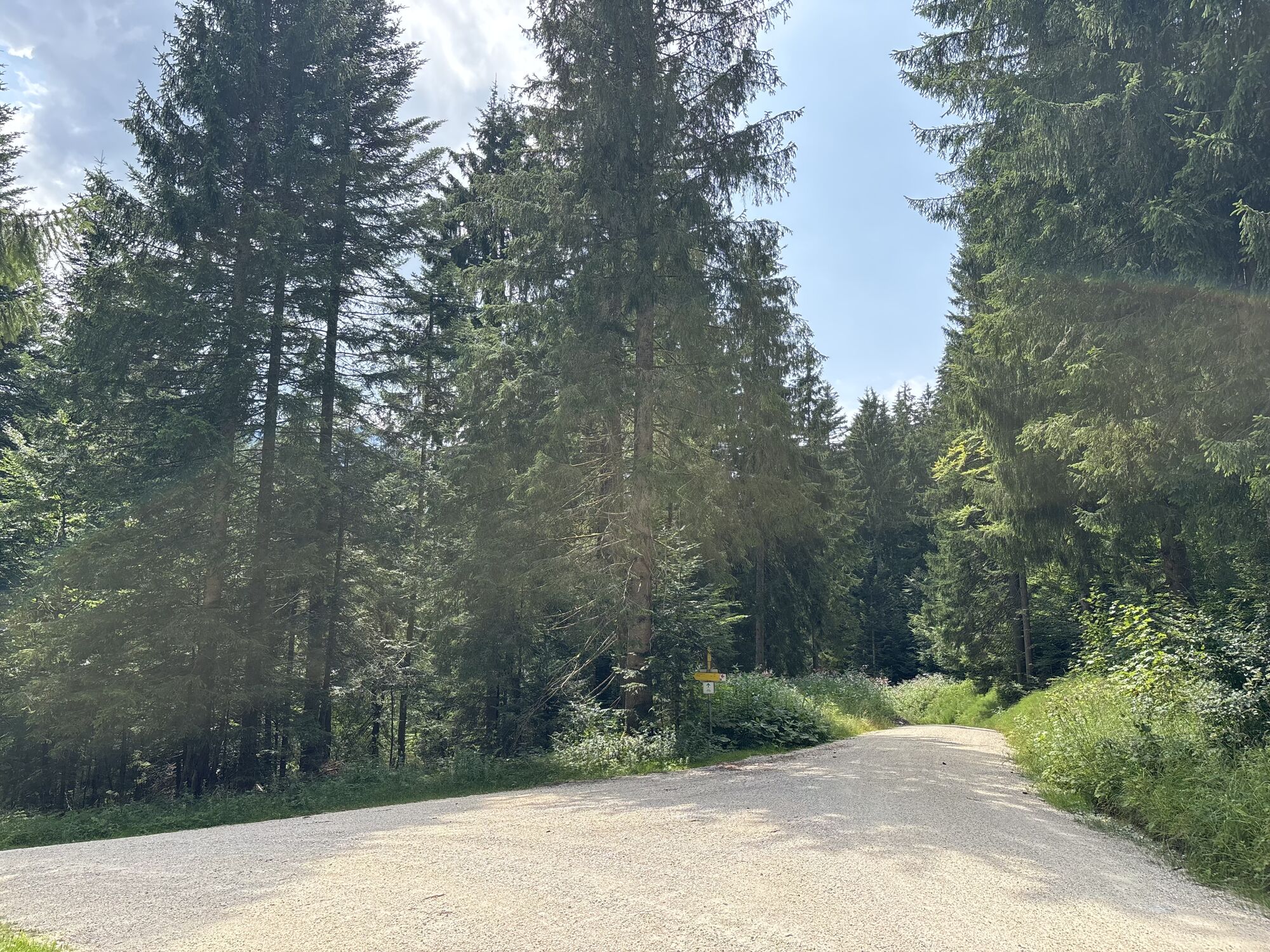
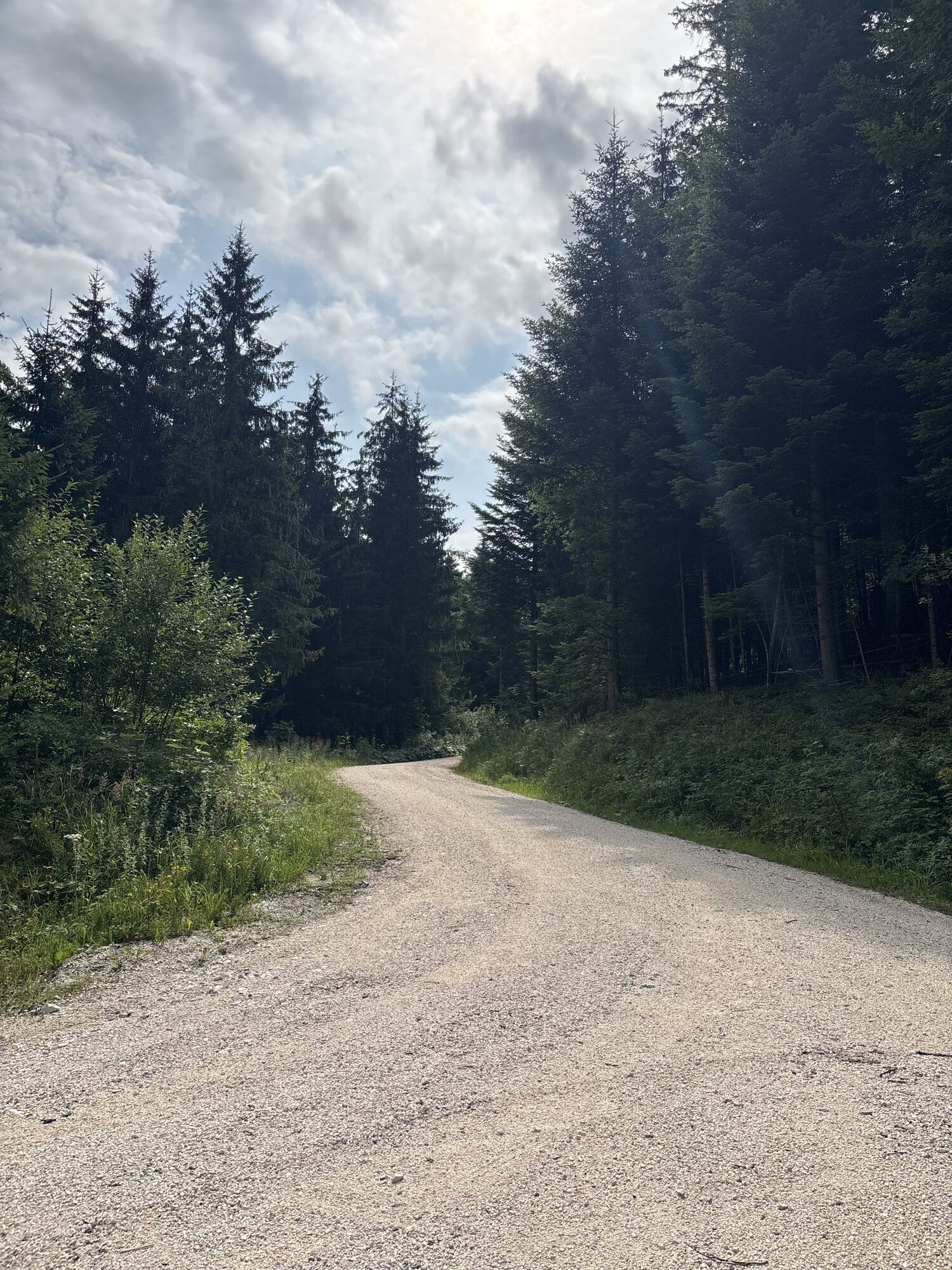
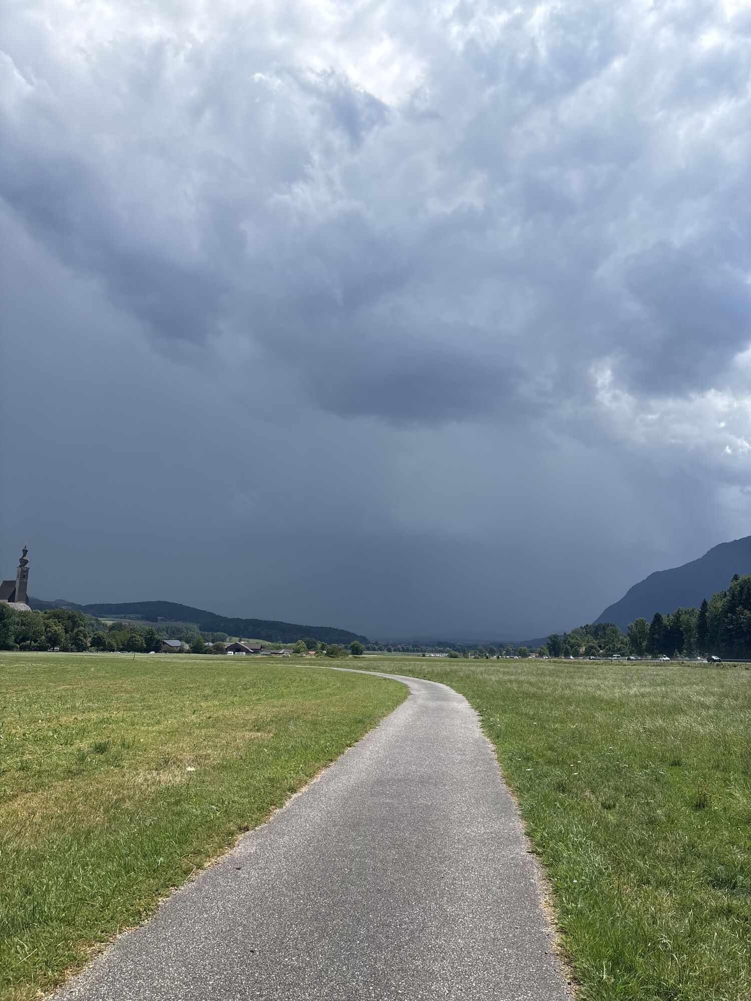
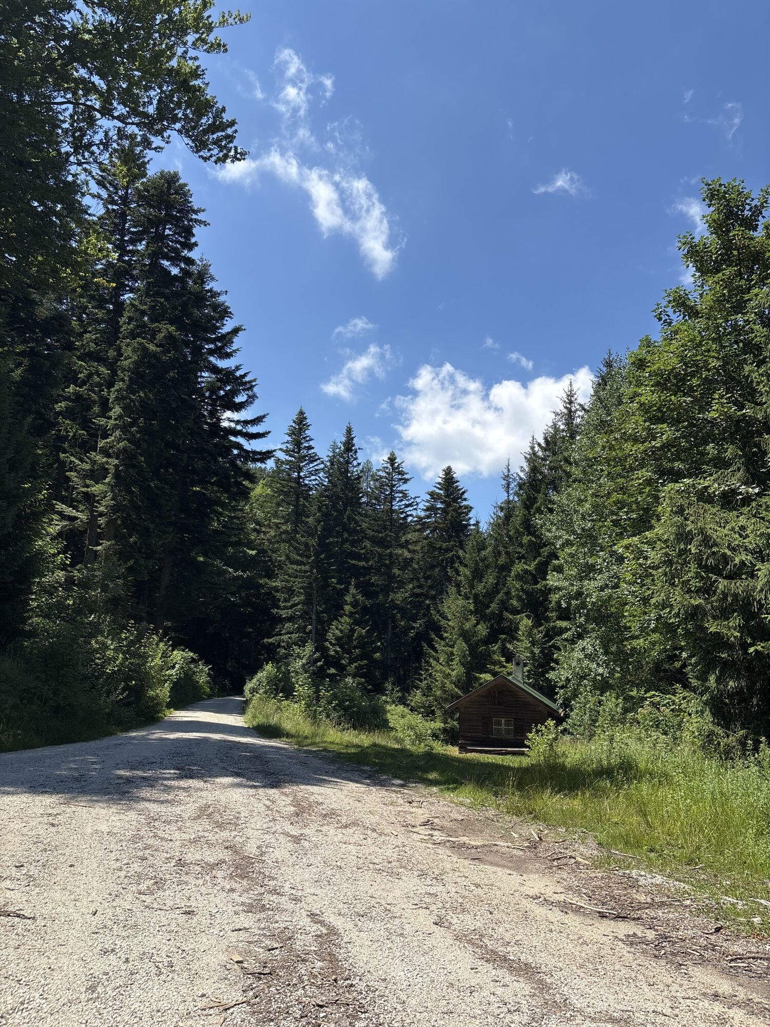
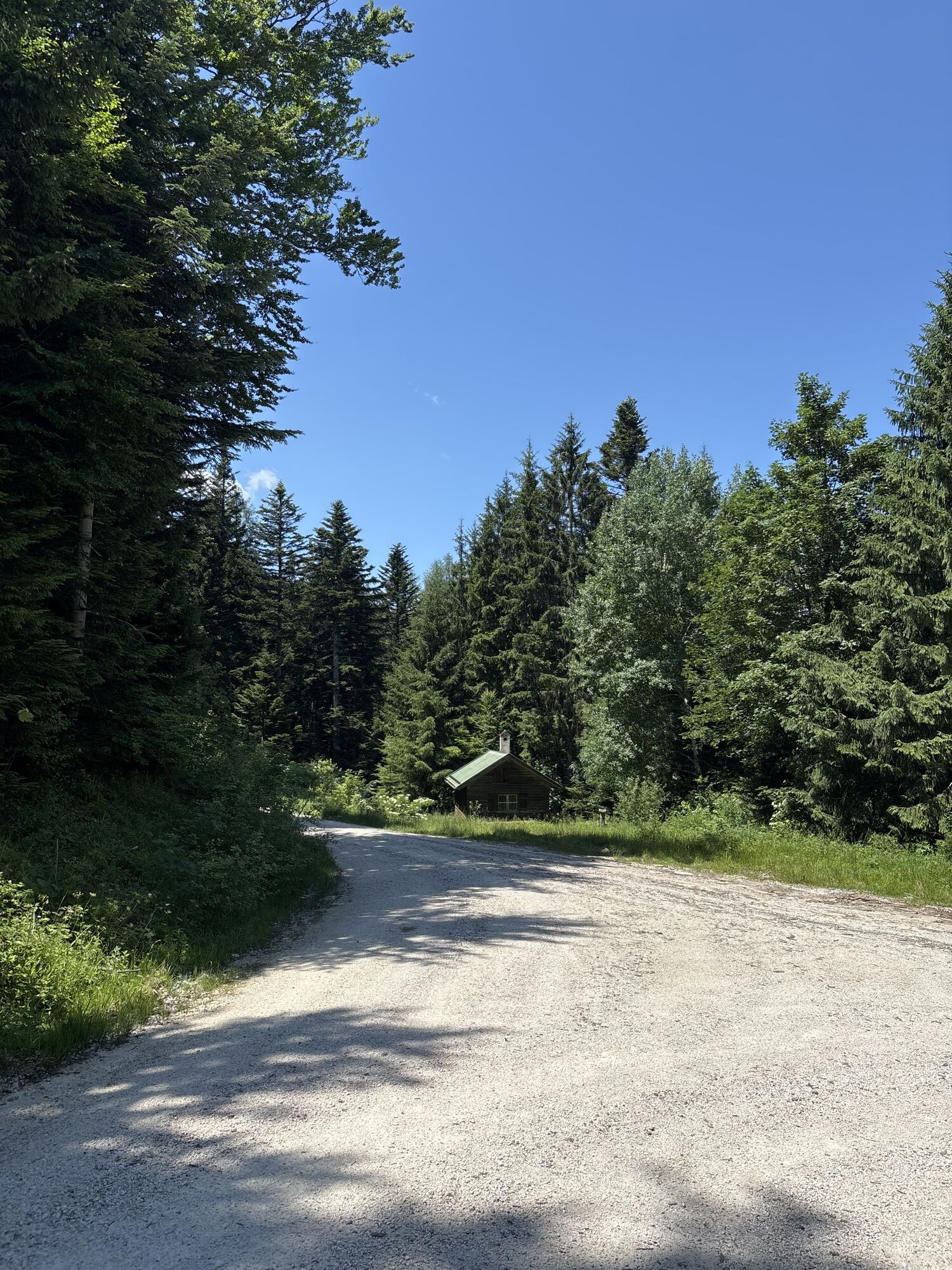
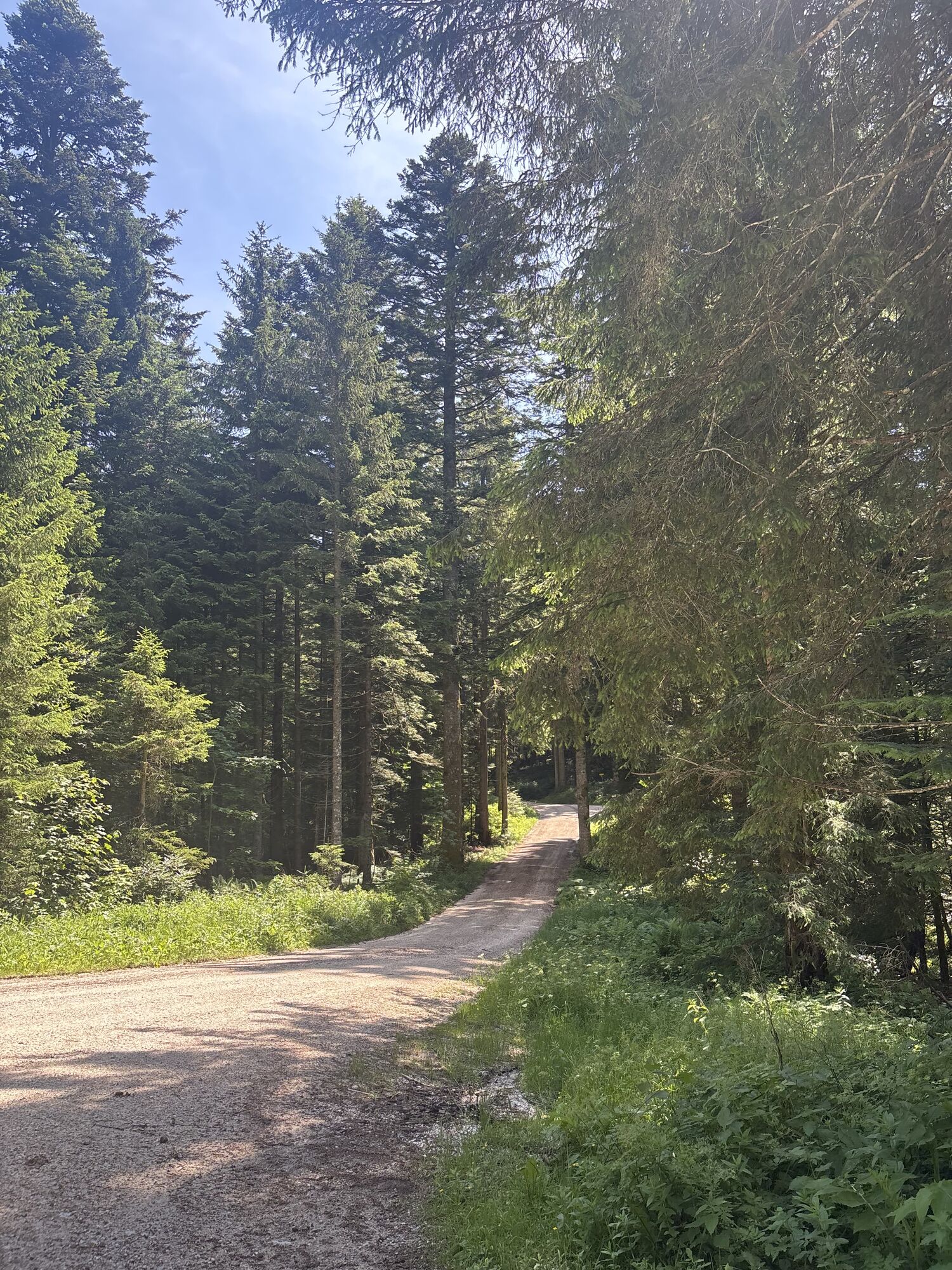
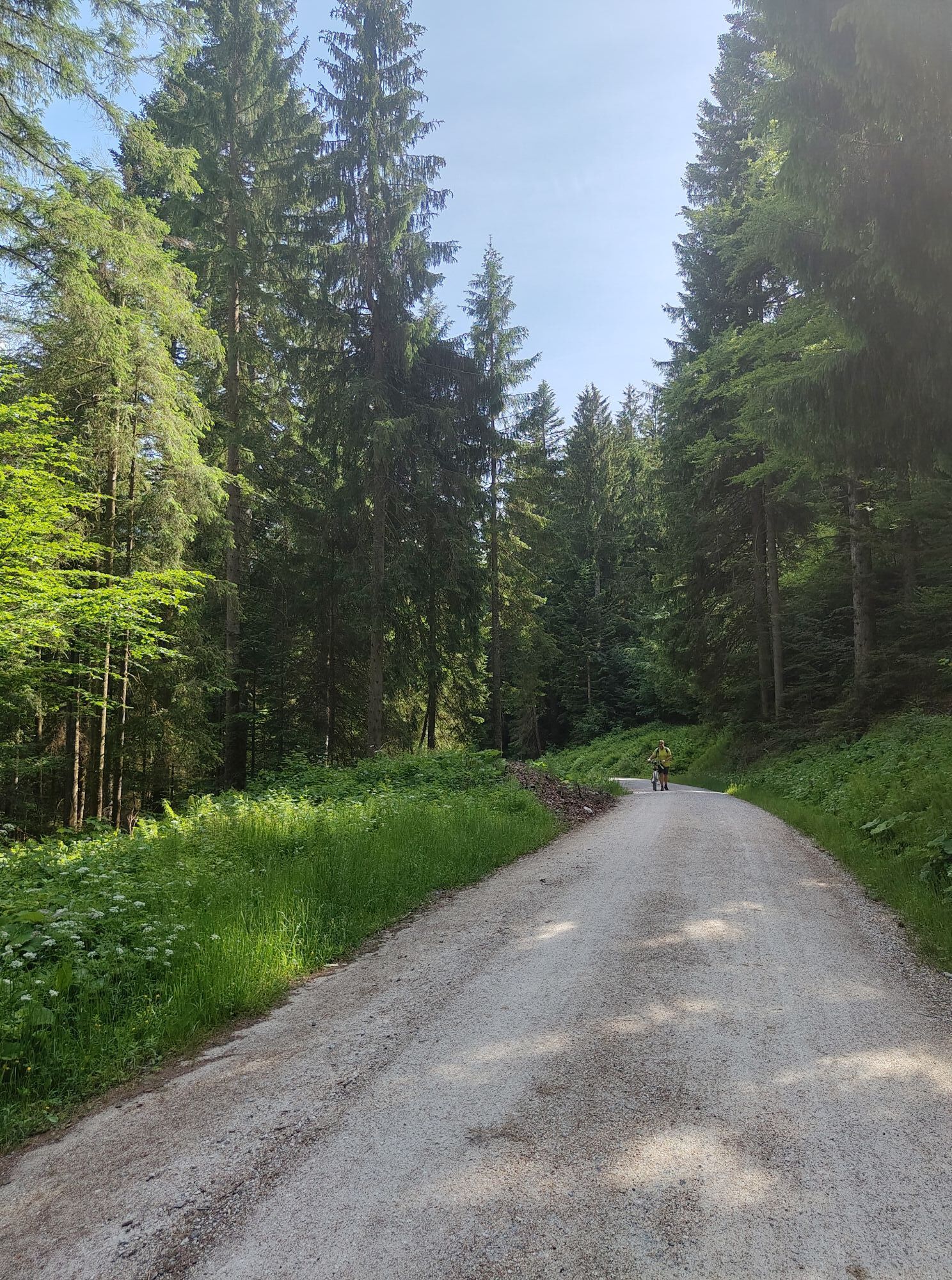
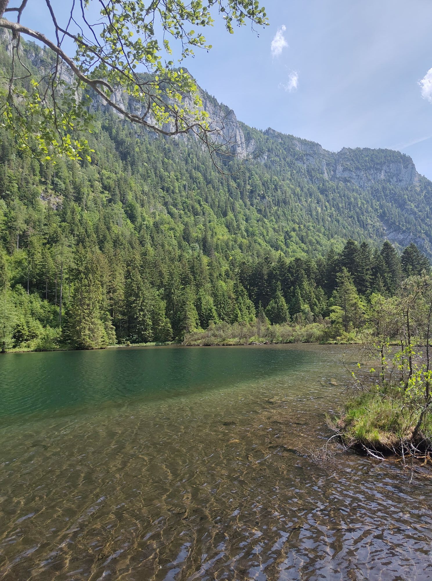
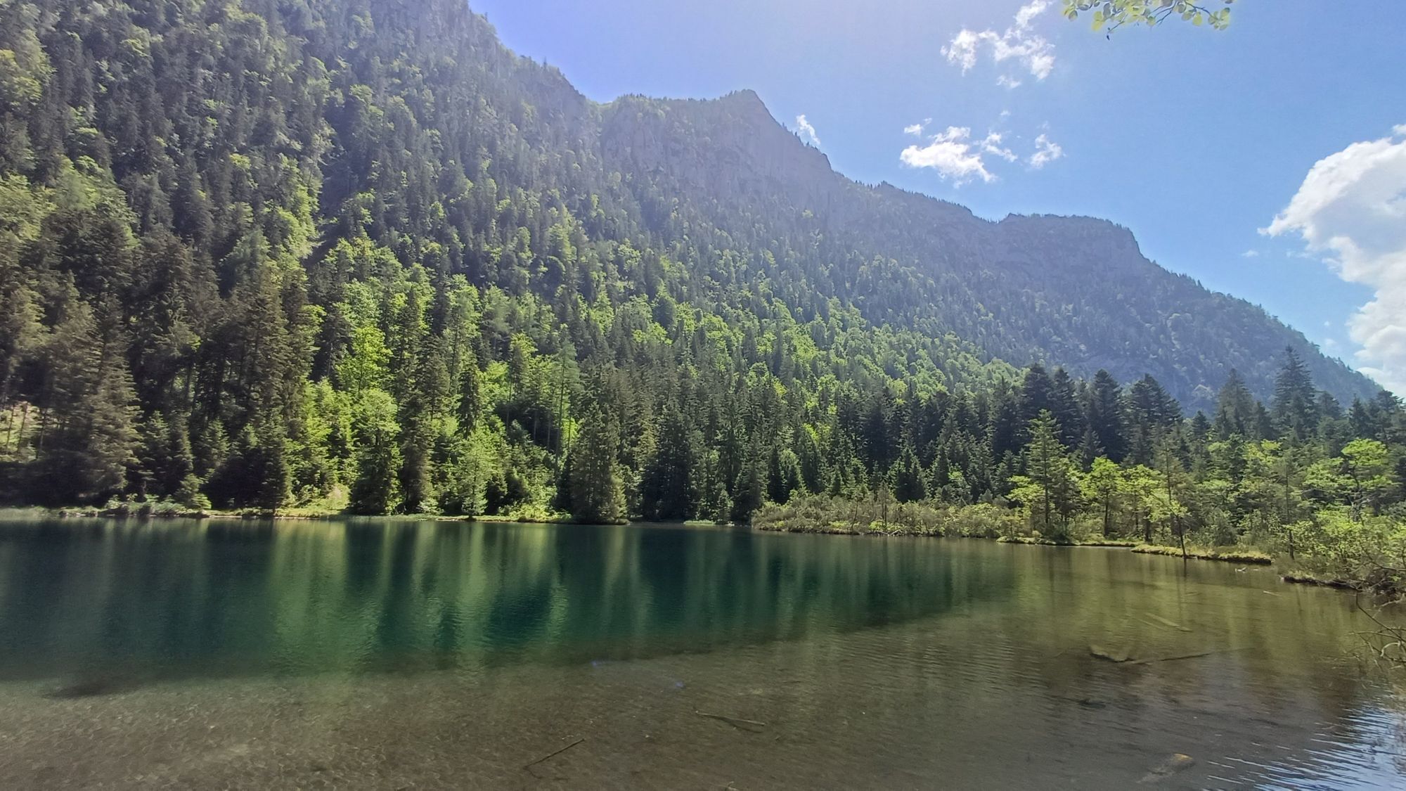
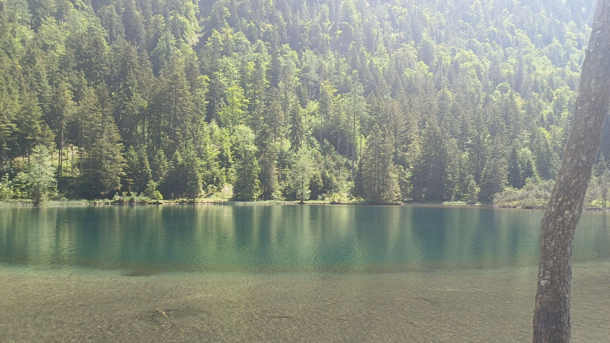
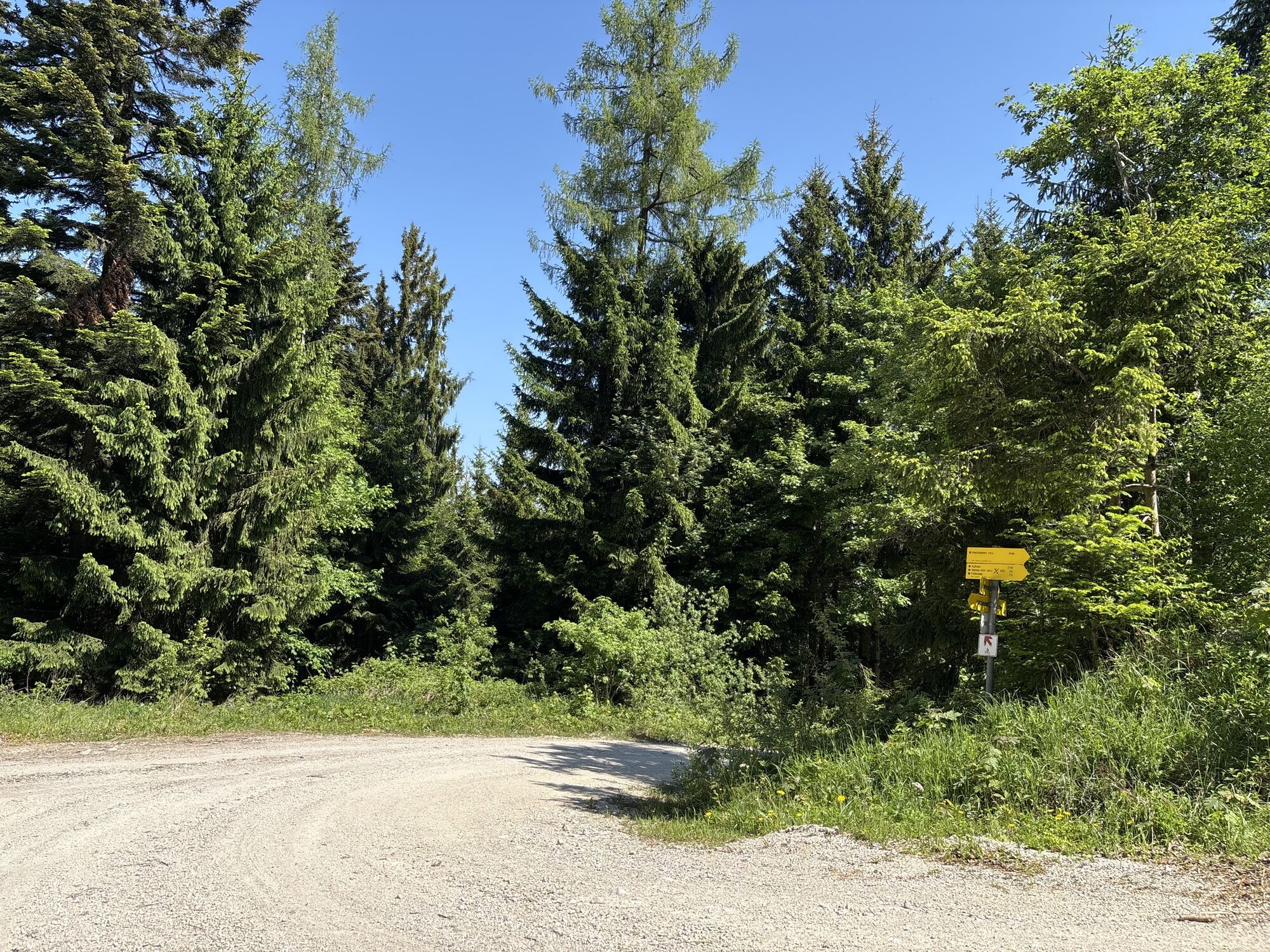
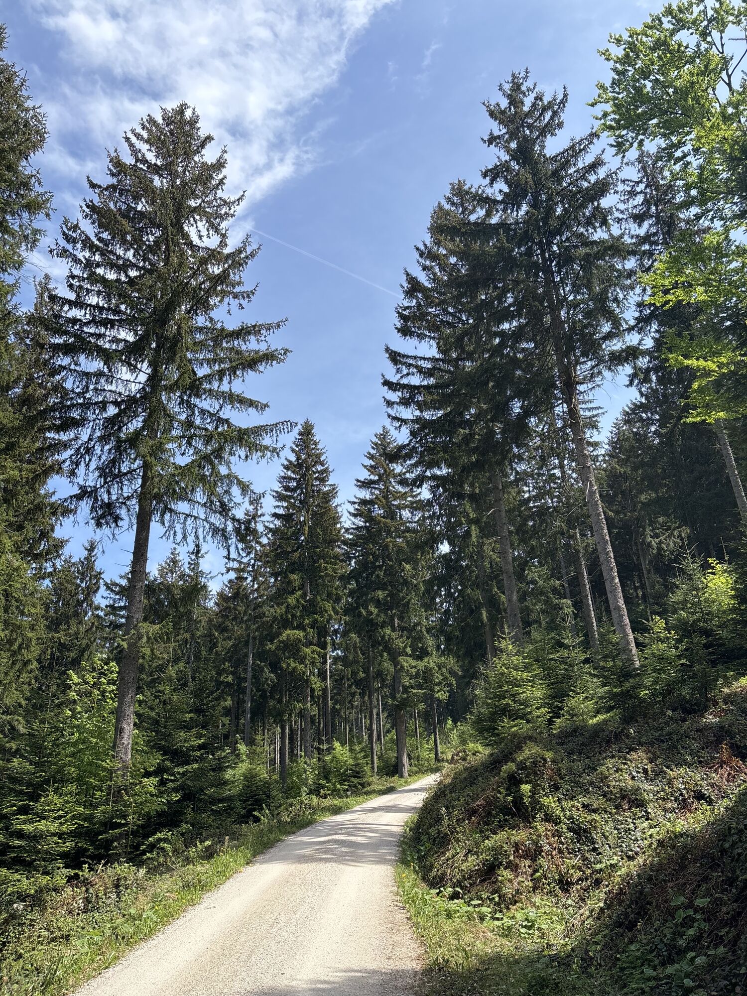
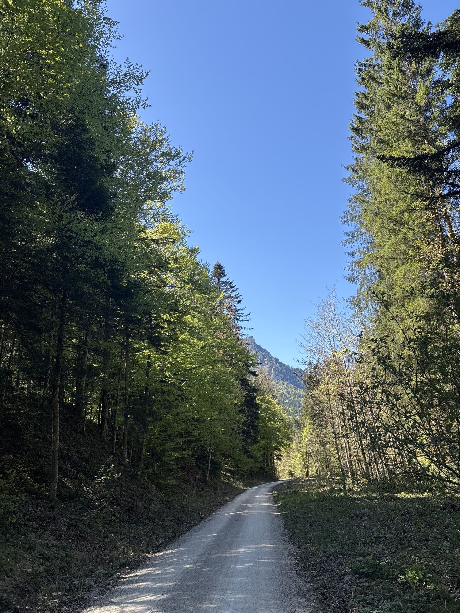
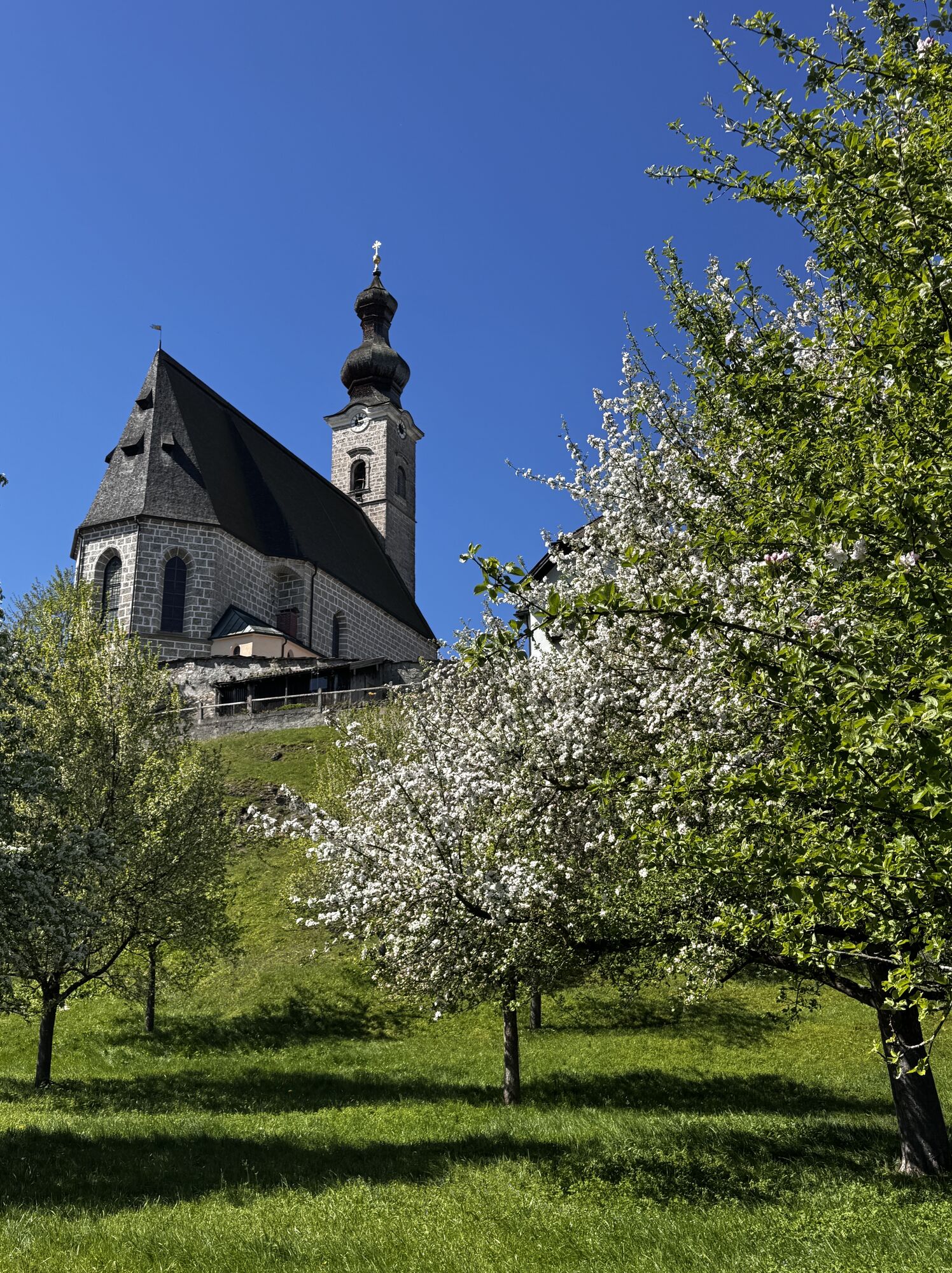
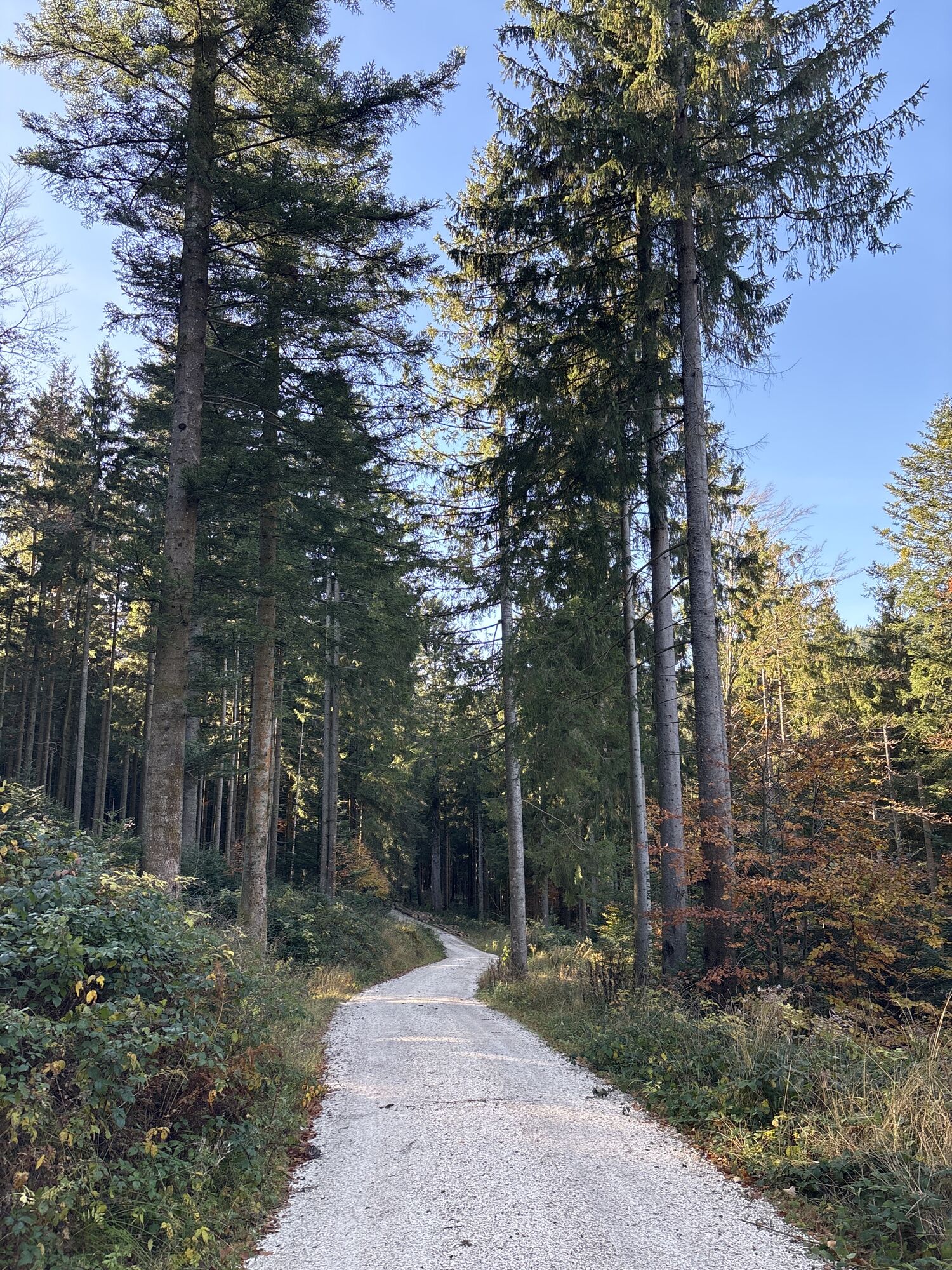
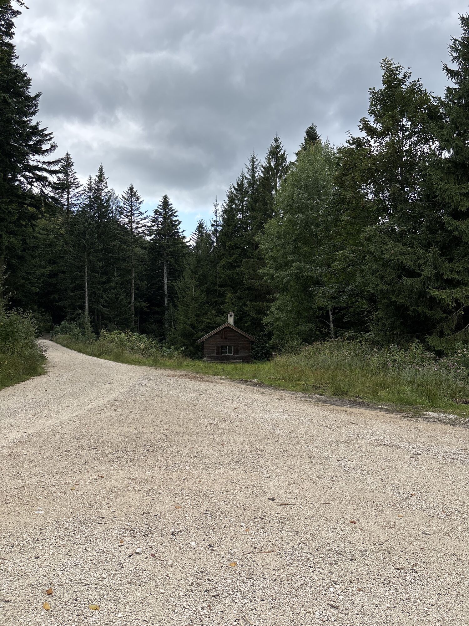
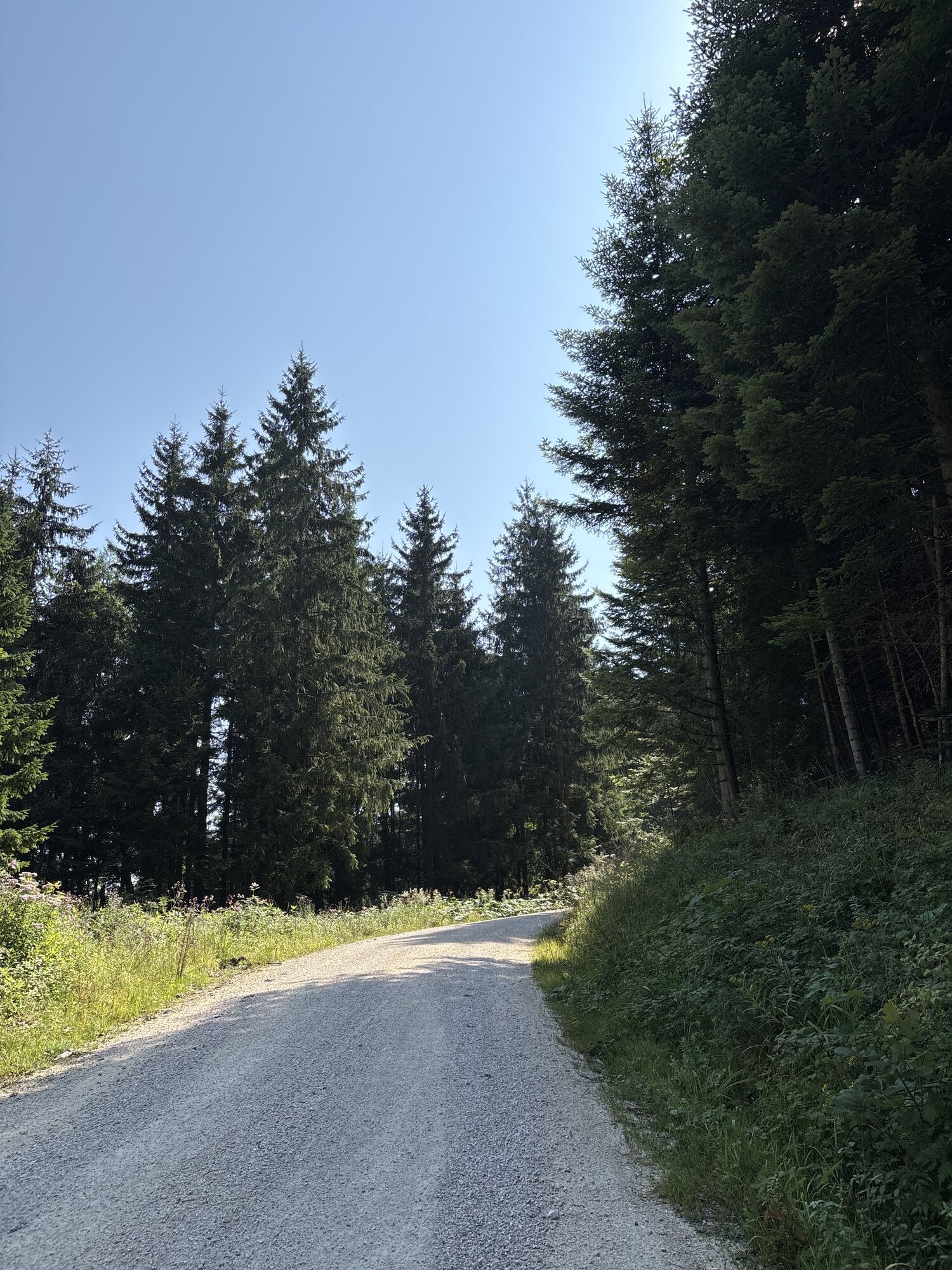
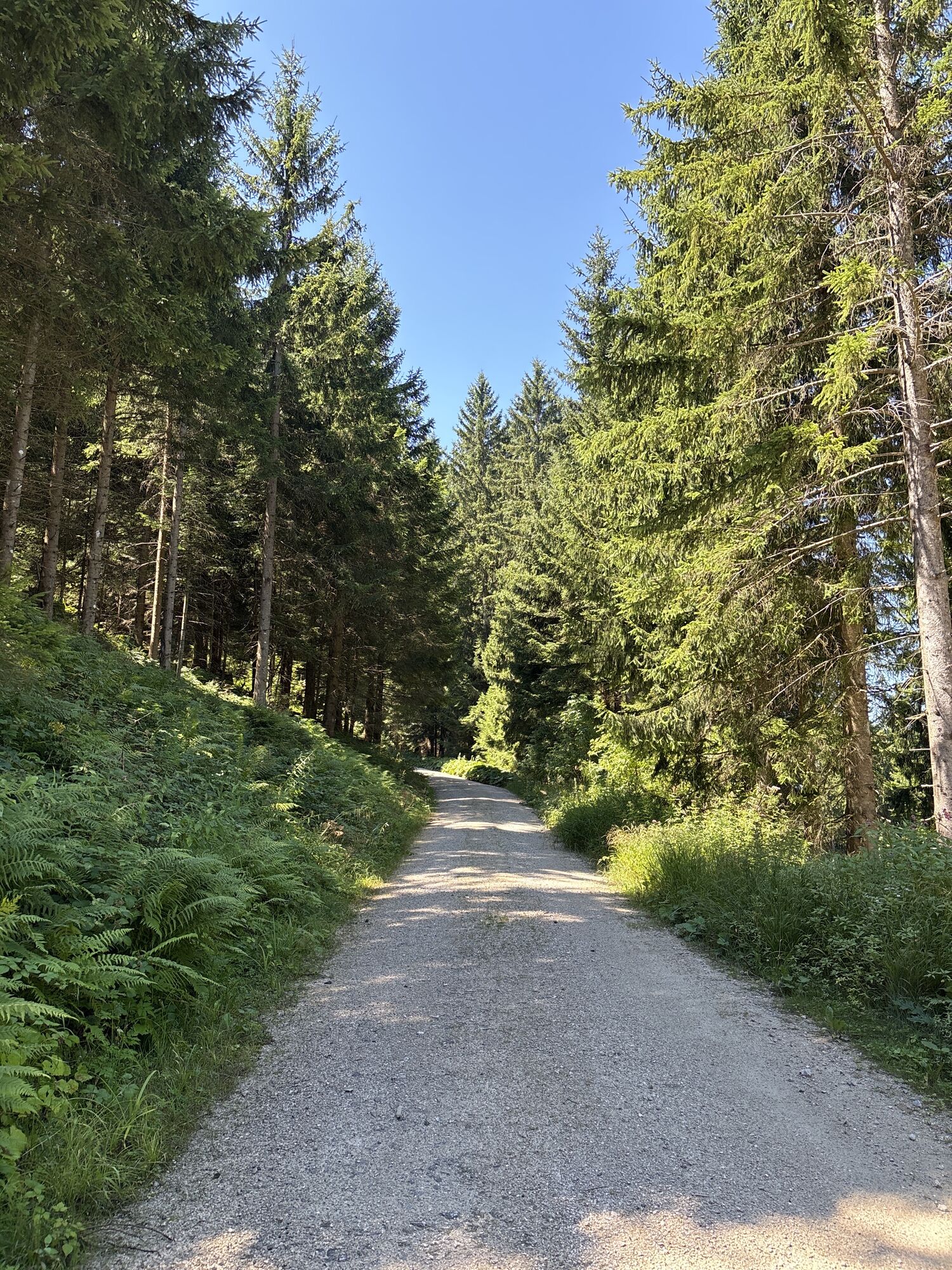
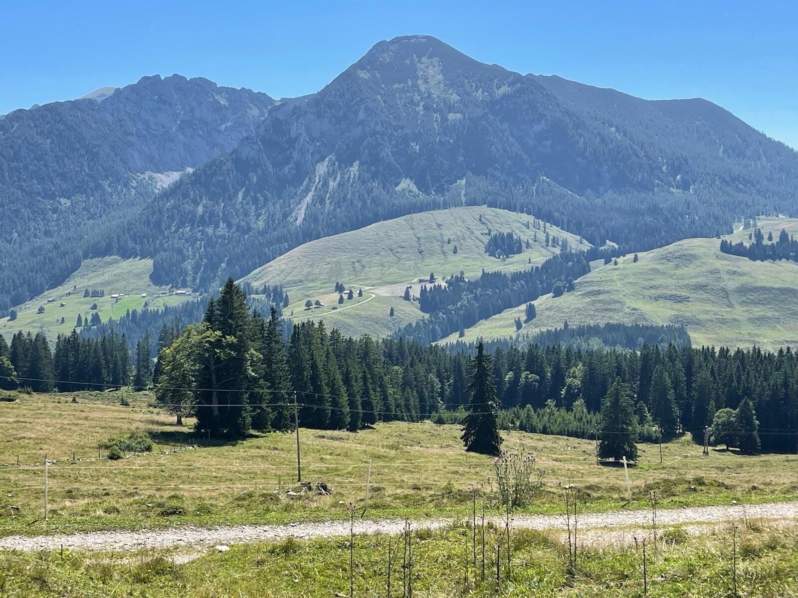
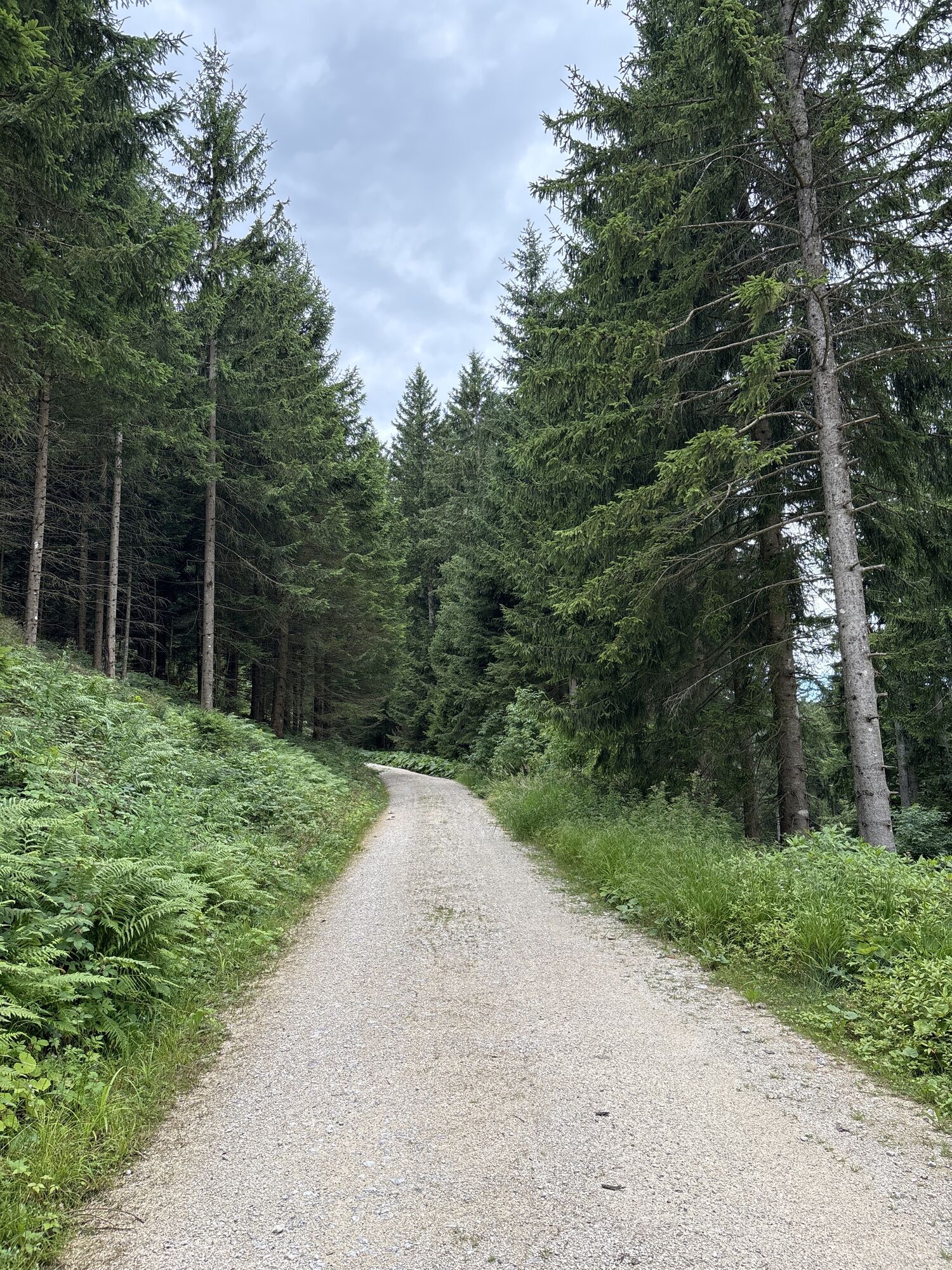
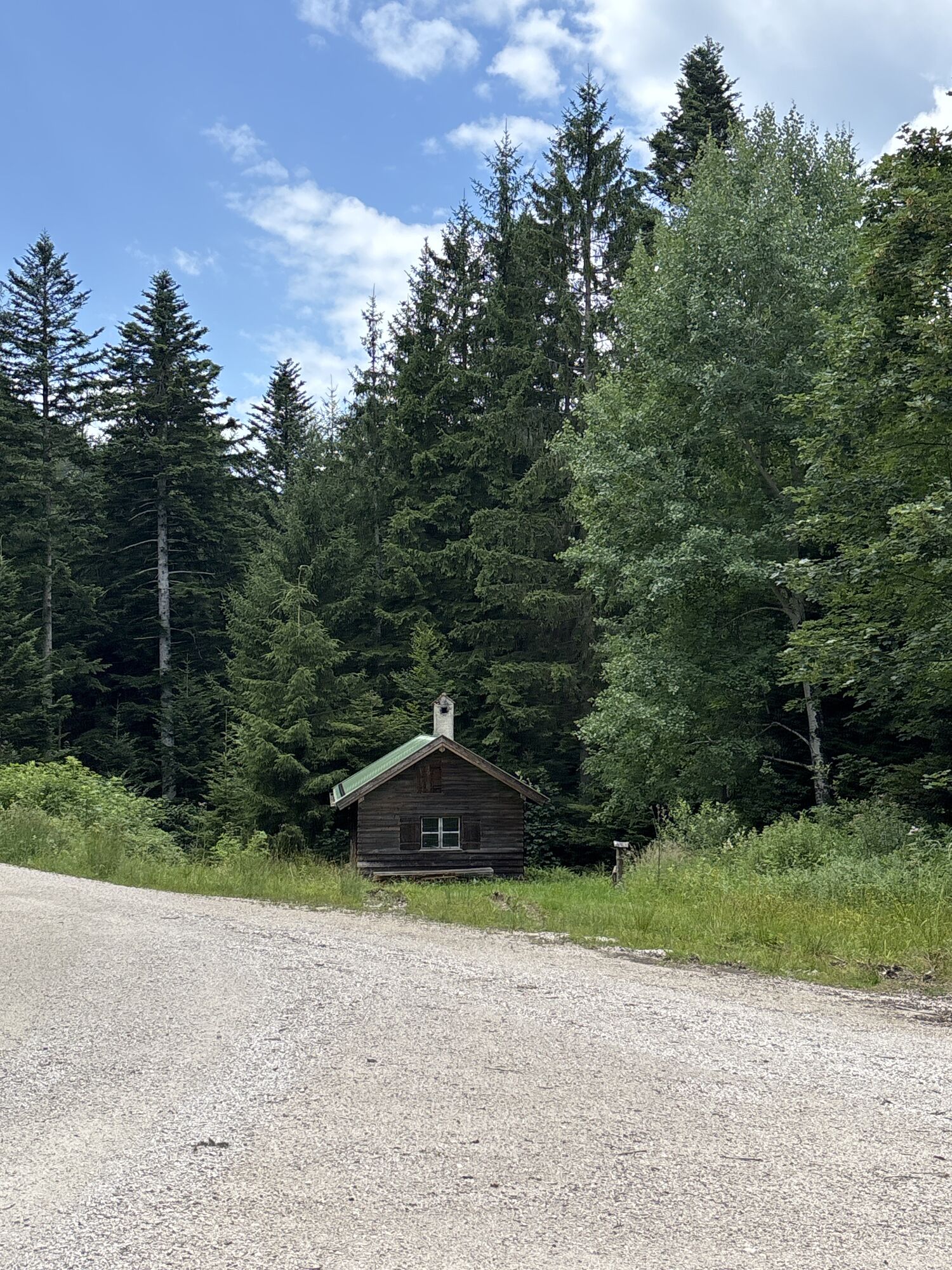
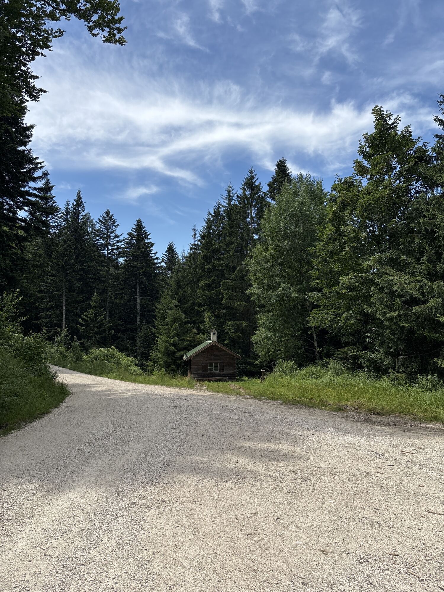
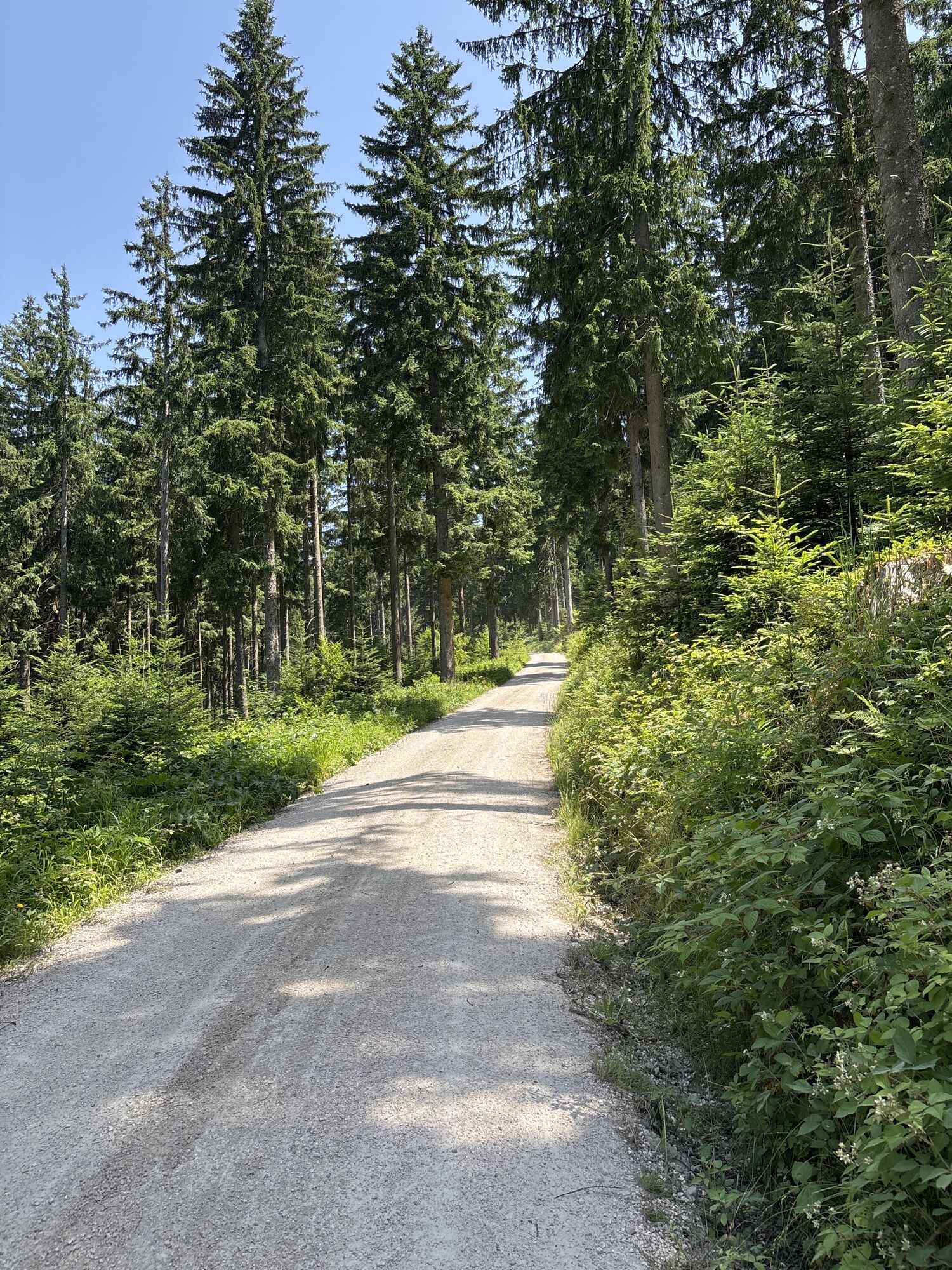
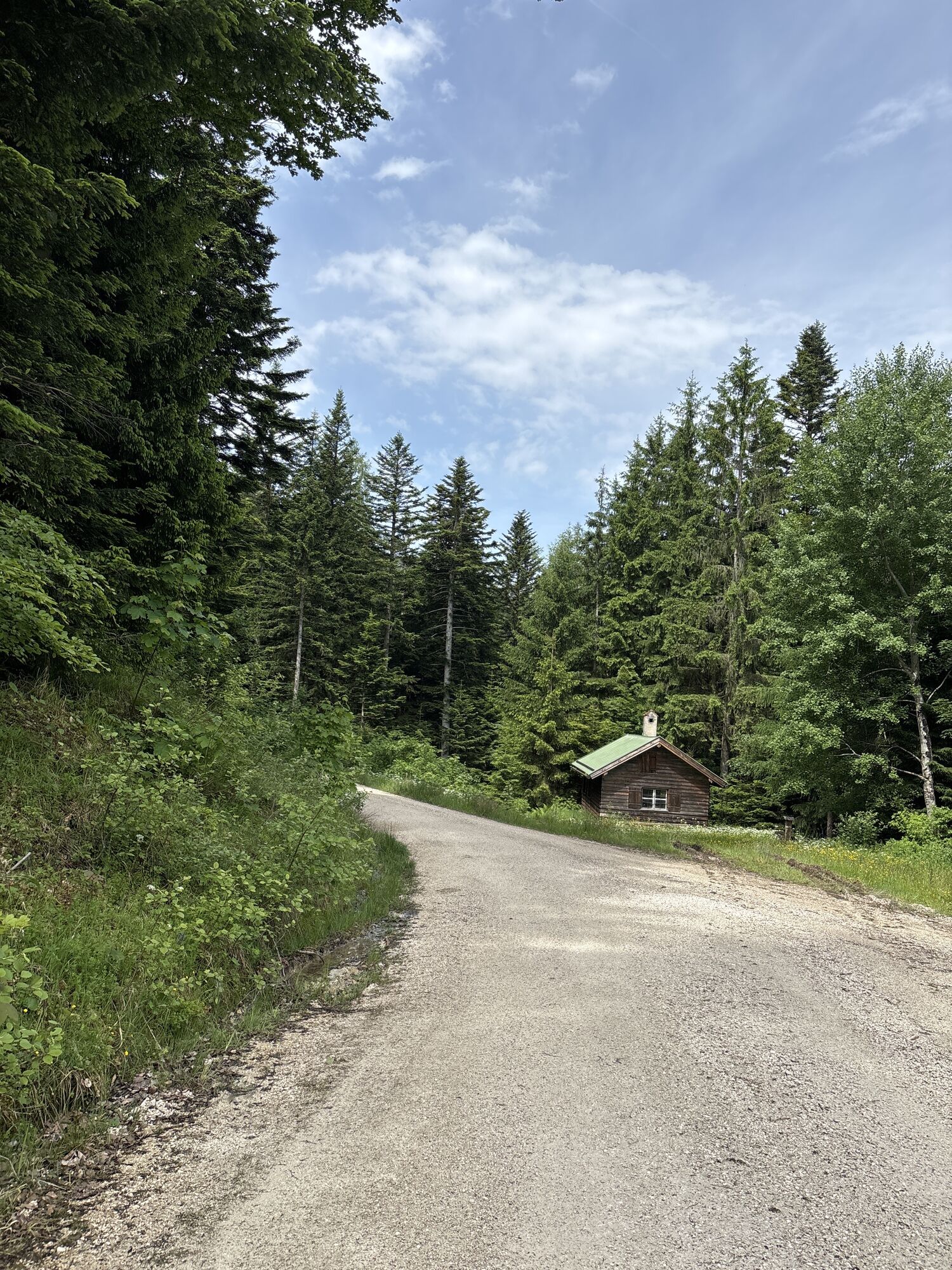
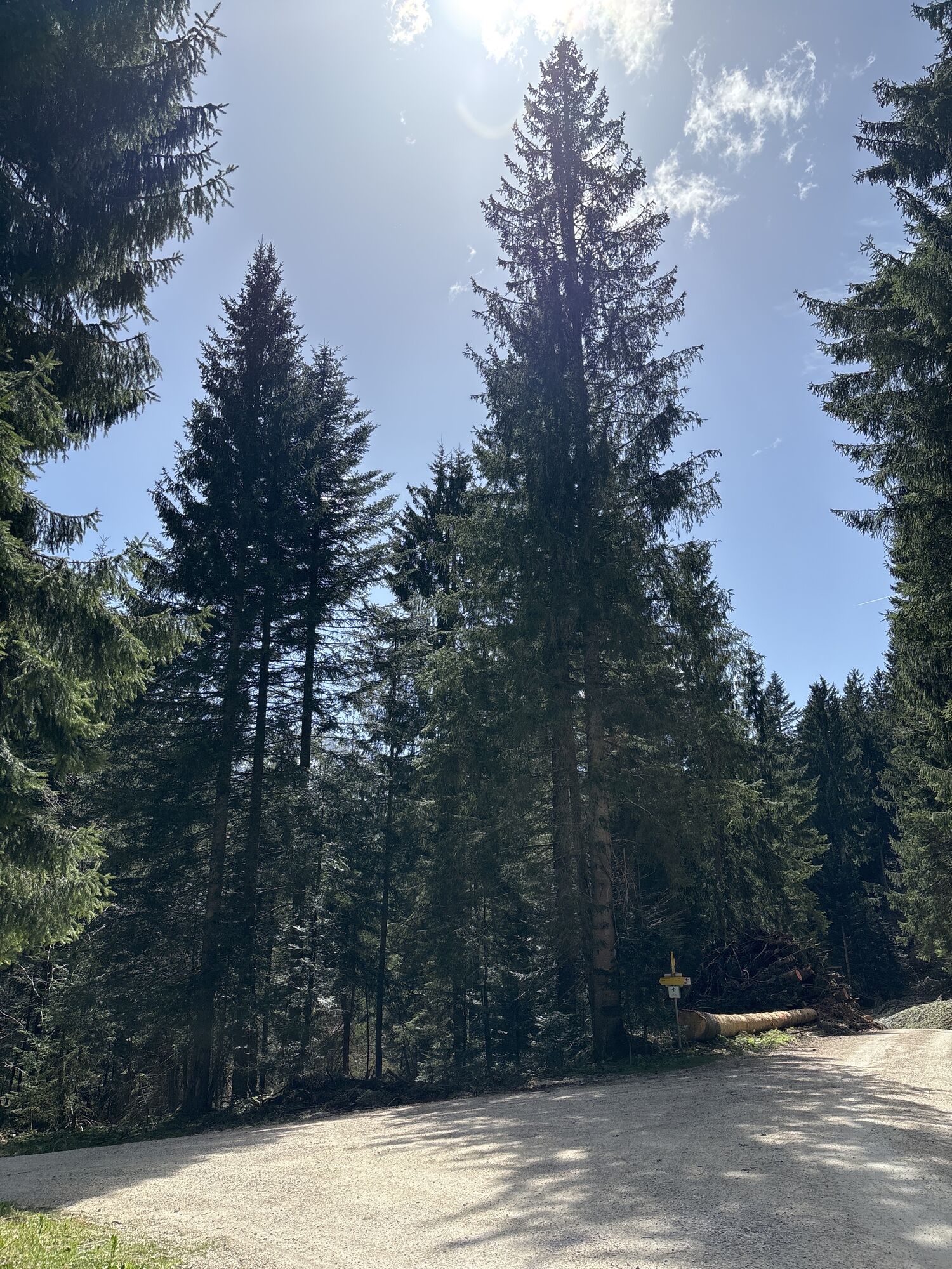
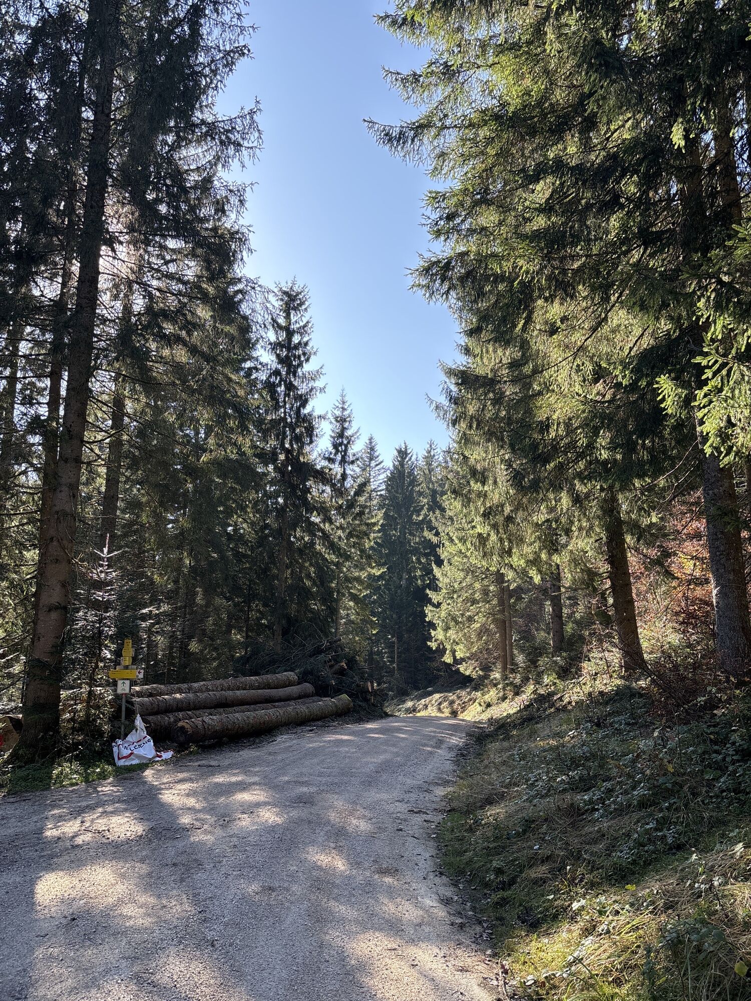
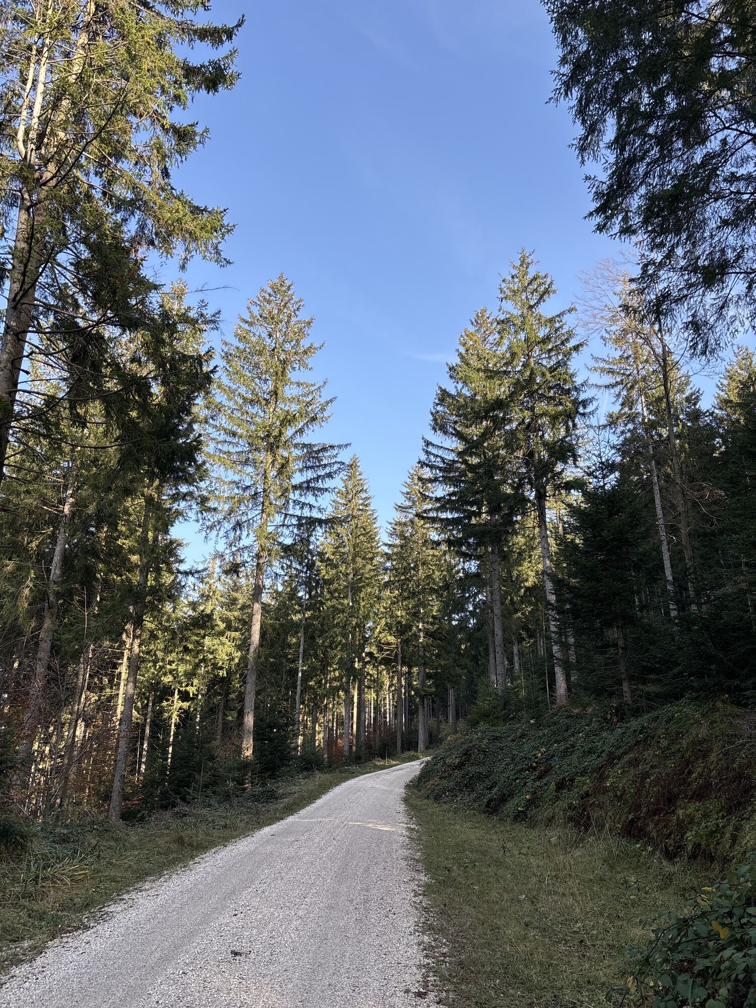
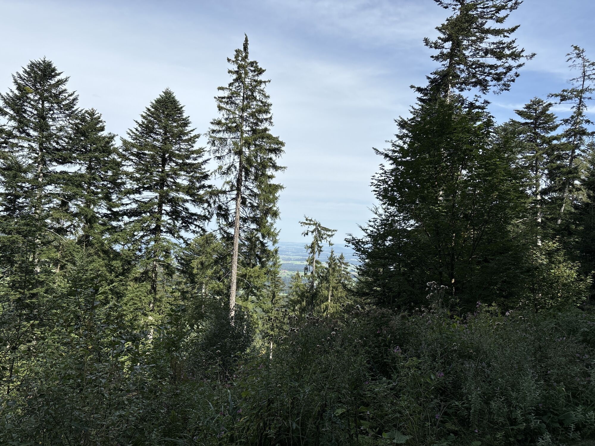
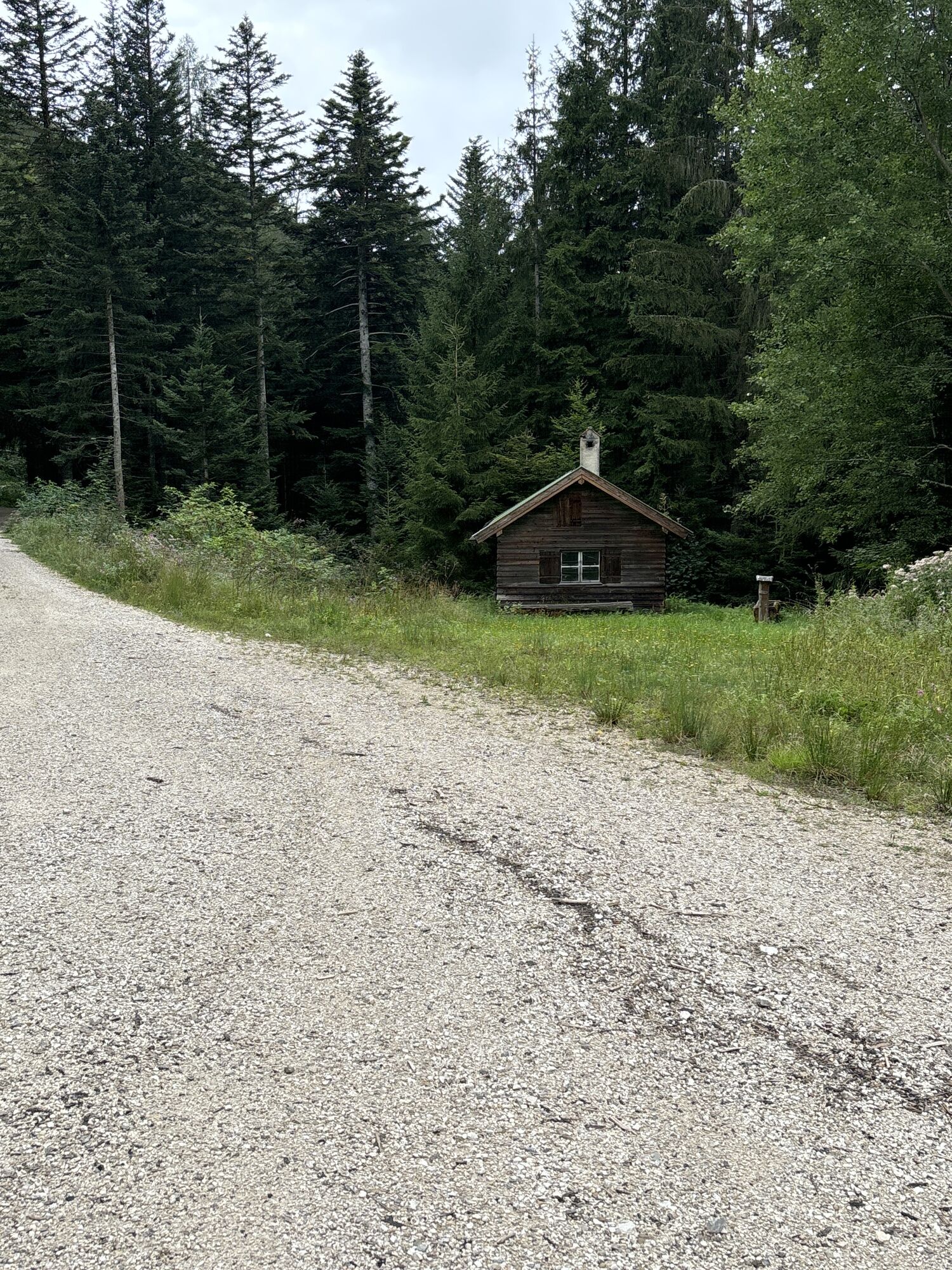
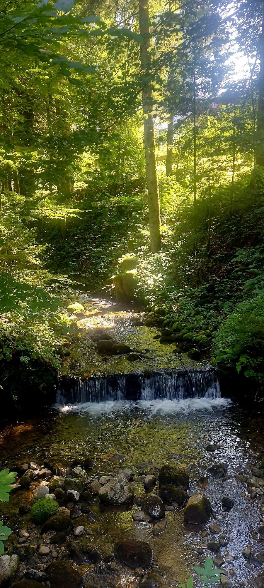
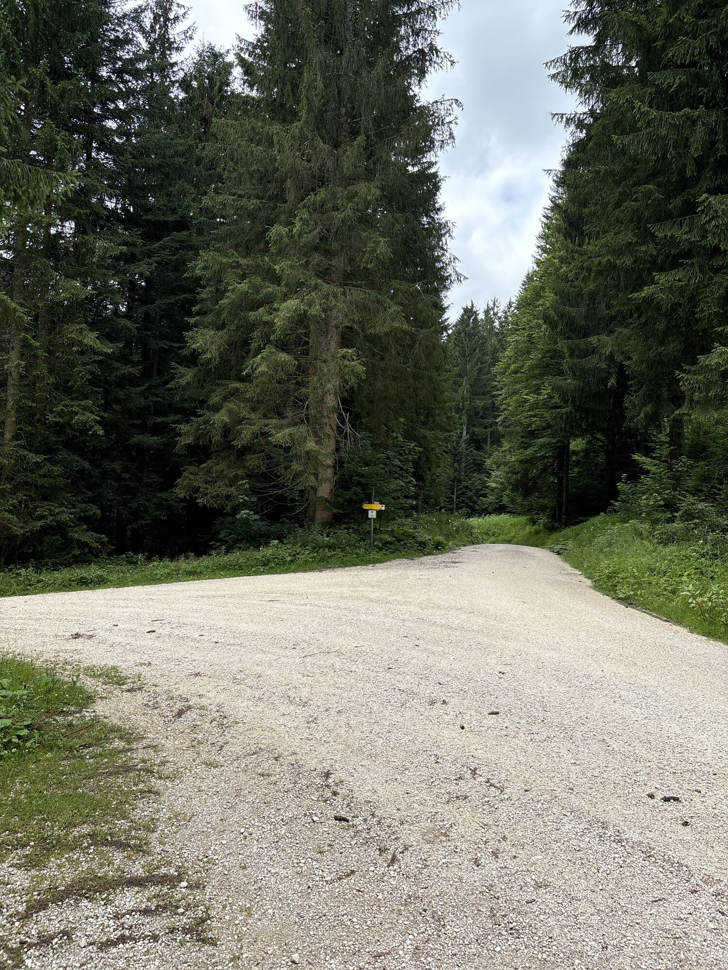
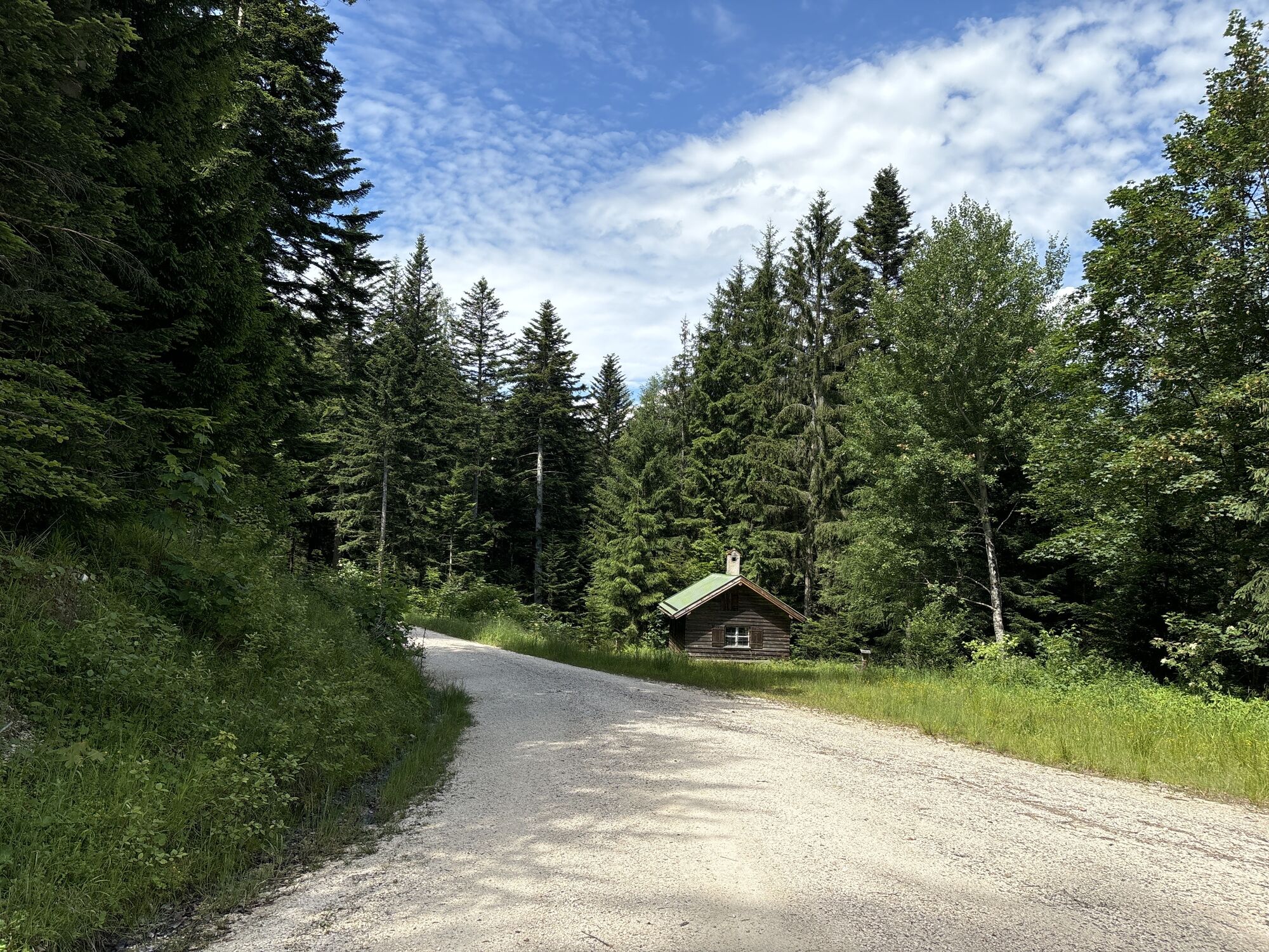
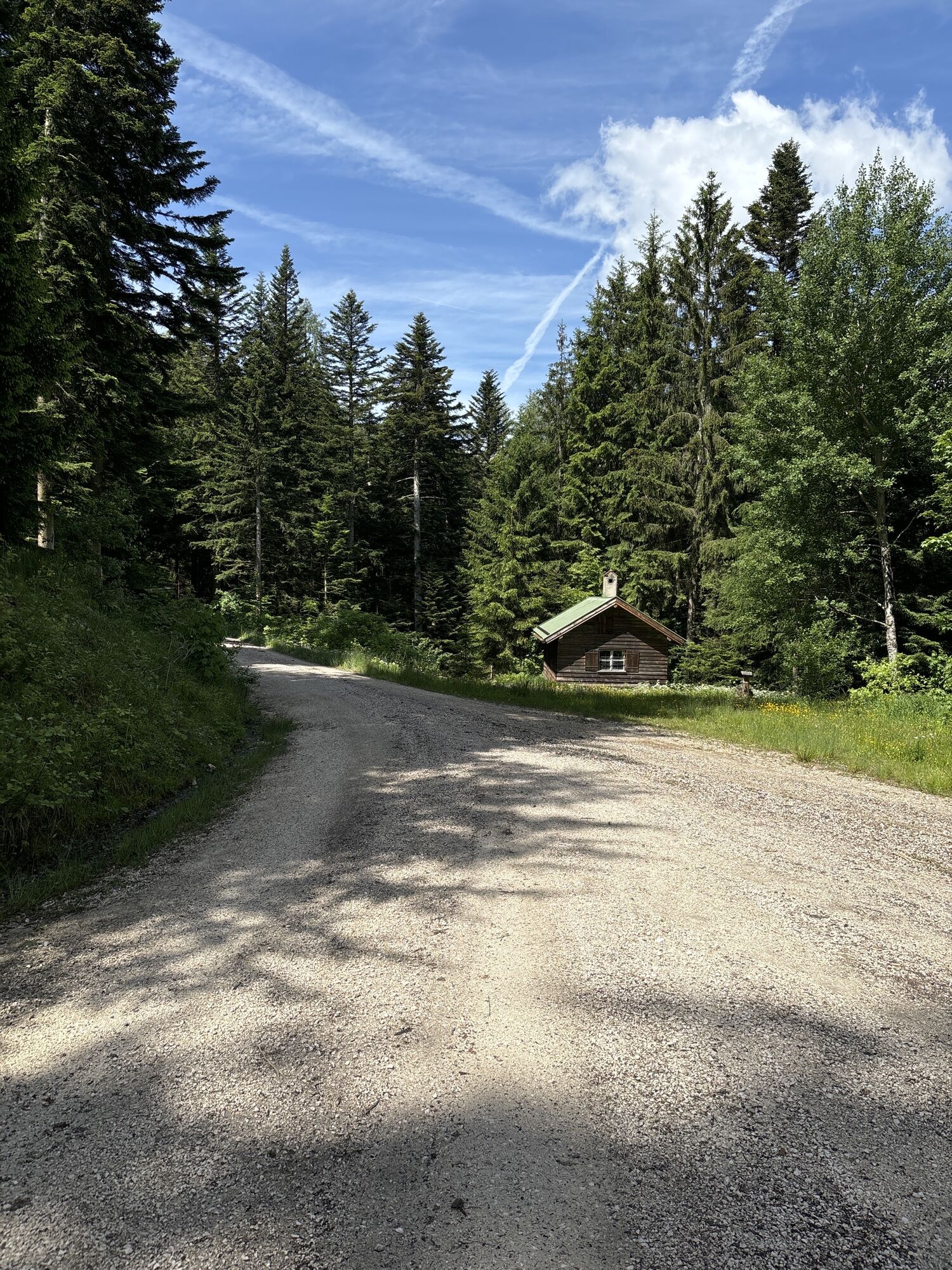

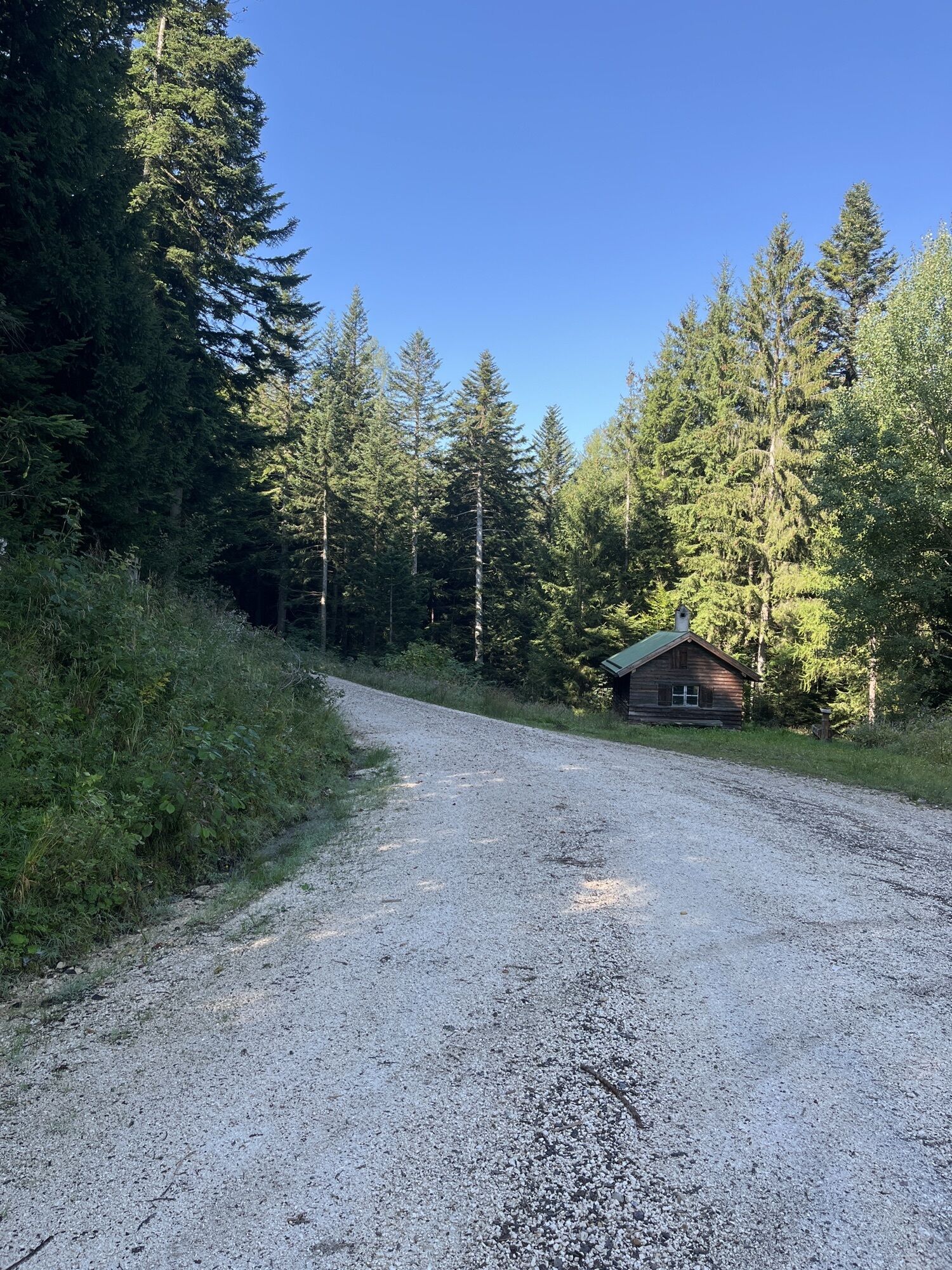
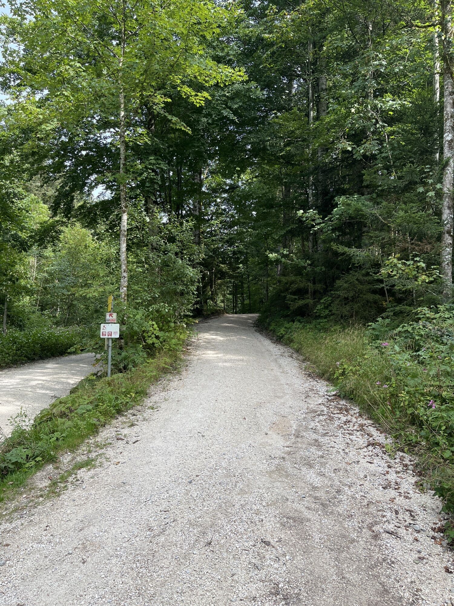

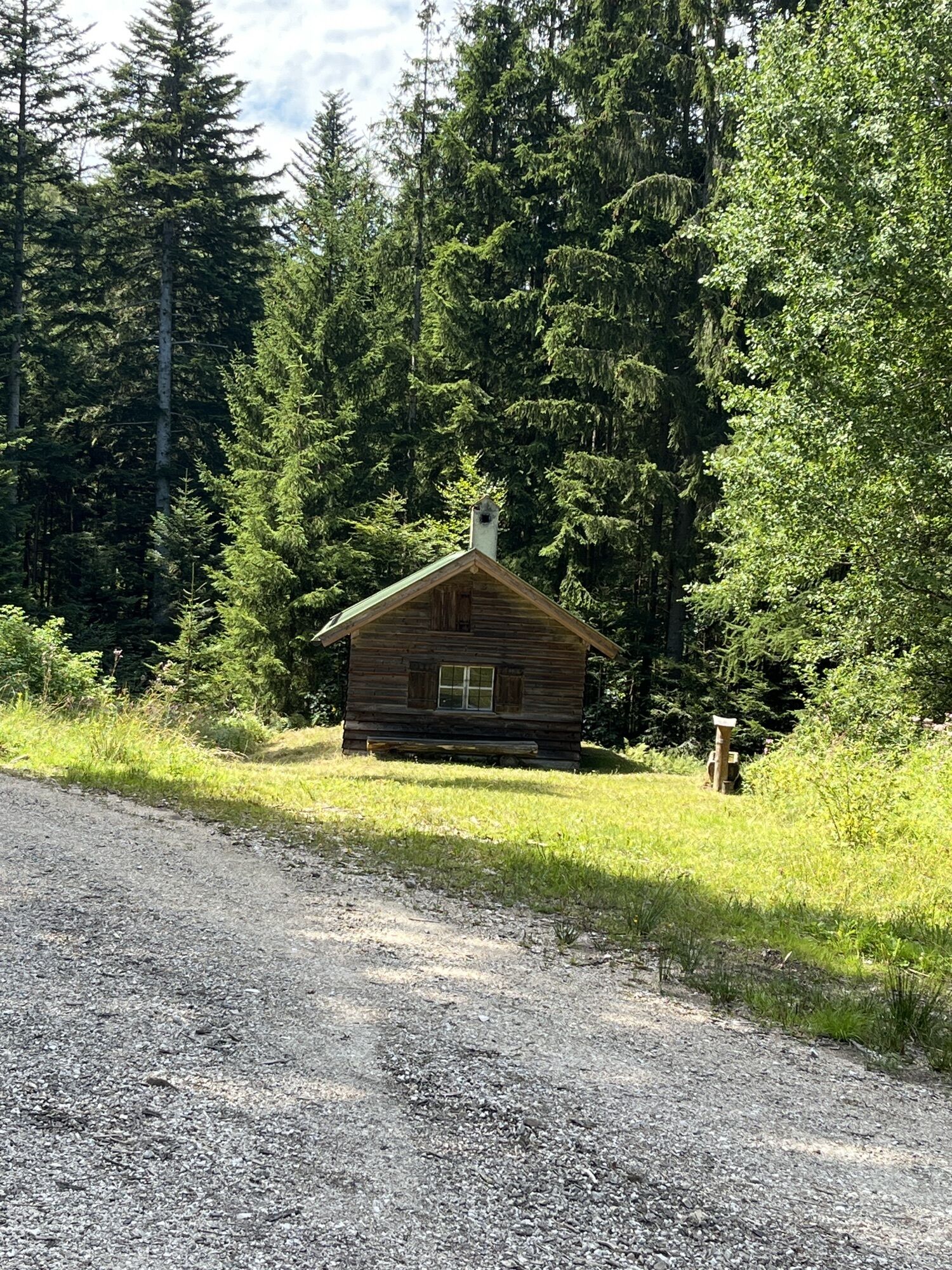
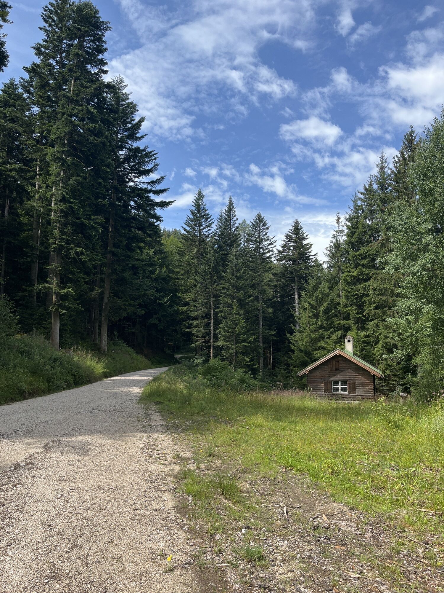
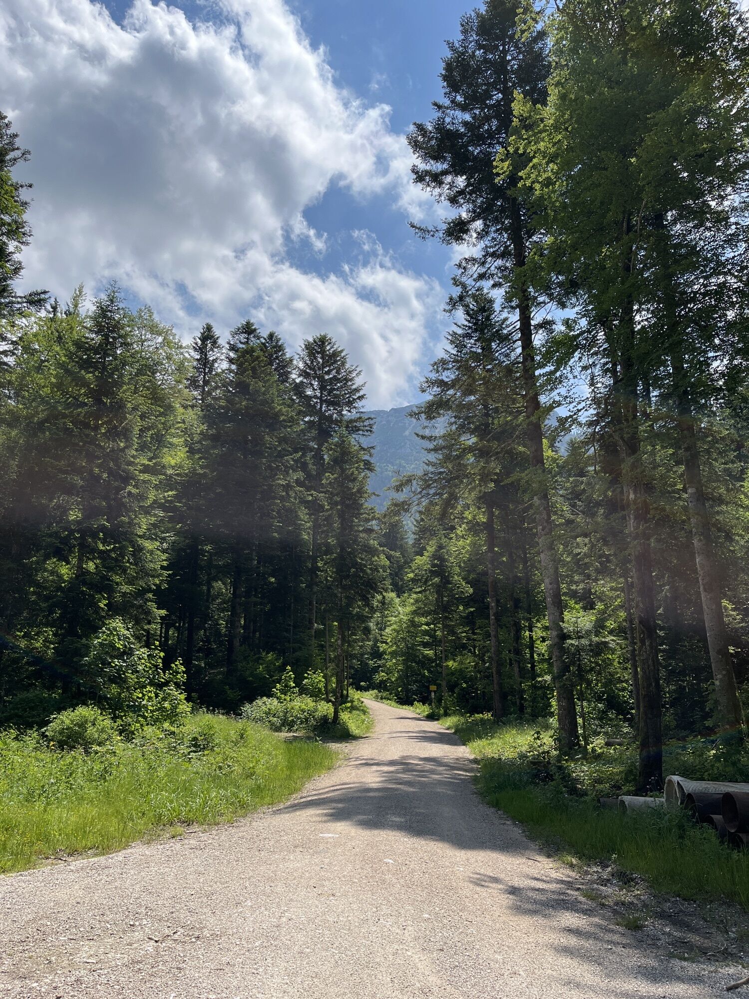
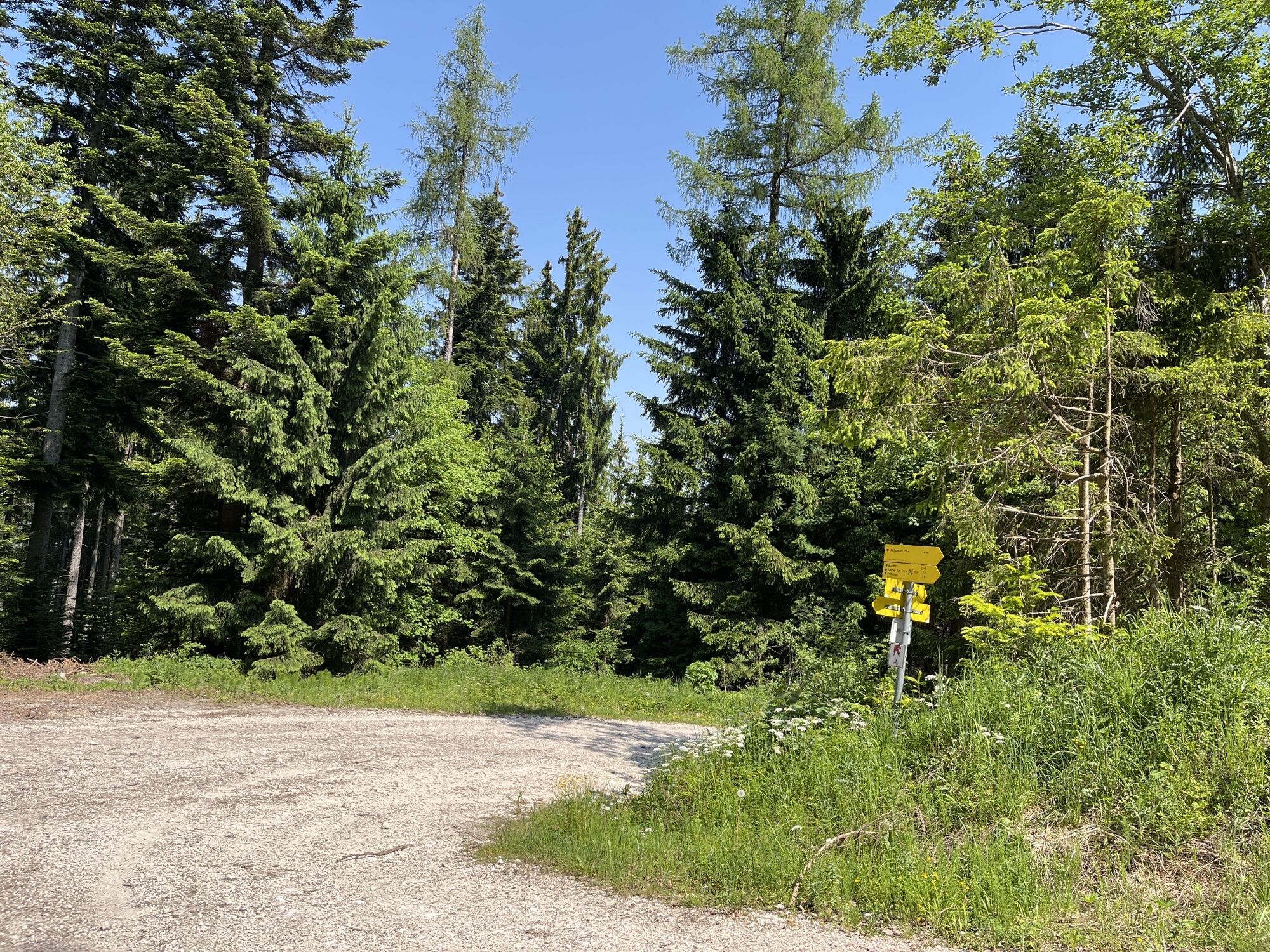
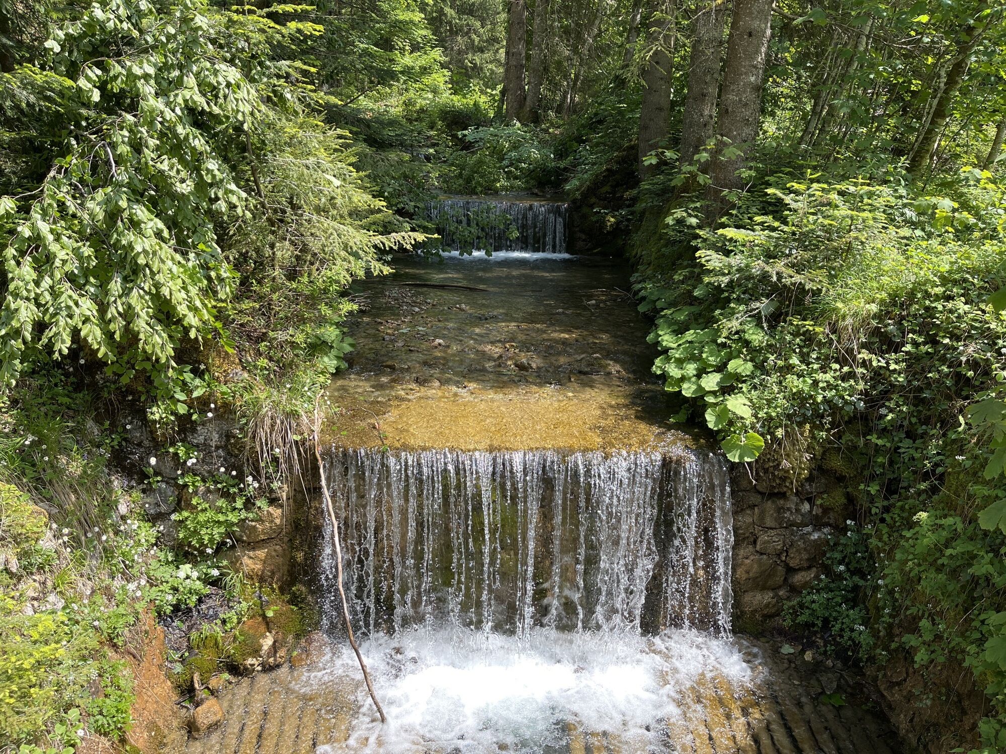
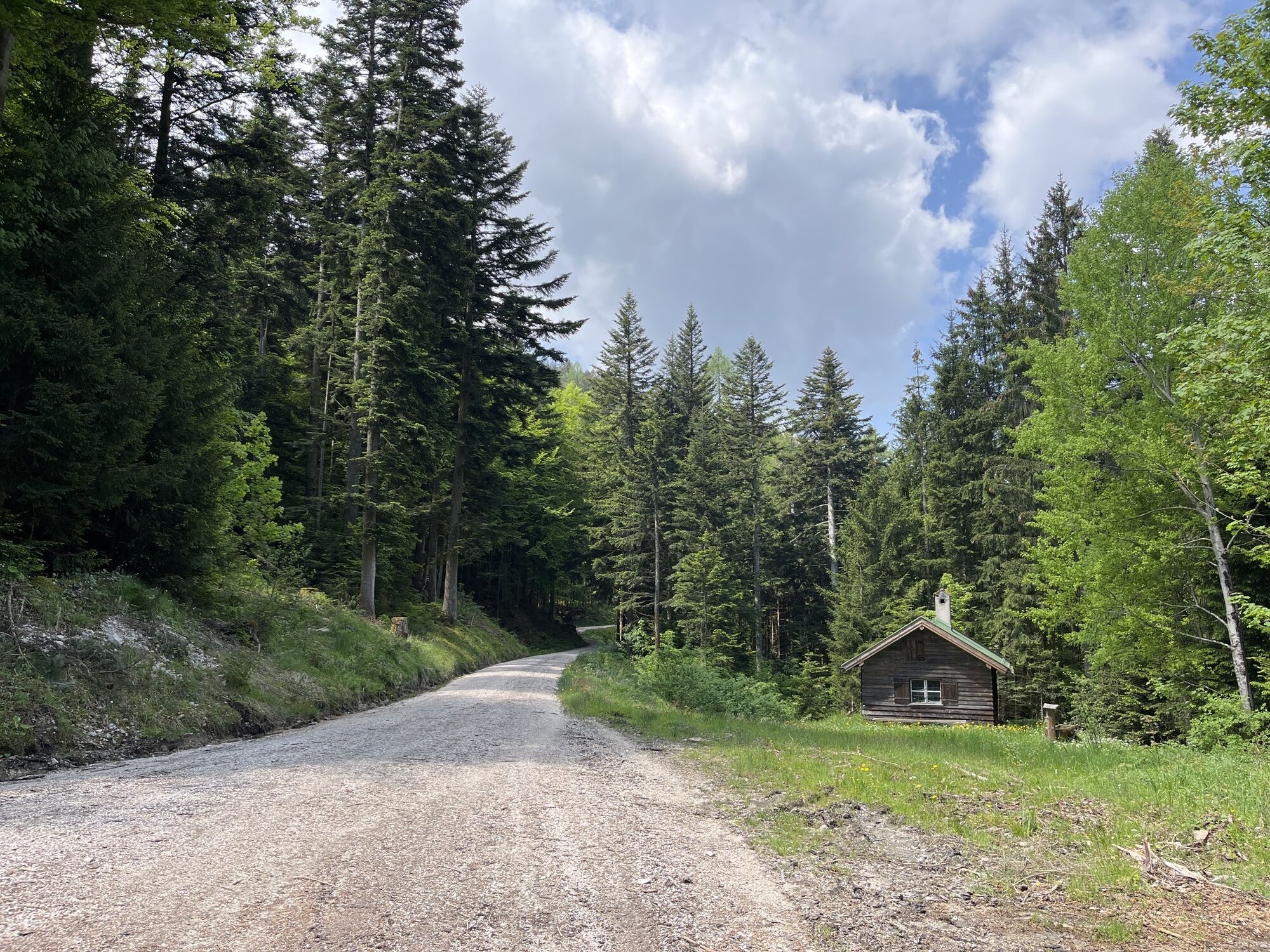
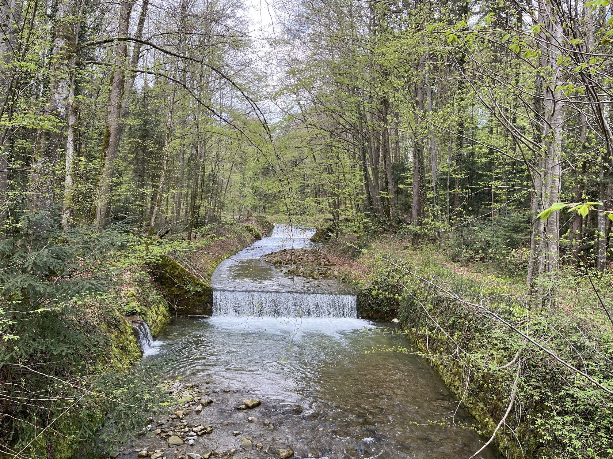
Way: starting point Zwing. From here, the initially flat forest path leads past the Falkensee. We continue in the direction of Adlgaß up to the Inzellerhöhe. The forest path now runs down over the Fürmannalm...
Way: starting point Zwing. From here, the initially flat forest path leads past the Falkensee. We continue in the direction of Adlgaß up to the Inzellerhöhe. The forest path now runs down over the Fürmannalm to Anger. On side roads we finally reach Piding along the Stoißer Ache. Once across the village we cycle parallel to the Saalach to Bad Reichenhall. The steep ascent to the Jochberg stretches up to over 950 m. Strength and good physical condition are required to overcome the approximately 500 vertical meters. Special features: Very varied tour in wonderful nature. Refreshments: Adlgaß, Anger, Piding, Bad Reichenhall, Weißbach and Zwing Tip: We park our mountain bikes on the Jochberg and hike up to the Zwieselam. From here you have a magnificent view over the mountains!

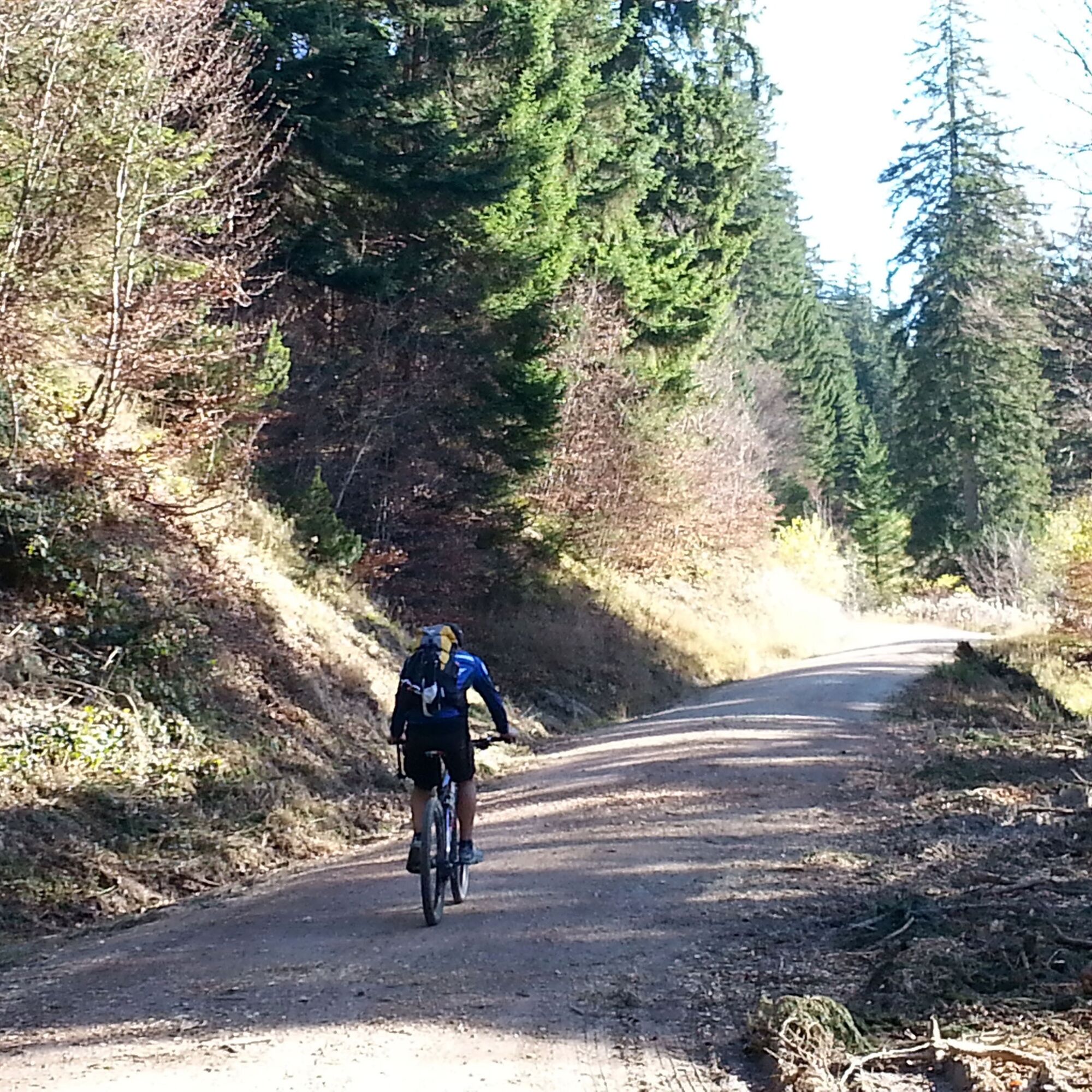
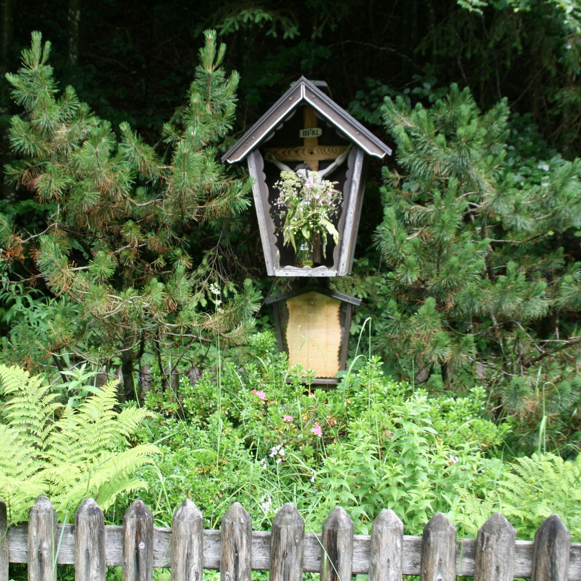
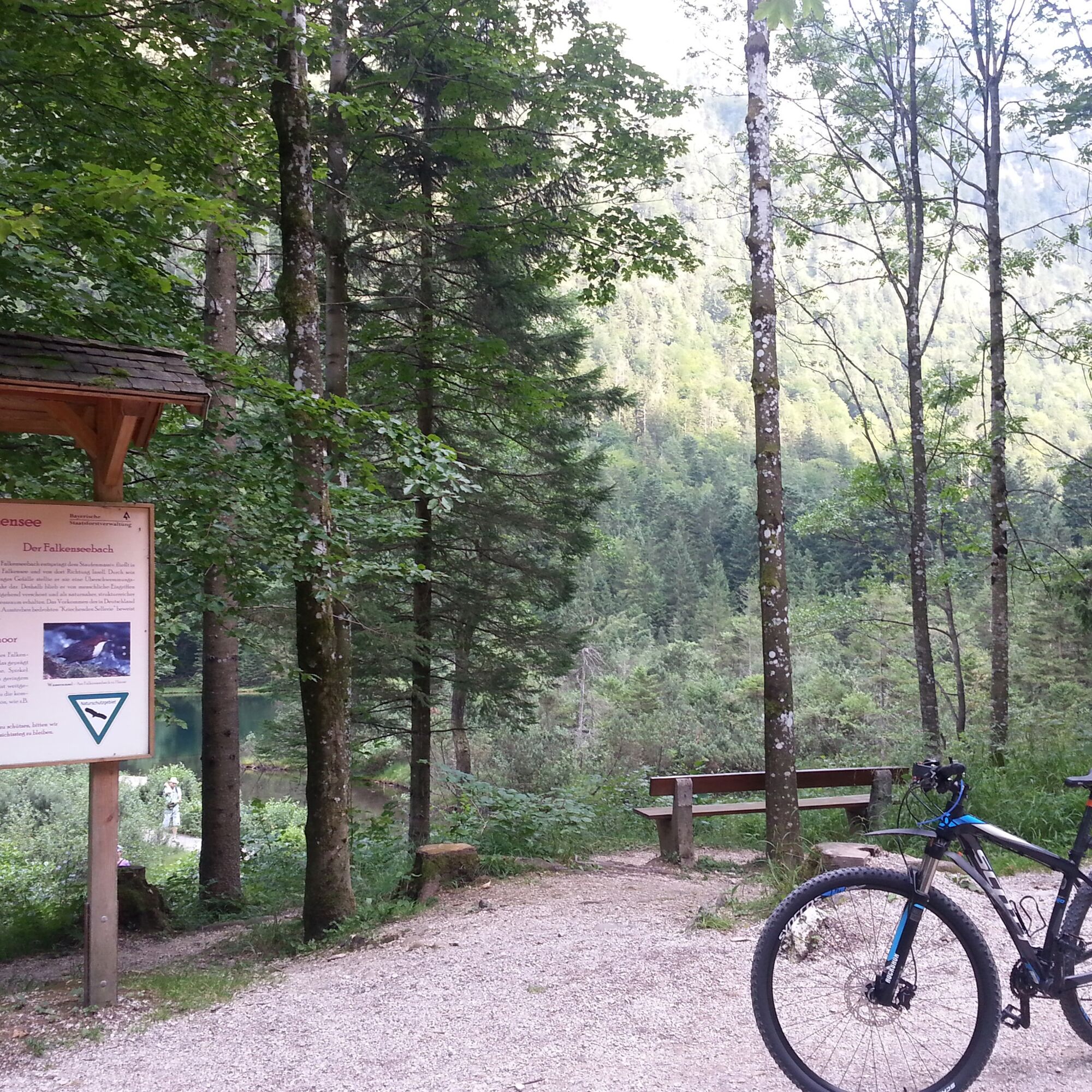
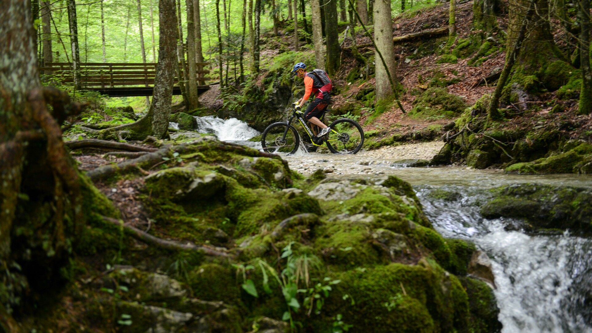

Coming from Siegsdorf, cross the town on the B306. After a good kilometer in the direction of Weißbach/Bad Reichenhall, you will reach the district of Zwing. There is a parking space to the left of the main road.
incell
Webové kamery z prehliadky
-
Anger - Högl
-
Spa & Fitness Resort Rupertus Therme
-
Spa & Fitness Resort Rupertus Therme
-
Predigtstuhl - Bad Reichenhall
-
Predigtstuhl - Bad Reichenhall
-
Predigtstuhl - Bad Reichenhall
-
Predigtstuhl - Bad Reichenhall
-
Predigtstuhl - Bad Reichenhall
-
Predigtstuhl - Bad Reichenhall
-
Predigtstuhl - Bad Reichenhall
-
Königlicher Kurgarten
-
Königlicher Kurgarten
-
Anger - Högl
-
Anger - Högl
-
Anger - Högl
-
Anger - Högl
-
Anger - Högl
-
Predigtstuhl III
-
Predigtstuhl III
-
Predigtstuhl III
-
Predigtstuhl III
-
Predigtstuhl III
-
Predigtstuhl III
-
Inzell / Camping Lindlbauer
-
Predigtstuhl III
-
Predigtstuhl III
-
Bad Reichenhall - Hotel Seeblick Thumsee
Získajte prehľad
Vždy naživo na mieste s viac ako 9 500 webovými kamerami. bergfex Ako používateľ Pro si teraz môžete pozrieť príslušné webové kamery pre mnohé zájazdy v aplikácii zájazdy z. Môžete si tak priamo prezerať aktuálne podmienky.
Obľúbené výlety v okolí
-
4,5
Staufen-Bergtour
strednáTuristika 14,1 km -
4,5
Alpgarten-Rundweg
Turistika 2,93 km -
4,1
Durch die Almbachklamm nach Ettenberg
Turistika 7,54 km -
4,2
Untersberg, Toni-Lenz-Hütte
Turistika 4,86 km -
3,9
Rundwanderweg zur Steinernen Agnes
Turistika 9 km -
4,9
Dötzenkopf Rundweg
strednáTuristika 6,95 km -
4,9
Untersberg (Salzburger Hochthron)
strednáTuristika 11,8 km -
4,9
Frillensee round from Adlgaß
Turistika 5,82 km -
4,8
Reitsteig - Dopplersteig Runde_Untersberg
strednáVysoké turné 9,89 km -
4,7
Almbachklamm zum Gasthof Dürrlehen
strednáTuristika 8,94 km
Turistika a stopovanie


Nenechajte si ujsť ponuky a inšpiráciu na ďalšiu dovolenku
Vaša e-mailová adresa bol pridaný do poštového zoznamu.





